bobspirko.ca | Home | Canada Trips | US Trips | Hiking | Snowshoeing | MAP | About

Iron Lakes Ridge
aka Iron Lakes Overlook
Kananaskis, Alberta
October 25, 2014
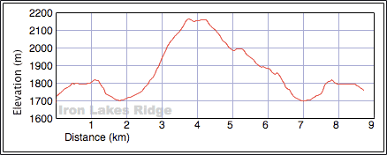
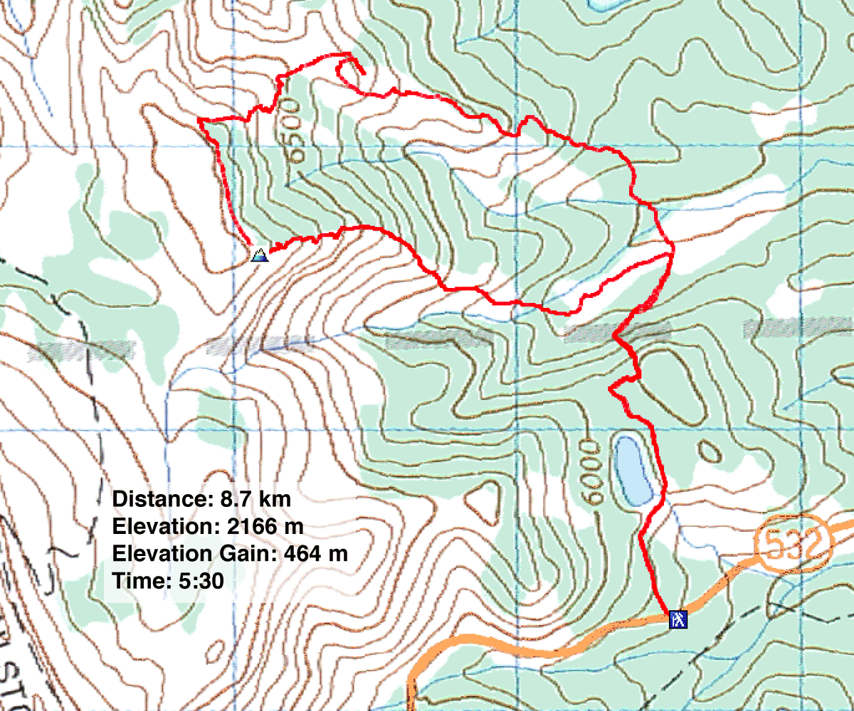
Distance: 8.7 m (5.4 mi)
Cumulative Elevation Gain: 652 m (2139 ft)
For years I've been interested in the unnamed peak that overlooks Iron Lakes in Kananaskis. I was attracted to its open slopes and thought it would provide a good viewpoint for the lakes. The generous map contours suggested an easy trip, especially if done as a loop as I planned. But the map belied the true nature of the terrain, and Iron Lakes Ridge, as I came to call it, put up more resistance than I expected. But that and the surprisingly varied scenery made it a worthwhile trip.
Sonny agreed to join Dinah and me on this little adventure. We set off down the Iron Lakes trail. And I do mean down. After passing Bear Pond we dropped 120 m to a meadow, a grassy corridor bordered by forest. We hiked to the west end of the meadow and ducked into the trees. After a brief bushwhack and a stream-hop, we came to the open slopes at the end of the southeast ridge. We started up the ridge.
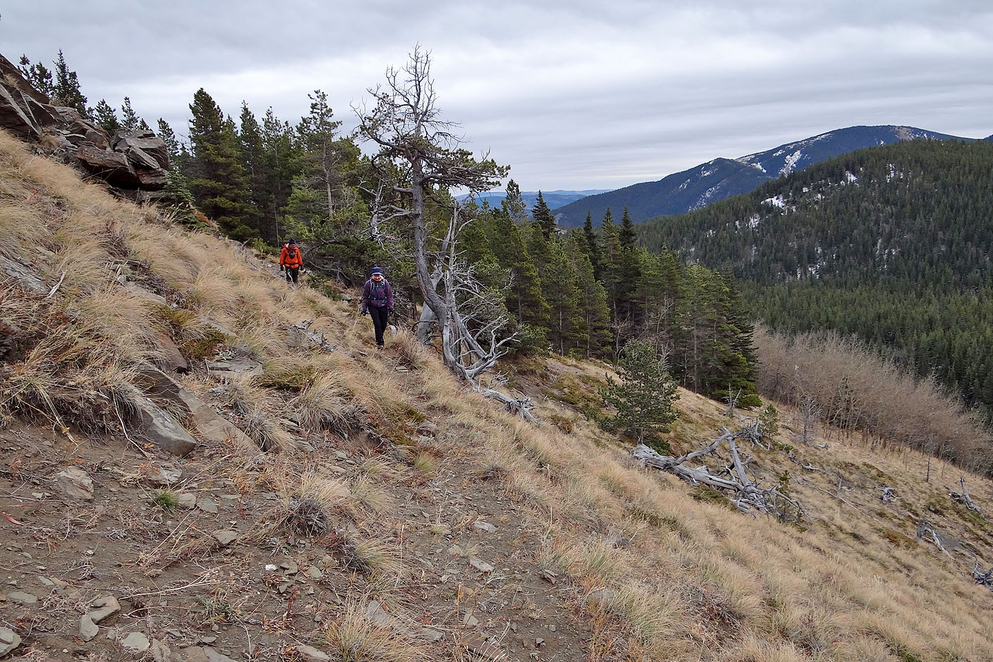
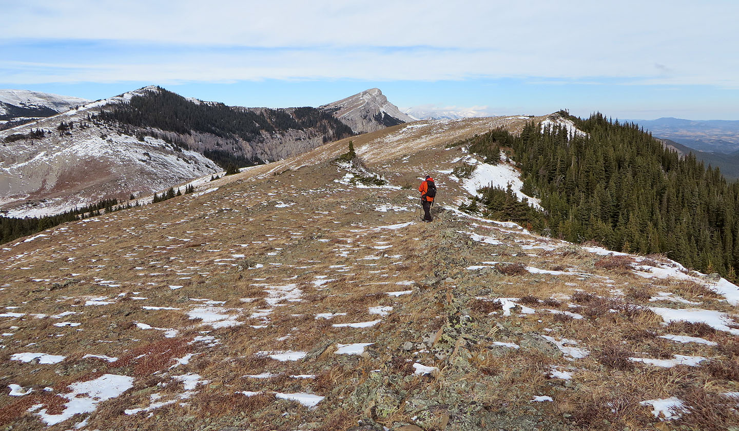
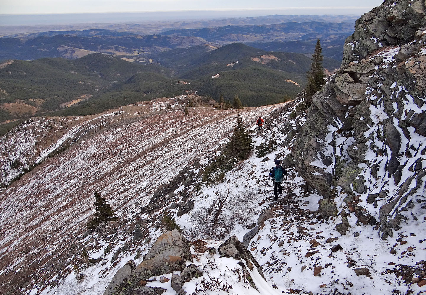
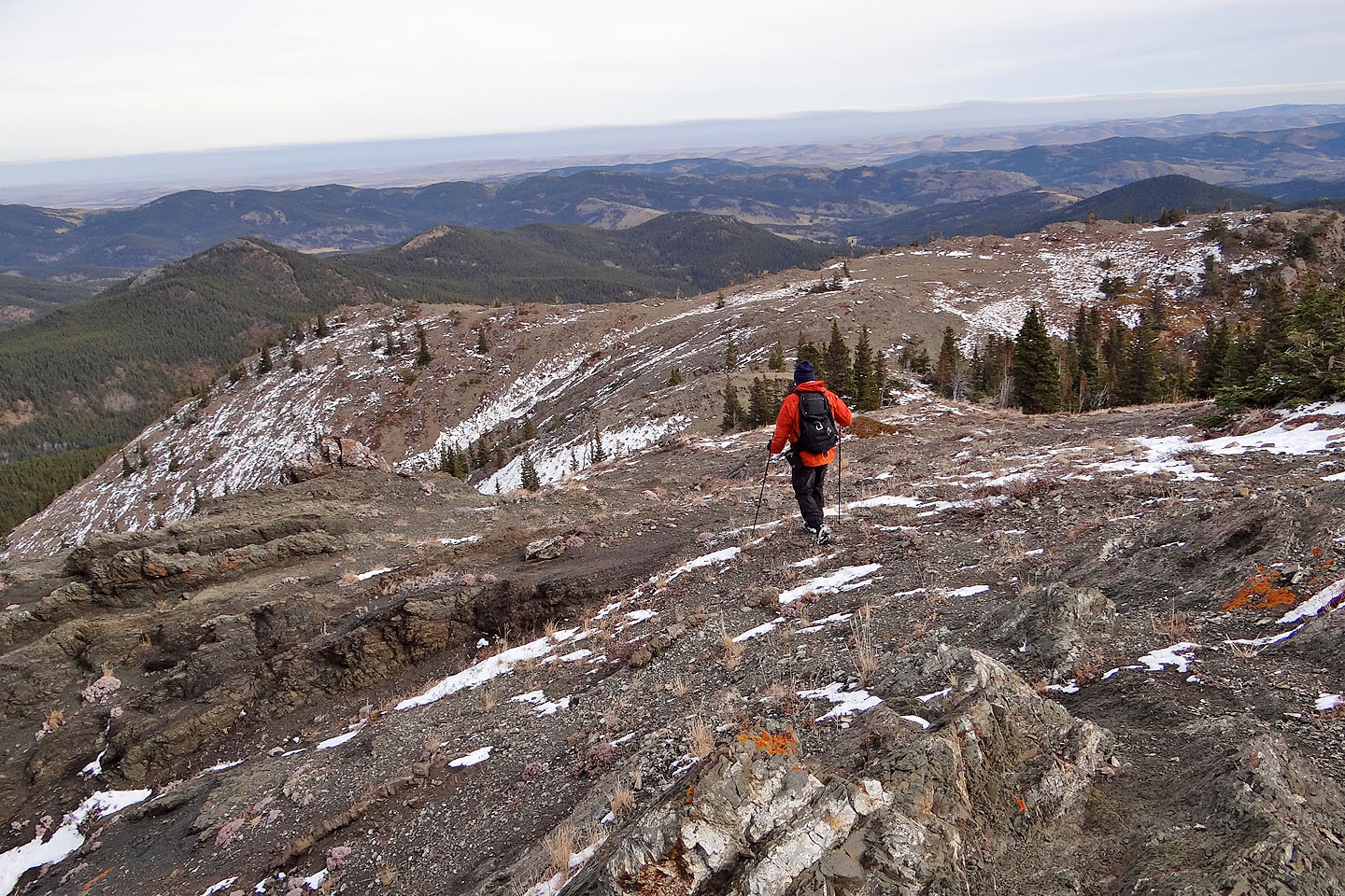
Because of cliffs and trees high at the end of the ridge, we traversed low before heading to the crest. Here the ridge was open to the sky for a time before the trees closed in. Just before the summit, the ridge threw in some steep rocks among the trees, so we had to search a bit for a way to the top.
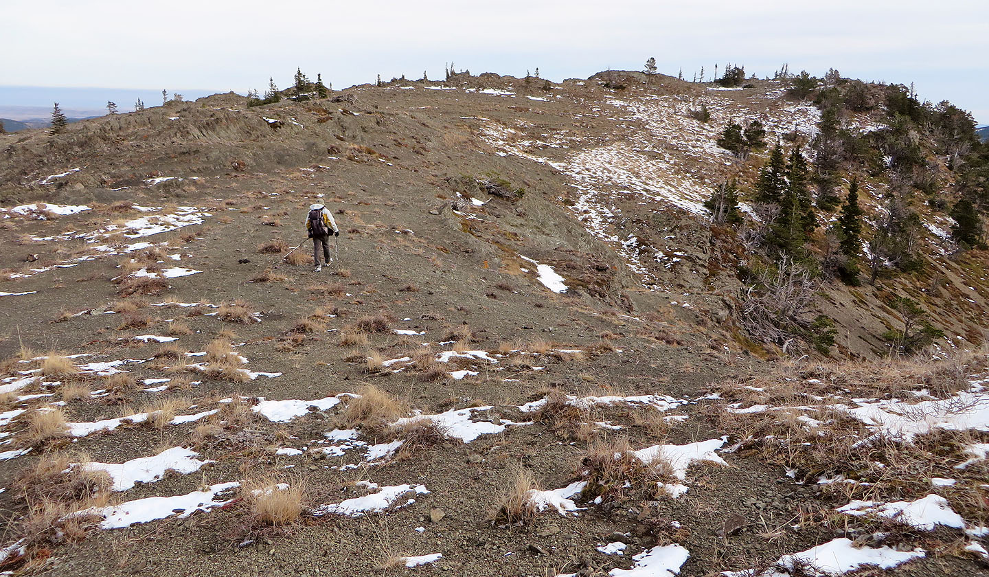
After the summit, the ridge stretches almost flat for 500 m. Being treeless we could see all around us, including the plateau on the east side that was our next destination, part of our descent route. Because of the broad map contours, I had expected an easy hike down a side ridge to the plateau, but a wall of tight, little evergreens had something to say about that.
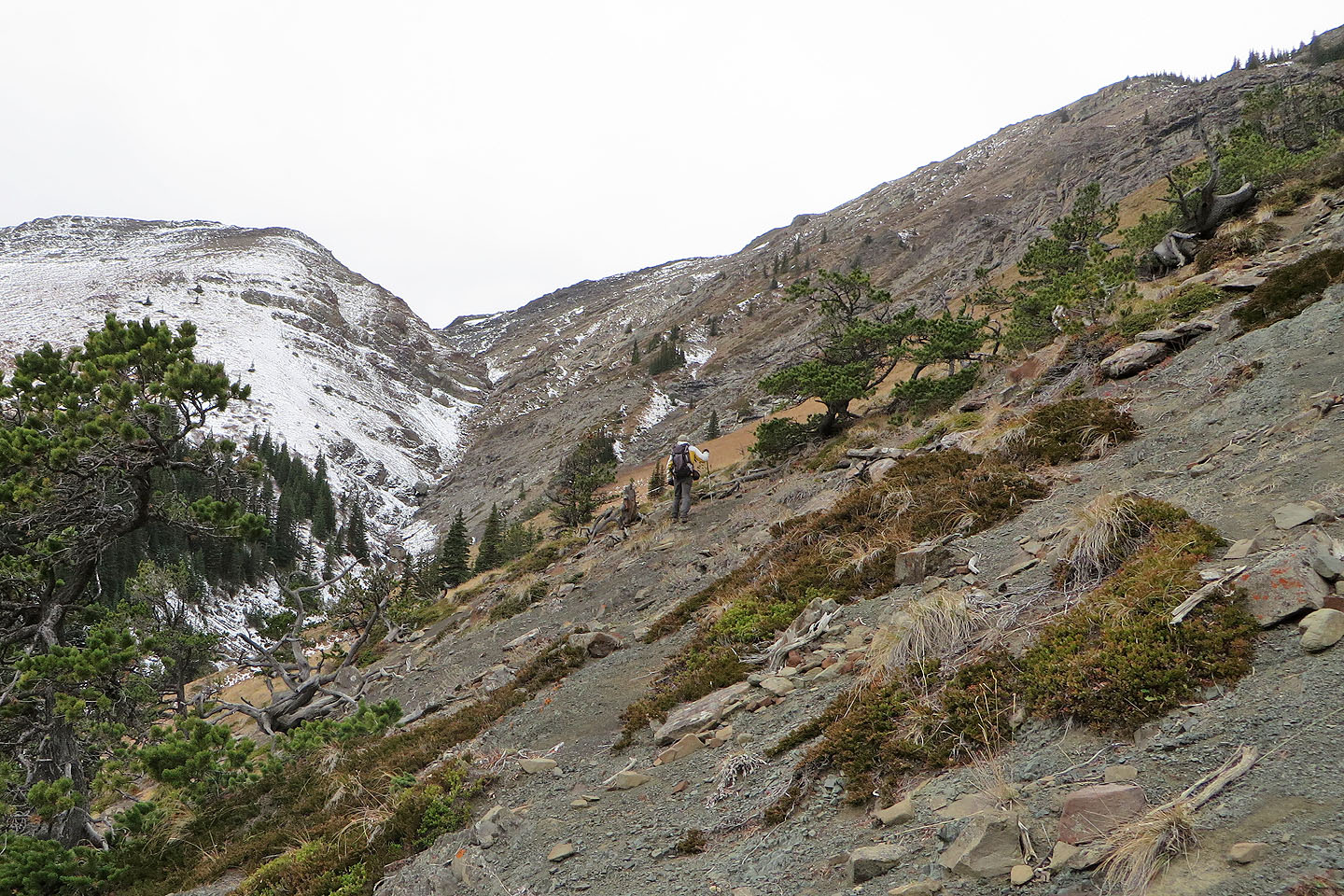
We continued north along the summit ridge and looked for a break in the trees where we could reach the side ridge. But when we found a break we didn't like what we saw. The slope dropped so sharply we couldn't see over the edge from where we were, but obviously the steep, snow-covered grassy slope wouldn't hold our boots well. And if that wasn't enough to give us pause, we could see cliffs beyond that. The three of us stood there pondering if we should even bother going to the edge to take a closer look. Then we suddenly realized we were standing on a sheep trail hidden in snow, a trail that headed where we wished to go!
The trail not only angled easily down the grassy slope but also neatly cut through the cliffs. Then all that was between us and the plateau was a short cliff band that Sonny scrambled down, and Dinah and I walked around. After crossing a saddle that connects the plateau to Iron Lakes Ridge, we stopped for lunch.
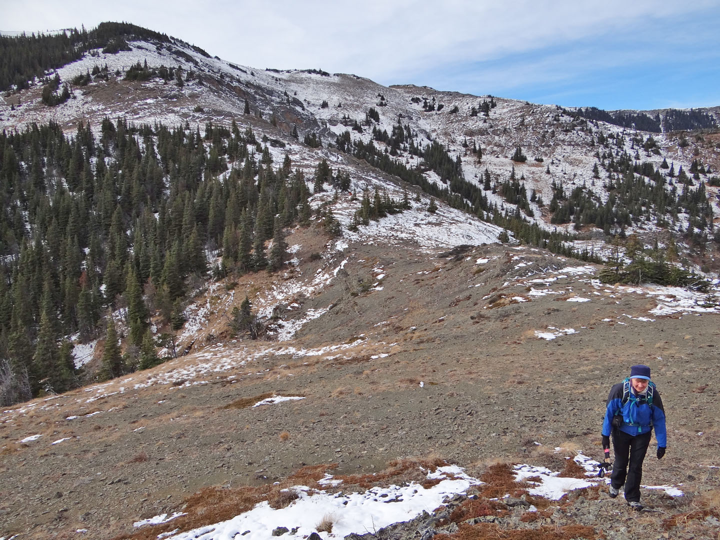
After lunch on the plateau, we returned to the saddle and picked up a trail that traversed grassy slopes and led to the treed west ridge. After some light bushwhacking, we hit a creek and soon found the Iron Lakes trail. We followed it a short distance to the meadow. From there we faced the climb back up to Bear Pond. From the pond, we turned to take a parting look at the ridge we enjoyed ascending just hours ago and made our way back to the parking lot.
KML and GPX Tracks
Sonny's Trip Report
Iron Lakes Ridge seen from Bear Pond (mouse over for a close-up). We ascended the ridge but descended
the knob on the right, actually a plateau that barely rises above the saddle.
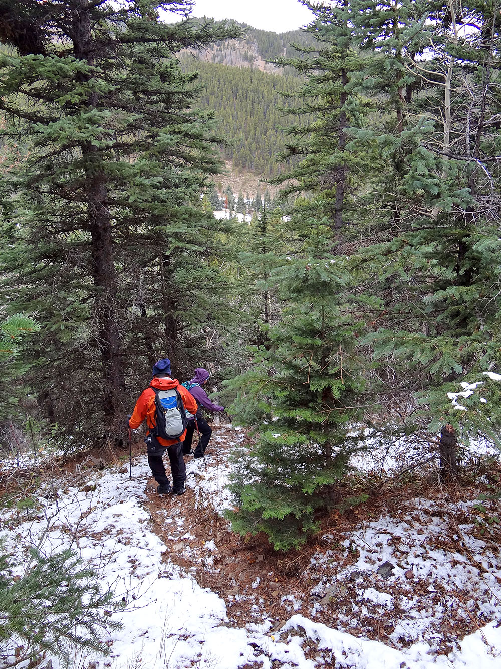
Descending the trail to the meadow
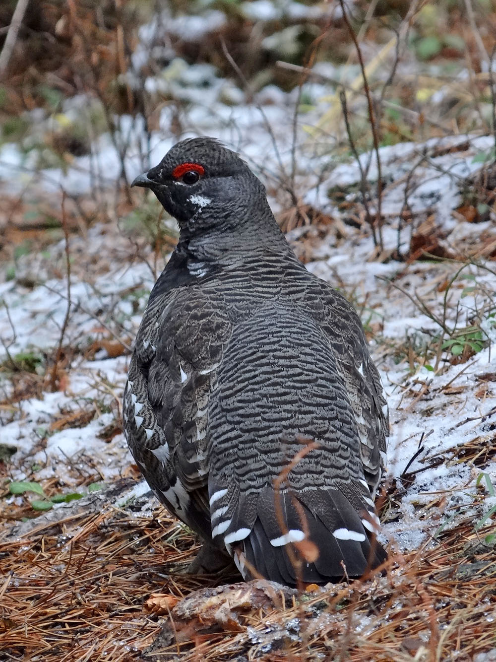
A ptarmigan sits on the trail to Iron Lakes
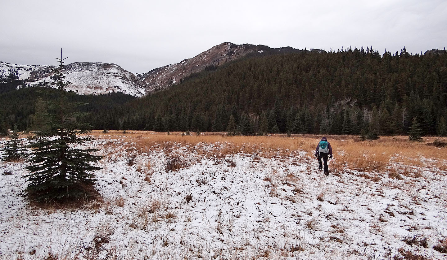
Heading to the ridge from the meadow (mouse over to look back)
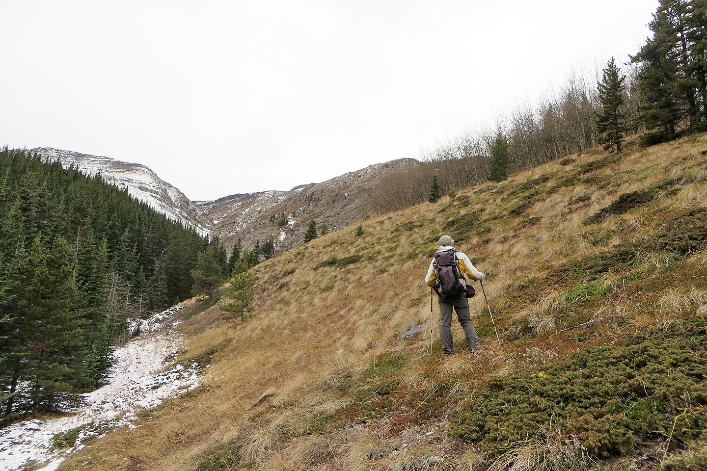
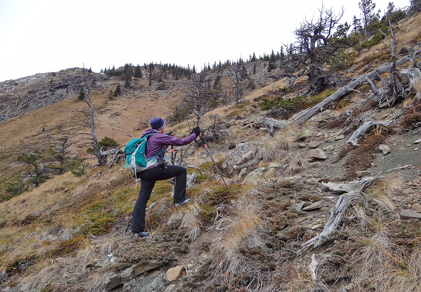
Starting up the ridge
Traversing the slopes on a sheep track
Almost at the end of the trail
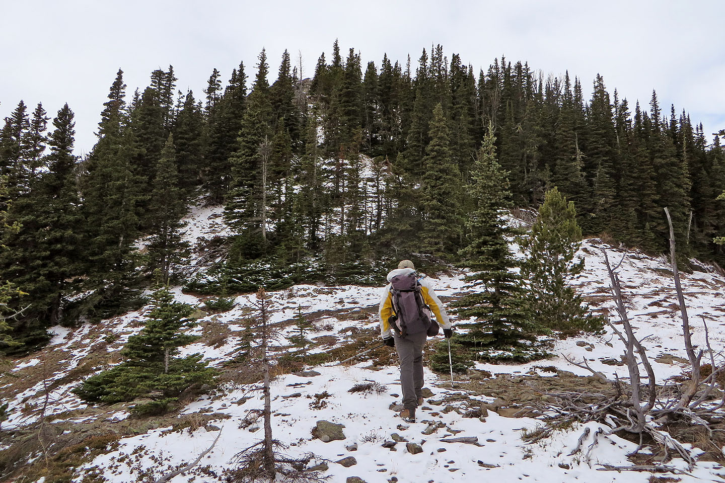
After the trail ends, we made our way up to the ridge
On the ridge: left on the skyline is Johnson Creek Ridge. Behind us is Bear Pond
(mouse over).
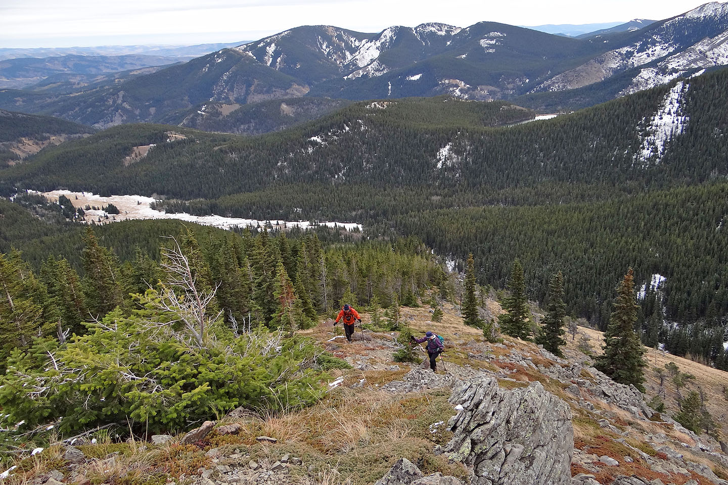
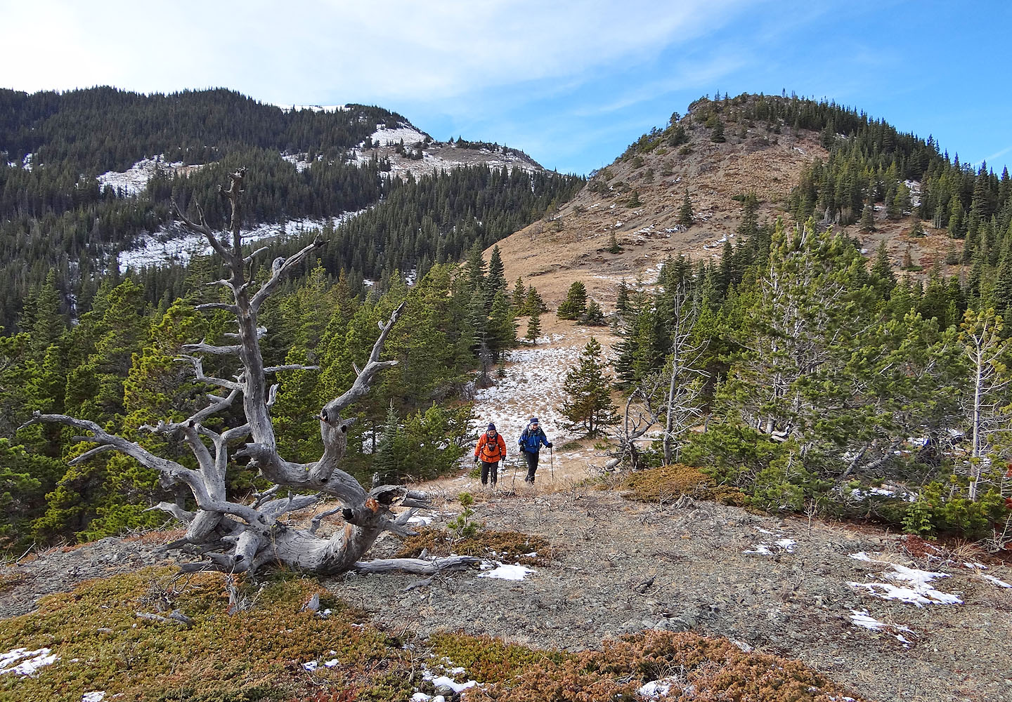
Heading to a false summit
Another false summit
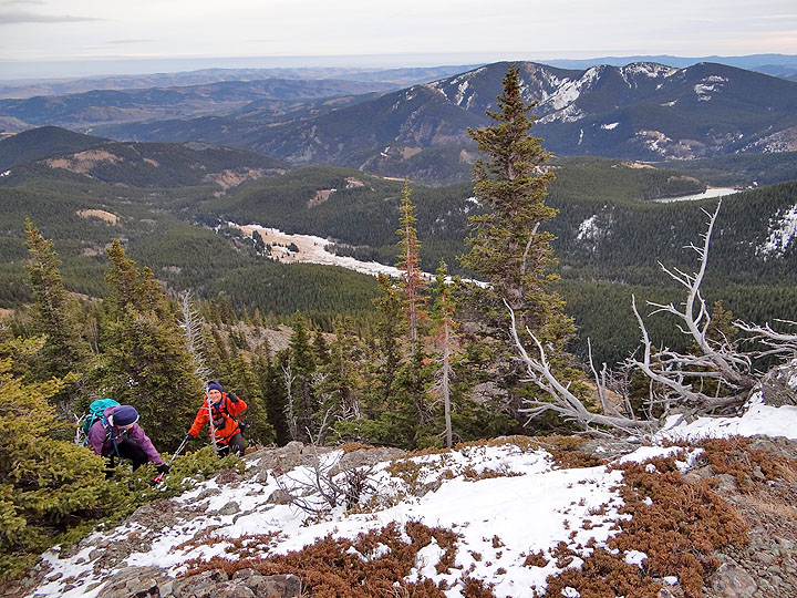
The grade steepens near the top of Iron Lakes Ridge
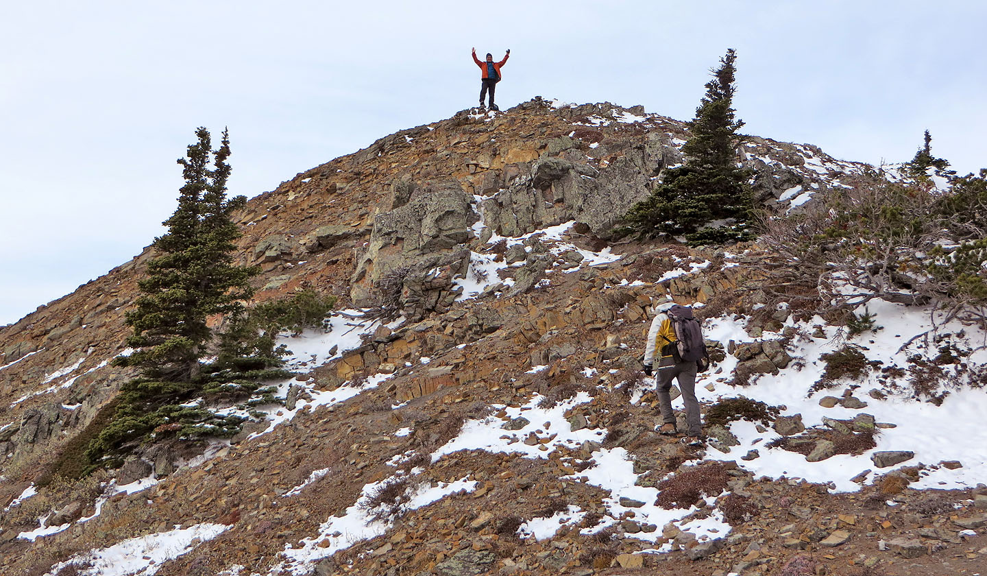
You guessed it: the true summit
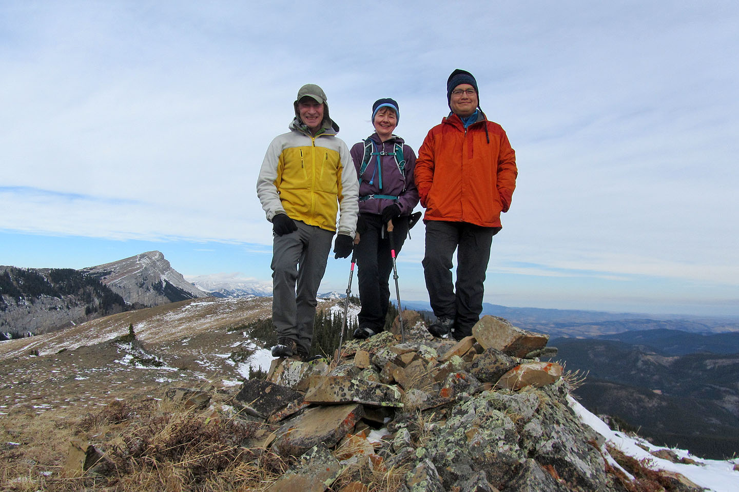
On top of Iron Lakes Ridge
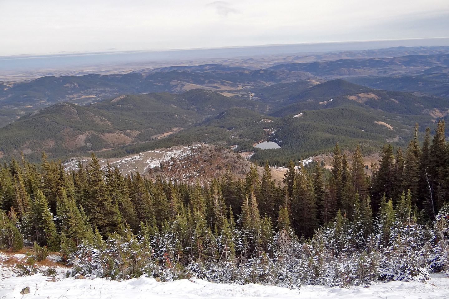
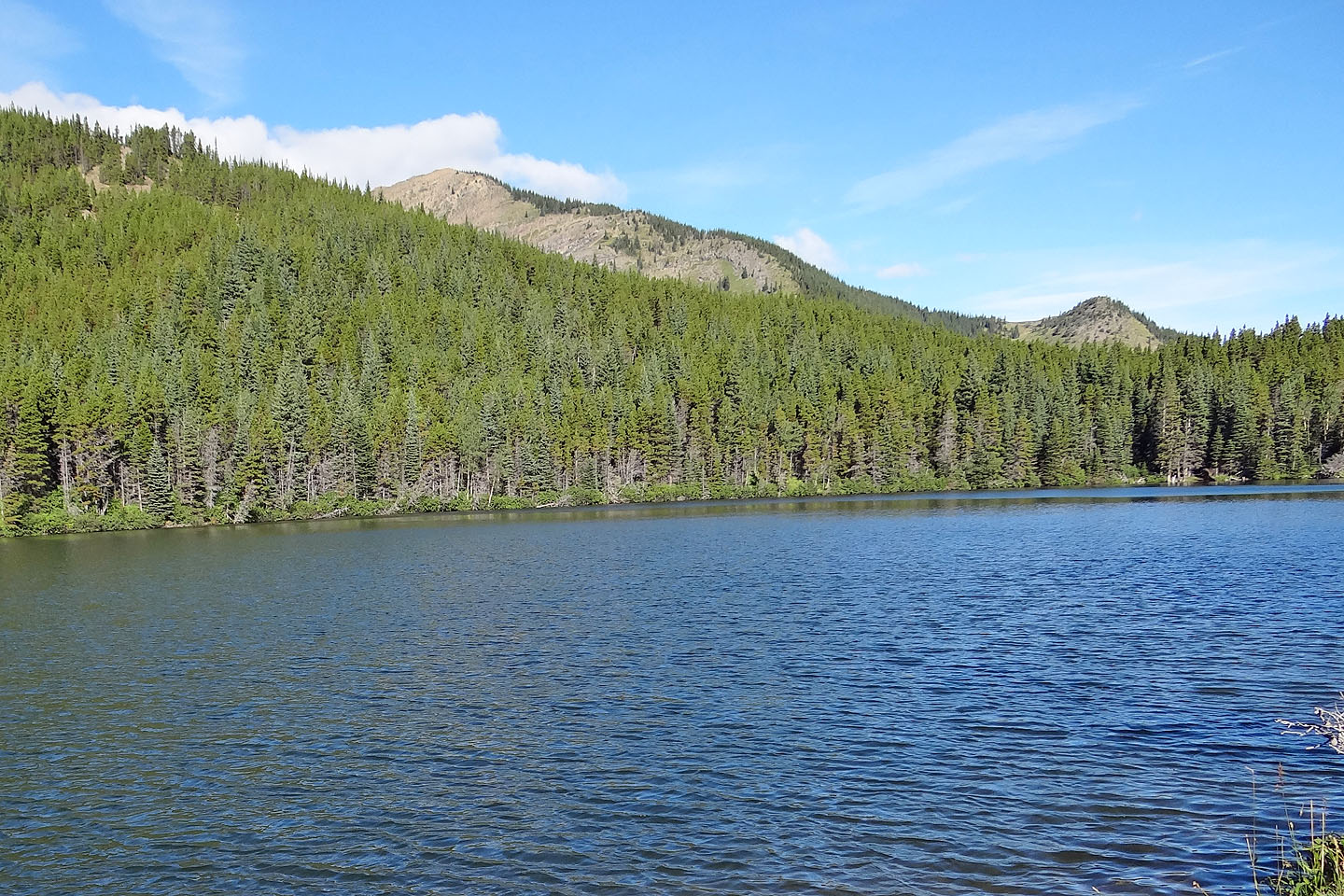
Looking down at Iron Lakes and the plateau
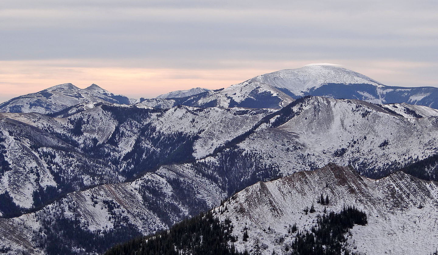
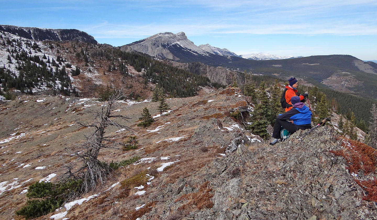
On the south skyline: Saddle Mountain, Sheep Mountain, and Mount Livingstone. Windy Peak is in there too.
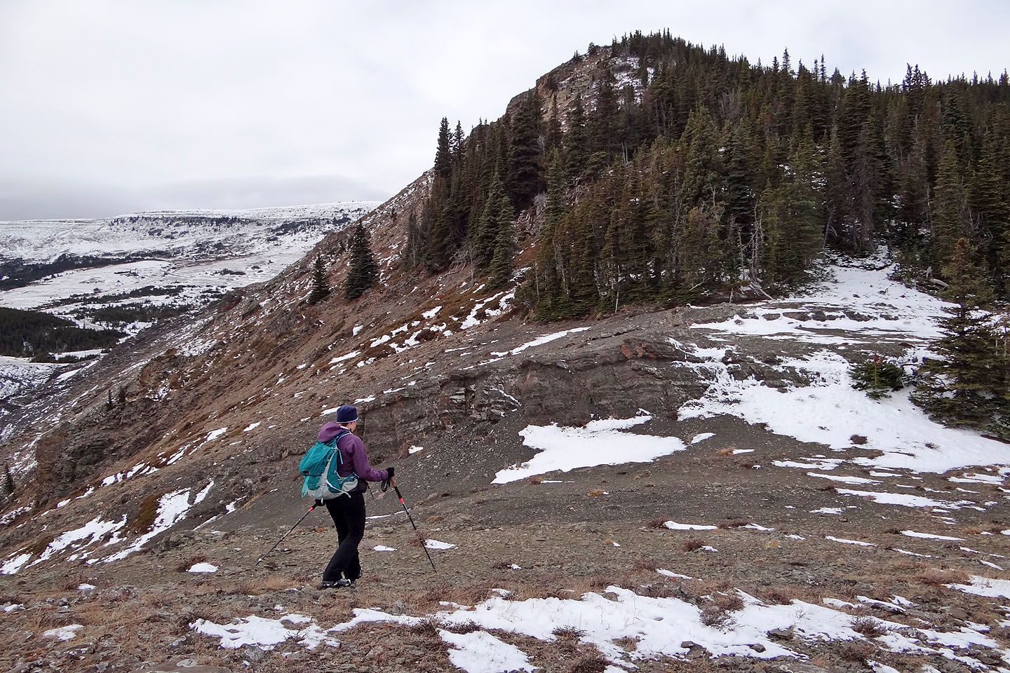
Heading to the north end of the summit ridge. Left are Iron Creek Mountain and Sentinel Peak (mouse over)
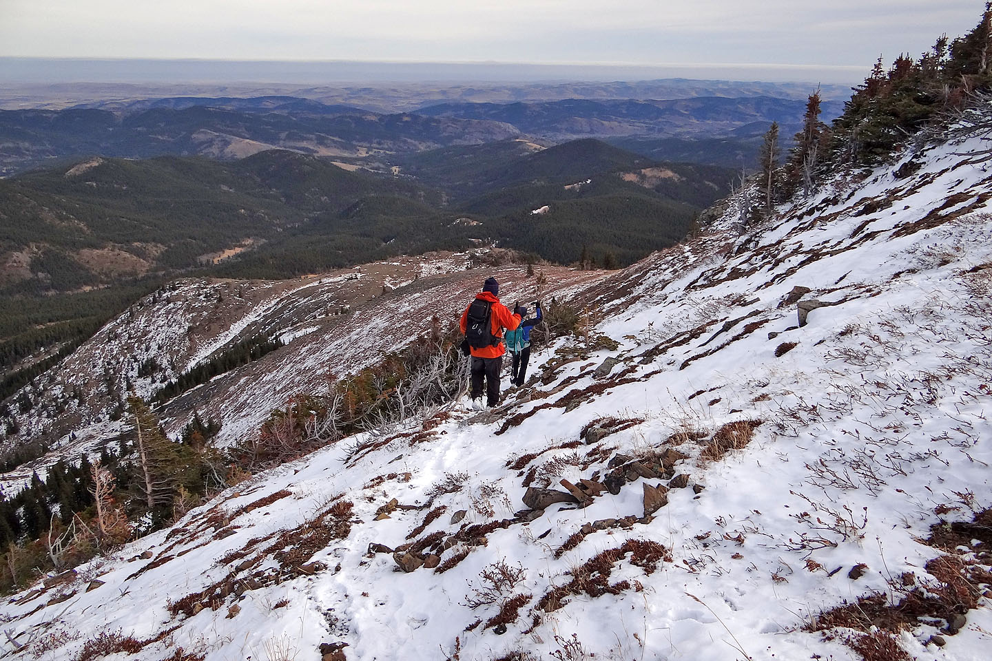
Following a sheep track down the east slopes
The trail cuts through a cliff band
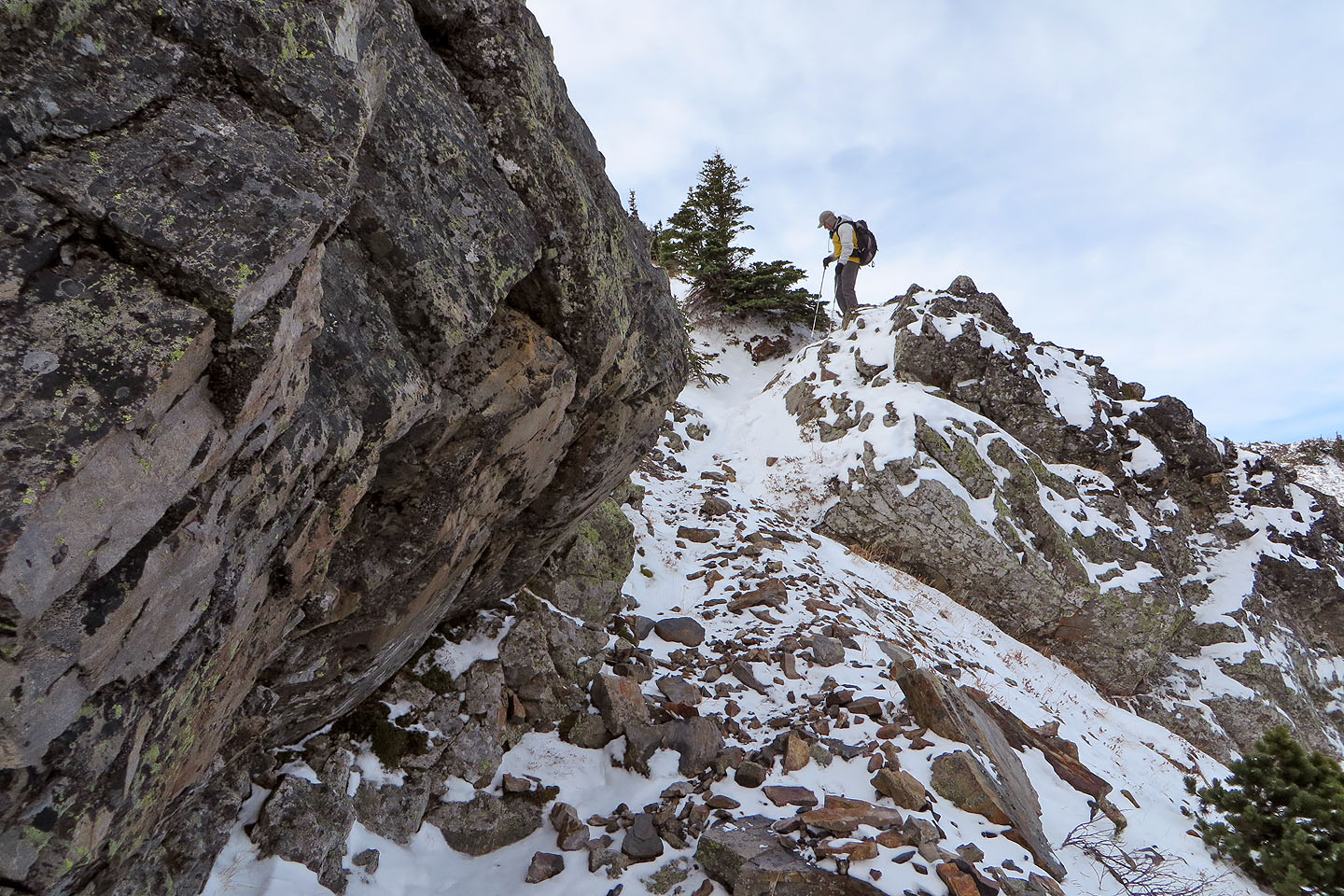
We'll soon leave the trail and make our way to the plateau
After getting by a short cliff band, the way to the plateau is clear
The plateau
Looking back from the plateau
Lunch on the plateau
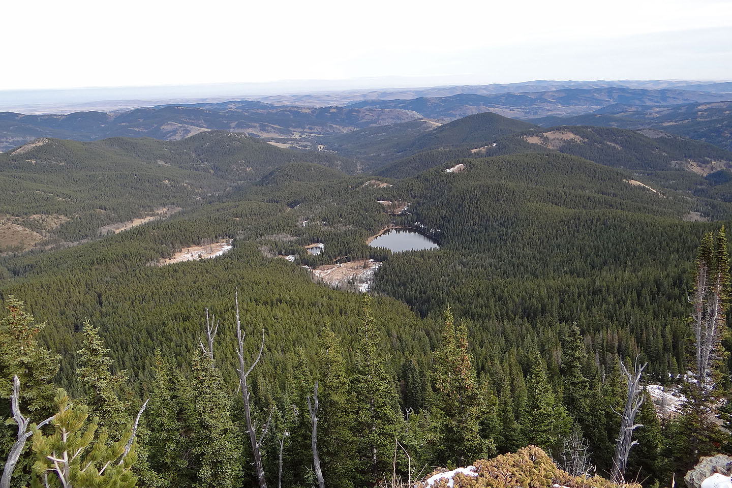
Iron Lakes below (mouse over for a closer look)
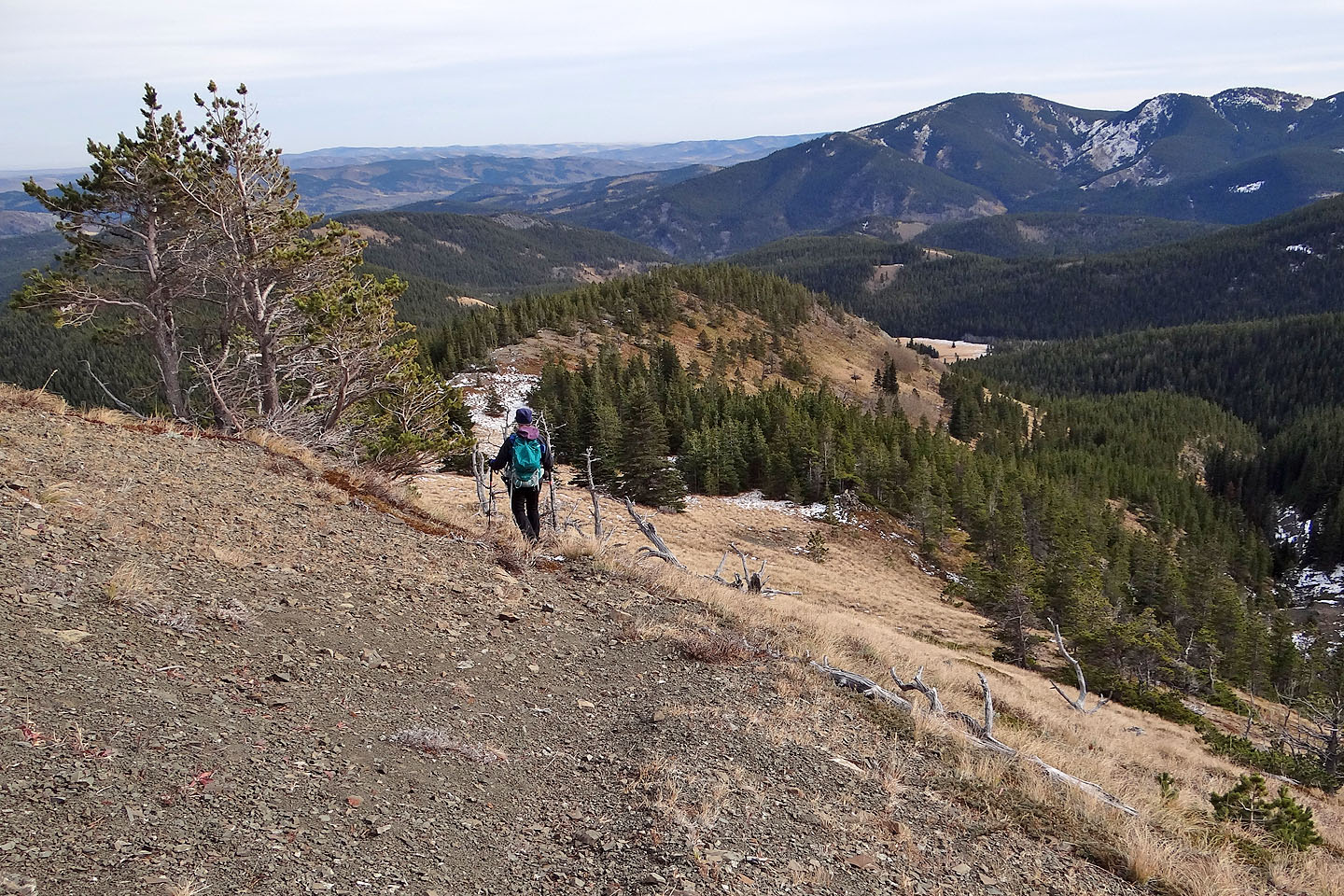
From the saddle we followed a trail and then continued along the ridge ahead
Looking back
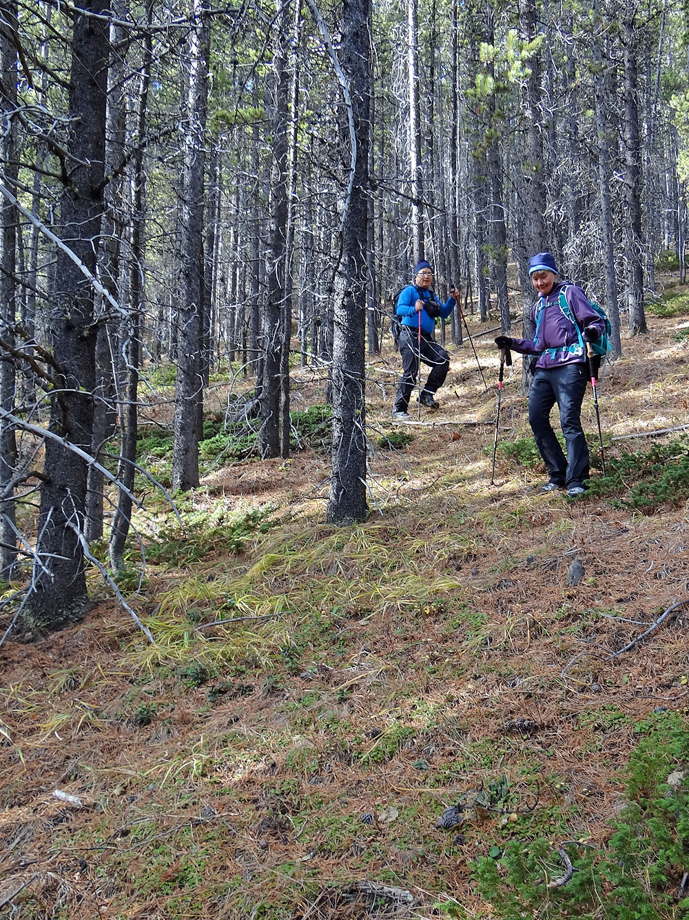
Descending through the trees
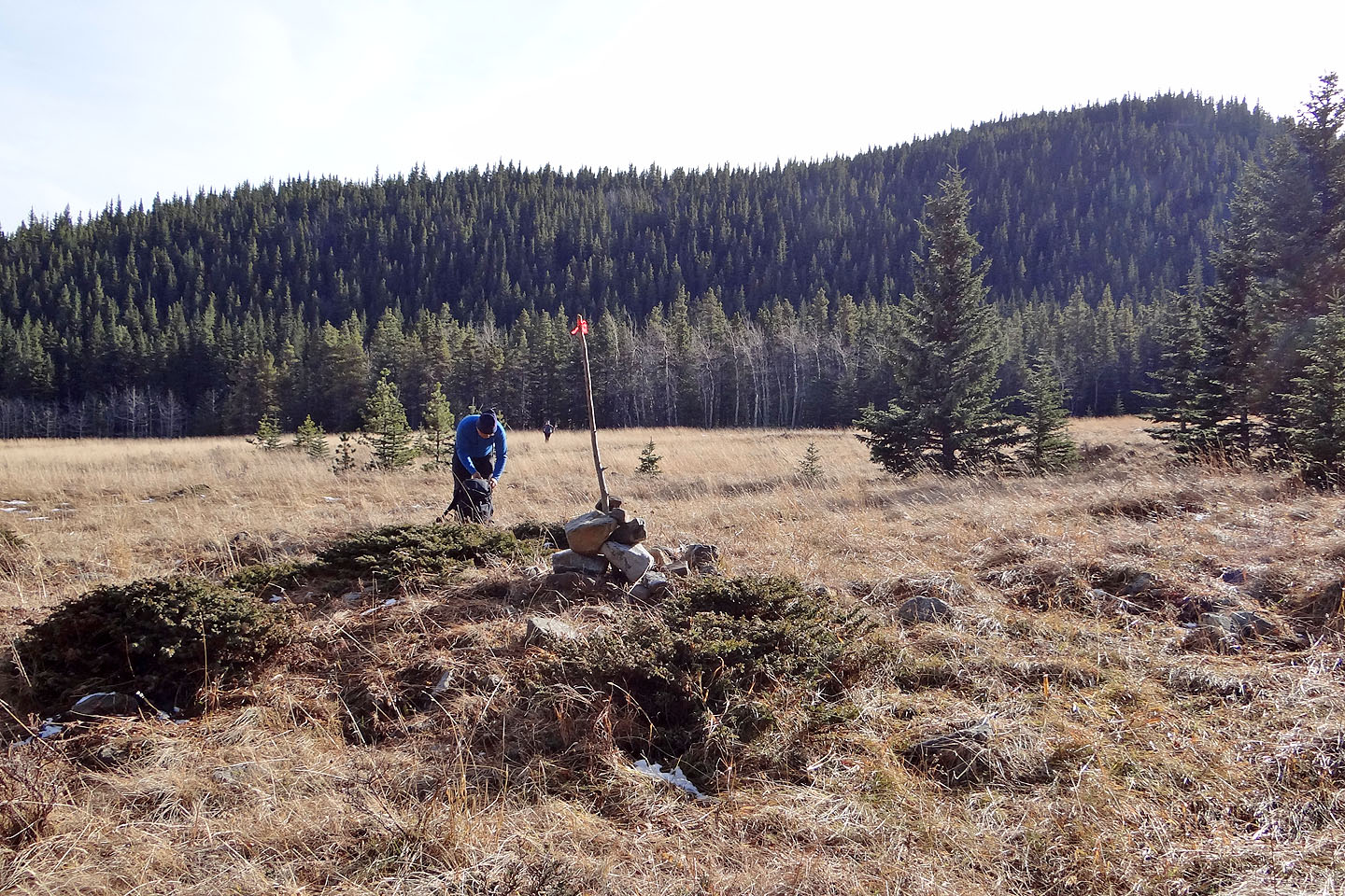
Back at the meadow, we faced a 120-metre hike back up the ridge ahead us. Before crossing
the meadow, we planted a pole so that the trail to Iron Lakes is easy to find.
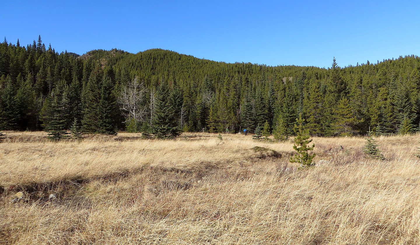
Dinah's view as she waits on the other side of the meadow
82 J/1 Langford Creek