bobspirko.ca | Home | Canada Trips | US Trips | Hiking | Snowshoeing | MAP | About

Sentinel Peak
Kananaskis, Alberta
May 31, 2008
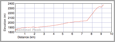
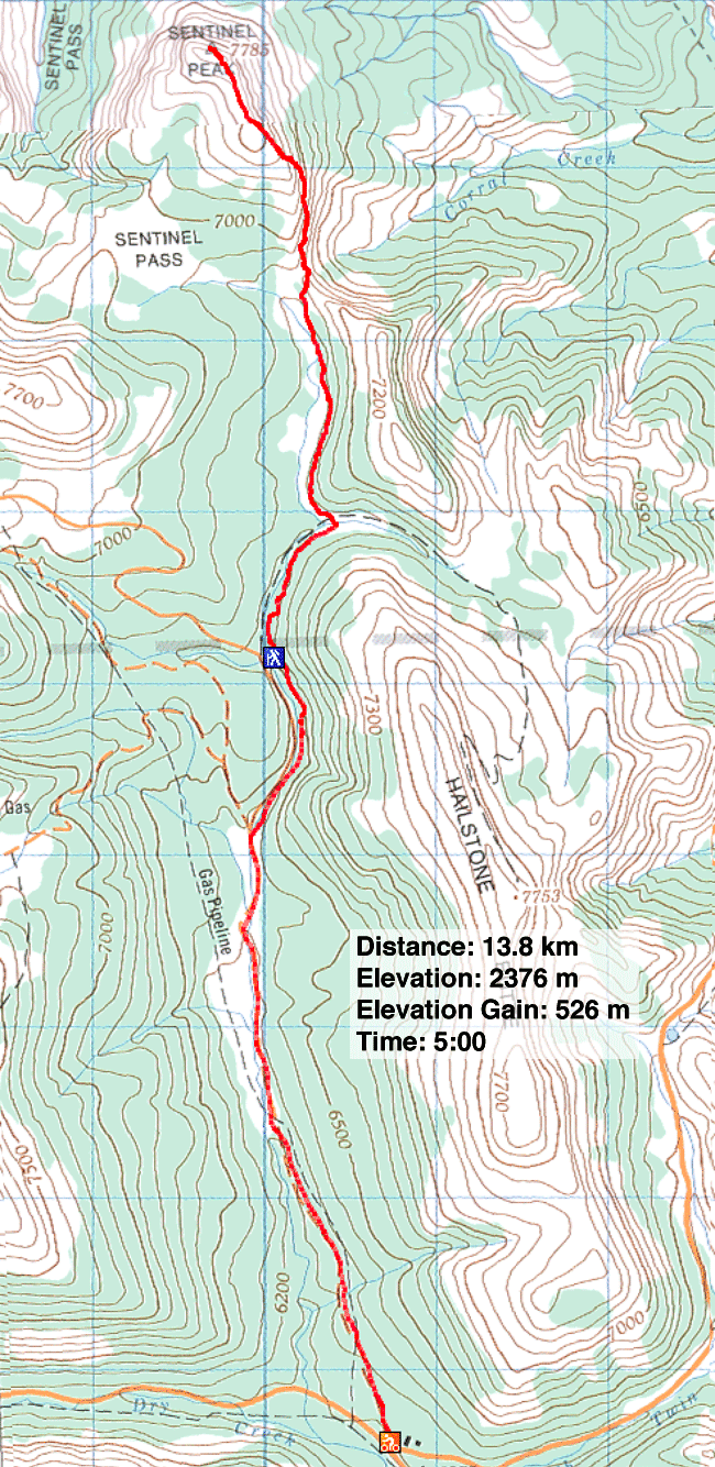
Distance: 18.3 km (11.4 mi)
Cumulative Elevation Gain: 700 m (2297 ft)
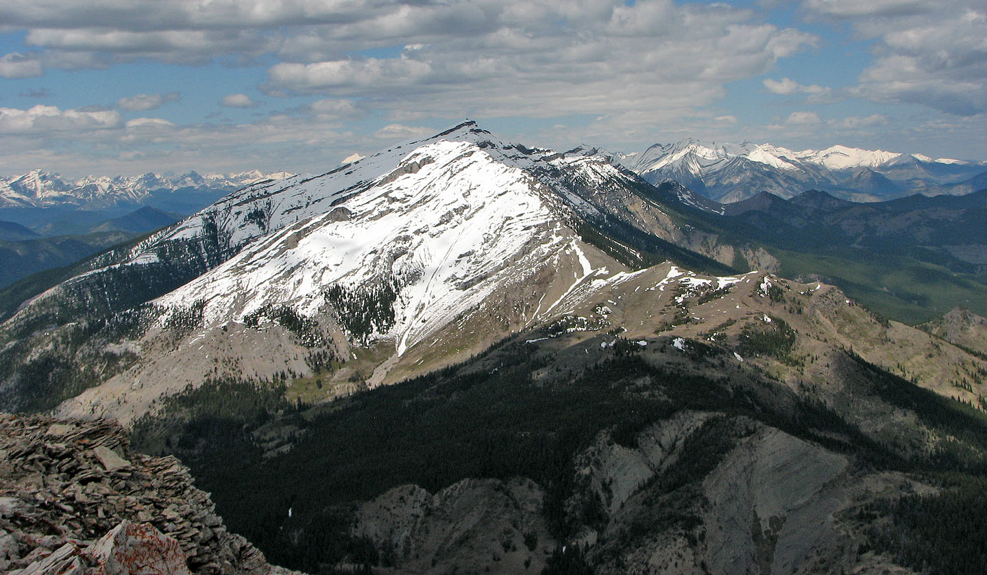
Although a minor ascent, Sentinel Peak offered surprisingly pleasant views, and the snow cover made it more eye-catching.
Several days of precipitation left the mountains under snow, so Dinah and I decided to ascend Sentinel Peak. We biked 5 km up the gravel road before turning onto the Hailstone Butte fire road. Since this road was rough and muddy, at least at the start, we left our bikes and hike to the turn-off.
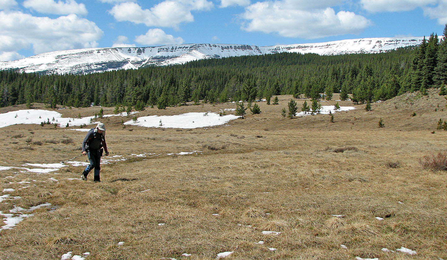
An intermittent trail led to a broad, grassy valley. I expected the valley to be marshy, but despite the snow patches, it was relatively dry. We made our way up the col and followed the ridge to the summit.
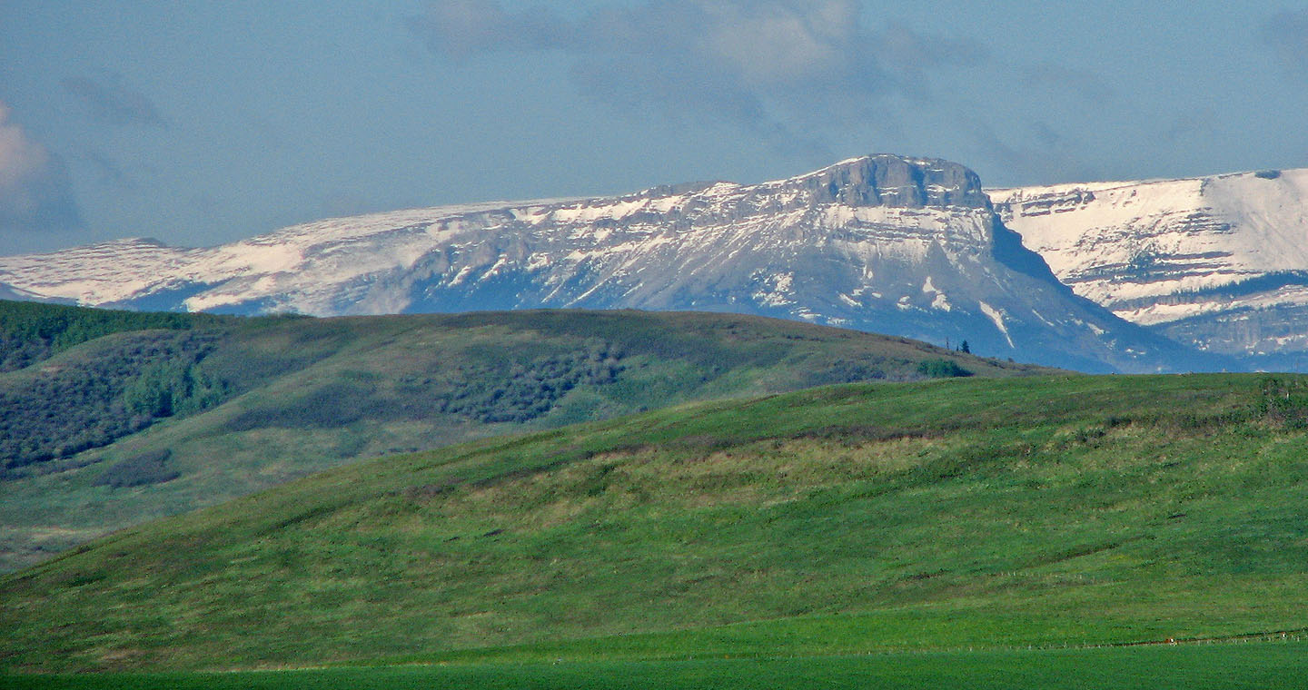
Sentinel Peak seen from Hwy. 22
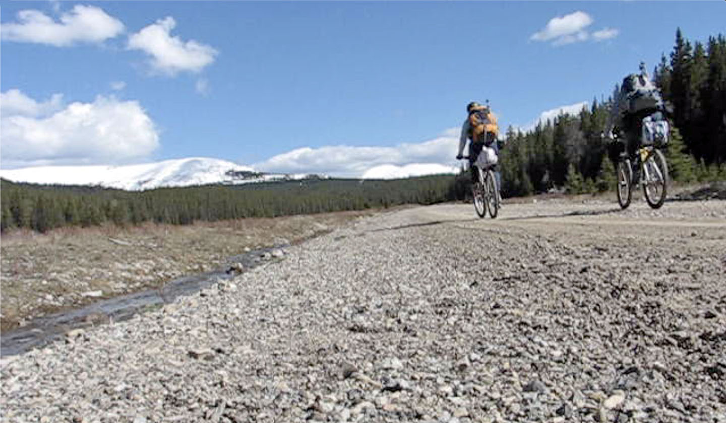
Biking up the road
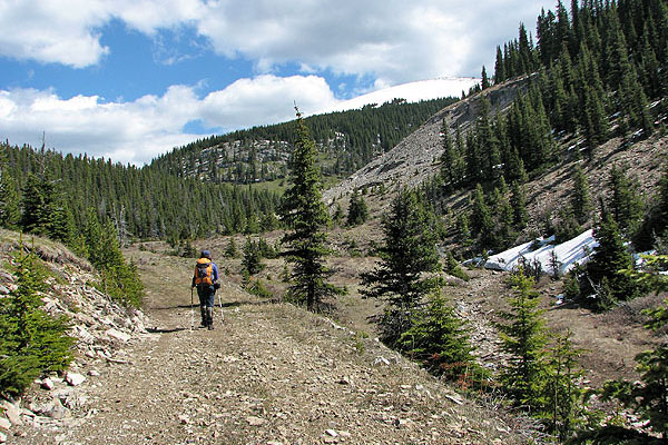
We ditched our bikes at the main road and we followed this fire road for 700 m before leaving it
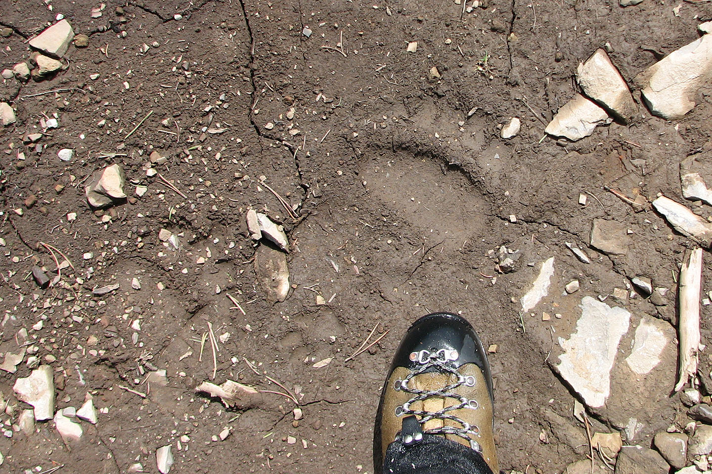
Recent bear tracks on the road
Plateau Mountain in the background
Sentinel Peak ahead
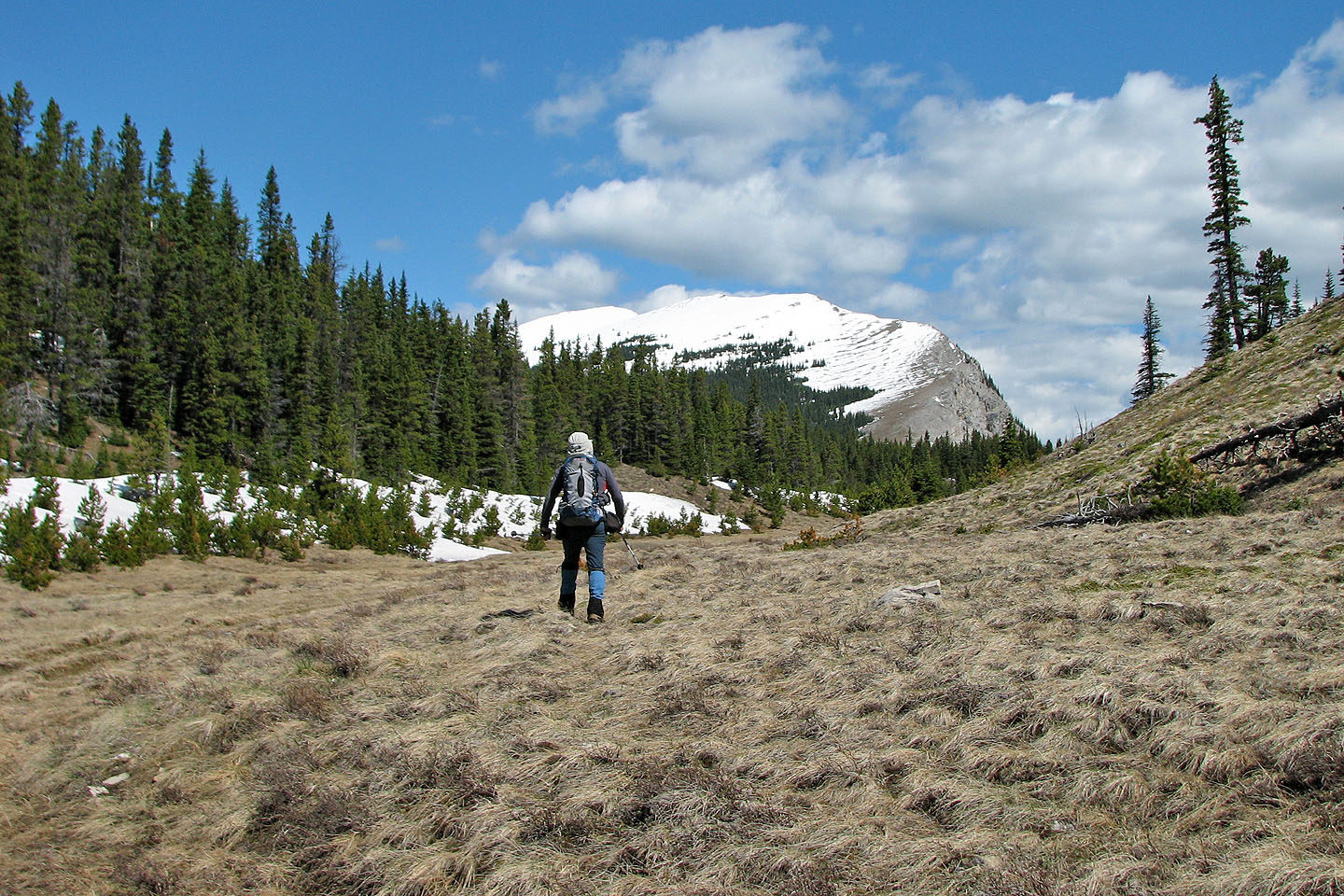
We headed to the col below the ridge
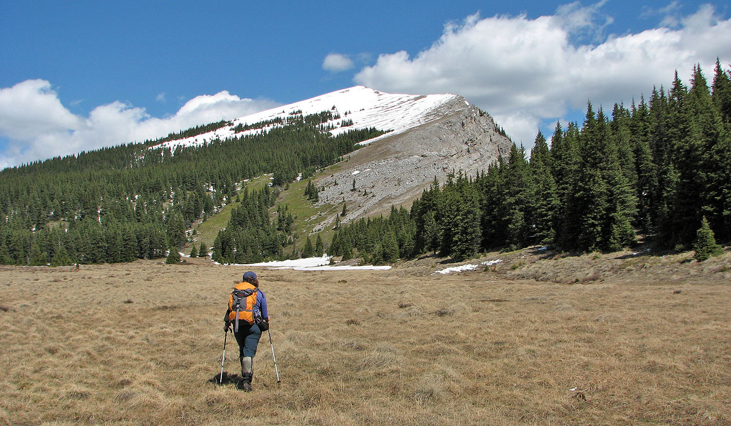
Starting up to the col
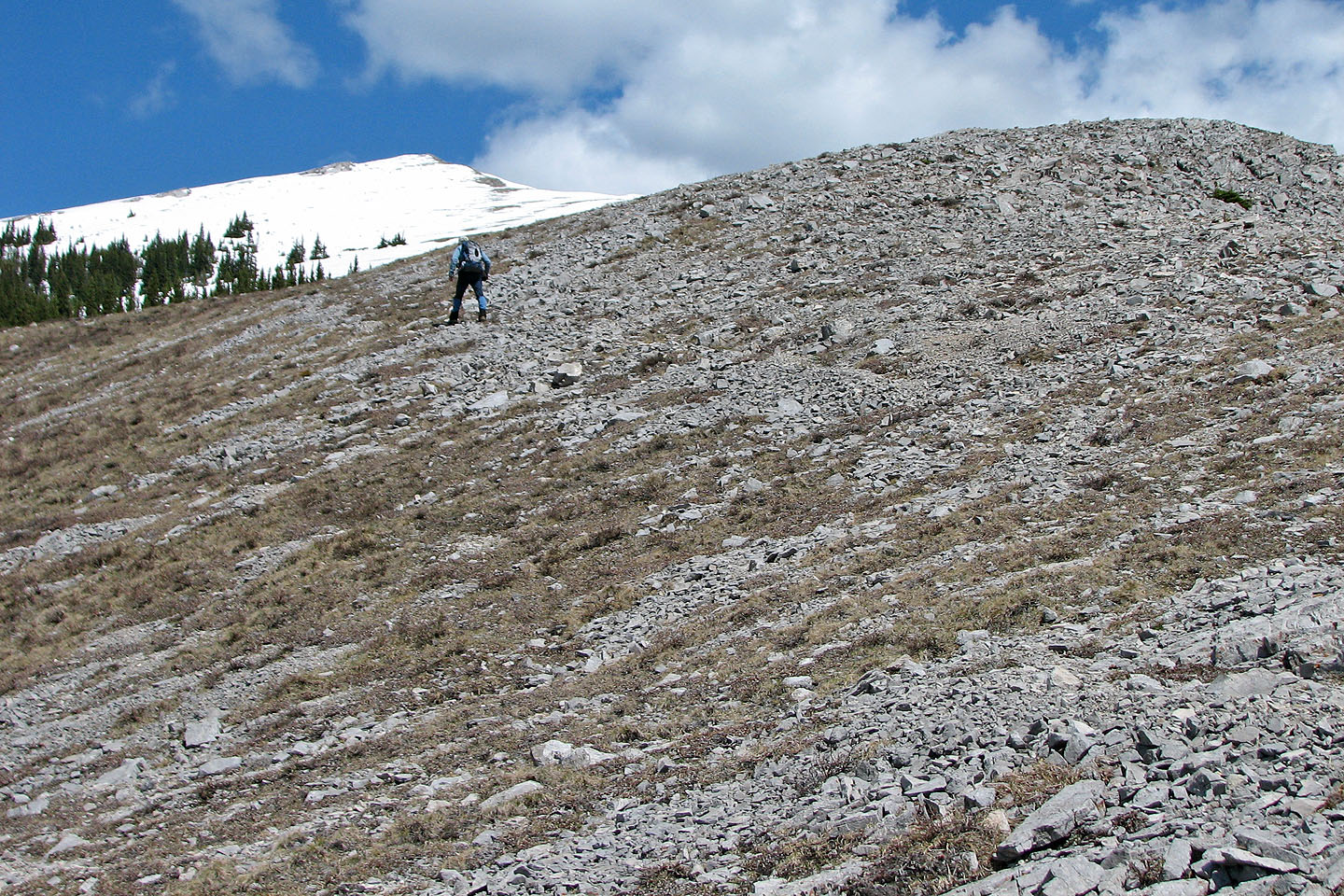
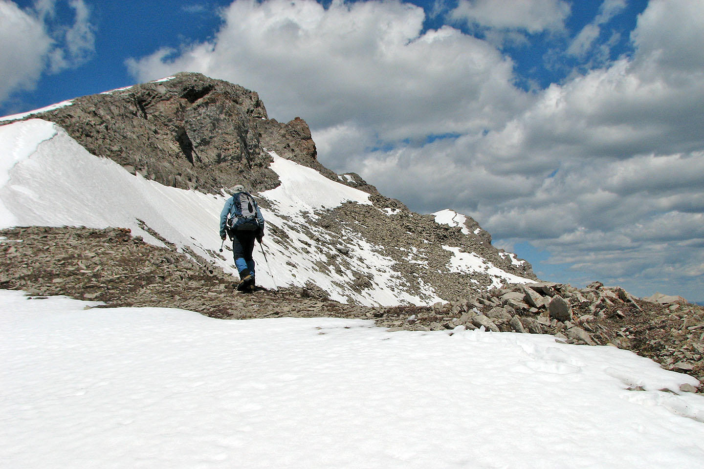
False summit ahead
Looking back
Twin Peaks and Isola Peak
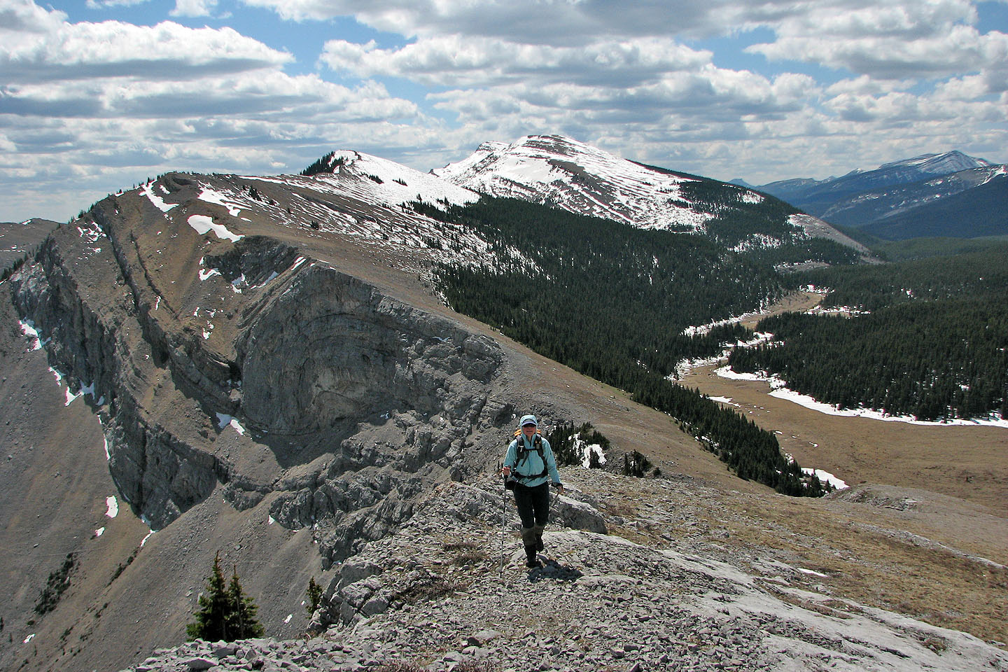
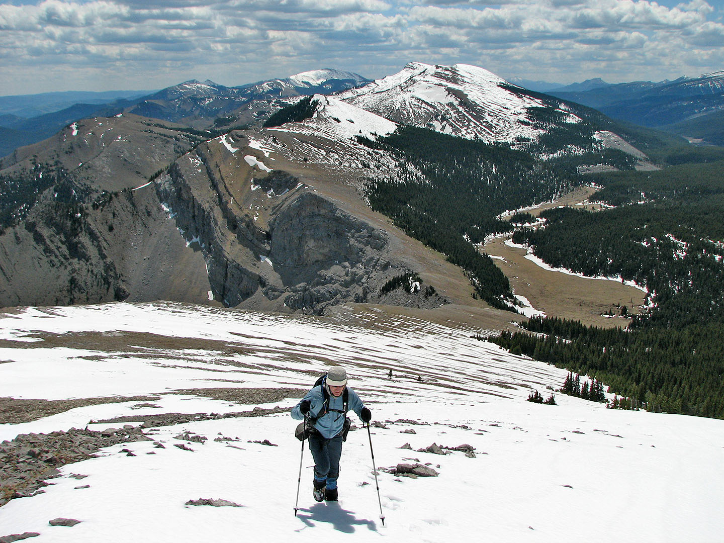
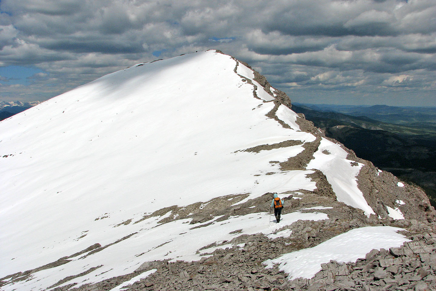
Reaching the false summit. True summit (far right) is still far off
Saddle Mountain, Mount Livingstone and Hailstone Butte on the skyline
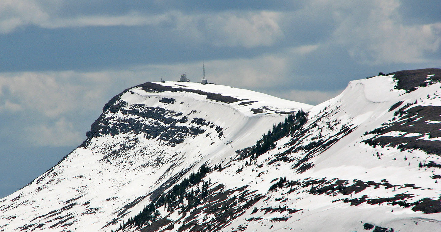
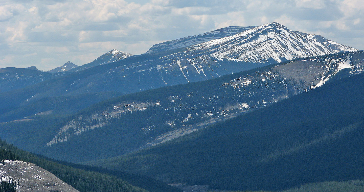
Close-up of Hailstone Butte and the lookout
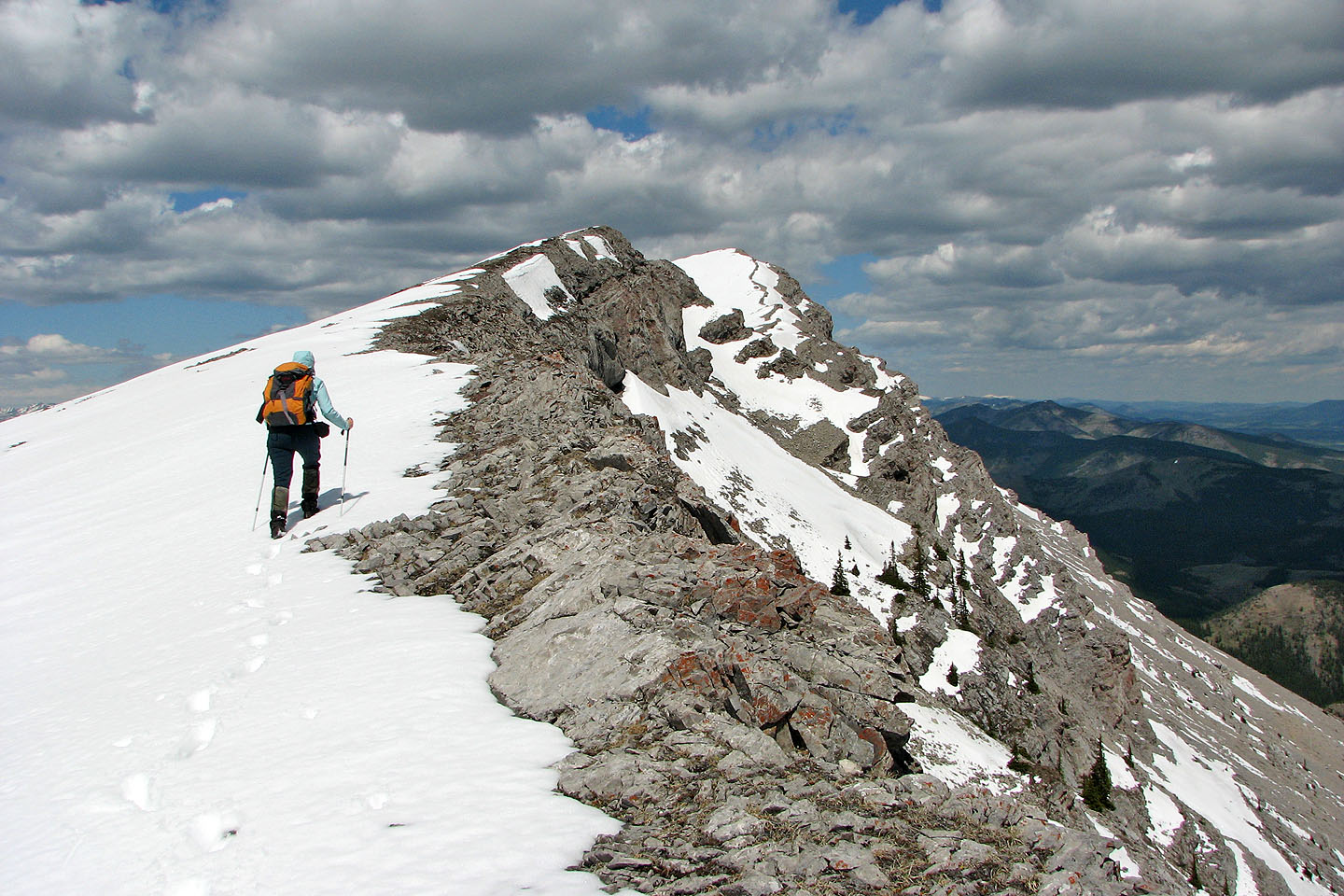
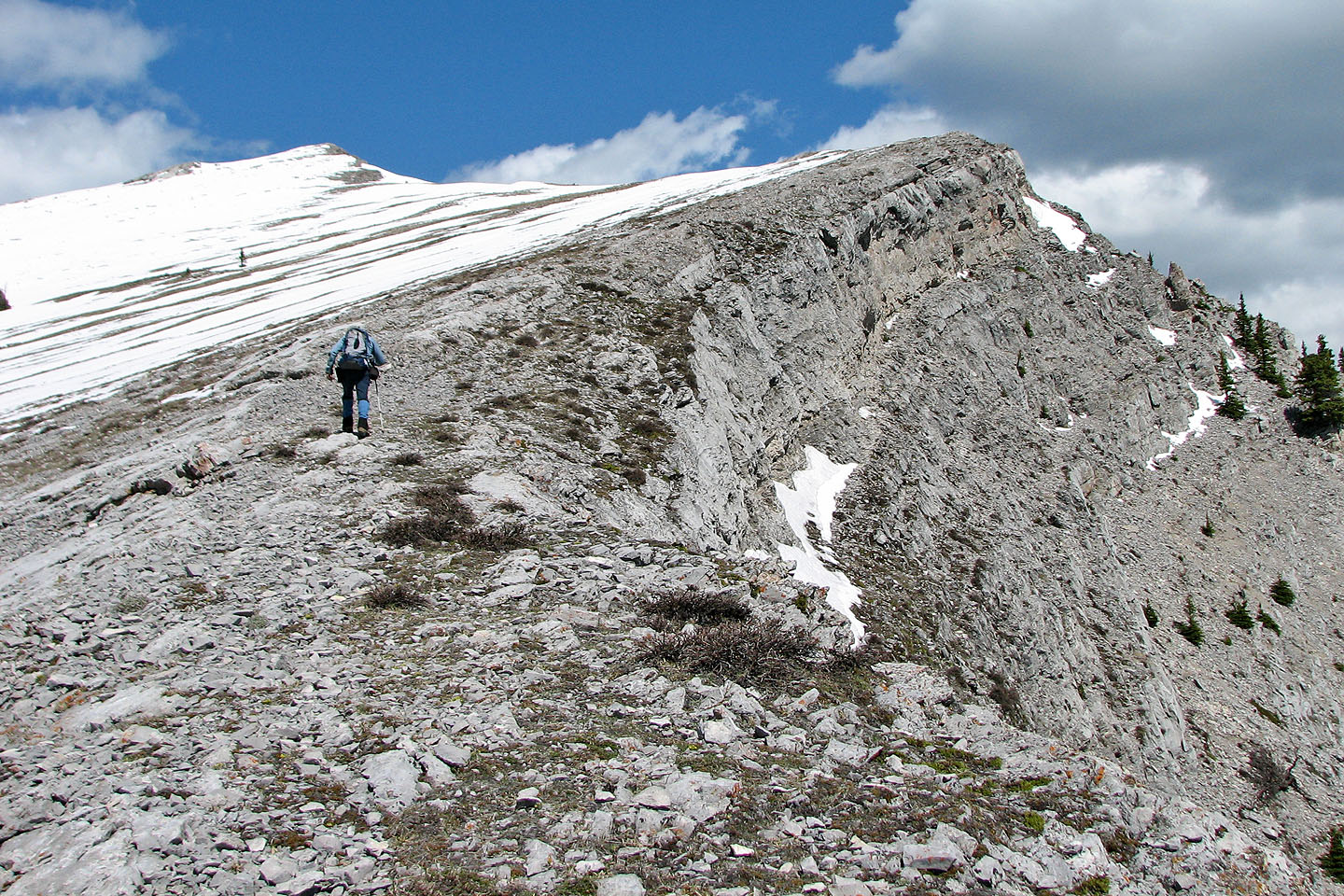
Much of the ridge was friable rock so we kept away from the edge
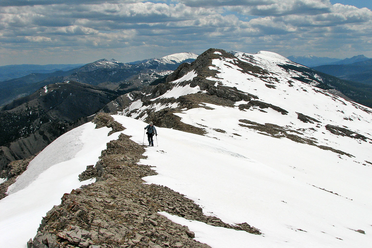
Looking back along the ridge
The summit
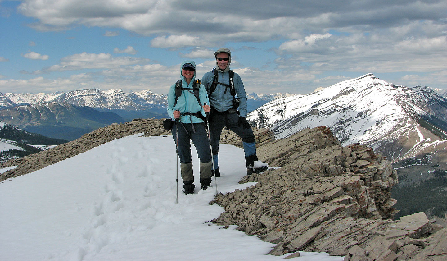
Standing on the summit
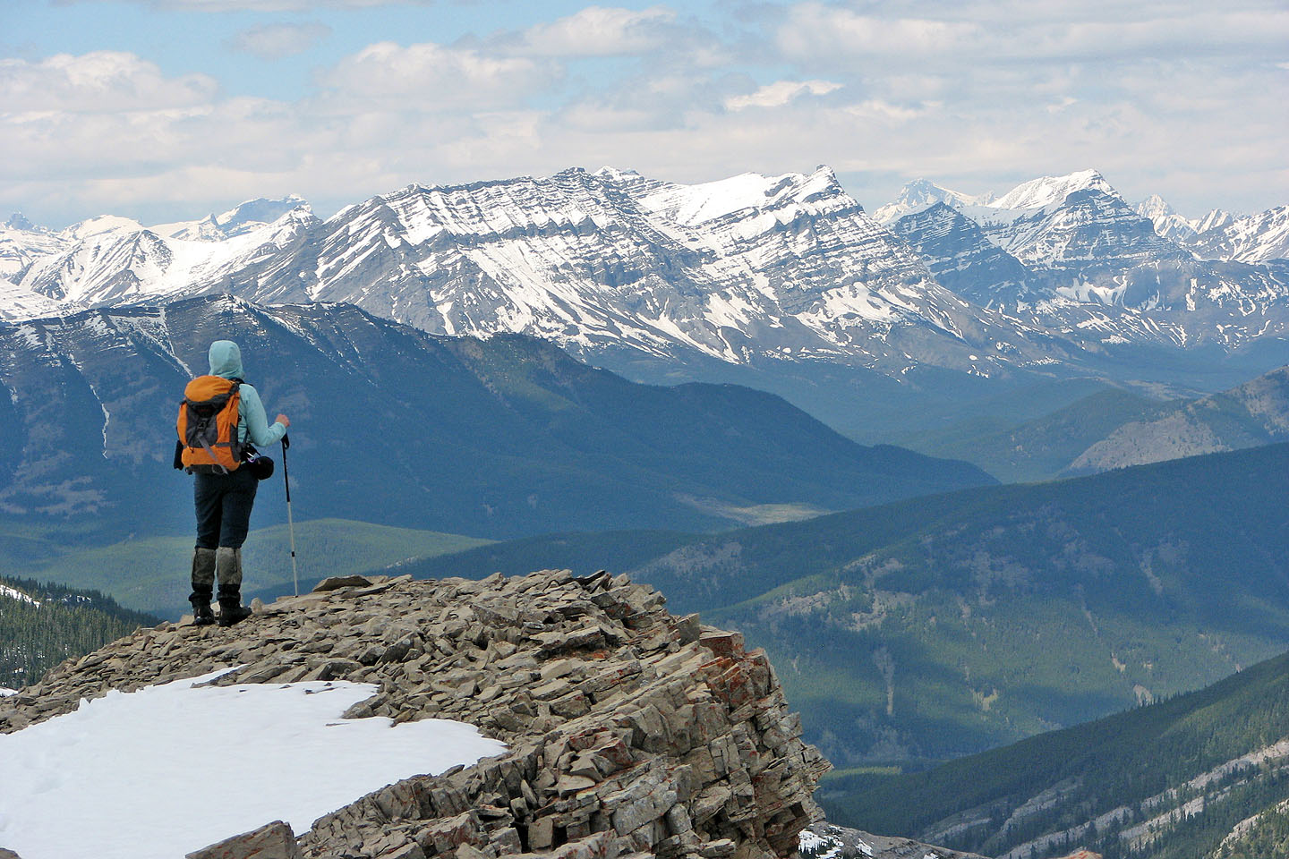
Mount Armstrong dominates the view northwest
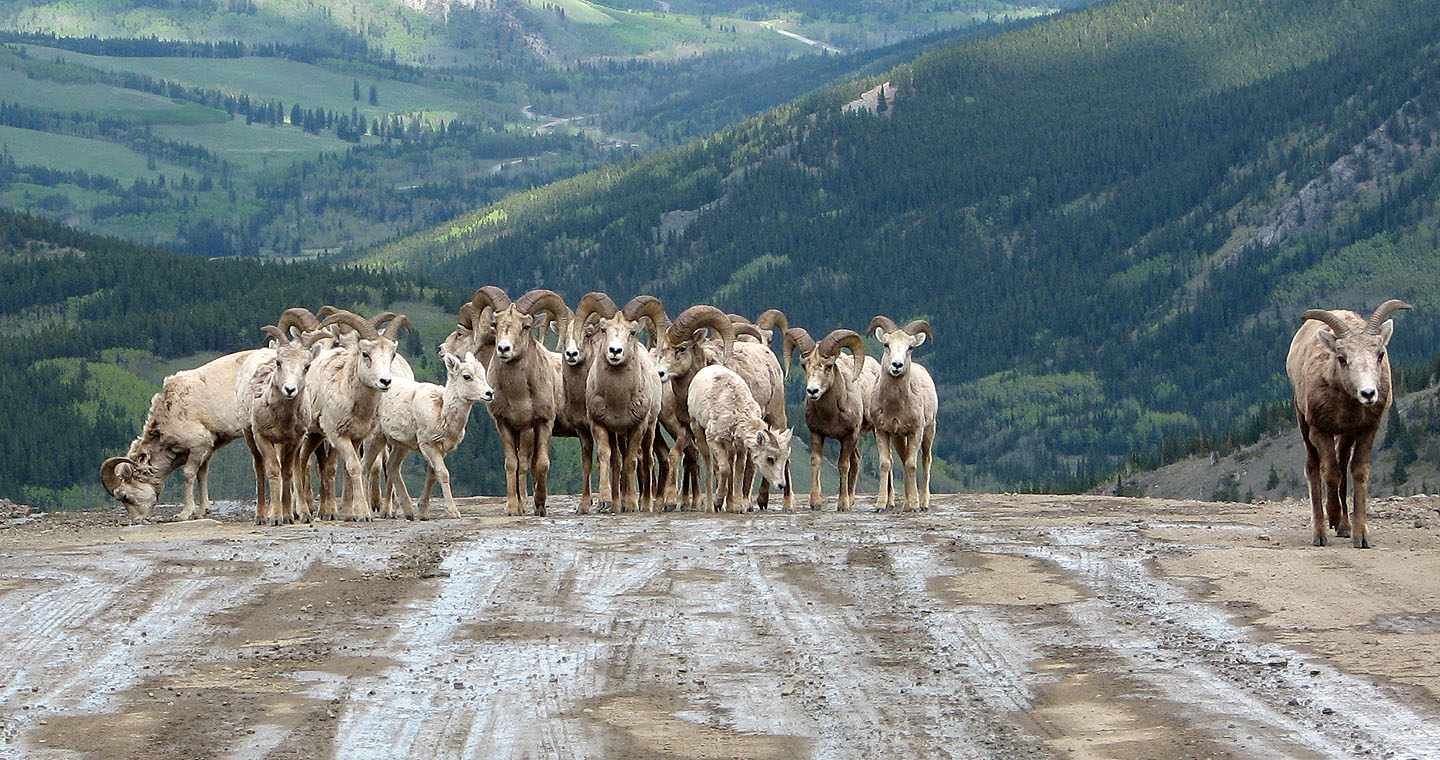
After the trip, we drove down HWY 532 and came to this road block. After we stopped, I expected the bighorn
sheep to leave the road, but they came right up and began to surround and inspect our car. Then a car came up
behind them and frightened them off.
82 J/1 Langford Creek, 82 J/8 Stimson Creek