bobspirko.ca | Home | Canada Trips | US Trips | Hiking | Snowshoeing | MAP | About
Windy Peak
Kananaskis, Alberta
May 11, 2013
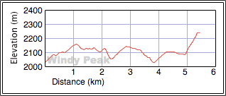
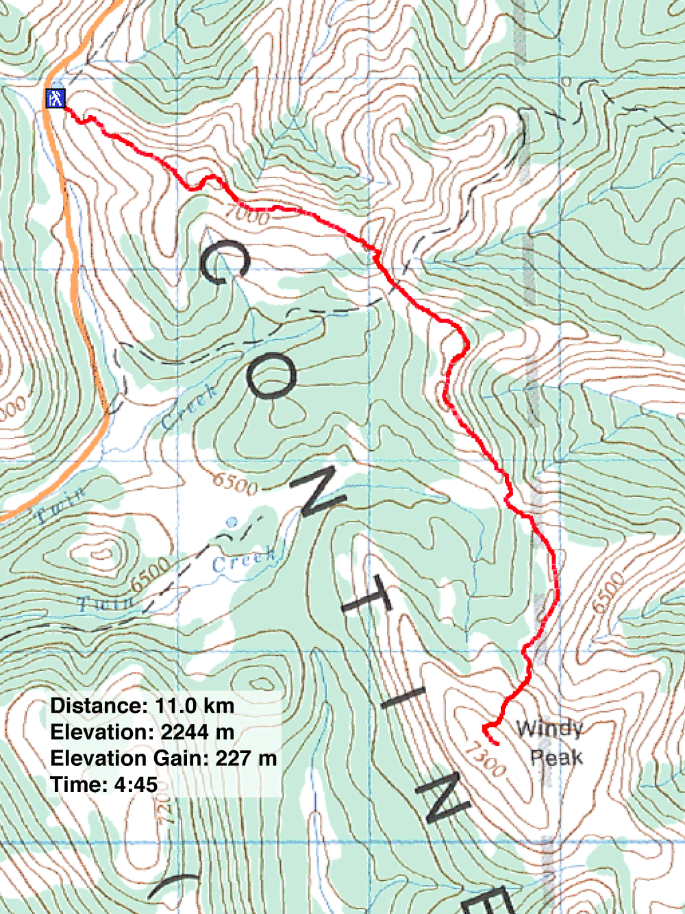
Distance: 12.8 km (6.8 mi)
Cumulative Elevation Gain: 691 m (2267 ft)
Windy Peak derives its name from the fierce winds that can sweep across it, and many years ago I had a taste of how brutal that wind can be. While standing in the parking lot at the trailhead I was struck by pieces of flying glass. At first I thought the wind had flung a handful of pebbles at me, but as strong as the wind was – and I saw hikers in my group bowled over by the gale – I didn't think it could lift stones. Only after learning that the wind had blown out six windows in four of our parked cars, did I realize the airborne particles must have been glass. I wasn't cut, but it did sting. One person witnessed the window glass vibrating before it shattered. We got the heck out of there without setting foot on the trail.
In 2007 I returned to hike up Windy Peak with Dinah. Although the wind wasn't strong enough to knock us over, it was insufferable, so miserable that we weren't even tempted to pull out our cameras. We completed the trip without taking a single photo. Now we returned to give Windy another whirl. We started at The Hump and took the popular north ridge route. This time we faced nothing more than a zephyr.
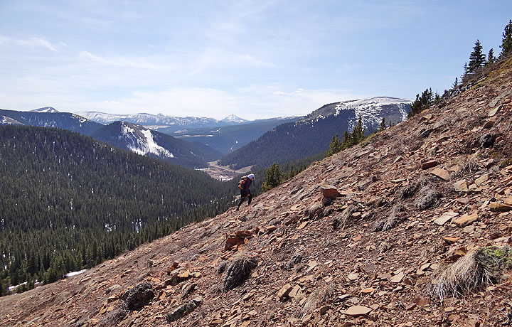
Although Windy Peak rises only 227 m above the trailhead, the devil is in the details. The roller-coaster ridgewalk vaults over four high points and drops below the trailhead at one point, before it rises to meet Windy's spacious summit. After our trip, my GPS displayed a total ascent of 966 m.
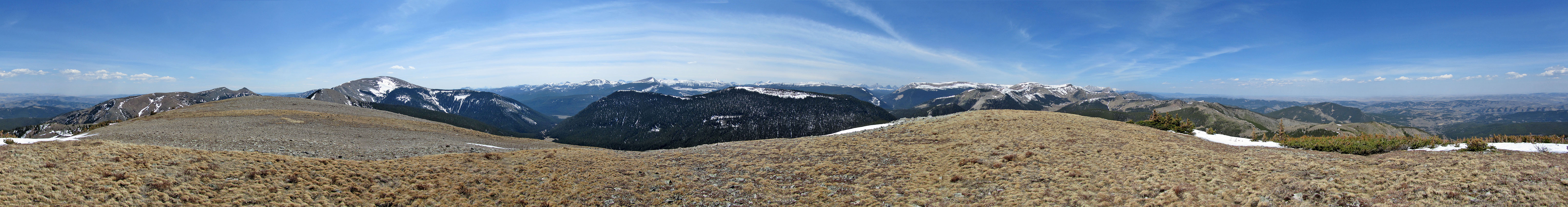
Elevation losses notwithstanding, this is a delightful ridgewalk. Given a good trail on an open ridge, there's no excuse not to enjoy the views of front-range peaks. Unless you're battling gale-force winds.
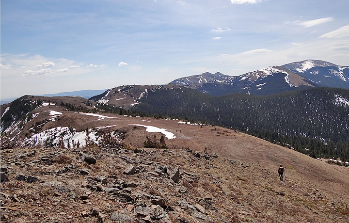
After hiking up the rise above the trailhead, the first high point – I'll call it HP 1 – appears far left
Looking back along the ridge at snow-covered Hailstone Butte
From HP 1 the remaining route can be traced to the summit (mouse over)
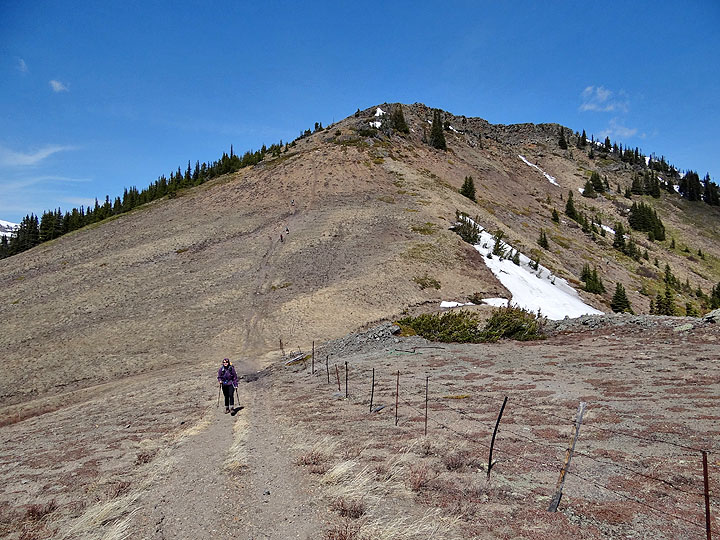
Looking back at HP 2. The road at the saddle below leads to Hwy. 532.
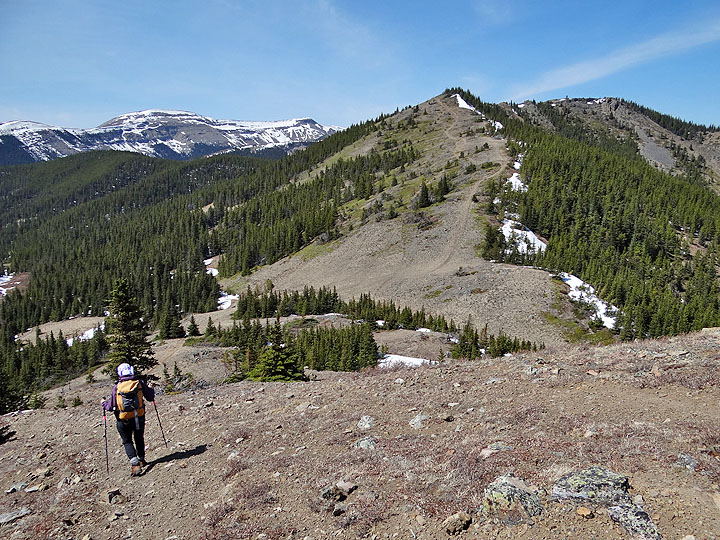
In this photo from HP 2, Windy Peak appears in the centre
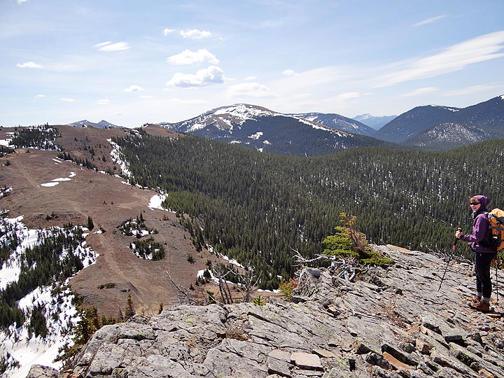
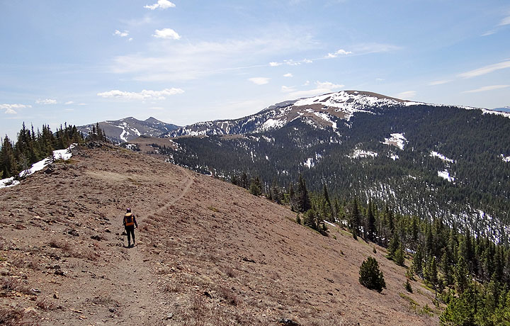
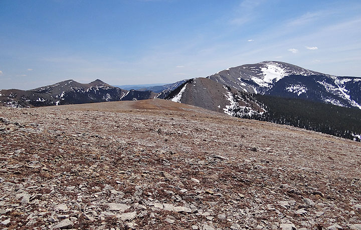
 Windy Peak from HP 3
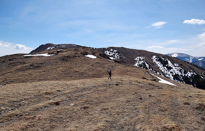
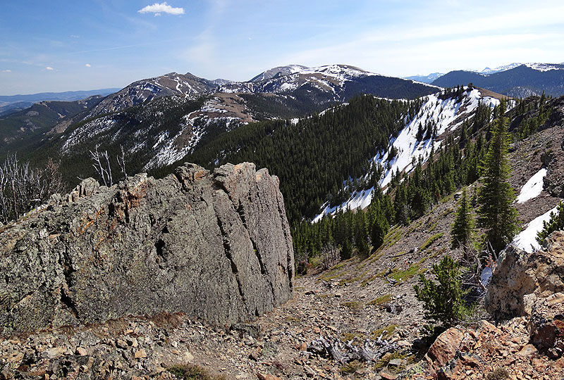
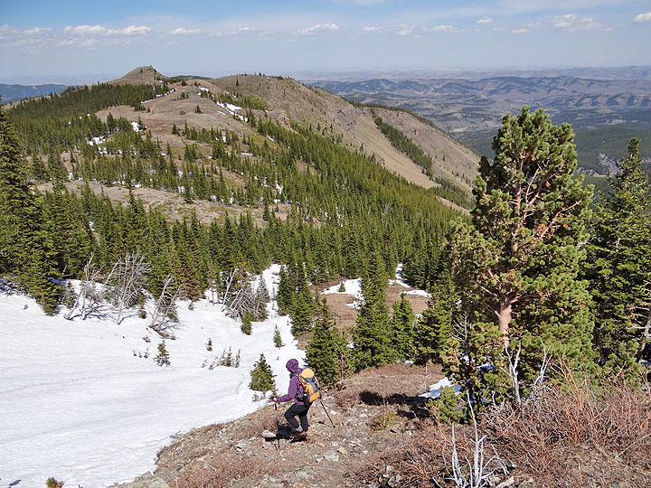
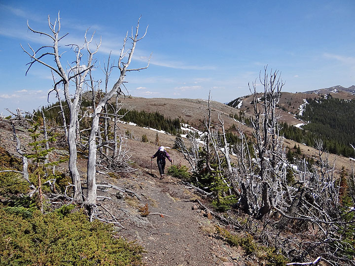
The trail heads to HP 4, the tiny bump above Dinah
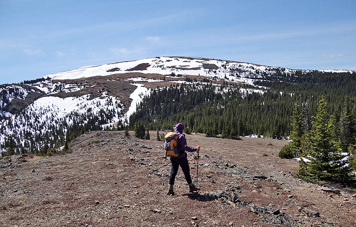
Windy Peak from HP 4
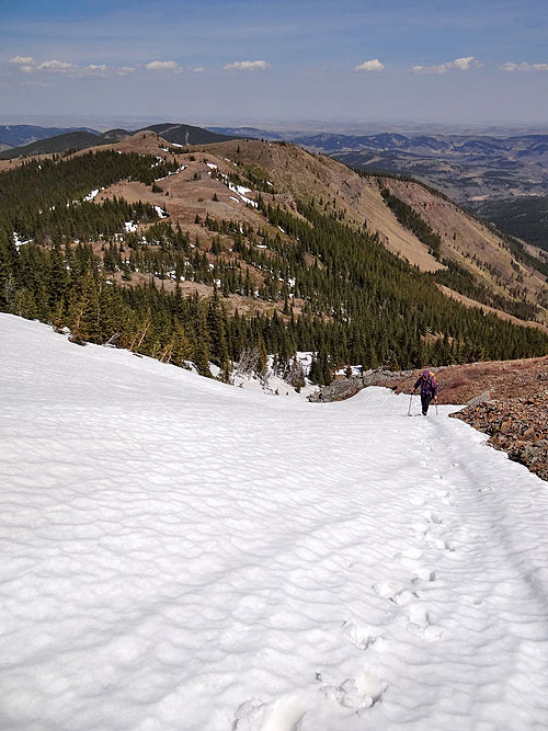
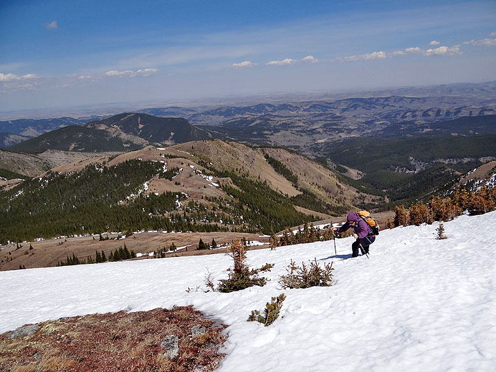
Kicking steps up the snow-covered gully
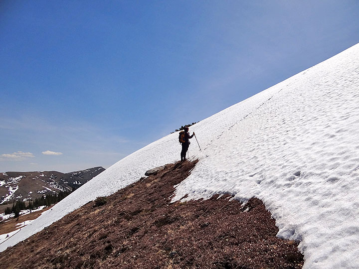
The summit is above us, but we angled right instead of attempting the steep slope directly
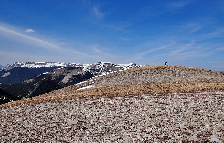
Almost on top of the ridge. In the background is Johnson Creek Ridge that we hiked last winter (mouse over).
Dinah on the broad summit of Windy Peak (mouse over for a close-up)
South are Saddle Mountain, Mount Hornecker and Mount Livingstone
Heading back to HP 4
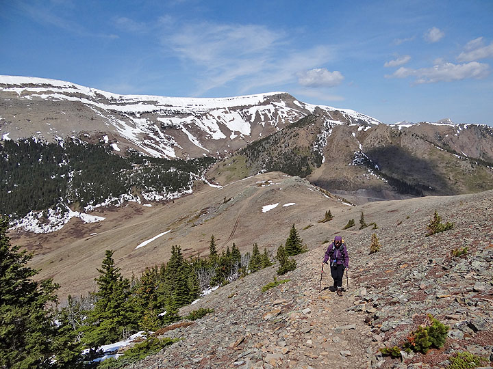
We're not looking forward to hiking up 100 m to HP 3, the highest gain on the way back
Heading to HP 2, Mount Lyall appears in the centre (mouse over to zoom in)
Heading back to the trailhead
82 J/1 Langford Creek