bobspirko.ca | Home | Canada Trips | US Trips | Hiking | Snowshoeing | MAP | About
Saddle Mountain
Kananaskis, Alberta
November 17, 2007
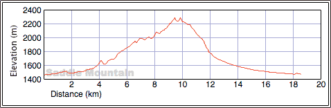
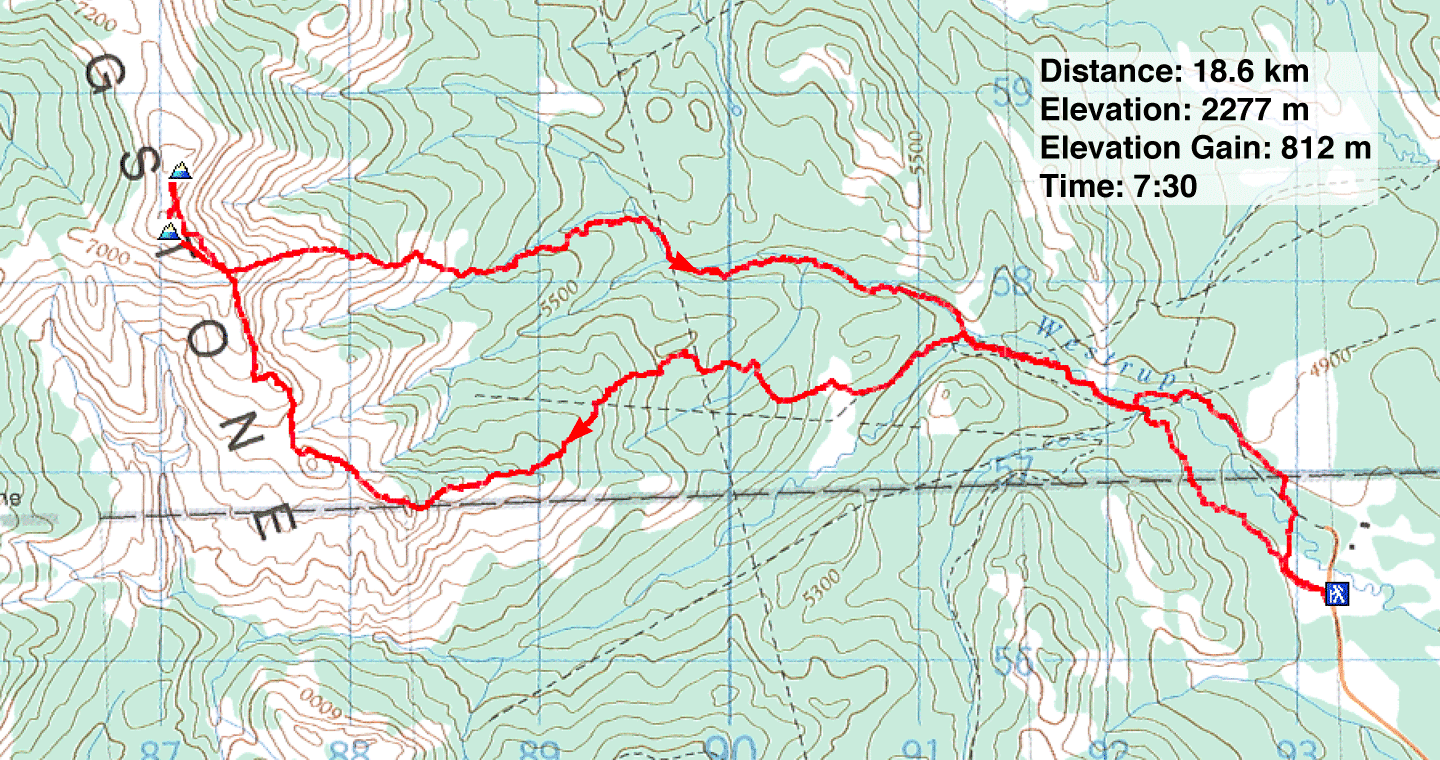
Distance: 18.6 km (11.6 mi)
Cumulative Elevation Gain: 996 m (3268 ft)
Saddle Mountain is usually approached from the north via Windy Peak. But having climbed Windy Peak a couple of times, Dinah Kruze and I had no wish to revisit it. We decided to reach the mountain from the east, a trip that would be longer and involve more routefinding. However, it would include the two-kilometre-long south ridge, an open stretch that is fascinating and scenic, filled with stunning, barren scenery.
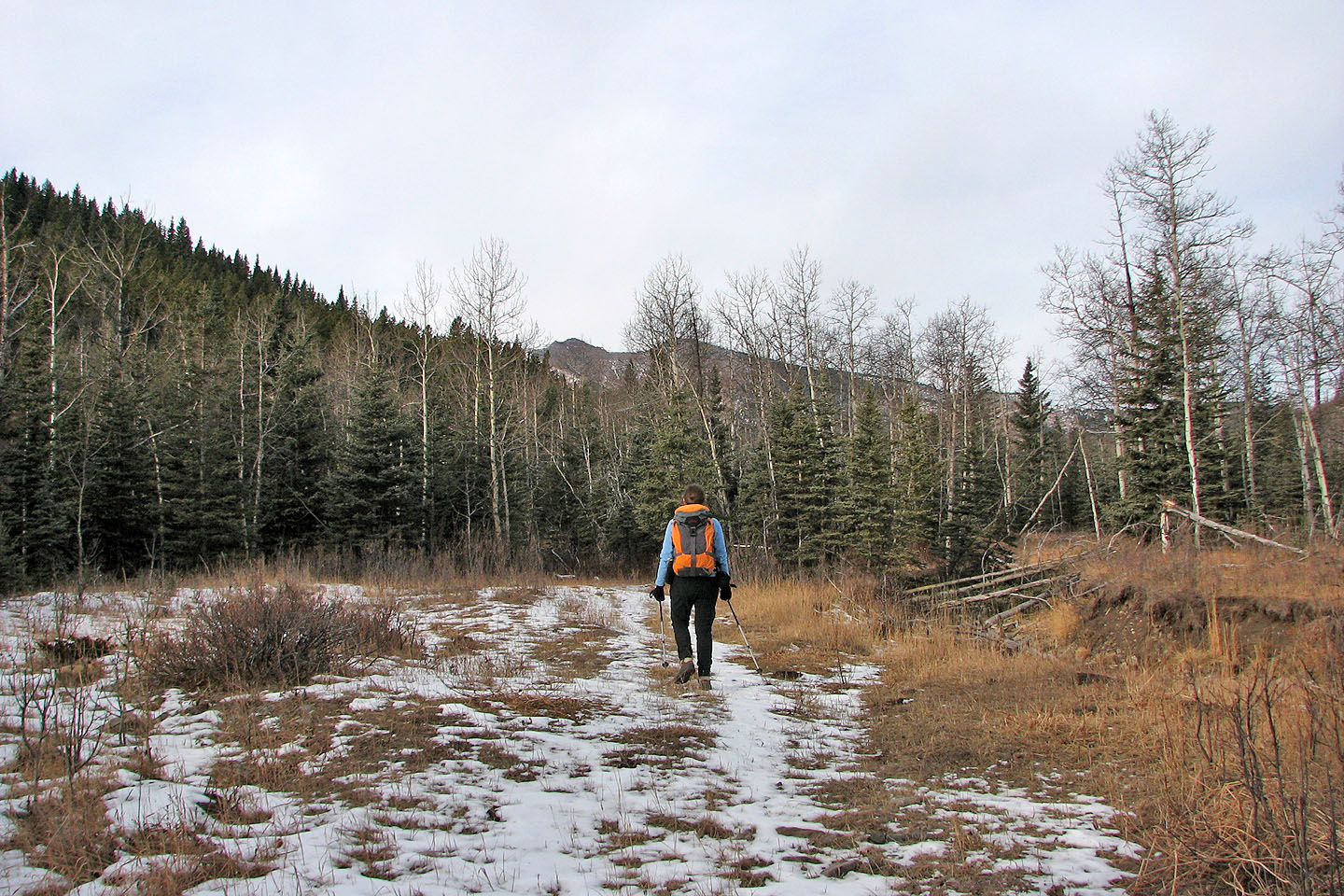
After driving down Chimney Rock Road, we turned onto Saddle Mountain Road. The logical trailhead was at the end where there is a 4x4 road. However, a sign there indicated "No Access." It wasn't clear if it meant no trespassing or no vehicles were allowed, so we drove back down Saddle Mountain Road 300 m and parked at an unsigned 4x4 road where we started. (Perforce, we ended up hiking on the "No Access" road anyway.)
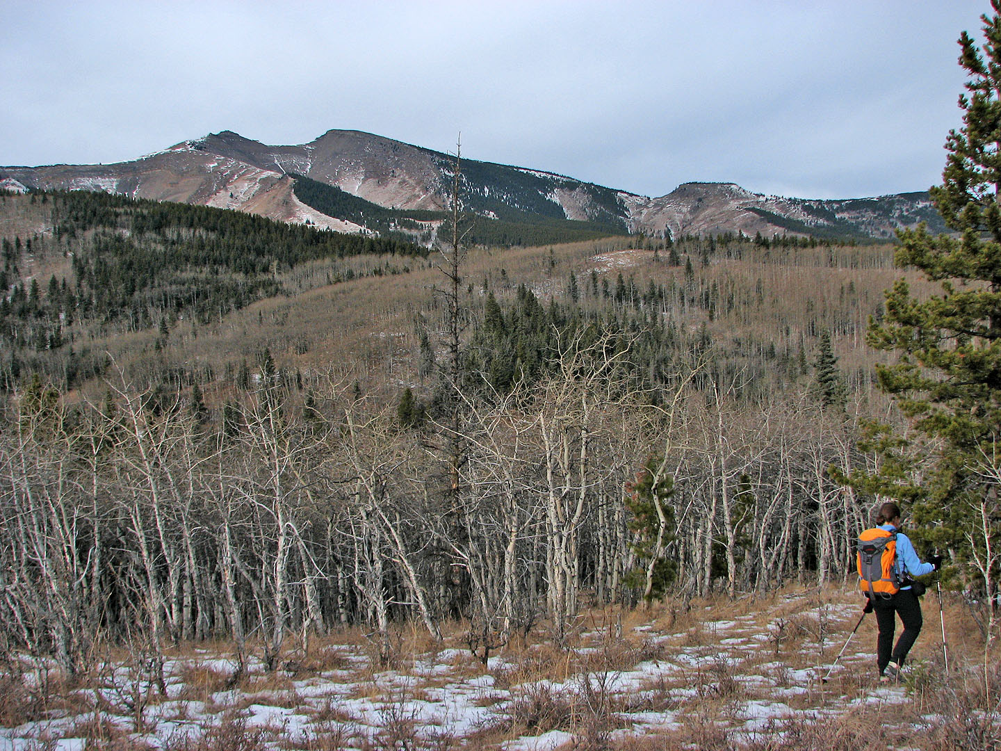
We hiked west up the road until we reached the end of a ridge running west. This ridge intersects the south ridge that leads to Saddle Mountain.
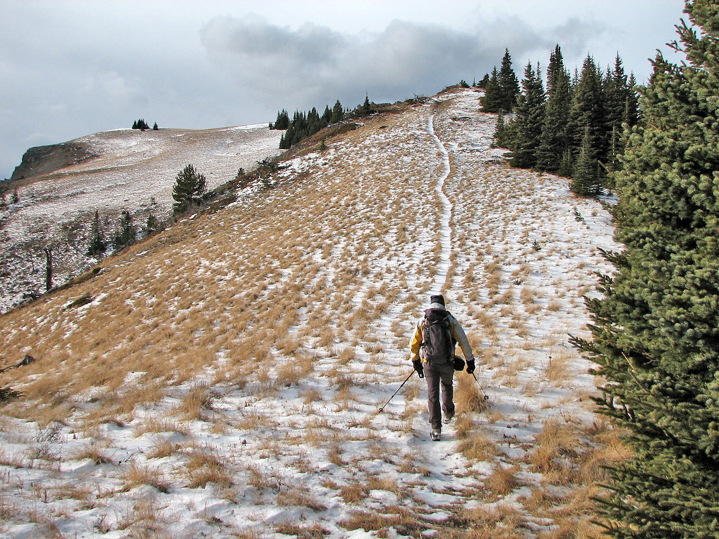
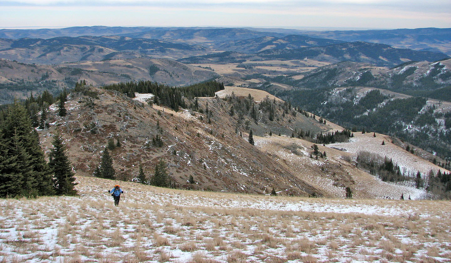
After two and a half hours of hiking on roads and light bushwhacking, we finally reached open slopes, the start of unfolding scenery. From here, routefinding was largely a matter of following a ridge to the mountain. Four hours after starting, we reached the south summit of Saddle Mountain, and 15 minutes later we were standing on the north peak. My GPS showed the north peak was a metre higher.
Rather than go back the same way, with all its ups and downs, we hiked down an open east slope from the south summit to a drainage and followed it back to the 4x4 road. With its twists and turns and bushwhacking, it was not an easy return trip, but we reached the car three hours after leaving Saddle Mountain.
Before reaching the car, we saw a small mammal scurry in front of us. In the dim light of dusk, we could see it was brown and about the size of a pika. It wasn't fast, nor did it try hard to hide. I was able to get within a metre of it and take photos. Back home after an Internet search, I realized it was a pocket gopher. These tiny creatures are abundant but rarely seen. They spend their lives digging tunnels but occasionally go above ground at night. They create the piles of black soil seen in grassy areas.
Postscript: Although we had no trouble accessing the cattle land, I read an account where a person was asked to turn back. Also, Gerry Richardson, Event Coordinator Calgary Outdoor Club, emailed me a caveat.
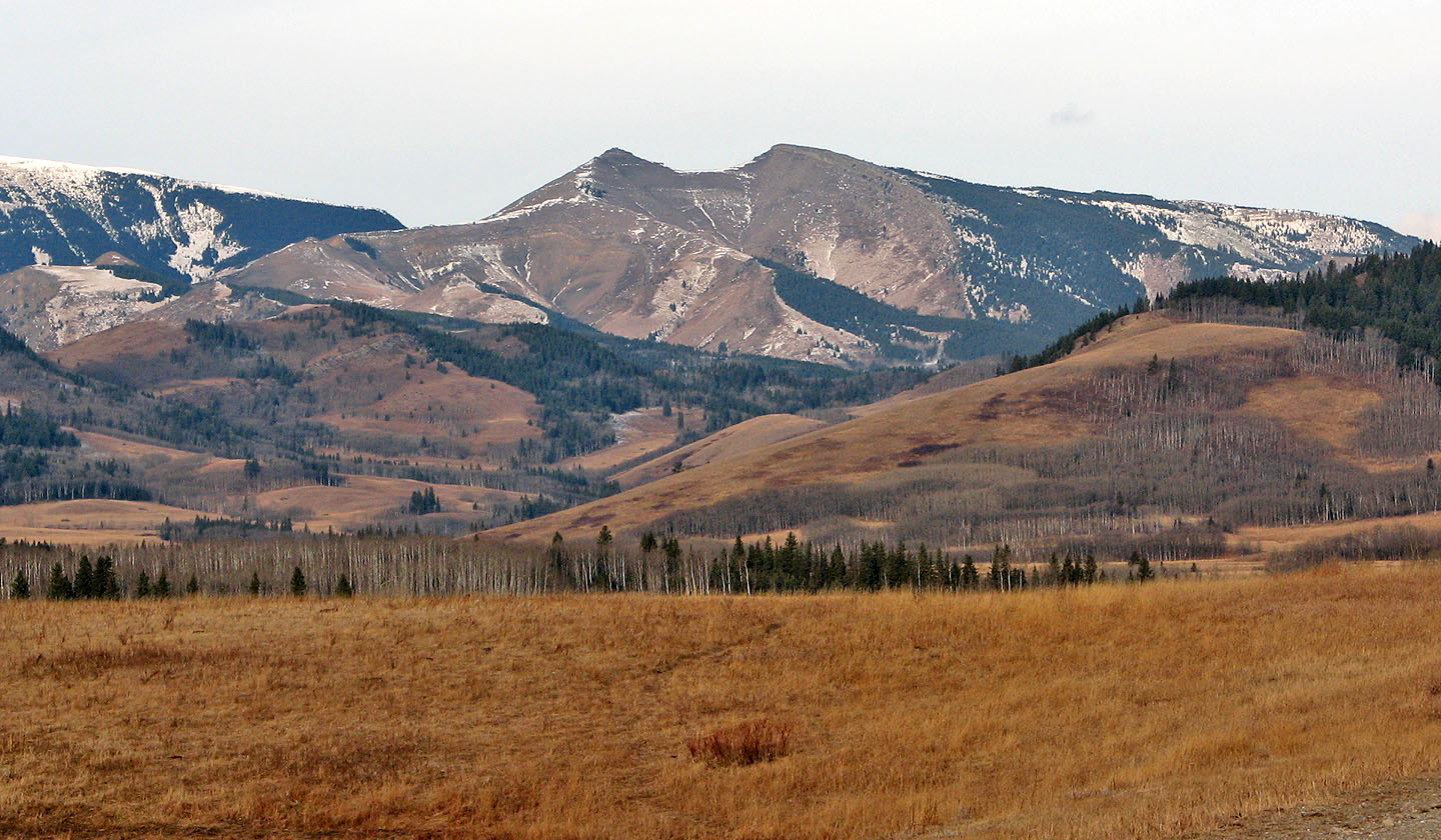
Saddle Mountain seen from Saddle Mountain Road
We're well into our trip but Saddle Mountain is still far away
On a high point on the ridge, we went right but we should have gone left to reach open
slopes sooner
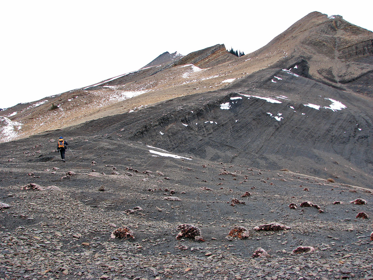
After much bushwhacking we reached the open slopes (mouse over to look back)
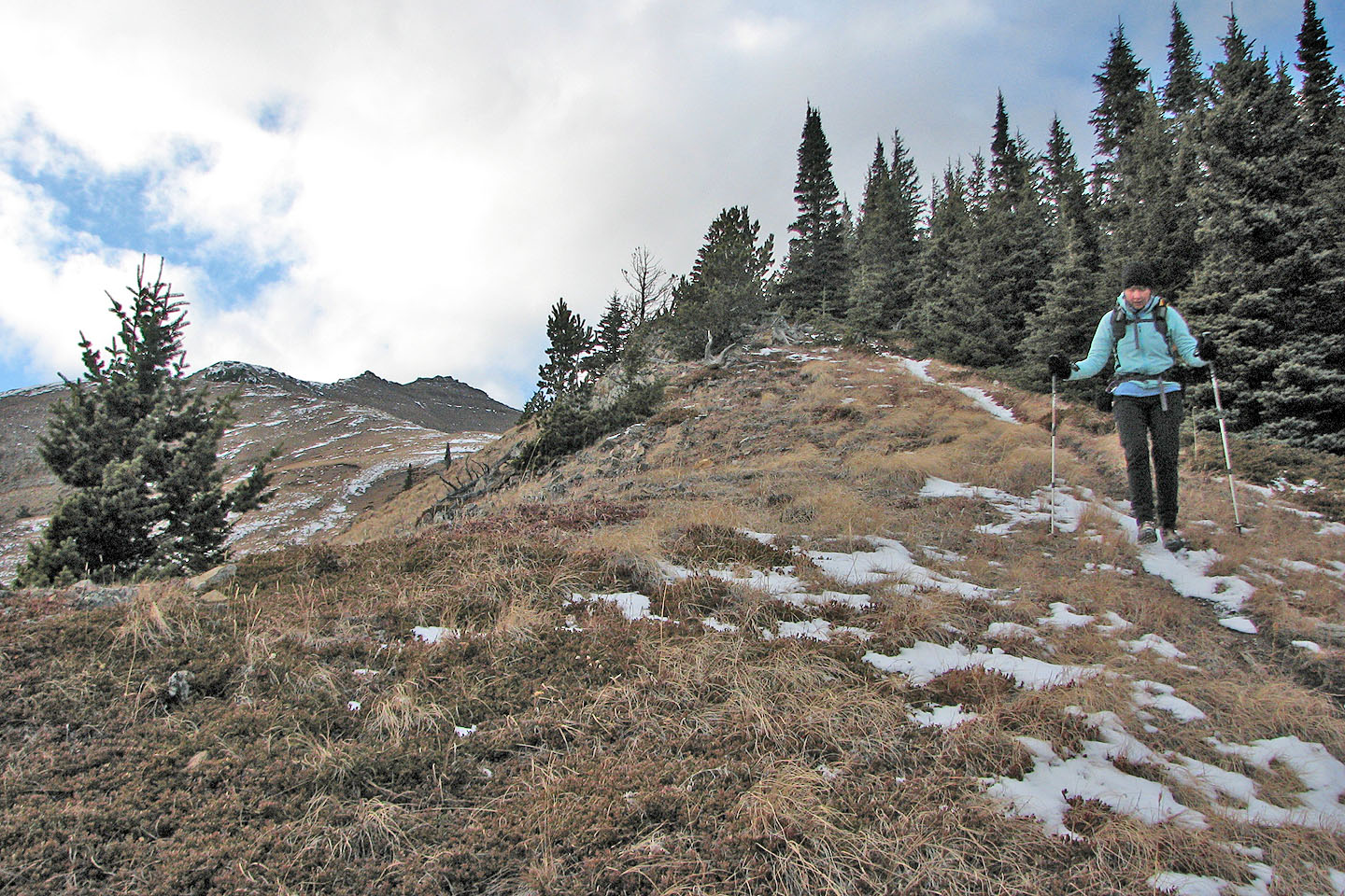
We continued up the ridge
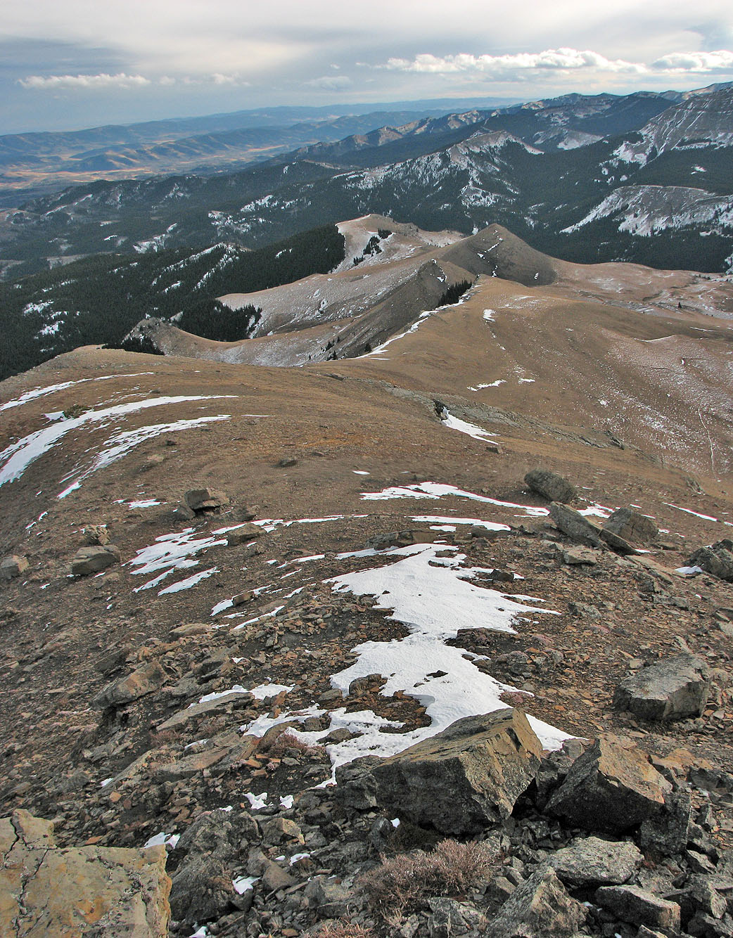
Looking back along the ridge
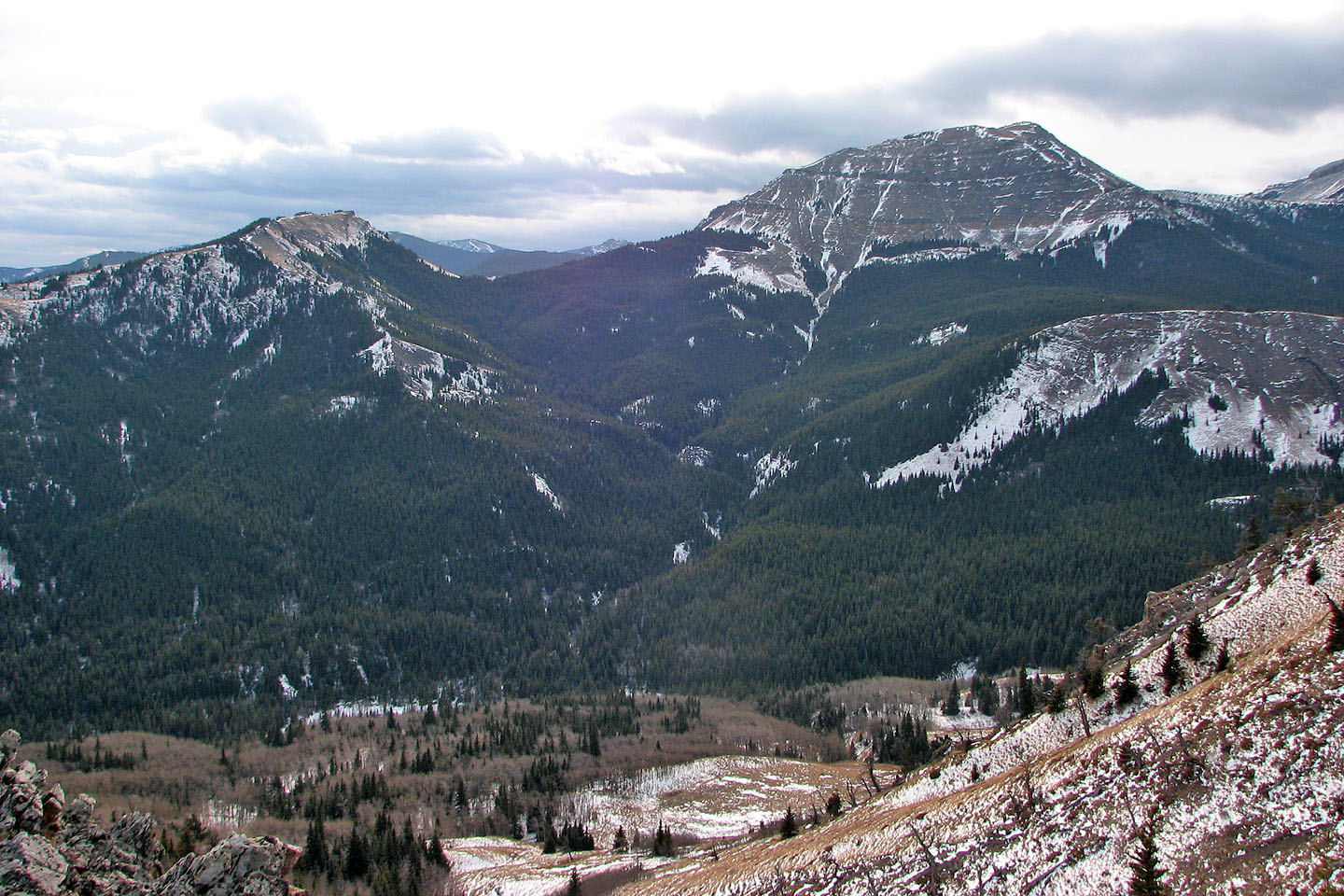
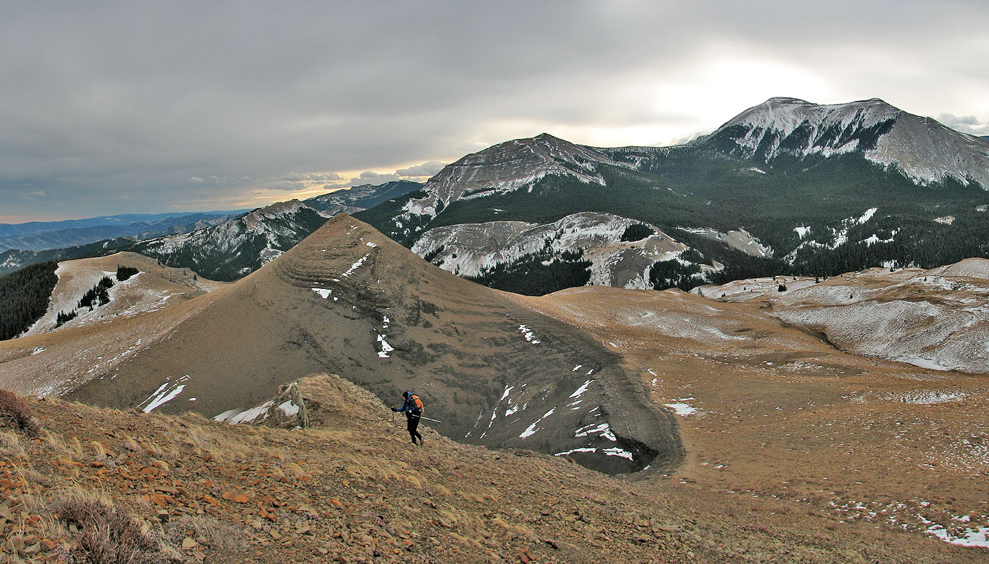
Sheep East Peak and Sheep Mountain to the south
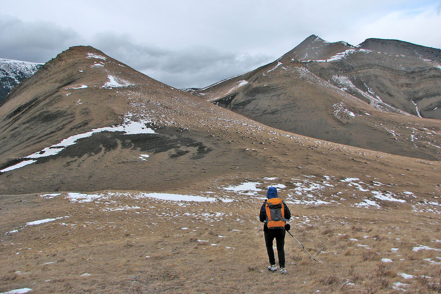
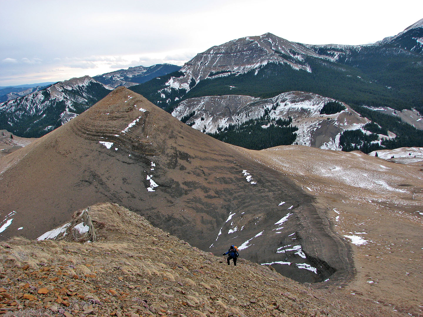
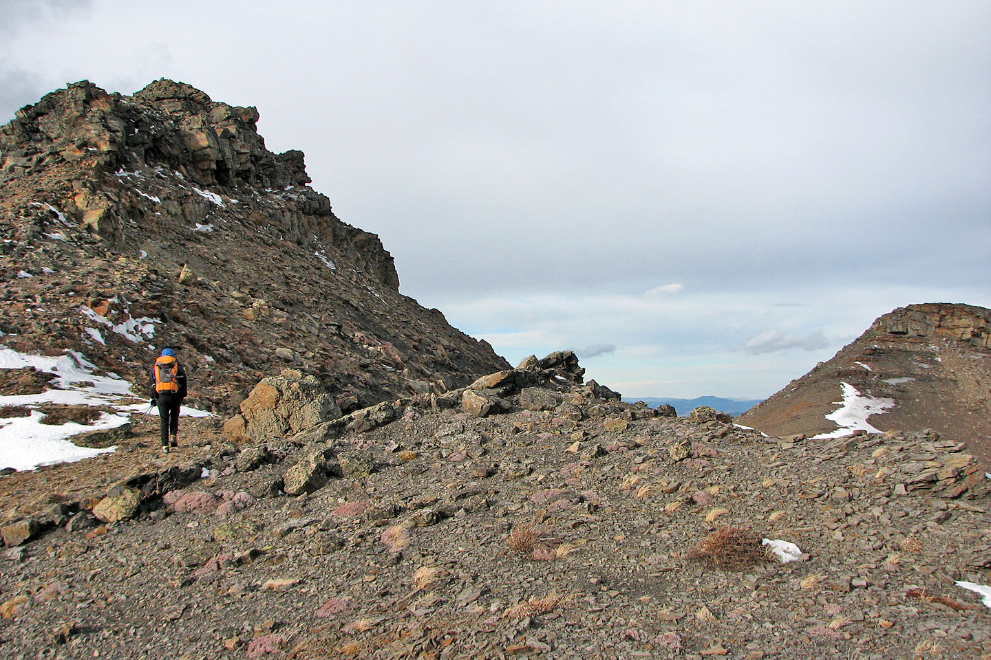
We skirted on the right side of the point ahead. Saddle Mountain is right.
We'll drop down to the black slope on the right
Looking back as Dinah makes her way down the slope
We followed a strip that looked like a paved road leading to the high point on the right

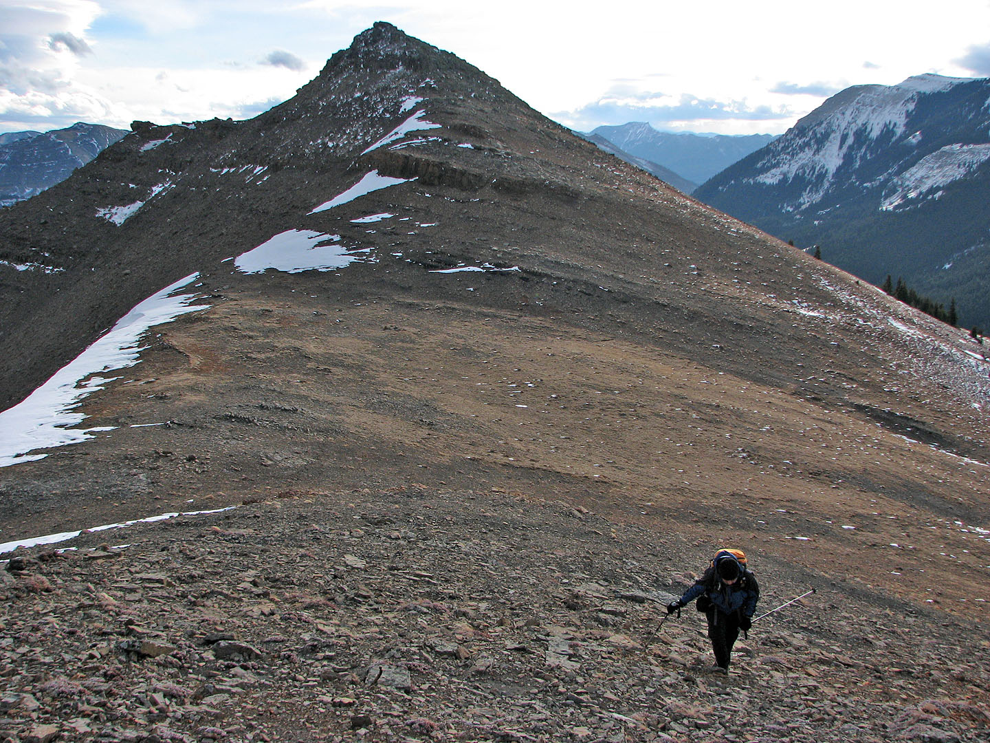
Saddle Mountain on the left
Looking back at the point we bypassed below the cliffs
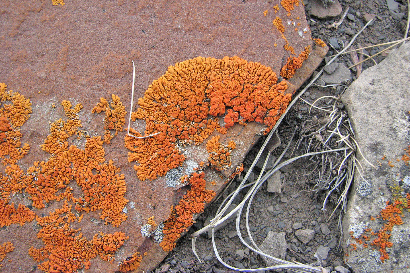
Bright lichen
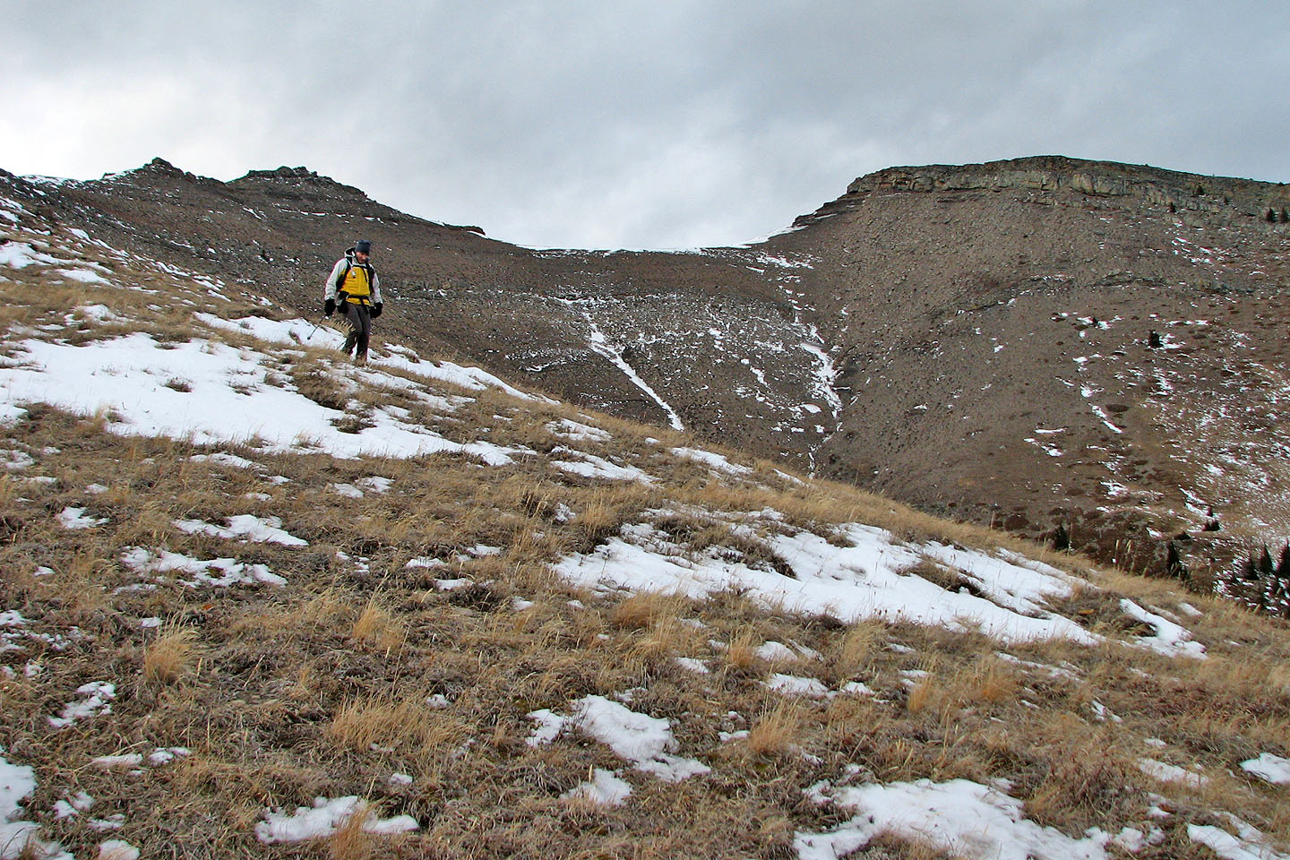
We had to drop down and go left of the next point (mouse over for a close up)
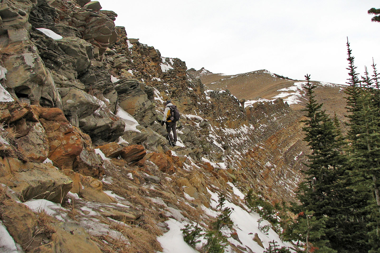
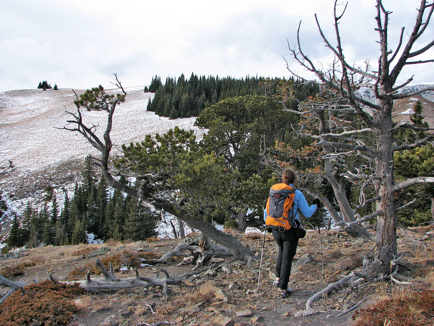
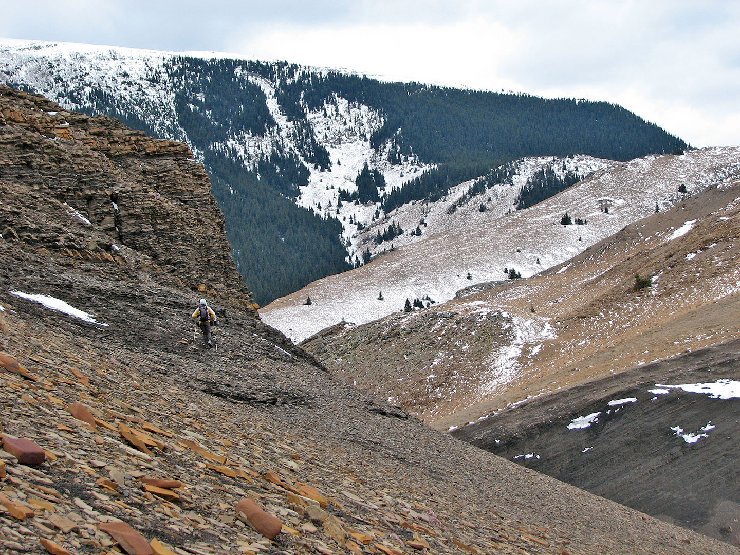
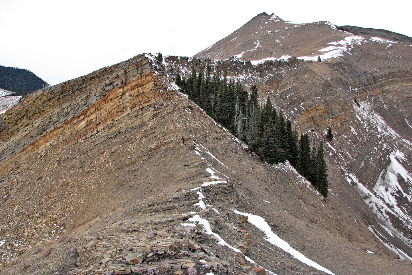
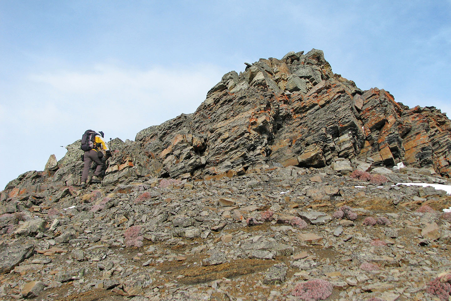
We decided not to scramble up the cliff band because of snow and we had no helmets
It only took a few minutes to go around and get on top of the cliff band. On the right is Sheep Mountain.
We headed to the south peak (far left)
Coming to a boulder on the false summit of the south peak
From the false summit looking back along the open ridge we traversed
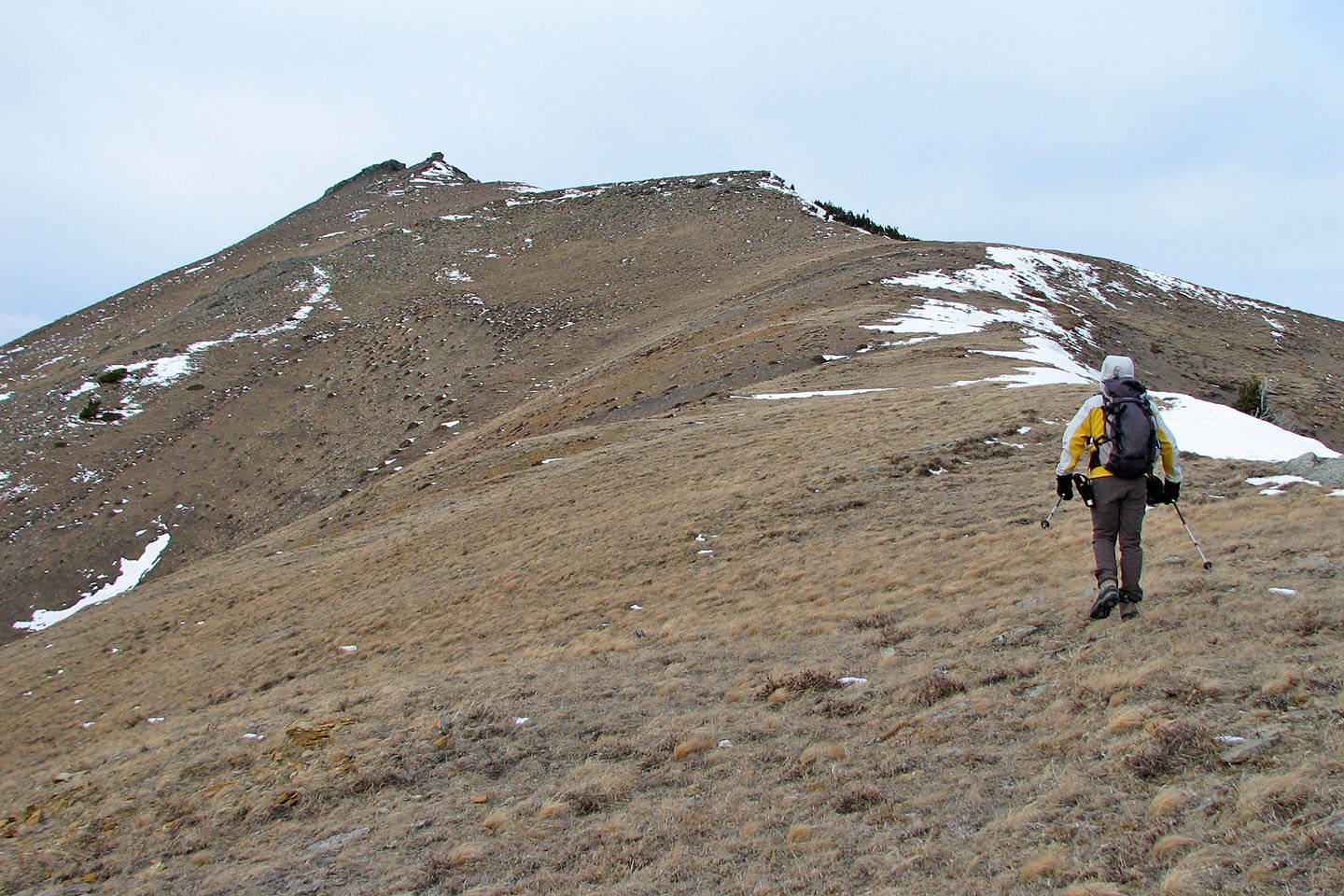
We made our way to the south peak. North peak is right.
Looking back at the south peak from the saddle
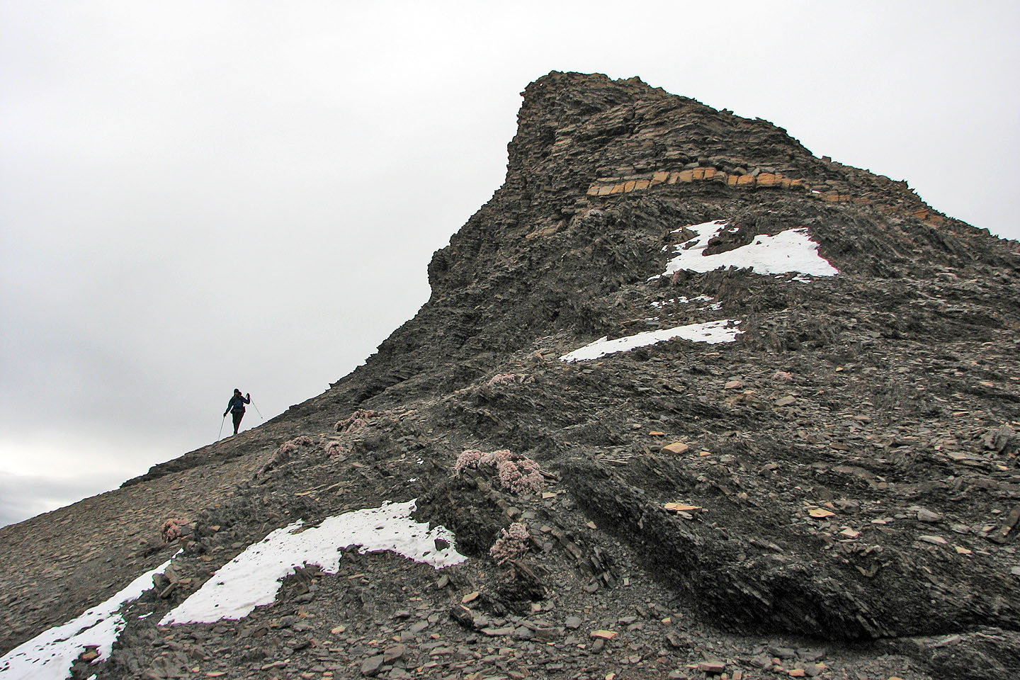
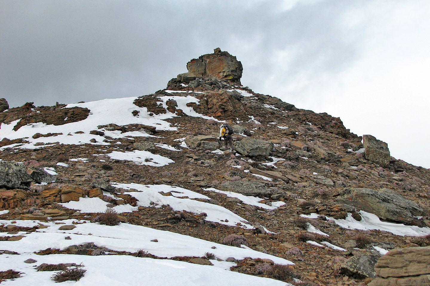
It's an easy scramble up the left side to the north peak
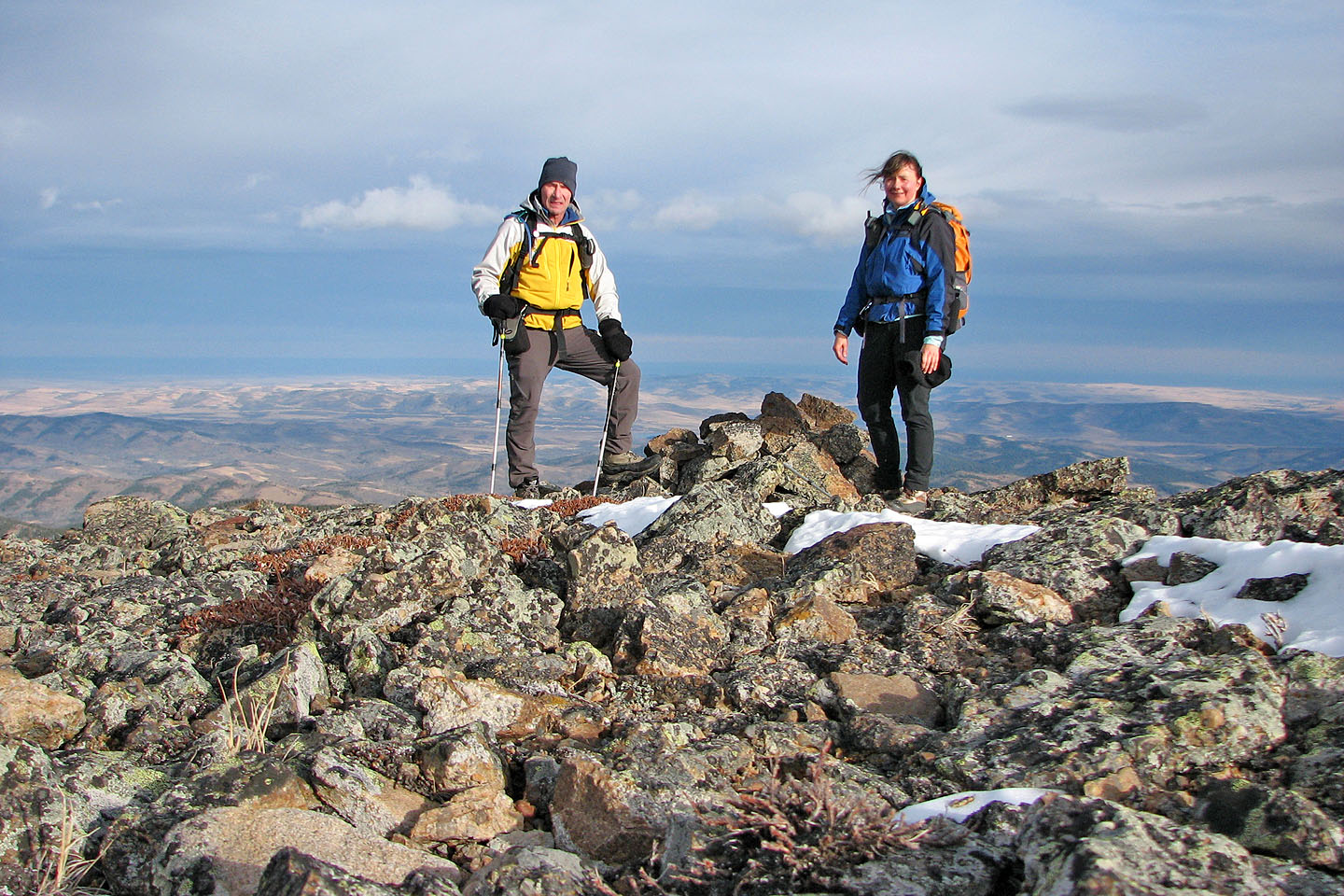
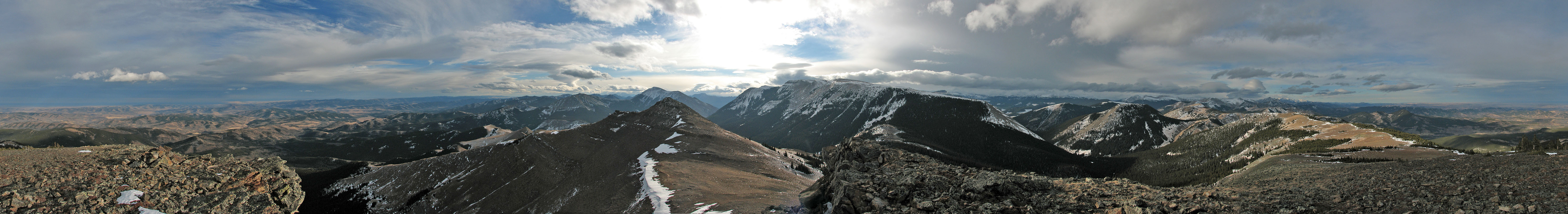
On the north peak
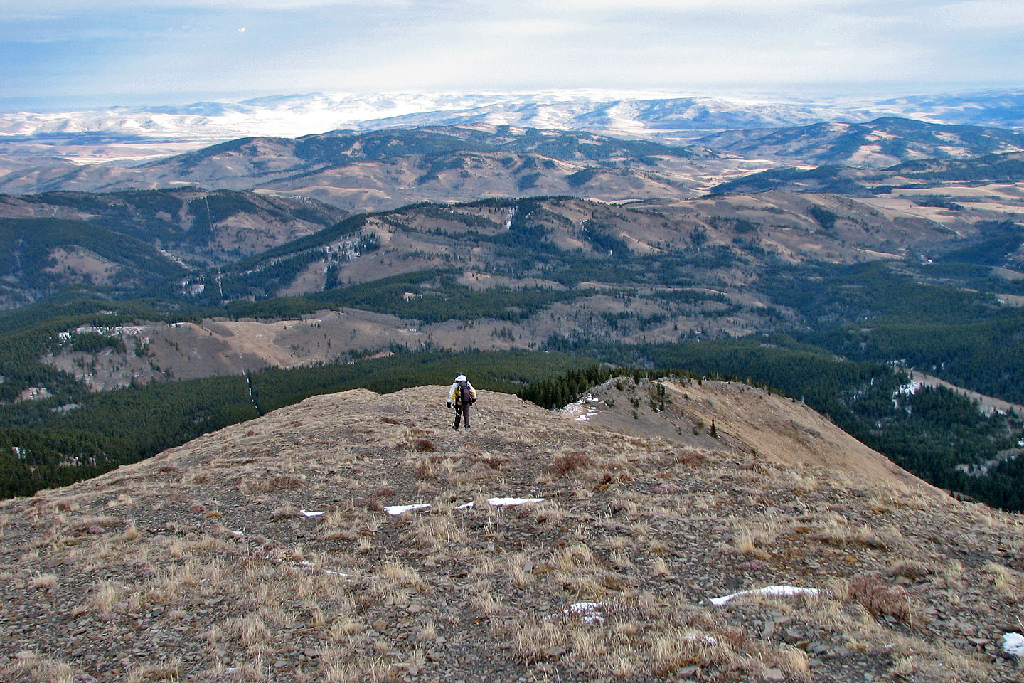
We followed the open slope down the east side
Looking back at Saddle Mountain
We followed a good animal track down. Saddle Mountain in the background.
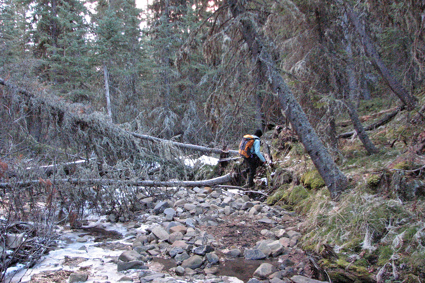
Negotiating the drainage back to the 4X4 road
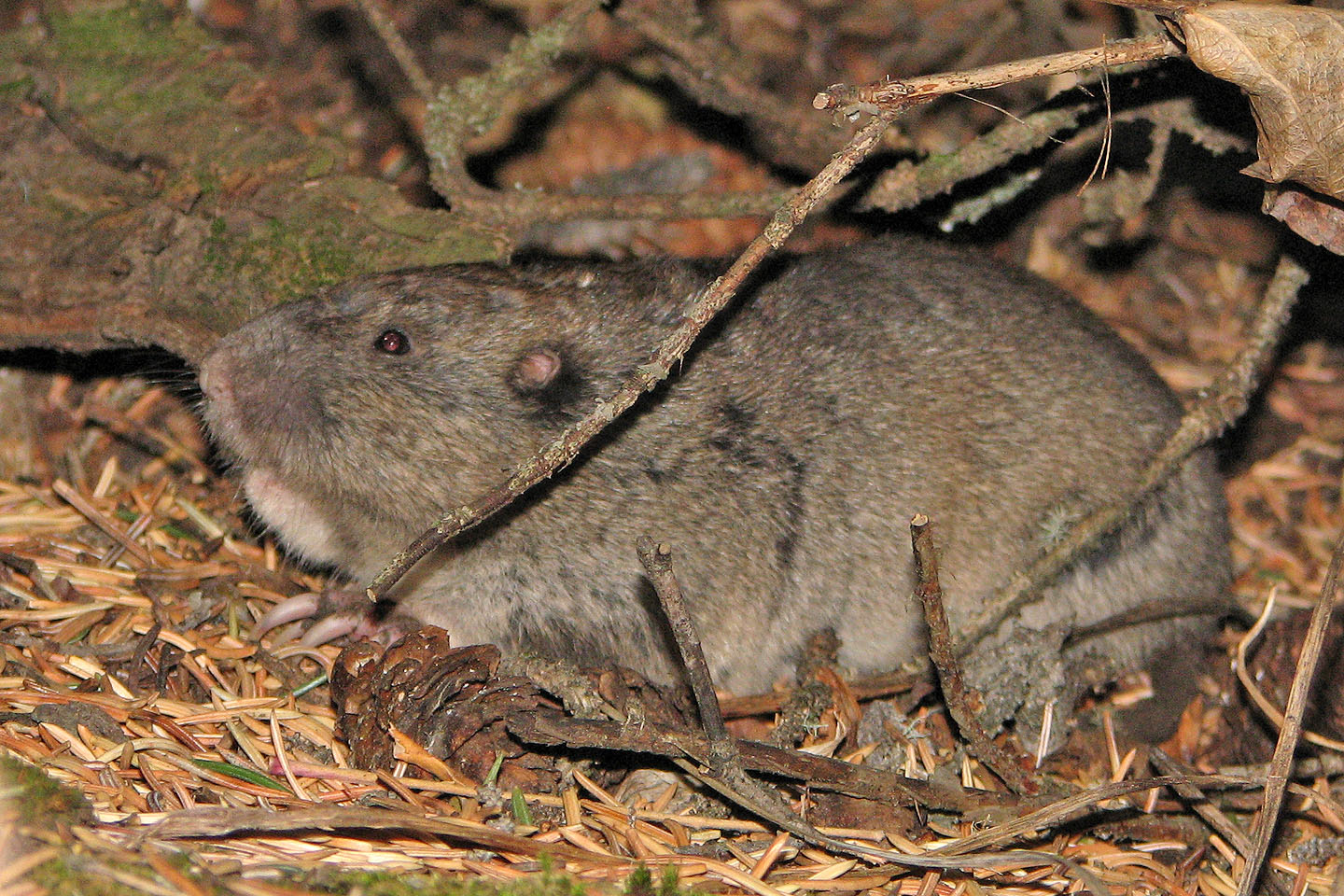
We were surprised to see a pocket gopher which didn't try to run away
82 J/1 Langford Creek