bobspirko.ca | Home | Canada Trips | US Trips | Hiking | Snowshoeing | MAP | About

Iron Creek Mountain
Kananaskis, Alberta
November 29, 2008
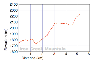
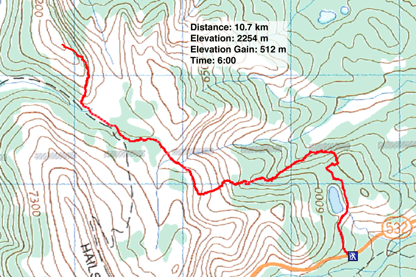
Distance: 10.7 km (6.6 mi)
Cumulative Elevation Gain: 768 m (2520 ft)
When Dinah and I climbed Sentinel Peak earlier this year, we considered also ascending the unnamed peak (808674) south of it. We didn't so now we returned to climb it.
We started from Bear Pond trail on Highway 532 and reached the frozen lake in ten minutes. After following the east shore, we continued to the Iron Creek north fork trail junction. Instead of hiking all the way to the junction, down to Iron Creek valley, we took a shortcut. We broke off Bear Pond trail and bushwhacked west to intersect the north fork trail. The shortcut saved us both elevation loss and distance. We still lost 60 m of elevation, dropping us back down level with the trailhead.
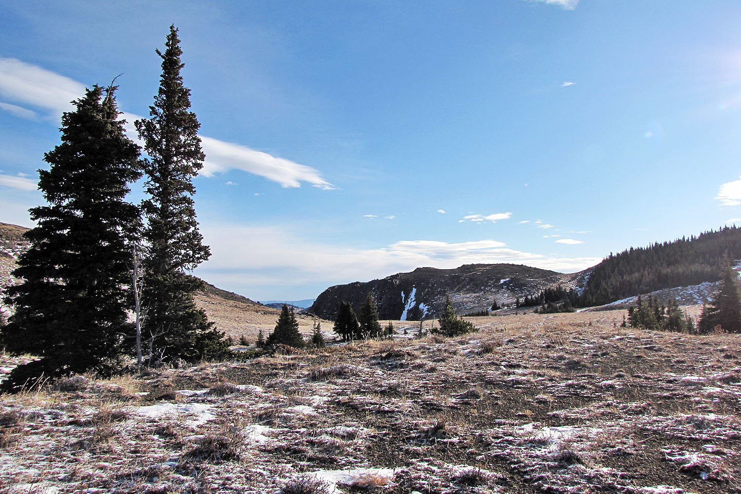
Because of the snow cover, we couldn't tell if we stuck to the north fork trail; likely we followed animal trails, bushwhacking at times. We kept left of a drainage at first but later crossed it. We continued west and climbed out of the trees onto a grassy slope. When a rocky ridge appeared on our right, we stayed left and worked our way around it to reach a saddle. From the saddle, we could see Iron Creek Mountain above Iron Creek Pass.
The terrain between the saddle and the mountain was a pleasant high plateau. We soon found ourselves hiking along the Hailstone Butte Lookout access road which took us to the base of Iron Creek Mountain. We hiked up the open slopes to the summit.
The surrounding scenery encompassed snow-covered peaks under cobalt skies. Views at the top were fine, but then we enjoyed the scenery throughout the trip.
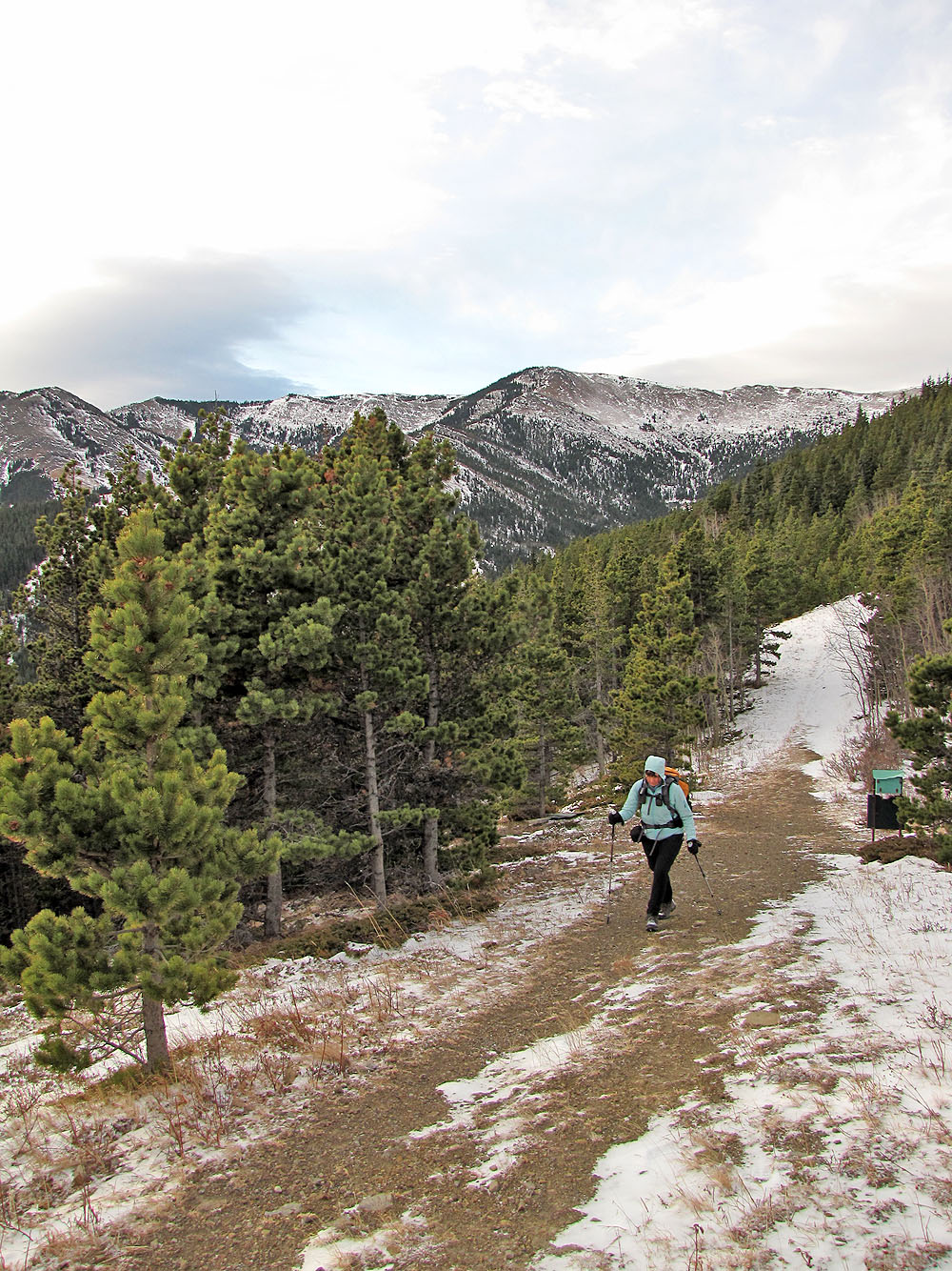
Hiking up the trail to Bear Pond
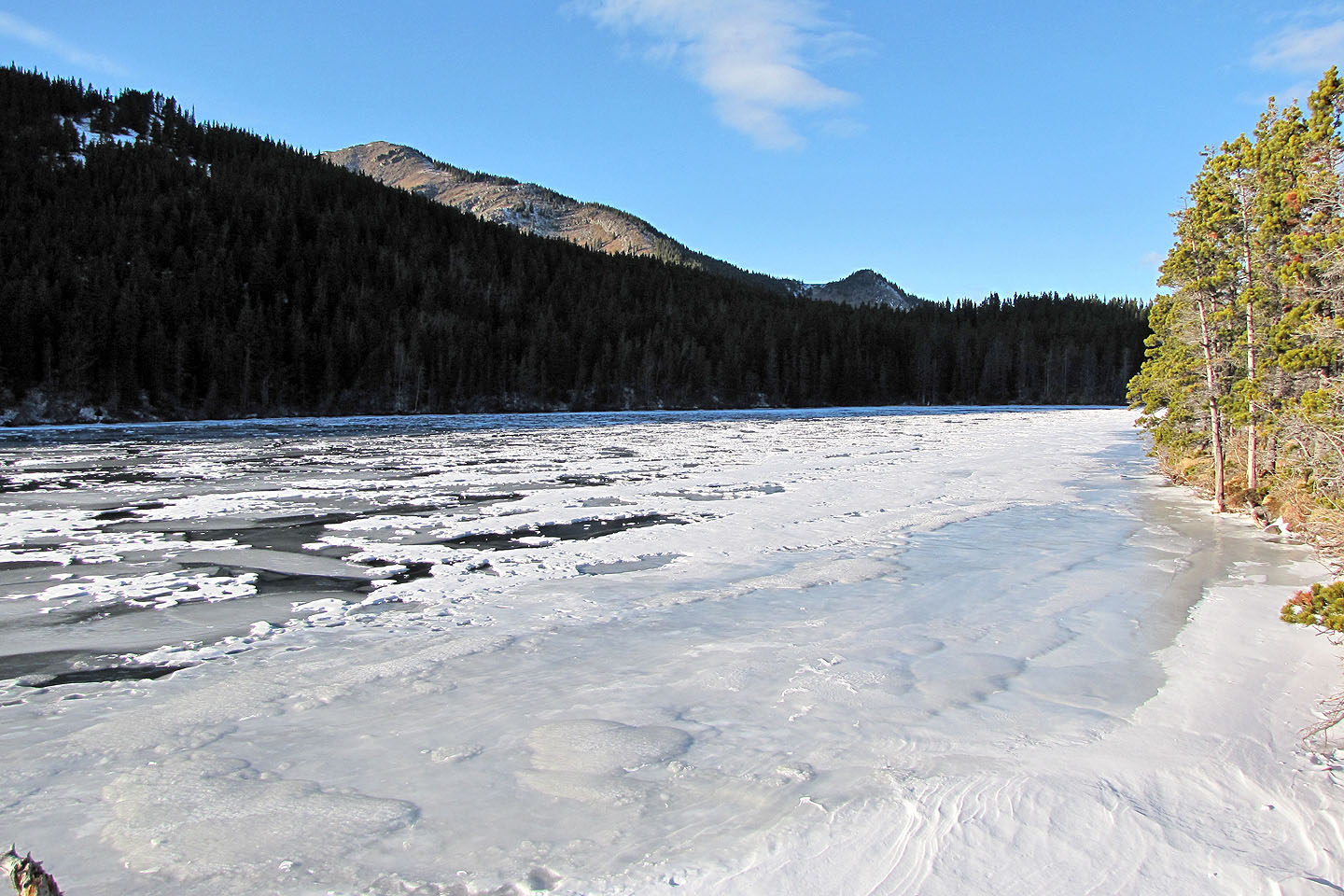
Bear Pond
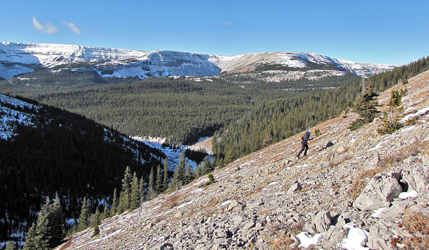
After leaving the trail, a break in the trees offered a glimpse of the open slopes
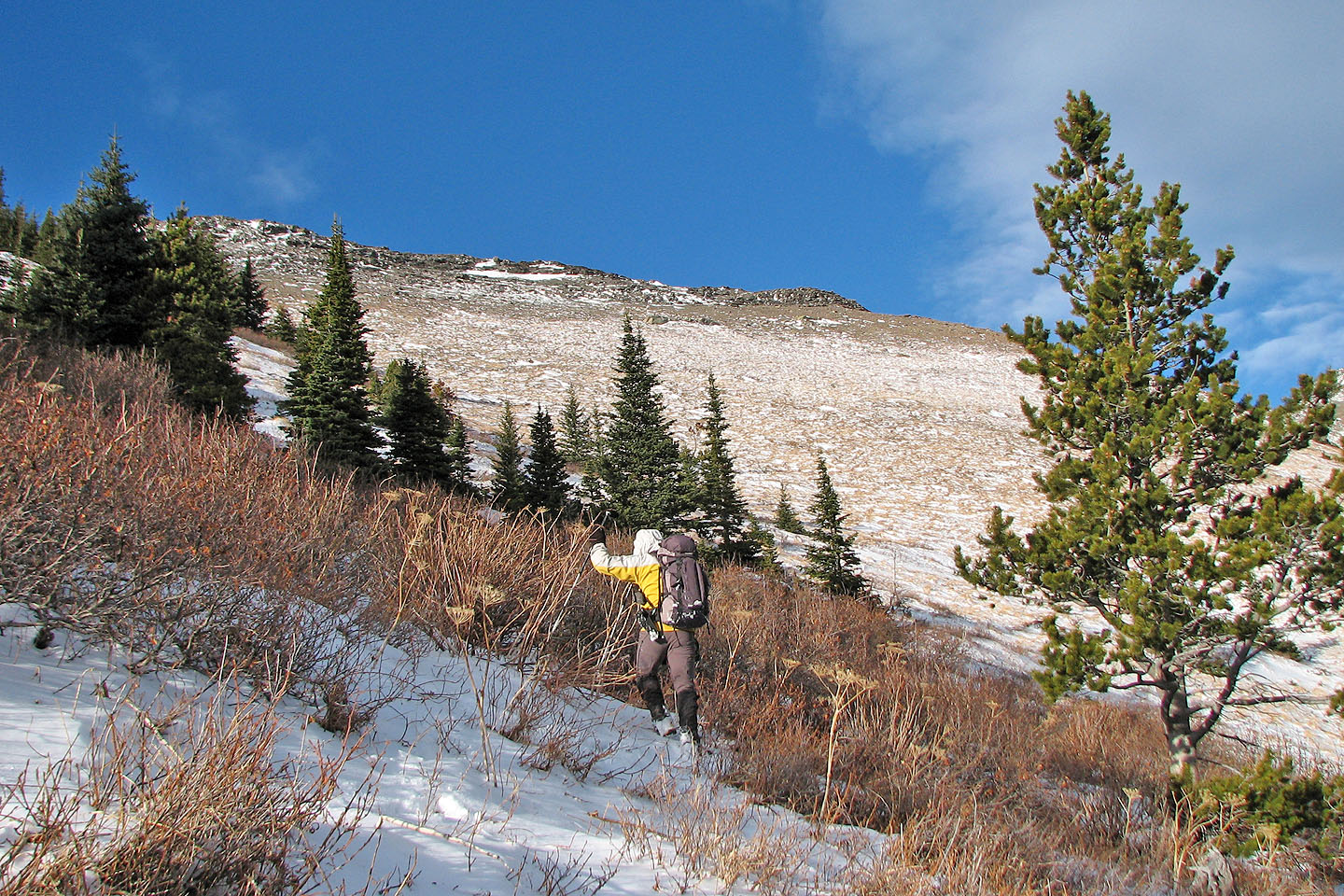
Later we realized we could have ascended the ridge above, but the day was too short to do much exploring
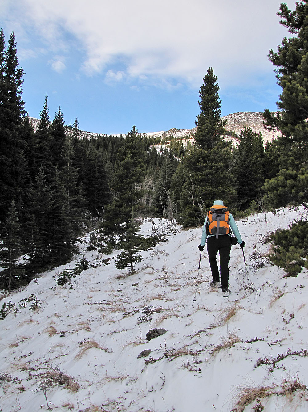
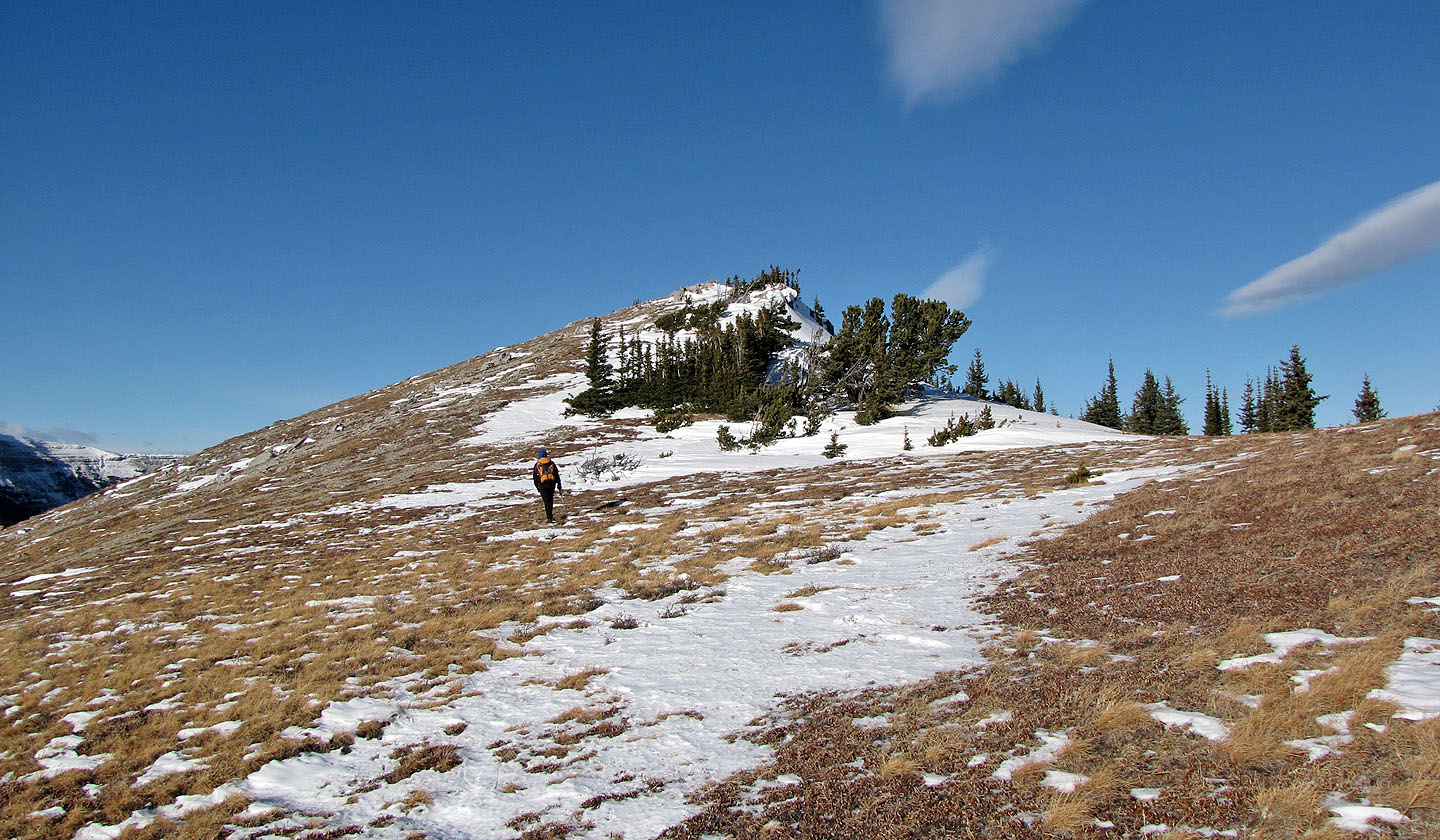
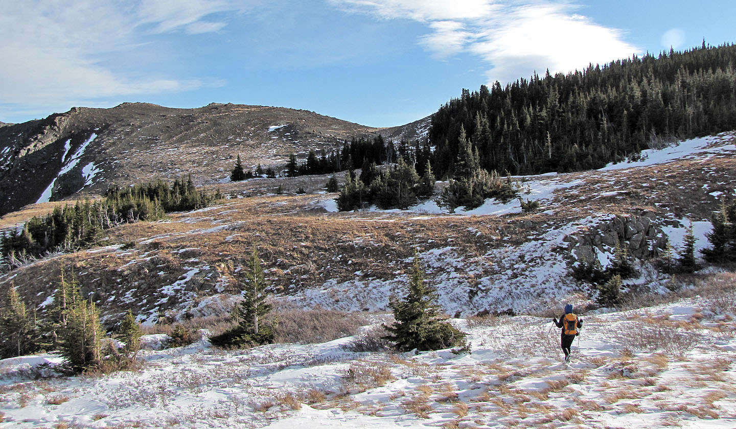
We reached the open slopes
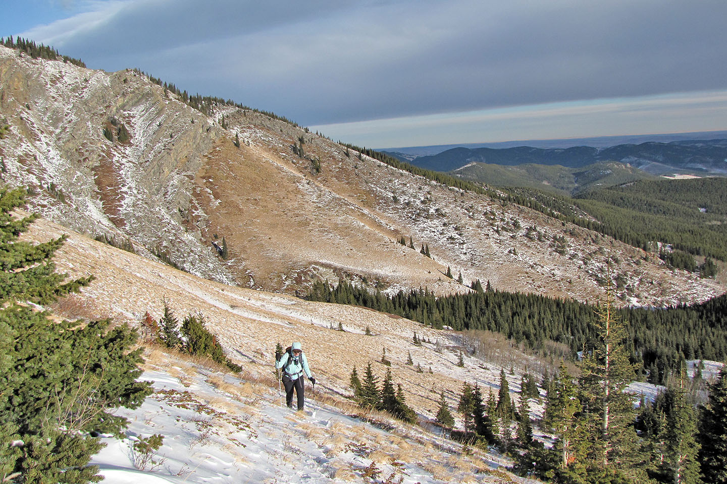
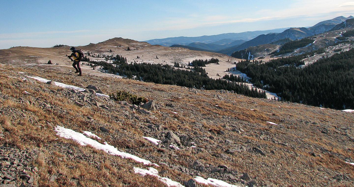
We hiked to a hidden saddle around the corner on our right
Ascending the saddle
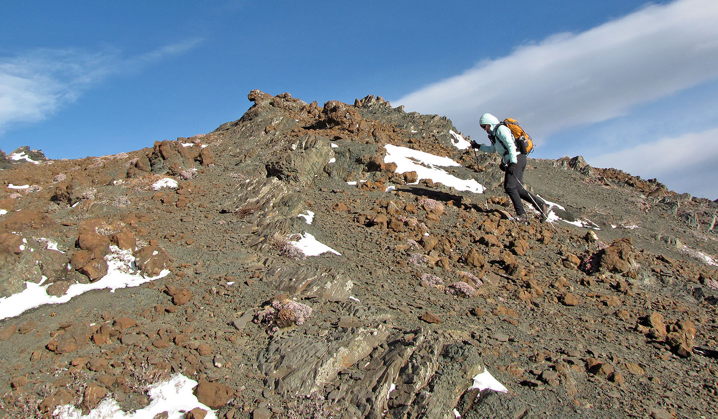
Unusual landscape on the saddle
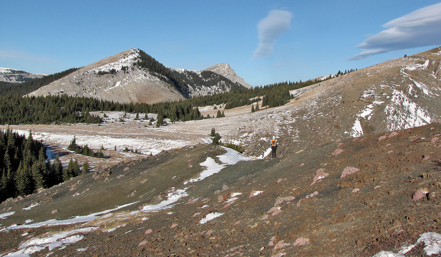
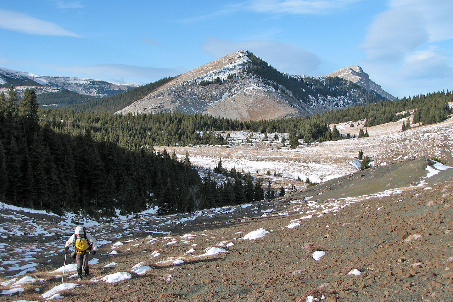
Iron Creek Mountain and Sentinel Peak
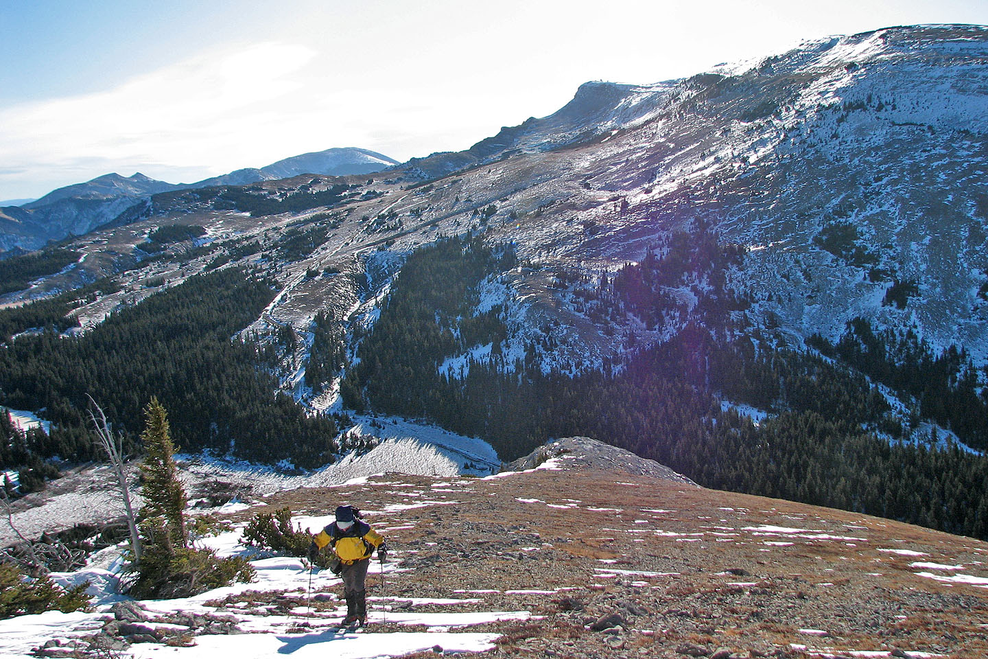
Looking back at the saddle on the skyline
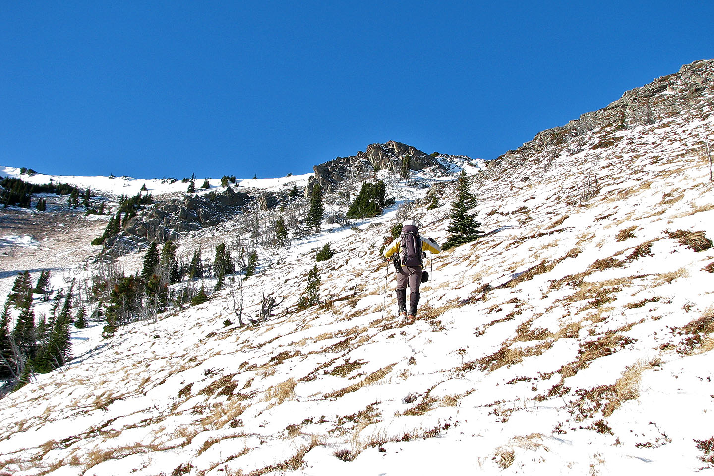
To reach Iron Creek Pass, we'll have to bushwhack a short distance
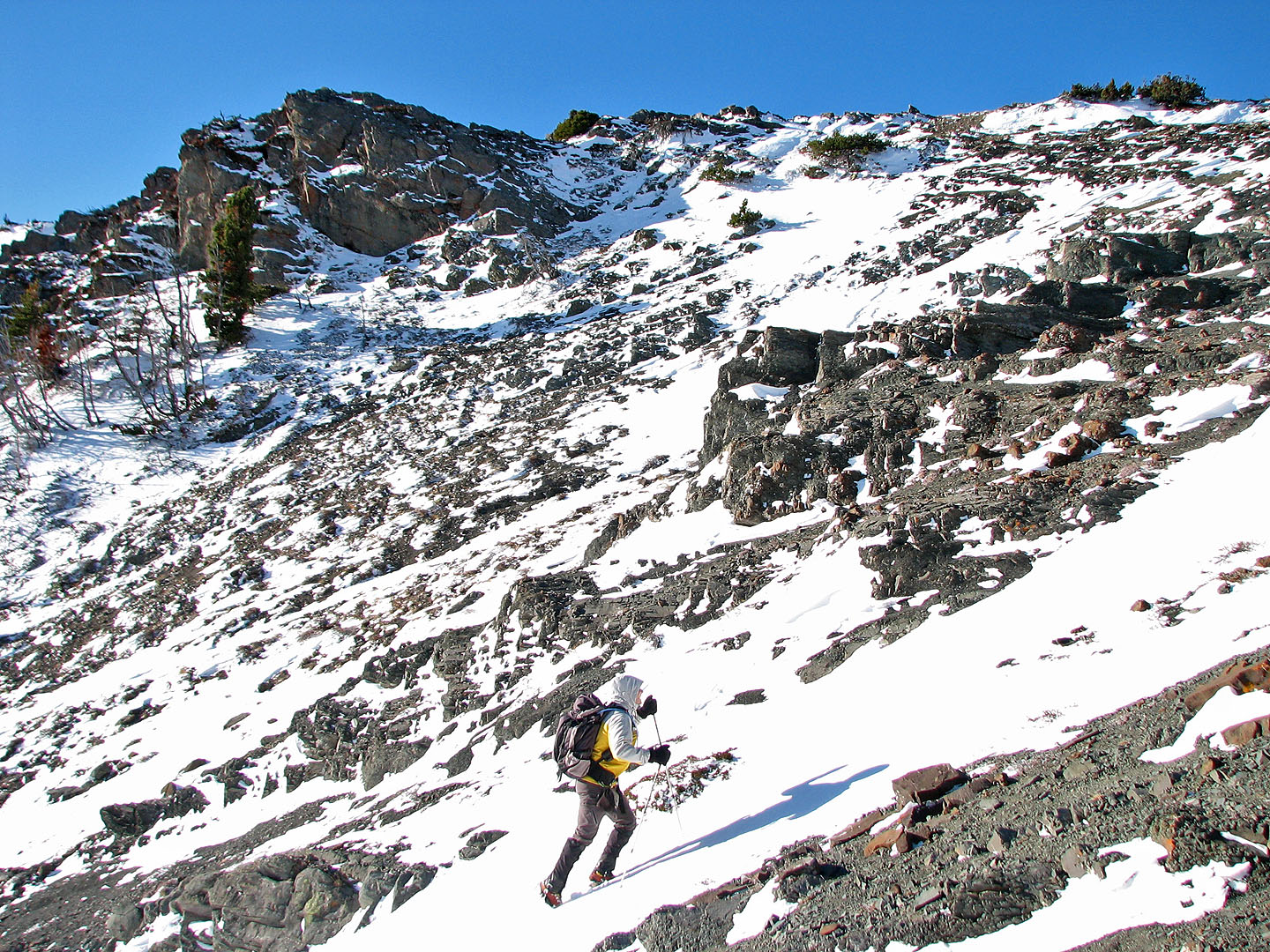
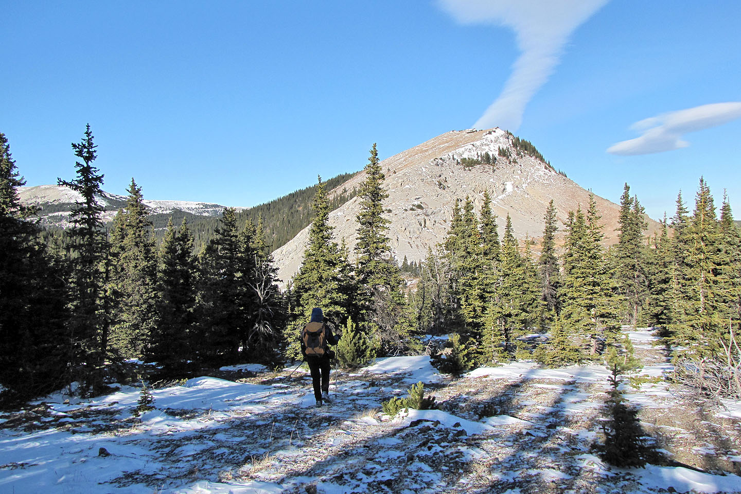
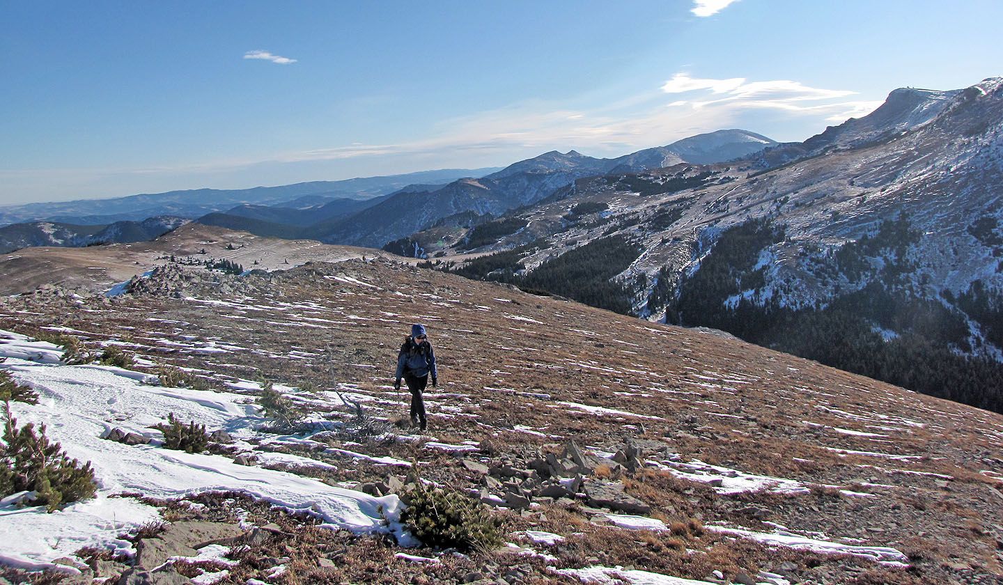
Ascending Iron Creek Mountain.
Plateau Mountain in the background.
We gained the ridge. Iron Lakes Ridge in the background.
Hailstone Butte (mouse over) lies south
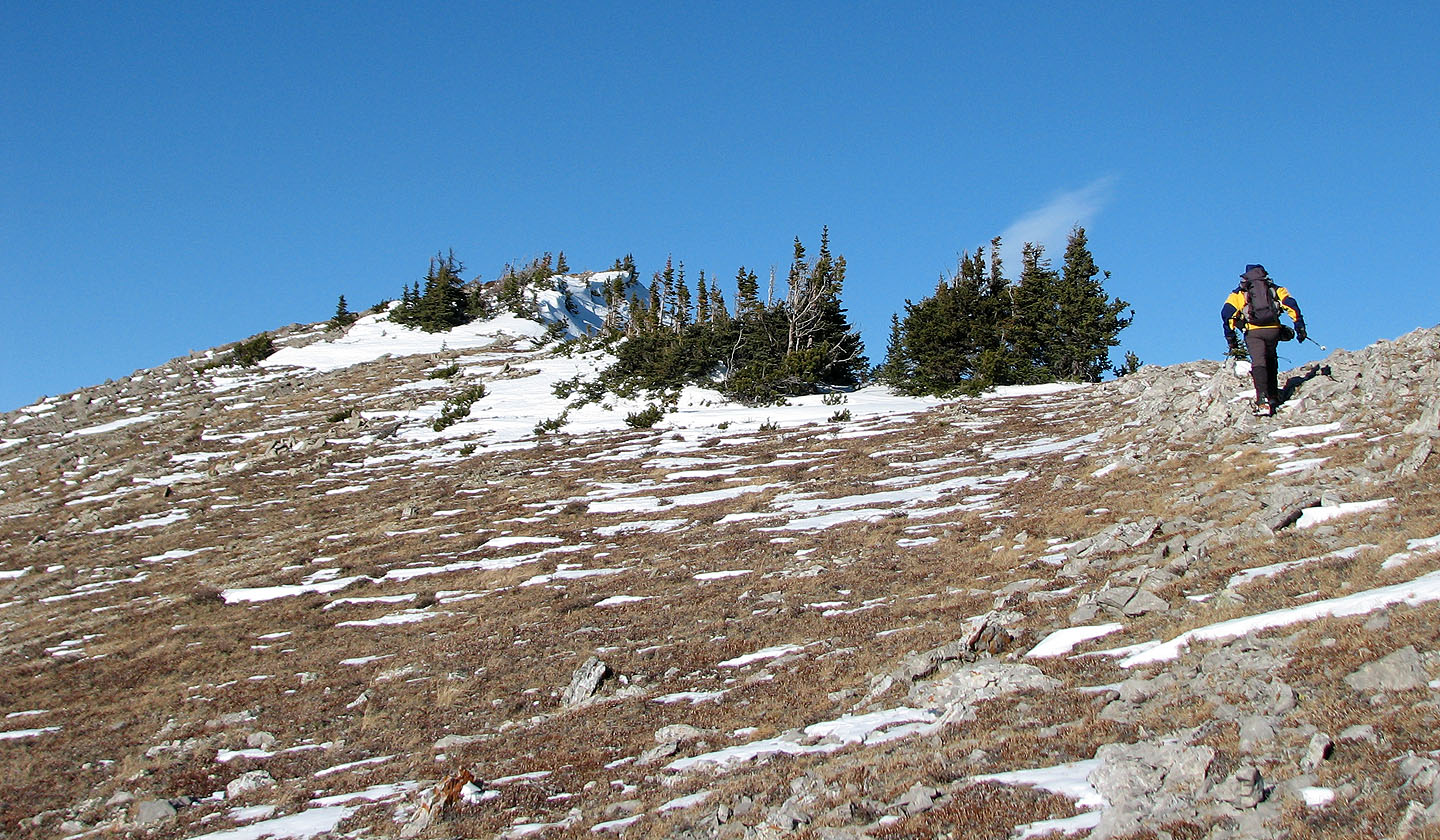
False summit ahead
True summit
Looking southeast, Saddle Mountain in the centre
(mouse over)
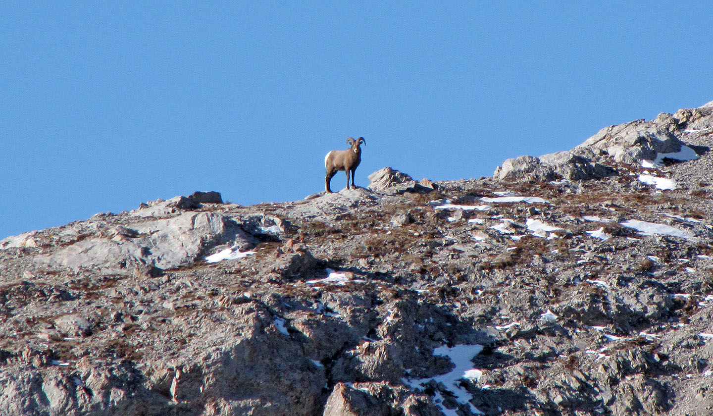
A bighorn sheep watches us from the mountain
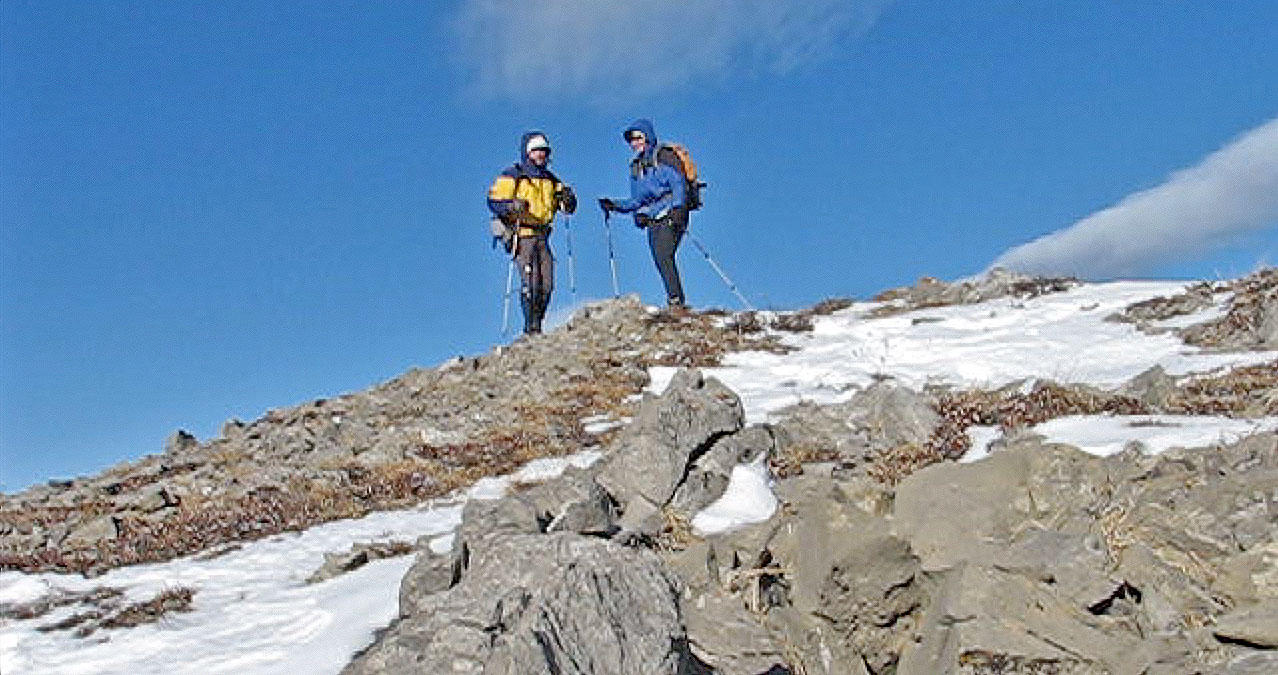
On the summit
Heading back to the saddle
Looking back from the pass
82 J/1 Langford Creek