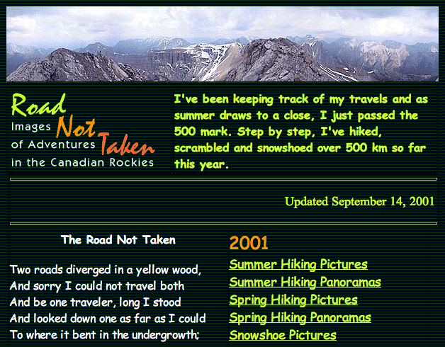
Launched in 2001, I wanted to showcase the excitement of scrambling in the Canadian Rockies. Initially a novelty with few photos and minimal text, it aimed to entice rather than inform. As a novice scrambler, I could only share photos, but I later explored new routes, added trip descriptions, and instructive photos. In 2005, I acquired a domain name and signed up for web hosting, eventually settling on its current format.
GPS Tracks
I first heard about GPS receivers in the ‘90s, but the U.S. Military restricted civilian use to 100 m accuracy, making it impractical for routefinding. After relaxing its position in May 2000, accuracy narrowed to 20 m. In 2003, I began adding maps to my web pages.
Google Earth, launched in 2005, allowed users to place GPS tracks on 3D mountain images and study them from any angle. Though few hikers had GPS receivers then, anyone with Internet access could use it. I started adding Google Earth (KML) tracks to my trip reports.
I didn’t expect anyone to want to use an entire track to find their way up a mountain, but someone requested a GPX track because they couldn’t convert KML to GPX. So I started including both formats. GPS use grew, and I began receiving requests for tracks from my earlier trips. I added tracks to most of my older postings.
My tracks are edited and extraneous points removed, as there’s no point in following them whether I’ve gone off-route accidentally or intentionally. Sometimes I only use my descent tracks on out-and-back trips.
Caution
GPS tracks don’t replace experience and common sense. One scrambler tried following my Mount Kidd track in winter when I climbed it in the summer. He fell, was seriously injured, and had to be heli-rescued. Years later, he recognised me while hiking in Banff and was happy to meet me. He had recovered and resumed hiking, albeit more cautiously.
Trip Statistics
I record the summit elevation and height gain, which is the difference between the lowest and highest points reached. In 2023, I started including cumulative elevation gain. I’ve always posted my figures, but they may be inaccurate due to the limitations of early GPS receivers. The trip time reflects the total time of the trip. Total elevation gain is a recent development, and the numbers should be taken with a grain of salt. It can vary among participants with the same app on the same trip and wildly with different apps.
Videos
For several years, I produced short videos of my trips, but they were time-consuming.
Competing with routefinding and photo-taking while hiking, I often ended up with insufficient footage.
Back home, I spent hours compiling clips and adding voice-overs. The little feedback I received indicated
my videos weren’t popular. In 2012 I stopped producing movies that summarised my trips.
Not a One-Man Show
This website is a collaborative effort. Dinah contributes trip photos and proofreads my text. Readers
suggest and correct my work. Book and website authors inspire me with ideas. Reading complimentary emails
and seeing references to my web pages motivates me to carefully write my trips reports.
Home
|