bobspirko.ca | Home | Canada Trips | US Trips | Hiking | Snowshoeing | MAP | About
Johnson Creek Ridge
Kananaskis, Alberta
February 2, 2013
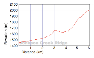
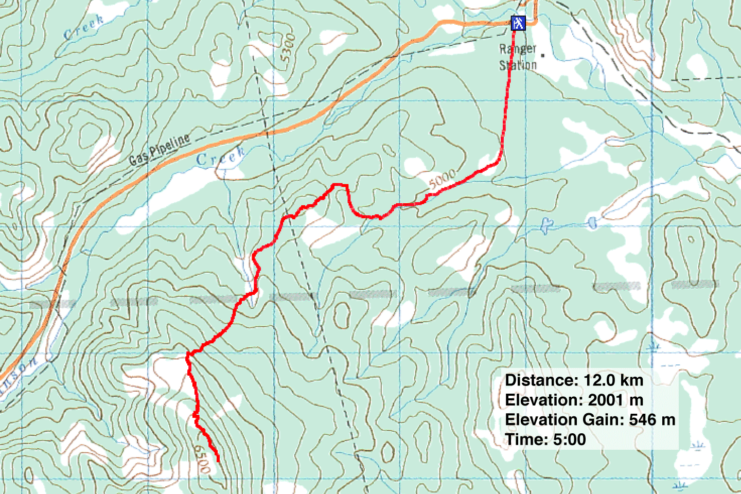
Distance: 12.0 km (7.5 mi)
Cumulative Elevation Gain: 599 m (1965 ft)
Winter hikes in the foothills are usually bland affairs, but once in a while, I find a trip that is surprising, filled with adventure. However, this isn't one of those trips. Still, the unnamed ridge, the highest point in what Gillean calls the Johnson Creek Hills in Kananaskis Country Trail Guide, has much to offer, including an approach on ATV trails (half the trip was on trails) and sweeping views of the foothills. The approach is longer than the one Gillean suggests, but it avoids wading Johnson Creek. Also, it's not stopped by a winter gate closure.
Dinah and I parked just past the bridge on Hwy 532, near Indian Graves Ridge. We made our way to a gate on our left: the trailhead. The trail runs straight as an arrow for the first kilometre before reaching a clearing where it forks. We continued straight ahead. A kilometre later, the trail split again. We kept right. The trail wended right and climbed over a low ridge, but we wanted to take this ridge to the lower slopes of Johnson Creek Ridge. So we left the trail and followed the ridgeline, easy offtrail stuff, to a cutline where we picked up another ATV trail. After 400 m, it made a sharp right so we left it. The rest of our ascent was offtrail.
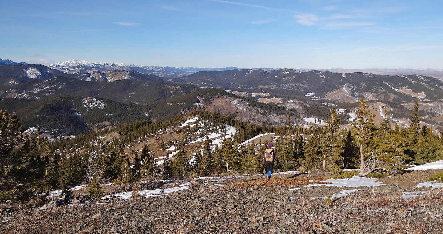
After hiking a short distance in the same general direction (southwest), a deep gully barred the way. This was not surprising, as it shows on the topo map. We stayed on the ridge until the gully rose and drew nearly level with us. We dropped down a bit and crossed the gully at a cutline. The cutline soon ended, but it pointed us in the right direction: up. We encountered few difficulties bushwhacking up the slope, but the snow depth increased as we climbed until we hit knee-deep pockets. When we gained the ridge, the summit lay just 800 m south.
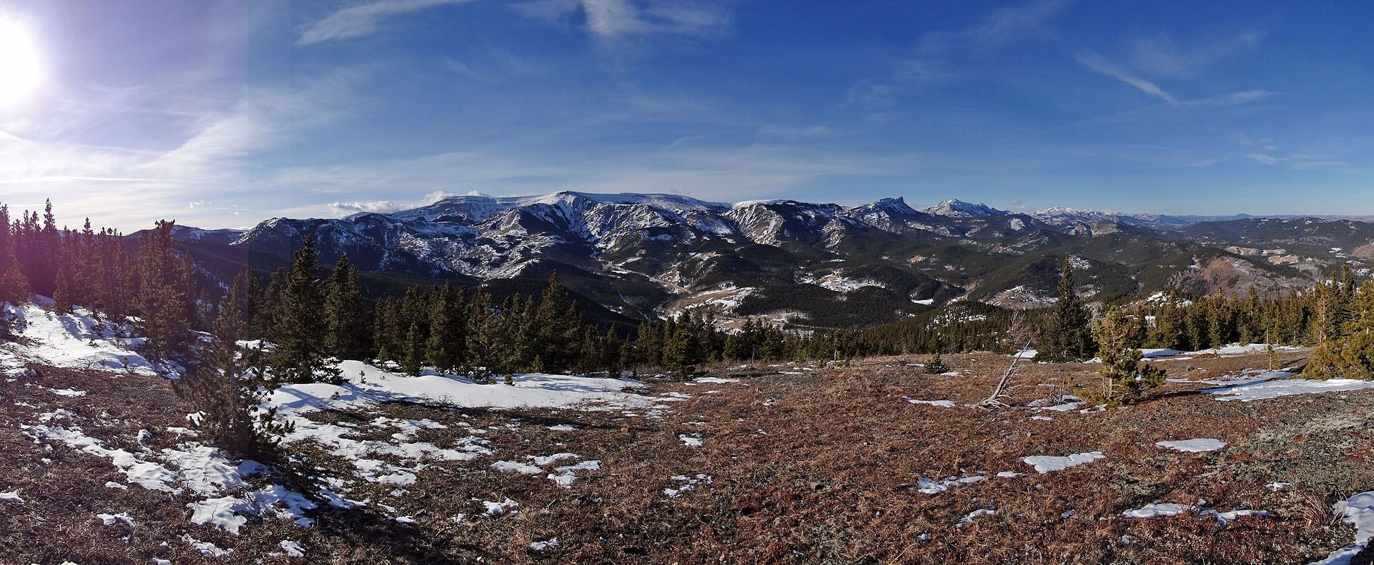
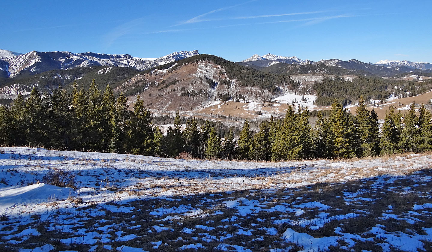
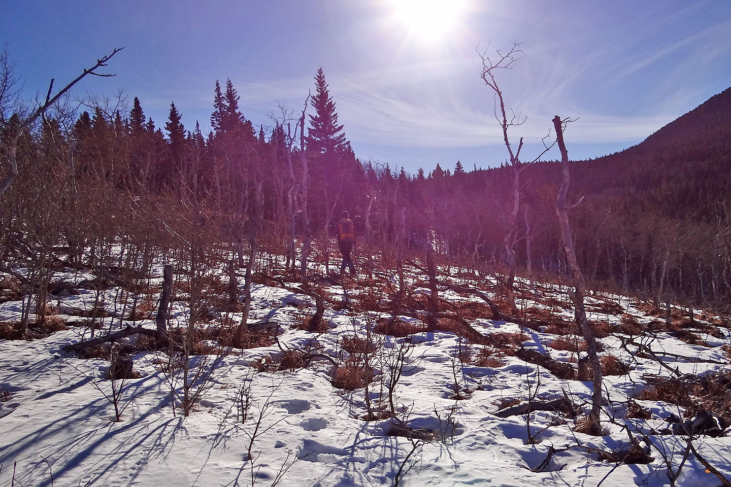
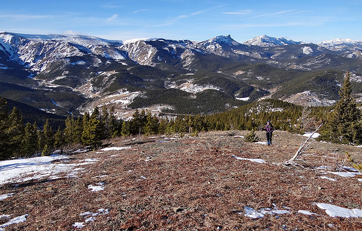
Thankfully that 800 m stretch wasn't solid forest. Huge, windswept expanses of grass and rock broke it up, sparing us the misery of prolonged bushwhacking and postholing. And those same large clearings provided substantial vistas northwest, including Hailstone Butte and Sentinel Peak.
After crossing the last clearing, we entered the forest and found a tiny summit cairn. Because of the trees crowding it, summit views were left to our imagination. Okay, so the summit on Johnson Creek Ridge isn't great, and the journey to it isn't ever likely to be exciting, but we still thought it a pleasant hike considering it was the middle of winter.
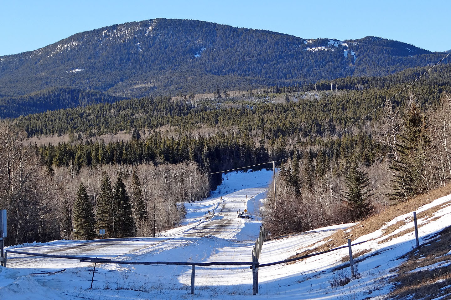
Johnson Creek Ridge from Hwy 532. We parked at the bridge below and gained the ridge
left of the small point on the right.
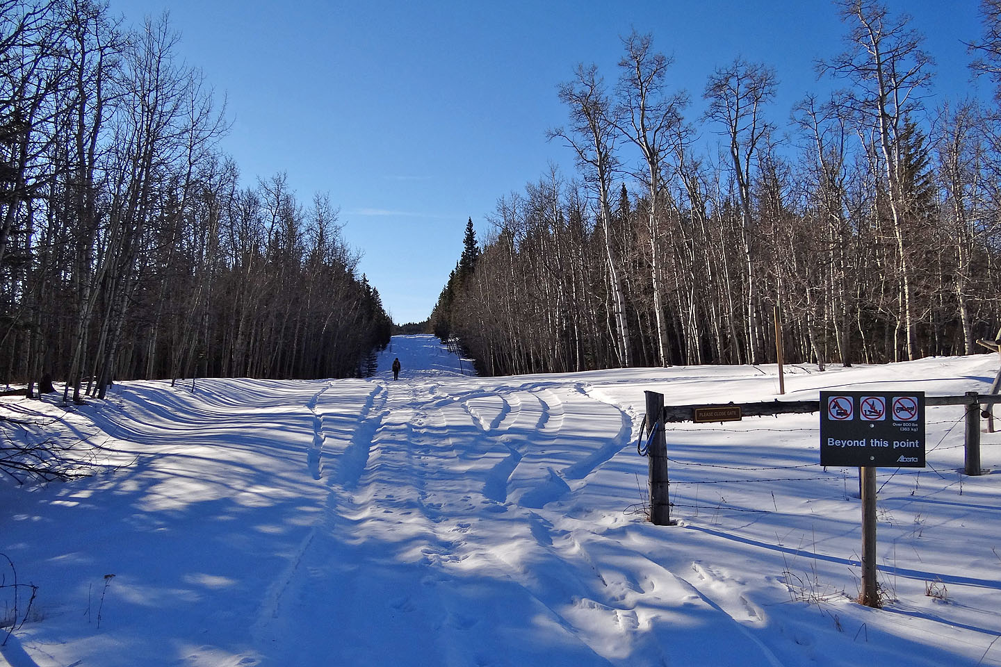
The trailhead
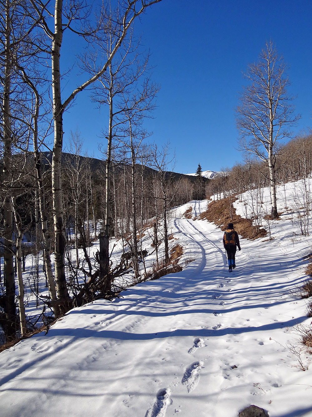
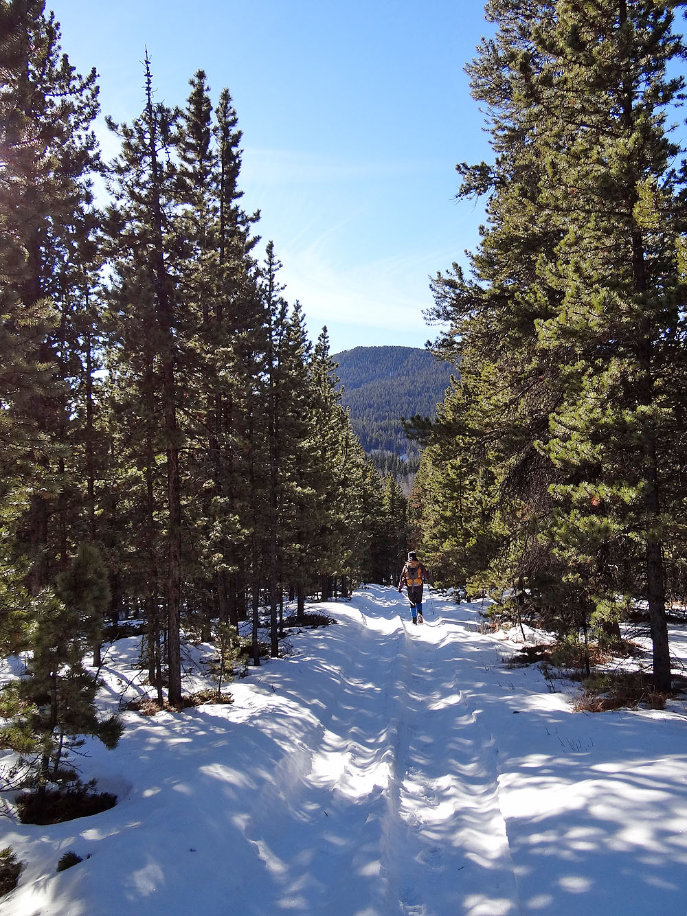
Snowmobilers had kindly pounded down the snow on the trail for us
The trail continues over the ridge, but we left it at the top and followed the ridgeline
left (mouse
over to look back)
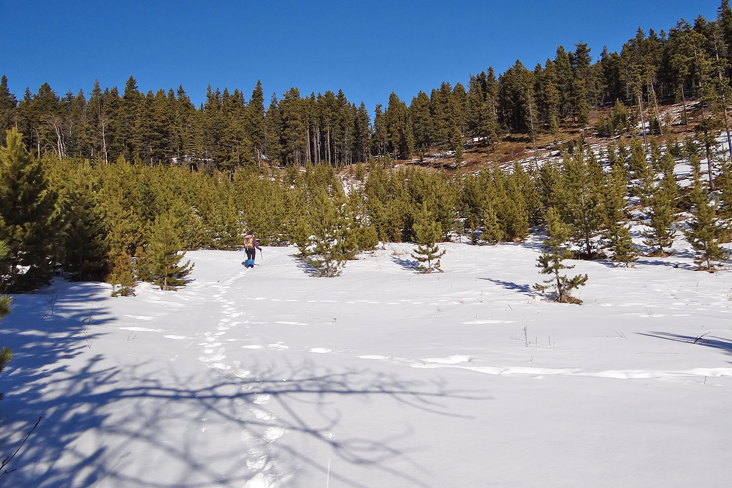
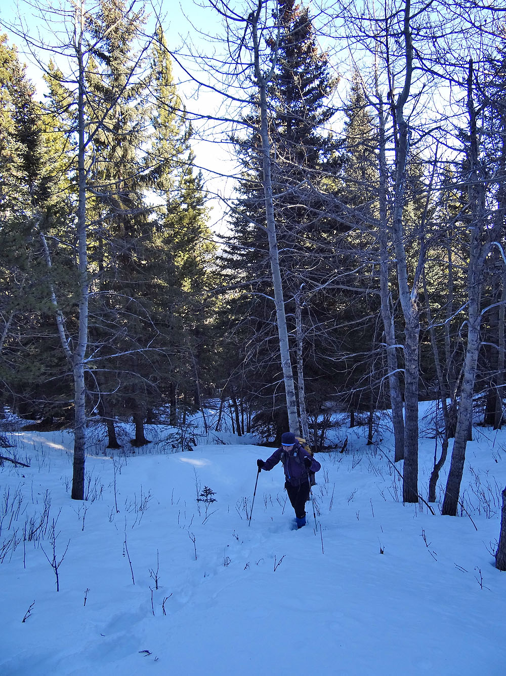
After leaving the trail, Johnson Creek Ridge still appears far away
A break in the trees provides a view northeast, including Corral Mountain (right, mouse over)
At the cutline, we caught another trail but left it when it turns right.
The summit is ahead.
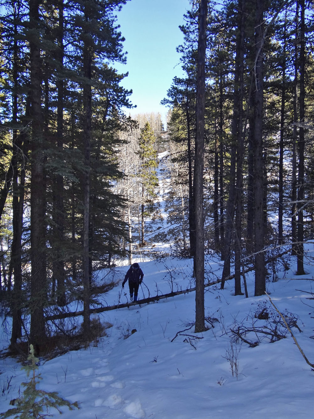
After leaving the trail, we skirted the deep gully on our right until it
became easy to cross
After going around the gully, we started up a cutline
Gentle at first, the slope steepened as we climbed
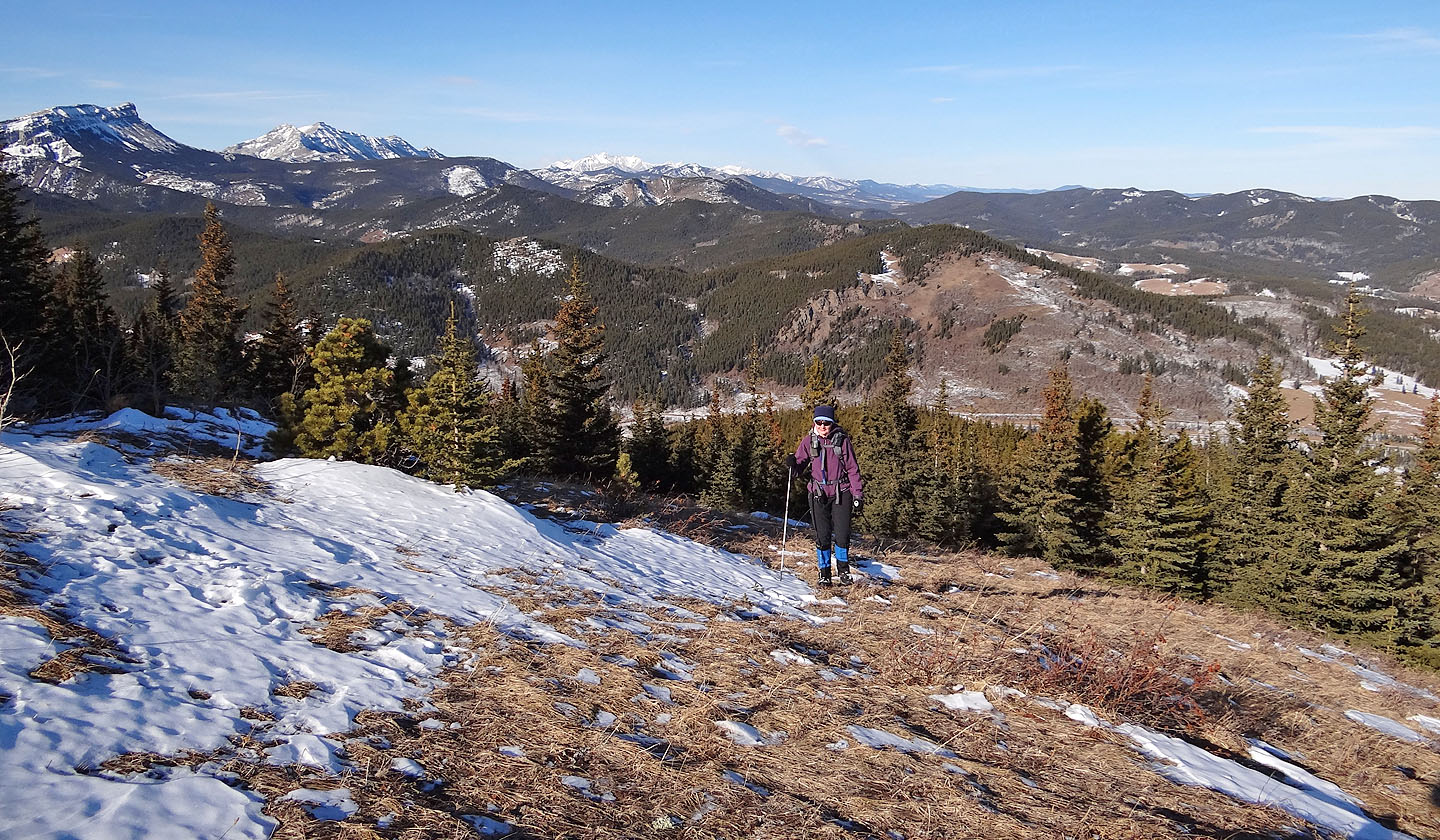
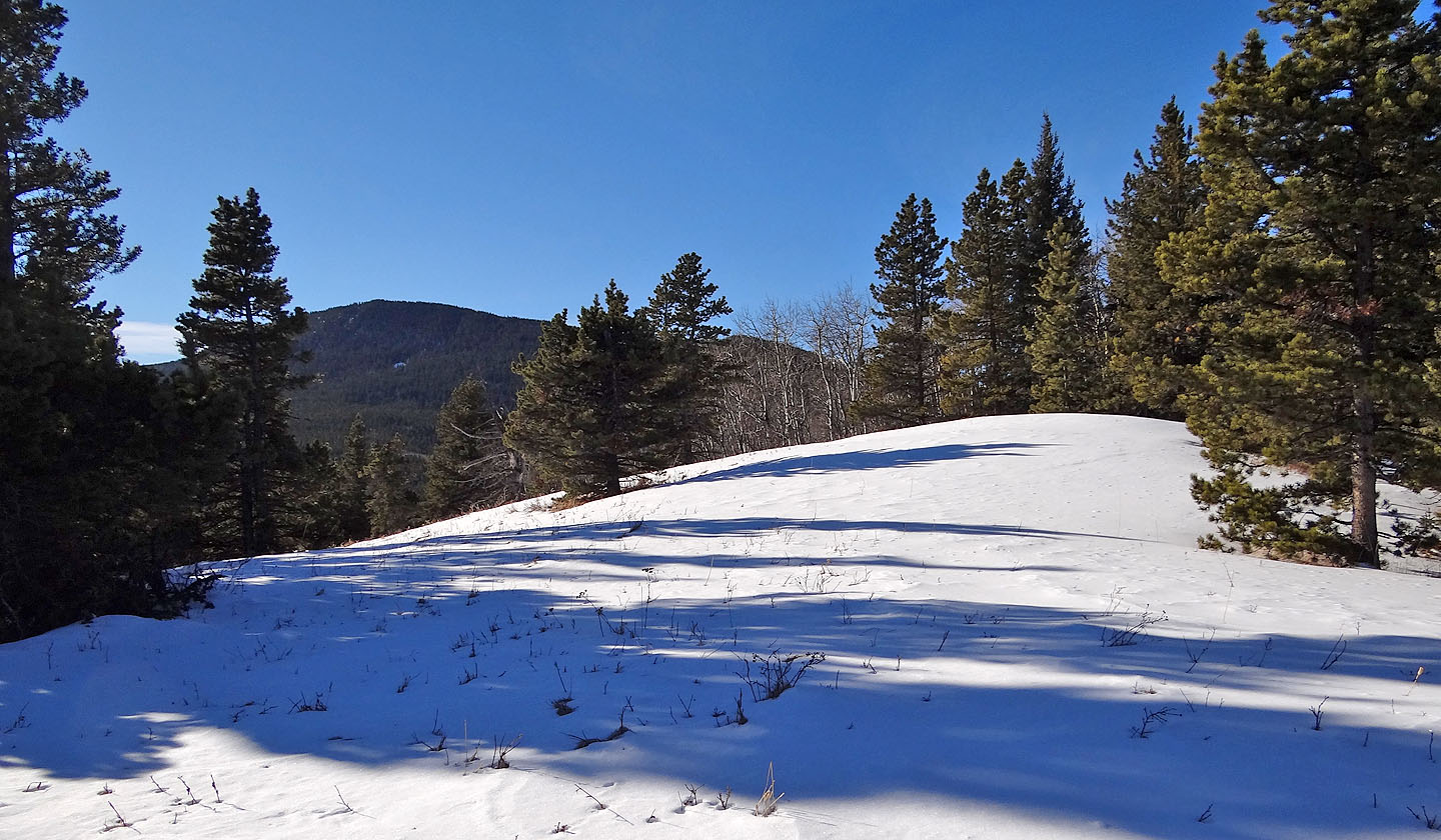
Breaking out into the open on the ridge well before the summit
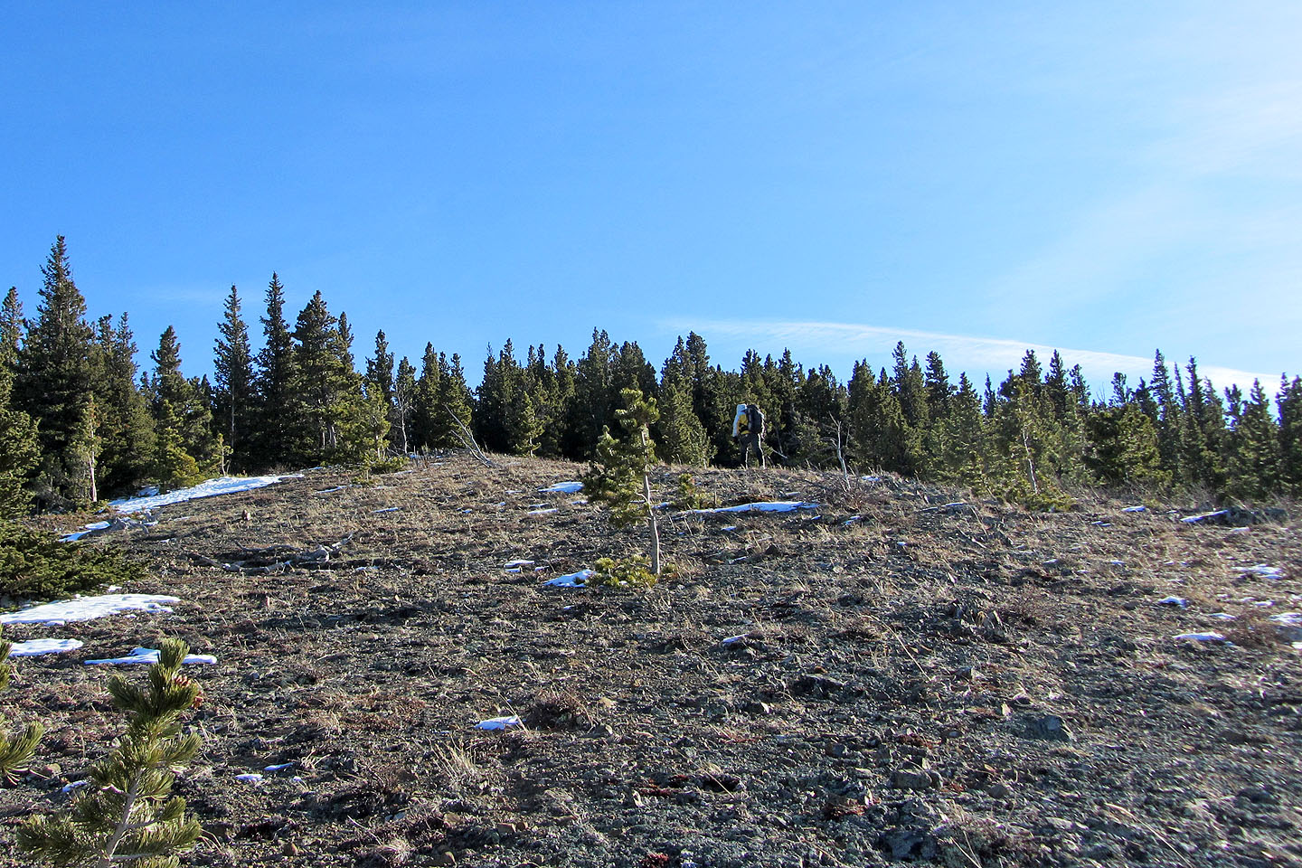
The clearings always ended, forcing us back into the trees
Climber higher, the views only improved
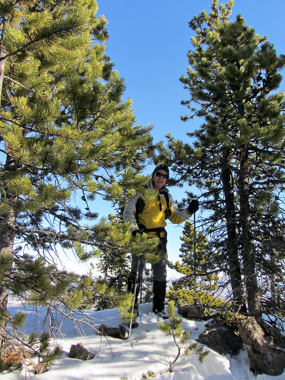
Standing by the summit cairn (under my left pole)
Heading back down
82 J/1 Langford Creek