bobspirko.ca | Home | Canada Trips | US Trips | Hiking | Snowshoeing | MAP | About
Mount Livingstone
Kananaskis, Alberta
May 30, 2020
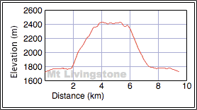
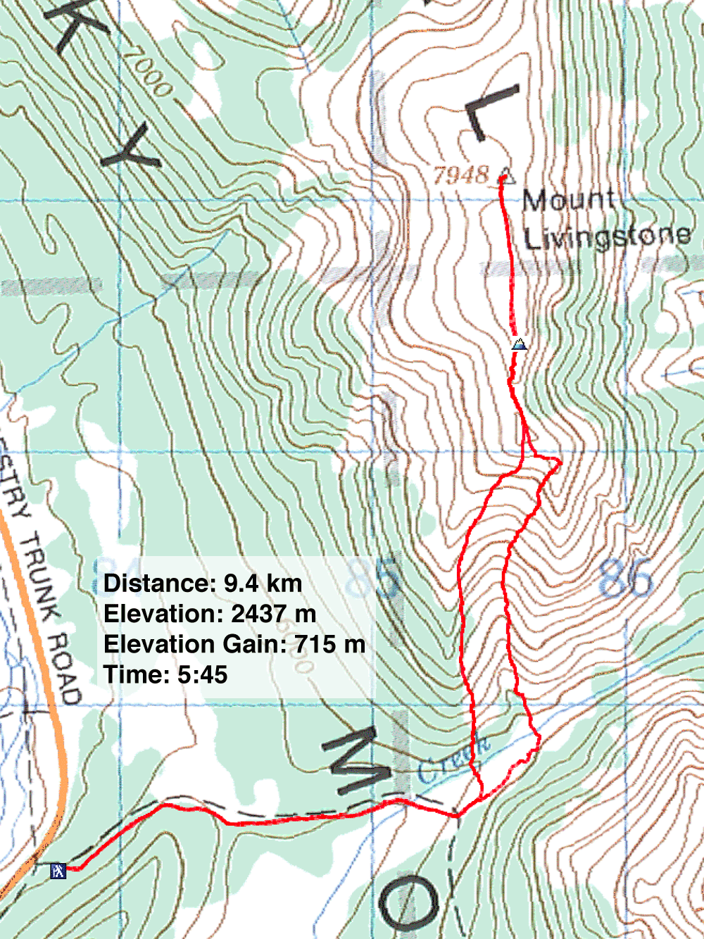
Distance: 9.4 km (5.8 mi)
Cumulative Elevation Gain: 750 m (2461 ft)
When Dinah and I climbed Mount Livingstone in May 2006, it was a serene area; I don't recall seeing vehicles parked along Highway 40 south of Cataract Creek. But driving down the highway 16 years later, I was shocked to see dozens of vehicles along the road, some accompanied by tents or campers.
It's no surprise, then, that vehicles have ravaged the logging road to Mount Livingstone; it's no longer possible to drive a sedan 1.6 km to the foot of Mount Livingstone as we once did. The road is so badly rutted, that we only saw trucks and large SUVs parked at the other end of the road. Zora's Impreza carrying Zora and Kari didn't stand a chance, and I doubt if Dinah and I could have gotten far in her Forester. So we parked at the start of the road and walked to the trailhead.
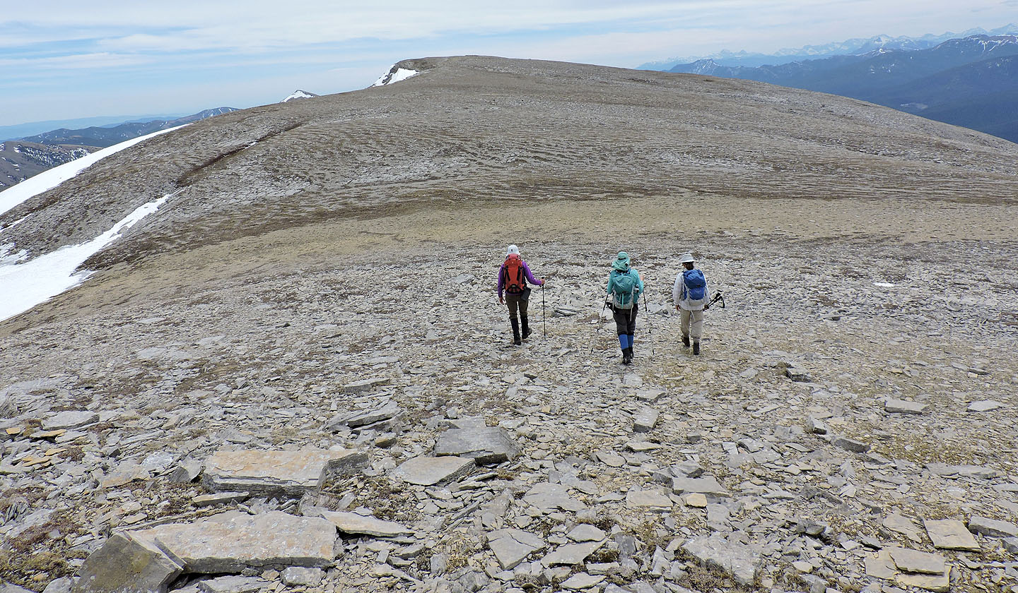
From the usual start, the four of us began hiking the south ridge. Steep and wooded at first, the grade eventually eased and glades appeared that permitted views. Finally, we left the trees behind, traversed a narrow rocky ridge, and started trudging up a long stretch of scree towards the false summit.
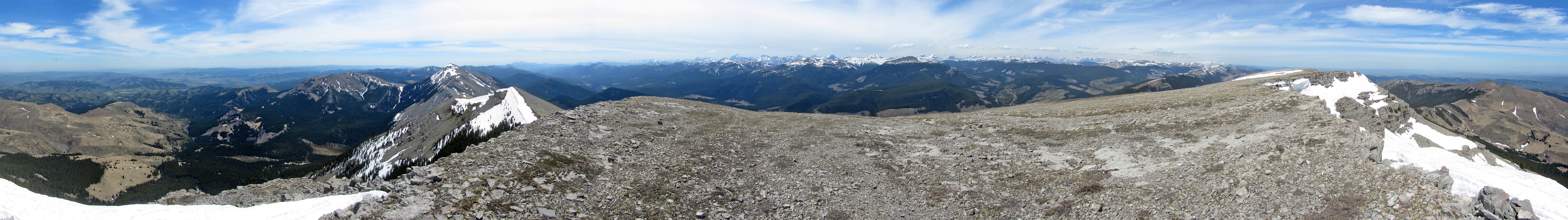
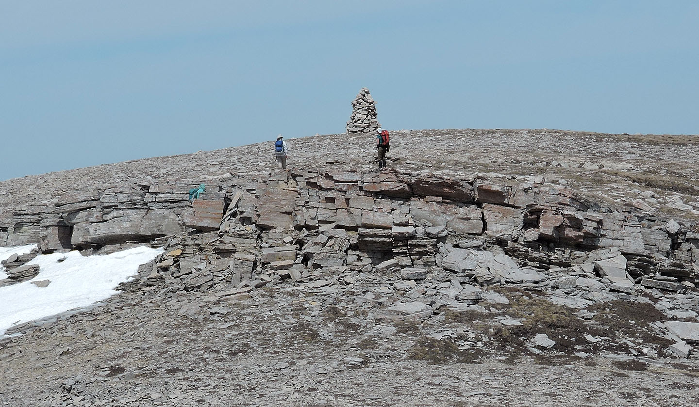
There was no need to climb the false summit: we would catch it on our return trip when we descended a scree gully. So we passed under the false summit and crossed the broad ridge to the gray cliffs guarding the South Summit, the highest point on Mount Livingstone. We easily scrambled up the rocks and were soon standing next to a puny cairn. But this is no place to lounge since on the lower North Summit, a tall cairn and a summit register awaited us.
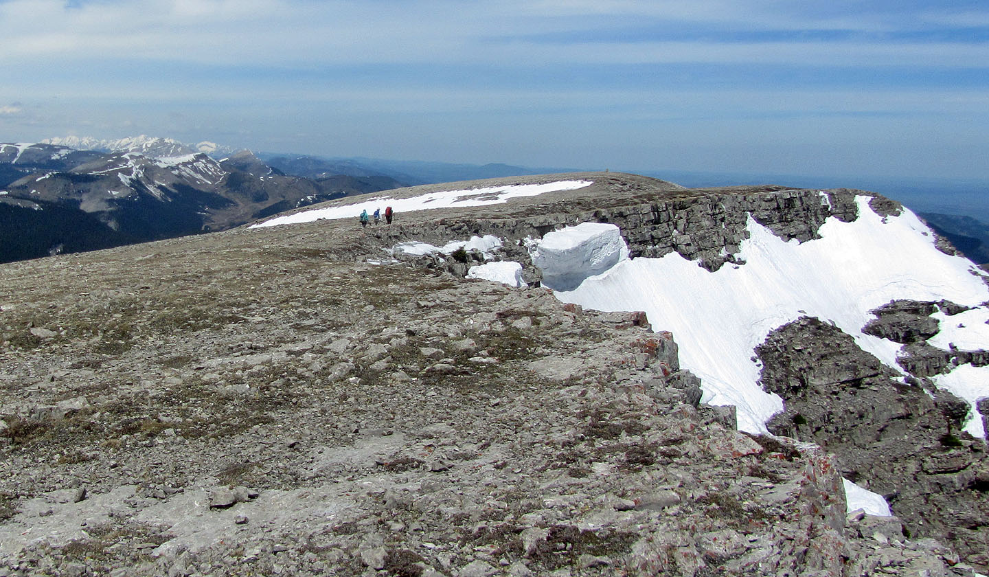
We quickly hiked across the plateau-like ridge, went up a short cliff band and arrived on the North Summit. Here, we took an extended break before heading back over the South Summit and up the false summit.
Briefly following the southeast ridge from the false summit, we scrambled down a short cliff to a long snowdrift that extended to the top of a steep gully – our descent route. We started down a faint trail in the scree until it disappeared. Then we followed a troublesome drainage comprising loose rocks. But at its end, we were a short distance from the road. While walking back along the road to our cars, dirt bikes and a truck passed us, a reminder that Mount Livingstone has lost its solitude.
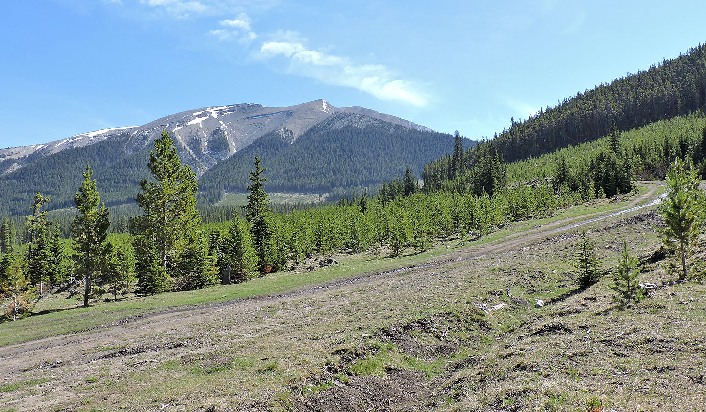
Mount Livingstone seen from the start of the logging road. The South Summit and the false summit are visible.
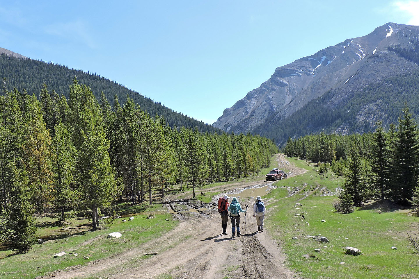
While hiking up the road, a Jeep hauling a trailer passed us earlier only to turn around and come back
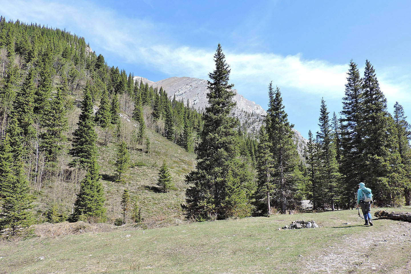
From the usual trailhead, we started up the south ridge
After a steep climb in trees, we started finding clearings
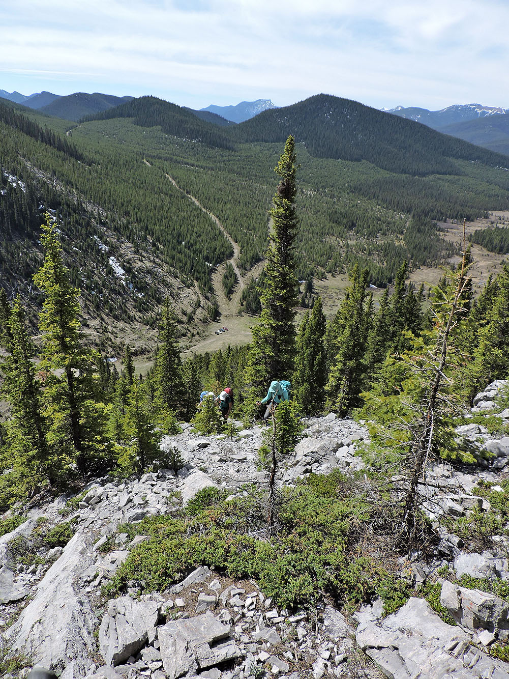
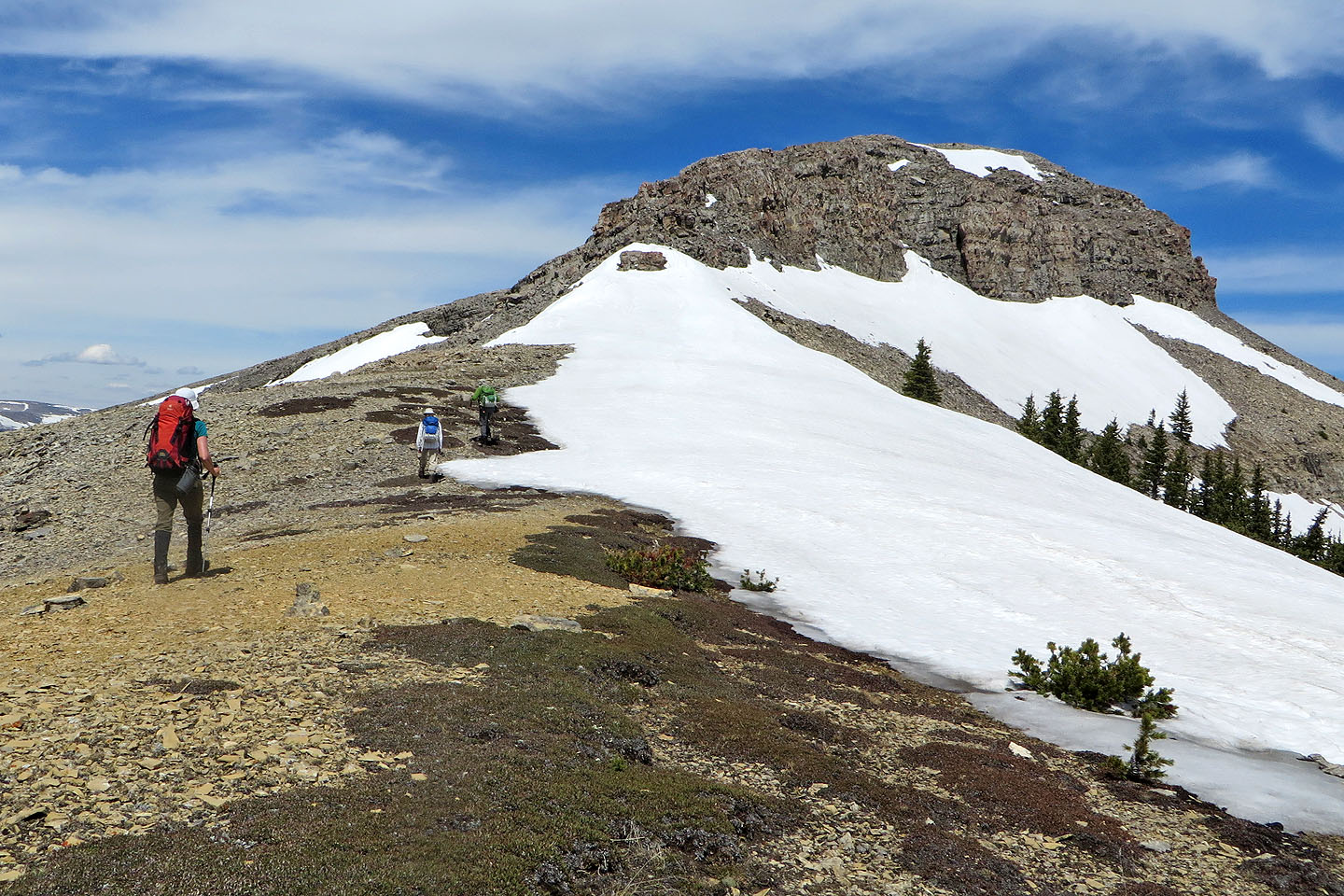
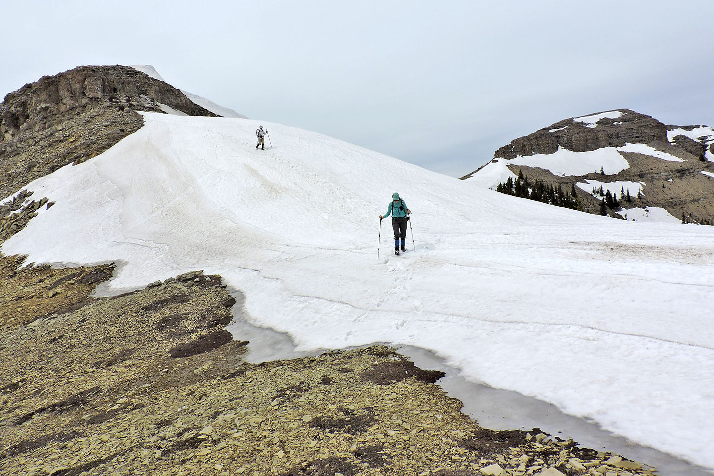
We can see the false summit and the descent gully
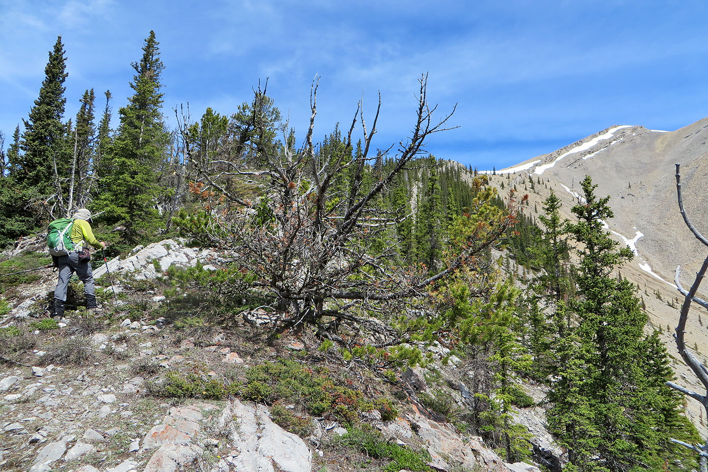
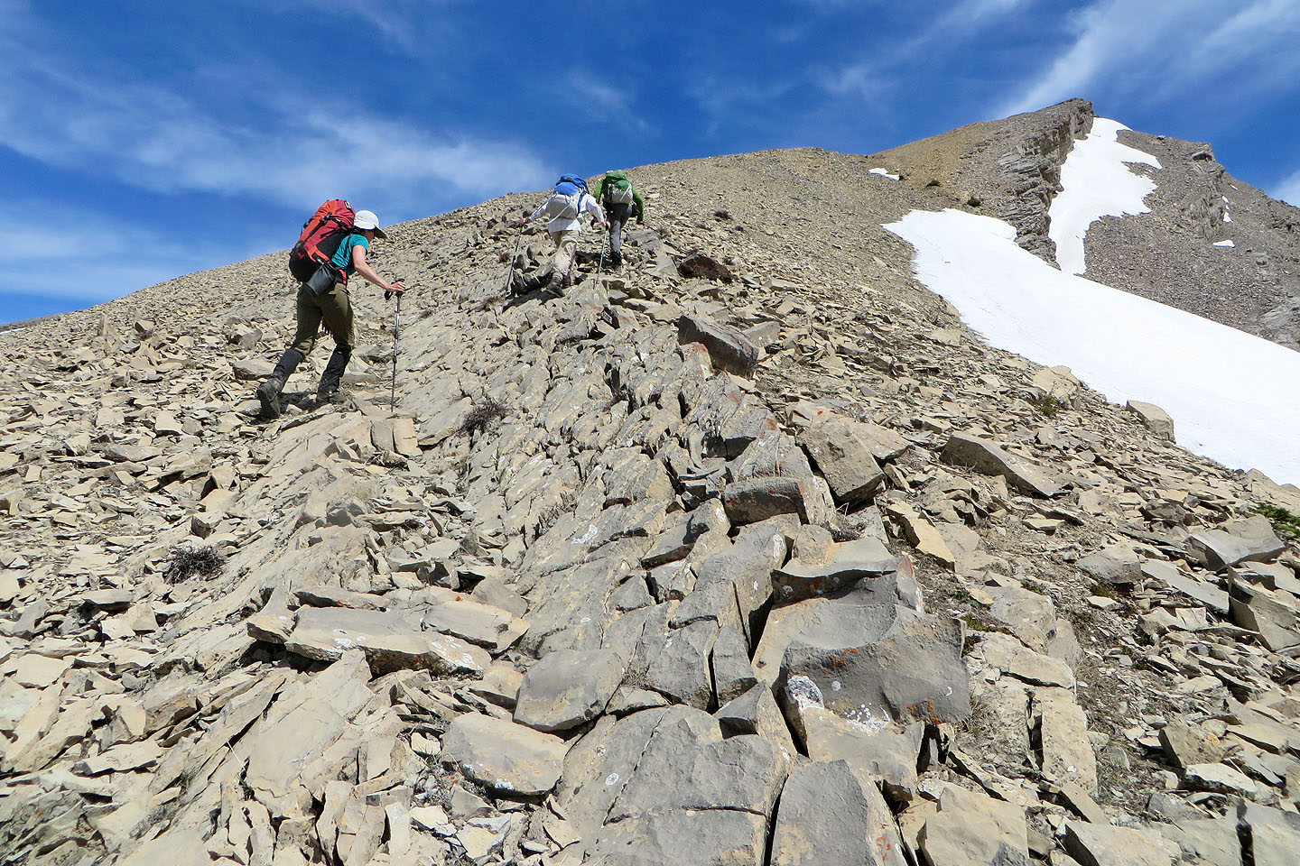
The terrain varies on the ridge crest
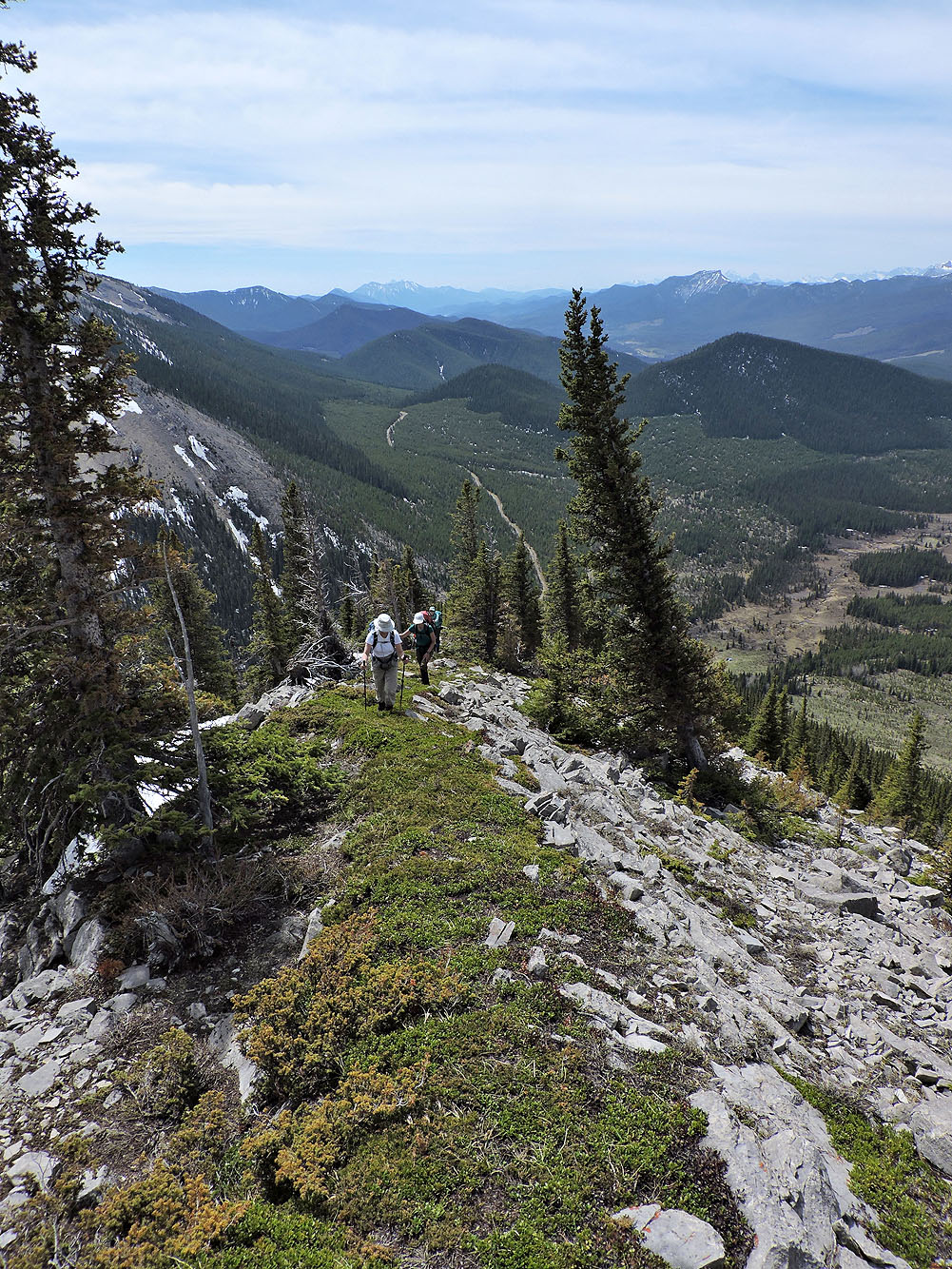
Looking back from a clearing
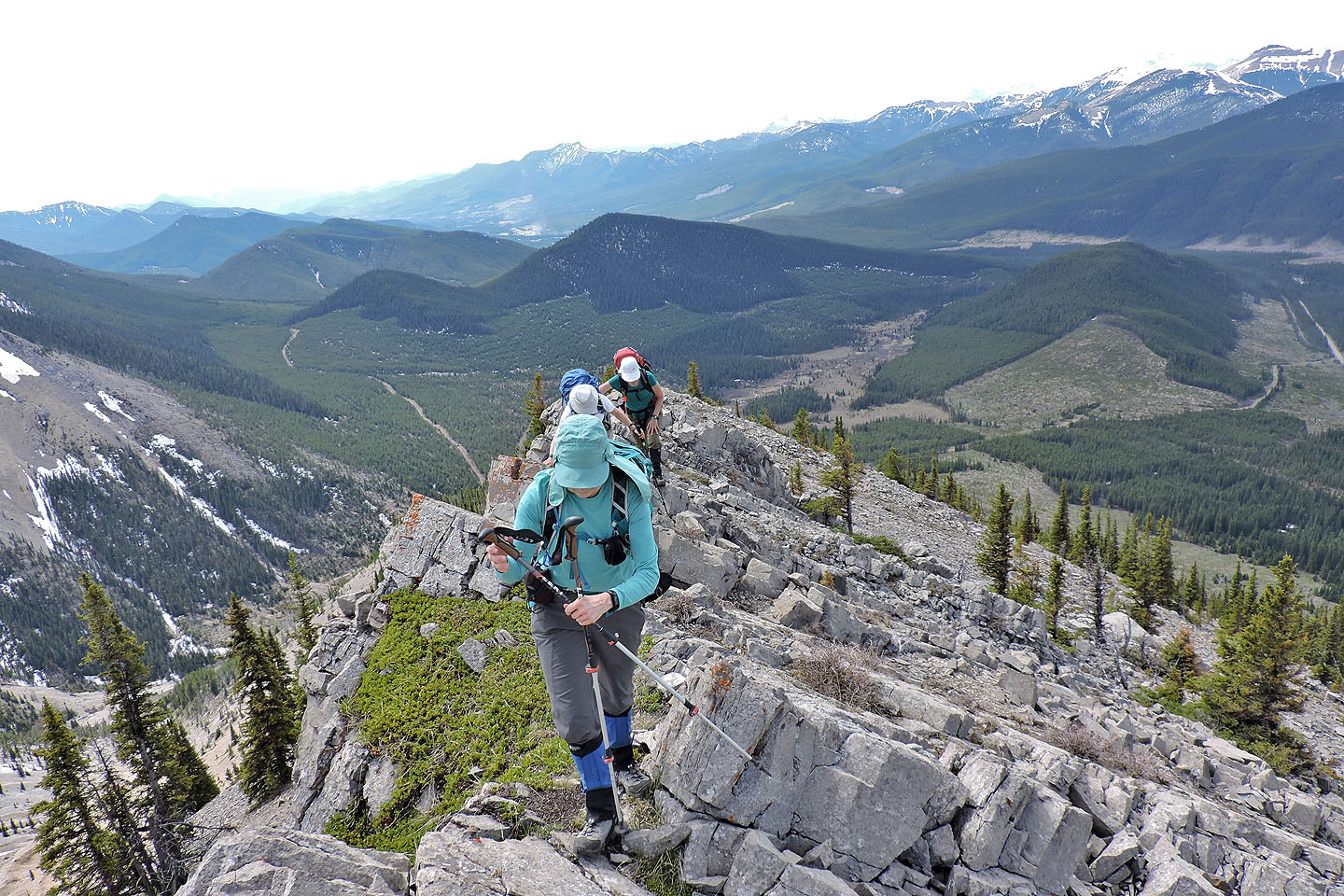
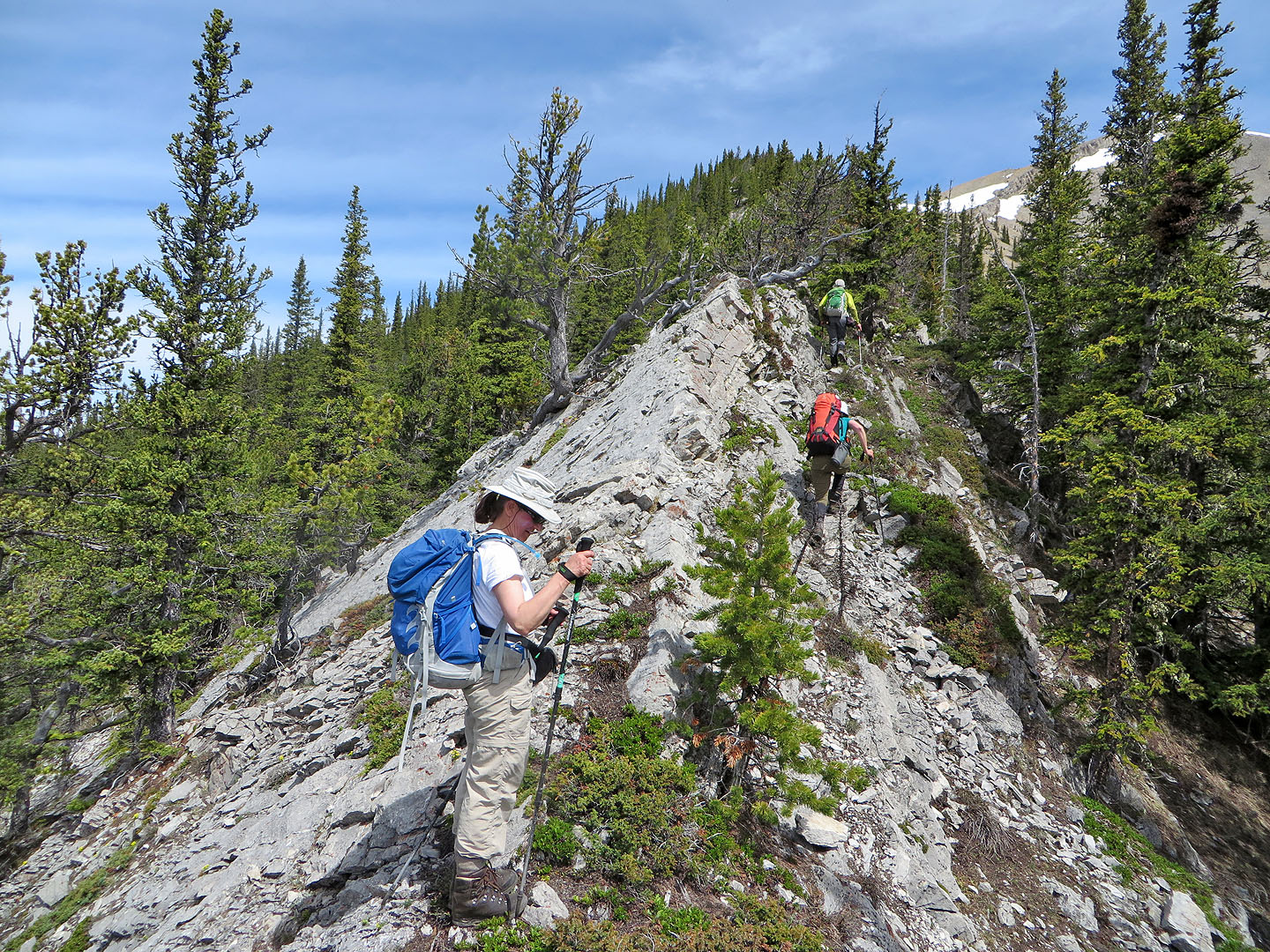
We crossed a brief, narrow section
The ridge appears to end abruptly ...
...but is easily descended
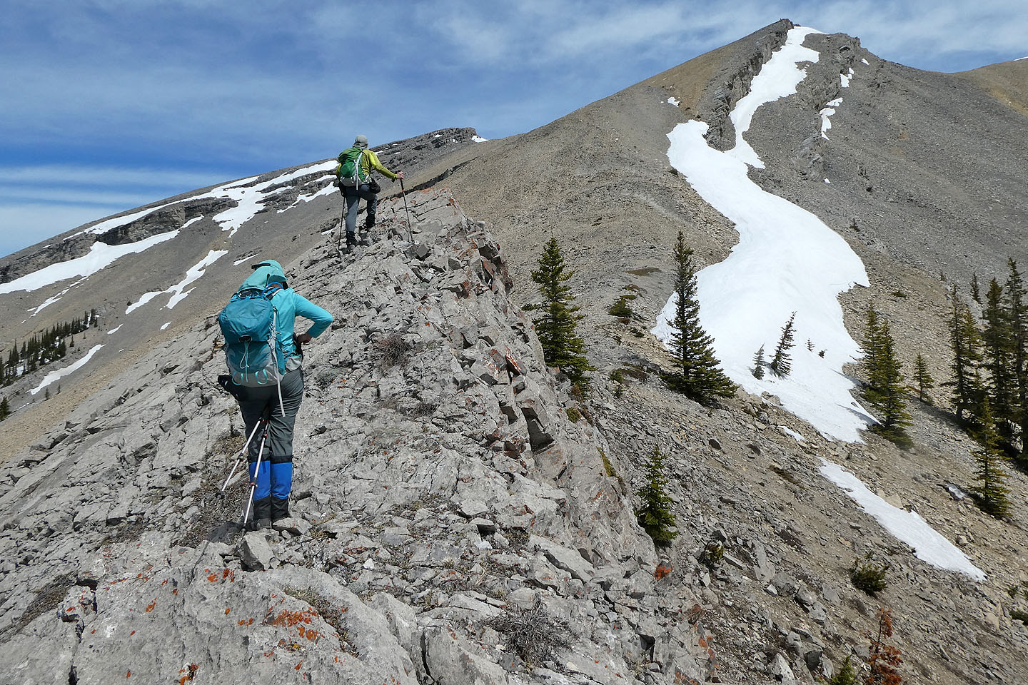
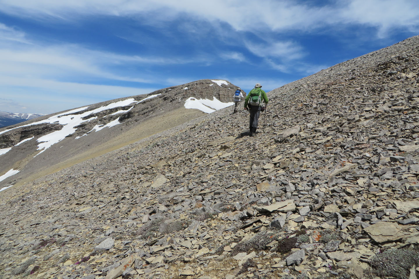
Heading toward the false summit
Looking back at the ascent ridge
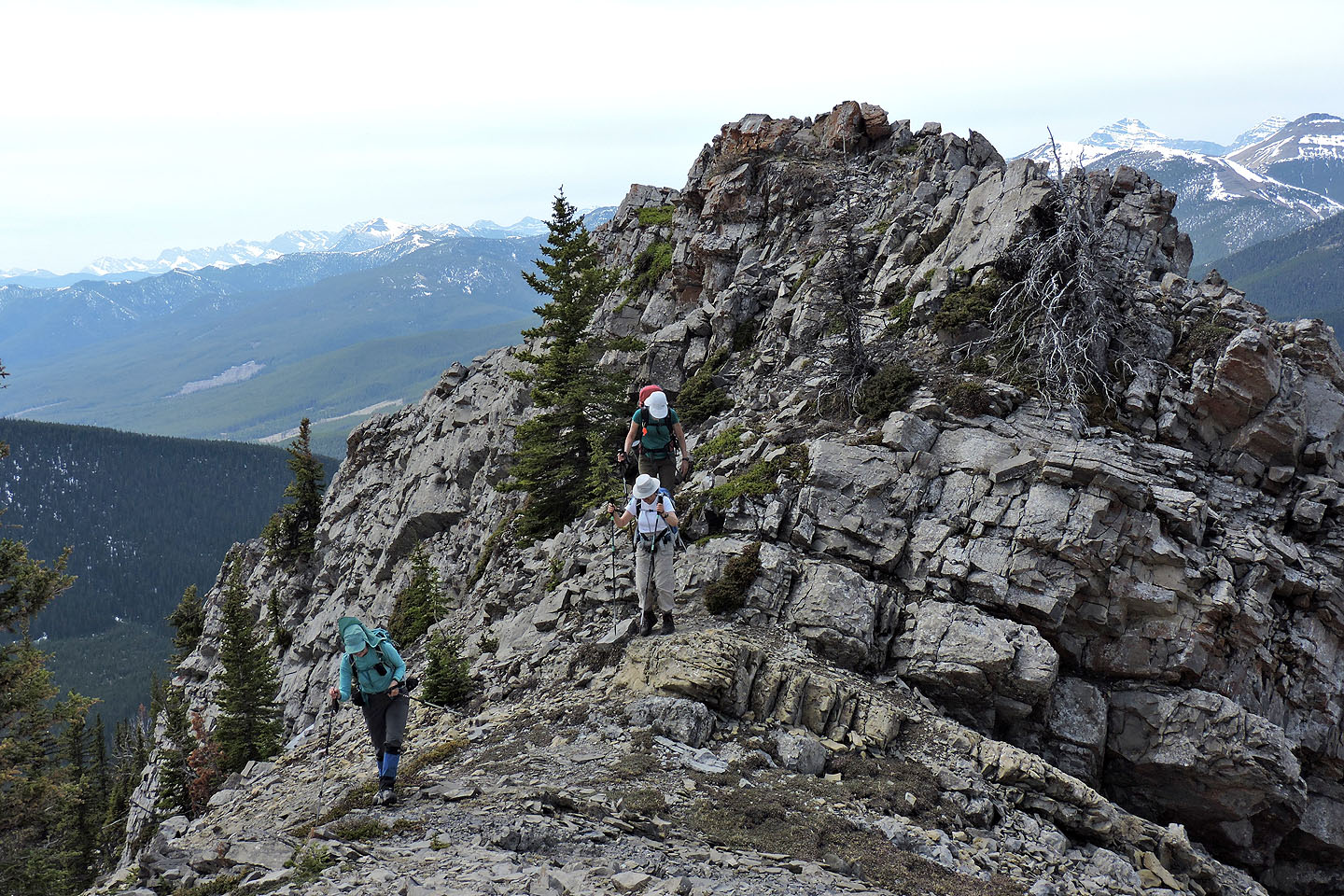
We cut below the false summit and headed to the south summit
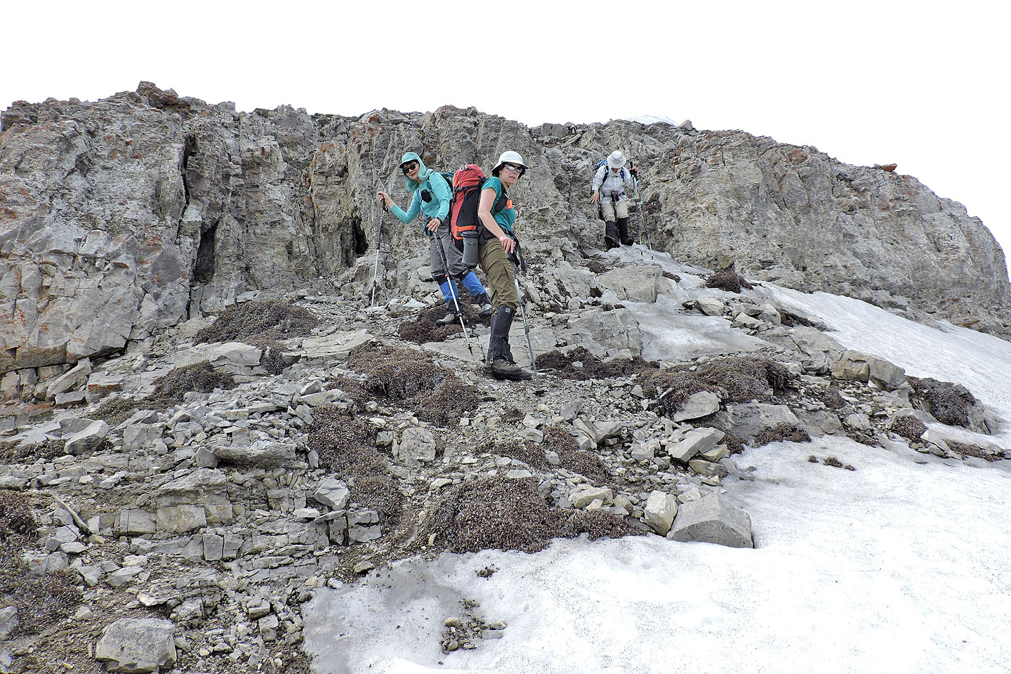
Approaching the cliffs guarding the summit
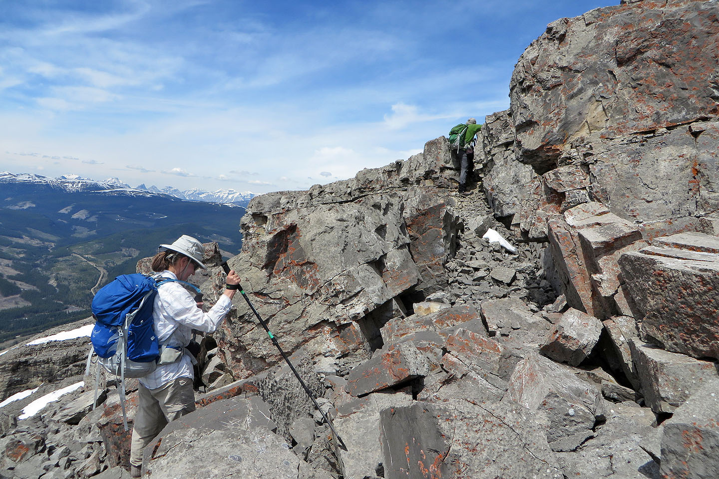
Navigating up the rocks
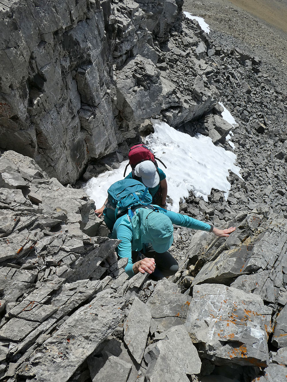
We easily scrambled up short pitches
The false summit is left
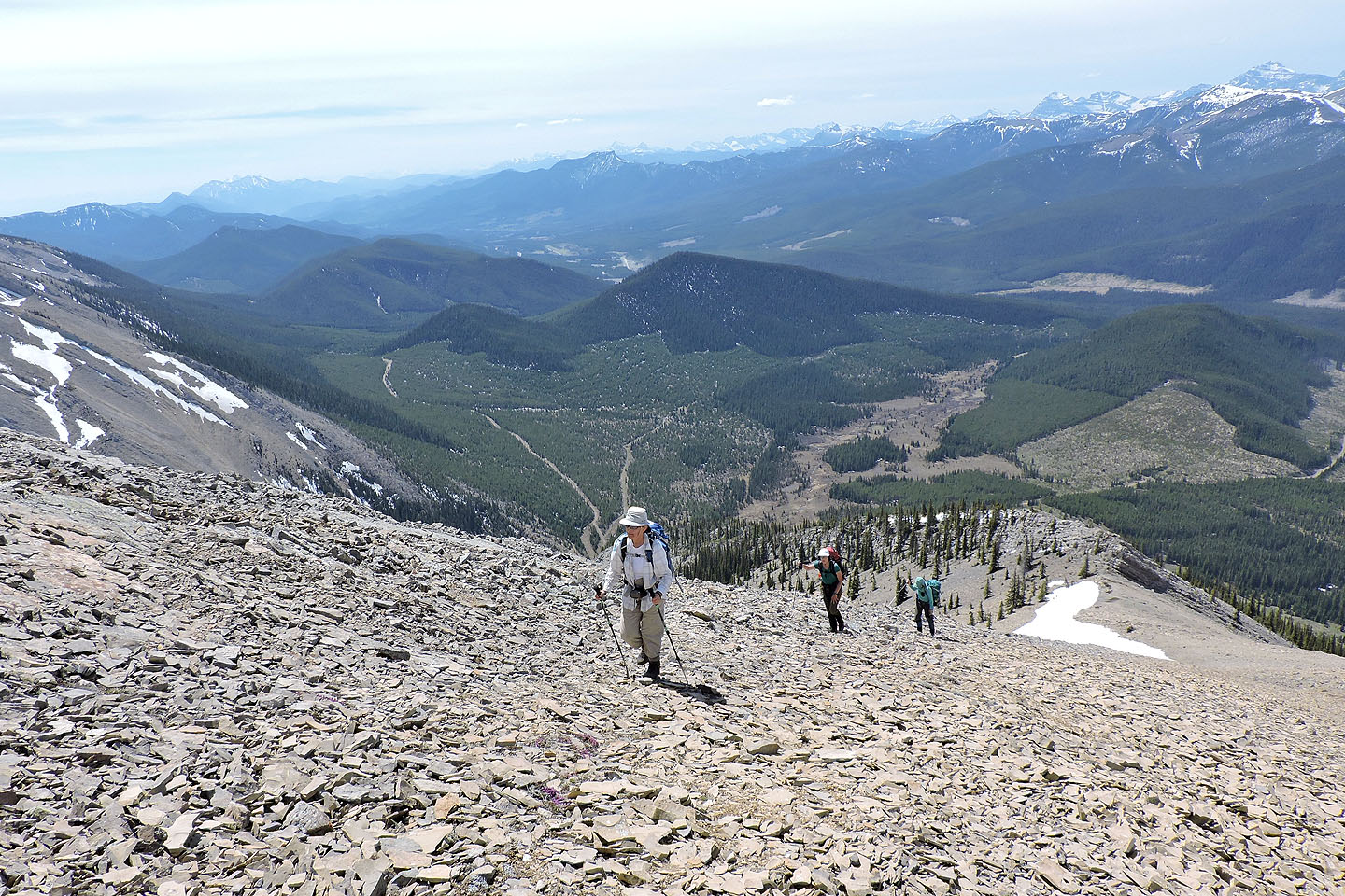
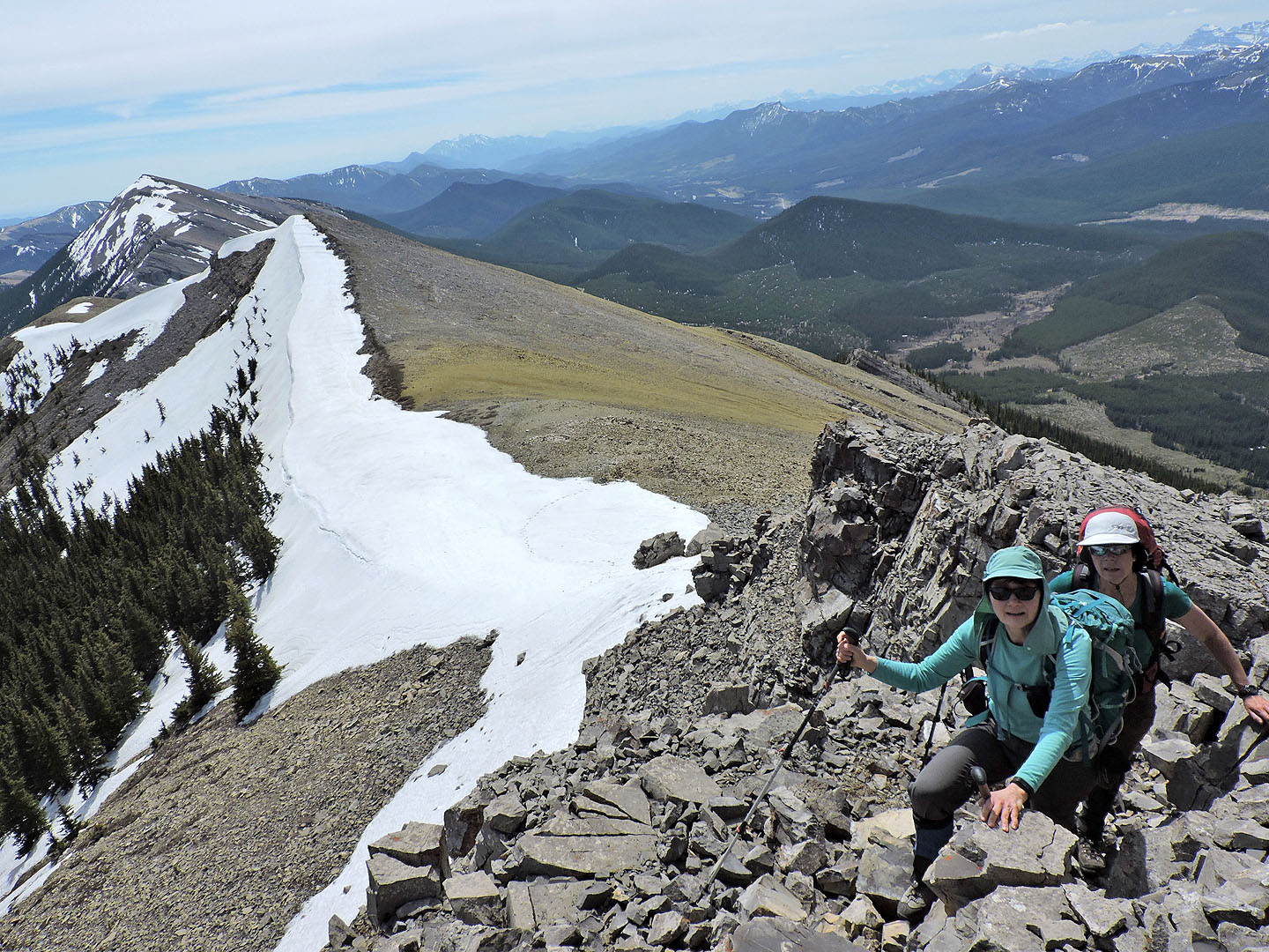
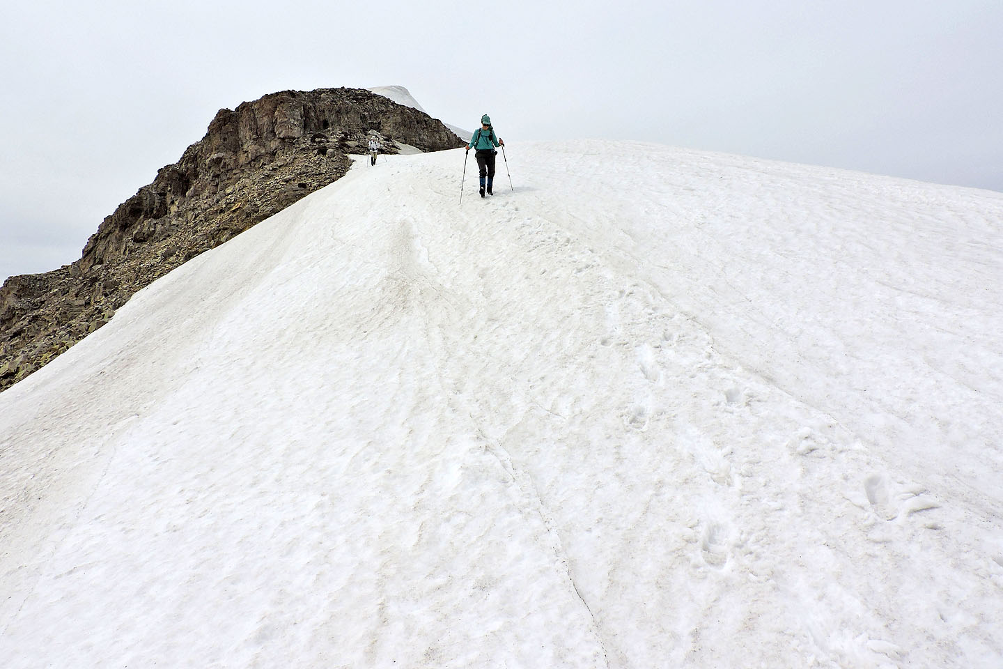
From the south summit, we made our way to the north summit
We walked up a break in the minor cliff band near the top
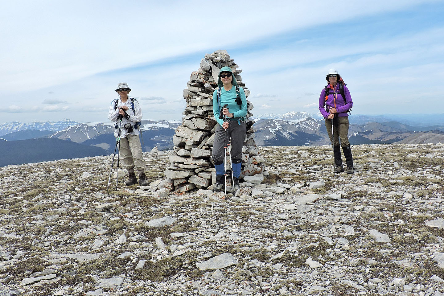
Zora, Dinah and Kari pose by the huge cairn on the north summit
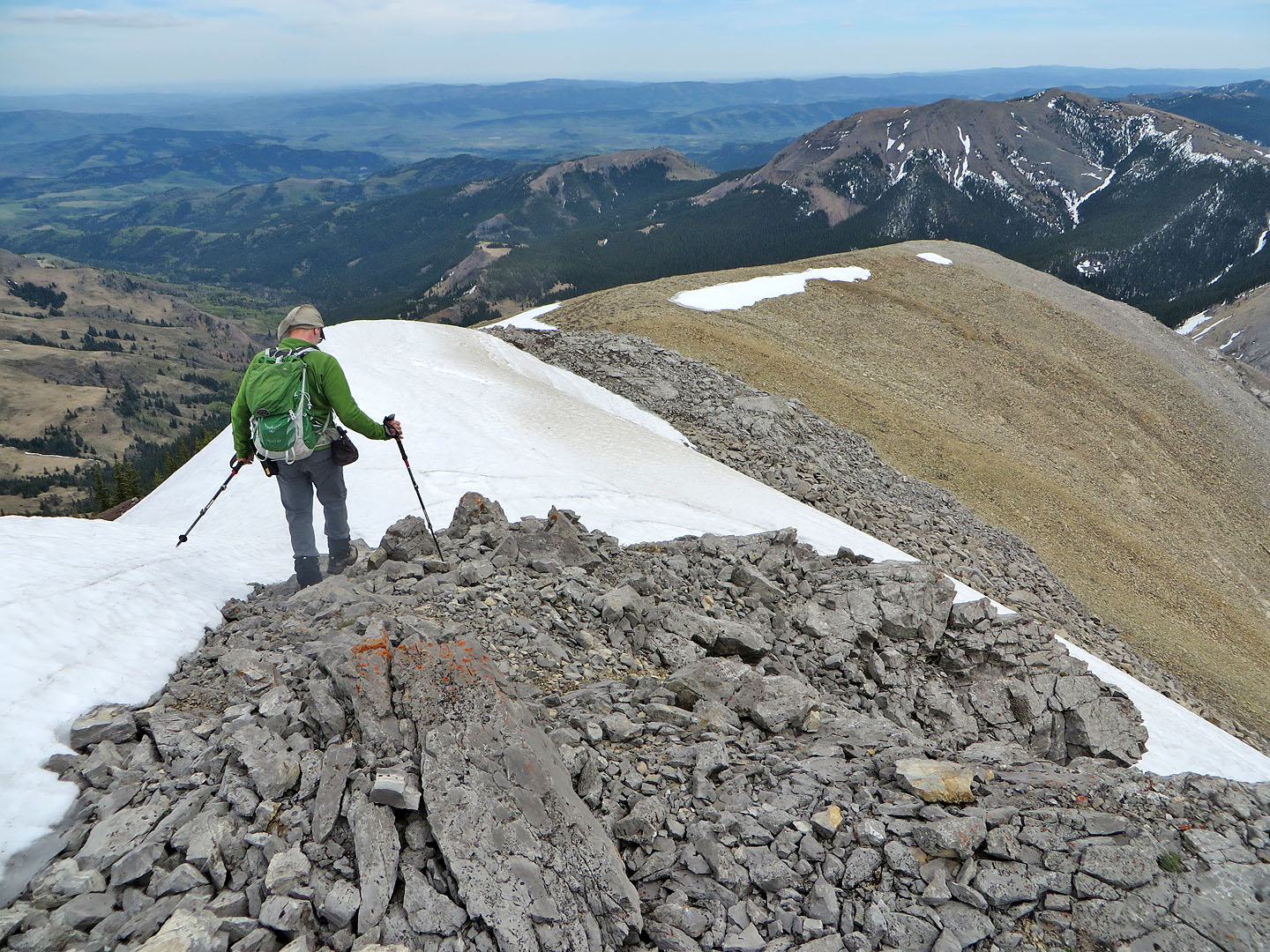
Most people climb Saddle Mountain from the north via Windy Peak, but Dinah and I followed the engaging, open south ridge seen here. Stunning scenery throughout, but you need permission to cross private property.
Windy Peak and Mount Honecker in the foreground
Heading back to the South Summit and the false summit
From the false summit, we started down the southeast ridge
We had to climb down a short cliff band
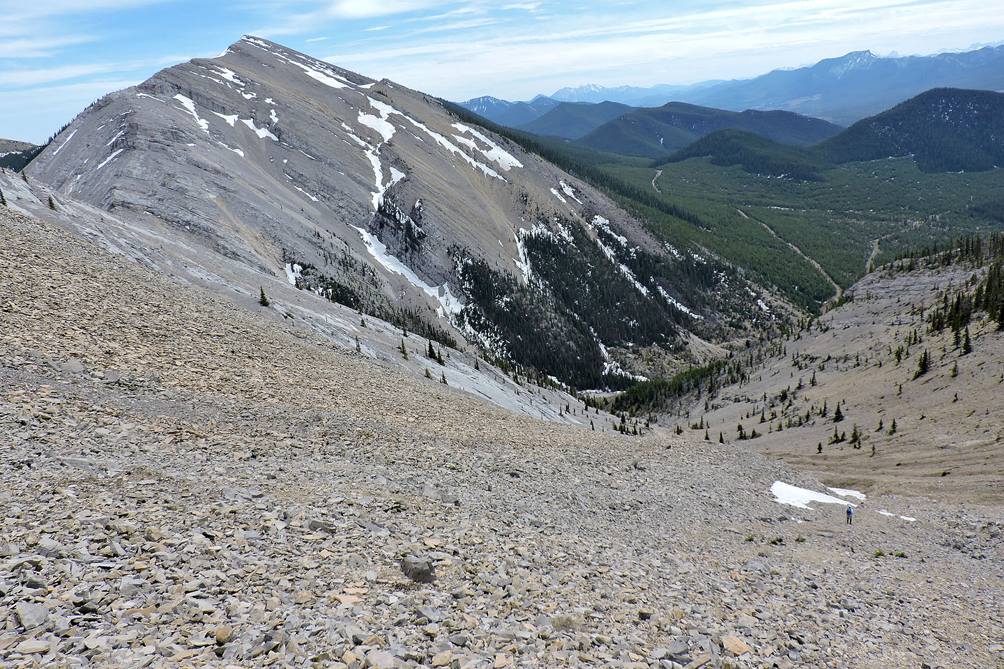
We continued down the ridge to the top of the gully
Looking back at the South Summit (right)
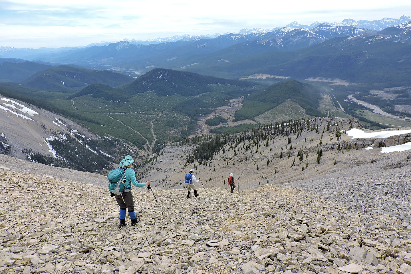
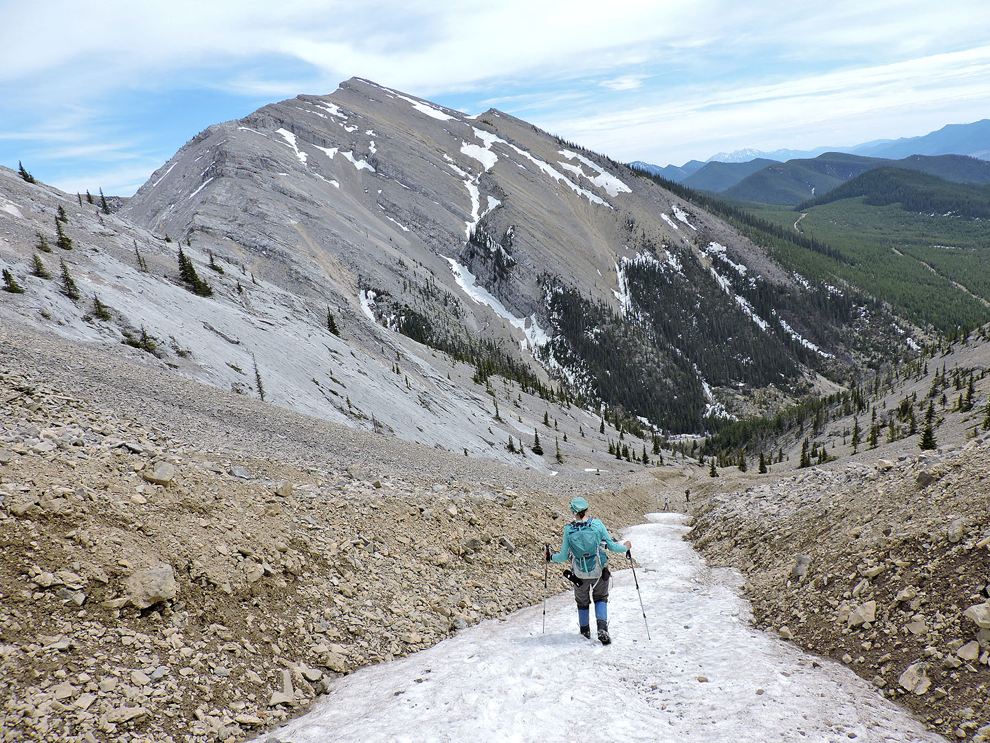
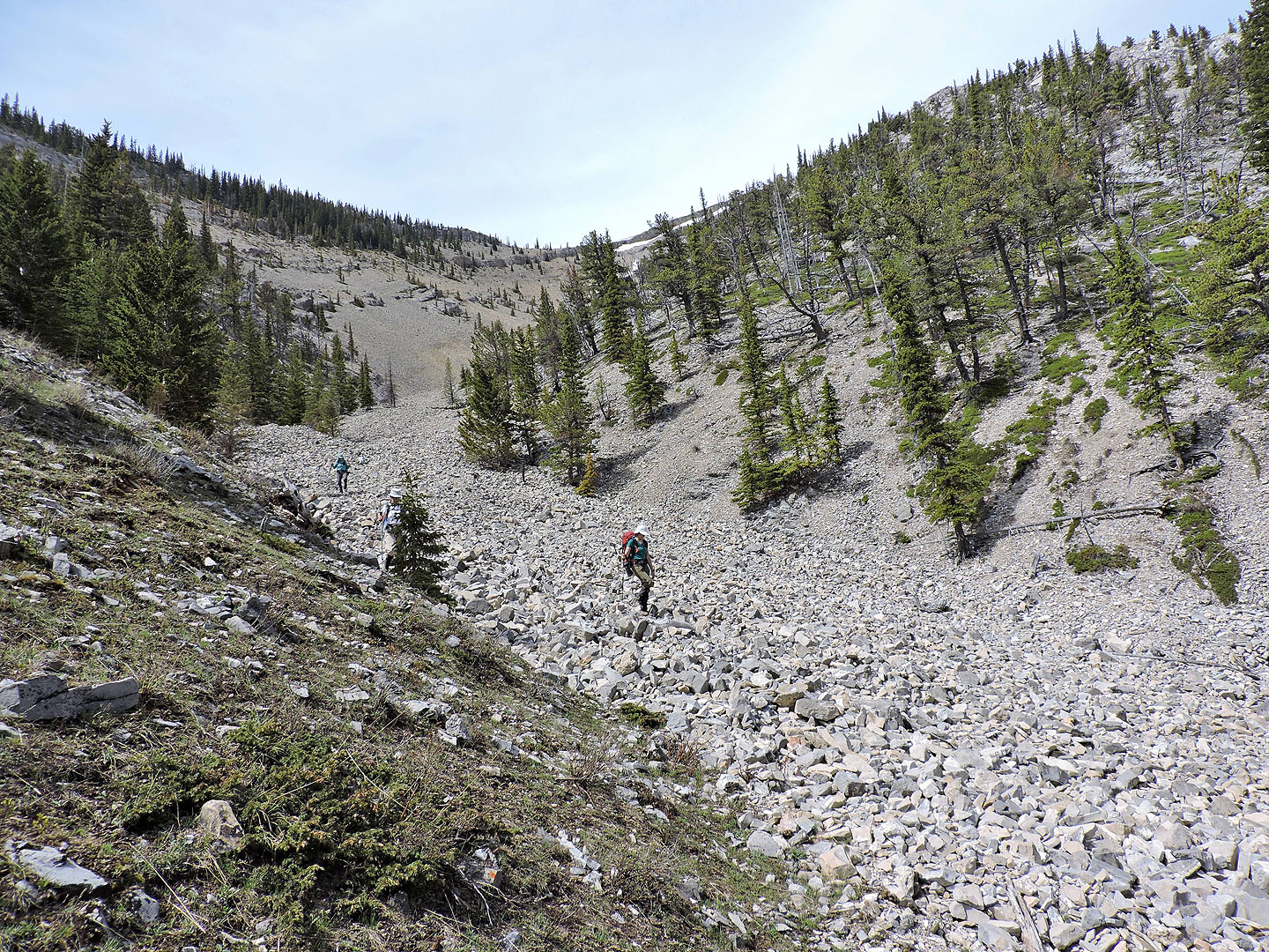
Starting down the gully
 We followed a trail in the scree until it disappeared
After the trail vanished, we made our way down a drainage
From the end of the drainage, it's a short hike back to the road
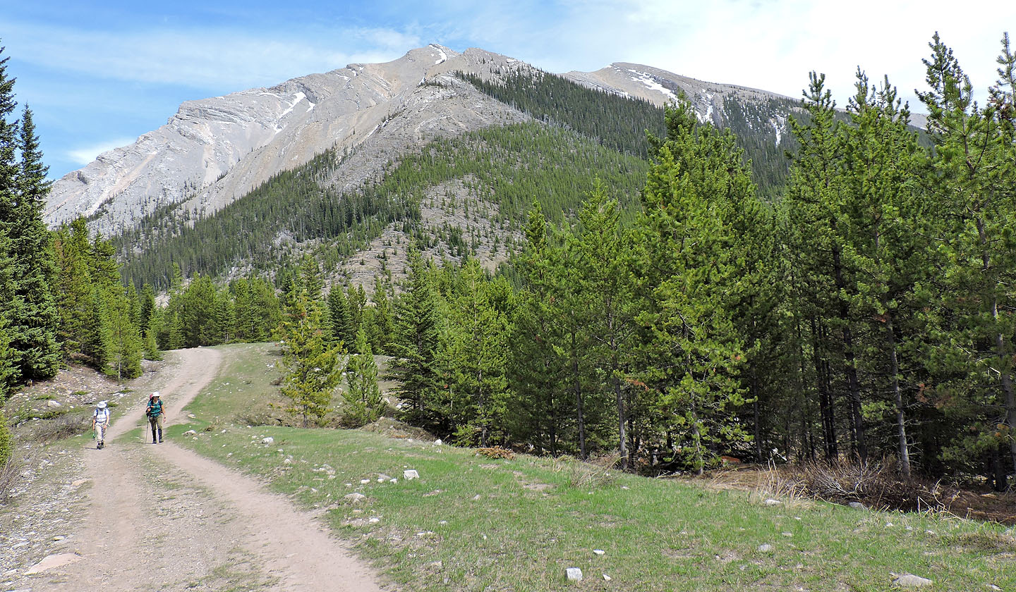
Walking back along the road. Behind us is Coffin Mountain.
82 J/1 Langford