bobspirko.ca | Home | Canada Trips | US Trips | Hiking | Snowshoeing | MAP | About
Gerald’s Ridge North End
Kananaskis, Alberta
June 29, 2024
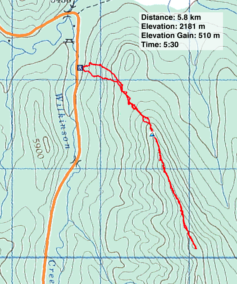
Distance: 5.8 km (3.6 mi)
Cumulative Elevation Gain: 550 m (1804 ft)
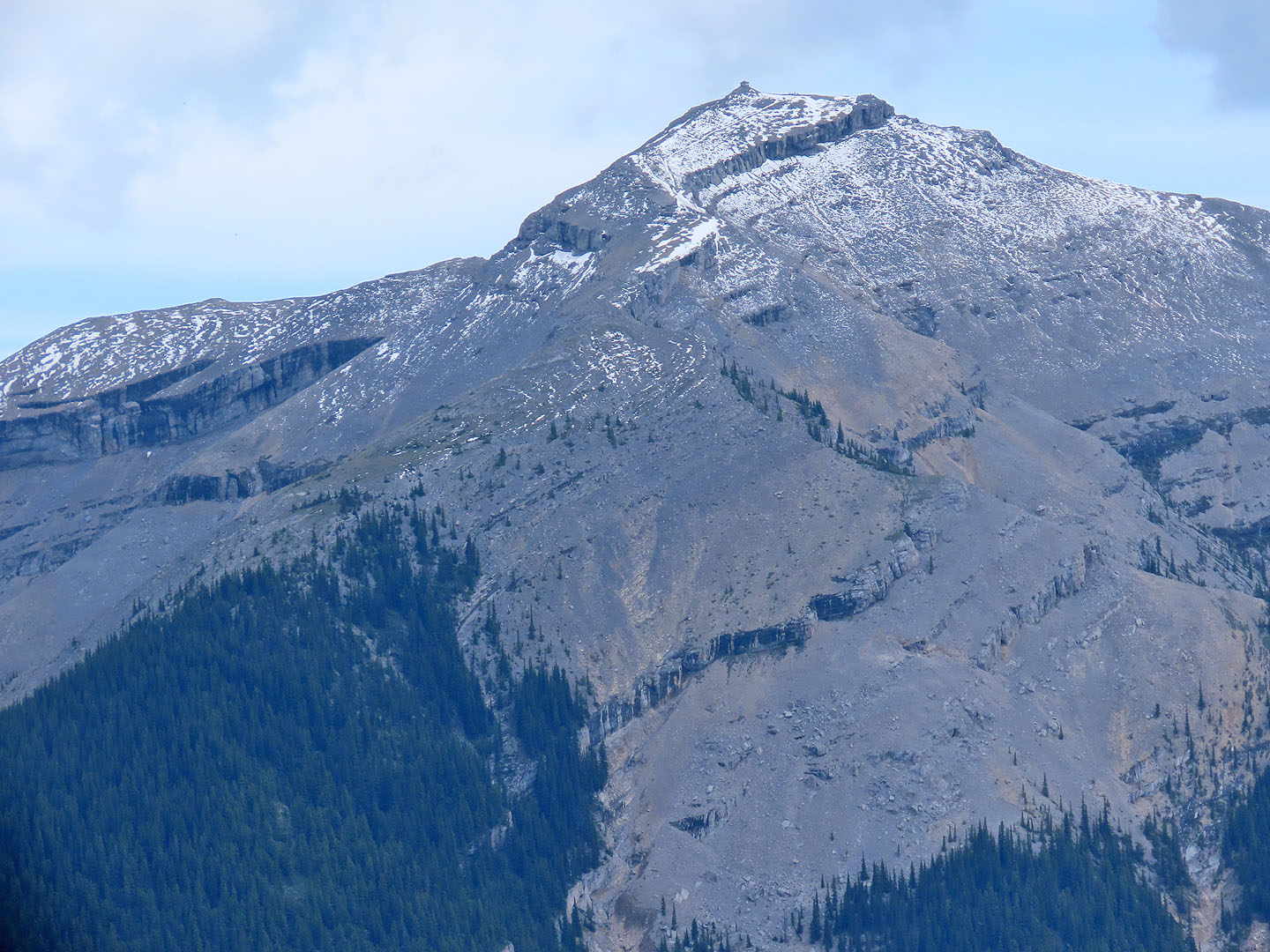
Having enjoyed hiking the south end of Gerald's Ridge to the summit, I was interested in ascending the north end to the second highest point on the ridge, the north summit. The north end of the ridge is mostly tree-covered, but being less than 5 km to the north summit, I anticipated a short trip. I was wrong. Due to prolonged bushwhacking, the ridgewalk was more folly than fun. Zora, Christine, Jonathan, Bernadette and Tomiji came along for the adventure.
We parked on the side of the road at the edge of a cutblock. We quickly passed through the cutblock and entered the forest. Immediately the route appeared more challenging than I expected. Deadfall, rocks and thickets forced us to take vexing detours. There were only a few, brief animal trails.
Our ridgewalk did provide three welcomed clearings that allowed good views. The first was a rocky point above a meadow that looked like a small summit. It even held a cairn with a cross.
The next clearing was a large meadow with an impressive trio of outcrops. The last clearing we reached was a small, grassy bump. From the bump, we pushed through the forest to the next high point, but the bushwhacking showed no sign of easing. If anything, it became worse. The next high point, tree-covered and 500 m away, appeared daunting and not worthwhile. We turned back 2 km short of our objective.
The clearings on the north end of Gerald Ridge were few and far between, hardly worth the effort to reach them, let alone go all the way to the north summit. Having our fill of bushwhacking, our next hike, we vowed, would be on a trail!
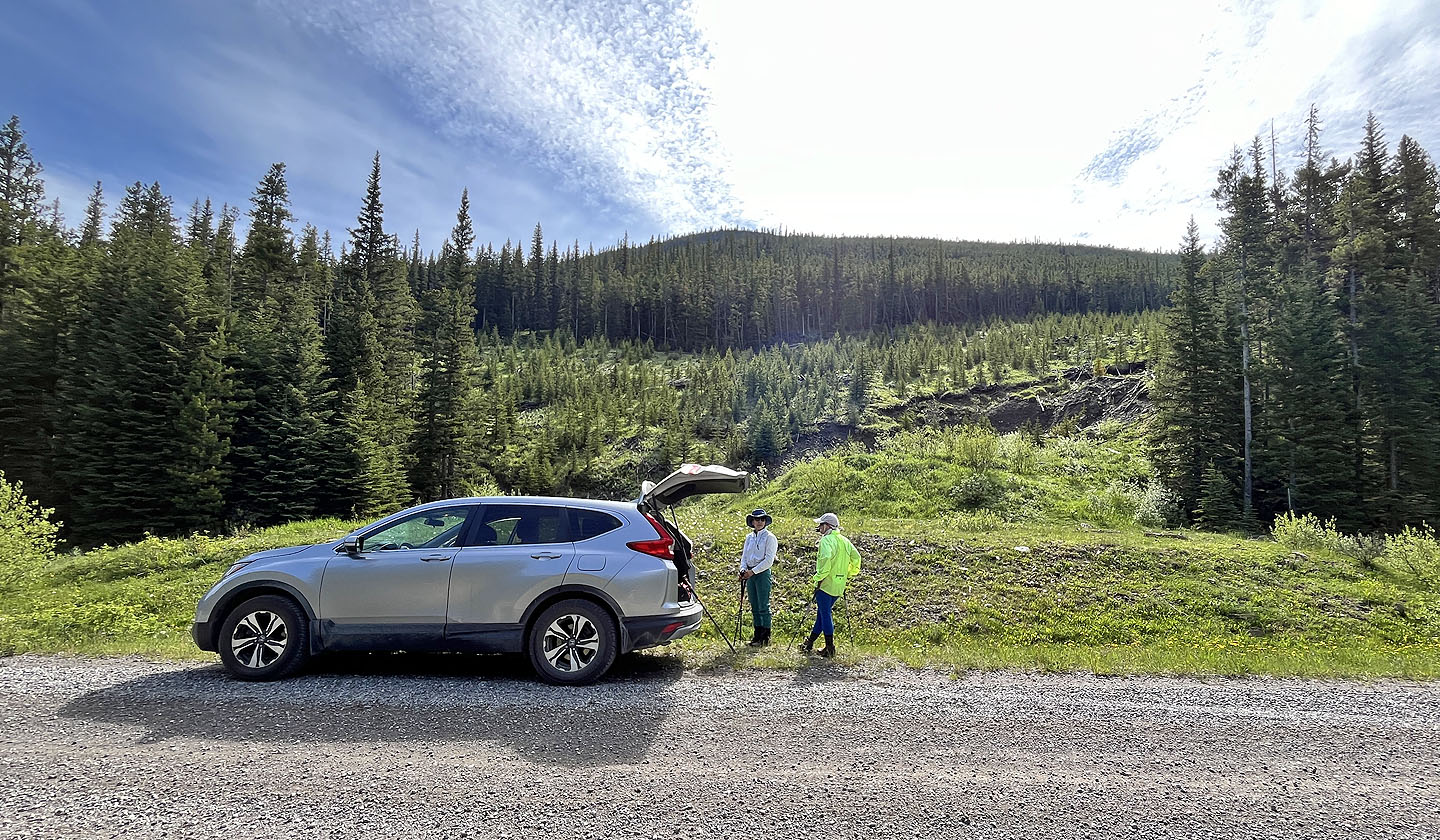 The hike began in a cutblock
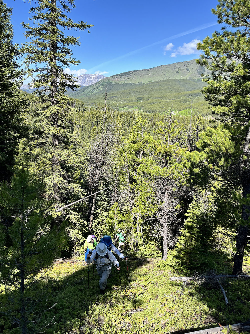
There were few clearings as we started up
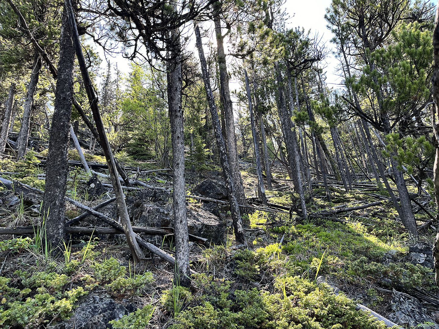 The lower slopes were rife with deadfall
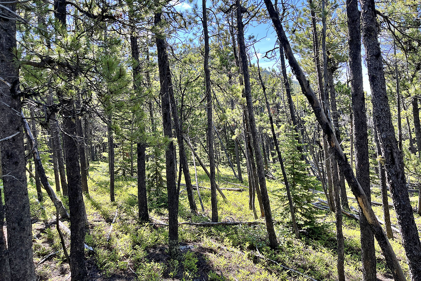 The view ahead after reaching a saddle
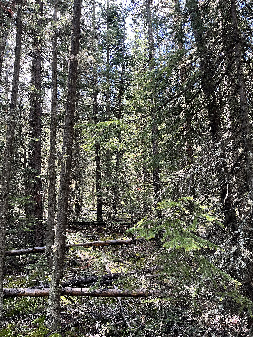
Much of the forest after the saddle was dense
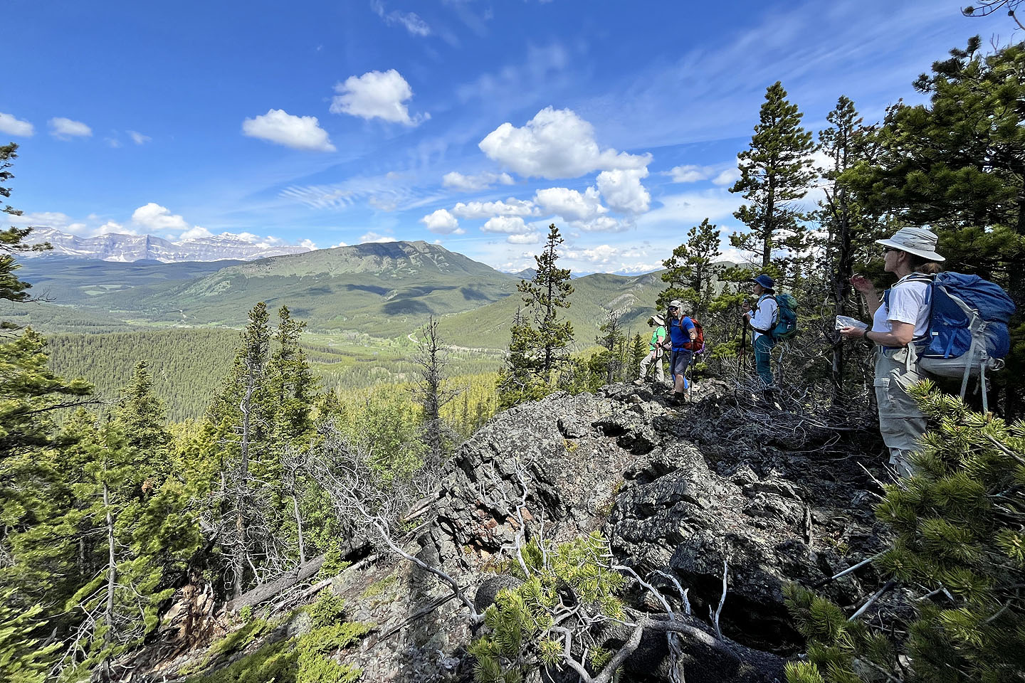 We gravitated to an outcrop, our first break in the trees. Raspberry Ridge in the background.
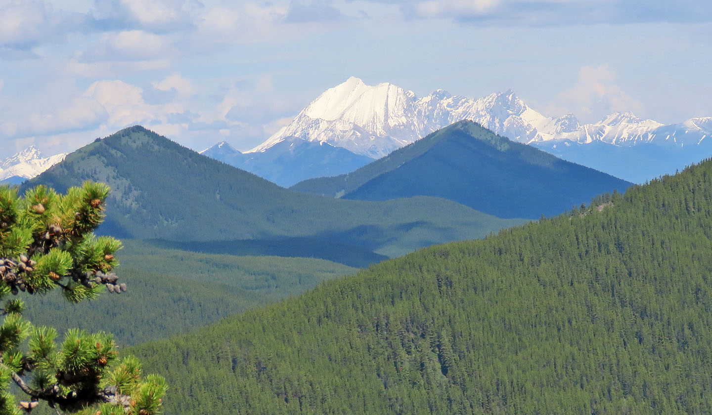 Mist Mountain was covered in snow. Etherington-Baril Ridge and Coyote Hills in the foreground.
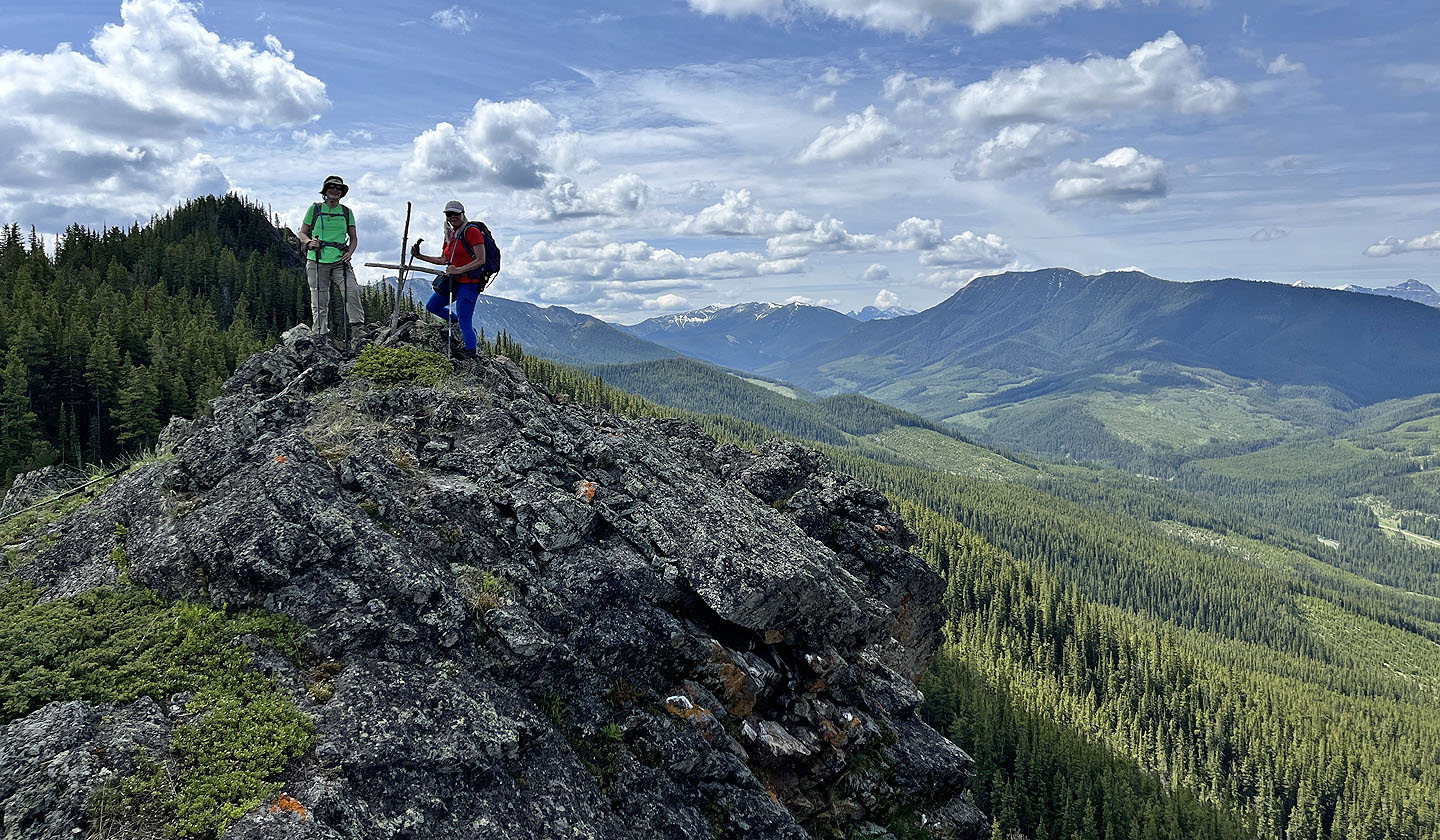 Bernadette and Christine stand on a small summit, elevation 2036 m
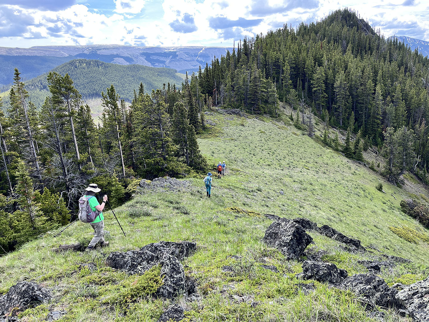 Continuing along the ridge. The tree-covered hill on the left is Cornea Ridge.
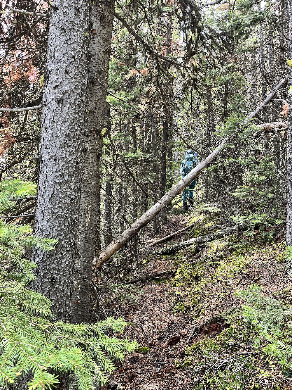
We followed a brief trail on the east side of the ridge
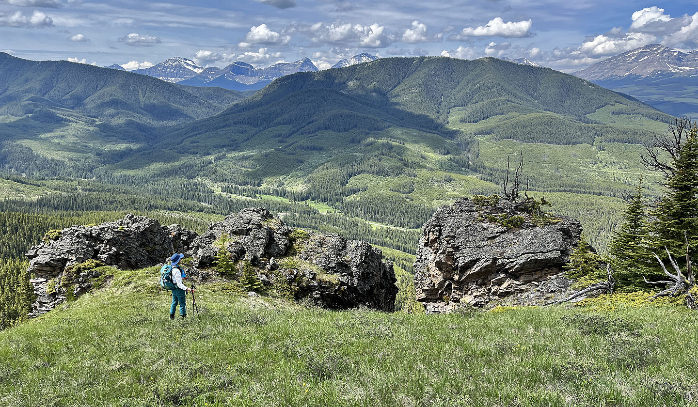 We looked at outcrops next to a meadow. In the background are Mounts O'Rouke, Pierce and Farquhar (mouse over for a close-up)
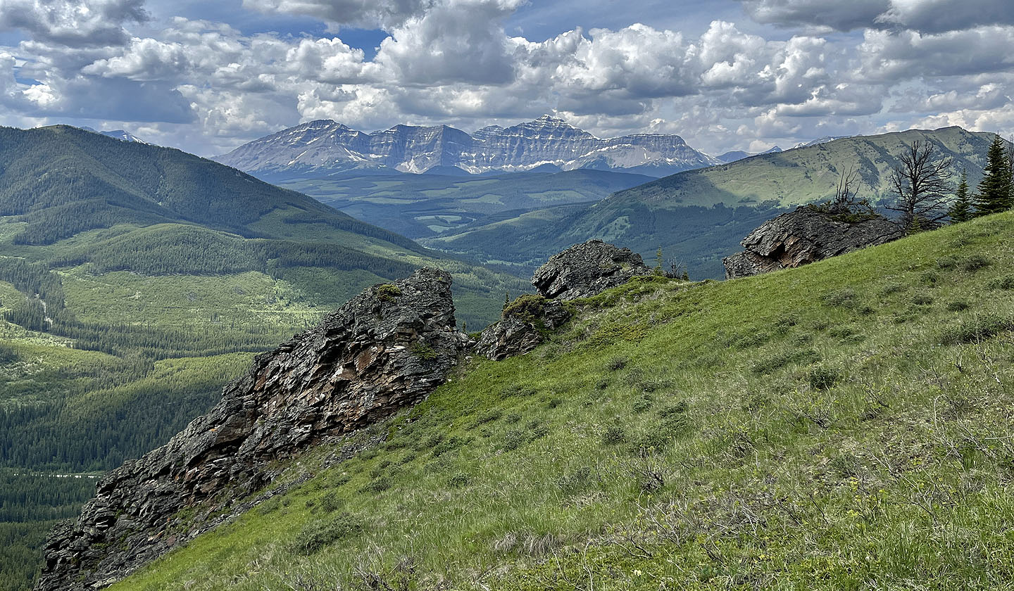 Mount Armstrong in the background
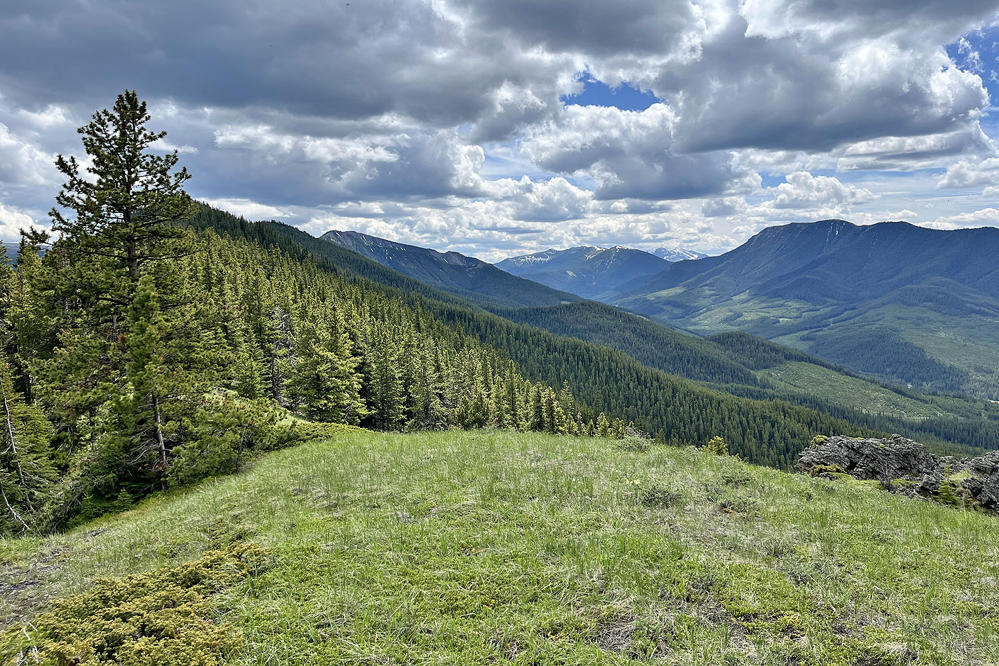 Looking ahead at the next forested section. The south summit can be seen. Pasque Mountain is in the centre. Cummings Ridge right.
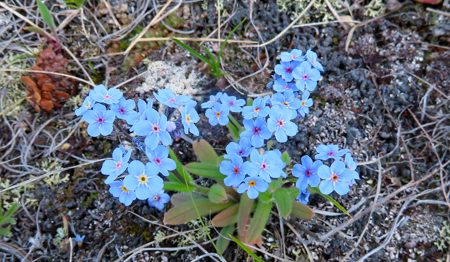 Forgetmenot wildflowers
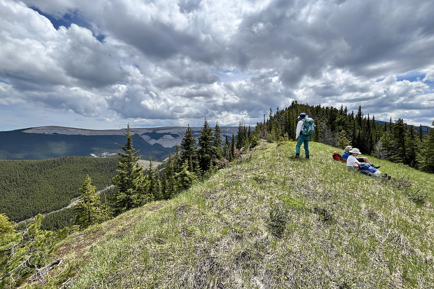 After more bushwhacking, we reached a small meadow where we took a break. Left is North End of Plateau Mountain. We continued to the next high point ahead before turning around.
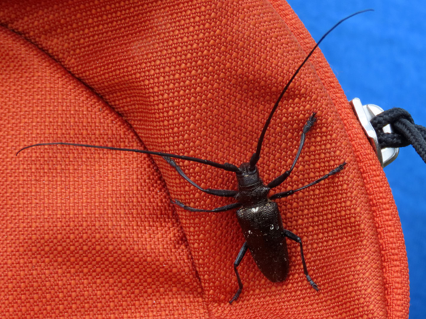 A white-spotted sawyer hitched a ride on Jonathan's pack
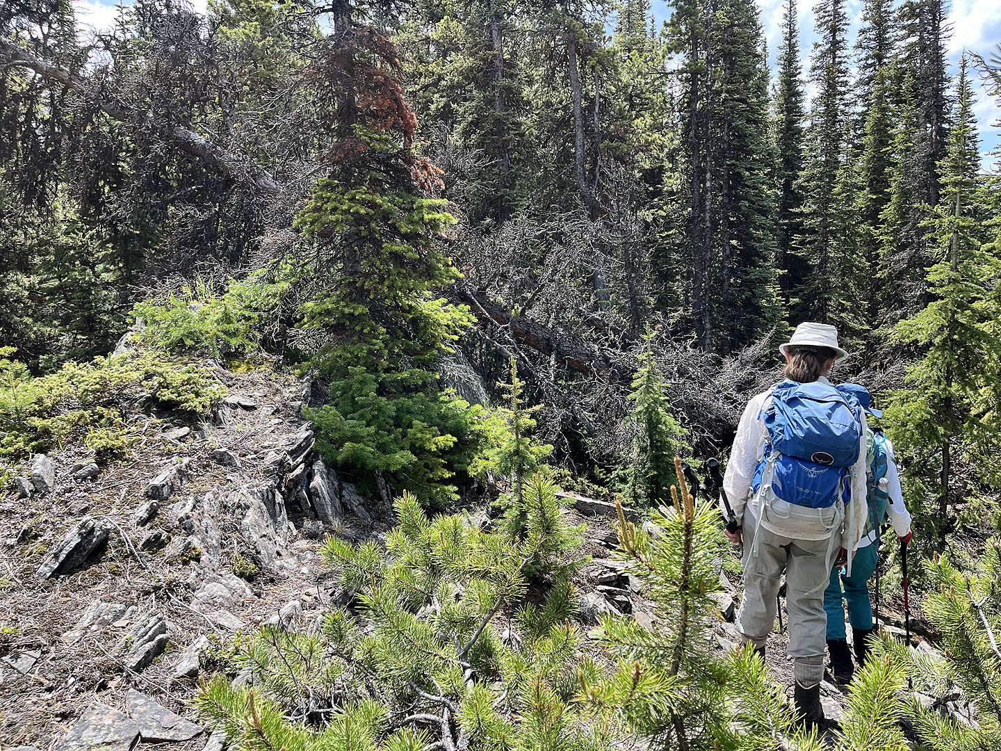 We were often forced to drop down the ridgetop to get around fallen trees and other obstacles
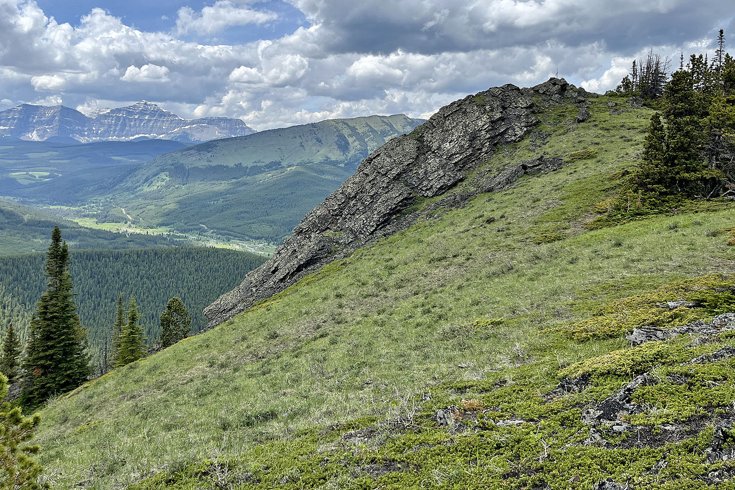 On the way back, we stopped at the small summit
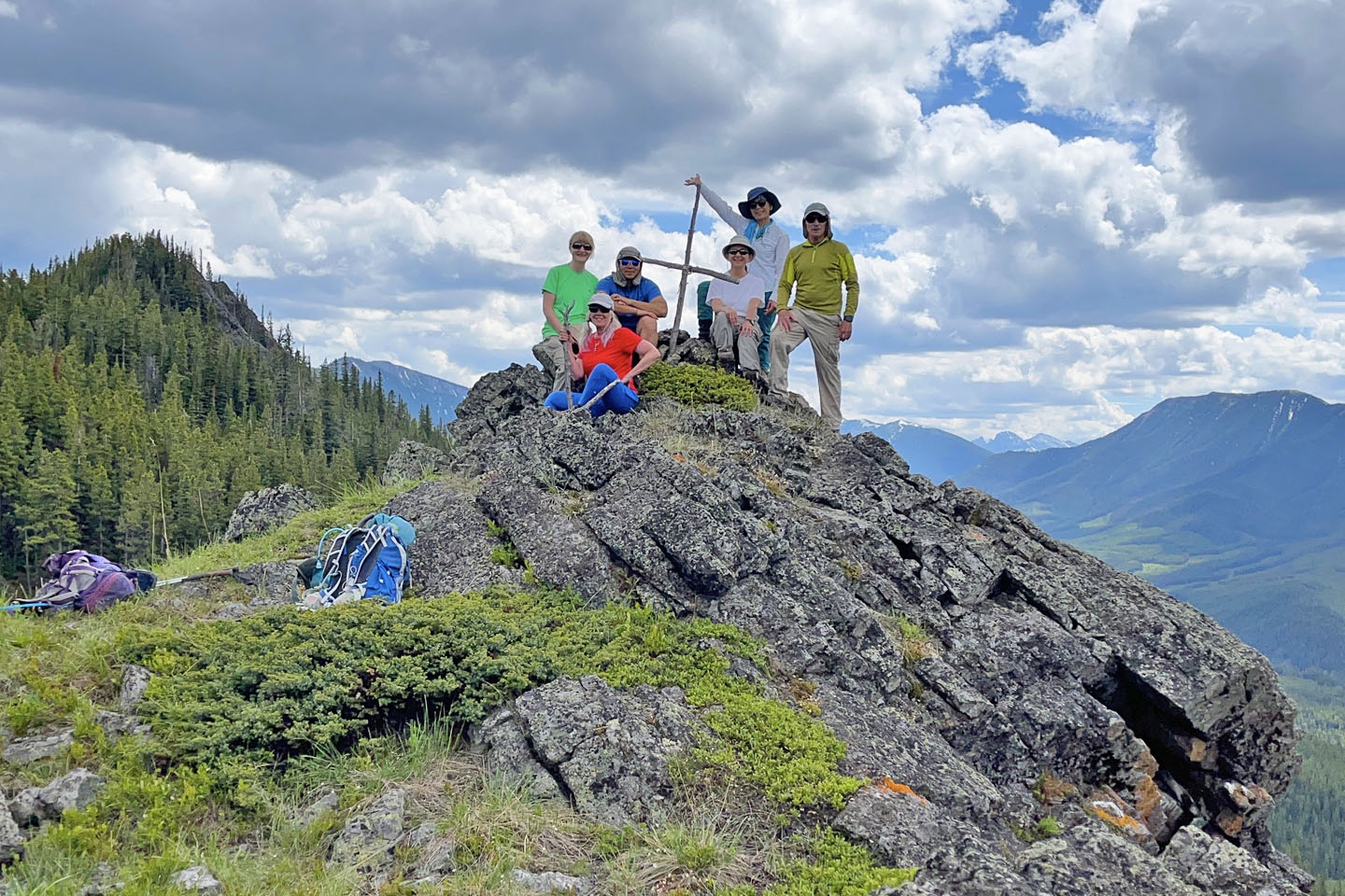 Bernadette, Christine, Jonathan, Zora, Tomiji and me on the summit
82 J/7 Mount Head

