bobspirko.ca | Home | Canada Trips | US Trips | Hiking | Snowshoeing | MAP | About
Pasque Mountain
Kananaskis, Alberta
November 1, 2008
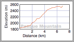
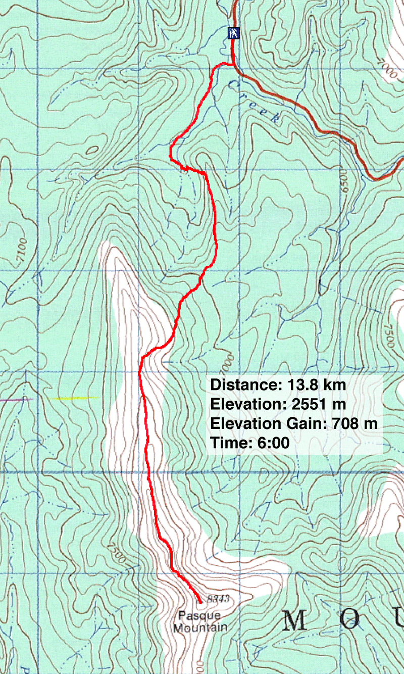
Distance: 13.8 km (8.6 mi)
Cumulative Elevation Gain: 786 m (2579 ft)
This was our third attempt up Pasque Mountain. On our first attempt, May 2003, Dinah and I were thwarted by deep snow. When we attempted Pasque Mountain in October 2006, we turned back because of frigid cold and high winds. This time we reached the summit in relatively calm weather, not to mention surprisingly dry conditions for this time of the year.
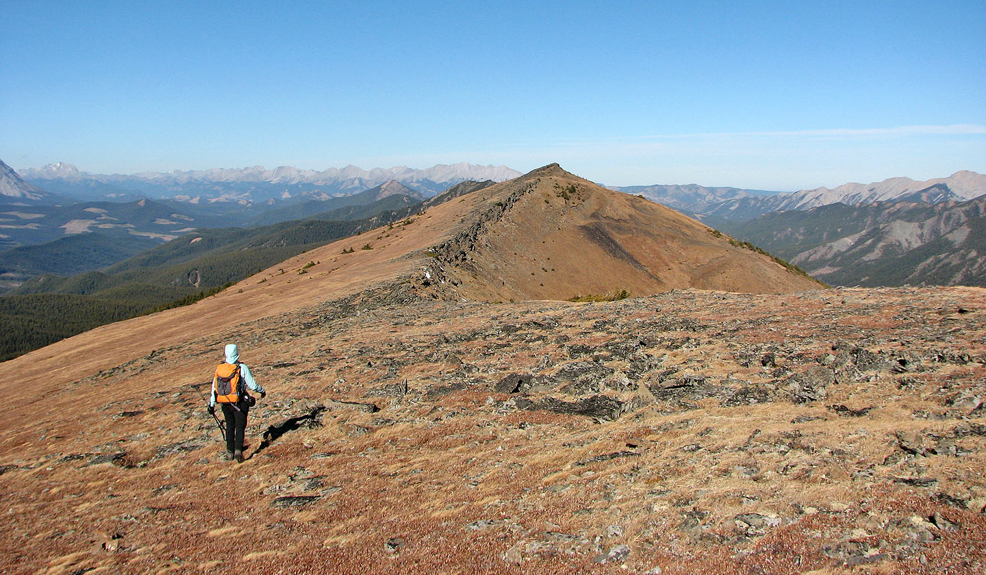
We had no trouble following the route to the ridge. It's mostly a hike, but there is a bit of easy scrambling. The route takes advantage of old roads to put you within easy reach of the the north peak. But instead of climbing the north summit, we left the road and headed to a trail that leads to the ridge. We followed the ridge to the south peak, the summit. The ridgewalk sports some good views, and the clear, blue skies provided a look at far-ranging peaks.
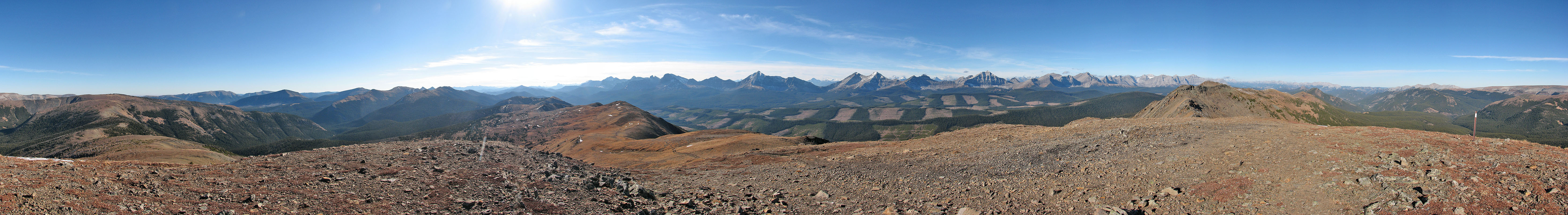
It took us three hours to reach the summit, so we took our time going back and climbed the north peak where I took the above panorama.
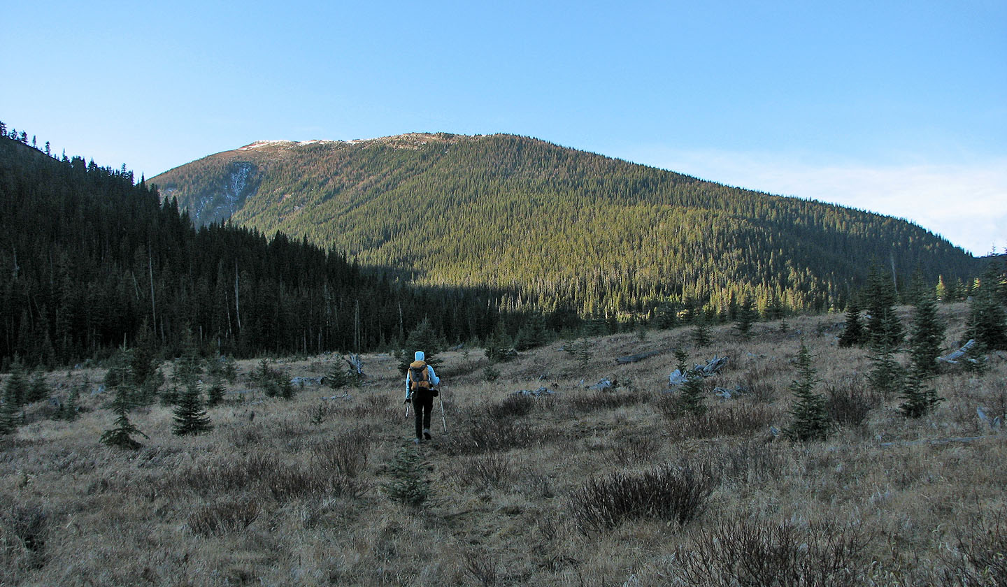
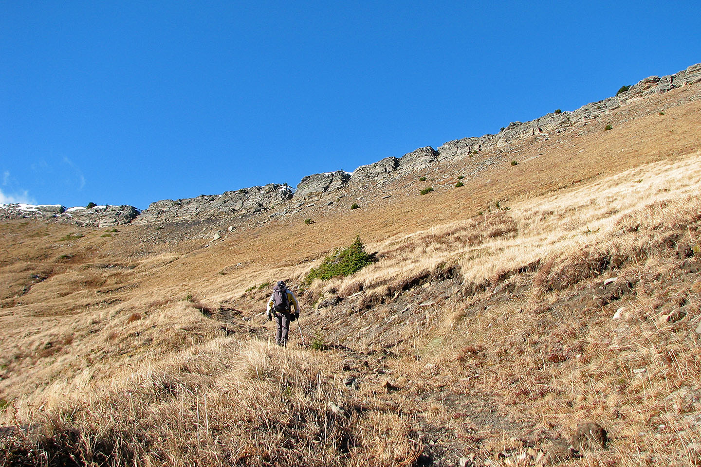
Hiking up the valley to Pasque Mountain
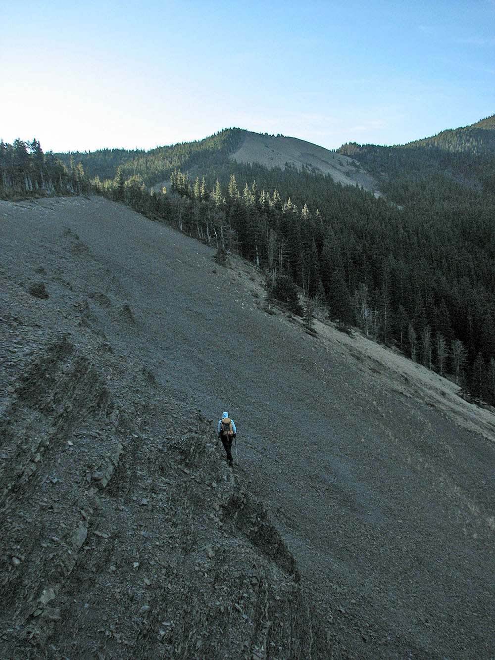
Heading up the first ridge
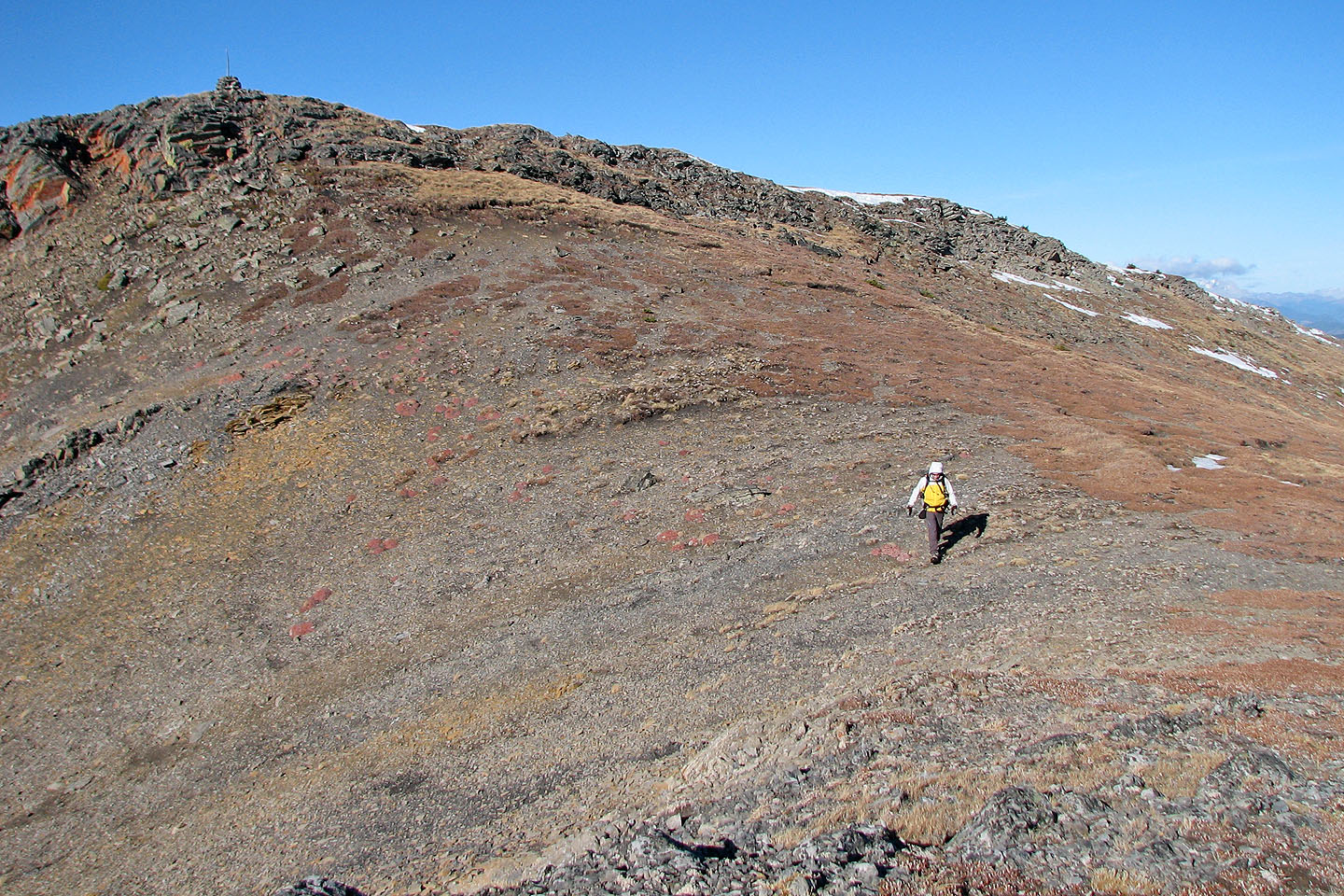
The road heads to the north summit, but we headed to the ridge above
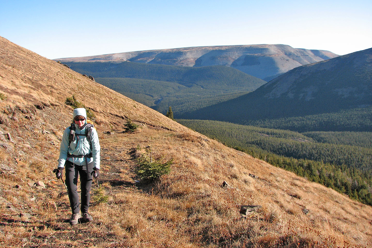
Plateau Mountain behind
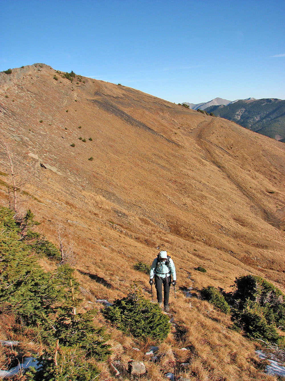
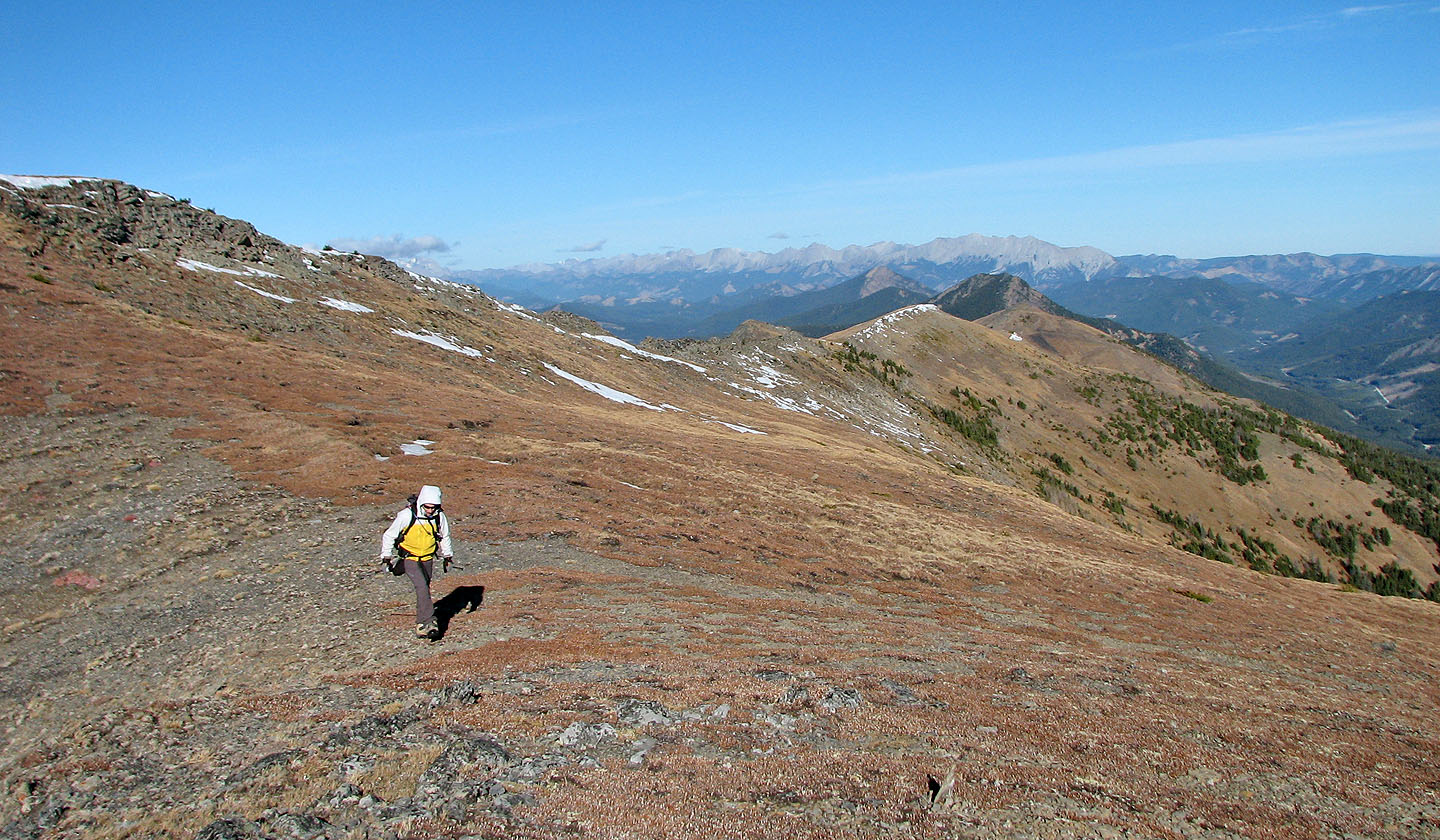
We caught a trail that leads to the ridge. The north peak is behind.
We hiked up the ridge. Beehive Mountain in centre.
According to both our GPS receivers, the "lower summit" was as high as the true summit
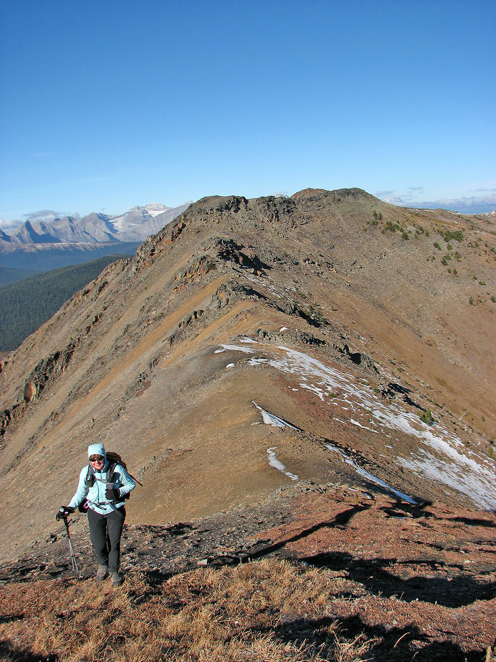
Looking back along the ridge
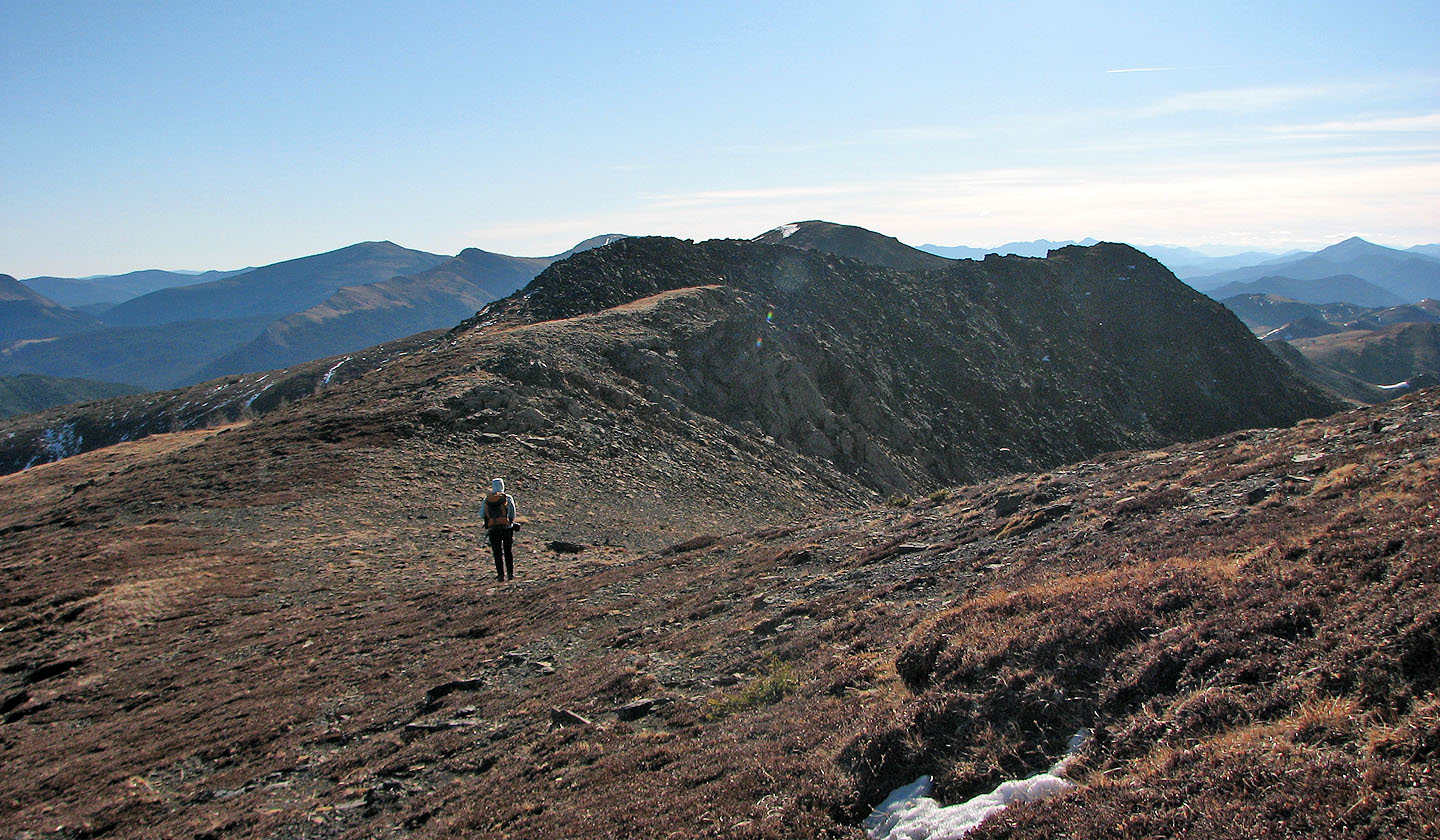
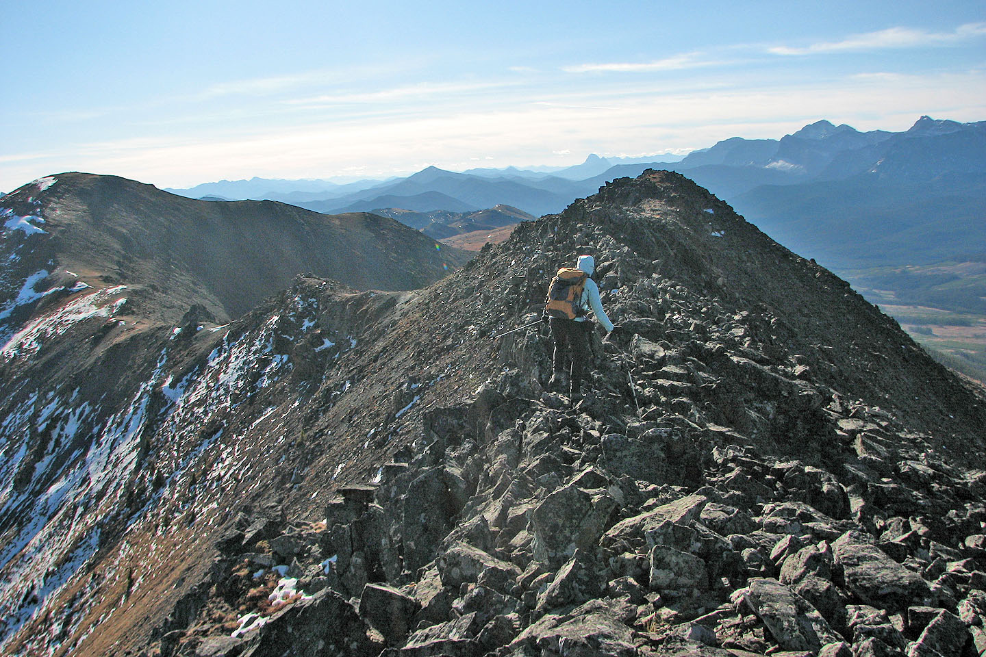
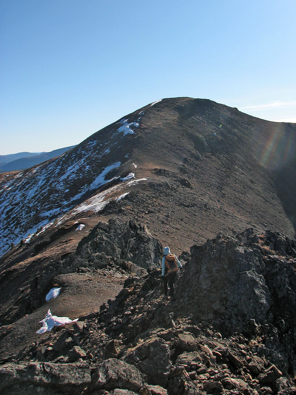
To reach the summit (centre) we traversed the rocky ridge ahead
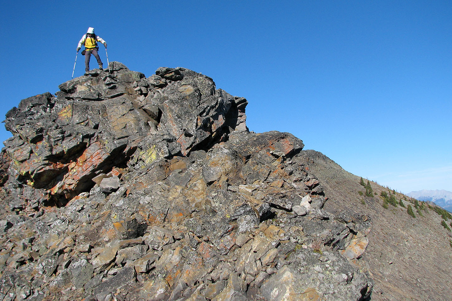
On the rocky ridge
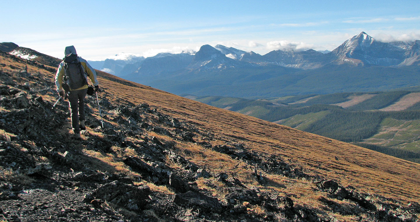
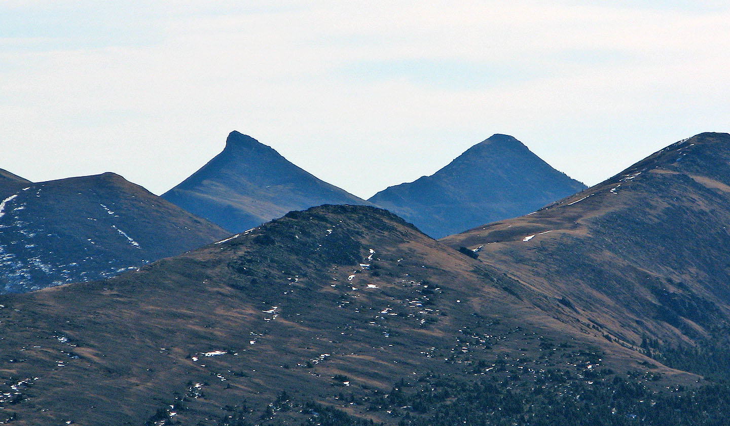
On the skyline (centre) is Sugarloaf Lookout. Above Dinah is Crowsnest Mountain 50 km away.
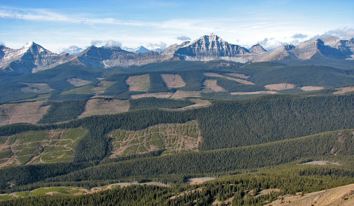
The views west are marred by cutblocks. In the clearing at the bottom, centre, a helicopter
appeared to dropping gear and men off (mouse over).
This section can be skirted below on the left, but we scrambled over it easily
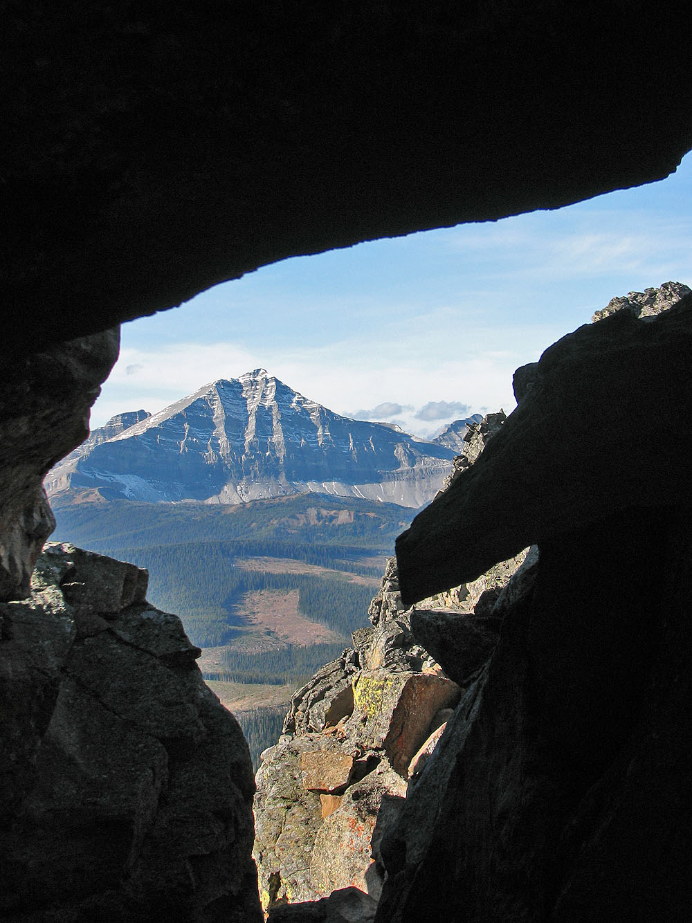
An unnamed peak seen through the rocks
We downclimbed a small drop
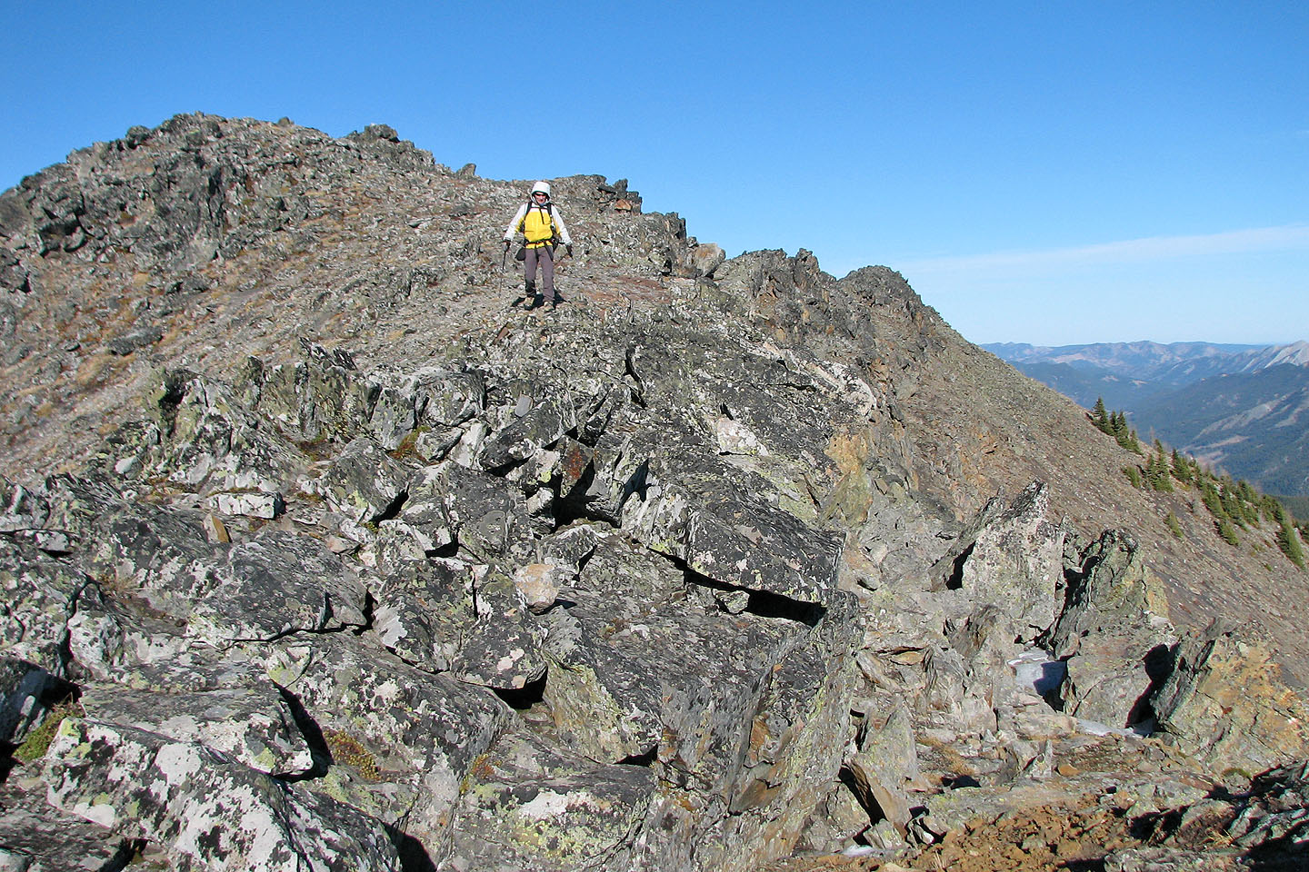
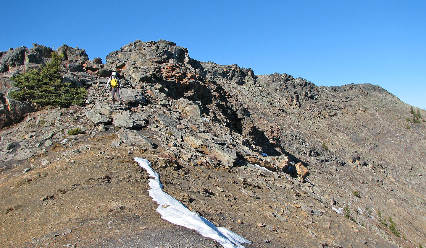
The next rock outcropping ahead is easily circumvented or scrambled over
Looking back at the ridge we traversed
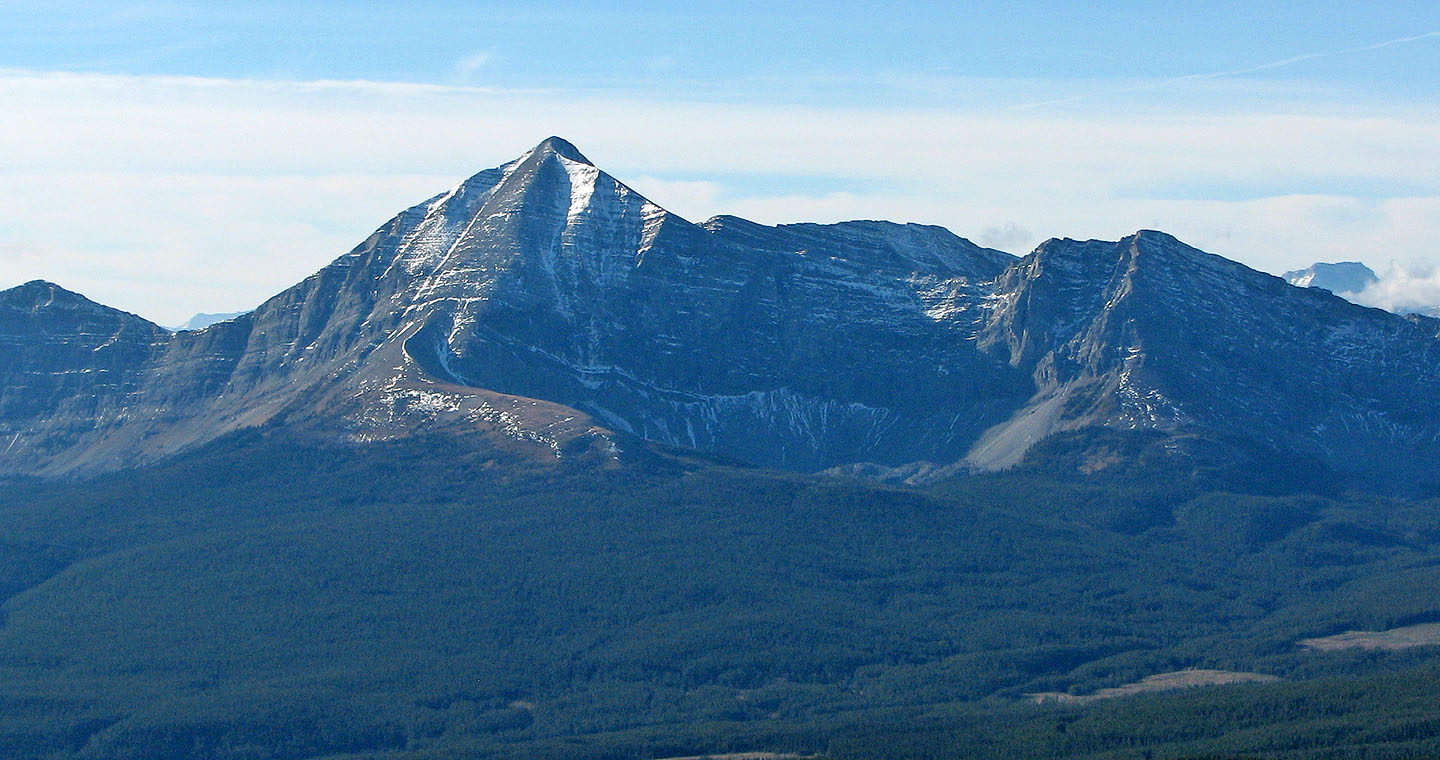
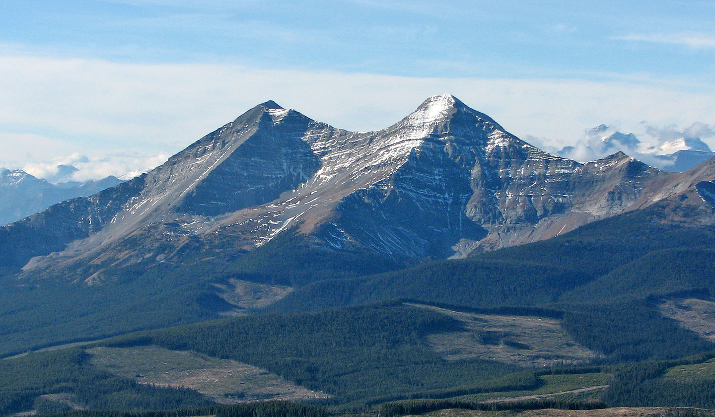
Mount Lyall
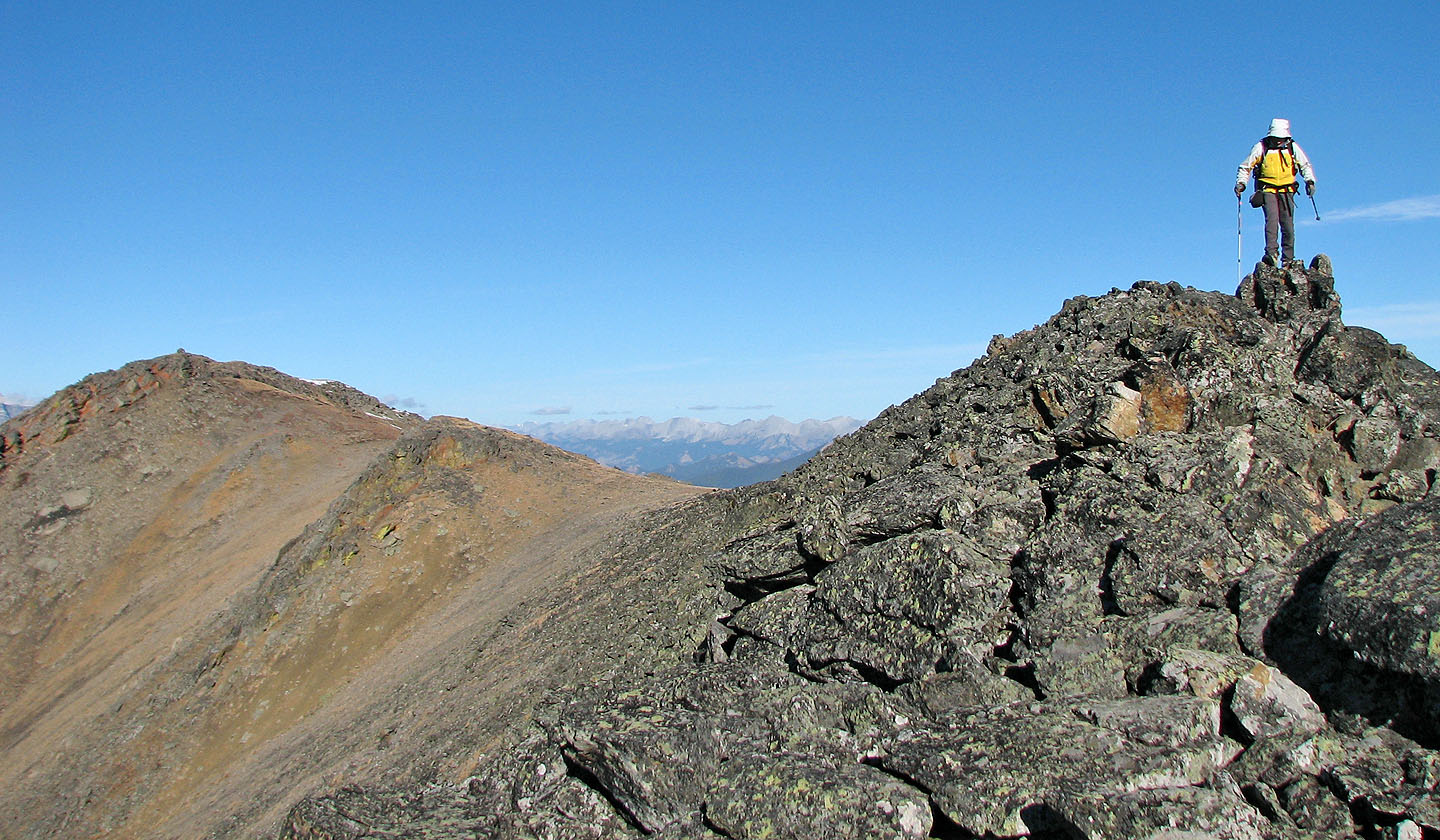
Dinah reaches the south summit
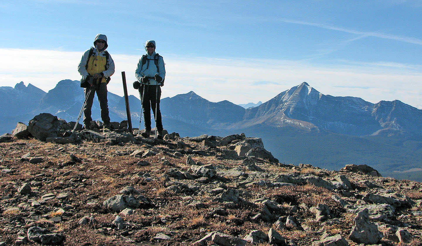
A benchmark (mouse over) marks the top

A gentle ridge connects Pasque East Peak
Mount Gass (left)
Heading to the north peak

View from the north peak
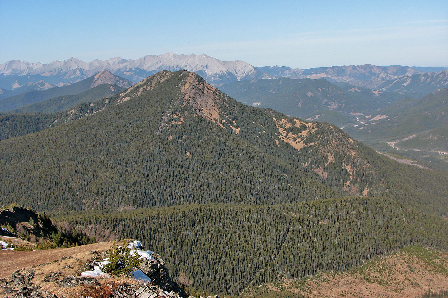
Cummings Ridge lies south
82 J/2 Fording River