bobspirko.ca | Home | Canada Trips | US Trips | Hiking | Snowshoeing | MAP | About
Cornea Ridge
Kananaskis, Alberta
May 28, 2022
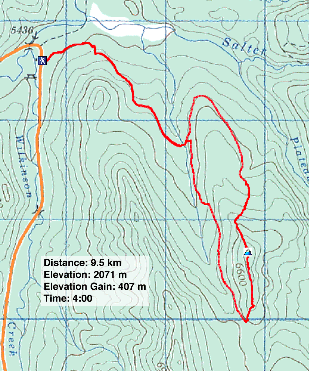
Distance: 9.5 km (5.9 mi)
Cumulative Elevation Gain: 425 m (1394 ft)
When I came across Cataract Creek Logging Road on Alltrails.com, I found it enticing. I viewed it as an approach in need of a summit, and indeed it leads to a low ridge. I called it Cornea Ridge, a whimsical take on Cataract Creek.
It would be a long walk on logging roads and a traverse along a treed ridge, but despite having all the elements of an underwhelming trip, Sonny and Zosia signed on. We parked at Cataract day-use area and walked 200 m to where the logging road begins.
Other than taking a shortcut on a switchback near the start, we stuck to the meandering road until it swung by the north end of Cornea Ridge. We left the road and hiked up the cutblock to the treed ridgeline. Bushy at first, the narrow, sometimes-rocky crest soon gave way to passageways, and we easily reached the small clearing that marked the summit. There was no cairn (perhaps a first ascent?), so we built a small one.
After spending time on top, we continued down the south ridge. With a gentler grade and more relaxed tree spacing, the south ridge was a nicer hike than the north ridge. We soon reached a cutblock, and we dropped down to Cataract Creek Logging Road.
We could have followed the road all the way back, an extended route that runs over the north ridge, but it was easier and shorter to catch the start of another road 100 m away. It was a shortcut back to the main road, and it completed a loop. We enjoyed a casual walk back to our car.
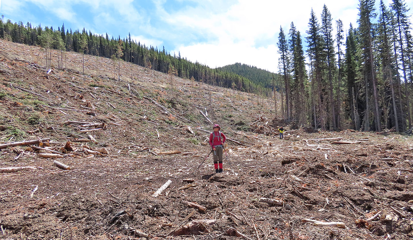
Cornea Ridge will never become a popular hike. Because of trees, views are sorely lacking. However, they are plentiful on the logging roads. Most everywhere along the roads, which comprise 80% of the route, cutblocks allowed far-reaching views. A member on Alltrails summed it up, “Very nice views, comfortable walking.” Still, it was gratifying to include a summit!
KML and GPX Tracks
Sonny's Trip
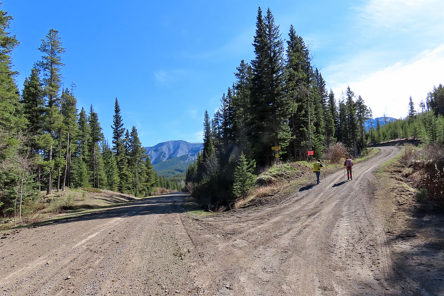
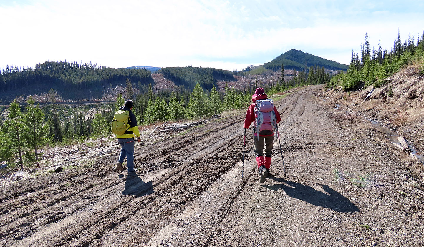
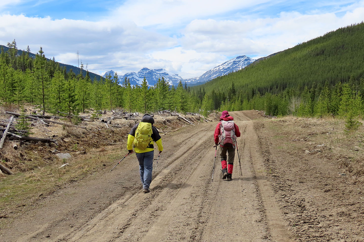
Soon after starting out, we turned onto Cataract Creek logging road
Mount Burke is seen ahead
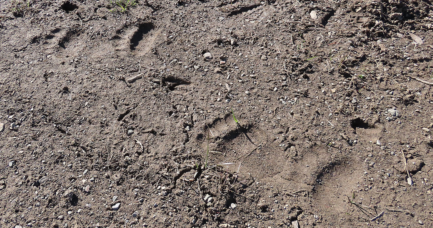
Bear tracks appeared frequently along the road
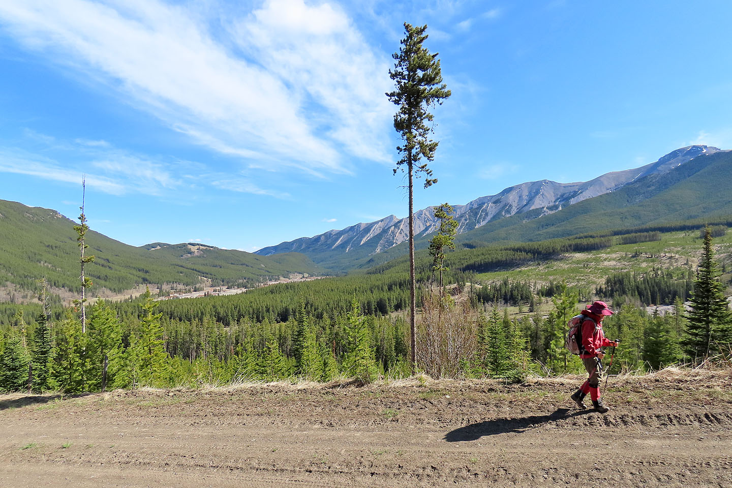
The road quickly rises above Cataract Creek
The road can be seen continuing on the left. Cornea Ridge lies ahead.
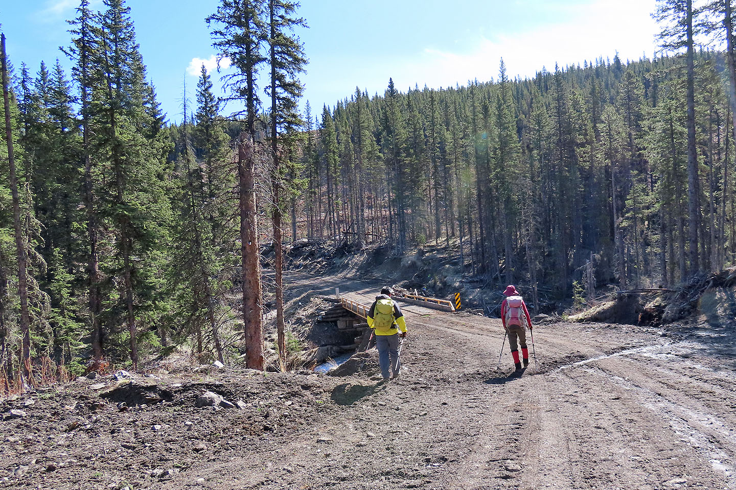
The road crosses a bridge
Looking back at Hell's Ridge as the road turns a corner
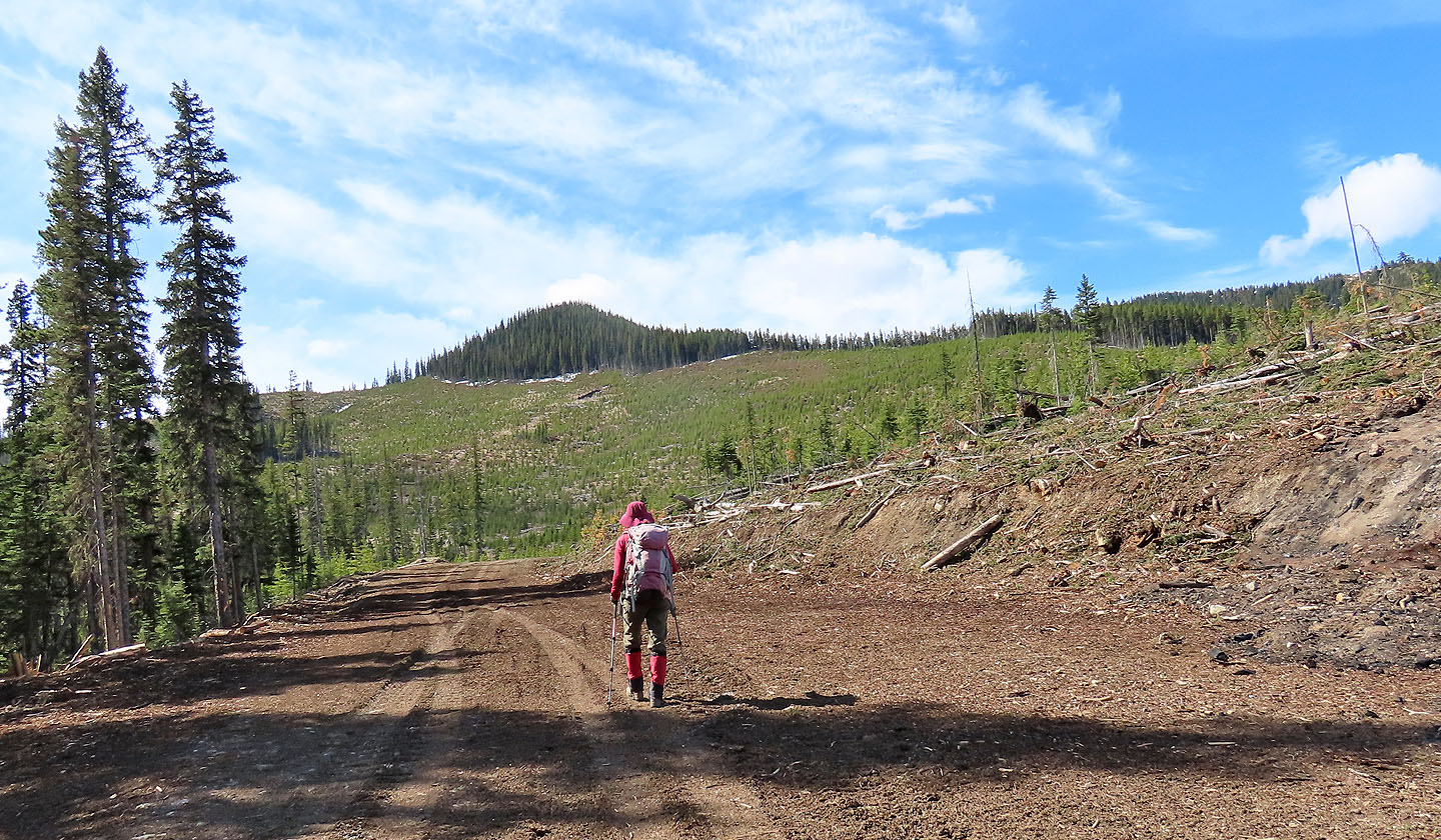
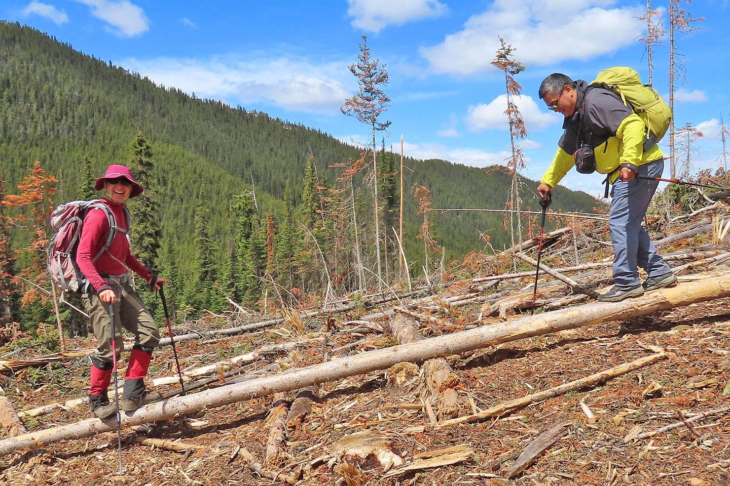
We'll soon leave the road and start up the slope for Cornea Ridge
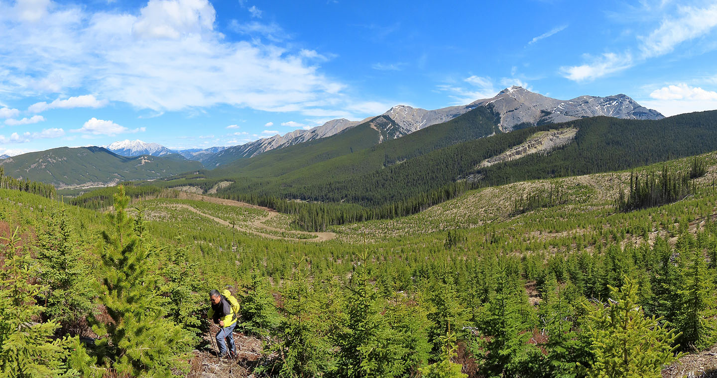
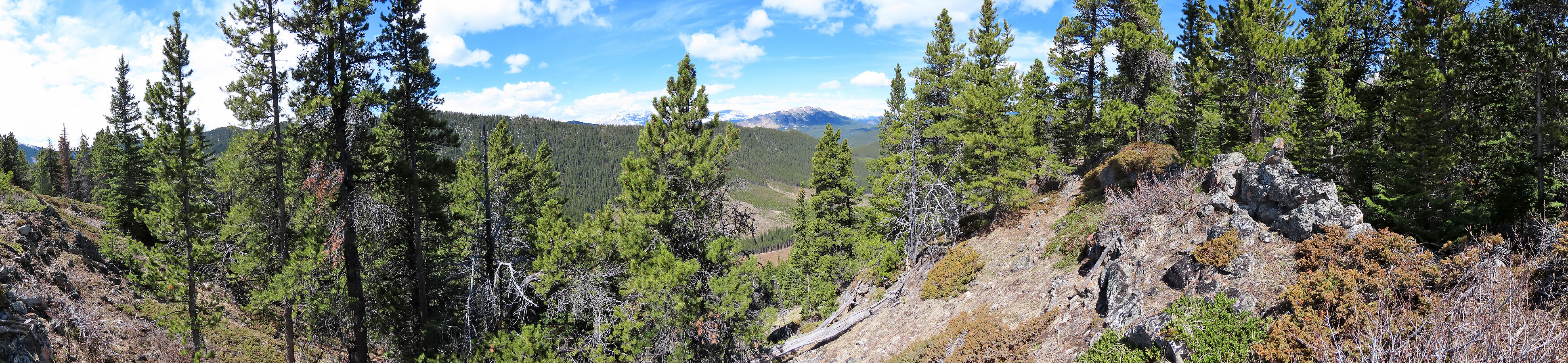
Looking back after climbing well up the slope
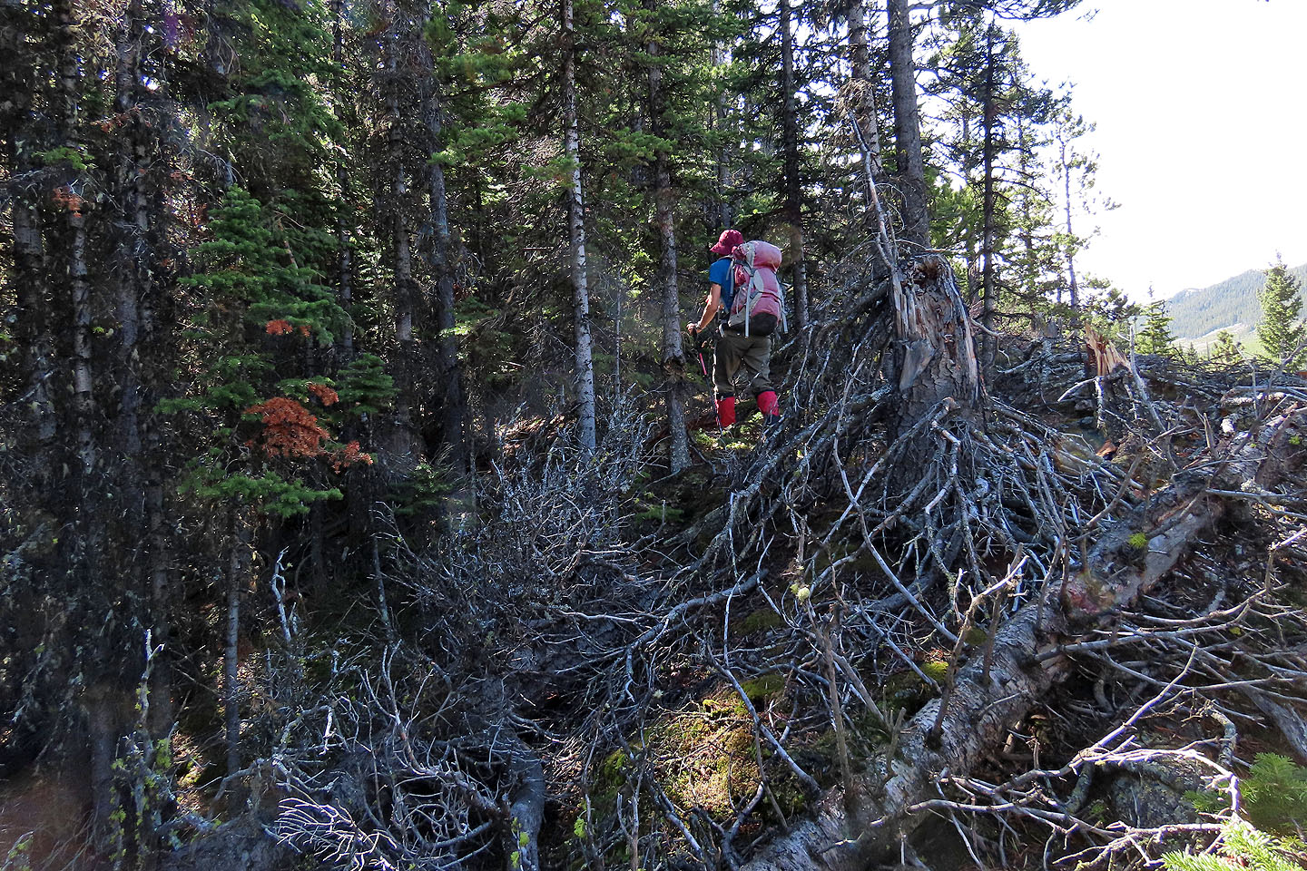
The ridge was bushy at first...
...but soon improved. Raspberry Ridge is in the centre.
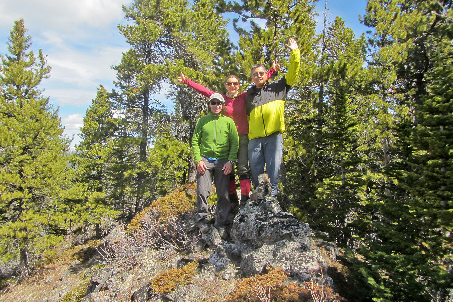
Posing on the summit
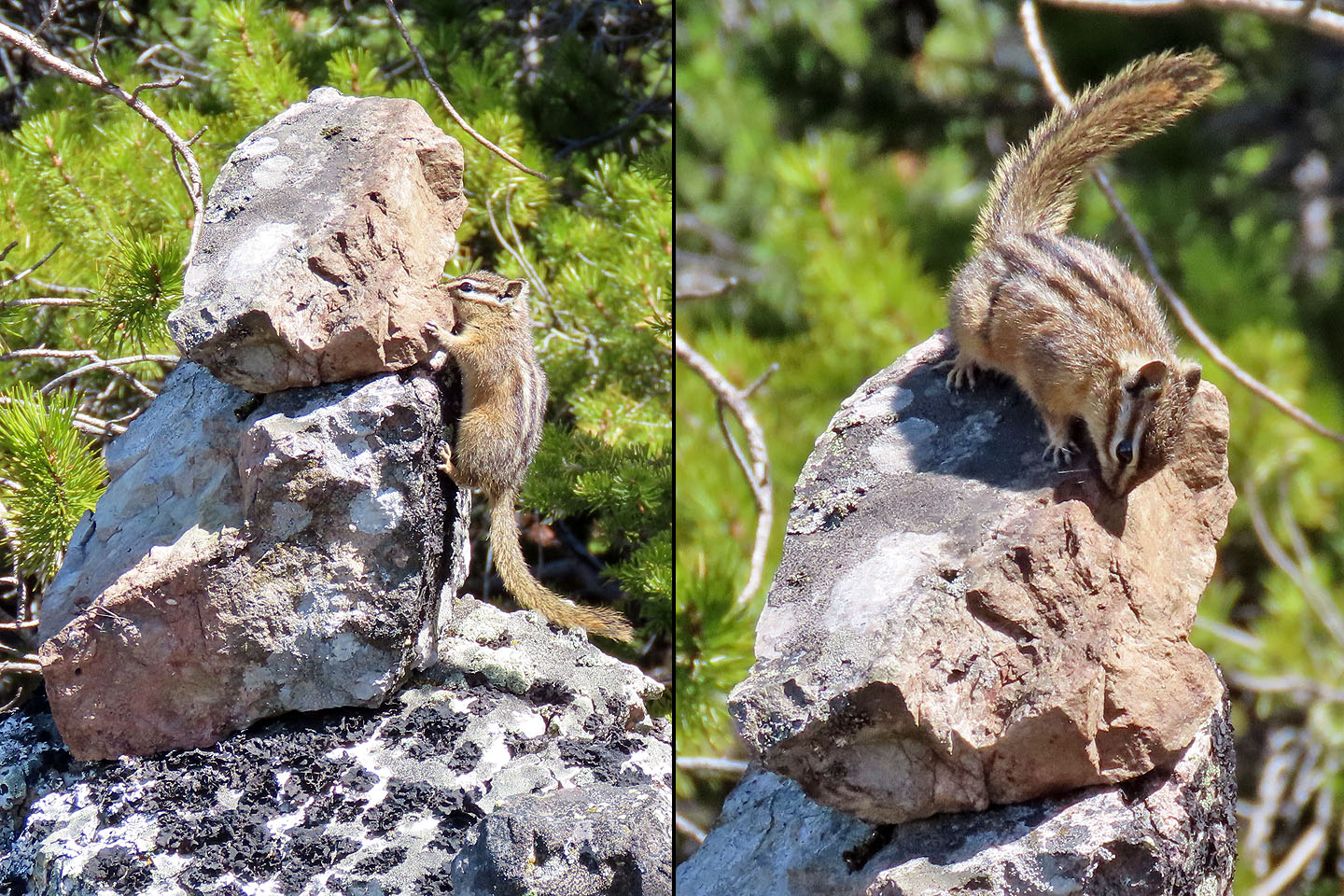
A chipmunk scrambles up the new summit cairn, perhaps to reclaim the summit which is now artificially higher

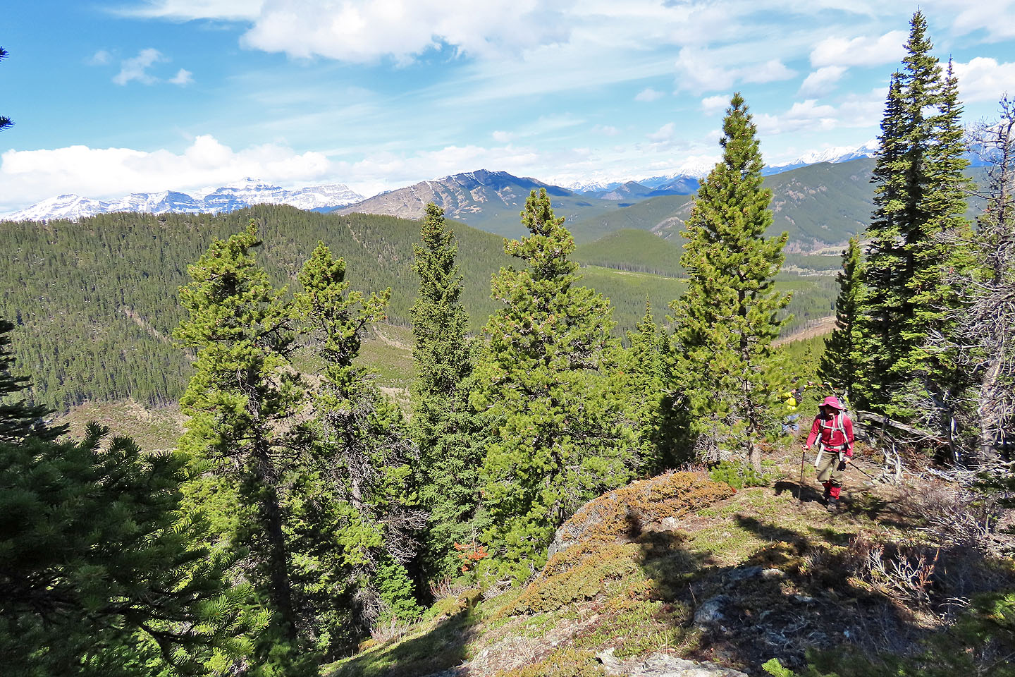
We continued down along the ridge
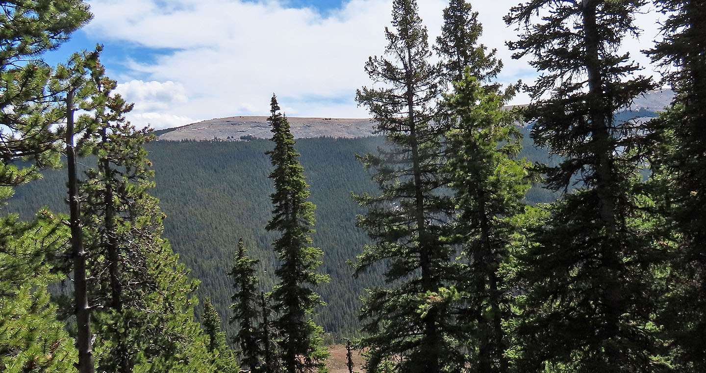
Through the trees we could see the North End of Plateau Mountain
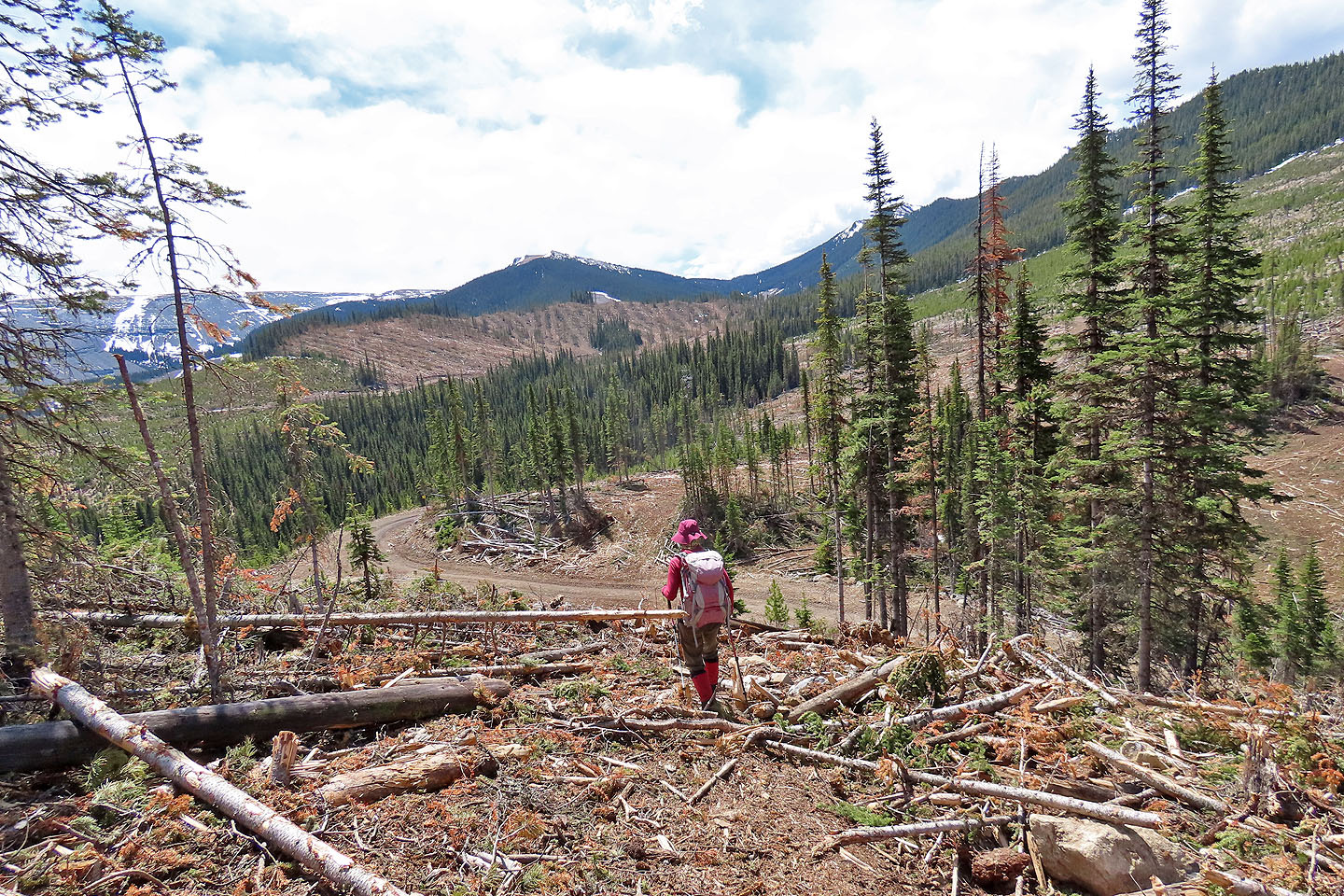
After coming down the ridge, we reached a cutblock. On the right is Gerald's Ridge.
Zosia and Sonny spent several minutes playing teeter-totter
We continued down the ridge to the road below
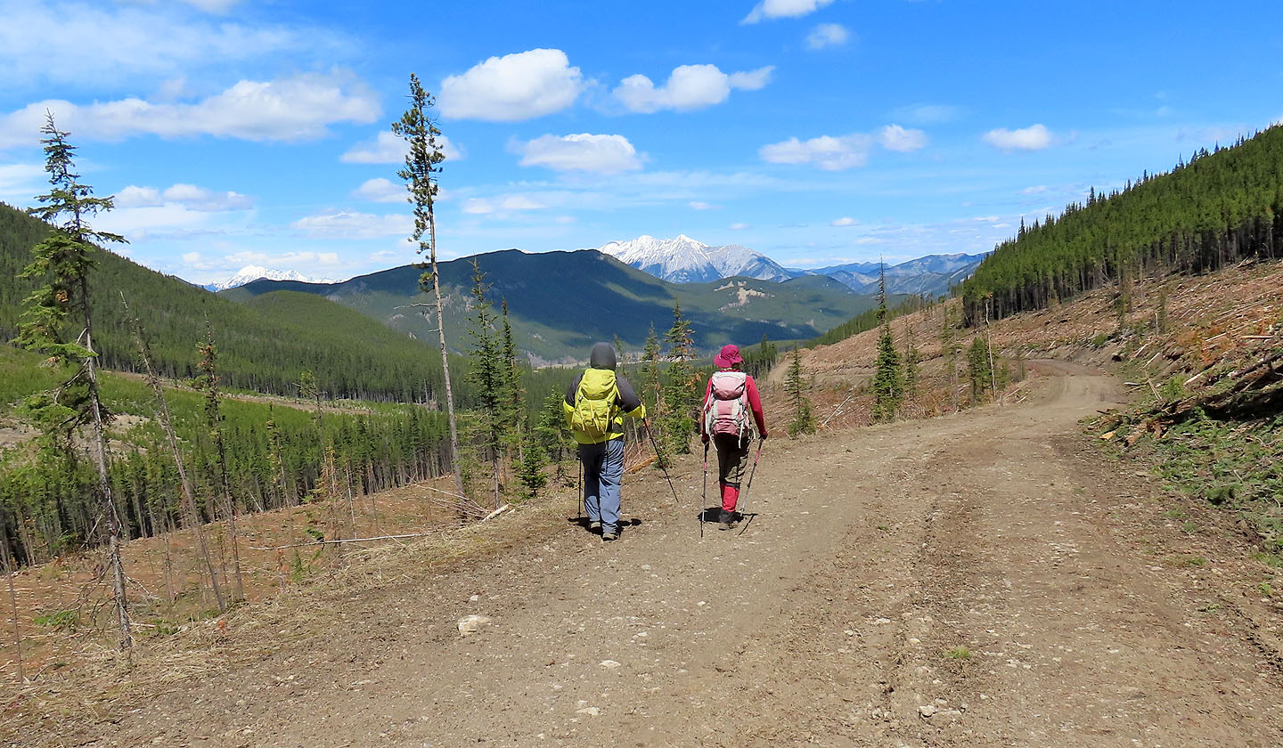
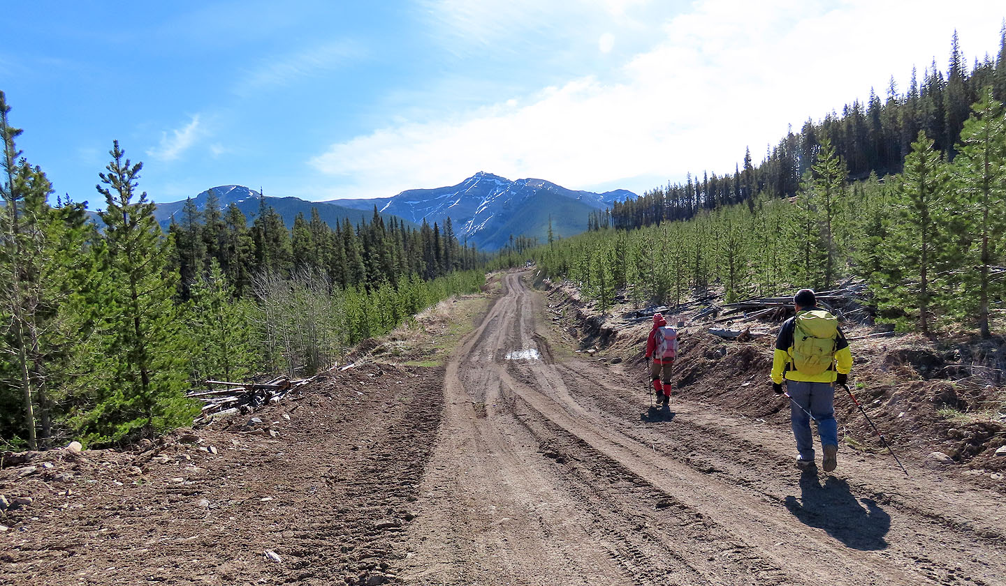
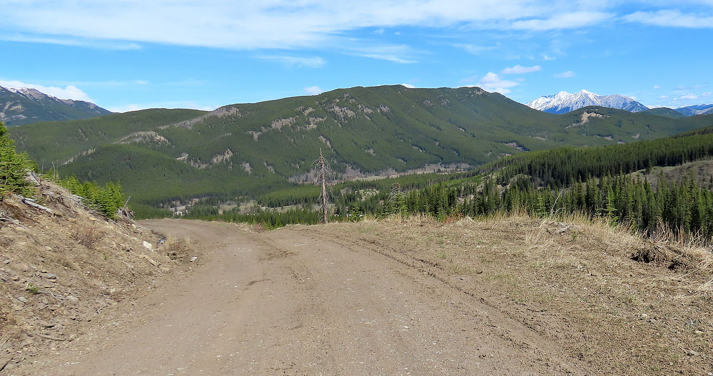
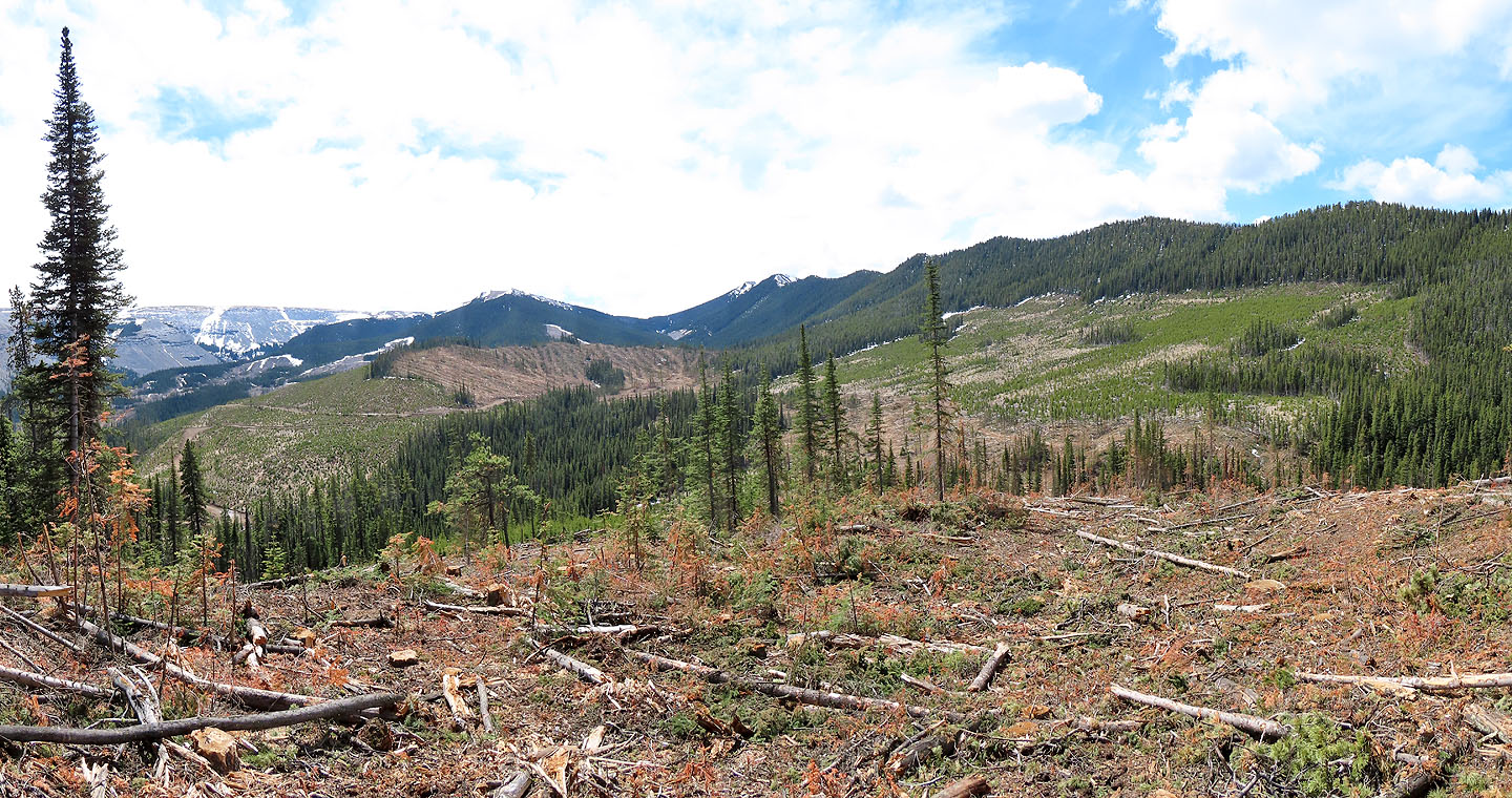
We followed the road but left it before it climbed. In the centre are Mount Head and Holy Cross Mountain.
We dropped down to the start of another road
Heading back to the parking lot
82 J/7 Mount Head