bobspirko.ca | Home | Canada Trips | US Trips | Hiking | Snowshoeing | MAP | About
Raspberry Ridge
Kananaskis, Alberta
November 24, 2007
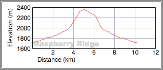
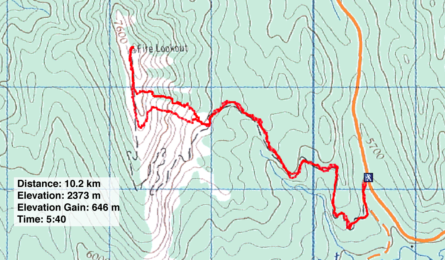
Distance: 10.2 km (6.3 mi)
Cumulative Elevation Gain: 660 m
(2165 ft)
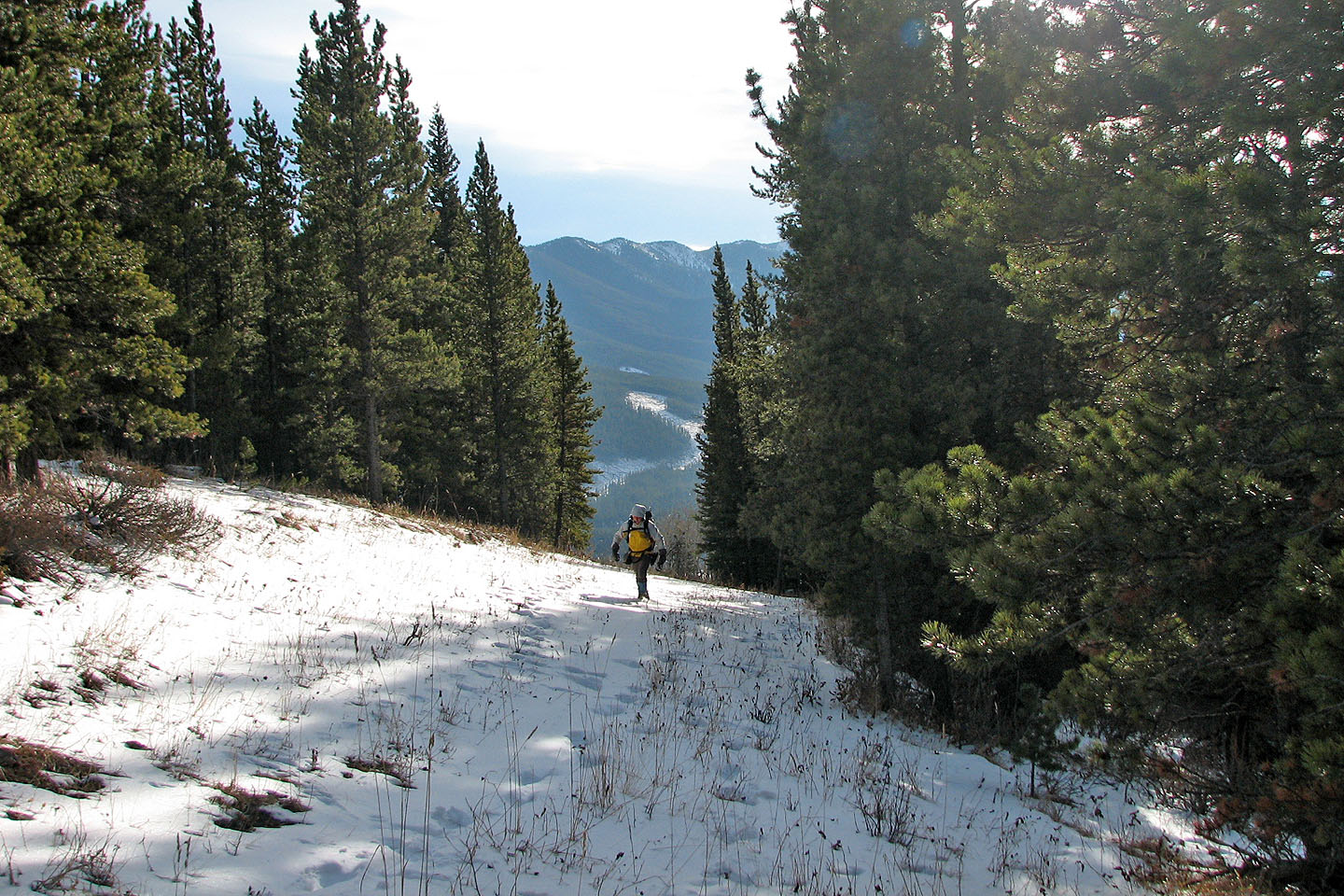
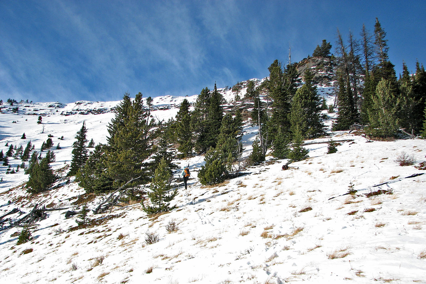
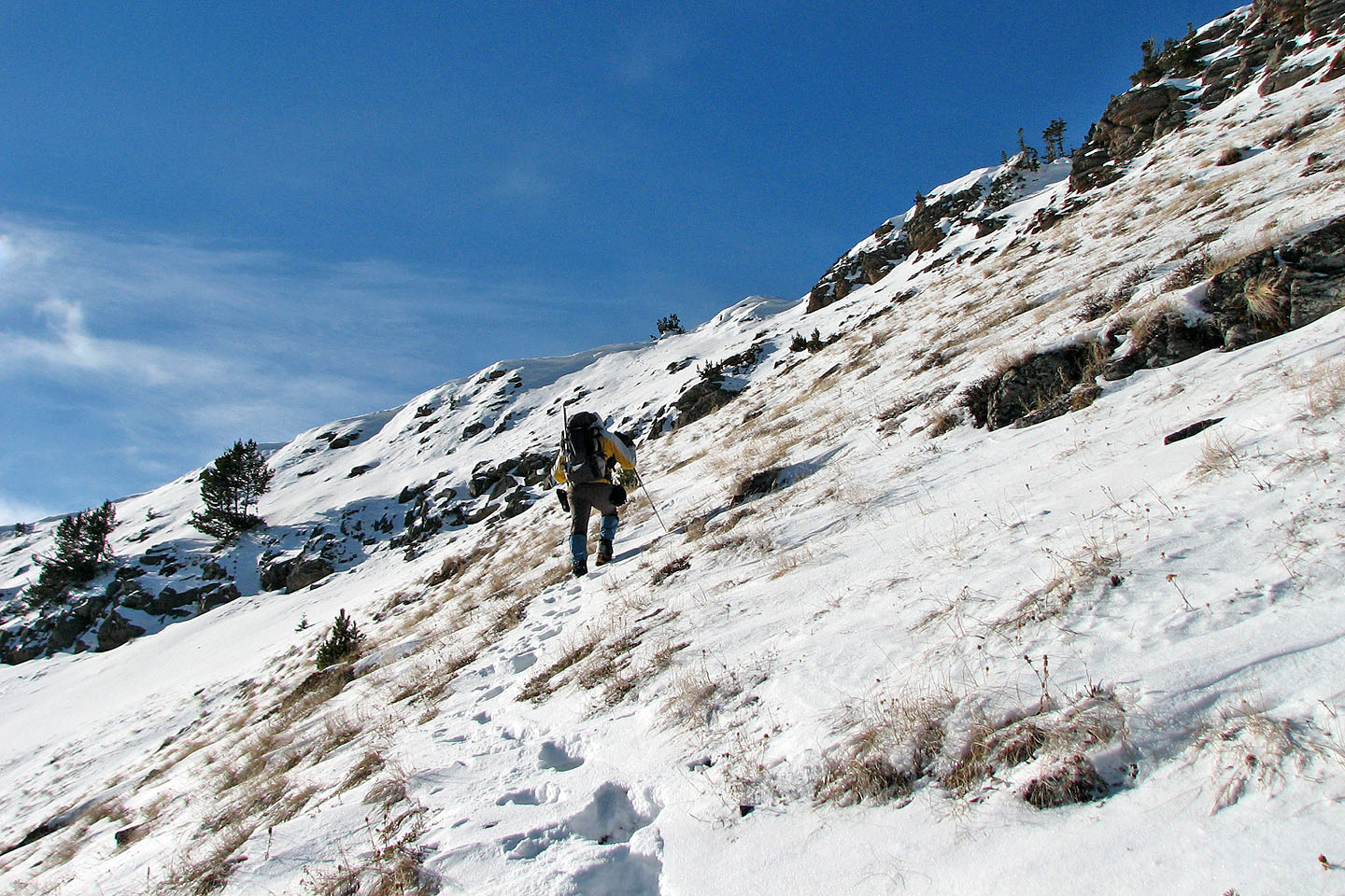
A good trail leads to the lookout on Raspberry Ridge, but because of the snow cover, we followed a GPX track that I downloaded to keep on route. Much of the trail was under a few inches of snow. Just below the crest of the ridge, we pulled out our ice axes to make our way up a hard snow crust.
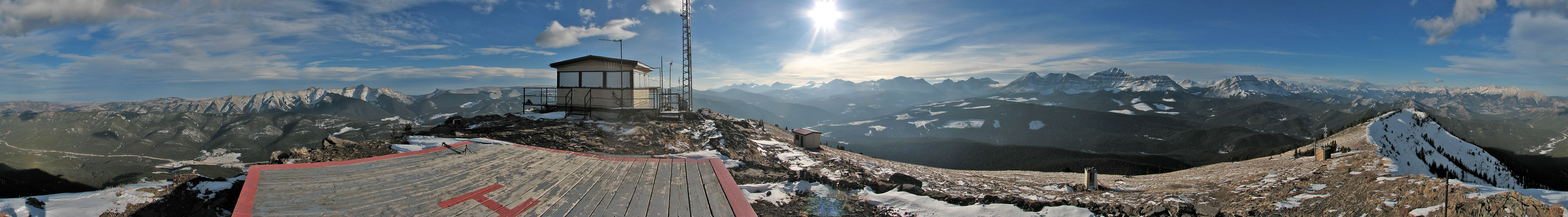
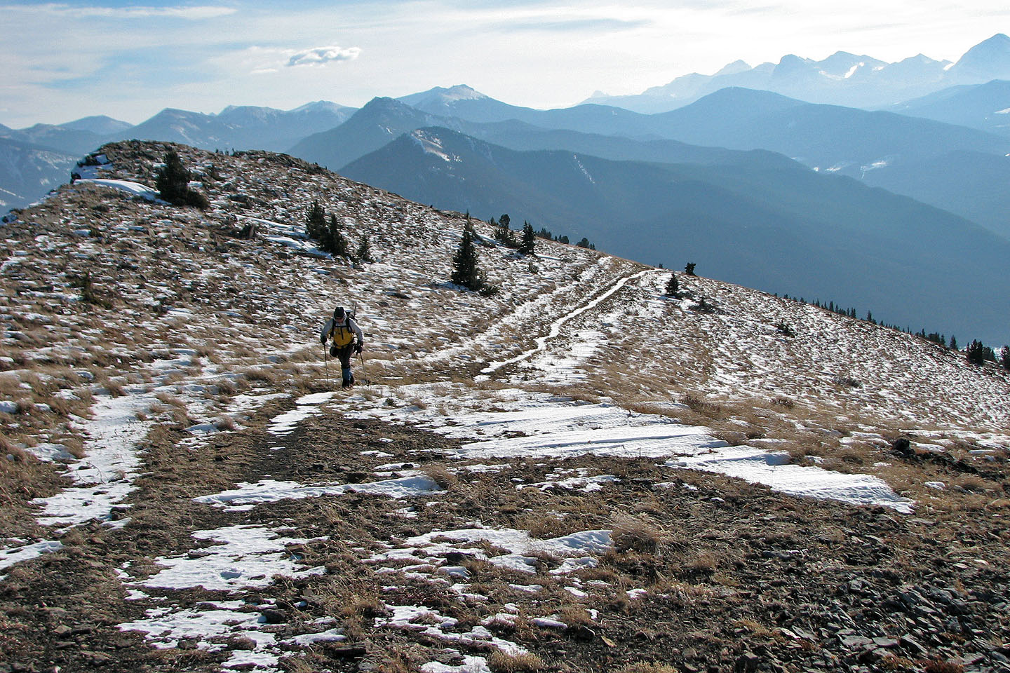
Although we encountered wind on the trail both on the ascent and descent, the summit was dead calm. We spent half an hour on the top enjoying the scenery under blue skies before heading back. Instead of retracing our steps, we hiked south along the ridge for a few hundred metres past the point where we had gained the ridge. It was too nice a day not to extend our outing a bit. We found a break in the ridge, and then made our way back to the trail on the lower slopes of the mountain.
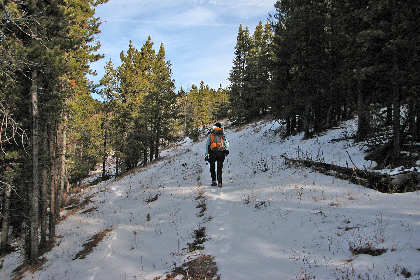
Heading up the trail
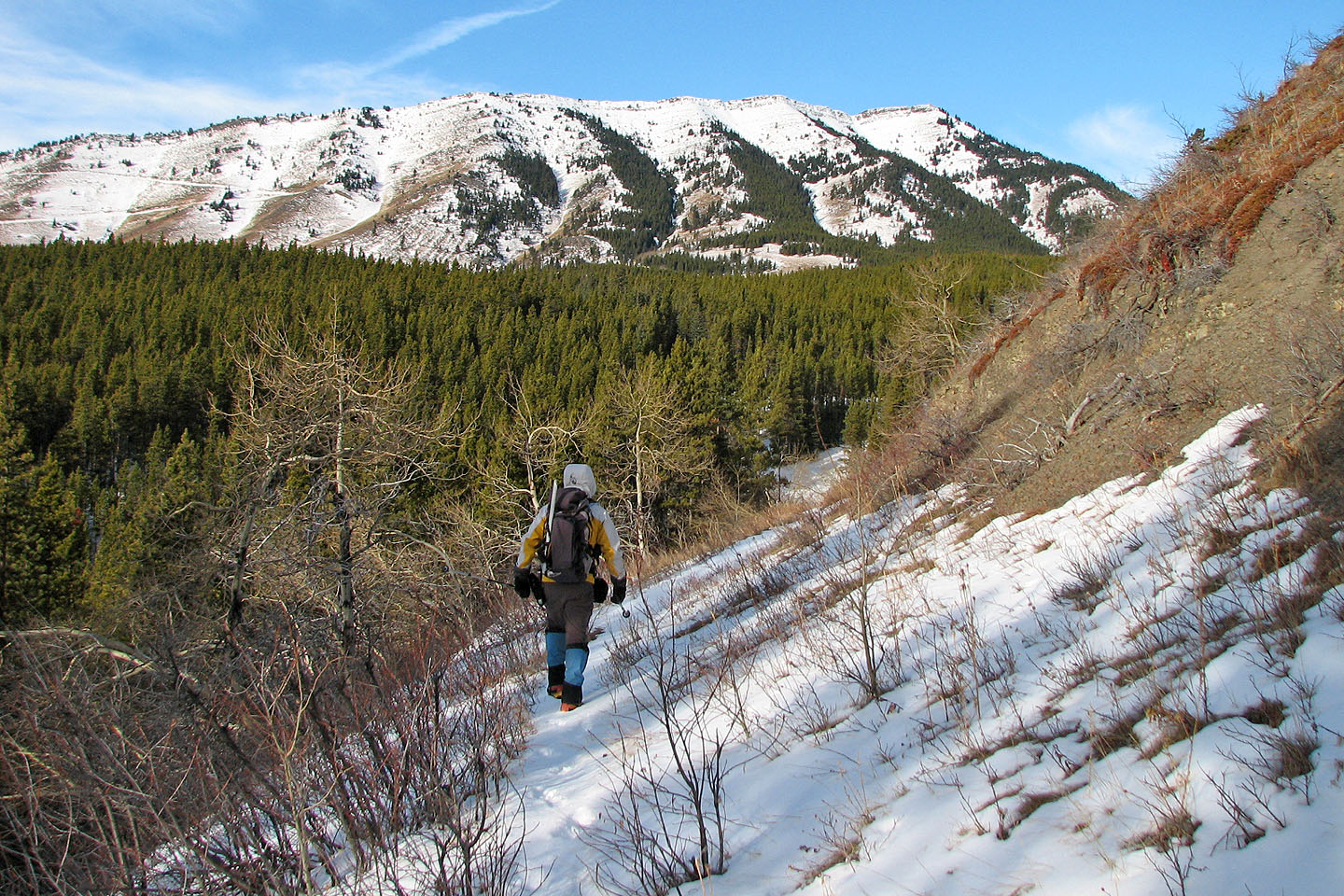
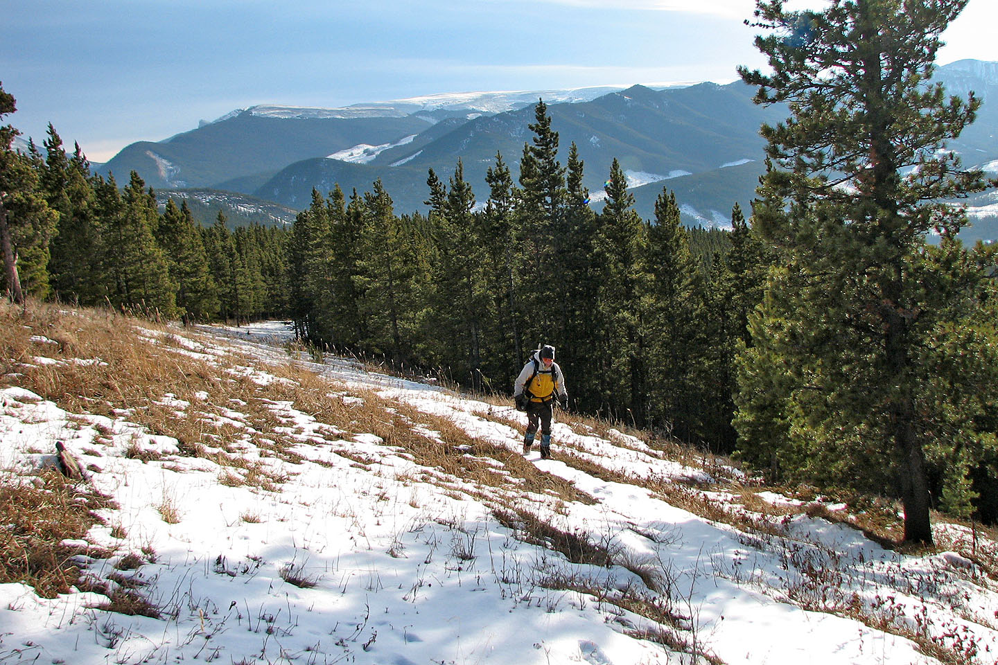
Raspberry Ridge ahead
The trail was easy to follow, even in snow
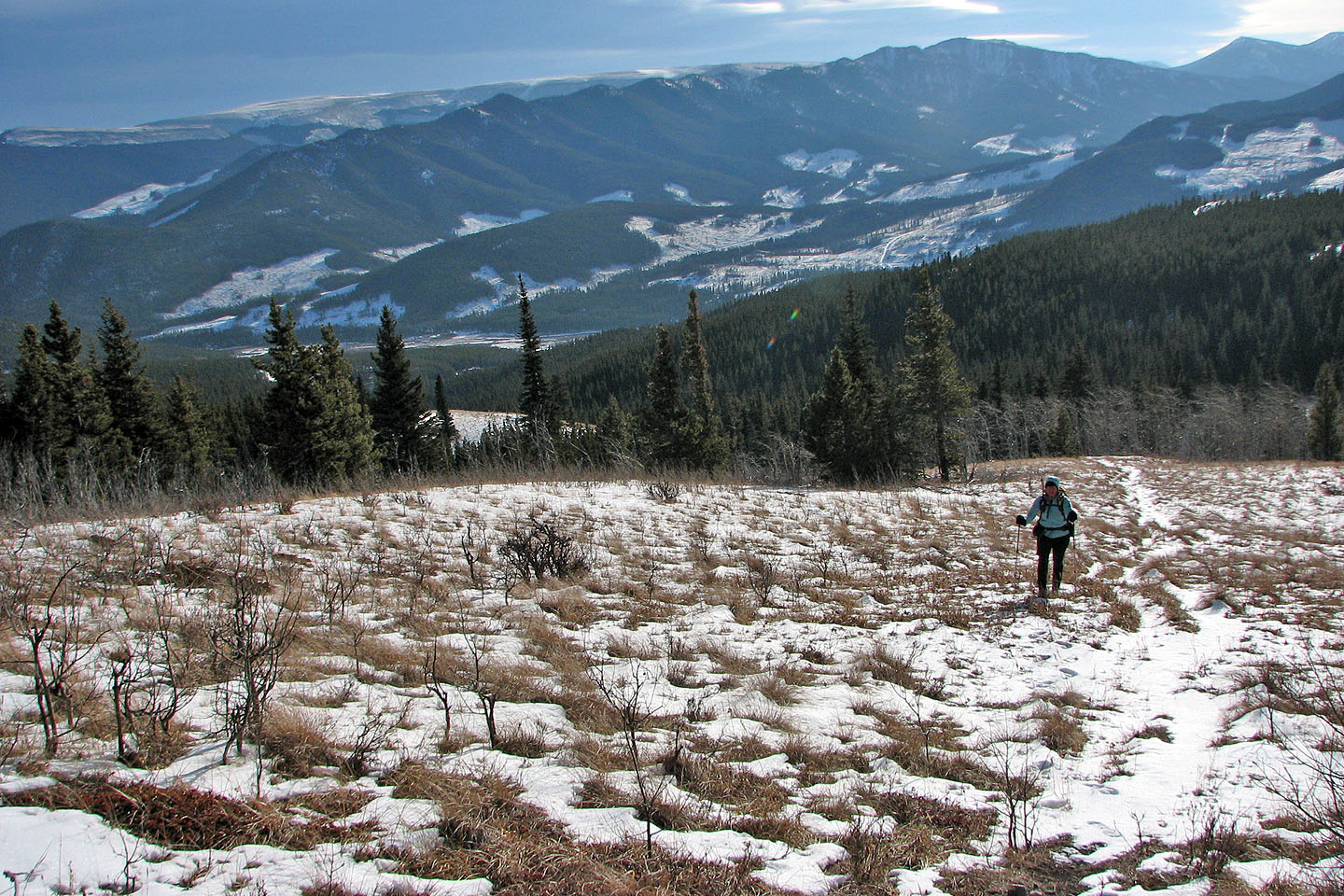
North End of Plateau Mountain in the
background
Mount Burke above me (mouse over for a close-up).
Sentinel Peak (sharp point) on the right.
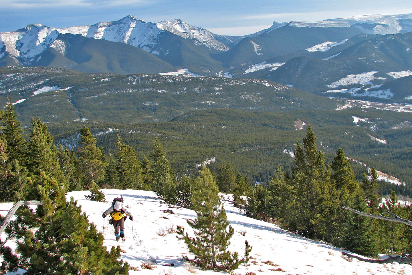
As we climbed higher, the views really opened up
The ridge crest is close now
We kept to the snow-filled trail and ascended the break in the cliff band on the right
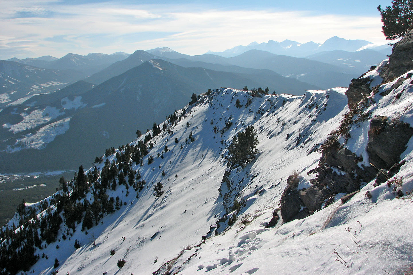
Looking south along the ridge
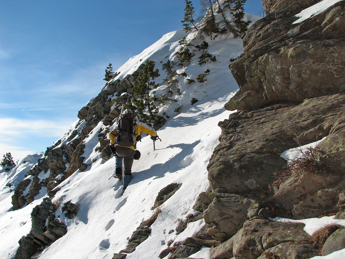
Ascending the weakness in the cliff band
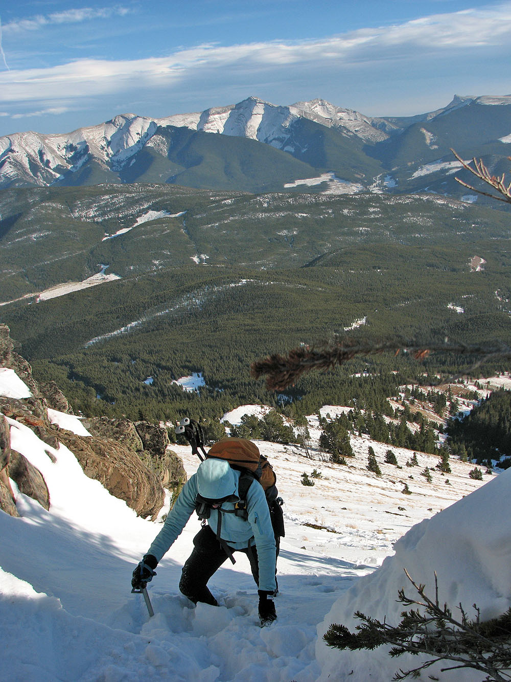
Dinah followed me up the break
There was little snow on the crest of the ridge
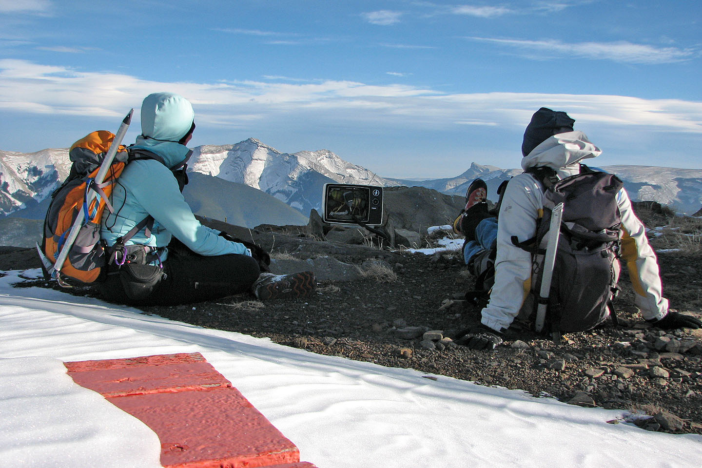
We sat down to watch TV on the summit. "The Grasshopper and The Microphone" was playing (mouse
over).
82 J/7 Mount Head