bobspirko.ca | Home | Canada Trips | US Trips | Hiking | Snowshoeing | MAP | About
Gerald’s Ridge (Ridge 735663)
Kananaskis, Alberta
July 9, 2011
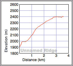
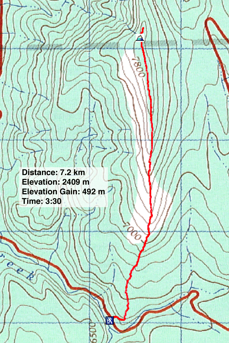
Distance: 7.2 km (4.5 mi)
Cumulative Elevation Gain: 510 m (1673 ft)
The Kananaskis Country Trail Guide recommends doing Ridge 735663, or Gerald's Ridge as Alltrails calls it, as a traverse with cars at either end. After taking care of some necessary business in the morning, Dinah and I only had time for a quick trip so we hiked up the south end to the summit and returned. Being the shortest way to the top, it left the bulk of the ridge traverse untouched.
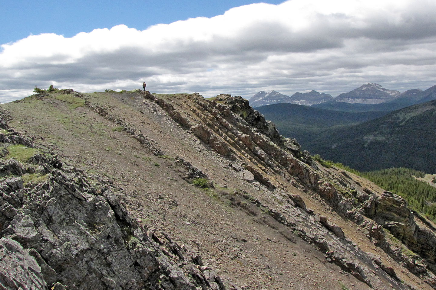
The trip began like a lion but soon turned into a lamb. After ascending a steep, rugged slope, the climb relaxed into a plod with little variety. We followed the ridge to the summit. The views were far from outstanding, but we were jaded since we had climbed many of the surrounding peaks, all of them higher than Gerald's Ridge. But despite the familiar scenery and a strong wind that attempted to blunt our spirits, it felt good to reach the open summit with its far-reaching views.
Postscript: In 2024, I returned with a few friends to climb the north end of the ridge. We didn't get far as we found it fraught with bushwhacking issues.
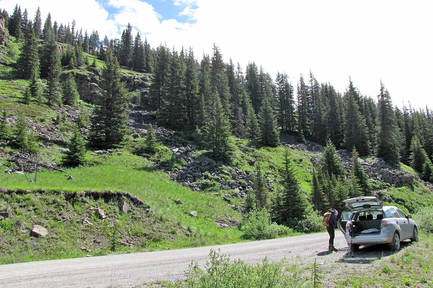 The trailhead: we started up the slope, keeping right
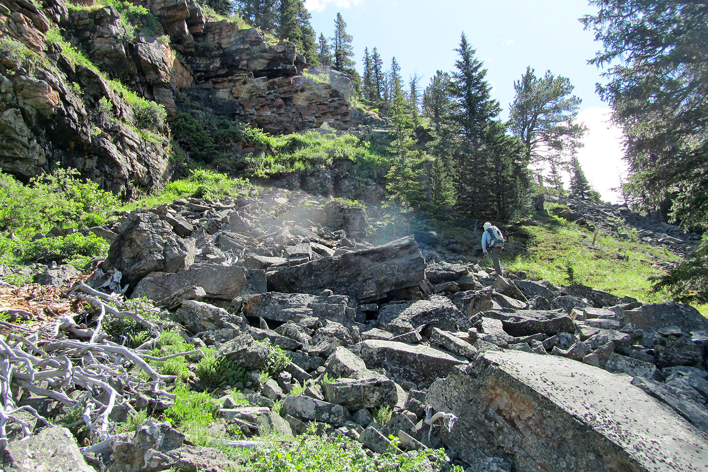
We climbed alongside a bluff until it petered out
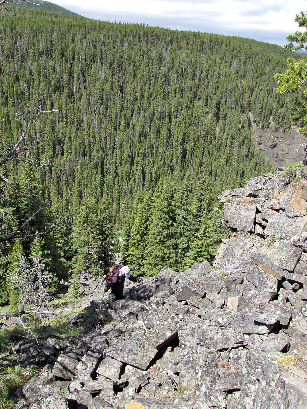
Dinah climbs the rocks behind me
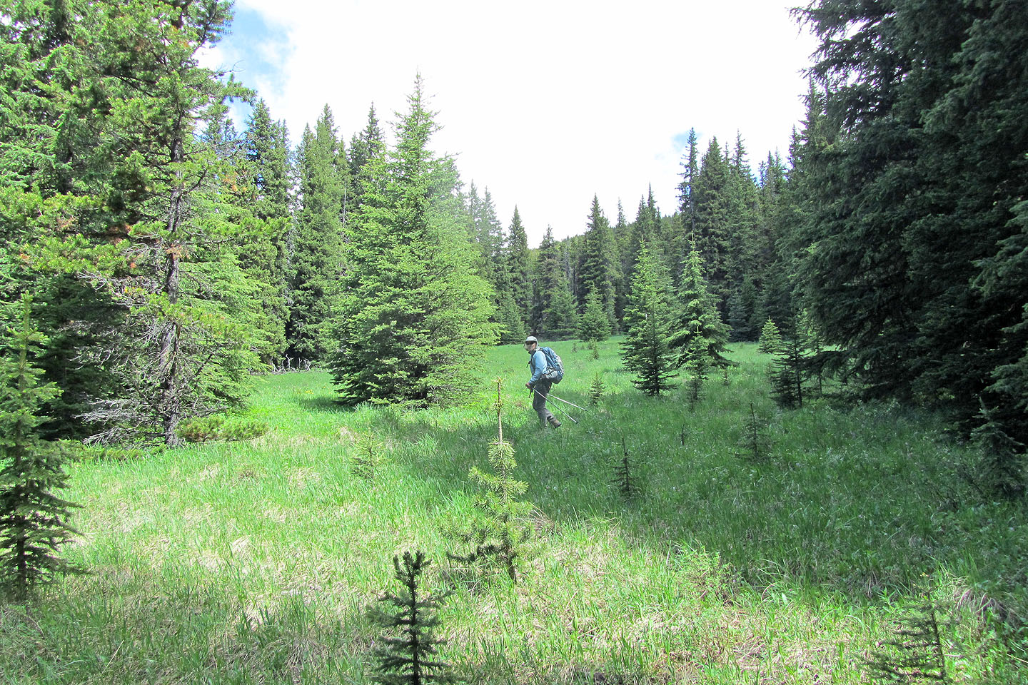
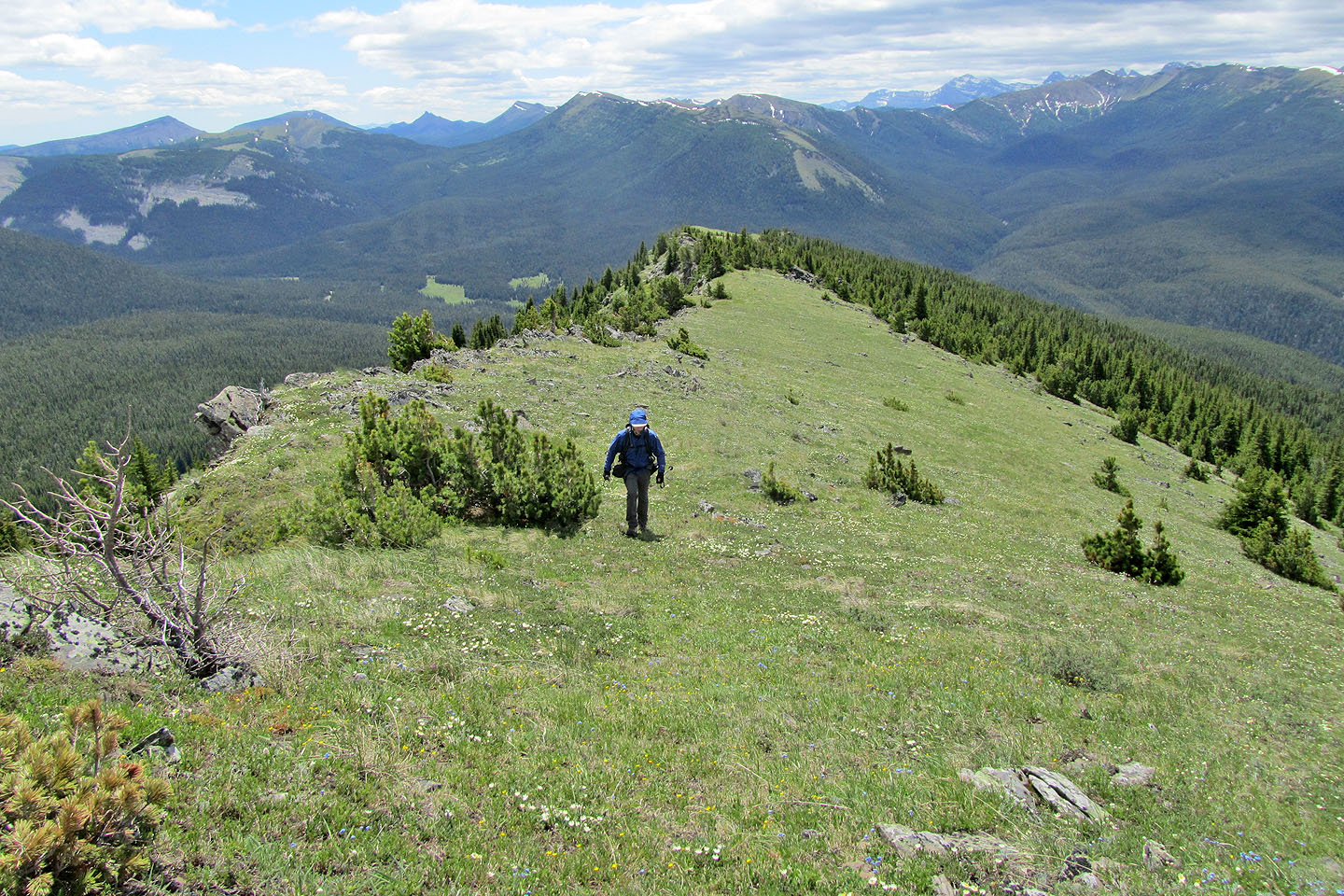
Soon after gaining the ridge, we broke out onto a meadow
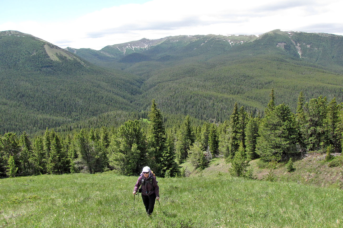
We followed alongside a drainage for hundreds of metres. East Peak of Pasque Mountain behind.
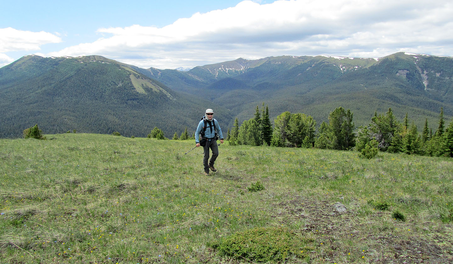
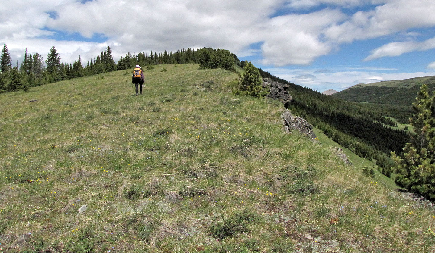
The grassy slope was rather monotonous
It eventually reaches trees
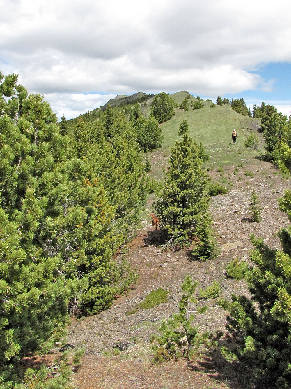
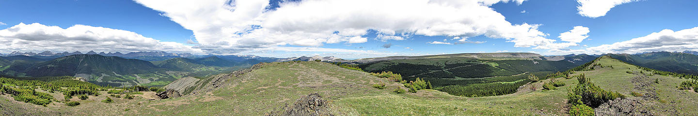
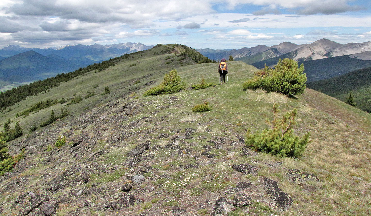
In the distance we see ... a false summit
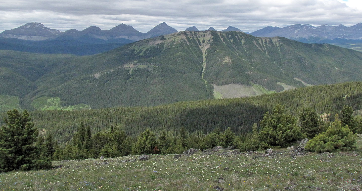
Raspberry Ridge lies northwest
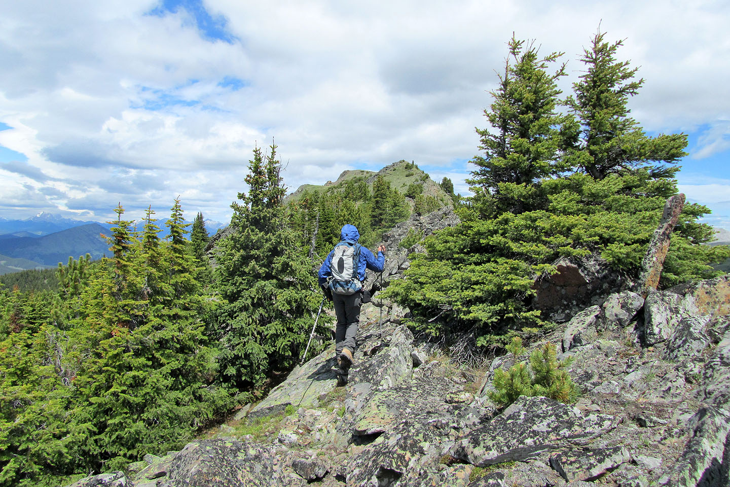
Heading to the false summit
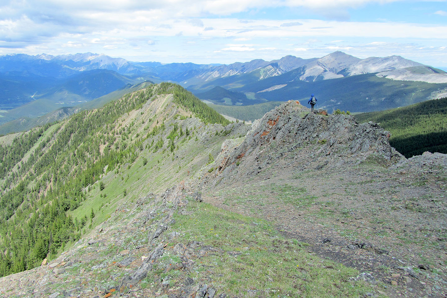
True summit seen from the false summit
Looking back along the ridge
Looking at the lower north summit from the true summit
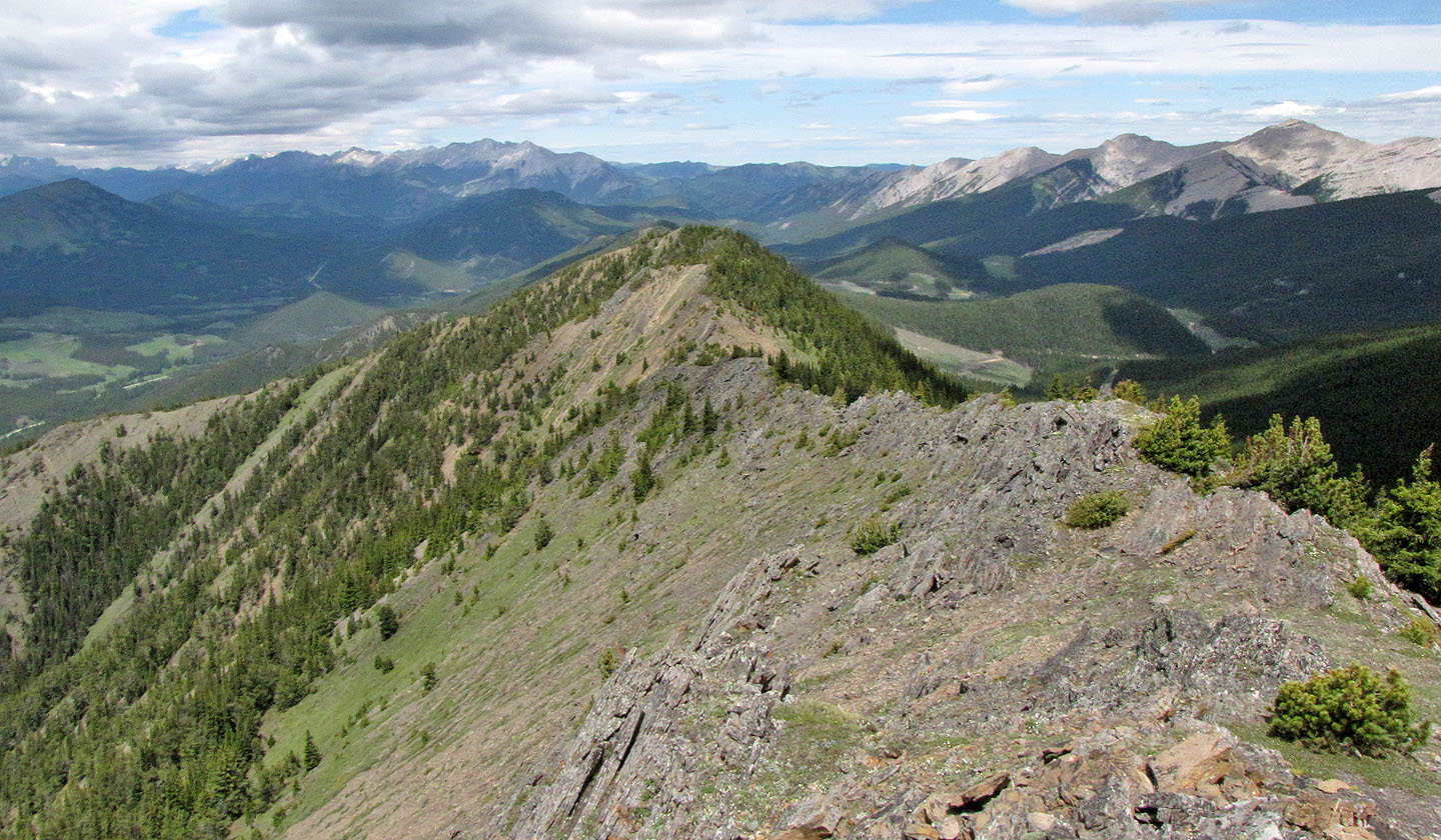
View ahead of the ridge
Looking back at Dinah
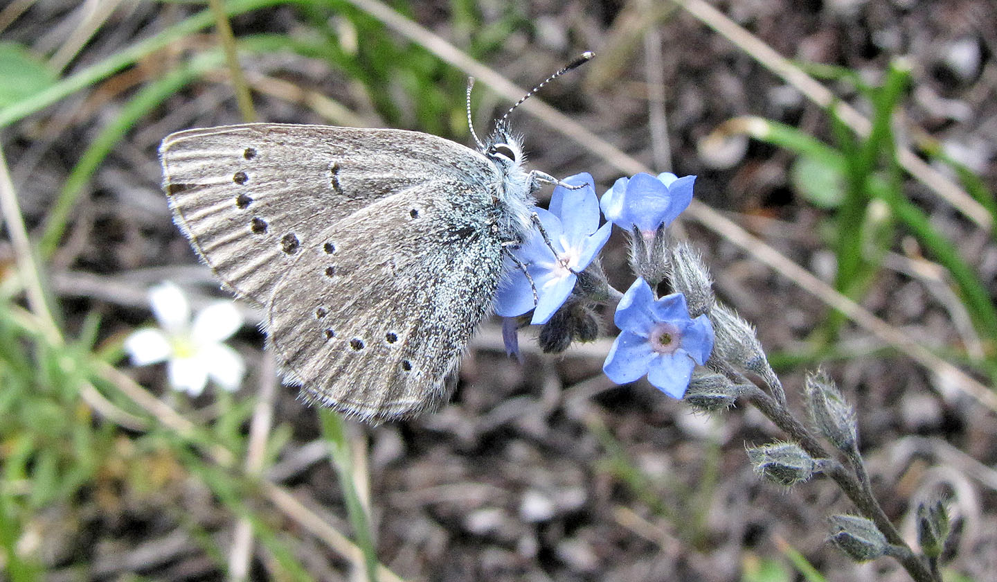
Greenish blue gossamer wing butterfly on a Forget-Me-Not
82 J/2 Fording River