bobspirko.ca | Home | Canada Trips | US Trips | Hiking | Snowshoeing | MAP | About
Bluerock Knob
Kananaskis, Alberta
November 3, 2012
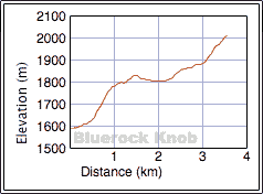
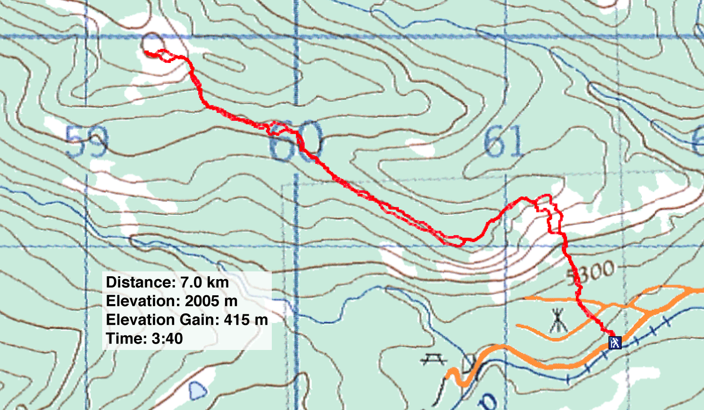
Distance: 7.0 km (4.3 mi)
Cumulative Elevation Gain: 466 m (1529 ft)
Since Dinah was recovering from a knee injury, a long hike was out of the question; we decided to do a half-day hike in the Sheep River area. The Knob, as it's called in the 4th edition of the Kananaskis Country Trail Guide, is reached by starting from Bluerock Campground.
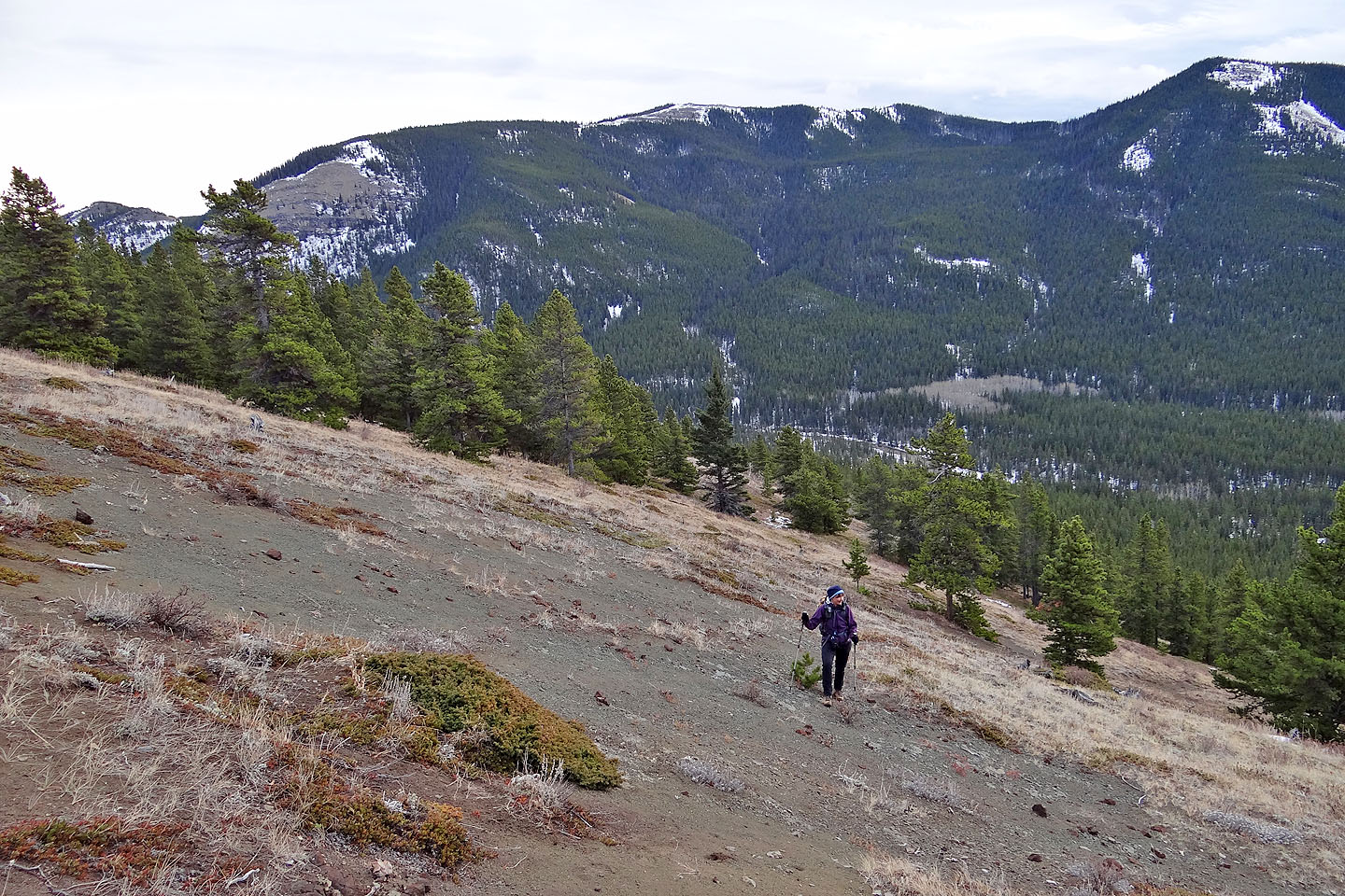
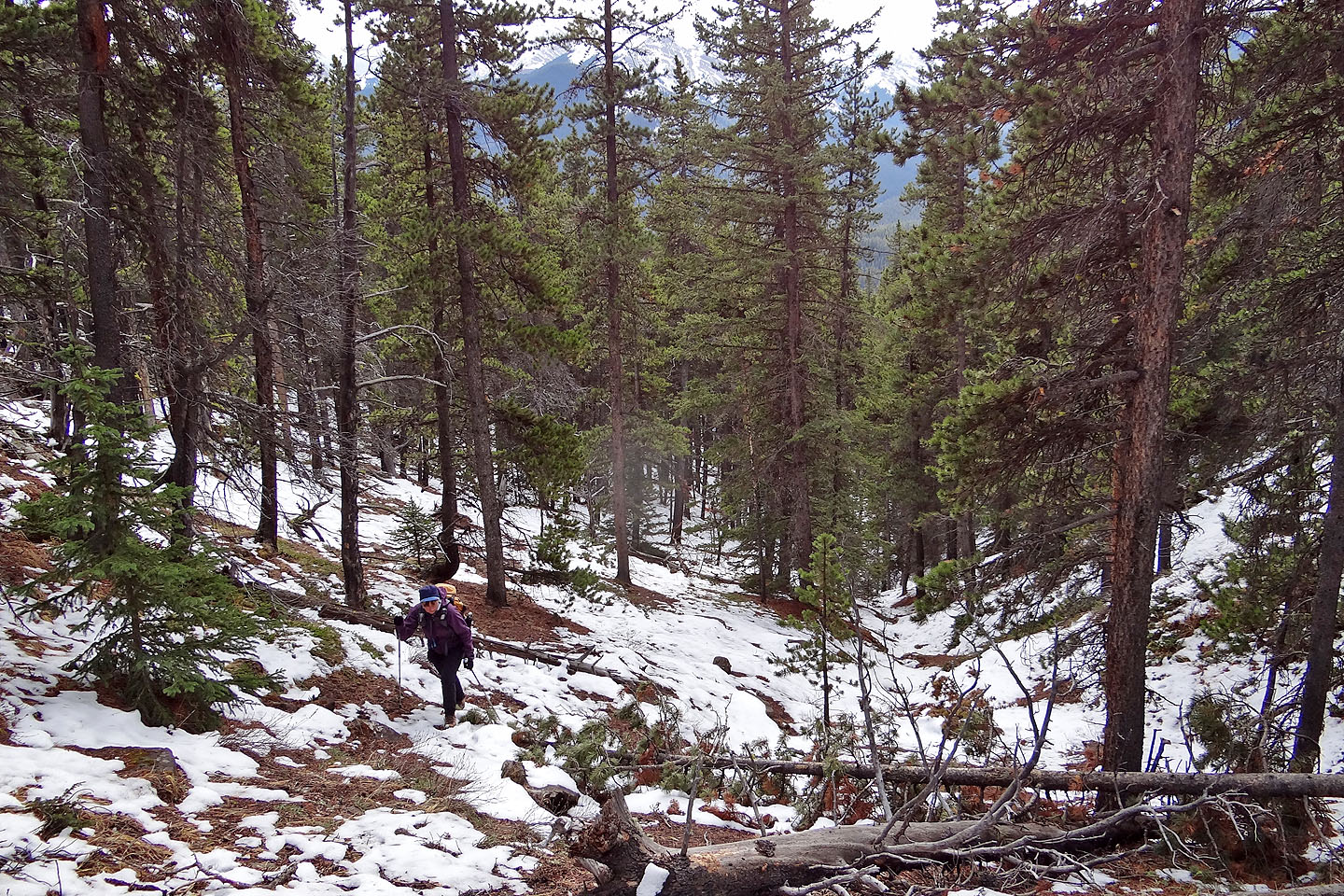
We followed a rib on the right side of a gully to reach the open slopes above the campground. At the top of the ridge, we took a trail to a viewpoint. Beyond the viewpoint there were no trails, no human ones anyway, but there are some excellent animal paths. After dropping down a bit, the terrain resolved into a minor ridge not seen on the map. Sticking close to the top, we encountered extensive deadfall, but as we learned on our return, this deadfall can be avoided by using an animal trail a bit south. If you are ascending, detour well left of the logs and you should hit this trail.
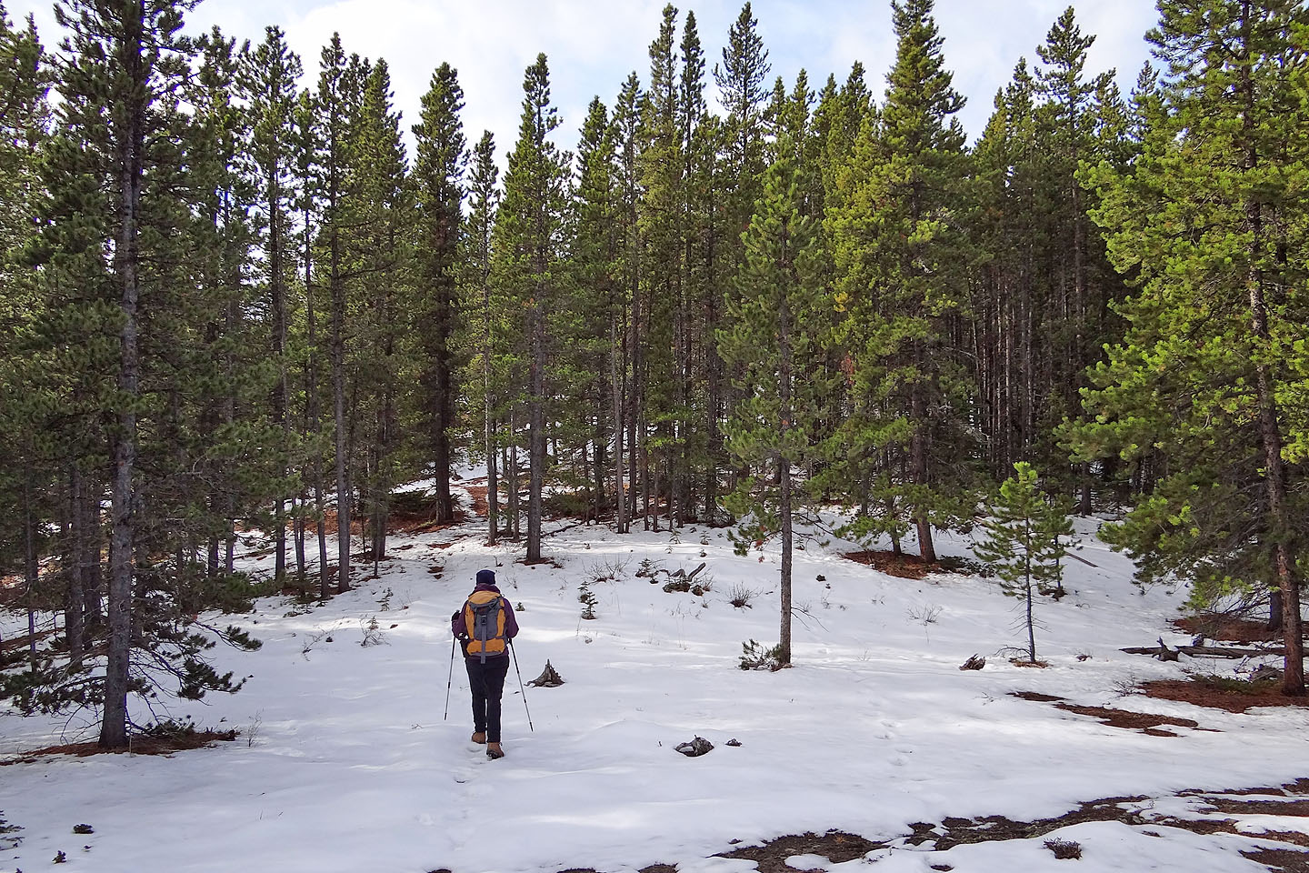
When the ridge disappeared into the slope, we hiked up and through deadfall. This time we climbed over downed trees that appeared unavoidable. After that we encountered little deadfall or underbrush in the forest. Although we were tempted to gain the ridge, we stayed low and contoured along the slope. Fortunately this proved easy because of a good animal trail – or I should say a series of disconnected trails that we pieced together – that neatly traversed all the way to a gully below the summit. After hiking up the semi-open gully, The Knob was just a few minutes away.
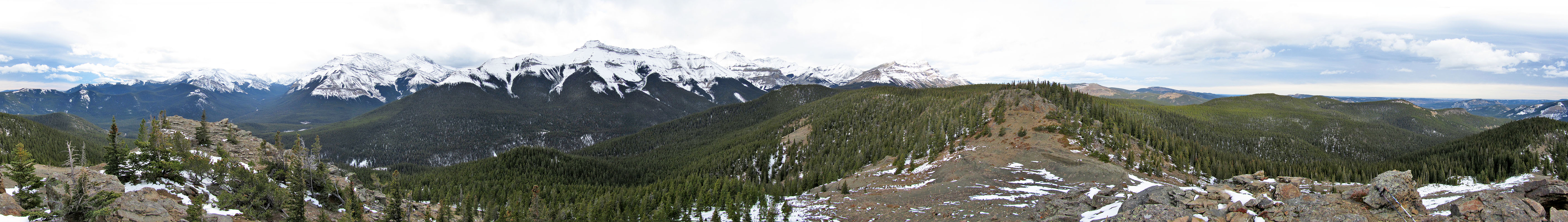
The bare summit rises above the forest to provide ample views of the surrounding mountains, and the scenery didn't disappoint. Mountains to the west such as Mount Burns were under snow, while eastward, Mount Ware and Forgetmenot Mountain still enjoyed dry slopes. On our way back to the viewpoint, we stuck to the animal trails when possible. Because of those trails, the trip was easier and more enjoyable than I expected.
Postscript: We returned in 2021 to ascend a nearby highpoint and traverse the east ridge, both worthwhile extensions to Bluerock Knob.
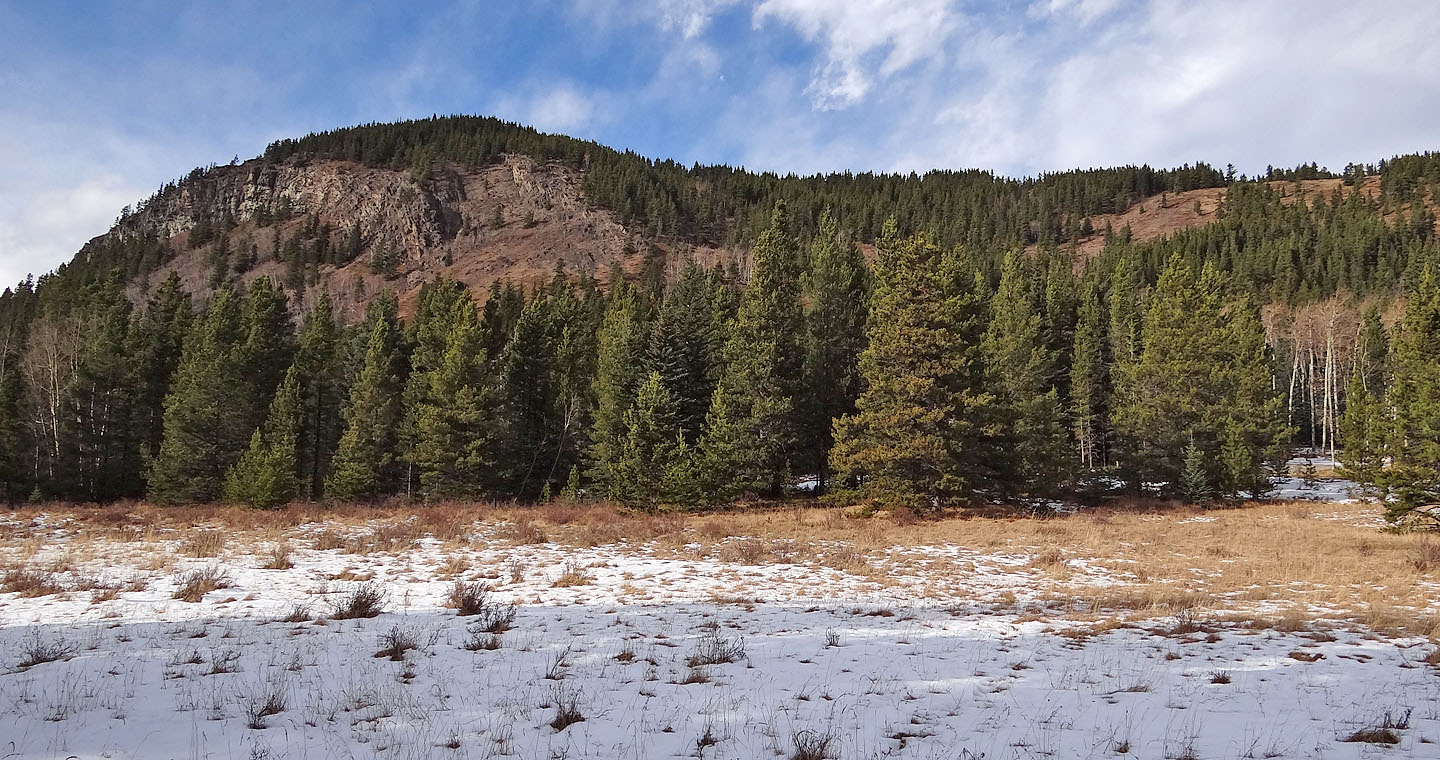
View from Bluerock Campground: we ascended the open slopes on the right and traversed left
to the viewpoint
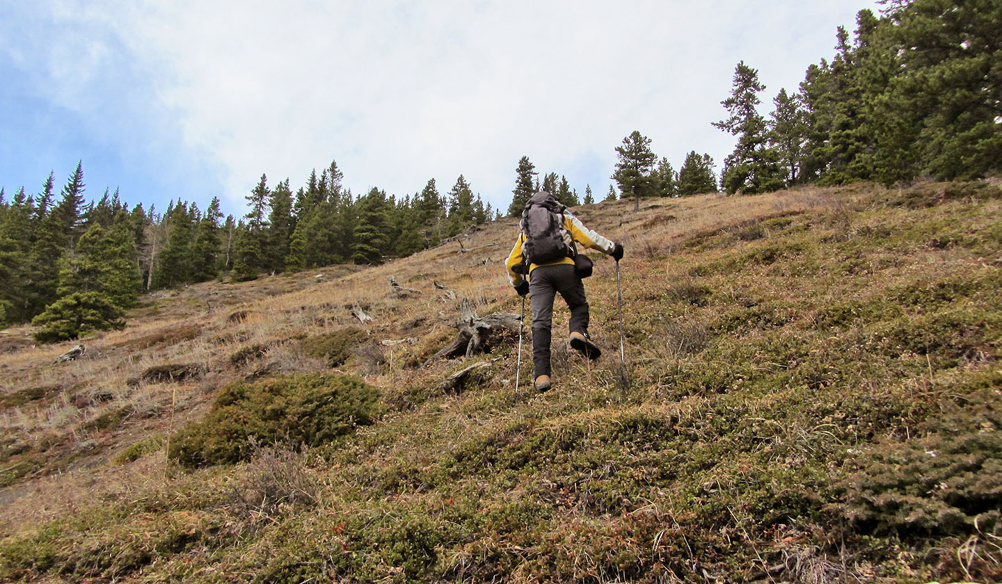
Hiking up the open slopes
Mount Hoffman lies east
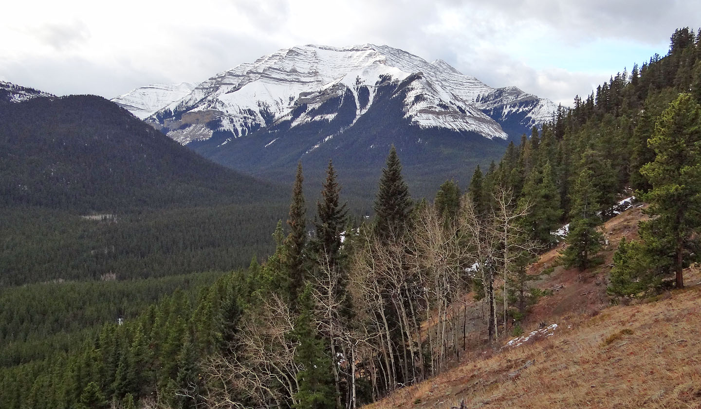
Shunga-la-she is west
Following a path on the ridge
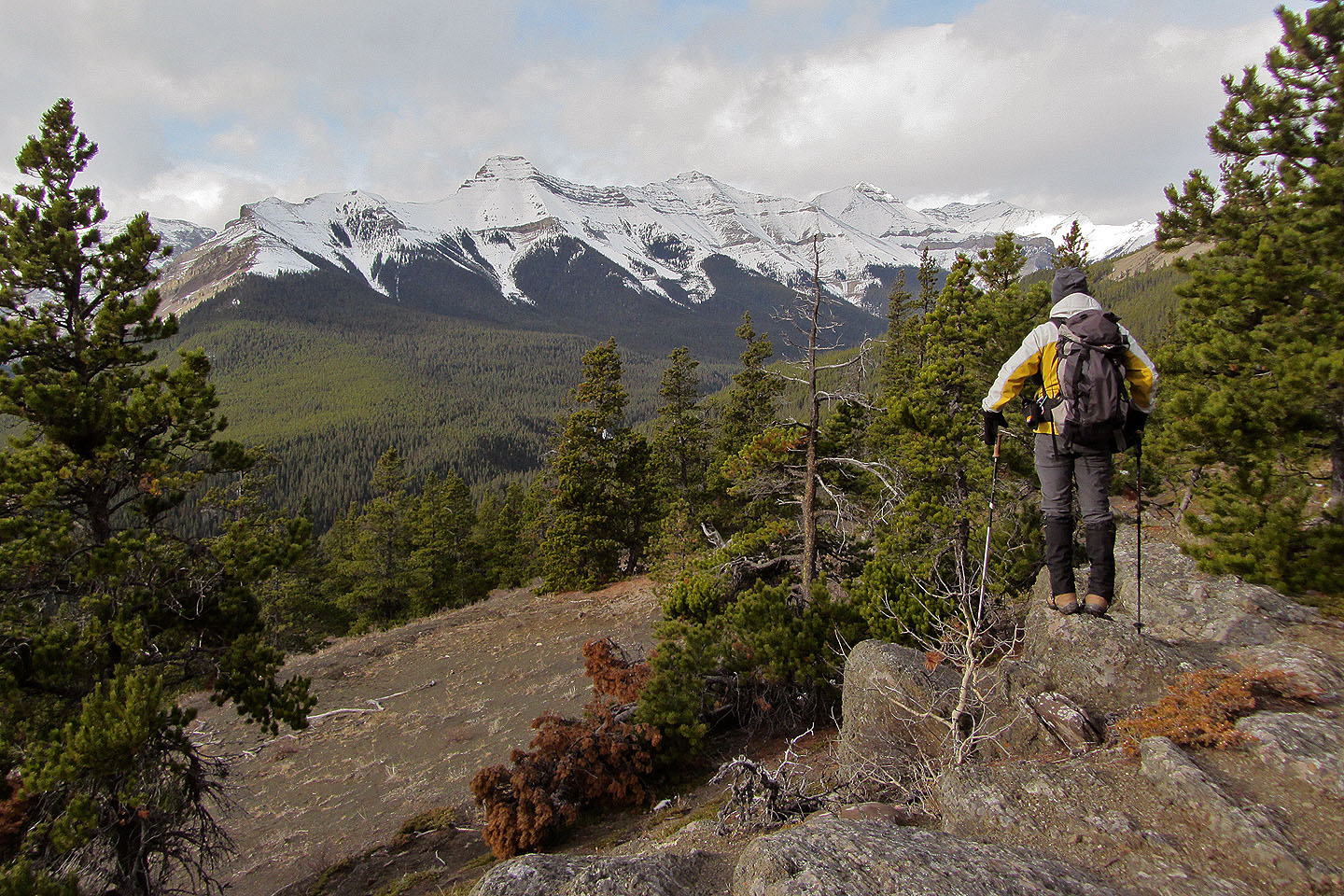
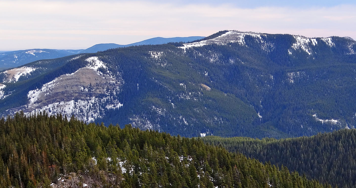
Mount Burns seen from the viewpoint
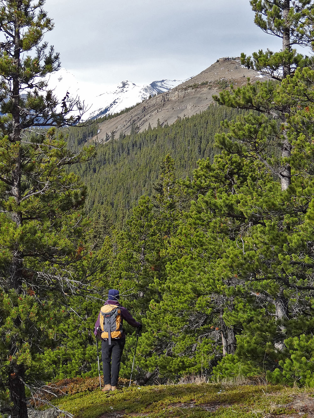
The Knob lies ahead
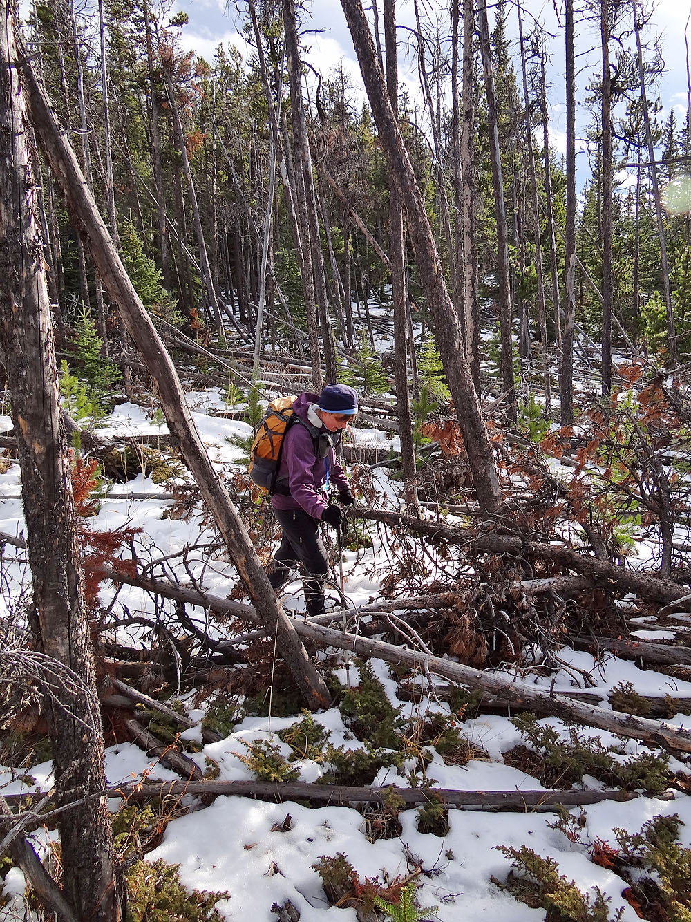
On the descent, we found an animal trail that avoided this deadfall
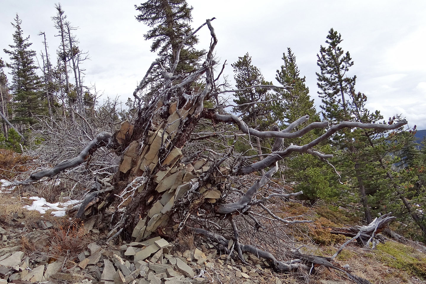
Uprooted tree
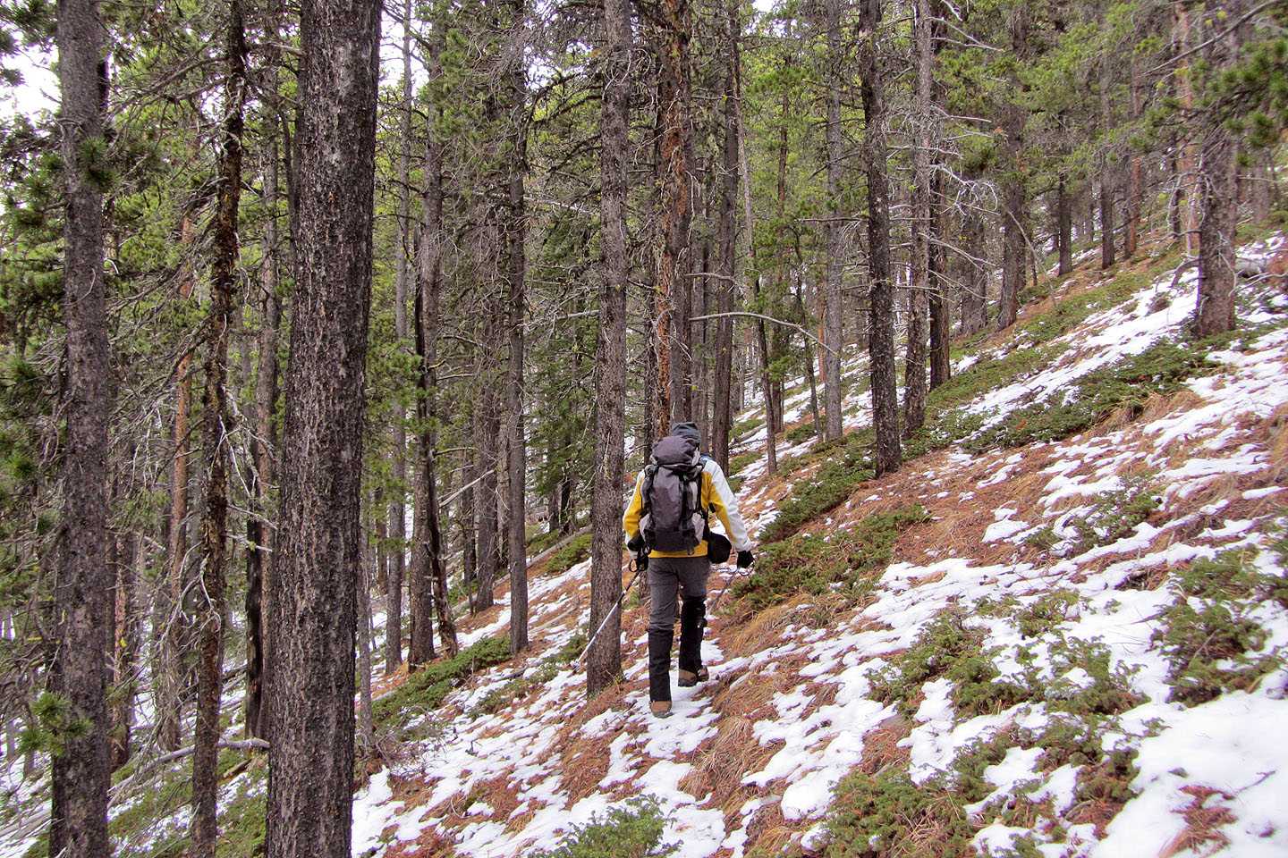
We followed animal trails that traversed the slope
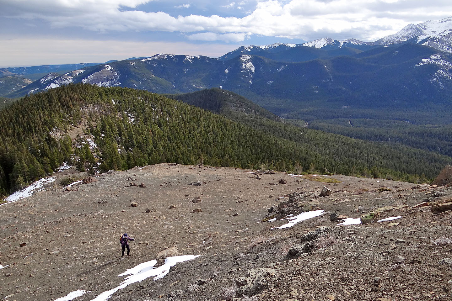
The trails led to this gully
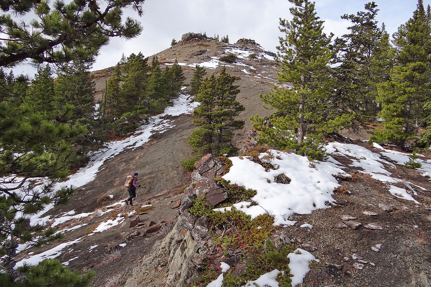
The gully tops out with a view of the summit
The summit is on the right
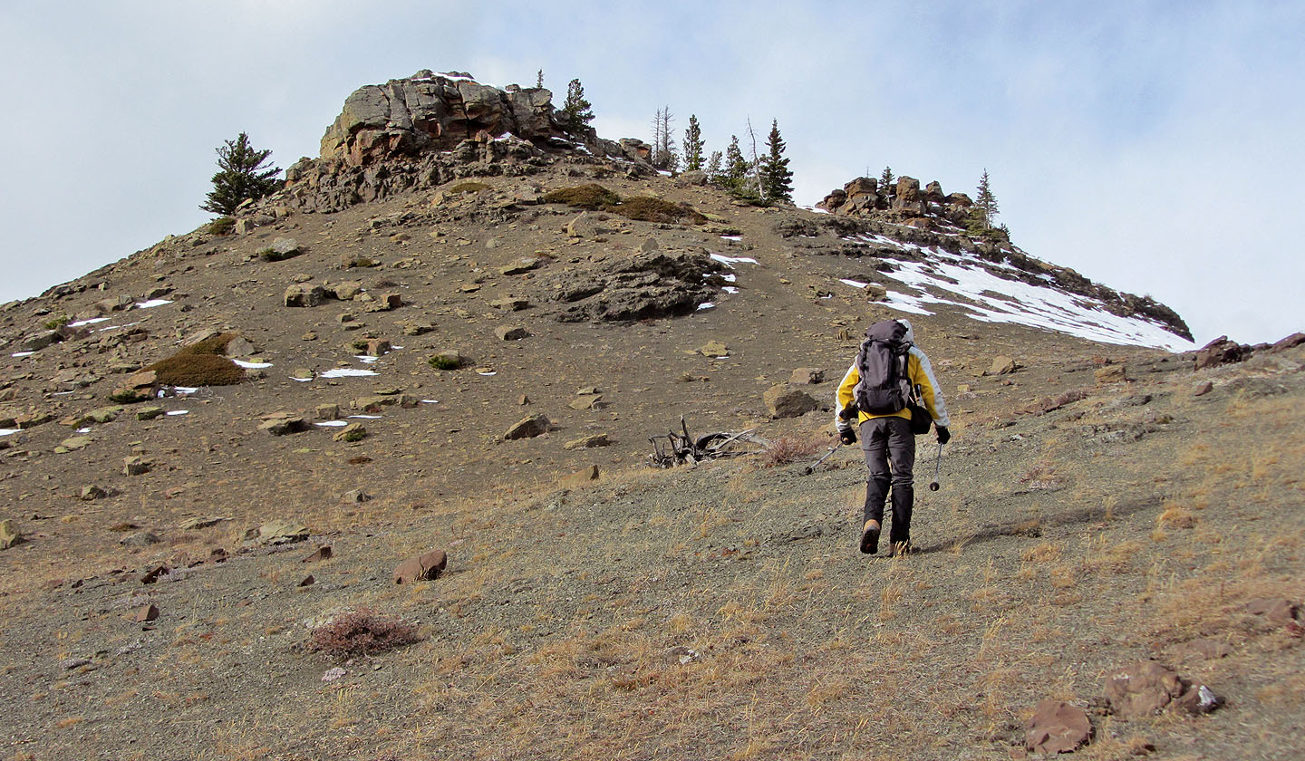
Heading to the summit
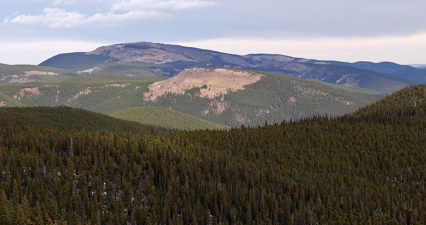
Looking back
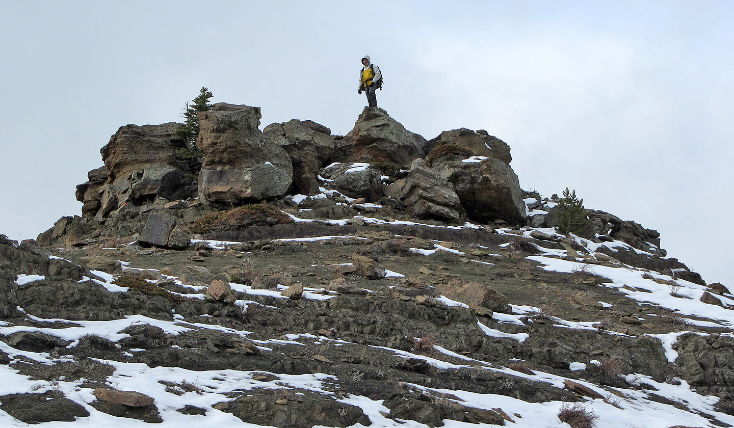
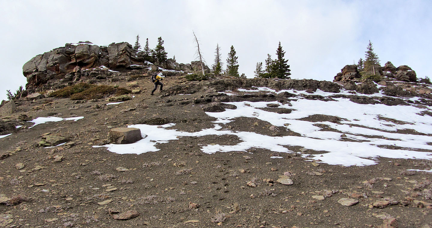
The summit appears to be a pile of boulders
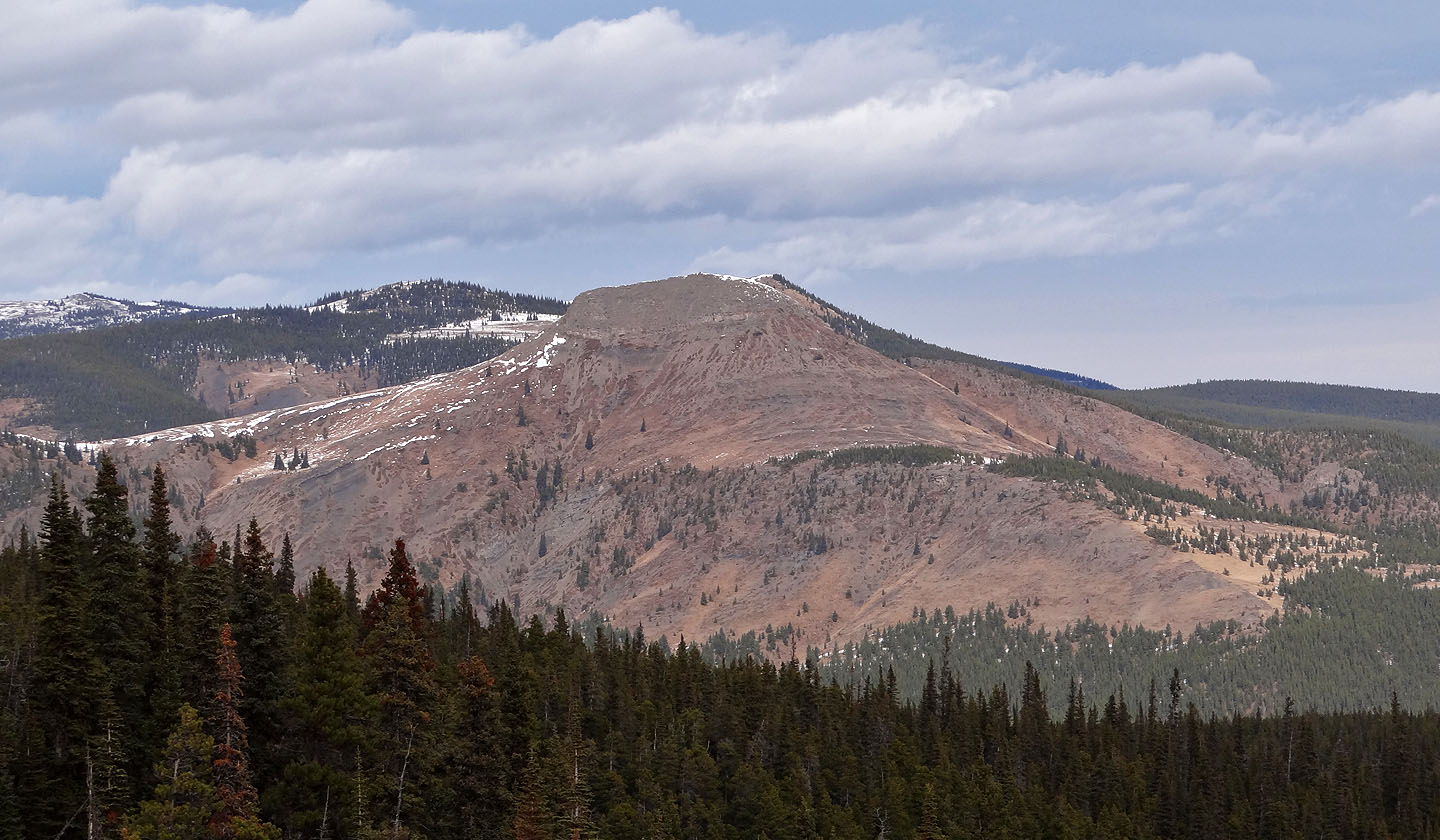
Forgetmenot Mountain stretches across the skyline

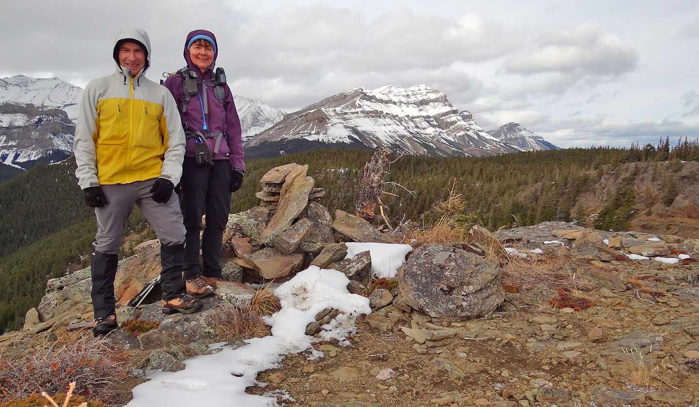
On the summit. Bluerock Mountain in the background
82 J/10 Mount Rae