bobspirko.ca | Home | Canada Trips | US Trips | Hiking | Snowshoeing | MAP | About
Bluerock Knob (Extended)
Kananaskis, Alberta
October 24, 2021
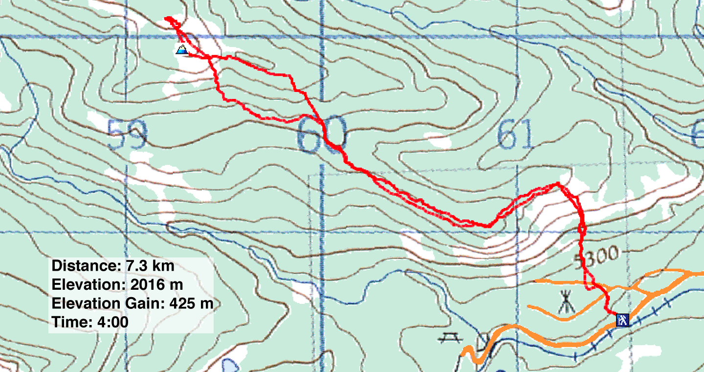
Distance: 7.3 km (4.5 mi)
Cumulative Elevation Gain: 515 m (1690 ft)
Bluerock Knob is a gratifying goal, but when Dinah and I returned to climb it again, we found more to see and explore. Along with Zora, Jonathan and Bernadette, we climbed a second high point and traversed the east ridge – both are engaging extensions to the Knob.
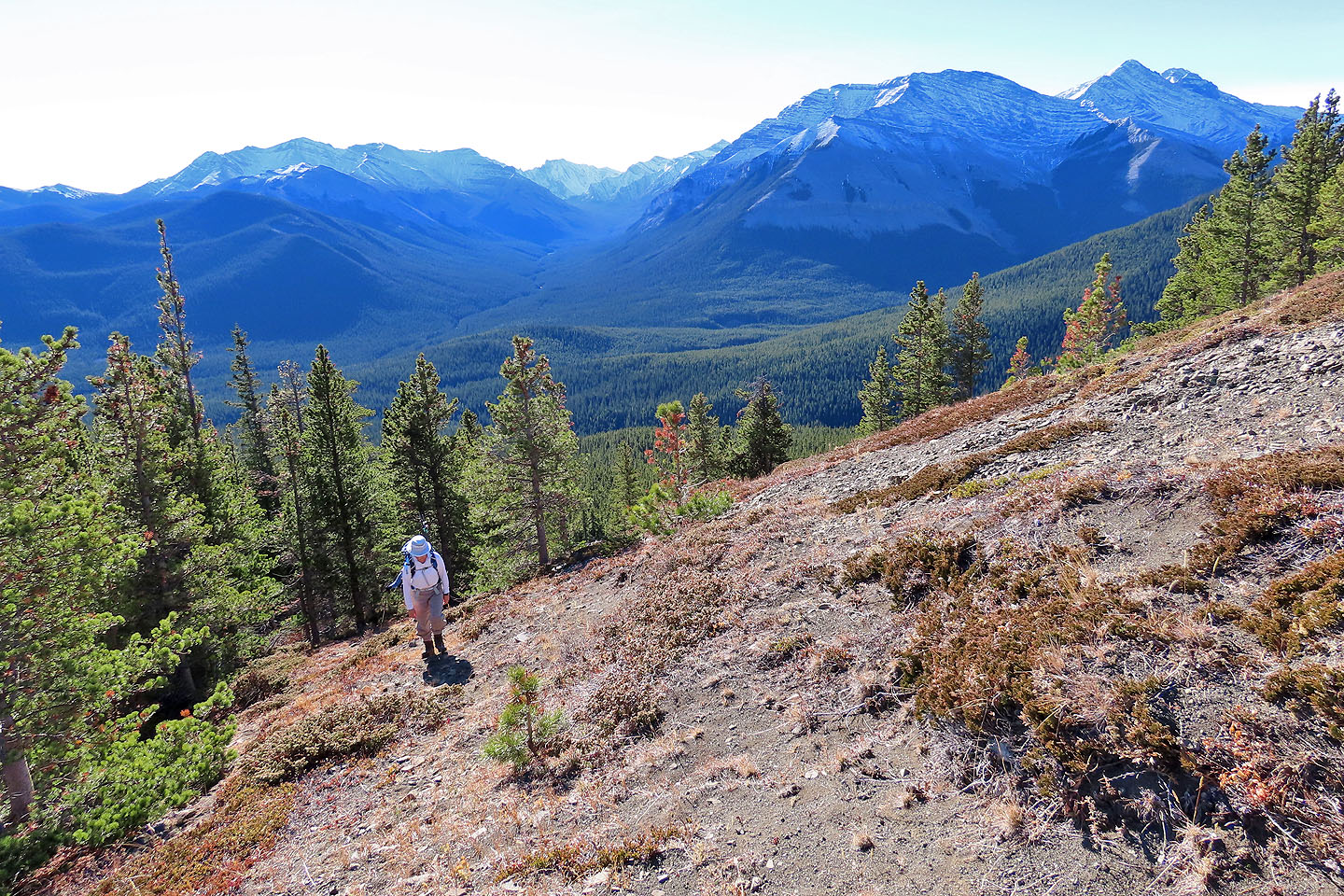
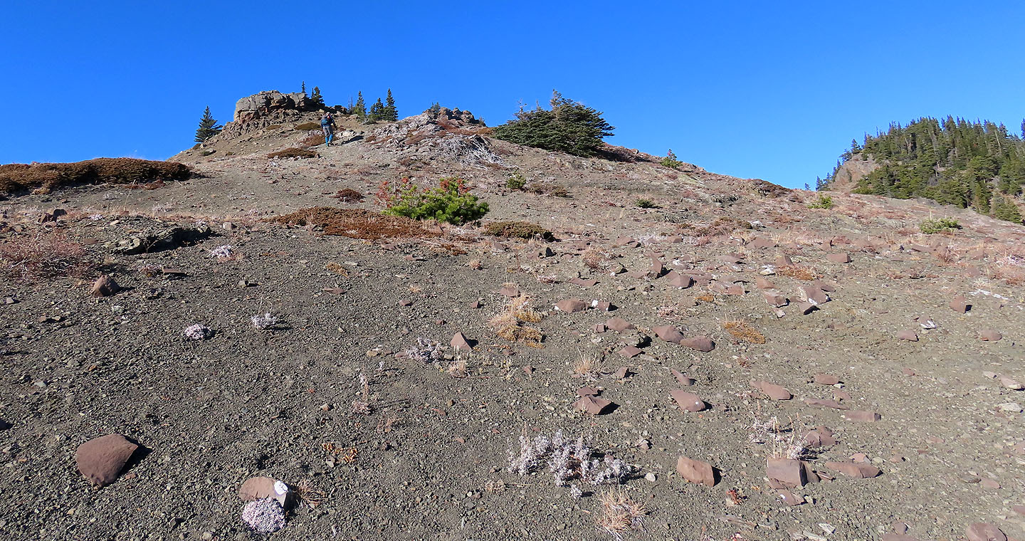
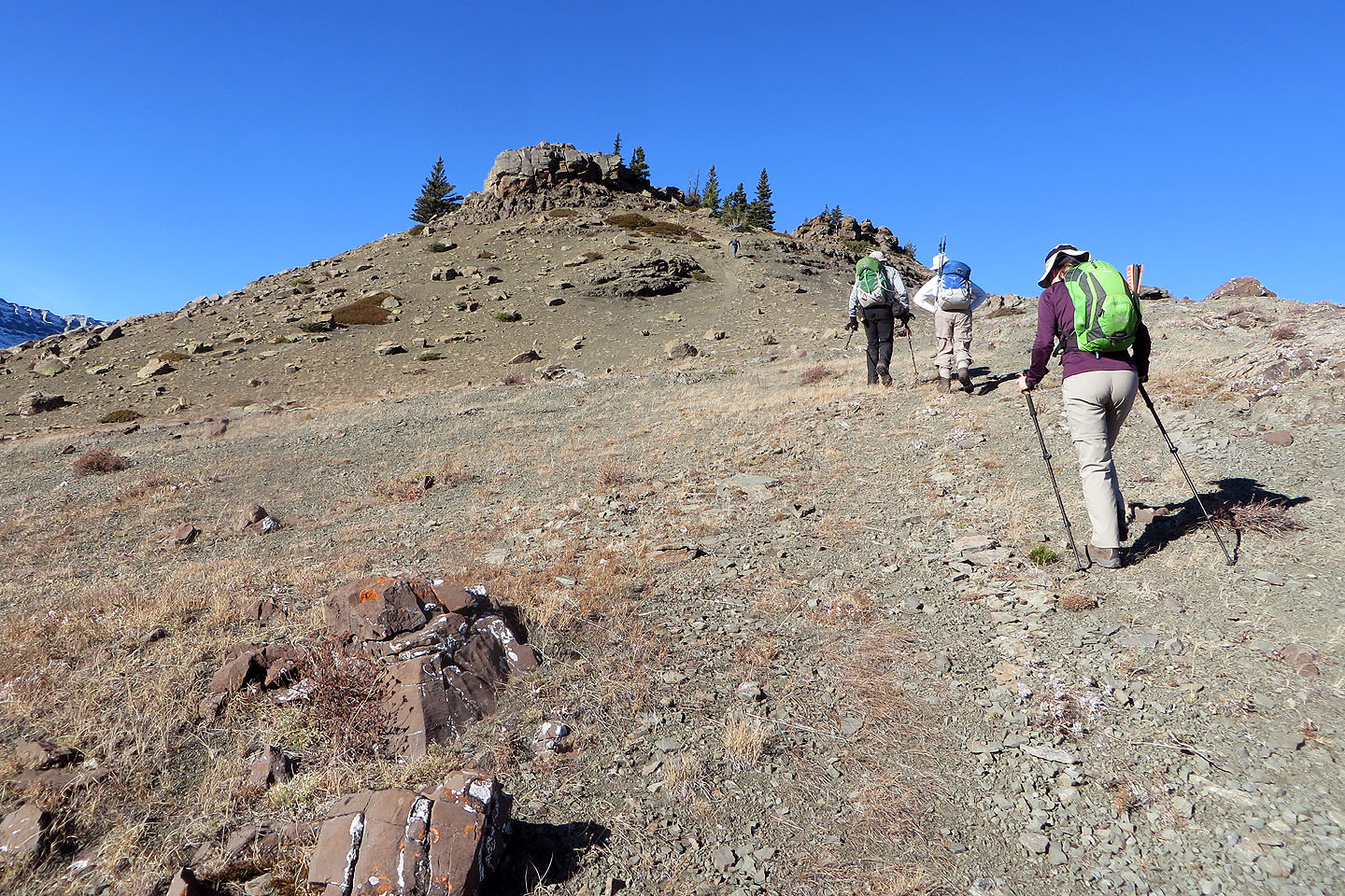
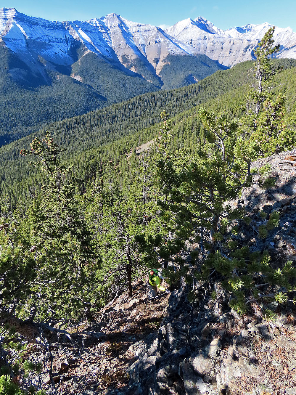
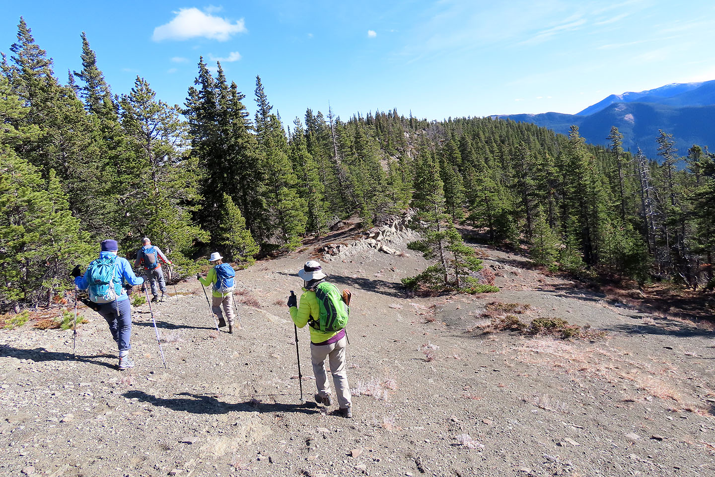
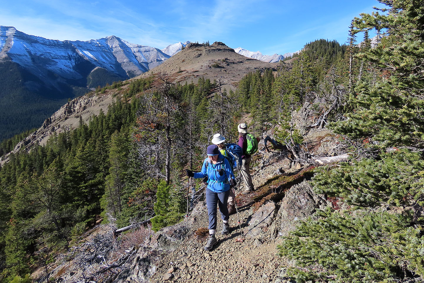
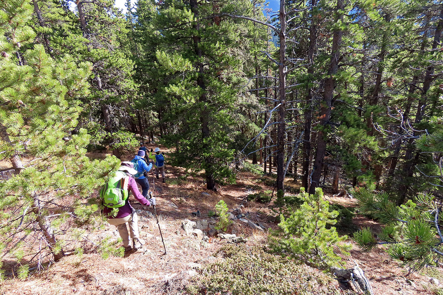
Like before, we found the trail at the back of Bluerock Campground and followed it to the base of an open slope. At the top of the slope, we hit the ridge trail. The path wasn't always distinct, but flagging helped keep us on track. The trail follows the southeast ridge until it runs into the slope below the east ridge. The trail clings to the slope before climbing up the ridge and disappearing at the top of a gully east of the Knob. The final, brief ascent to the summit crosses a landscape strangely devoid of vegetation.
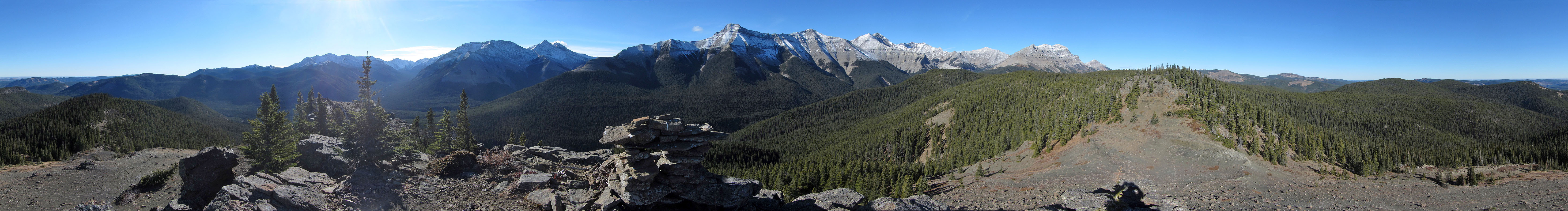
Upon reaching the summit of Bluerock Knob, we surveyed the snow-covered peaks around us before turning our attention to another high point. We crossed the open ridge that bridges the two points and scrambled up cliffs to the top. The second point is a few metres higher and half bare, but it commands a nice view of Bluerock Knob as well as Mount Burns. After relaxing, we came down the treed backside. Unlike our climb up the cliffs, this was only a hike.
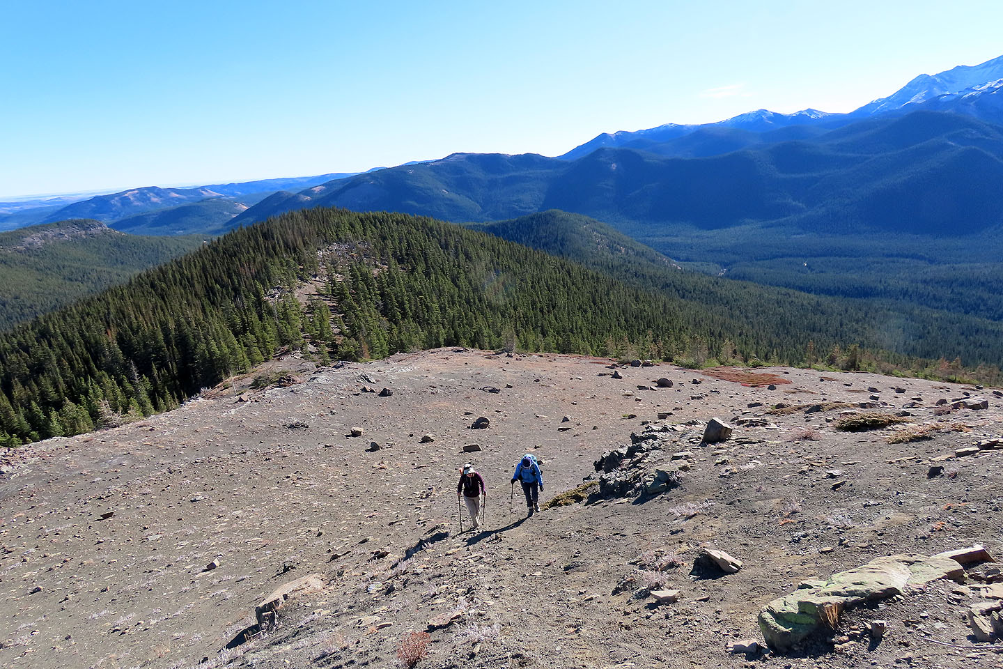
Instead of returning to the trail, we passed the gully and continued along the east ridge. With generous space between trees and scant underbrush, this turned out to be surprisingly pleasant. But since the east ridge diverges from the trail, we couldn't stay on it; we dropped down the slope to return to the path and followed it back. Whether or not the extensions are added, Bluerock Knob is a fine, short hike, and we weren't surprised to see others on the trail.
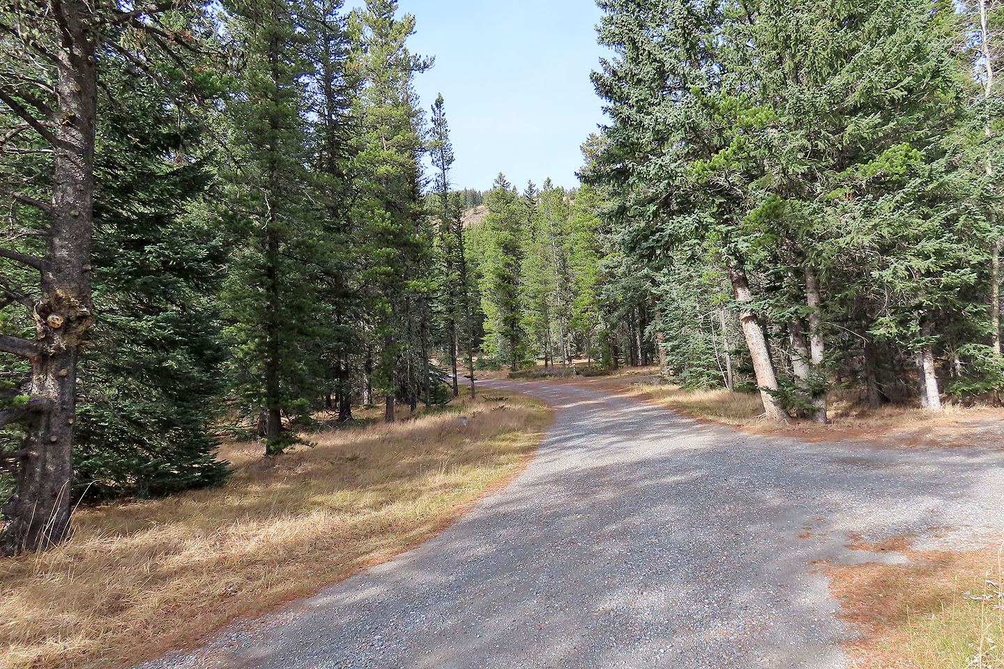
The trail begins at the end of the campground and leads to the open slope ahead
Hiking up the open slope
Hiking along the ridge above the slope
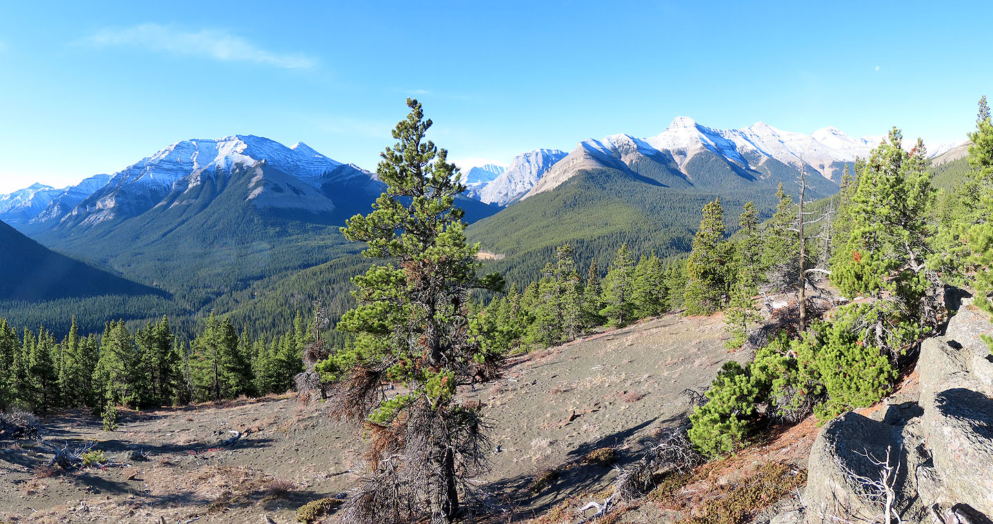
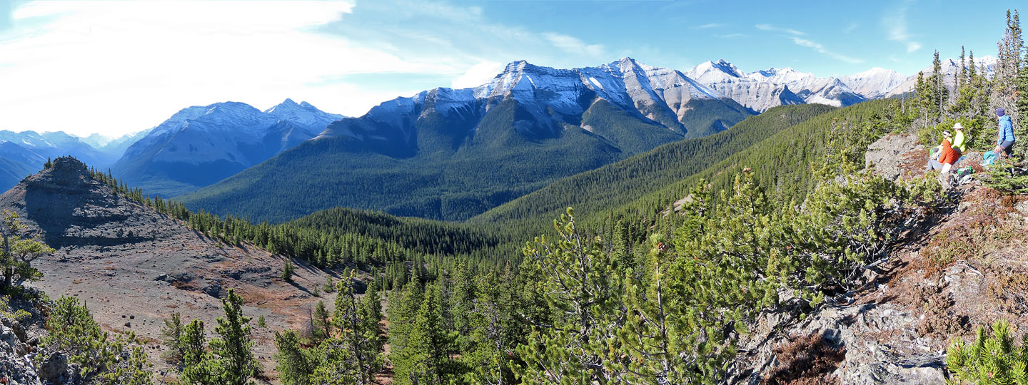
The viewpoint
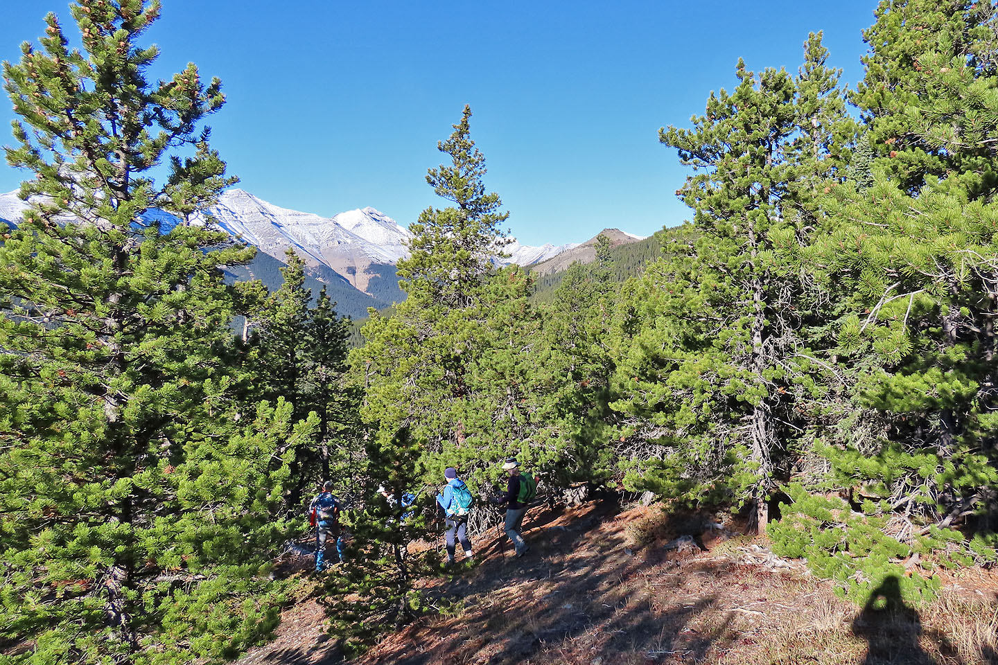
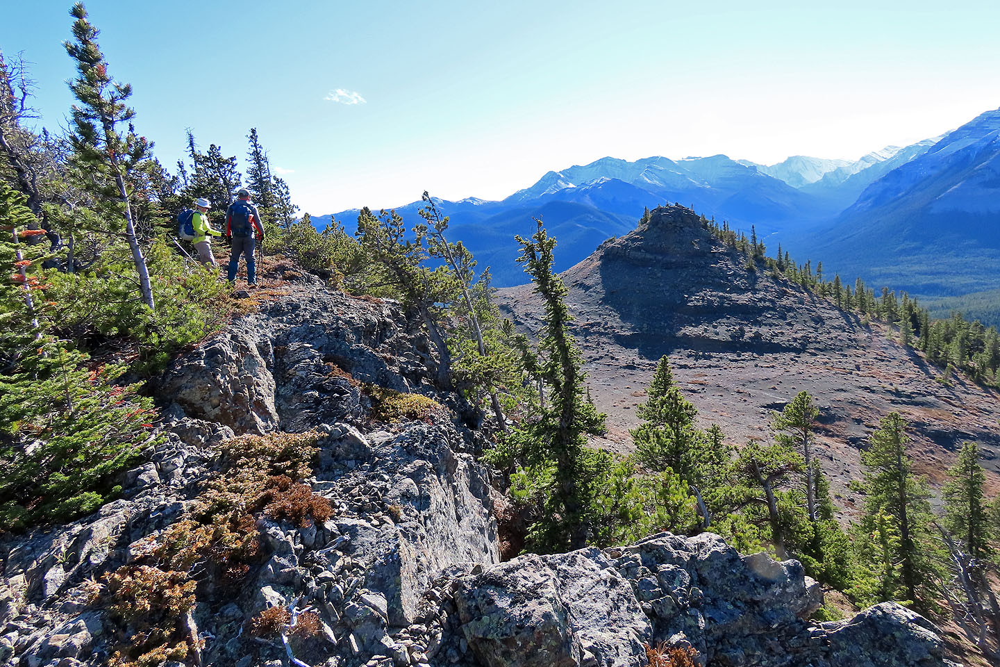
Continuing along the southeast ridge with Bluerock Knob ahead
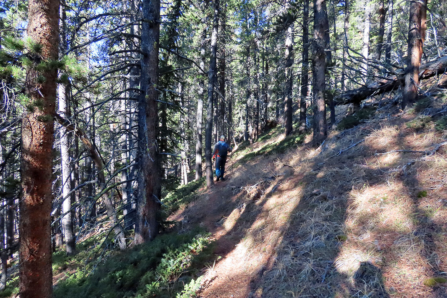
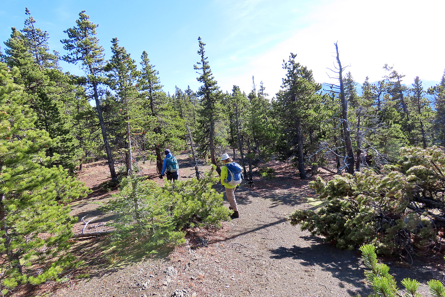
The trail was fairly easy to follow
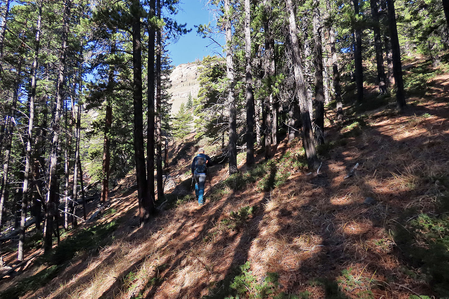
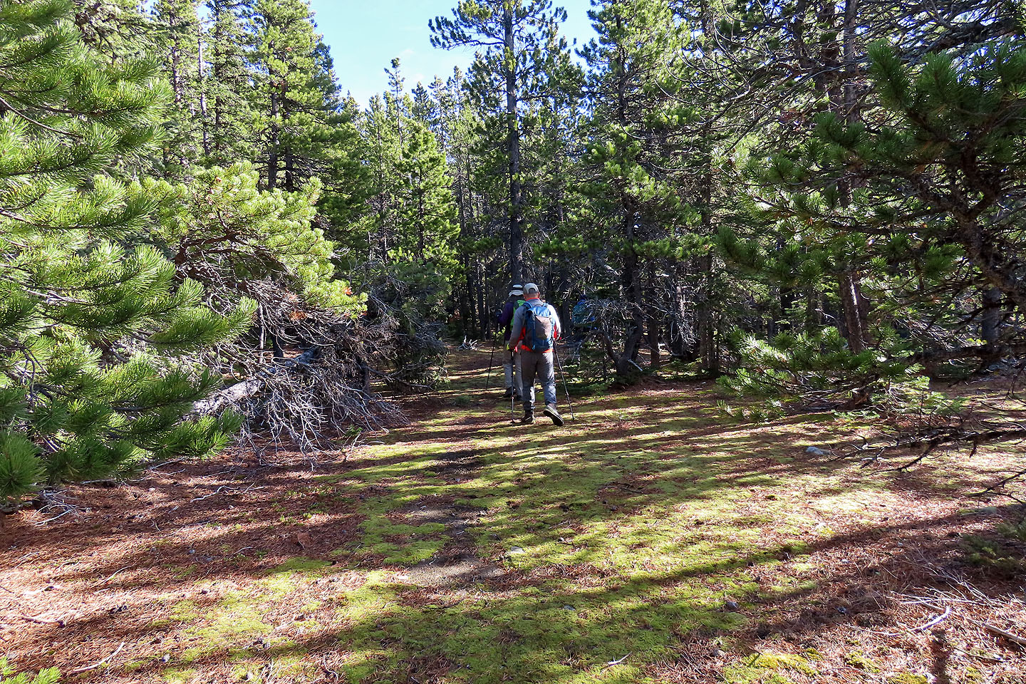
The trail ascends alongside a gully
Coming out of the trees. Junction Mountain on the left.
Heading to the summit
Of the two summit blocks, the right one is higher
Looking back. Later we traversed the ridge behind us.
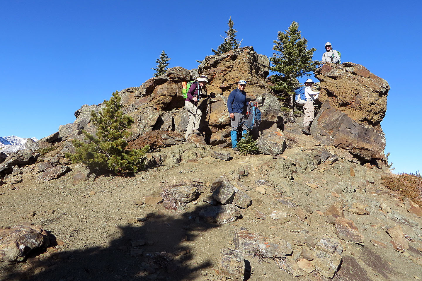
Taking the last steps to the top
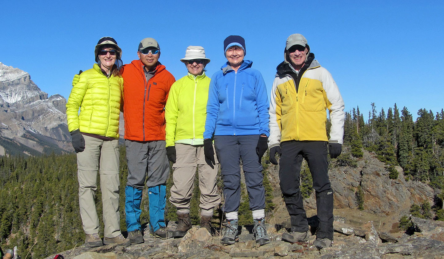
Bernadette, Jonathan, Zora, Dinah and me on the summit
Looking down from the summit as the others made their way to the high point
We scrambled up the cliffs but hiked down the right side
Bernadette climbs up
On the top looking back at the Knob where we noticed hikers on top (mouse over)
Across the valley is Mount Burns (mouse over)
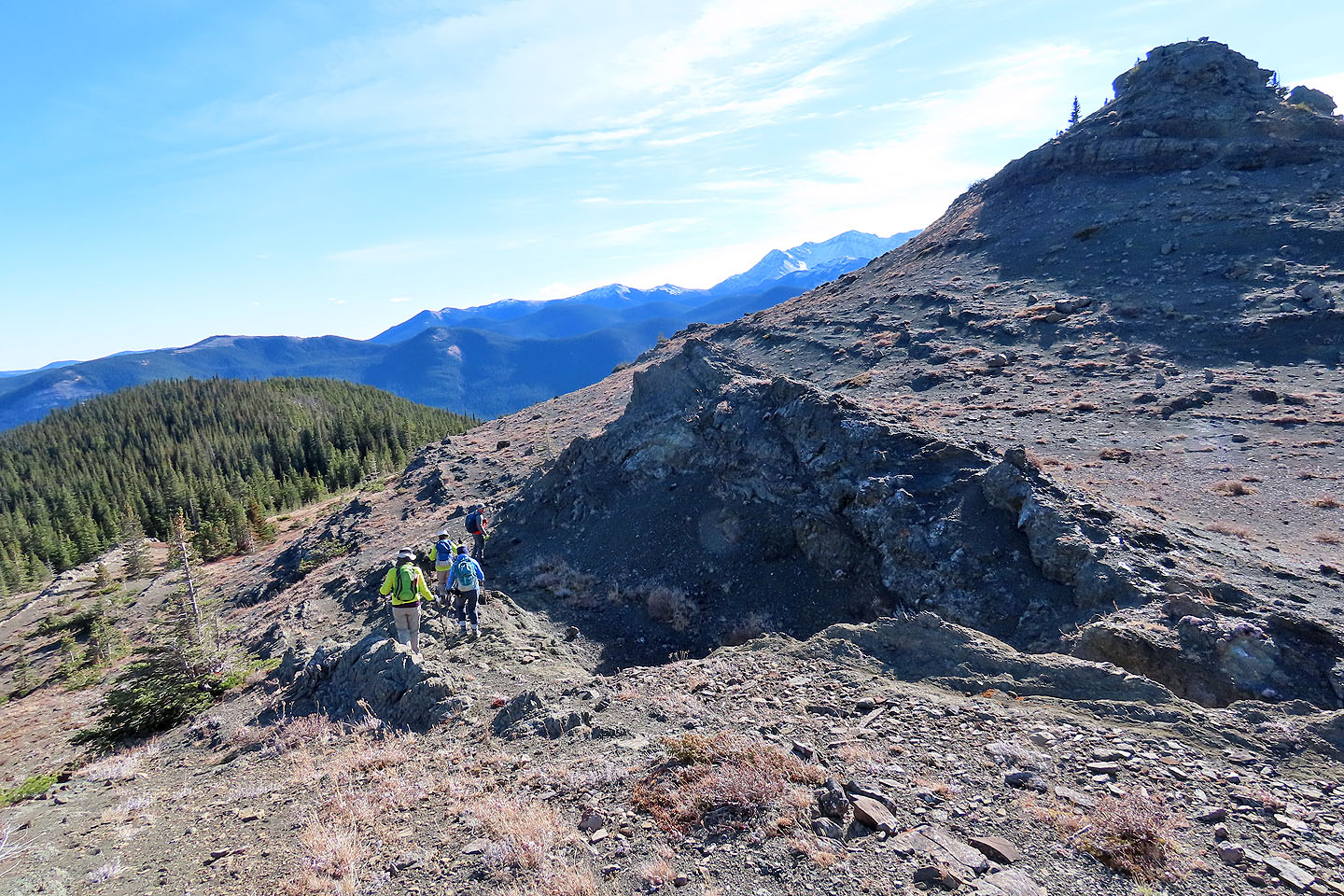
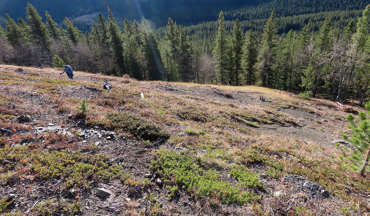
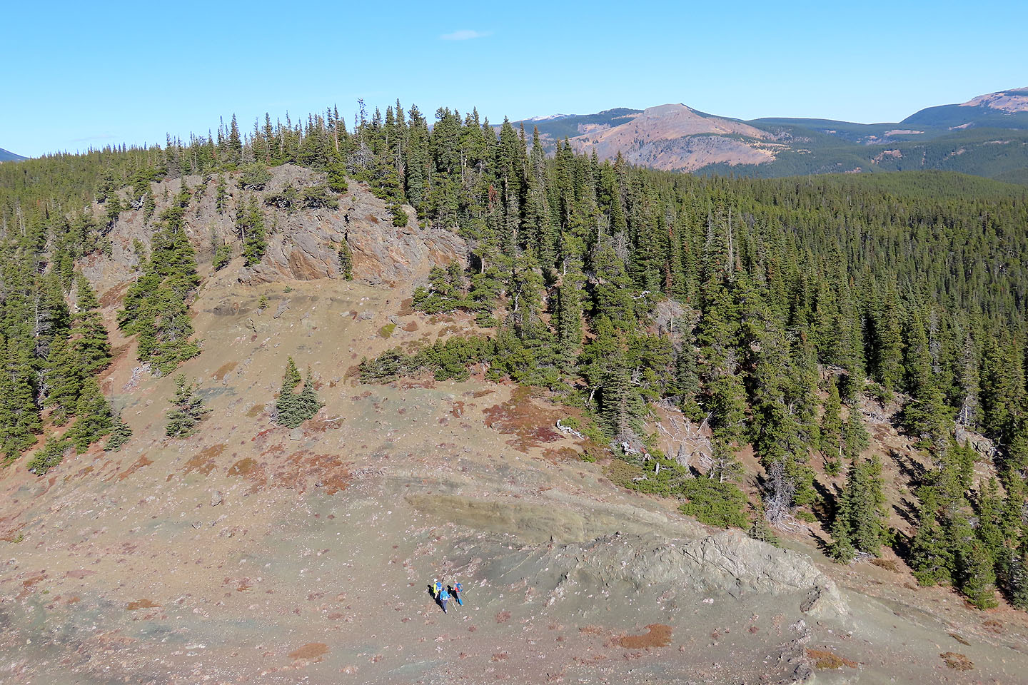
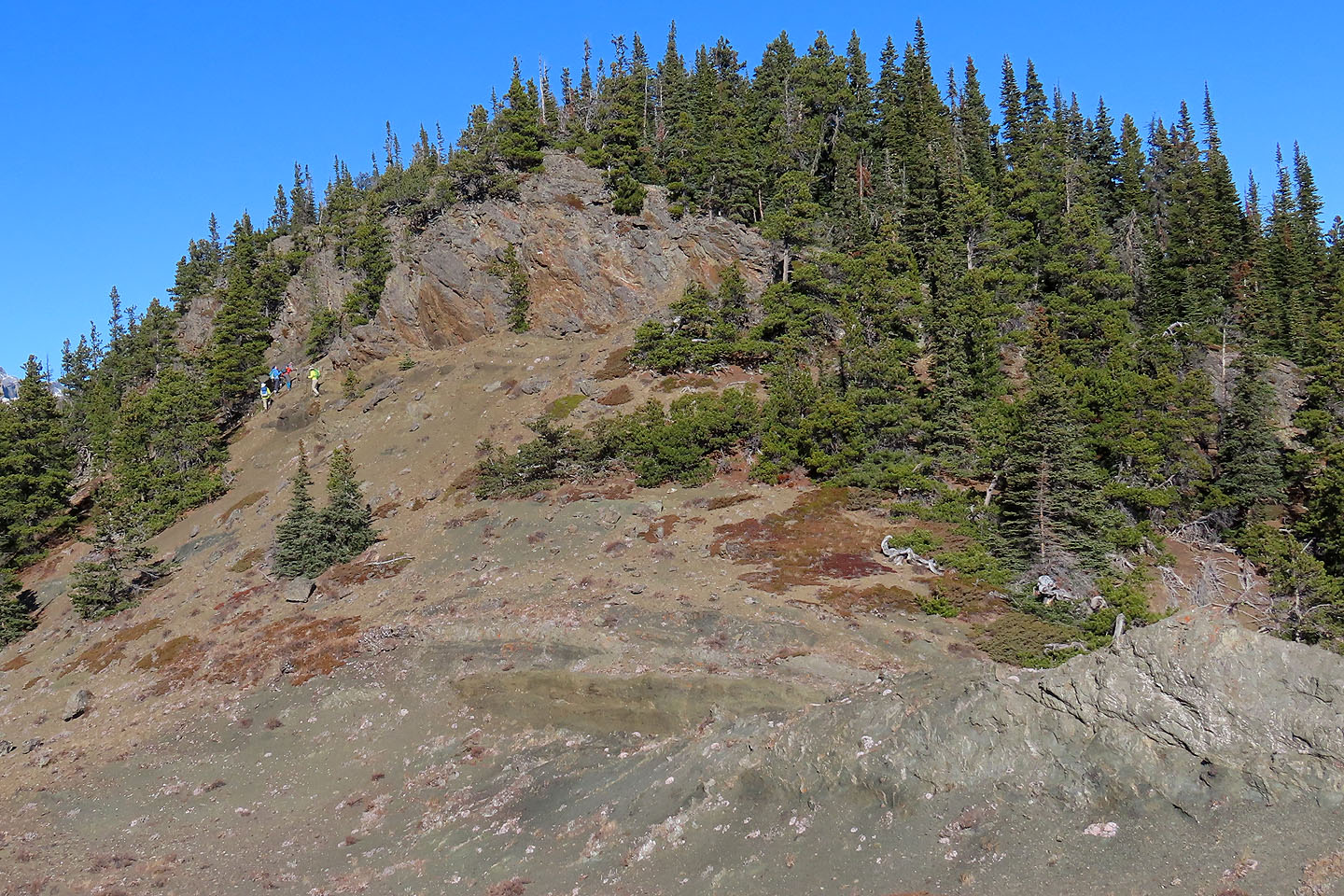
After descending, we headed to the treed ridge ahead
A broken cliff band on the ridge provides some views
Looking back at the Knob
Continuing down the ridge
Generous spaces between trees made it a pleasant ridgewalk
We easily navigated down the slope to the trail
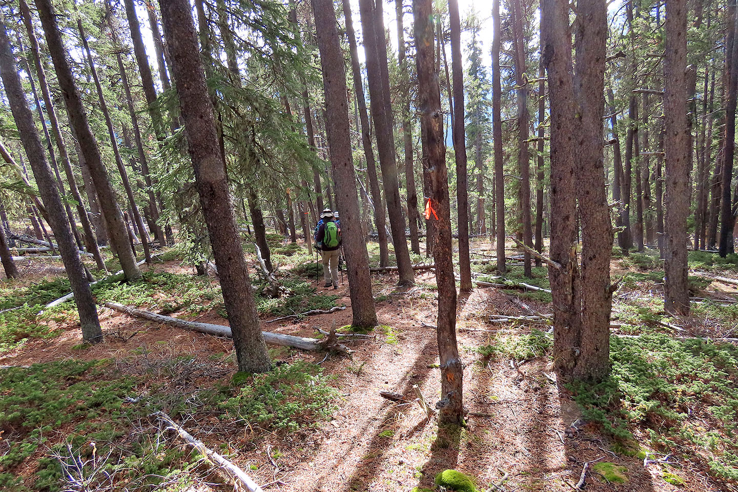
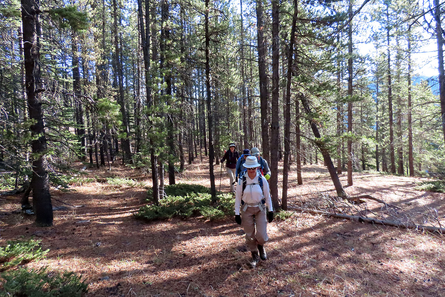
Following the flagged trail back
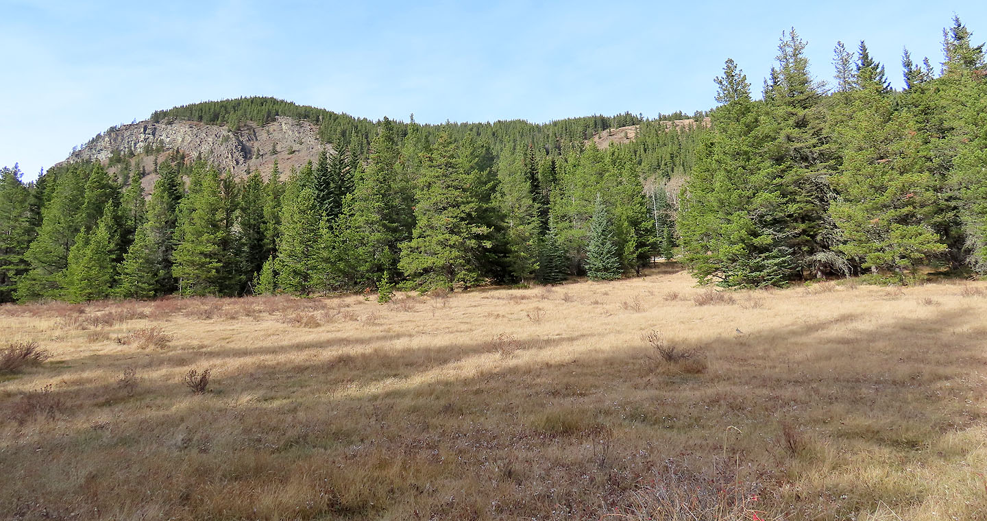
Looking back at the viewpoint from the campground
 82 J/10 Mount Rae