bobspirko.ca | Home | Canada Trips | US Trips | Hiking | Snowshoeing | MAP | About

Green Mountain Loop
Kananaskis, Alberta
November 7, 2015
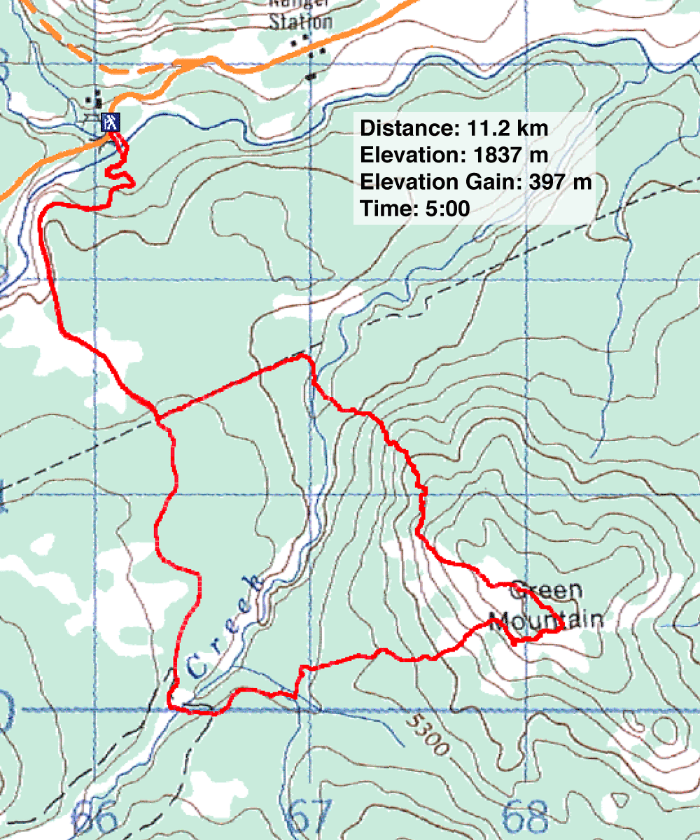
Distance: 11.2 km (7.0 mi)
Cumulative Elevation Gain: 537 m (1762 ft)
When I first hiked up Green Mountain years ago, I started from Indian Oils and crossed the Sheep River bridge. But in 2013, the flood took away the bridge and any chance of keeping my feet dry. Until the bridge was repaired, the only practical option to reach Green Mountain was to ford the Sheep River farther downstream and hike up Teskey Road. The road runs to Green Mountain trail which accesses the west slope of the mountain.
Having hiked up the west slope using the route described in the Kananaskis Country Trail Guide, I knew what to expect. So for the sake of novelty, I tinkered with the Teskey approach: I would ascend the north end of the mountain. This would both shorten the distance to the mountain and lengthen the ridgewalk.
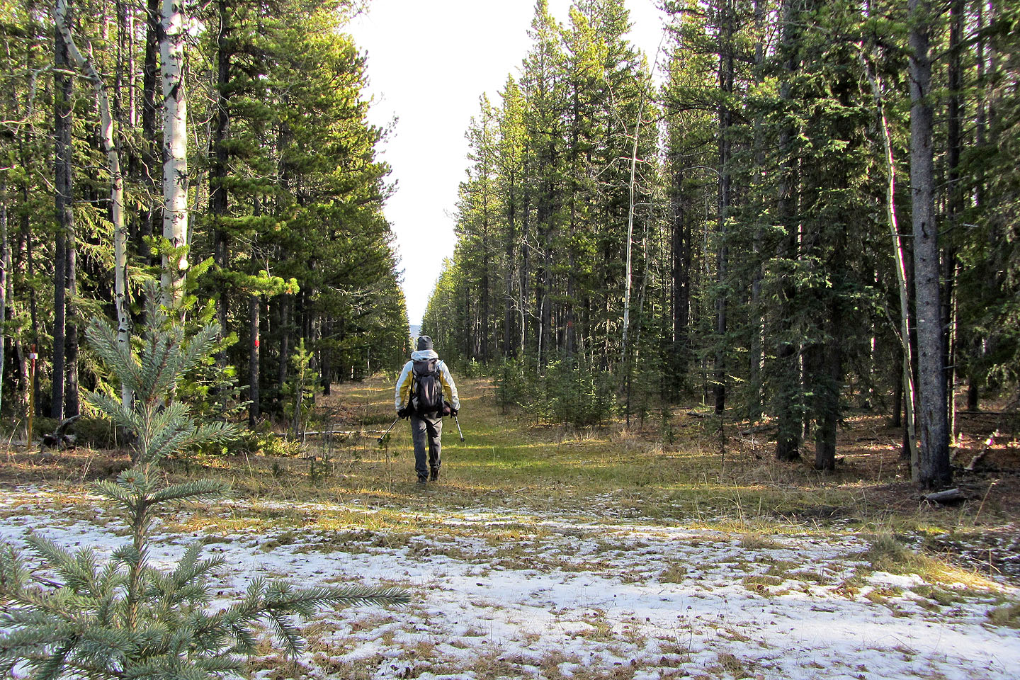
After parking on a side road, I dropped down to the Sheep River. Because of a high bank on the opposite side, I walked upstream a bit before fording the river in hip waders. Once on the south bank, I searched for and found Teskey Road. I followed it to the Sheep trail junction. Turning left, I hiked 700 m before exiting right to cross Dyson Creek. This brought me to the foot of the mountain.
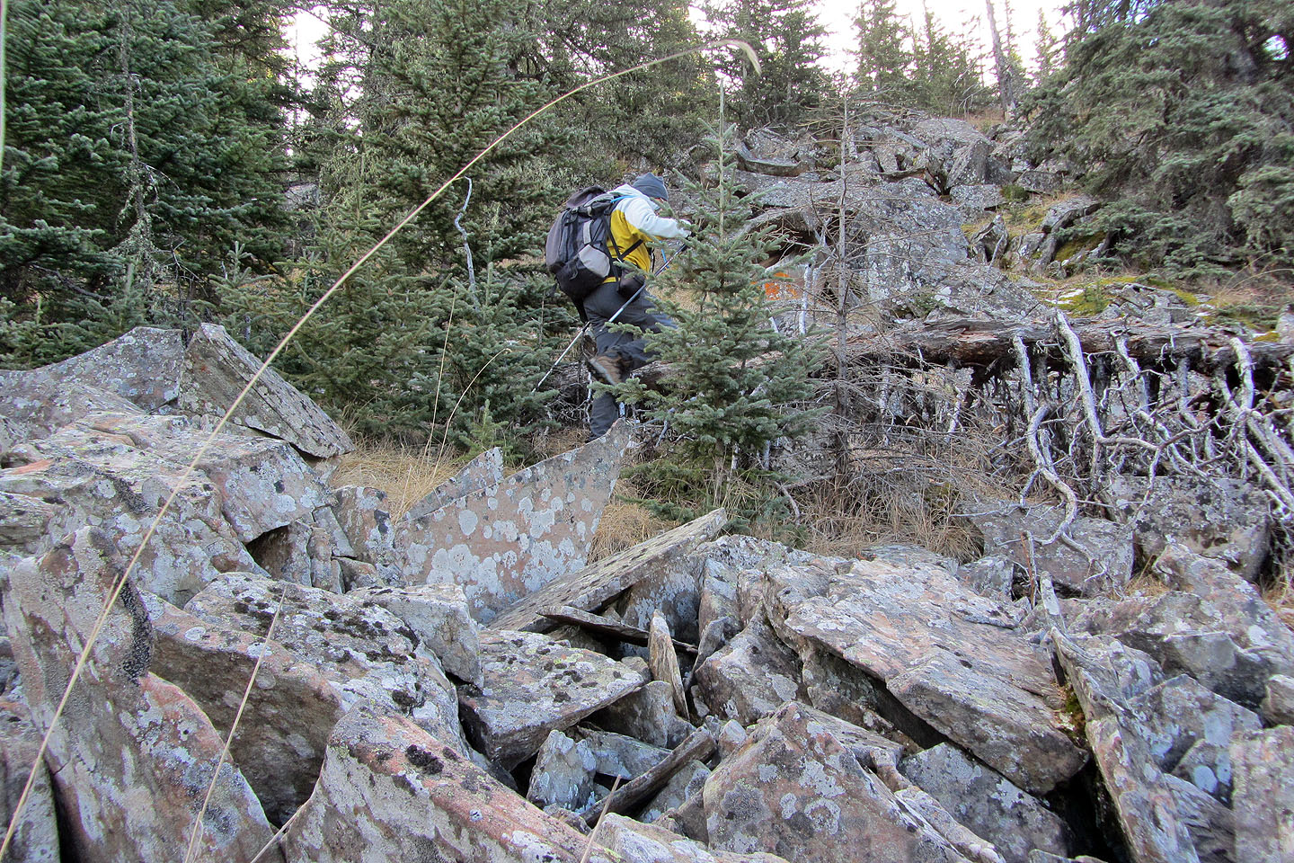
I was soon climbing rock piles among the trees. It was an interesting ascent, certainly more fun than bushwhacking. After climbing 200 m above the creek, I angled right. The terrain here was crappy, being full of loose rock and deadfall, but I needed to get to the nice, grassy slopes on the west side. I was glad when my boots left the rocks and hit the meadow.
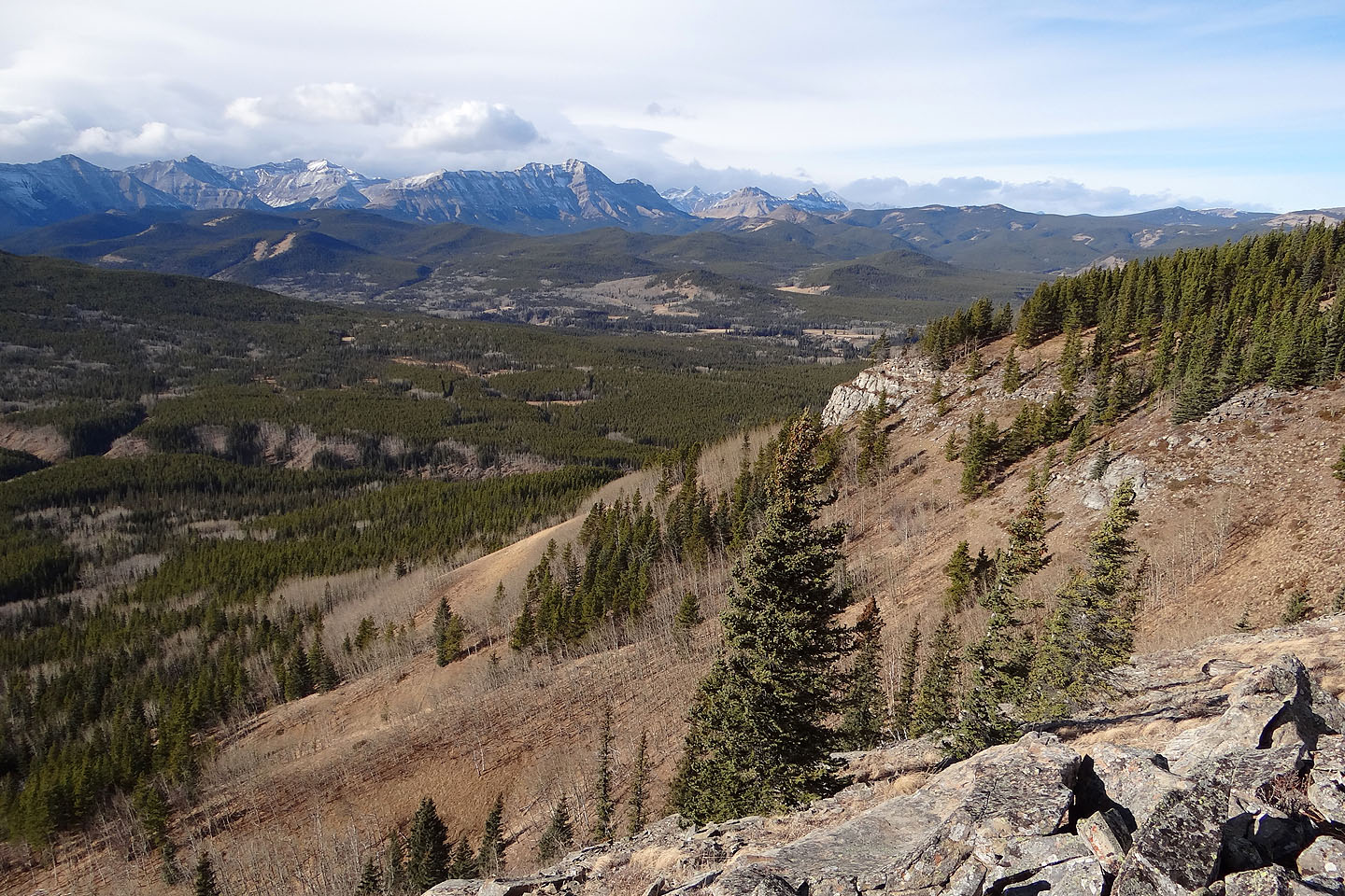
I hiked along the open slopes towards the top of Green Mountain. Since the ridge crest is forested, I stopped 250 m short of the summit and took a panorama before ducking into the trees. After tagging the uninspiring forested top, I dropped down the west side of the mountain and climbed a large outcrop called “the Castle.” After looking around, I pondered which way to go.
Instead of taking Gillean's route and coming down the south end of the Castle, I was drawn to the open slopes north. I was surprised, however, when I came across a good animal trail just 350 m from the Castle. I was curious so I followed it down. To my amazement, it ended near Green Mountain trail. This is probably the easiest way to reach the Castle. I caught the trail partway so I don't know if it goes all the way to the Castle, but it must come awfully close. Try it if you're coming up:
On Green Mountain trail, look for a side road on your left at 668103. It appears soon after crossing a creek. The side road is 100 m long and ends at a campsite. The animal trail begins 50 m northeast from here and almost immediately enters a small clearing (not to be confused with another clearing left of the campsite). The trail, faint at first, gains clarity as it climbs. (Gillean's offtrail route up the slope begins nearly a kilometre farther up Green Mountain trail.)
Sheep River seen from the highway where I started down
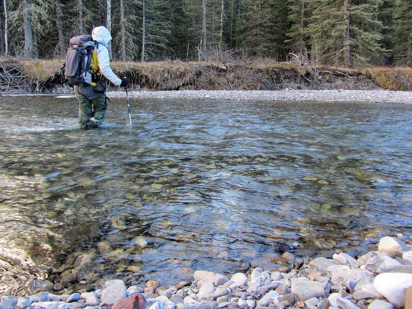
Sheep River was calf-deep in the morning but knee-deep in the afternoon
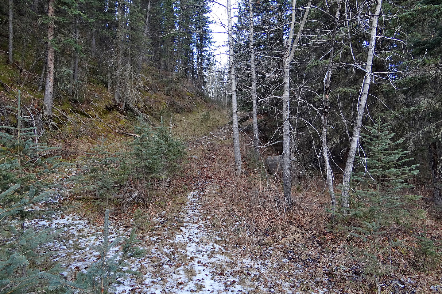
Teskey Road
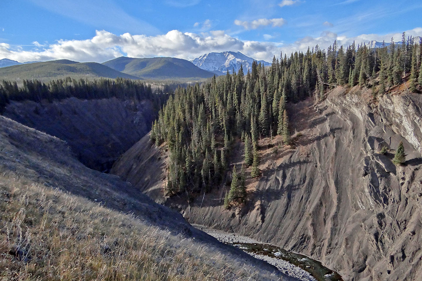
Sheep River cuts through a gorge far below the road
After the road climbs, it levels off
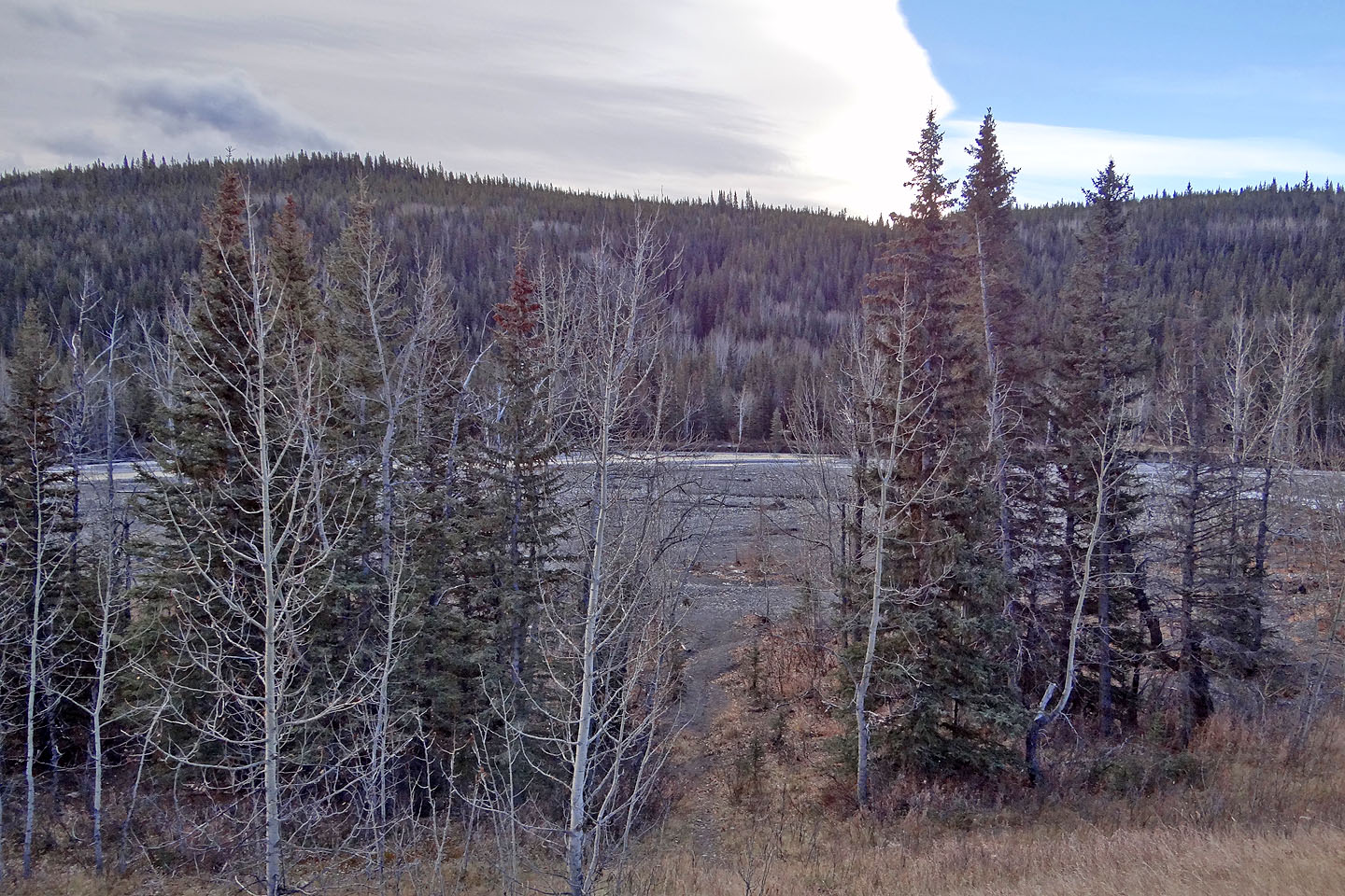
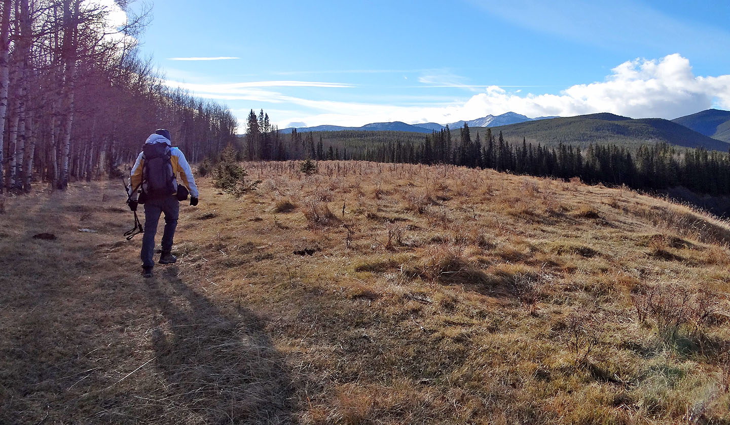
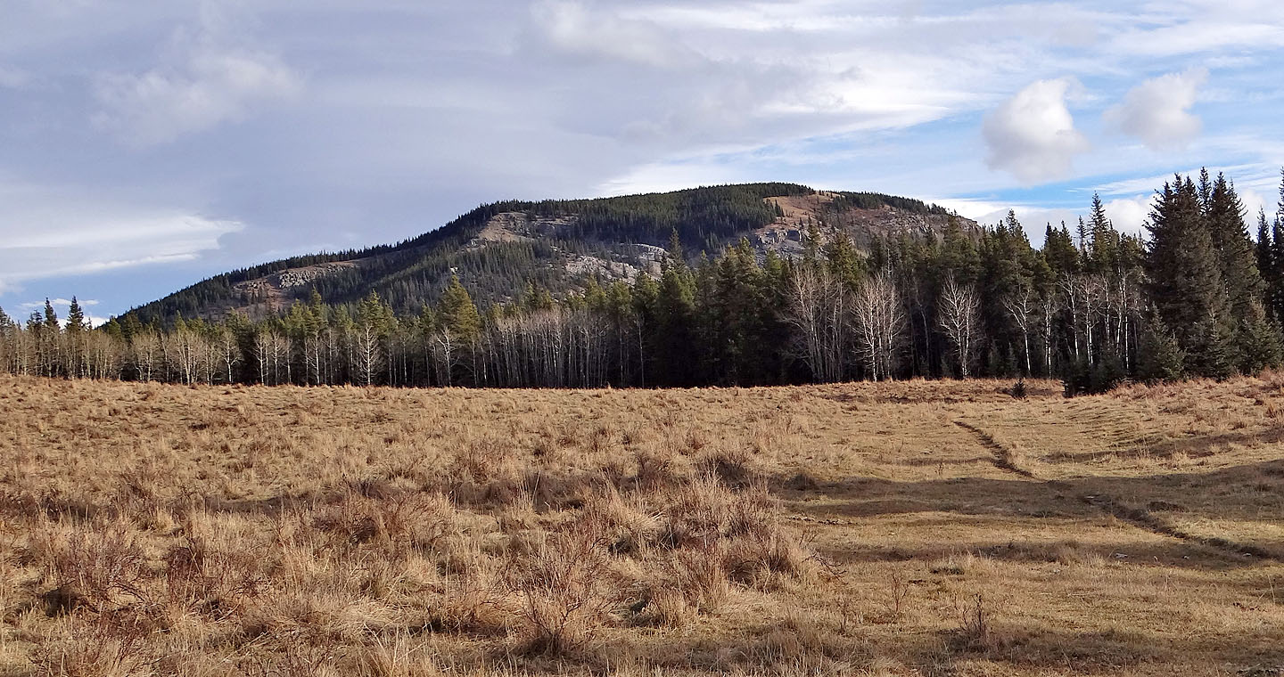
Green Mountain fills the view ahead
From Teskey Road I turned onto Sheep trail
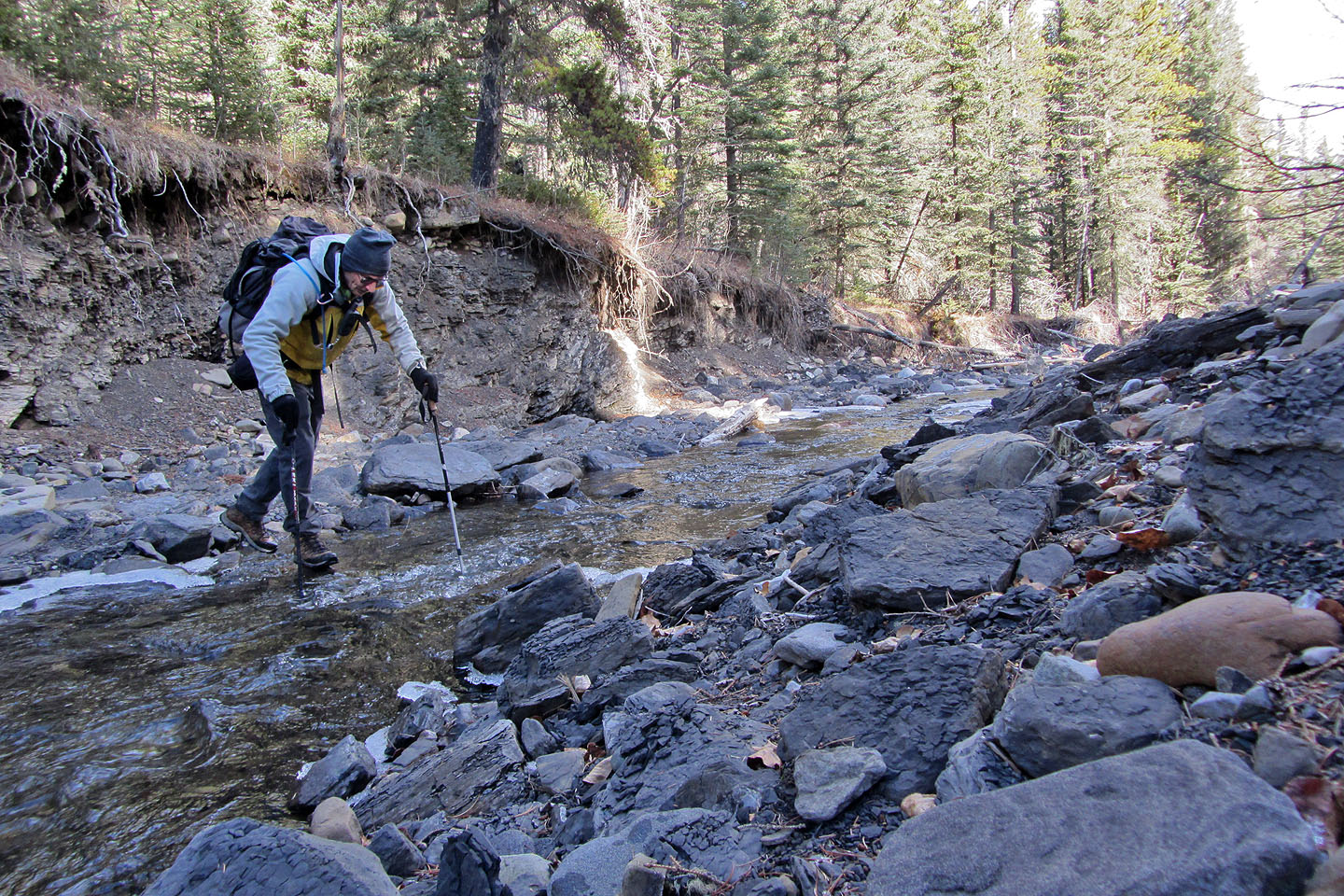
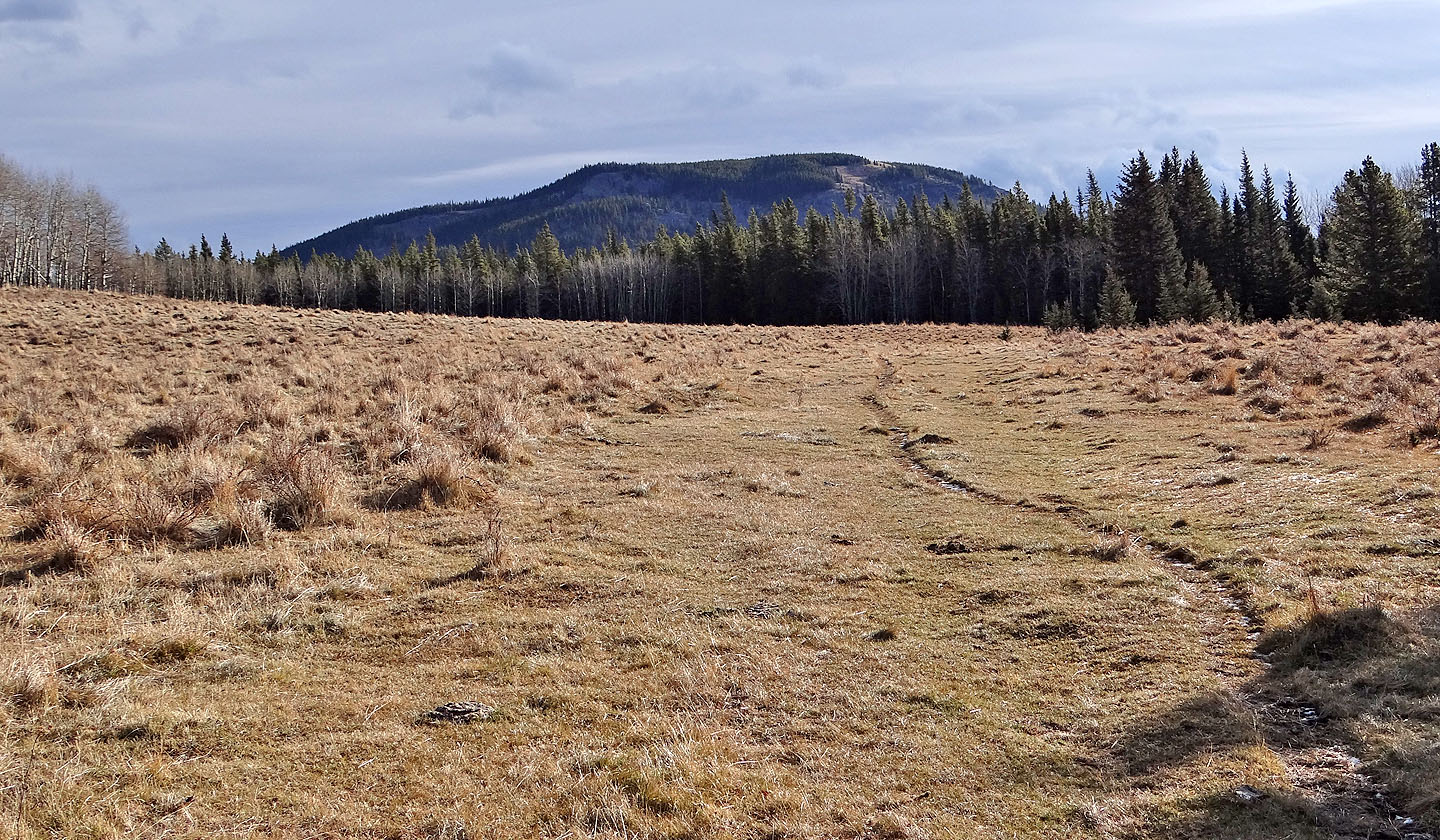
After hiking 700 m on Sheep trail, I exited the trail and crossed Dyson Creek
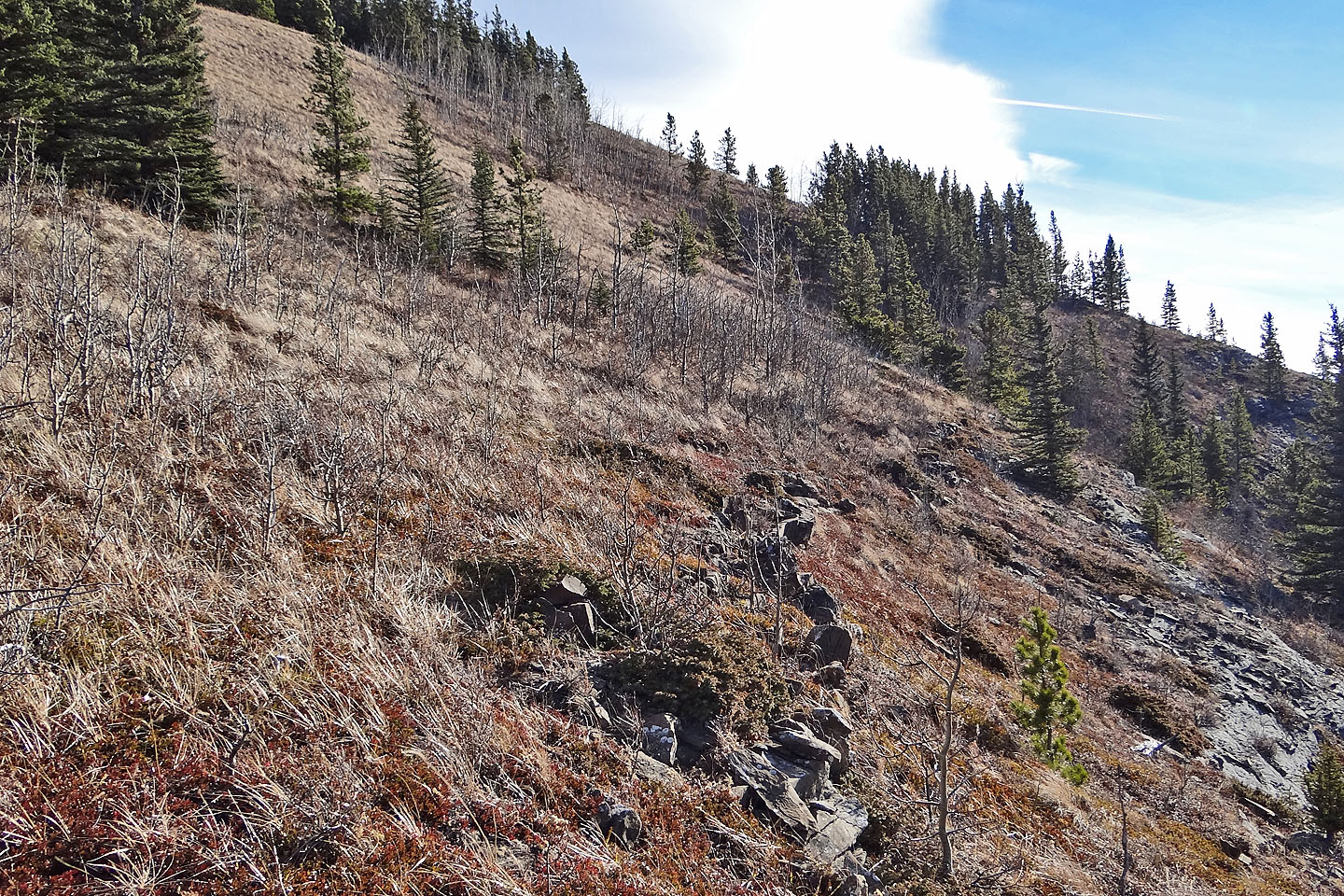
After the creek, I climbed the slope ahead to the rocks on the right
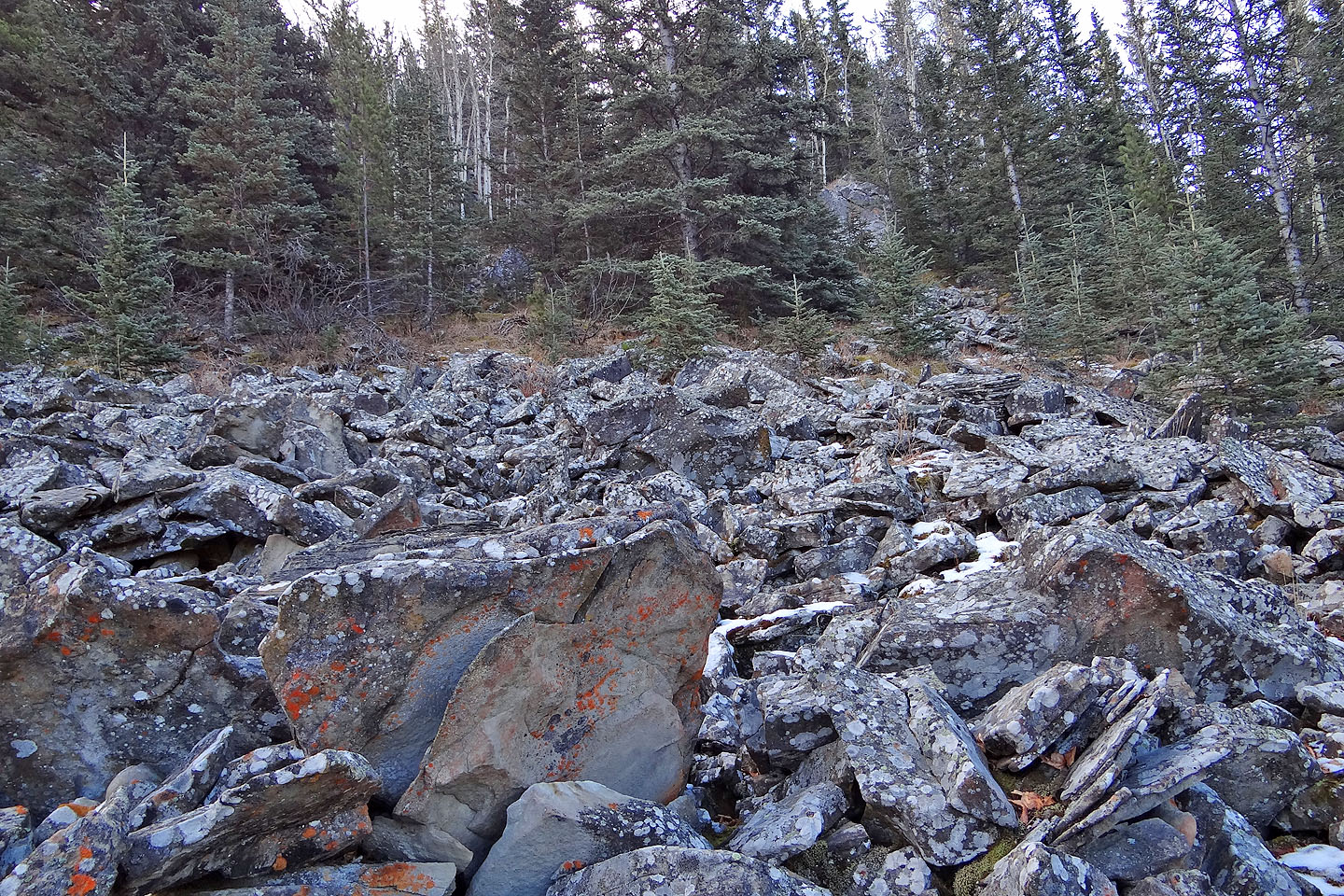
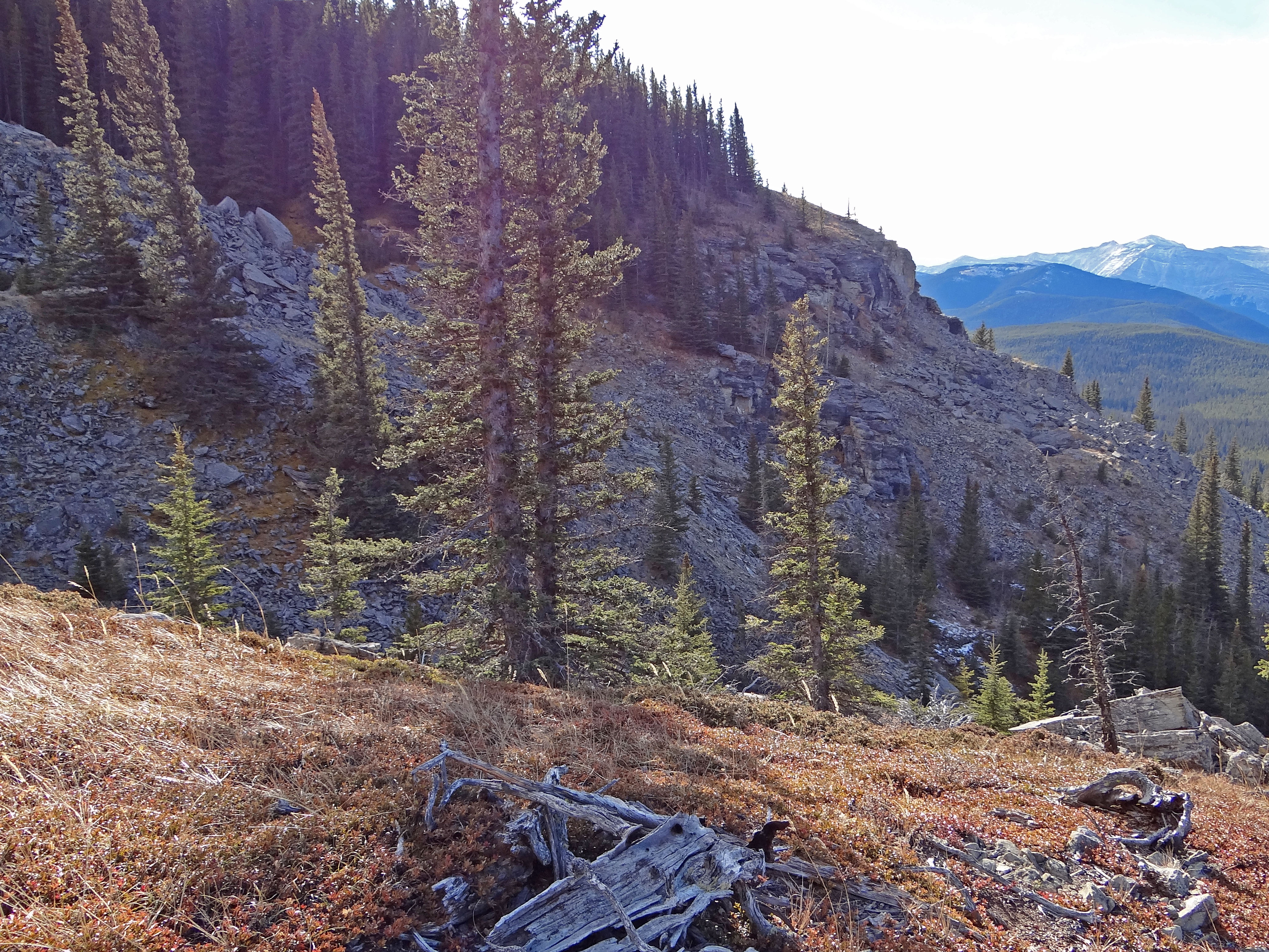
Much of the slope is packed with piles of rocks
Typical climbing up the slope
Looking back at Missinglink Mountain
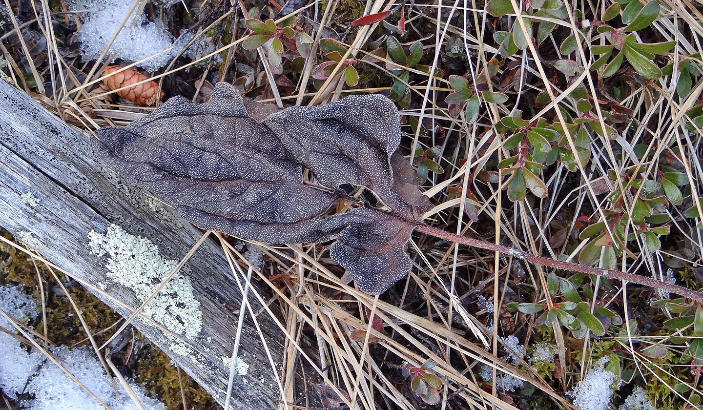
I was fascinated by the pattern in this dry leaf
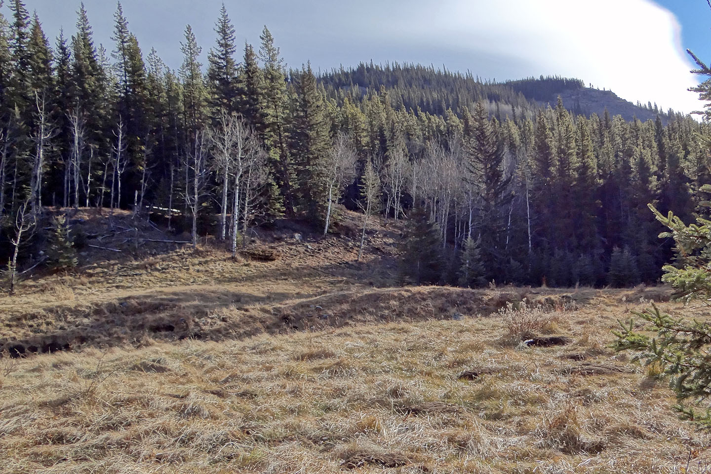
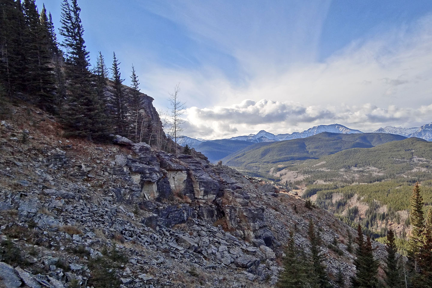
A grassy slope awaits on the other side of the ridge ahead
The tree-covered mountain ahead is Mount Hoffman
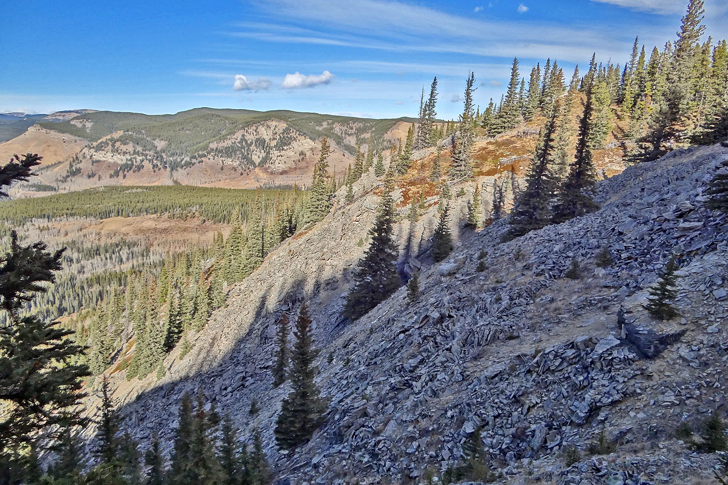
Looking back at the slope of loose rocks I crossed
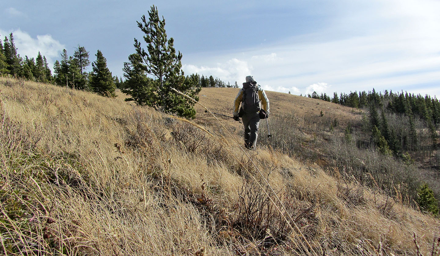
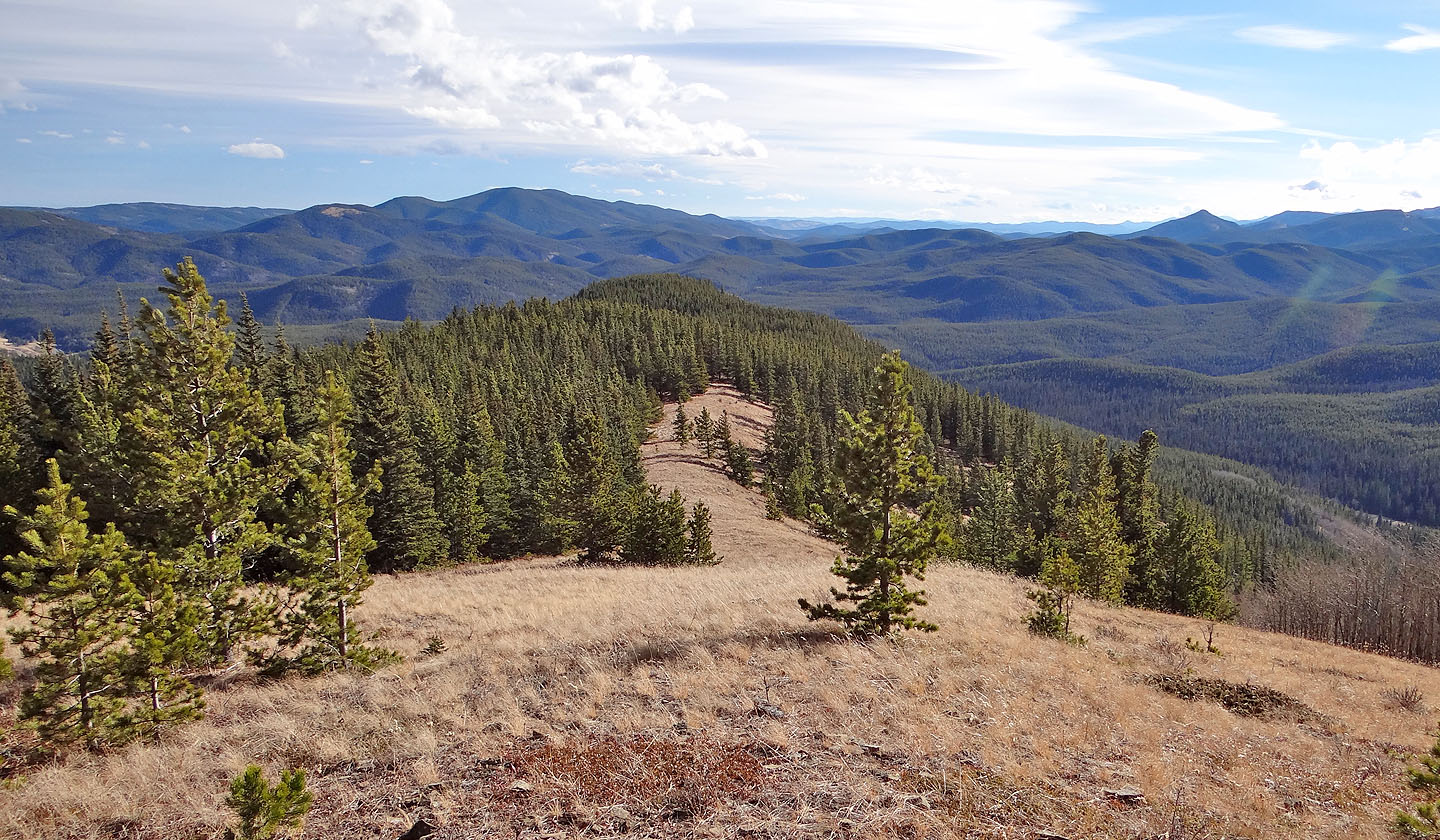
On the open west slopes
of Green Mountain
I enjoyed my stroll along the ridge
Looking back
There was no cairn so I make an X with branches and called it the summit
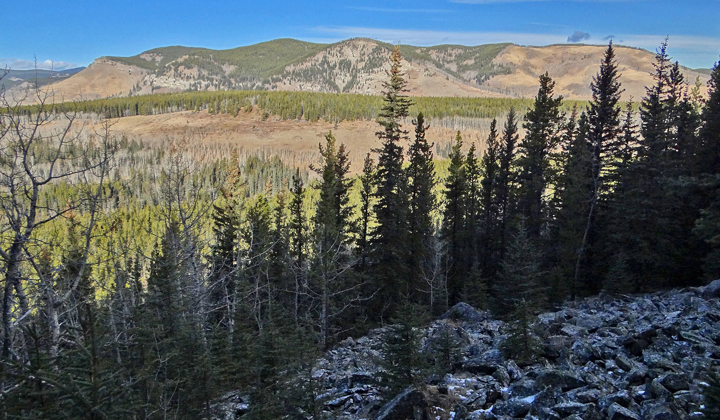
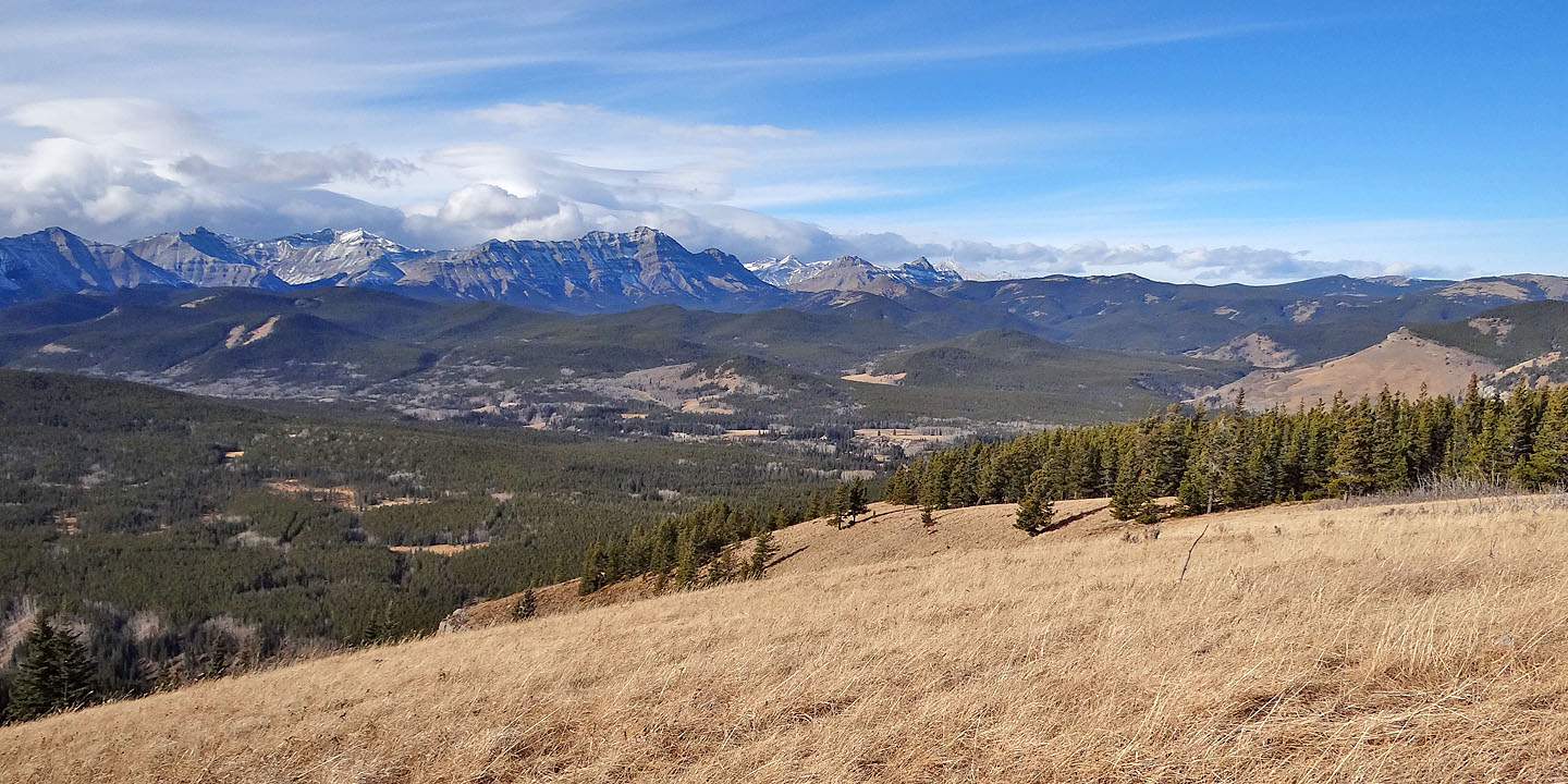
The ridge continues to Spaulding Point. Beyond the point lies Mount Dyson.
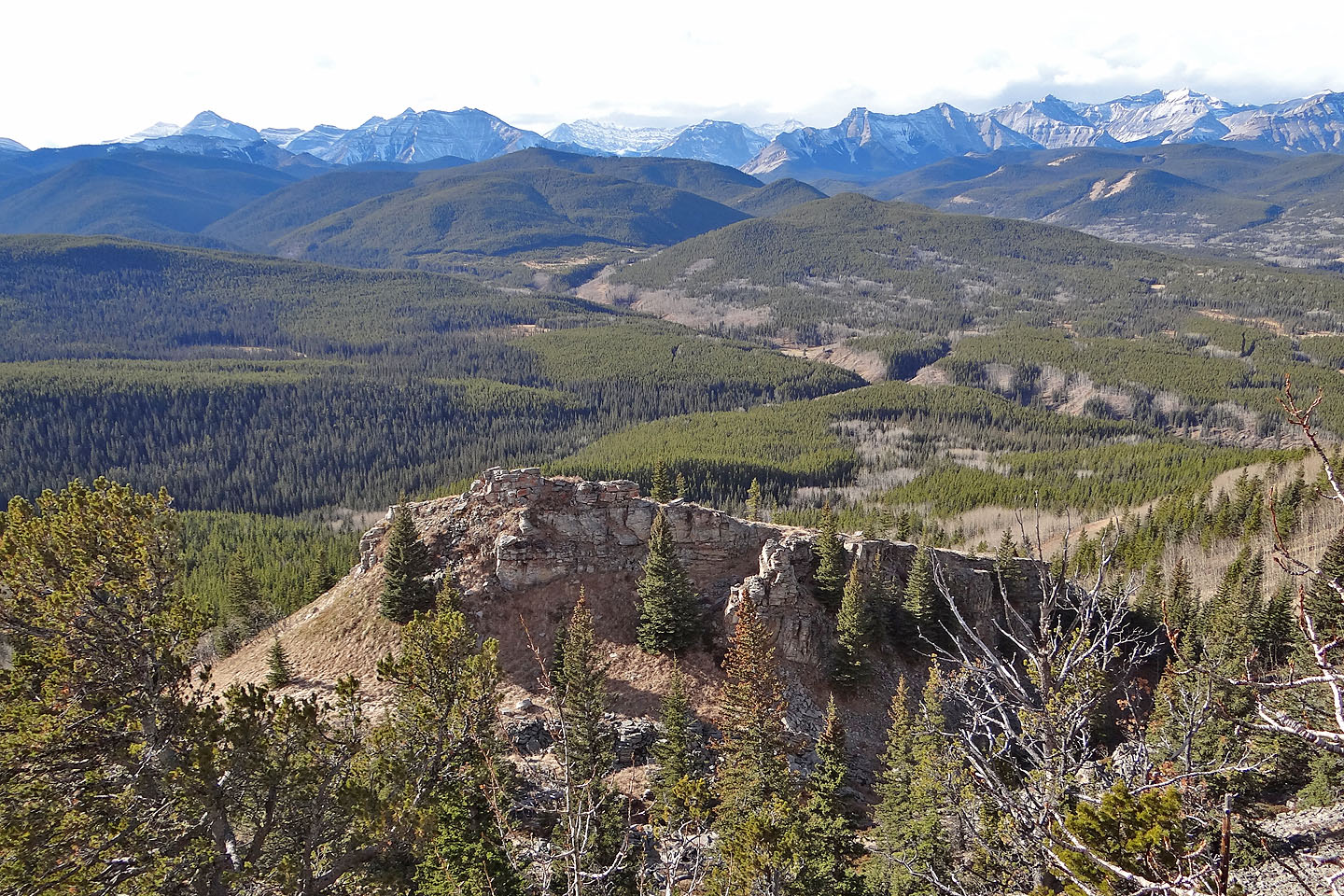
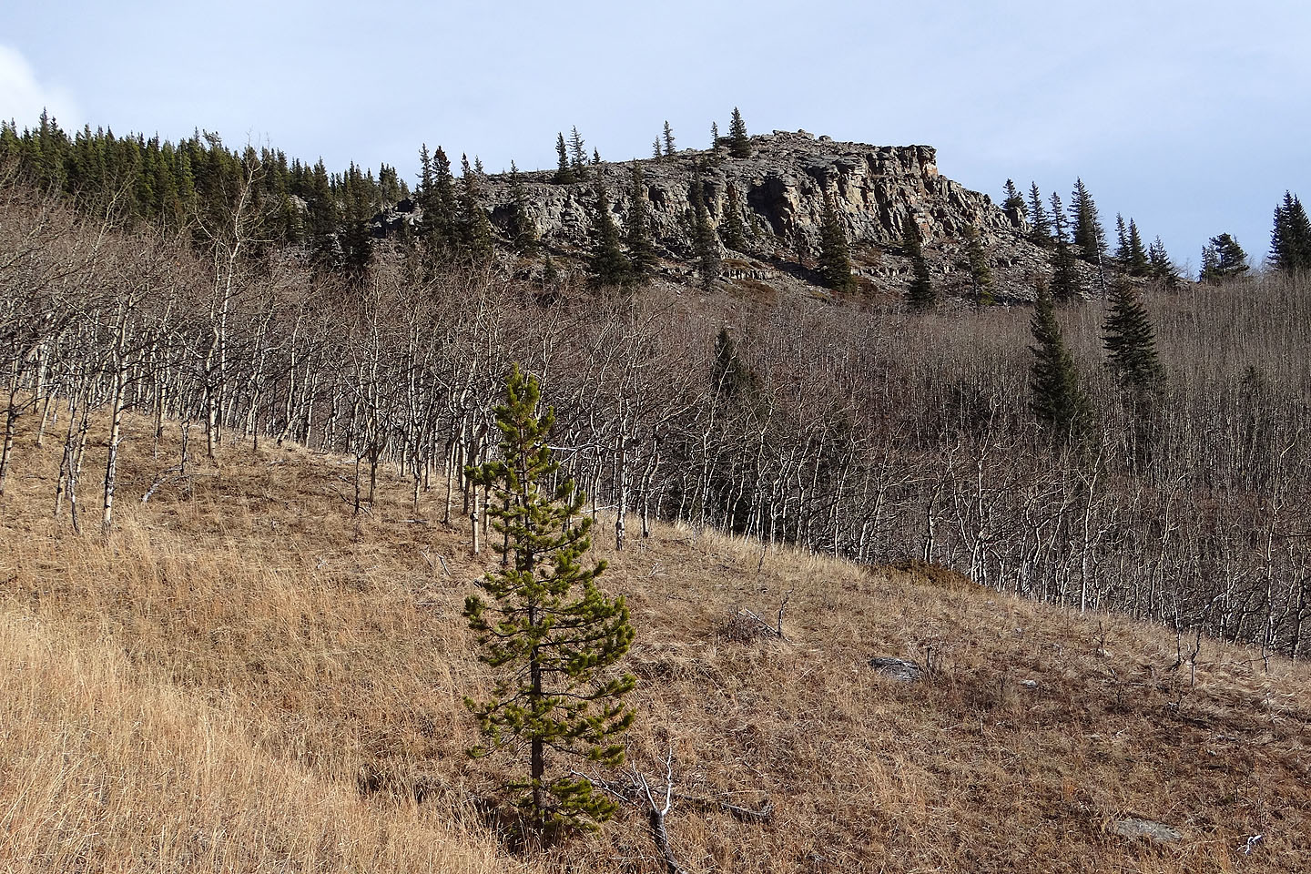
Looking down at the Castle
I dropped down for a closer look
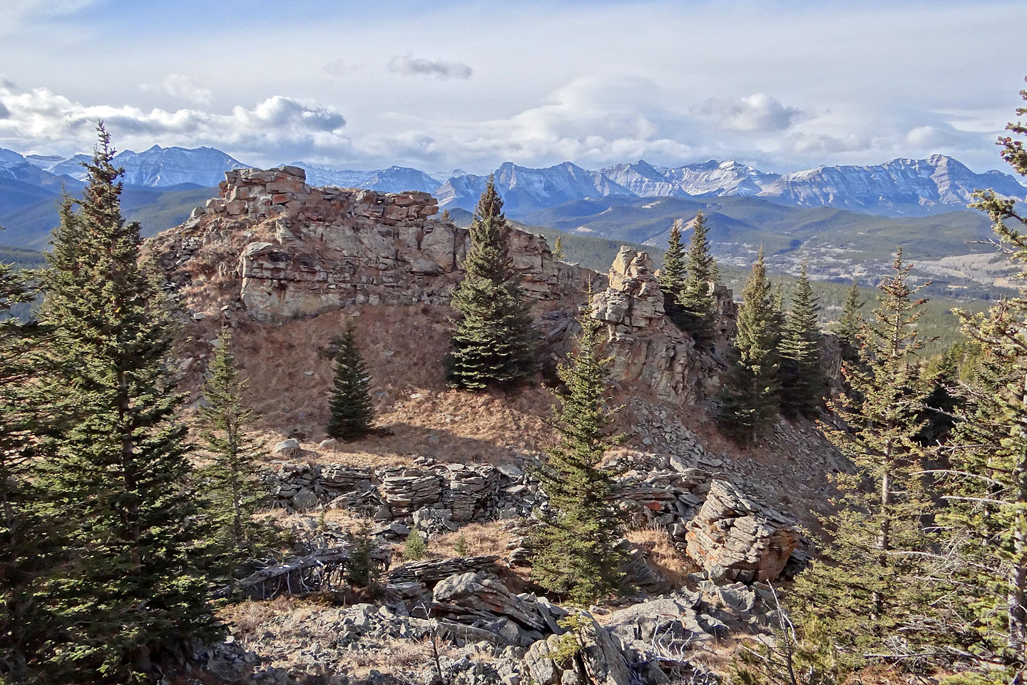
Looking back from the Castle
From the Castle, I hiked down the north end and made my way on the open slopes below
Looking back at the Castle
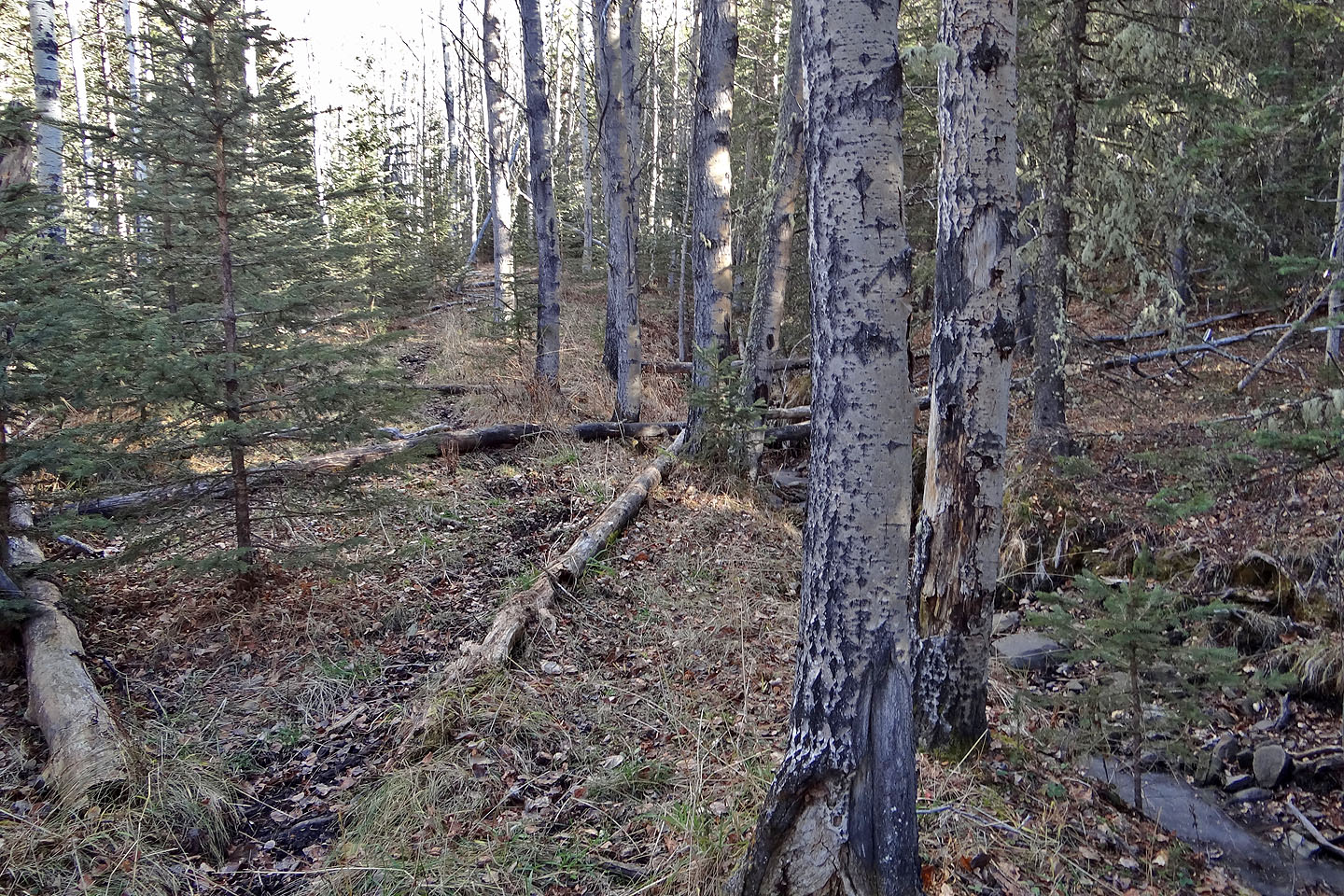
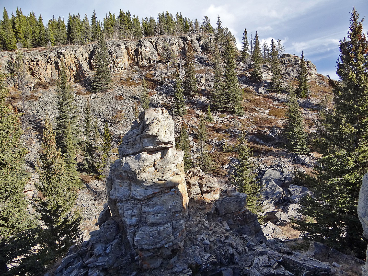
Shortly after taking the previous photo, I came across an animal trail. It appears faint in this
photo, taken near the bottom, but becomes well-defined higher up.
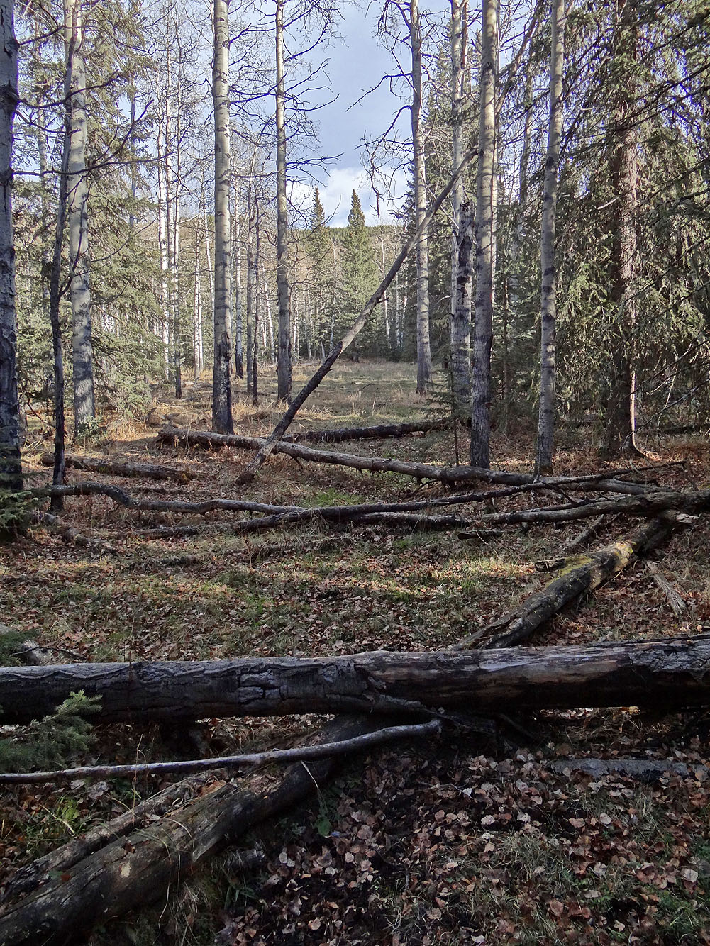
I followed the trail to its start near the campsite
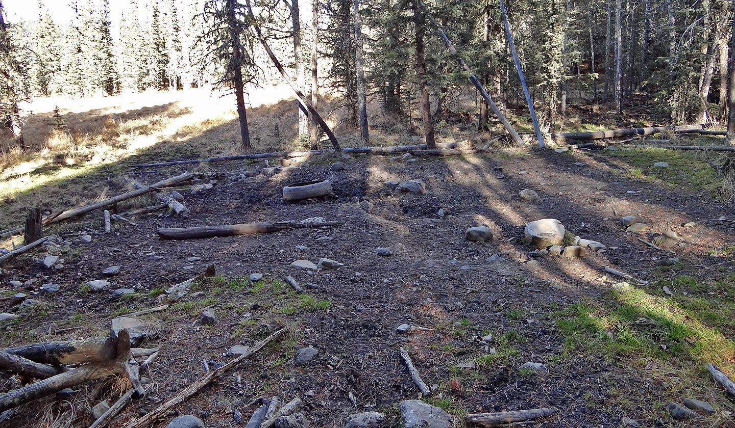
The trail begins 50 m northeast this campsite, through the trees, although you can skirt the
edge of the clearing on the left to reach it
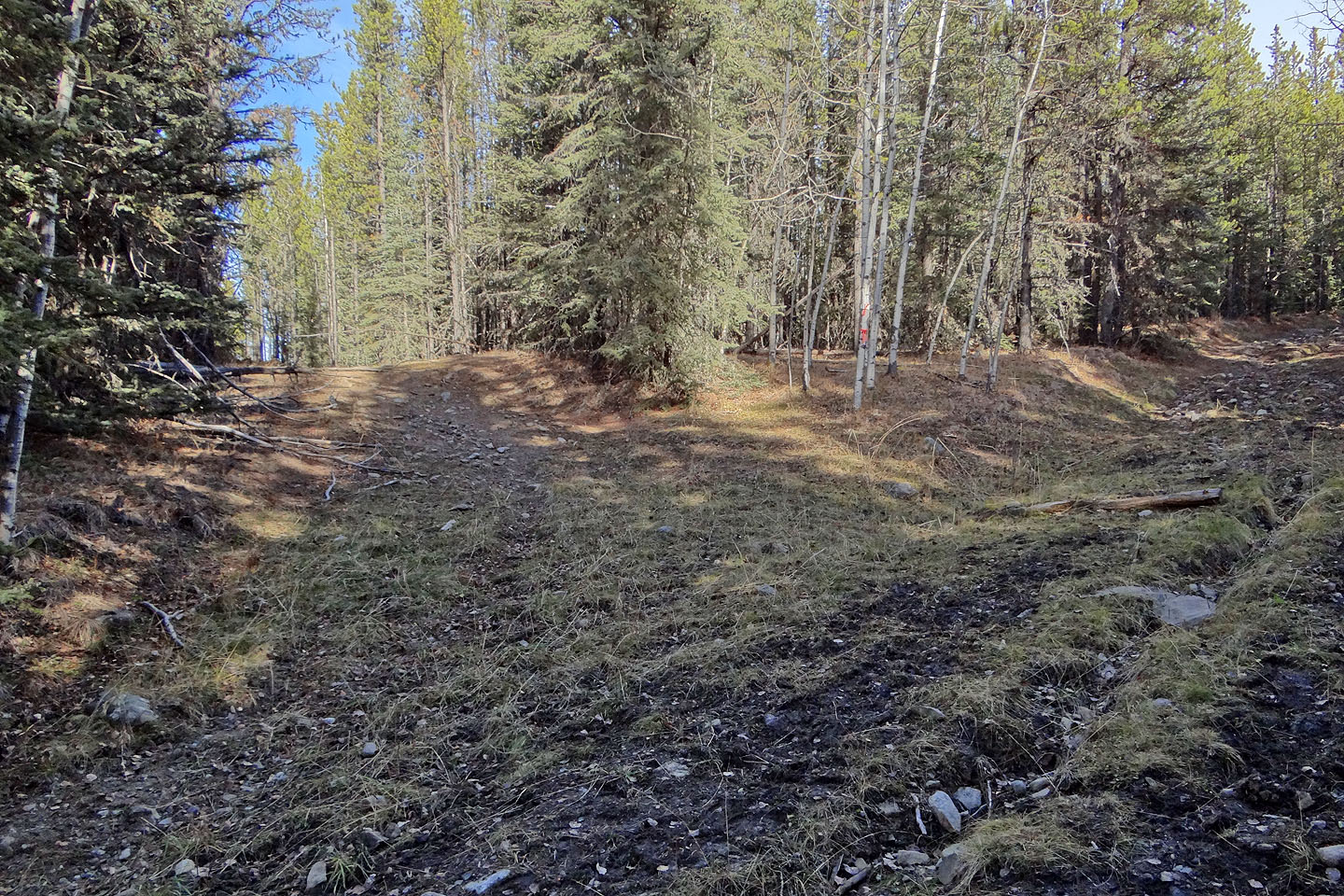
From Green Mountain trail, the side road on the left leads to the campsite
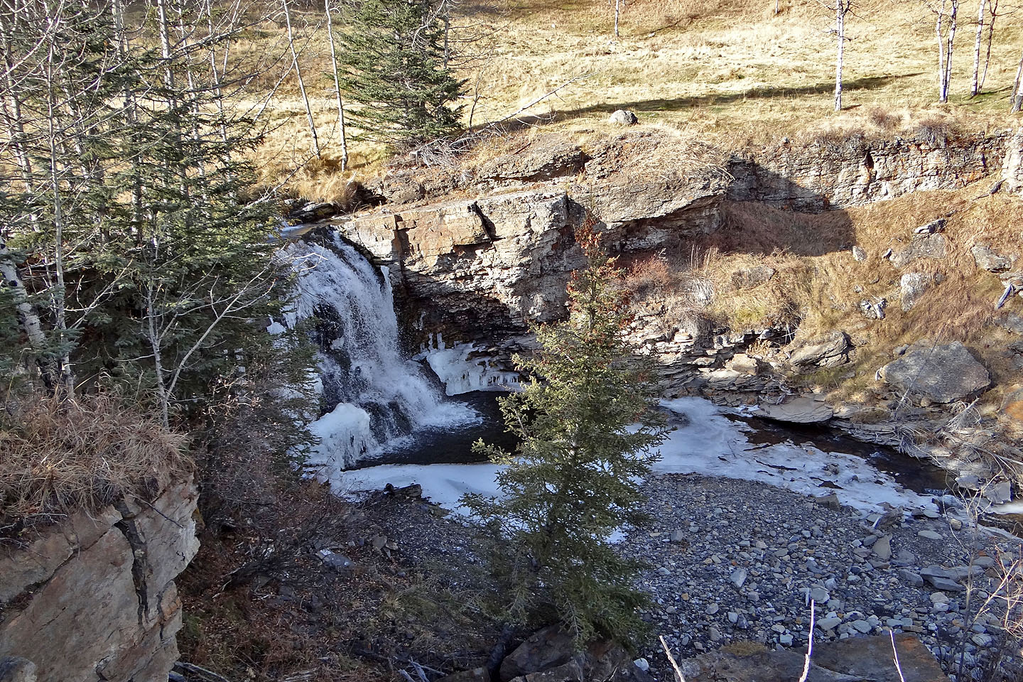
Dyson Falls
Looking back at Dyson Falls and the junction of Teskey Road and Green Mountain trail
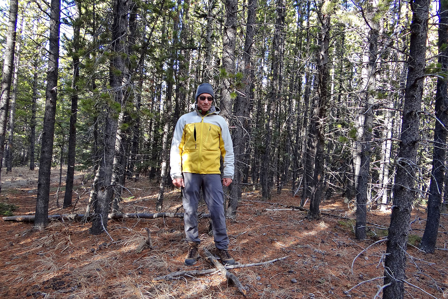
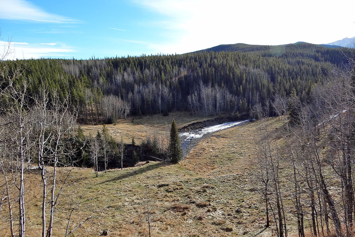
Last look at Green Mountain
82 J/10 Mount Rae