bobspirko.ca | Home | Canada Trips | US Trips | Hiking | Snowshoeing | MAP | About
Mount Hoffman
Kananaskis, Alberta
July 25, 2022
Distance: 9.3 km (5.8 mi)
Cumulative Elevation Gain: 533 m (1749 ft)
When Dinah and I climbed Mount Hoffman in 2011, there was no route information and no path for the last kilometre, but that has since changed. A trail now goes all the way up, and details can be found in Kananaskis Country Trail Guide, Vol. 4. It's now easy to hike this mountain. There's even a trail leading to The Humps, two hillocks north of Hoffman. Eleven years after our first climb, we returned to ascend Hoffman as well as The Humps.
Like before, we parked at Indian Oils Day Use Area and hiked 1.8 km up Sheep trail to just before it crosses Hoffman Creek. We turned onto the side trail – an old logging road – that leads to Hoffman. We followed the path to the fork below the col and kept right to climb The Humps.
The trail reaches the top of the first hump, and there we turned our attention to the second, higher hump. We started down a faint trail only to realize it must be a shortcut back to the main trail. We left it and made our way through a thin forest to the saddle between the humps. After starting up the second hump, we encountered a short rock band. We kept right and hiked easily around it. We soon reached the summit, but it turned out to be disappointing: trees permit only narrow views. For the effort, the second hump hardly seemed worth it. We retraced our steps back to the fork at the col and continued up Mount Hoffman.
The trail continues to the end of the logging road. Here the trail turns and begins a steep climb (in the future, switchbacks will be added here). The grade eventually eases, and the trail pops out of the forest. Ahead, the trail gently climbs a meadow to the summit and reveals a striking stretch of peaks to the west and south. Once again, we stood on top of Mount Hoffman.
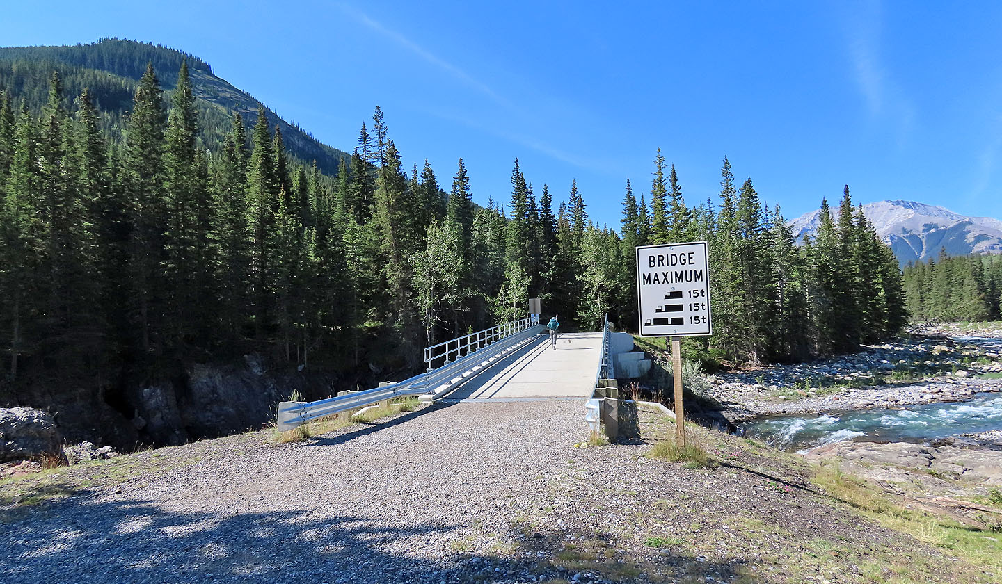
Dinah crosses Sheep River bridge. The Humps are left.
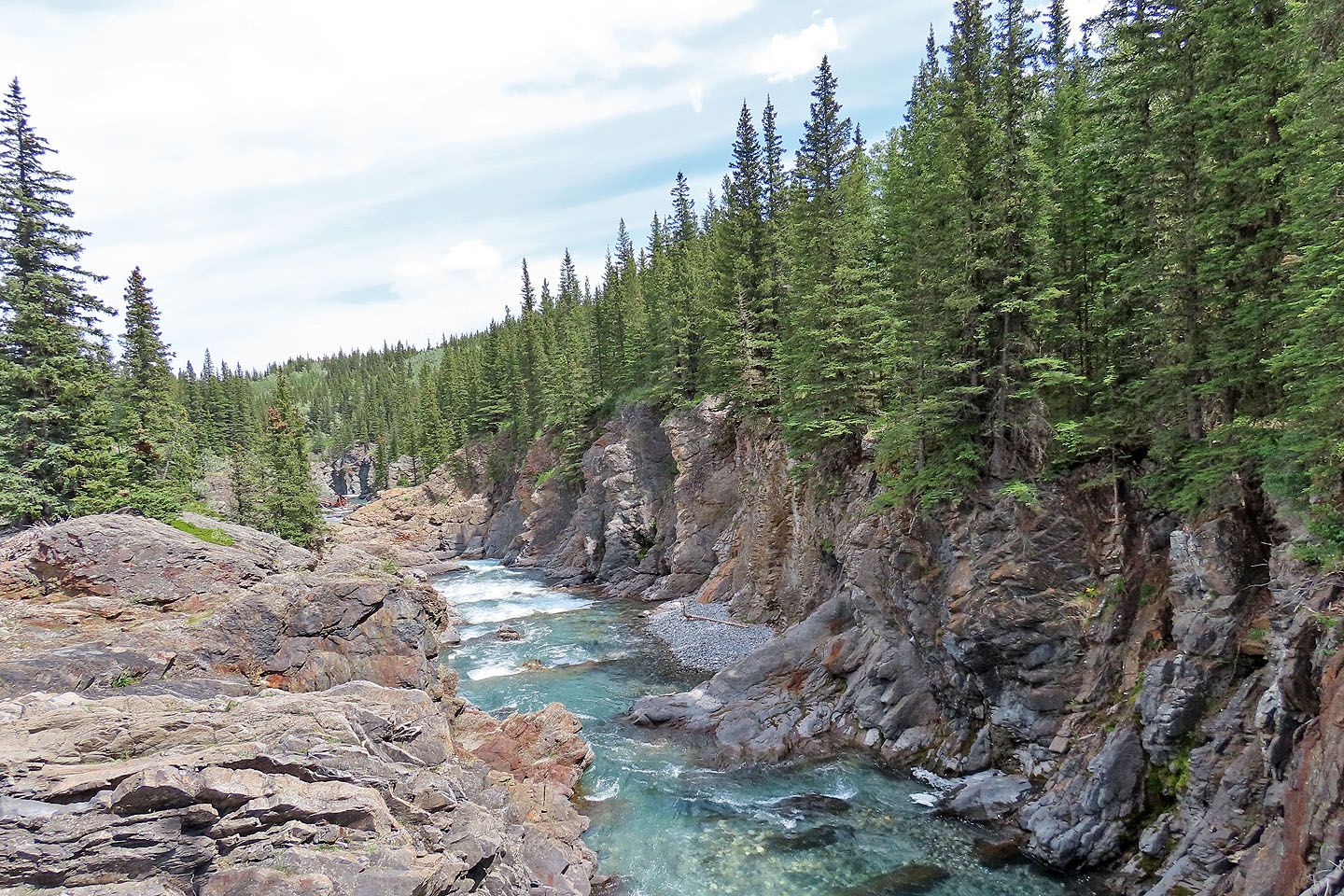
View of the river from the bridge
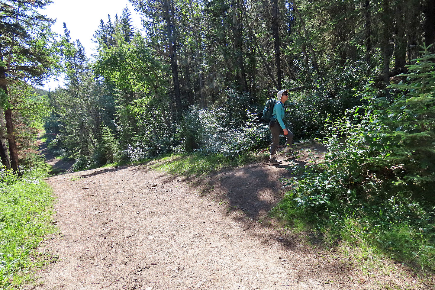
After hiking nearly half an hour on Sheep trail, we turned onto the trail for Hoffman
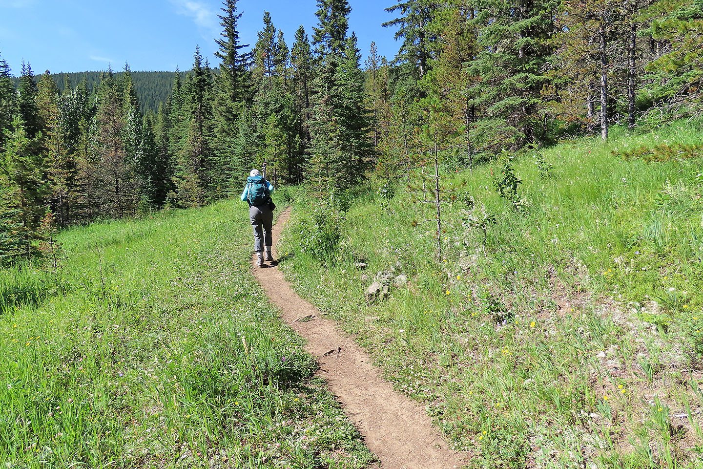
There is little evidence of the road, but the trail is obvious
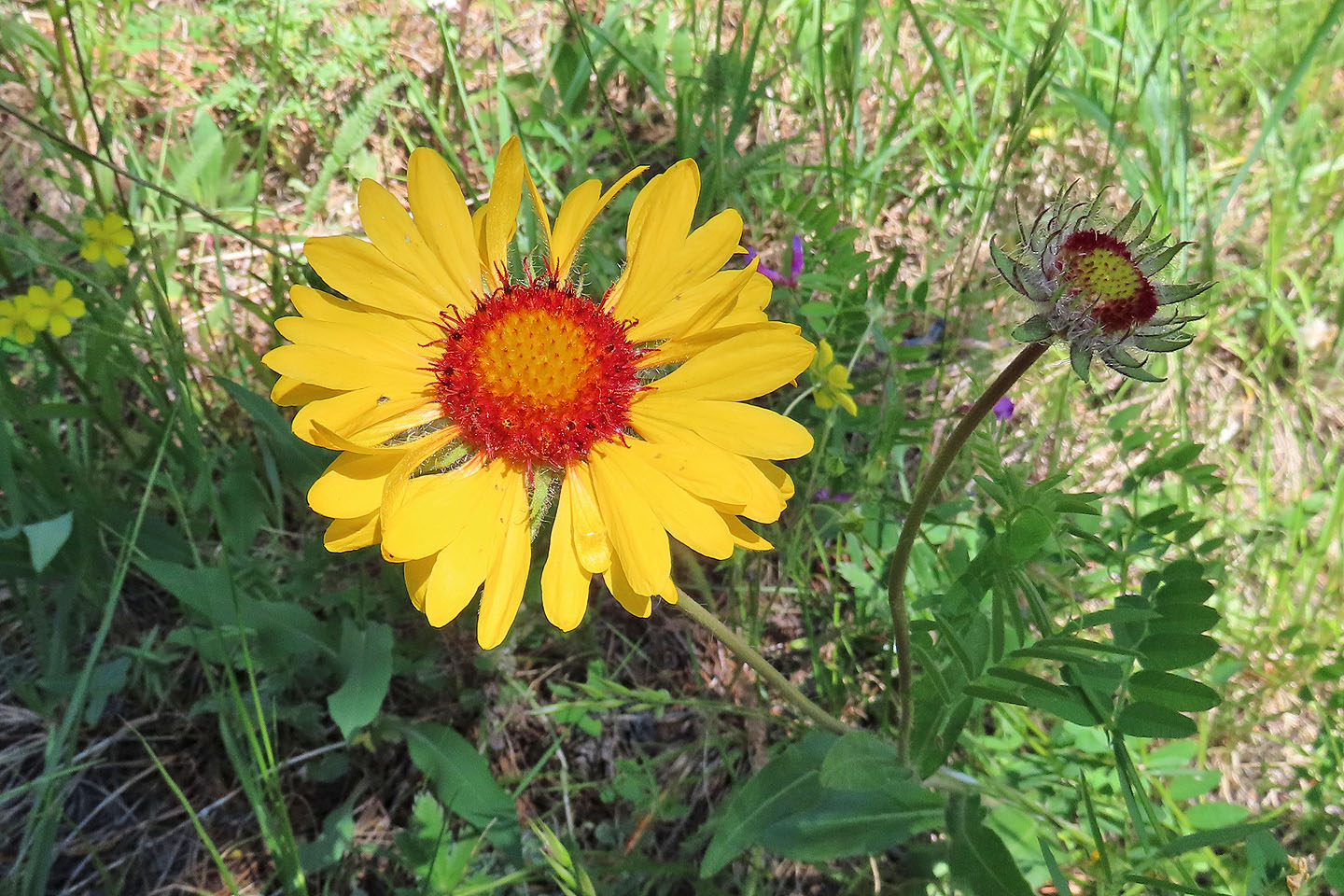
Brown-eyed Susan
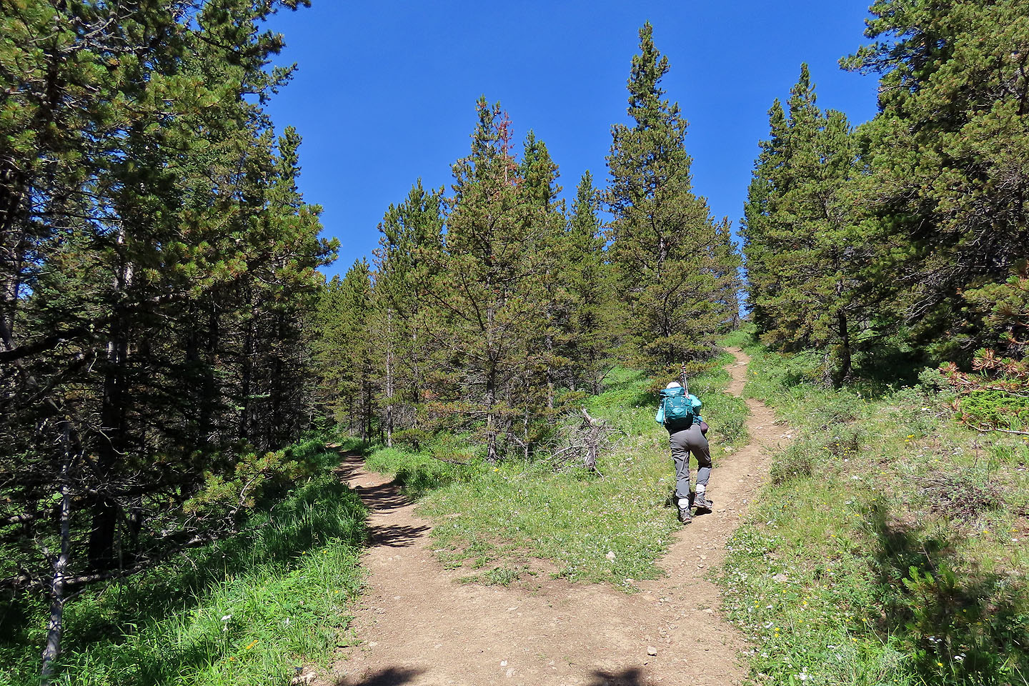
Taking the fork for The Humps
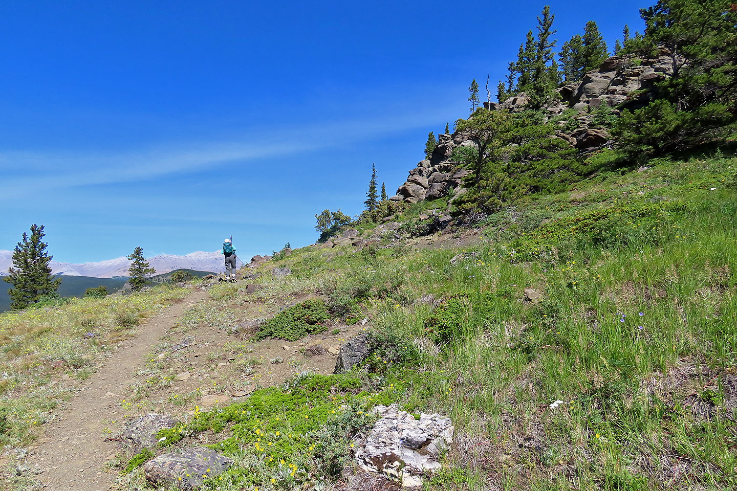
Coming to the first hump
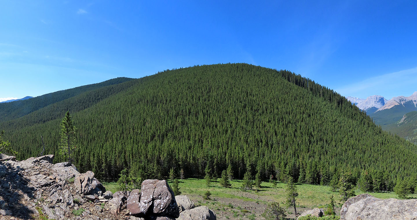
Looking at the forested slopes of Hoffman from the first hump
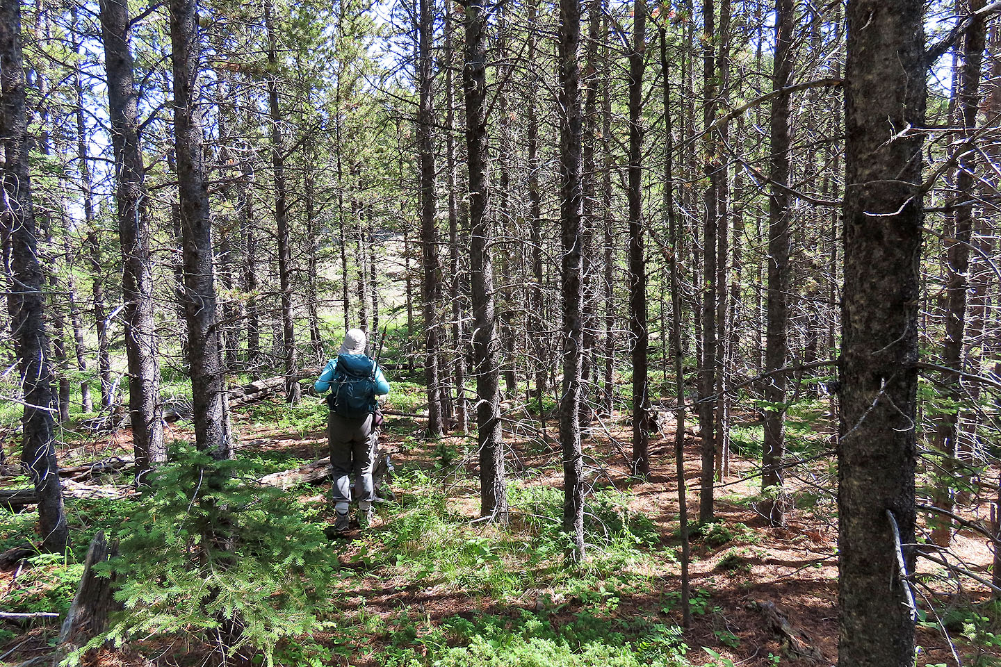
We made our way to the saddle between the humps
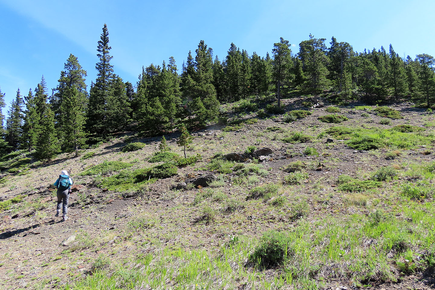
Starting up the second hump
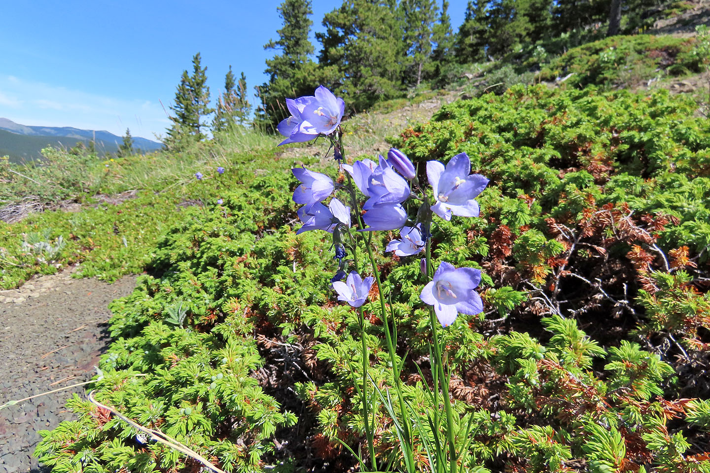
Harebells
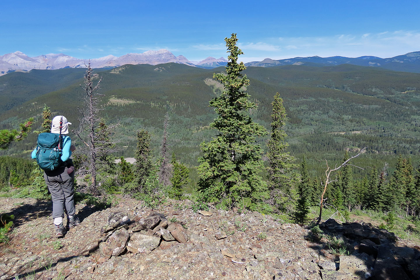
A cairn marks the top
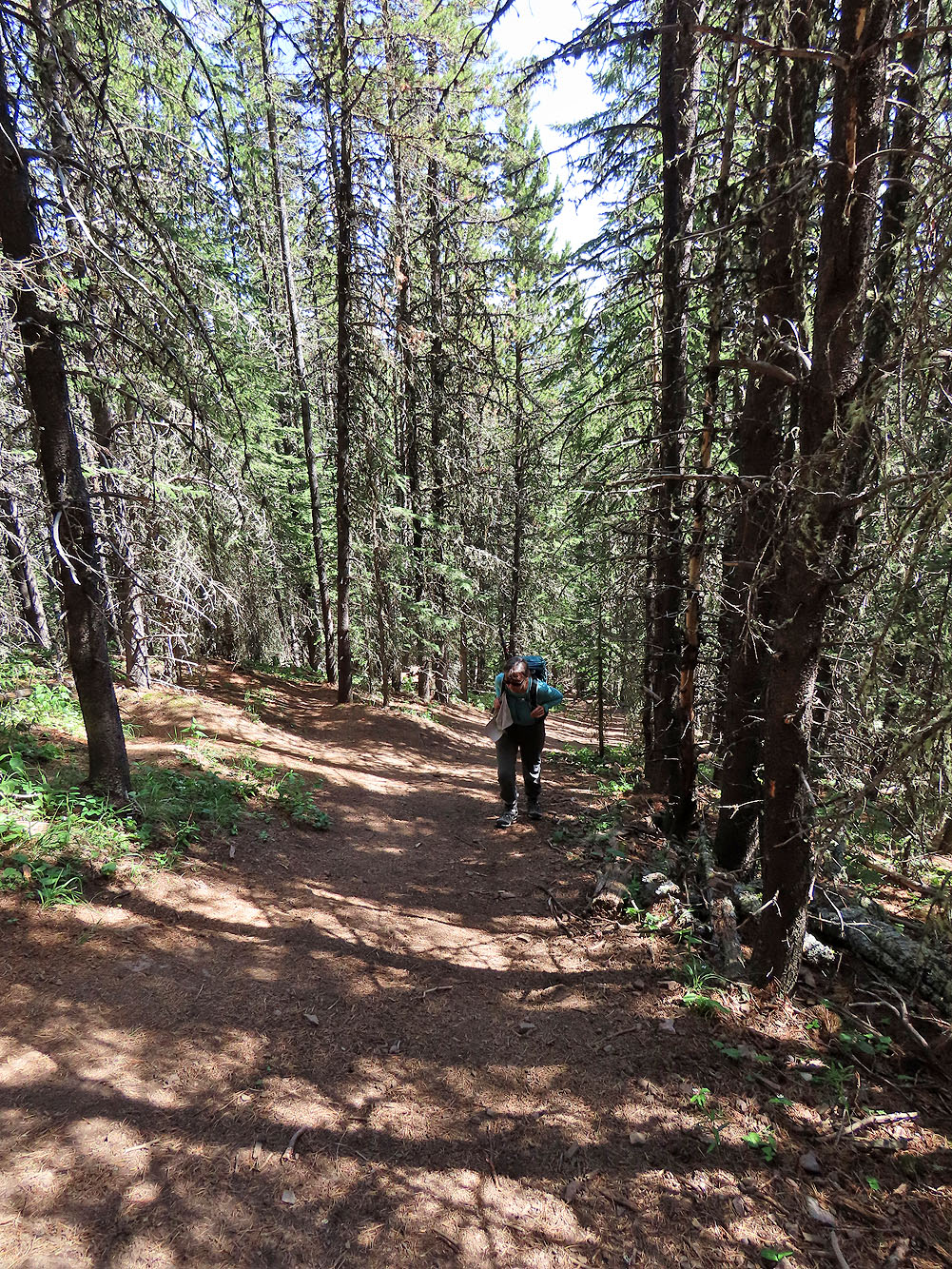
Going up the steep trail to Hoffman
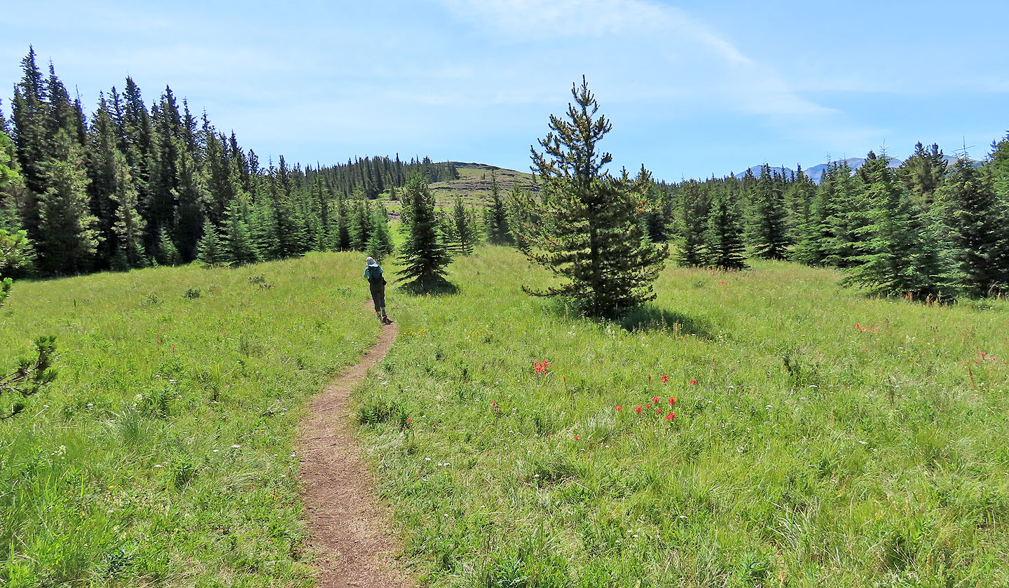
The last stretch crosses meadows
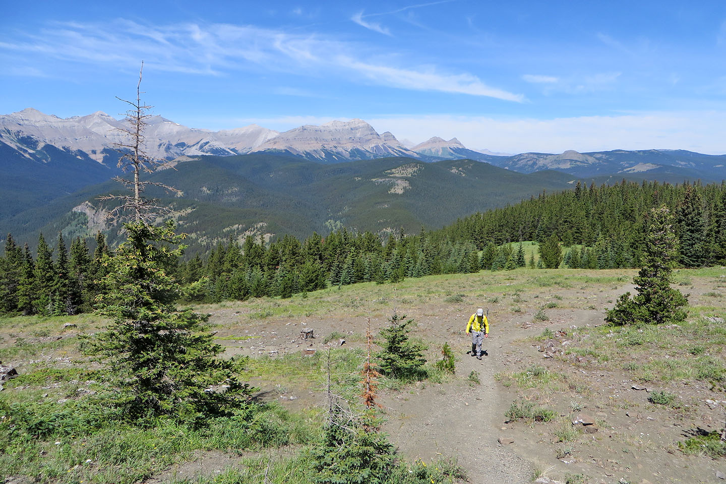
Looking back. Bluerock Mountain in the centre (mouse over for a close-up).
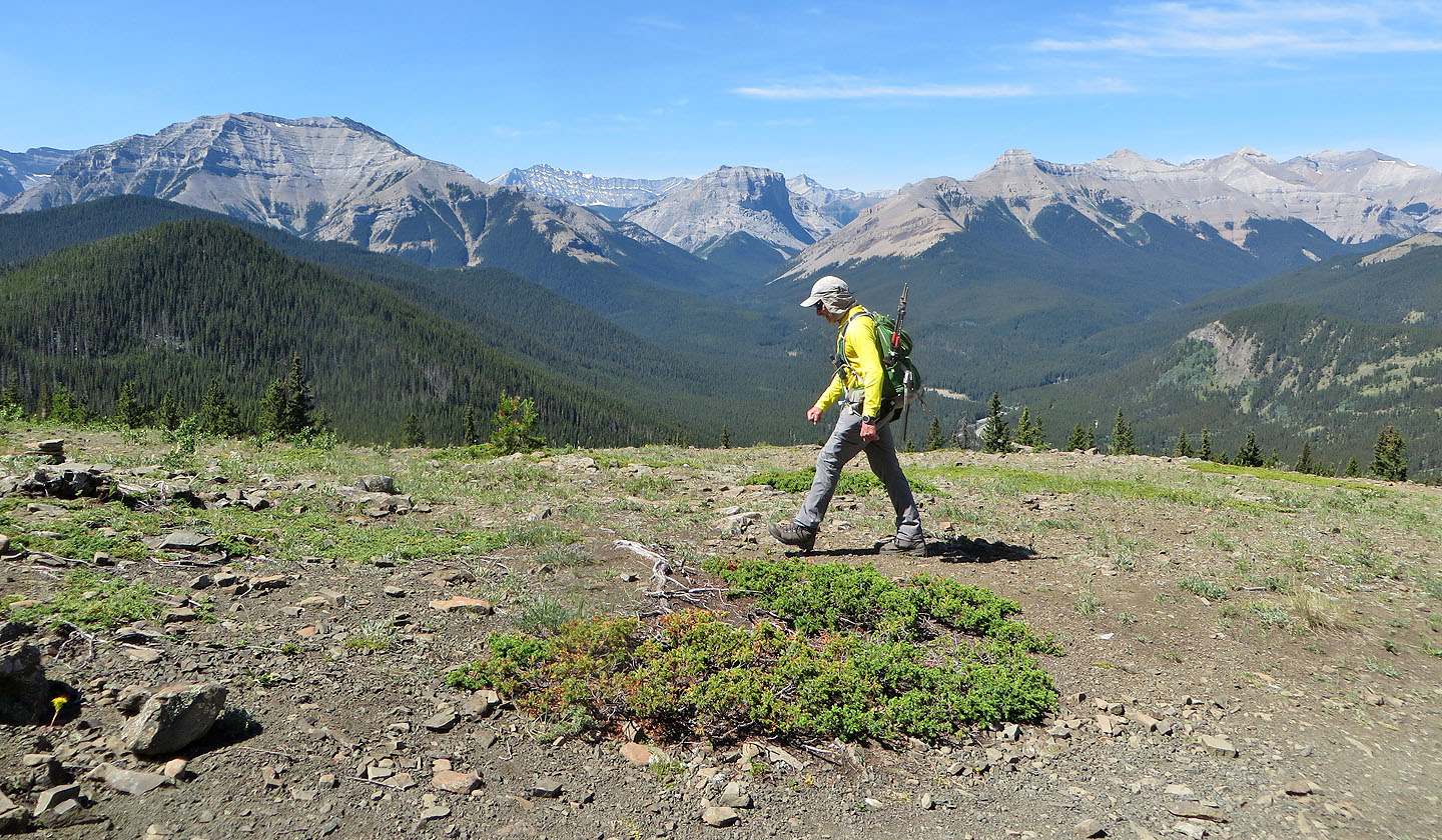
Looking west. Gibraltar Mountain in the centre.
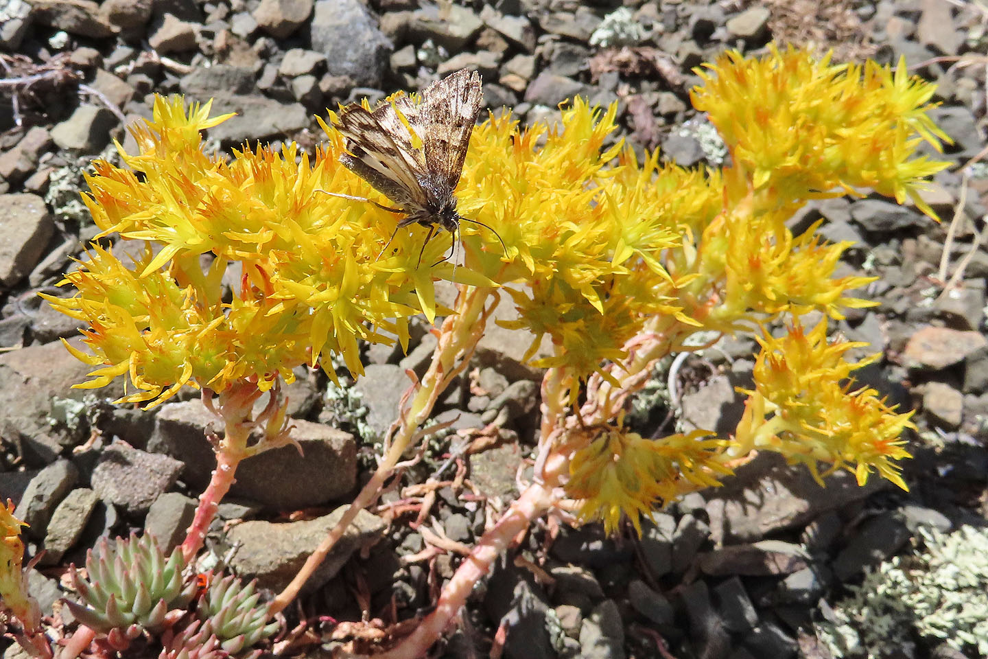
A small butterfly feeds on stonecrop
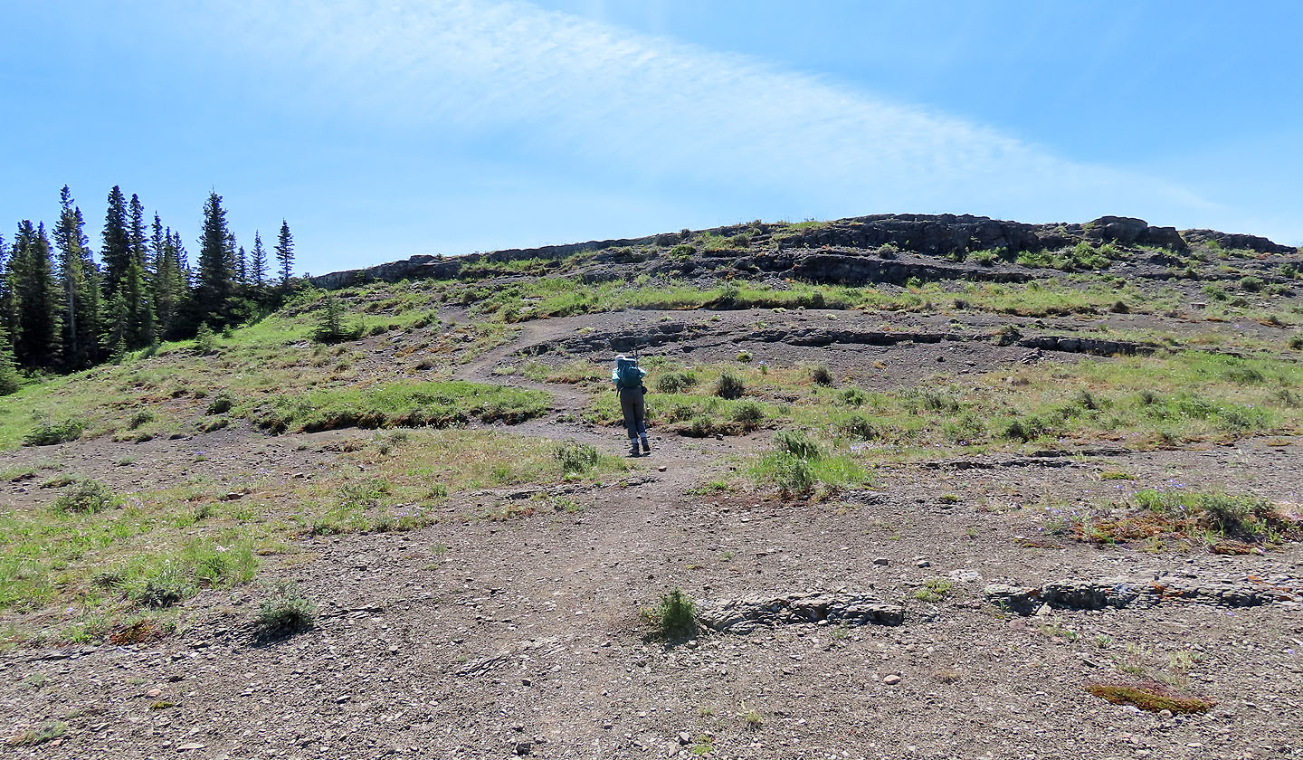
Coming up to the summit
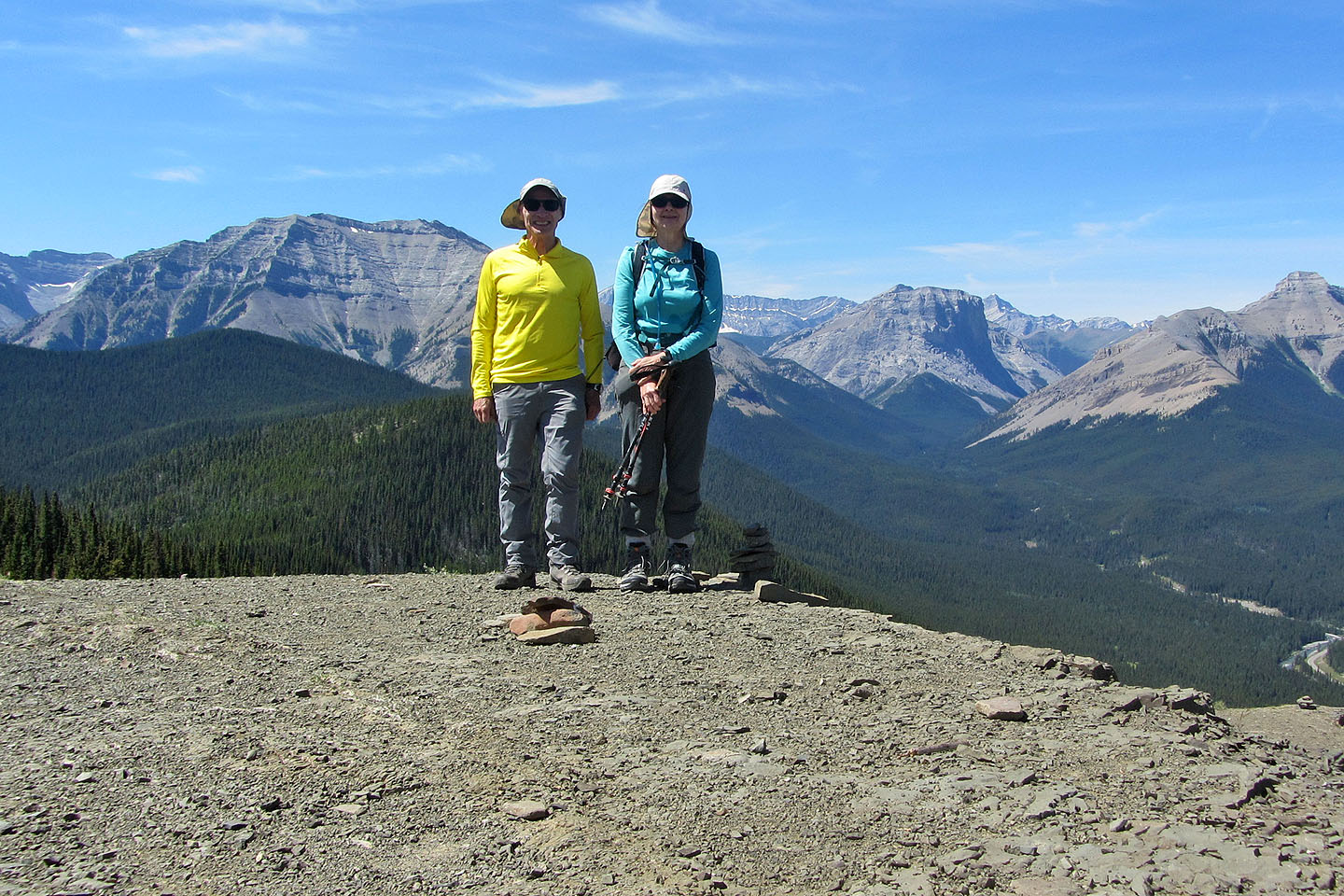
Standing on the summit
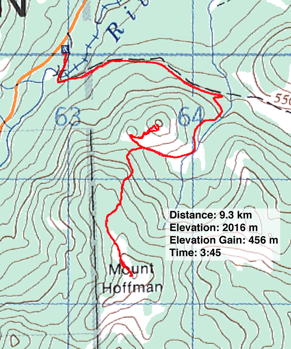
82 J/10 Mount Rae
