bobspirko.ca | Home | Canada Trips | US Trips | Hiking | Snowshoeing | MAP | About
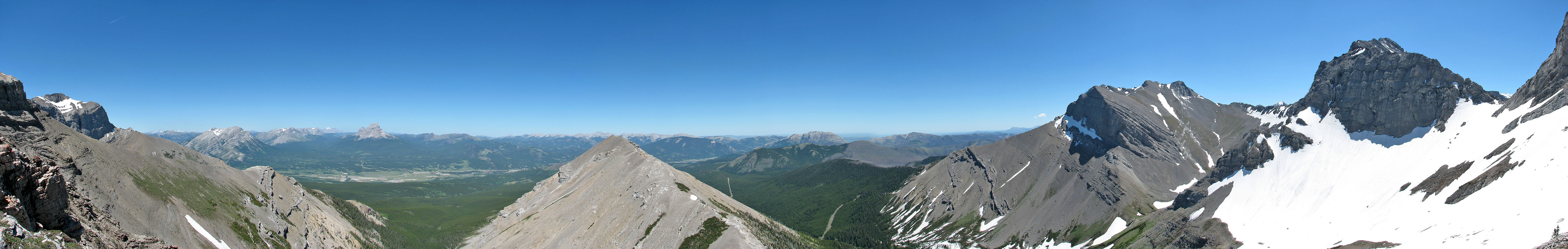
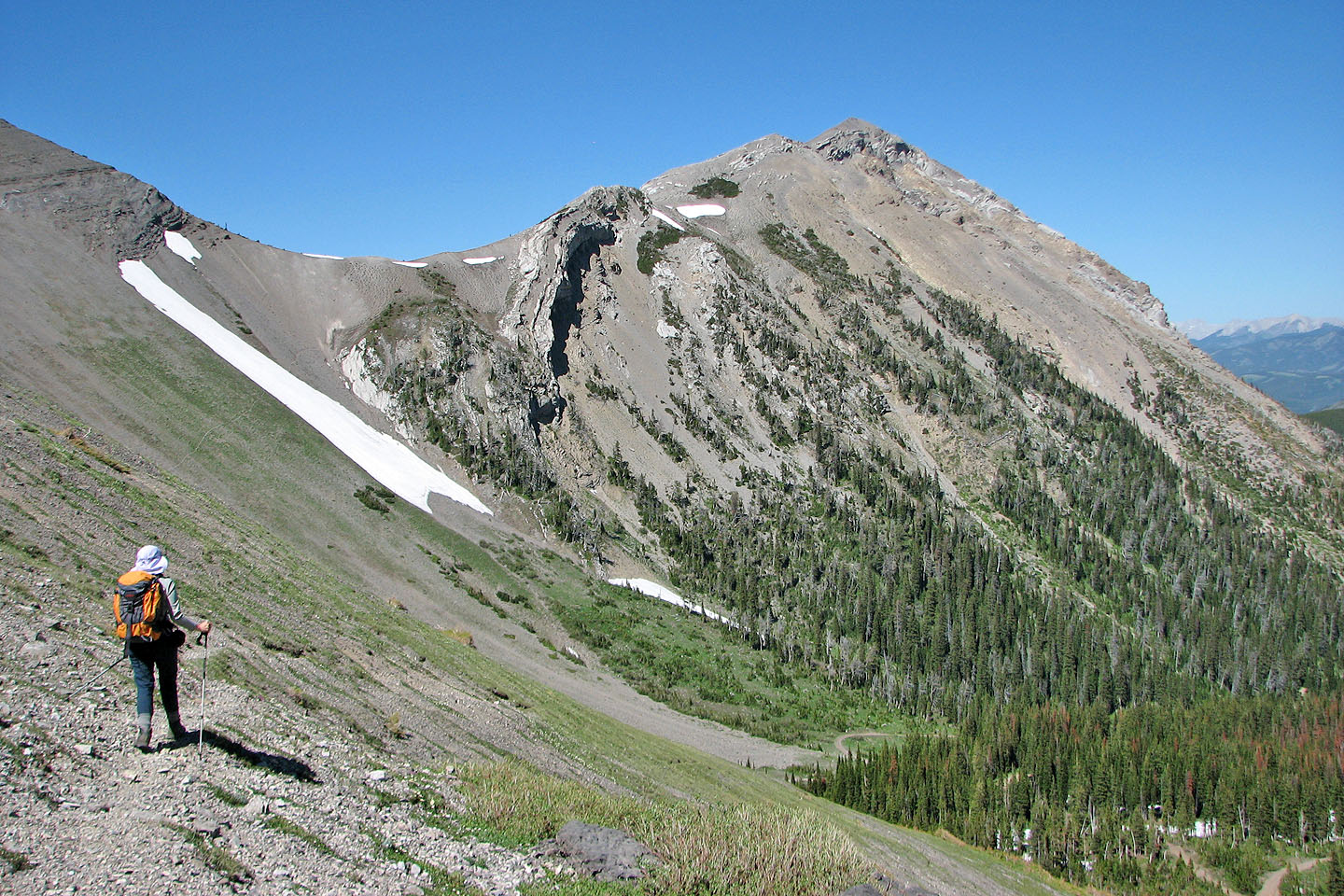
Looking south from the nub
Mount Parrish (attempt)
Crowsnest Pass, Alberta
June 28, 2008
We wanted to try Mount Parrish last year, but a fire ban prohibited hiking in the Crowsnest Pass most of the summer and into the fall until the first snowfall. To avoid the possibility of the same fate this year, Dinah and I decided on an early-season attempt. Unfortunately we had to turn back because of snow. Sometimes you can't win!
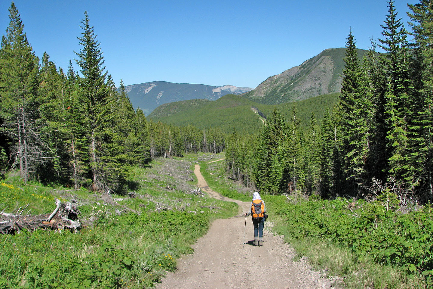
Mount Parrish overlooks the 1946 plane crash site, and a 4x4 road leading to the site provides an approach route. We took our bikes but ditched them after cycling only 1.4 km when we reached a steep, rocky section.
Six years ago in October when we hiked up the road to the crash site, we found solitude. This time we seldom escaped the racket of off-road vehicles. Nervously we hiked in readiness, leaping out of the way whenever we heard a pending vehicle. The road too had deteriorated since our previous visit.
With temperatures soaring to 30°, hiking the open section of the road without the benefit of shade or clouds was an ordeal for Dinah who is less heat tolerant than I. But she quickly recuperated after we took a break in the trees at the crash site, and we set off for Mount Parrish.
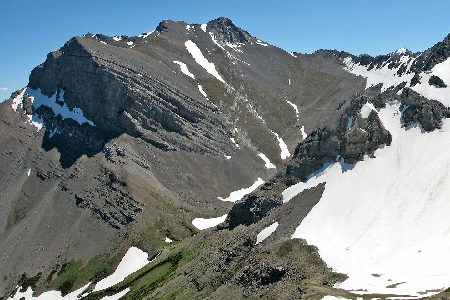
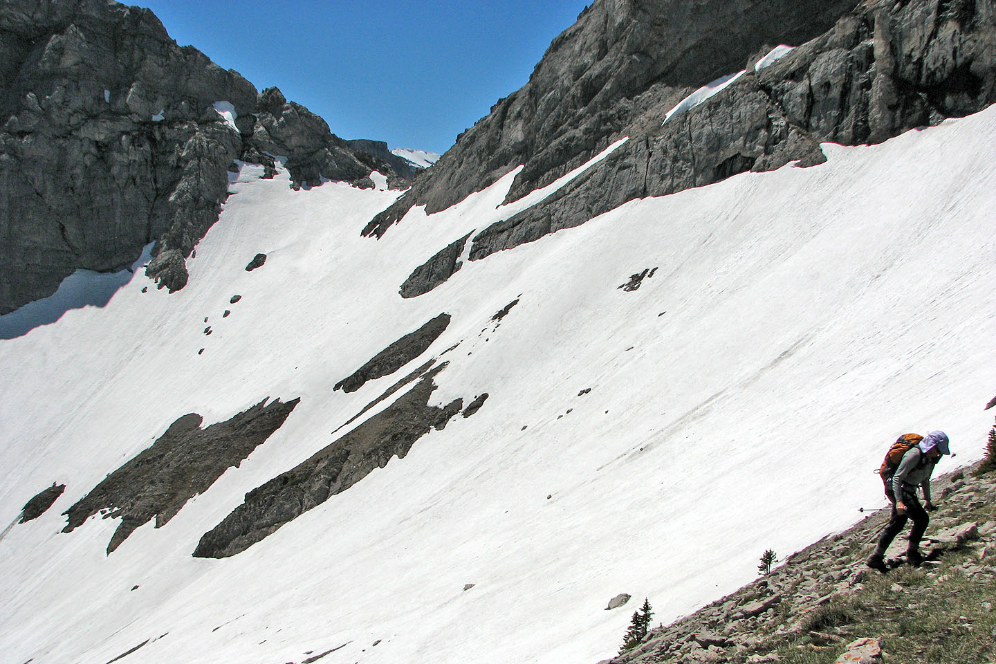
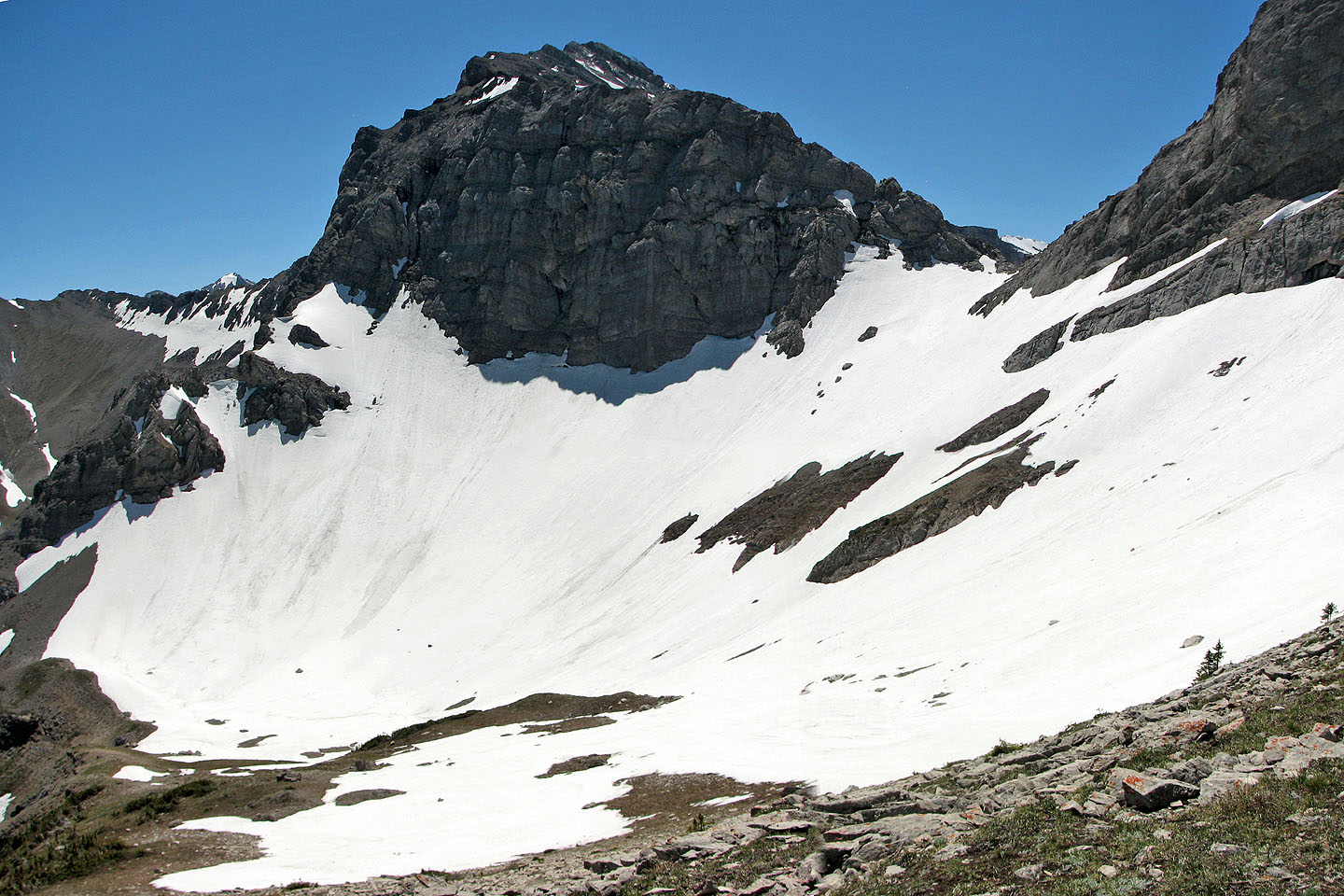
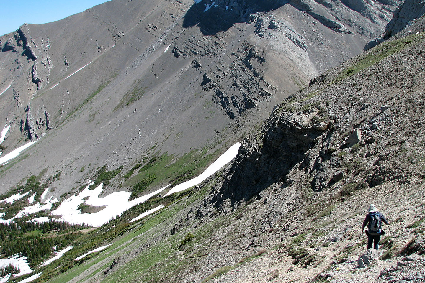
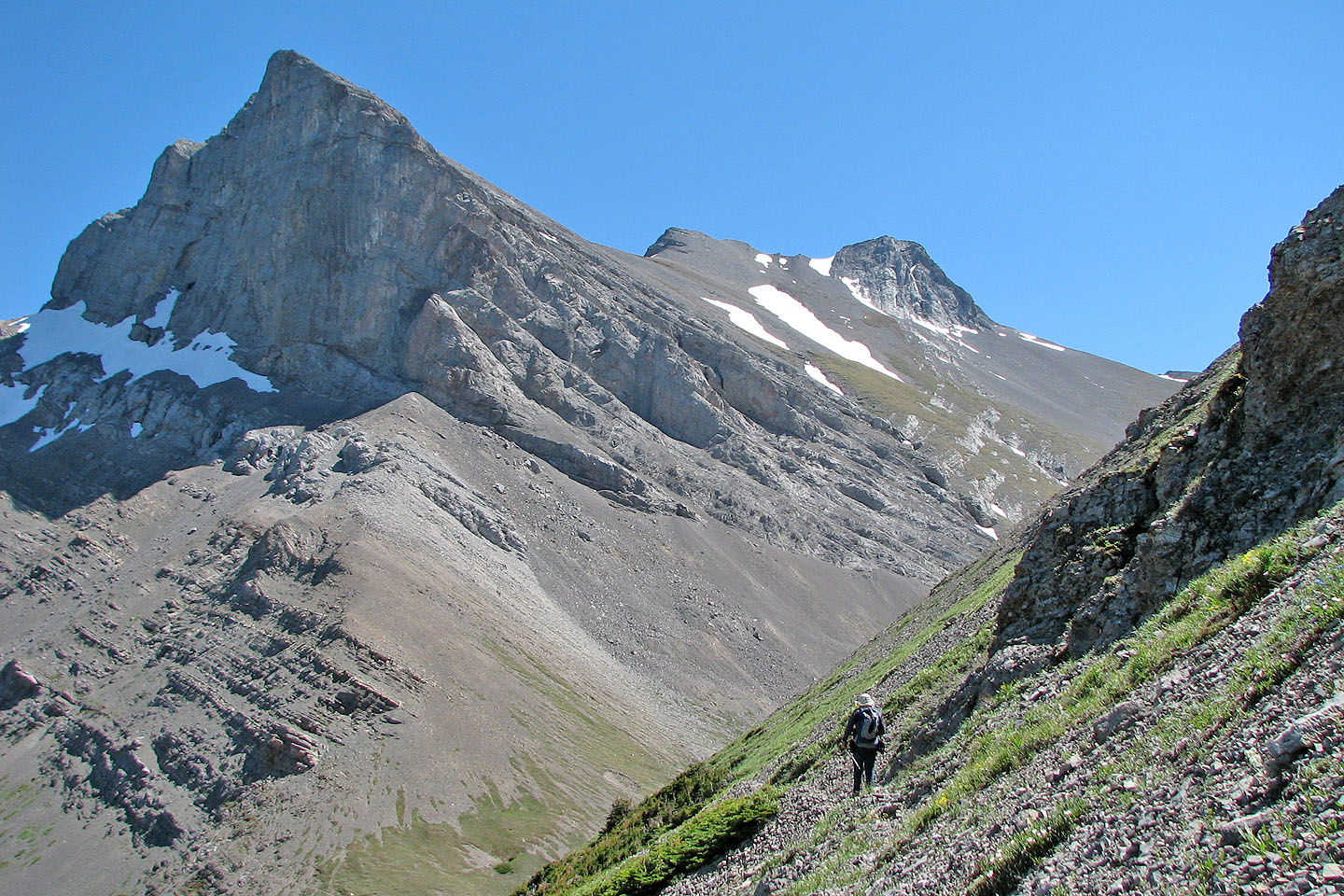
First we had to reach the cirque below the mountain. From the cirque we could climb to the Andy Good-Parrish col and hopefully scramble to the summit. But after reaching the cirque, we were dismayed to find it filled with snow. The steep slope leading to the col showed signs of recent slides.
Standing in the icy basin was a welcome relief from the heat while we pondered what to do next. Dinah suggested we climb the nub (748940) next to the summit so off we went.
At 2328 m we reached the highest point of our trip. We were 200 m below the summit of Mount Parrish and slightly higher than neighbouring Mount McLaren. Even at this altitude it was hot, so we retreated down to the cool cirque.
From the cirque, we found a trail that traverses high along the slope to the cirque below Mount Coulthard before dropping down to the crash site. Back on the road, we avoided several dirt bikes as we made our way back. Inadvertently we missed a turnoff and came back on a different road. This road has advantages over our approach route so we'll use it next time.
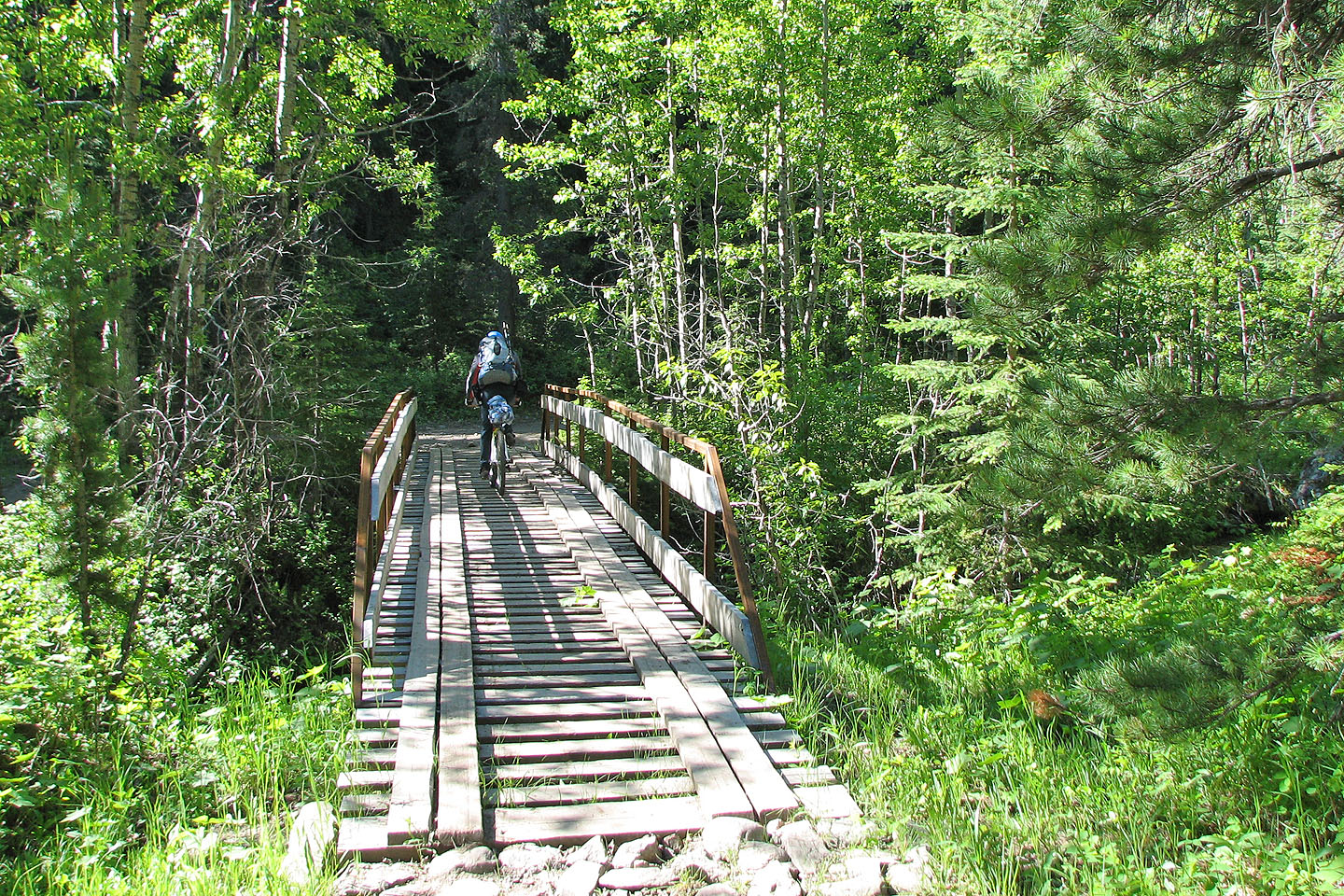
We started off on bikes but soon abandoned them
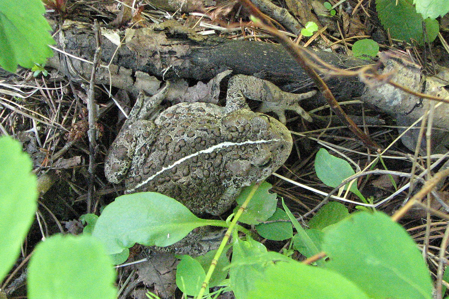
The only sign of wildlife we saw was this toad
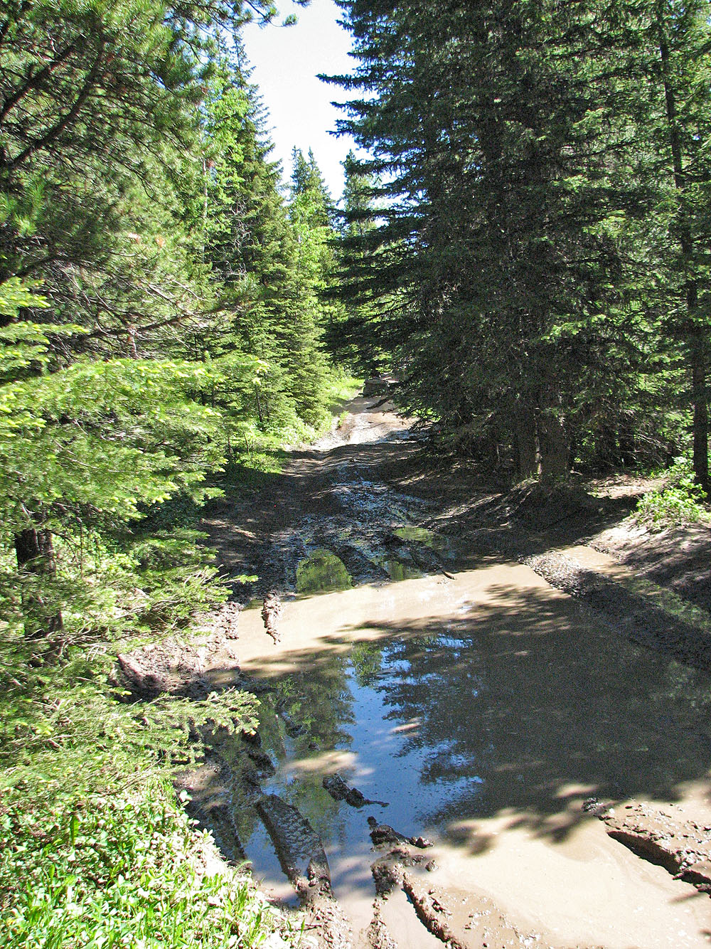
Parts of the road were hellish. Ahead is a quad.
Hiking up the road to the plane crash site
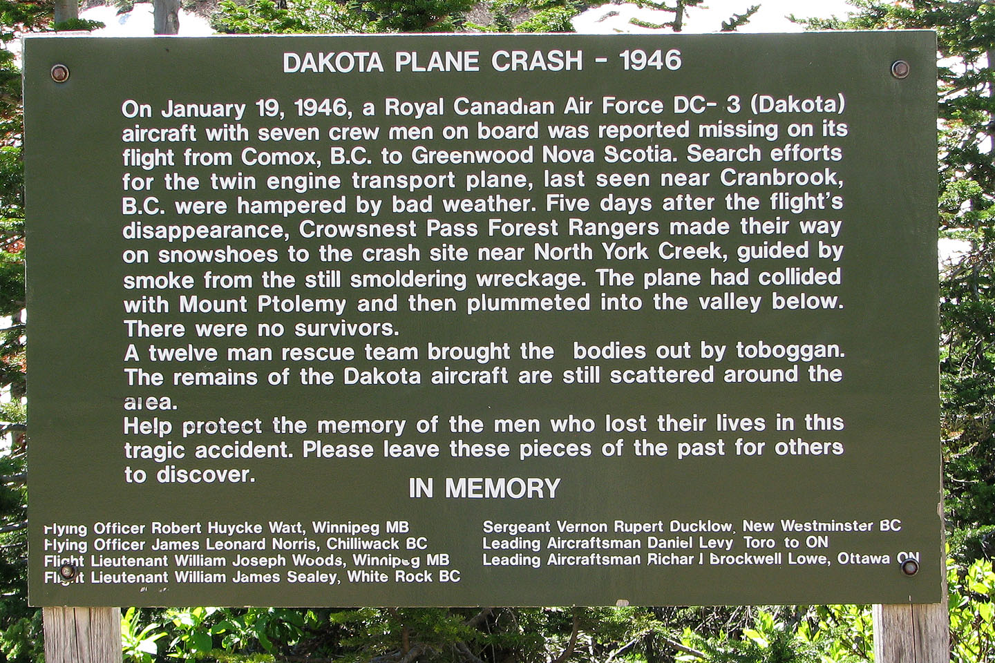
Sign says it all
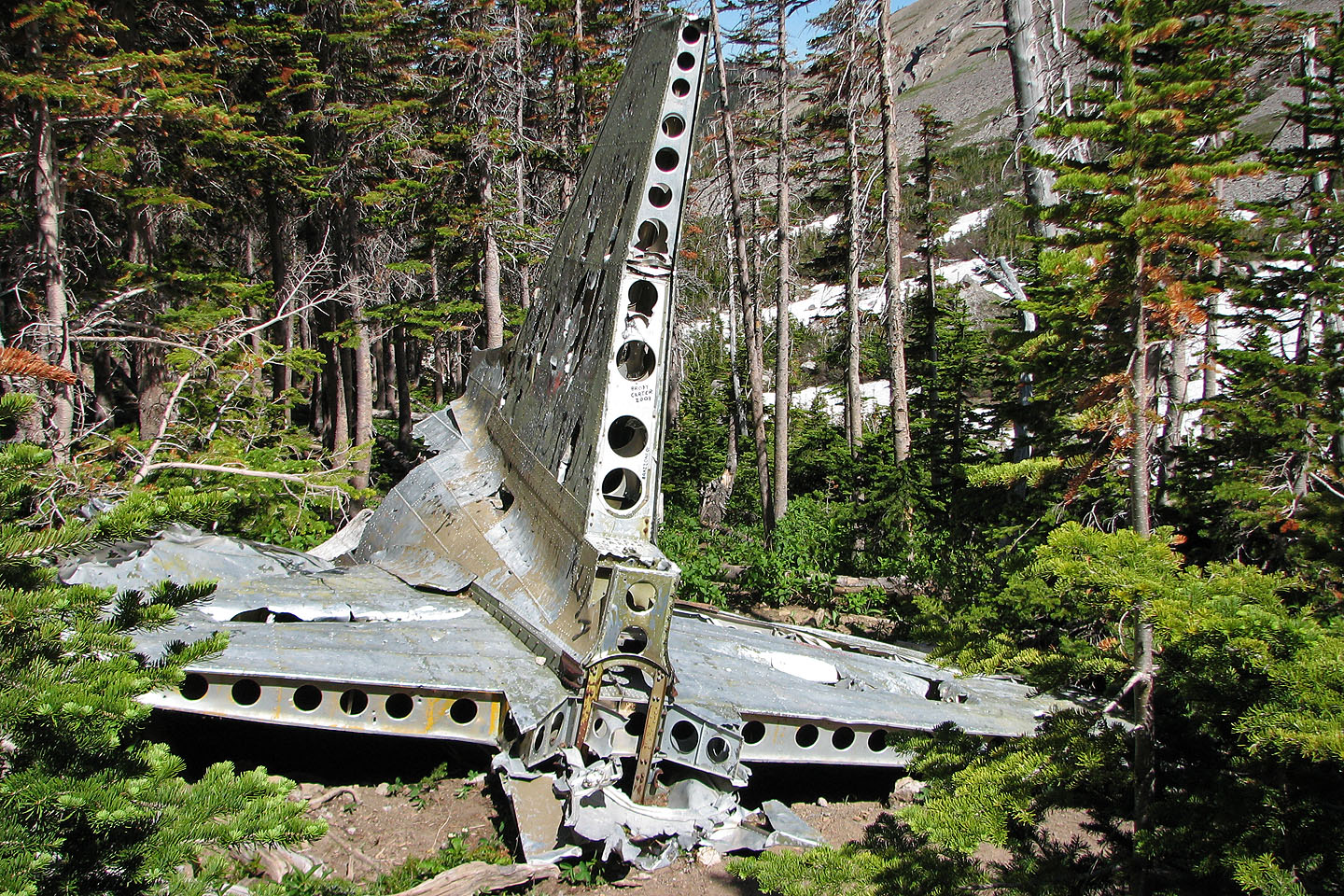
Tail section of the plane
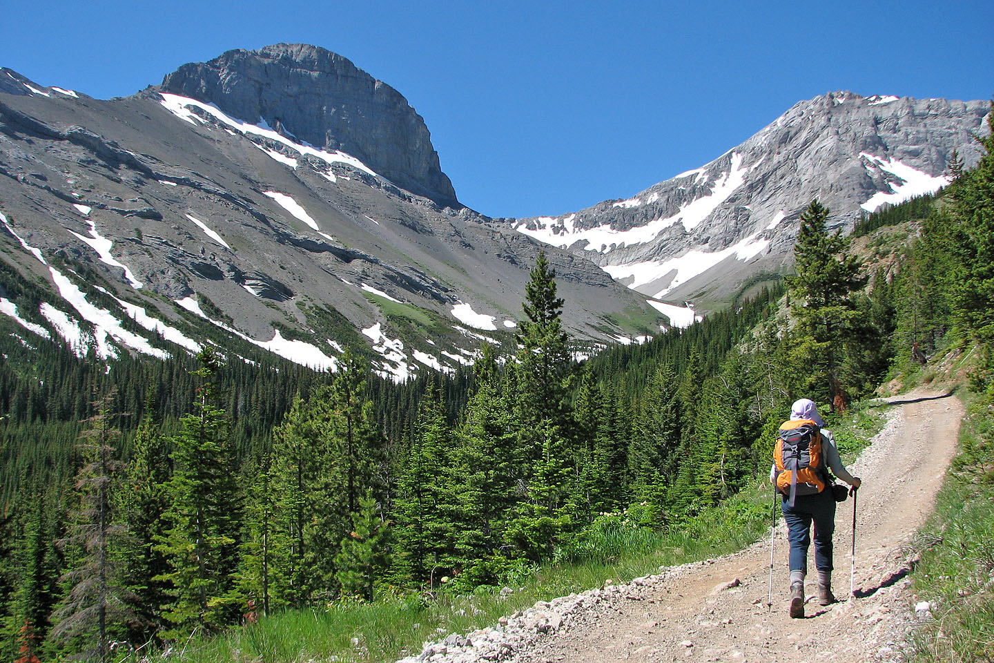
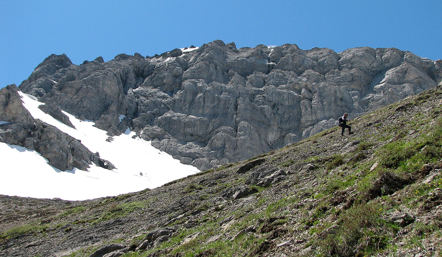
Setting off for Mount Parrish (left) from the crash site
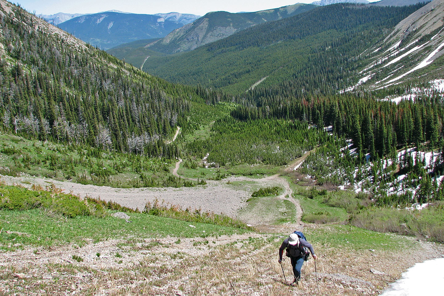
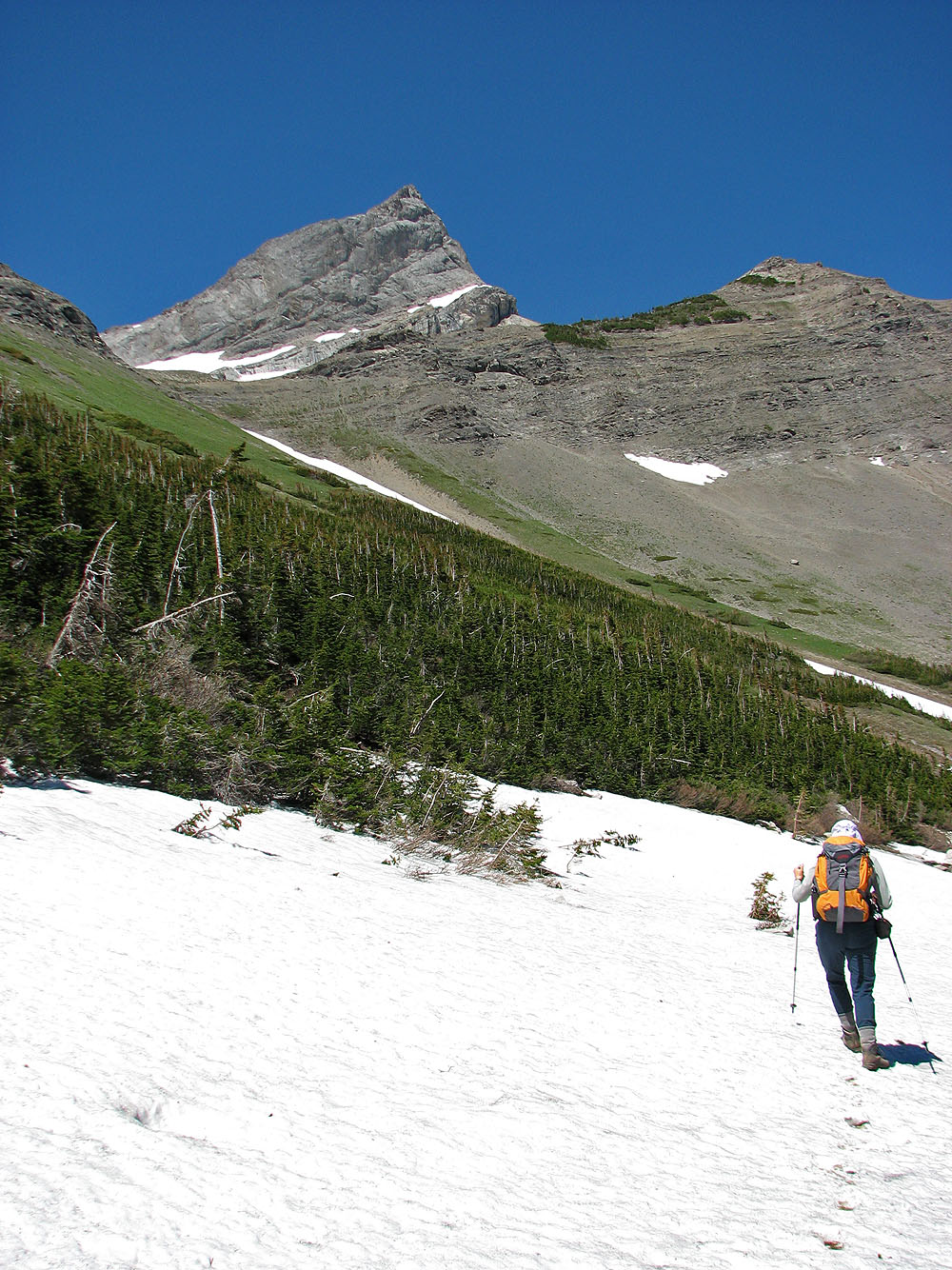
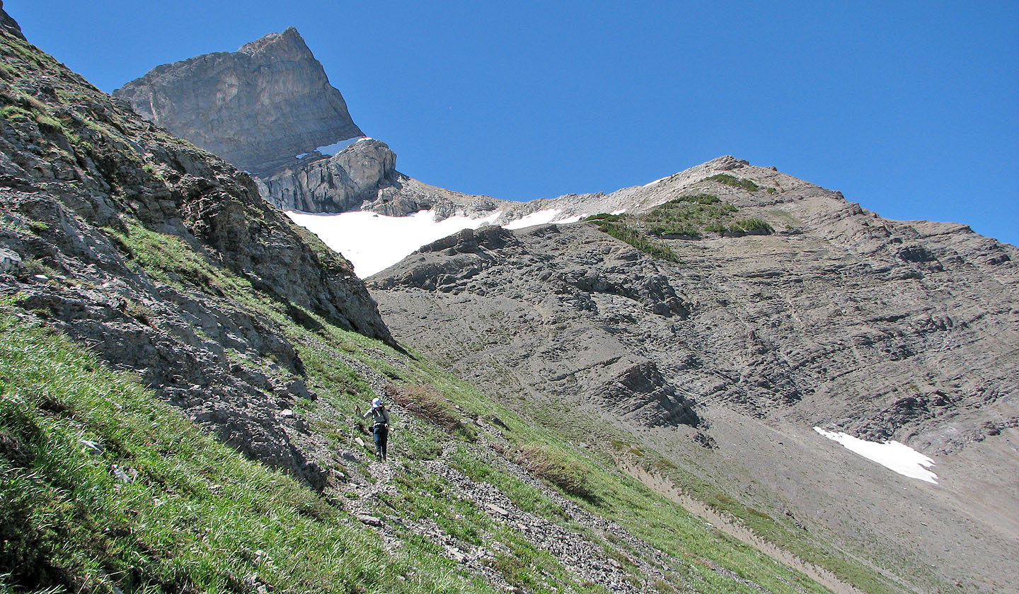
Heading to the cirque
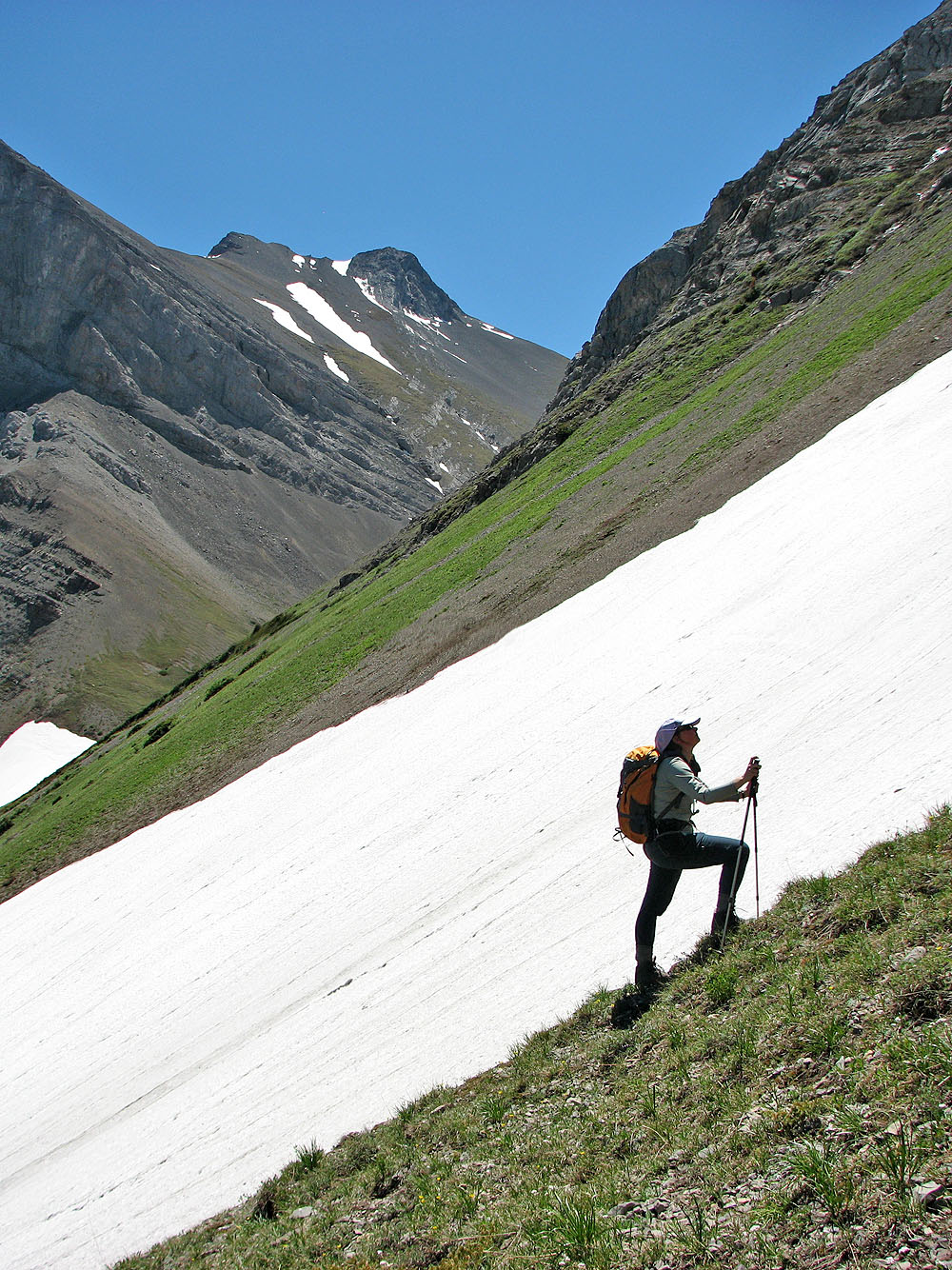
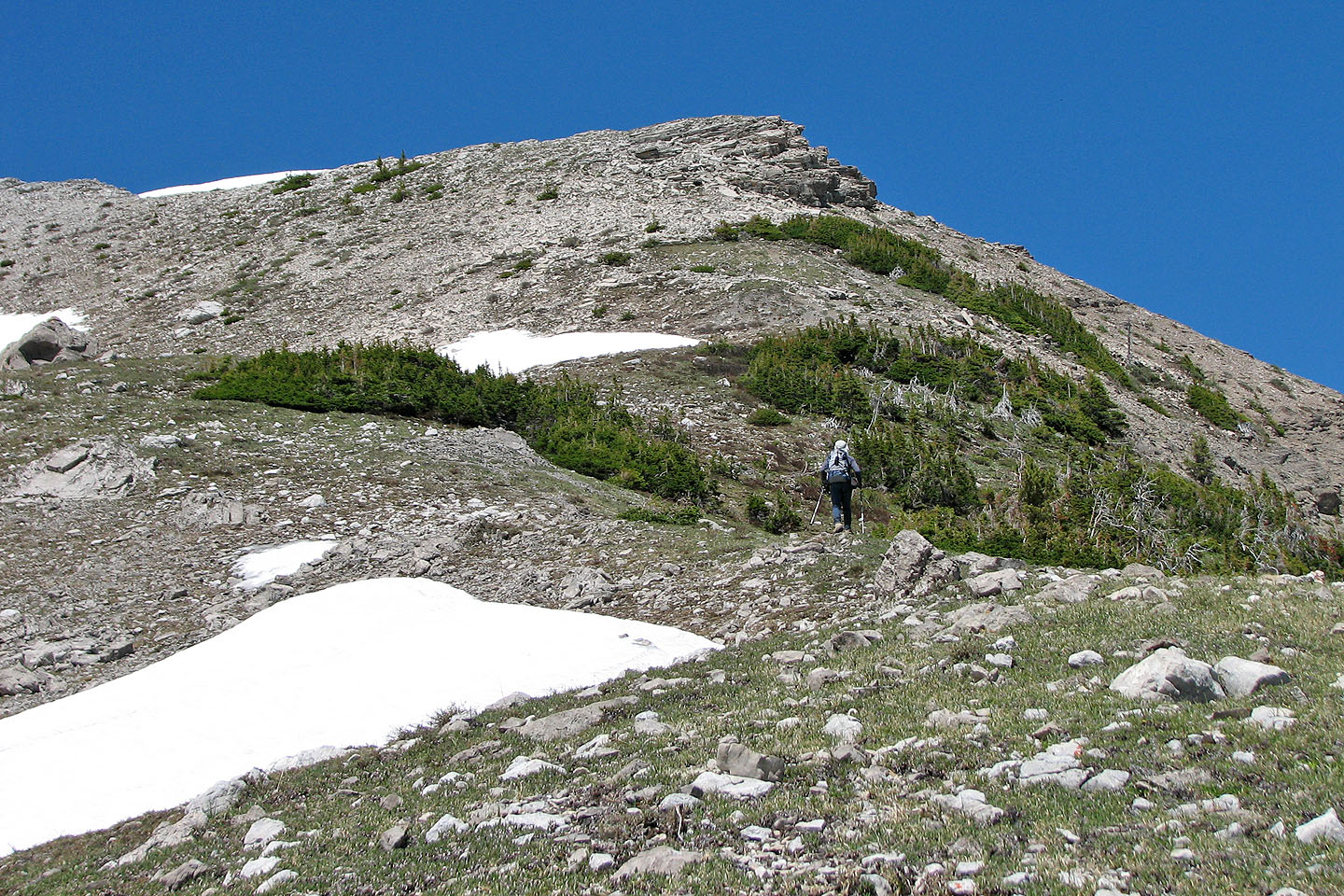
It's a steep climb. On the return we used a trail that runs high up.
Looking down the slope
Mount McLaren in the background
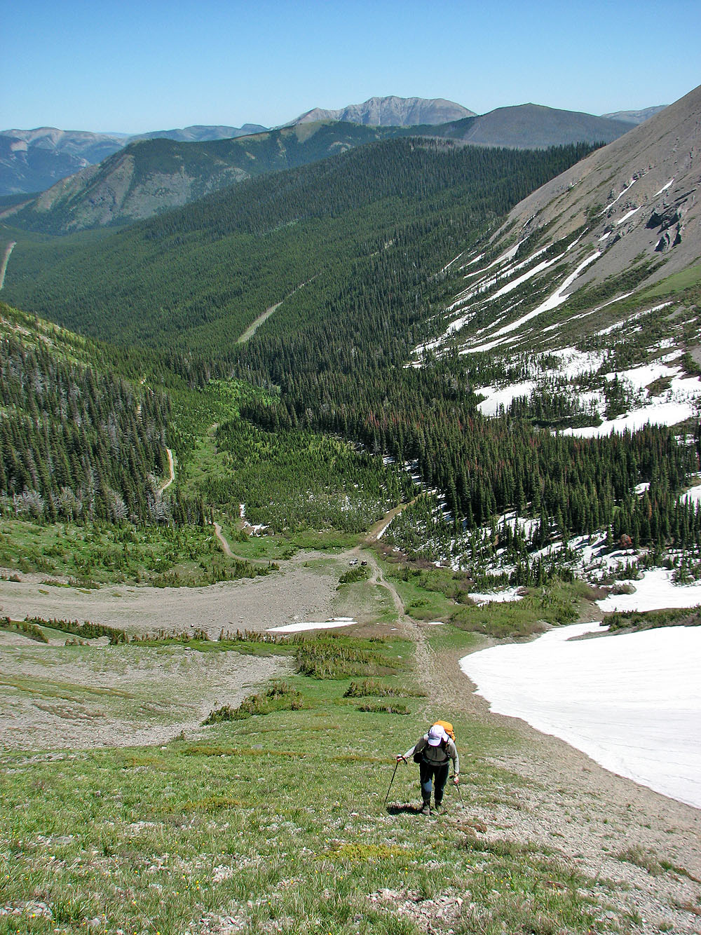
Below the cirque I found a trail and used it
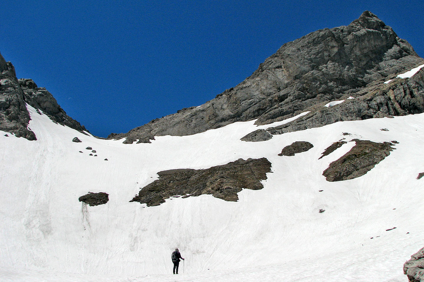
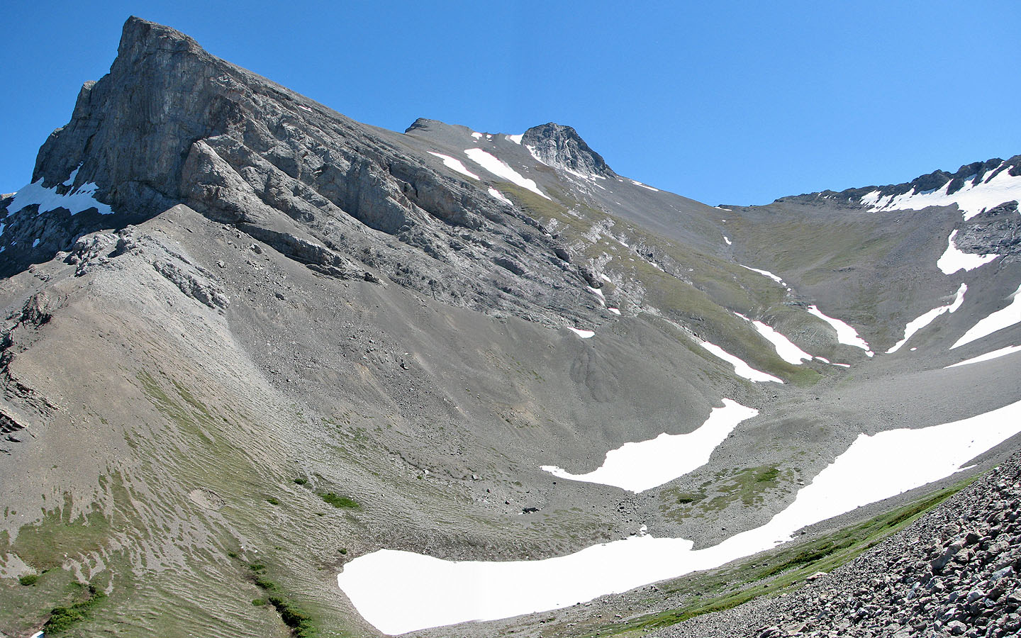
We reached the cirque below Mount Parrish, but snow stops us from ascending to the col
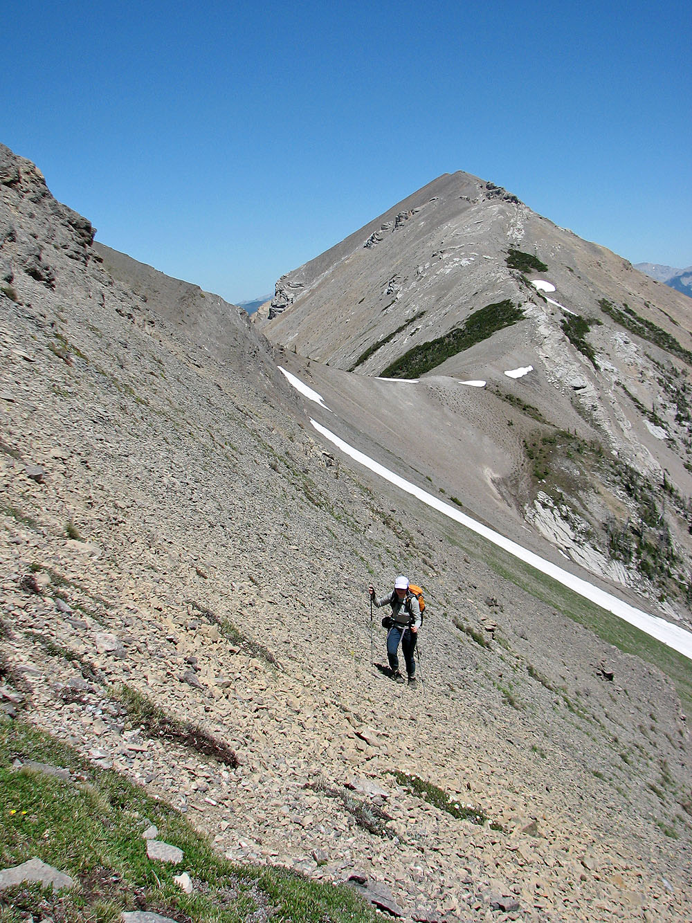
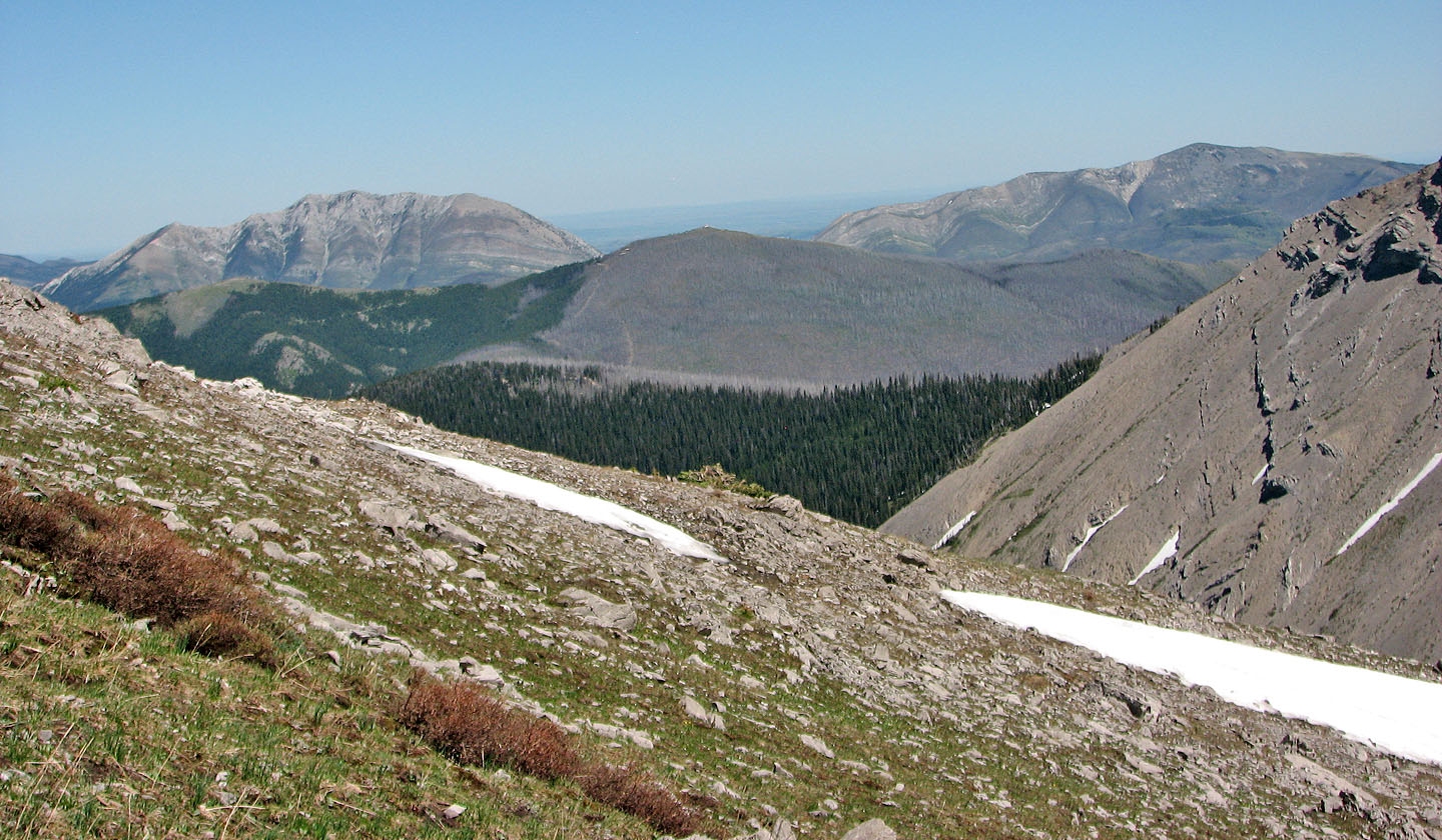
 We headed for the nub east of summit. Mouse over to look back toward Mount Coulthard.
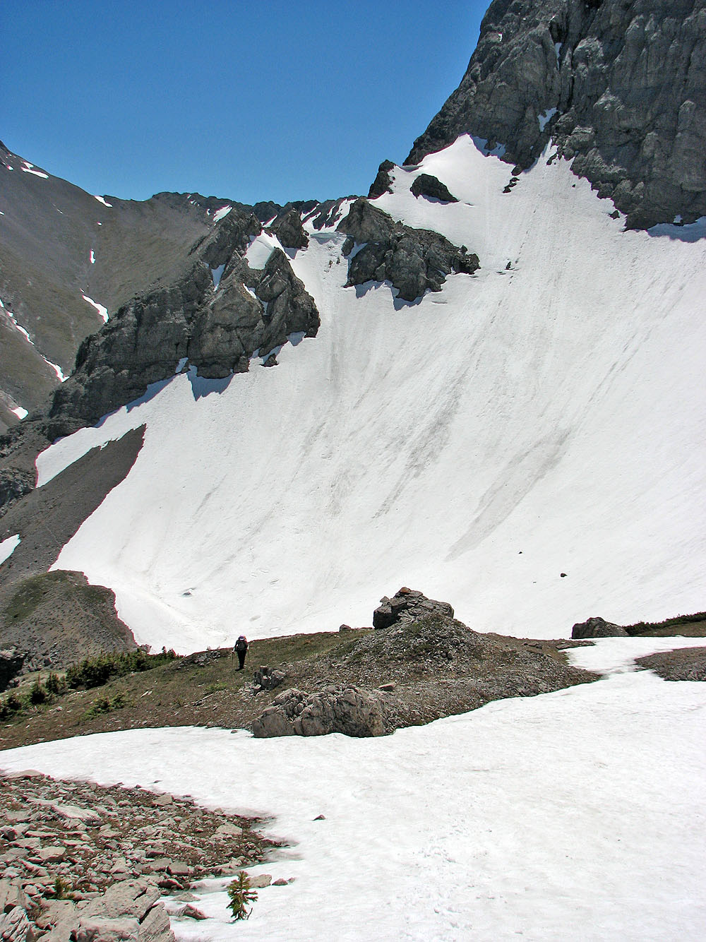
The slopes showed signs of recent snow slides
Looking at the col from the nub
Andy Good Peak
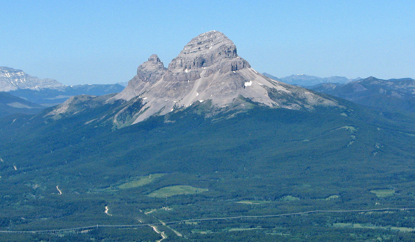
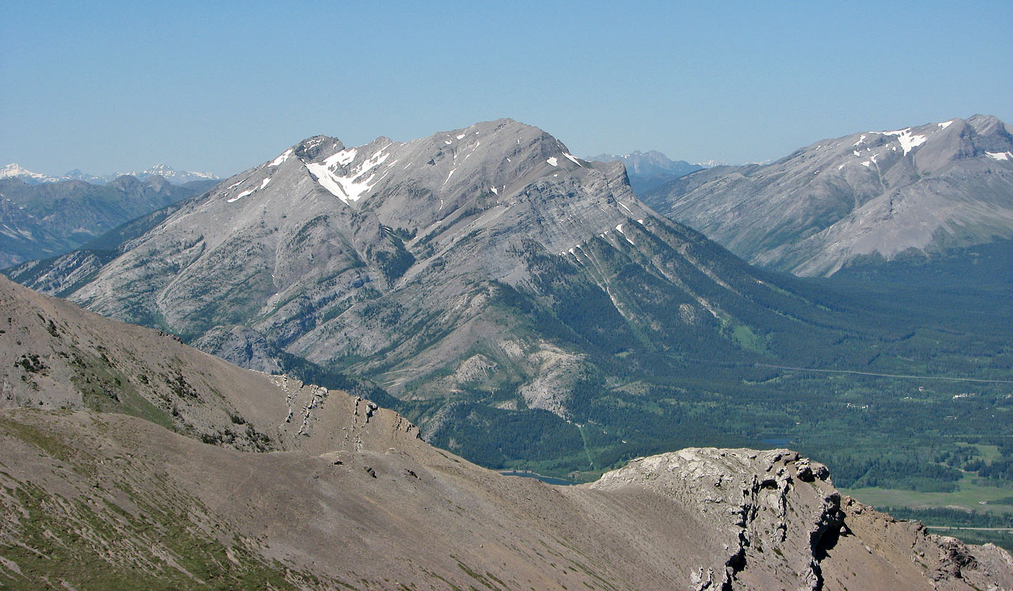
Turtle Mountain, Ironstone Lookout (mouse over for a close up) and Hillcrest Mountain
Heading down the trail from the cirque
Mount Parrish and the nub (right) that we climbed
The trail leads to the cirque below Mount Coulthard
Mount Coulthard and the cirque below it. The summit is hidden.
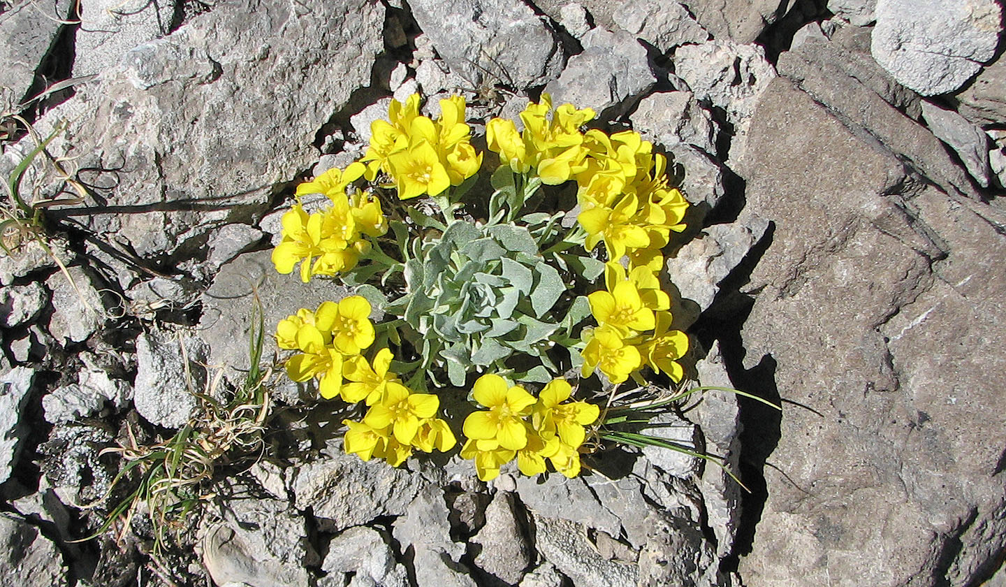
Bladderwort
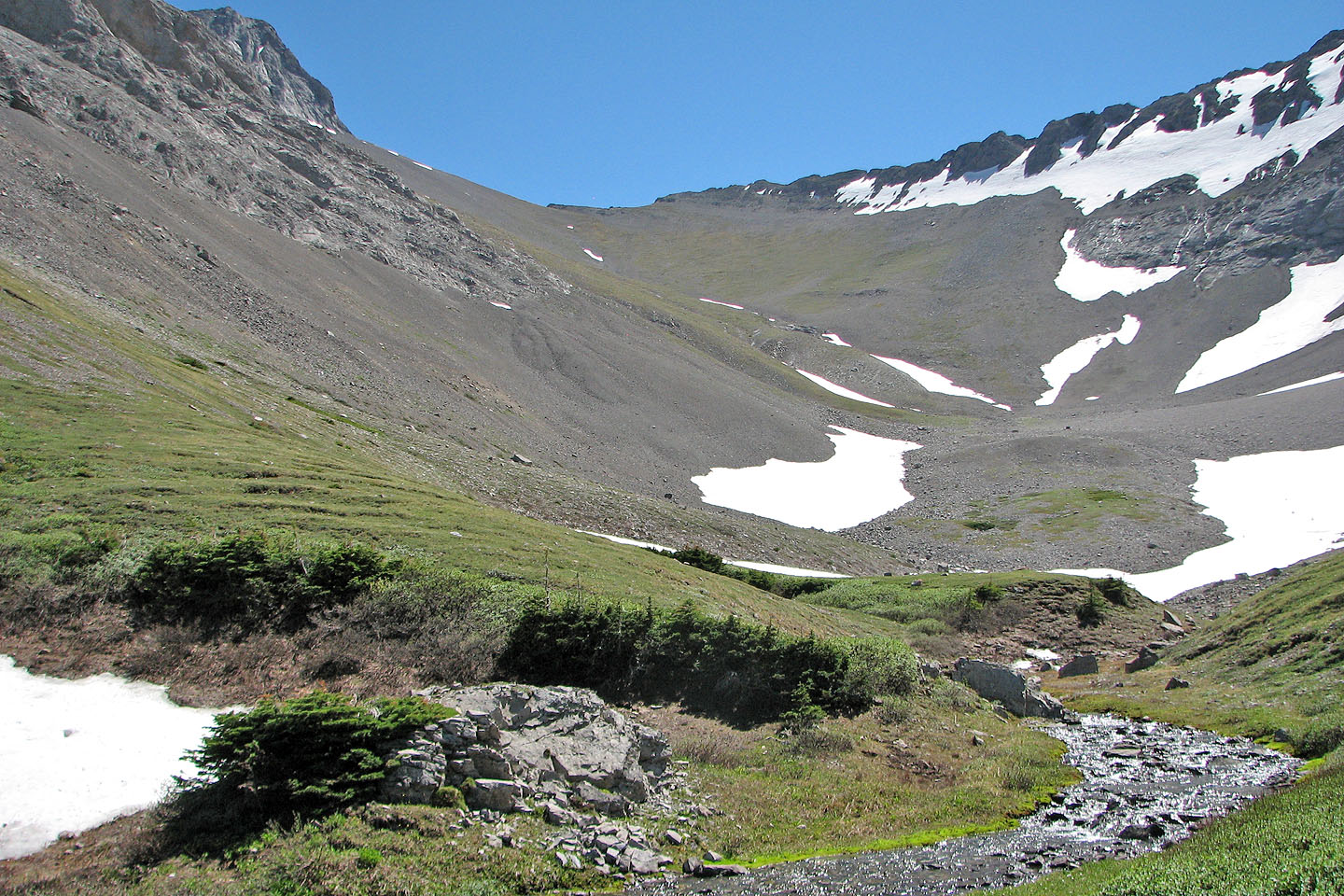
Coulthard cirque
Heading back to the road. Mount McLaren fills the view.
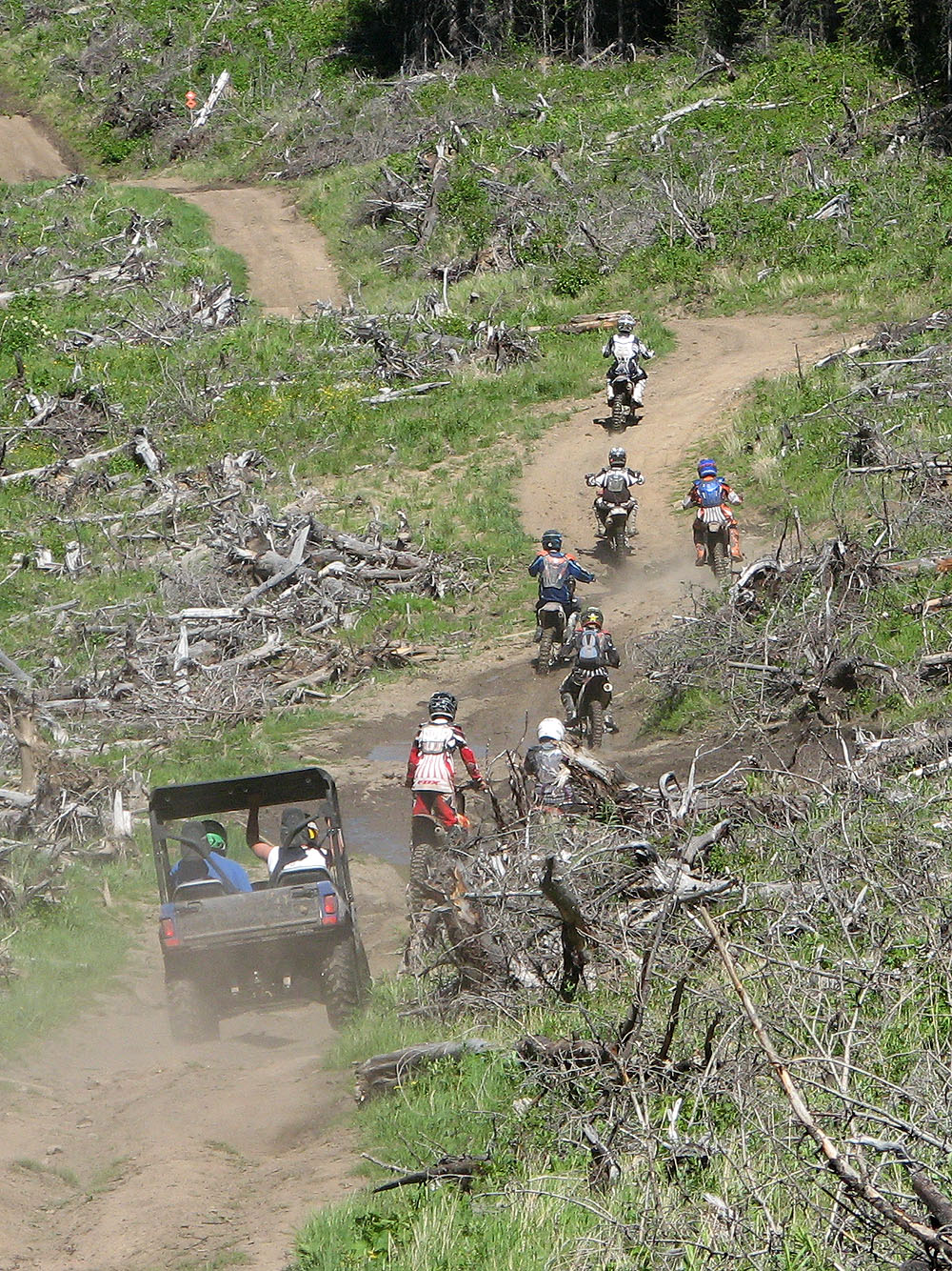
Offroaders roared by us
Then we have the road to ourselves ... for a while