bobspirko.ca | Home | Canada Trips | US Trips | Hiking | Snowshoeing | MAP | About
Mount Coulthard
Crowsnest Pass, Alberta
July 12, 2008
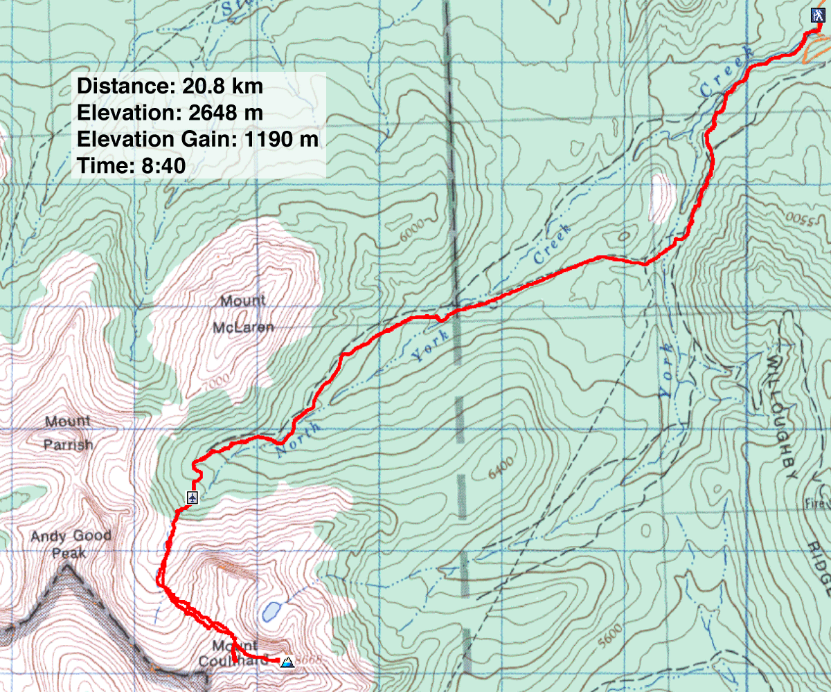
Distance: 20.8 km (12.9 mi)
Cumulative Elevation Gain: 1305 m (4281 ft)
Dinah and I returned to Crowsnest Pass this time to try Mount Coulthard. We had studied it on our Mount Parrish attempt and the ascent looked straightforward.
Looking at the map, Mount Coulthard reminded me of a three-spoke wheel. The ends of each spoke or ridge, as well as the hub or centre, bear a peak, four peaks in all. The summit is on the east ridge. After reaching the cirque below Mount Coulthard and Andy Good Peak, we planned to ascend the north ridge and traverse below the centre peak before making our way to the summit.
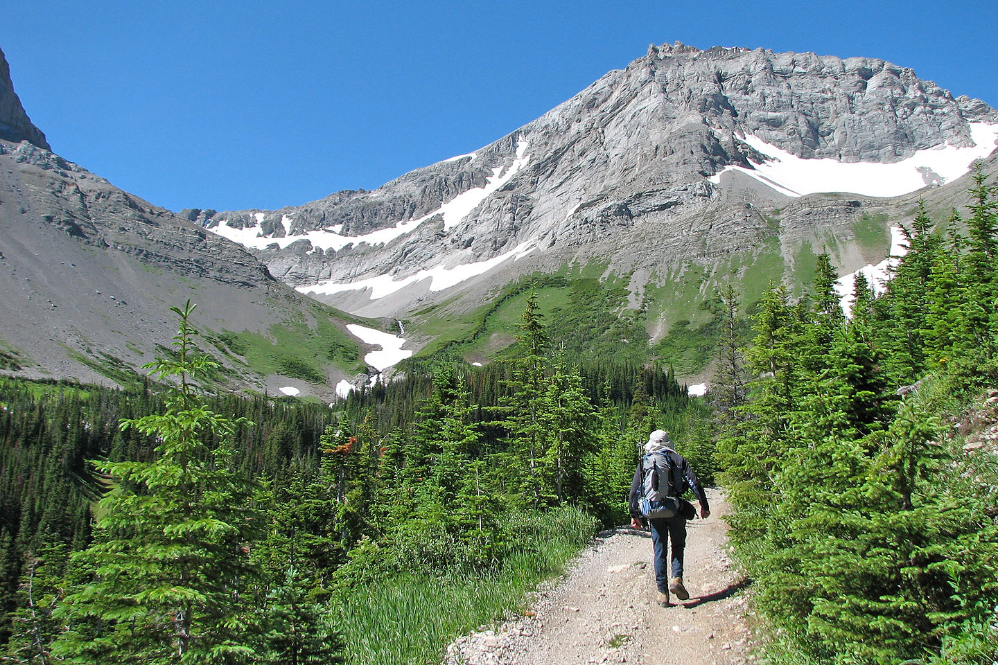
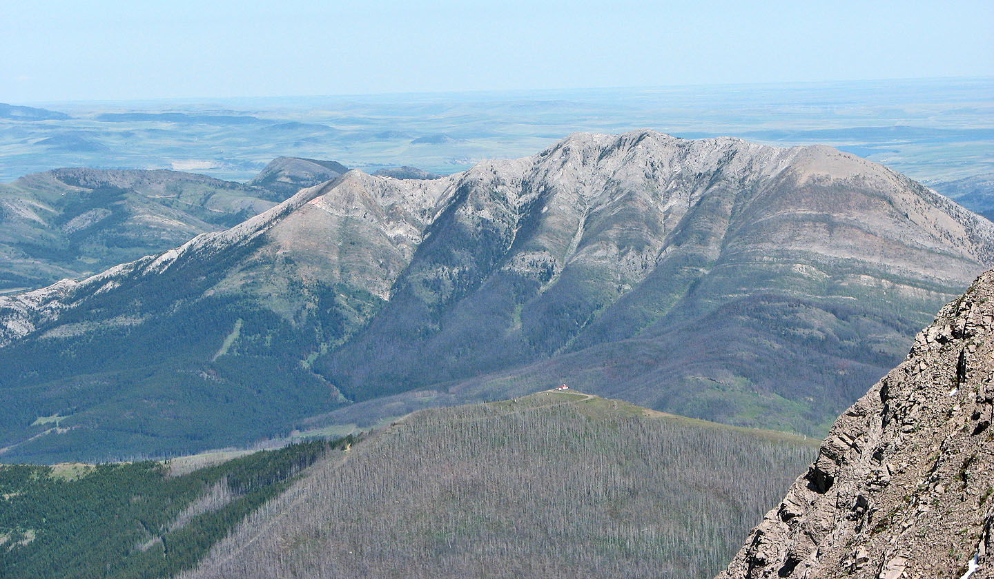
We drove to the York Creek/Plane Crash trailhead and started hiking up the road. 15 minutes after starting, we reached a fork in the road. In the past we've taken the right fork (plane crash site), but we've since learned that the left fork (York Creek) is better. At the next two junctions, we kept right. This route provides excellent views of Mount Coulthard, Andy Good Peak, Mount Parrish and Mount McLaren.
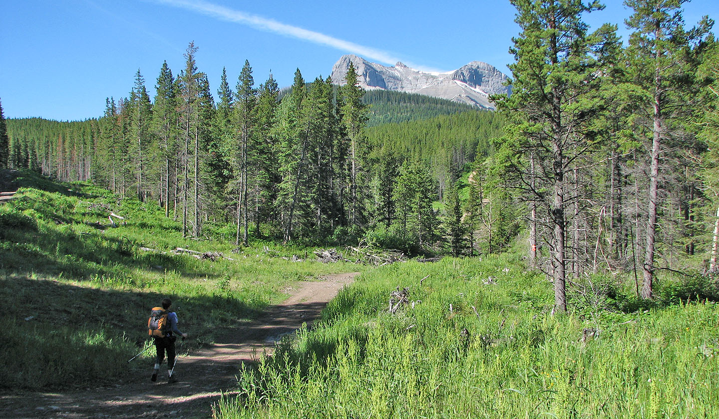
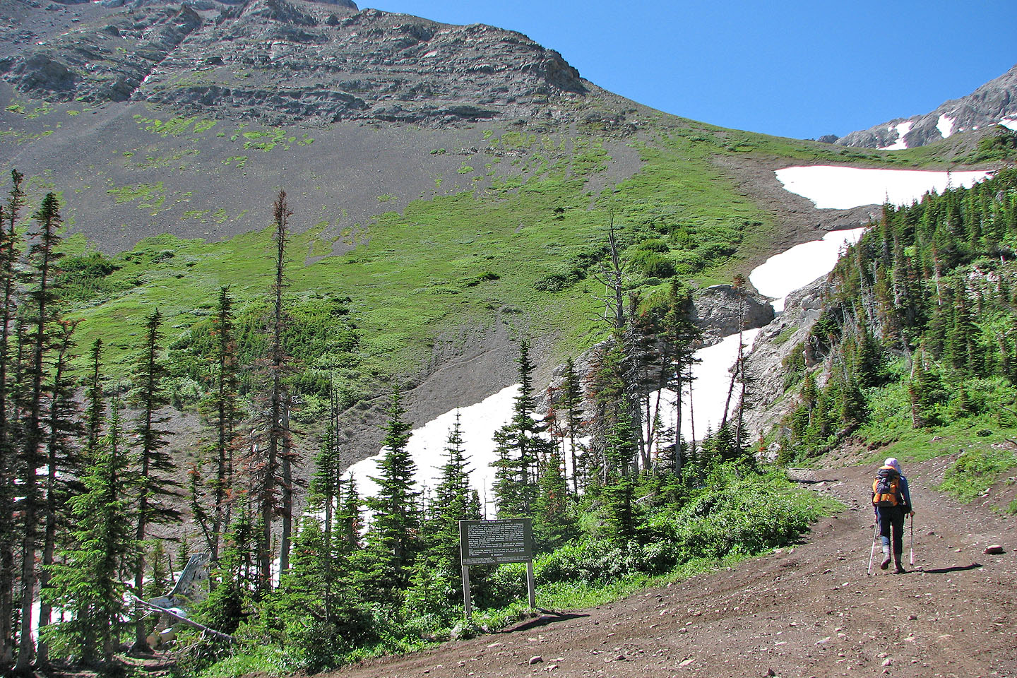
Almost five kilometres from the start, the left fork rejoins the right fork. We continued up the road to the plane crash site, 7.7 km from the start. Past the site, a steep, muddy trail leads to the cirque. Leaving the trail, we headed toward the middle of the cirque before going left, up a grassy slope.
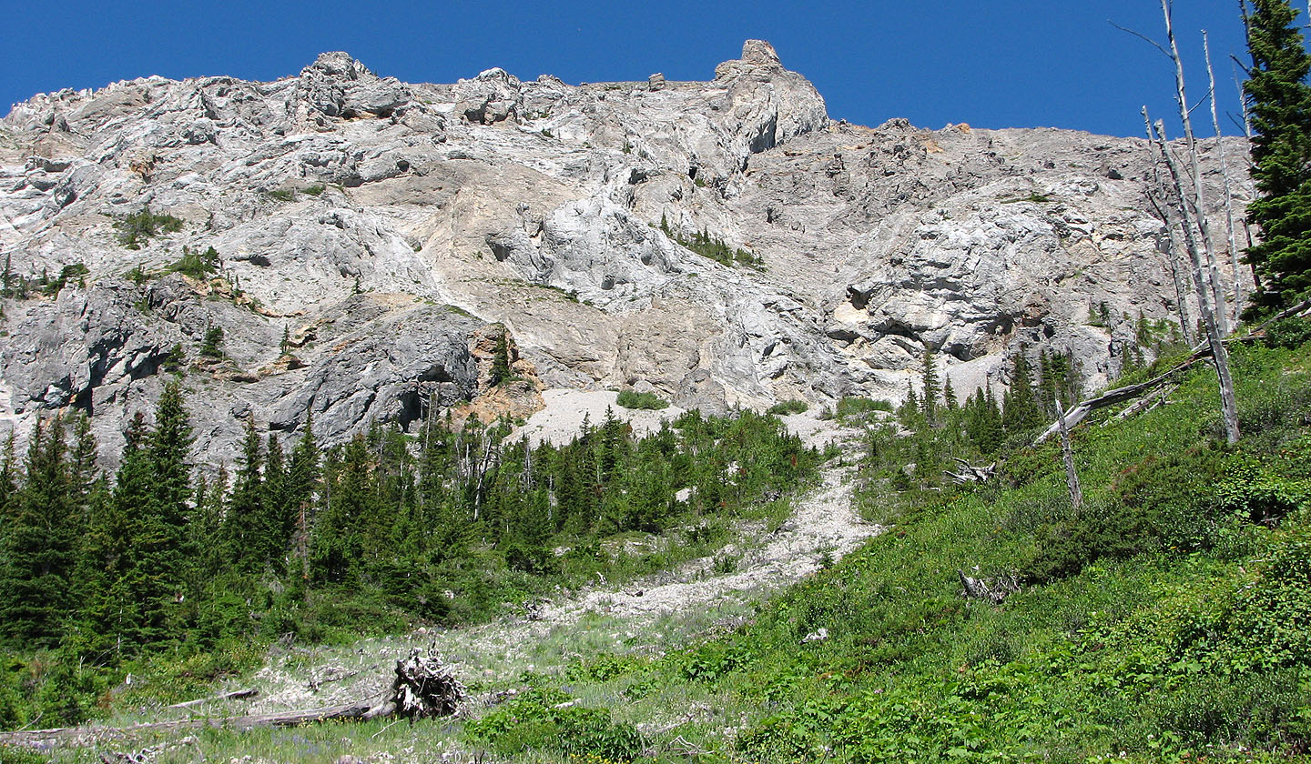
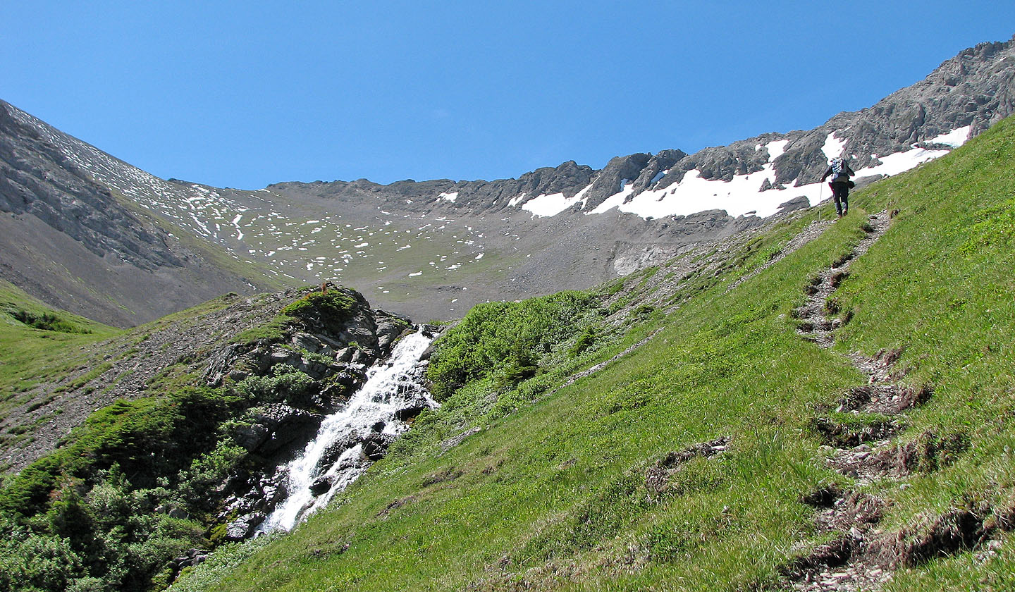
It's a steep, unrelenting, 400-metre grind to the north ridge above. The alpine vegetation gave way to miserable scree as we slogged to the ridge. (This scree, however, provides a quick descent.) From the north ridge, we followed a goat track to traverse below the centre peak to the east ridge.
After walking over a few small humps, we reached the summit. Dinah found a summit register bearing the Alpine Club of Canada sticker. The register was soggy, but we could see the last entry was a year ago.
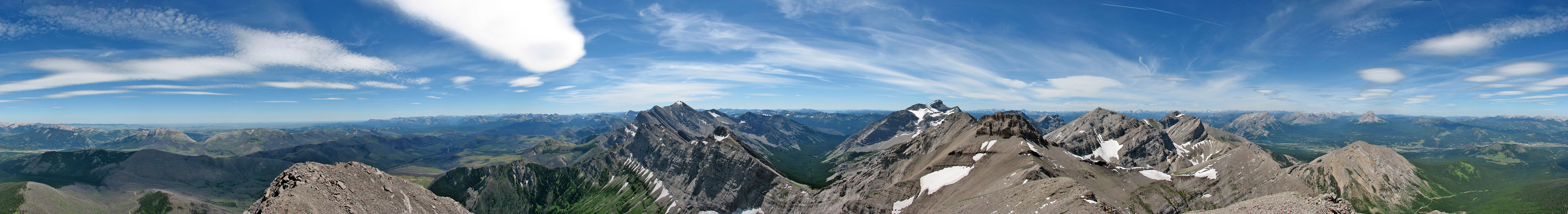
From the summit we had close views of Mount Ptolemy, Andy Good Peak and Mount Parrish. Our ascent took only 4.5 hours, and with a half-hour stay on top, we had time to spare. We decided to ascend the centre peak.
After returning to the north ridge, we slogged up more scree to reach the centre peak, which was only a couple of metres lower than the true summit. (Incidentally, all four peaks have cairns.) Here we had better views of Mount Ptolemy and Andy Good Peak. After a brief stay, we dropped back down to the north ridge; the effort took 40 minutes.
Mount Coulthard is so easily attained it's a wonder it's not documented somewhere. It's probably the highest non-technical ascent that one can do in Crowsnest Pass and provides views not seen from any of the Kane scrambles.
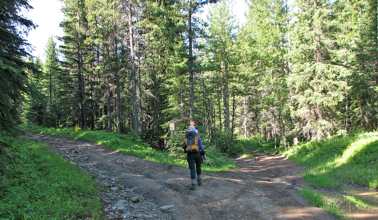
15 minutes after starting, we took the left fork
Mount Coulthard from the road. Summit is on the left (mouse over for a close-up).
The east slope of Mount McLaren presents interesting scrambling opportunities
Heading to the cirque on the left
From the plane crash site, we followed a trail that goes right
We left the trail when we reached the cirque
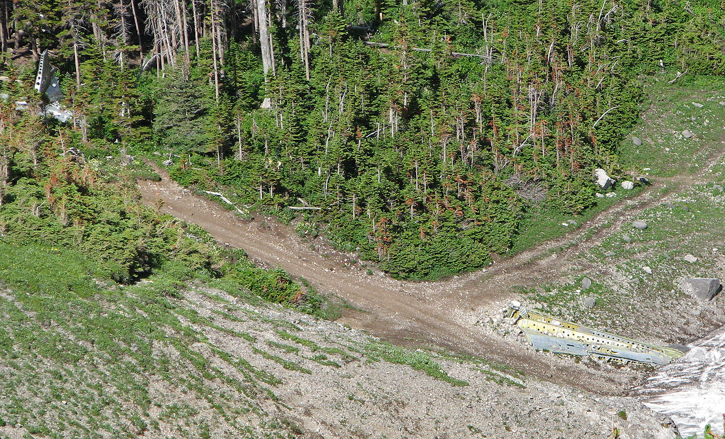
The tail and the wing of the crashed plane (mouse over to see an RCAF Dakota)
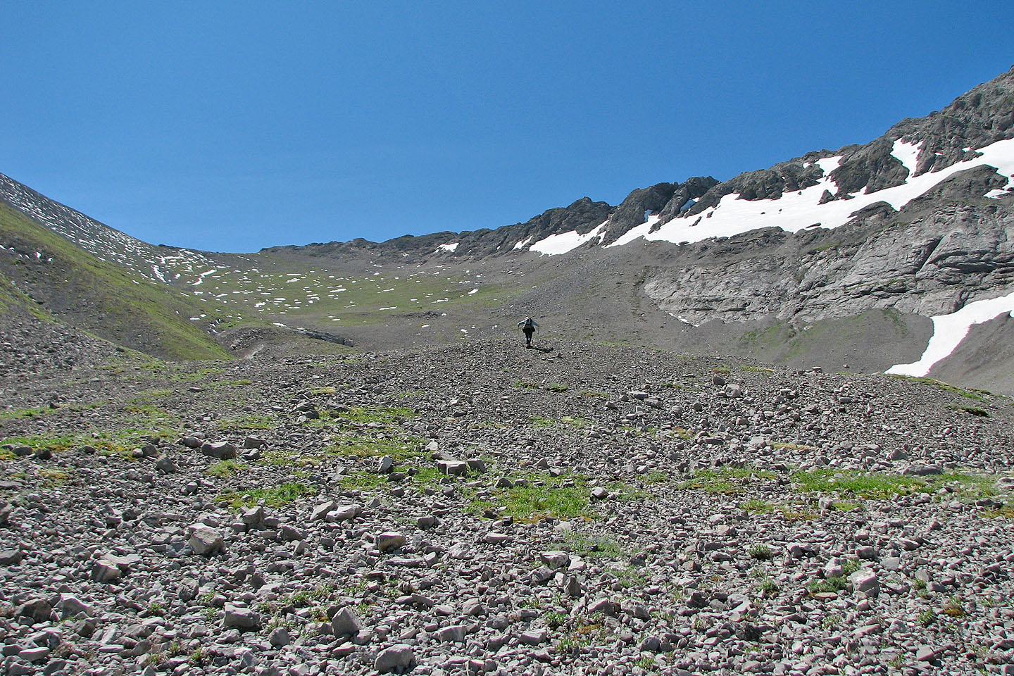
We hiked to the middle of the cirque before going up the grassy slope on the left
Looking back at Mount McLaren
Another view of the grassy slope. The centre and west peaks above.
Crowsnest Mountain and Mount McLaren
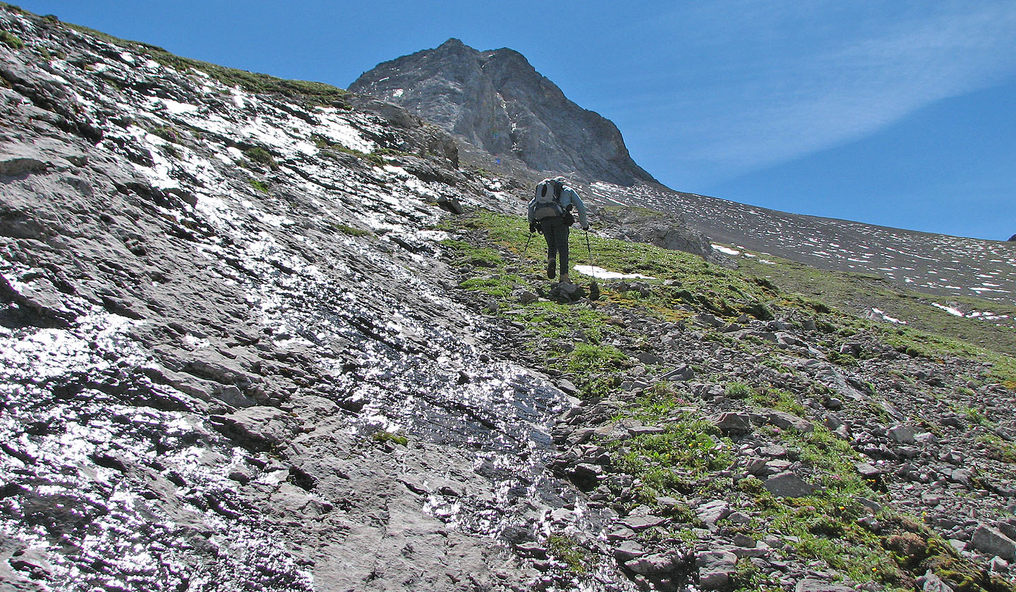
We encountered a wet rock band
Later we realized if we had kept left, we would have avoided the rock band
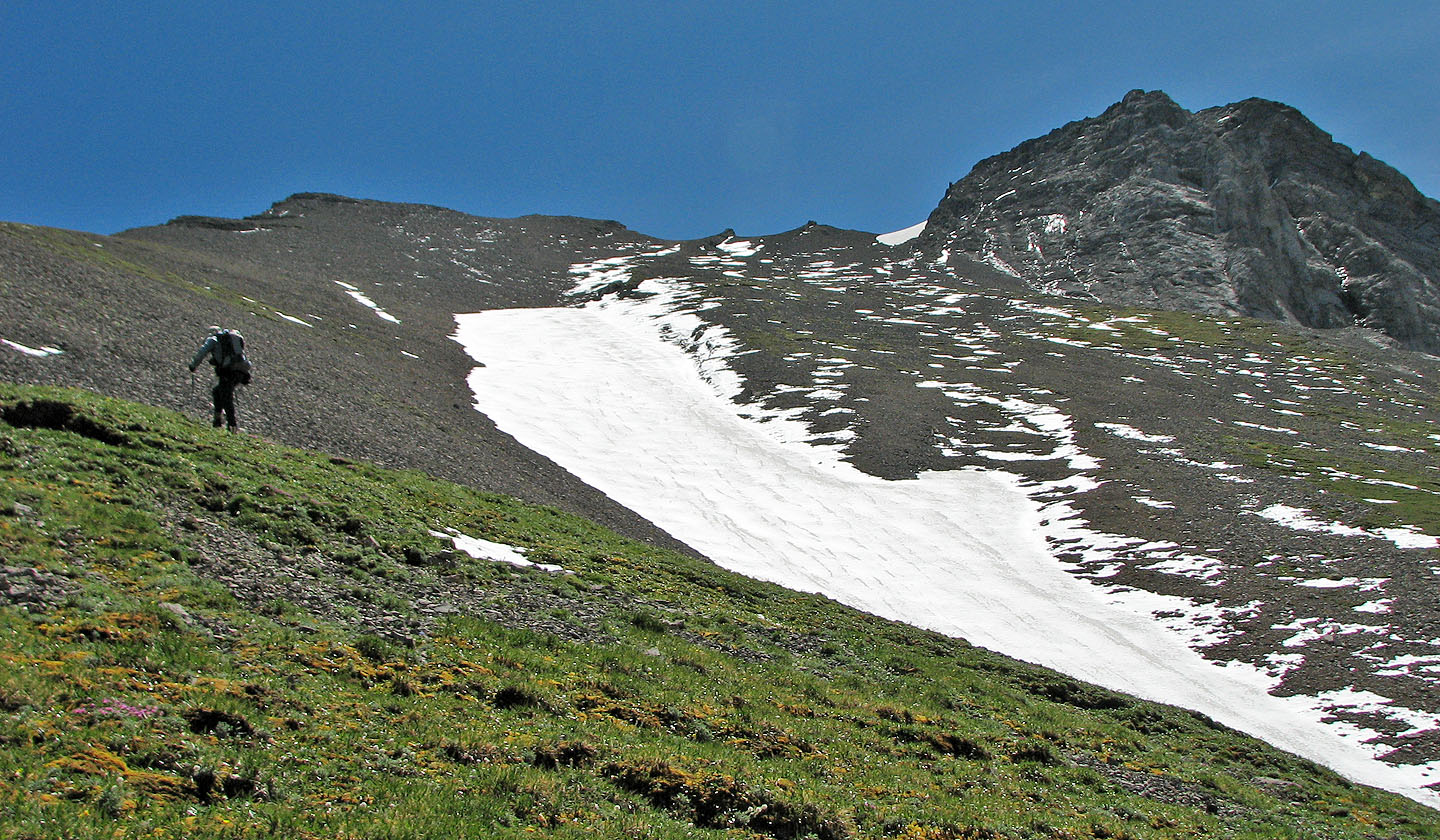
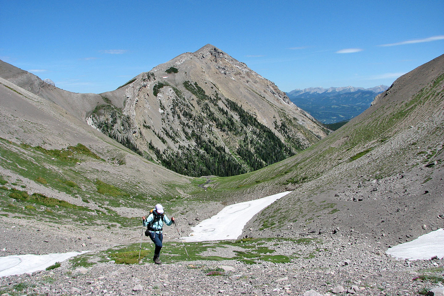
For a long time all we could see were the centre and west peaks
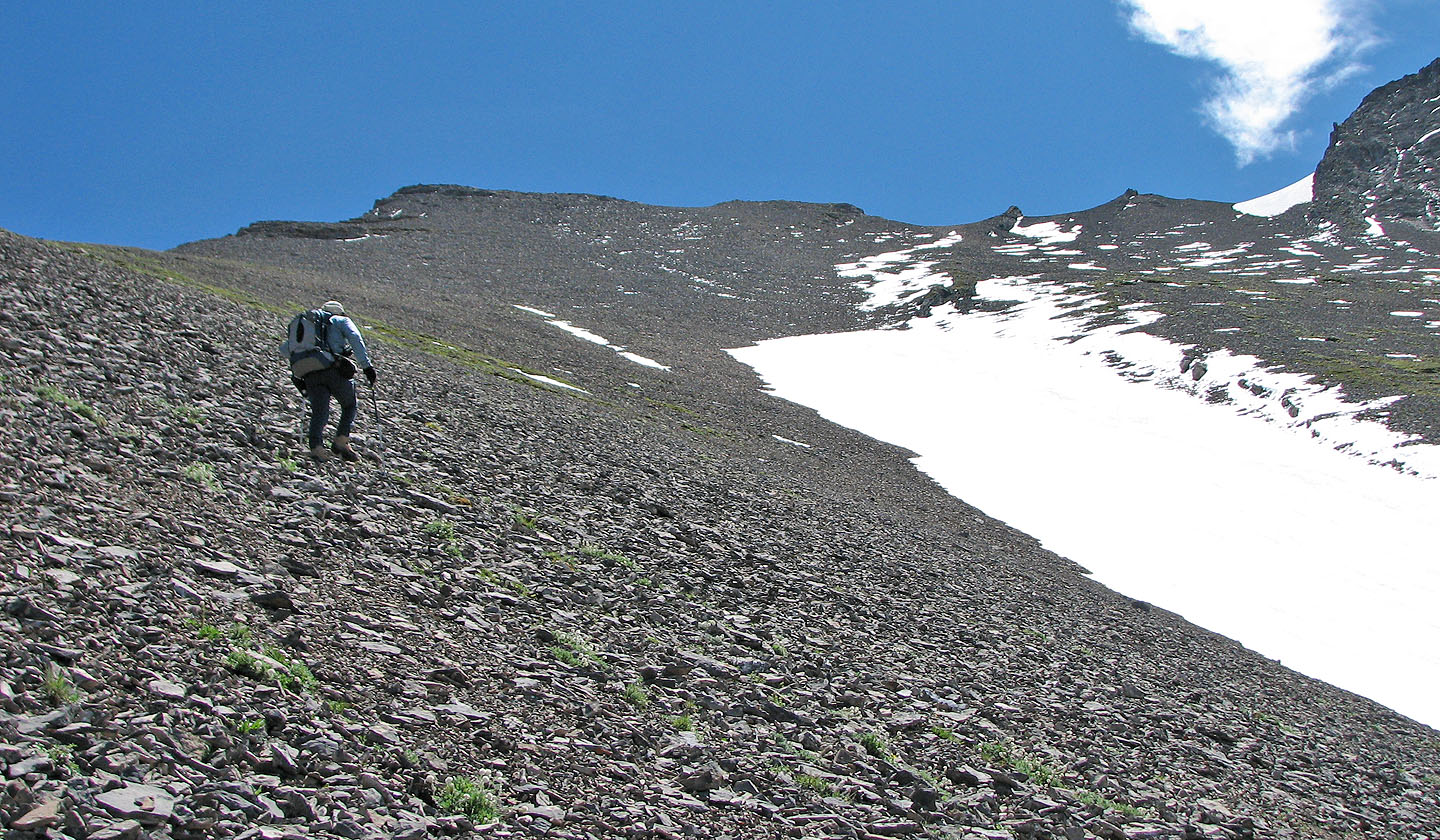
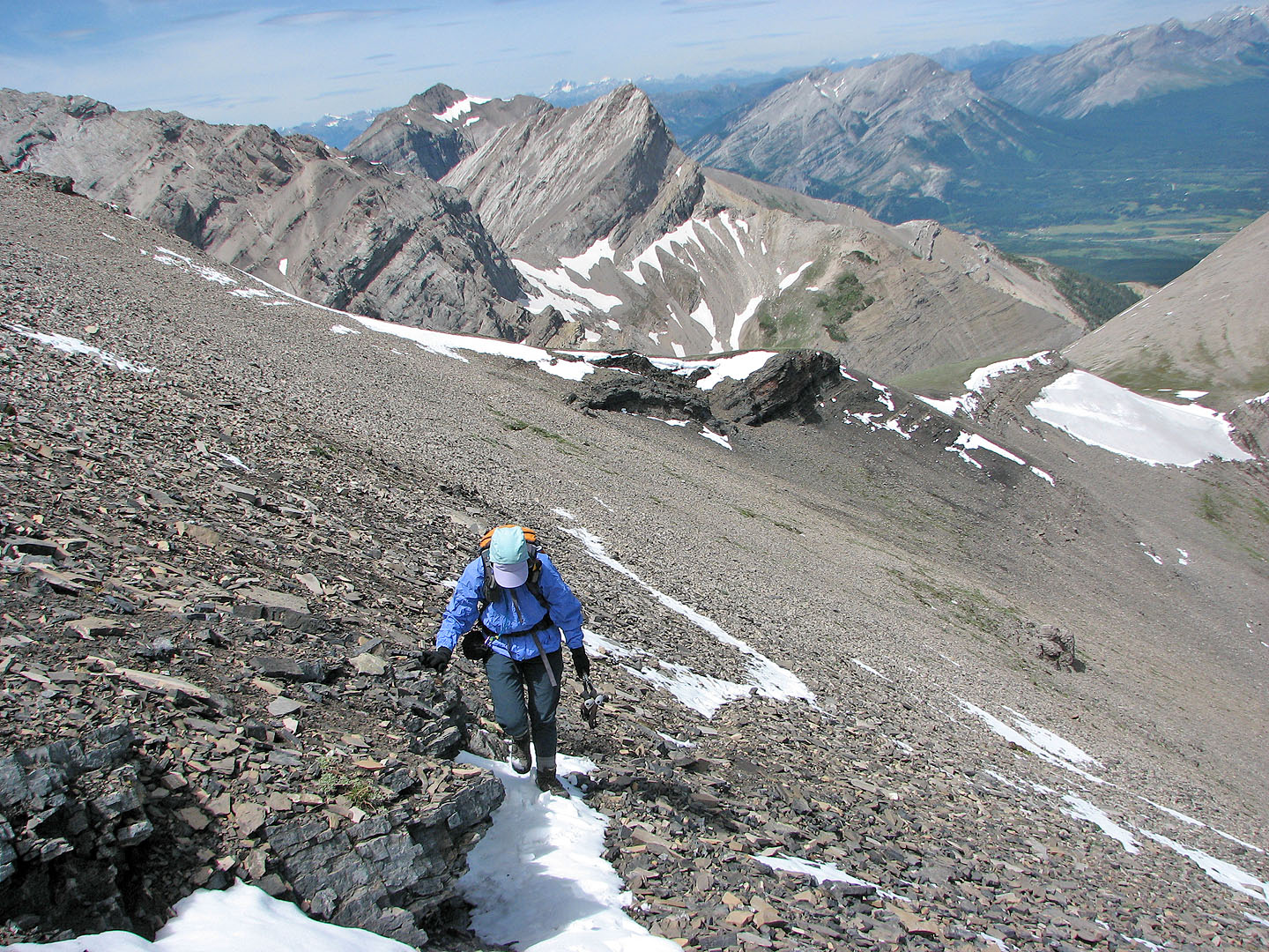
We continued plodding up but now on endless scree
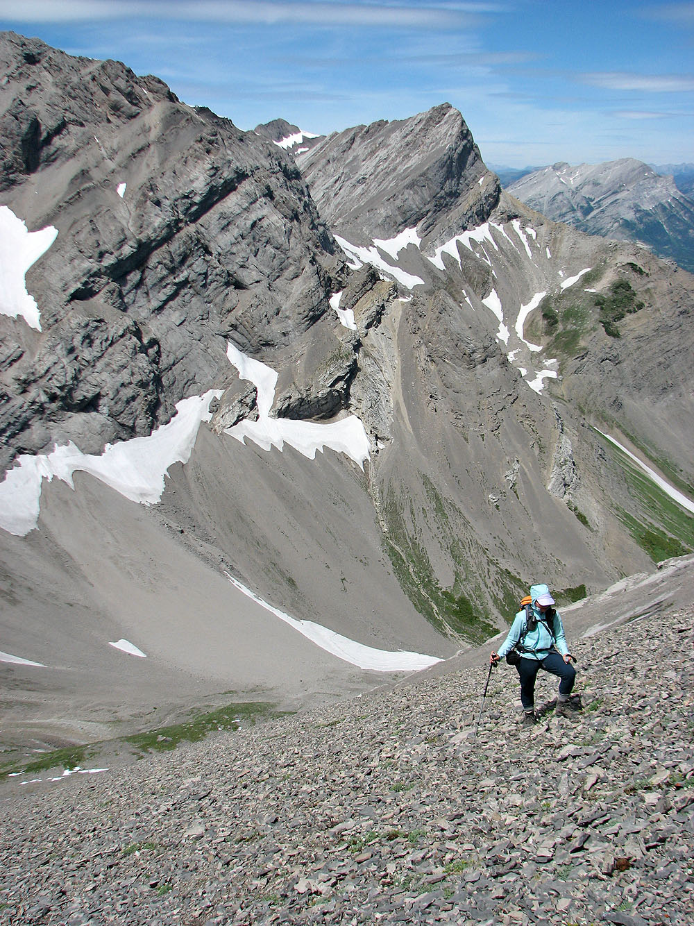
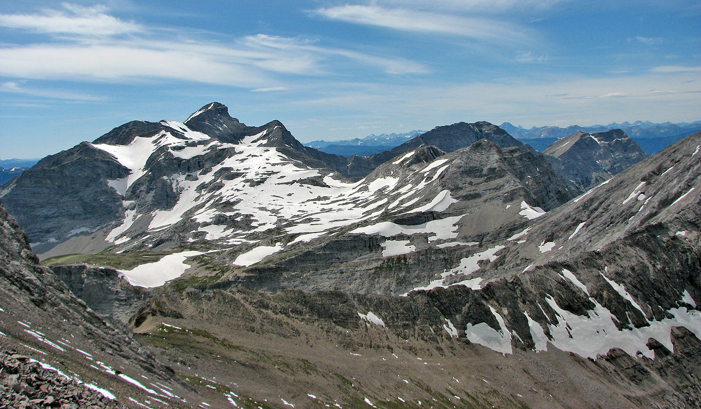
Mount Parrish centre right
We finally reached the crest of the north ridge
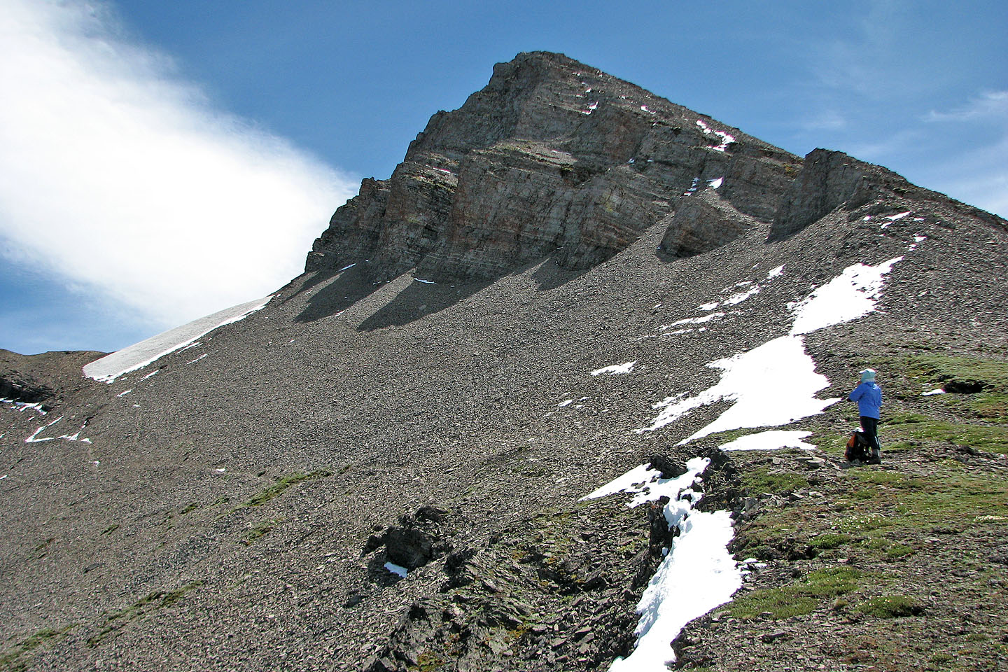
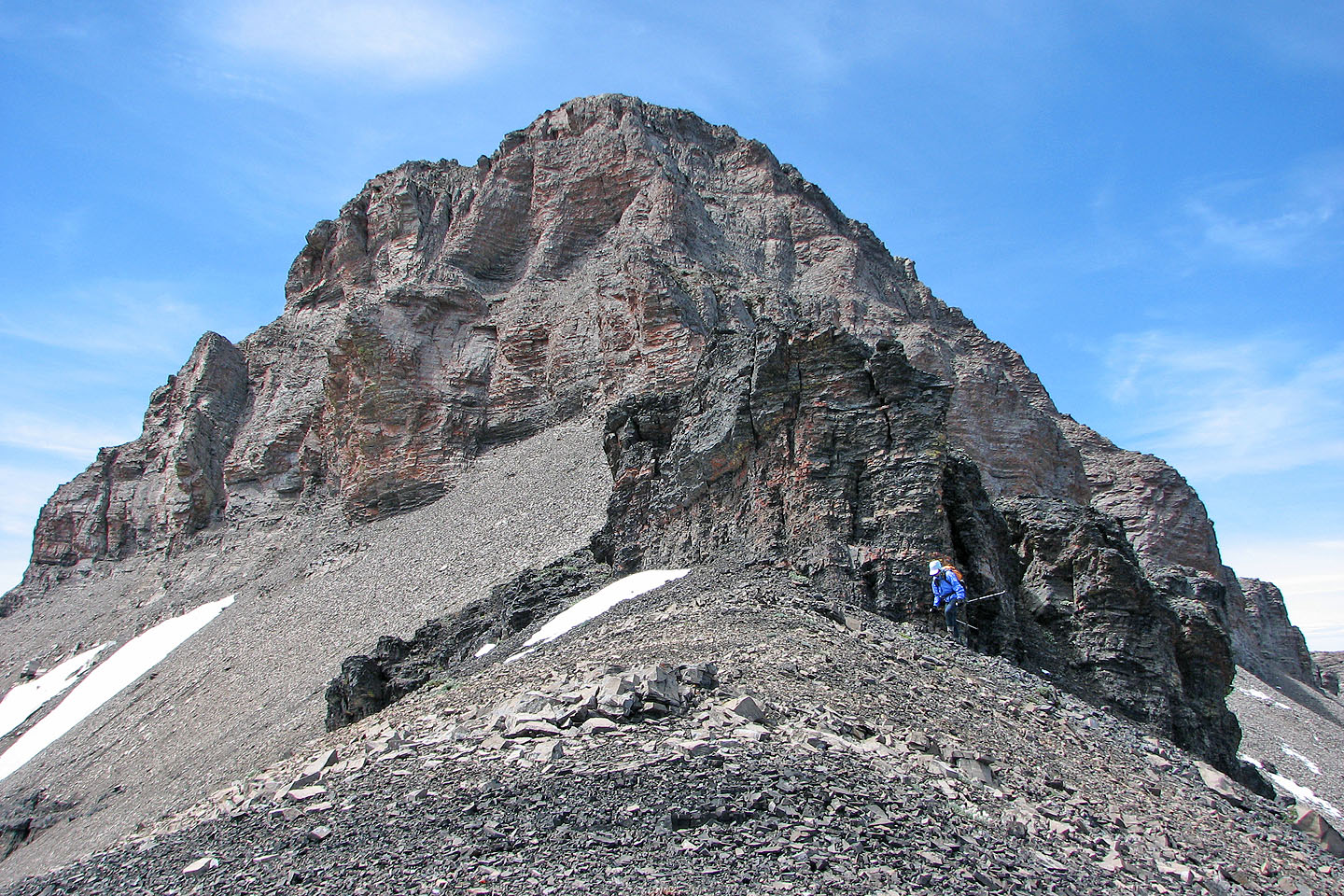
The summit sits at the end of the east ridge
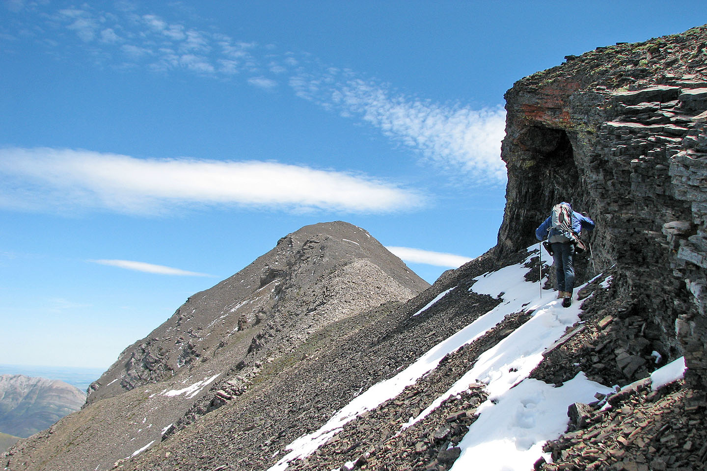
I expected to side-slope on scree, but a nice goat track runs under the Centre Peak
to the east ridge
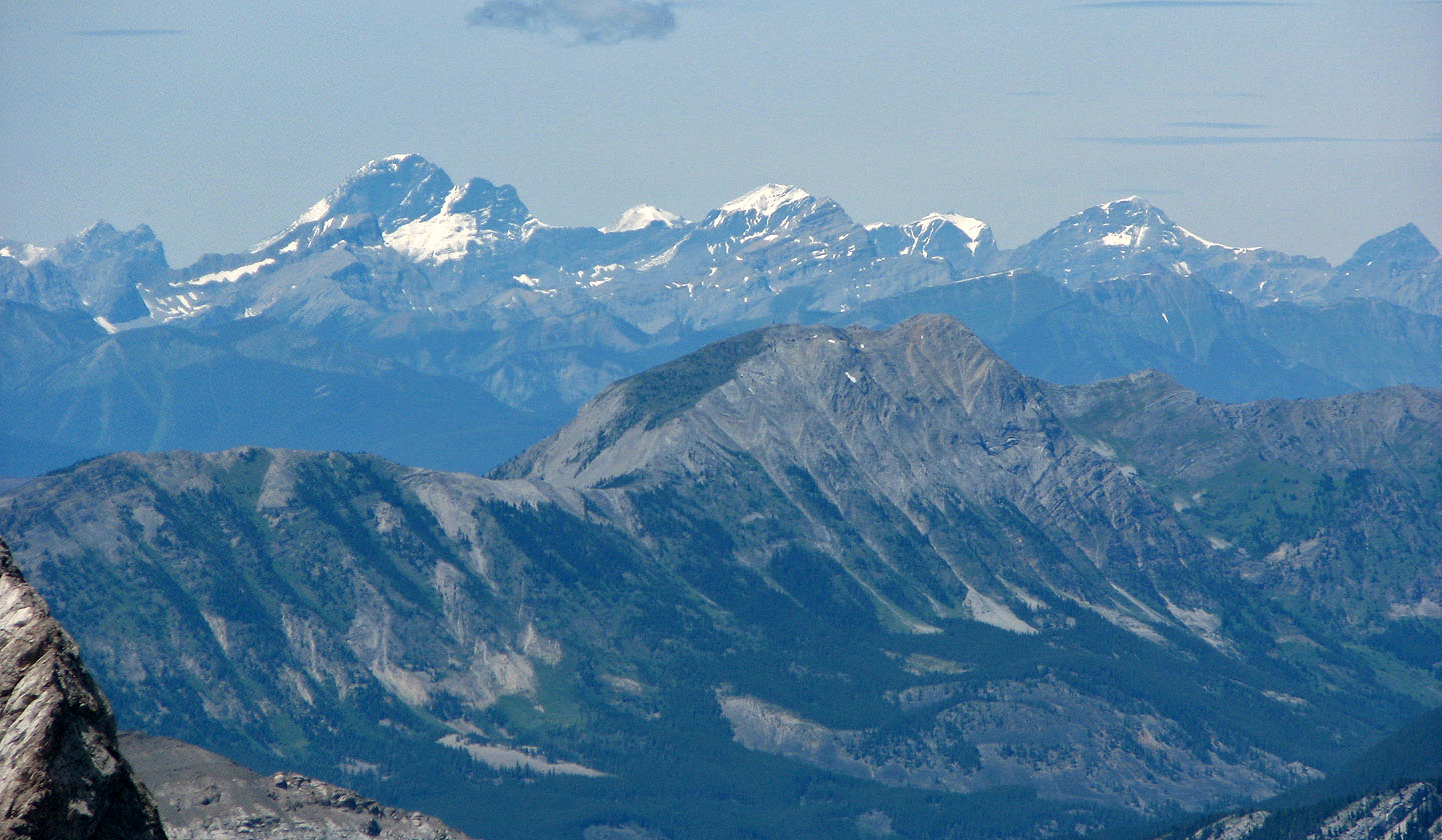
Turtle Mountain overshadows Ironstone Lookout
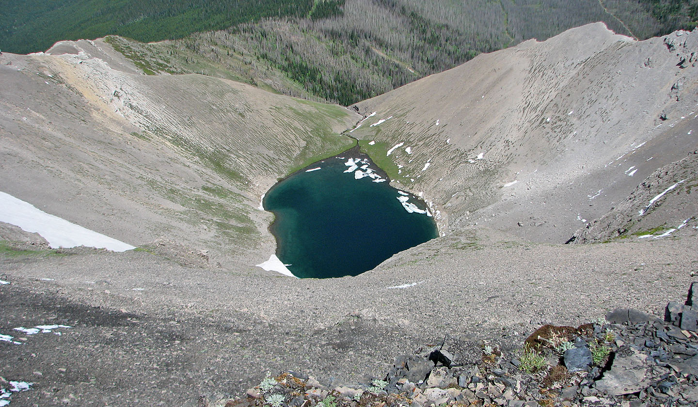
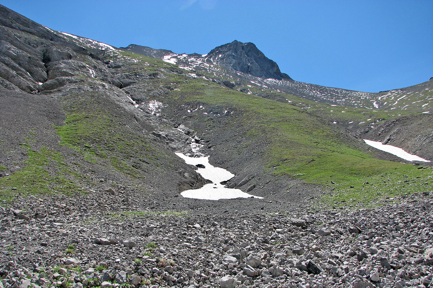
Tarn below the summit
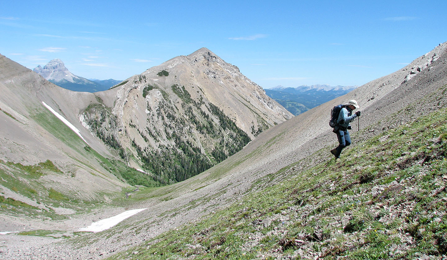
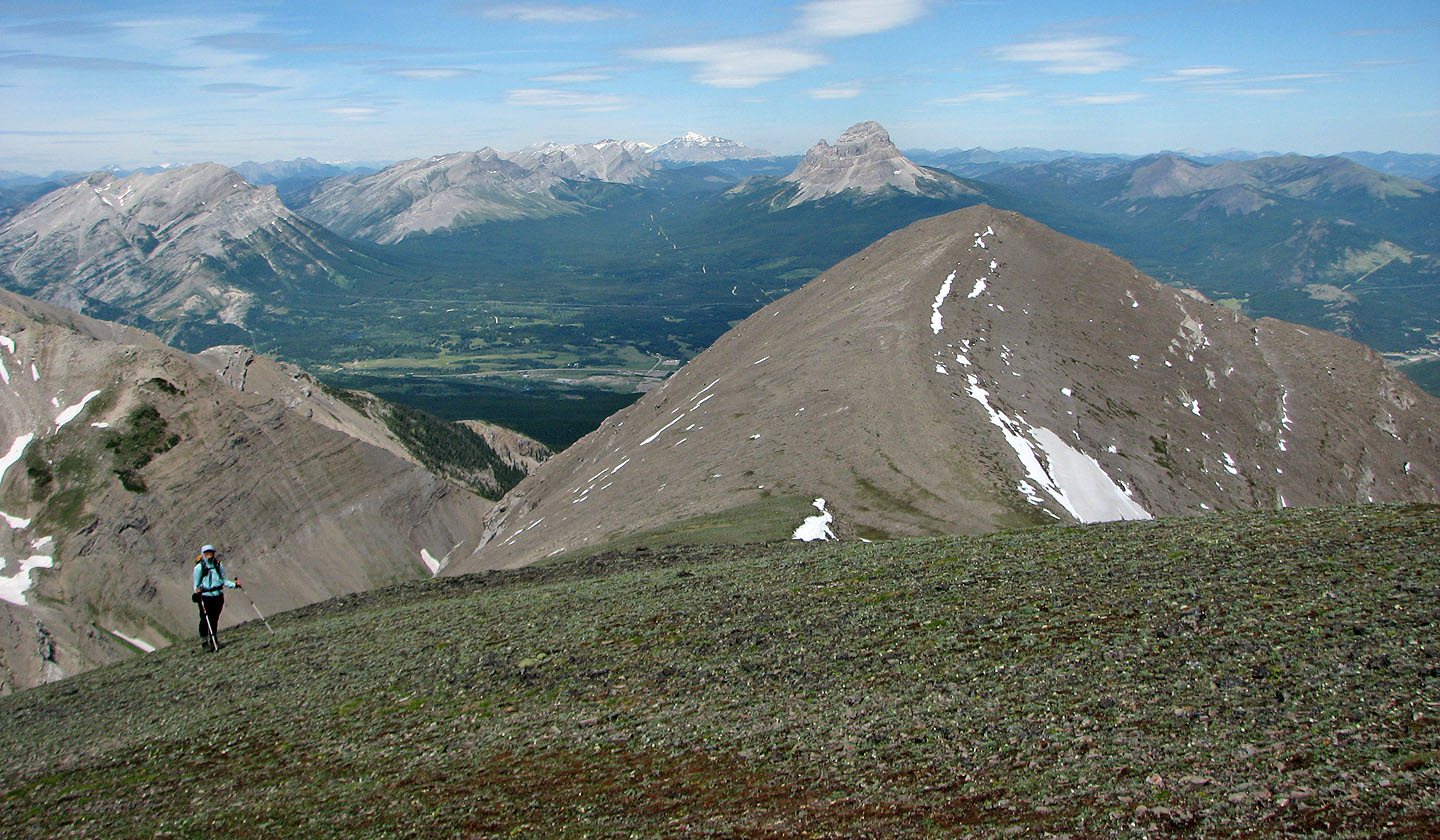
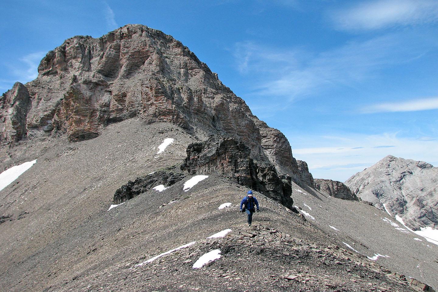
Looking back along the north ridge
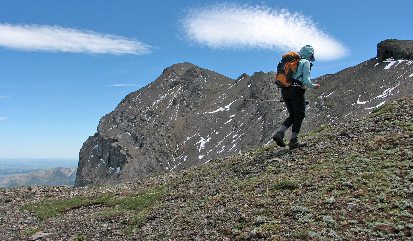
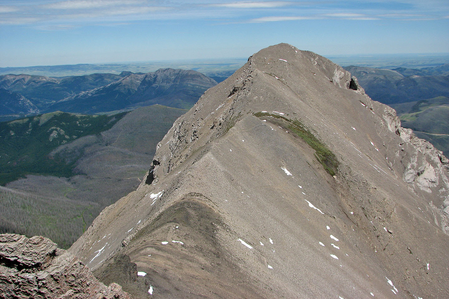
It's a walk to the summit from here
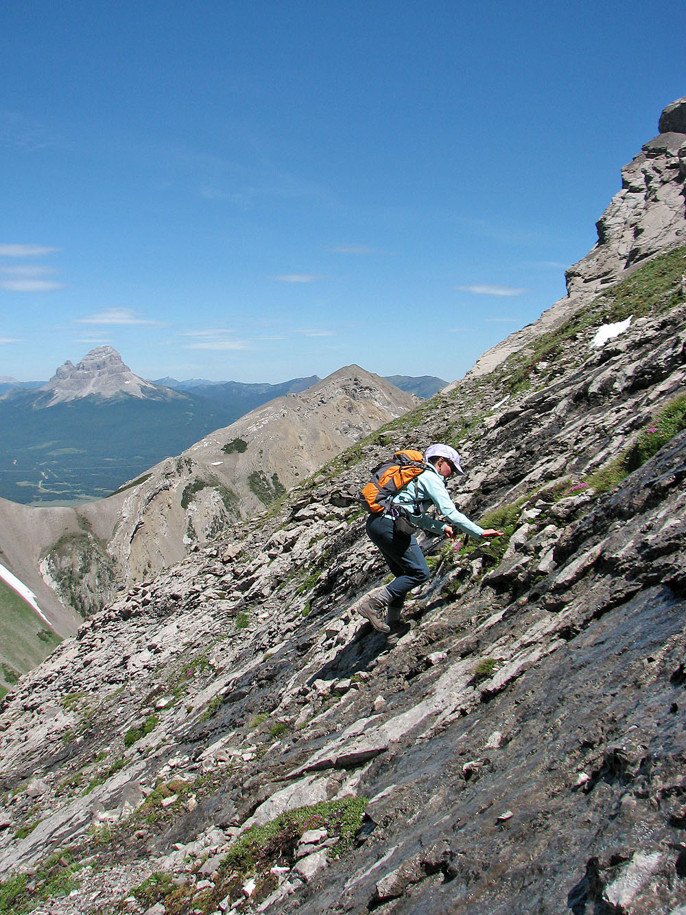
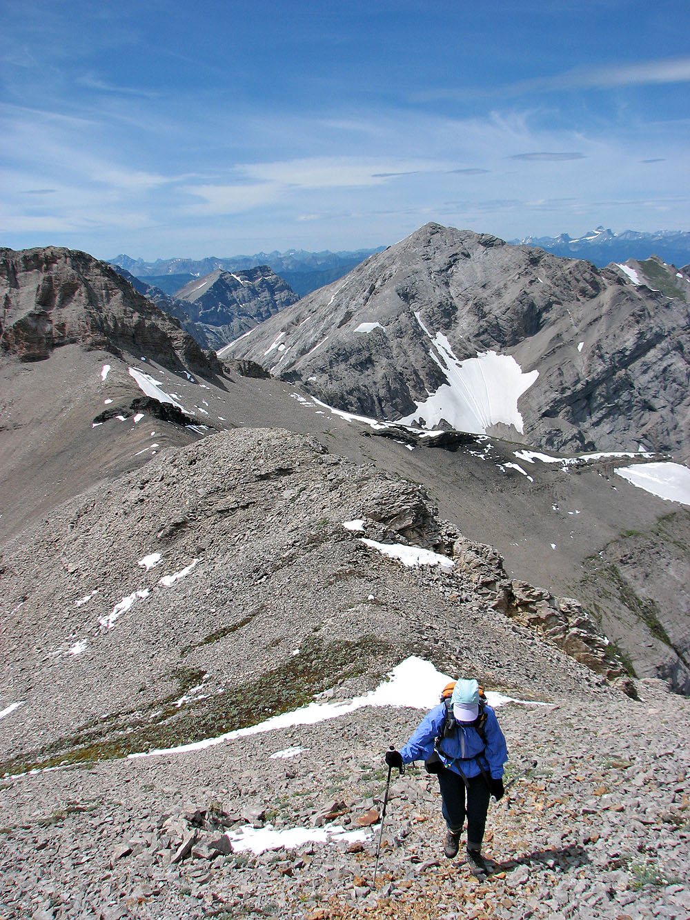
Dinah reaches the east ridge
The Centre Peak sets the background as we headed to the summit
Looking back from the summit
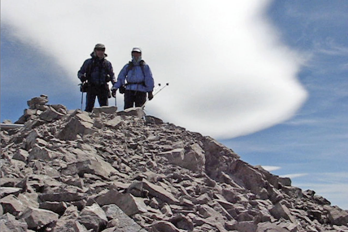 On the summit
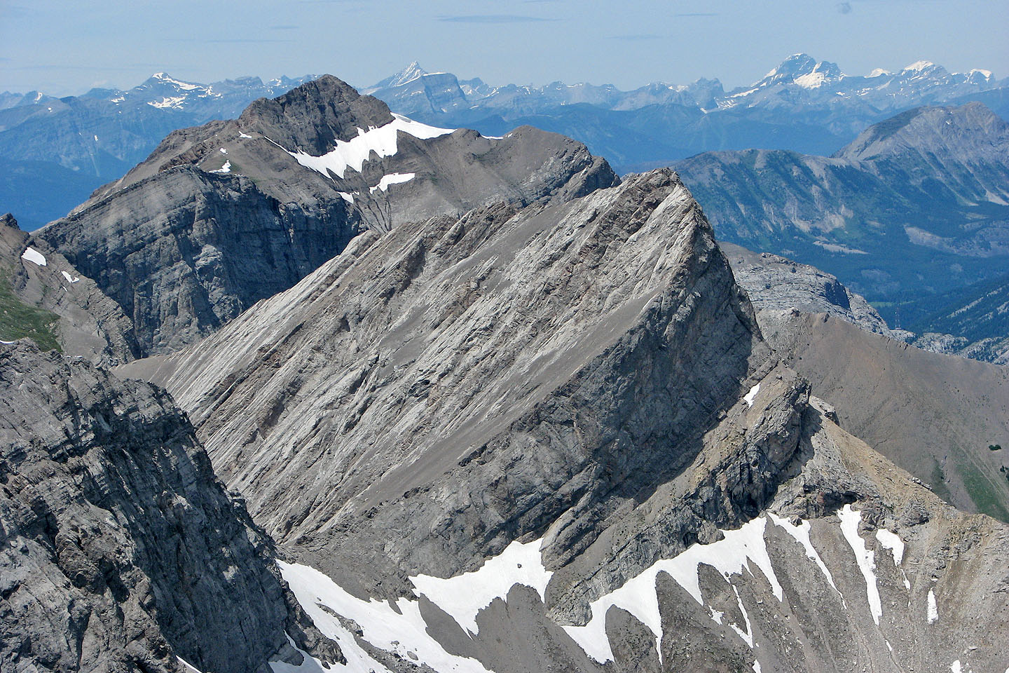
Chinook Peak and Mount Parrish. From here, Parrish looks like a difficult, exposed scramble.
Mount Erickson in the foreground
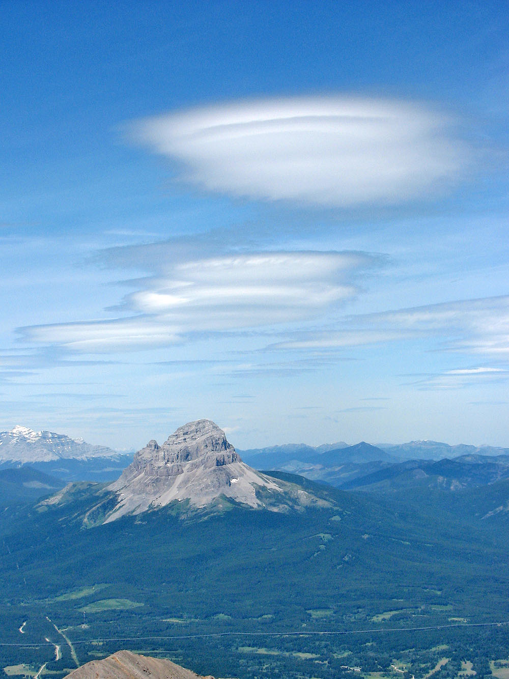
Lenticular clouds over Crowsnest Mountain
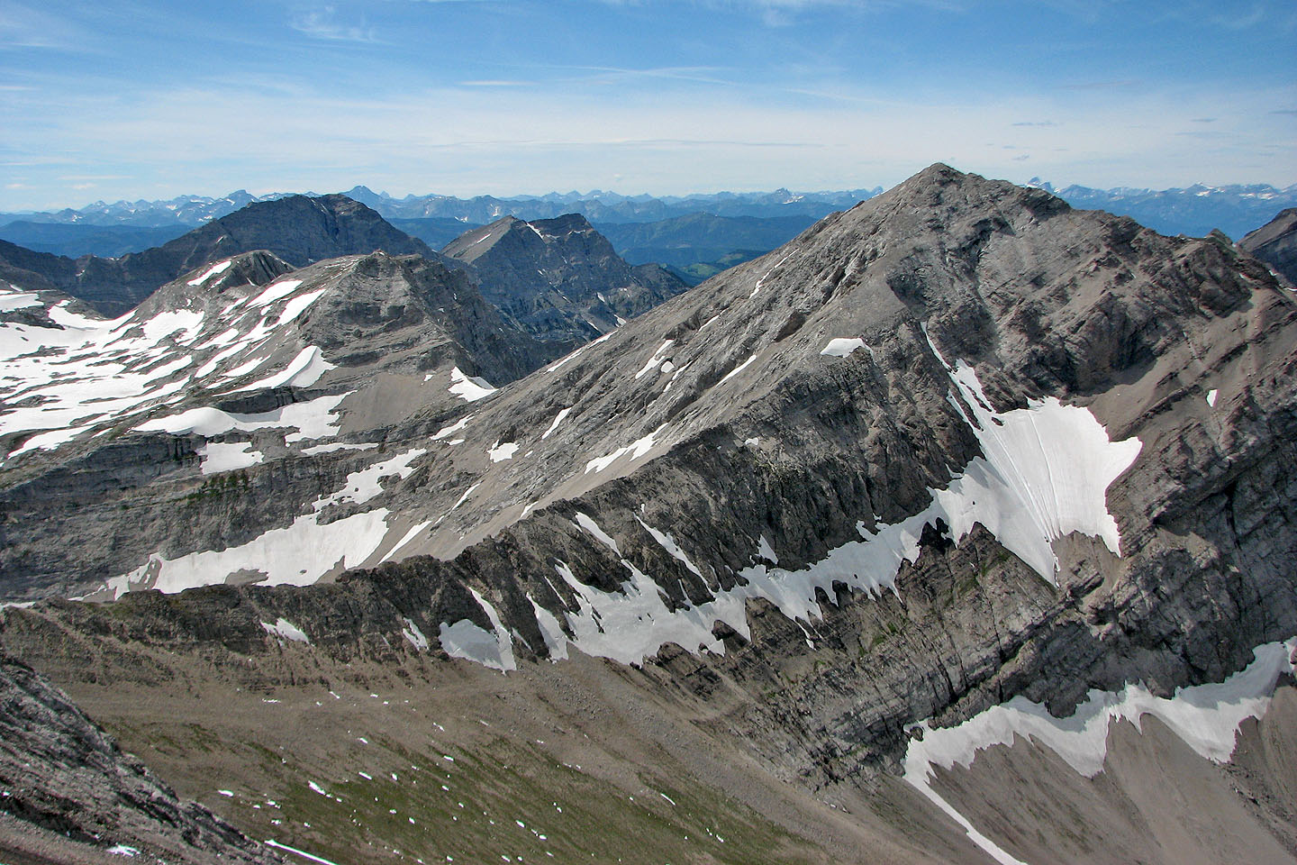
The summit seen from Centre Peak
Mount Ptolemy (mouse over to view the summit)
Andy Good Peak on the right
82 G/10 Crowsnest
