bobspirko.ca | Home | Canada Trips | US Trips | Hiking | Snowshoeing | MAP | About
Hillcrest Mountain
Crowsnest Pass, Alberta
July 2, 2026
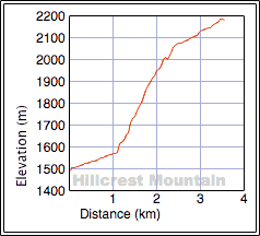
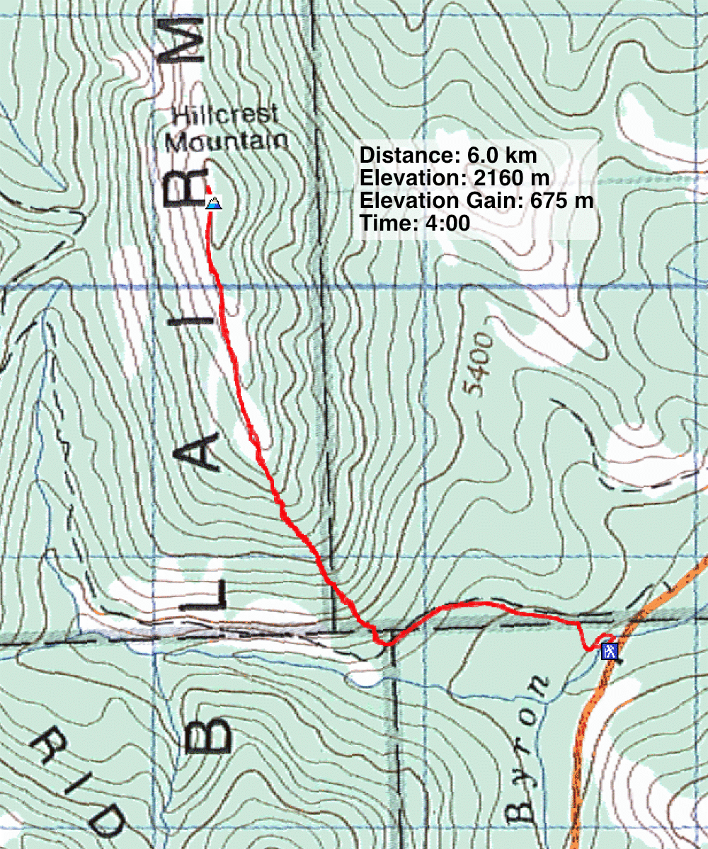
Distance: 6.0 km (3.7 mi)
Cumulative Elevation Gain: 675 m (2215 ft)
Hillcrest Mountain is a short, rugged hike, but it took me almost 20 years to learn that it offers fine views. When I climbed it on a wintry day in 2007, low cloud prevented views, so I’ve always wanted to ascend it in better weather. Brian, who had never climbed it, agreed to join me.
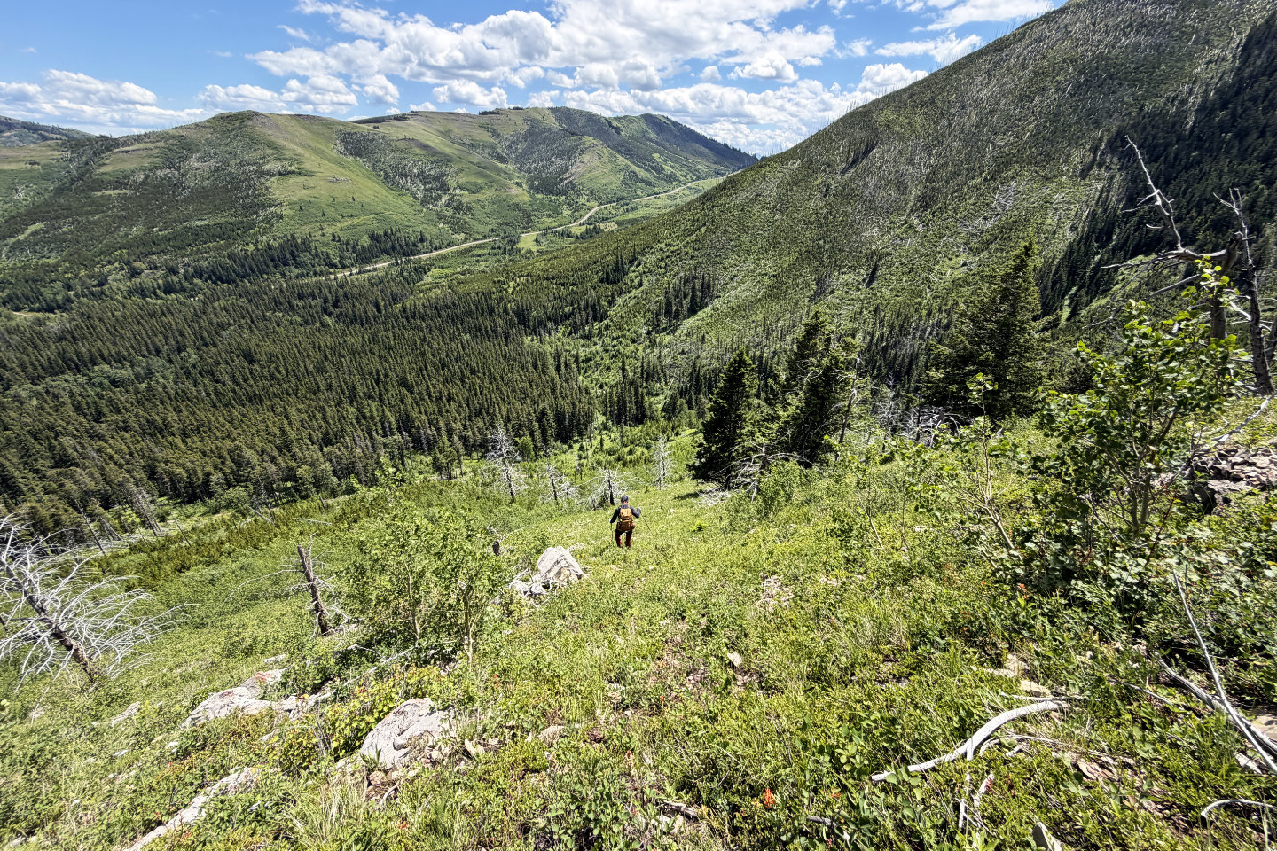
We followed my old route, walking a kilometre up an ATV trail before ascending the steep south ridge. Much has changed over the years. In 2007 I wrote, “…there was no bushwhacking: a forest fire had swept the area leaving only burnt trees standing.” But now, tall bushes covered the slope. Parties may want to consider going a couple of hundred metres farther up the trail, where, looking at satellite imagery, the slope appears less vegetated. However, after several minutes of bushwhacking, the bushes began to thin. The higher we climbed, the easier it became.
Eventually, we hit scree. Going up wasn’t a problem, but coming down later, the loose rocks rolled under our boots. When we reached the ridge, we found a vague trail in the scree. We continued climbing steeply and soon exited the forest of dead trees.
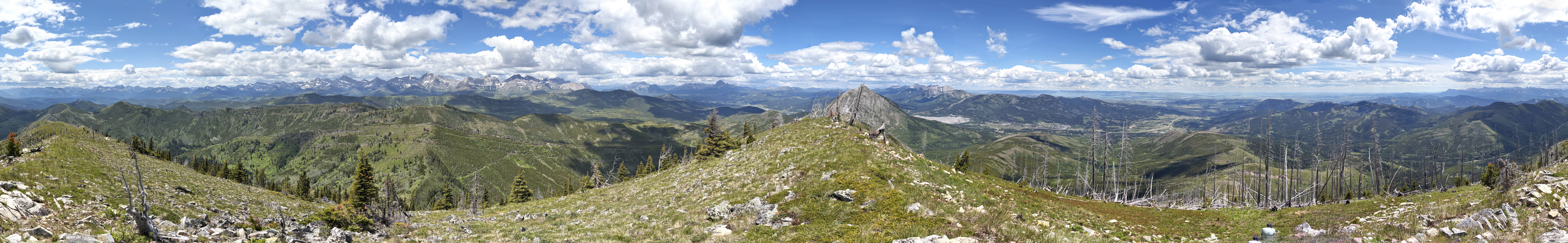
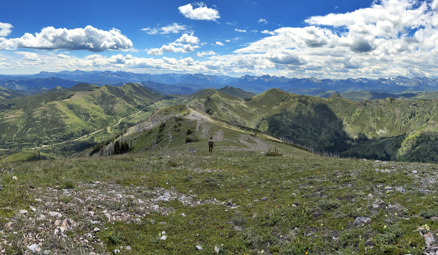
When we reached a buttress on the ridge, we skirted right and found a break in a low cliff band. We soon regained the ridge crest. After that, it was a pleasant ridgewalk. The grade eased, and we had far-ranging views. On the top, I took a summit panorama, something I was unable to do on my first time up Hillcrest Mountain because of low clouds. I studied the surrounding mountains that I couldn’t see before. After relaxing out of the wind, we headed back, retracing our steps down.
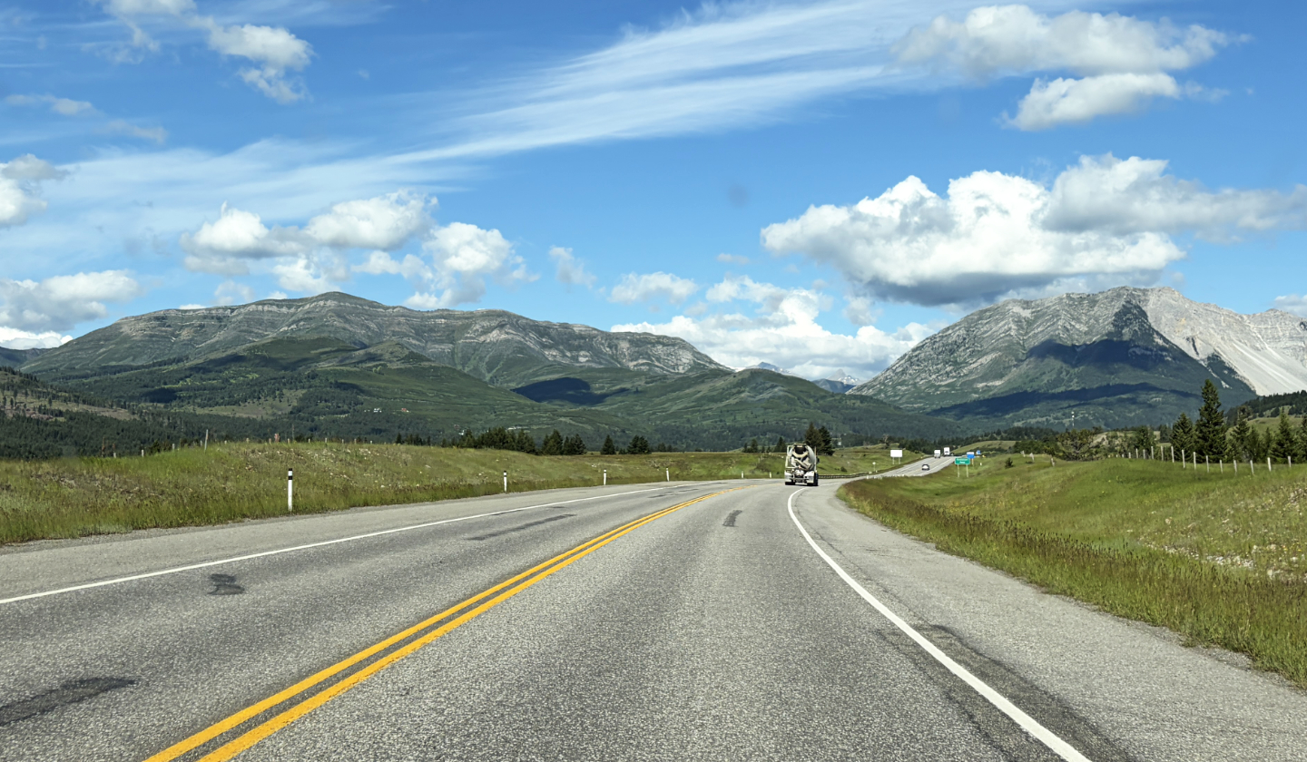 Hillcrest Mountain and Turtle Mountain seen from highway 3
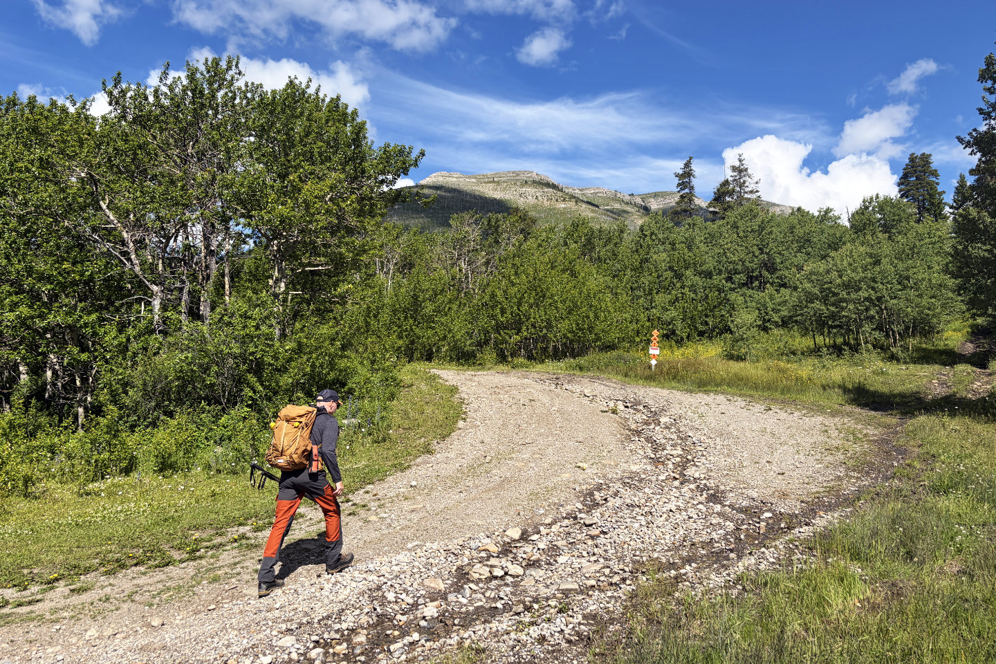 Starting up the trail
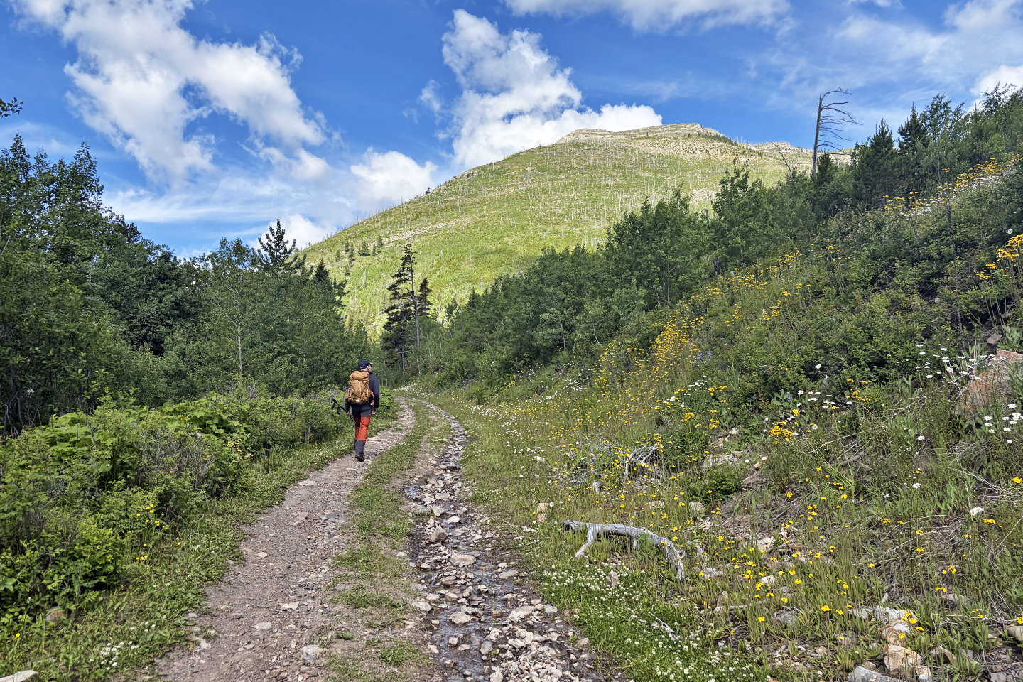 Continuing up the trail to the end of the ridge
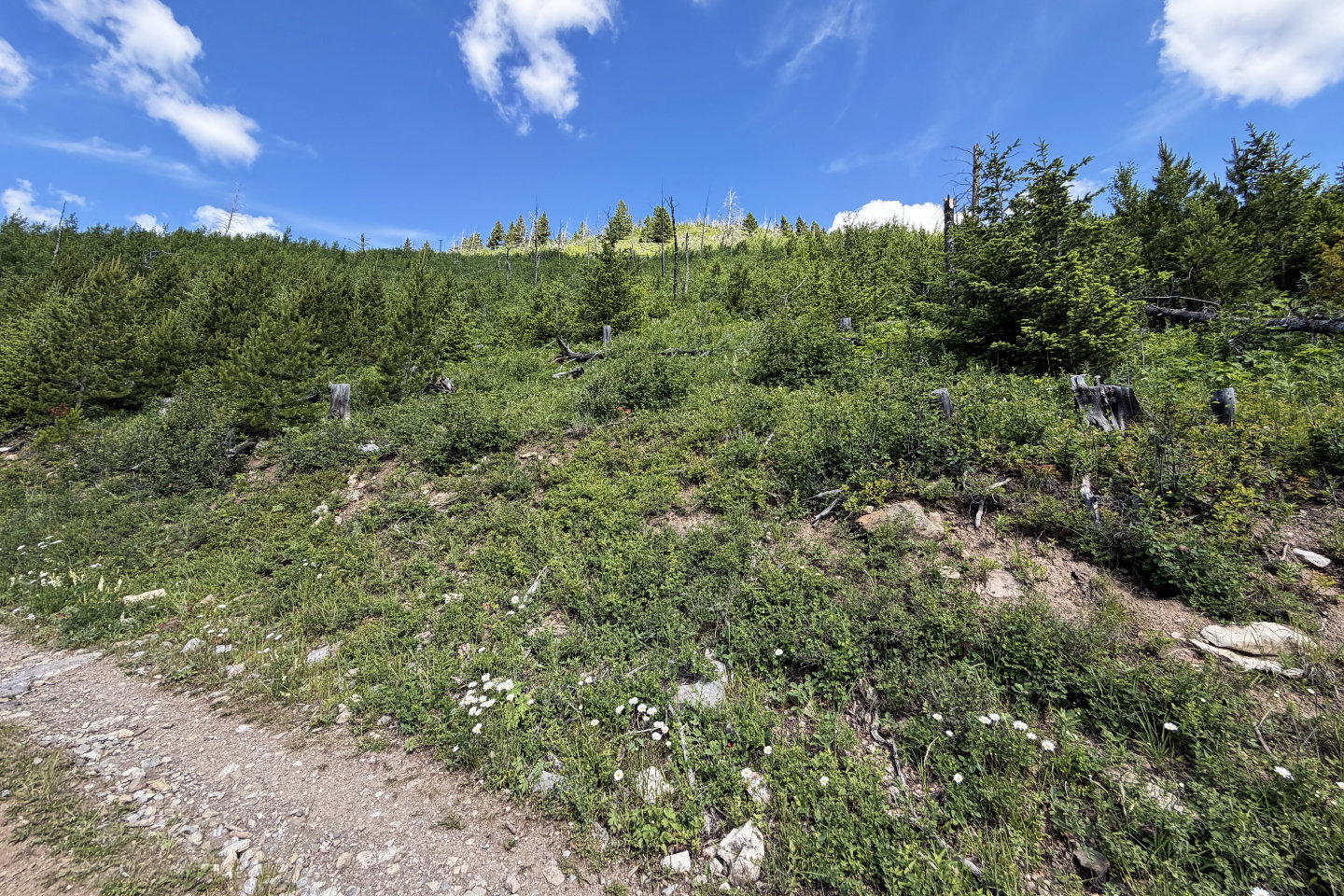 We left the trail here and started up the slope
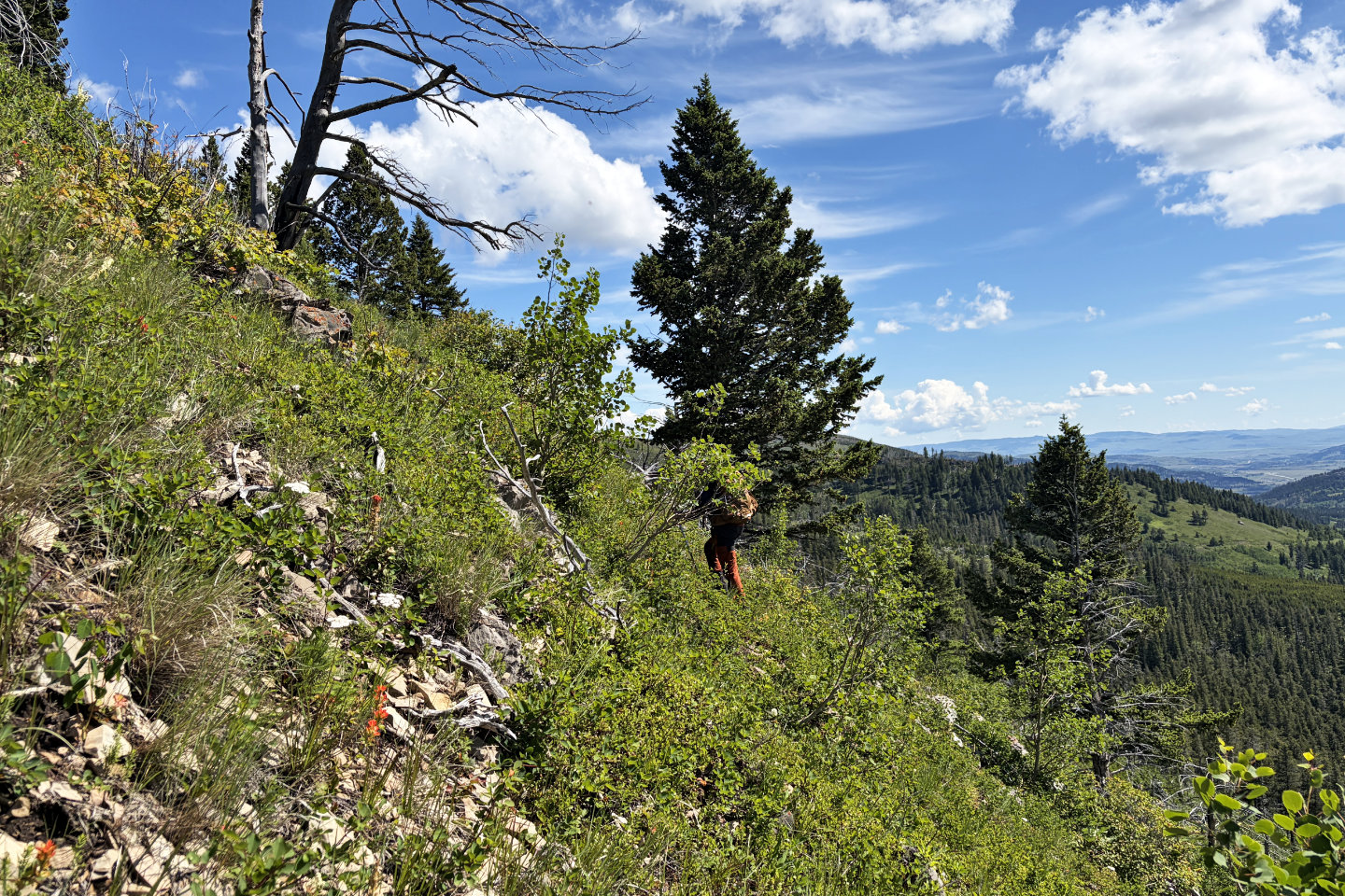
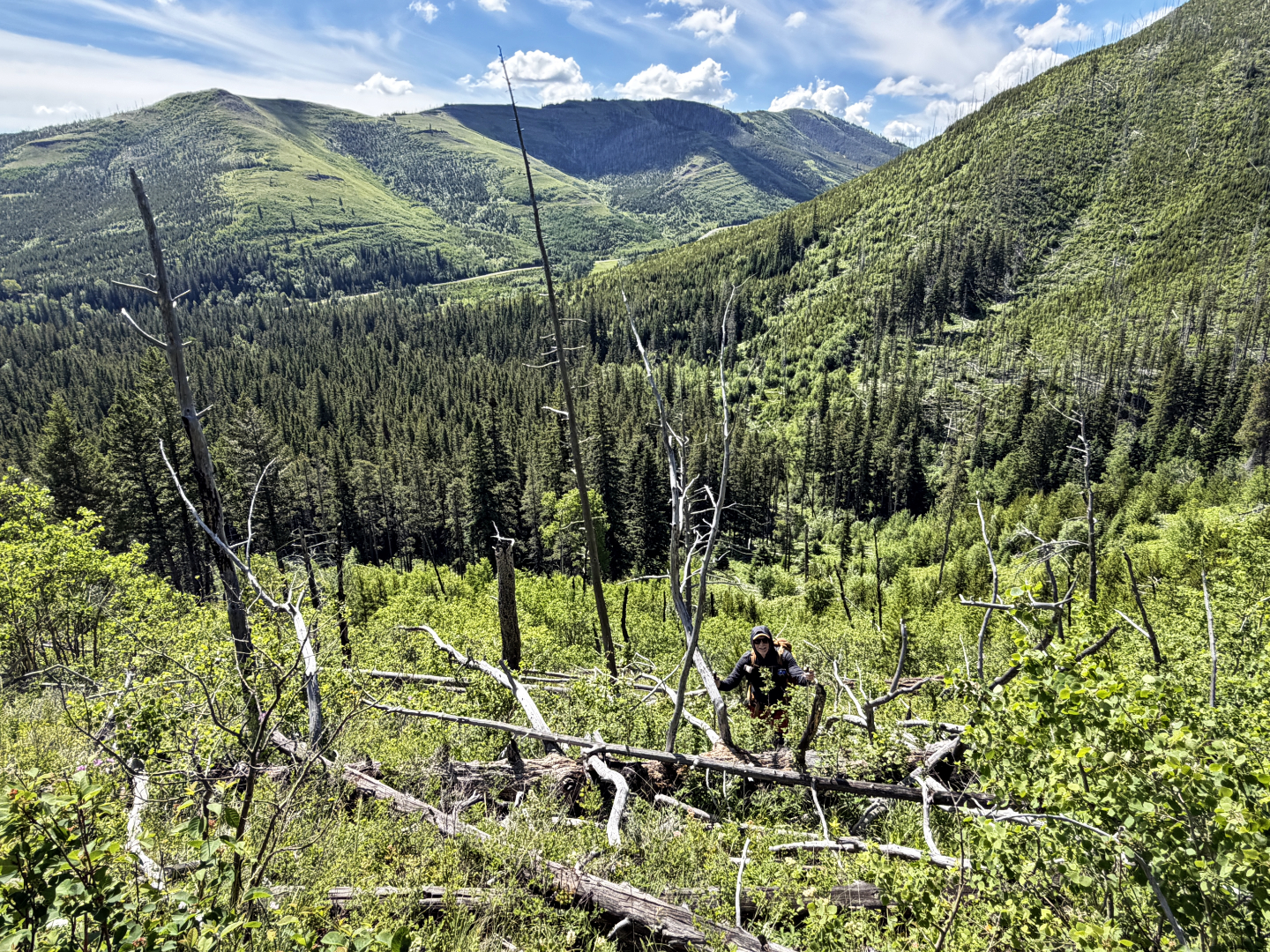 Dense brush and deadfall bedeviled the lower slope
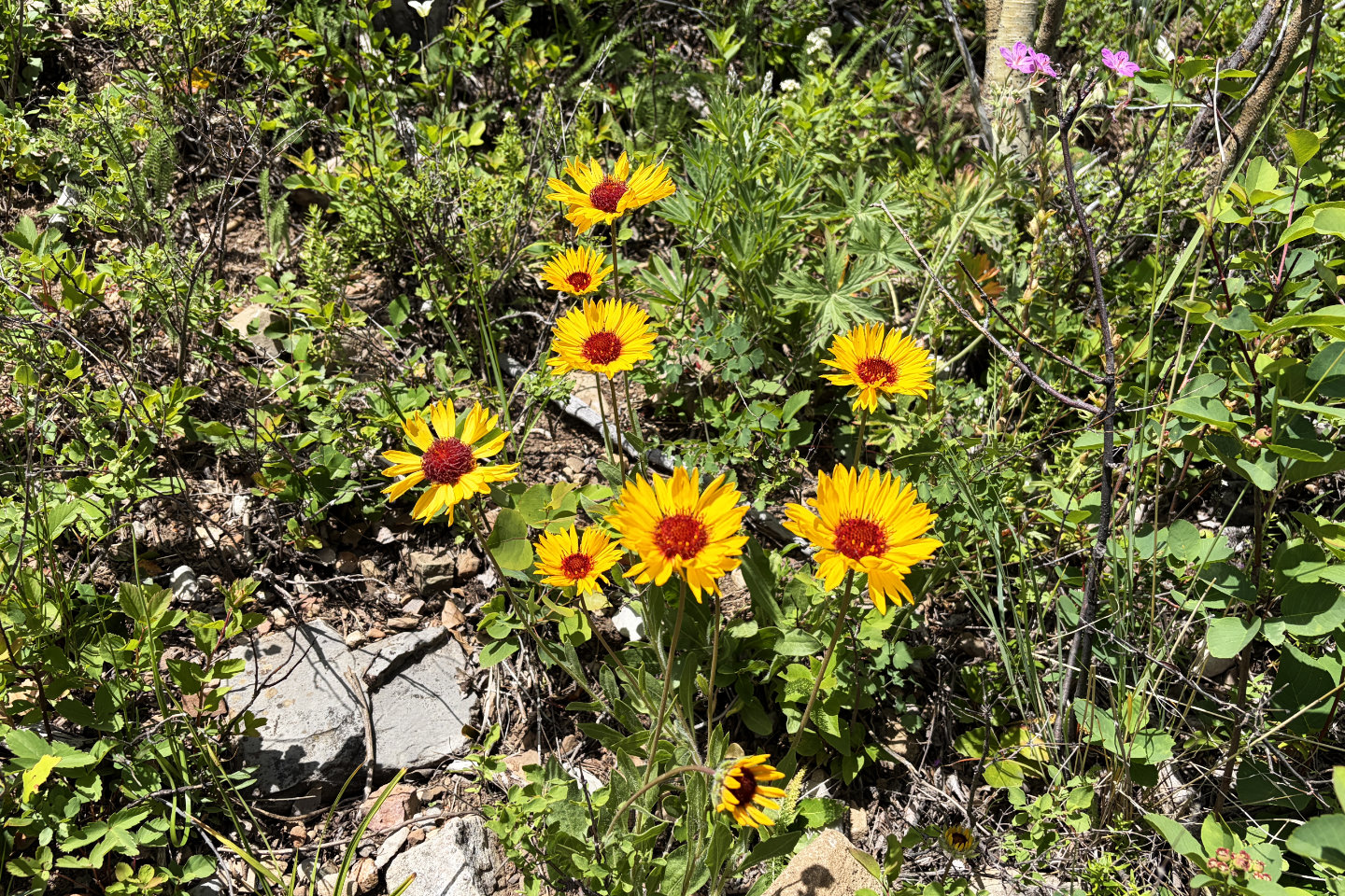 Among the bushes, arrowleaf balsamroot flowers found a place in the sun
 The bushes and deadfall soon eased, but the slope remained steep
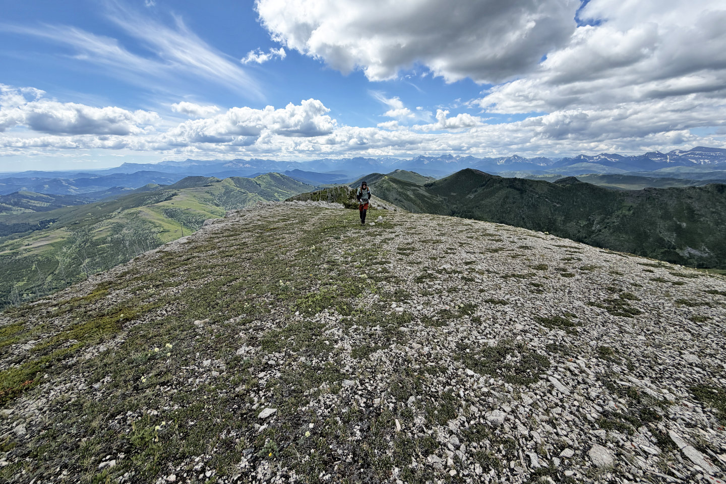
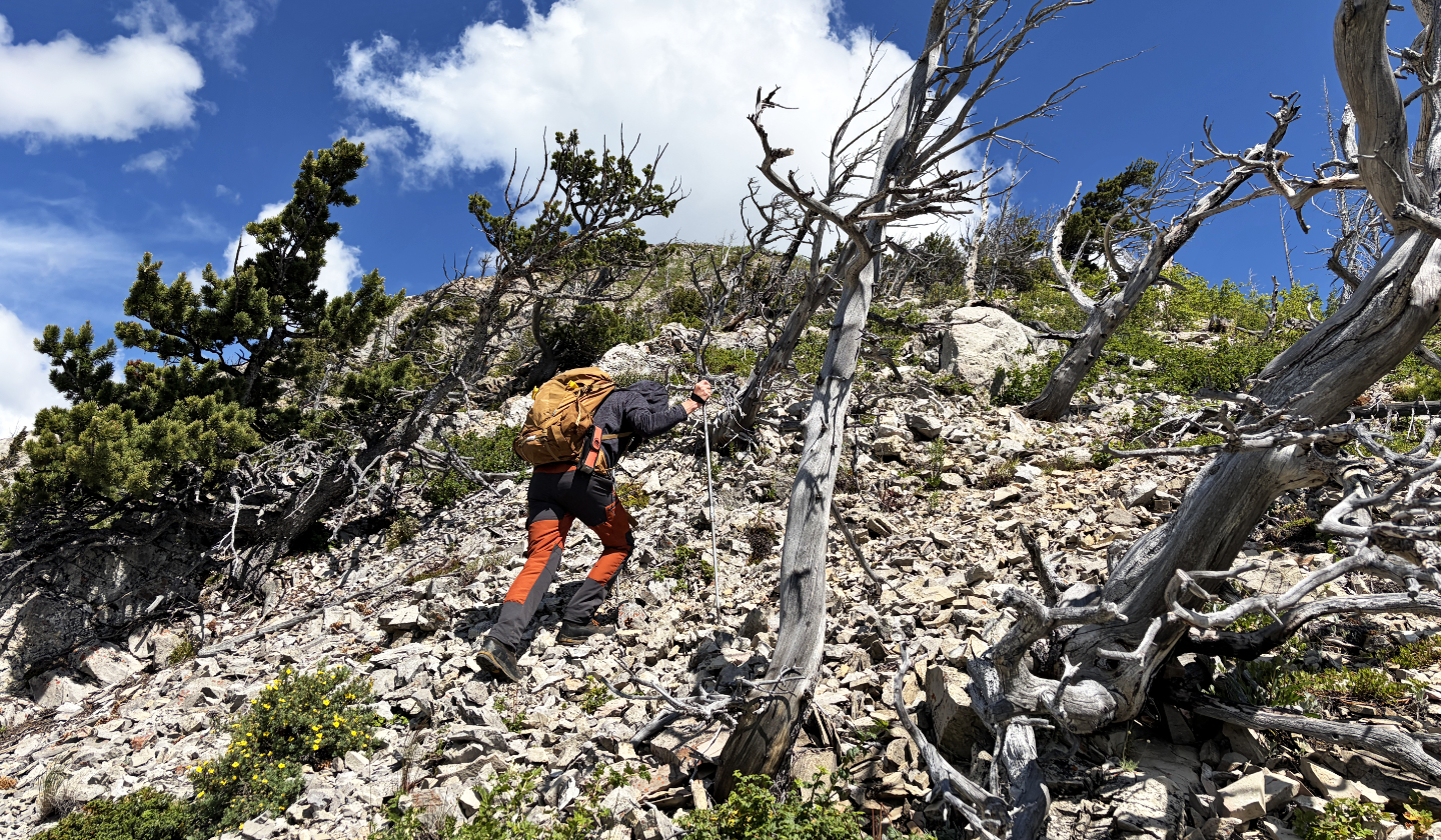 Eventually we reached the scree-covered ridge
 Looking back
 Continuing up the ridge
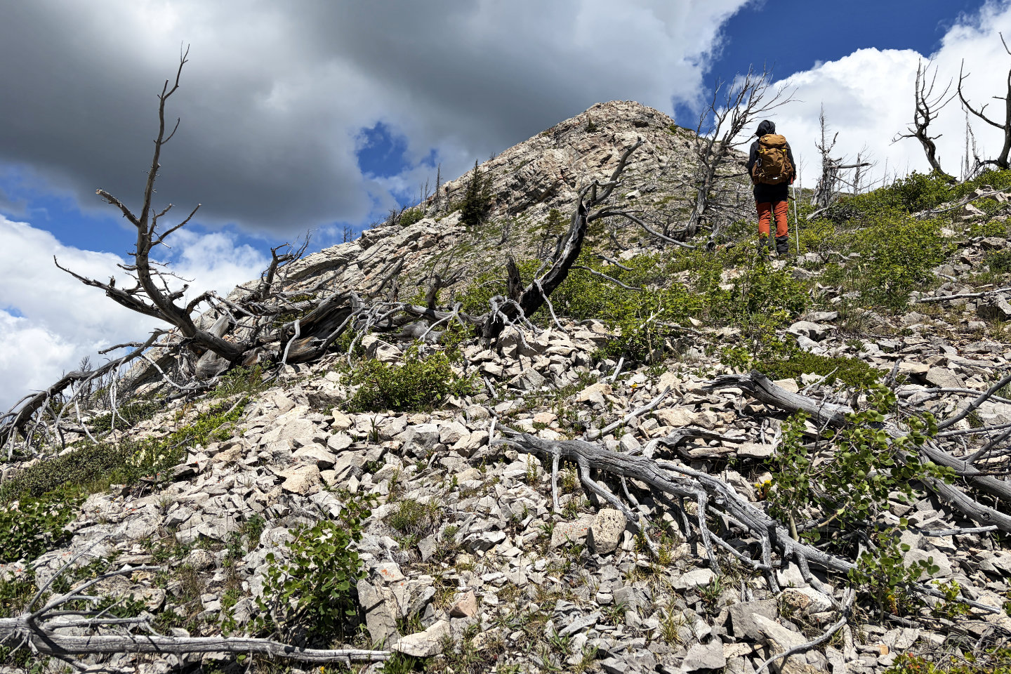 We kept right of the buttress ahead
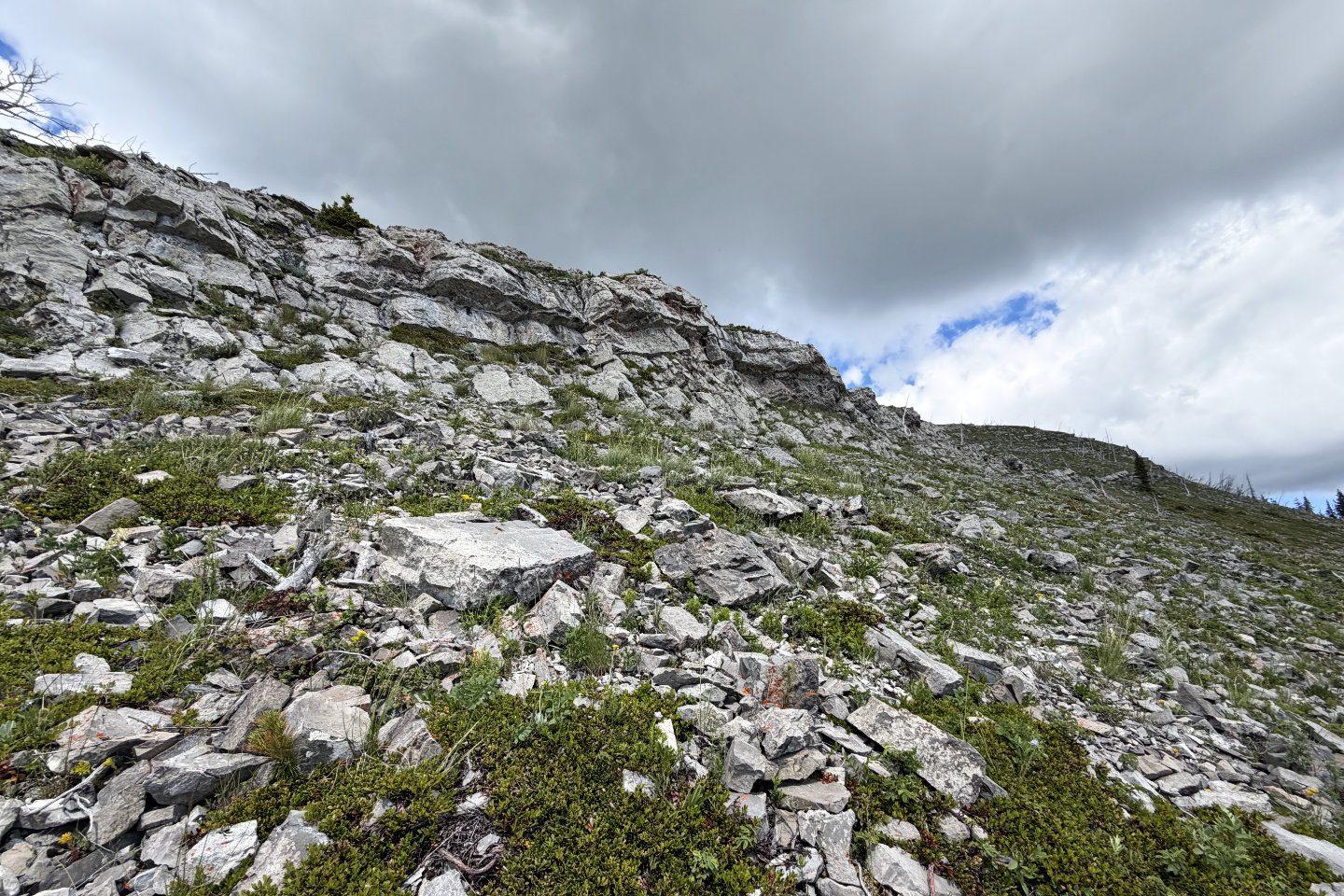 After the buttress, we looked for a break in the low cliff band
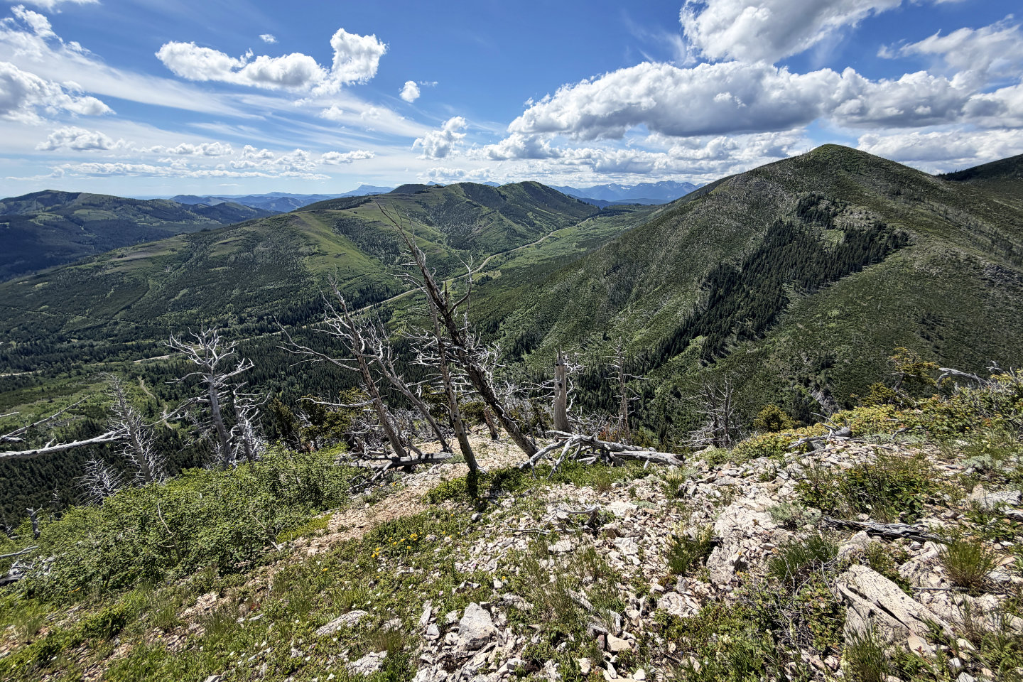
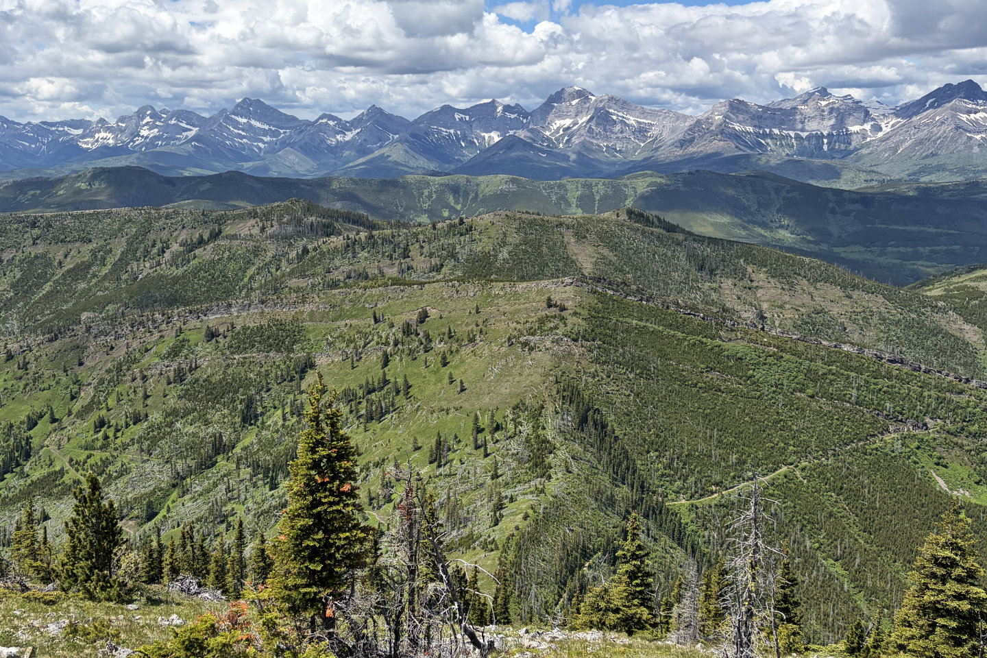
 Looking back after climbing above the cliff band. The highest point of the ridge behind is Poker Peak.
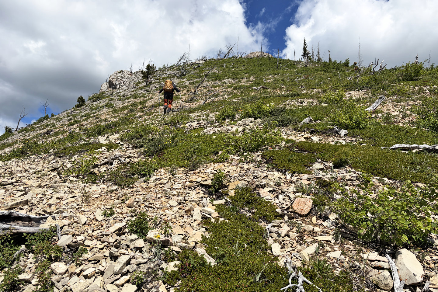
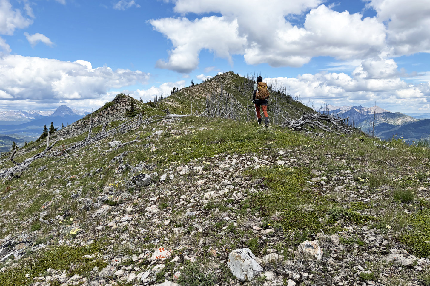
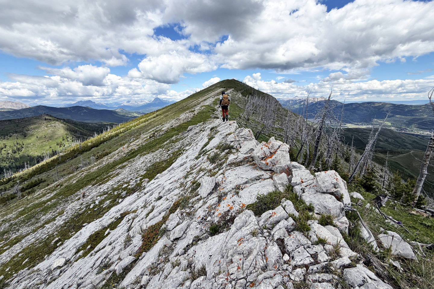 Continuing along the ridge to a false summit
 Looking back
 The summit appears ahead
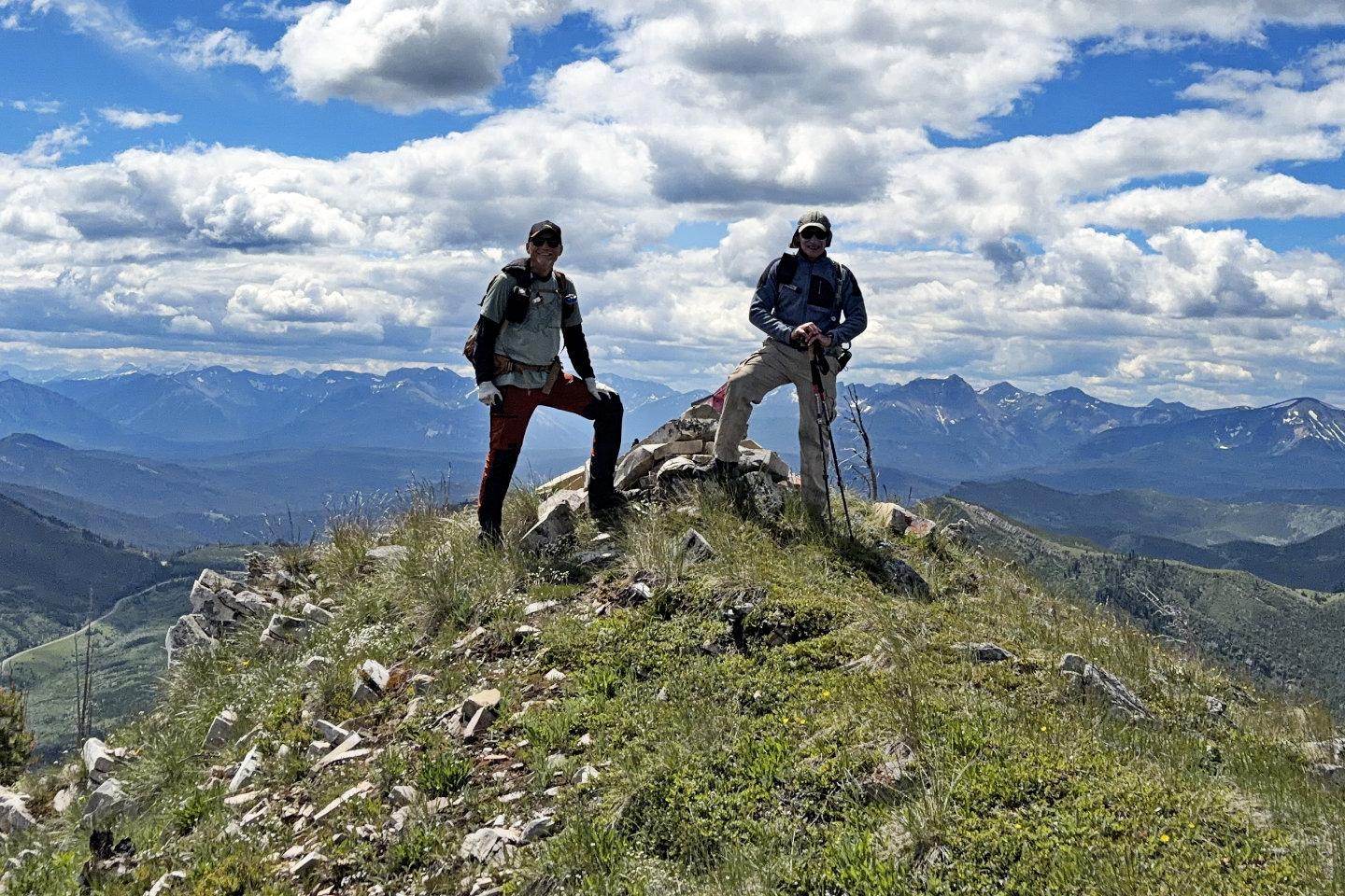 Standing next to the summit cairn
 The low ridge west is Hearts Peak
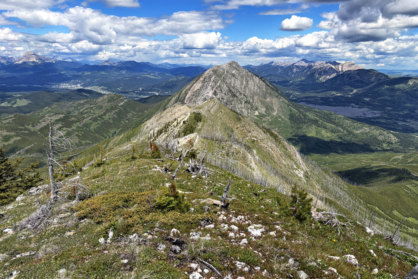
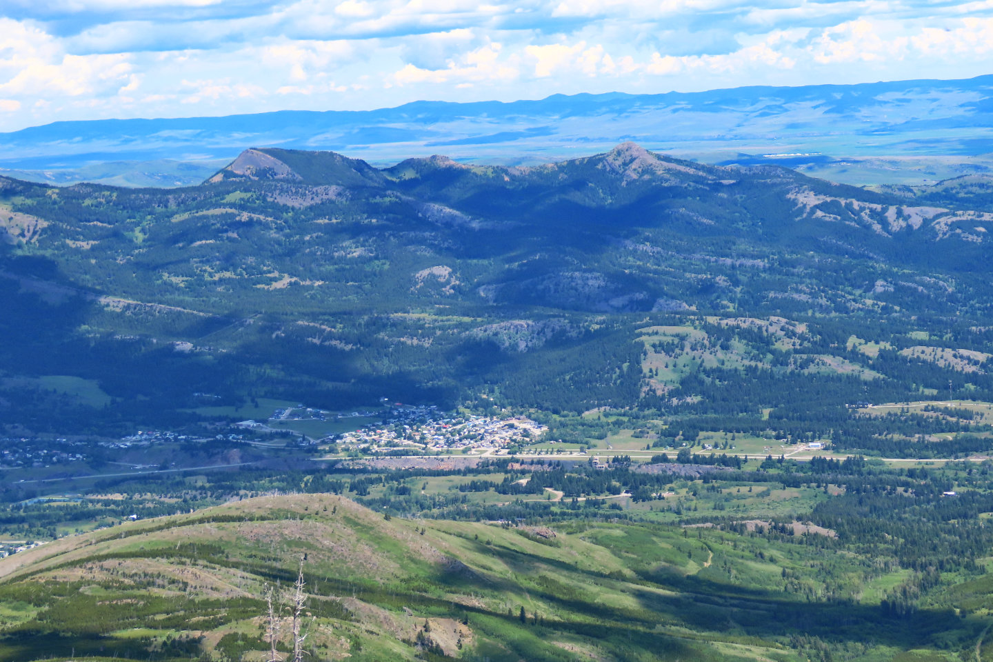 Robertson and Tallon Peaks appear above the Town of Bellevue. In May, I climbed the bump in the foreground, Cryon Hill.
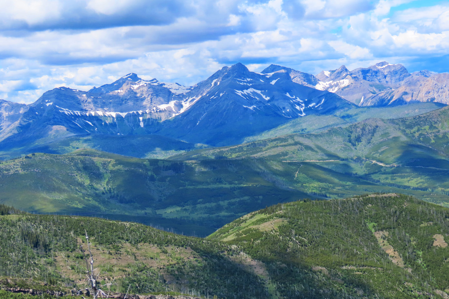 In the centre, lying west, is Coulthard Mountain
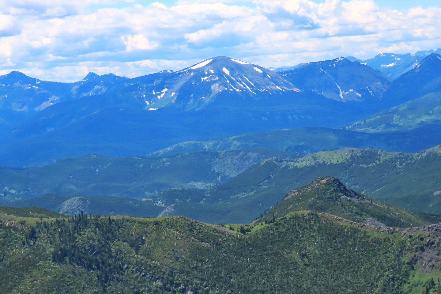 Southwest in the centre is Mount McCarty
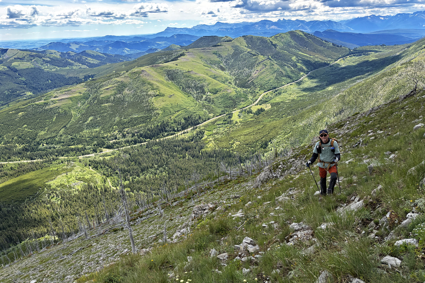
 Heading back down the ridge
 Making our way back down to the trail
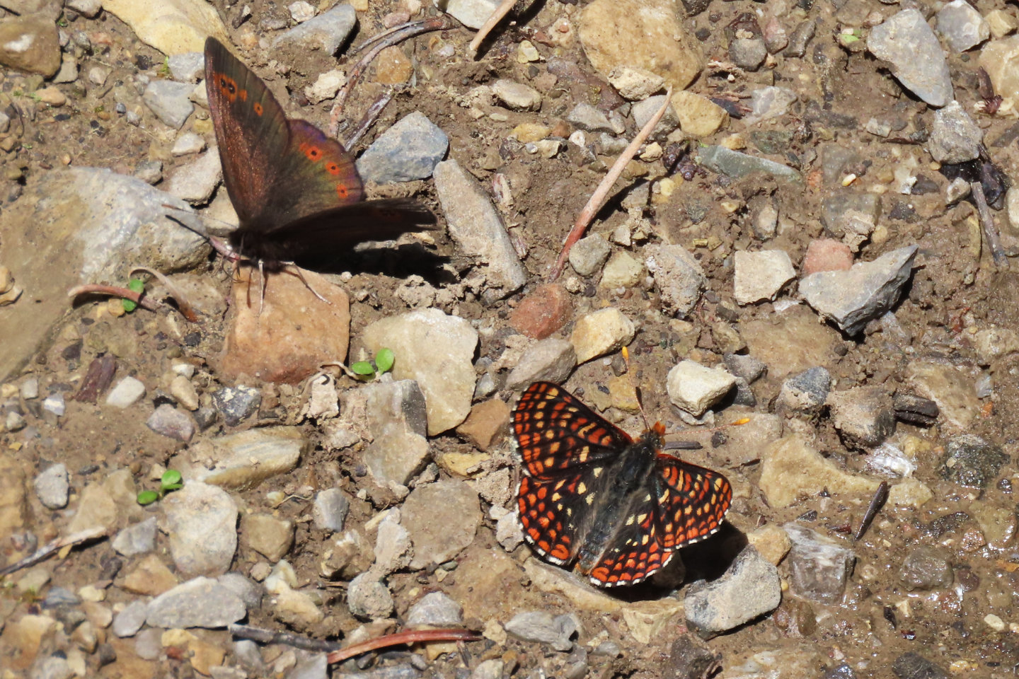 Dozens of butterflies were mud-puddling on the wet road
82 G/9 Blairmore