bobspirko.ca | Home | Canada Trips | US Trips | Hiking | Snowshoeing | MAP | About
Mount McLaren
Crowsnest Pass, Alberta
October 19, 2002
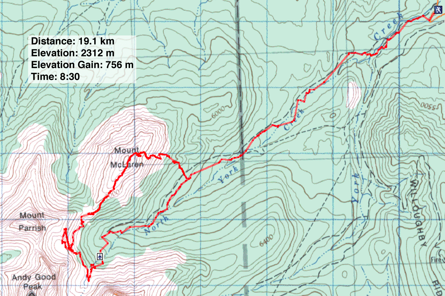
Distance: 19.1 km (11.9 mi)
Cumulative Elevation Gain: 1071 m (3514 ft)
In 1946 a Royal Canadian Air Force DC-3 crashed into a mountain in Crowsnest Pass killing seven servicemen. Some of the wreckage, including a wing and the tail section, still remains. Using back roads, Dinah and I, along with Wayne and Lori, hiked up to the plane crash site and continued up to the cirque above the site.
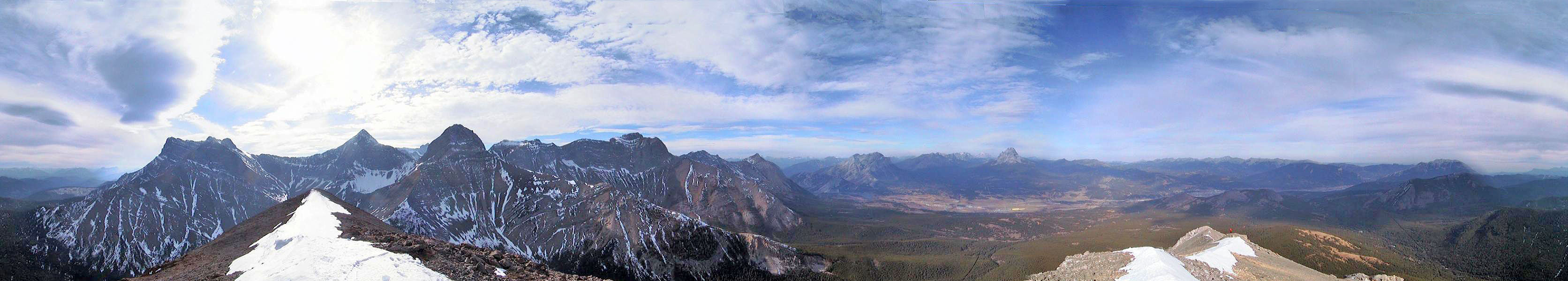
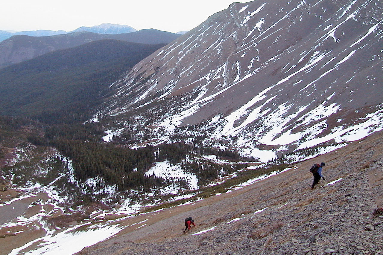
After reaching the first cirque, we traversed west following a good goat track on the steep scree slope and climbed up to another cirque, between Andy Good and Mount Parrish. From either cirque it looks possible to climb much higher, so I plan to return sometime. We tried to reach the col between Parrish and McLaren without losing elevation, but cliff bands and loose rock stopped us.
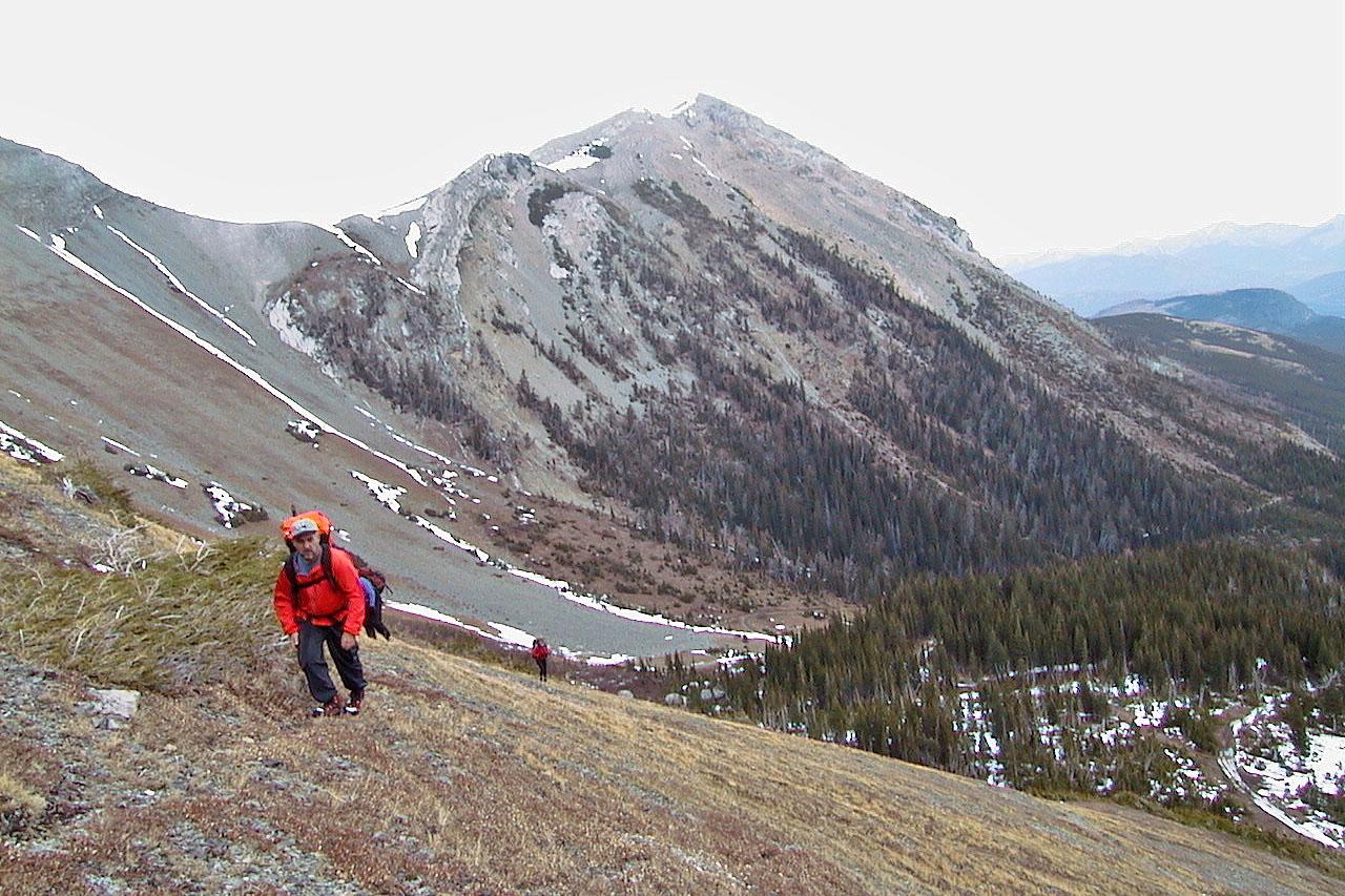
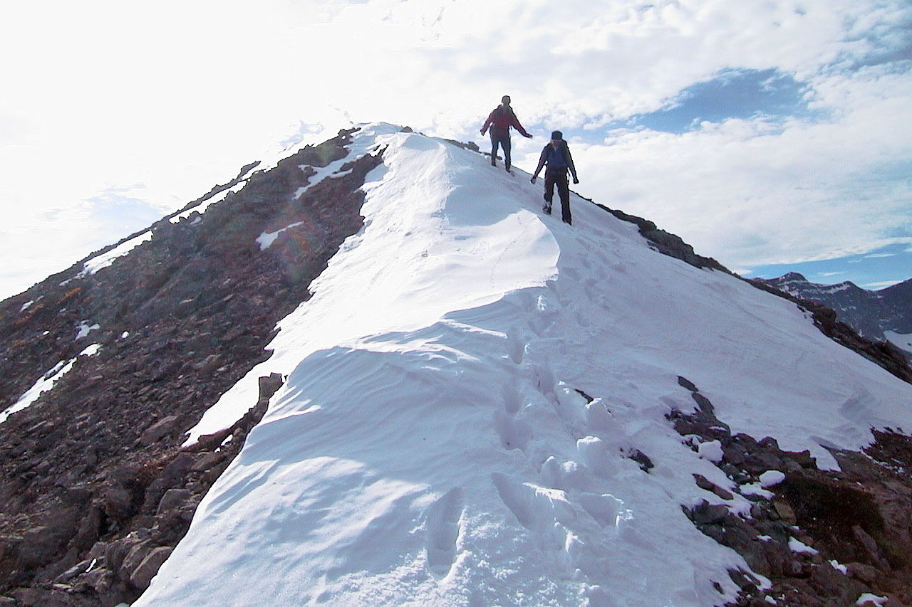
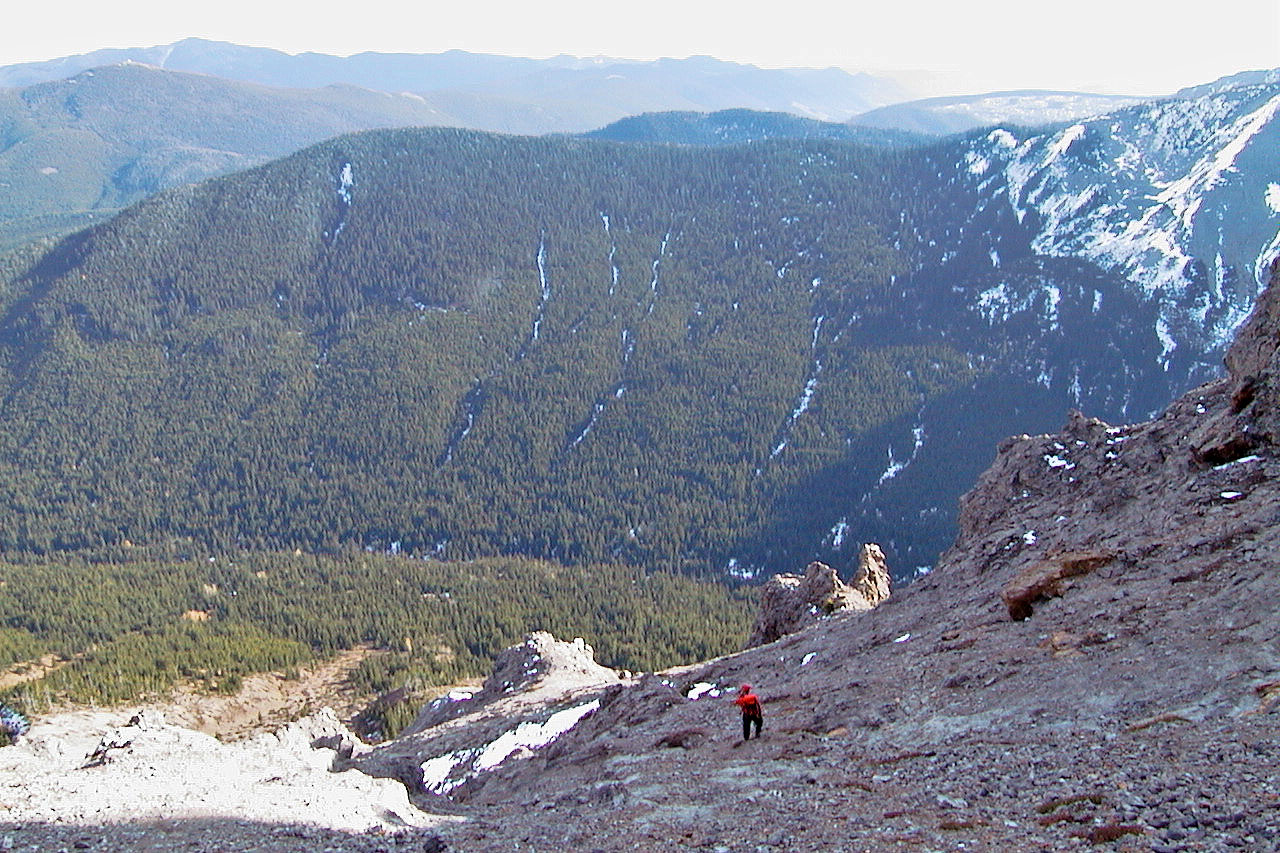
So we backtracked and dropped down to another goat track that led to the col. From there it was an easy, albeit long, hike to the top of McLaren. After reaching the top, we followed the ridge a short distance before dropping down a steep slope. The landscape here is tortured, so it called for some route-finding, especially near the bottom where there are cliffs and pinnacles to negotiate. Caves abound and we inspected one of them. From there it was a short climb down back to the road.
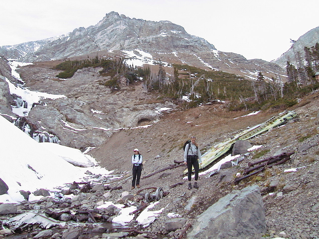
Looking at the plane crash site. Andy Good Peak in the back.
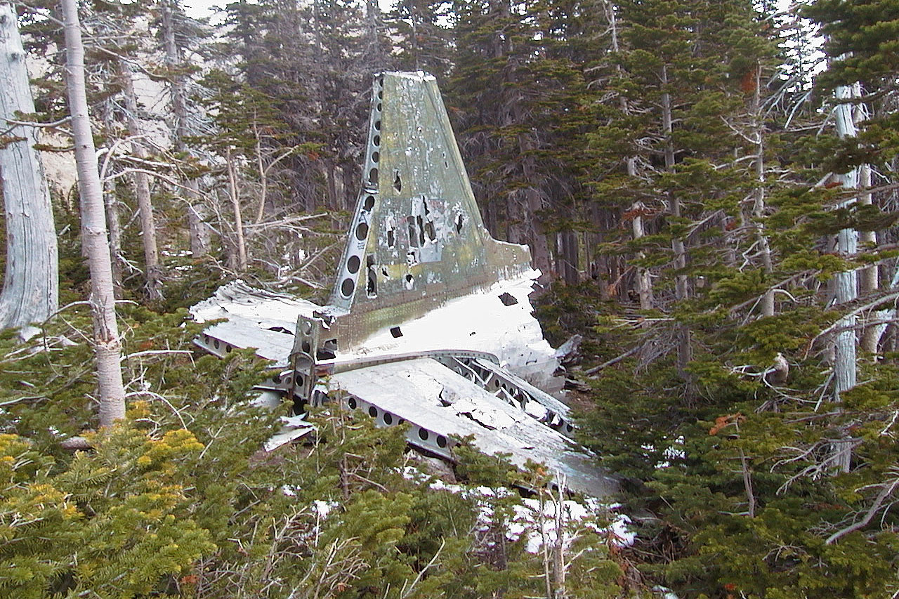
Tail section
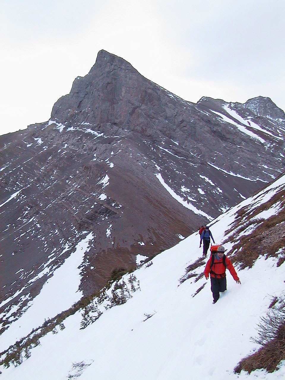
Climbing to the cirque above plane crash. Mount McLaren in the background.
Mount Coulthard behind us
Looking back
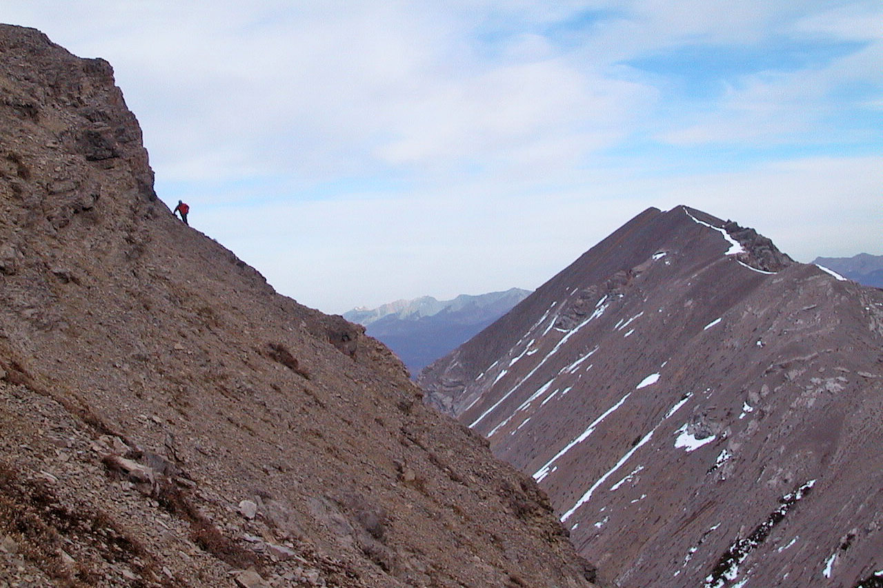
Cliffs stopped us from reaching the col from here. Mount McLaren on the right.
At the Parrish-McLaren col, Mount Parrish in back
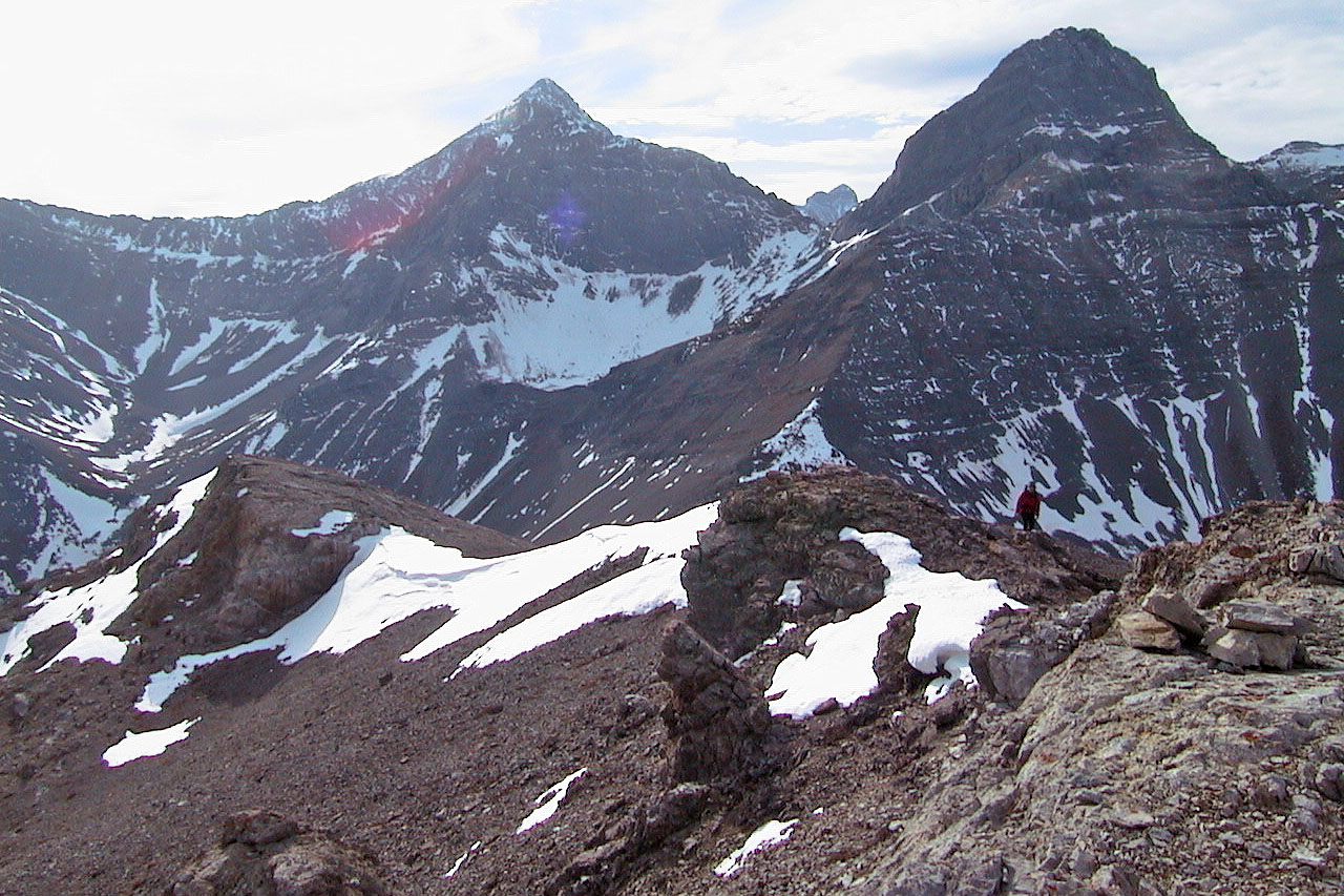
Andy Good Peak and Mount Parrish
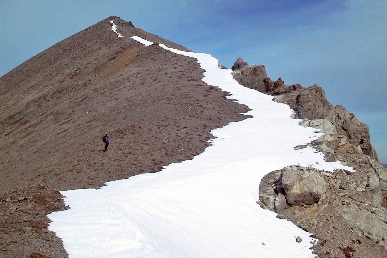
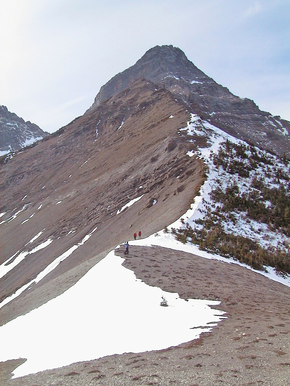
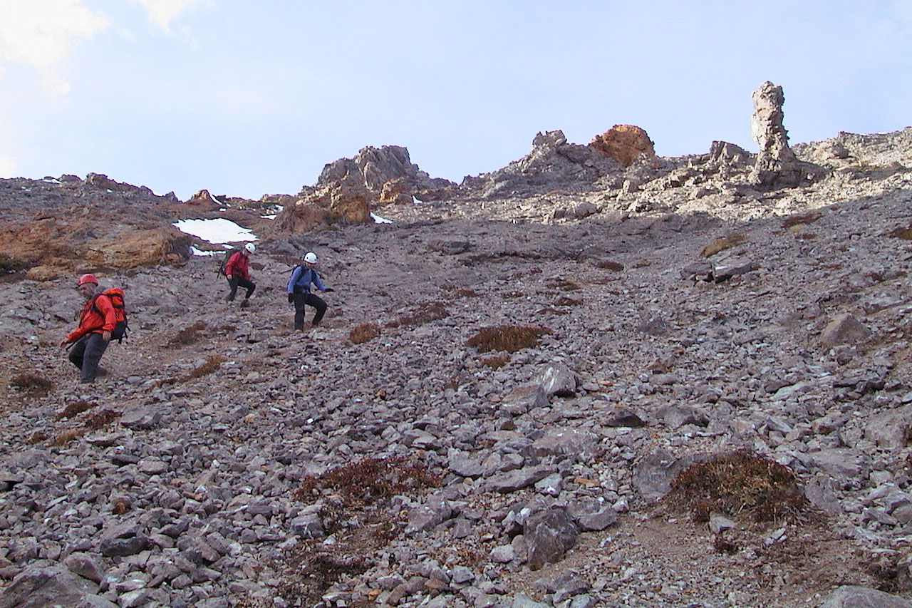
Easy ascent to the summit of Mount McLaren
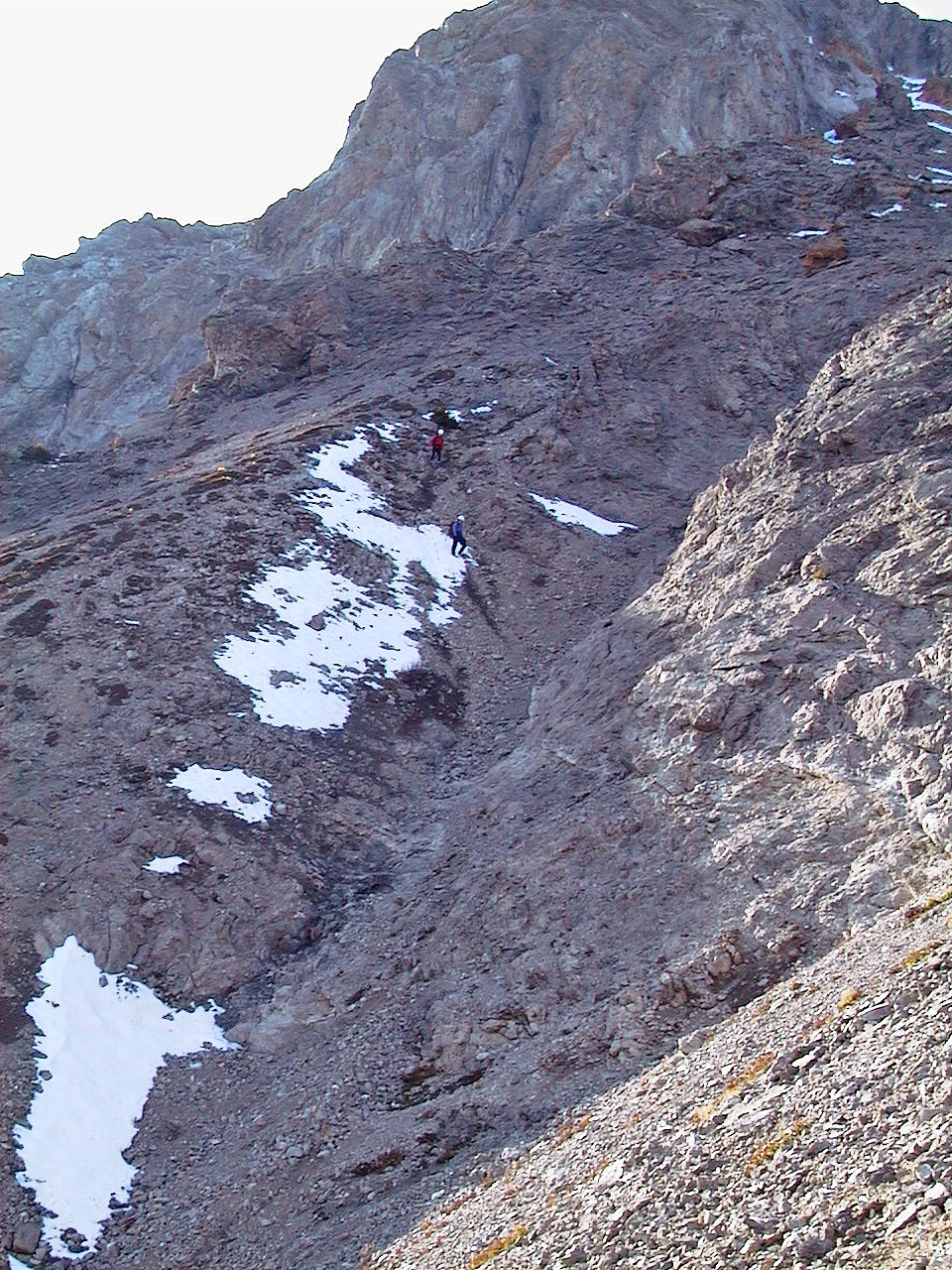
Coming down from the summit
Heading down
Looking back up the slope
Negotiating a gully
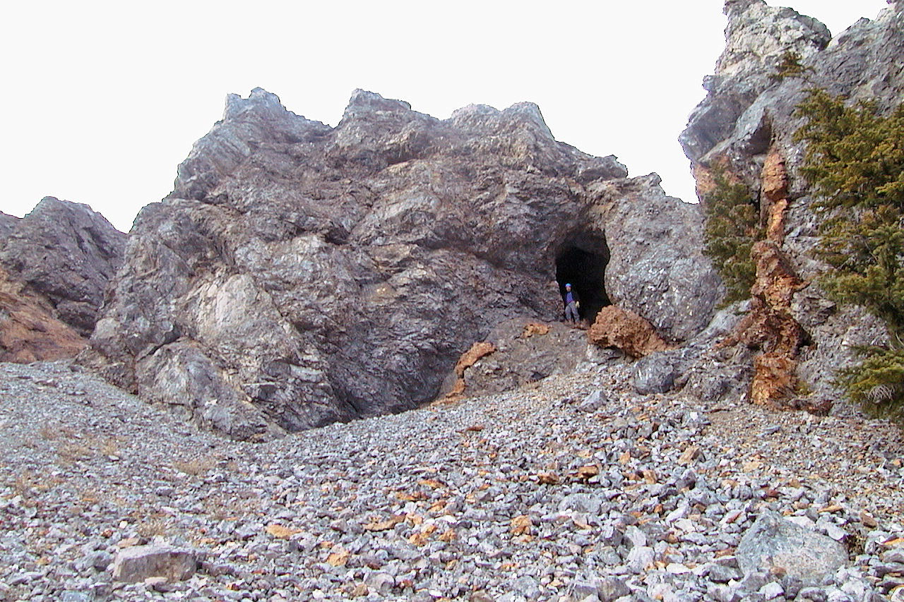
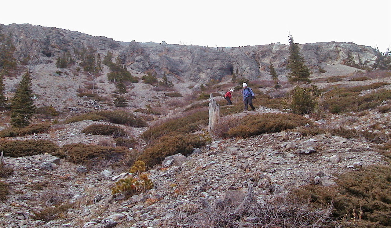
Checking out one of the caves on Mount McLaren (mouse over for a close-up)
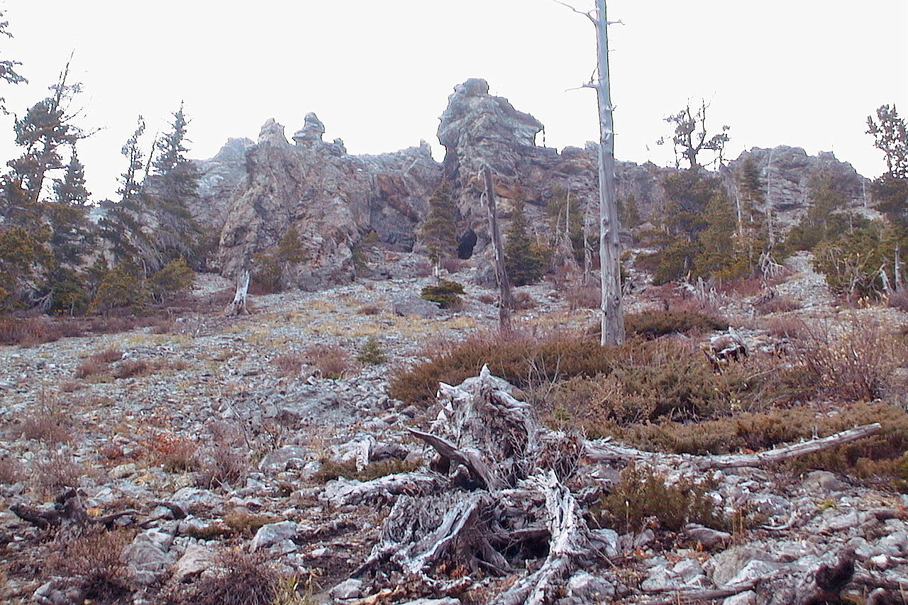
Looking back at the strange rock formations
Almost at the bottom
82 G/10 Crowsnest