bobspirko.ca | Home | Canada Trips | US Trips | Hiking | Snowshoeing | MAP | About
Wolf Creek Hill (East Approach)
Kananaskis, Alberta
October 26, 2024
Distance: 9.8 km (6.1 mi)
Cumulative Elevation Gain: 287 m (942 ft)
After climbing Wolf Creek Hill earlier this year using the North Approach when Sheep River was frozen, I returned using an east route that avoids the river crossing. It takes advantage of Wolf Creek trail before turning onto a path to the summit. Special thanks to Gillean and Tony Daffern who informed me of the route. (These trails, along with others in the area, will appear in the 5th edition of Volume 4, Kananaskis Country Trail Guide.)
Although Wolf Creek trail avoids crossing Sheep River, the equestrian trail is not without drawbacks. In the spring and summer, expect extensive wet and muddy sections (see my June trip). In the fall, I encountered frozen mud, the ground lumpy and prone to twisting an ankle.
When Zora, Christine and I arrived at the trailhead at the end of 482 Avenue W, several vehicles were parked, presumably by hunters. I talked to one hunter who said they were after elk. Fortunately, they were heading south, and we were going west. We didn't encounter hunters on our trip, although we heard distant gunfire.
We followed the trail over cutblocks, across creeks and through forests. After the first creek, the trail forks, and we kept right. Tracks in the snow made the trail easy to follow. Not only had horses, cows, elk and deer left their mark, but remarkably a bear had followed the trail for over 2 km.
The trail gradually descends, losing 50 m by the time we reached Wolf Creek. We crossed the half-frozen creek and continued up the other side. Wolf Creek trail continues ahead, but we turned onto the trail to Wolf Creek Hill. After a while, the trail forks and we kept right. We followed the trail as it switched between meadows and forests.
The summit itself is half bare allowing views to the south. Channell Ridge North Summit is tantalizingly close, but I had no wish to do it again. We settled down for lunch, the air so mild, that we didn't put on jackets. But minutes later, a strong, cold wind came up and we fled the summit. Despite our concerns of running into a bear or being shot at, we returned to our car without incident.
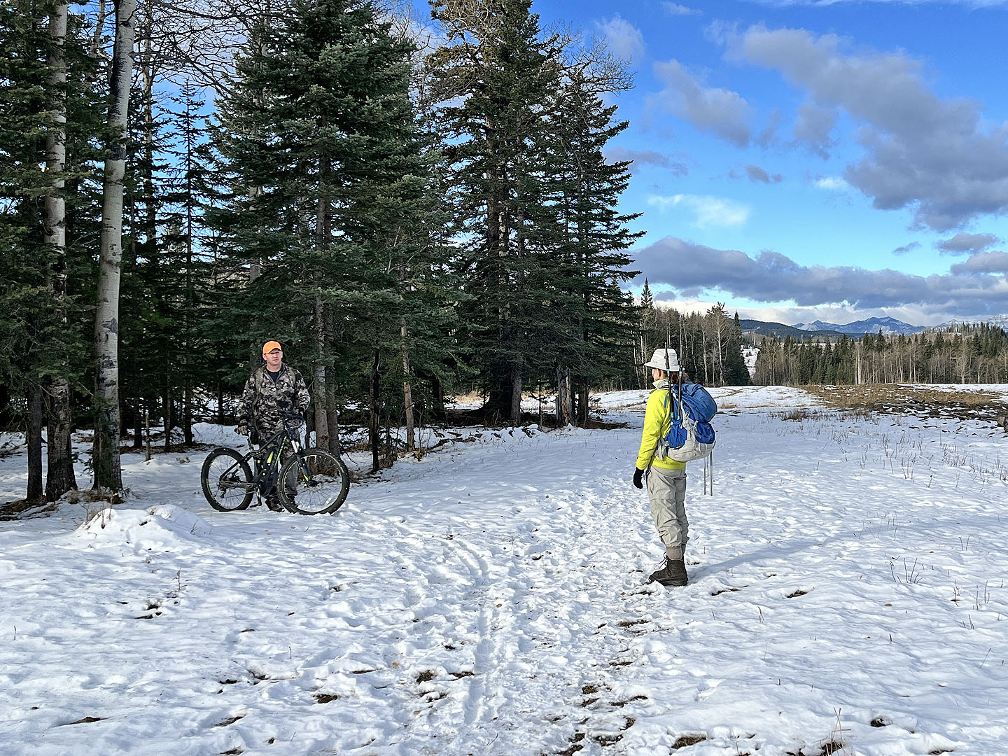 It may look like a showdown at the trailhead, but the hunter is preparing to leave
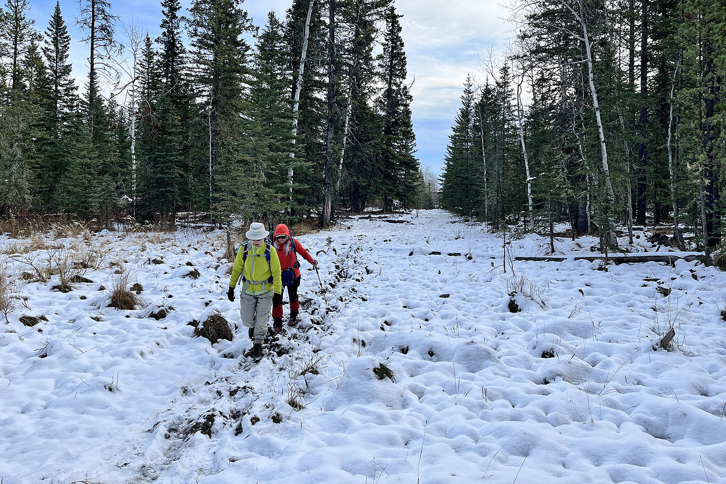 The lumpy, frozen mud sections were awkward to cross
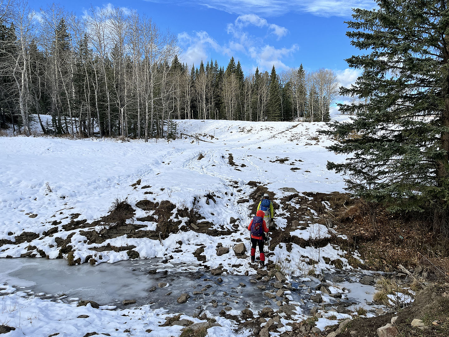 700 m after starting, we crossed a creek and turned right
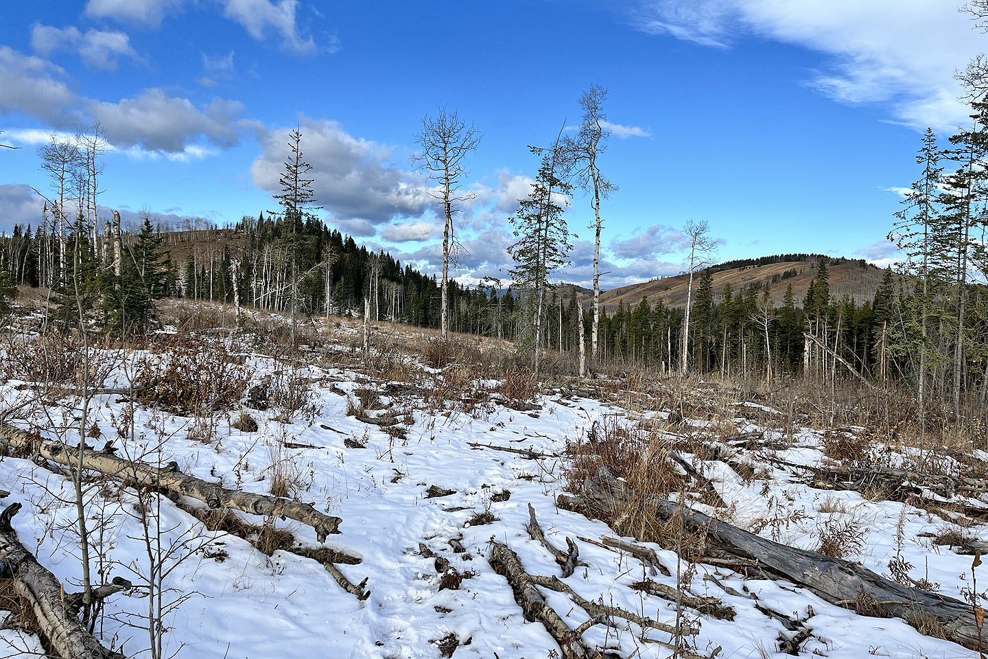 Sandy McNabb Hill on the right
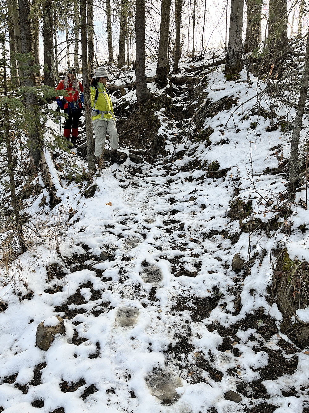
Bear tracks headed in the opposite direction, following the trail for over 2 km.
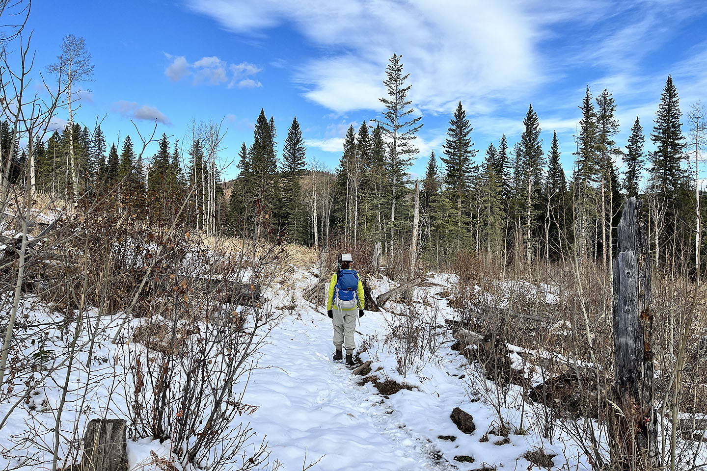 Going through another cutblock

Back in the forest
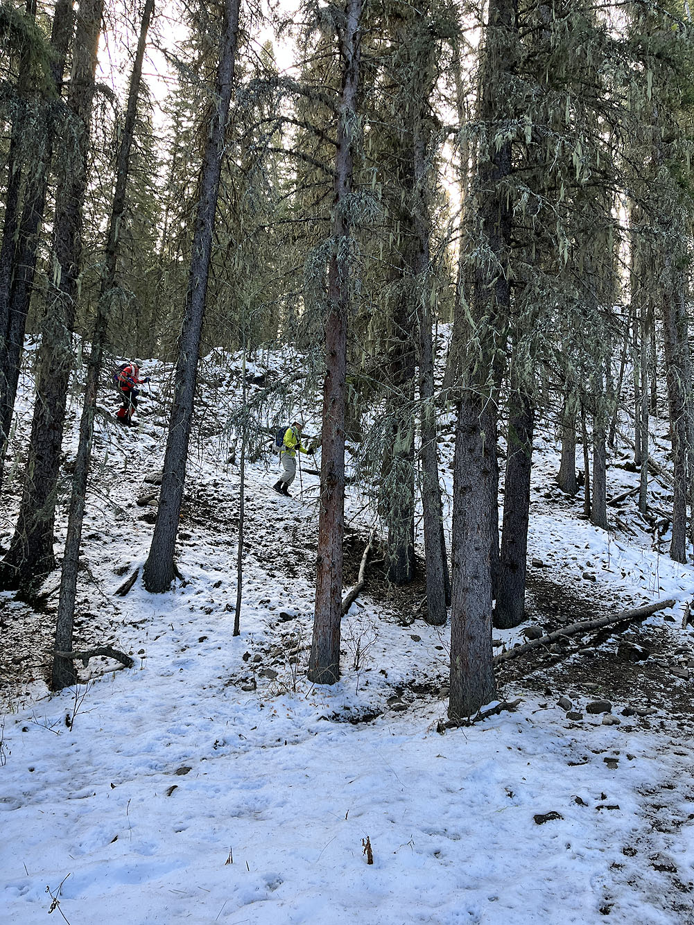
The trail drops 20 m down to Wolf Creek
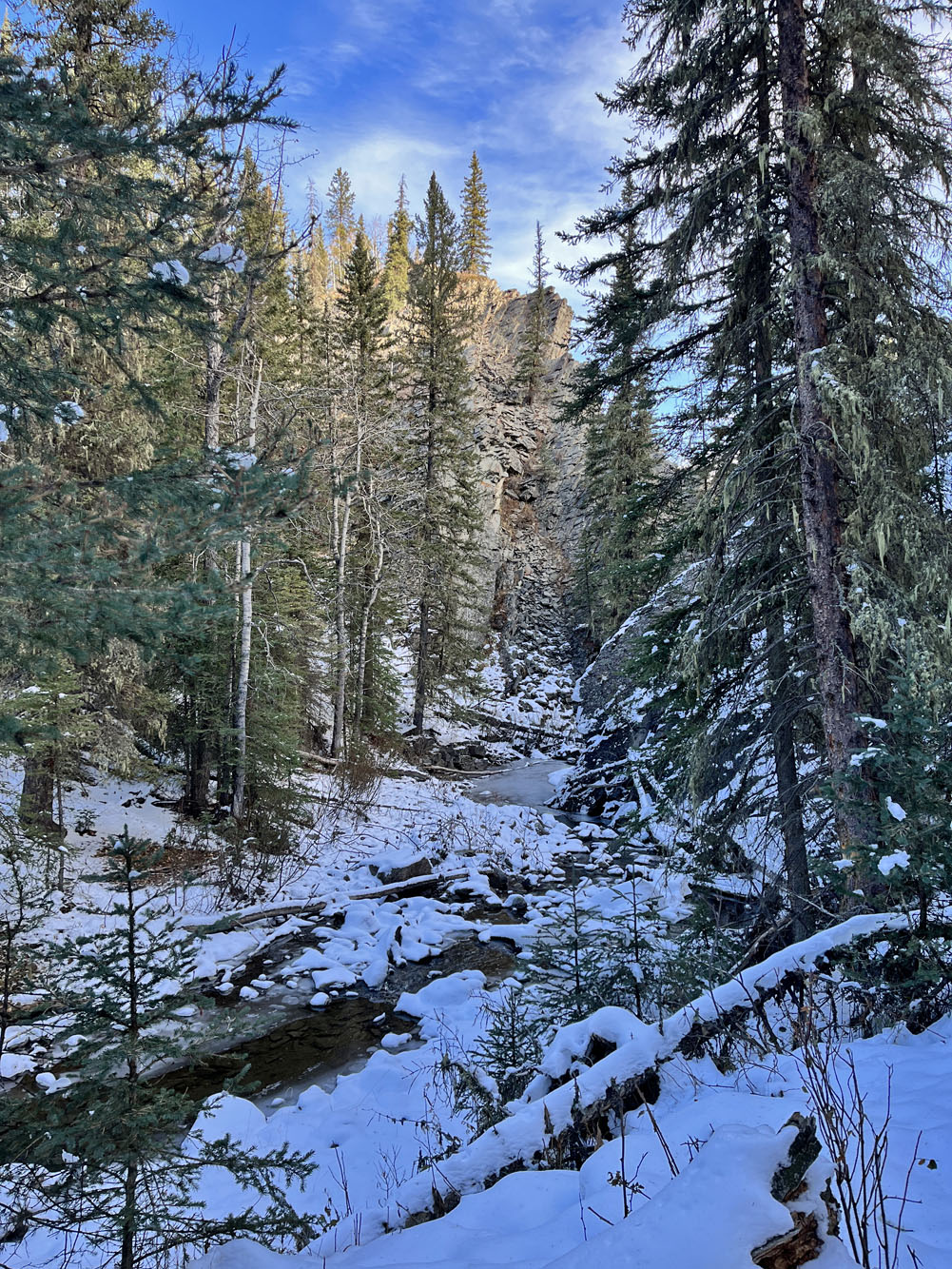
The creek runs through a short canyon. On the way back, we climbed
the bluff above the creek.
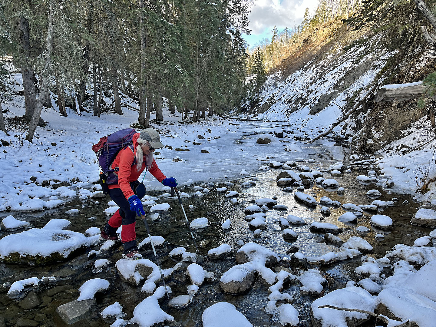 Christine steps across the creek
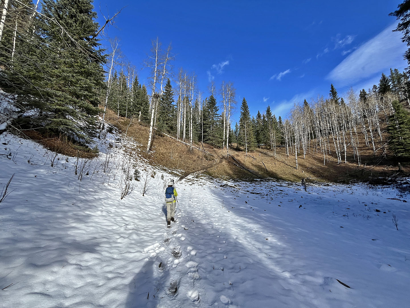 The trail continues on the other side. Note the bear tracks.
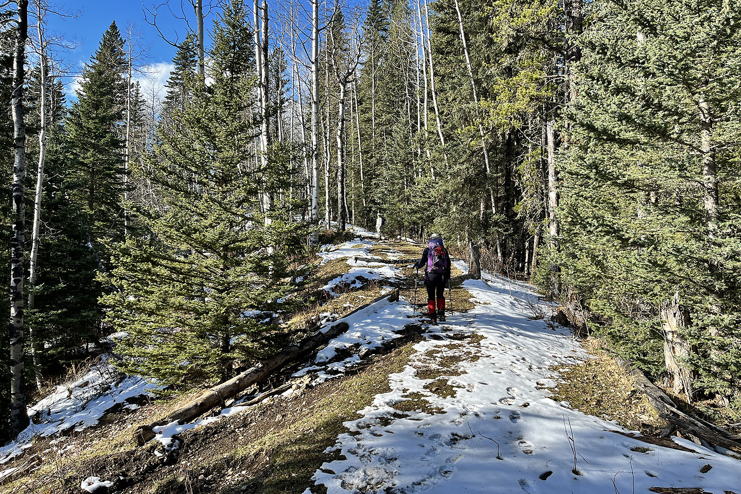 Wolf Creek trail continues straight, but we turned onto the trail leading to the hill
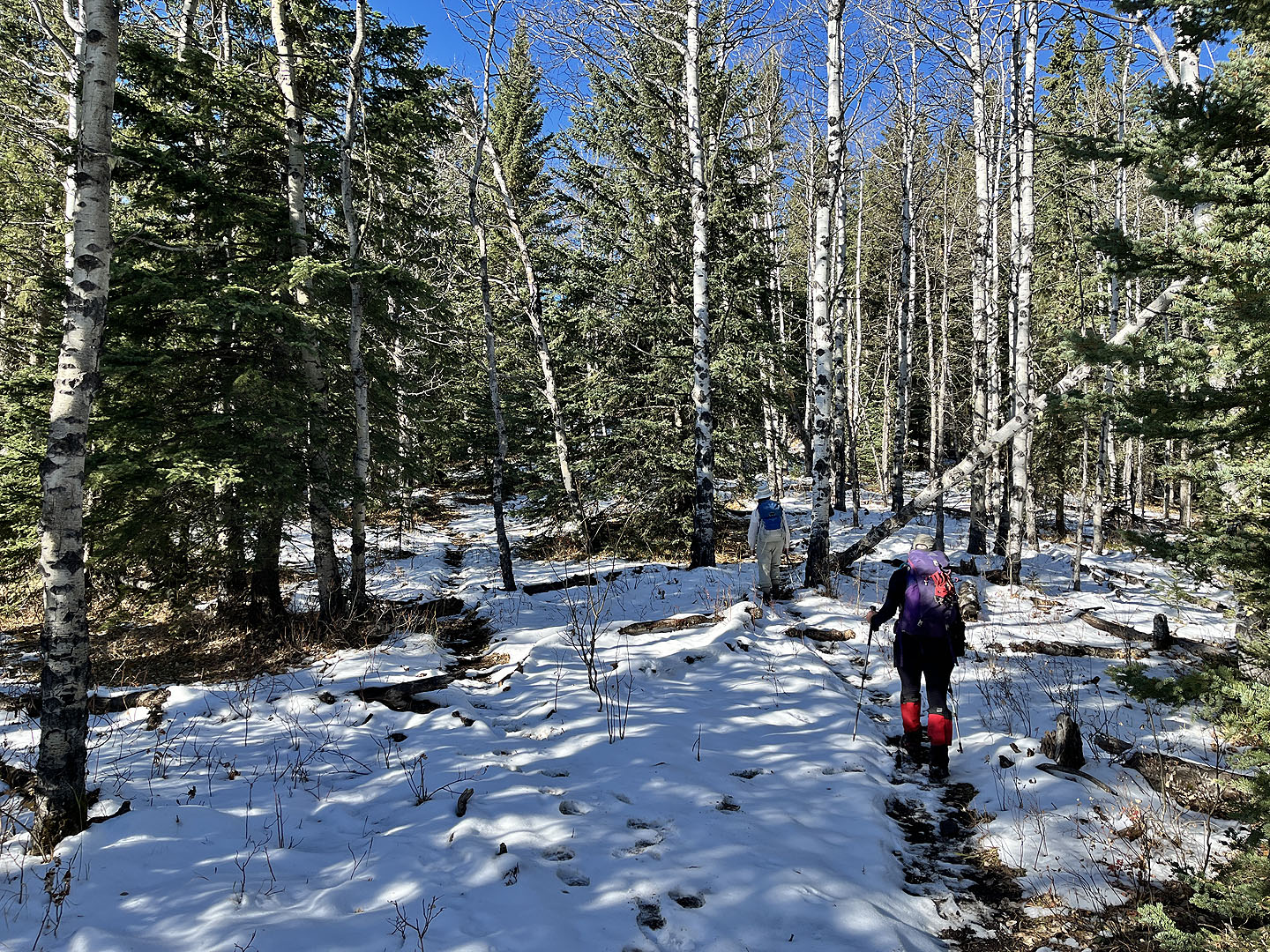 At a fork, we kept right
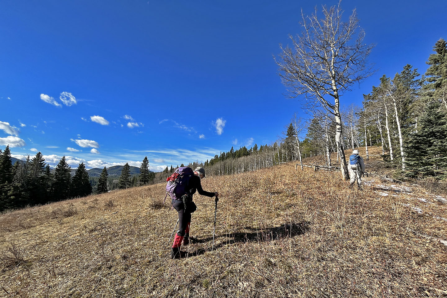 The trail disappeared in this meadow but resumed on the ridgetop
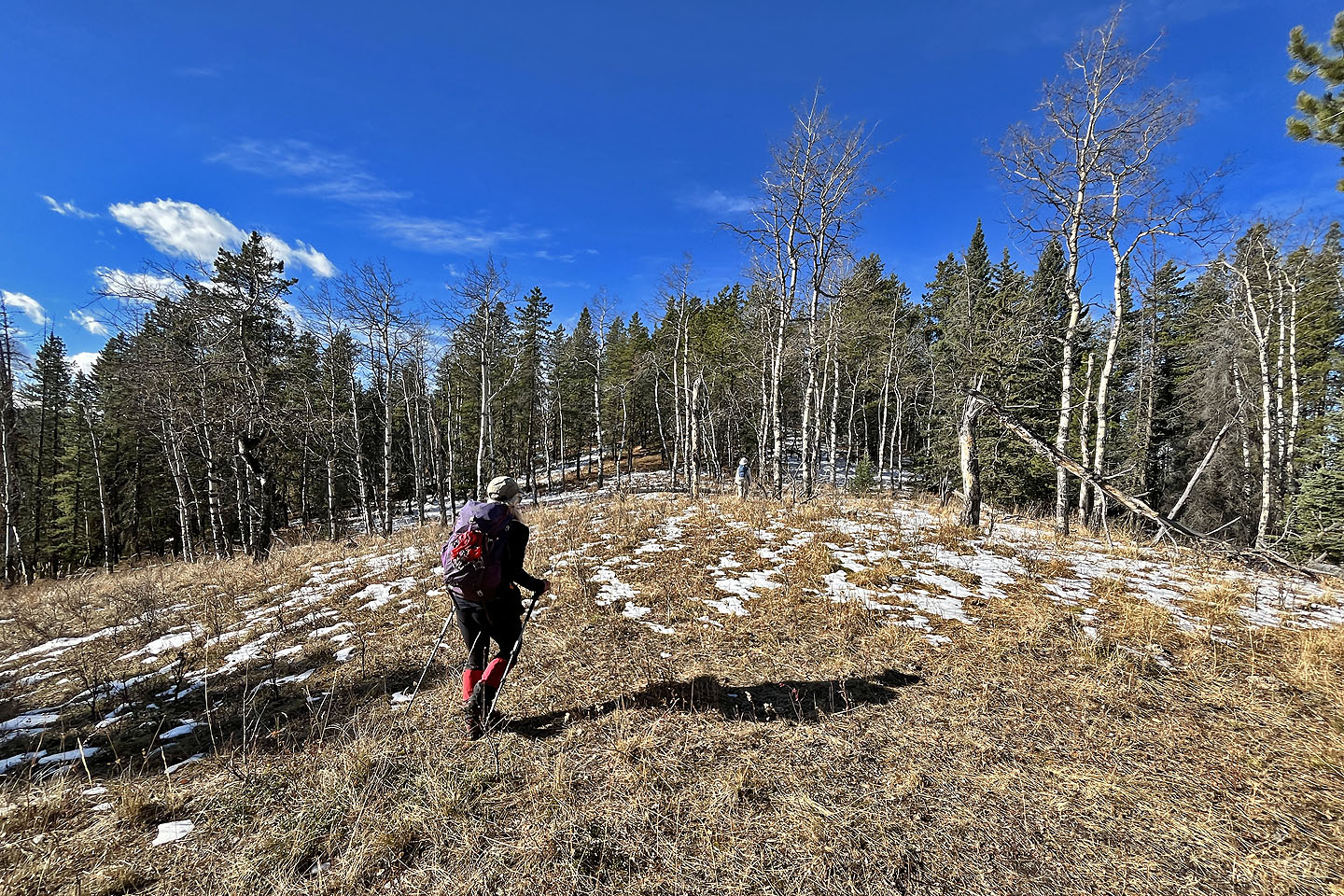 The trail alternates between meadows and forest
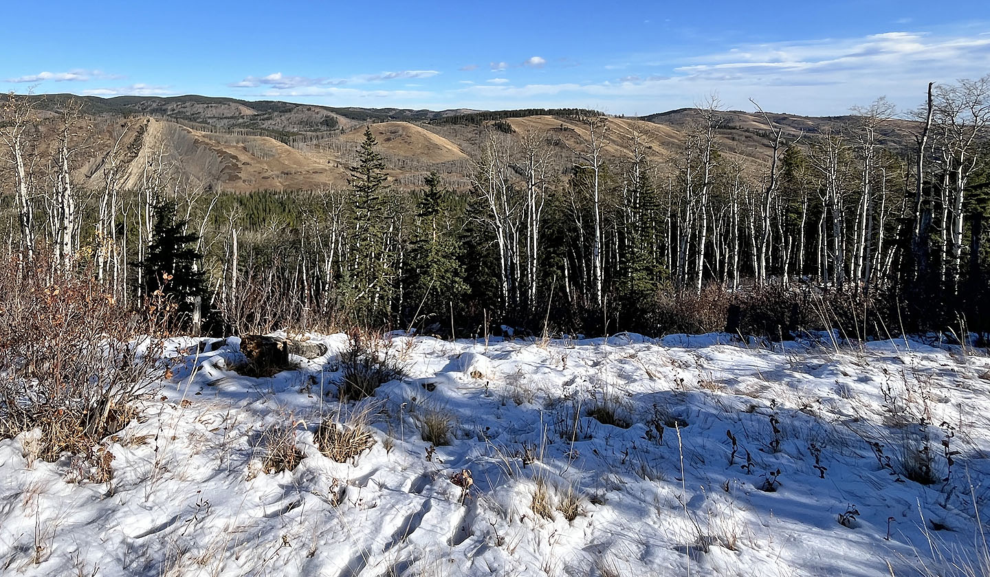 Sandy McNabb Hills
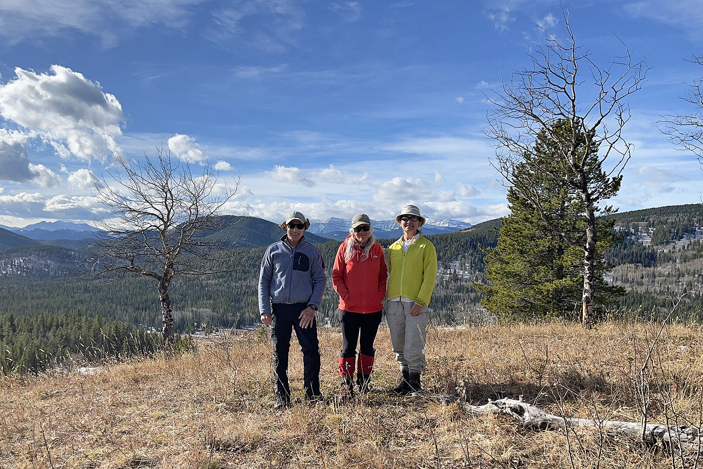 On the summit
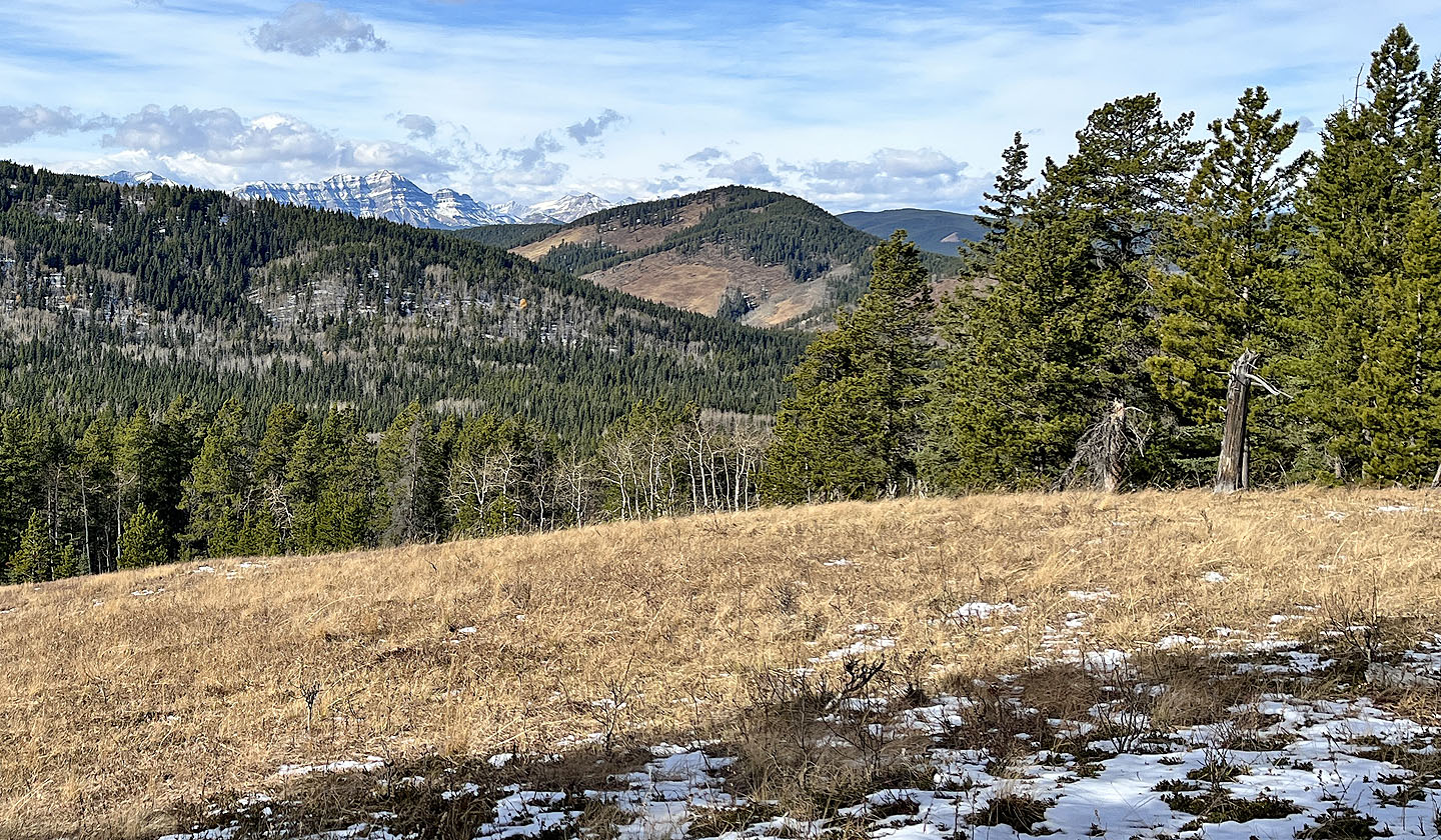 Mount McNab lies west
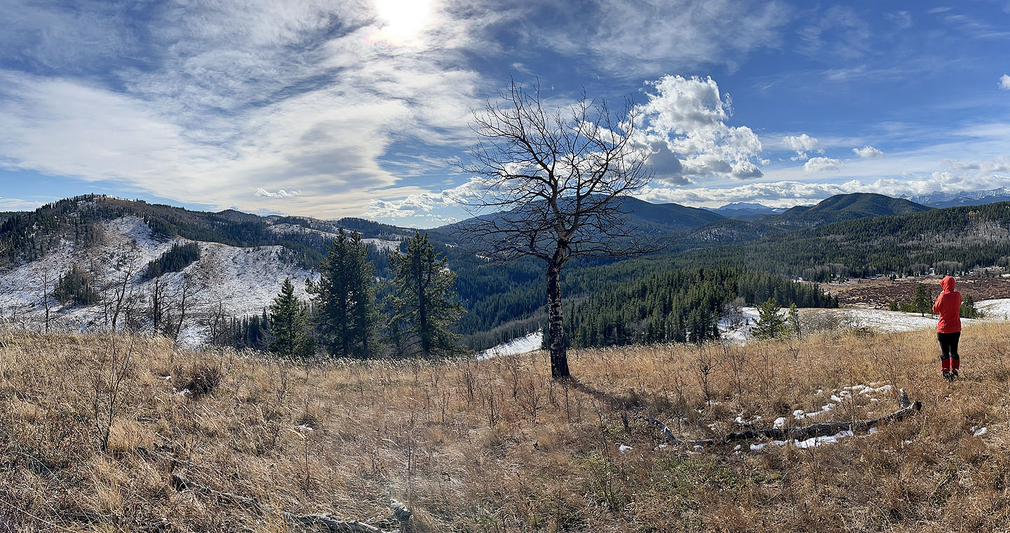 Channell Ridge left, Blue Ridge centre, Mount Dyson right.
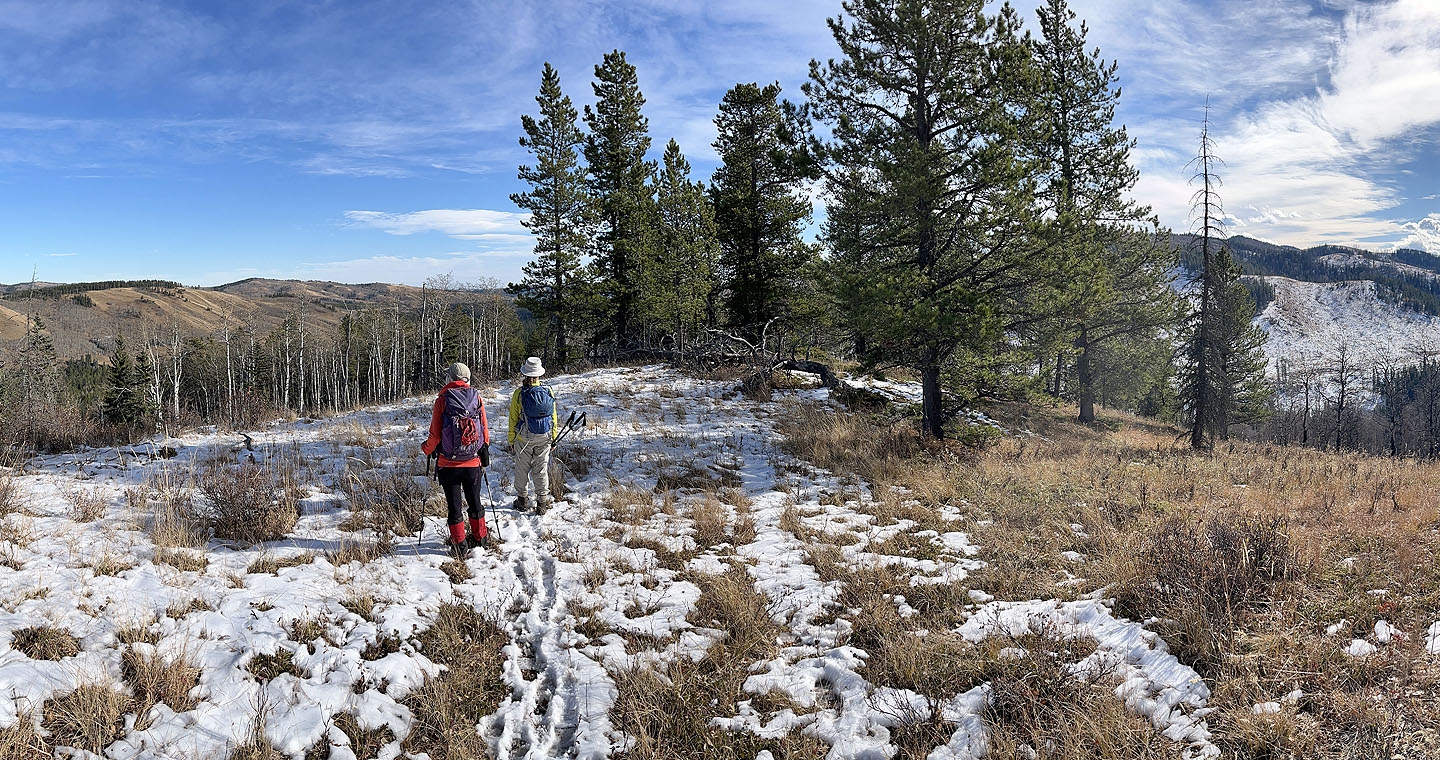 Heading back down
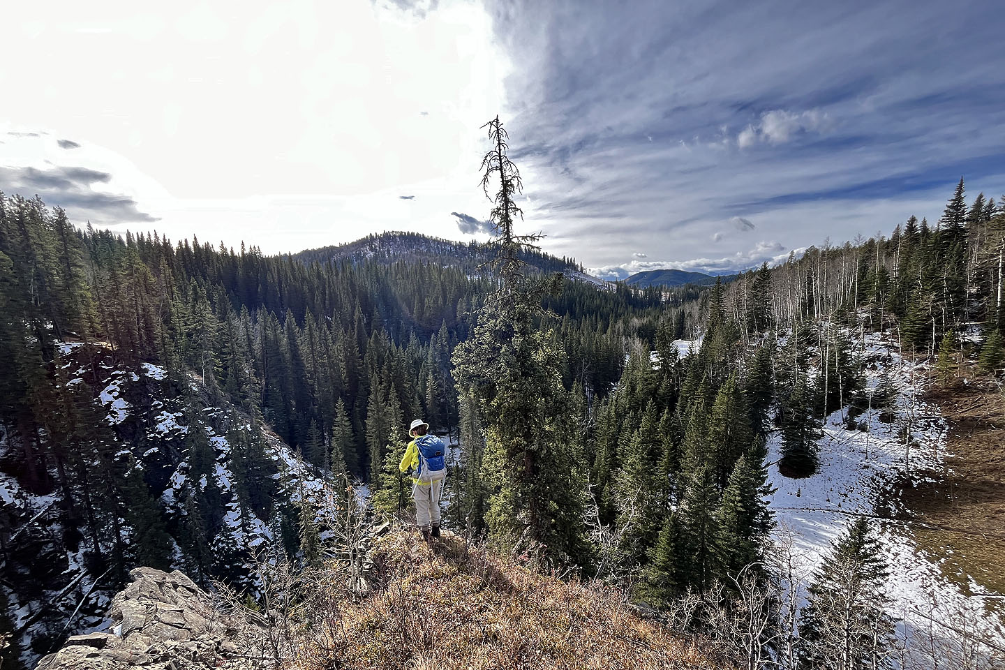 On the way back, we climbed the bluff above Wolf Creek. The trail can be seen right.
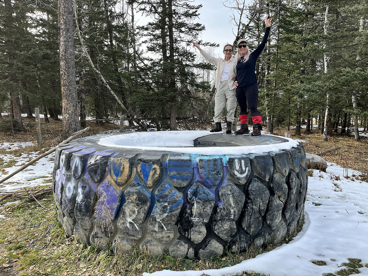 Back at the trailhead, Zora and Christine climb a huge tire
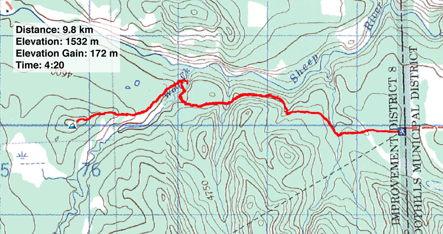 82 J/10 Mount Rae, 82 J/6 Turner Valley
