bobspirko.ca | Home | Canada Trips | US Trips | Hiking | Snowshoeing | MAP | About
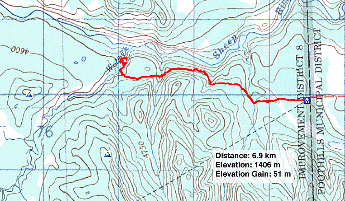
Wolf Creek
Kananaskis, Alberta
June 26, 2024
Distance: 6.9 km (4.3 mi)
Cumulative Elevation Gain: 116 m (381 ft)
For years, I have kept in touch with Gillean and Tony Daffern as they work to keep Kananaskis Country Trail Guide up-to-date. Volumes 1 and 3 of the 5th Edition have been printed, and they are now gathering information for the other volumes. Once or twice a week, they check old trails or explore new ones.
I asked if I could come along sometime, and they suggested I join them on a trail they are adding to Volume 4 called Lower Wolf Creek. They have hiked and GPSed the entire trail a few times, but wanted to check the east end after the logging roads were made unusable as mandated by the Government of Alberta. We would go as far as Wolf Creek. After the creek, according to Gill, the trail climbs a scenic bank above the creek.
From a parking lot on the south side of Sheep River, we passed through a gate and followed a mix of old roads, cutlines and trails. Equestrians, Gill noted, made a "pretty good trail through the first cutblock." After the cutblocks, the trail settles into a stretch of forest.
Such is their respect for trails, that as we hiked, Gill and Tony constantly cleared the trail. Naturally I joined in. All the way there and back, we cast aside dozens of branches and moved several logs off the trail.
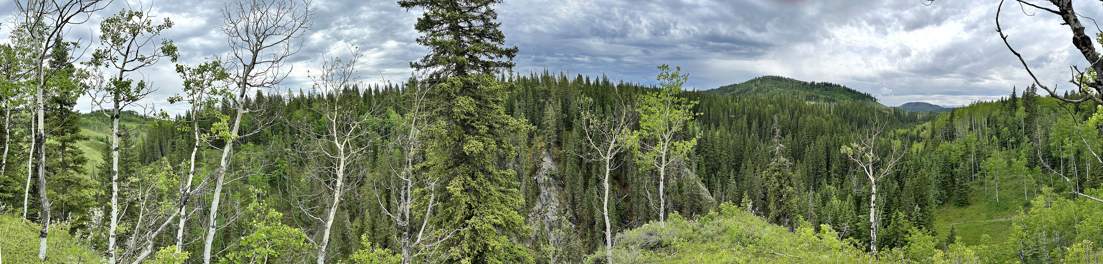
The trail crosses Wolf Creek at a surprisingly pleasant spot. After arriving, we did some exploring. Gill and I crossed the creek to view a little canyon below a bluff. After returning, Gill and Tony stayed behind, while I crossed the creek again and hiked up the bluff. I took a panorama looking east with a view of Channel Ridge.
On the way back, I checked out a nest in an aspen that I had noticed. Since our arrival, a pair of red-tailed hawks circled overhead and kept screeching, seemingly annoyed with our presence. Now I knew why. The hawks were gone now, so I climbed a nearby slope level with the nest. I was too far to make out details and didn't expect to see anything, but I took a few zoom shots. I didn't examine the photos until I joined Gill and Tony back on the other side of the creek. I discovered the nest held an unfledged hawk or eyas.
The return hike was unremarkable, but then this is not an exciting trail, at least not east of Wolf Creek. However, it merits consideration as an alternative approach for nearby Channel Ridge or Wolf Creek Hill. Unlike the approach from Sandy McNabb Recreation Area, Lower Wolf Creek trail avoids wading Sheep River or waiting until it freezes over.
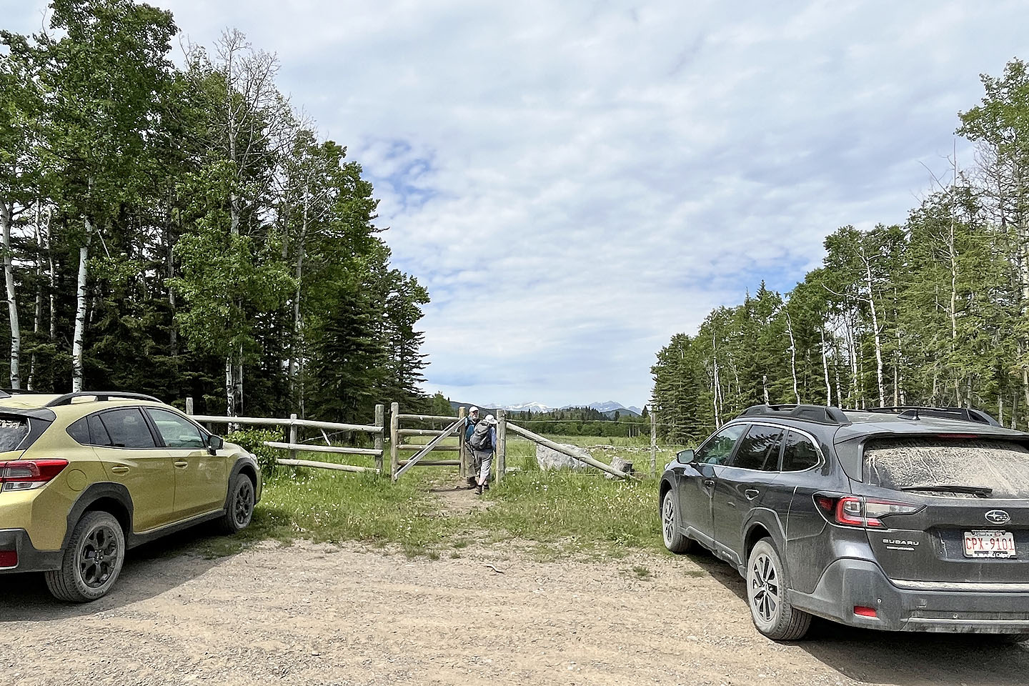 Tony and Gill at the trailhead
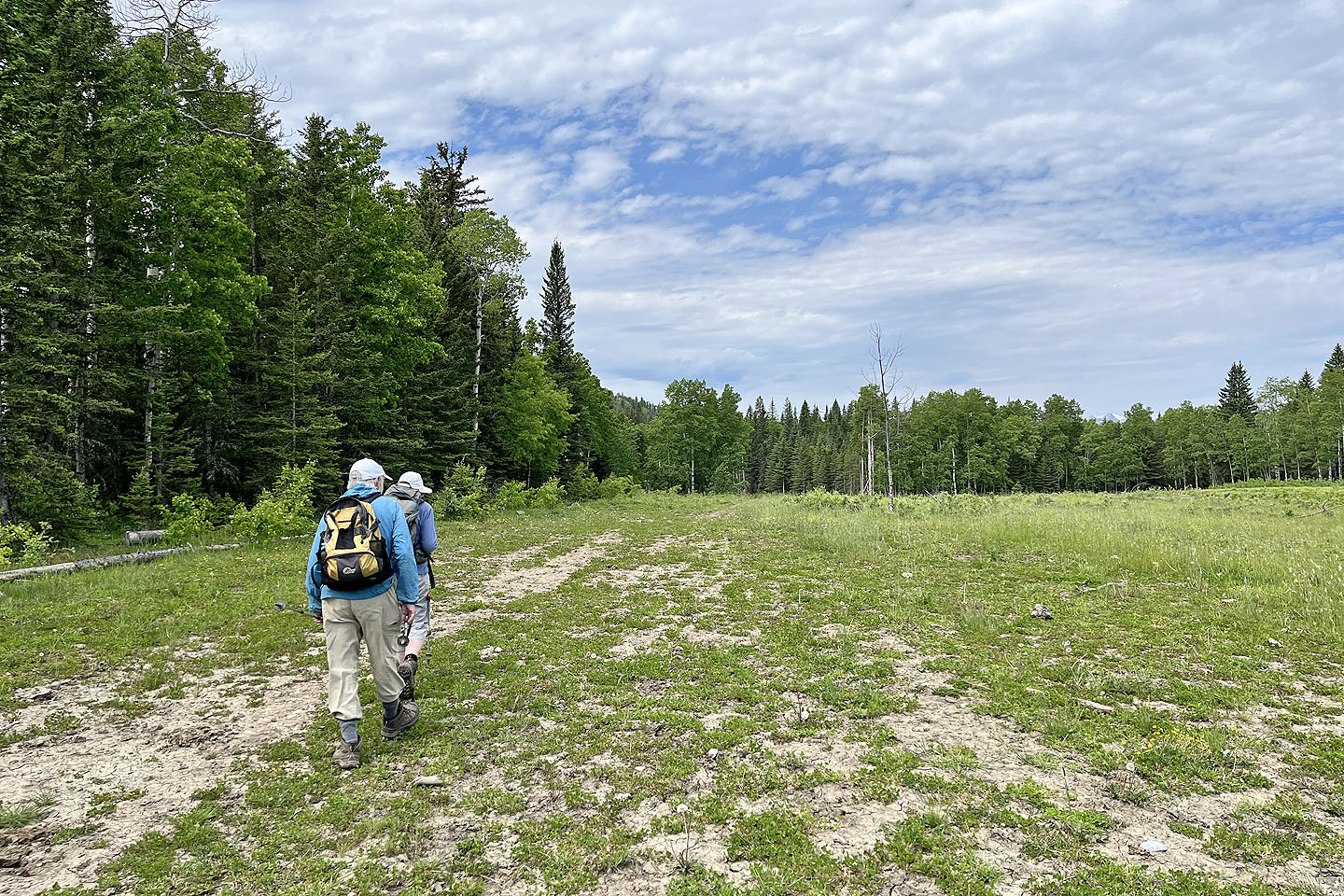 The trail immediately crosses a meadow
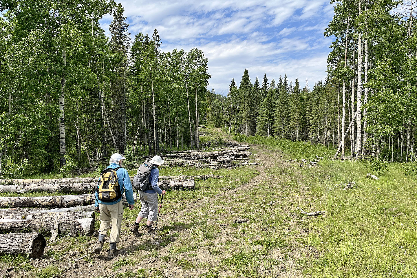 After entering the forest, we passed piles of logs
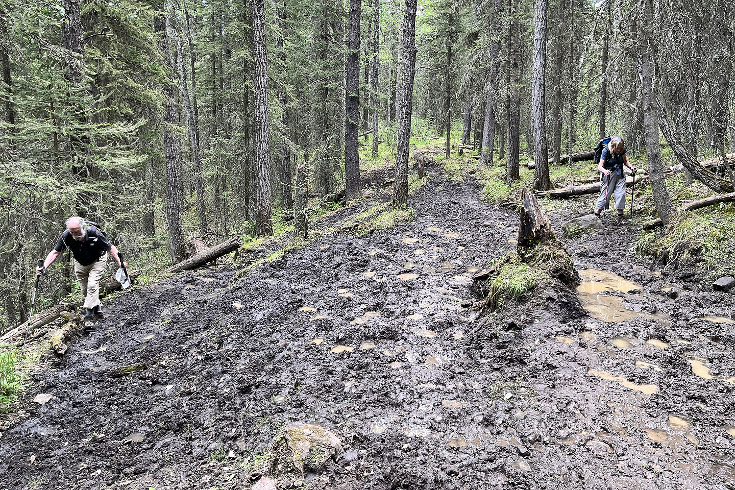
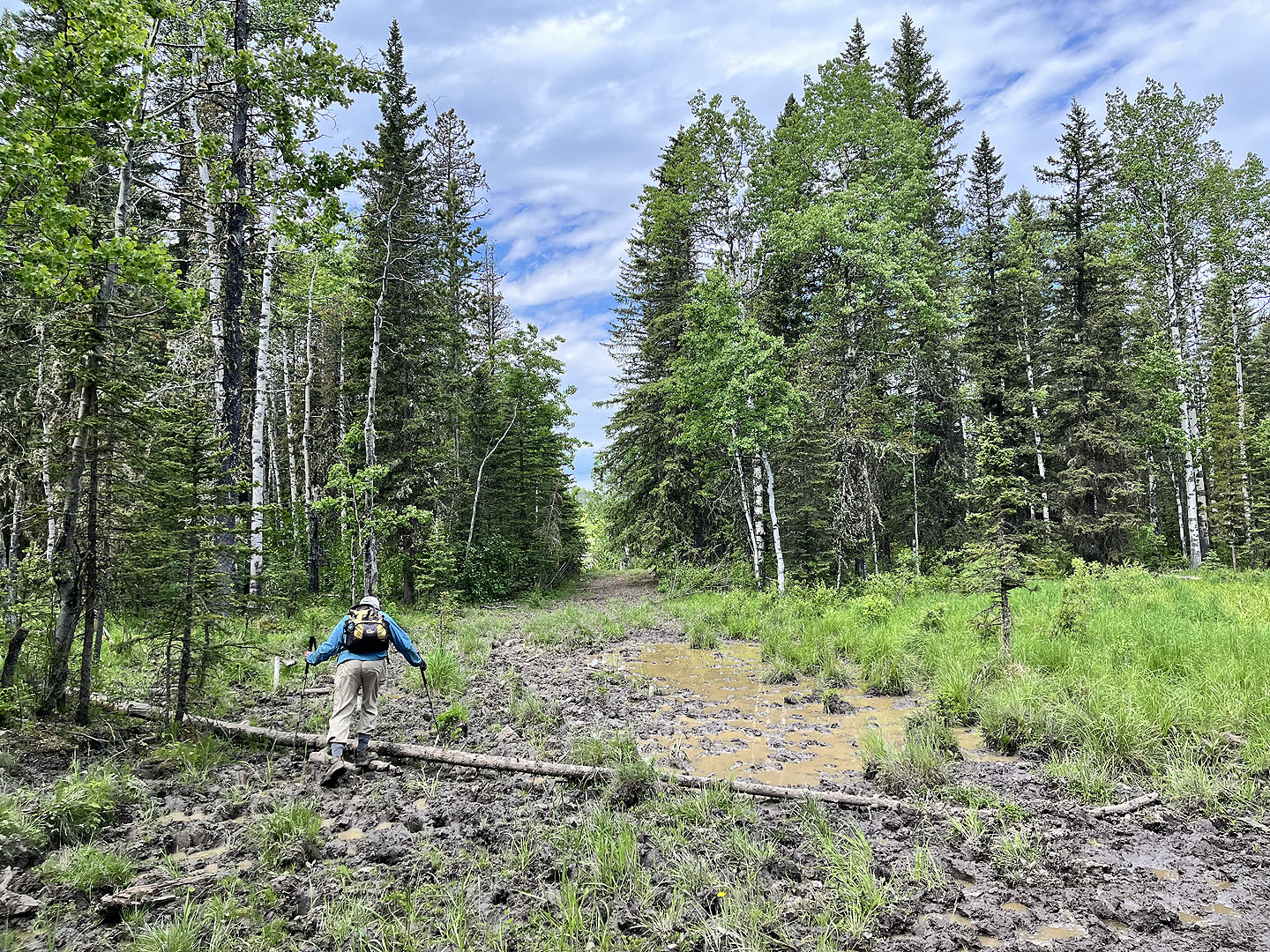 We encountered a few wet, muddy sections
 The trail drops down to cross the first of a few side streams
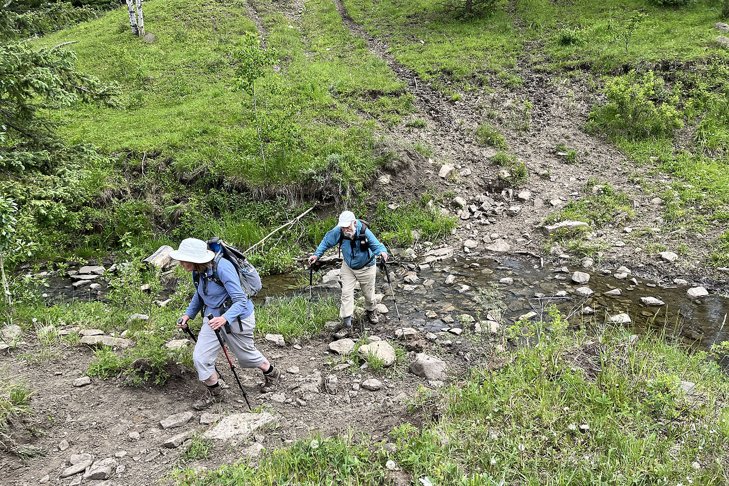 The first stream presented no problems, but others were a bit more difficult
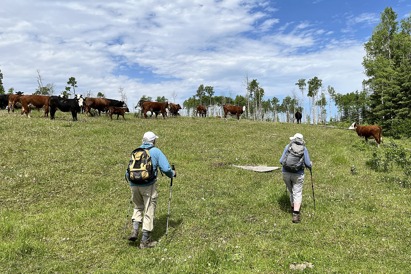 Cows fled when we invaded their pasture
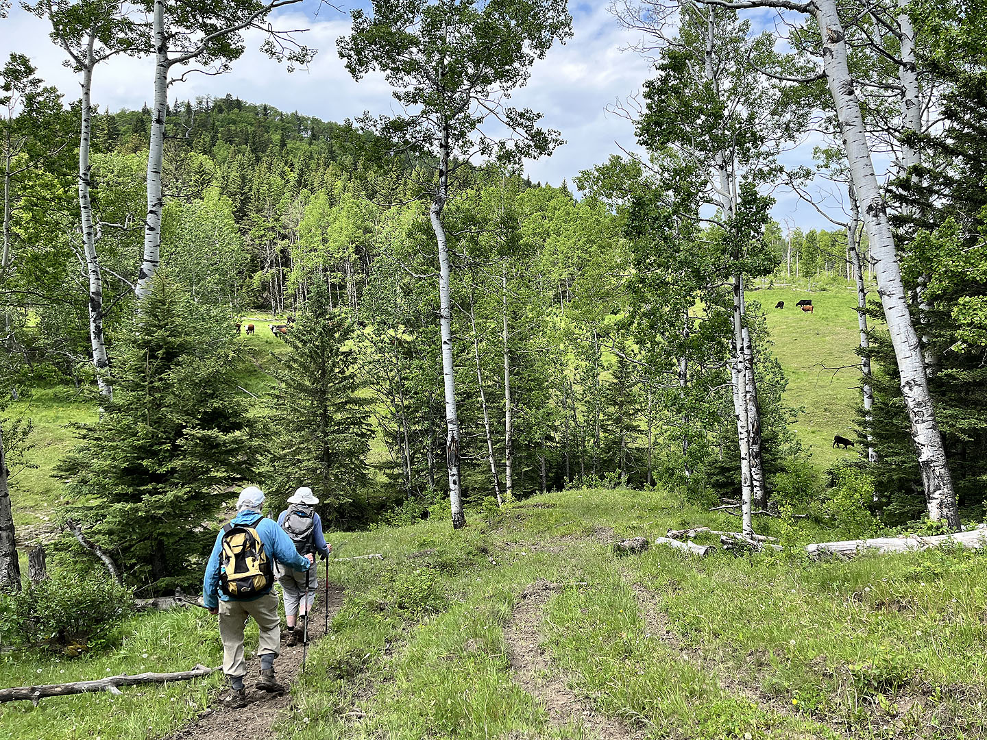
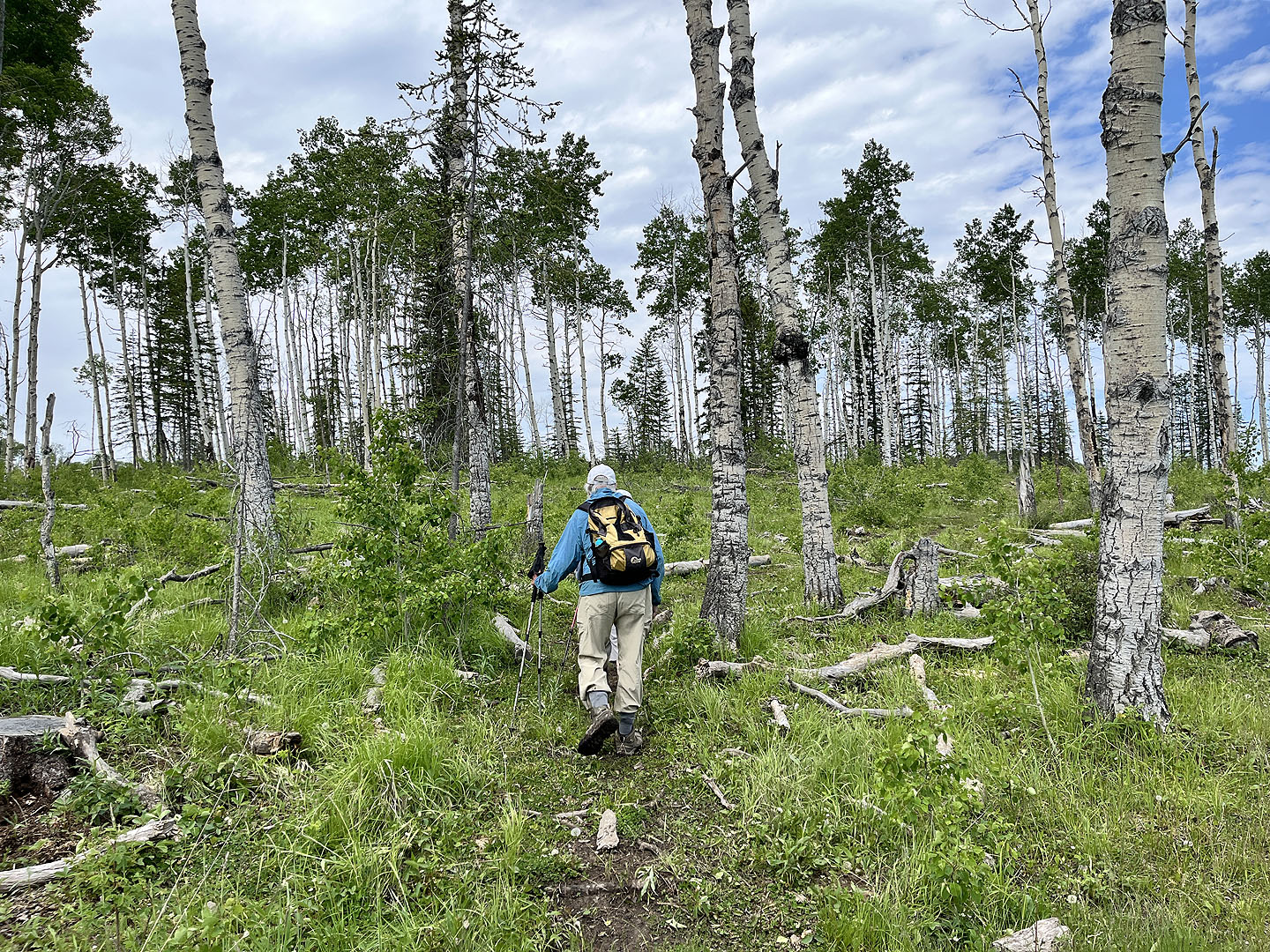 After the pasture, we passed through a thin stand of aspens
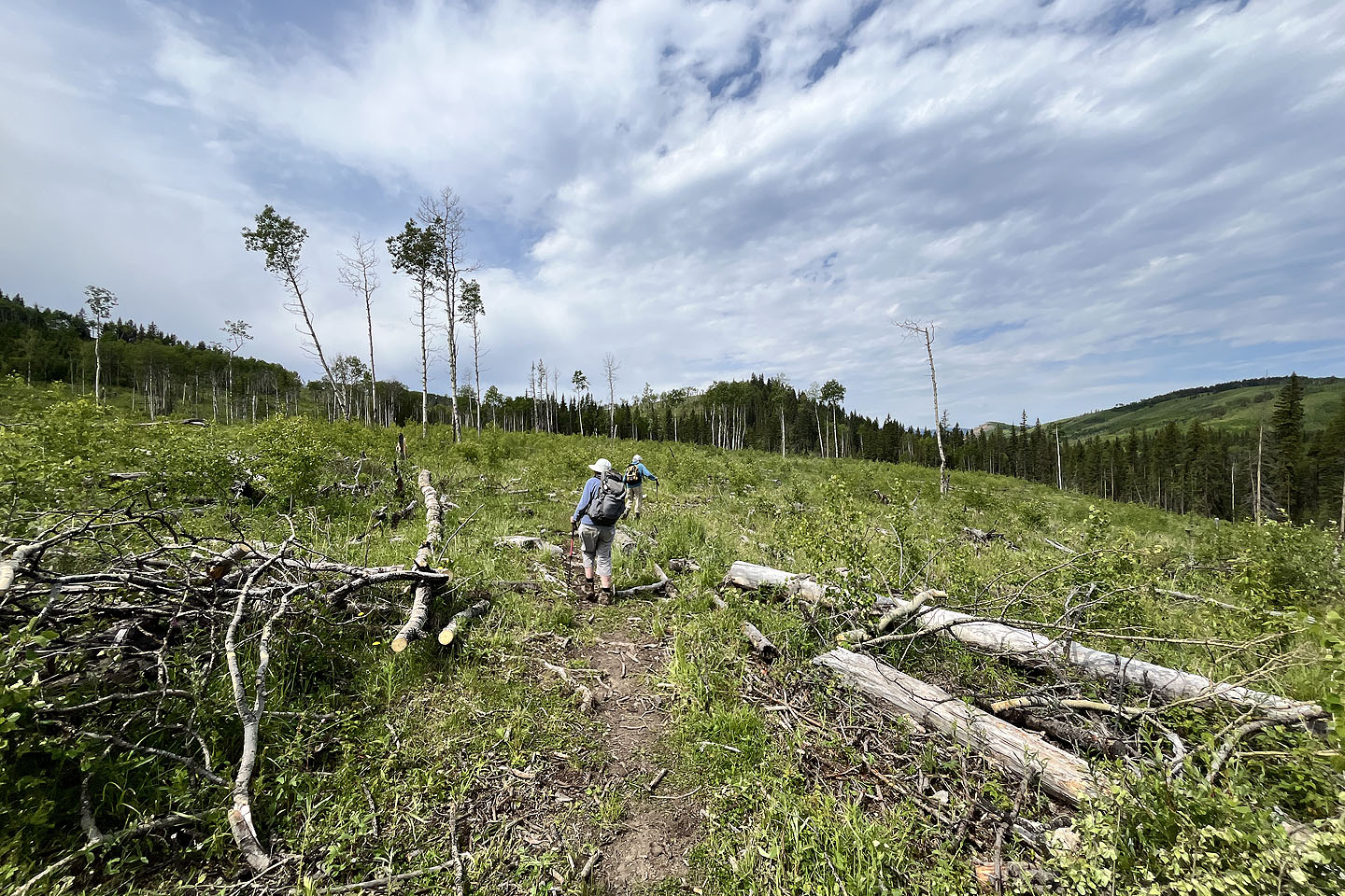 The trail crosses a cutblock. On the right are Sandy McNabb Hills (mouse over for a close-up).
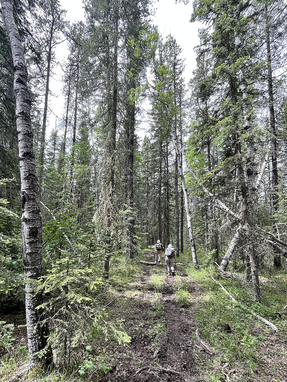
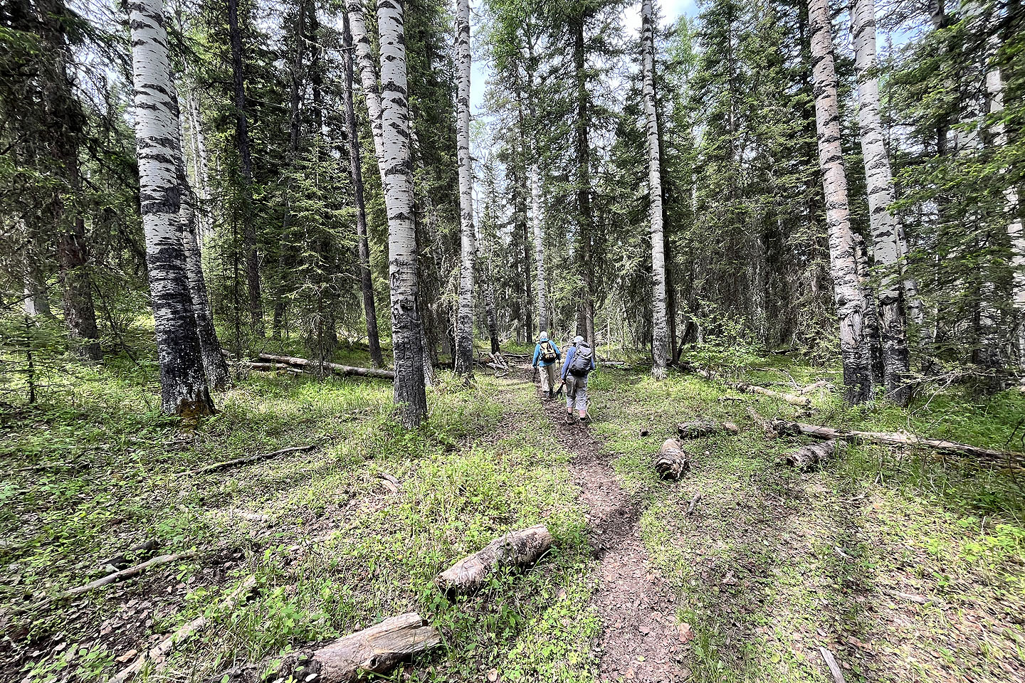 Back in the forest
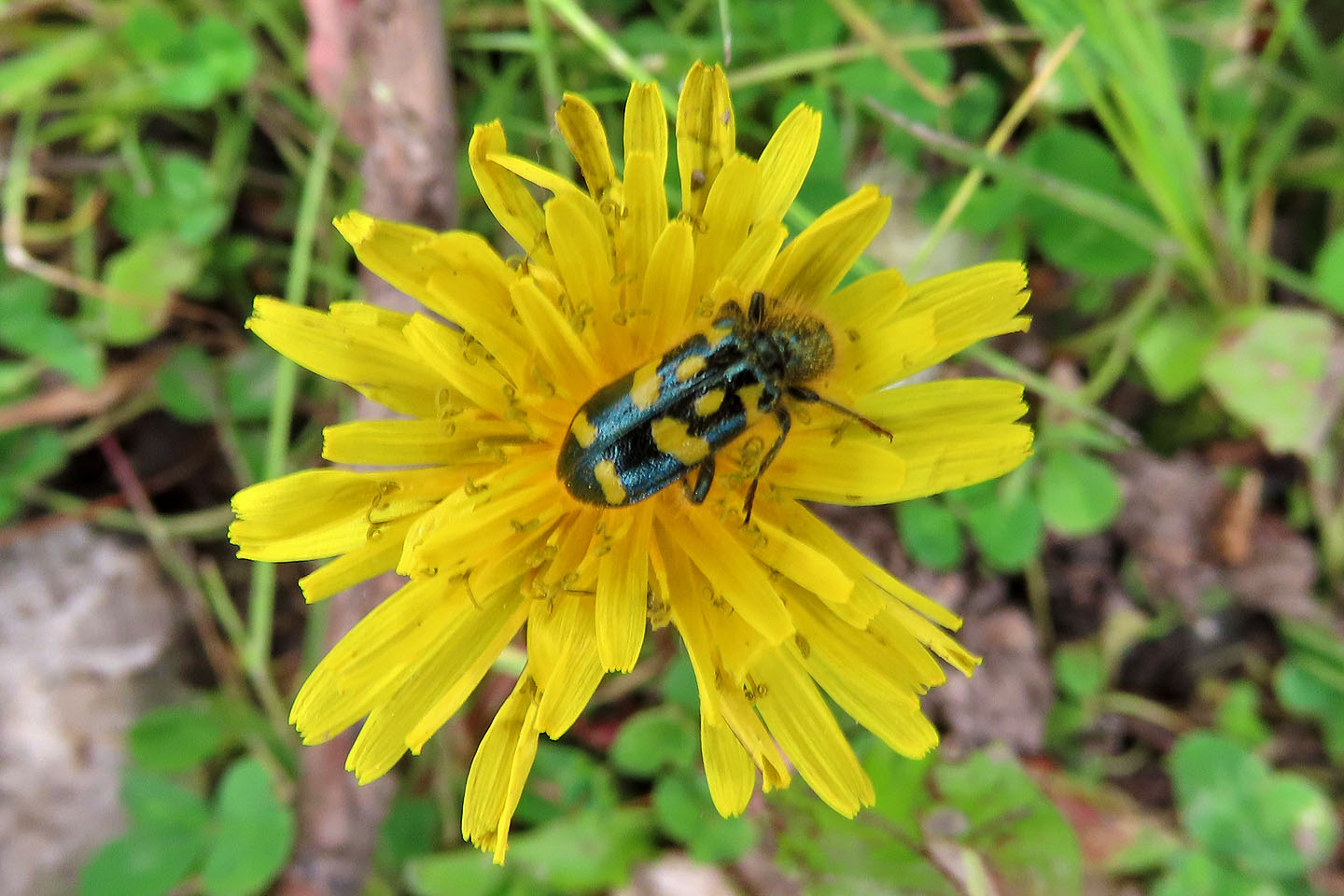 A false dandelion attracts a beetle
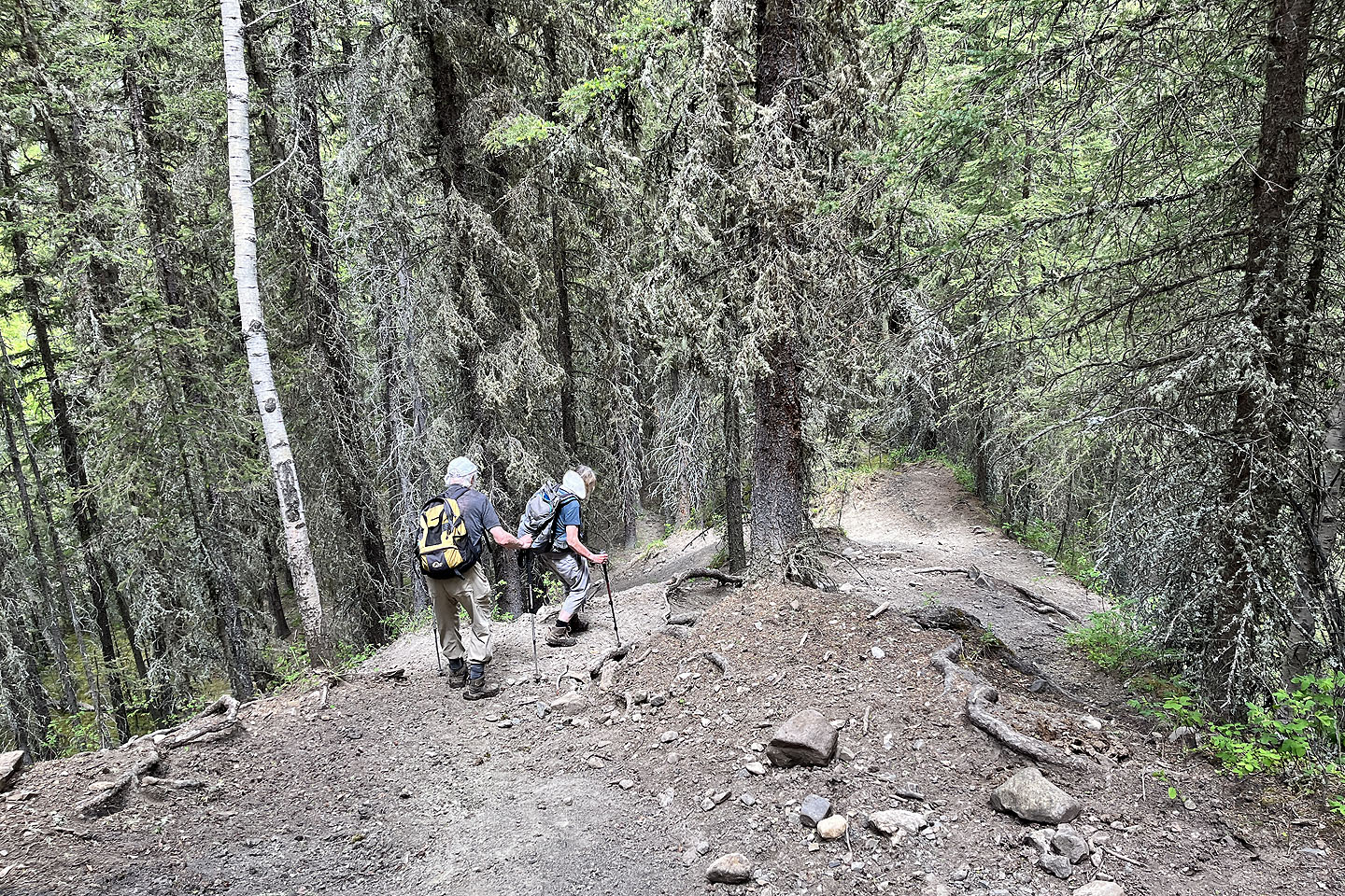
 We skirted the edges of another muddy section
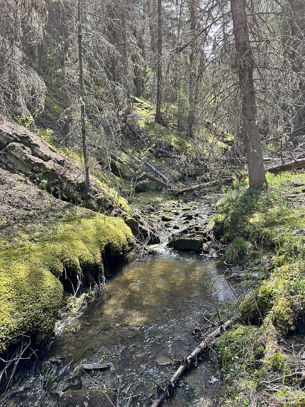
Looking up one of the side streams we passed
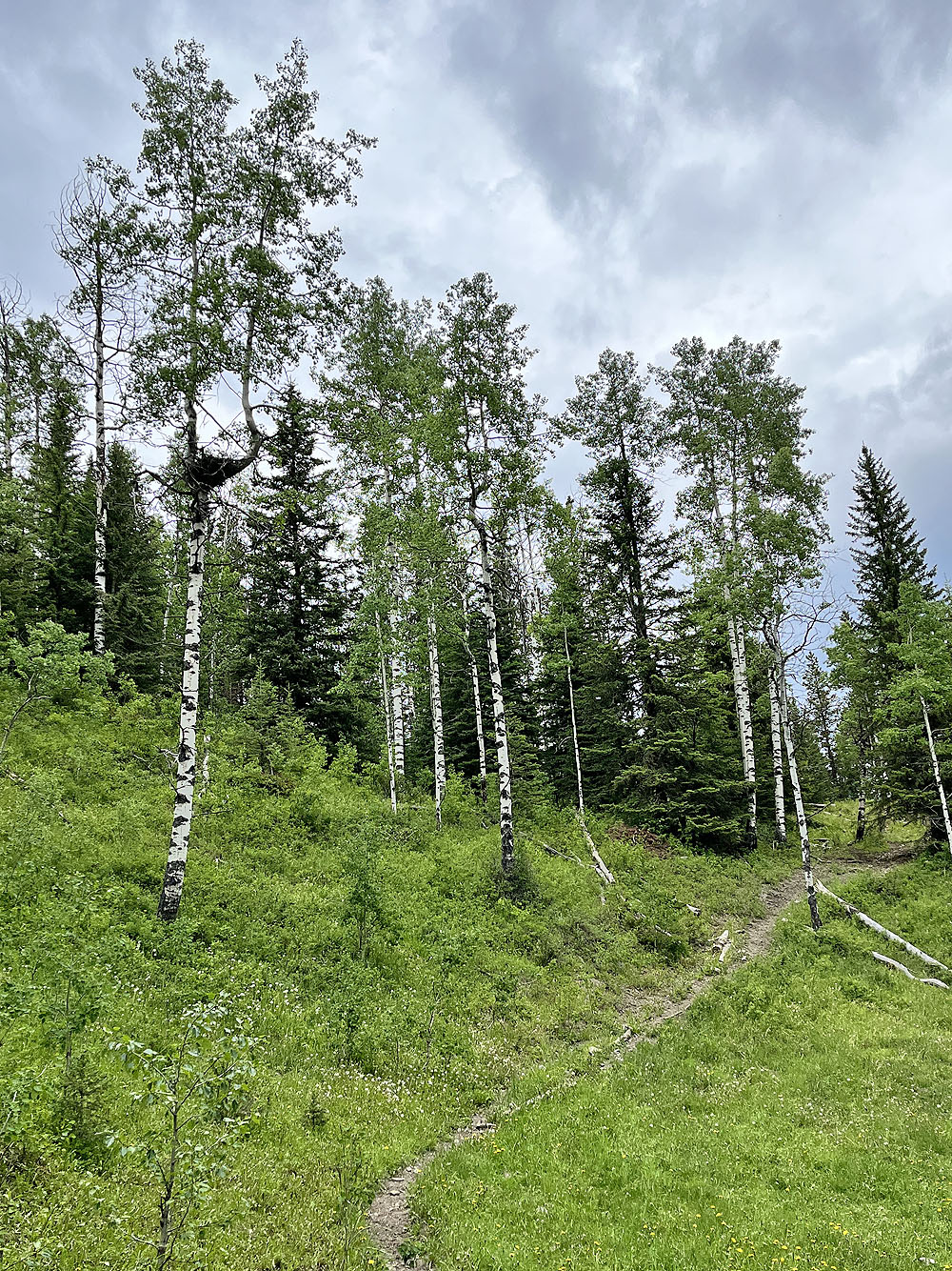
Most of the trail was dry
 The trail drops down to Wolf Creek
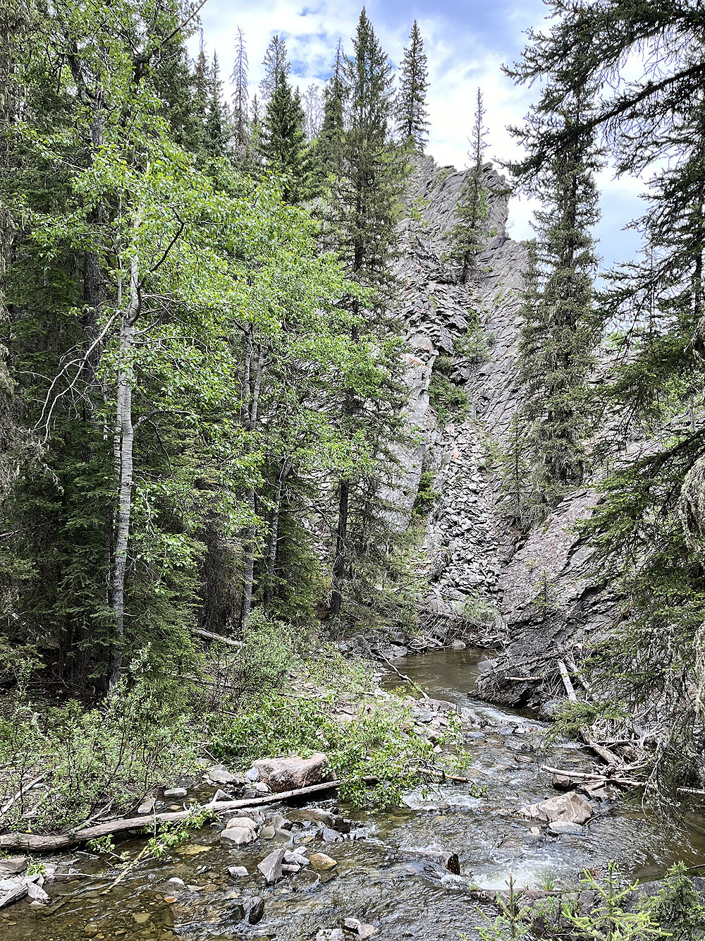
I climbed the bluff above Wolf Creek
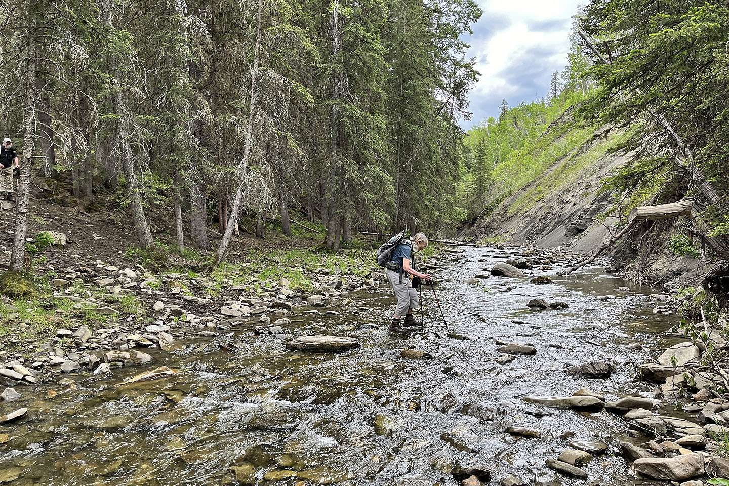 Gill crosses Wolf Creek
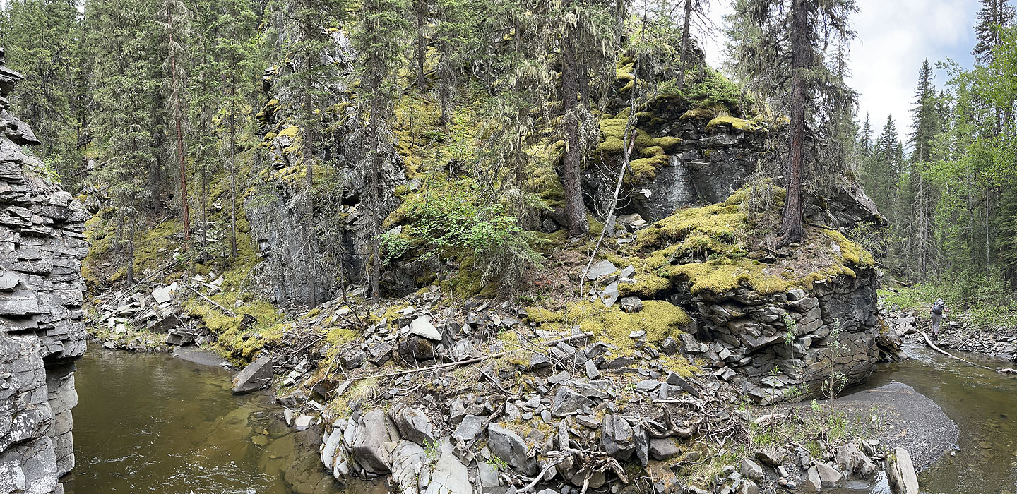 We took a look at the creek below the bluff. Gill appears on the right, heading back.
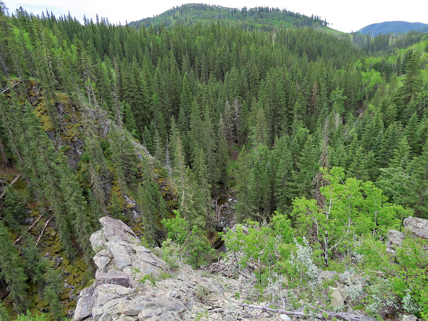 Looking down from the bluff. Tony appears in the tiny clearing in the centre (mouse over).
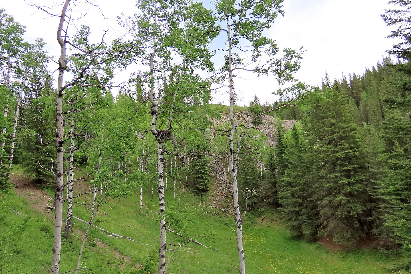
A hawk nest was in an aspen left of the trail
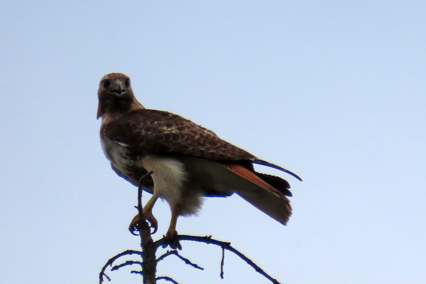 One of the red-tailed hawks on a tree
 I climbed a slope to view the nest. Behind is the bluff I ascended.
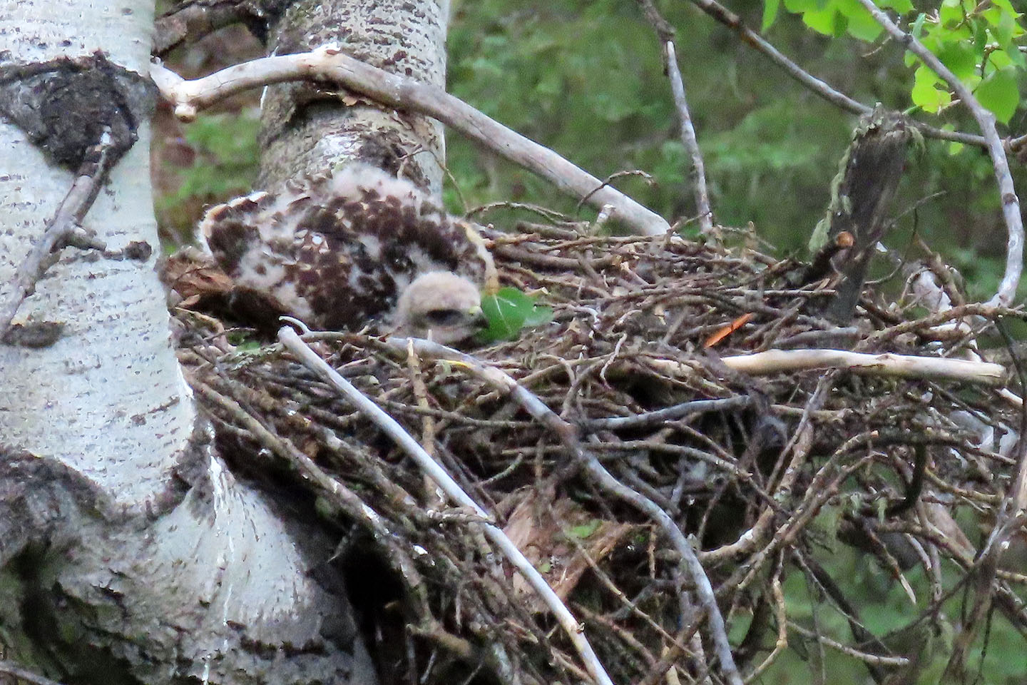 An eyas in the nest
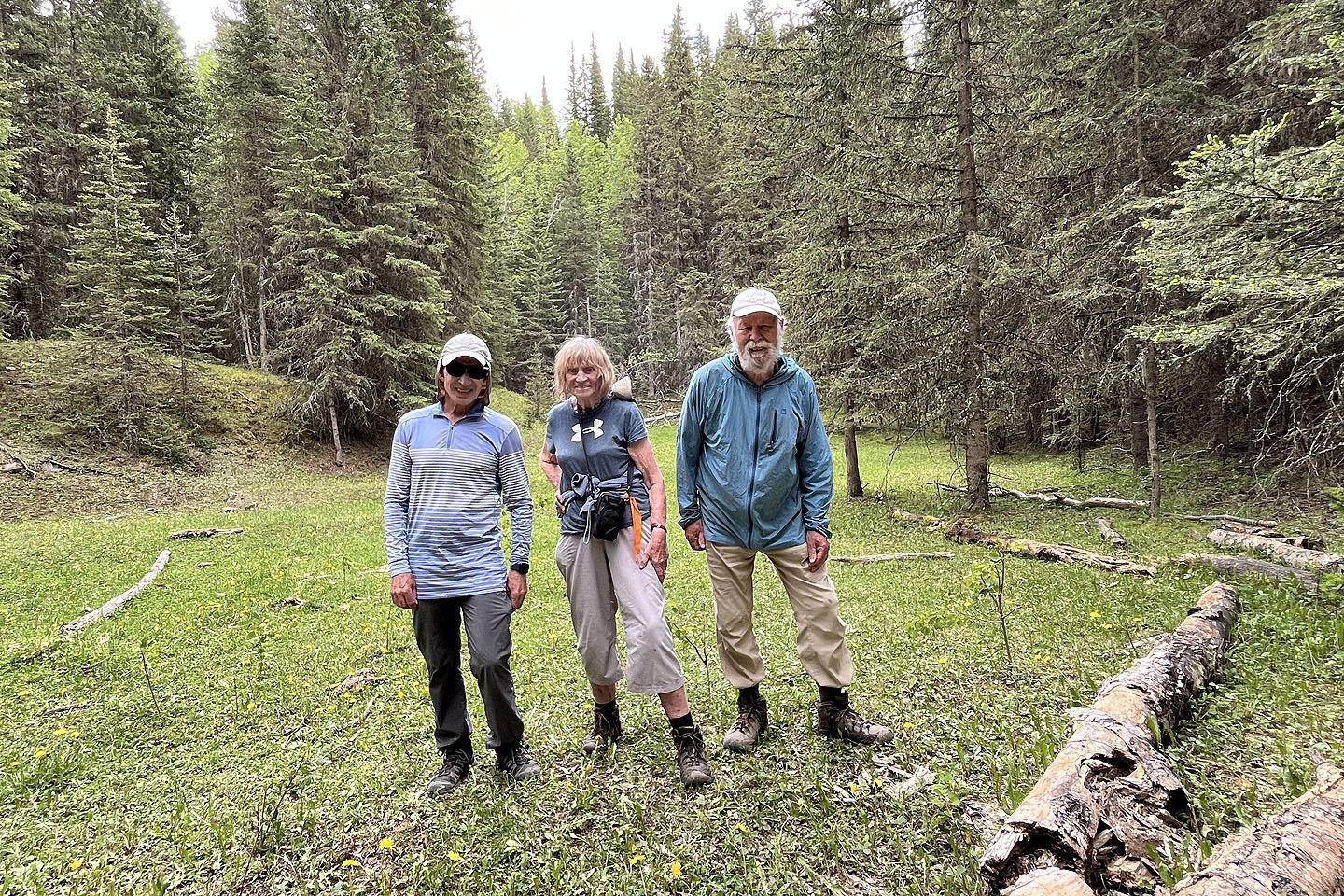 I posed with Gill and Tony in a meadow by Wolf Creek
82 J/9 Turner Valley