bobspirko.ca | Home | Canada Trips | US Trips | Hiking | Snowshoeing | MAP | About
Mount Dyson
Kananaskis, Alberta
February 15, 2015
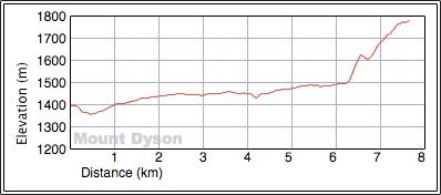
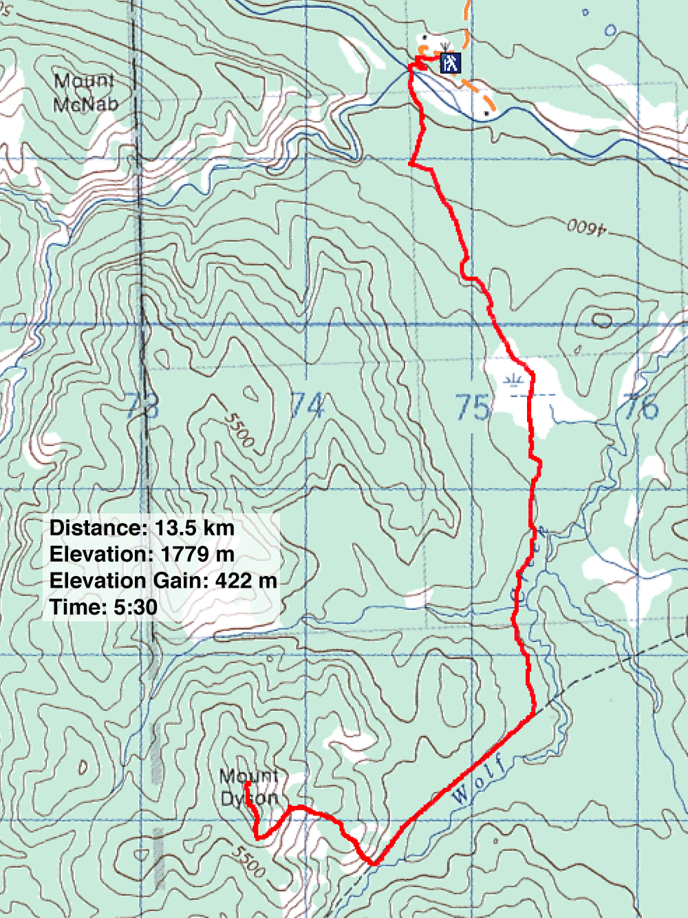
Distance: 15.2 km (9.4 mi)
Cumulative Elevation Gain: 525 m (1722 ft)
Prior to winter, Sonny had suggested snowshoeing Mount Dyson, a small mountain in the foothills. One advantage of doing it off-season was crossing Sheep River when it was frozen over rather than trying to ford it when water was flowing. But when winter arrived, it turned out to be unusually balmy, and there was no need for snowshoes. For us this would be a hike, albeit on an icy trail.
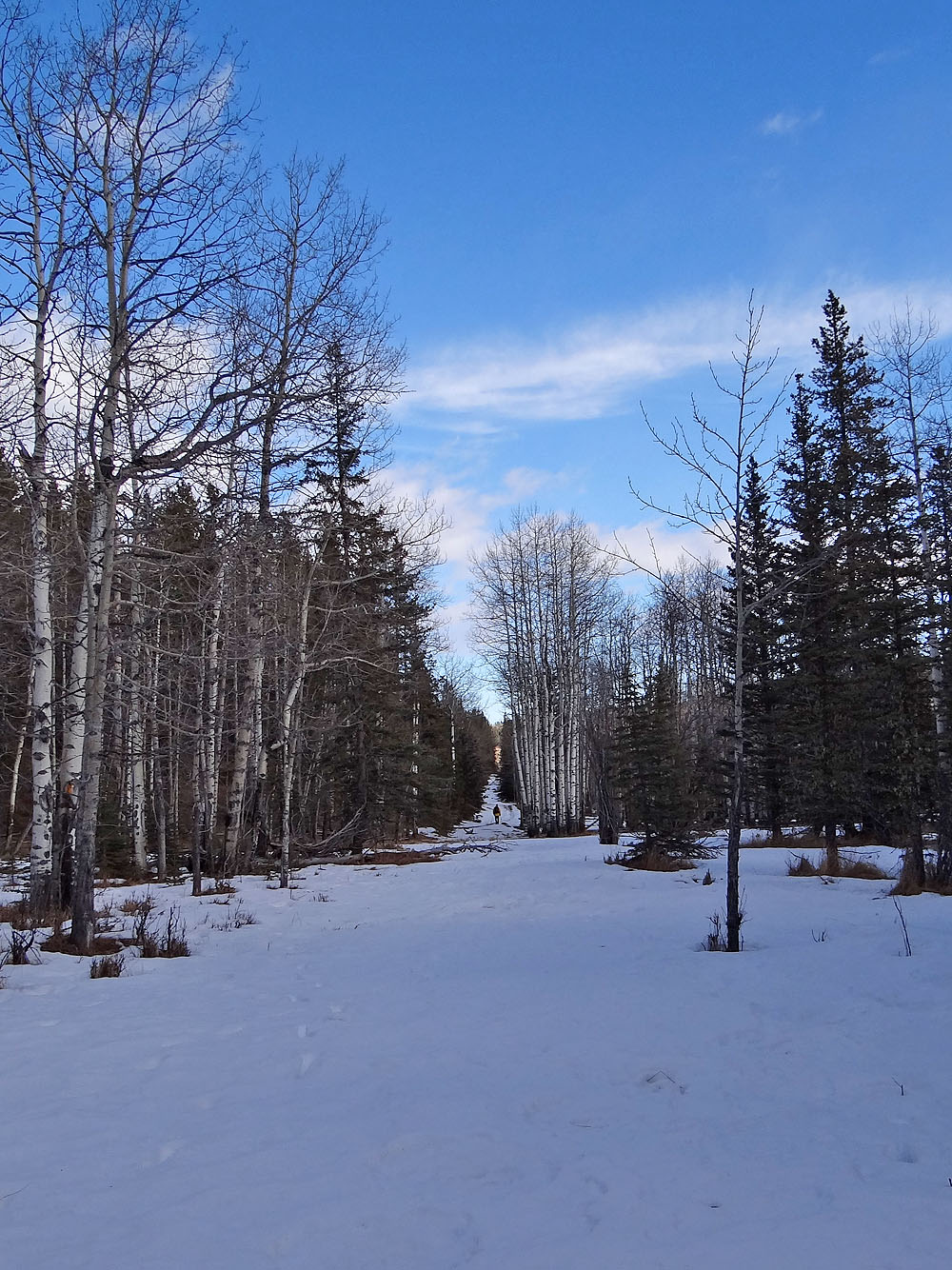
From the parking lot, we made our way 40 m down to Sheep River. After crossing the river, we picked up Wolf Creek trail on the other side. Ice covered much of the path, but travel was often easier on the hard-packed snow lining it. We followed the trail, deviating only to take a shortcut across a frozen marsh. The trail eventually runs beneath the grassy southeast slopes of Mount Dyson where we began our ascent.
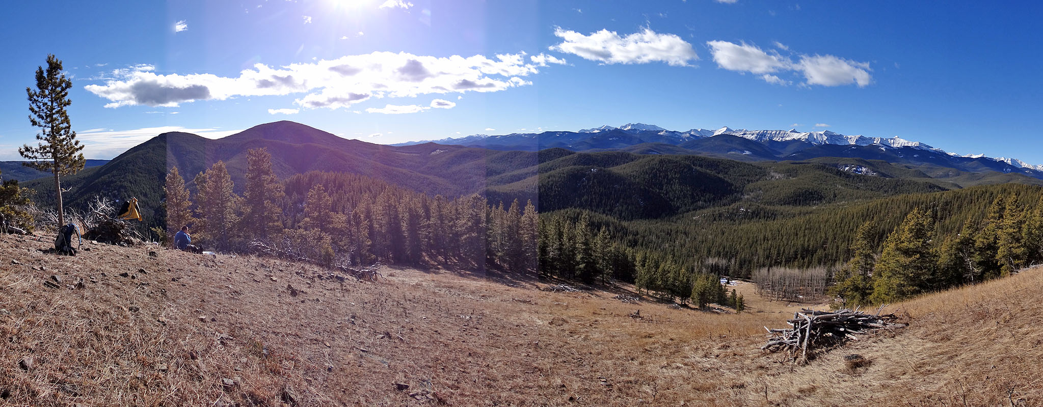
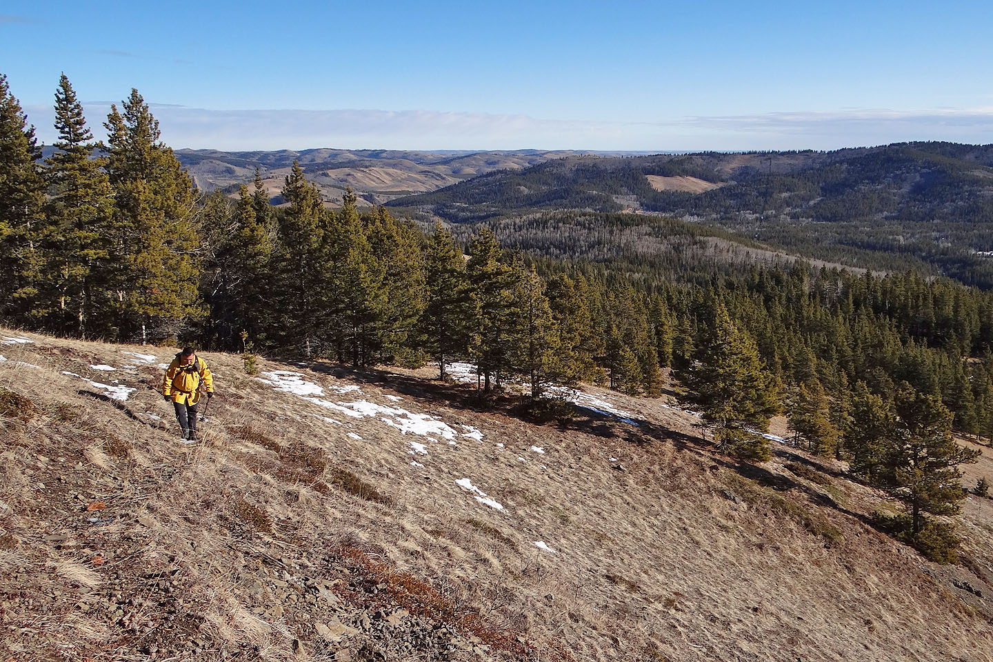
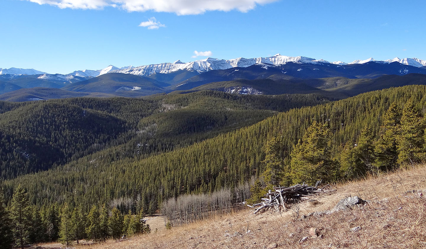
This was the steepest part of our trip, but the effort put us on an open ridge where we could plan our next move. We faced open slopes topped with trees; even the summit was treed. We followed the boundary between the grass and the trees which traced a curve around to the backside. We paused to take in the view west before diving into the trees to snag the uninspiring summit. There was no reason to stick around on top, so we backtracked to a viewpoint. Over lunch, we tried to identify the distant snow-covered peaks scintillating under the sun but failed to get them all. Then we headed back, thankful that the afternoon sun hadn't softened the snow. There would be no post-holing on this trip.
Mount Dyson is unlikely to garner much interest in any season, but it's probably better suited as a winter objective if there is little snow. And it would be nice if there was plenty of sunshine!
KML and GPX Tracks
Sonny's Trip Report
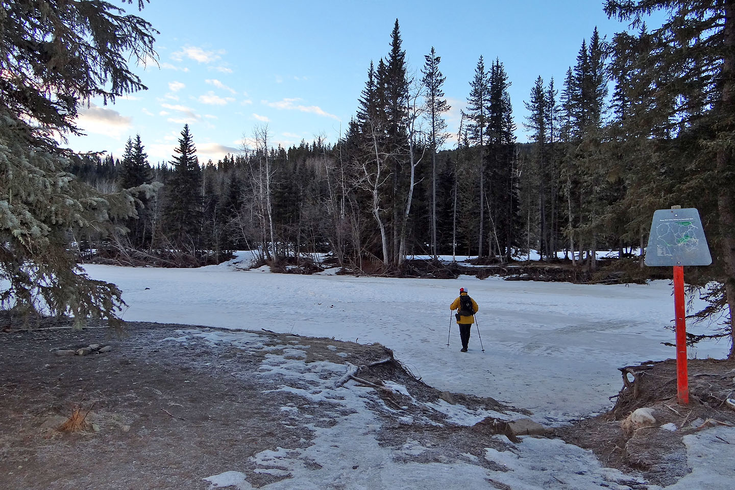
Crossing Sheep River
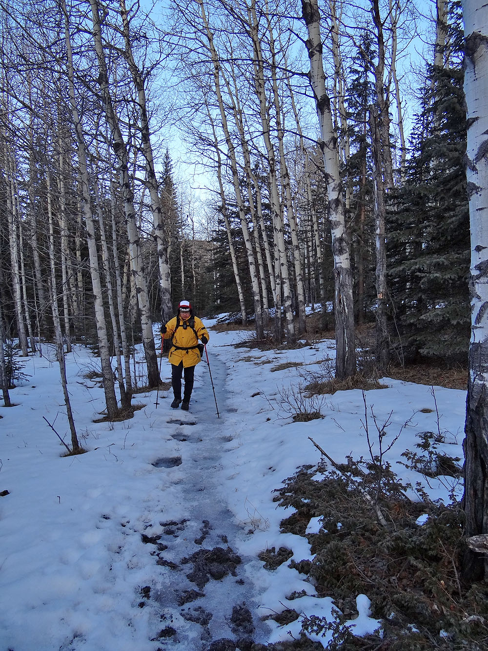
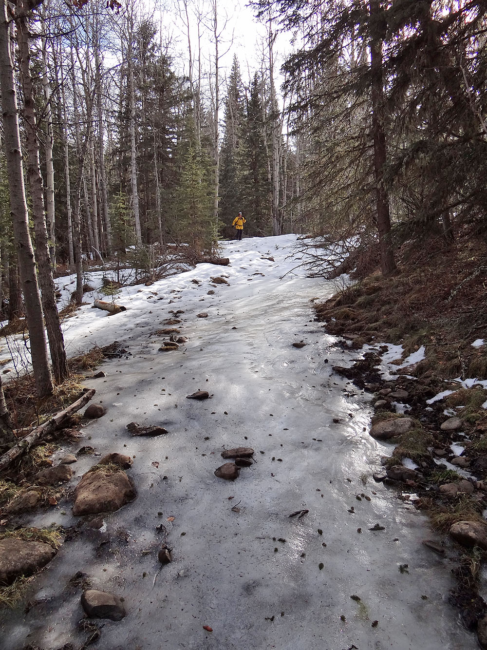
Slick ice covered much of the path
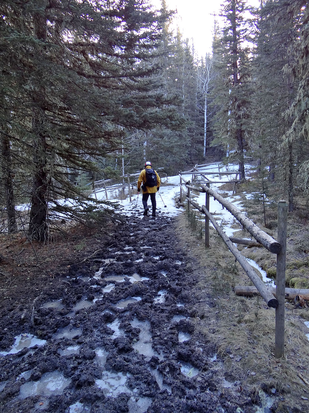
Frozen now, the trail must be horrendously muddy in early season
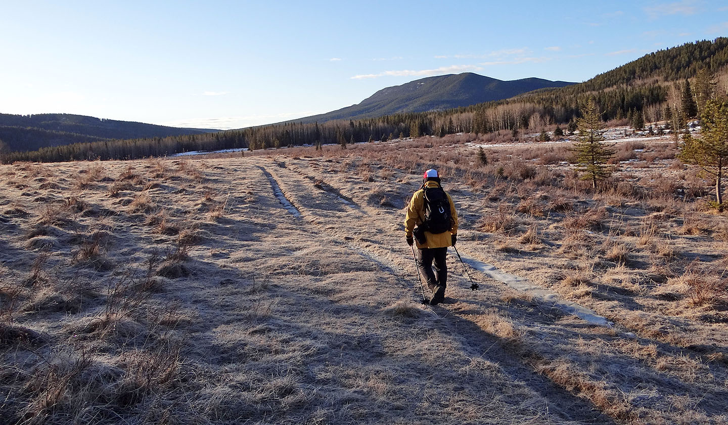
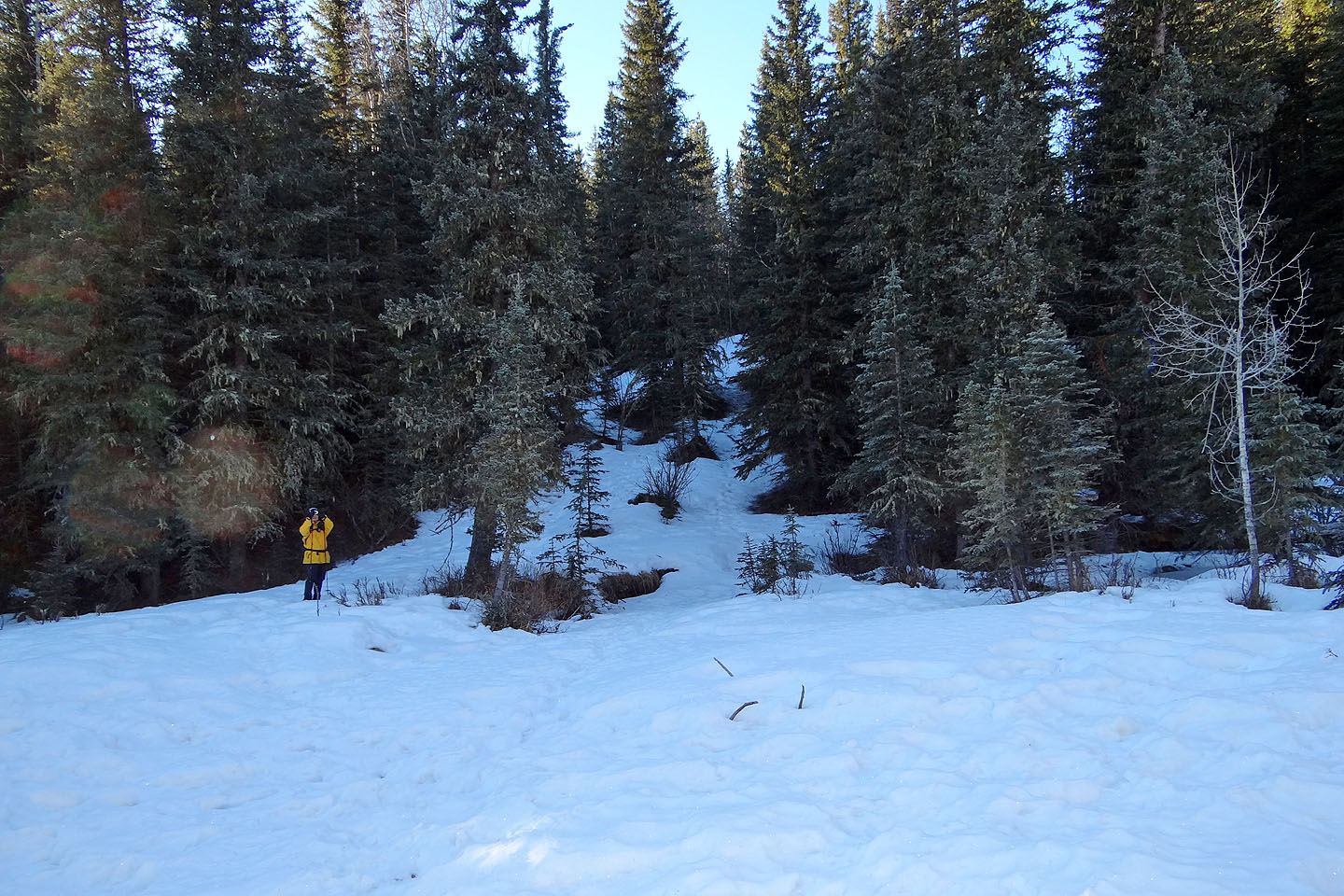
We'll soon leave the road to take a shortcut across the frozen marsh
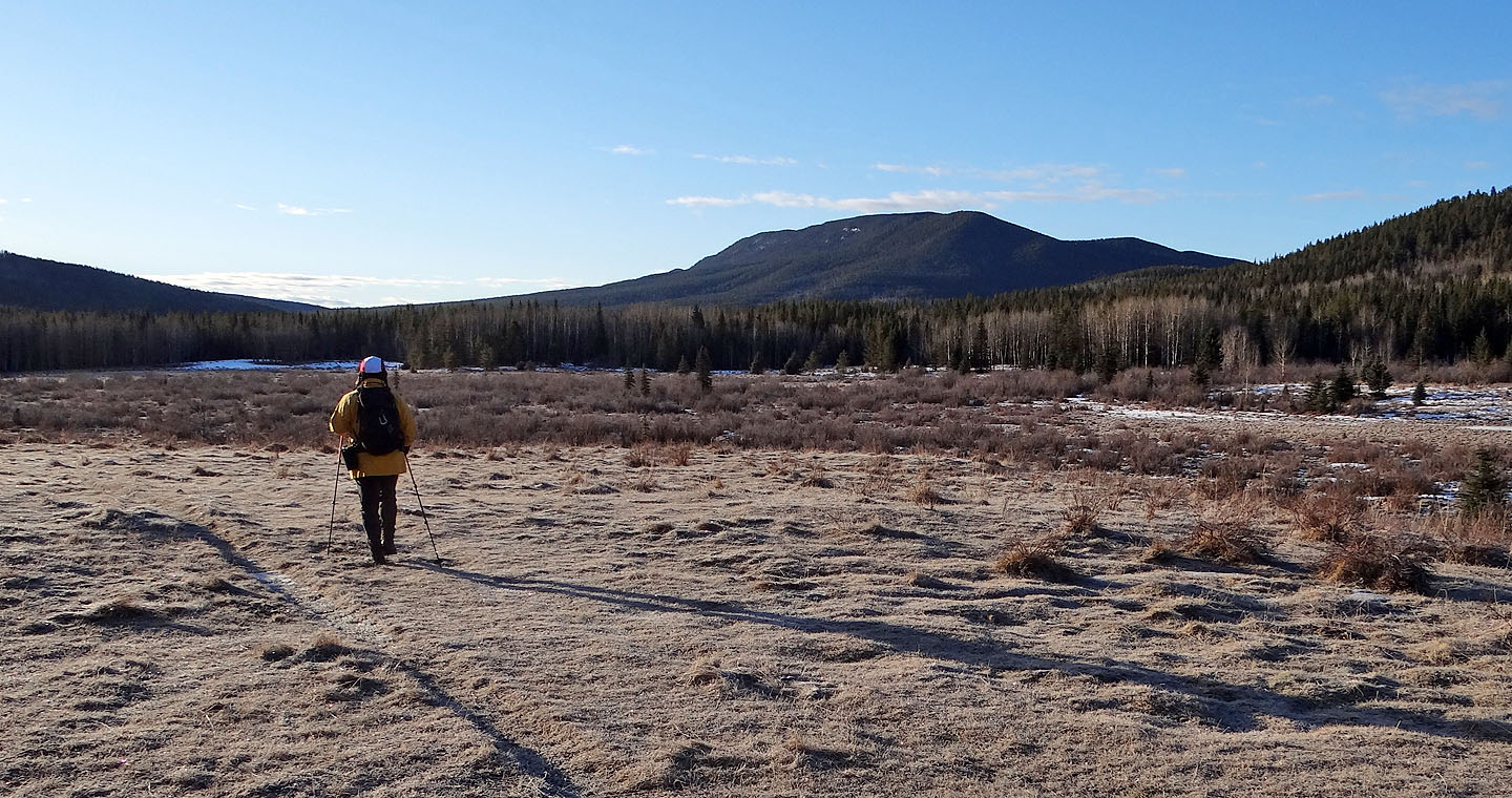
Blue Ridge ahead
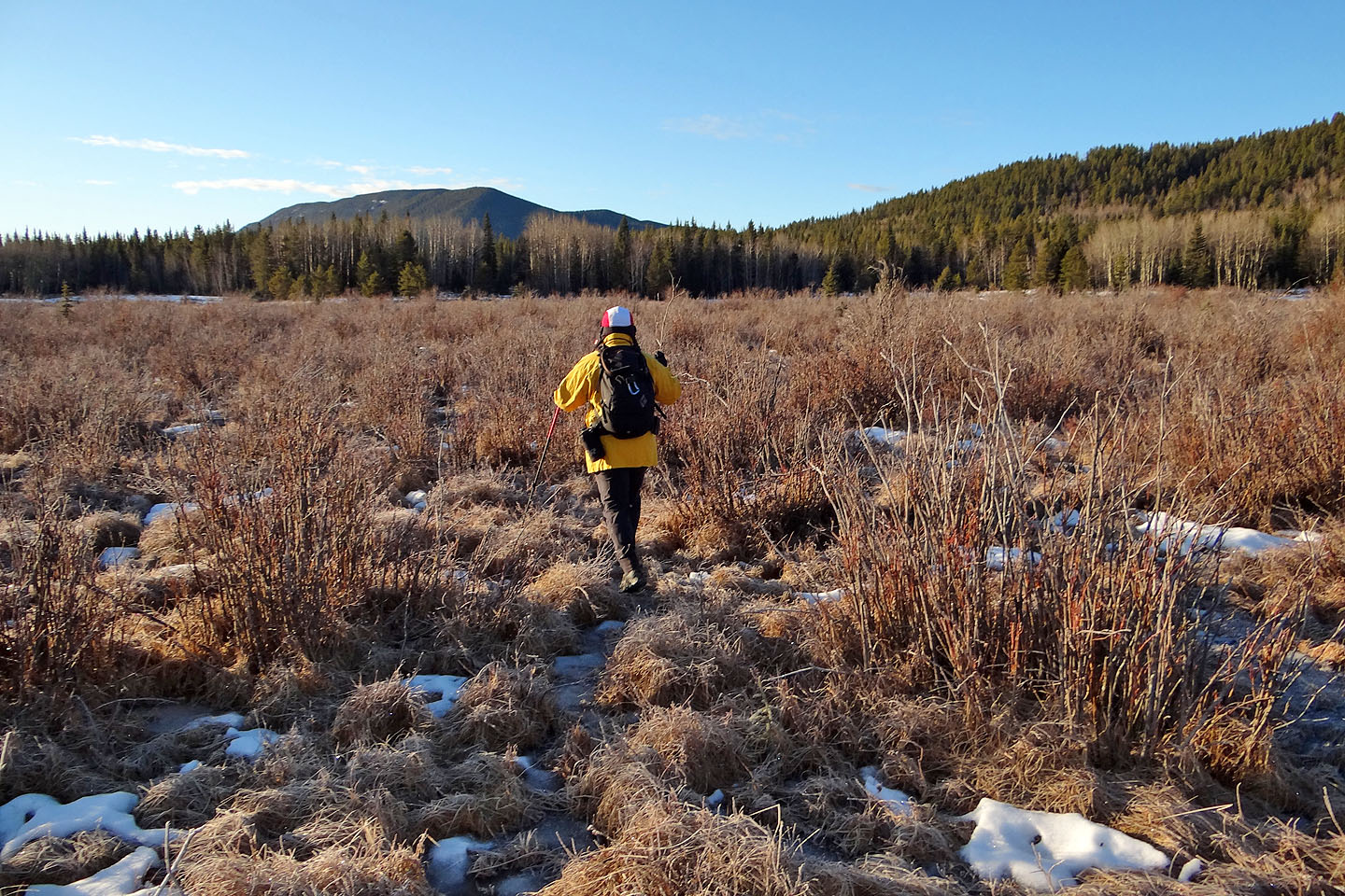
Taking a shortcut across the marsh. Another reason to climb Dyson in the winter.
After getting back on the road we can see Mount Dyson on the right
The trail drops down to Wolf Creek only to climb up the other side
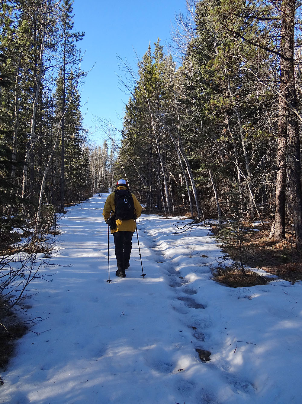
Wolf Creek trail merges with a cutline
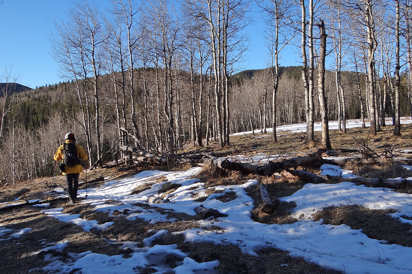
After hiking 1.3 km on the cutline we left it to ascend a grassy slope
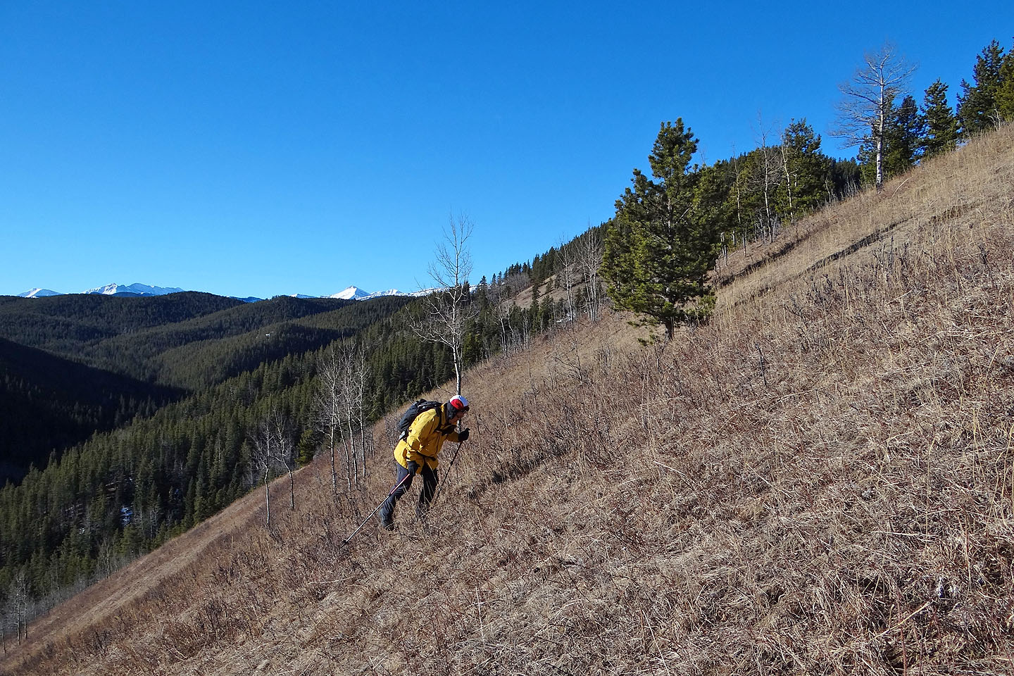
It's a steep climb up
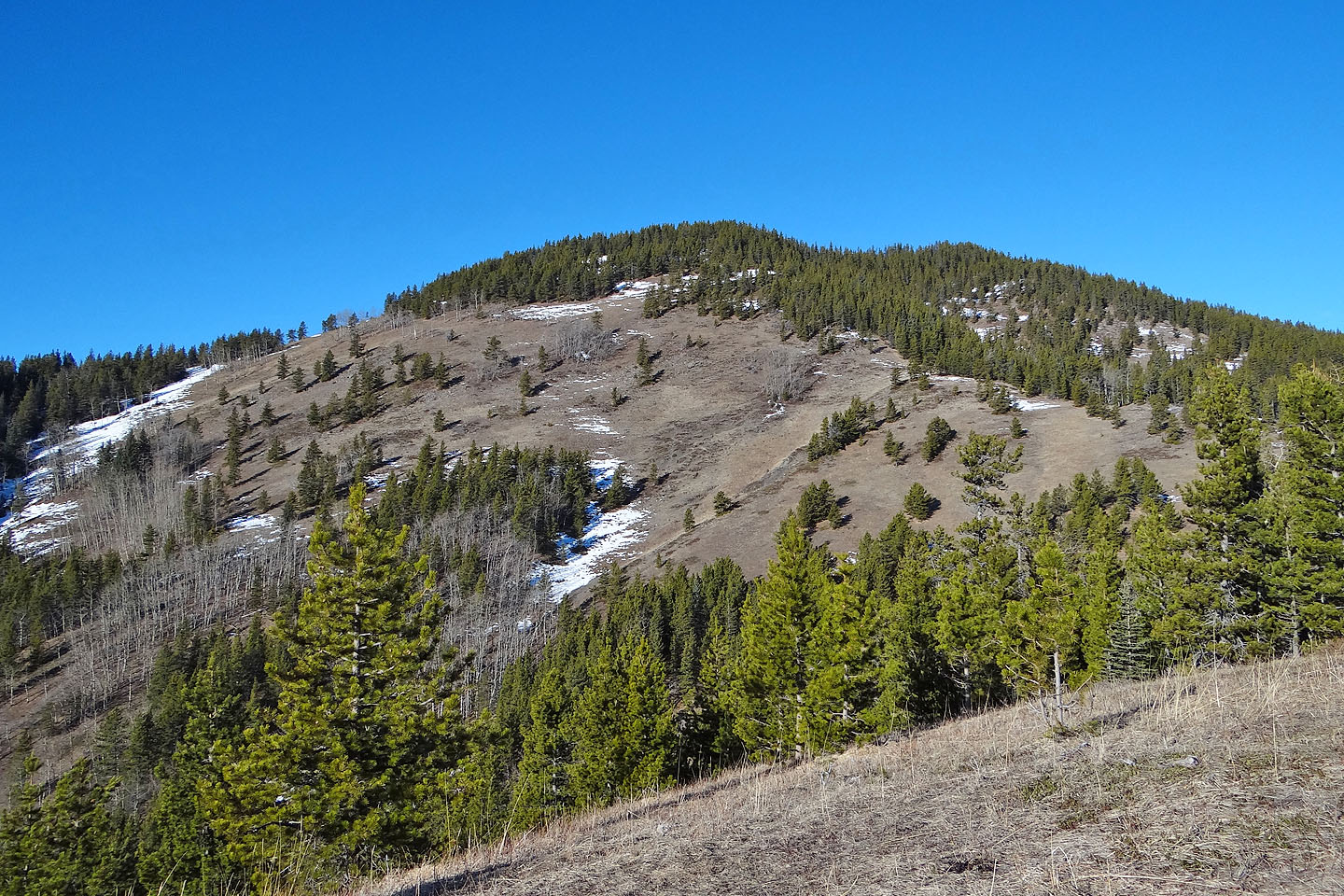
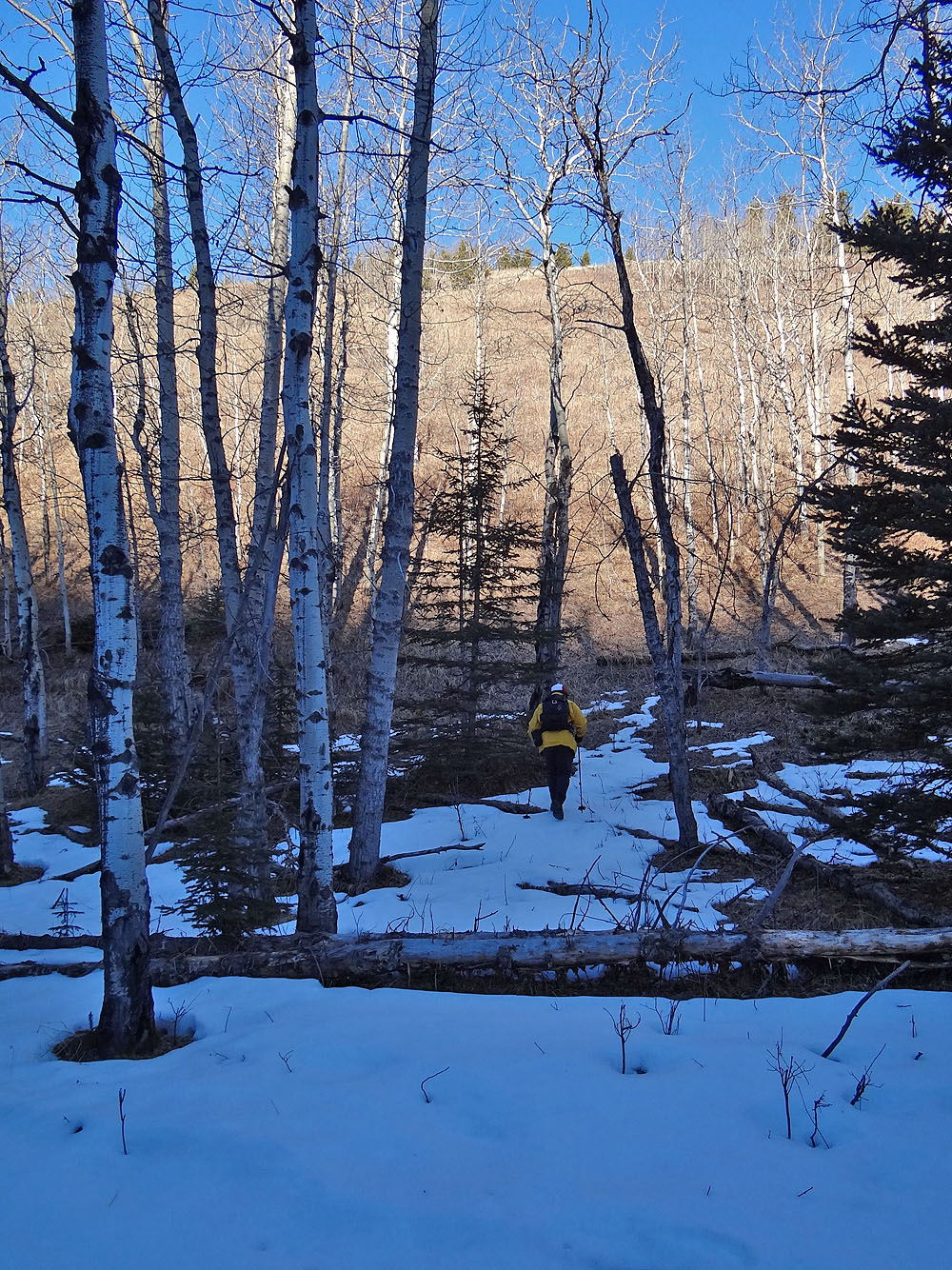
From here, we worked our way along the treeline before heading to the summit on the right
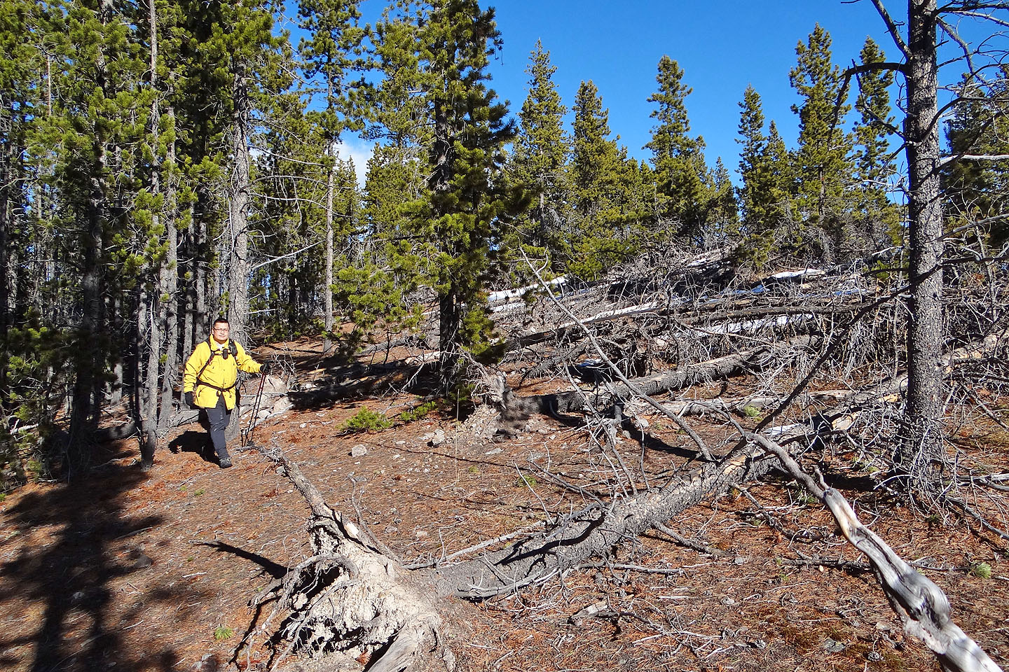
We caught an animal trail although it soon petered out
Not much of a summit
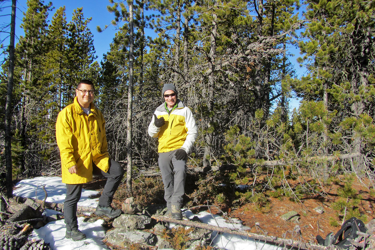
Sonny and I posed by our own cairn
The long ridge of Junction Mountain dominates the skyline (mouse over to view the summit)
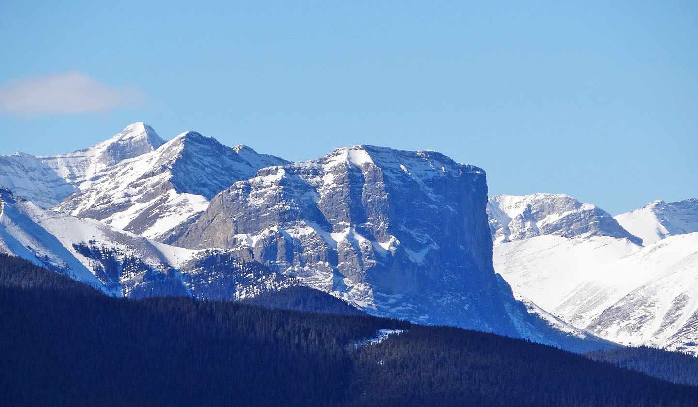
Gibraltar Mountain is easily recognized
Going back down the cutline
One of the iciest trail sections we encountered
82 J/10 Mount Rae