bobspirko.ca | Home | Canada Trips | US Trips | Hiking | Snowshoeing | MAP | About
Sandy McNabb Hills
Kananaskis, Alberta
March 18, 2017
Distance: 12.0 km (7.5 mi)
Cumulative Elevation Gain: 346 m (1135 ft)
After doing hundreds of hikes and scrambles, I’ve been fortunate not to have any serious injuries, but that unblemished record came to a crashing end when Dinah and I hiked Sandy McNabb Hills.
Although the two hills, Sandy McNabb Hill and Sandy McNabb Hill East, can be quickly reached from Sandy McNabb Recreational Area, Dinah and I, wanting a longer trip, used the High Noon Hills trail. We started up the trail, but it soon disappeared into an expansive meadow. (We lost the trail in a couple of places on the way in but nailed the route on the way out. The correct route is shown on my map.) After crossing meadows and hiking through trees, we picked up the trail at the southeast end of High Noon Hills. We lost it again on the grassy ridge above Long Prairie Creek, but after crossing the creek and hiking through the forest a bit, we found the trail when we emerged onto an impressive stretch of grassland, the “long meadow.” We followed the trail to the bottom of the Sandy McNabb Hill East.
We hiked over Sandy McNabb Hill East and continued west to ascend Sandy McNabb Hill. My GPS showed the two hills equally high, although Sandy McNabb Hill with fewer trees offers a more scenic perch.
On the way back, we followed the trail running beneath Sandy McNabb Hill East and met the long meadow trail. After leaving the meadow, we entered the forest and came across some patches of ice. That’s where I fell. Countless times before, we’ve trod around and over small ice patches safely, but this time I made a misstep, perhaps going too fast or taking too big of a step. I slipped on ice, my feet flew under me, and my left shoulder smashed into an inconvenient tree.
I immediately got up, but I knew I was in trouble. My shoulder hurt horribly, and I suspected I had dislocated it. After taking a few minutes to recover from an acute stress reaction, we fashioned a sling using my fleece jacket, and belatedly we put on microspikes, or rather, Dinah did for both of us as my left arm was useless and any upper body movement hurt terribly. (I’ll never take walking on ice for granted again!)
Dinah offered to carry both packs, but that hampered her, and I found I could easily hang her lighter pack from my right shoulder. With my left shoulder aching, we held a steady pace 2.4 km back – and 80 m up – to the trailhead. After throwing our gear in our car, we went searching for the nearest hospital.
Oilfields General Hospital
Two hours after the accident, I was admitted to Oilfields General Hospital in Black Diamond. The wait was mercifully short, maybe 20 minutes. A nurse took down my information and led me to a small room where I laid down on a gurney. After a time, a doctor appeared. Despite my grave situation, our conversation was casual, and I felt at ease with the friendly staff.
I knew there would be x-rays, drugs, and treatments with plenty of waiting in between. I was given a shot of Toradol to ease the pain while I contorted my body to fit their x-ray angles. However, the painkiller had no effect, but the sympathetic x-ray tech went out of her way to make the positions as comfortable as possible.
I did indeed have a dislocated shoulder: I would be sedated intravenously and my humerus would be pushed back into place. While I was being prepped, a second doctor appeared. It was a shift change, and he would be taking over, but both doctors would be present for the treatment.
I became profoundly relaxed as Ketamine, an anesthetic that induces a trance-like state while providing pain relief and sedation, flowed into my veins. I felt like I was floating and with eyes closed, I began hallucinating. I watched squares change patterns and pastel colours, much like viewing a screen saver on a big screen: absolutely fascinating. The sensation of floating and the hallucinations filled my consciousness; I was hardly aware of much else. I could faintly hear the doctors talking, but it was as if they were in another room. I was vaguely aware of movement by my left shoulder. I heard someone groan only to realize it was me. They must have pushed my shoulder back into place.
I was deeply sedated for maybe 15 minutes. Then the colourful squares slipped away and reality returned. For a long time afterwards, I felt woozy, had double vision and difficulty talking. Eventually I was taken for more x-rays and then wheeled back to my room.
“That’s never happened before,” said Dr. Hembroff, as he strode into my room. In his nine years of experience, he had never seen a shoulder come out again. It would have to be put back in, but another round of powerful Ketamine was out of the question: he would use traction, much like the diagram I had seen in a wilderness first aid book. Lying face down, they tied a 5 lb dumbbell to my wrist. Unlike a wilderness setting, I was given morphine (if the narcotic had any effect on me, I wasn’t aware of it). I concentrated on relaxing my shoulder muscles and after a couple of minutes, I felt my shoulder painlessly pop back into place. I stayed in traction for maybe half an hour.
After more waiting and more x-rays, I got up and stood alongside the doctor and x-ray tech in the tiny x-ray control room, looking at my latest x-rays. Not good. My shoulder had popped out again! Then and there, while standing, the doctor maneuvered it back into place. After more x-rays and resting, the doctor pronounced my shoulder stable. Four-and-a-half hours after I was admitted and now sporting a new sling, I walked out of the hospital.
I wish to thank Dr. Tristan Hembroff, Dr. Arne Van Aerde, Carol Wark (R.N) and the x-ray technician for their excellent treatment. Not only did I feel like I was in good hands, I felt like I was with good friends.
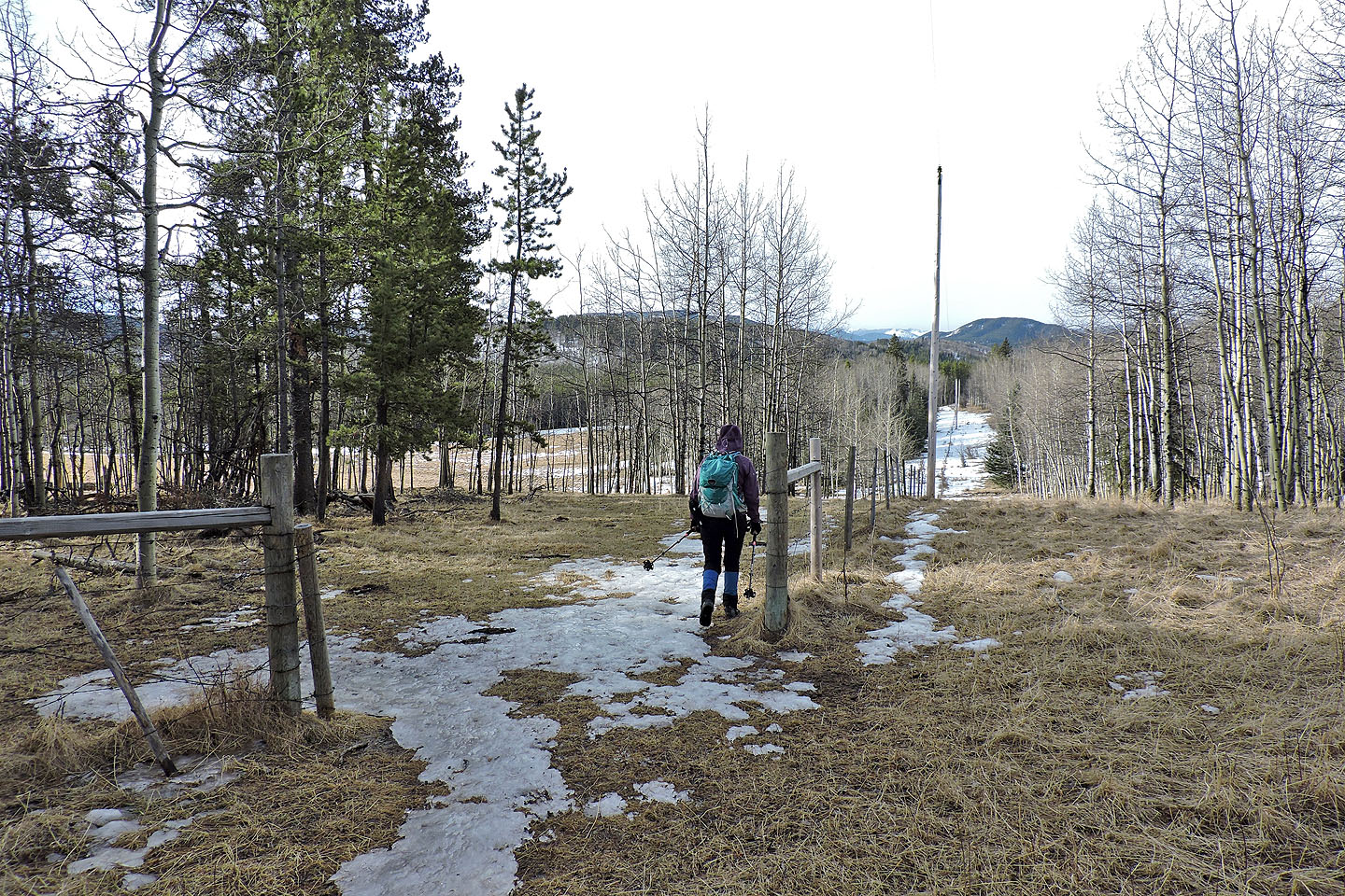
After the trailhead, we went through a gate and headed southeast
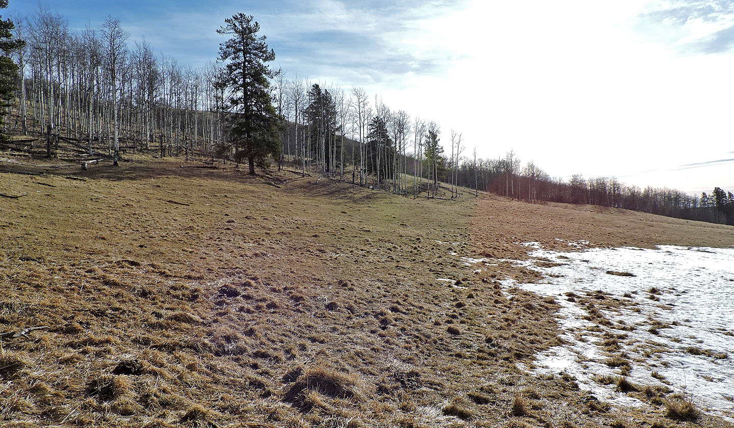
The rise ahead is High Noon Hills
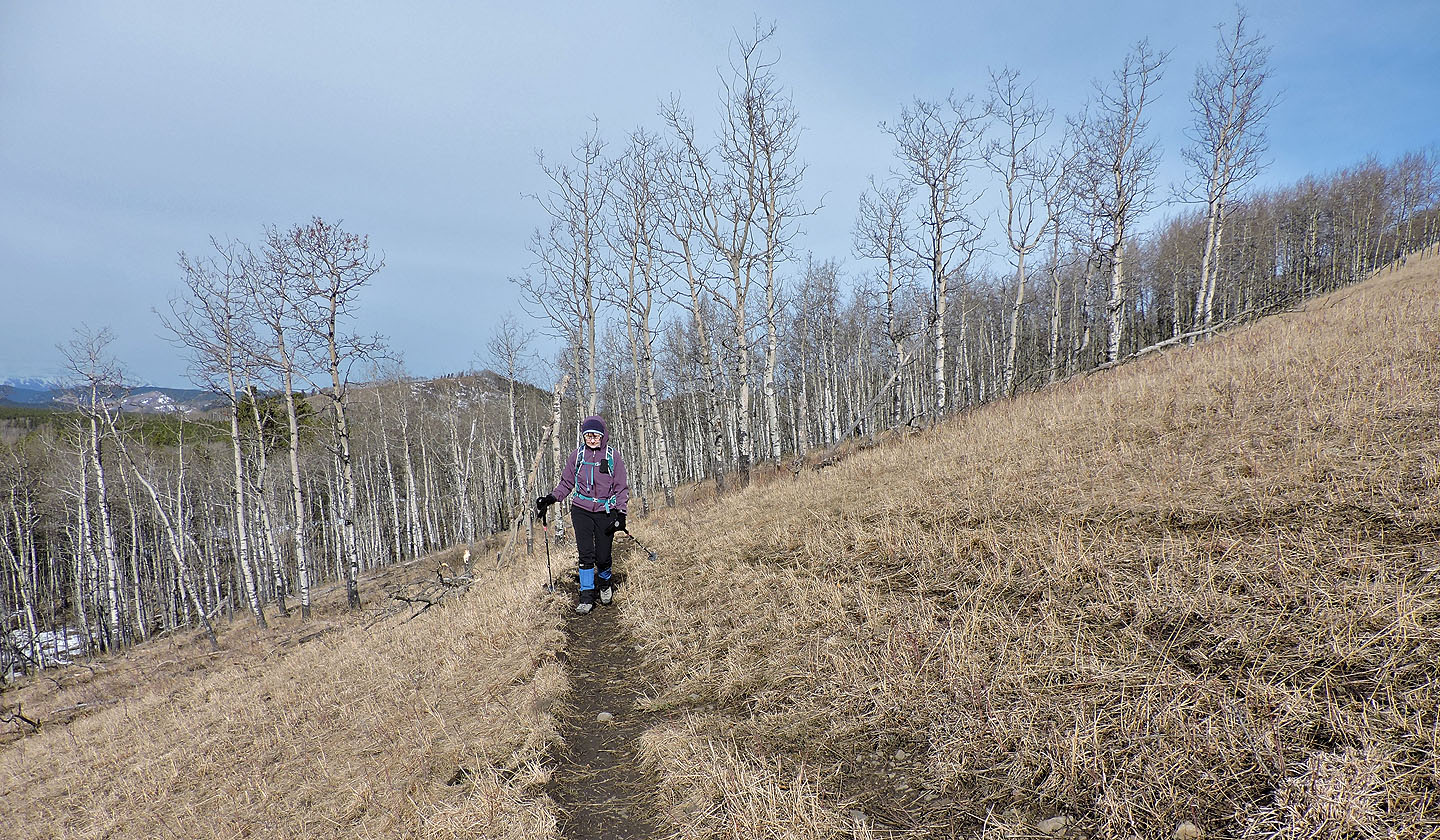
Coming up to the junction on the southeast end of High Noon Hills
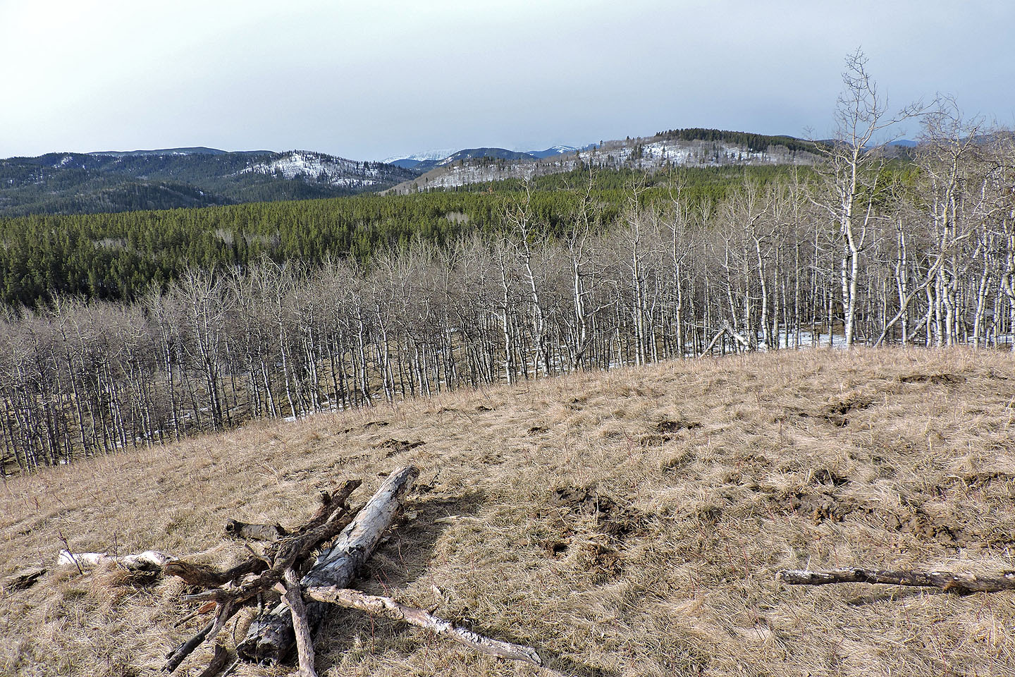
After the junction, Sandy McNabb Hill East appears ahead. There is no trail here, but the route turns left.
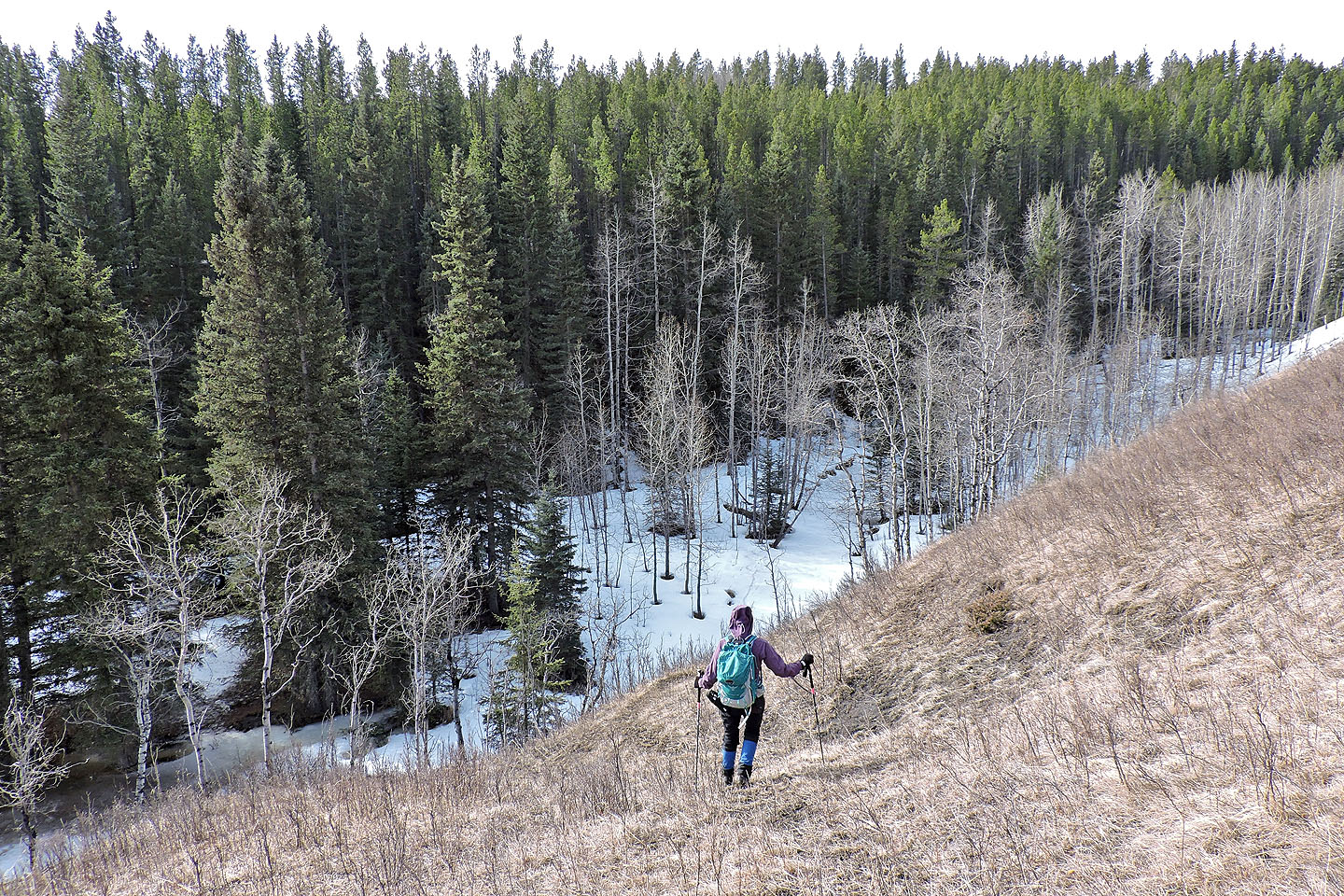
Heading down to Long Prairie Creek
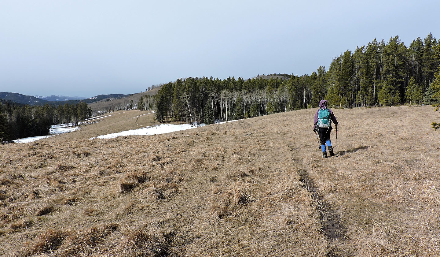
The long meadow

The end of Sandy McNabb Hills East lies ahead
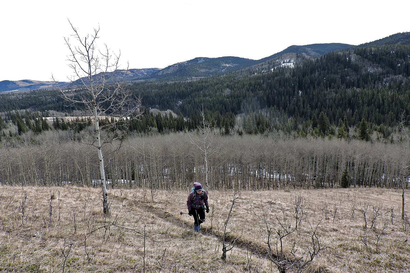
Starting up Sandy McNabb Hills East. Far left is Okotoks Mountain.
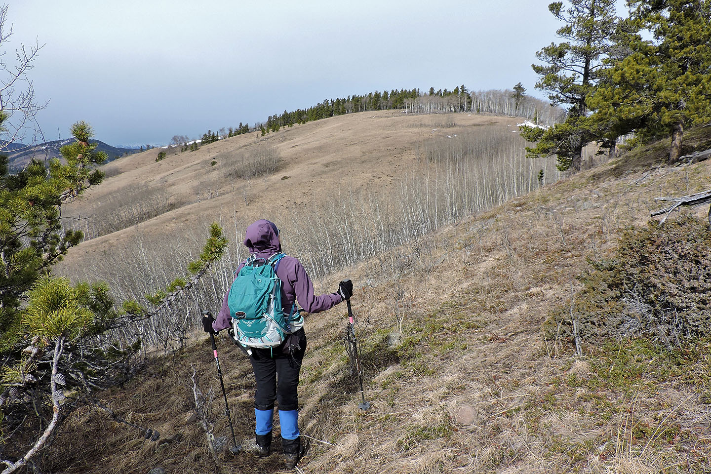
The trail winds around the left side of a ridge bump
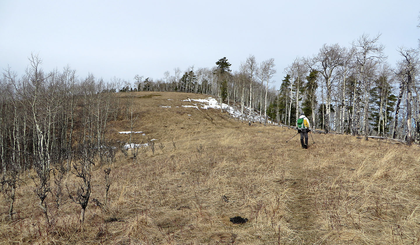
Heading to the top of the hill
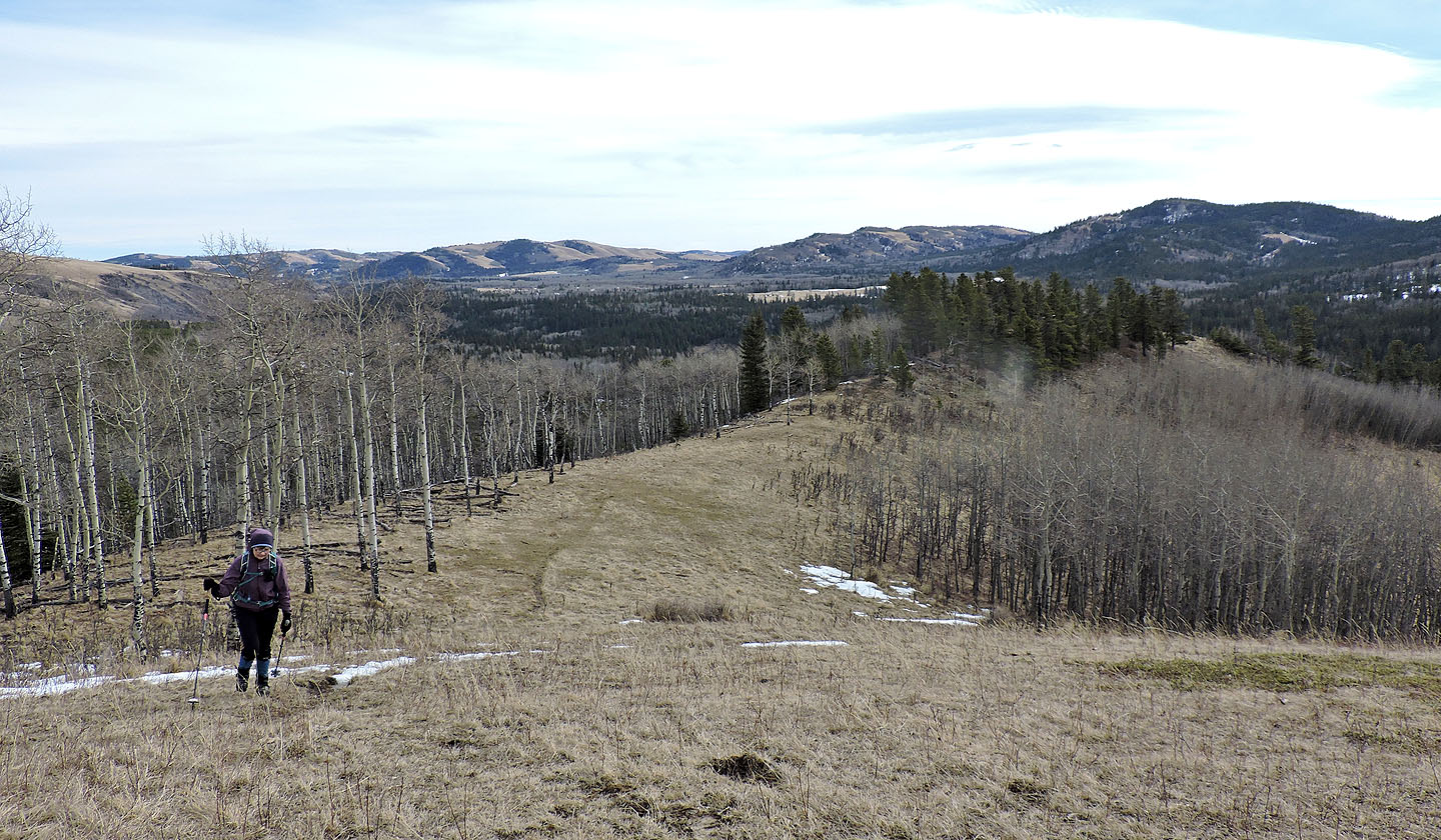
Looking back along the ridge

Partial panorama from the top of Sandy McNabb Hills East
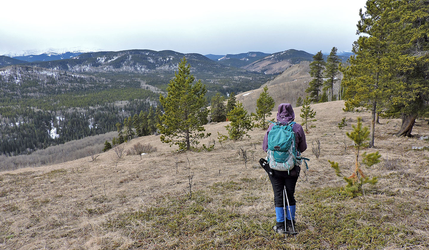
After the summit, we continued along the ridge
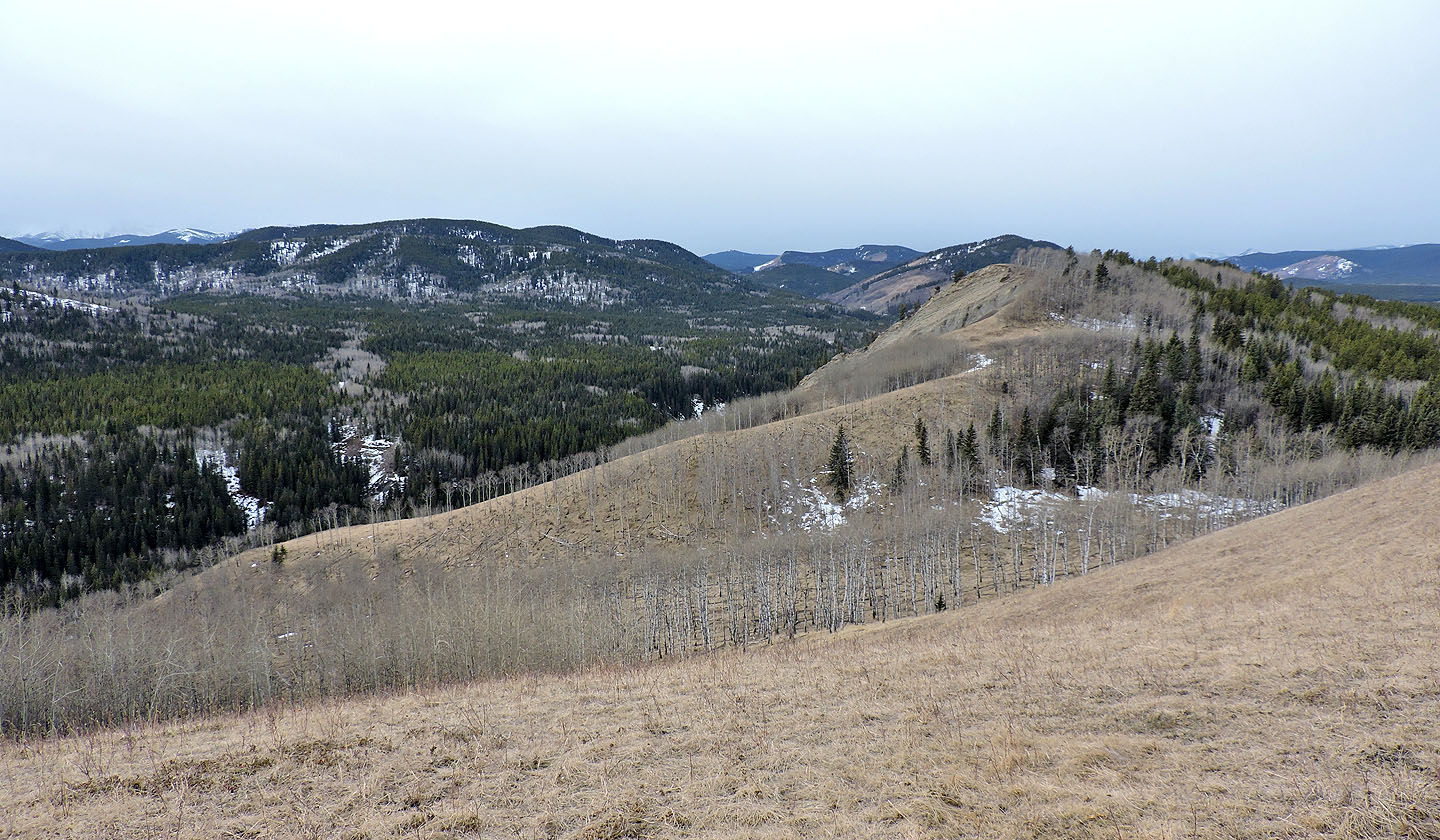
The half bare summit of Sandy McNabb Hill lies ahead
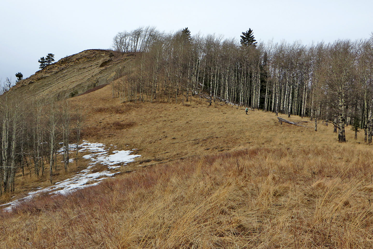
On our way to our second hilltop
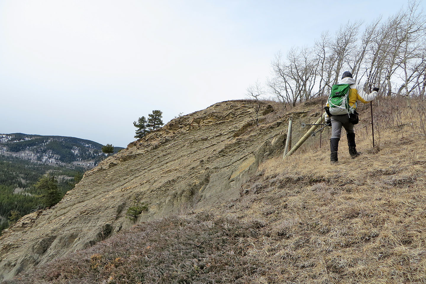
Just below the summit we had to hop a barbwire fence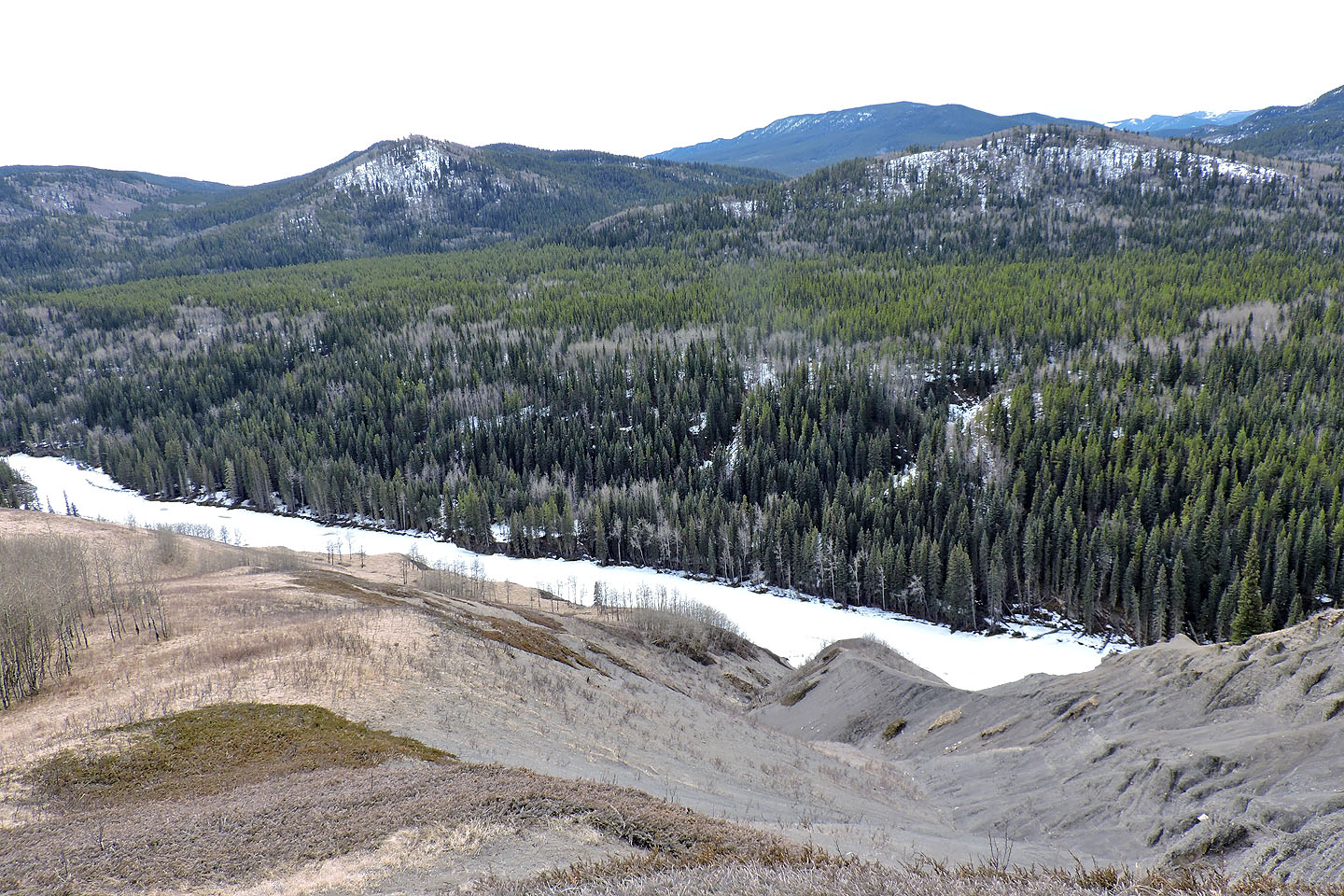
Looking across Sheep River at Channel Ridge North Summit and Wolf Creek Hill
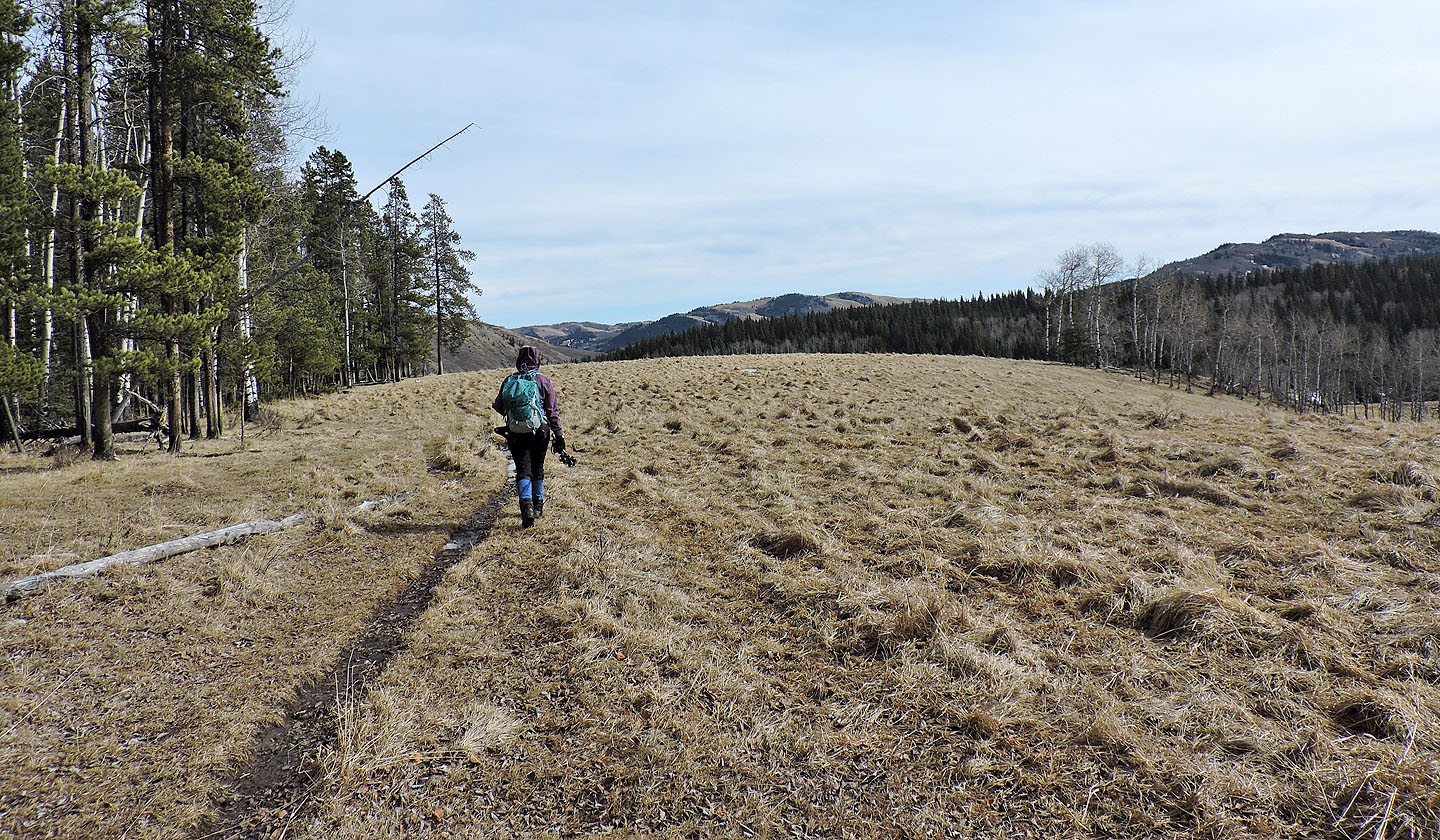
Back on the long meadow trail
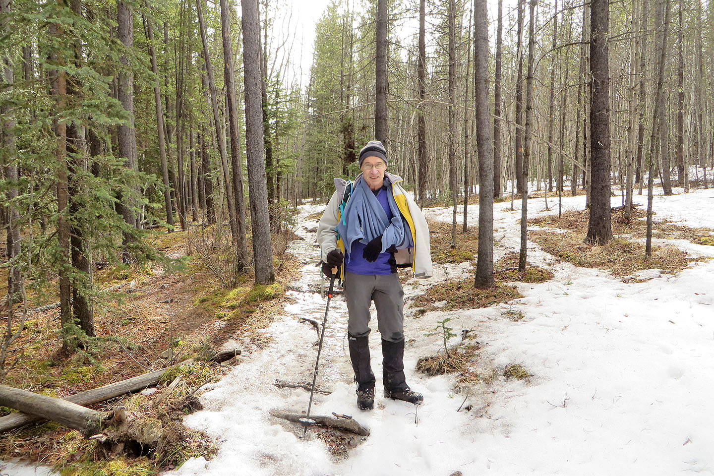
After I fell, we made a sling from my fleece jacket, and we put on microspikes
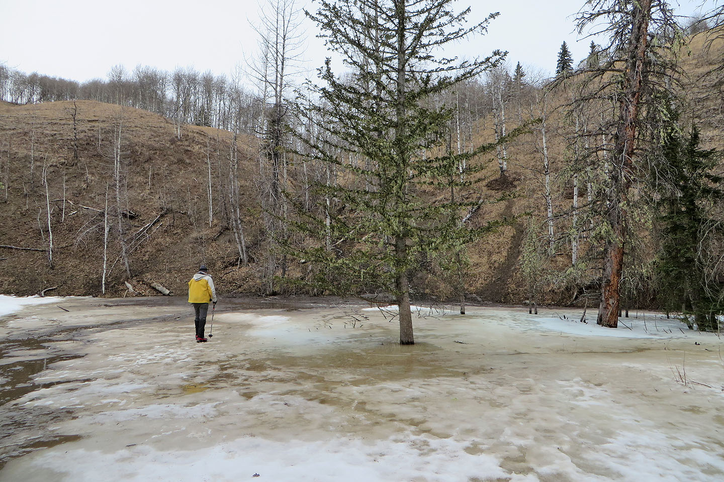
Crossing Long Prairie Creek
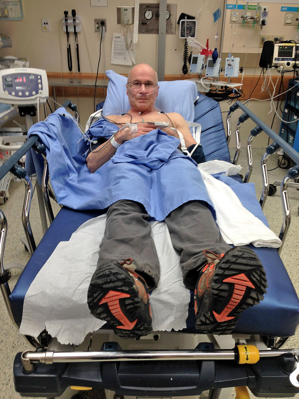
Recovering from sedation at Oilfields General Hospital. My shoulder was
in place here but went out twice more before I left.
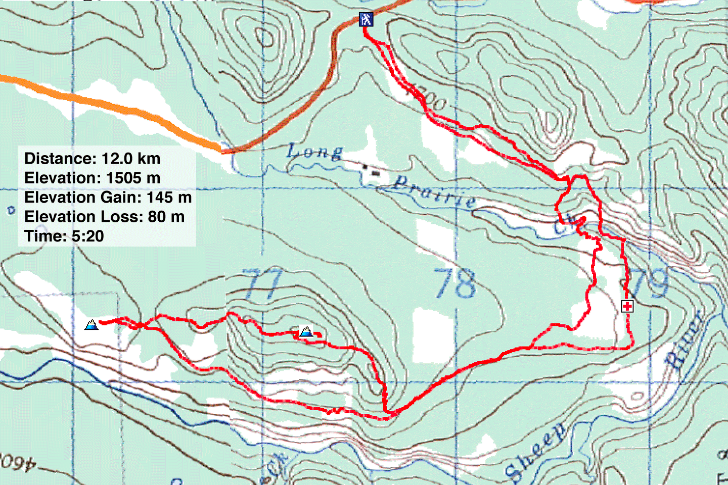
82 J/9 Turner Valley, 82 J/10 Mount Rae
