bobspirko.ca | Home | Canada Trips | US Trips | Hiking | Snowshoeing | MAP | About
Mount McNab
Kananaskis, Alberta
February 26, 2011
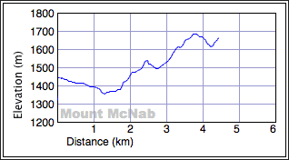
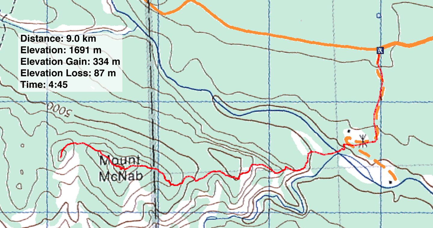
Distance: 9.0 km (5.6 mi)
Cumulative Elevation Gain: 586 m (1923 ft)
I had been saving Mount McNab for a day when Dinah and I had little time or little ambition, and on this day we had both. The diminutive mountain rises only 275 m above the trailhead, but the access road to Sheep River was closed, so we lost 50 m of elevation before reaching the usual start from a parking lot. There's another 30 m elevation loss from the trailhead to the river.
After parking at the entrance of the access road and with snowshoes in hand, we walked a few hundred metres down the road. The first part of the road was well travelled, but well before reaching Sheep River, we had to strap on our snowshoes. We crossed the snow-covered river and easily climbed the south bank by following snowmobile tracks. When the tracks ended at the edge of the woods, we ascended the east ridge to nab McNab. Since trees choked the summit, we continued to the lower west peak hoping it would provide better views. It did, but not by much. One does not climb Mount McNab for expansive views.
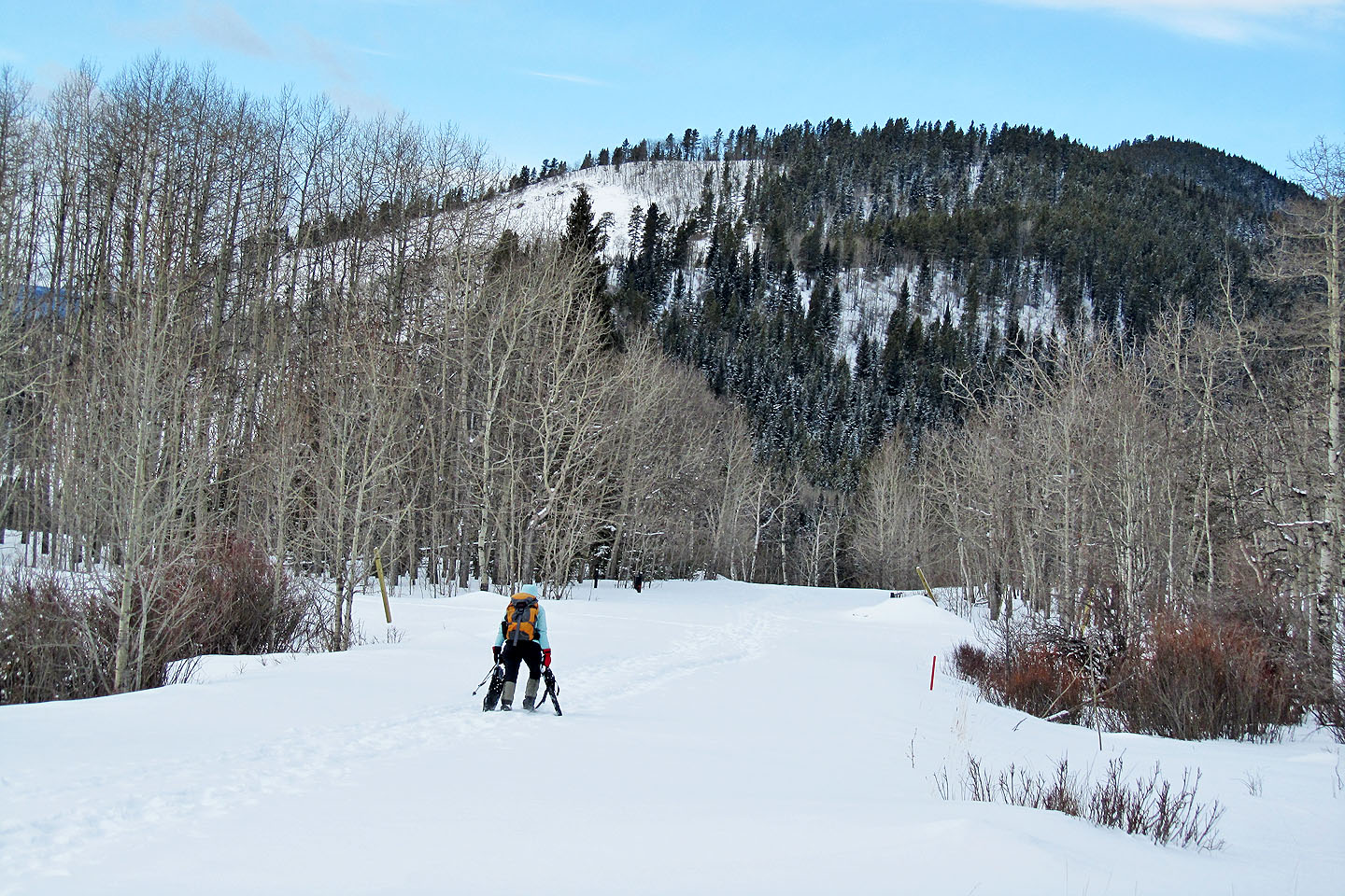
Heading down the access road, the east ridge of McNab ahead
Crossing Sheep River
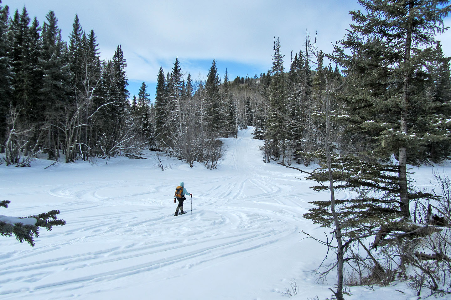
 Starting up the slope after crossing the river
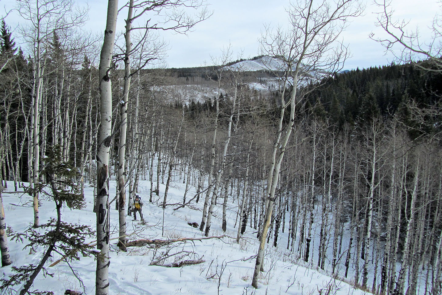
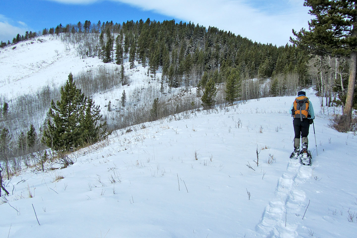
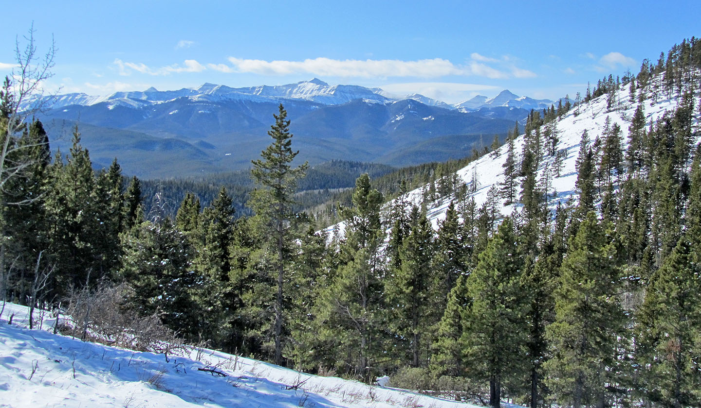
Behind us is Long Prairie Ridge
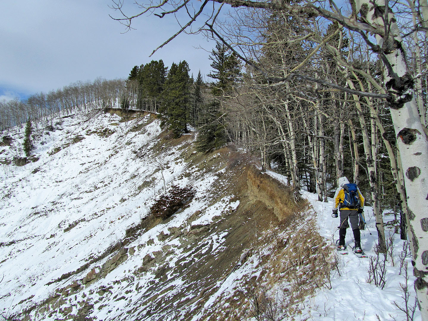
Following the edge of an eroding slope (mouse over to look back)
False summit ahead
True summit
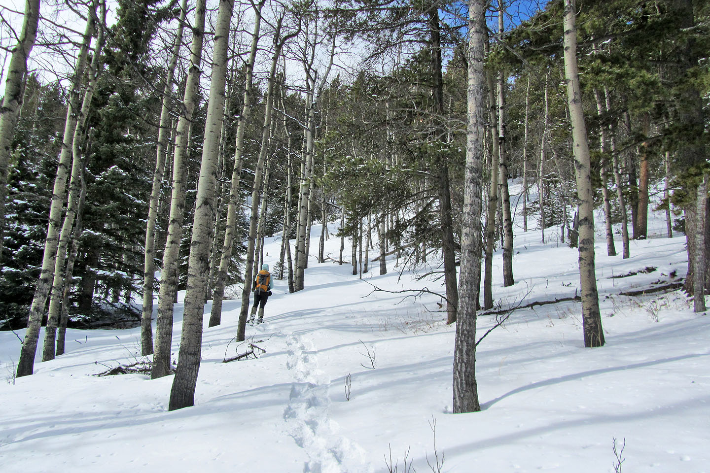
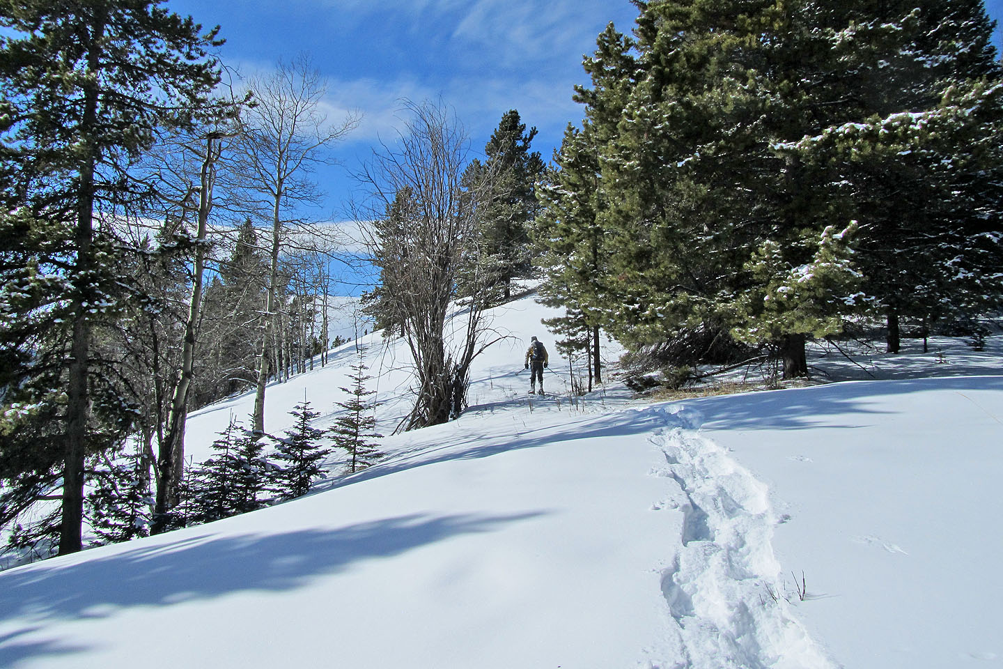
No bushwhacking as we headed to the summit

Not much to see either
Just before the summit, the slopes open up only to close in on the top
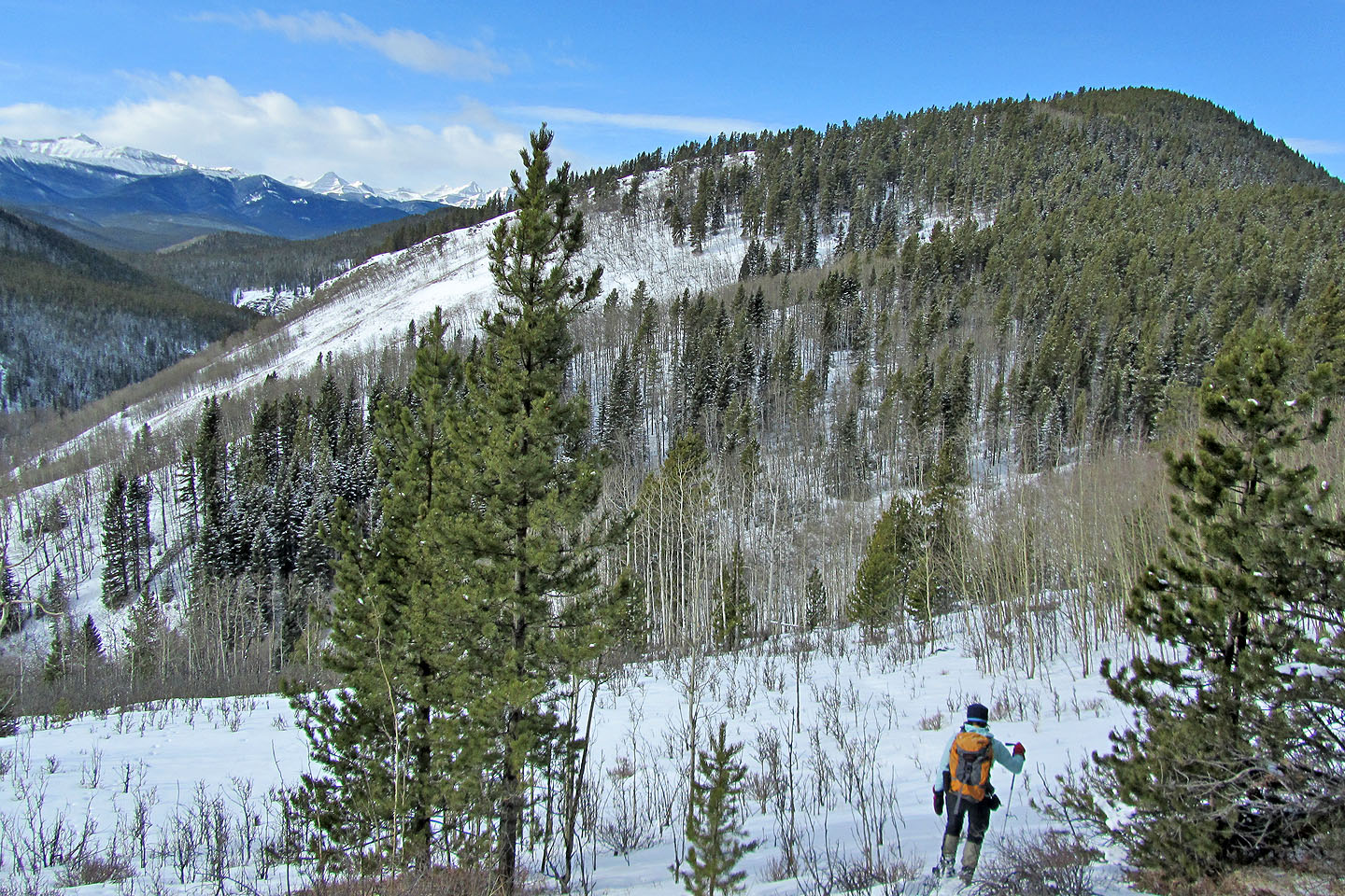
Halfway to the West Peak we could see Junction Mountain (mouse over for a close-up)
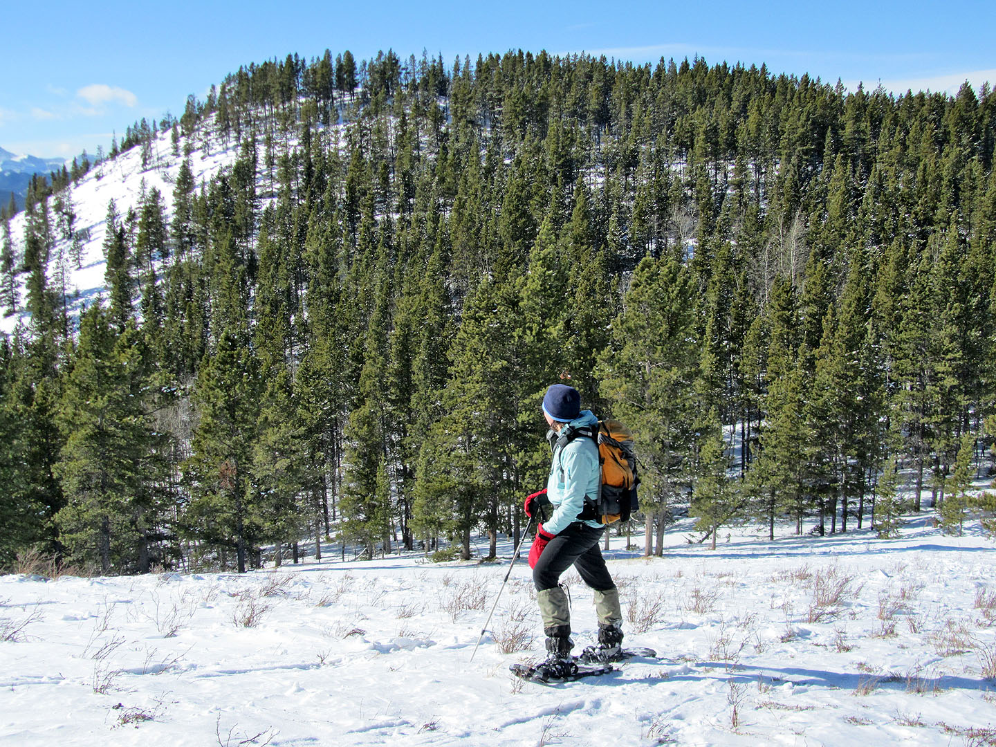
Dinah views the West Peak
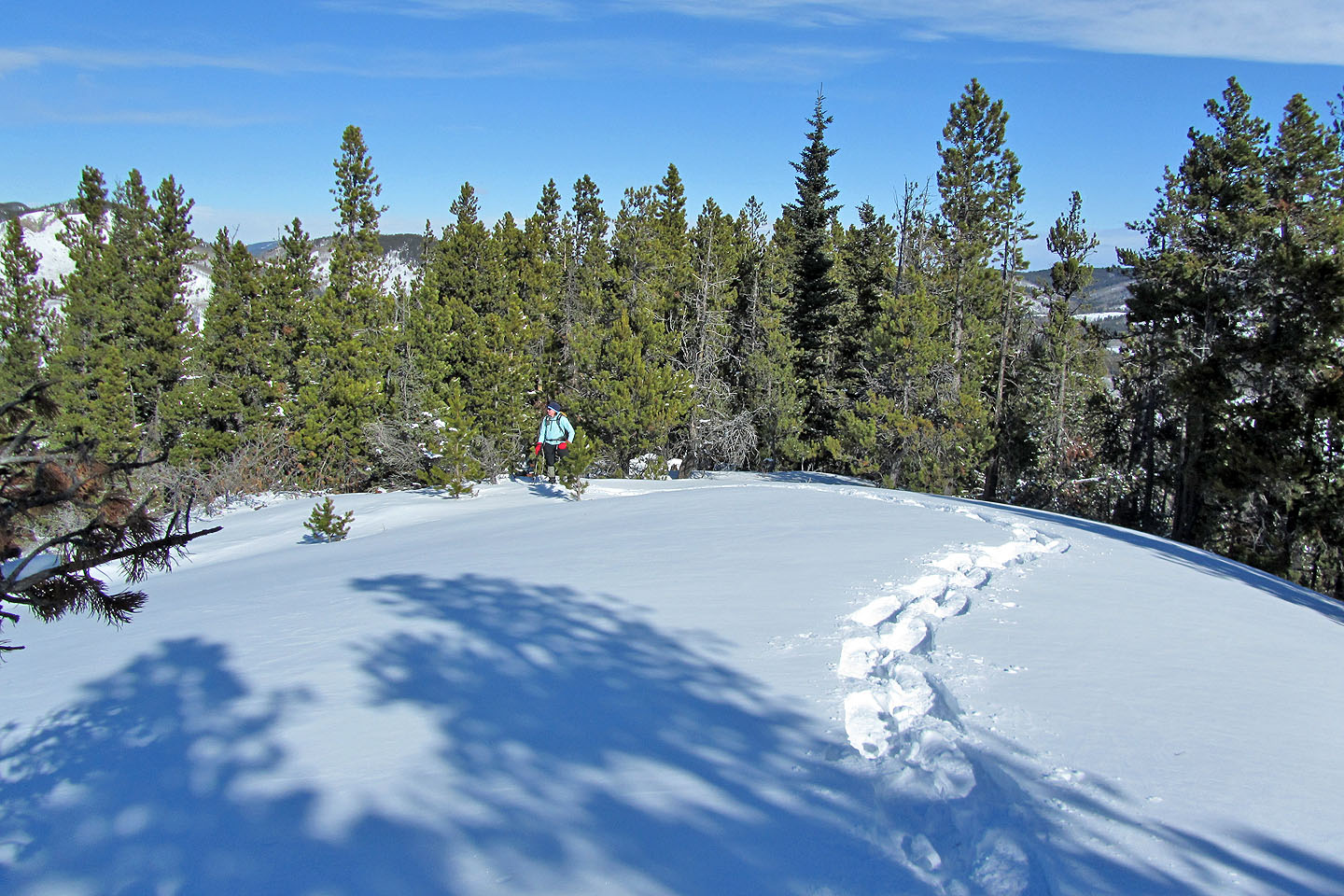
The summit of the West Peak is open to the sky, but tall trees prevent good views
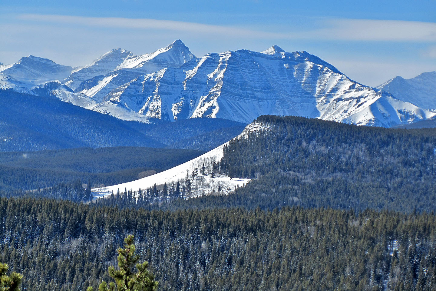
Shunga-la-she (fills the photo) seen from the West Peak
82 J/10 Mount Rae