bobspirko.ca | Home | Canada Trips | US Trips | Hiking | Snowshoeing | MAP | About
Channell Ridge
(Often misspelled as Channel Ridge)
Kananaskis, Alberta
July 4, 2024
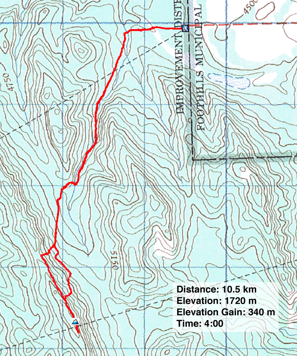
Distance: 10.5 km (6.5 mi)
Cumulative Elevation Gain: 365 m (1198 ft)
The quickest way to reach the summit of Channell Ridge is the east approach, and unlike the north approach, it avoids crossing Sheep River. I realized this after hiking in the area last month. But this approach was no surprise to Gillean and Tony Daffern. Not only have they done it a couple of times, but they are adding both approaches to the 5th edition of Kananaskis Country Trail Guide.
Wayne joined me on the hike. We walked 700 m up Lower Wolf Creek trail before leaving it to turn left. We followed a faint path across an immense meadow and entered a narrow, forested valley. Gill calls this The Narrows.
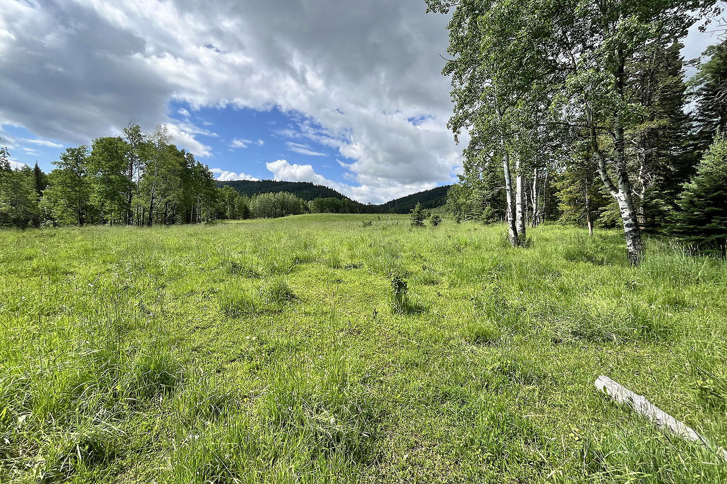
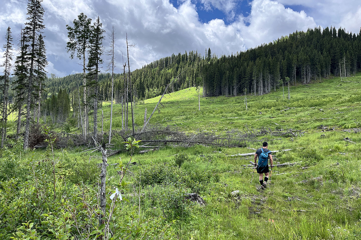
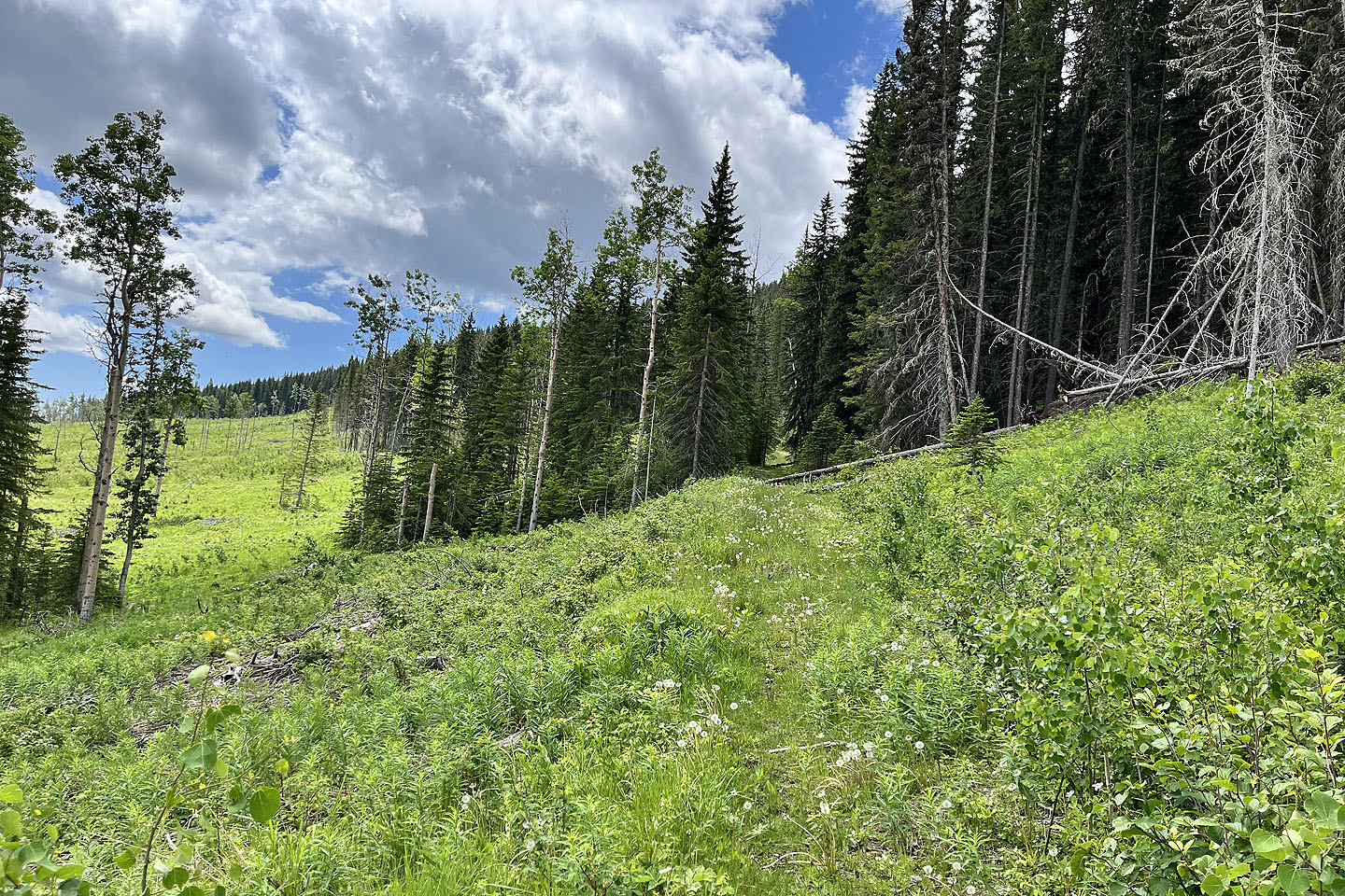
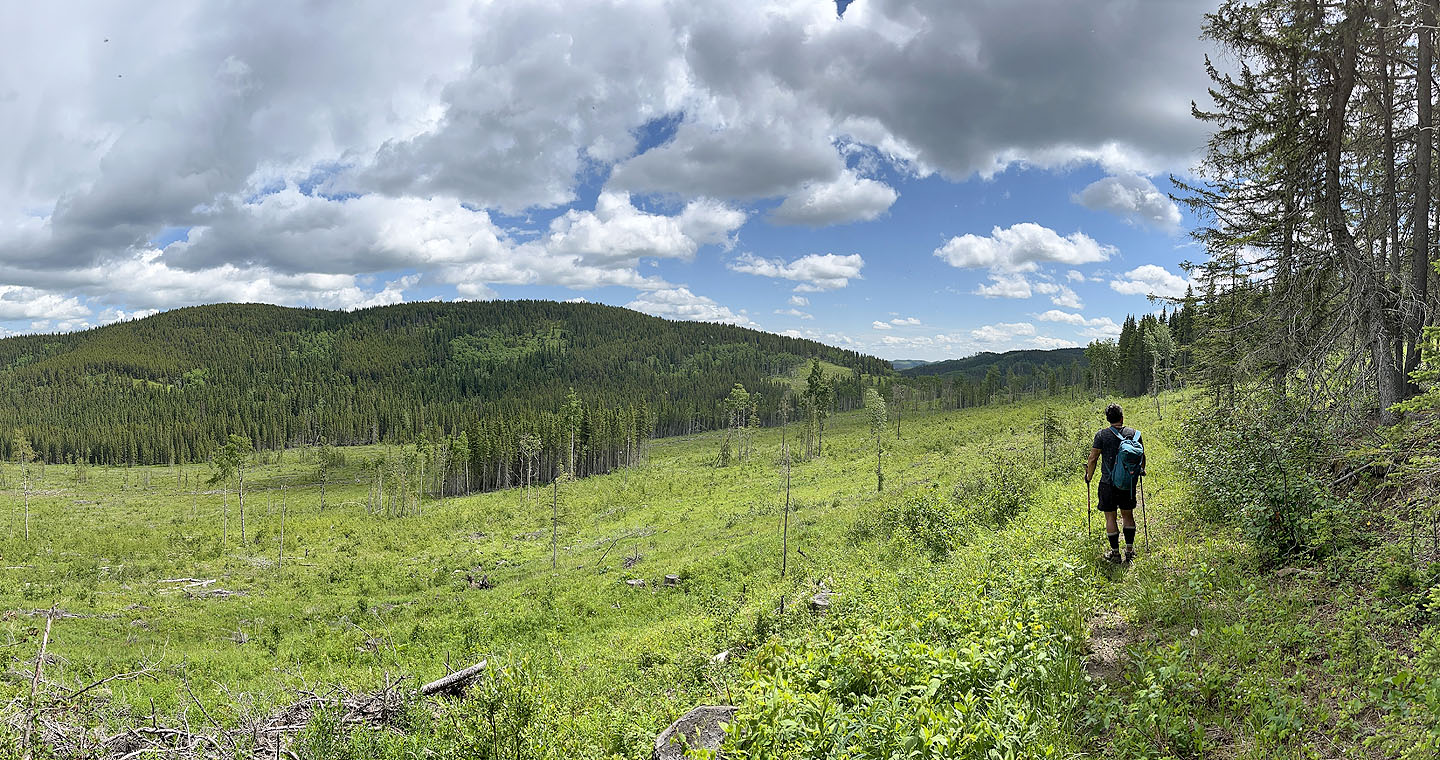
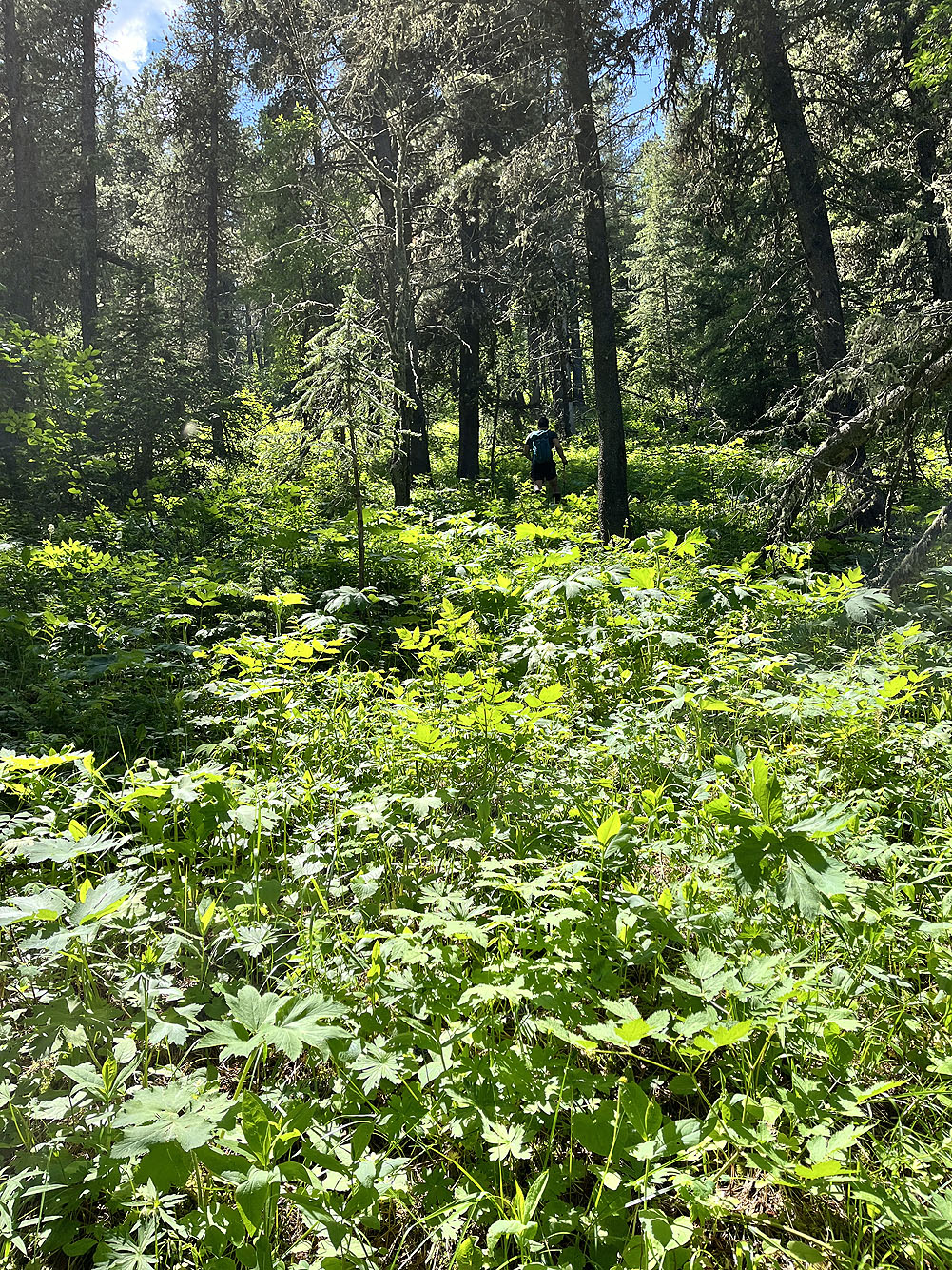
We followed the trail through The Narrows and emerged onto a broad, open valley. Extensive logging left the valley bottom and lower slopes mostly stripped of timber. On the other side of the valley, ran Channell Ridge. The summit was on our left, on the south end.
It appeared feasible to reach the ridge by ascending the slope before us, leaving over a kilometre of hiking along a wooded ridge. But I was drawn to take a gentle angle up the cleared, lower slope.
Surprisingly, after starting up, we came across a logging road that took the same angle I had planned. We were fortunate to find it as the road was hidden in a copse; the beginning of the road was lost in the slash in the valley bottom.
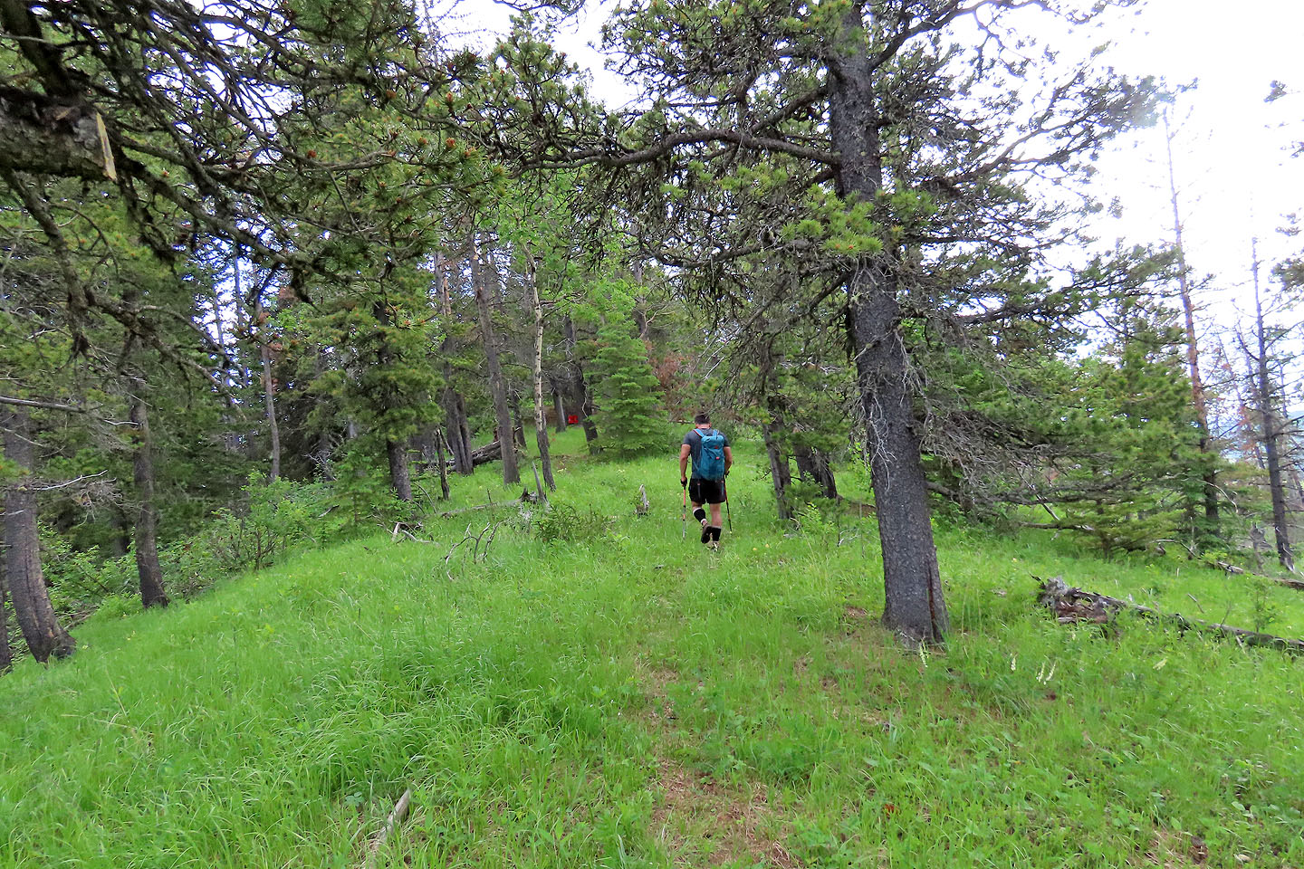
More of a trail than a road, we followed it as it climbed 80 m before levelling off in the forest after passing a small cutblock. We continued to the edge of a large cutblock before leaving the trail. We hiked to the top of the cutblock and caught an animal trail in the trees. After it petered out, we bushwhacked to the ridgetop where we spied a red milk crate. We were 300 m from the summit. We glided easily along the ridge trail before reaching a small summit cairn. Unfortunately, trees severely limit mountain views, and we soon returned the same way.
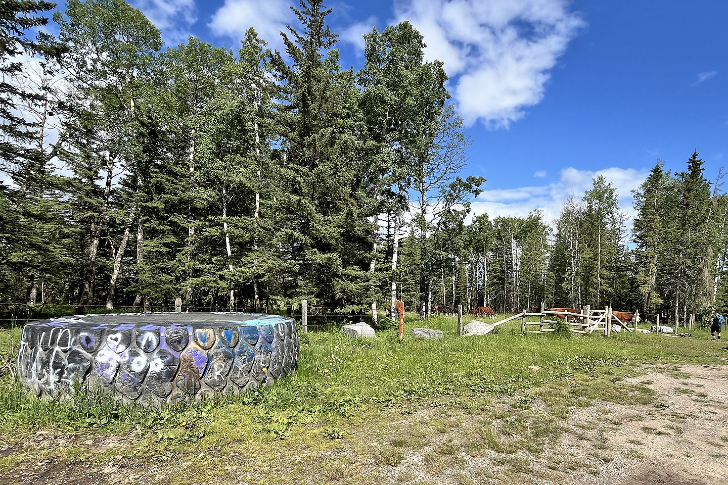 A huge tire lies near the gate at the trailhead
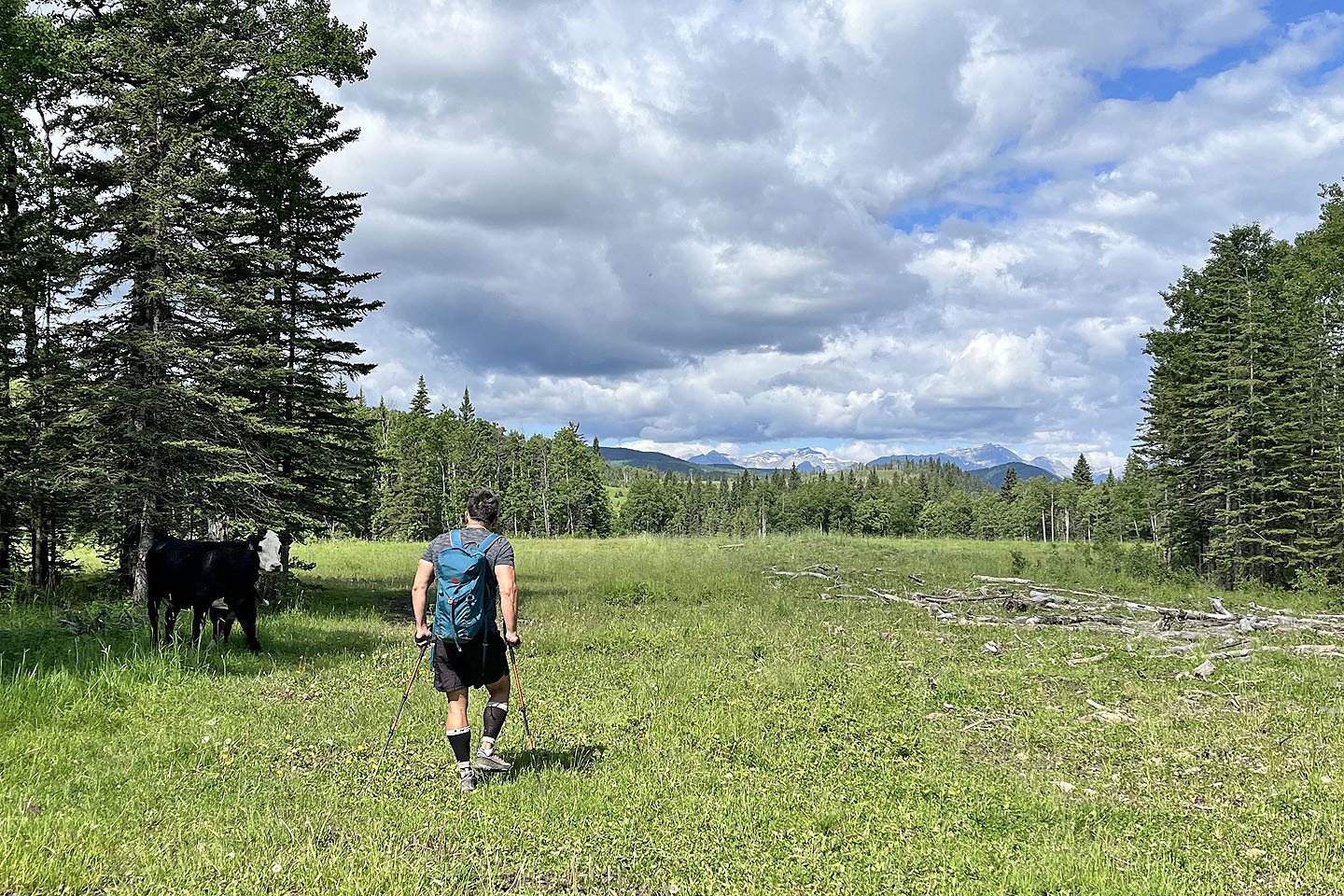 After passing through the gate, we confronted a cow with a calf which eventually sauntered off
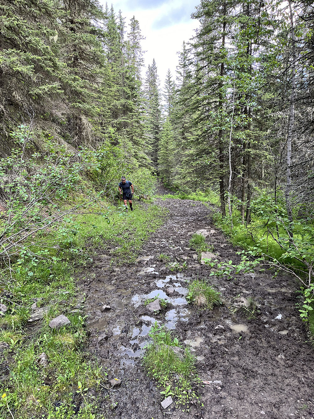
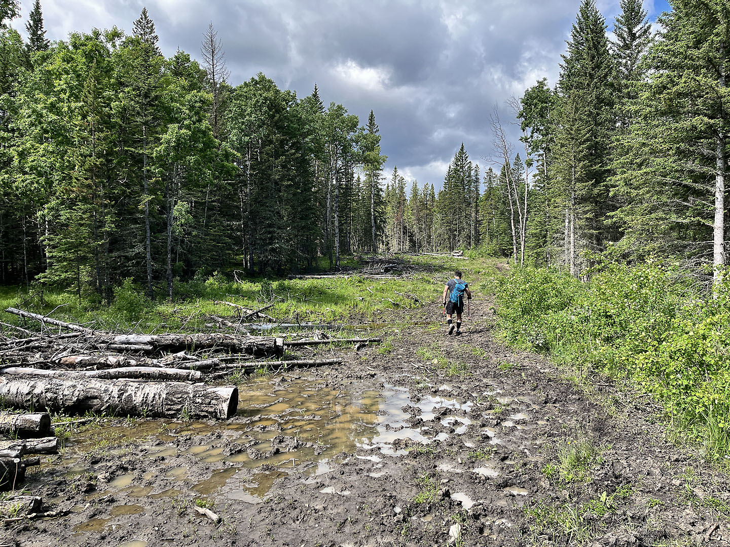 Mud puddles and soggy ground often dogged our steps in low terrain
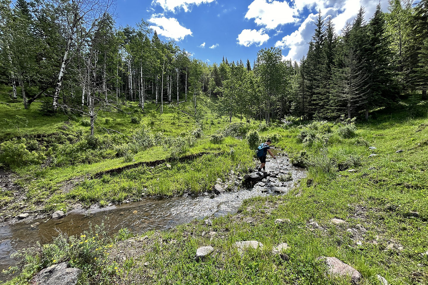 After crossing a creek, we turned left
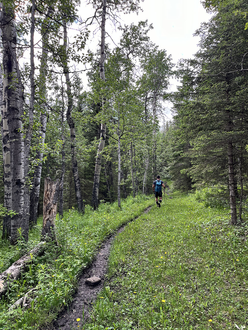
 We followed a narrow trail in the grass to The Narrows in the centre
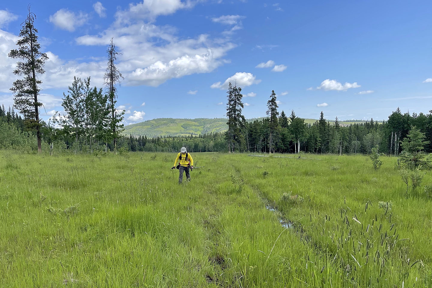 Parts of the meadow were boggy
 We'll soon enter The Narrows
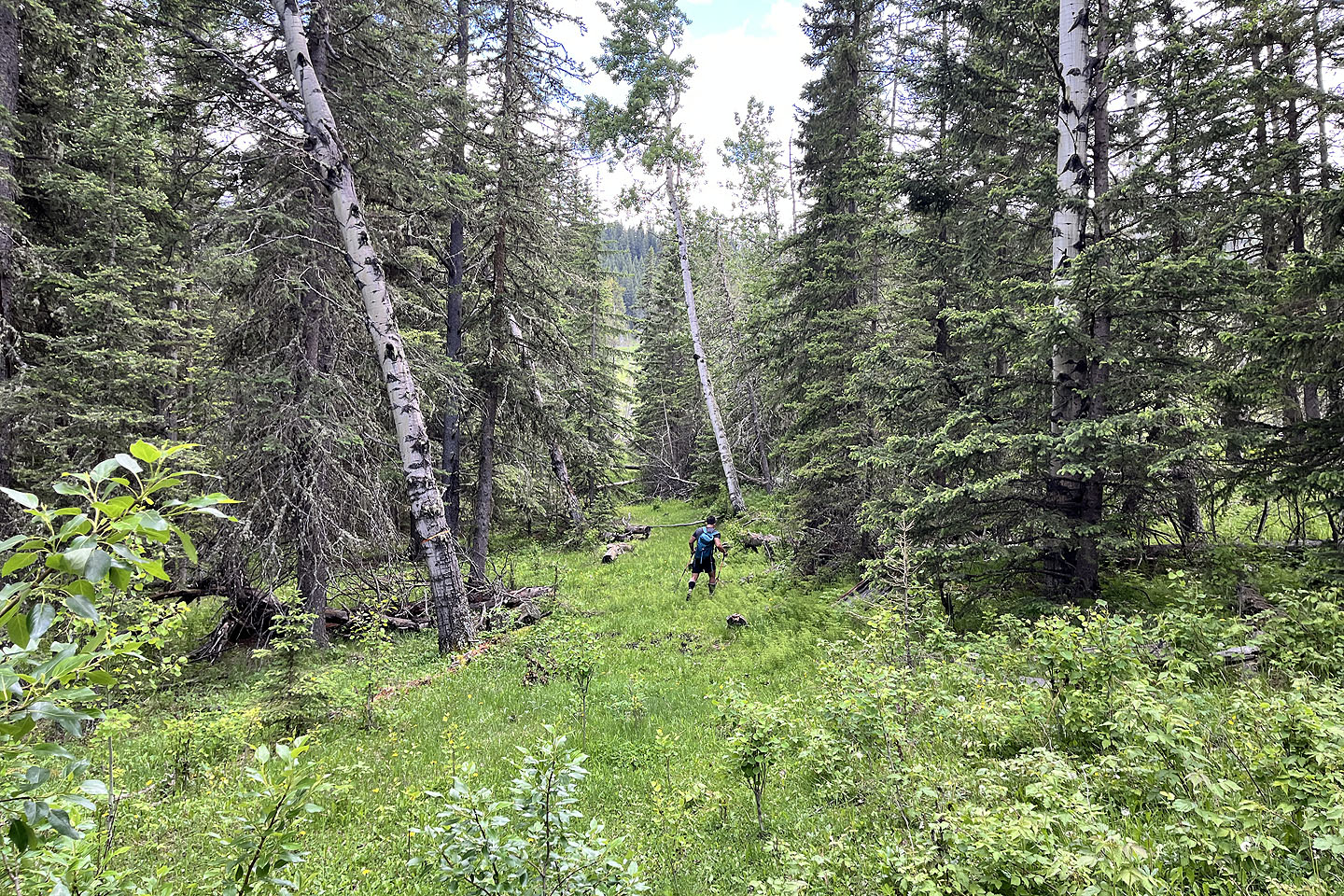
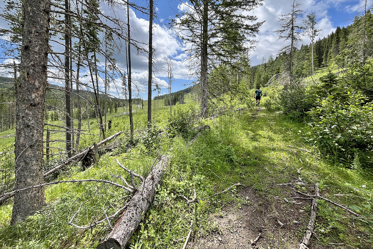
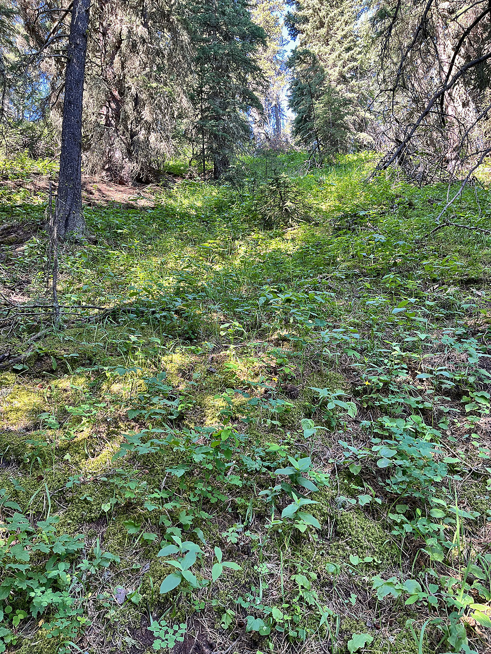
The trail continues into the forest in The Narrows
More mud!
The trail climbs briefly before descending
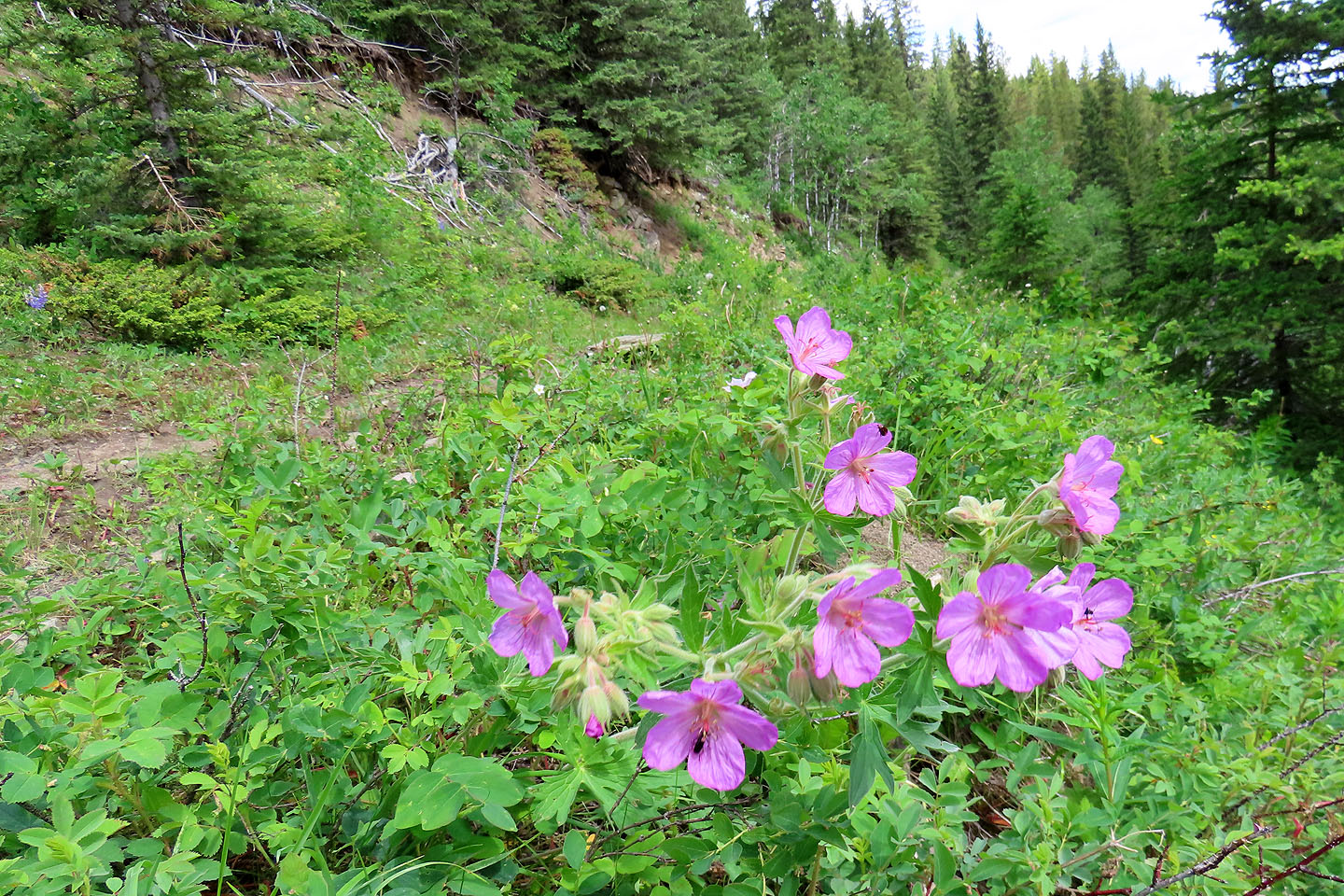 Purple geranium next to the trail
 Channell Ridge appears ahead. The trail bends to the right here.
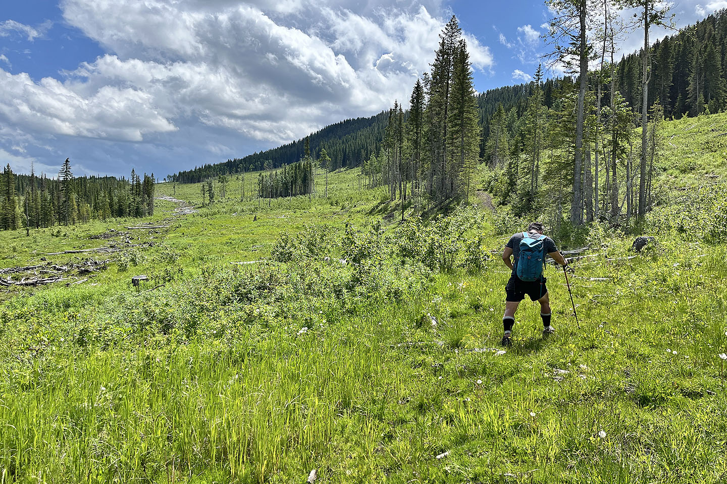
 Continuing down the road to the open valley
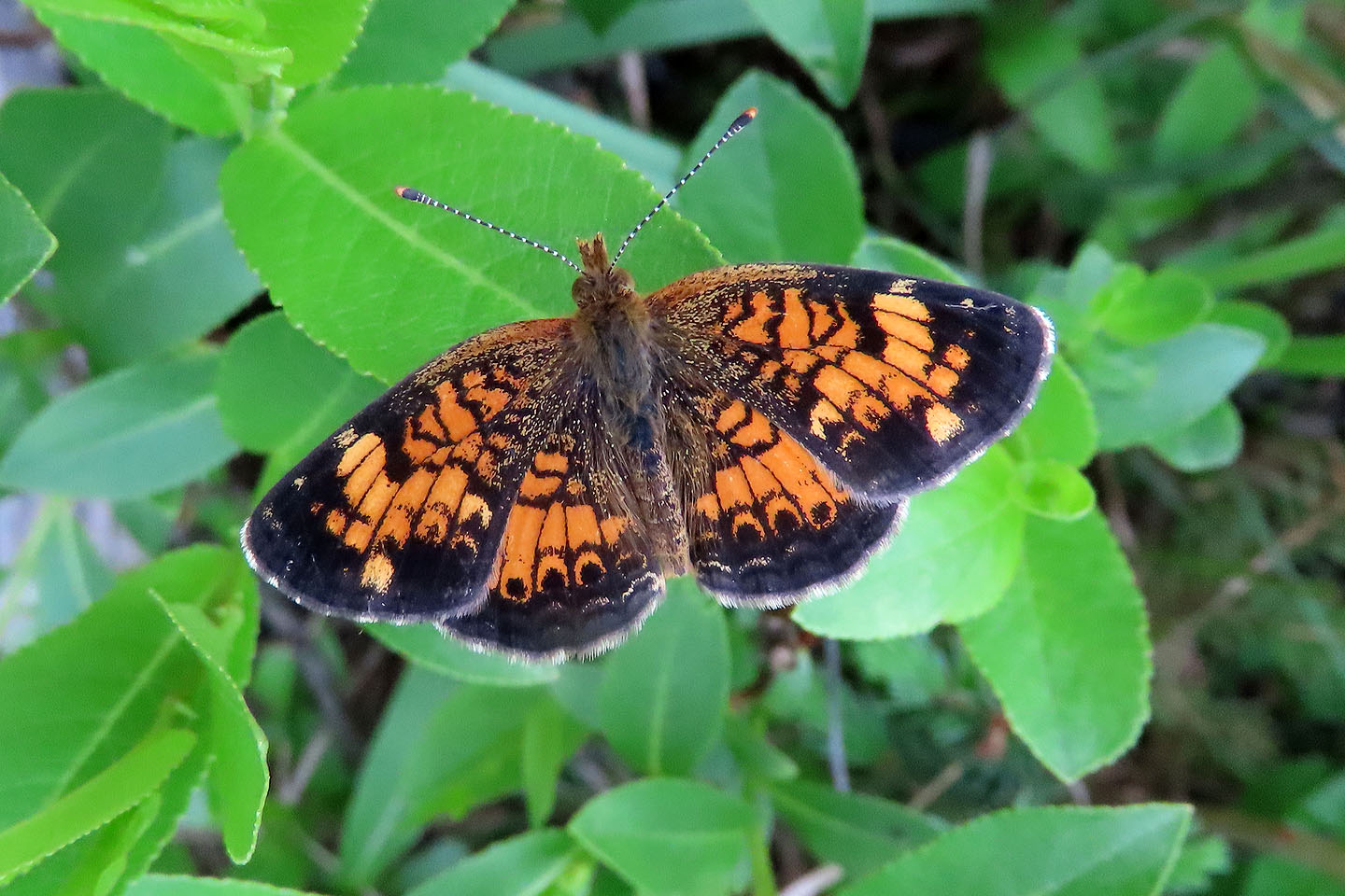 Colourful butterfly
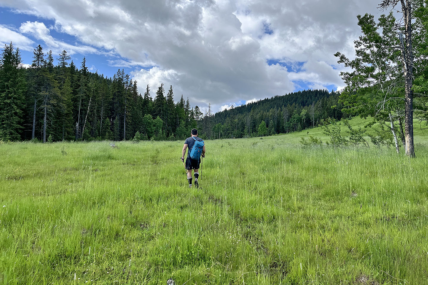
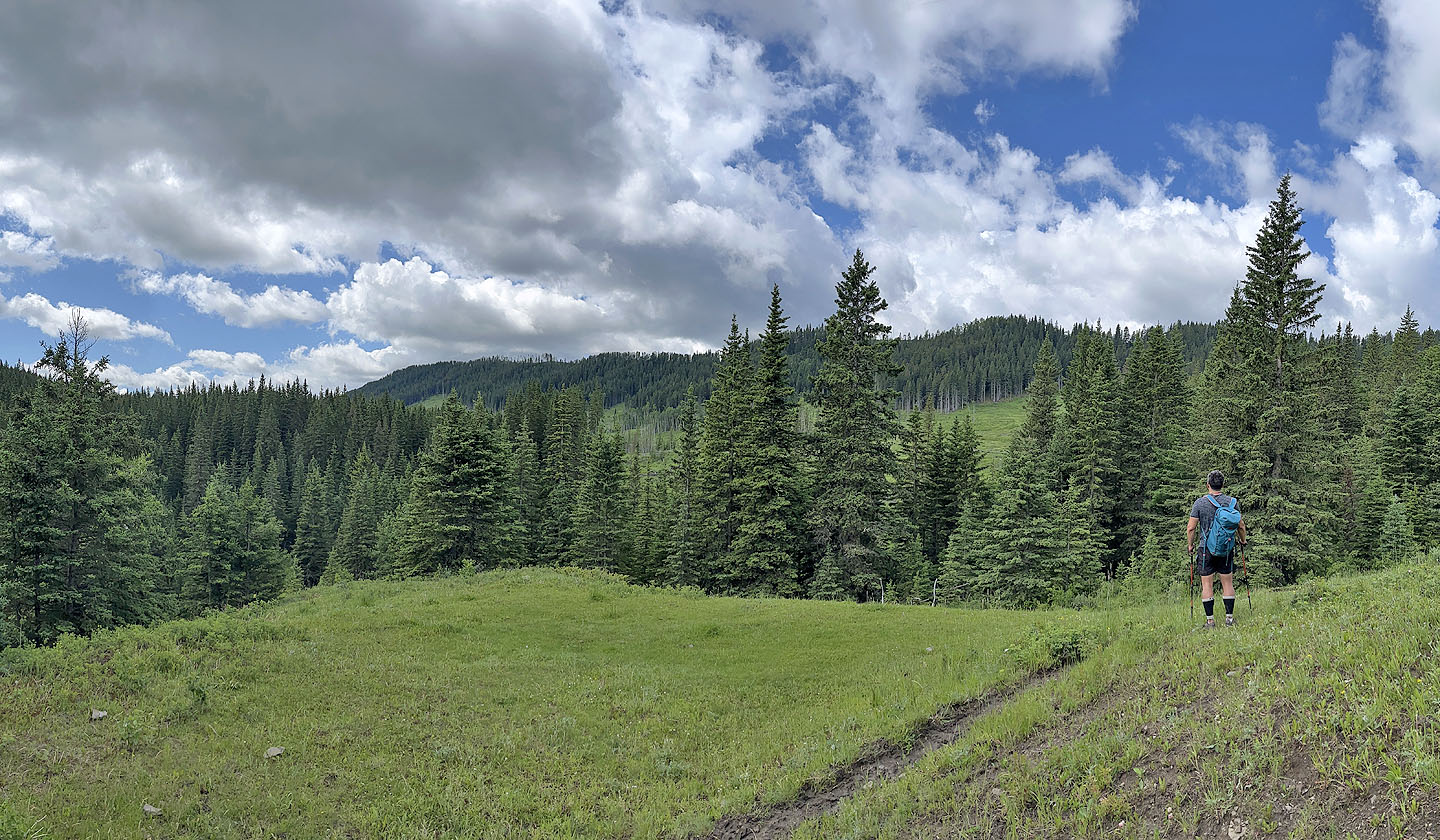
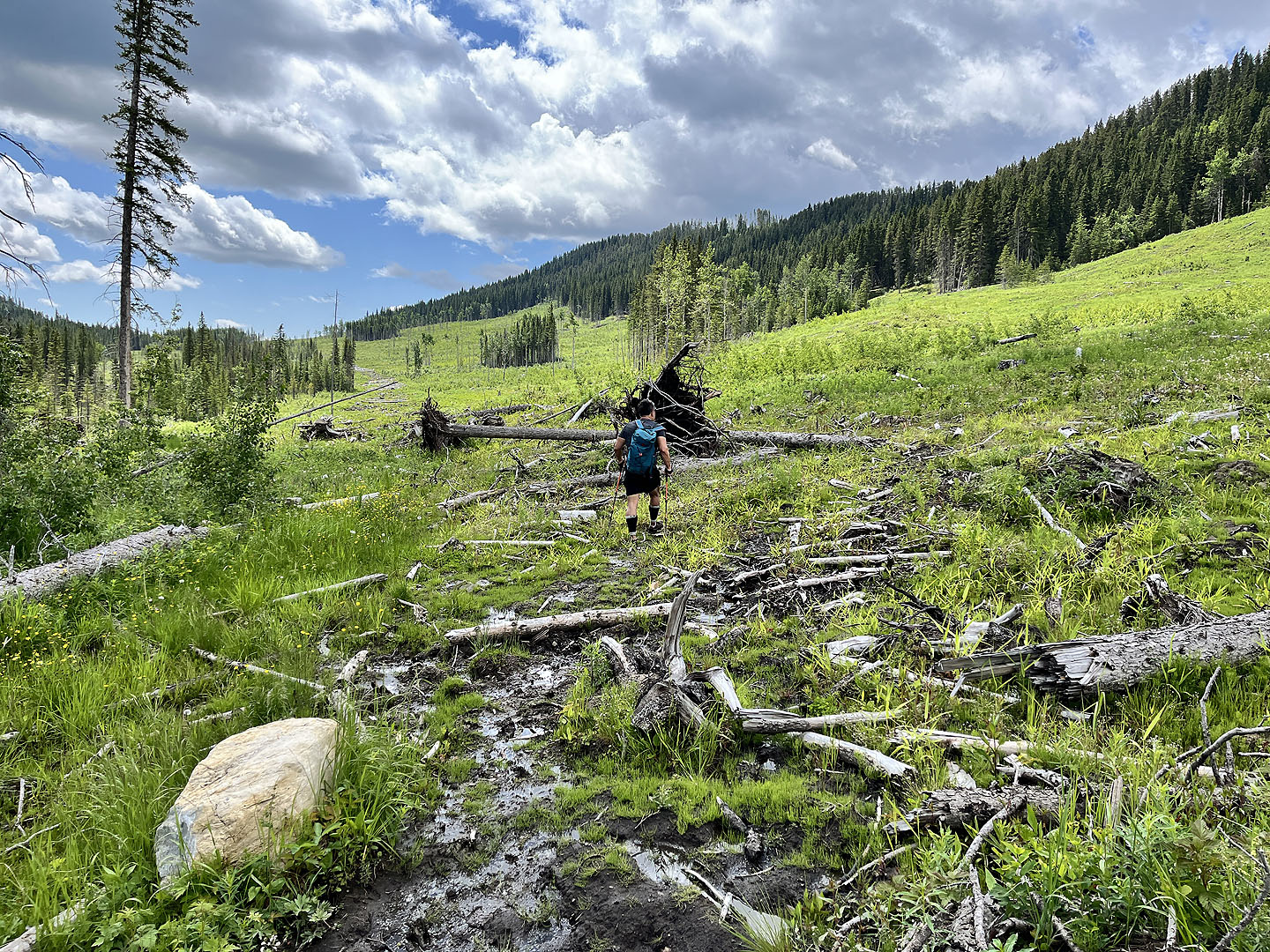
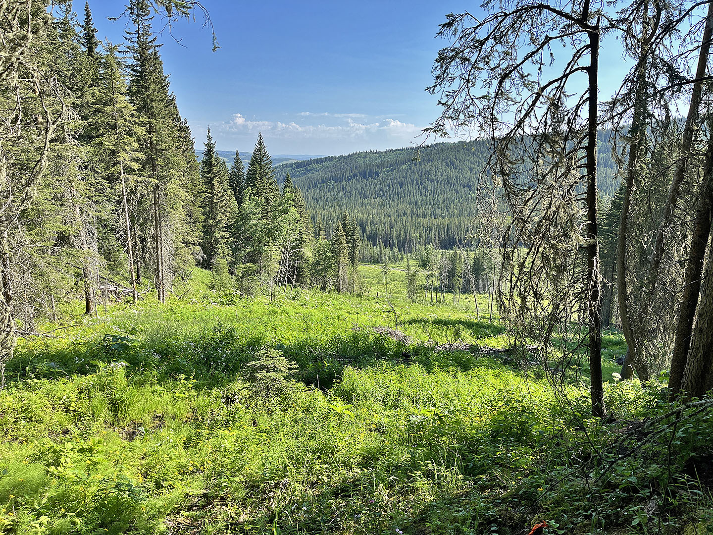
 Entering the valley
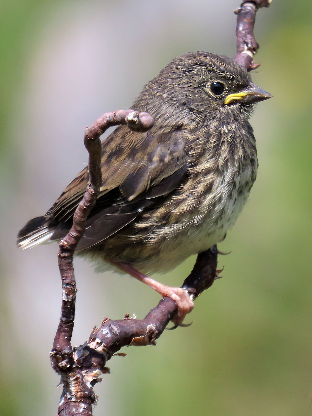
Immature songbird. Note the short tail feathers.
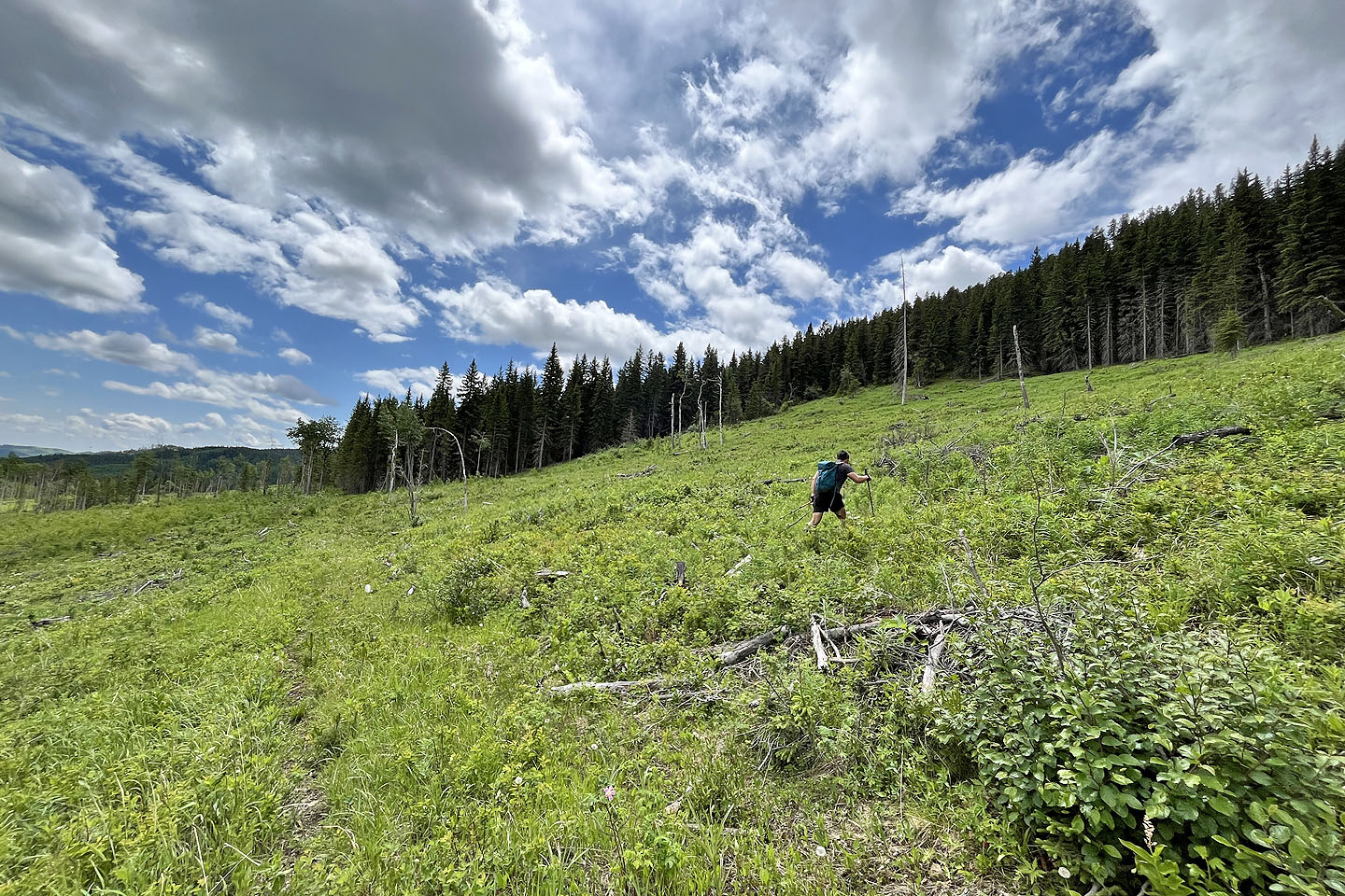
 We took a gentle angle up which led to the start of a logging road in the copse ahead
 If we hadn't approached the road head on, we probably would have missed it in the trees. Note the logging road covered in slash on the left.
 The road/trail ascends an easy angle
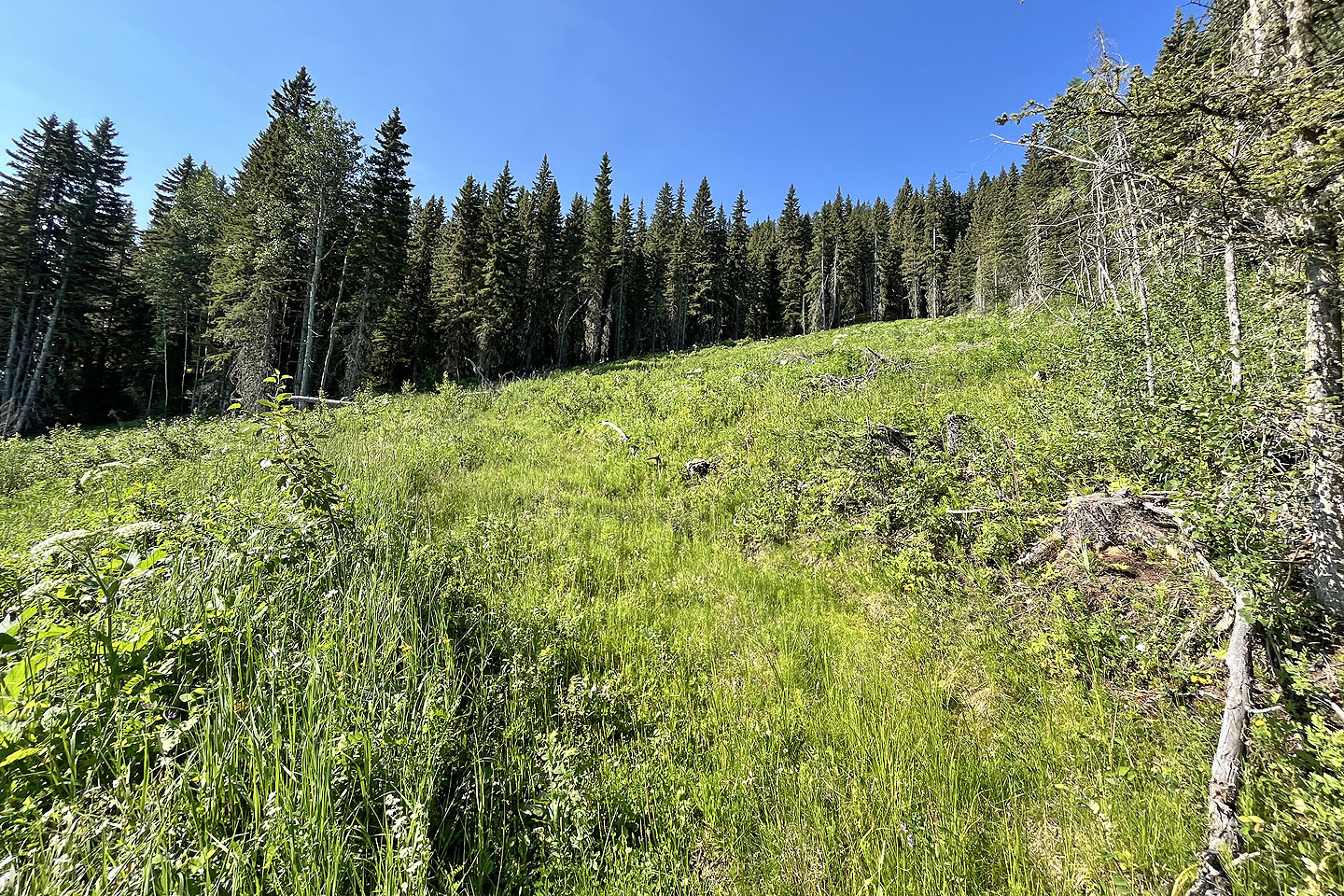
 Looking back, The Narrows appears in the background
 The trail ran in a straight line at first
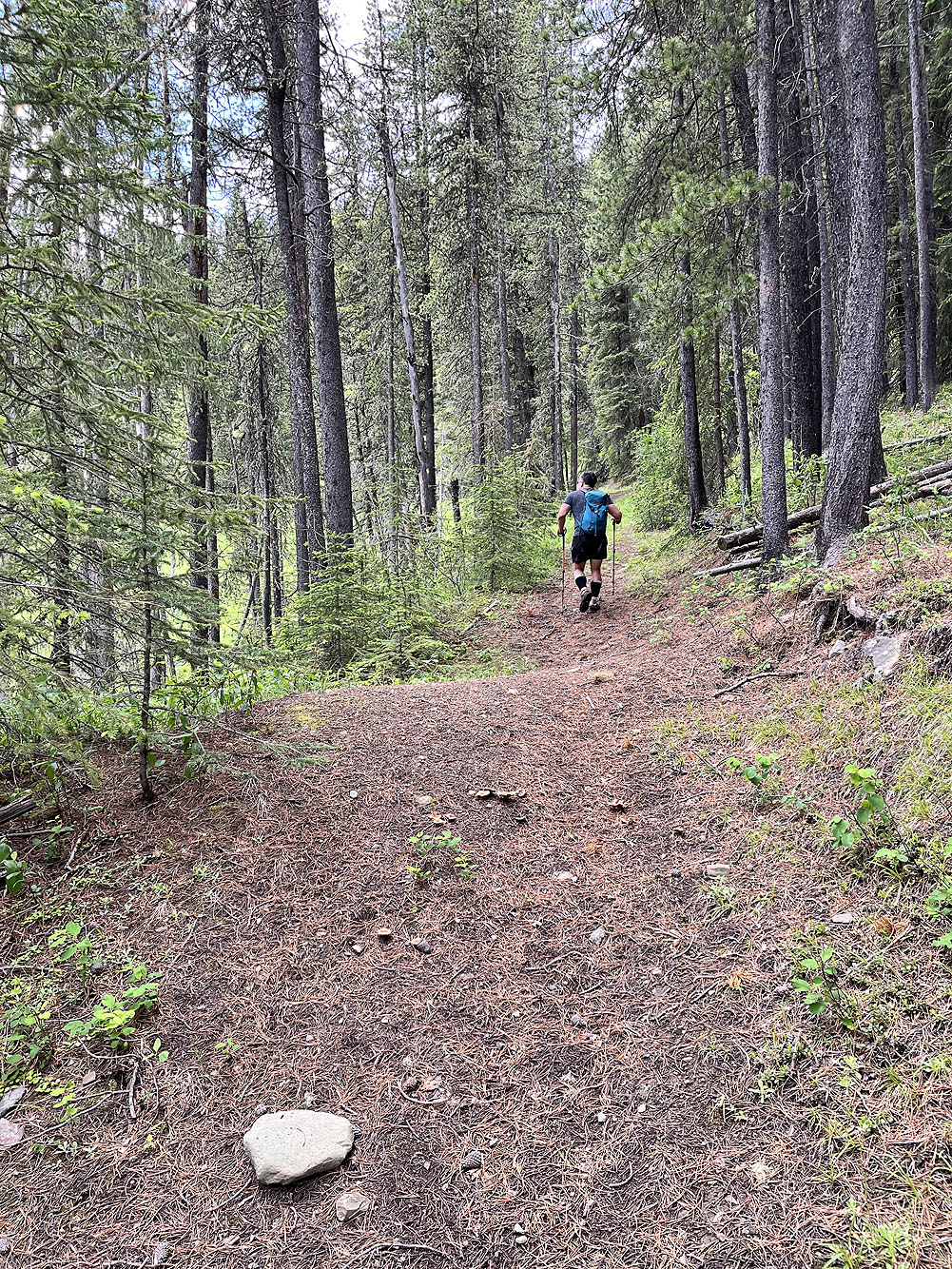
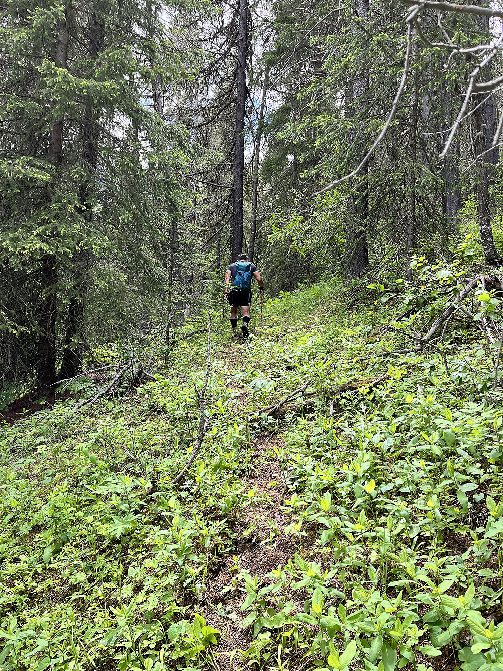
The trail levels off after entering the forest
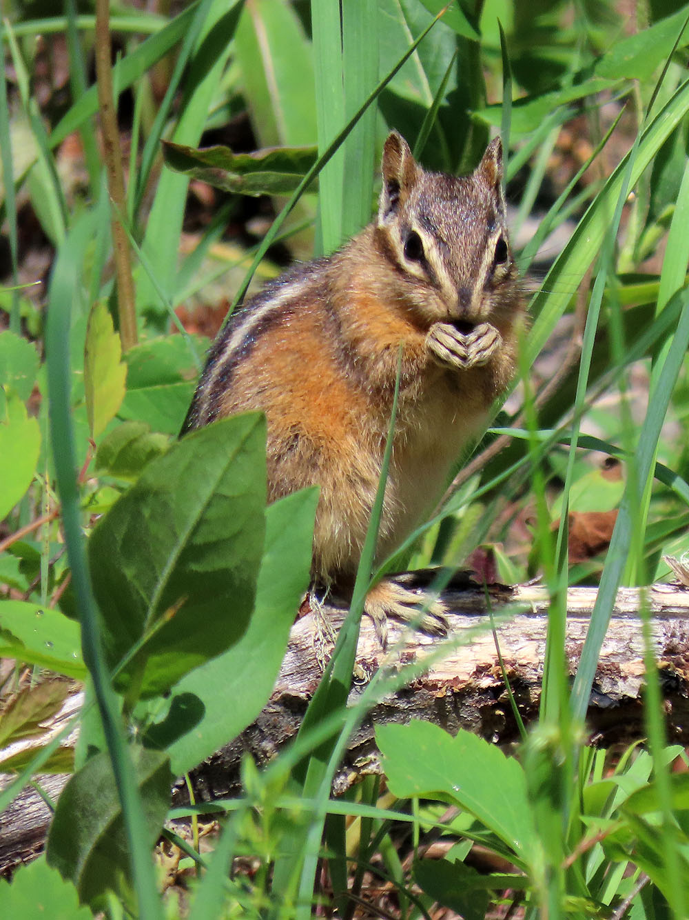
A chipmunk kept its eye on us while it fed
 We stayed on the trail until we reached a huge cutblock
 Going up the cutblock after leaving the trail
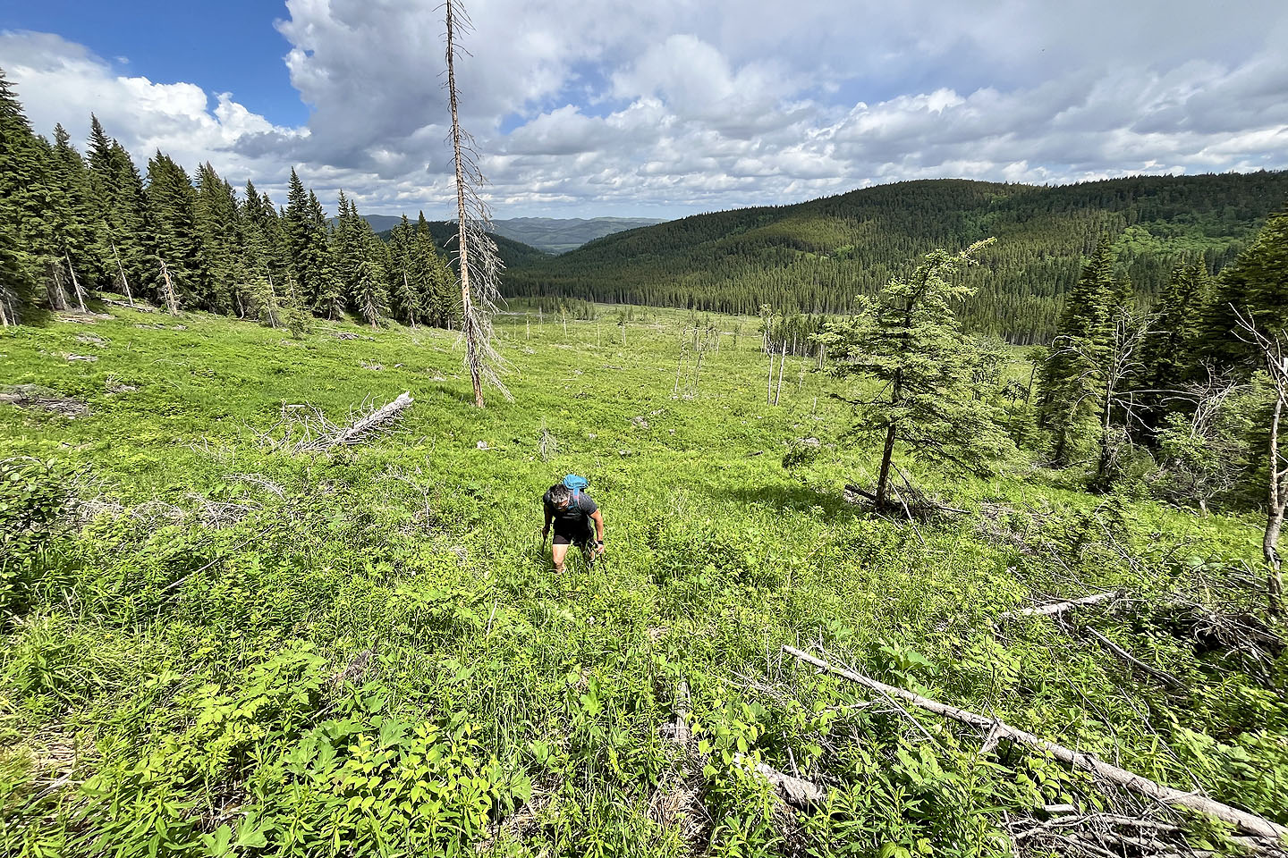 Looking back from the top of the cutblock
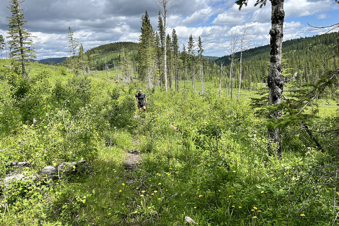
We followed an animal trail until it disappeared, and then we went straight
up the slope
The ascent was more like weed-bashing than bushwhacking, although
we encountered deadfall near the ridgetop
 After reaching the ridge, we spied a red milk crate ahead
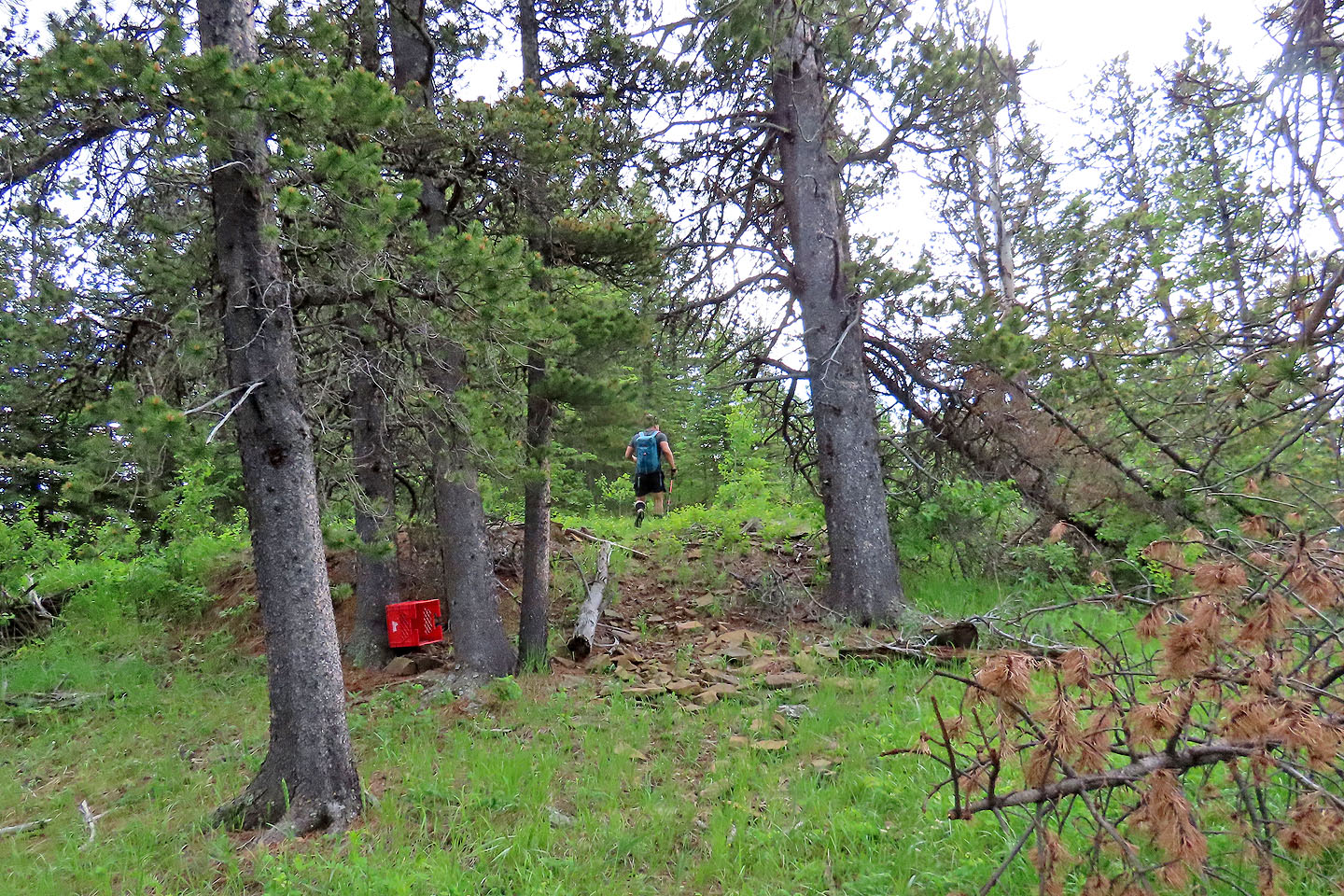 We continued past the crate
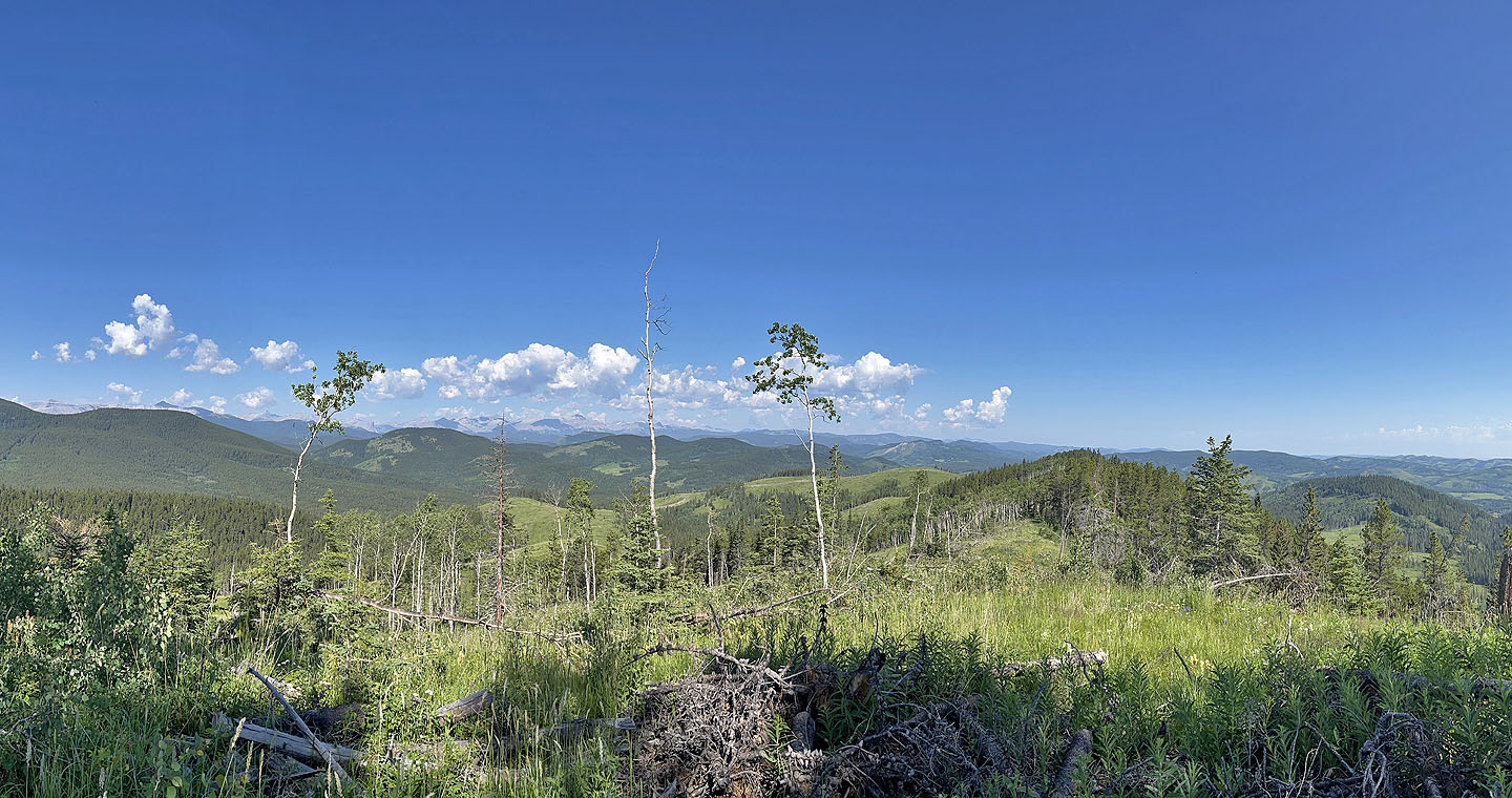
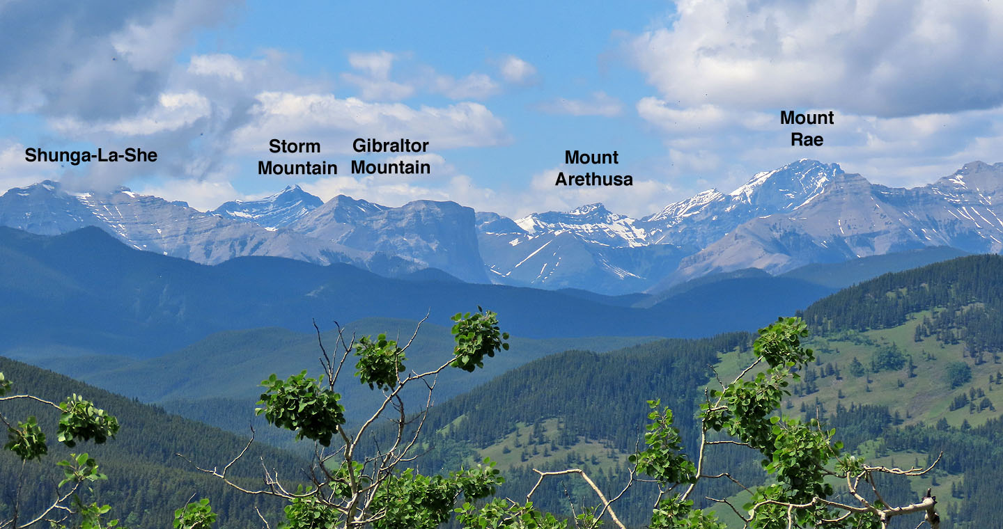 A few of the peaks we saw above the treetops
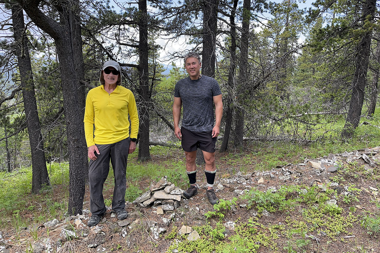 Standing next to the summit cairn
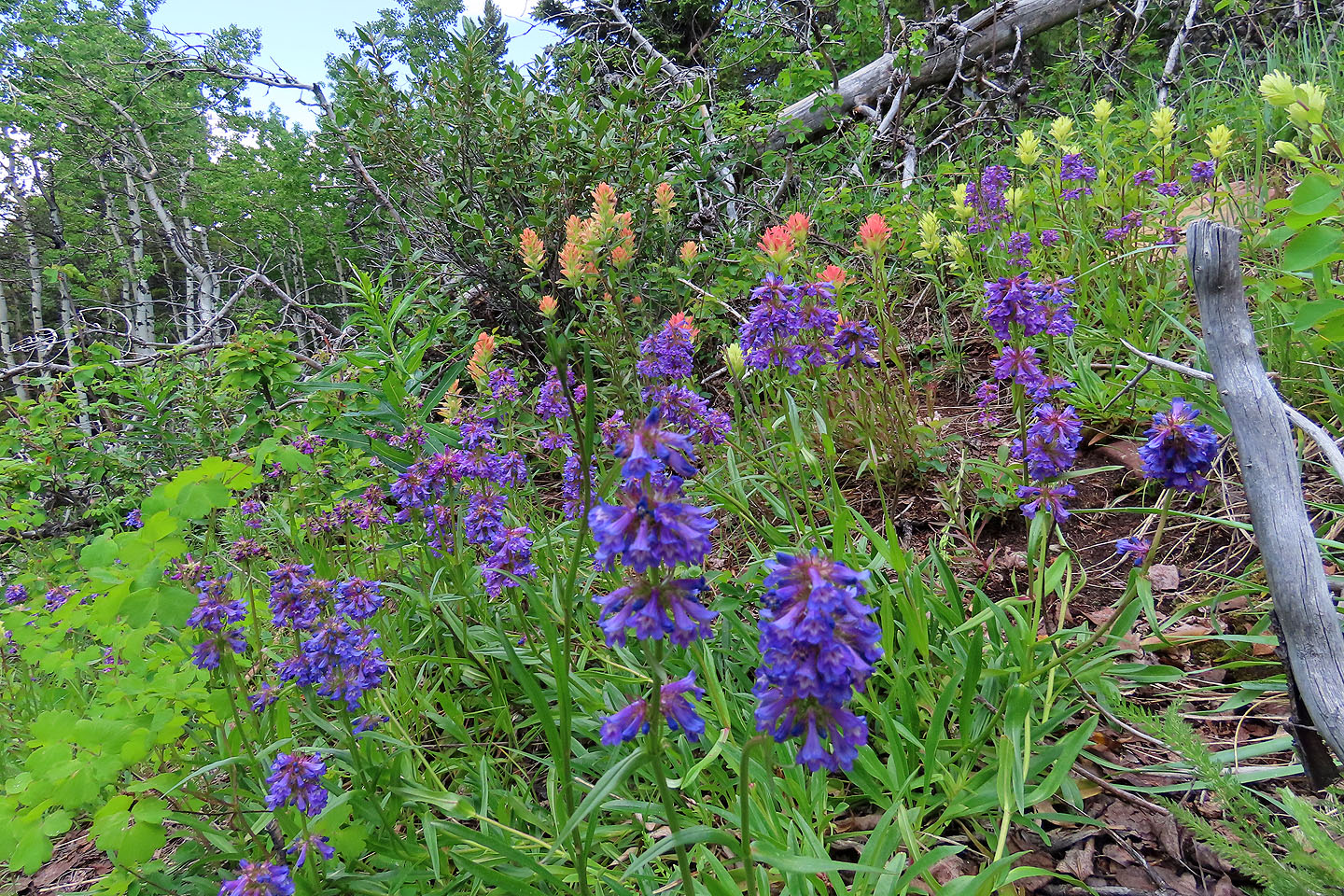 Near the summit, we came across a vivid display of wildflowers

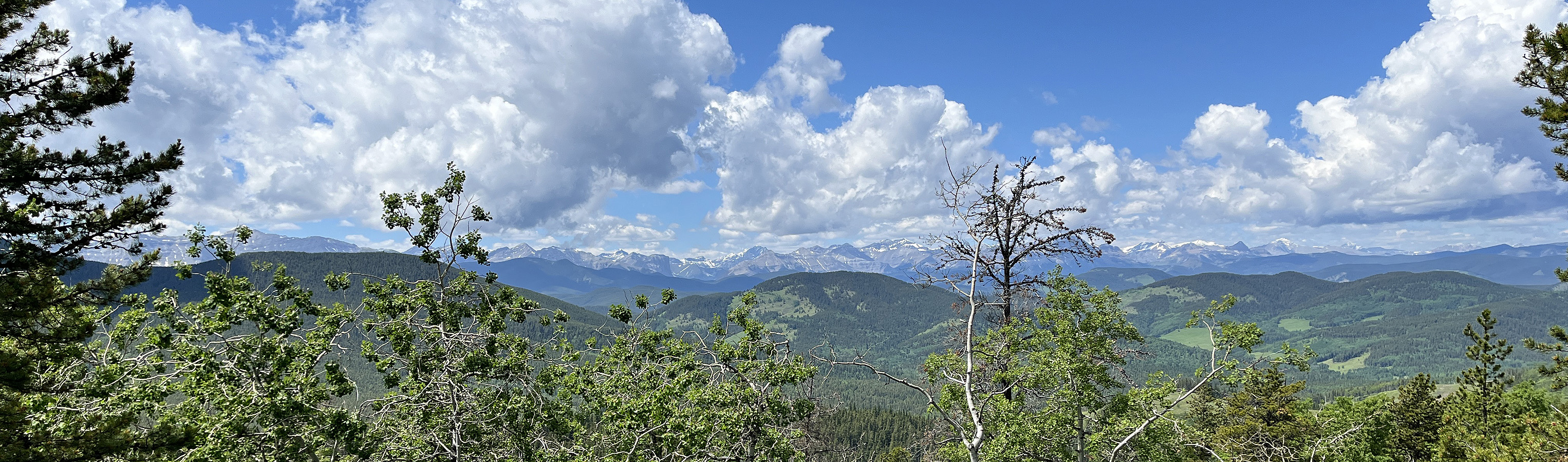
To take the photo at the top of the page, I climbed a dead tree
Direct Route to the Ridge
Two weeks after going up Channel Ridge, I returned to try another route. I went up the logging road from the valley like before. But after the long straightaway, where the road crosses a small cutblock and bends left, I went up the cutblock. At the top of the cutblock, I entered the forest and went up a steep slope. Bushwhacking was practically nonexistent; there were no bushes and trees were well-spaced. I reached the ridge crest a kilometre from the summit. I followed a sketchy ridge trail and skirted deadfall, but I welcomed an open ridge section with far-reaching views. I continued up the ridge until I saw the milk crate, reaching the spot from the other route.
With light bushwhacking and ridge views, I recommend the route up the small cutblock to the ridge. However, I also enjoyed following the logging road to the large cutblock. It's pleasant and probably quicker. Consider using it on the way down. The routes are equal lengths.
 When the road entered a small cutblock and turned left, I went up the cutblock
 Looking down from the top of the cutblock
There was little bushwhacking in the forest
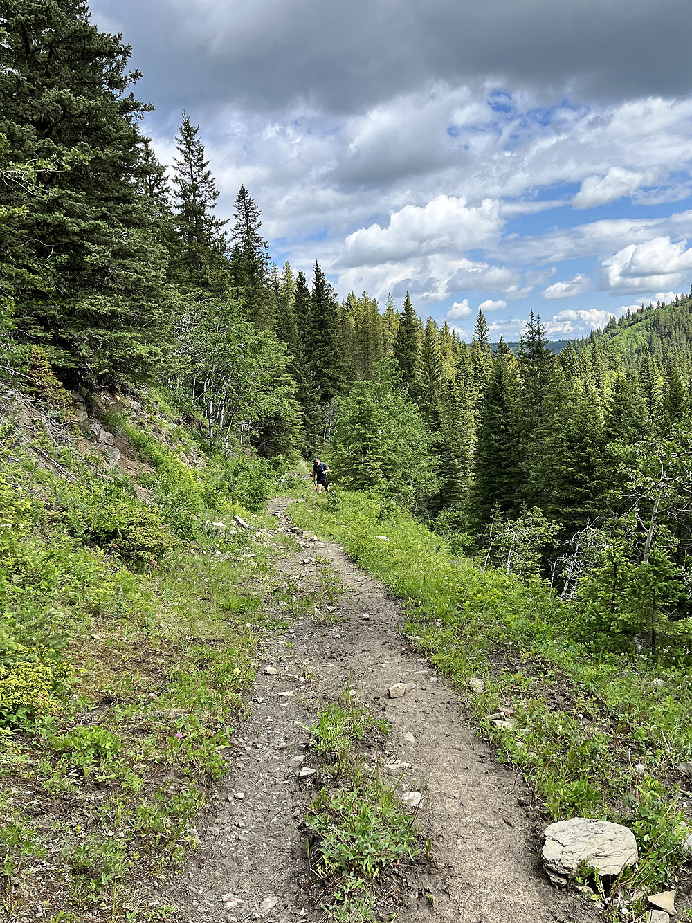
 Looking back from an open ridge section
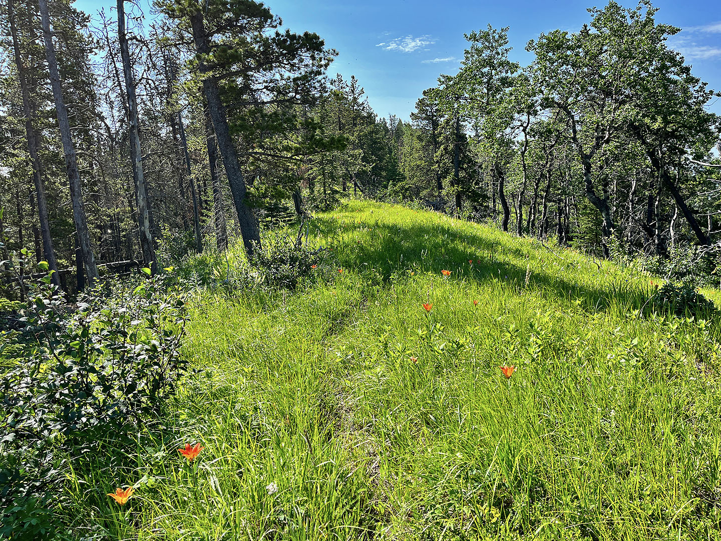 The ridge trail ranged from vague to nonexistent. Western wood lilies lined the trail.
82 J/6 Turner Valley