bobspirko.ca | Home | Canada Trips | US Trips | Hiking | Snowshoeing | MAP | About
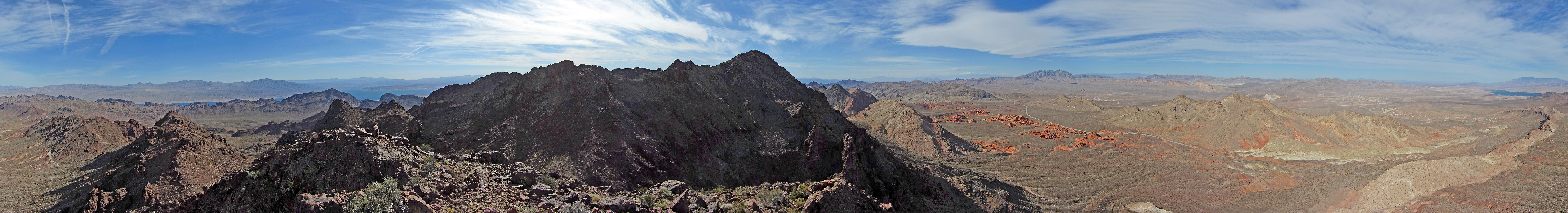
Panorama from East Redstone Peak
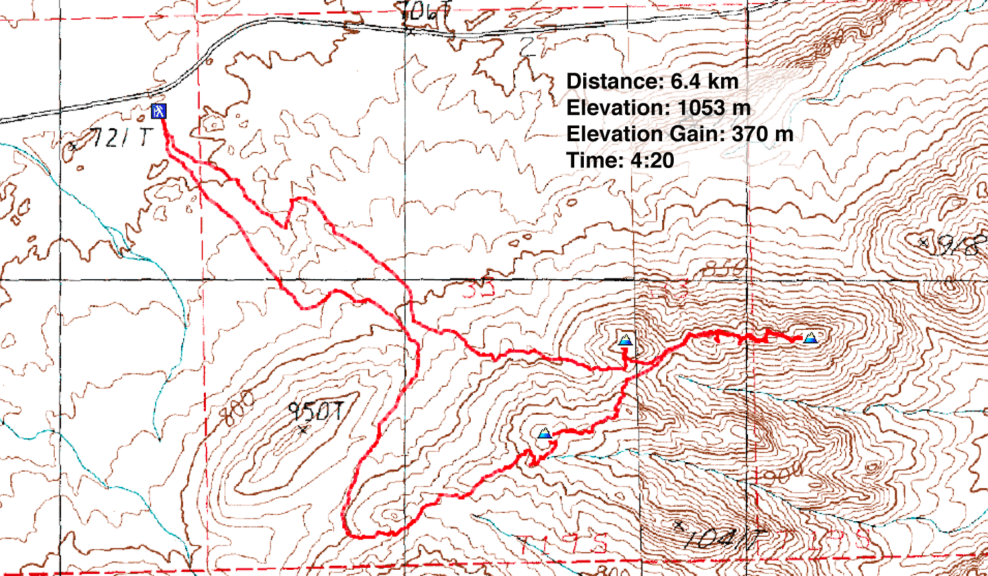
Redstone Peak, East Redstone Peak, Tall Cairn
Lake Mead NRA, Nevada
January 25, 2018
Distance: 6.4 km (4.0 mi)
Cumulative Elevation Gain: 509 m (1670 ft)
Redstone is both a beautiful picnic area and the trailhead for several small peaks including Redstone Peak, East Redstone Peak and Tall Cairn. The trio of peaks are close together and are all class 2.
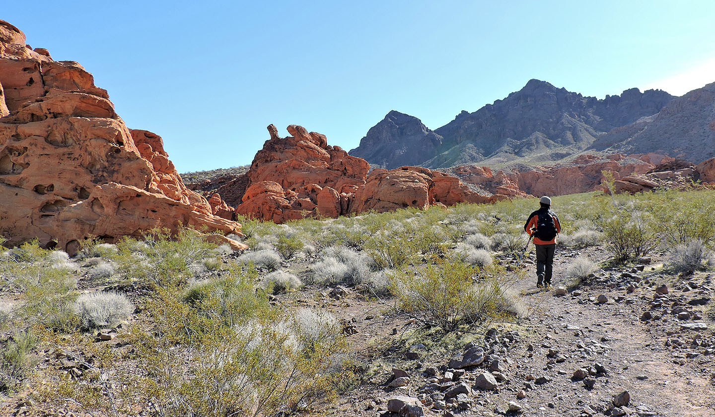
From the parking lot, Shin and I meandered through the towering russet sandstone outcrops before ascending a low ridge below the col separating East Redstone and Redstone. The ridge leads to the base of cliffs where aided by sheep trails, we made our way up the col. At the col, a left turn and a short hike brought us to the top of East Redstone Peak.
Our next objective, Tall Cairn, lay east at the end of a long ridge. We dropped down almost to the col, before heading to the ridge. The four bumps along the ridge before the summit make this an uneasy ridgewalk. So instead of following the crest, we skirted the first, second and fourth bumps on the left, but hiked over the third. The conspicuous cairn on Tall Cairn left no doubt that we had reached the summit.
After lunch, we retraced our steps back to the col and started up our last and highest peak that day, Redstone. We were well on our way to the summit when Shin nearly stepped on a baby rattlesnake, deadly even at a young age. Coiled, it looked small enough to fit in the palm of your hand; stretched out it appeared to be a foot long. Disturbed by our photographing, it unwound and slithered away to hide under a bush.
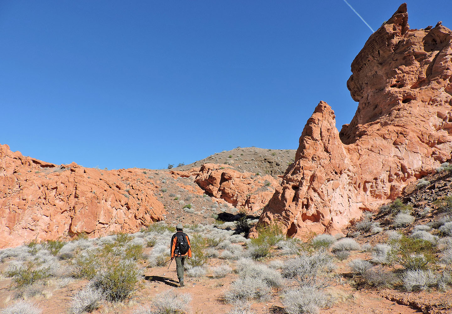
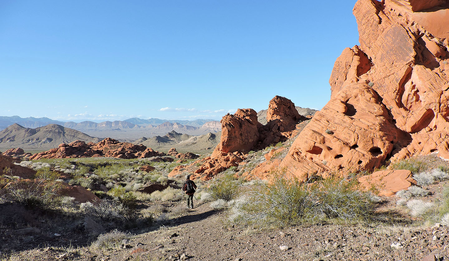
A short time later, we arrived on Redstone Peak. Unlike the other two peaks, there was no summit register. After taking photos, we dropped down the other side and made our way to a long, curving wash. It wasn't the most direct route down, but it was simple and easy. After passing through the sandstone outcrops at Redstone – worth exploring in and of themselves – we were back at the car, in time to face the rush hour traffic in Las Vegas.
From Redstone we set out for the col ahead, between East Redstone Peak and Redstone Peak
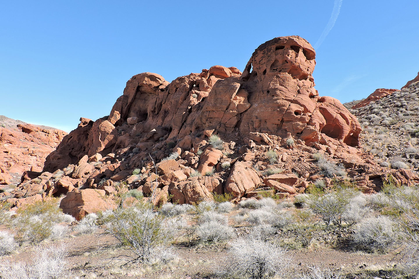
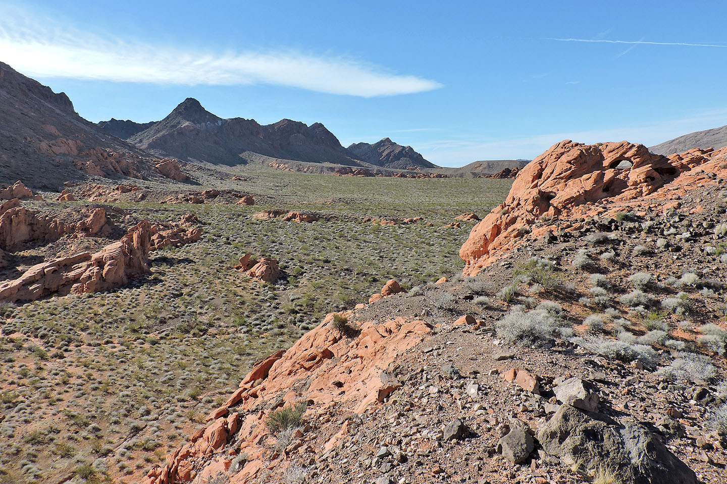
Along the way, we were pleasantly distracted by the intricate sandstone outcrops
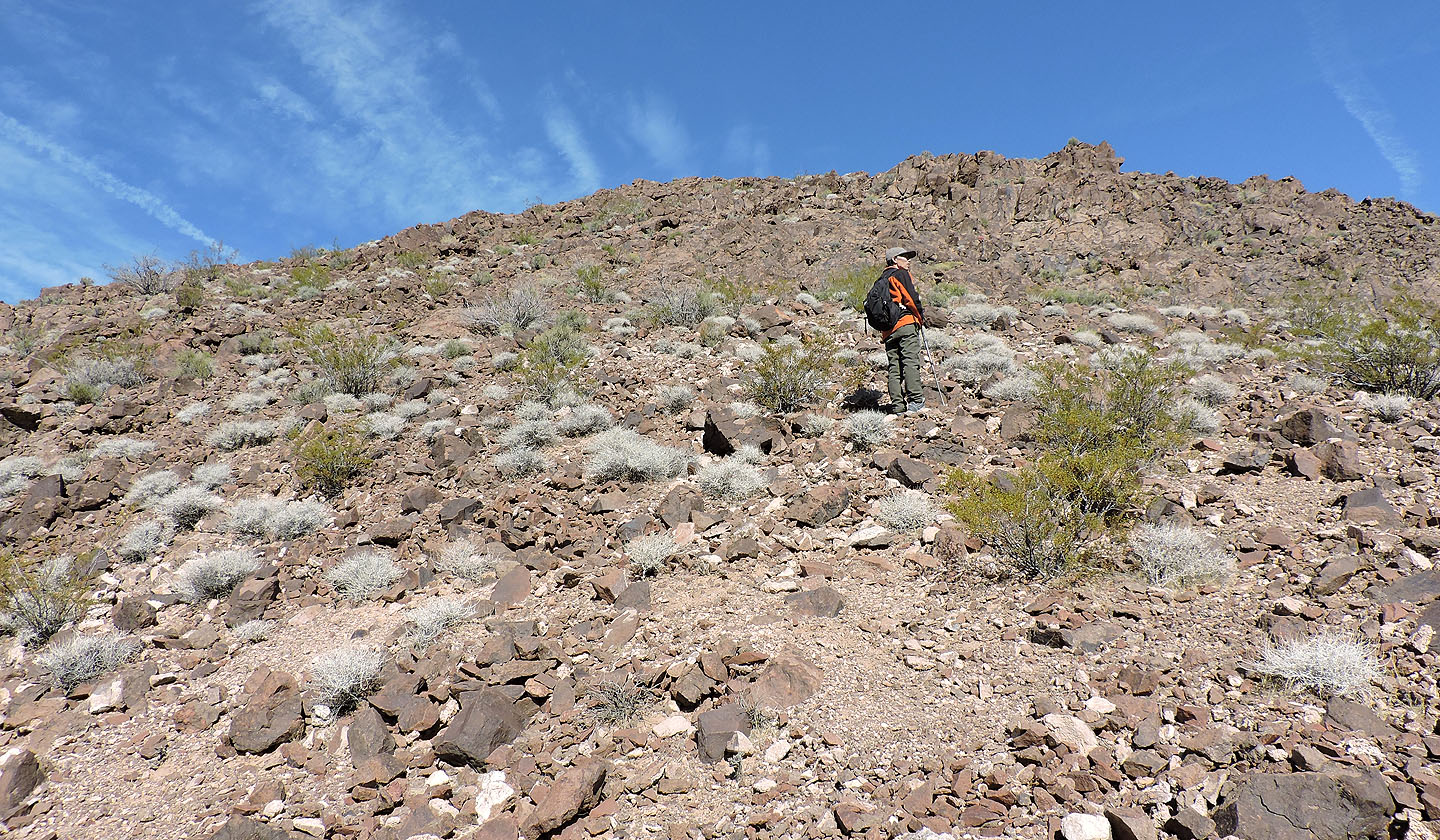
We made our way to a low ridge that leads to the peaks
Looking back after we gained the ridge
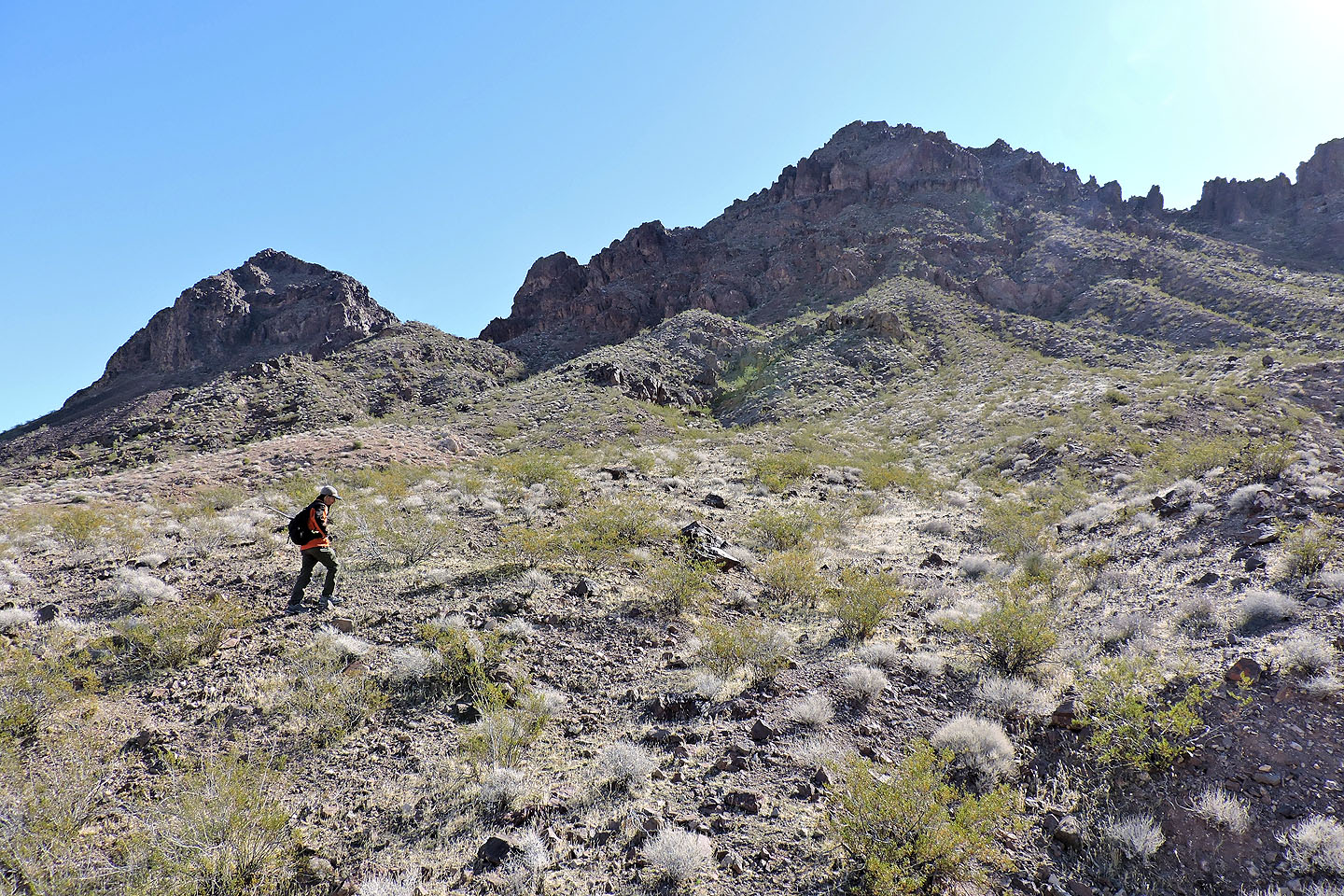
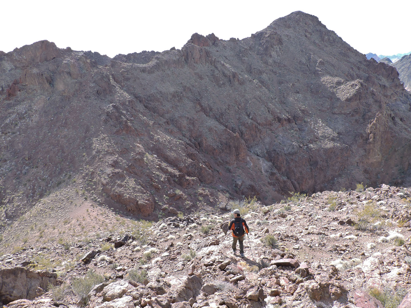
Above us is the col we want to reach
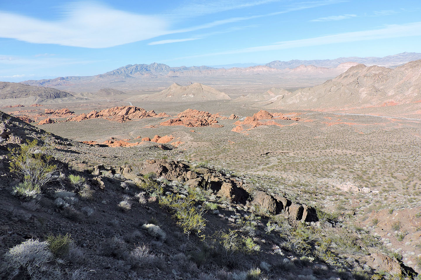
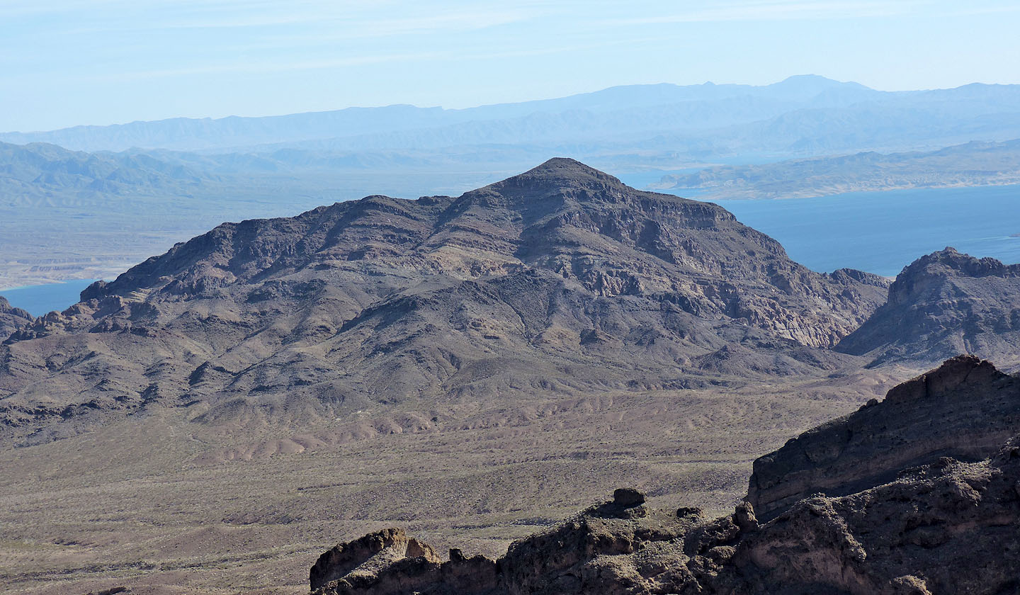
Looking back at Redstone. Muddy Mountain and Muddy Peak are left, on the skyline.
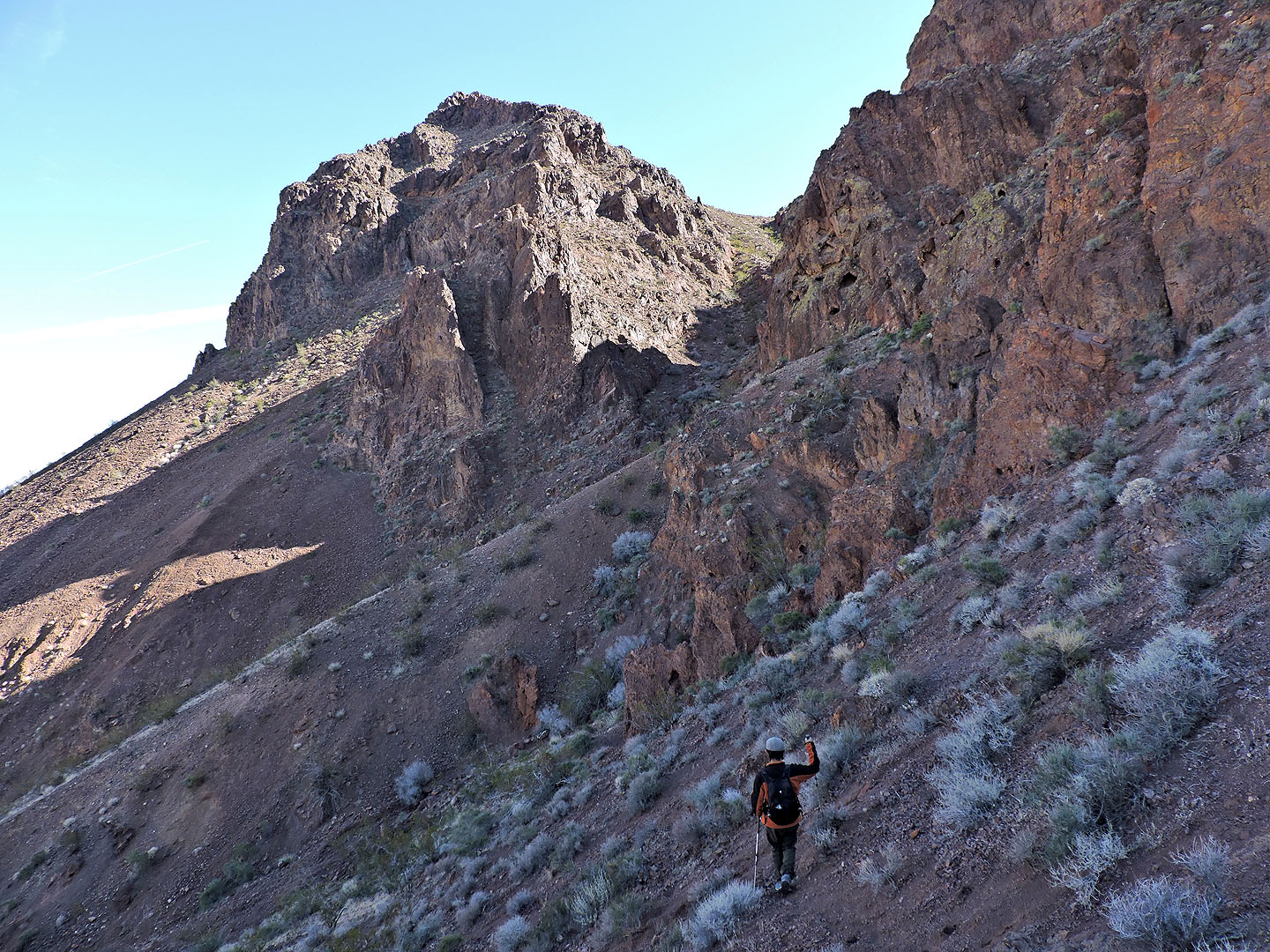
After reaching the base of cliffs, we used sheep trails to traverse to the col
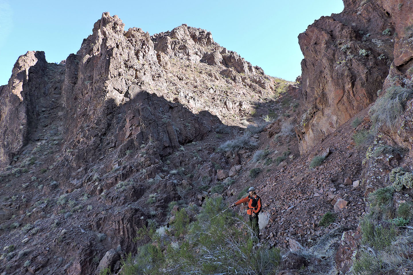
As we approached the col, Shin pointed out another possible ascent route, although it would mean parking farther up
the highway
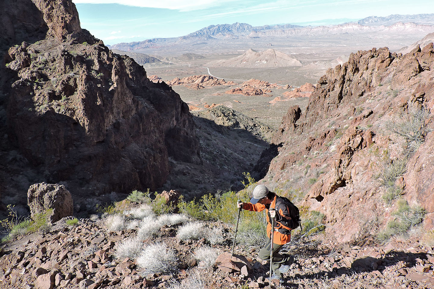
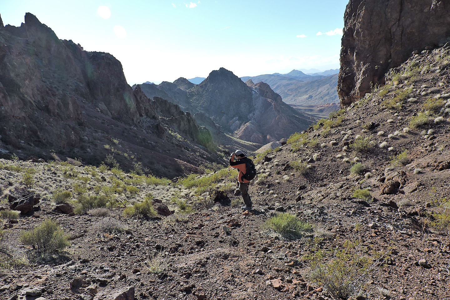
Looking back just before reaching the col
It's a short hike from the col to the summit of East Redstone
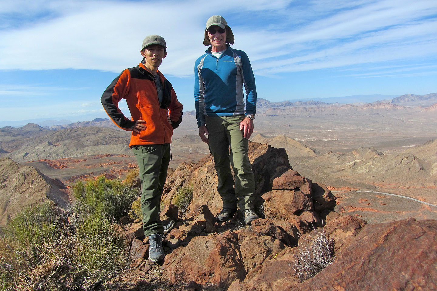
On the summit
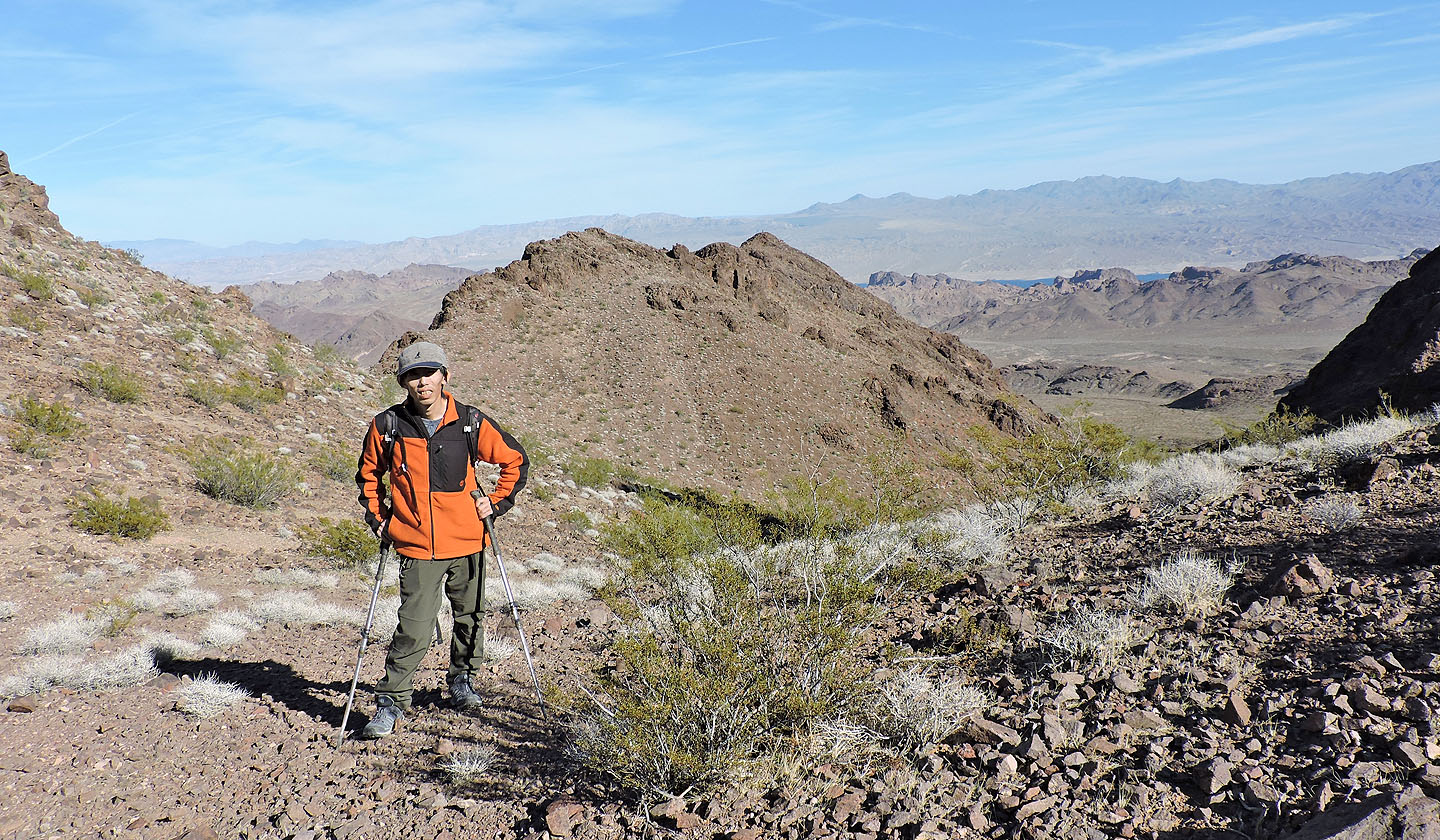
We descended partway to the col before heading to Tall Cairn. Redstone Peak on the right.
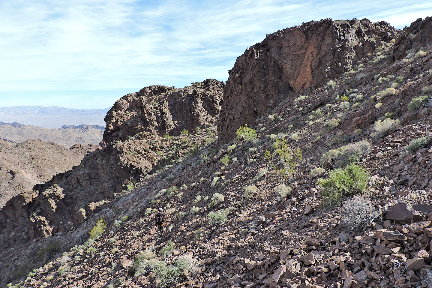
We headed to the ridge that leads to Tall Cairn
We passed the first bump along the ridge on the left
Looking back at East Redstone Peak
We passed the second bump on the left as well
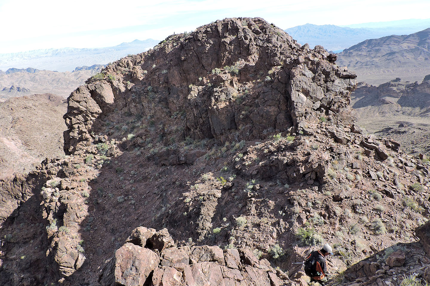
After climbing over the third bump the fourth bump lies ahead
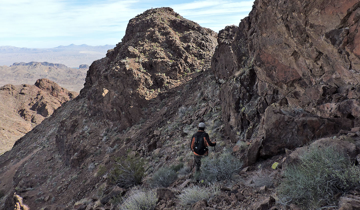
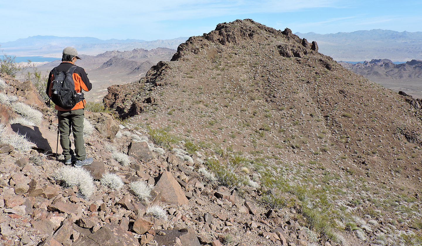
We circumvented the fourth bump on the left. The summit cairn is barely visible.
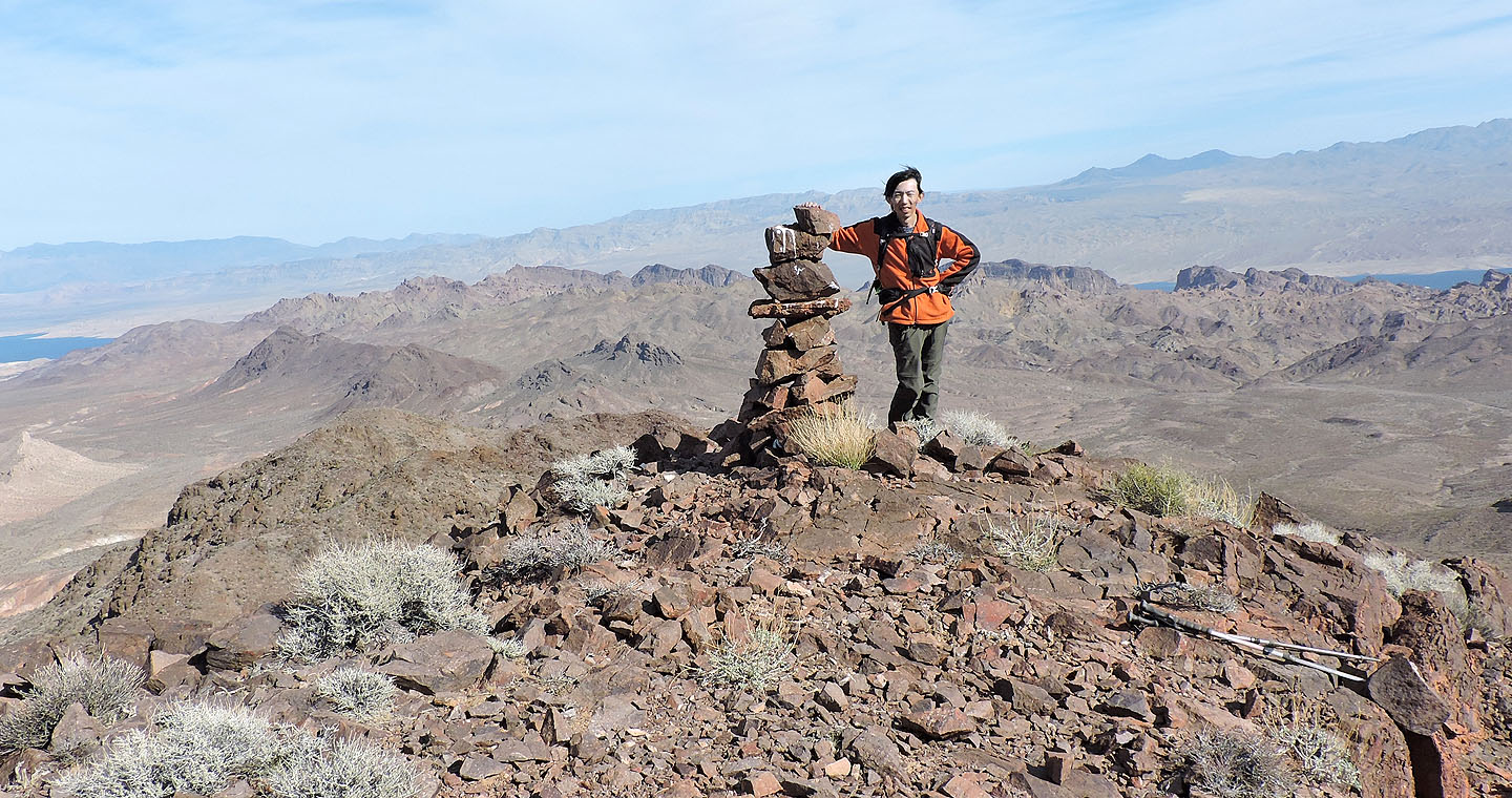
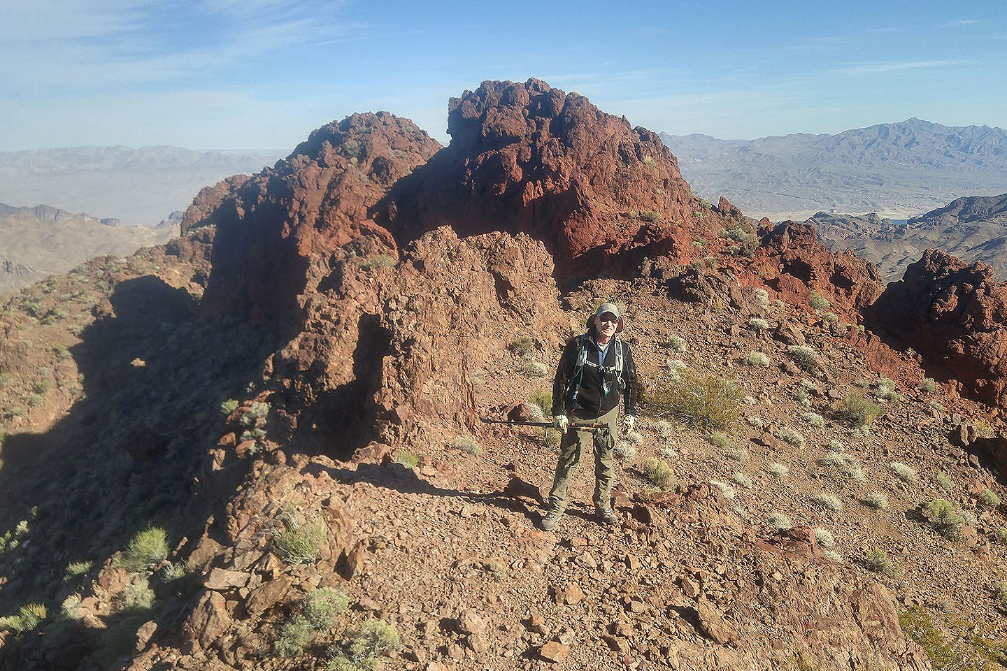
Shin leans on the cairn that gives this peak its name

Panorama from Tall Cairn
Manganese Peak lies east
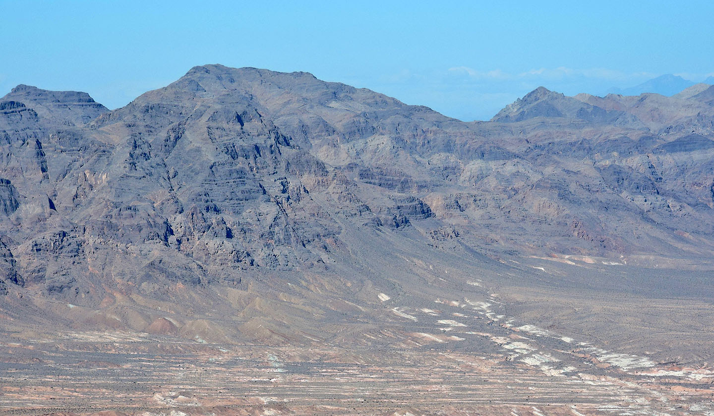 Longwell Peak (aka Fire Peak) lies north
Back at the col with Tall Cairn in the background
On our way to Redstone Peak
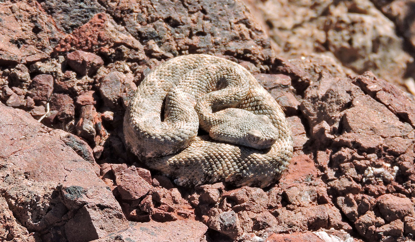
We came across this baby speckled rattlesnake just below the summit
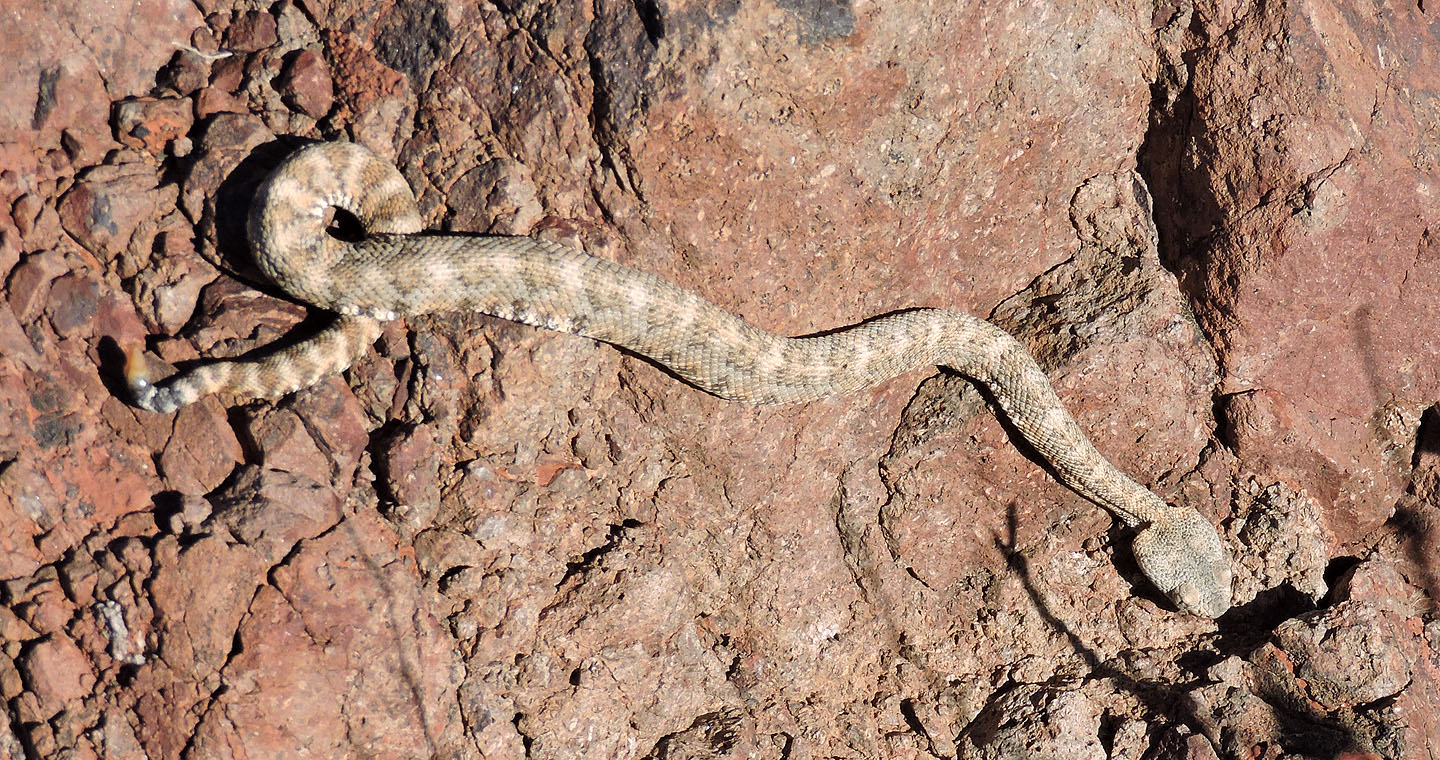
The snake's single rattle suggests it was less than a year old
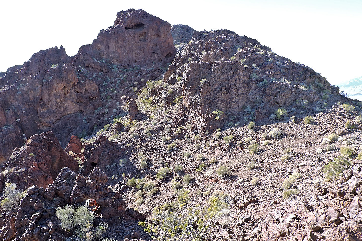
On the ridge, Shin peers through a window (lower left)
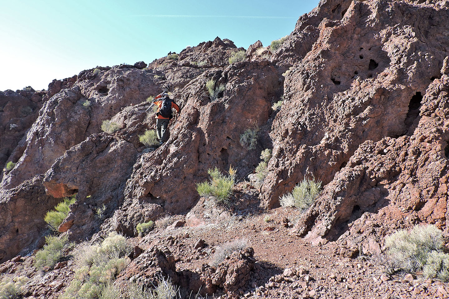
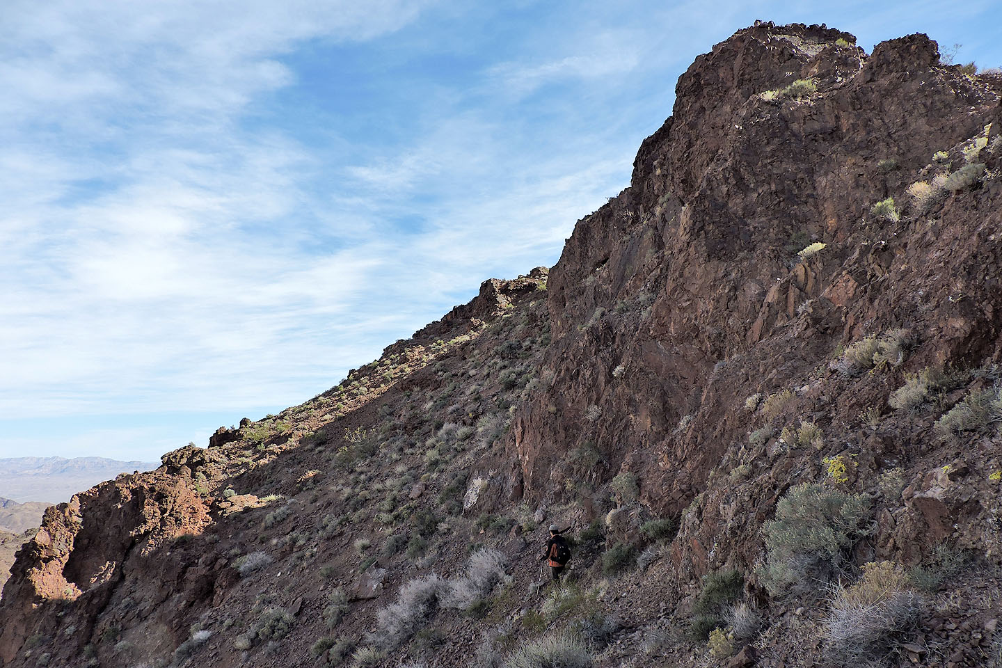
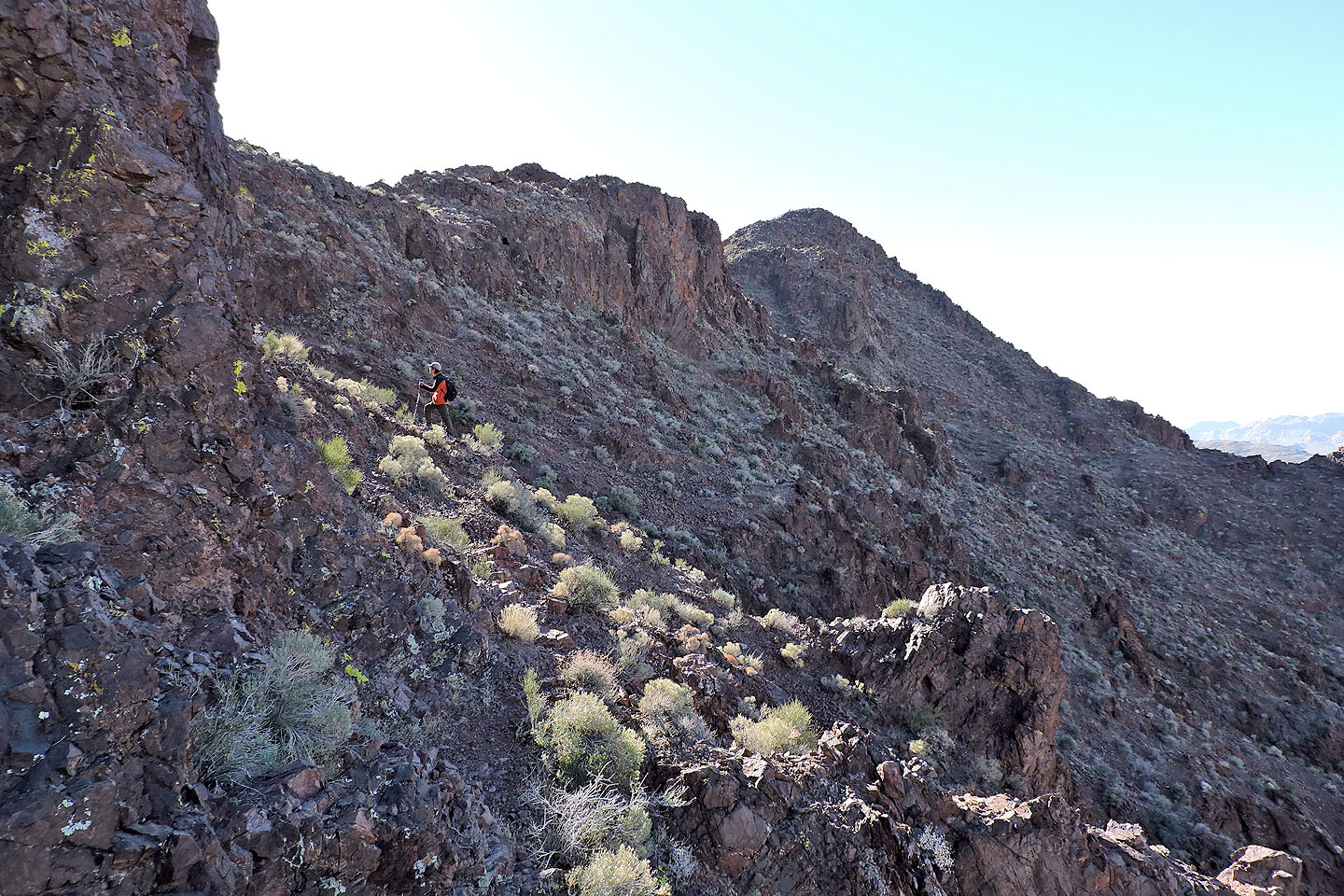
When we hit a cliff, we traversed left before regaining the ridge
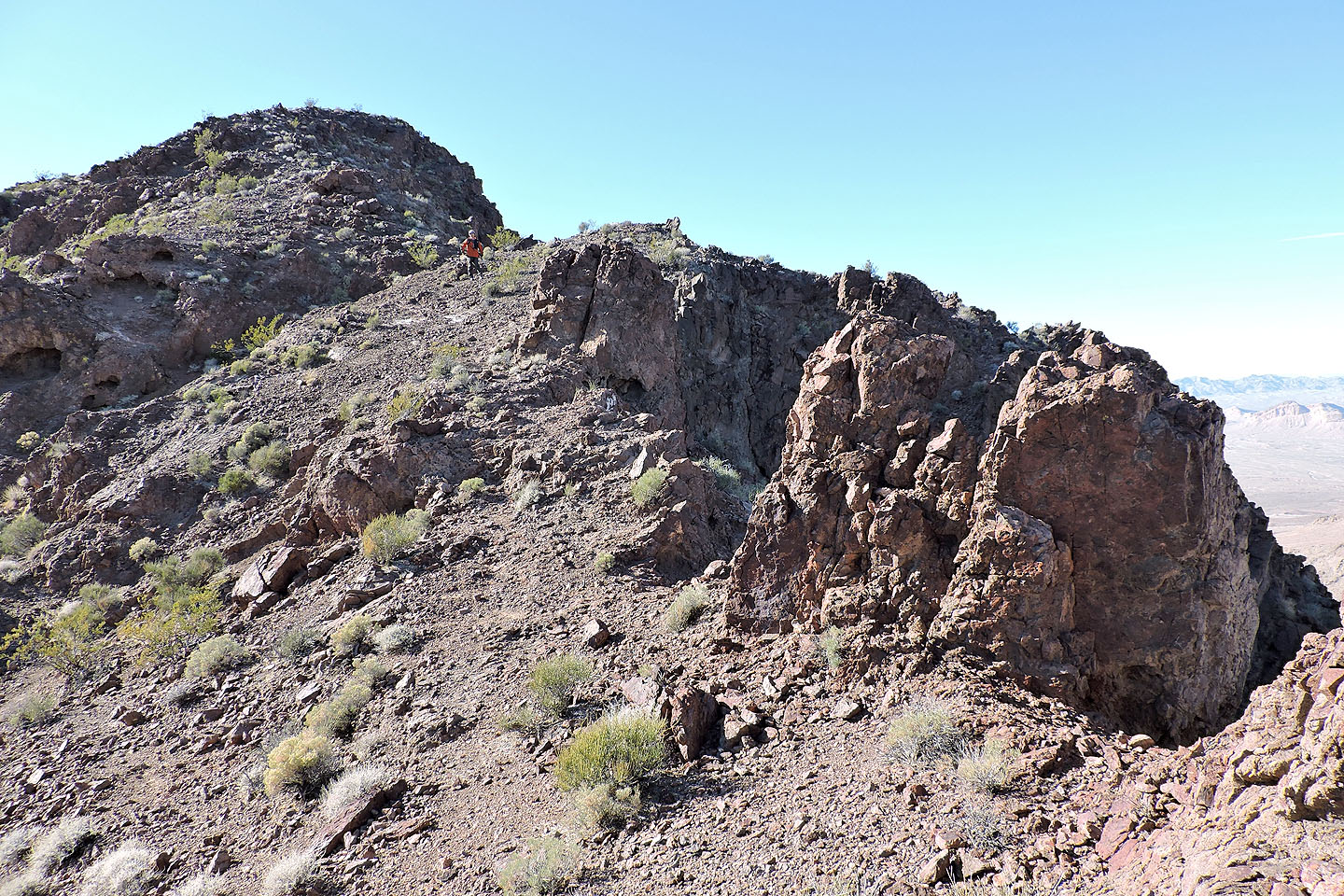
Back on the ridge, the summit is ahead
 Looking back along the ridge
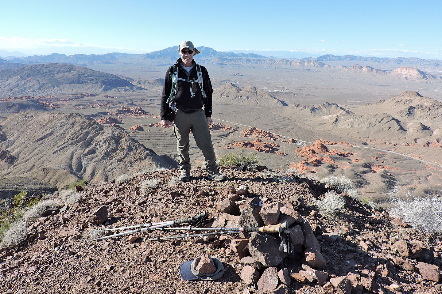
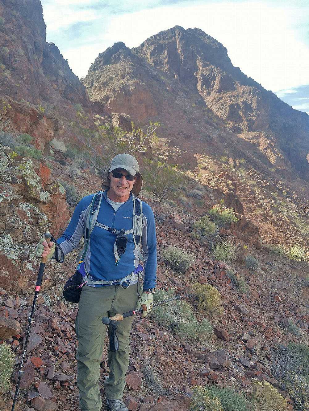
On the summit of Redstone Peak
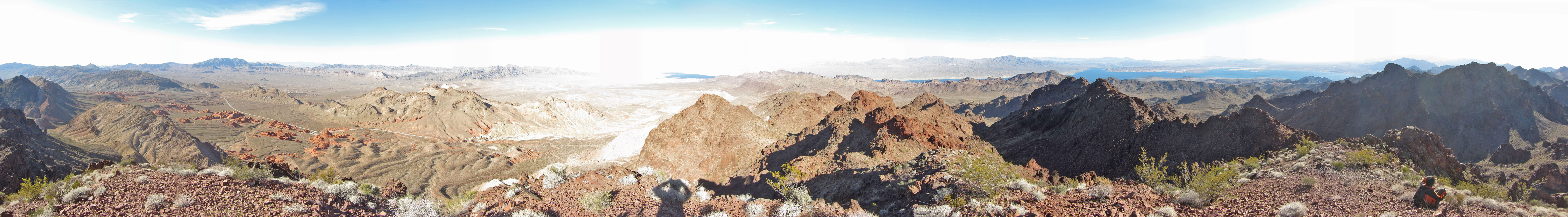
Panorama from Redstone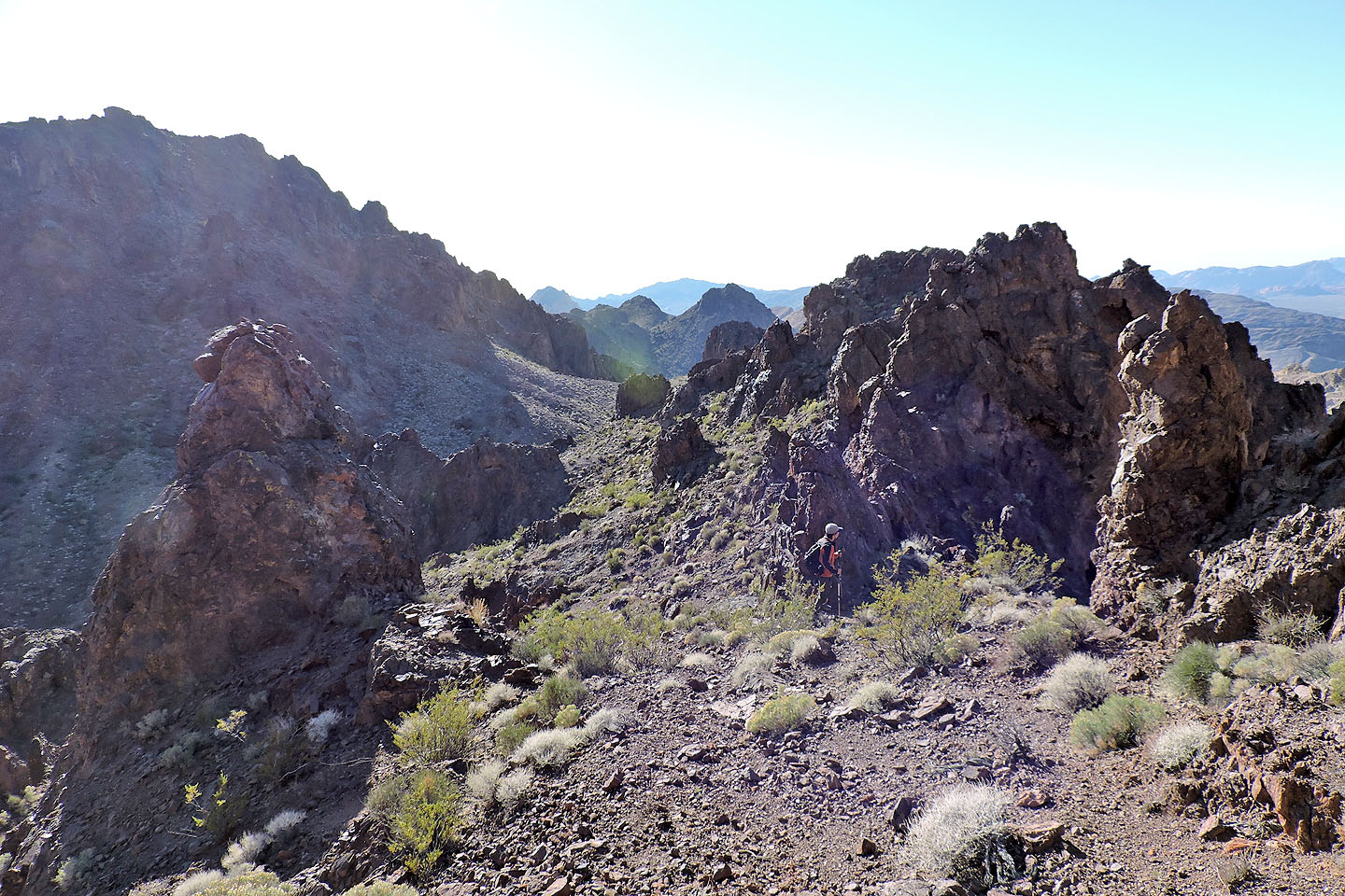
Heading down from the summit. Mystery Cairn on the left.
We followed a wash down to the desert flats. Ahead is Horn Toad Peak.
Heading back to the Redstone parking lot
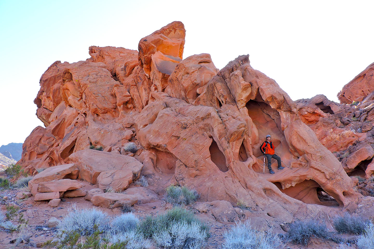
Shin explores a sandstone outcrop
Boulder Canyon and Middle Point (4.0 mi, 3455 ft, 1214 ft)