bobspirko.ca | Home | Canada Trips | US Trips | Hiking | Snowshoeing | MAP | About
Glasgow North
Kananaskis, Alberta
July 2, 2017
Distance: 11.6 km (7.2 mi)
Cumulative Elevation Gain: 918 m (3012 ft)
In Kananaskis Country Trail Guide, Gillean Daffern paints an enticing picture of the climb up Peak 446270, the north subpeak on the massif of Mount Glasgow. Above the treeline, it’s a nice ridge ascent. In the trees there’s a good trail, although it doesn’t extend to the toe of the ridge: some bushwhacking is required.
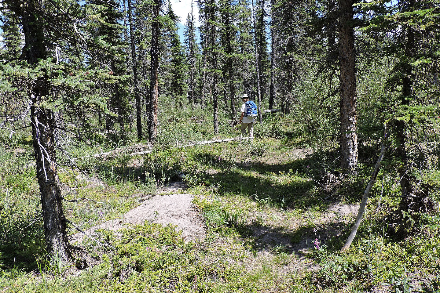
After parking by the suspension bridge, Zora and I crossed it and made our way to the end of the east ridge of the subpeak. There are plenty of trails in the area, including a new flagged one that bypasses a washed-out section. However, the farther west we went, the more indefinite the trails became, especially in the trees. After leaping over Glasgow Creek, following questionable trails, we started bushwhacking up the ridge. We found the trail, although not at the beginning.
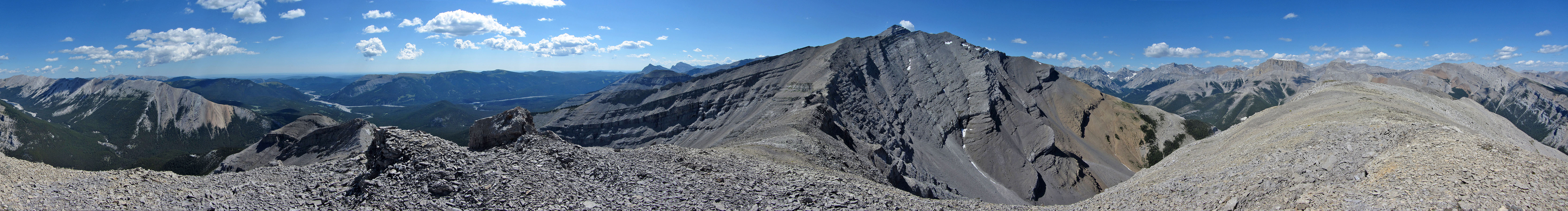
Once on the ridge trail, we forgot our travails of getting there, happy to follow a path that was mostly obvious and mostly profusely flagged (I say “mostly” as we did lose it briefly in a couple of places). The trail stays in the forest until it climbs to a bald knob with a 360-degree view. Then the trail dips briefly into trees before climbing and disappearing on a rocky crest. Easy scrambling down short cliffs provides welcomed breaks from an otherwise scree slog to the summit.
After having lunch on top of Glasgow North, we followed the trail down to its start: a steep, open bank above the Elbow River. We dropped down, but in retrospect, we might as well have stayed on the ridge as there was no trail on the flats. After making our way through the trees on the flats, we found the toe of the ridge (494282). It’s not easy to discern in the trees, but it’s flagged. This is where one should start the ridge ascent. If you can find your way there from Glasgow Creek, then you’re set for an enjoyable climb.
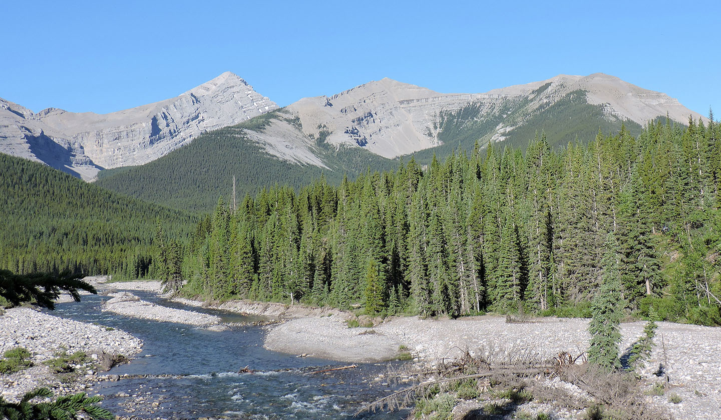
Mount Glasgow (left) and Glasgow North (far right) seen after crossing the suspension bridge
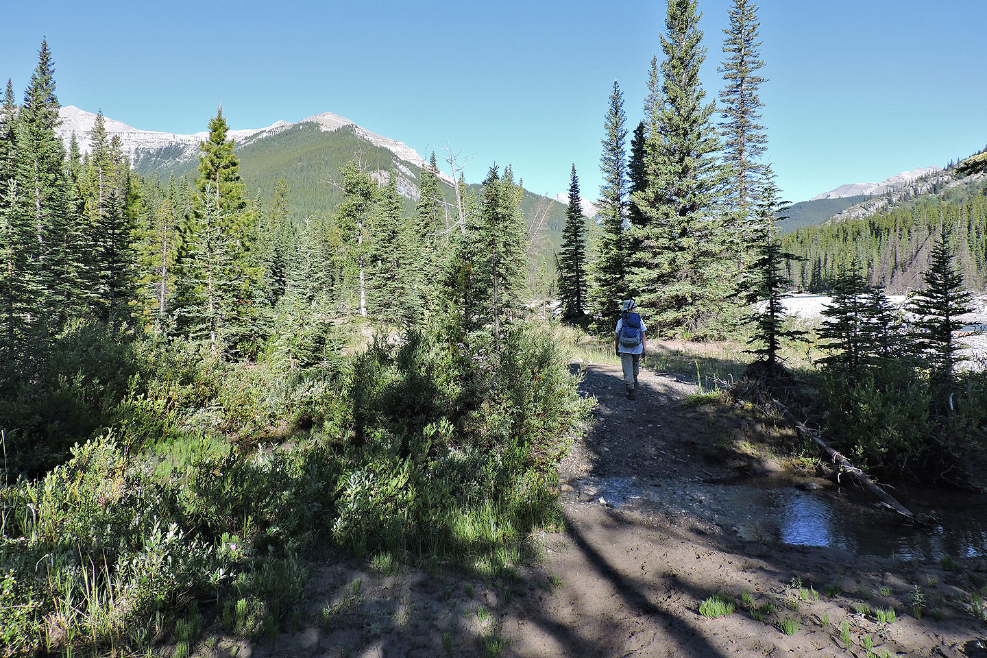
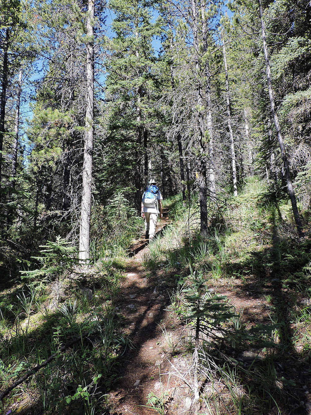
Following the trail towards Glasgow North
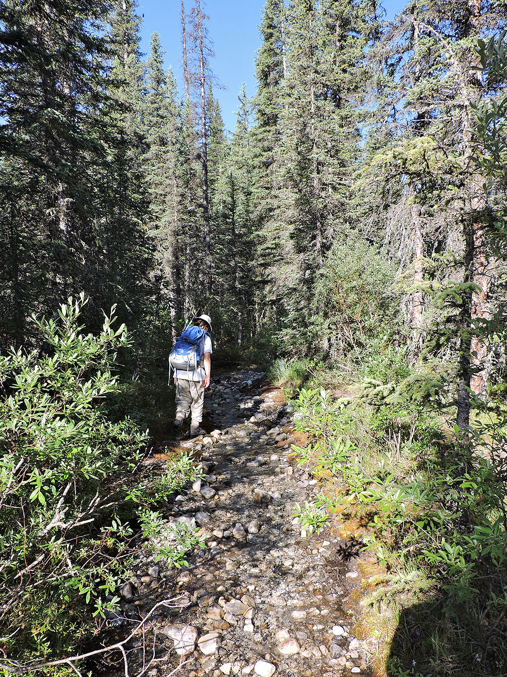
What looked like a stream was probably a trail
On the ridge trail
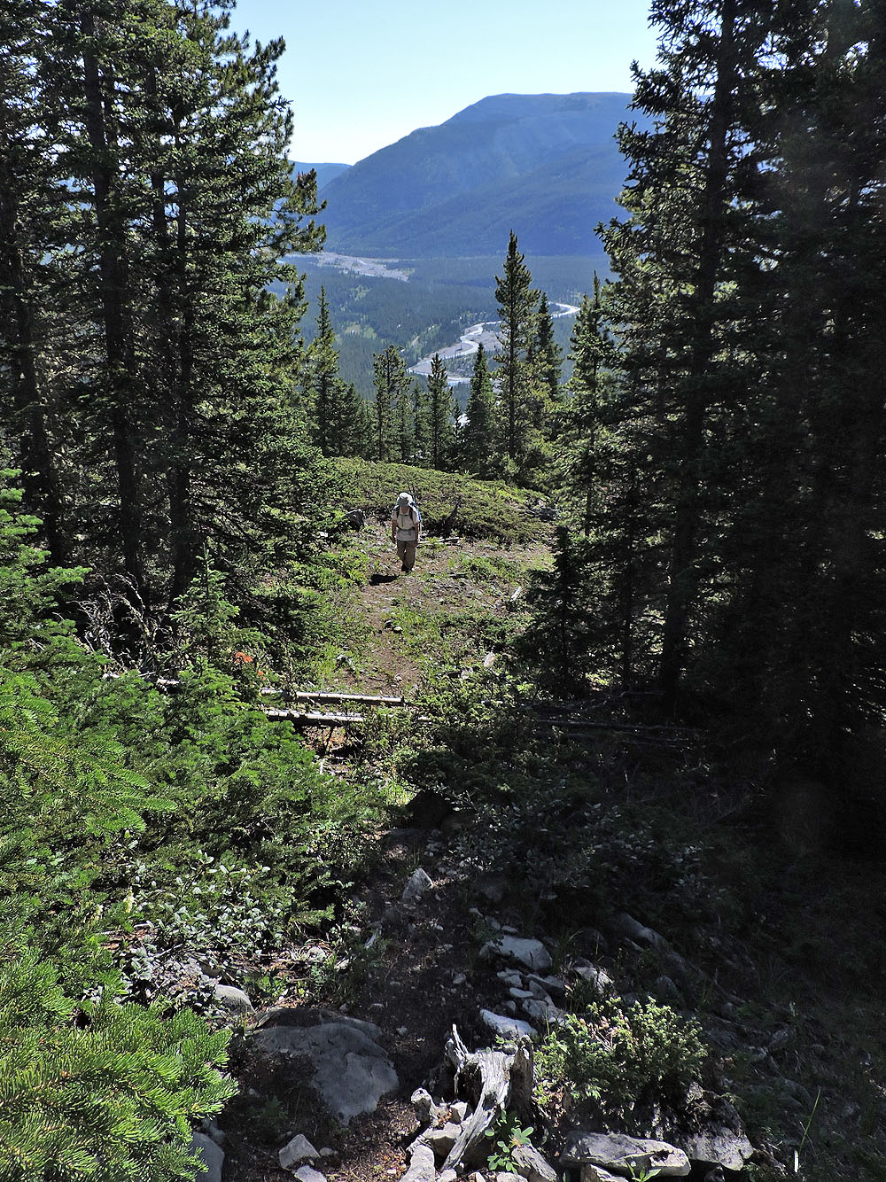
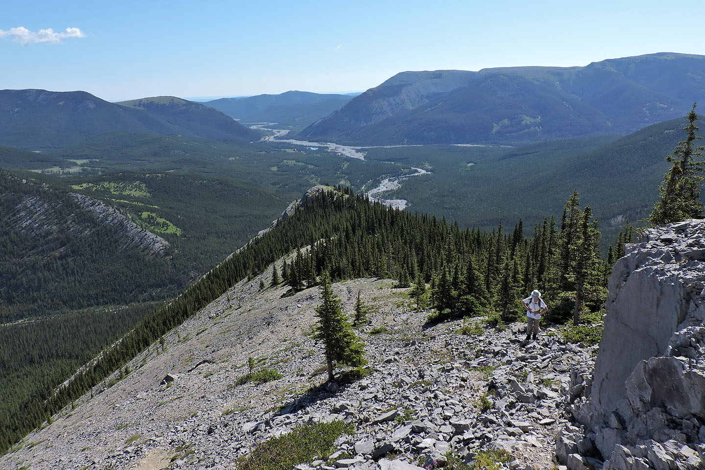
Eventually breaks in the trees provide a few views
The South Summit of Nihahi Ridge
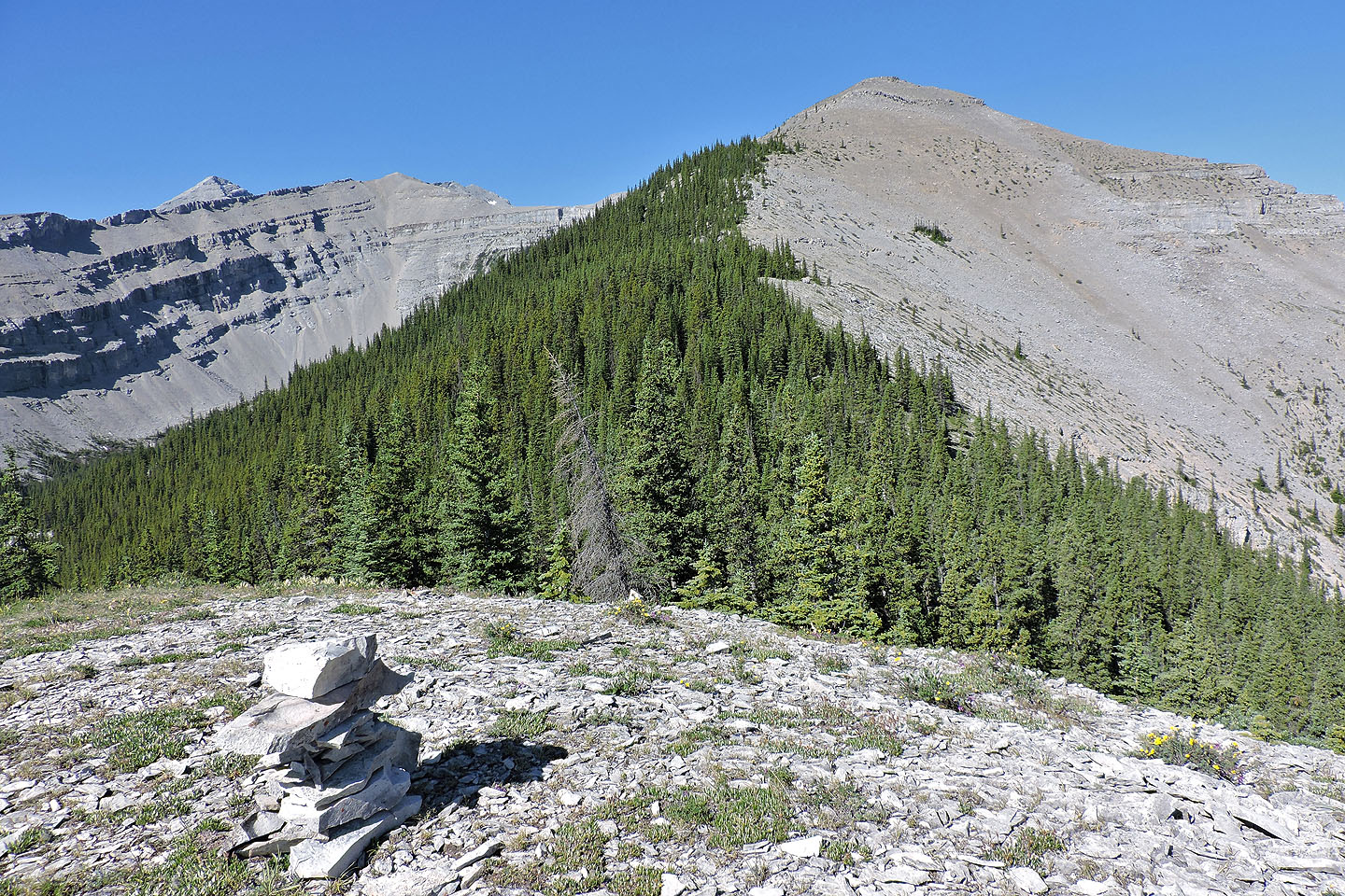
The first false summit can be seen from a bald knob on the ridge
Looking back at the knob
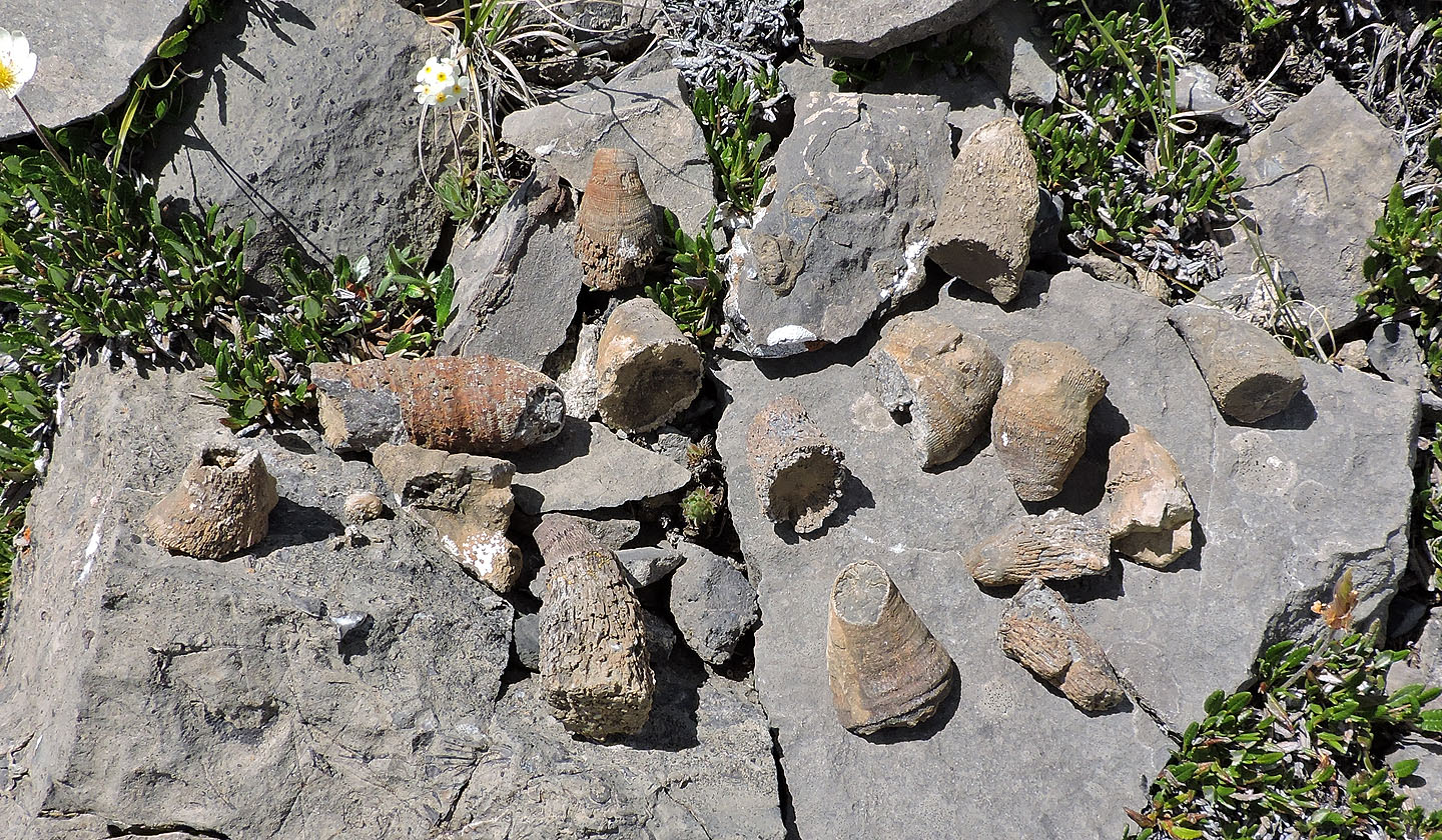
I found these horn coral fossils all within a small area
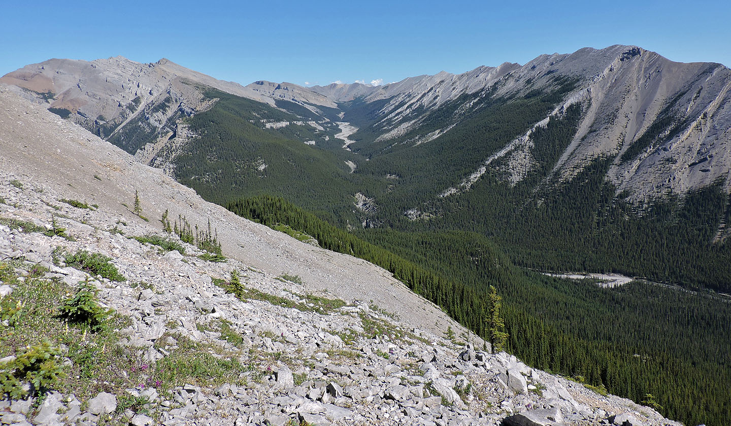
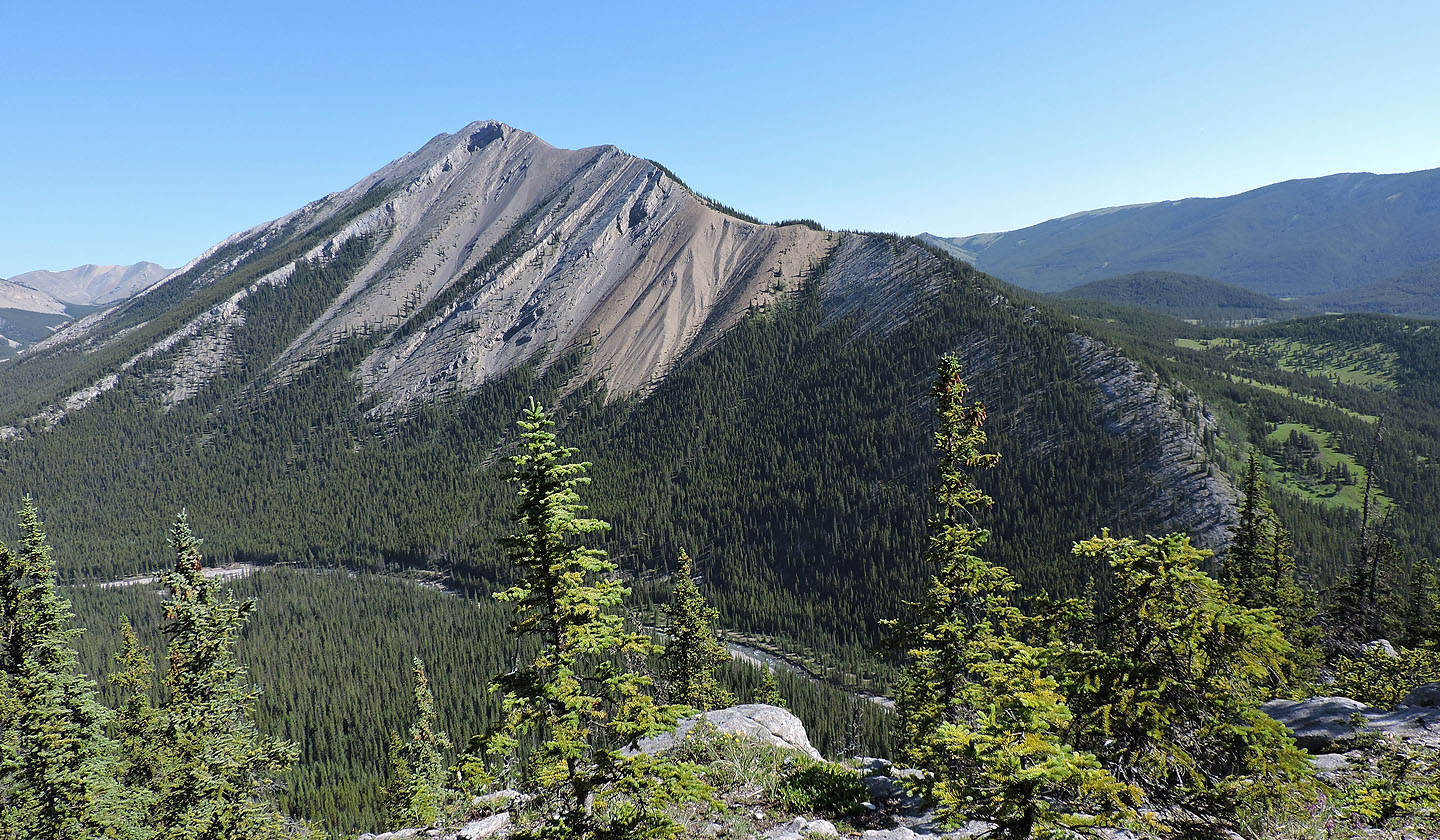
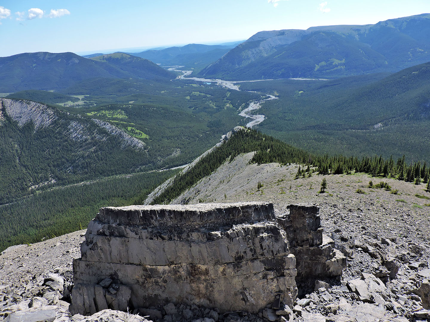
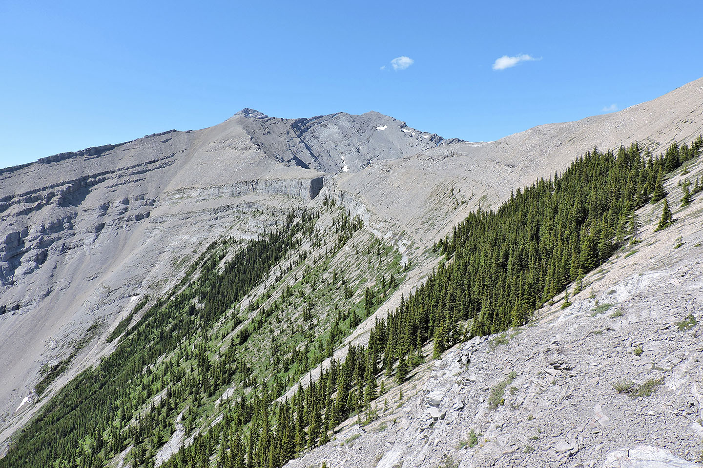
Mount Fullerton, Compression Ridge and Nihahi Ridge surround Nihahi Creek
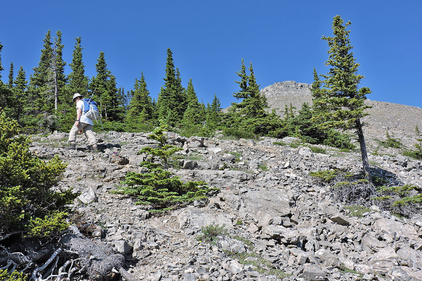
Hiking to the false summit
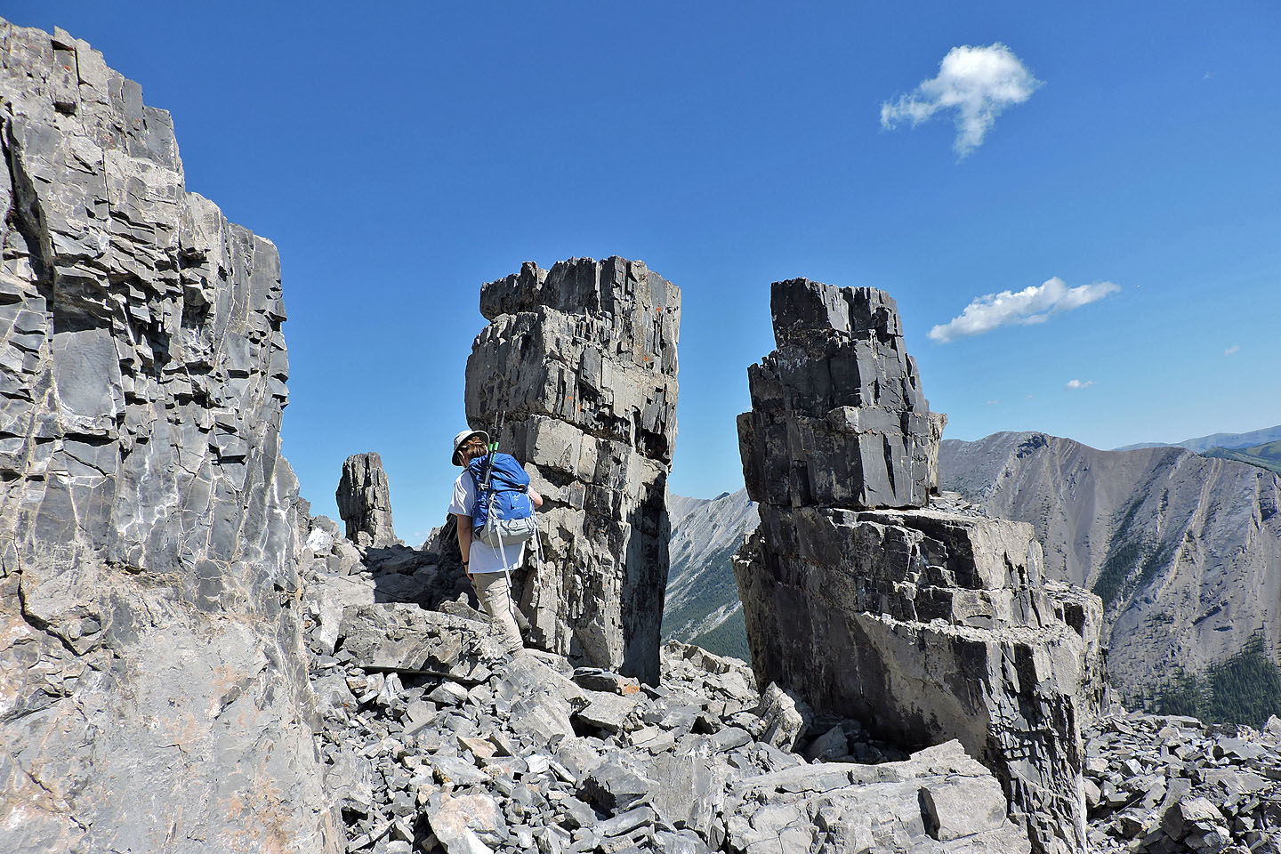
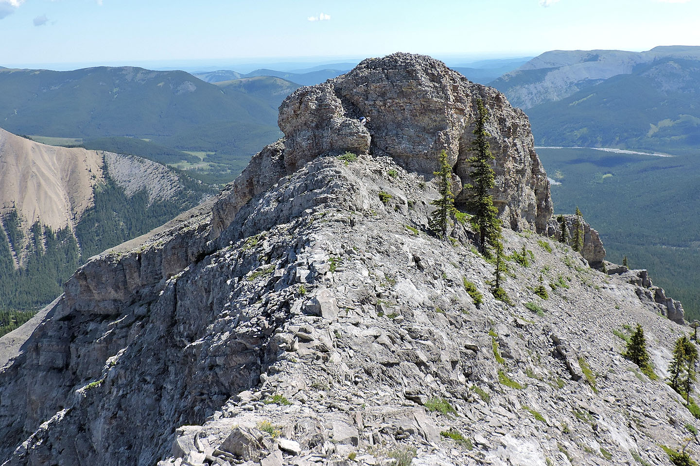
We passed these rock flakes on the false summit
Looking back at the rock flakes
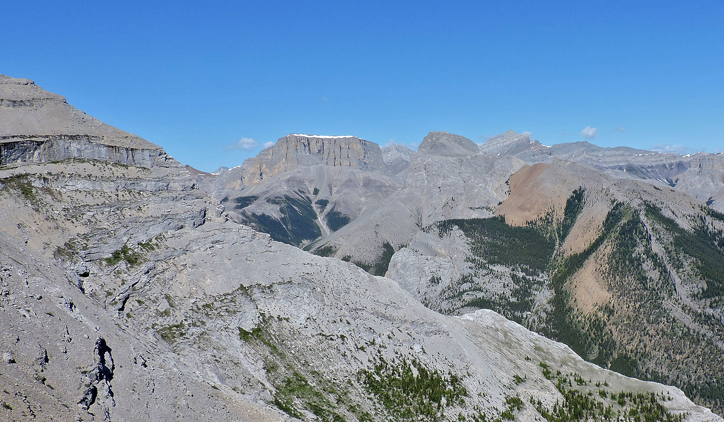
Mount Romulus and Mount Remus in the centre
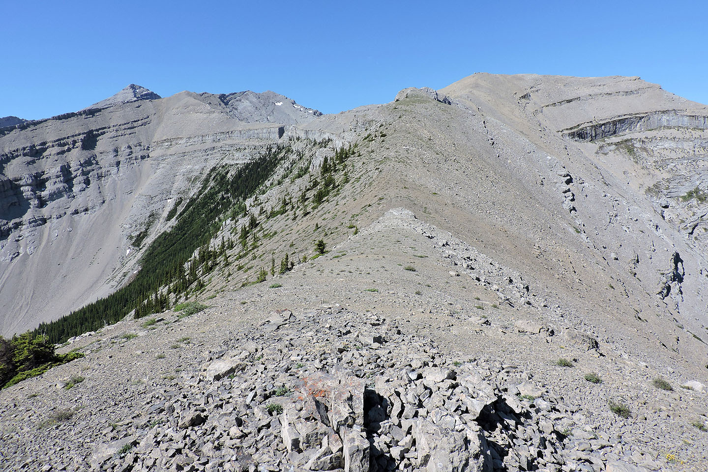
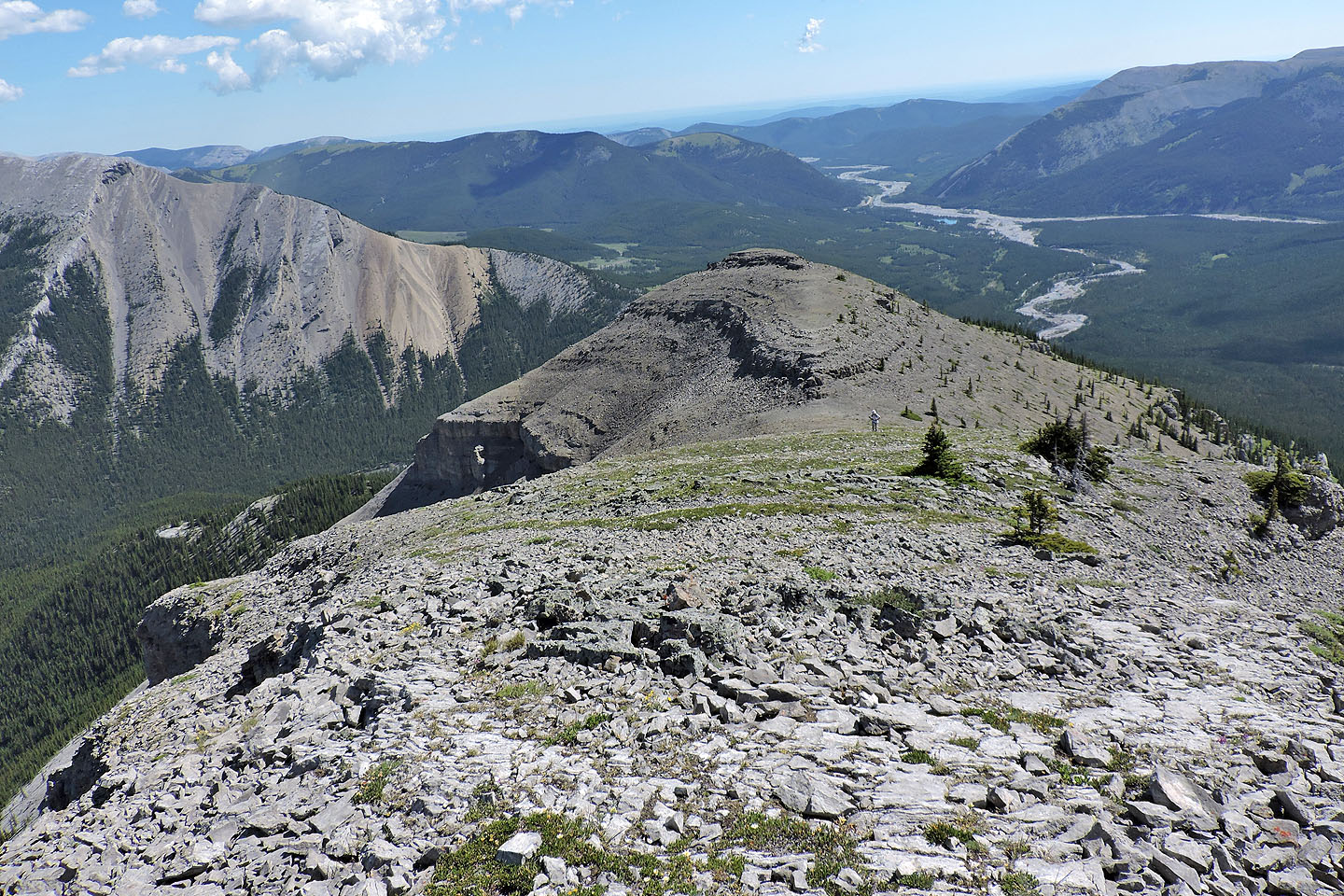
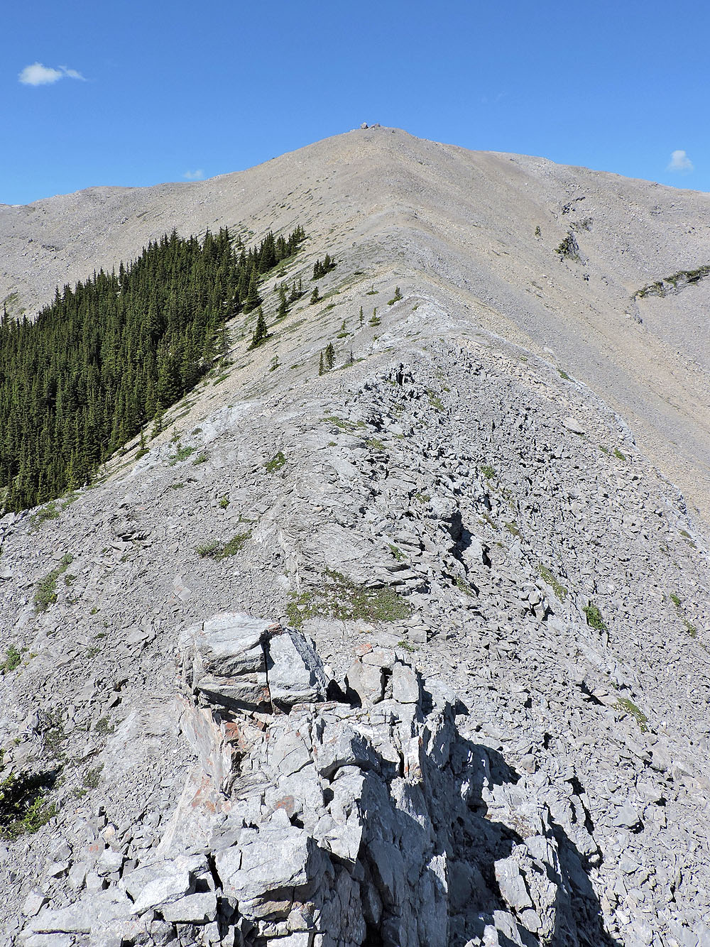
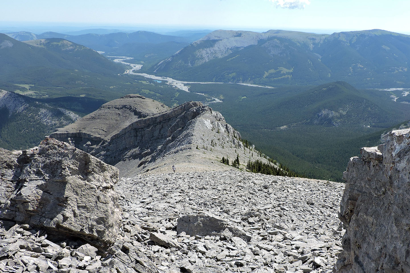
View from the next false summit. The ridge almost runs straight to the true summit.
All the drops along the ridge can be scrambled down easily
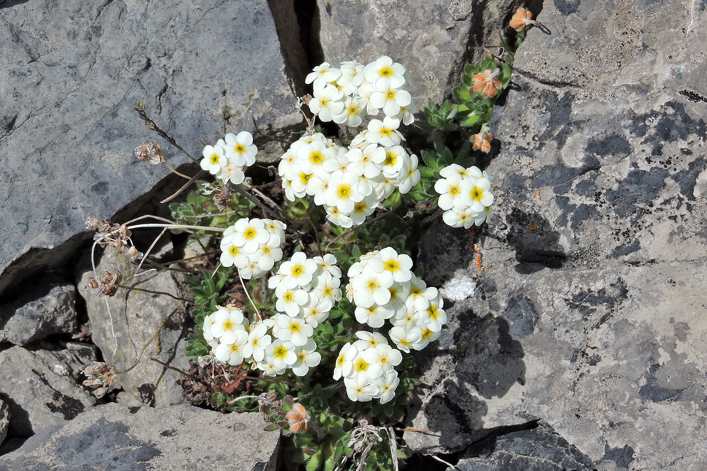
Rockjasmine wildflowers were common above the treeline
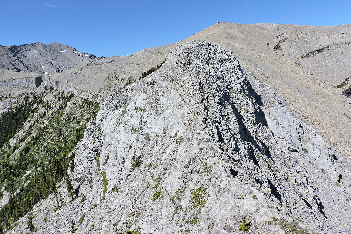
Looking back along the ridge
There's a short, narrow section just before the summit
 Looking back as Zora descends to the narrow ridge
One more downclimb and then it's a walk to the summit
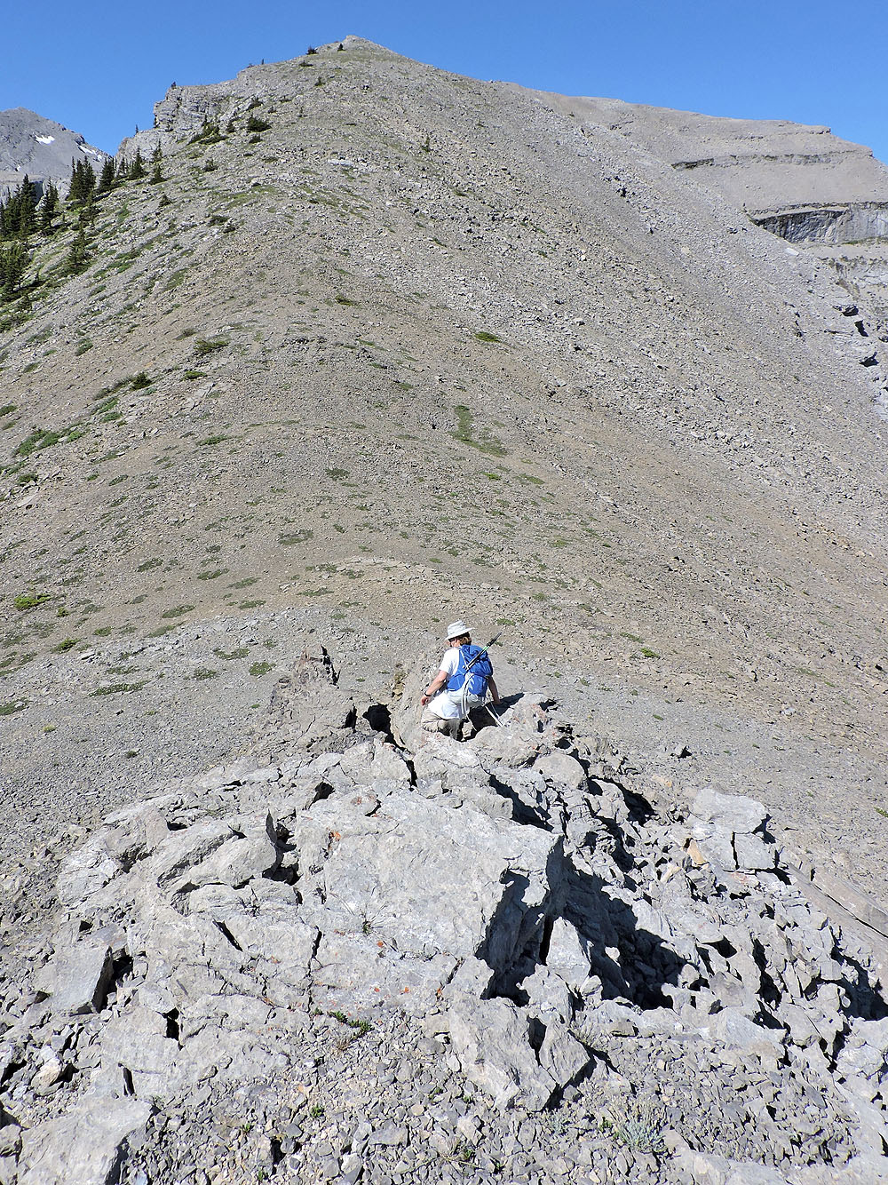
Zora is poised to scramble down
The south ridge leads to another Glasgow subpeak, Garriochmill (centre), an exposed scramble
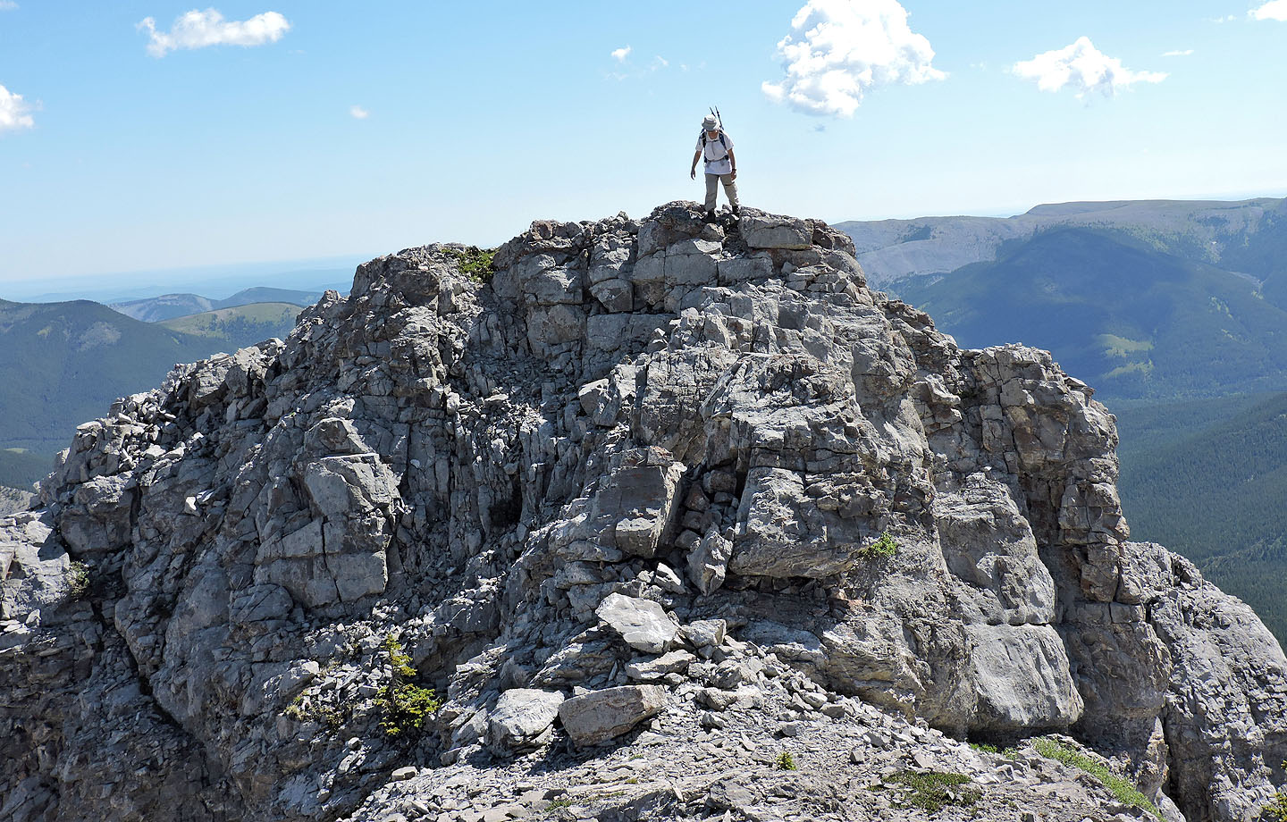
Looking back from the summit
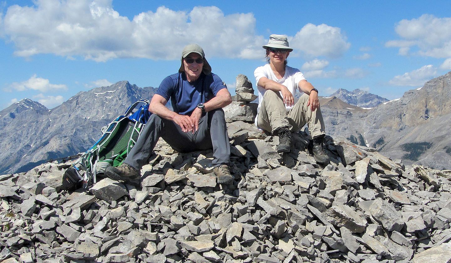
On the summit
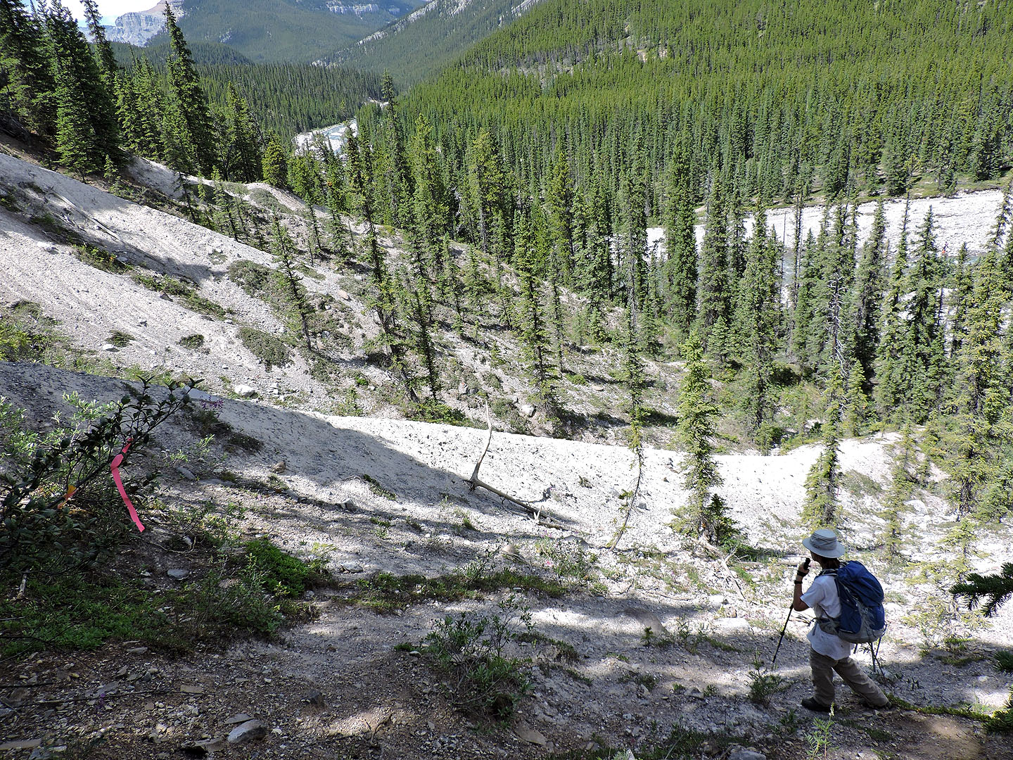
We followed the trail all the way down until it ended at the foot of these slopes
Looking up at the route
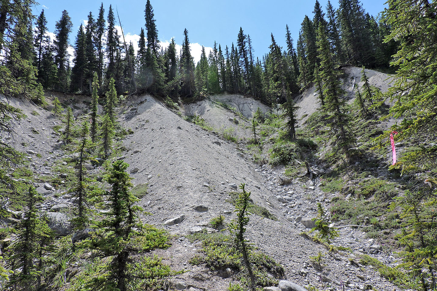
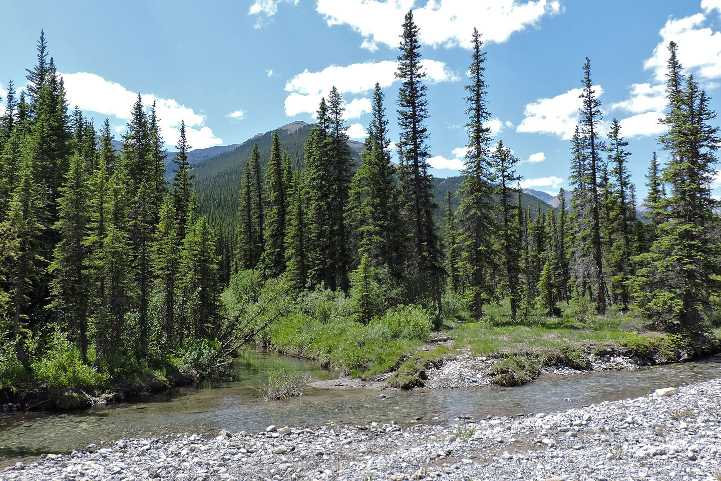
After reaching the bottom, we made our made back to Glasgow Creek
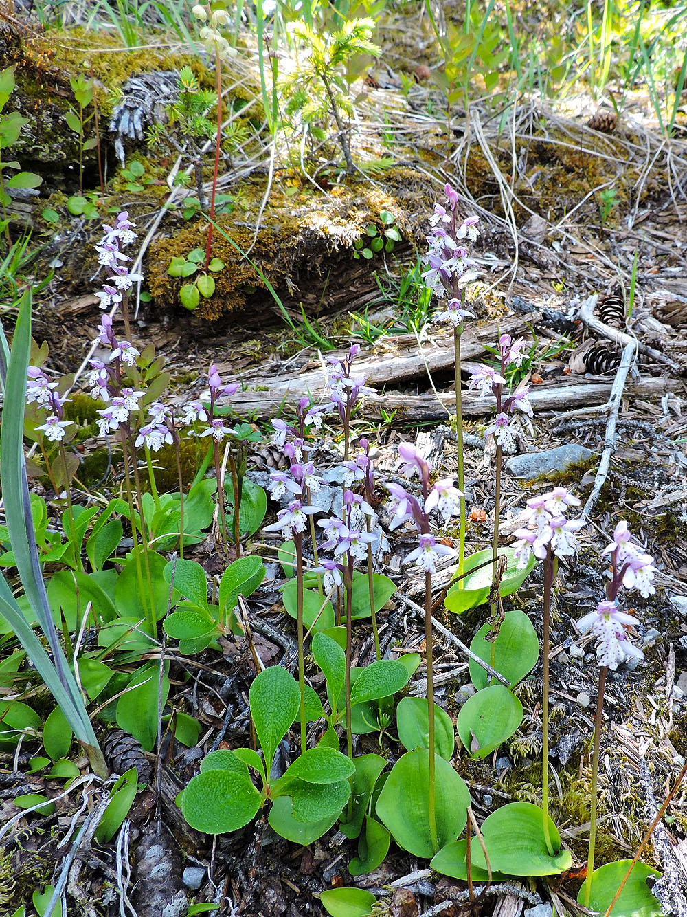
Round-leaved orchids
Looking back at the subpeak after crossing Glasgow Creek
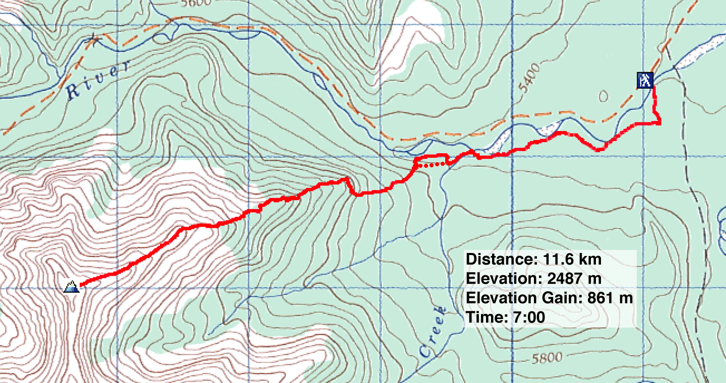
82 J/15 Bragg Creek (I recommend following the ridge section with red dots)