bobspirko.ca | Home | Canada Trips | US Trips | Hiking | Snowshoeing | MAP | About
Mount Glasgow
Kananaskis, Alberta
September 11, 2004
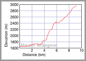
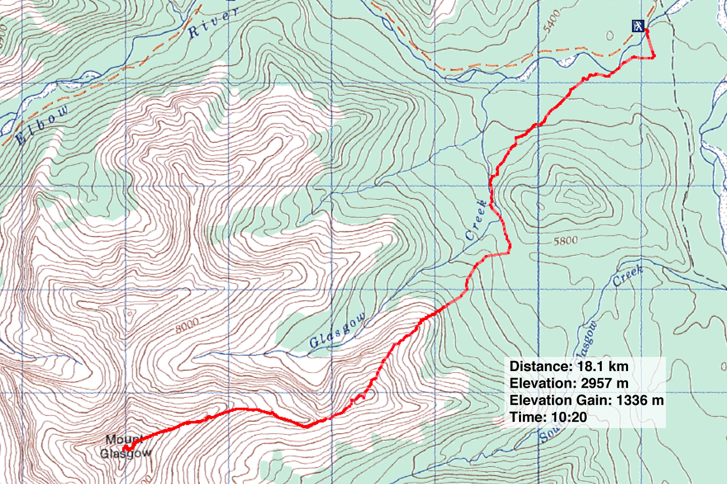
Distance: 18.1 km (11.2 mi)
Cumulative Elevation Gain: 1594 m (5260 ft)
I haven't tried the Scrambles guidebook approach Mount Glasgow, but the east ridge probably offers a more interesting trip: it's largely a ridgewalk rather than a scree slog, and it avoids a long bike approach.
From the Little Elbow Recreation Area, Dale, Bruce, Dinah and I crossed the suspension bridge and took a sharp
right onto a side trail that leads to the river. Ten minutes later, we left the riverside trail at a right
angle and set off to find a cutline. After hiking about 100 m or so, we came across a trail that follows the
cutline. The cutline trail eventually ends above a valley meadow. Picking up on another trail, we headed down
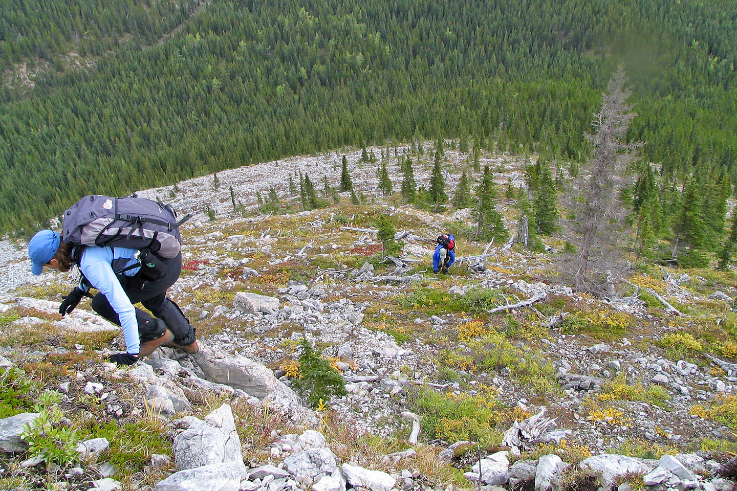
to the meadow; which placed us at the foot of an outlier (484250) marking the end of the east ridge. We headed
up the wooded slope towards it.
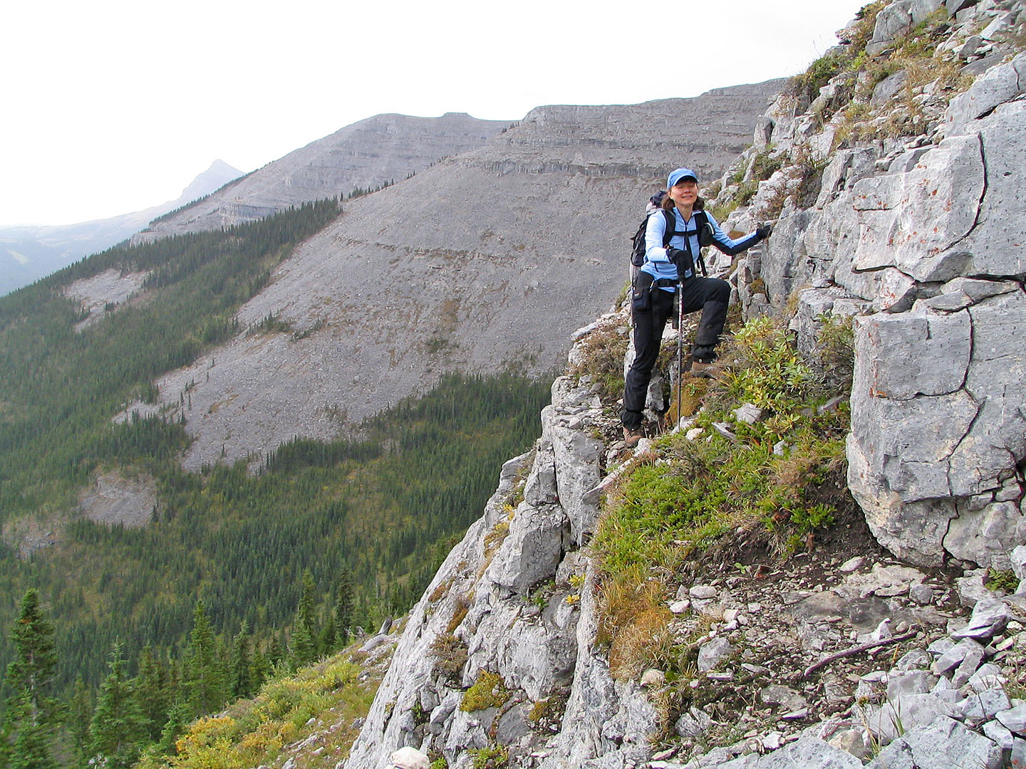
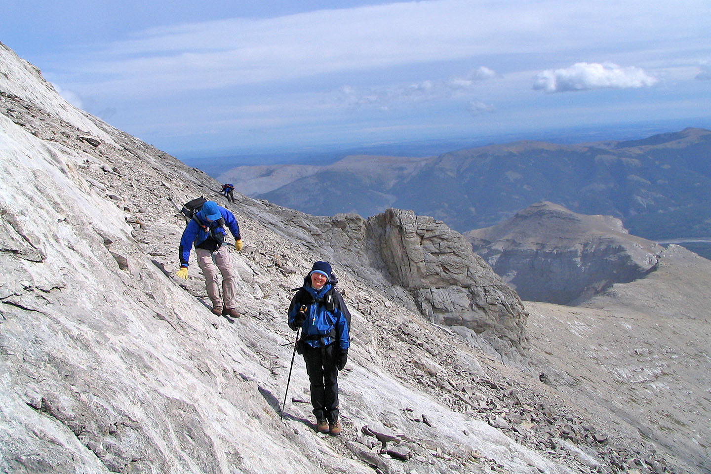
Just below the outlier, we avoided a cliff band, traversed below the top and dropped down to the col at
479247. A trail on the left took us past a small point. After that, we stayed close to the ridge, except for a
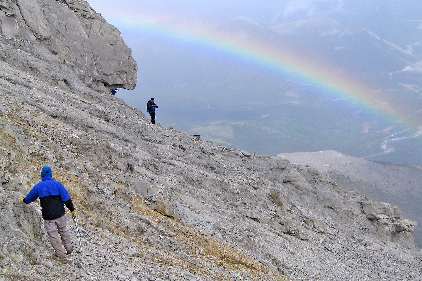
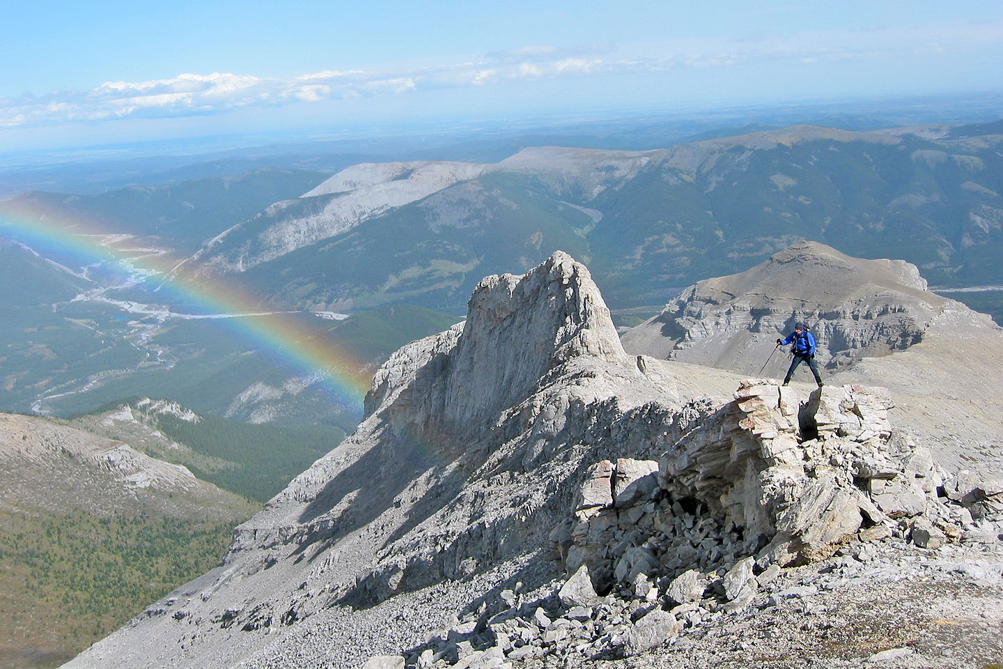
rock prominence that we detoured left around. At this point, a brilliant rainbow came into view and held our
attention up and down the summit.
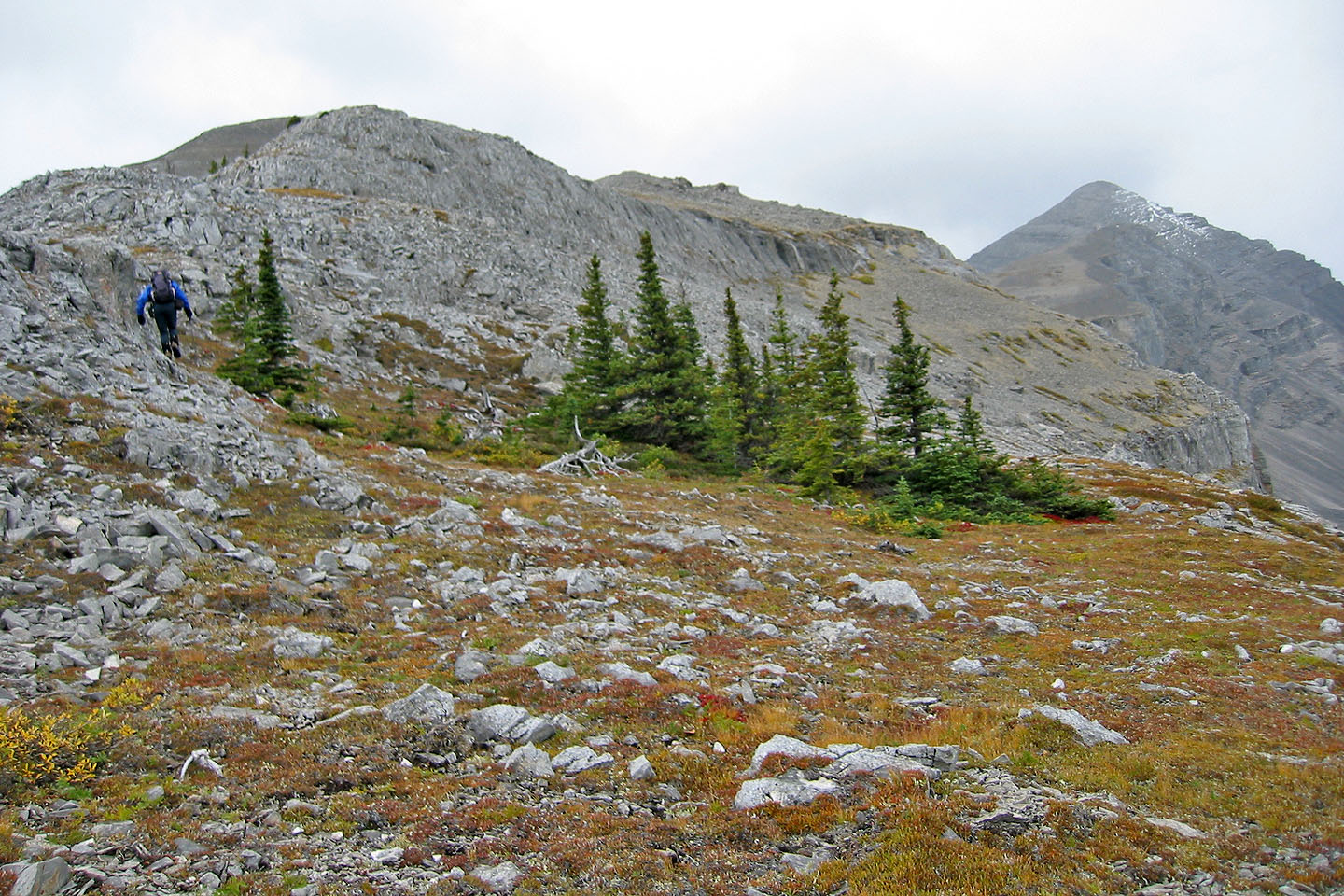
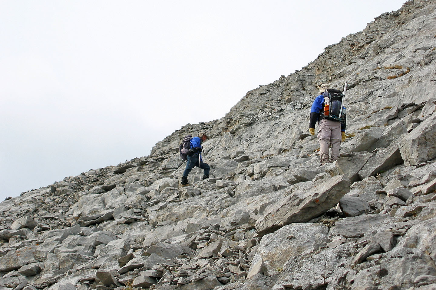
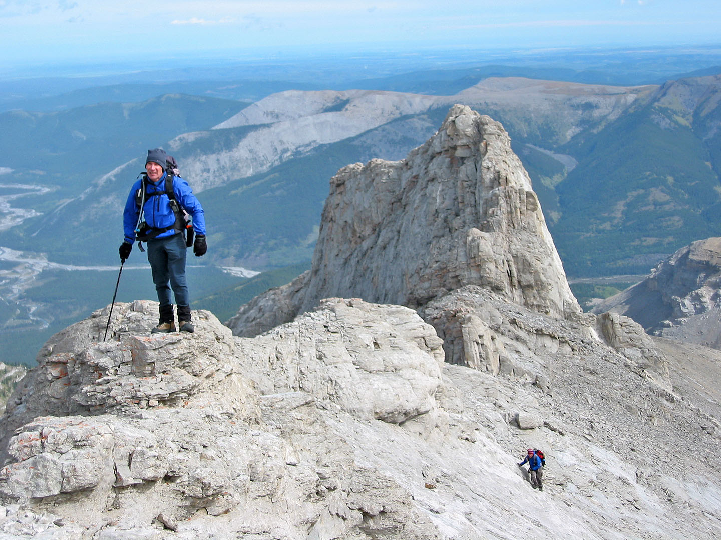
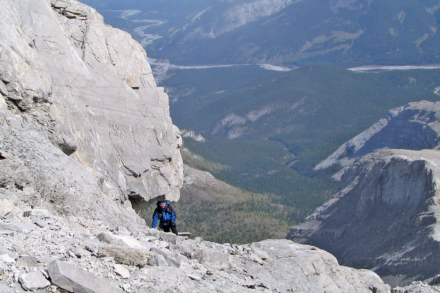
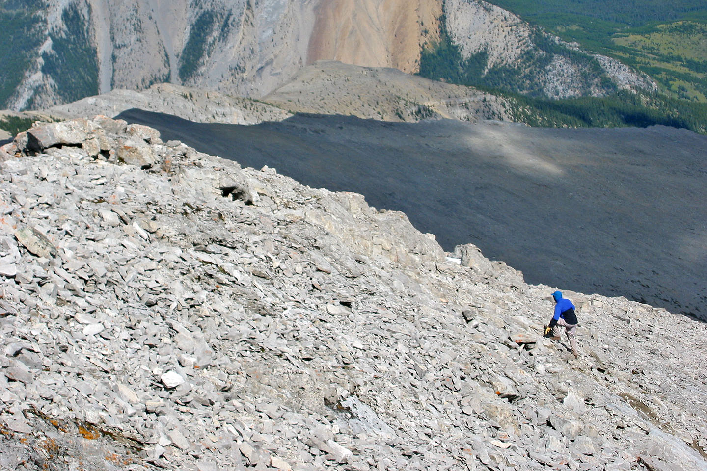
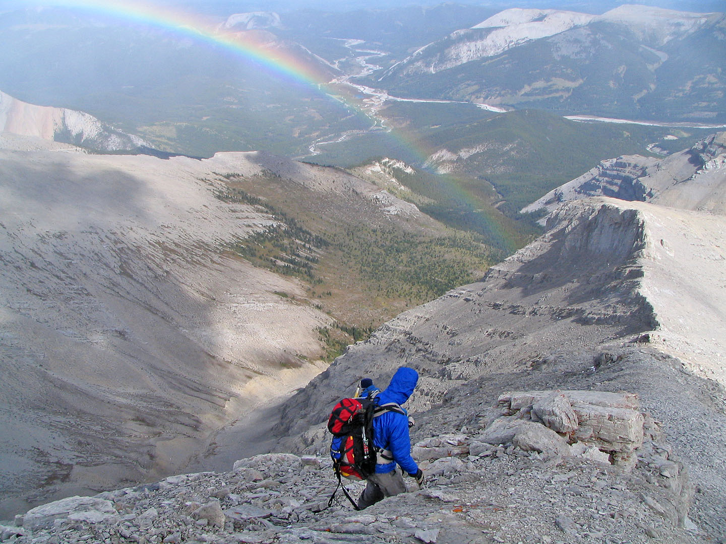
We continued along the ridge until about 70 m below the summit where a buttress stopped us. We headed left to
the open slope and scrambled up some steep, scree-covered slabs where we could regain the ridge. This section
upped the trip to a difficult rating.
On the return, we saved time by going down a scree gully at the col before the outlier and followed Glasgow
Creek back to the cutline.
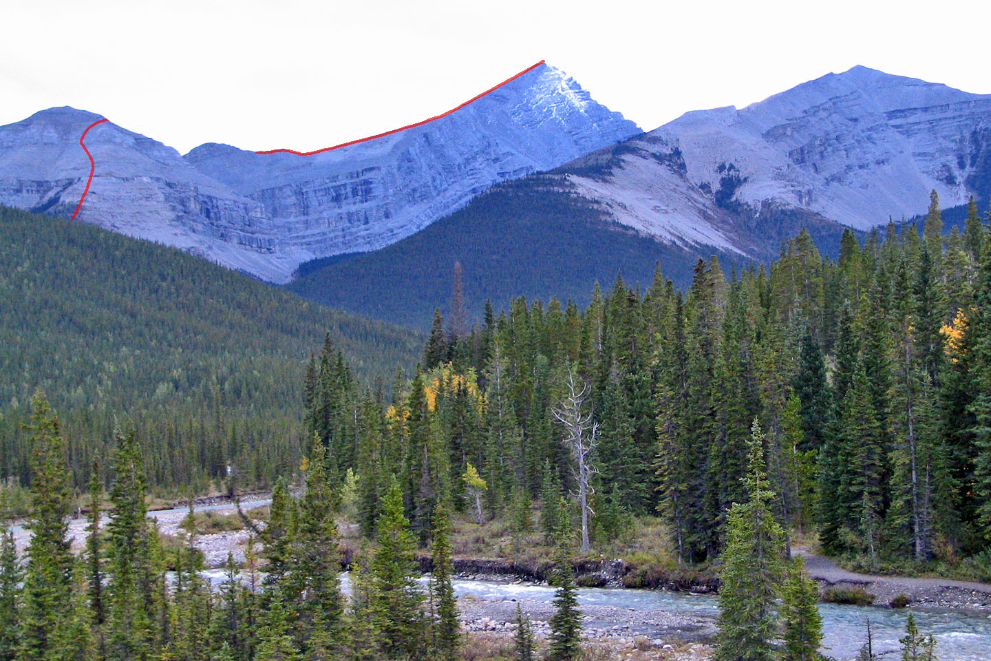
The route seen from the suspension bridge
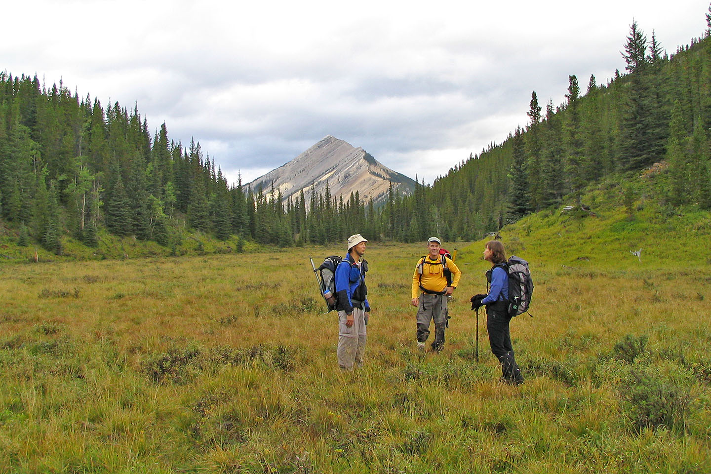
Taking a break in a meadow
We left the treeline far below
Dinah reaches a ledge
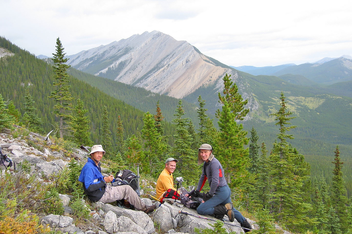
Taking a break
Ascending the end of the east ridge. Mount Glasgow on the right.
The slope begins to level off
Looking back
The slope changes to scree
We traversed below the outlier
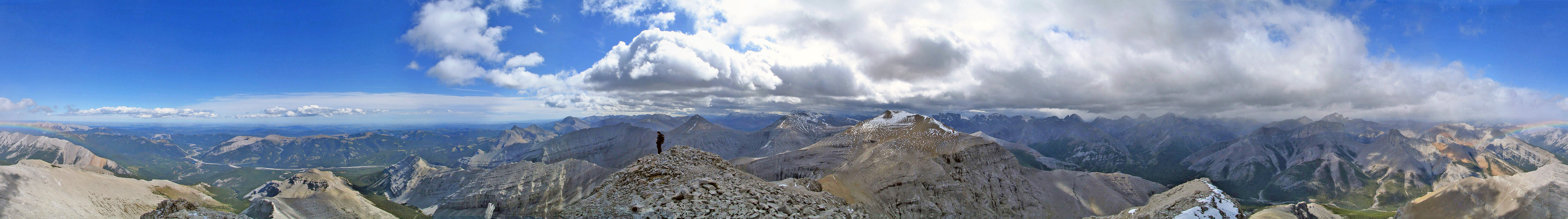
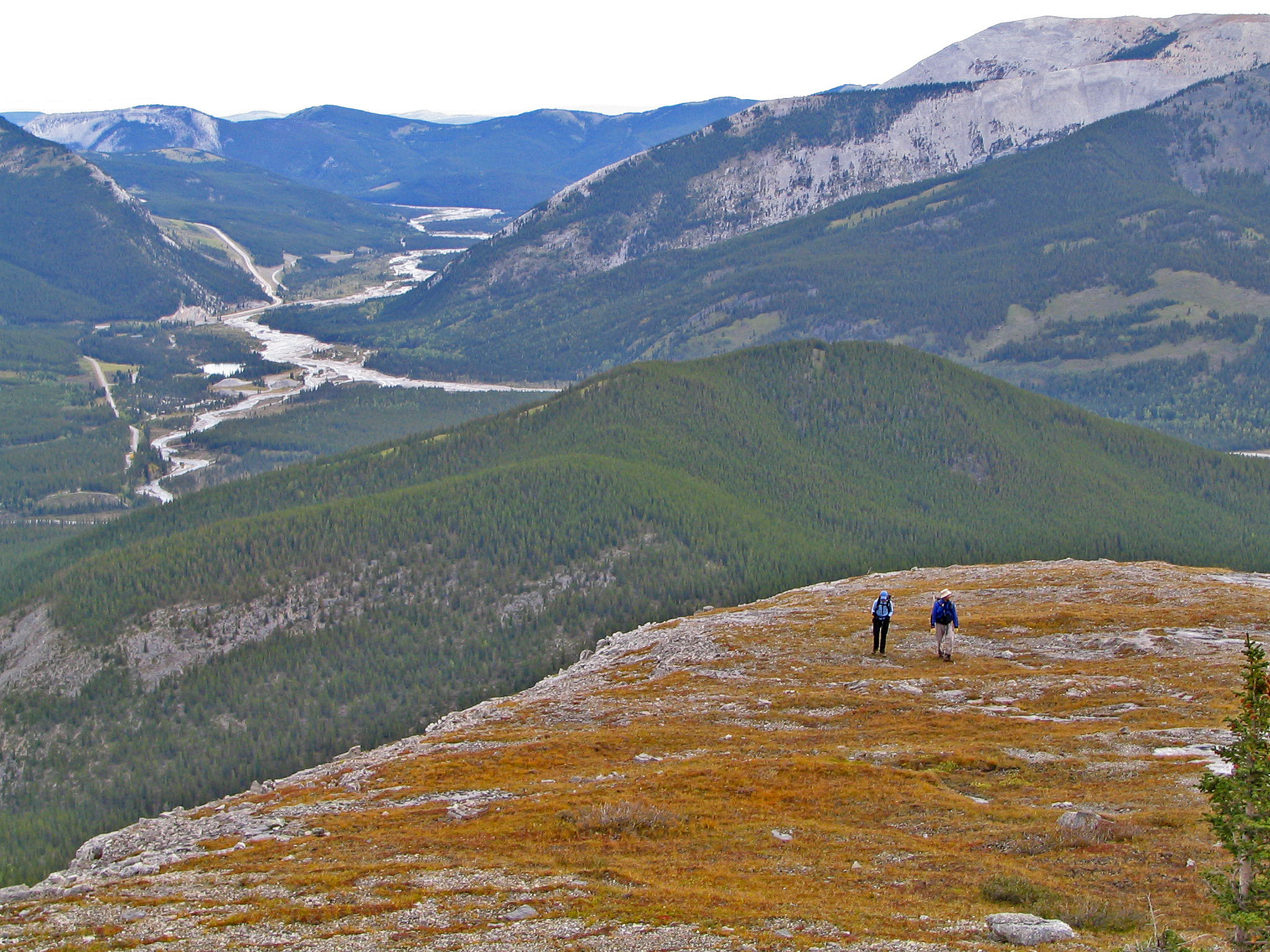
Above the col: the ridge to the summit can now be seen
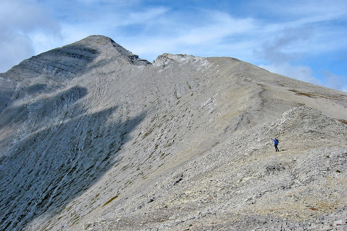
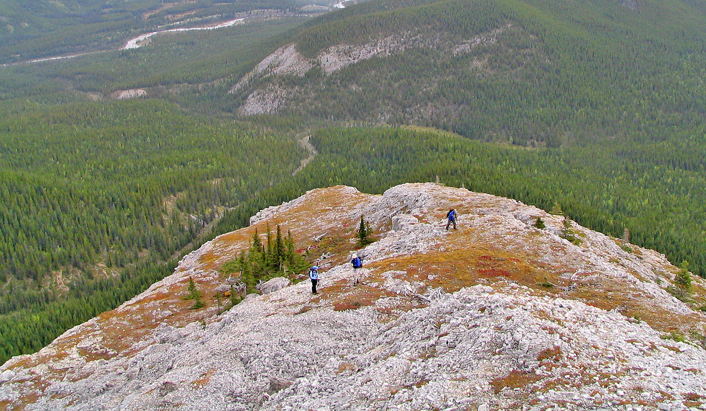
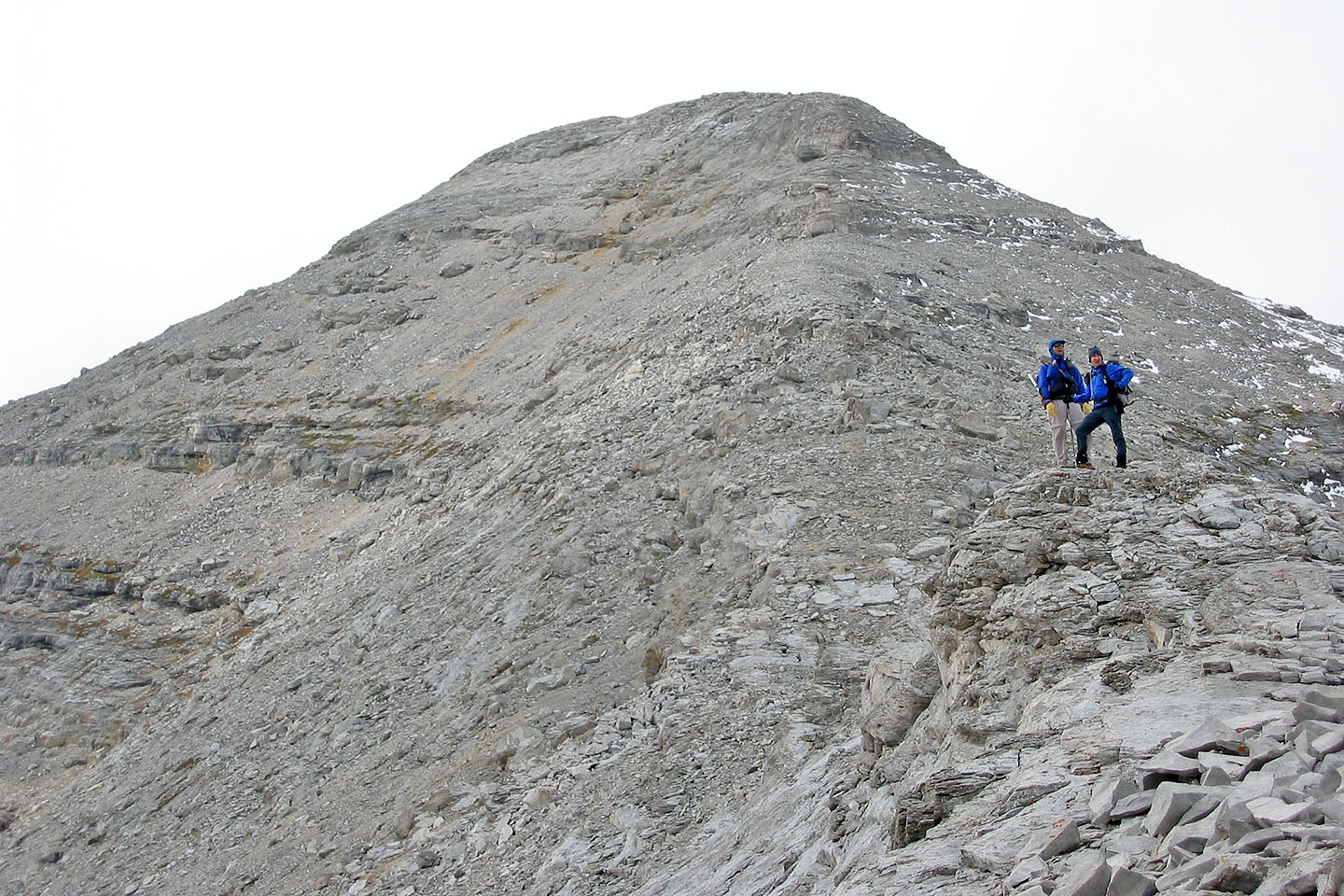
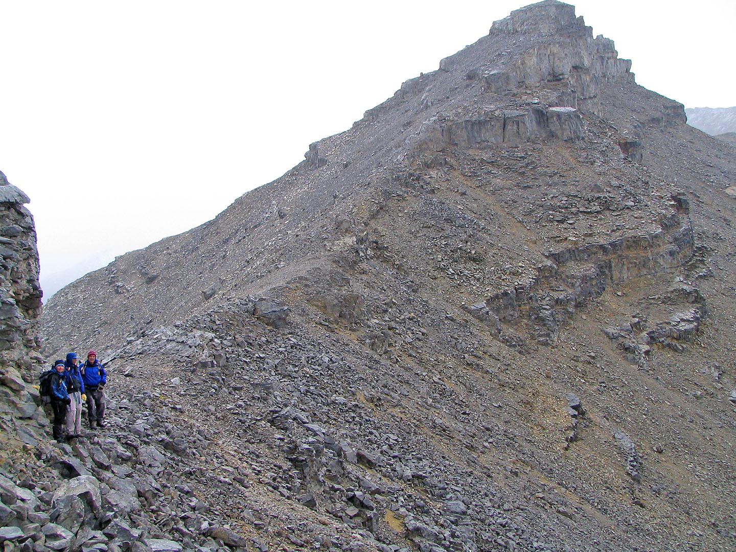
We continued along the ridge
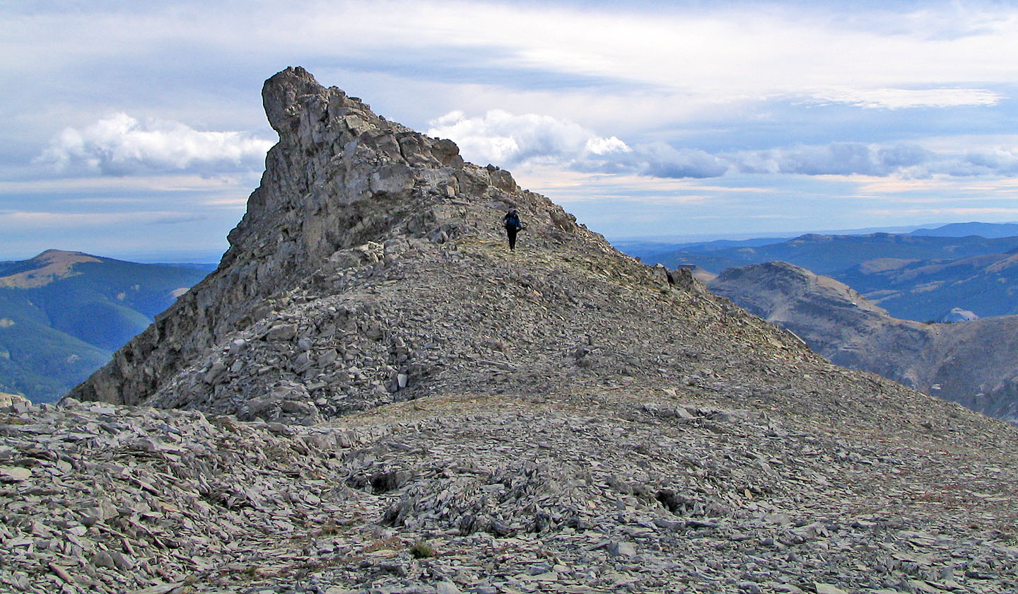
We passed an unusual rocky point
Looking back along the ridge
Crossing rock slabs
Interesting rock formations along the ridge
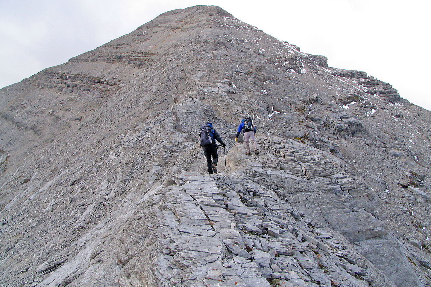
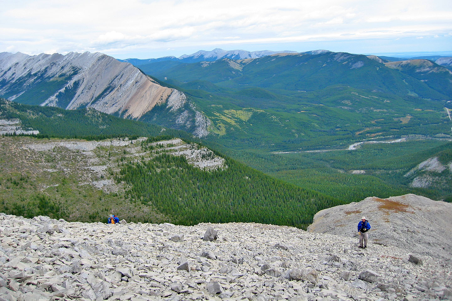
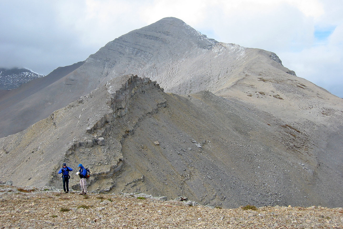
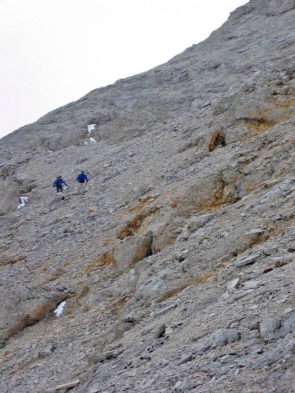
The ridgewalk ends and we'll soon start scrambling
We'll leave ridge below the summit and scramble up the slope on the left
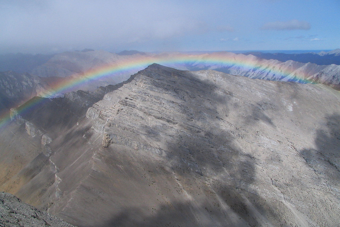
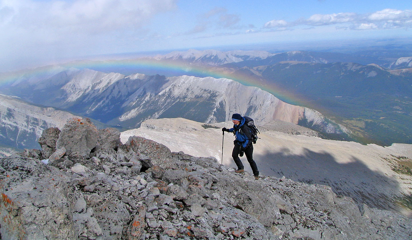
Impressive rainbow appeared over an unnamed peak
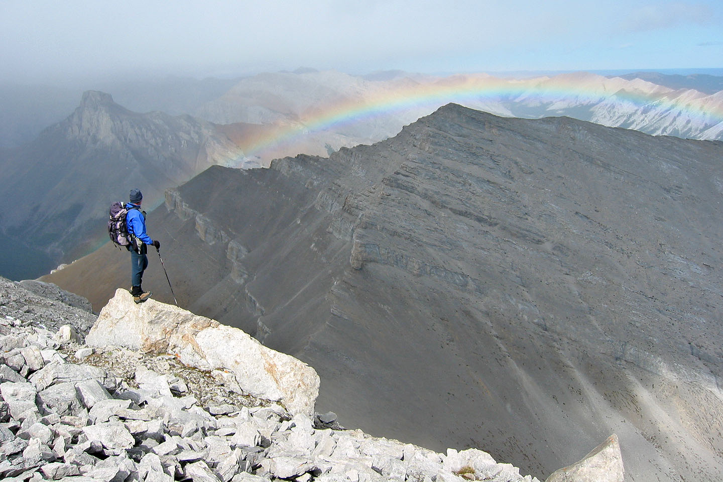
The rainbow lasted for hours
Nihahi Ridge in the background
We left the ridge at this overhanging buttress and scrambled up the slope
Looking back from the summit as Dale, now above the crux, comes to join Dinah and me
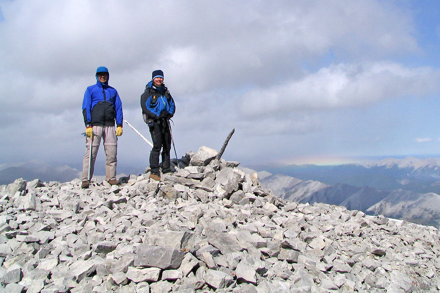 Dale and Dinah on the summit
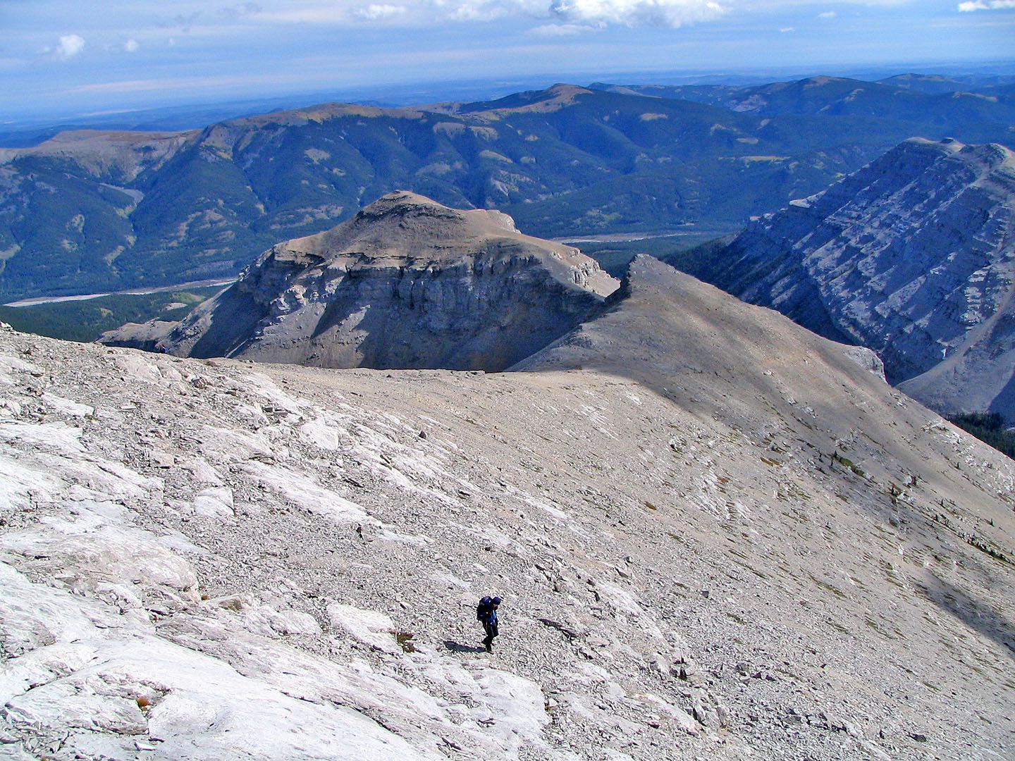
Coming down the open slope from the summit. Above us is the crux.
Back at the buttress. Notice the Indian's profile in rock.
On the ridge with the outlier behind me.
Forgetmenot Ridge in the background.
Heading back along the ridge
Looking back at the summit
82 J/15 Bragg
Creek