bobspirko.ca | Home | Canada Trips | US Trips | Hiking | Snowshoeing | MAP | About
Mount Romulus
Kananaskis, Alberta
October 4, 2004
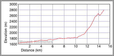
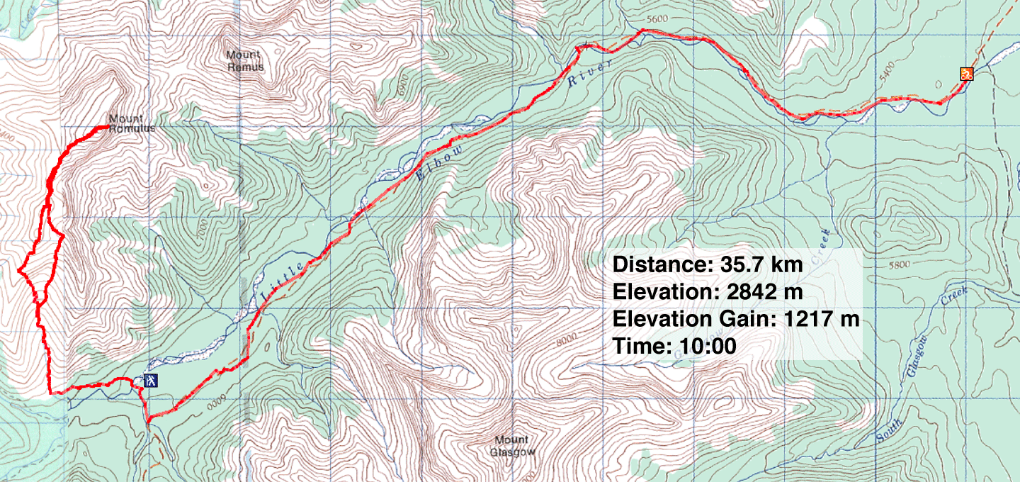
Distance: 35.7 km (22.2 mi)
Cumulative Elevation Gain: 1405 m (4610 ft)
We had an extraordinary warm fall day when we climbed Mount Romulus. So warm, in fact, we were comfortable in shorts and T-shirts on the summit!
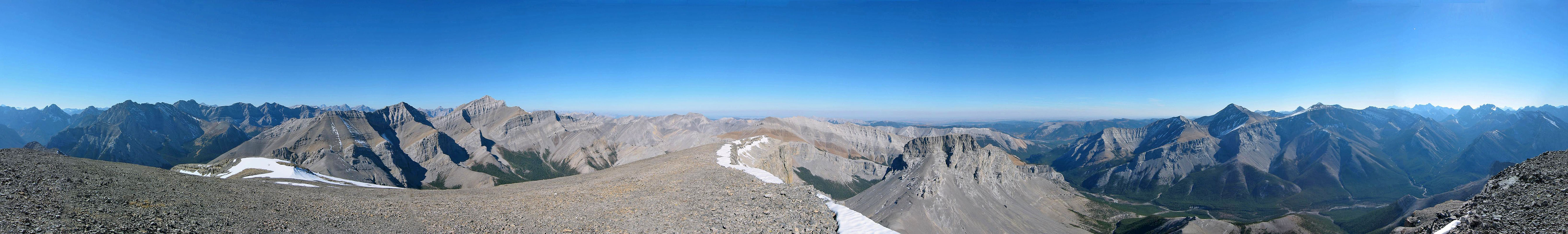
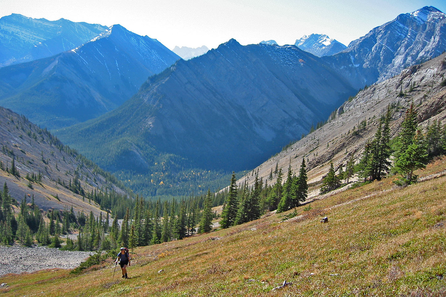
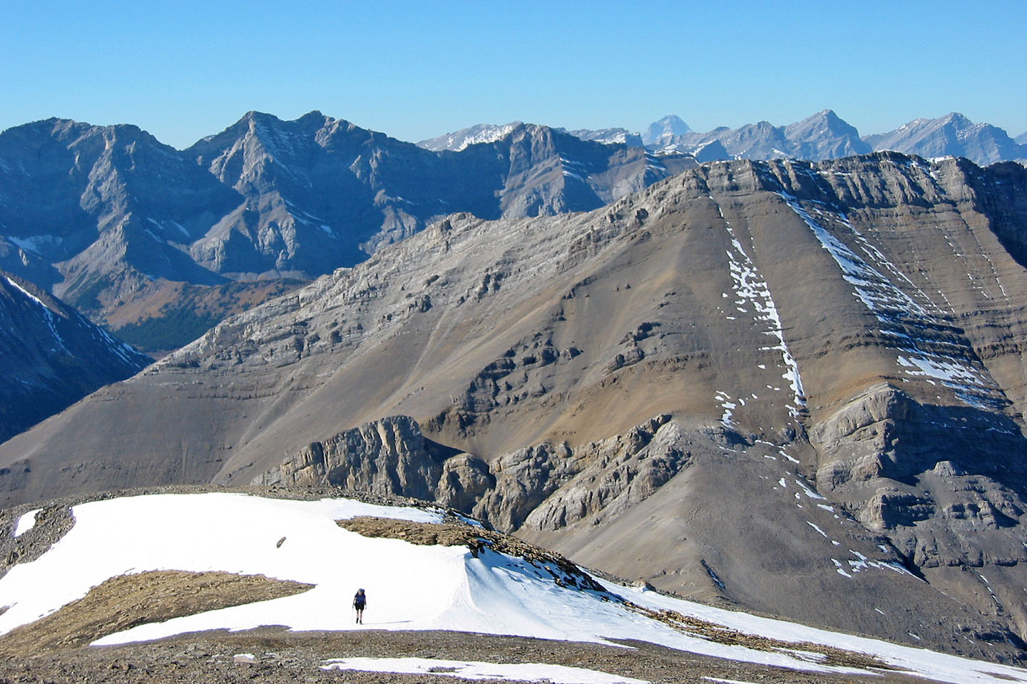
At sunrise from Little Elbow Campground, we set out on our mountain bikes for the base of the mountain. We quickly covered 12.4 km before stashing our bikes at Romulus Campground. Then we forded the frigid waters of Little Elbow River. After hiking up the south drainage, we came to a basin above the treeline. We gained the ridge on our left and followed it with its many ups and downs to the summit.
Instead of retracing our steps and ascending back up the ridge, we dropped down to the basin from the col. We returned to our bikes and enjoyed a fast ride back to the parking lot.
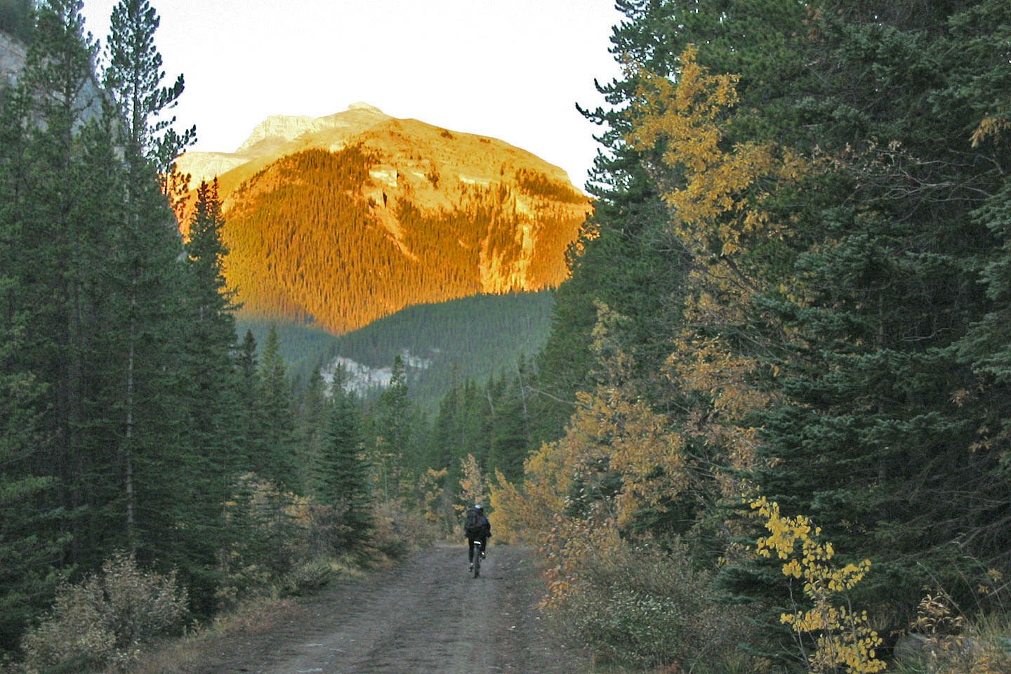
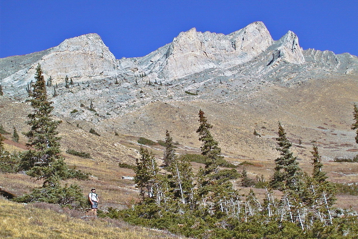
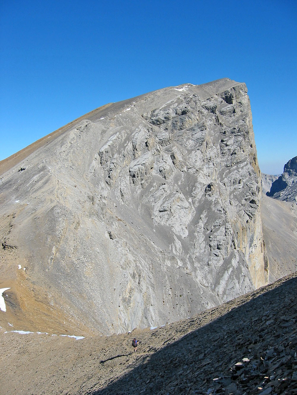
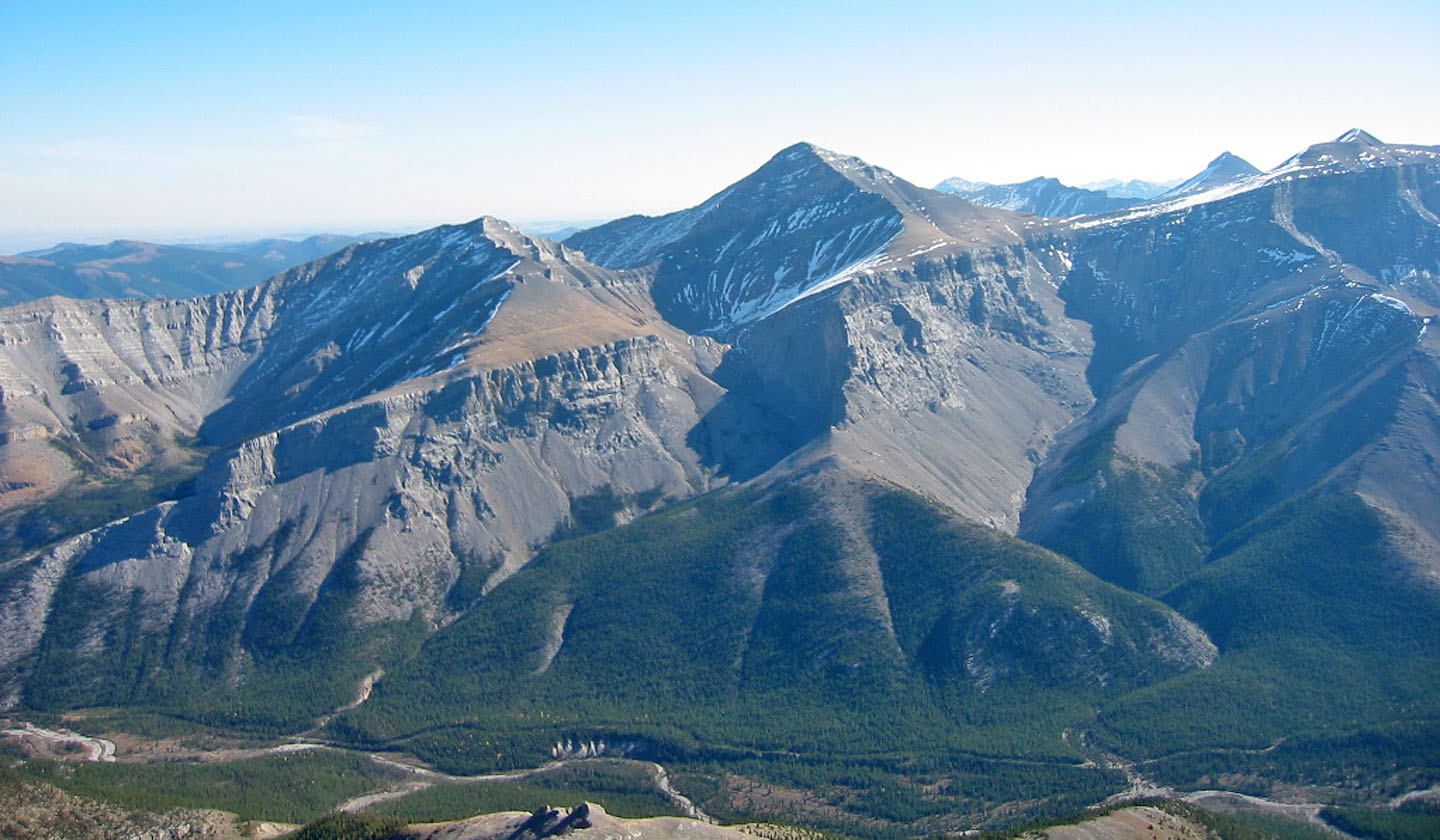
The morning sun lights up the mountain ahead
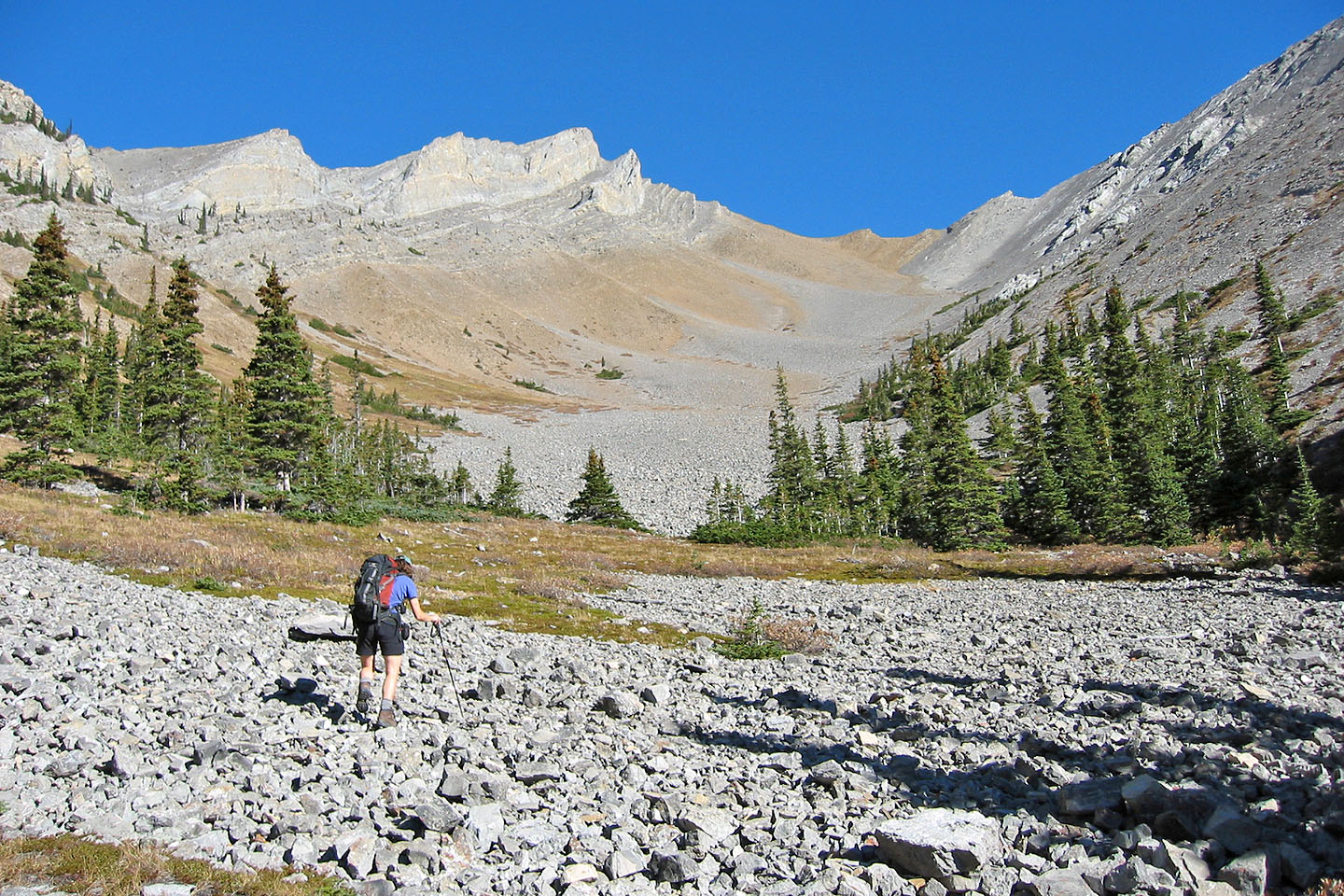
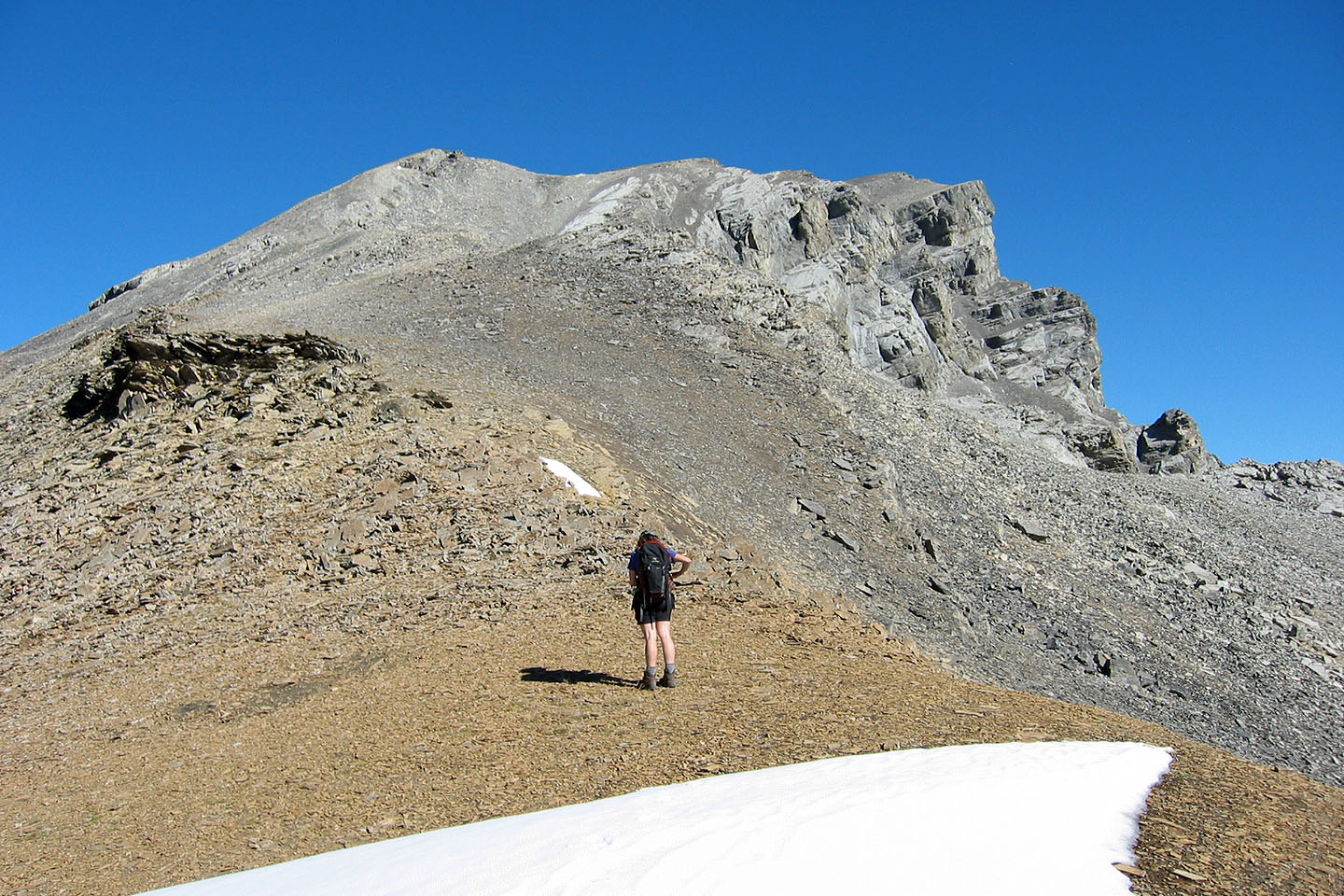
From the basin, we ascended the gully above Dinah and followed the ridge to the summit.
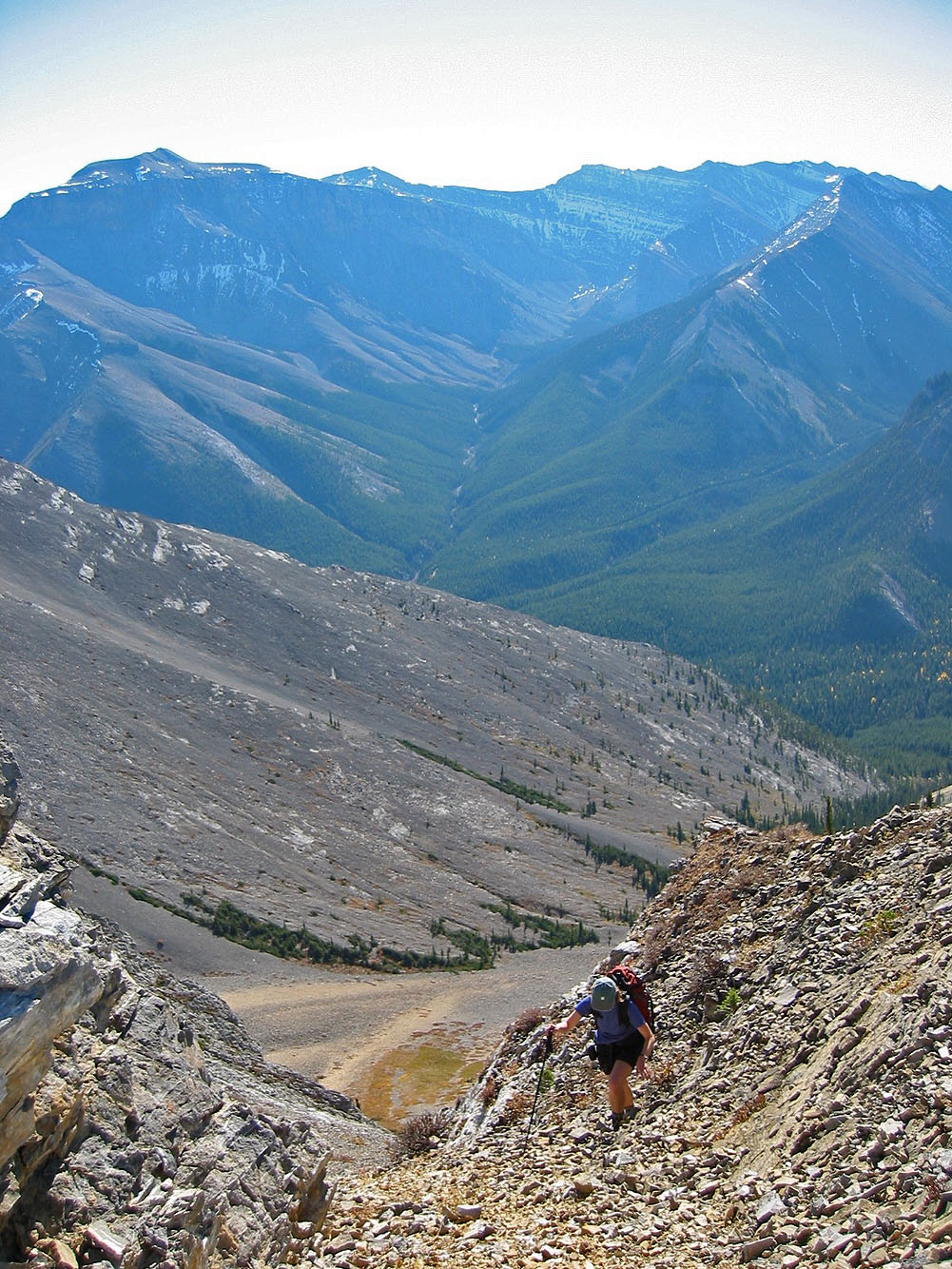
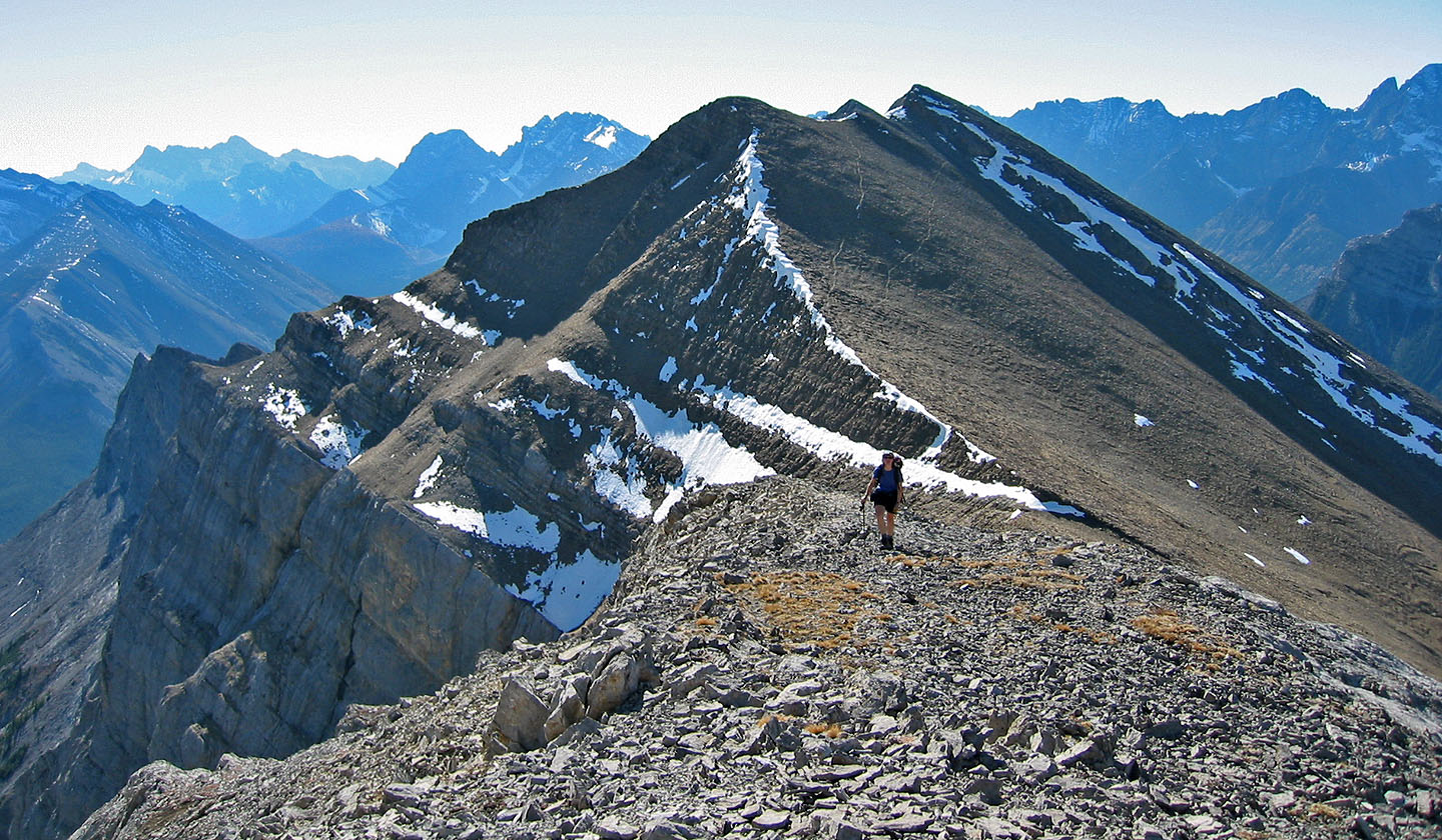
On the return trip we descended from the col on the right.
Heading for the gully ahead
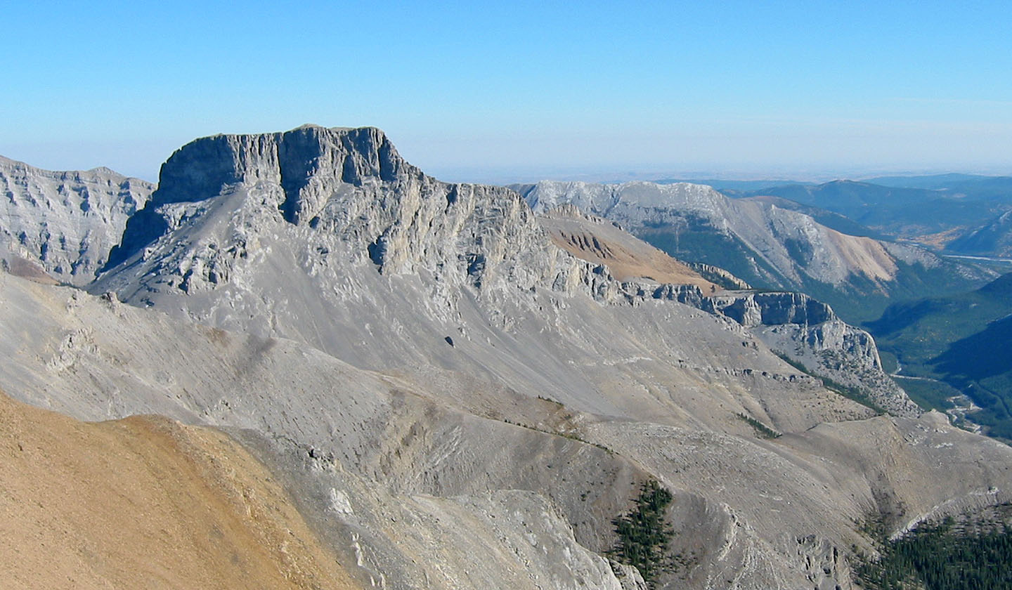
Looking back
Going up the gully
Almost at the top of the gully
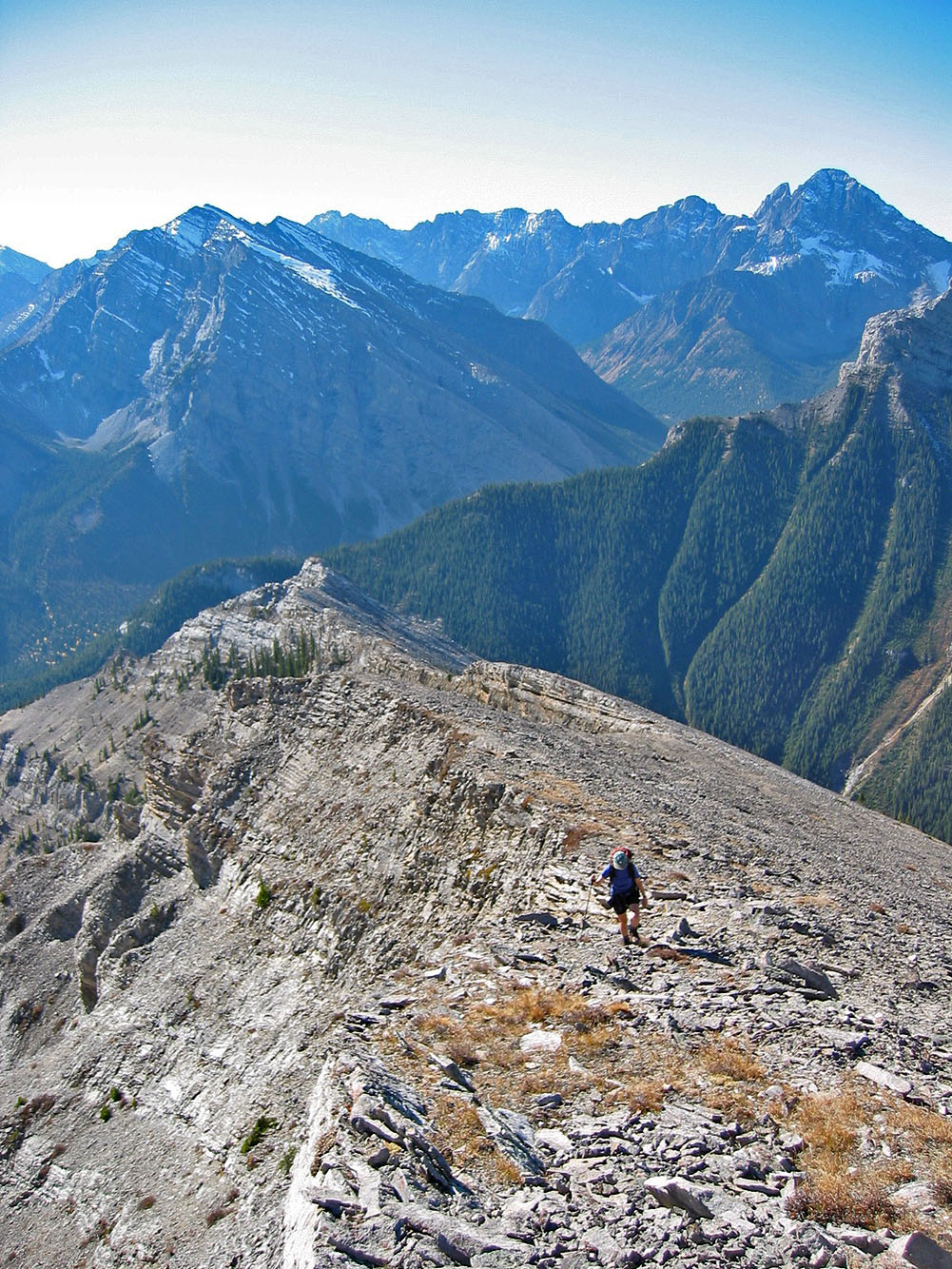
On the ridge
Pausing on a rocky prominence
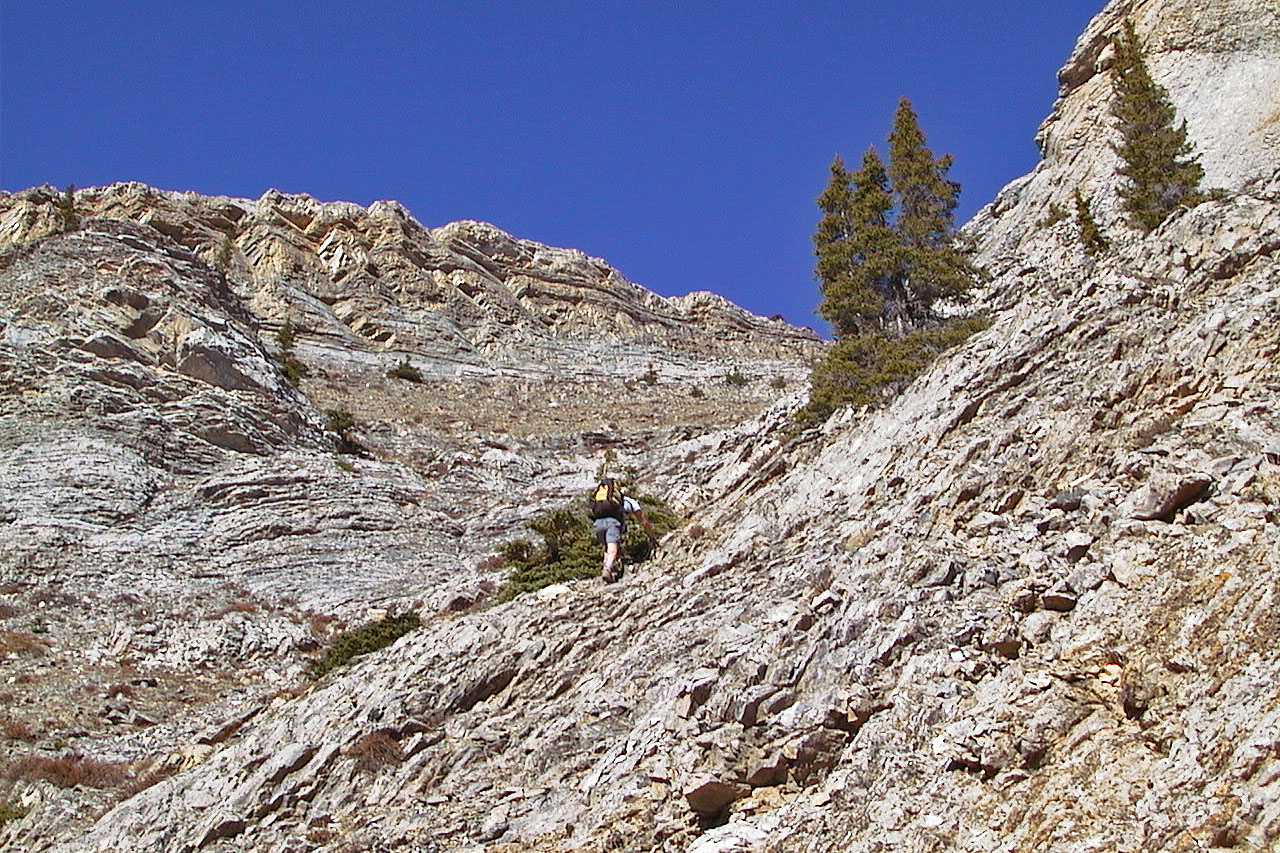
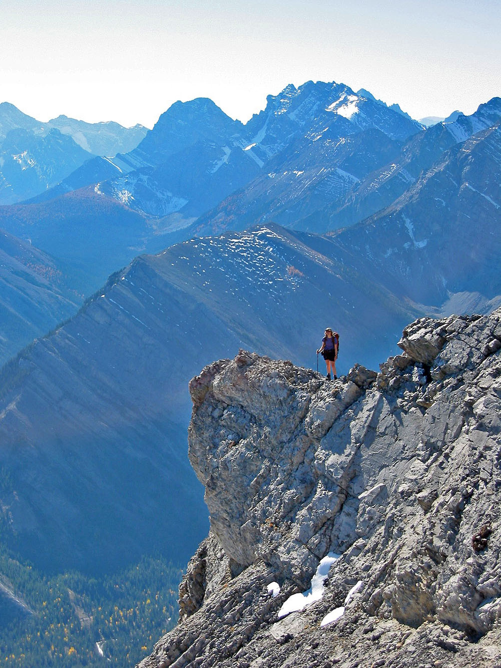
Scrambling below the ridge crest
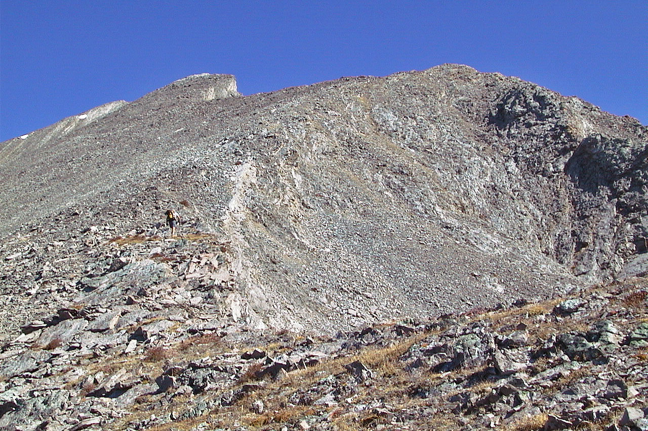
Final ascent up Mount Romulus
Final push to the summit
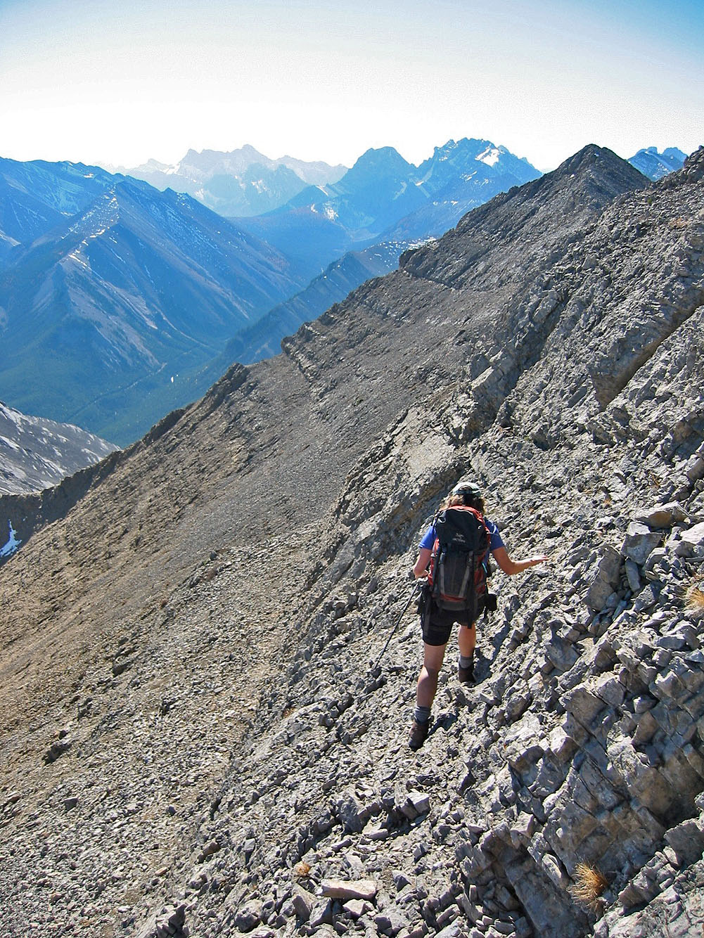
Hiking up the rubbly slope
Looking back as we neared the summit. You can make out the trail in the scree slope behind us.
Dinah comes to join me on the summit
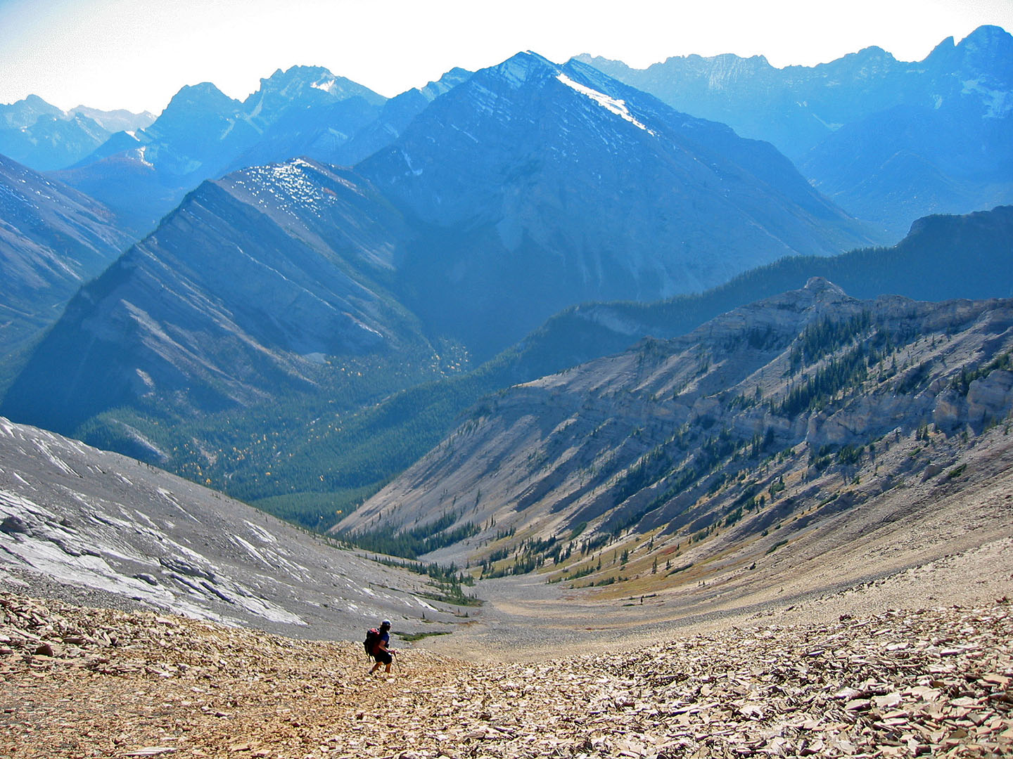
Heading down to the basin from the col
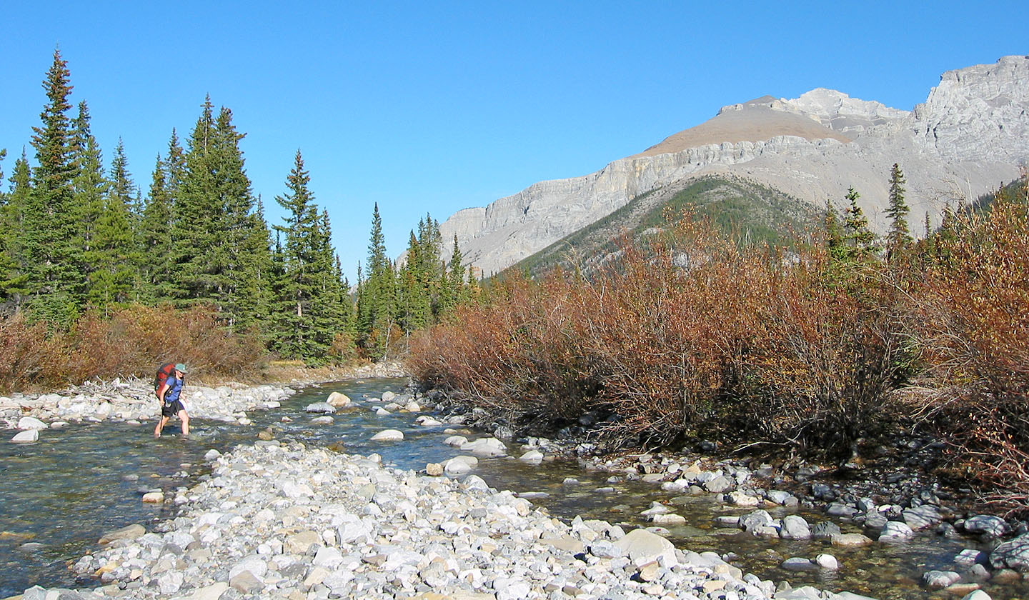
Fording Little Elbow River
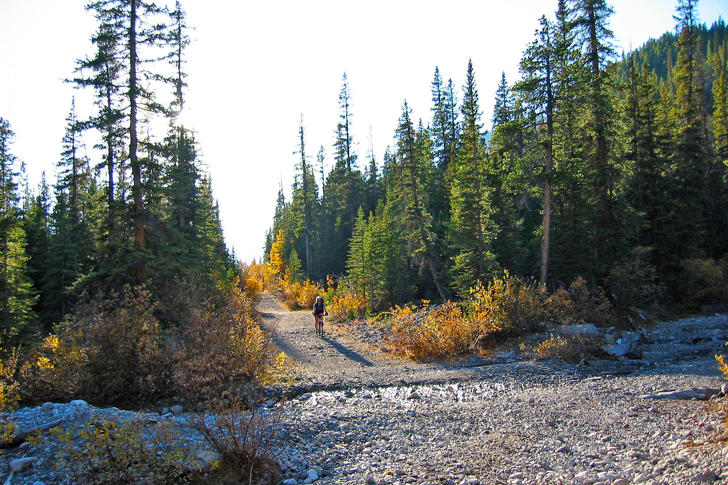
Riding back on Elbow Trail
82 J/15 Bragg Creek