bobspirko.ca | Home | Canada Trips | US Trips | Hiking | Snowshoeing | MAP | About
Mount Remus
Kananaskis, Alberta
August 25, 2007
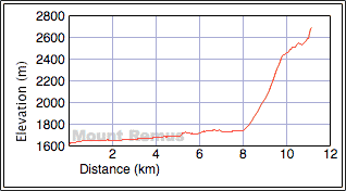
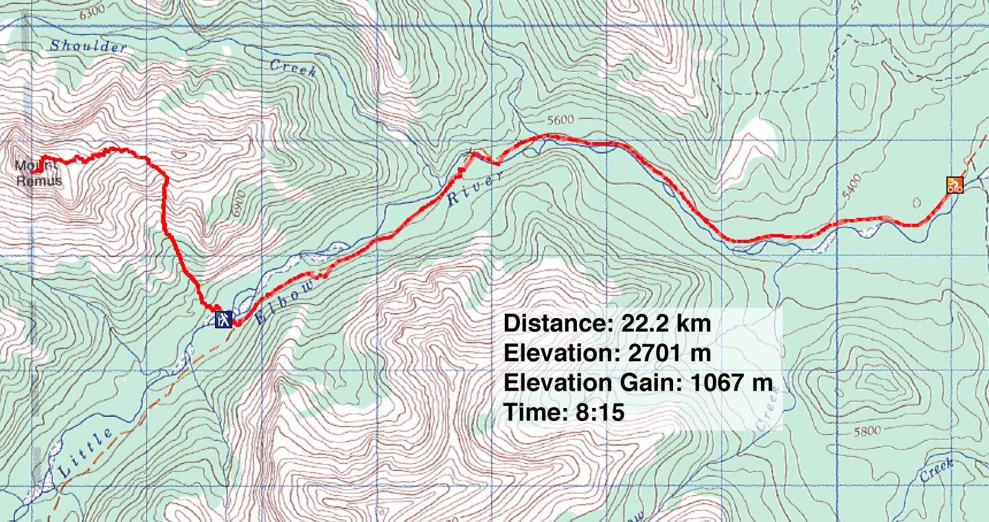
Distance: 22.2 km (13.8 mi)
Cumulative Elevation Gain: 1118 m (3668 ft)
Dinah and I enjoyed climbing Mount Remus: a good ascent trail, great scenery, and a quick descent on superb scree.
We cycled 7.5 km up the Little Elbow Trail to reach the flat area across from the ascent gully as described in Kane's book. After stashing our bikes and fording the river, we headed directly up the slope where we came across a good trail on the right side of the drainage.
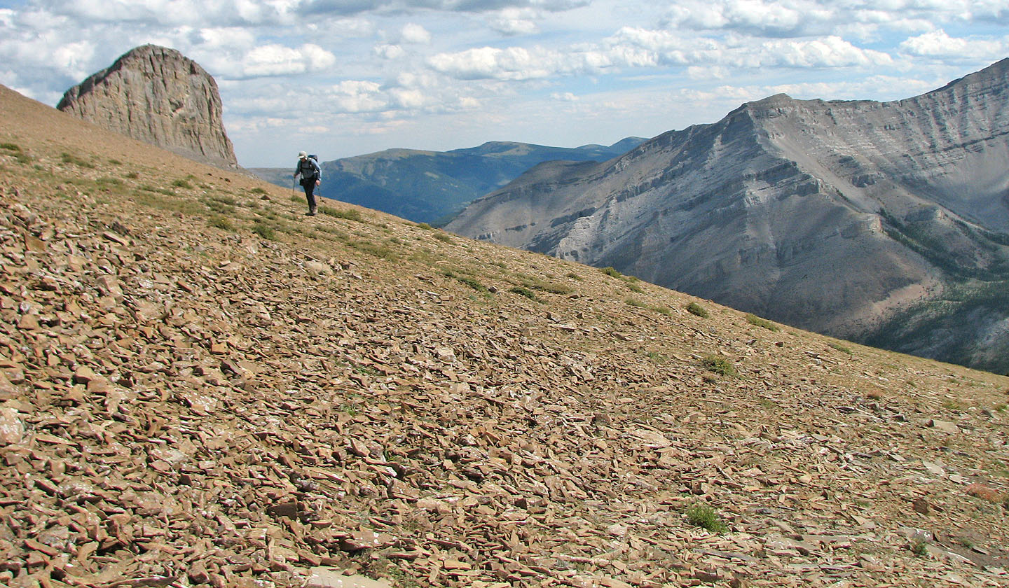
We followed the trail until it disappeared on an open slope. Out of the trees now, we had a clear view of our surroundings. We were below one gully and could see a second gully on our left. We would have had to traverse a lot of scree to reach the second gully, so it made sense to ascend the gully above us, although Kane suggests it's better used for the descent.
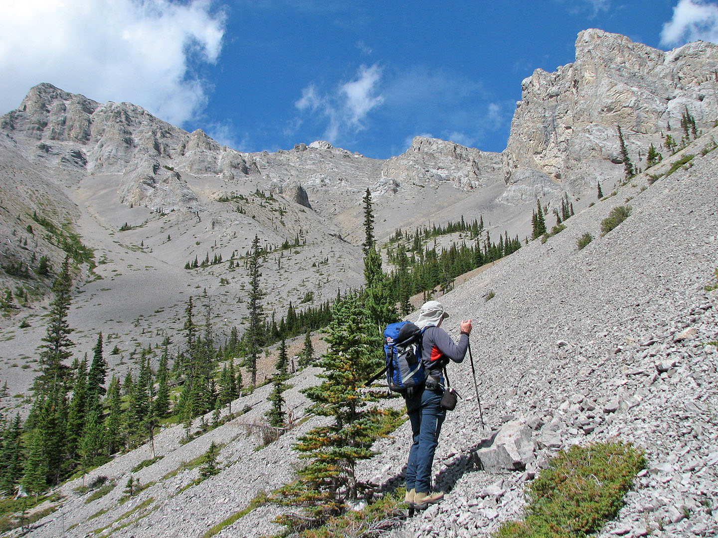
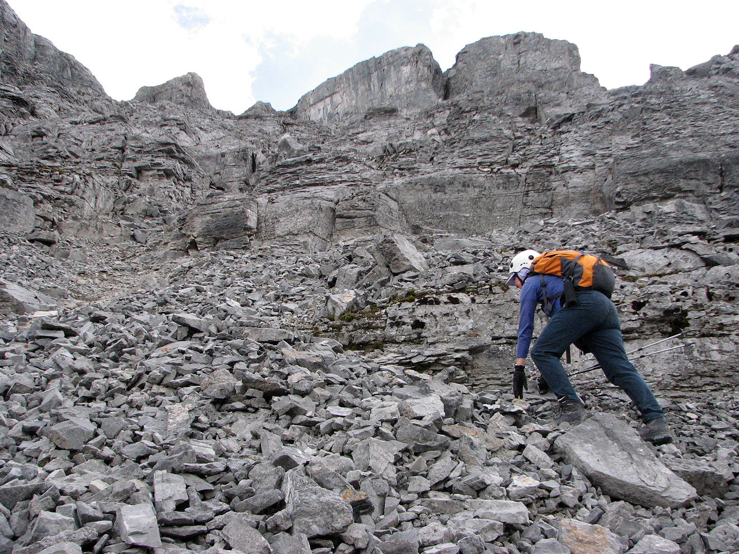
The right side of the gully was fairly stable for ascending the loose rock. It funnelled into a narrow gap between cliffs beyond which we could see the east ridge of Remus. After passing through the gap we turned left and found solid terrain to reach the ridge.
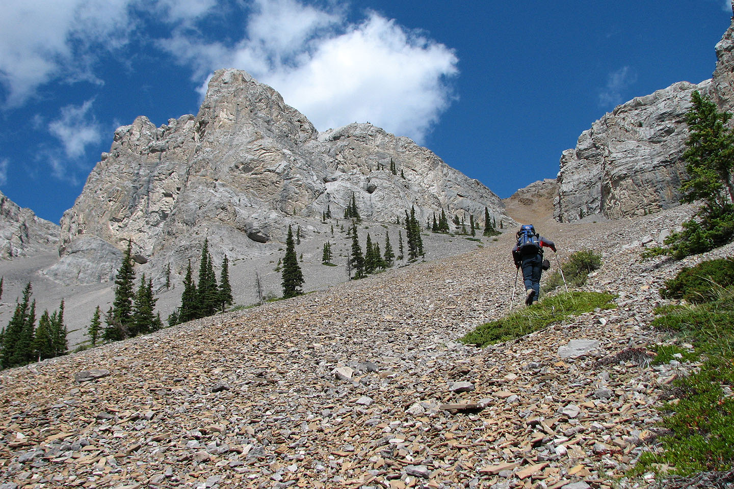
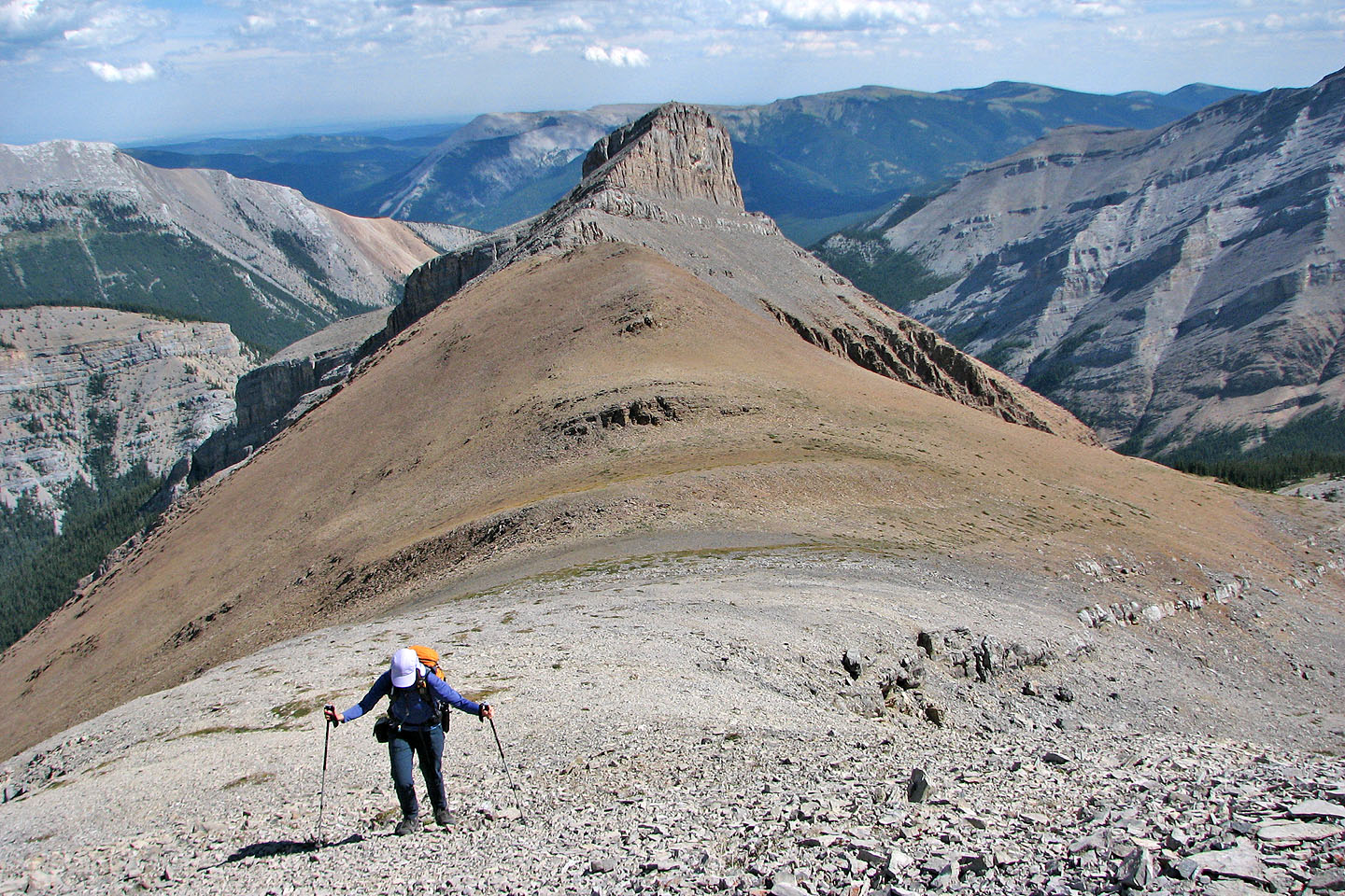
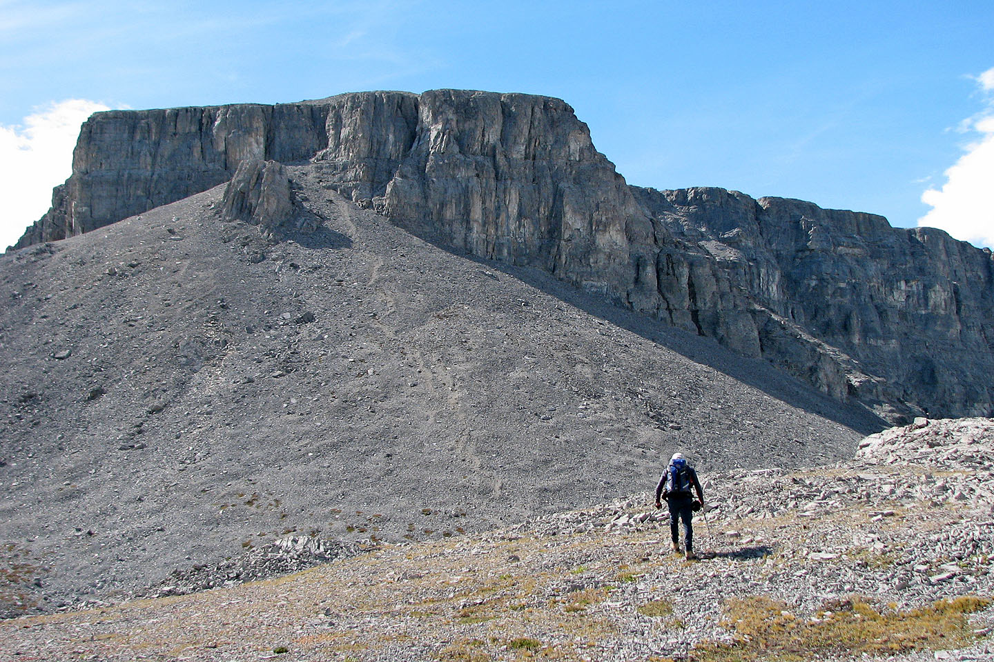
From a distance, the ridge leading to the summit block looked rugged, but we easily traversed it. Soon we were at the base of the scree slope leading to the summit block. We had planned to try the chimney, but Dinah wasn't feeling well, and if we were rebuffed there we would lose much time and effort dropping down and going around to the north side. We decided to go directly to the north side.
We headed to the north side where an indent in a short cliff band hid a chimney. After searching around a bit, we didn't see anything easier so we scrambled up it. After that, we picked our way up a steep slope covered in loose rock. I don't know why it's rated "moderate" as I've done easier "difficult" scrambles in Kane's book. We took our time ascending until we finally popped onto the dome-like top. From there it was a short walk to a flat summit.
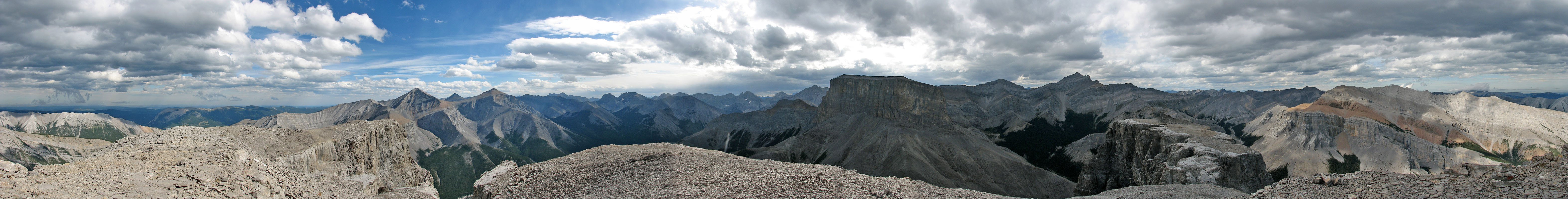
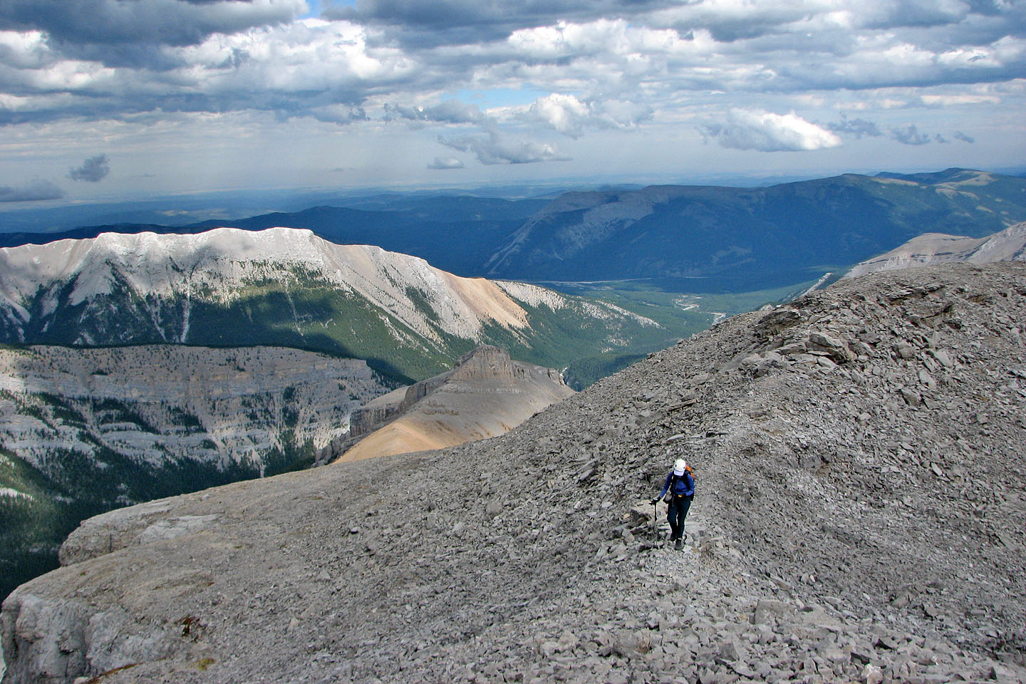
Mount Remus held surprisingly good views for such a little peak. The nearest mountains – Romulus, Glasgow, Cornwall and Fullerton – were easily recognized. The flat plateau extending north of the summit looked interesting to explore, but we didn't want to stay long because rain was expected later in the day. After a short stay, we returned the same way.
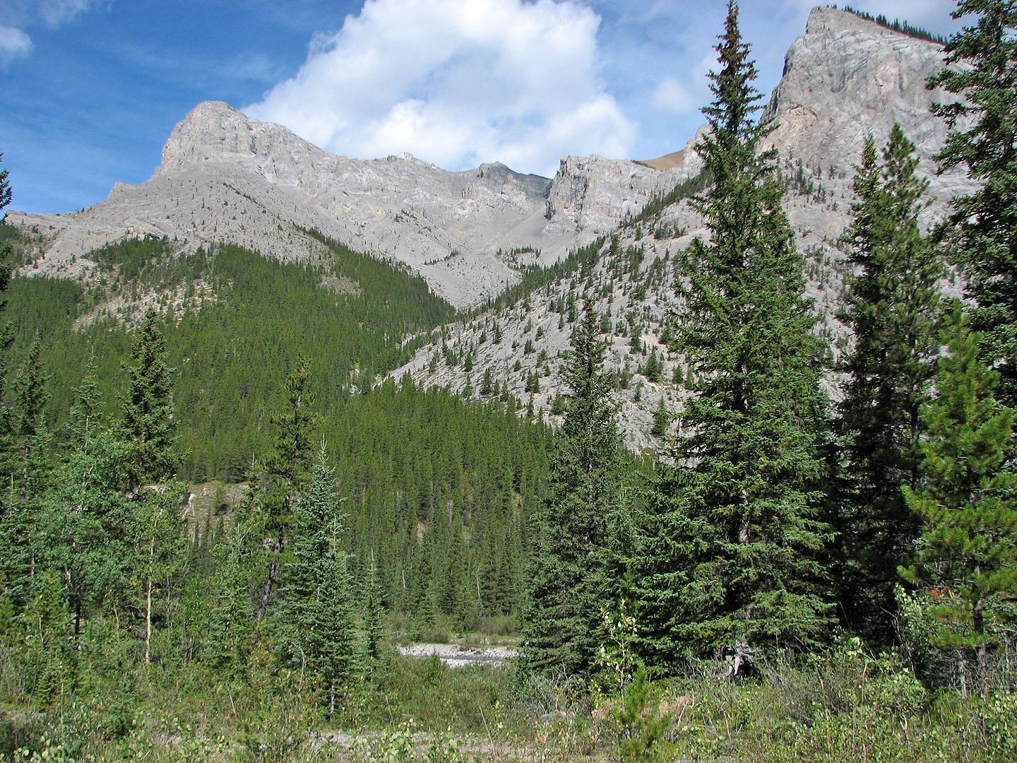
View of the ascent gully from where we left Little Elbow Trail
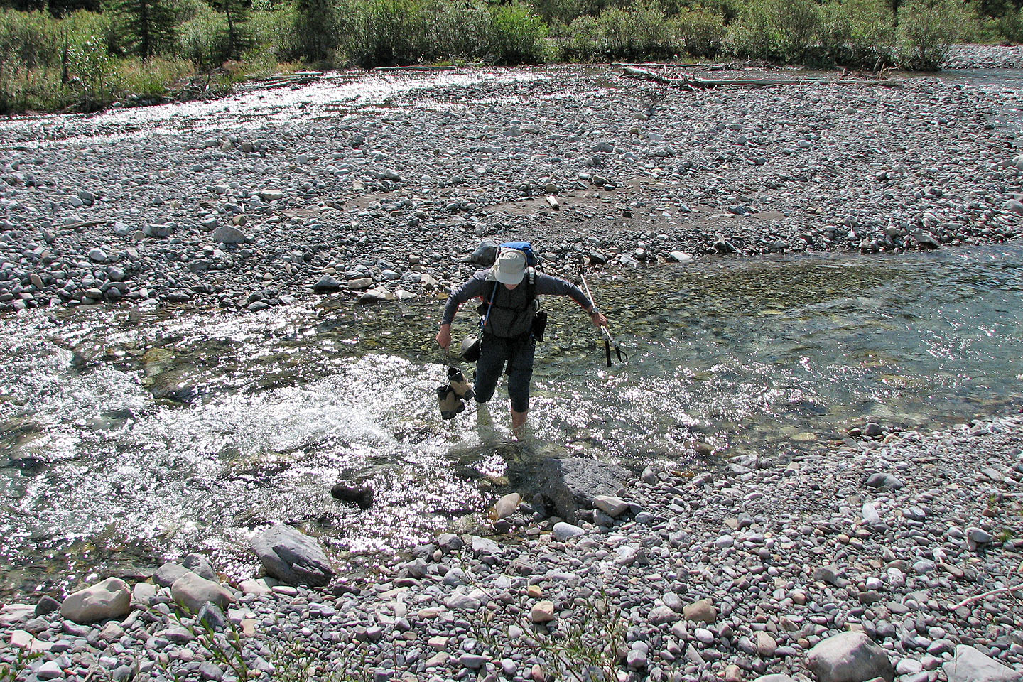
Crossing the Little Elbow River
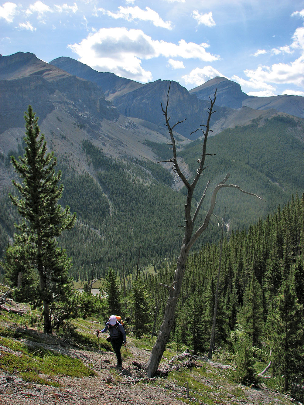
Hiking up the gully trail
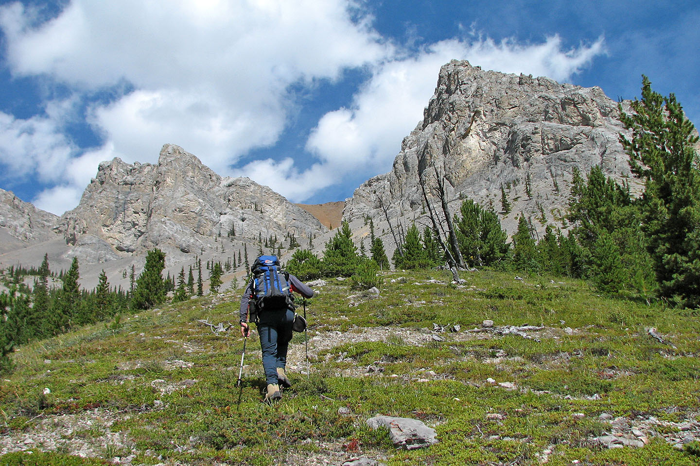
The trail ends below the first gully
Starting up the scree
Second gully is on the left
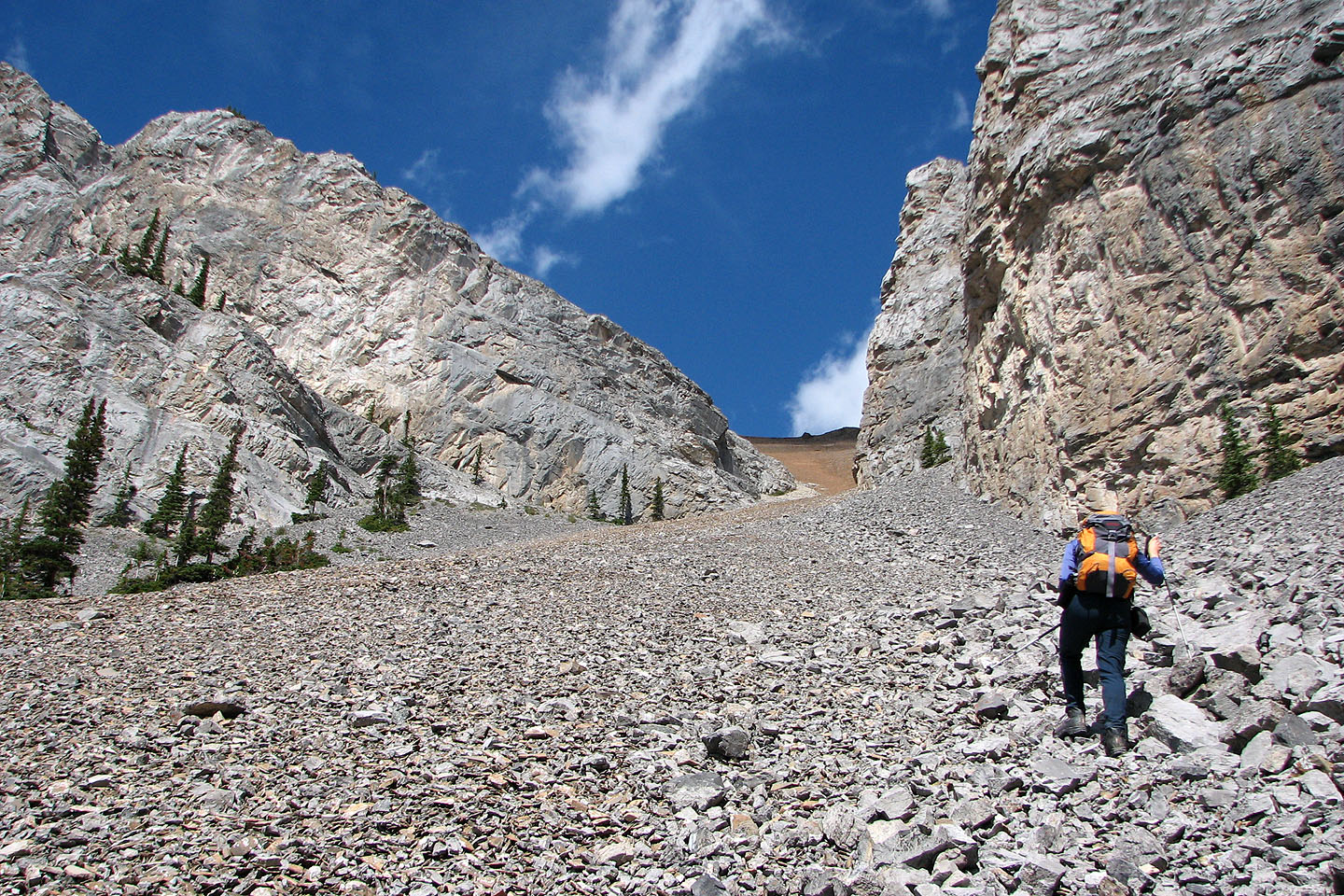
Coming up to the narrow gap in the gully
The scene above the gap
Looking down the gully
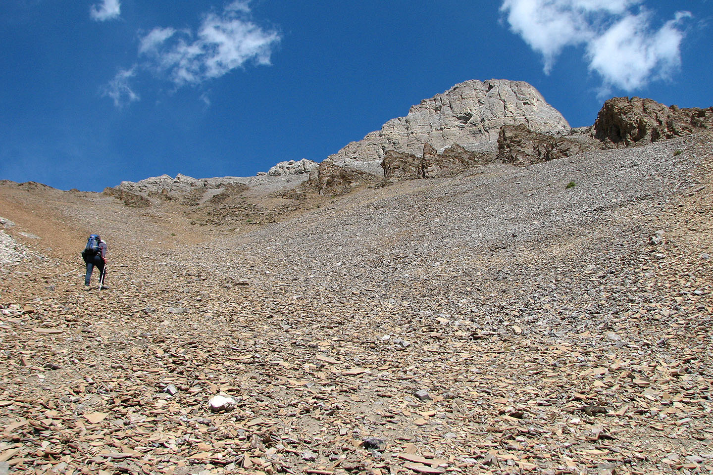
After the gap we keep left on firmer ground
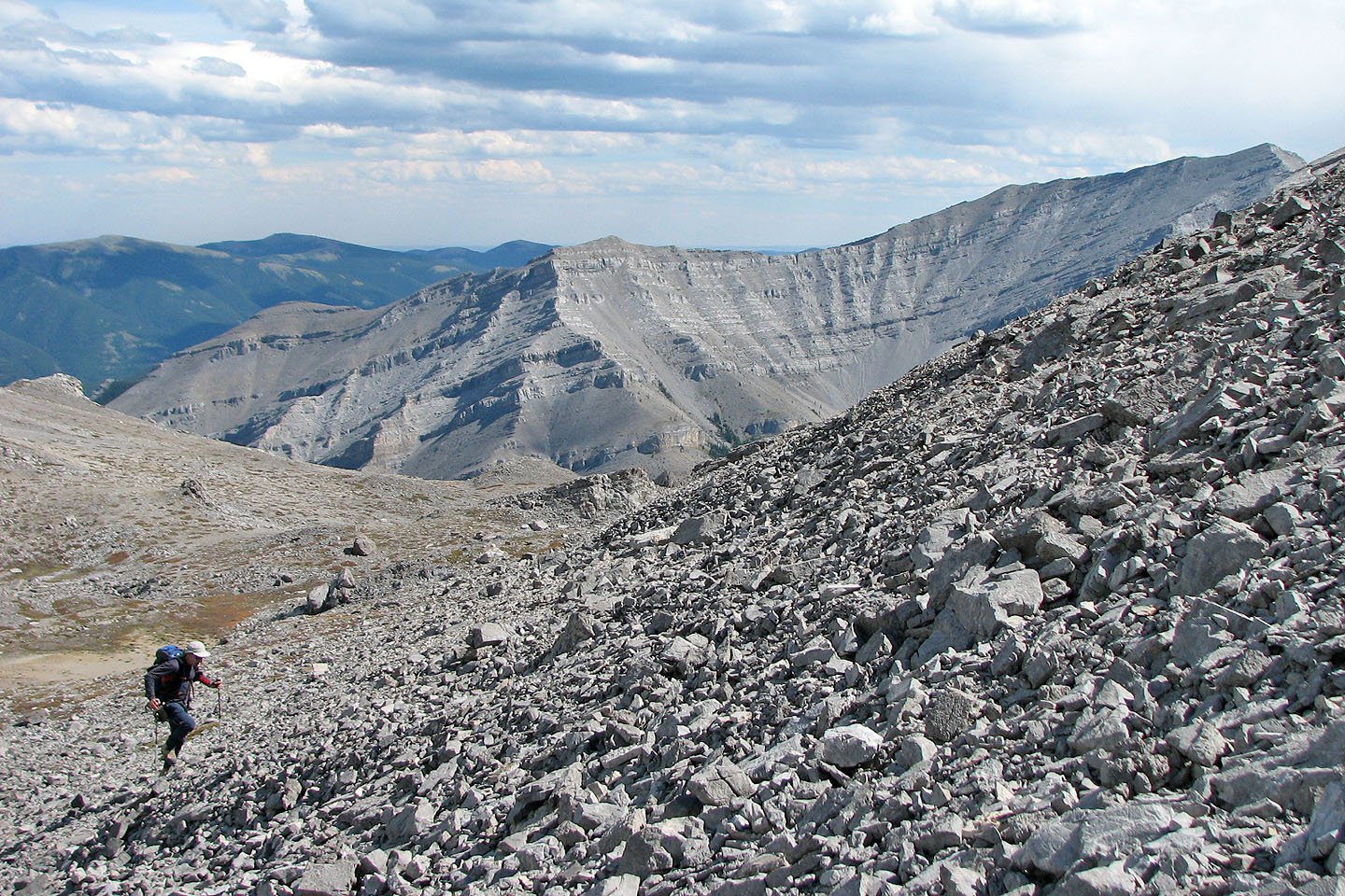
View east as we near the ridge crest
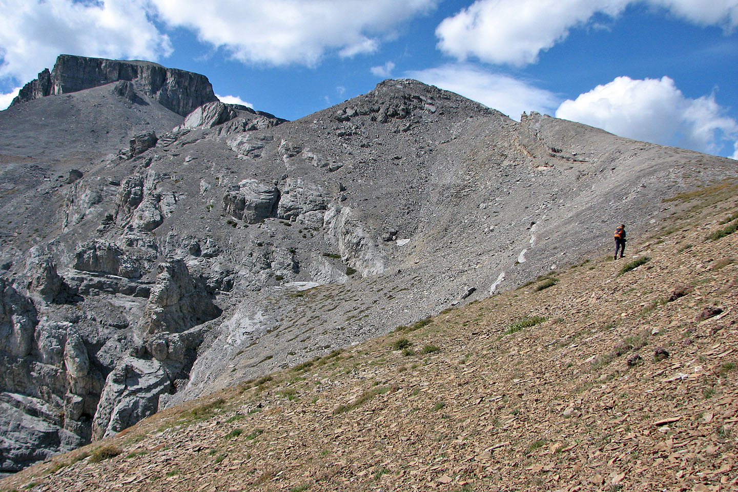
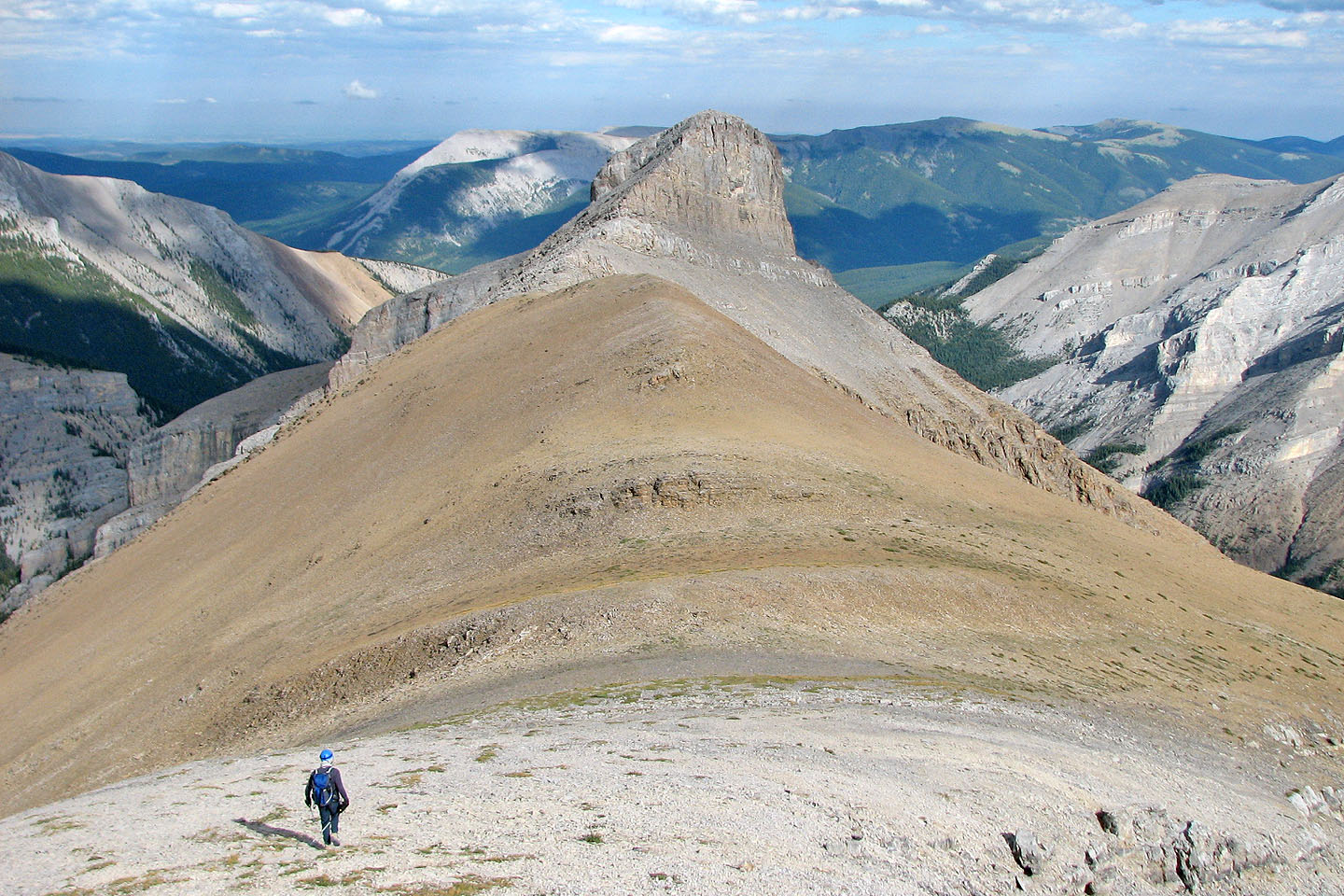
A rocky ridge leads to the summit block
Looking back
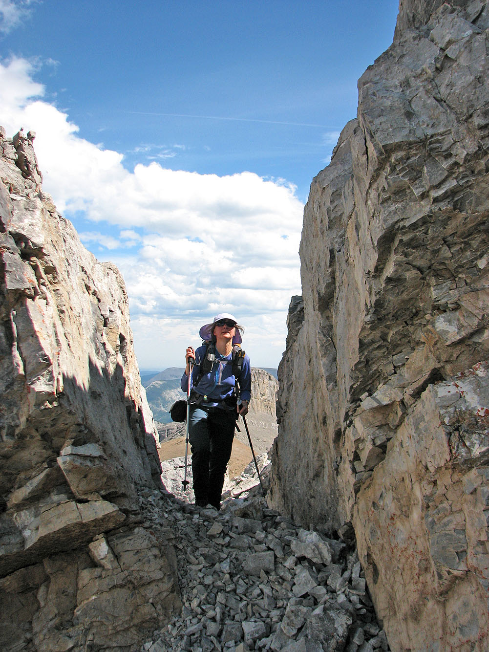
We hiked through a gap between rocks

We headed to the right side of the summit block where the slope appears gentler
A trail on our left leads to the chimney, but we went right and ascended the north side
Starting up the talus slope below the summit block
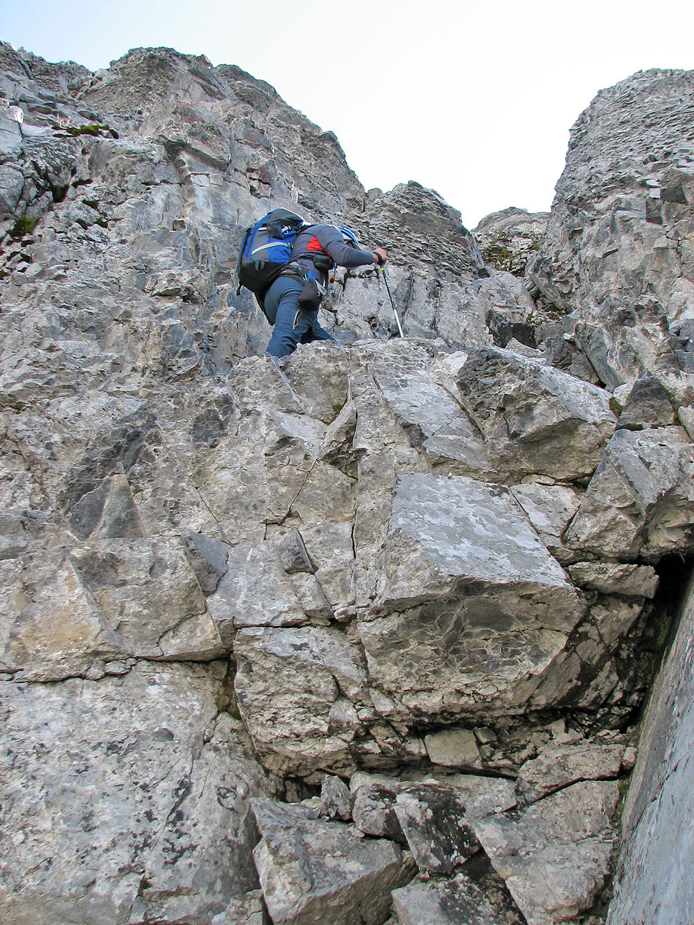
Climbing a chimney

Dinah follows
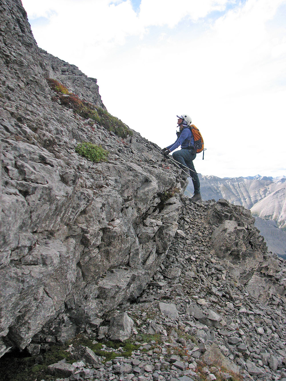
From the chimney we worked our way right to easier terrain
Terrain is steeper than it looks
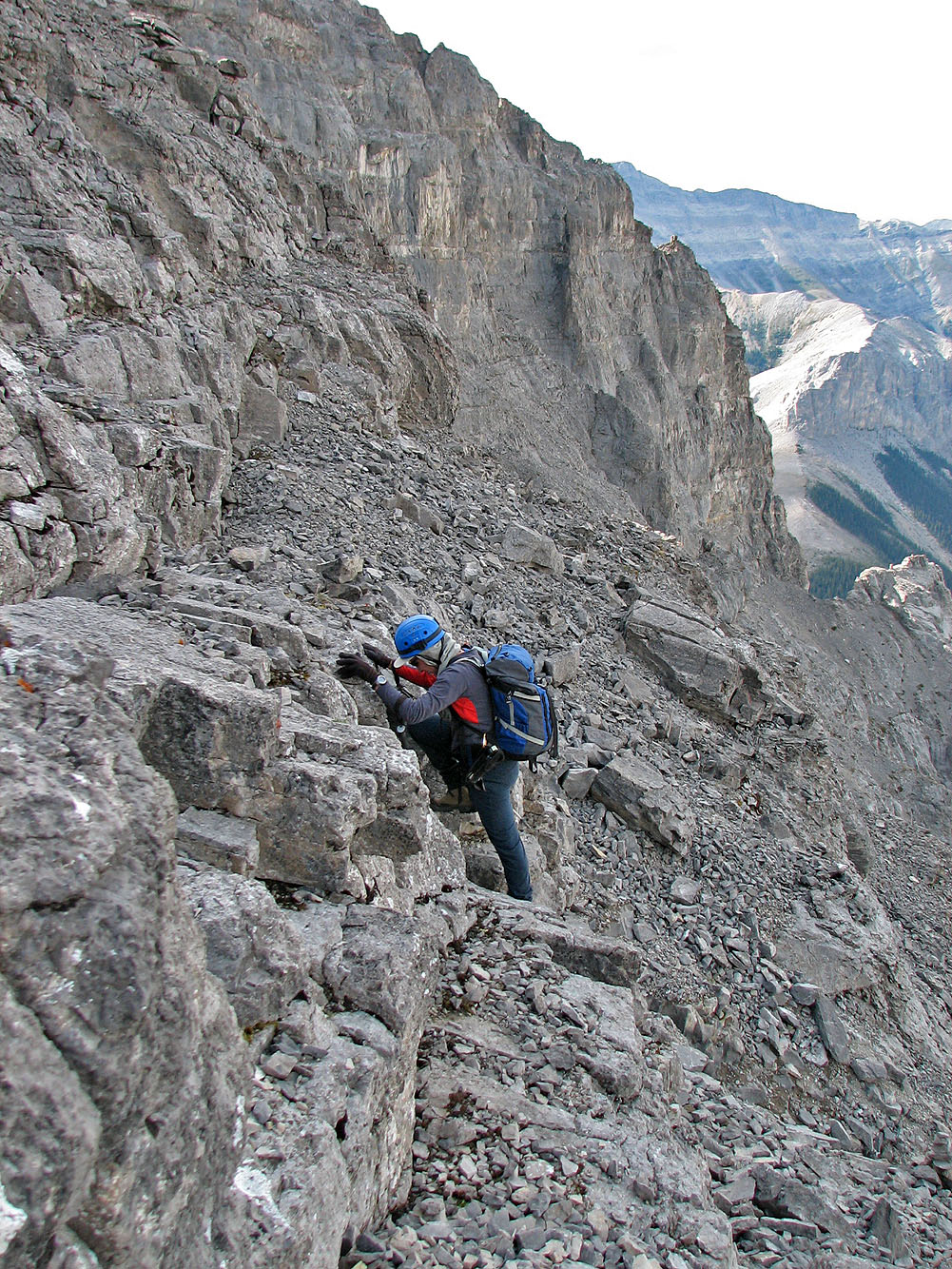
And it's covered in loose rock
The grade eases near the top
Seconds away from the summit. We climbed out at the corner on the lower left.
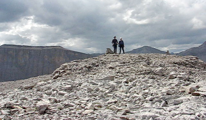
On the summit
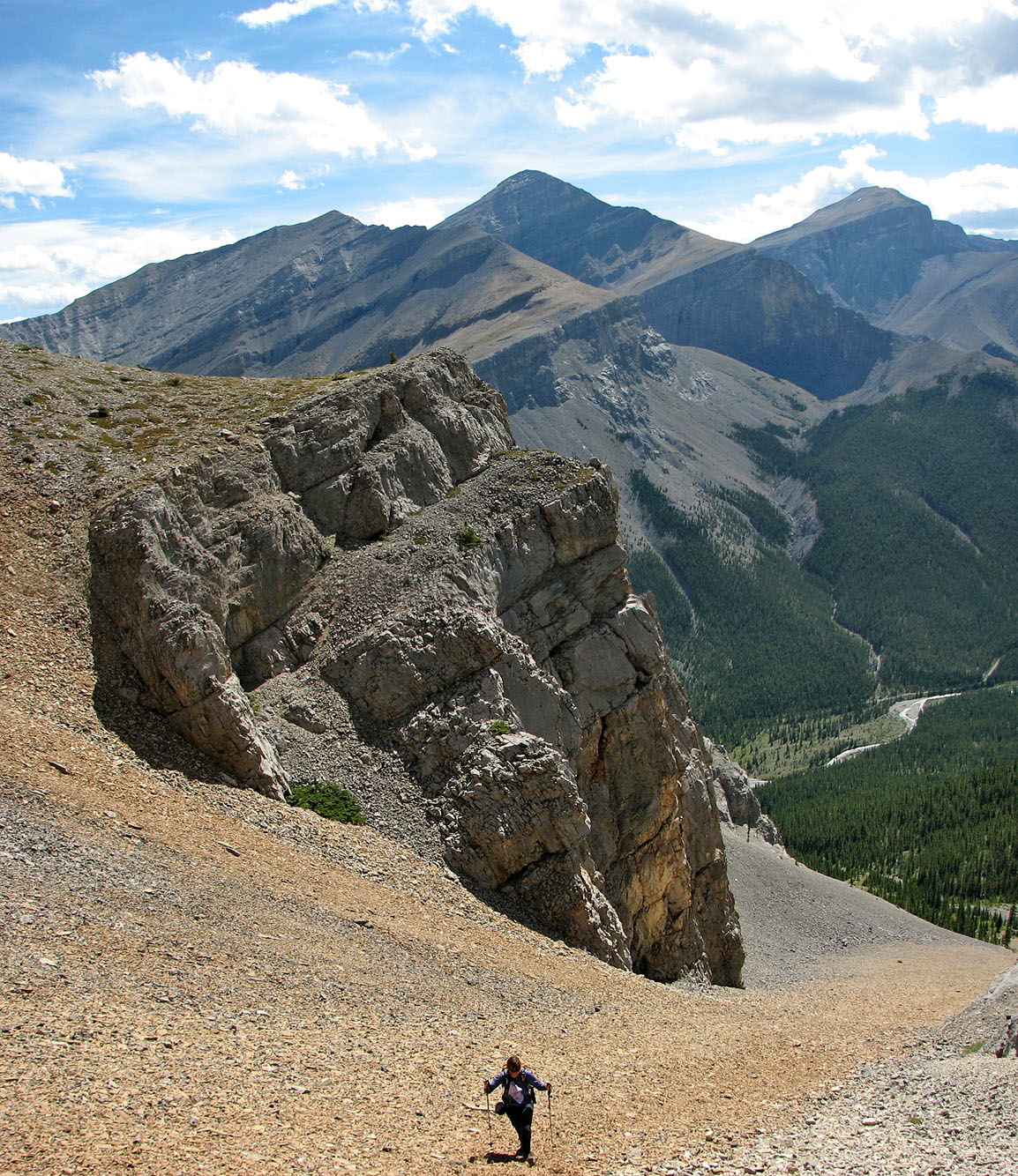
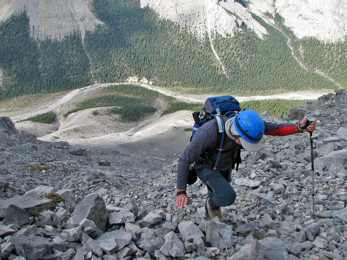
Descending back down the ridge to the descent gully
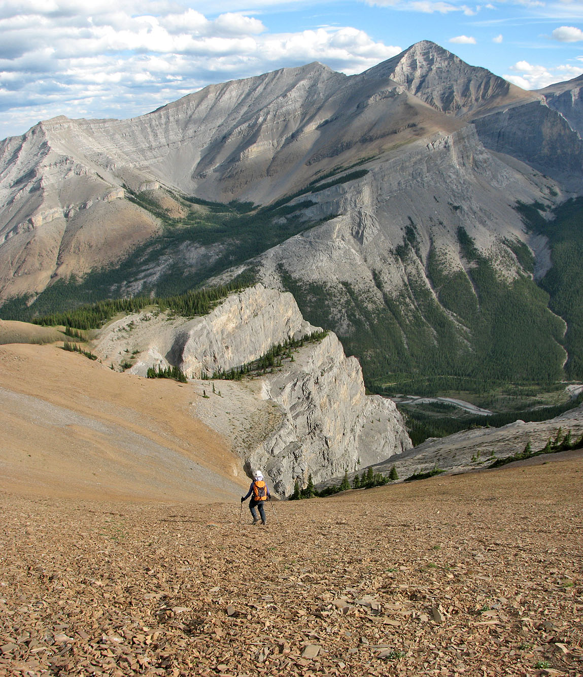
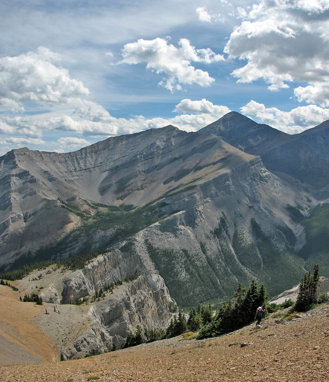
Soft scree on the descent. Mount Glasgow on the right.
82 J/15 Bragg Creek