bobspirko.ca | Home | Canada Trips | US Trips | Hiking | Snowshoeing | MAP | About
Panorama from Barndoor Peak
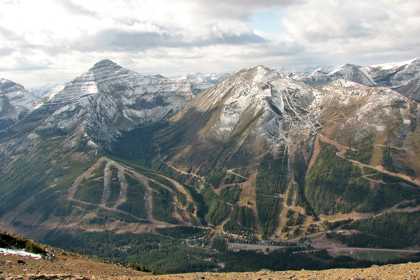
Southfork Mountain and Barndoor Peak
Castle Provincial Park, Alberta
October 25, 2008
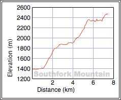
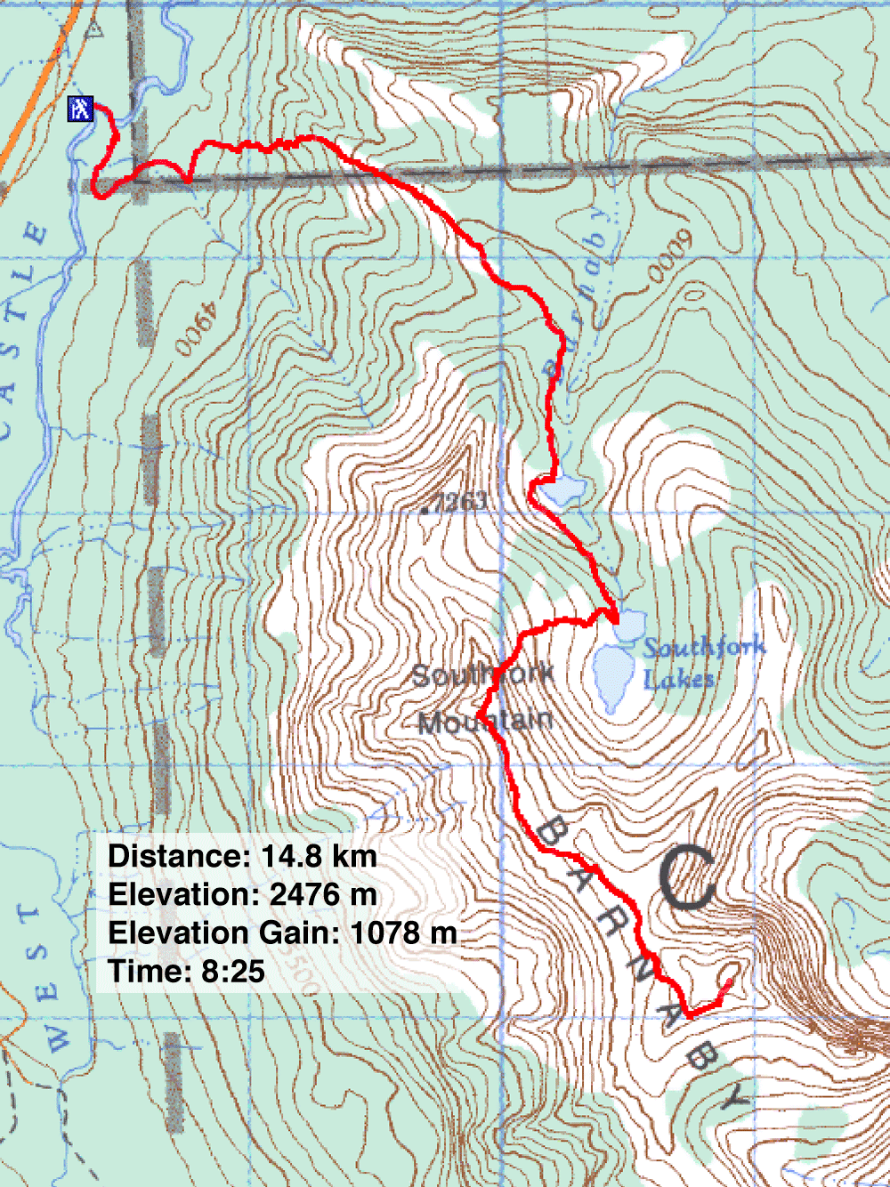
Distance: 14.8 km (9.2 mi)
Cumulative Elevation Gain: 1153 m (3783 ft)
The east slope isn’t the quickest way to reach the summit of Southfork Mountain, but it must be easier and more scenic than the west slope route suggested in More Scrambles. Unlike the west slope, the east slope offers a good trail. The trail passes a broad waterfall and teal blue lakes, lakes that set a striking background as you hike to the rocky summit.
We almost cancelled this trip because of a wind warning. The forecast called for 70 kph winds gusting to 90, but by the morning when we left, the wind had abated to 40 gusting to 60, and the warning was lifted. I asked Sonny Bou to join Dinah and me. Undeterred by the 6:00 am departure from Calgary and a blustery day, he agreed.
The trail is accessed from a 4X4 road 10 km past South Castle River bridge on Hwy. 774. We drove 400 m down the road, turned left and parked at an open area. After hiking 200 m, we crossed the shallow river. Keeping left, we went around a bend to meet the main trail. 500 m after crossing a small drainage, we took a trail on our right. We soon caught sight of the open west slopes that the trail climbs.
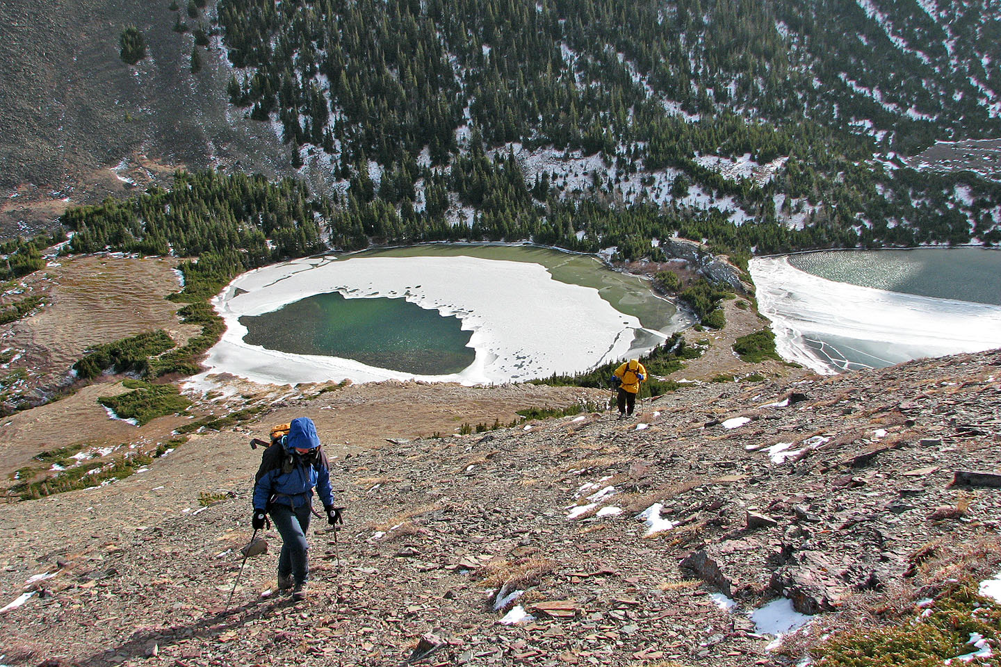
Once on the slopes, we were blasted by bitter winds but found relief when the trail levelled off and entered the trees before the first lake. From the first lake, it's a short hike to the second lake.
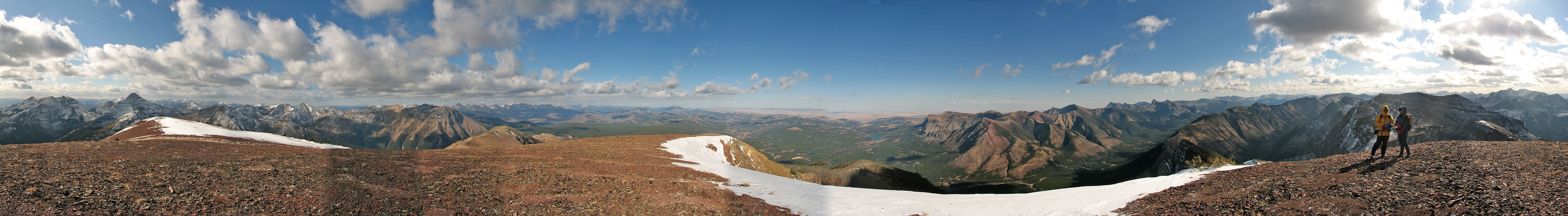
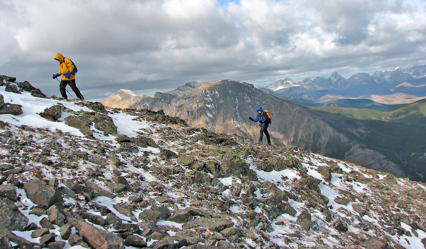
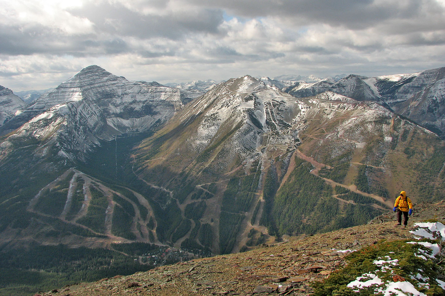
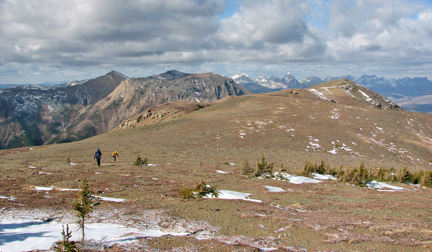
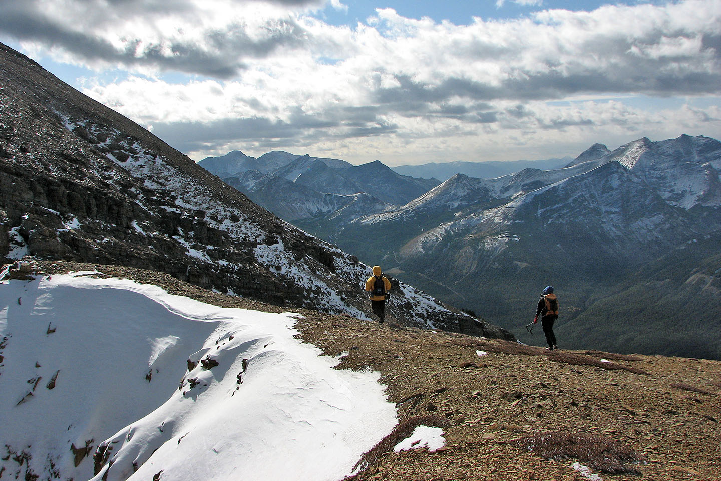
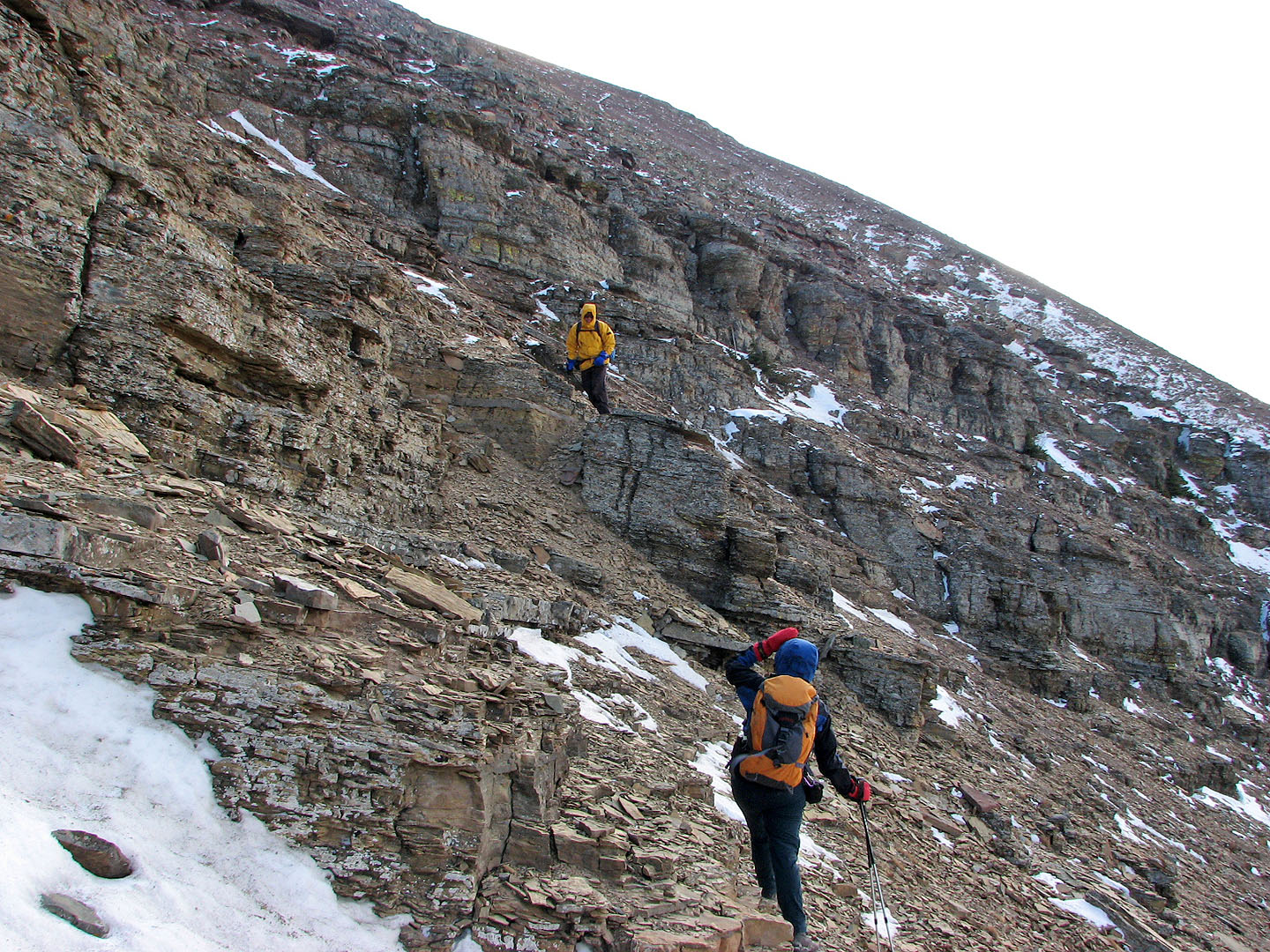
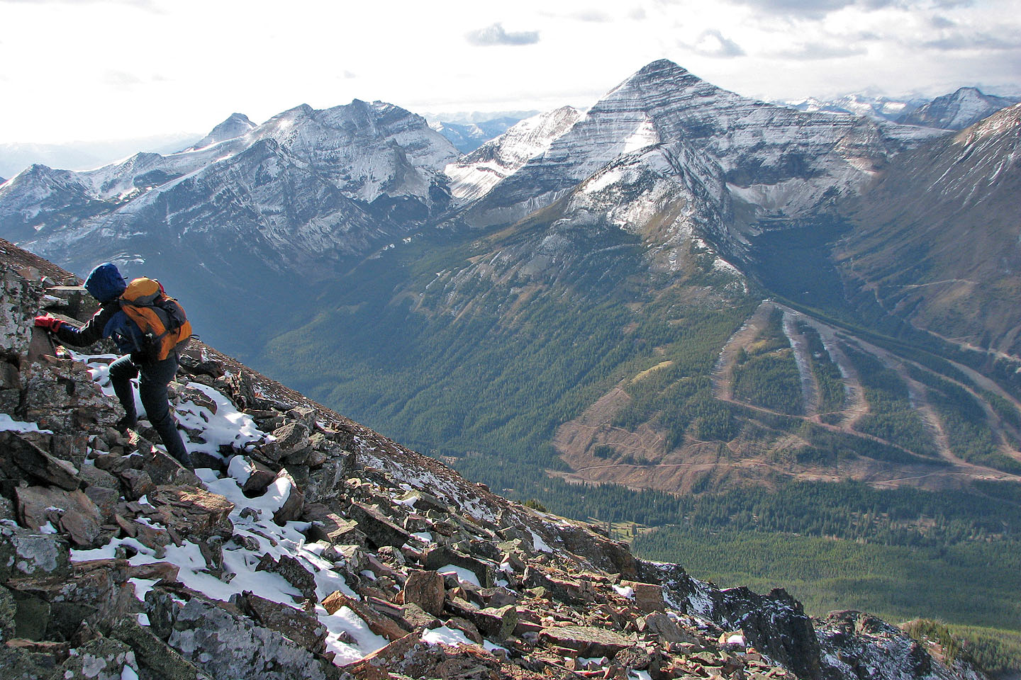
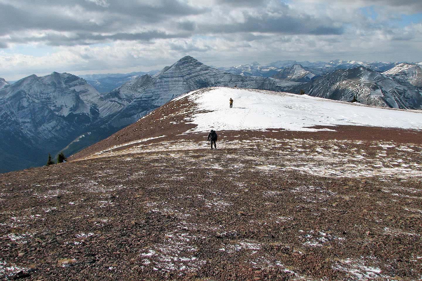
We were still sheltered when we ascended the open east slopes, but on the summit, the wind hammered us. After freezing for a half-hour on top of Southfork Mountain, we considered turning back, but our sense of adventure got the better of us. We headed south along the ridge. The hike soon warmed us up, and we continued to the base of a cliff band. After some easy scrambling, we walked to Barndoor Peak aka The Amoeba. We could see the summit of Barnaby Ridge, but it was too far to reach with the little daylight we had left. We had enough of the wind anyway.
As we headed back, we took a meandering course to study the ridge. We had hoped to find an alternate descent back to the upper lakes, but since none was apparent, we hiked back over Southfork Mountain. Before heading down to the second lake, however, we diverged to climb a nub overlooking the third lake.
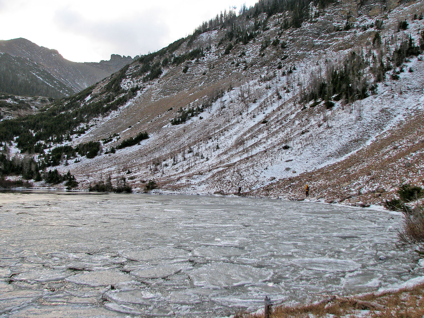
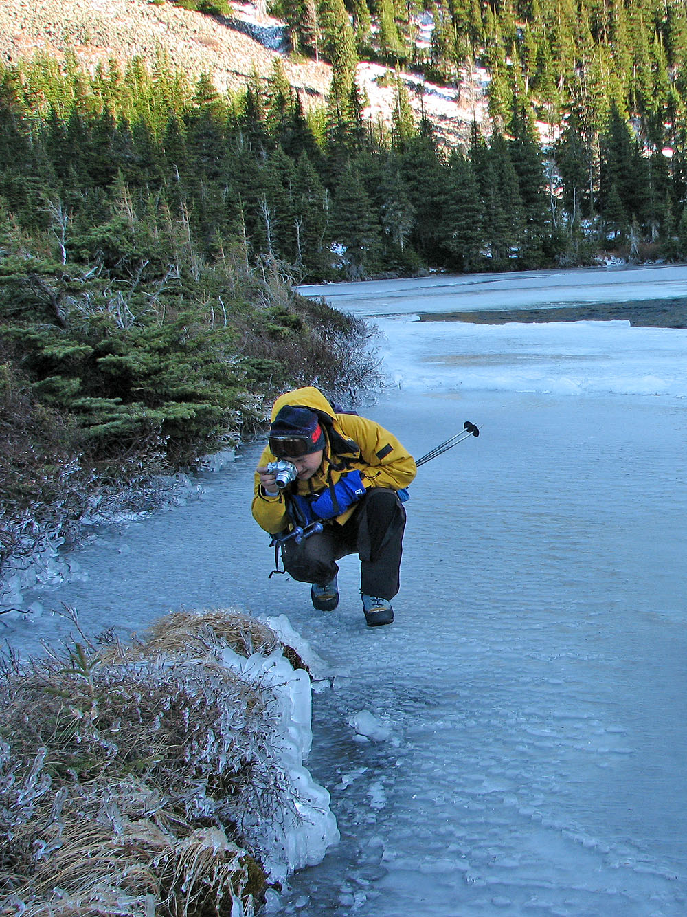
Back at the second lake, we took a close look at the frozen shoreline. The wind had whipped water onto the shore, coating everything in ice, creating a frozen wonderland. After taking several photos we hiked back along the trail.
Despite the wind and the cold, we enjoyed our ascent up Southfork Mountain and the ridgewalk to the high point. Had we gone earlier in the season, doubtless we would have had sufficient daylight to also nab Barnaby Ridge. But climbing Barnaby Ridge is a good excuse to return to this area!
Postscript: The trail has a new start. See our 2021 trip.
KML and GPX Tracks
Sonny Bou's Trip Report
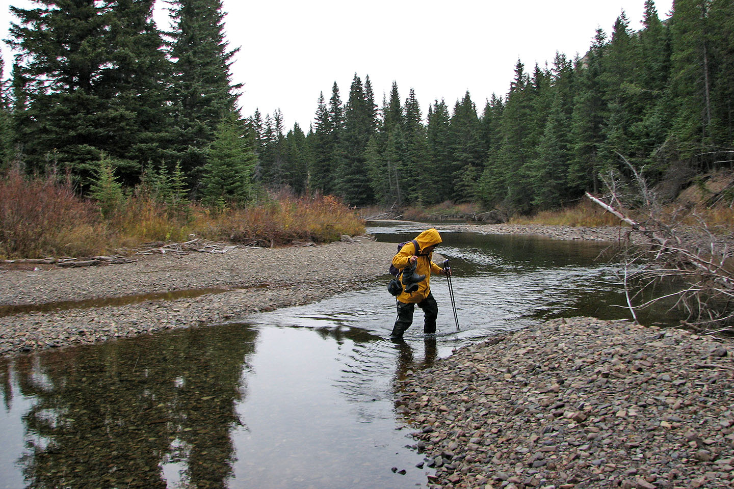
Sonny fords West Castle River
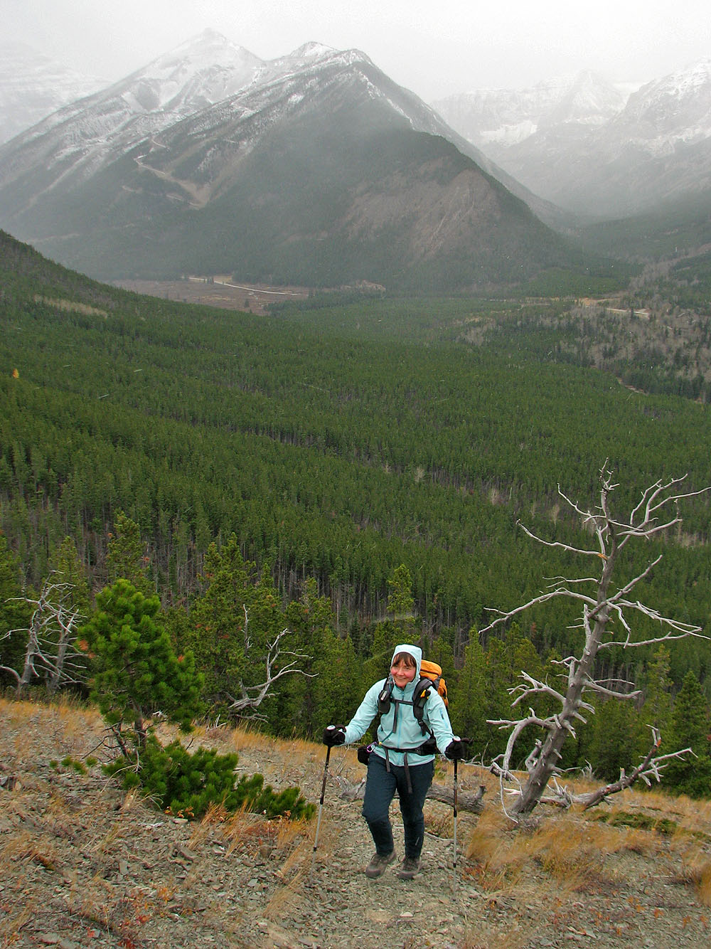
Hiking up the trail
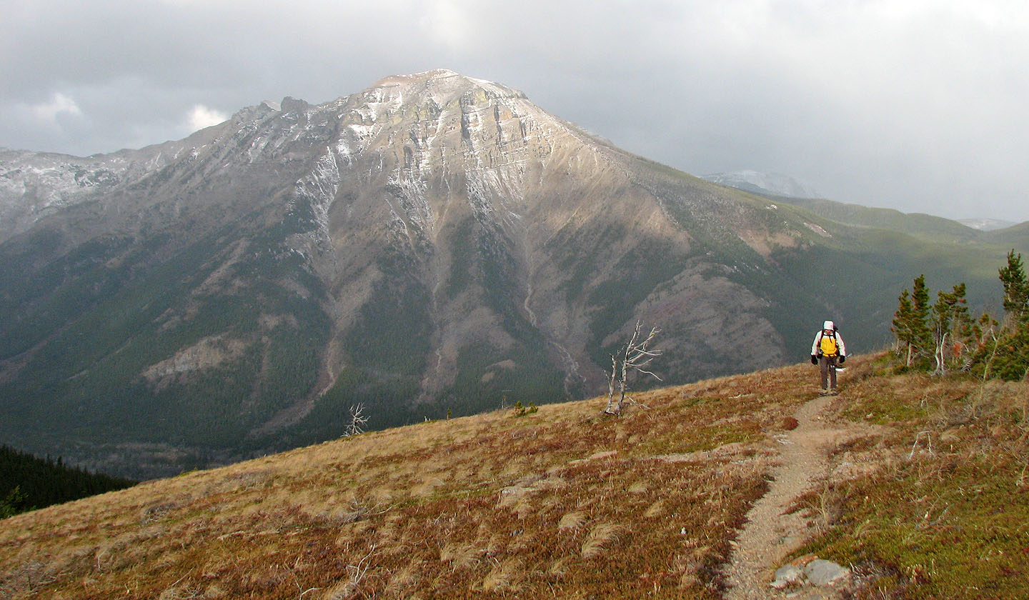
Syncline Mountain in the background
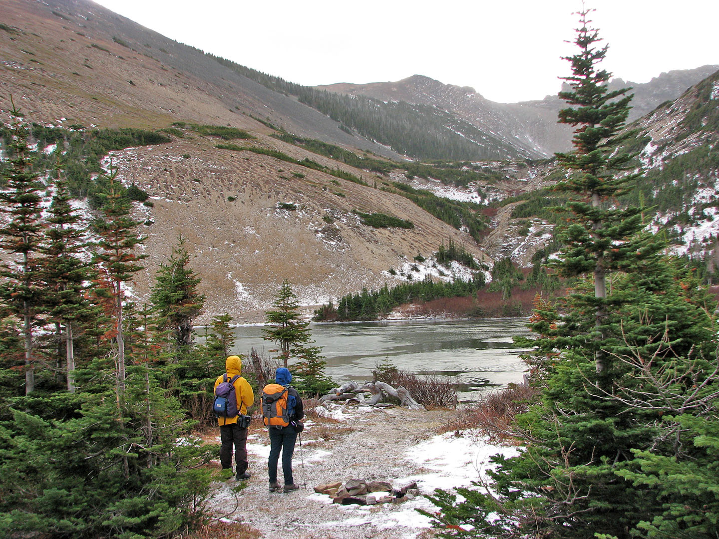
Barnaby Lake
Sonny hikes around the frozen lake
Looking back at the first lake while on the way to the second lake
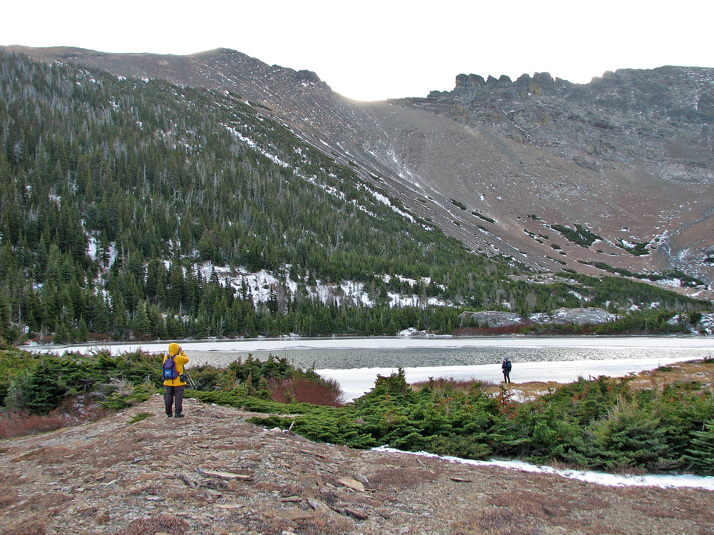
The second lake
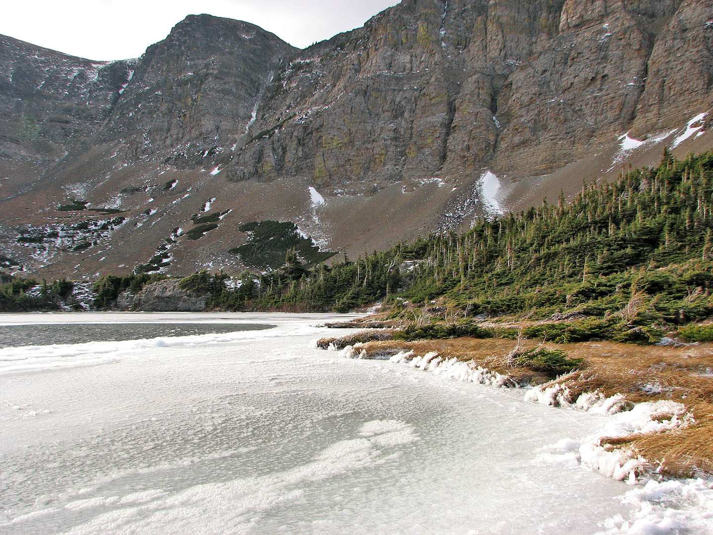
The frozen shore of the second lake
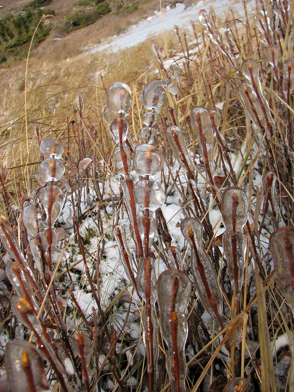
Ice encases shoreline vegetation
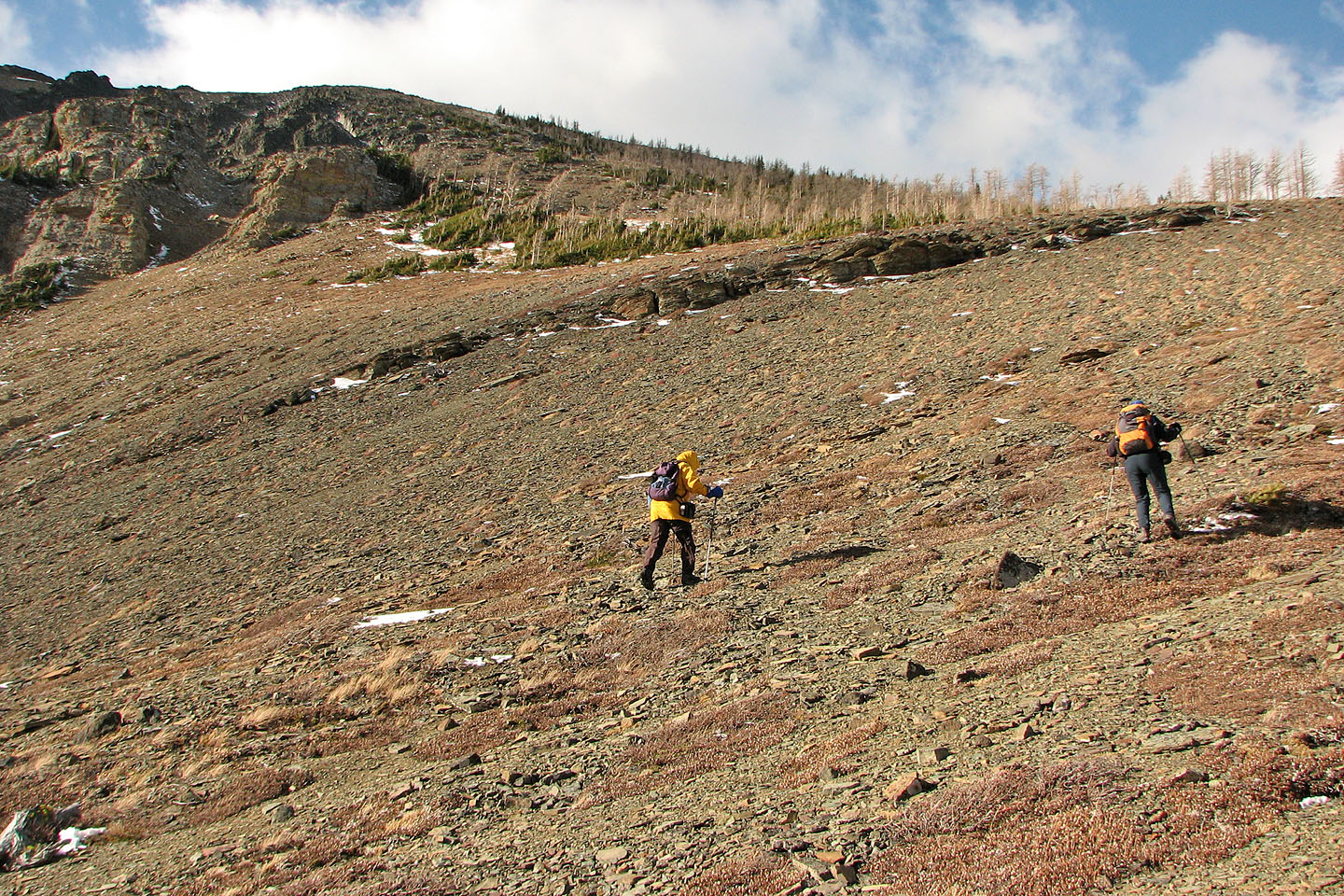
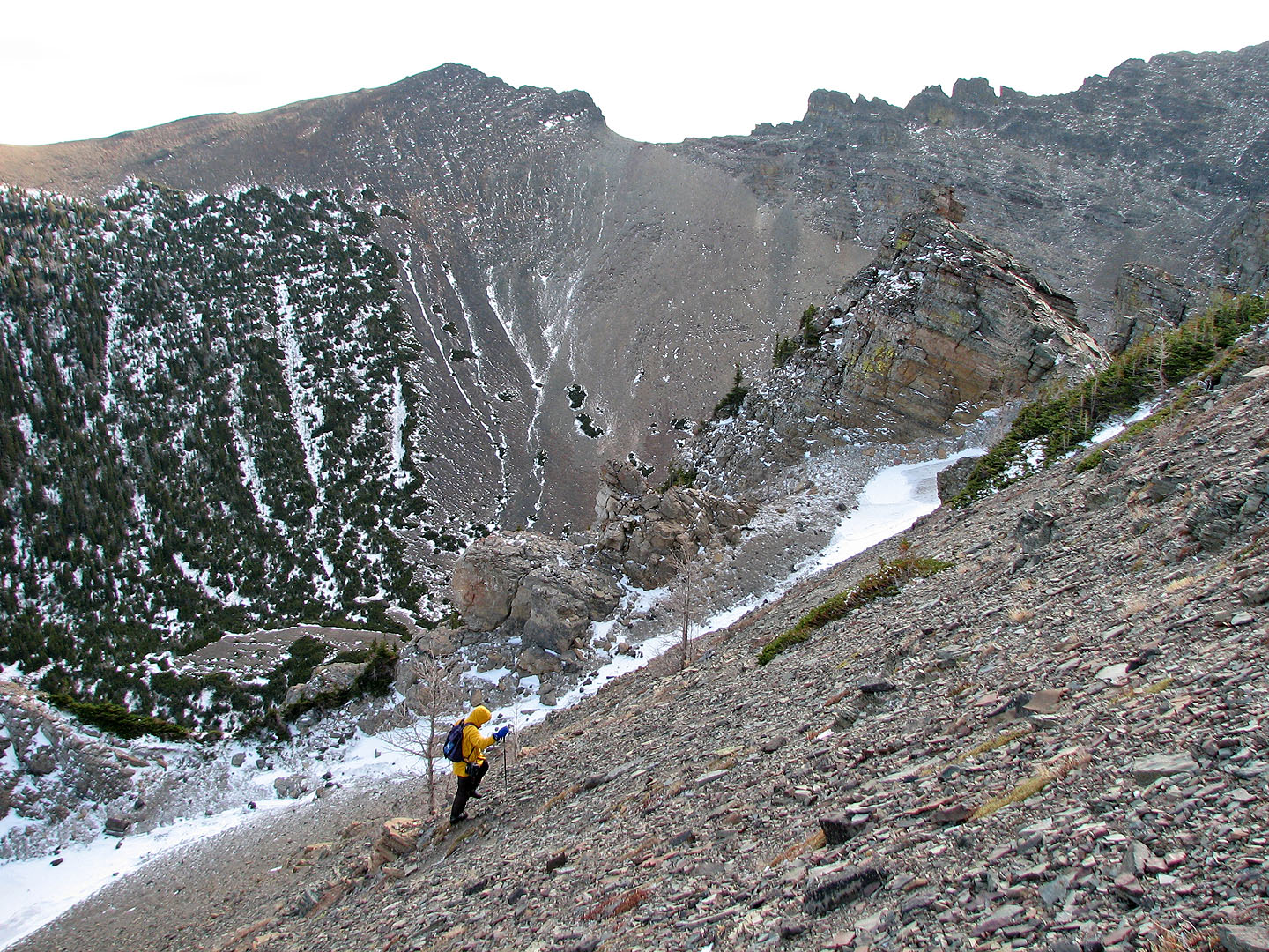
Starting up the east slope
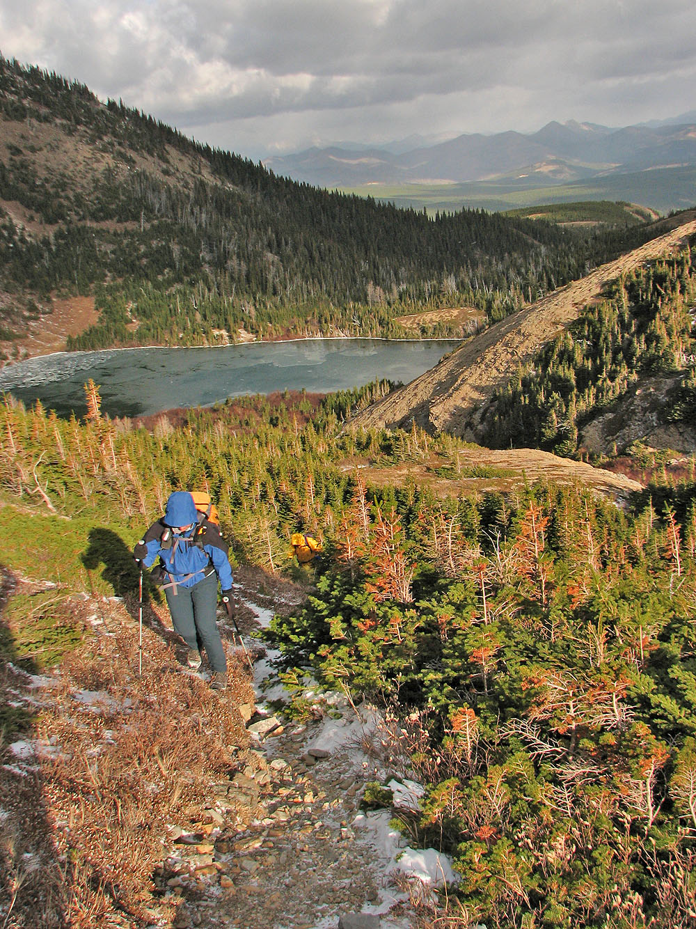
Looking down at Southfork Lakes
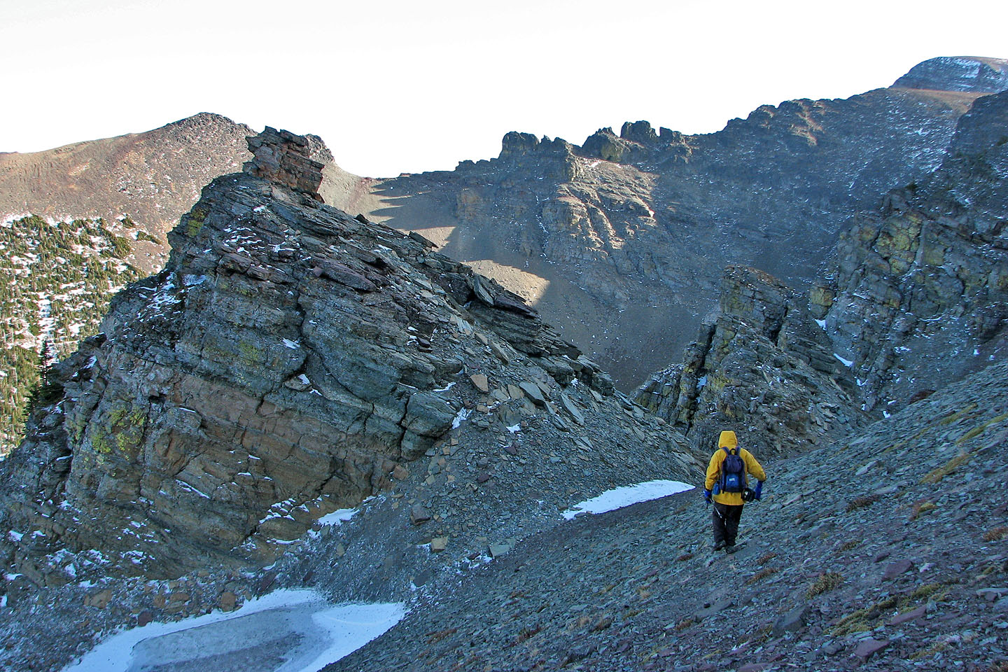
We passed a rock prominence that we climbed on the descent
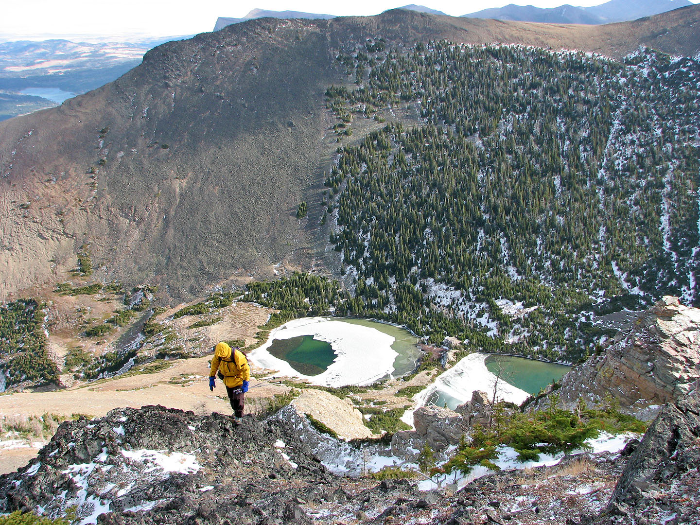
Well above the lakes now
View to the northeast
On the ridge
On the summit of Southfork
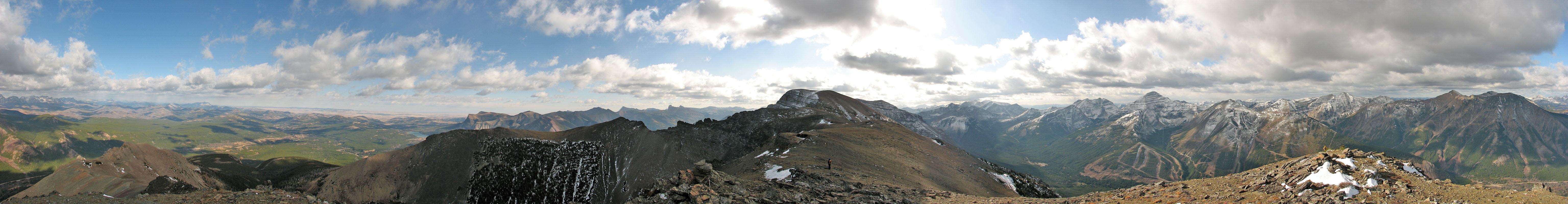
View from Southfork Summit
Heading to the high point (left on the skyline)
Mount Haig and Gravenstafel Ridge
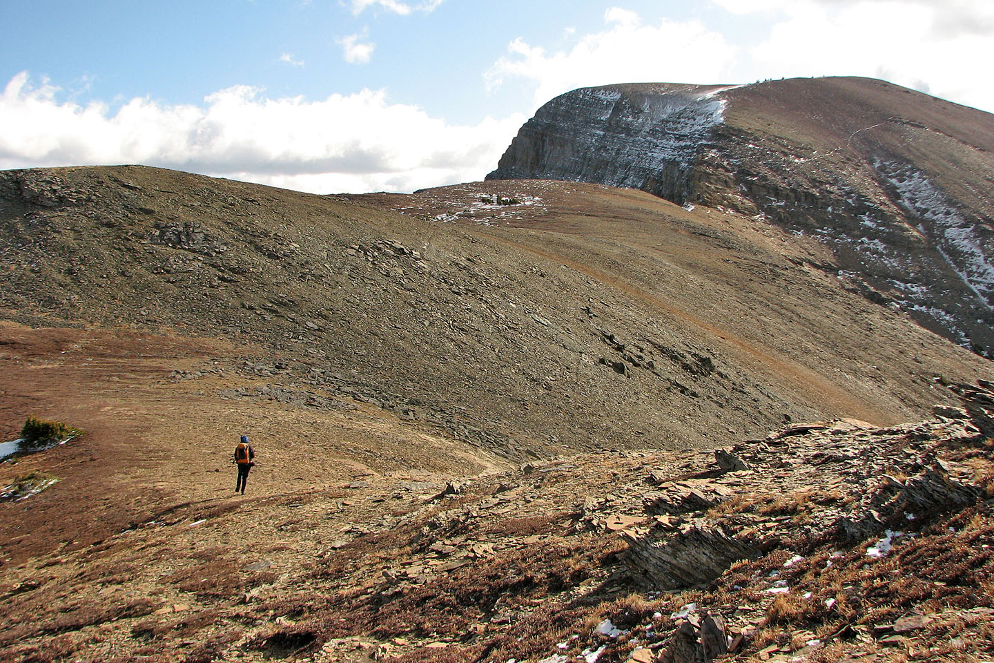
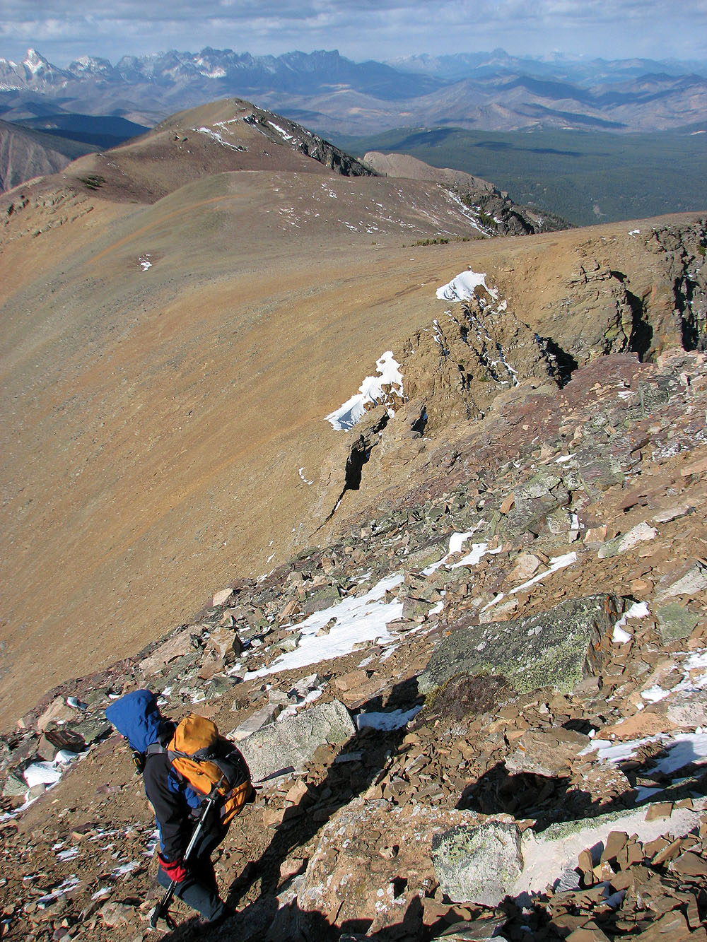
The traverse to Barndoor Peak was mostly a hike
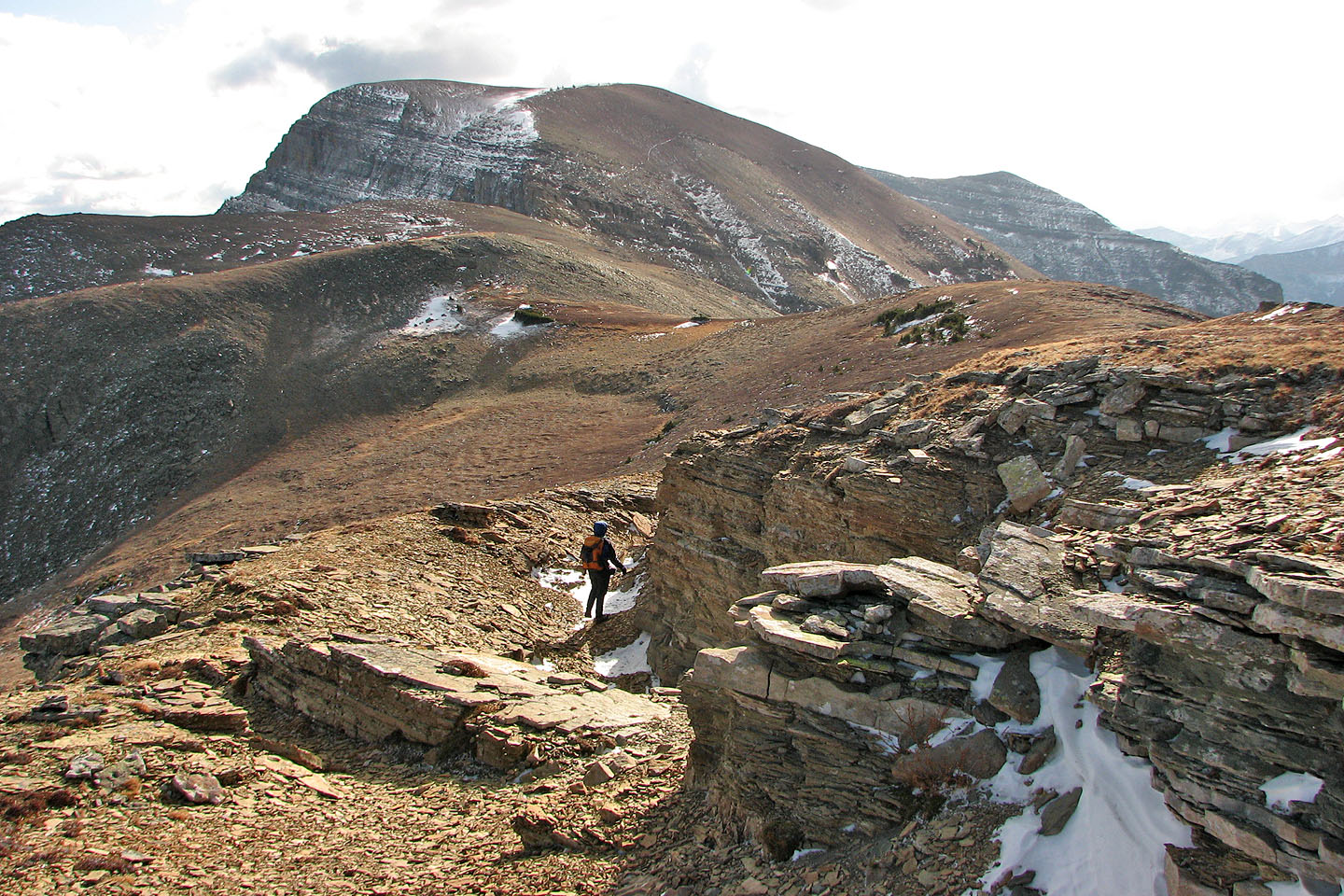
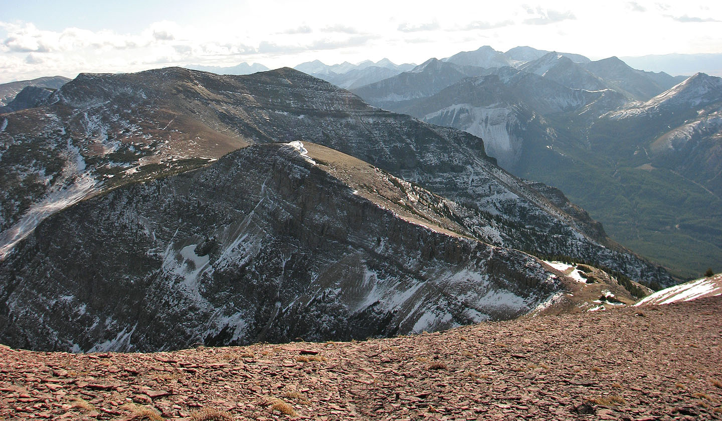
Looking back at Southfork Mountain
We reached the base of the high point
Easy scrambling ahead
Dinah makes her way up the rocks
The broad slope below the summit
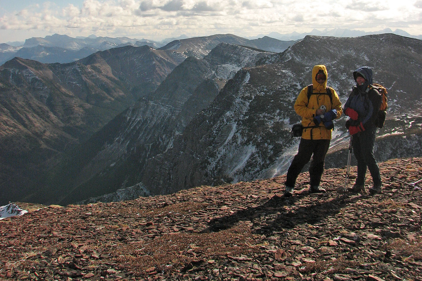
Sonny and Dinah on Barndoor Peak
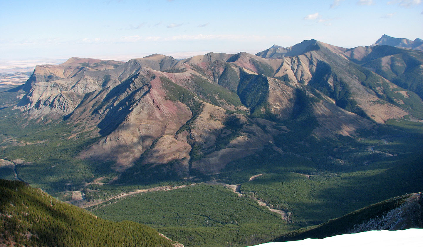
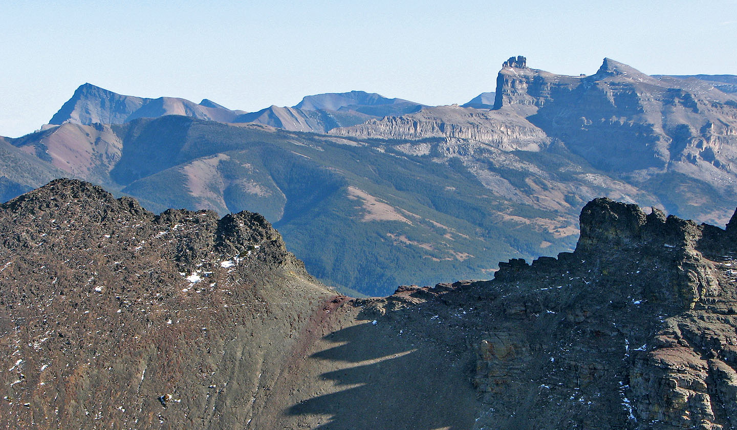
Table Mountain, left, and
Whistler Lookout, foreground
The summit of Barnaby Ridge
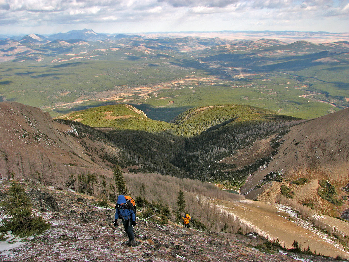
Heading back to Southfork Mountain
Victoria Peak and
North Castle (left). Castle Peak and Windsor Mountain (right)
Sonny and I headed to the rock prominence above the lakes that we climbed (mouse over)
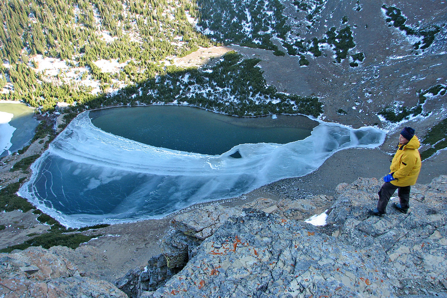
Looking down at the third Southfork Lake
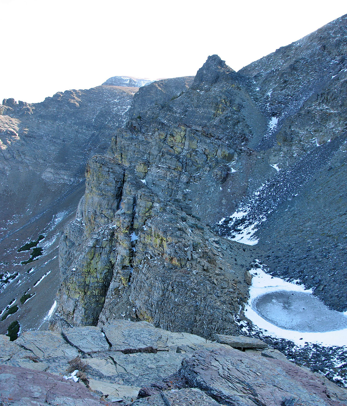
Some impressive cliffs and a frozen tarn
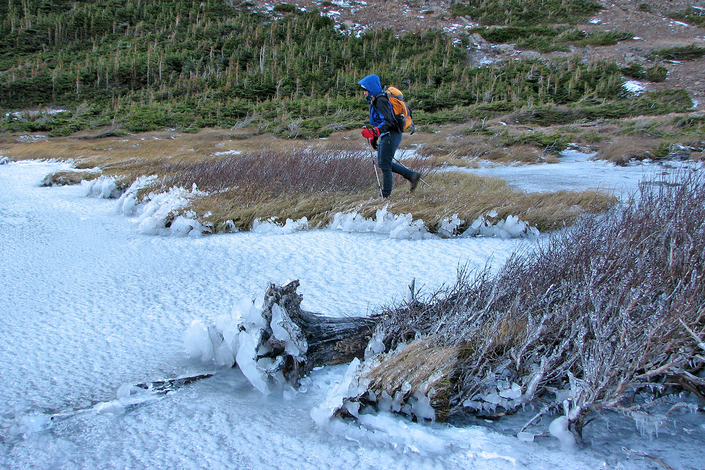
Back at the second lake
Sonny photographs ice-encrusted vegetation
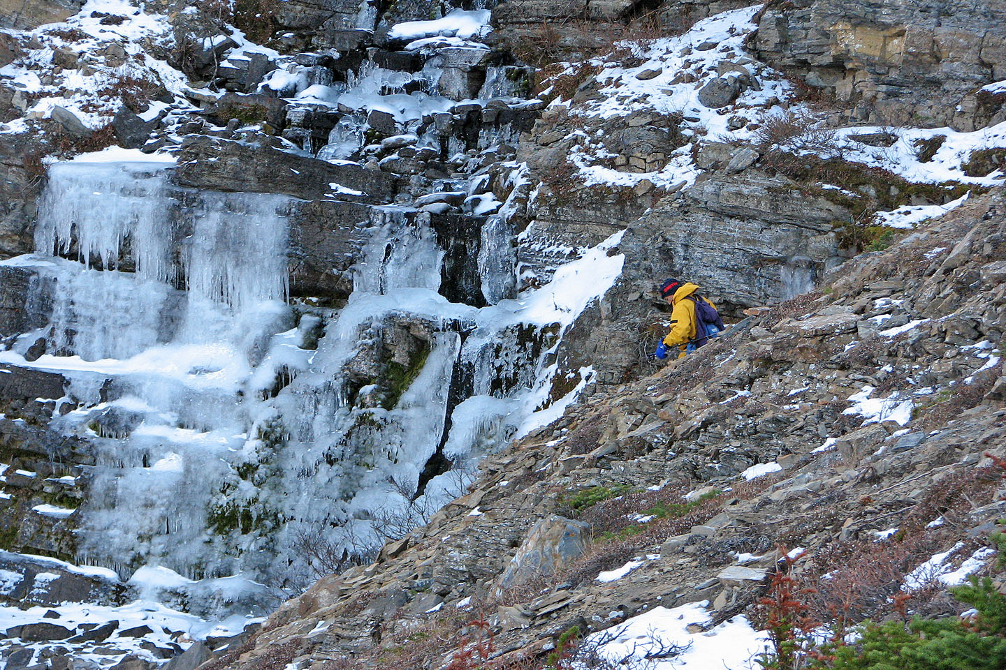
The ice falls below the second lake
82 G/8 Beaver Mines