bobspirko.ca | Home | Canada Trips | US Trips | Hiking | Snowshoeing | MAP | About
McLean Hill
Kananaskis, Alberta
July 5, 2012
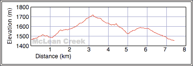
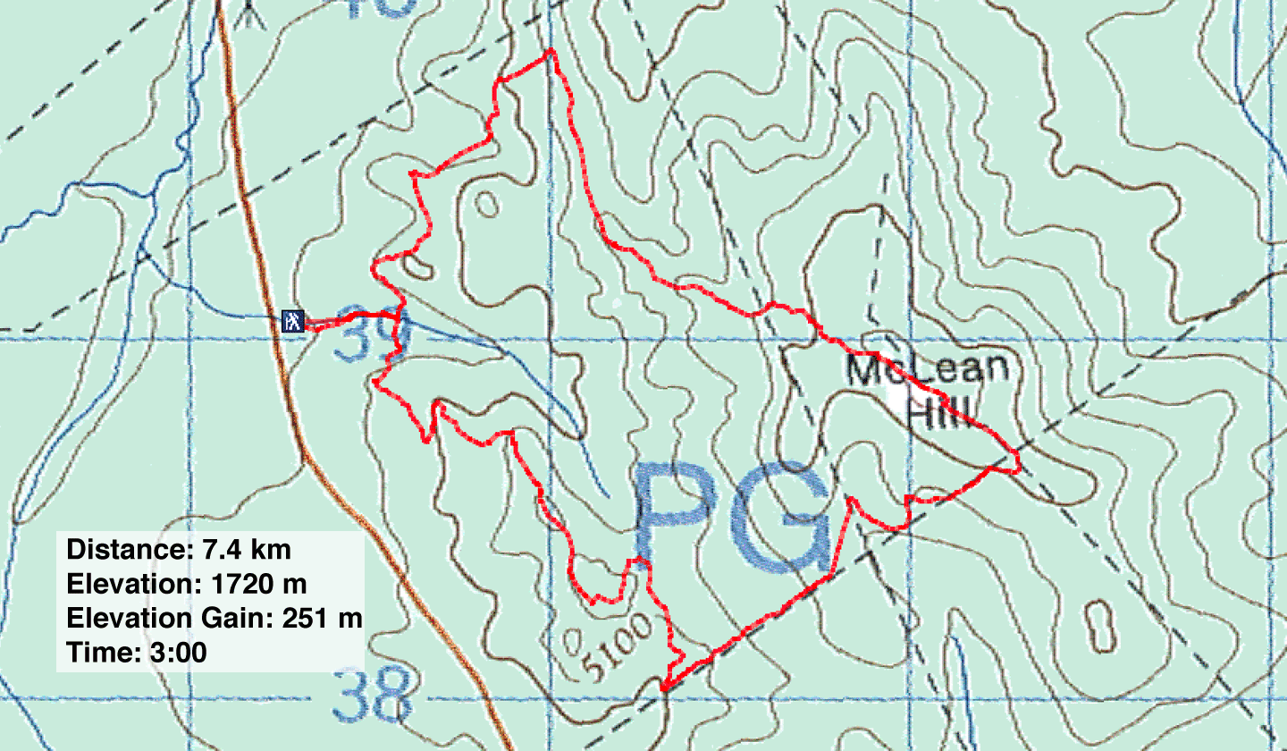
Distance: 7.4 km (4.6 mi)
Cumulative Elevation Gain: 271 m (889 ft)
Taking advantage of some free time on a summer afternoon, I settled on a short hike up McLean Hill. I thought it would take two hours, but it took longer than I expected, maybe because I often had to check the guidebook to ensure I took the right turn at the numerous junctions. Or maybe the ups and downs slowed me down. My net elevation gain of 251 m was lower the book's 320 m, although my gain was in keeping with the contour lines on the map. But the undulating trail more than made up for the difference; in total elevation gain, my GPS showed nearly double the climbing effort: 497 m.
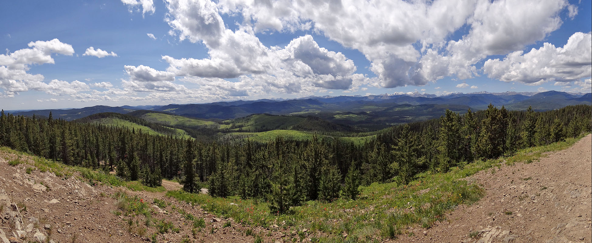
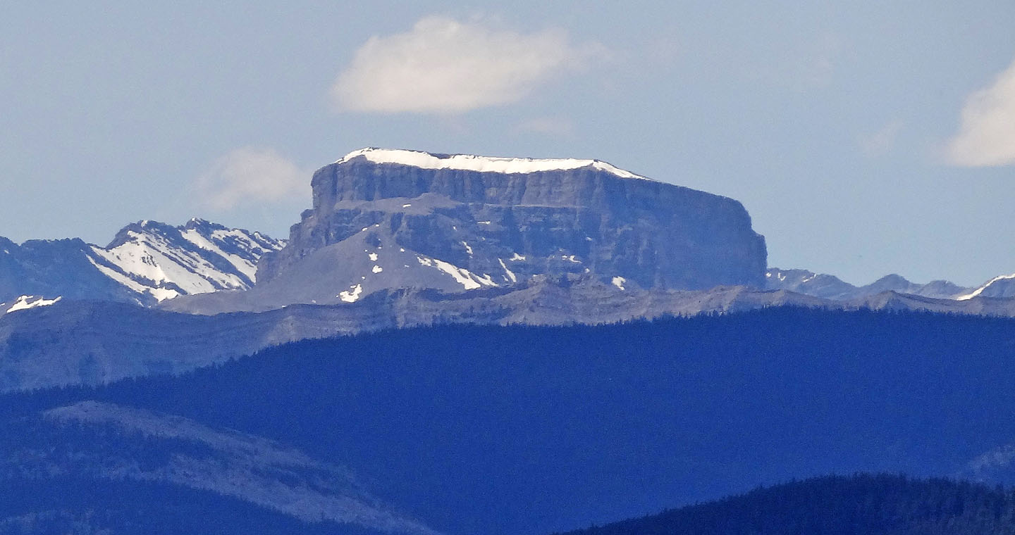
Combining routes 1A and 1B from the book, I made a small, clockwise loop that included the summit. Travel was pleasant enough save for a dearth of clearings in the trees and a few persistent mud holes from last month's deluge. Only on the summit did I find expansive views to the west, but they took in recognizable mountains such as Banded Peak and Mount Romulus.
On another positive note, I had the entire hill to myself. I didn't share the path with anyone (unless you count moose) and the forest silence wasn't broken by dirt bikes, even though this is an OHV area. I'd like to visit McLean Hill again, when the ground is frozen and blanketed with snow and I will be assured of solitude.
Postscript: In November 2019, Gillean wrote to tell me of changes to McLean Hill:
We checked out the trails a few days ago, and there are now panoramic views for a good half of the way up Horizon East trail and views from Horizon Trail South on the final section of the small loop. I don’t think the motorbikers will be using the trails for some time as the trail has disappeared in some cutblocks and there is deadfall which probably won’t be removed until they reclaim the logging roads and put the trails to rights. I imagine some stretches of logging roads that overlay the trails will become the new trails. In cutblocks are pink flagging and marker trees cut 10 ft. off from the ground on either side of the “trail.”
So, just in case you haven’t been back yet, I am sending you our track in red superimposed on the Google Earth view of the cutblocks. New to us was the summit memorial to Fern and W.C, Hill with miniature CN rail cars glued onto the cross. Amazing!
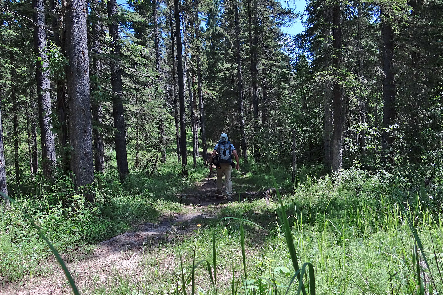
Starting up the trail
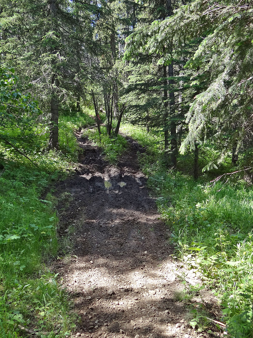
I encountered several muddy sections
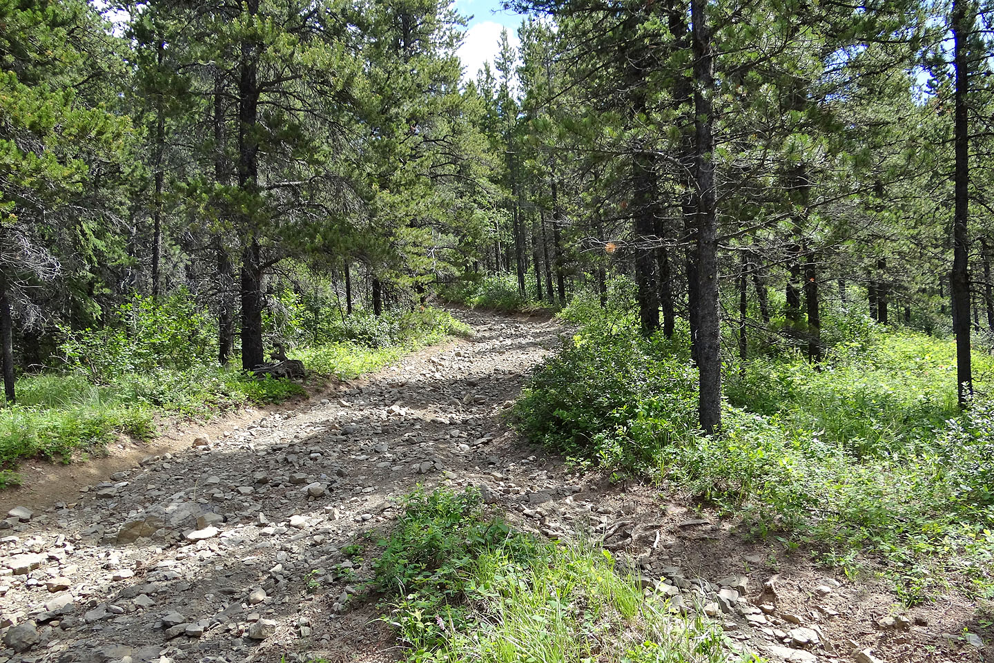
One of several junctions
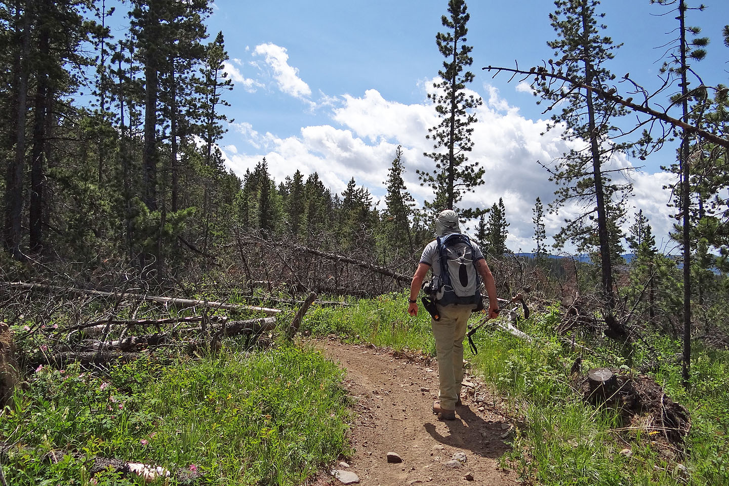
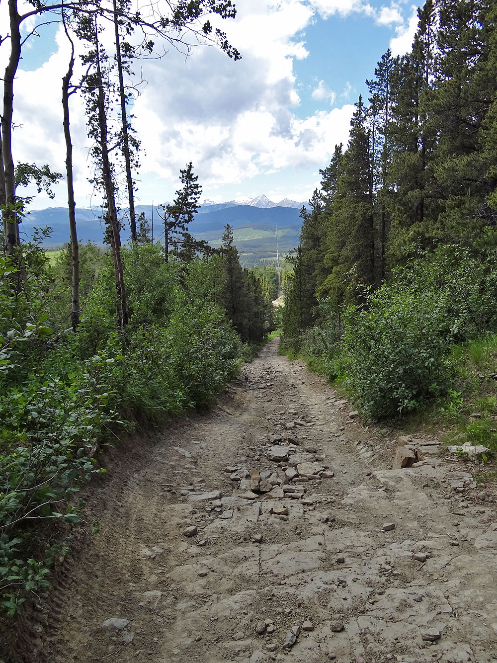
The trail rarely opened up
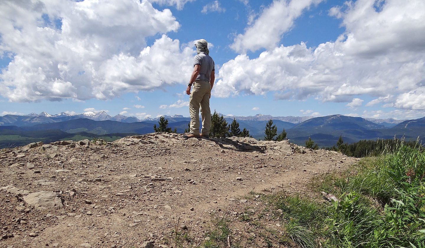
A road runs over the summit
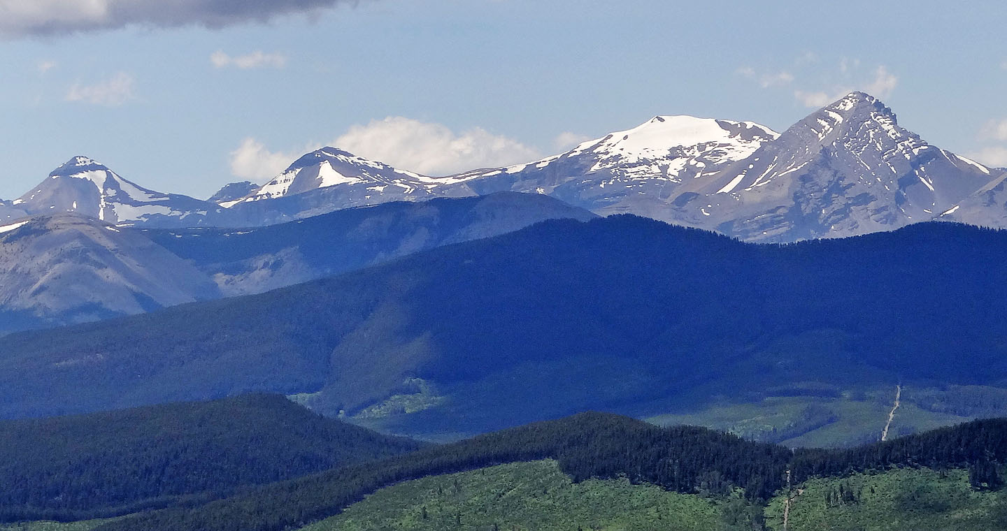
Banded Peak, Outlaw Peak, Mount Cornwall and Mount Glasgow
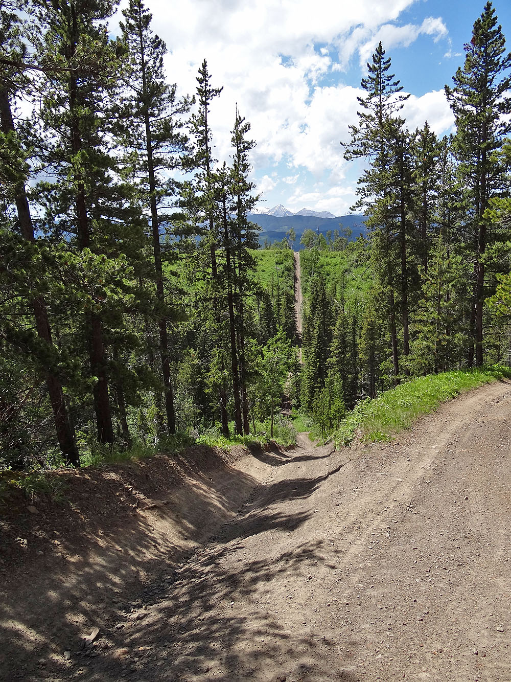
On the return route, the Priddis East Trail drops down a cutline
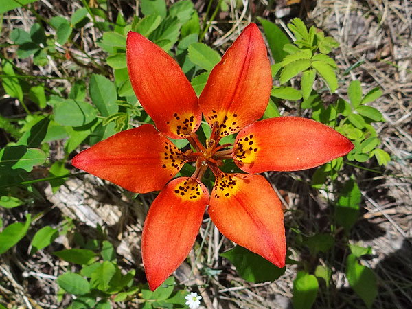
Western Wood Lily
Mercifully, a road circumvents this big drop in the cutline
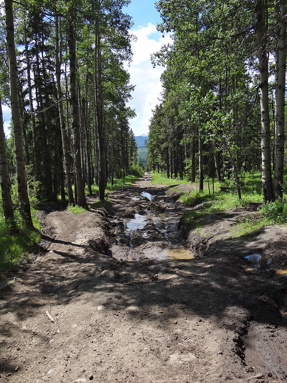
Huge muddy section
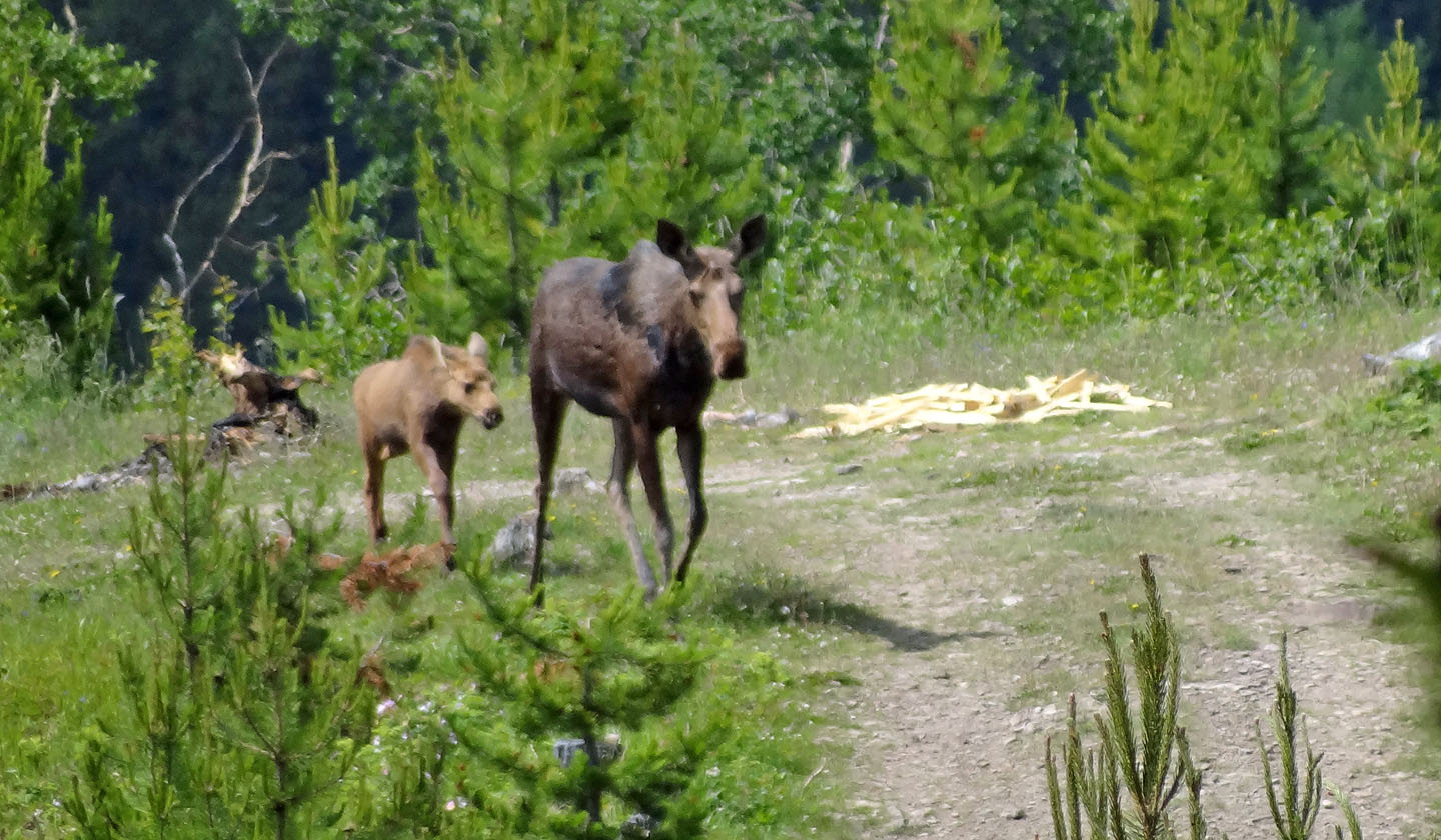
Where the trail intersects another parking lot, I noticed moose ambling towards me
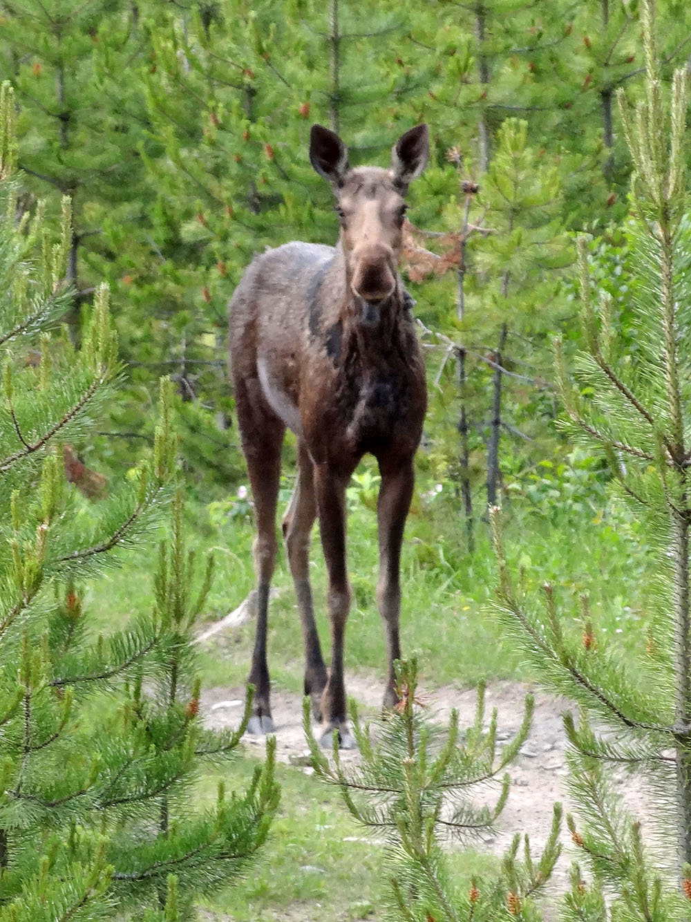
The cow (female moose) stops to check me out
82 J/15 Bragg Creek