bobspirko.ca | Home | Canada Trips | US Trips | Hiking | Snowshoeing | MAP | About
Mount Cornwall
Kananaskis, Alberta
June 27, 2009
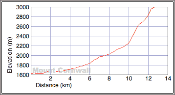
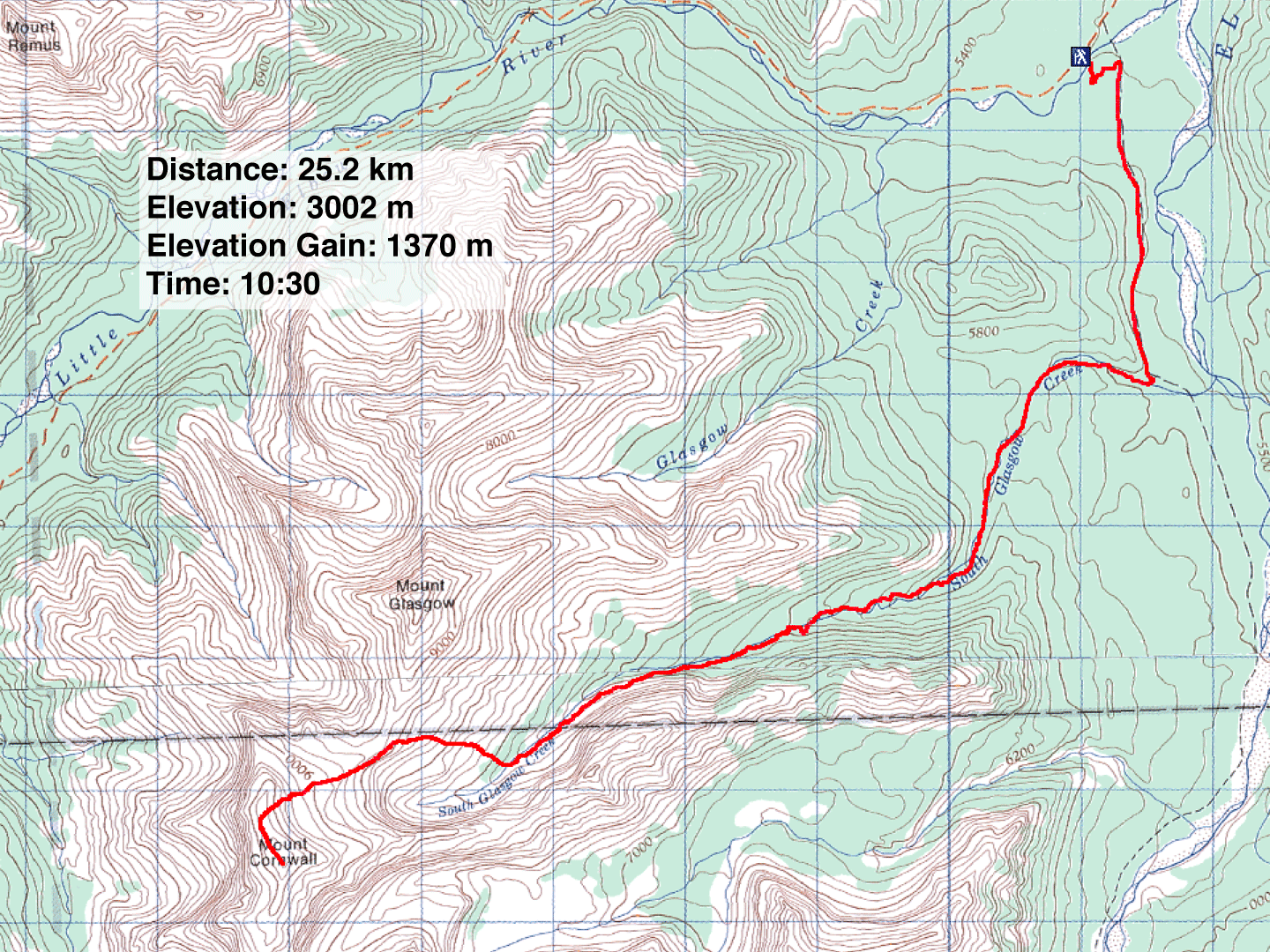
Distance: 25.2 km (15.7 mi)
Cumulative Elevation Gain: 1380 m (4495 ft)
Having bagged Banded Peak, Outlaw Peak and Mount Glasgow, Mount Cornwall remained the last of the quartet of peaks for Dinah and I to climb in this area. We used the South Glasgow Creek approach: hike 3 km up Big Elbow Trail to the creek and follow it to the scree slope below the Cornwall-Glasgow col. Finish with a slog to the col and a hike along the north ridge of Cornwall.
After starting up the Big Elbow trail, we missed seeing a small cairn that indicates a shortcut to the South Glasgow Creek (we followed the shortcut out). We left the trail when we could see the broad, stony creekbed through the trees. After the creek bends left, we found the trail that climbs up the left bank. Cairns at important points eased our passage. Although the creek seemed excessively long, highlights along the way, such as waterfalls and gorge views, helped distract from the monotony of hiking along the creek.
The trail, ranging from faint to non-existent, led us to the gorge. Beyond that, there was no trail. We followed the creek and slogged up a scree slope to the Cornwall-Glasgow col. After attaining the ridge we soon found ourselves standing on top of Mount Cornwall.
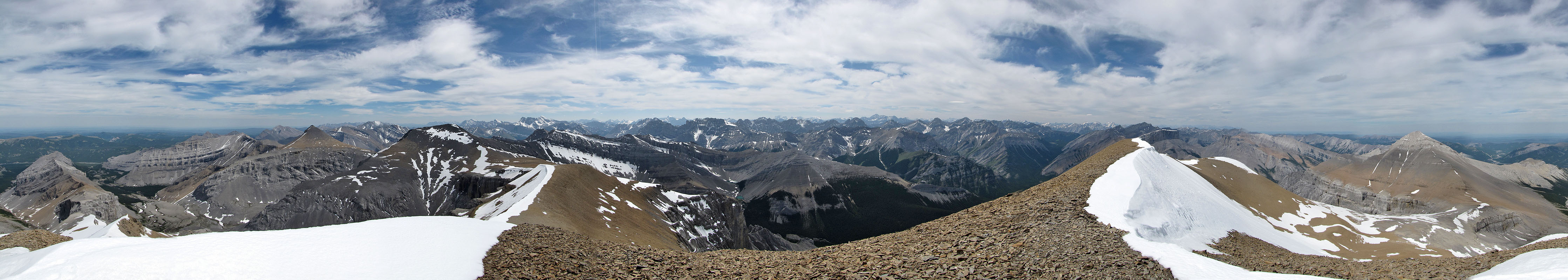
The views were more spectacular than I expected, probably since it was both a clear day and Cornwall is the highest of the quartet.
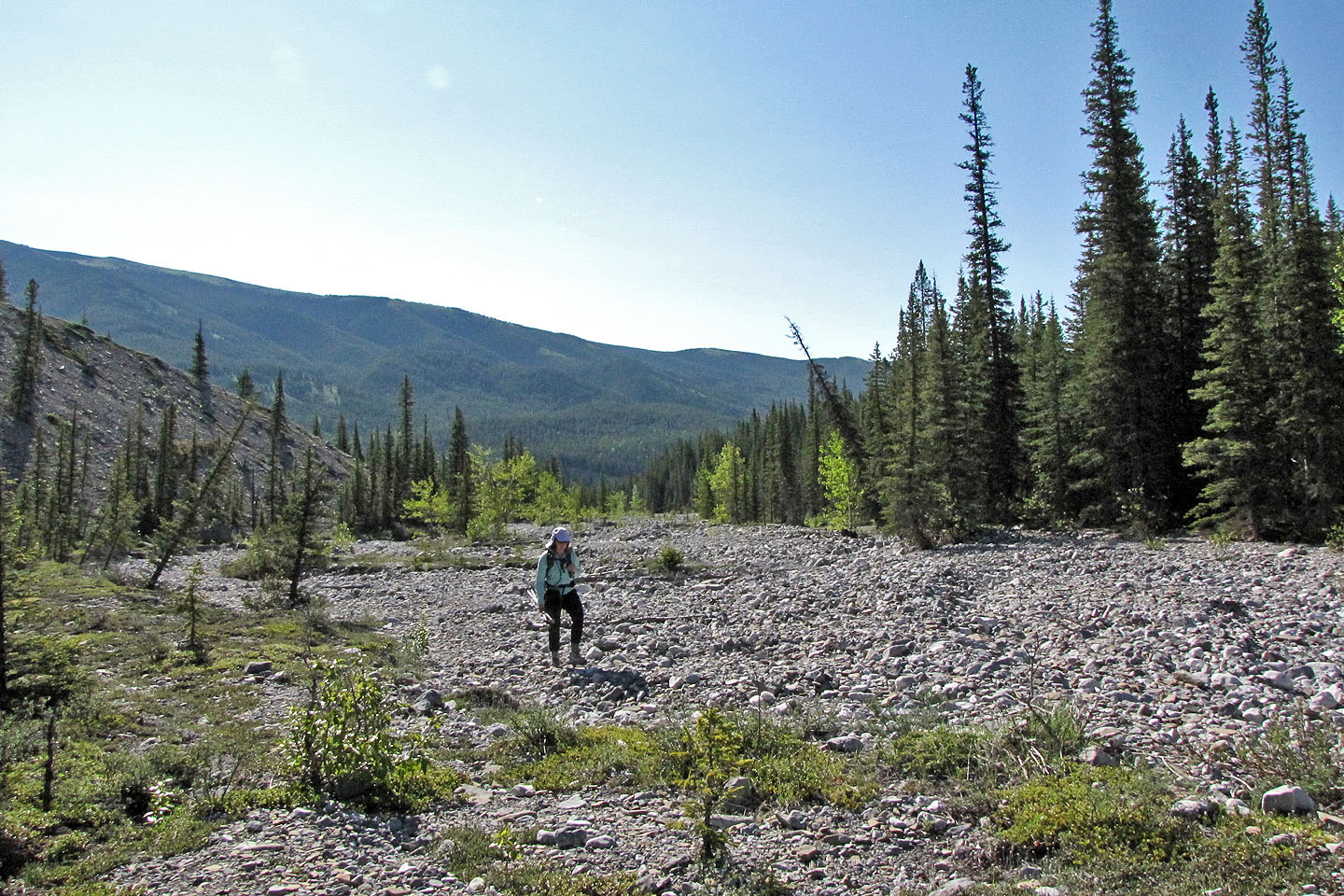
After leaving Big Elbow trail, we start hiking up the broad creekbed
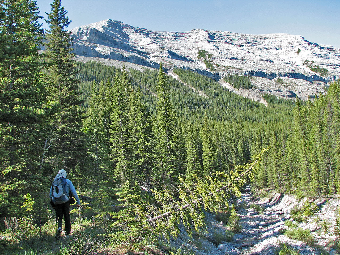
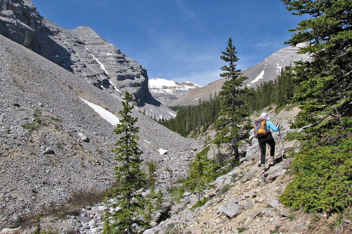
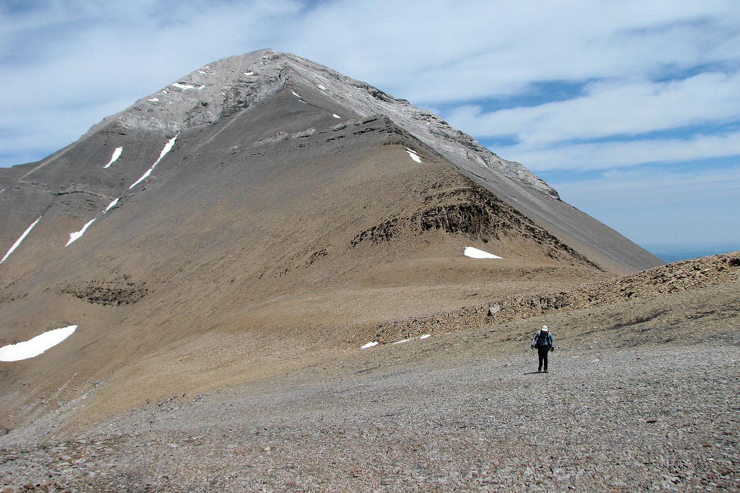
After rounding a bend, the west ridge of Mount Cornwall appeared
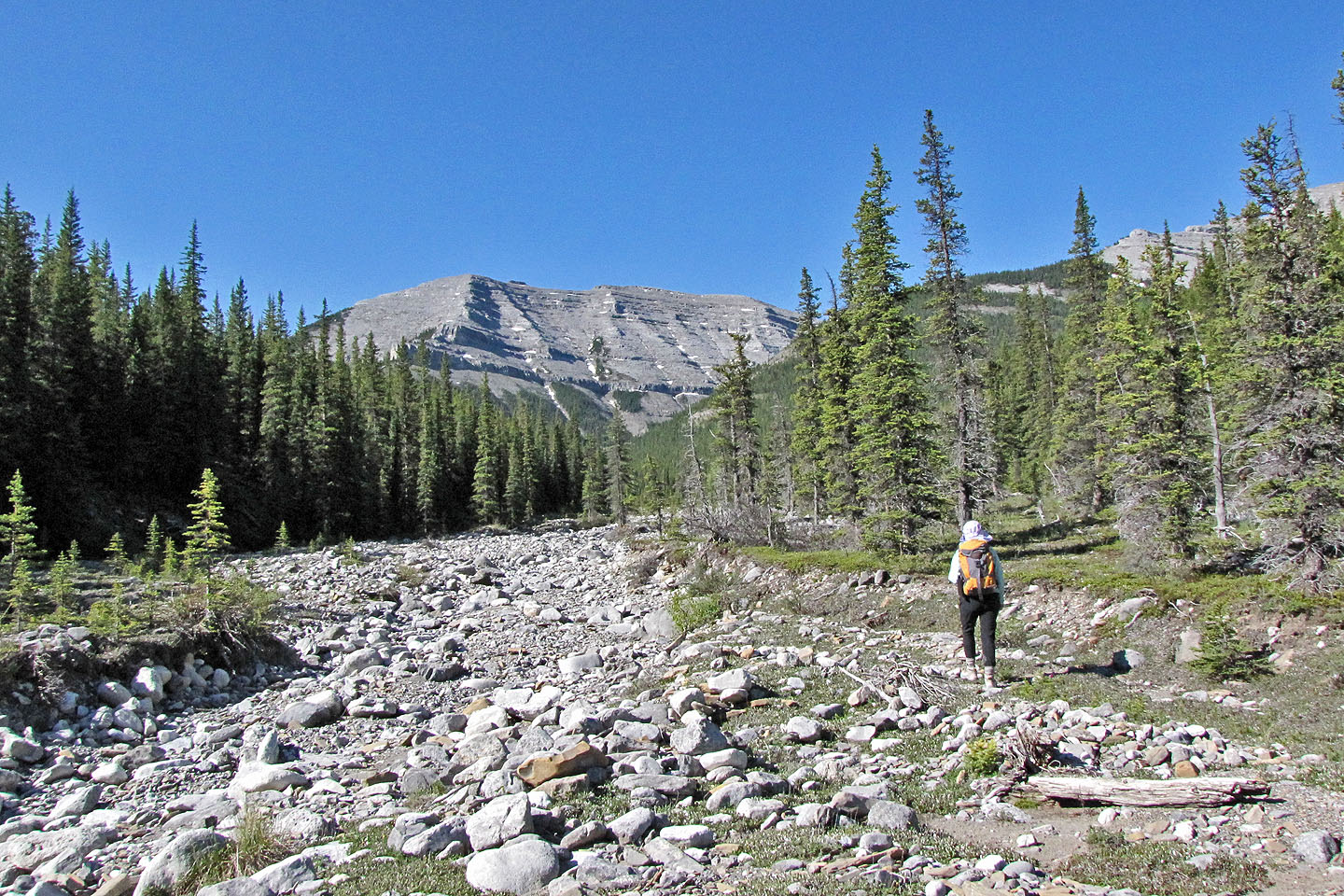
We followed a faint trail above the creek
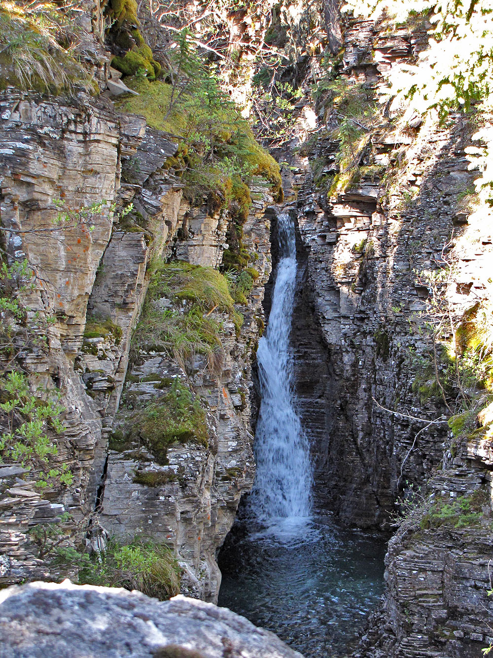
First waterfall
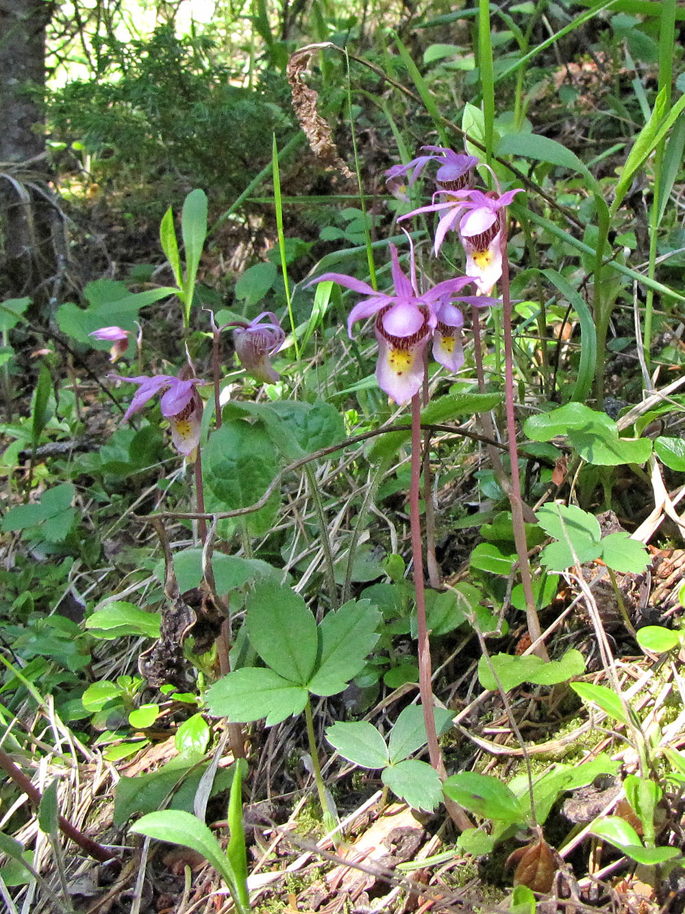
Calypso orchids
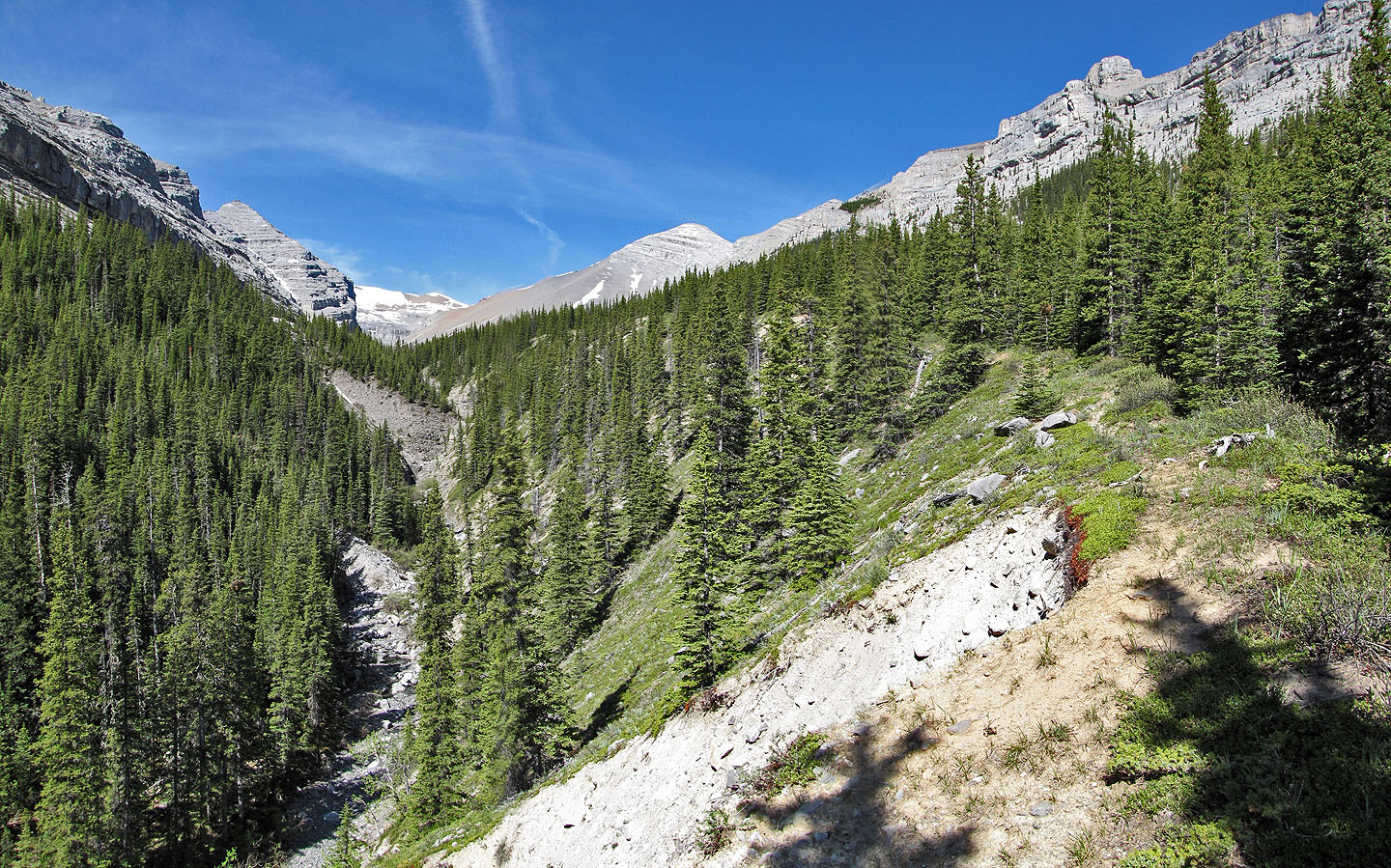
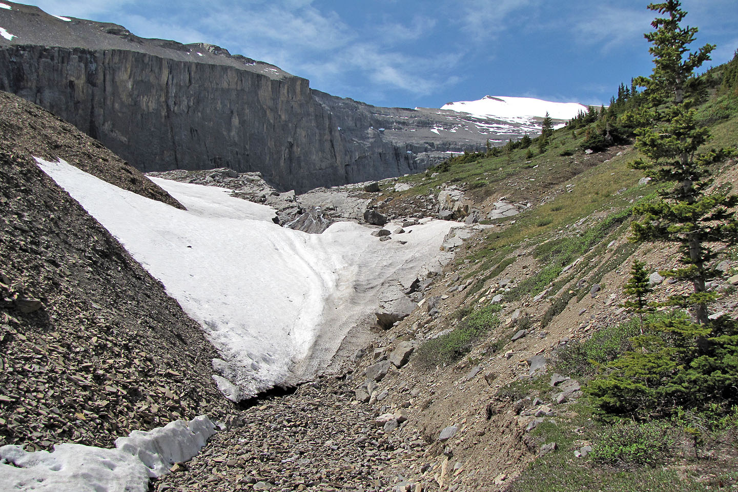
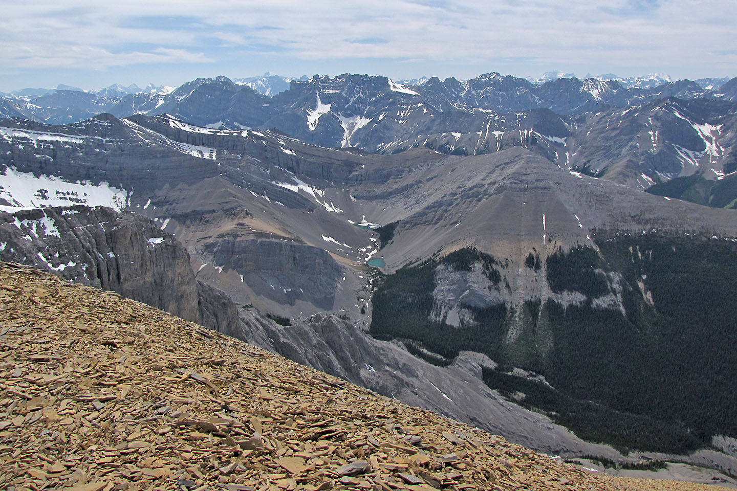
Snow-covered Cornwall is visible from the gorge
Continuing up the gorge
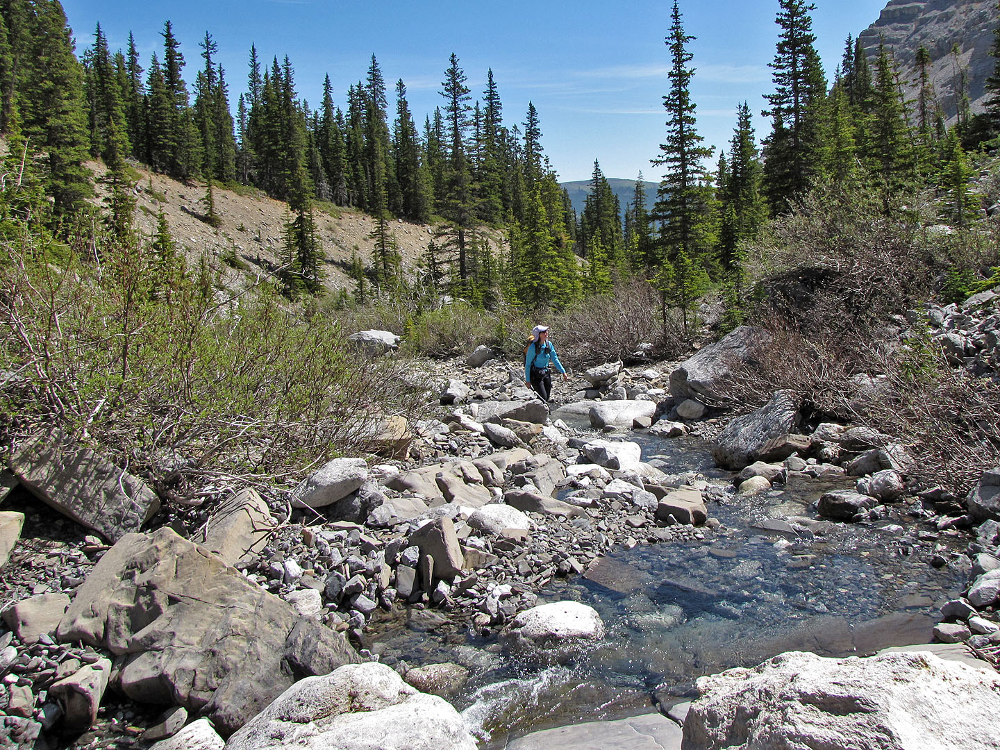
After dropping back down to the creek, we noticed the water was crystal clear
Mount Cornwall still appears far away
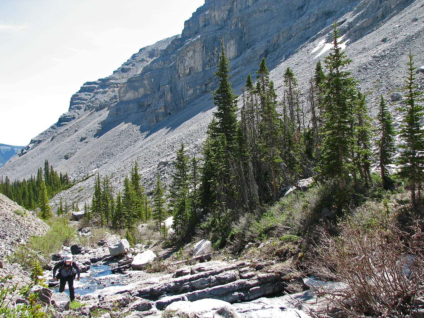
Cliffs line the creek on our left
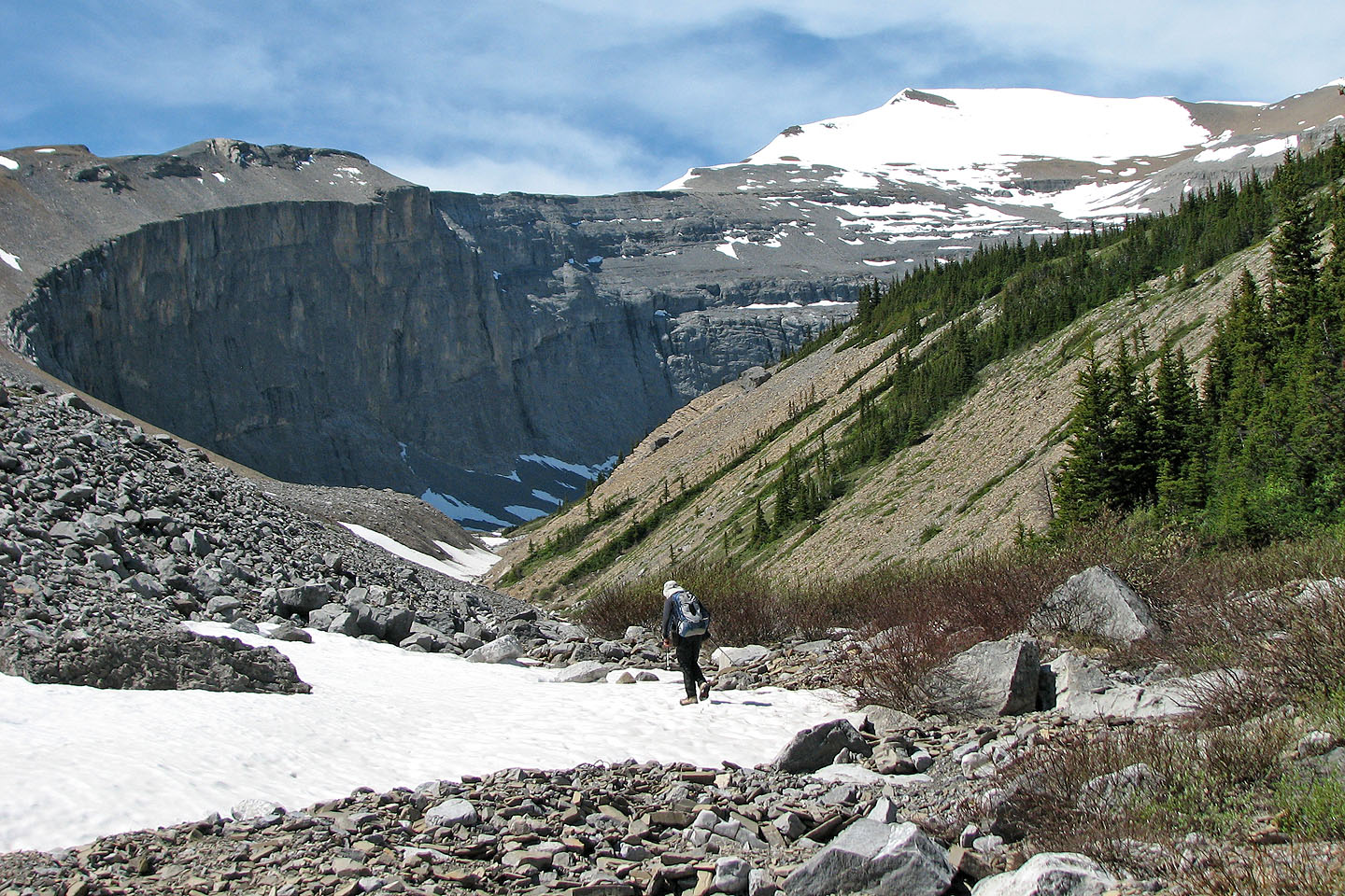
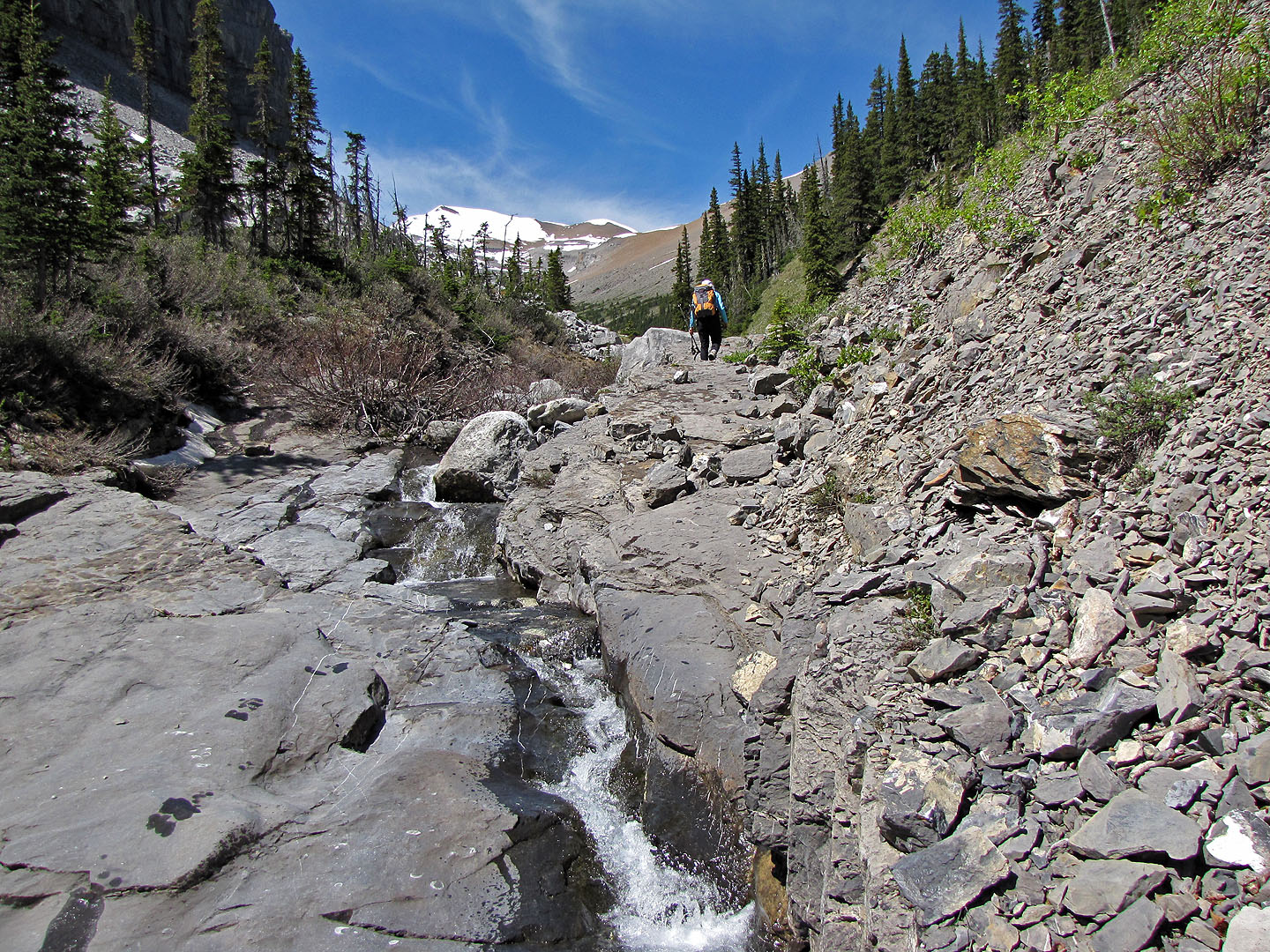
After the bend, we'll find a waterfall running over slabs
We'll start up the grassy slopes ahead
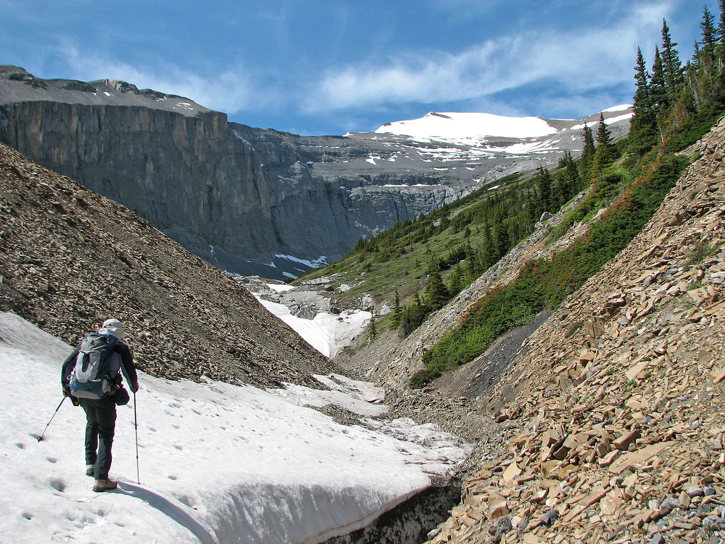
The waterfall was under snow, but this is where we left the creek
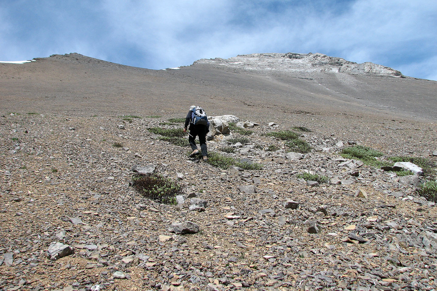
 Starting up the slope
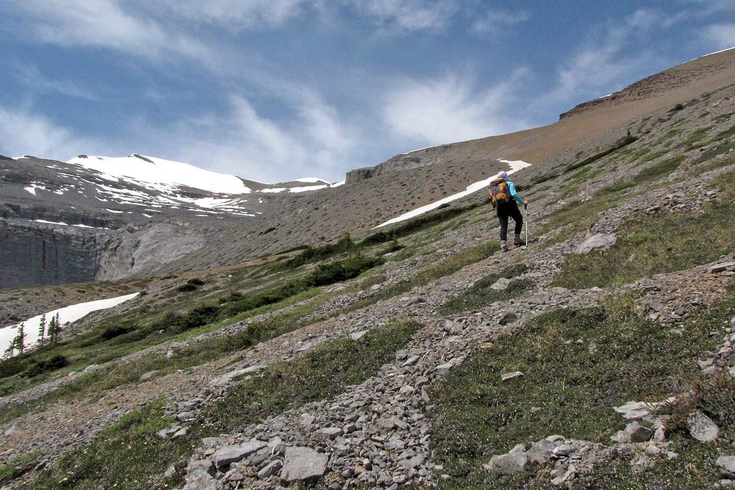
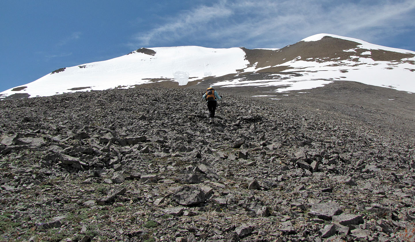
Hiking up the scree slope
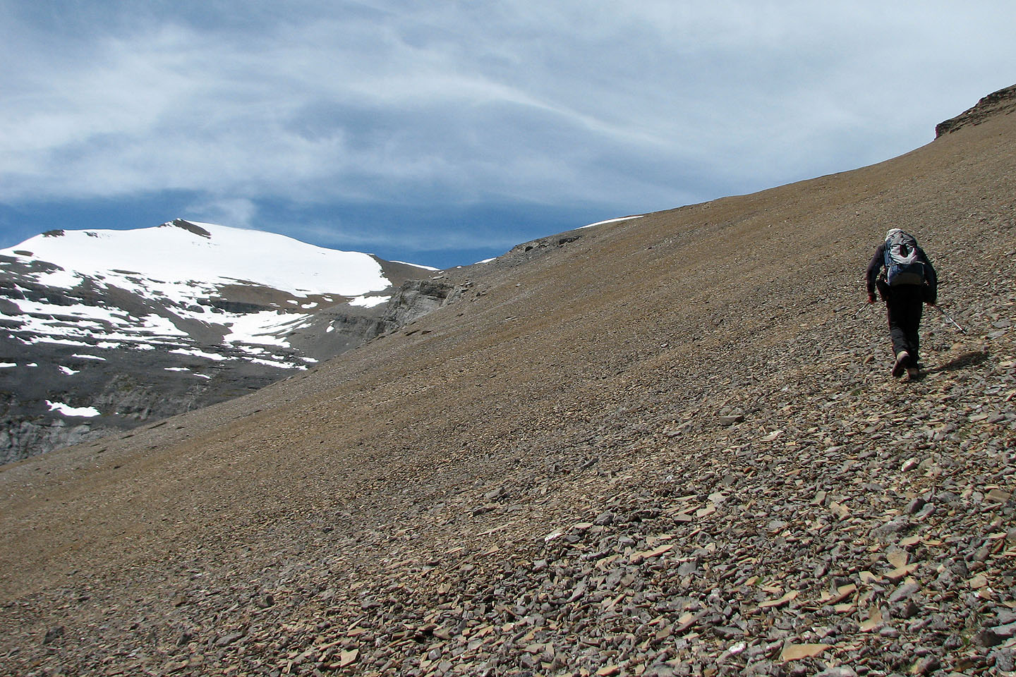
We headed to the col above the scree
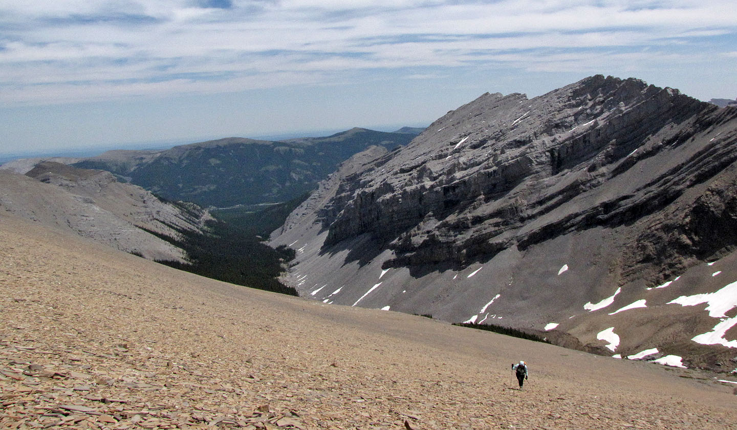 Looking back across an impressively vast scree
slope
Looking back across an impressively vast scree
slope
On the col
Mount Glasgow fills the background
We headed to the dry slopes of Cornwall. The summit is far left.
Looking back at South Glasgow Creek
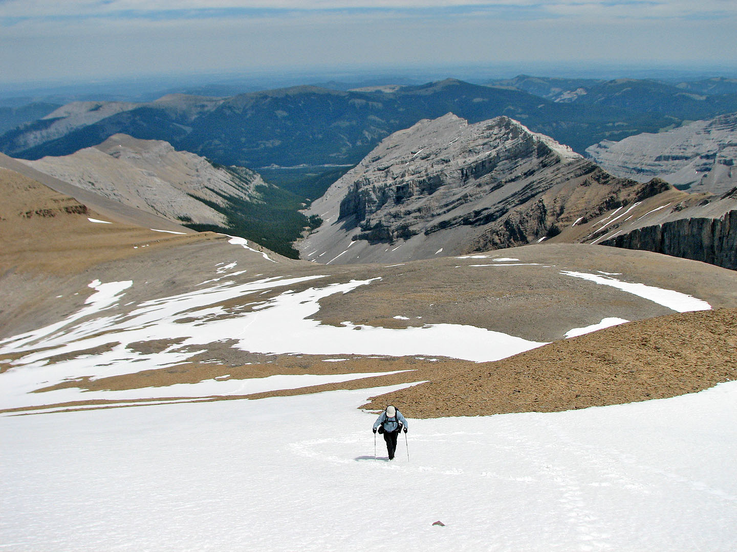
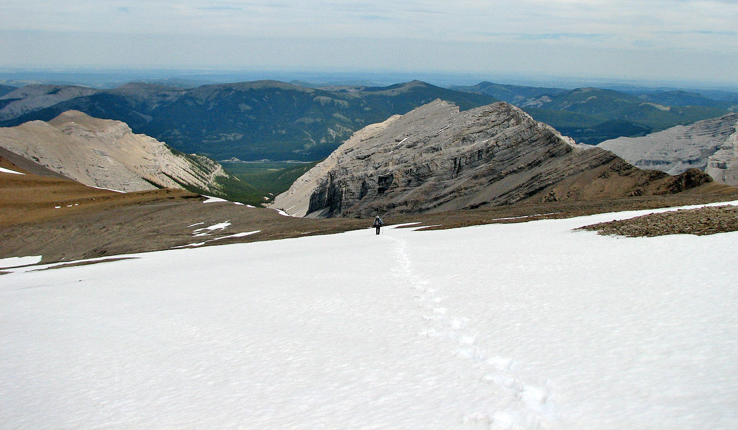
The snow was easier to ascend than the scree
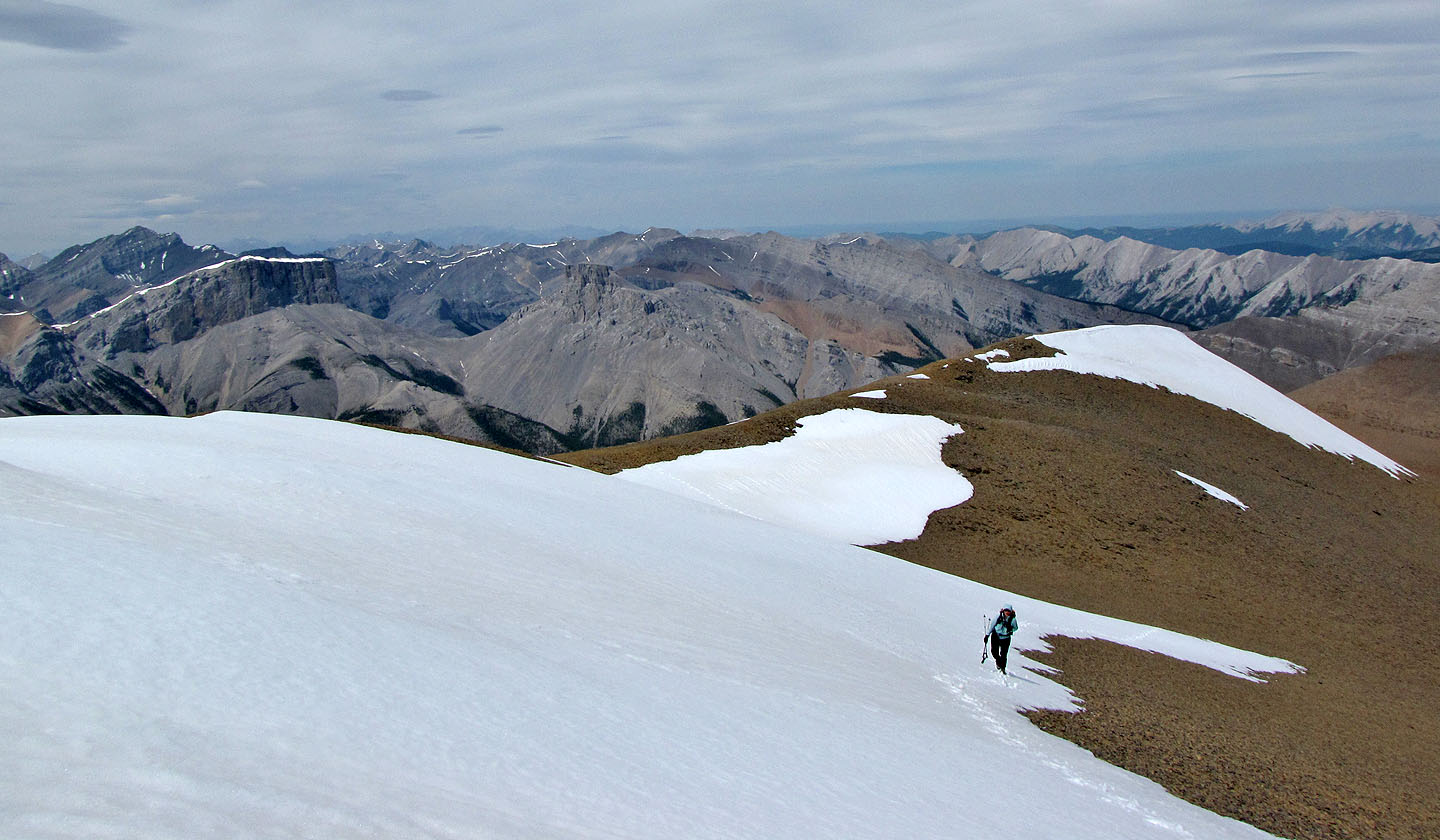
View to the southwest includes two beautiful tarns (mouse over for a closer look)
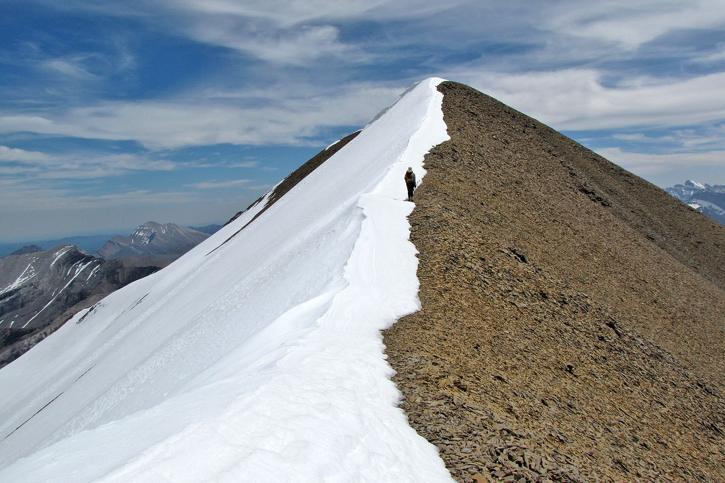
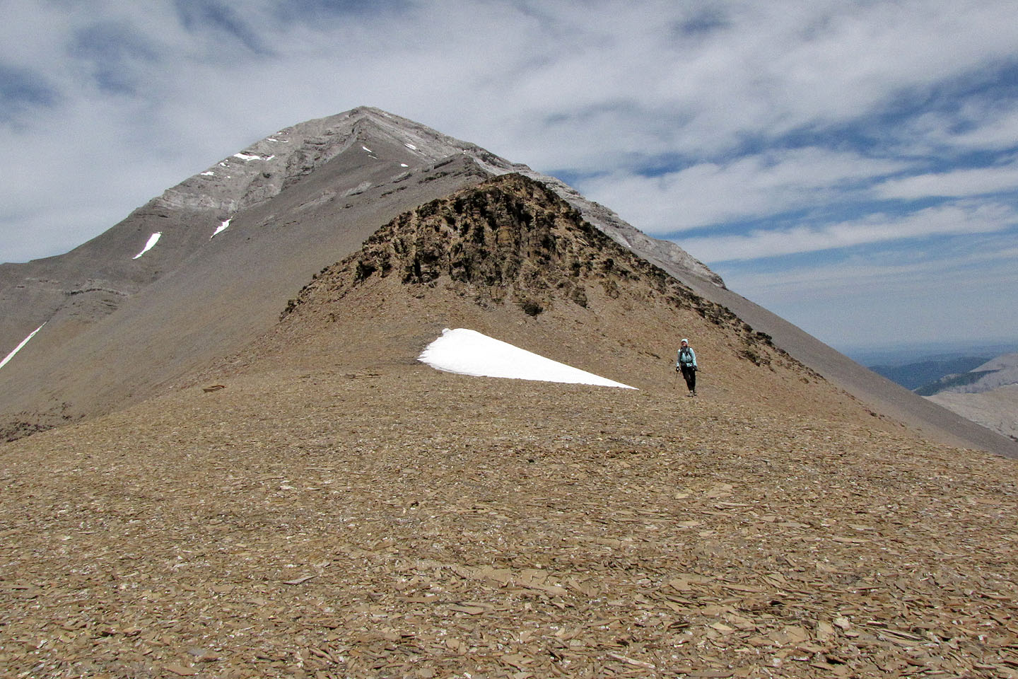
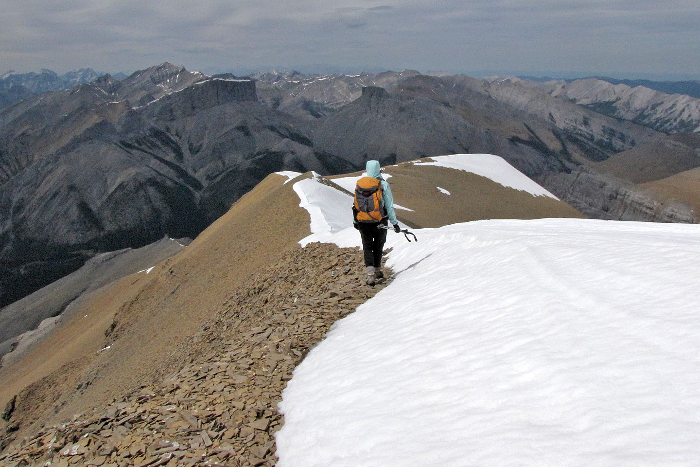
Hiking along the ridge
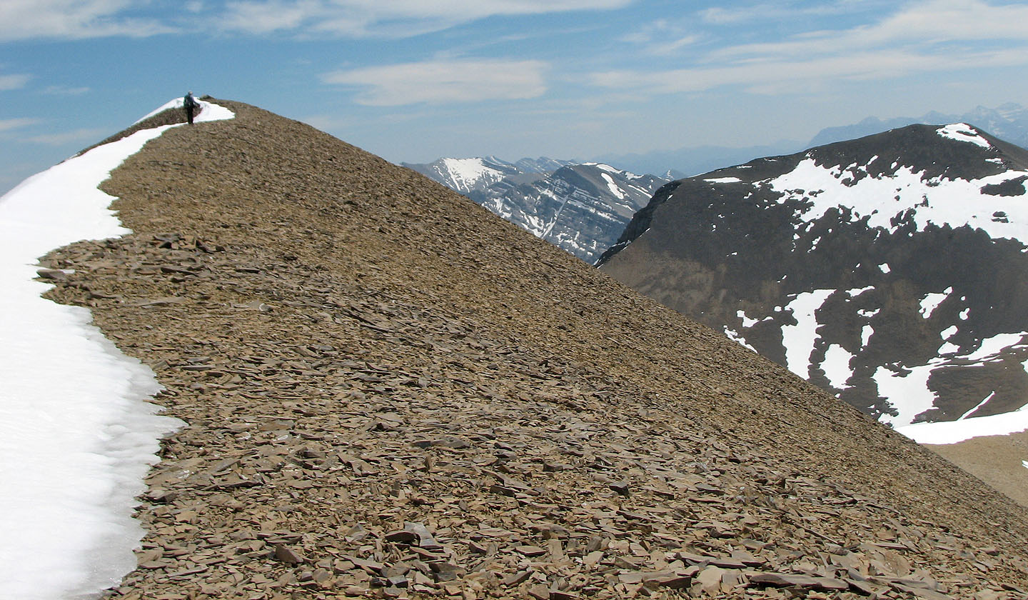
Approaching the summit
On the summit
Heading back down
82 J/15 Bragg Creek, 82 J/10 Mount Rae