bobspirko.ca | Home | Canada Trips | US Trips | Hiking | Snowshoeing | MAP | About

Backbone Ridge
Kananaskis, Alberta
September 3, 2026
Distance: 10.1 km (6.3 mi)
Cumulative Elevation Gain: 805 m (2641 ft)
When I saw this unnamed ridge on Google Earth, it reminded me of a backbone. Six bumps line its spine, and six ribs run down the west slope. Mostly tree-covered, the ridge is likely overlooked. We saw no sign of anyone having been there recently, not in the past 60 years.
Despite the trees, Backbone Ridge is a delightful trip. A short hike up Lineham Trail reaches the south end of the ridge. Travel is easy on the ridge, along animal trails, long corridors and rocky sections with scenic viewpoints along the way.
We didn’t know that when we started out. Brian, Doug, Bob and I parked at Lineham trailhead and hiked 900 m up the trail to flagging I had placed earlier on a reconnaissance. We were soon hiking up a slope through meadows and sparse trees. As we ascended, the ridge became clearly defined. We stuck close to the ridgetop, occasionally deviating to follow animal trails or take advantage of meadows.
On our way to the first bump, we took a break on an outcrop and surveyed the Elk Range across the Kananaskis Valley. On Bump 1, we stopped to enjoy the view from a meadow. This was the smallest bump, and we only descended a few metres before going up Bump 2. There, Doug said he wanted to take it easy and didn’t care if he didn’t reach the summit. He told us to go ahead, and we would catch him on the way back. So Brian, Bob and I continued on.
After losing 50 m, we hiked up Bump 3. There we discovered a broken 7 Up bottle. It was produced by an Edmonton company that ceased operations in the early 1960s. Someone had been here over 60 years ago.
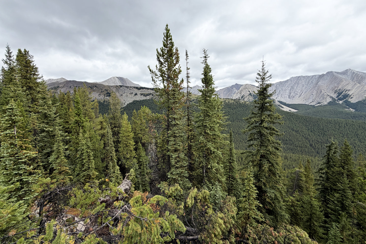
We continued to Bump 4, again losing considerable elevation. However, the descents before Bumps 5 and 6 were minor. Each bump along the ridge was progressively higher, so when we reached Bump 6, we reached the summit. The small clearing at the top offered a view to the northwest, where we saw Odlum Ridge, Mist Mountain, and other peaks.
After lunch, and after building a cairn, we headed back along the ridge. On Bump 4, we found a strange construction of branches and logs. Doug had been here. Continuing down, we found more signs of Doug’s creativity, including several cairns. We caught up to Doug on the tailbone of Backbone Ridge, and together, we returned to the parking lot.
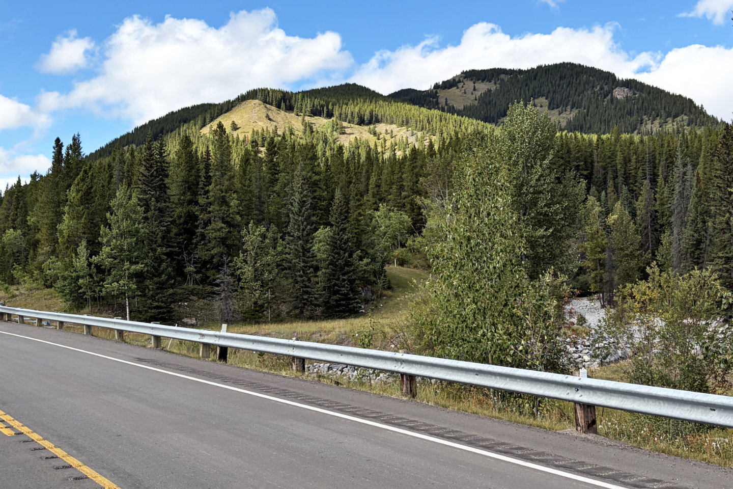 Upper right is the south end of Backbone Ridge. The outcrop
we stopped at is visible on the right.
Upper right is the south end of Backbone Ridge. The outcrop
we stopped at is visible on the right.
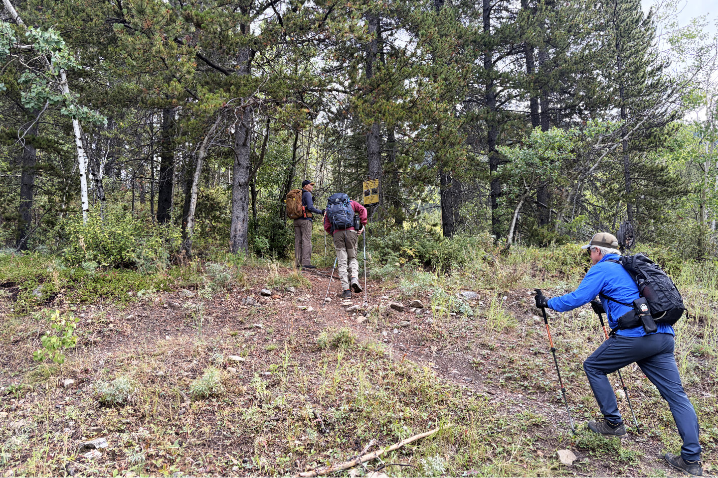 Starting up the trail
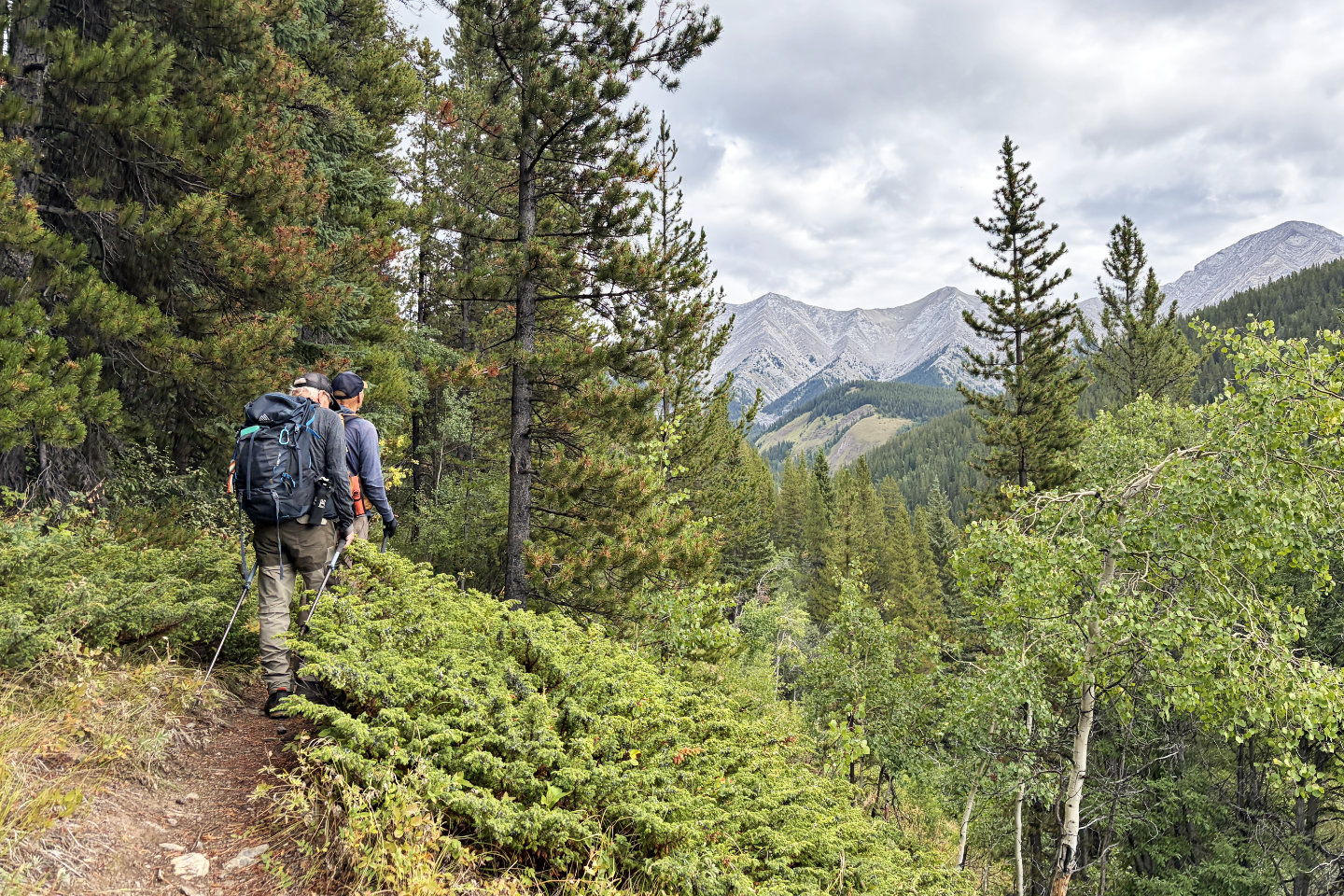 Lineham Twin Peaks came into view
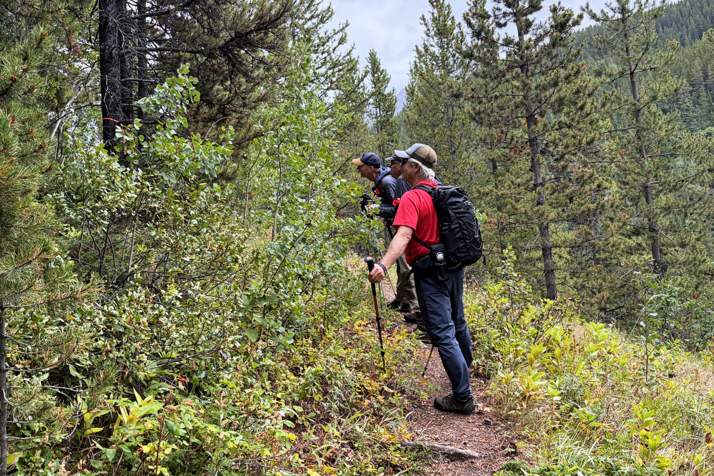 After hiking 900 m, we left the trail at the
flagging
After hiking 900 m, we left the trail at the
flagging
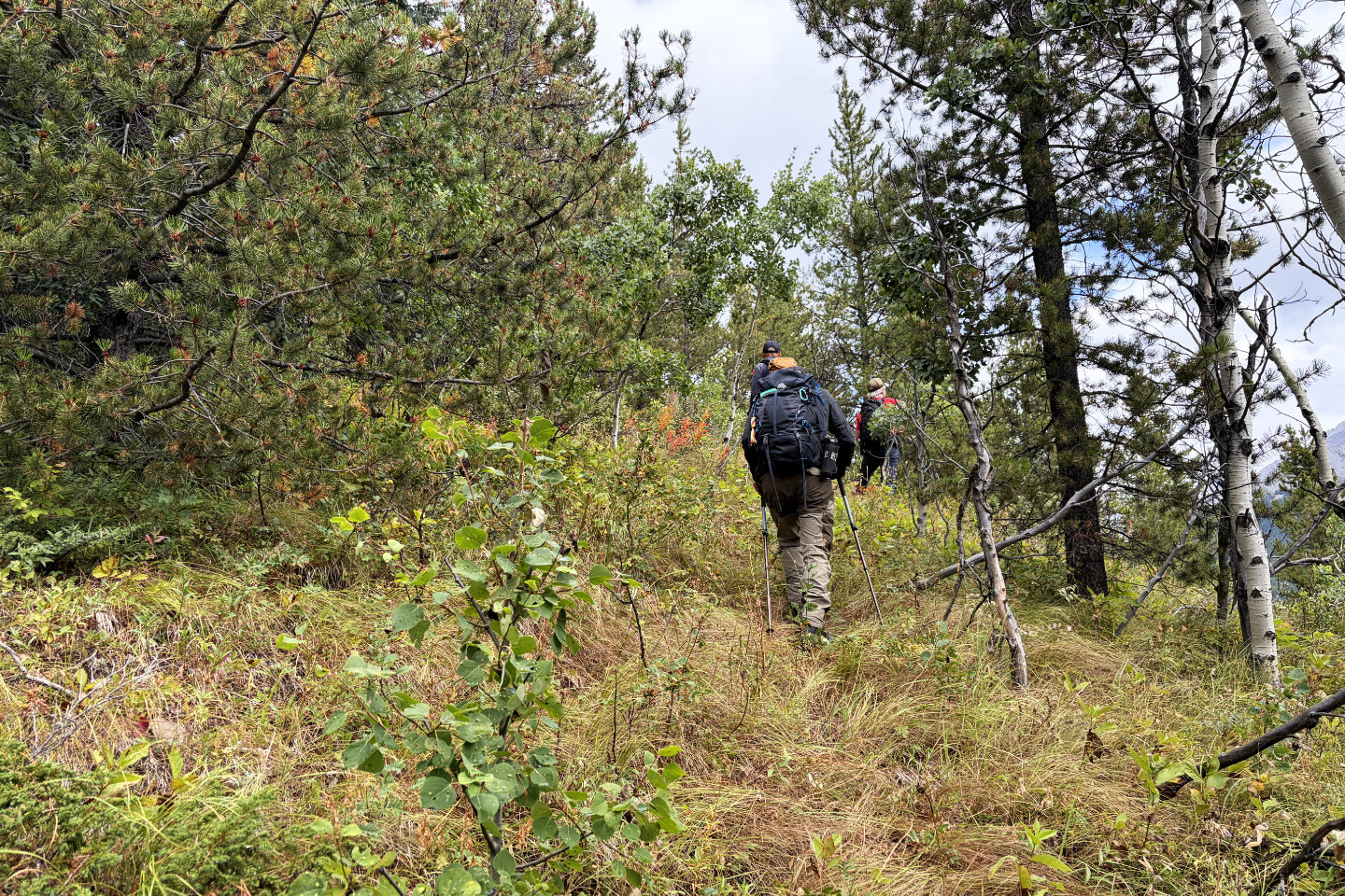 The trees soon thinned
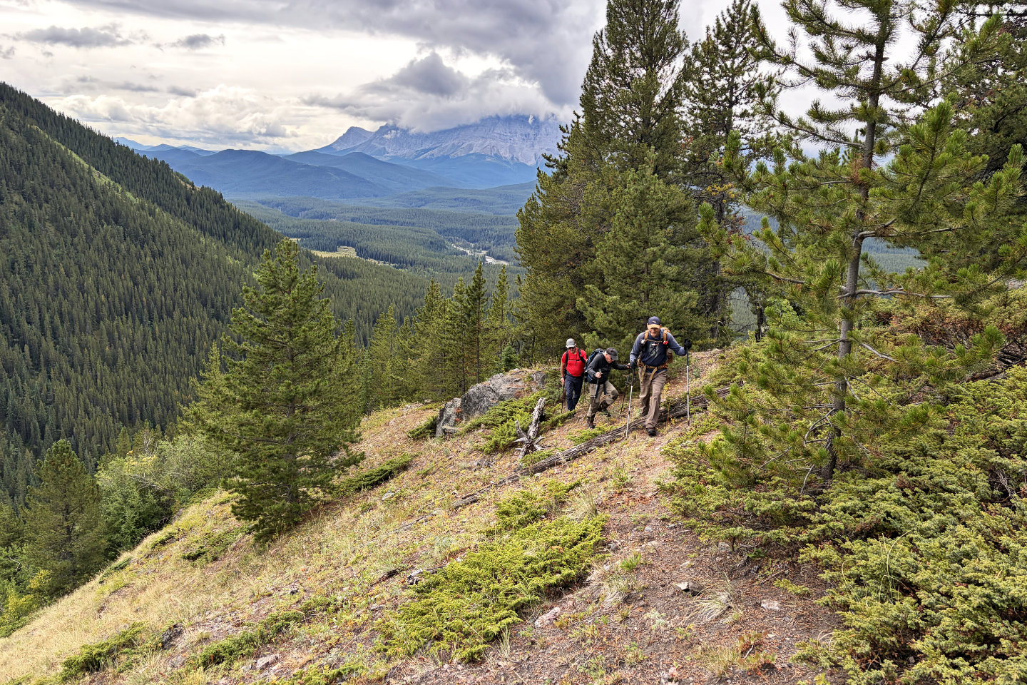 Looking back as we avoided a treed ridge and
followed a trail in a meadow
Looking back as we avoided a treed ridge and
followed a trail in a meadow
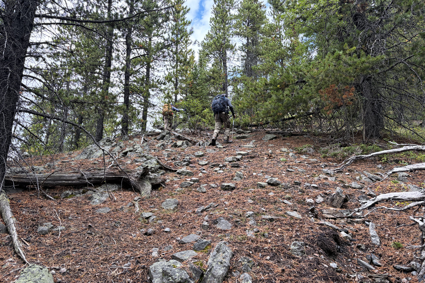 Back on the ridge
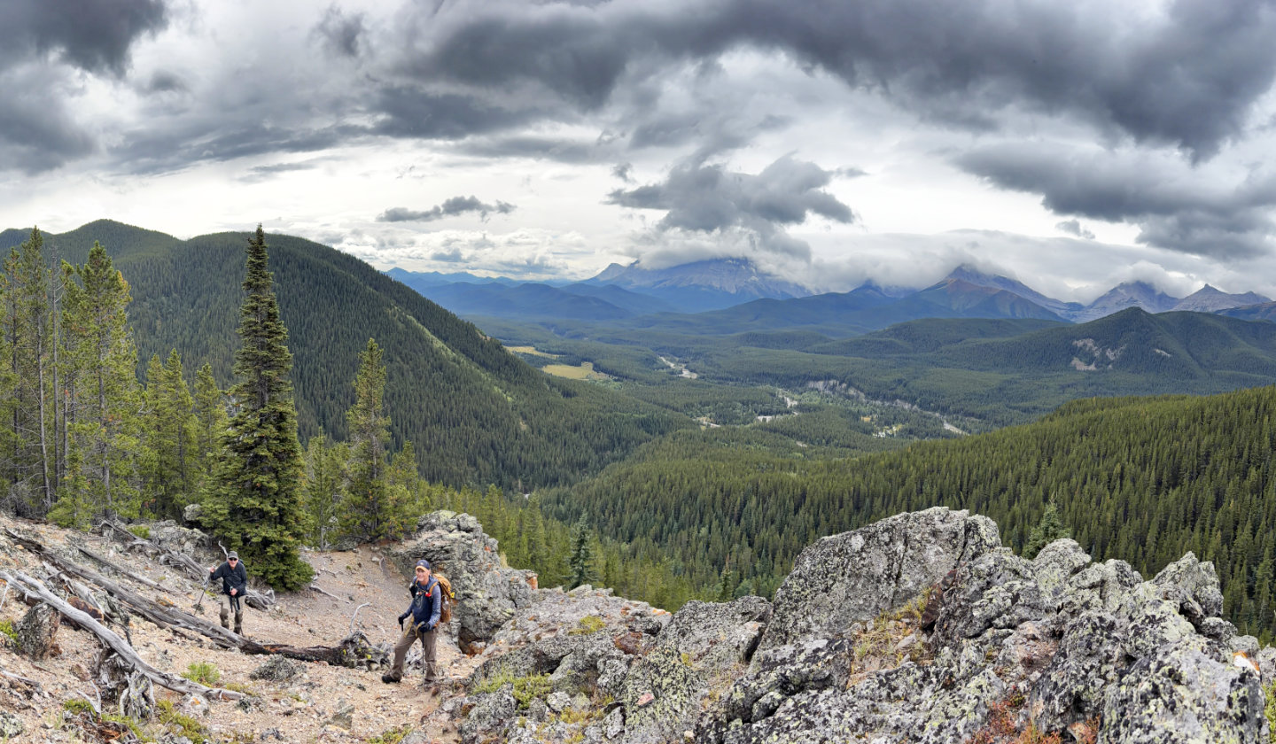 Looking back from the outcrop
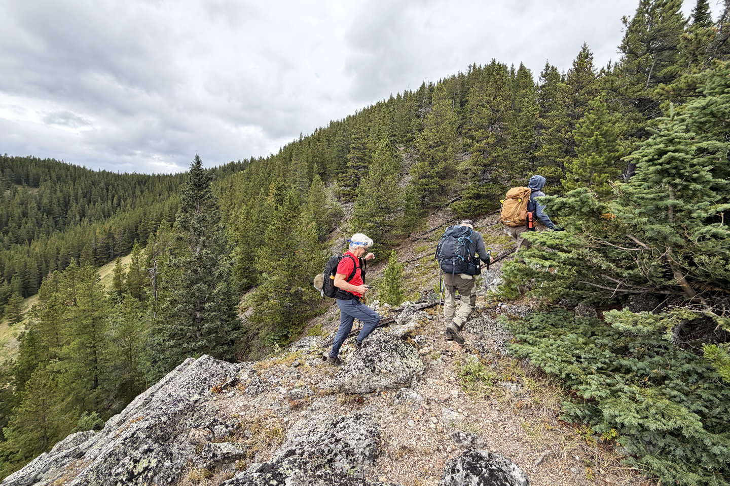 Continuing to Bump 1
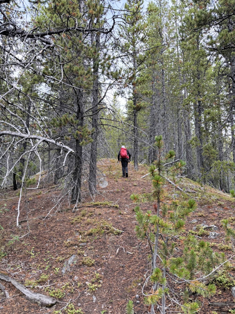
We followed a corridor in the forest
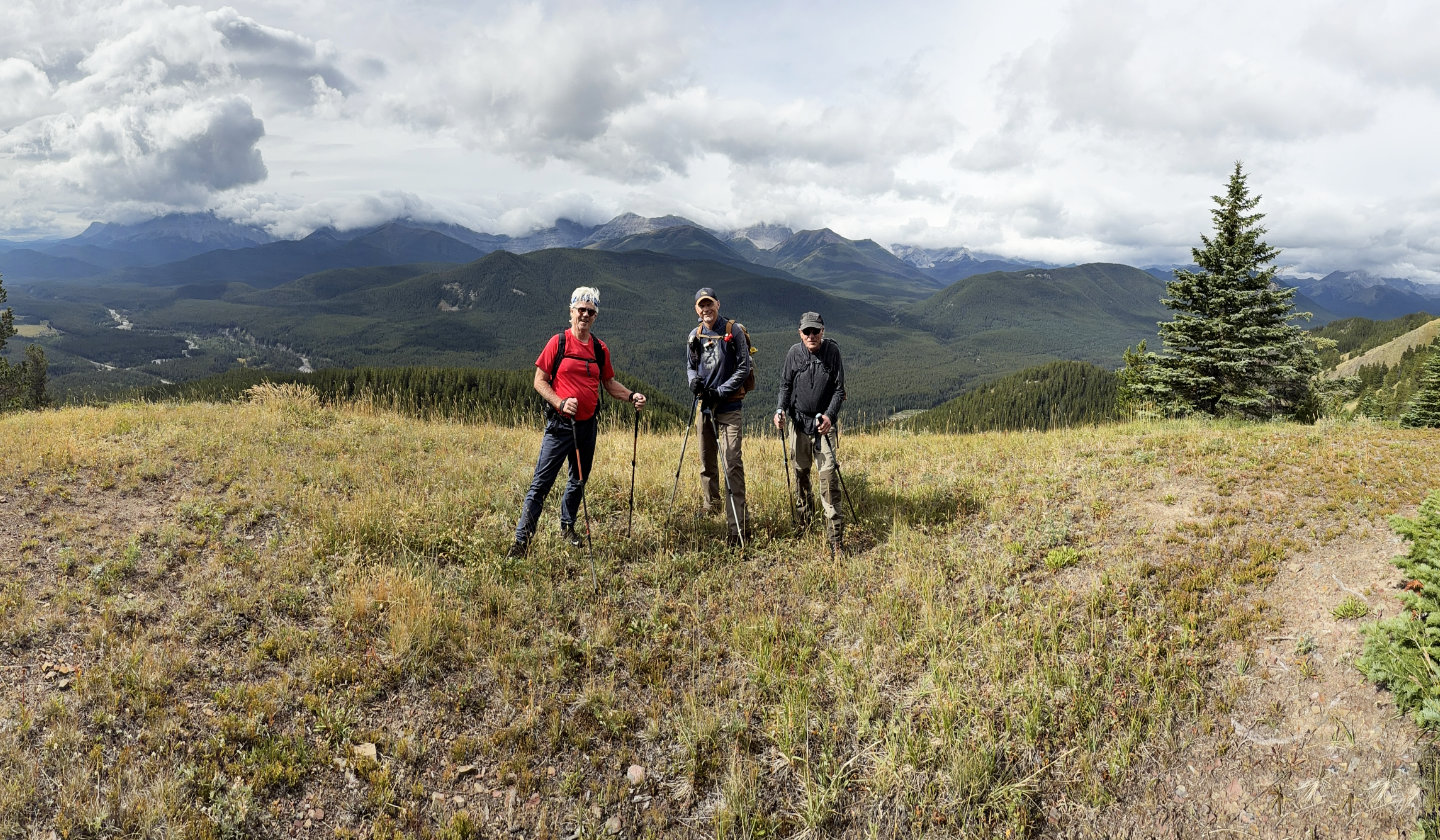 Doug, Brian and Bob enjoy sunshine on Bump 1
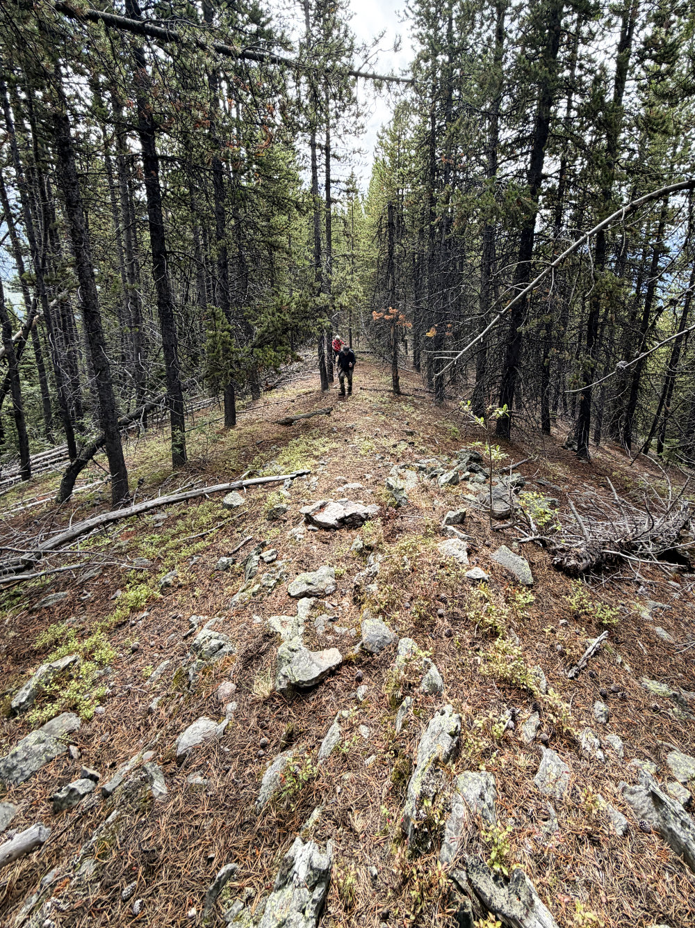
Going up Bump 2
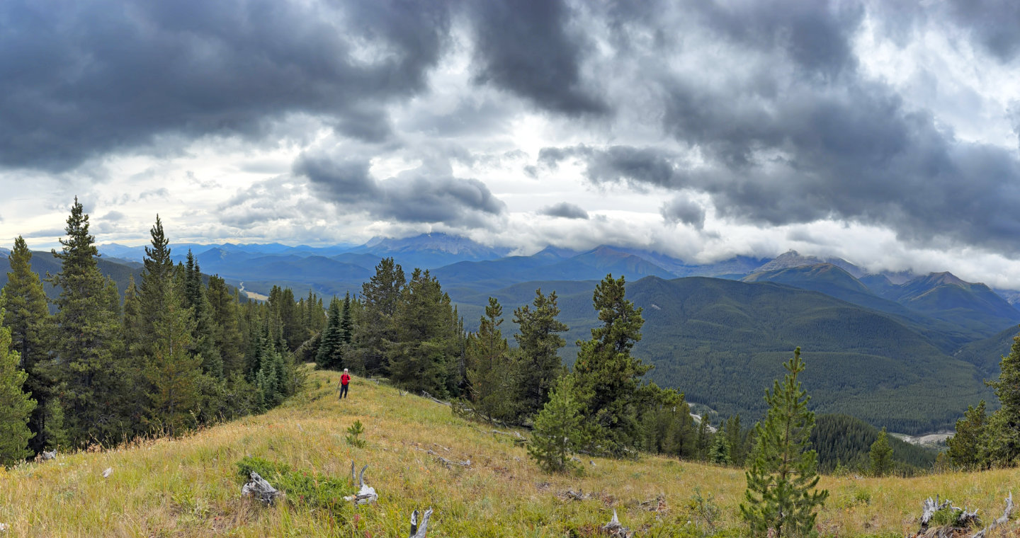 Looking back from Bump 2
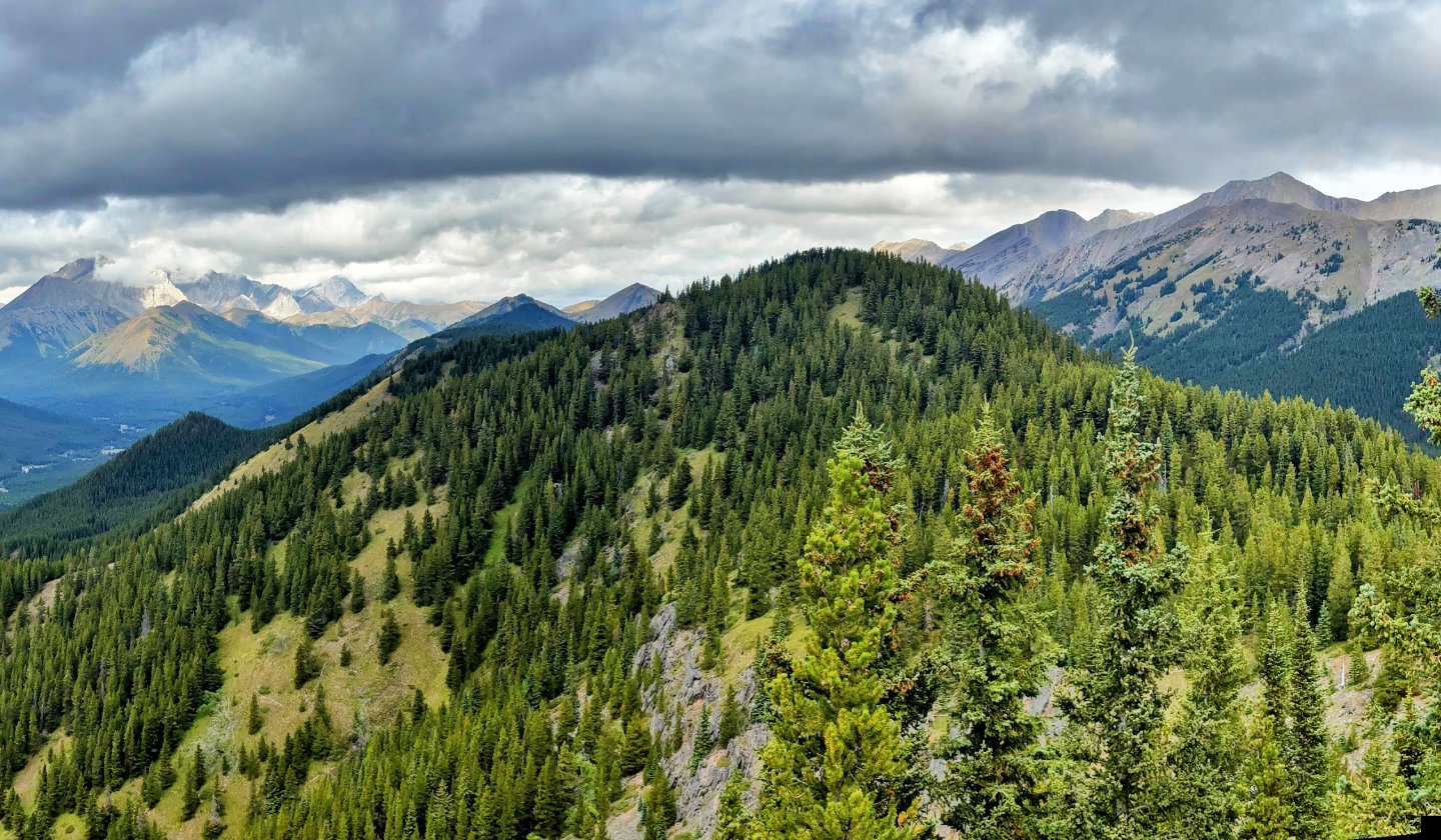 Bump 3 is next
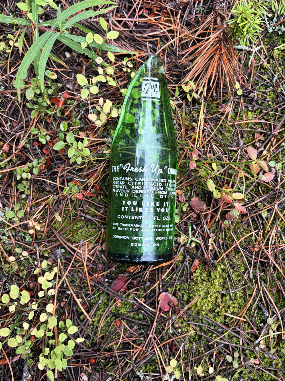
The broken 7 Up bottle on Bump 3 was over 60 years old
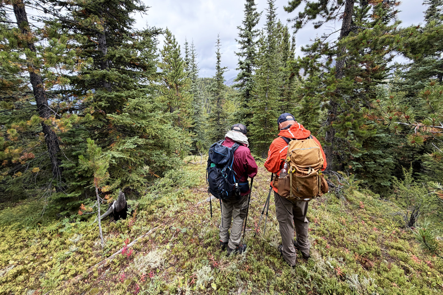 On Bump 3 going to 4
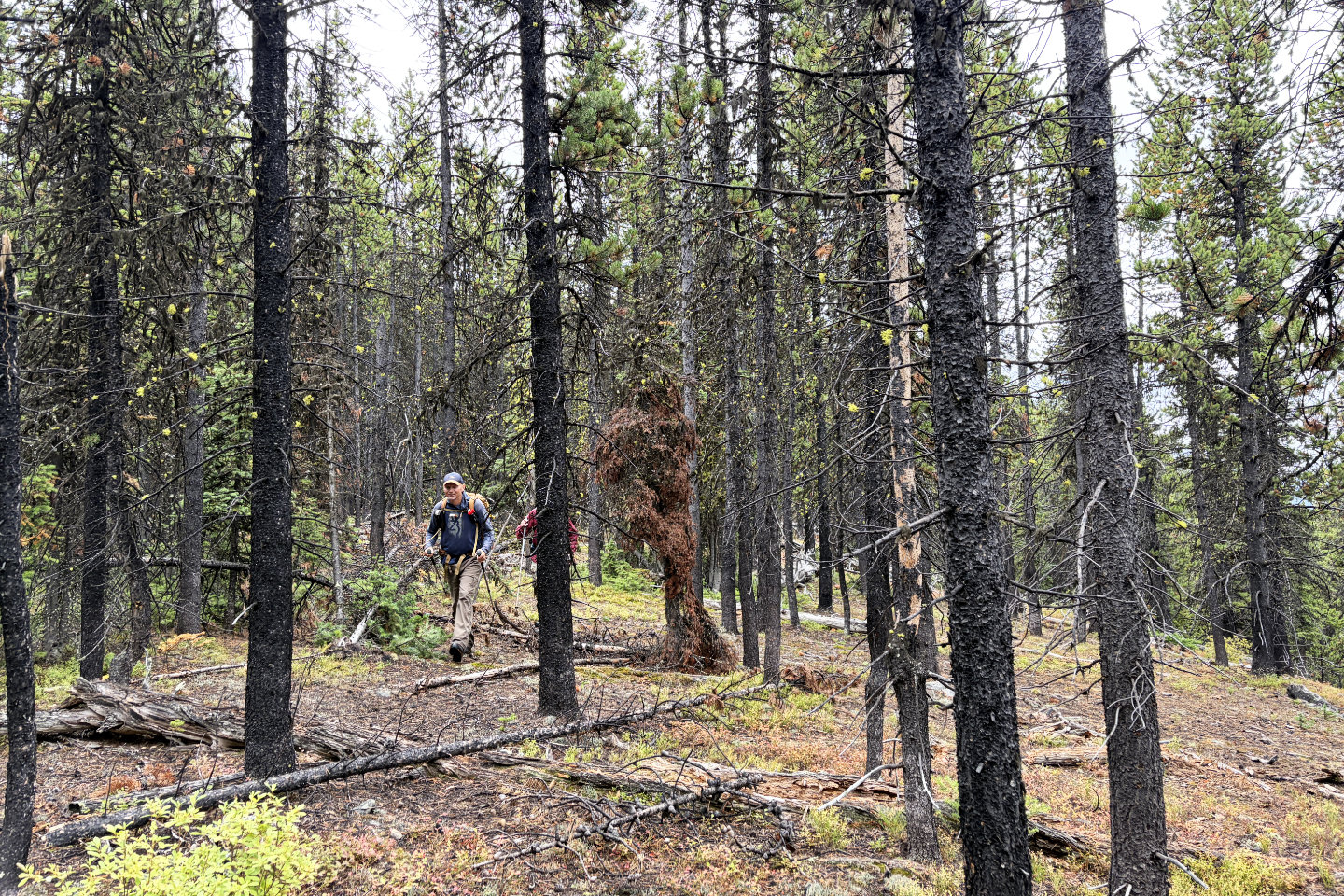 Between Bumps 3 and 4 is a long, flat stretch
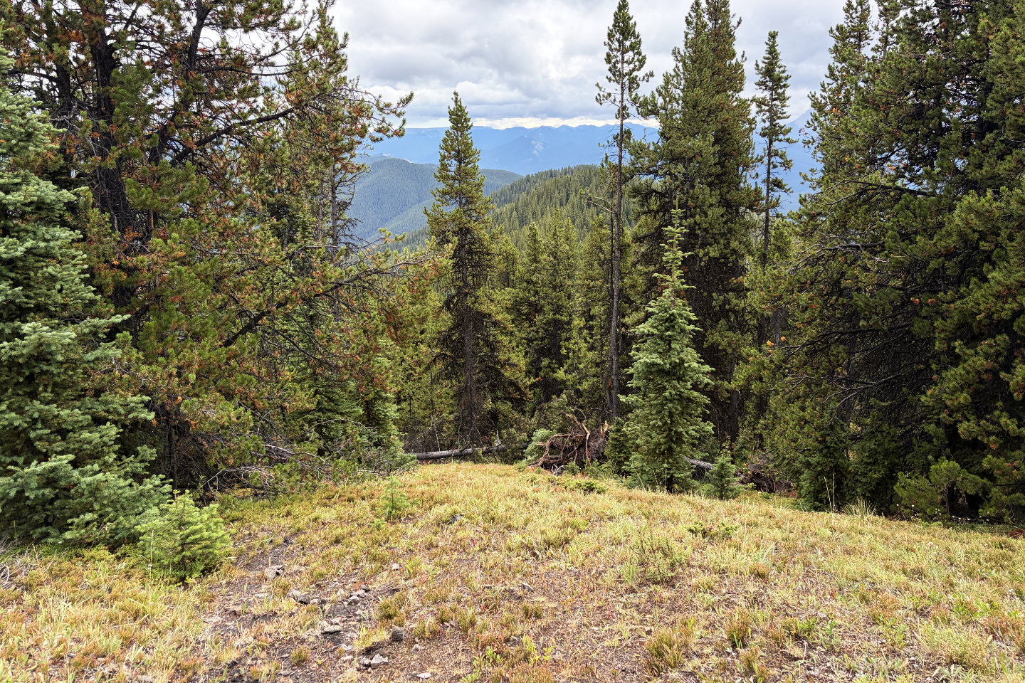 Looking back at Bump 3. Below is deadfall we
circumvented on the ridge.
Looking back at Bump 3. Below is deadfall we
circumvented on the ridge.
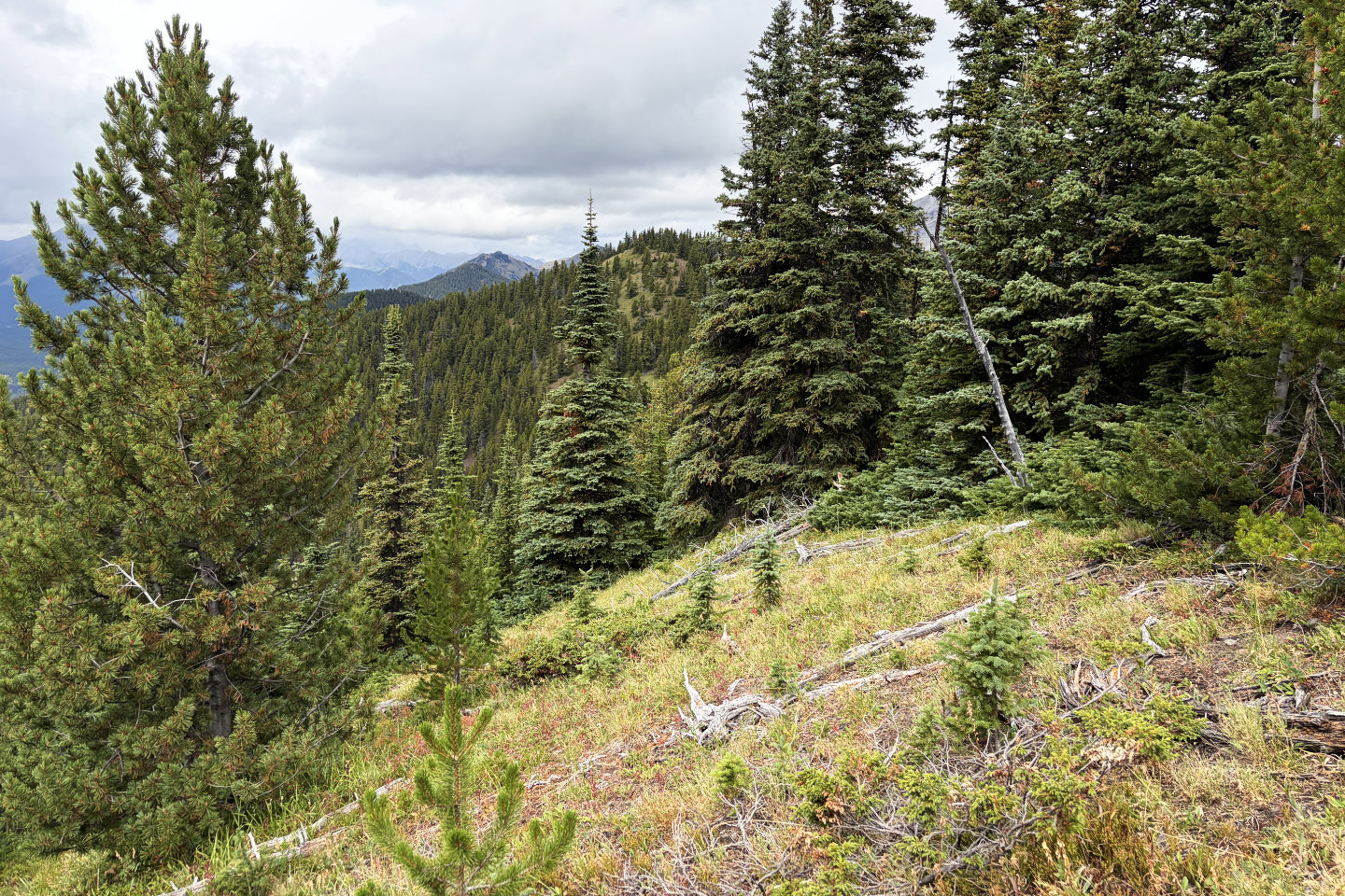 Looking at Bump 5 from 4
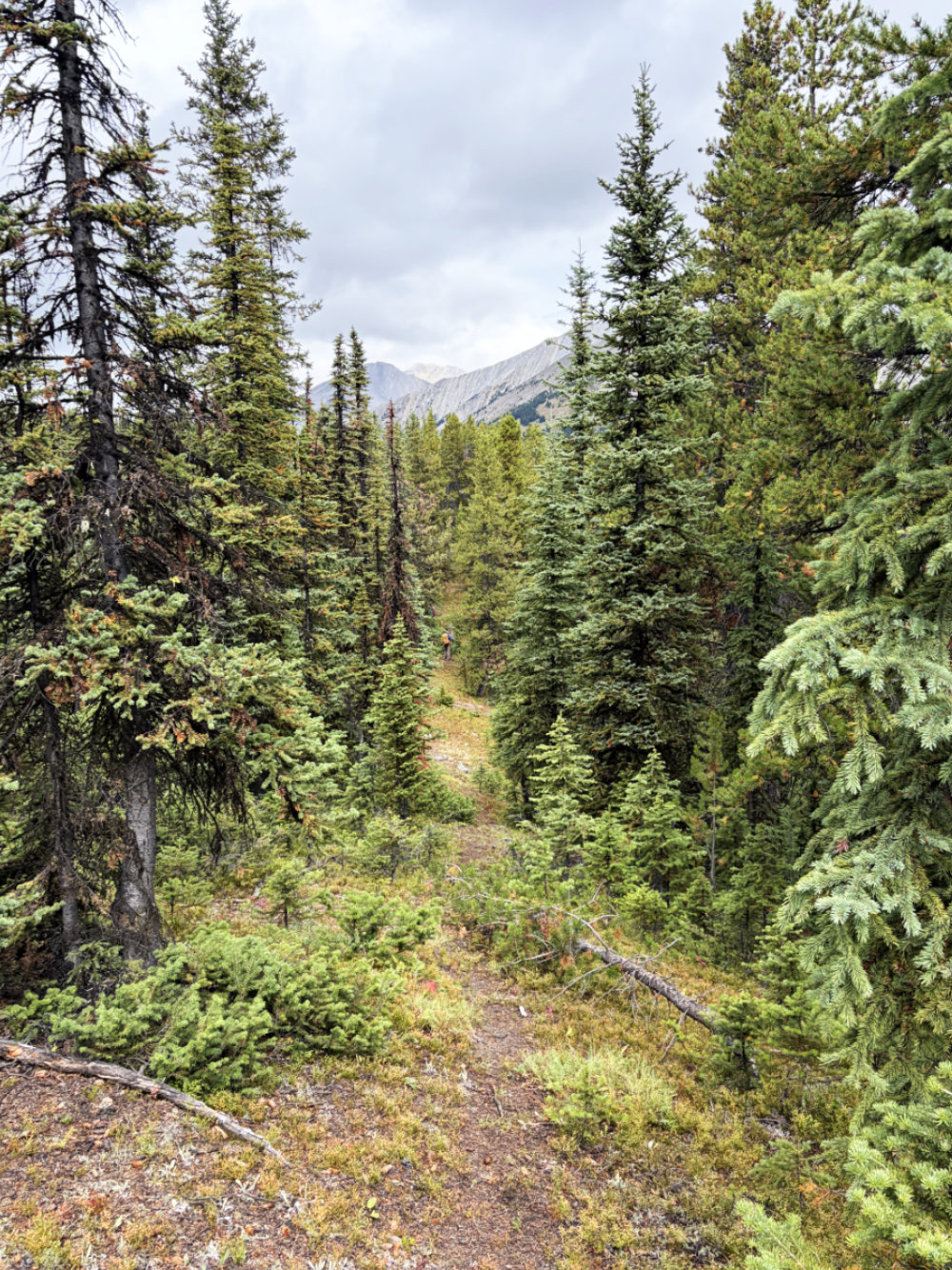
A long corridor runs down 4. The orange dot in the centre in Brian.
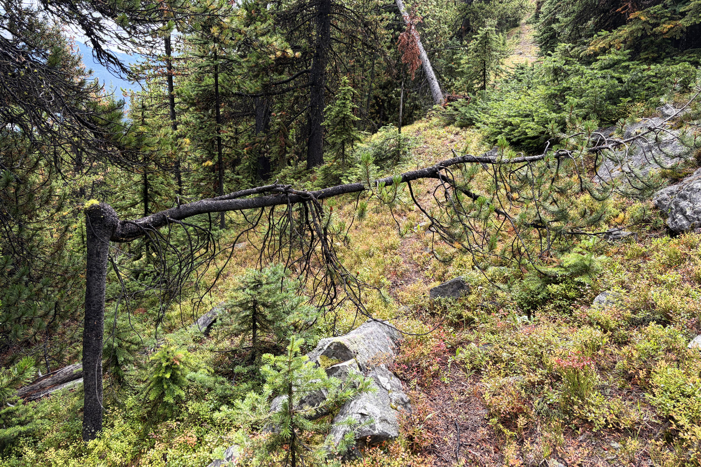 Looking back up the corridor. We came across
several deformed trees like this one.
Looking back up the corridor. We came across
several deformed trees like this one.
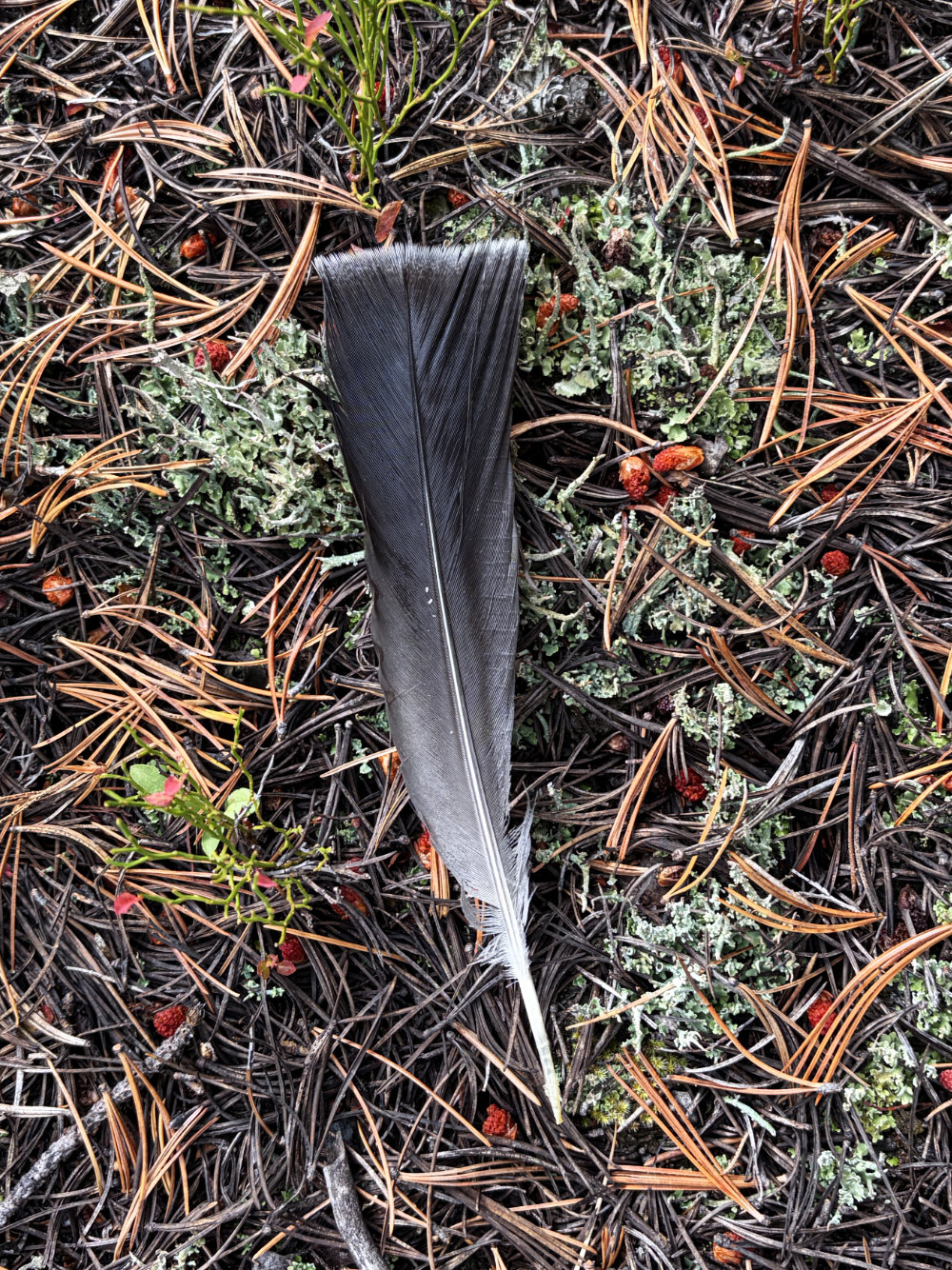
Spruce grouse tail feather
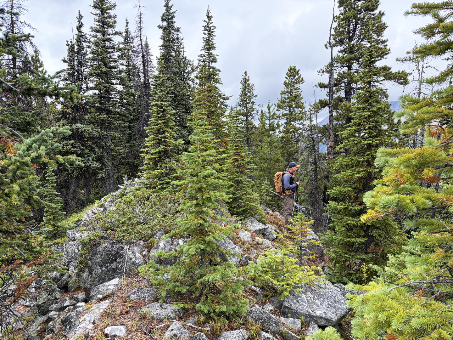 Bump 5 is a rocky spine with no views
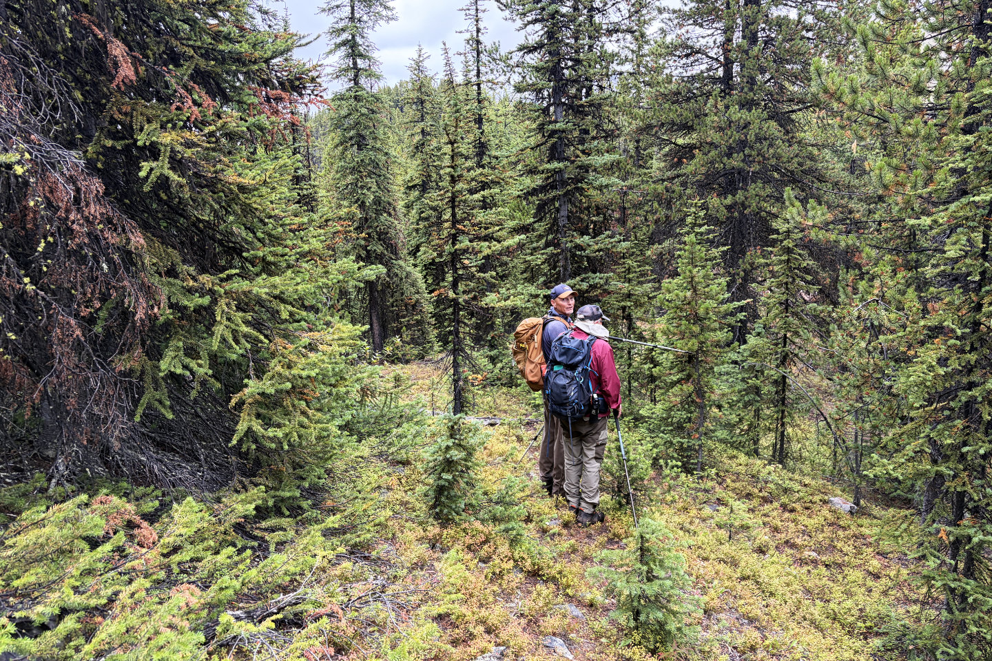 Bump 6 ahead
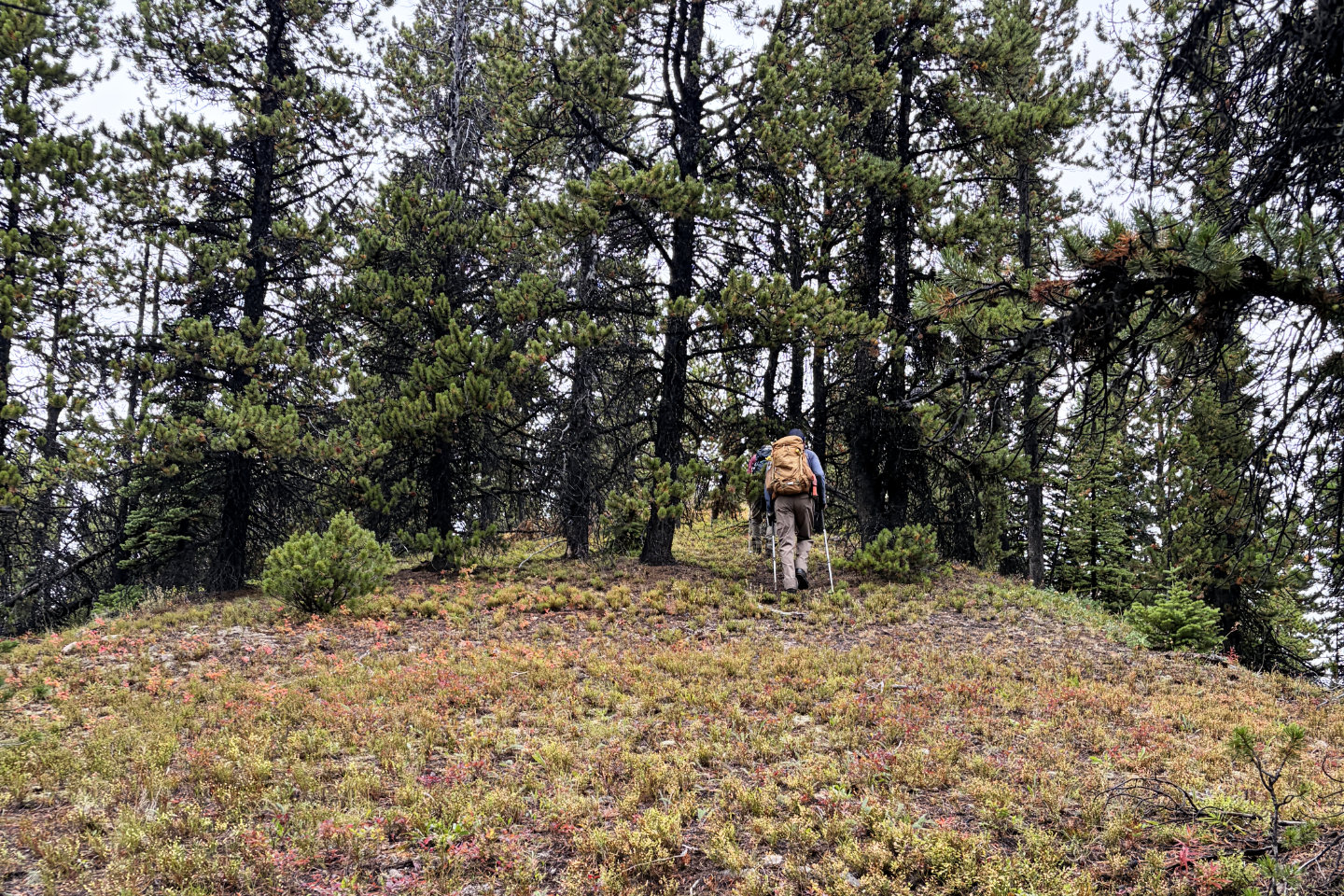 Heading to Bump 6, the summit
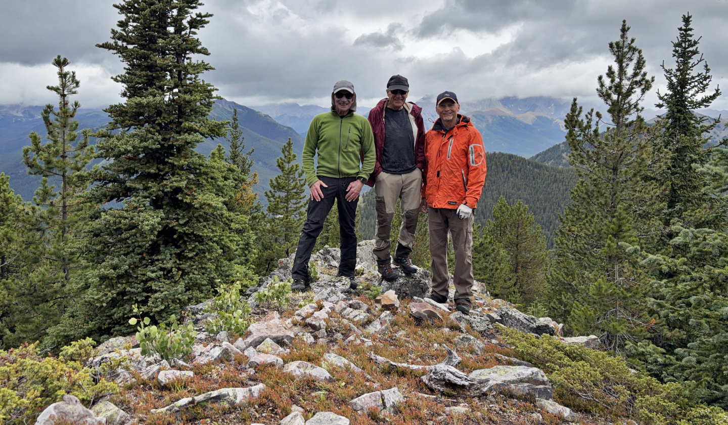 Me, Bob and Brian on the summit
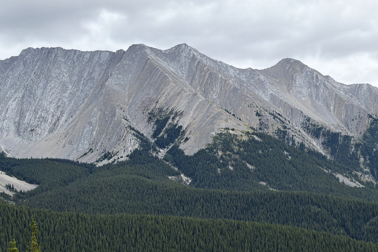 A close-up of Lineham Twins Peaks showing the ascent ridge in
the middle
A close-up of Lineham Twins Peaks showing the ascent ridge in
the middle
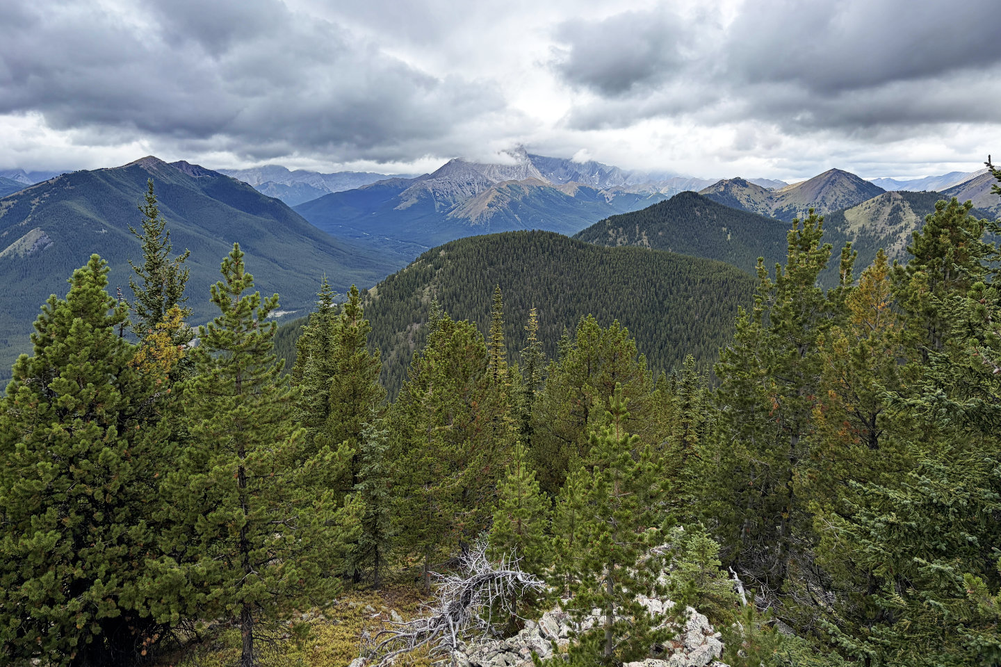 Looking northwest at a cloud-covered Mist Mountain
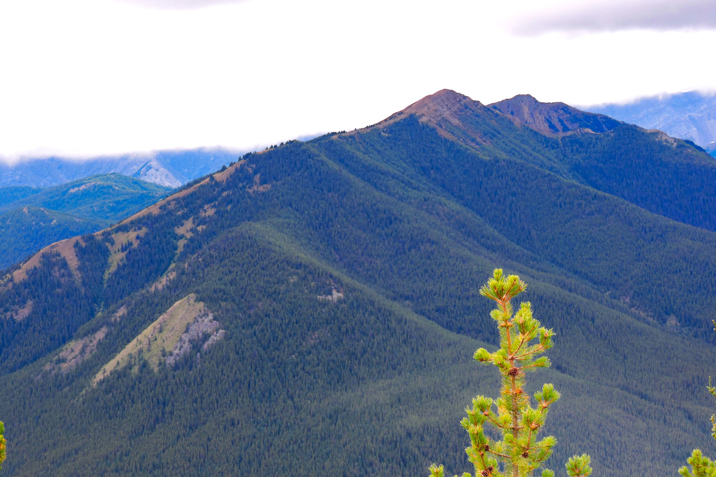
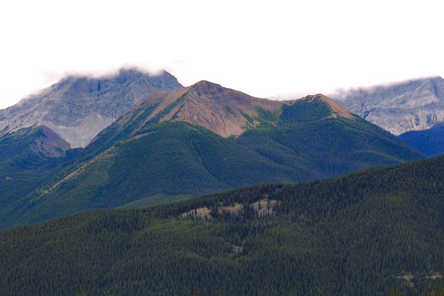 Mount Bishop and Bishop Ridge
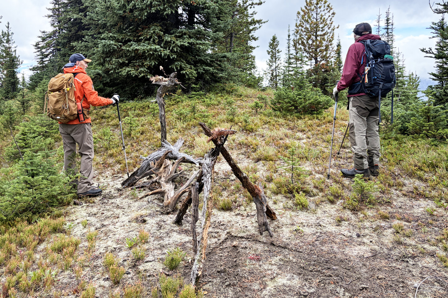 While going back over Bump 4, we noticed Doug's
artwork
While going back over Bump 4, we noticed Doug's
artwork
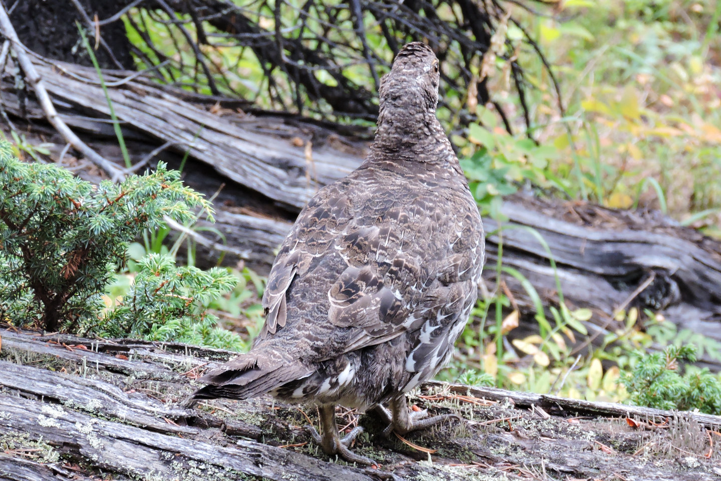 Six spruce grouse flocked together. Five fled, but
this one didn't go far. We watched as a hawk suddenly swooped down within metres of it, but flew away when
it saw us.
Six spruce grouse flocked together. Five fled, but
this one didn't go far. We watched as a hawk suddenly swooped down within metres of it, but flew away when
it saw us.
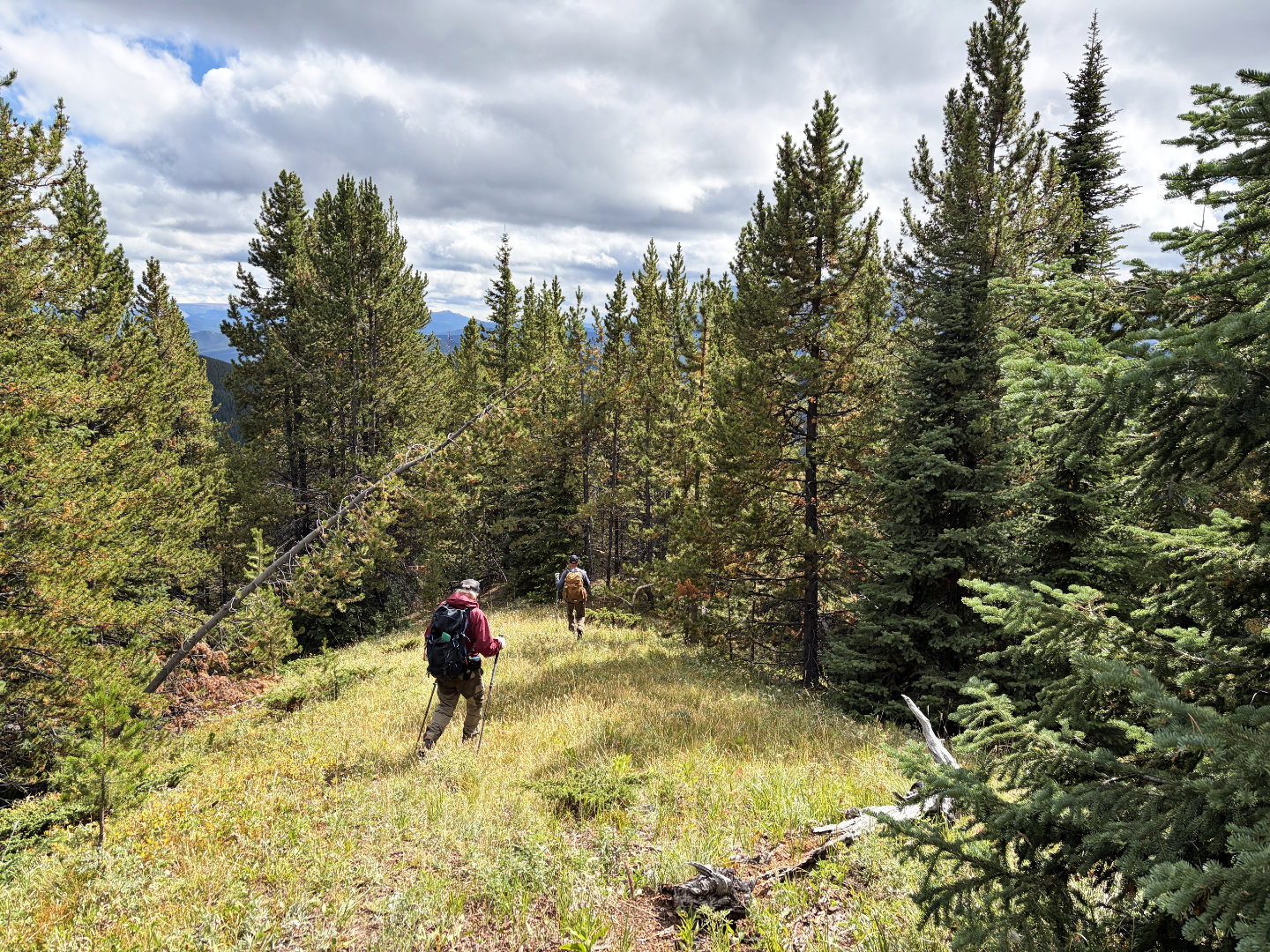 The sun came out as we descended Bump 2
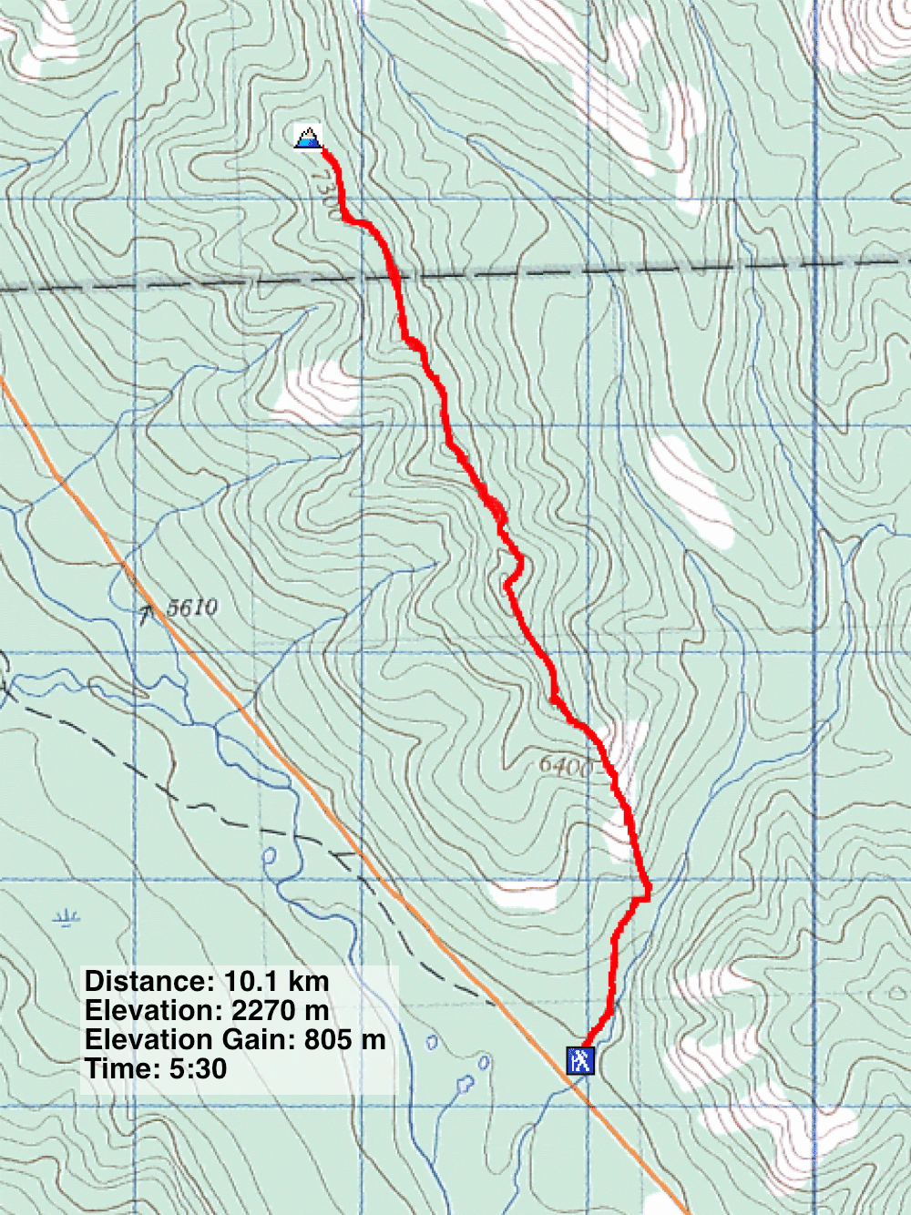
82 J/7 Mount Head