bobspirko.ca | Home | Canada Trips | US Trips | Hiking | Snowshoeing | MAP | About
Lineham Twin Peaks
Kananaskis, Alberta
October 29, 2004
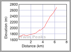
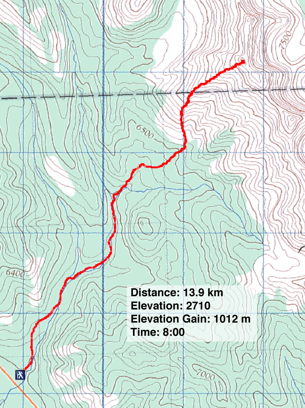
Distance: 13.8 km (8.6 mi)
Cumulative Elevation Gain: 1127 m (3698 ft)
When I first spied a pair of peaks in the Highwood Range from Lineham Ridge, I was drawn to climbing them the following week. I called them "Lineham Twin Peaks," but after posting my trip report, Andrew Nugara summited a series of connected peaks starting with the ascent of the first peak, 618951. He calls those peaks "Lineham Creek Peaks."
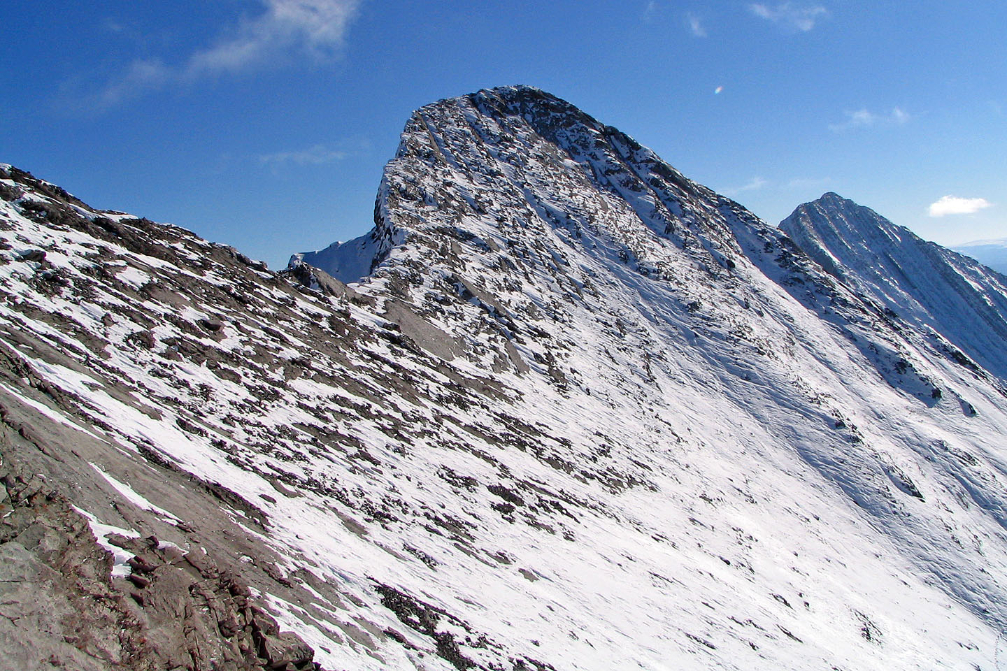
From the valley, it appeared the second peak could be easily reached via the 250 m ridge connecting to 618951. But looks are deceiving. To our disappointment, Dinah and I were only able to reach the lower peak, 618951. We couldn't get safely close to the edge to study the higher peak because of snow, but there appeared to be a big drop to the connecting ridge. Steep, snow-covered slabs lead up to the second peak.
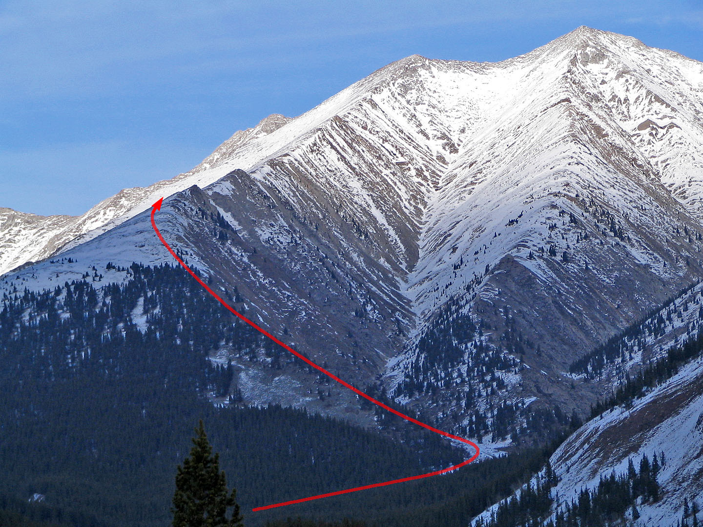
To reach the lower peak, we followed Lineham Creek trail described in Kananaskis Country Trail Guide. An hour and a half after starting, we reached the confluence and crossed Lineham Creek. Minutes later, we left the main trail and struck out east on a side trail that followed a semi-forested gully. We left this trail to head up through forest to the ridge, but as we learned on our descent, it's easier to stay on the side trail. It turns northeast and leads to a basin at 610942. From there it's a matter of following the ridge to Peak 618951. The ascent took four hours (the descent took 3.5 hours as it was a nice day so we took our time).
There was no cairn and it was far too cold to stay long enough to build one. Maybe the next person up can build one!
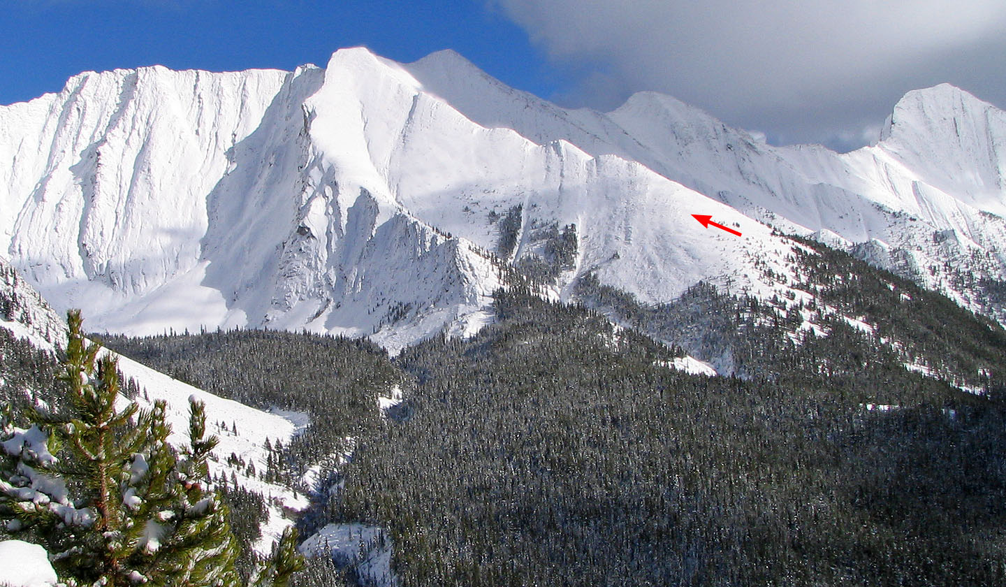
Photo of Peak 618951 taken from Lineham Ridge taken a week earlier
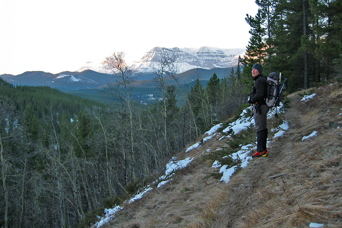
Looking back after starting up the Lineham Creek trail
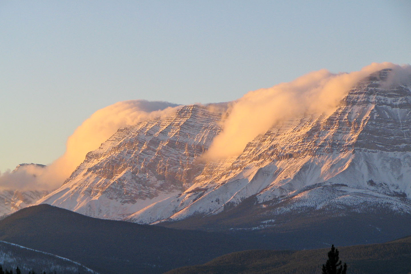
Mist rises from sunlit peaks in the Elk Range
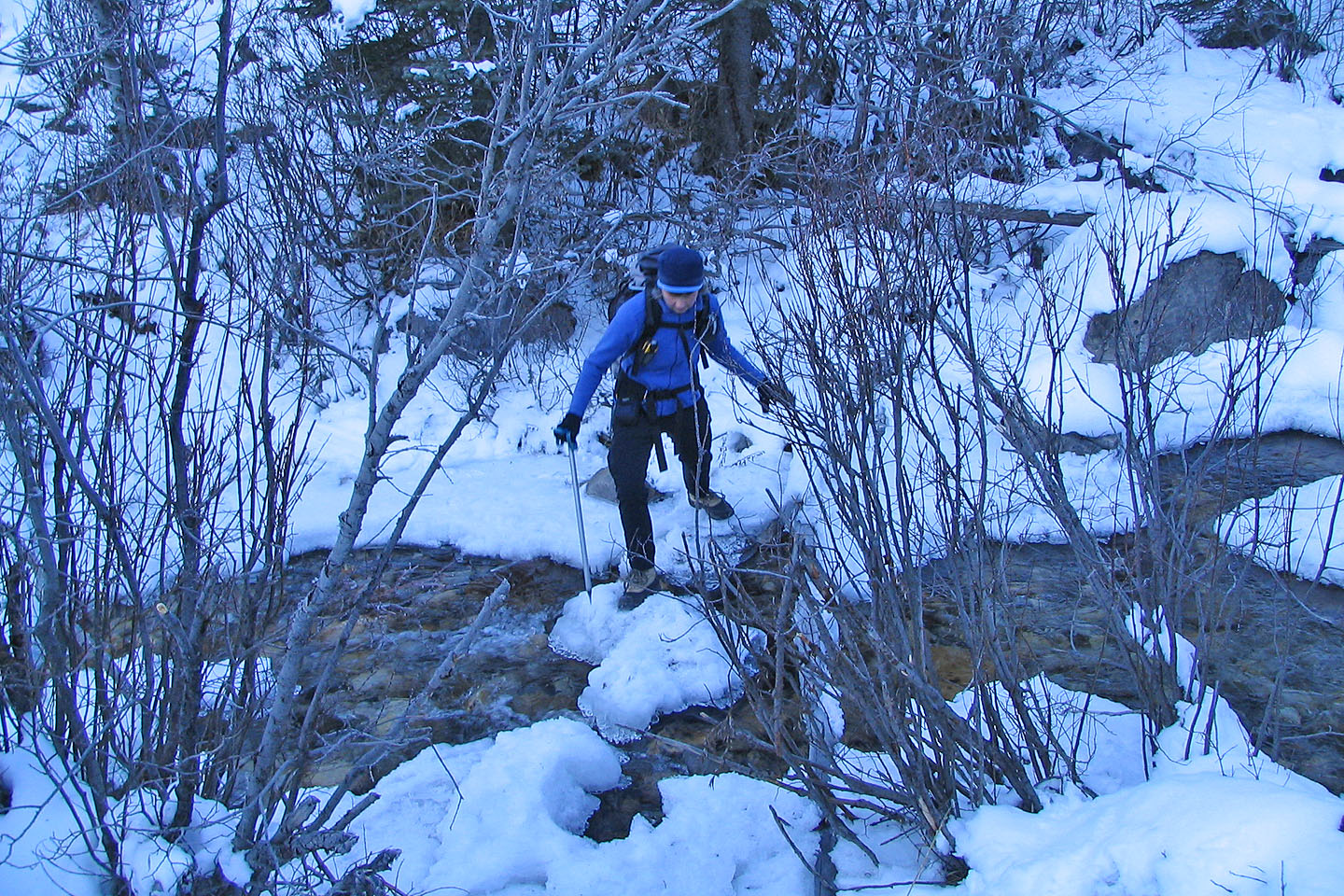 Dinah steps across a creek
Twin Peaks from the trail
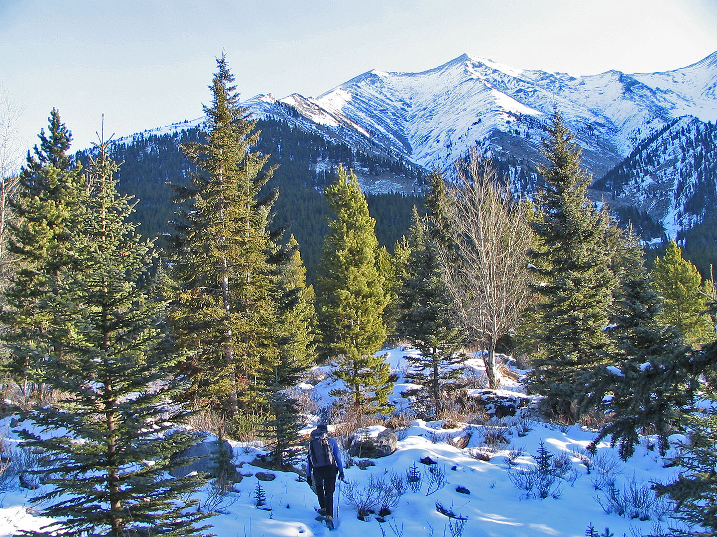
The peaks come into view just minutes after starting out on Lineham Creek Trail.
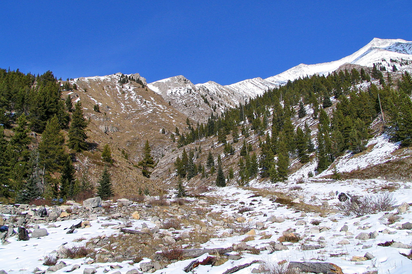
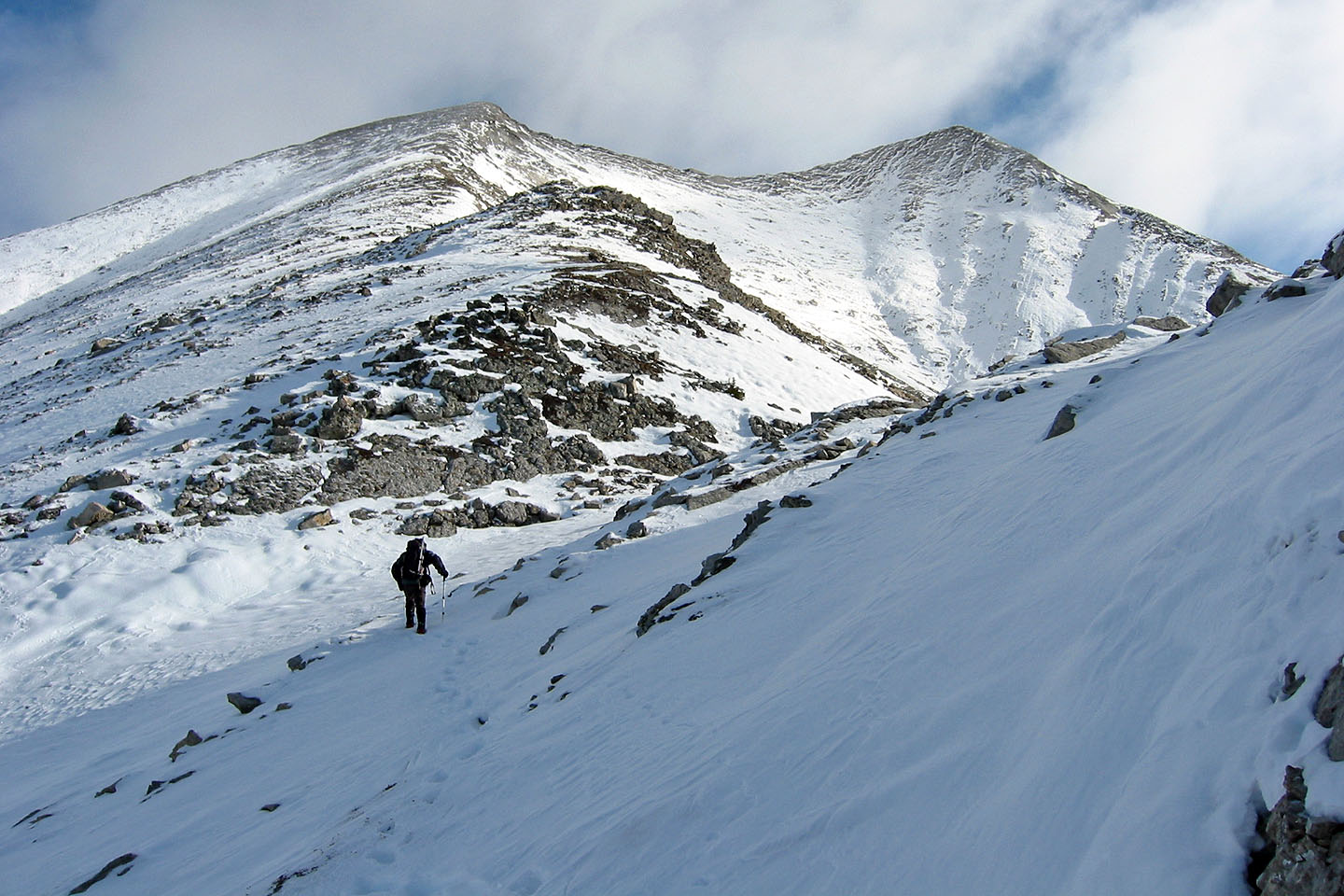
From the basin, head up the ridge on the left. The Peak 618951 is the second point from the left.
Starting up the slope
Looking back
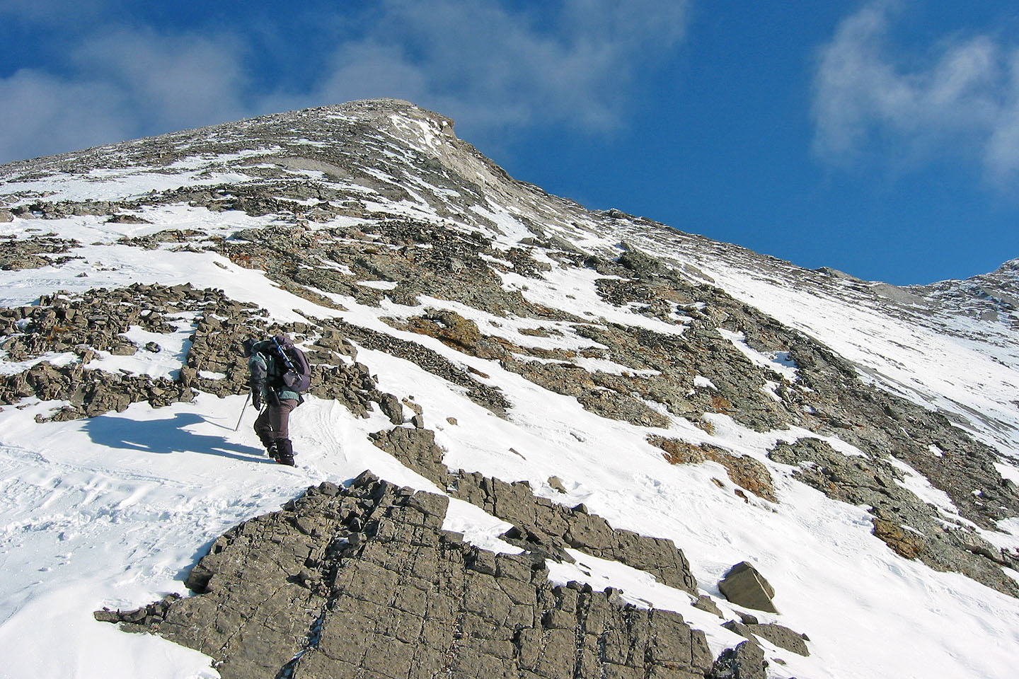
Typical of the ridge terrain
Dinah follows in my footsteps
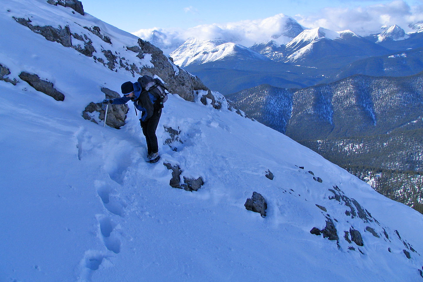
This point could probably be downclimbed easily in dry conditions, but we dropped down to get around it
We had ice axes but never used them
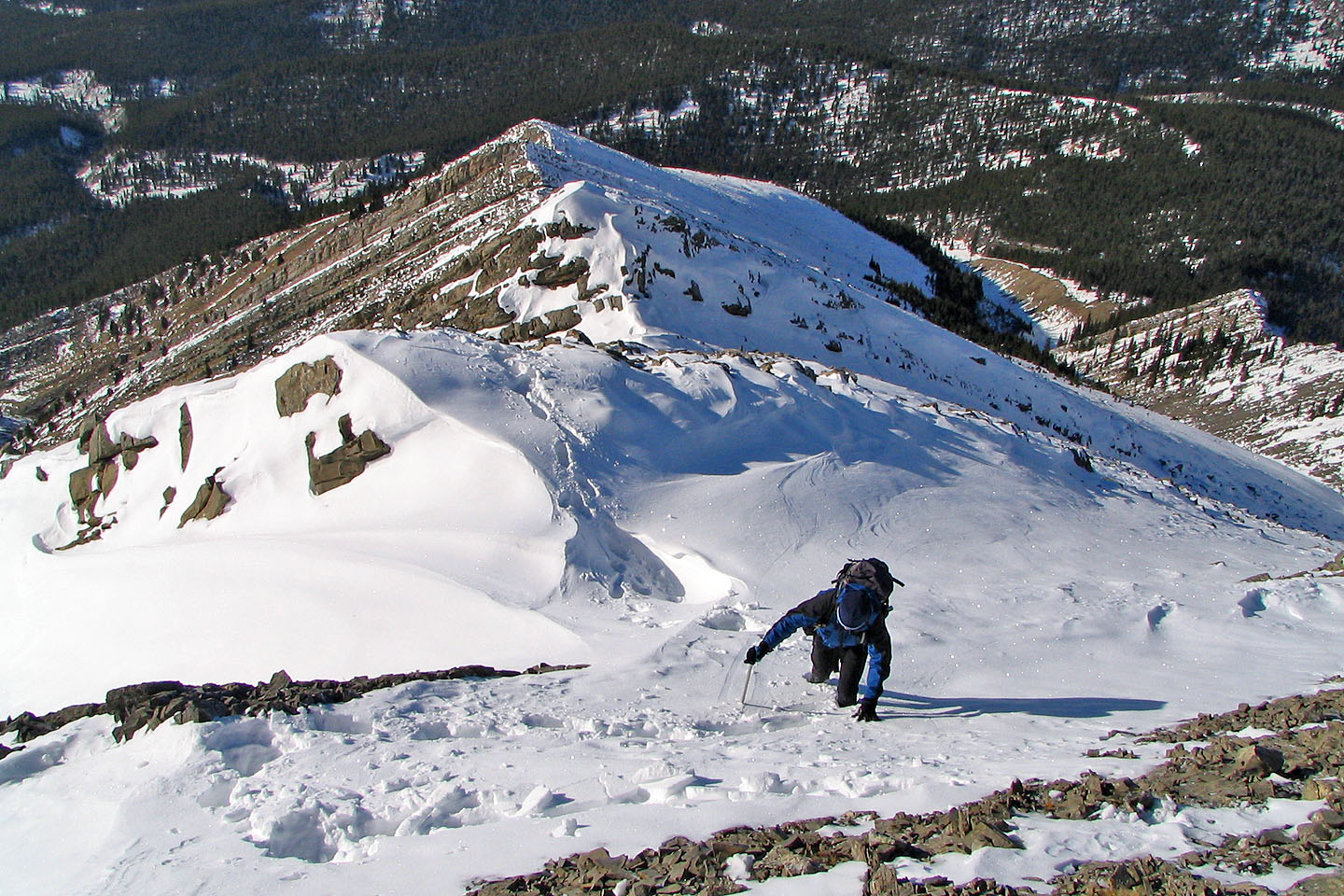
Dinah hits a steep section
We skirted below some of the prominences, but in retrospect it may have been more enjoyable to go over them
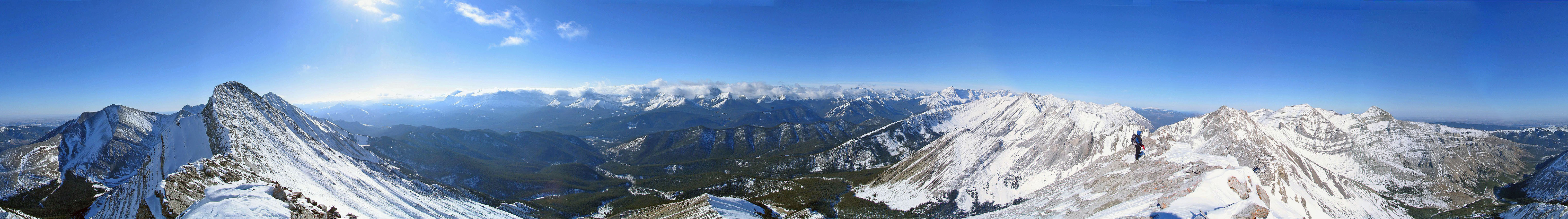
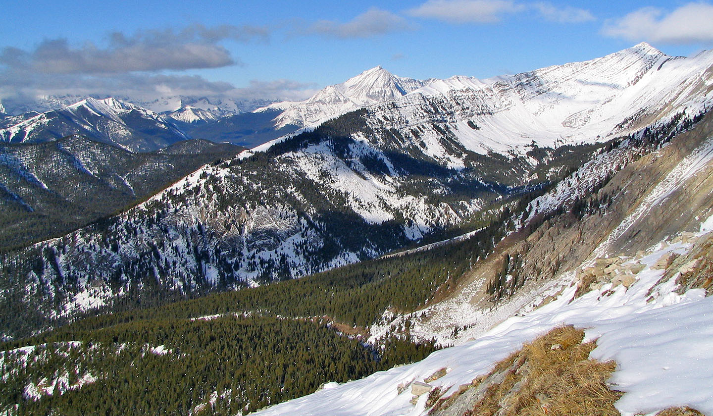
Mist Mountain (mouse over for a close-up) rises above Lineham
Ridge
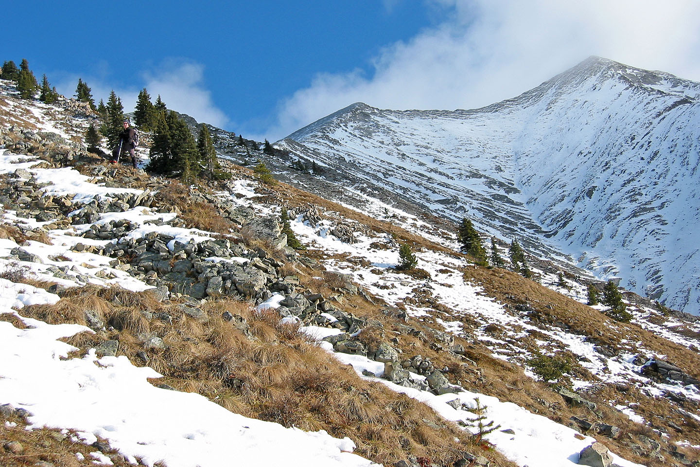
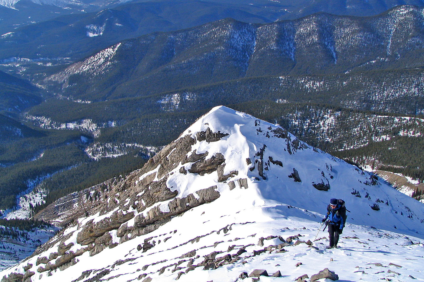
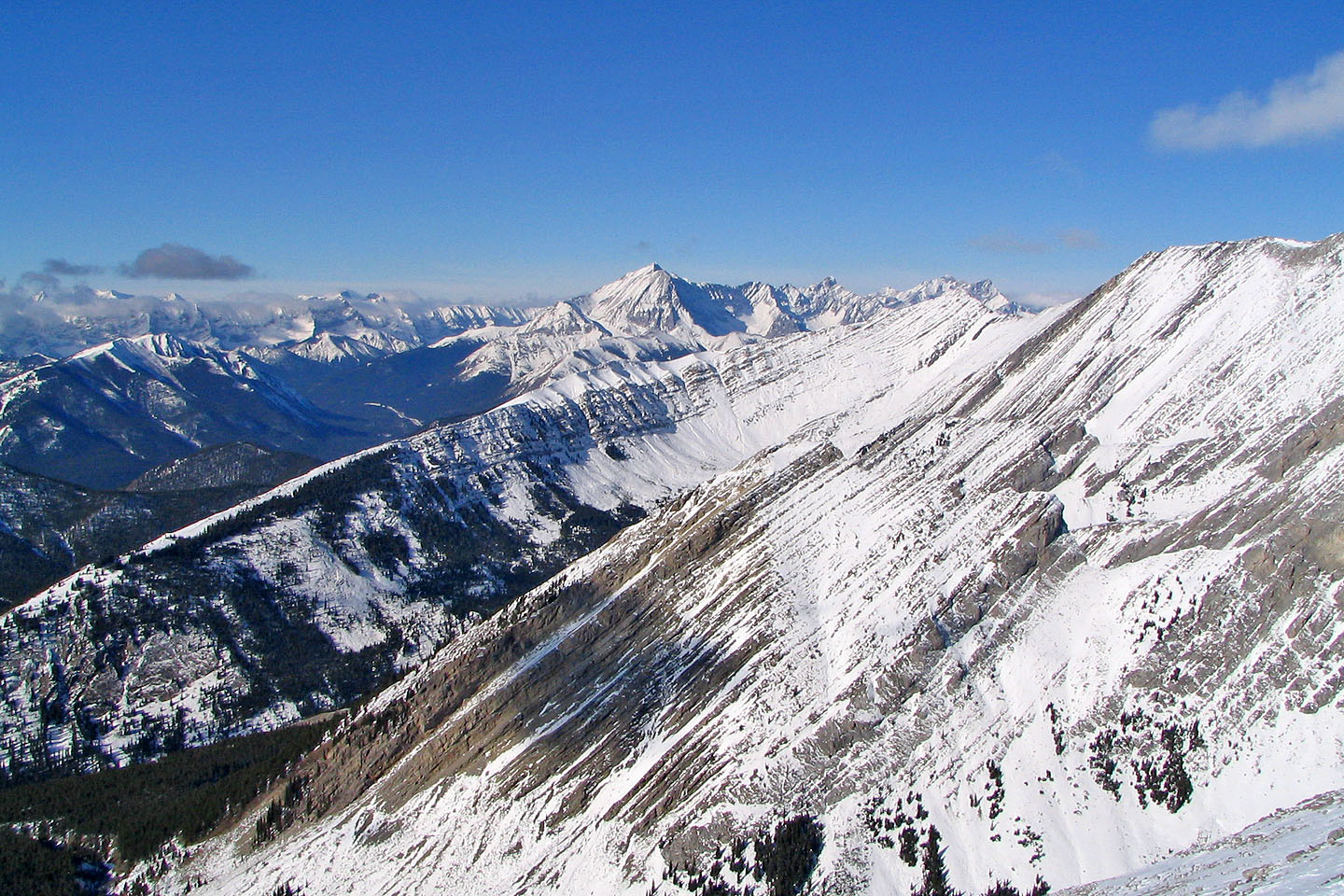
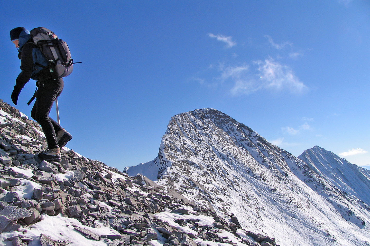
 The connecting ridge and second peak
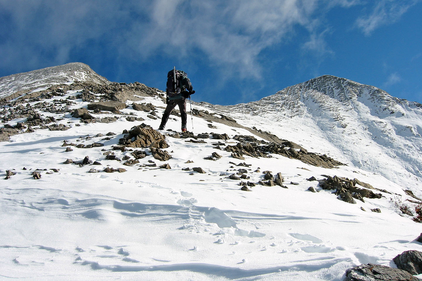
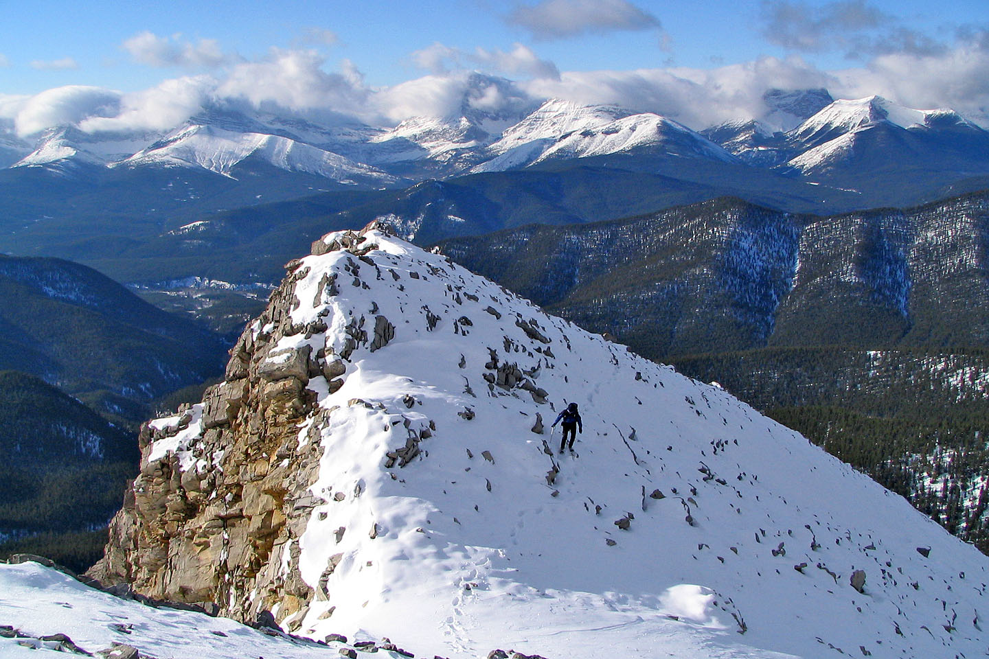
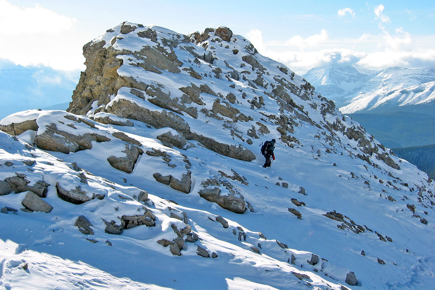
After the prominences, the rest of the climb is straightforward
The second peak looks so close
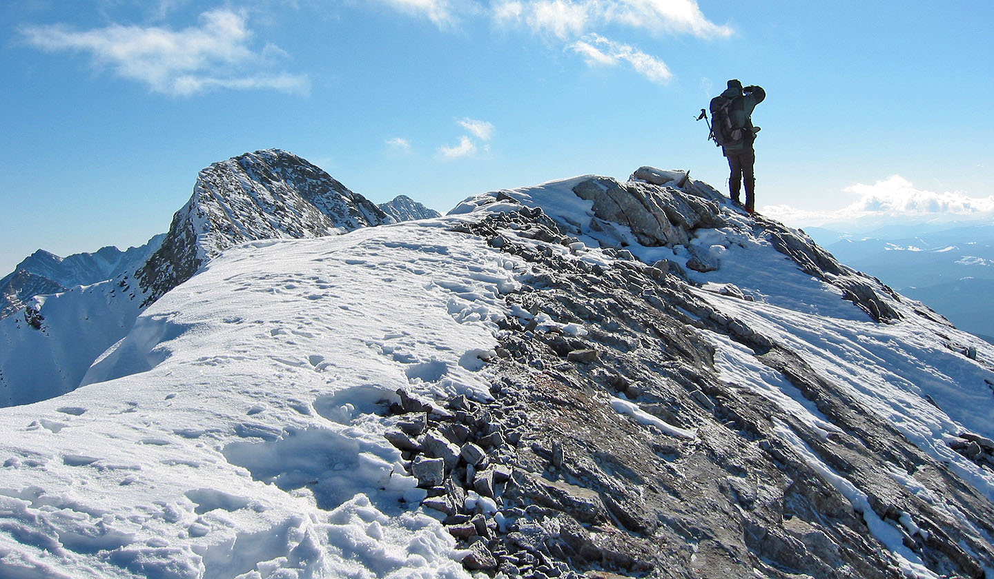
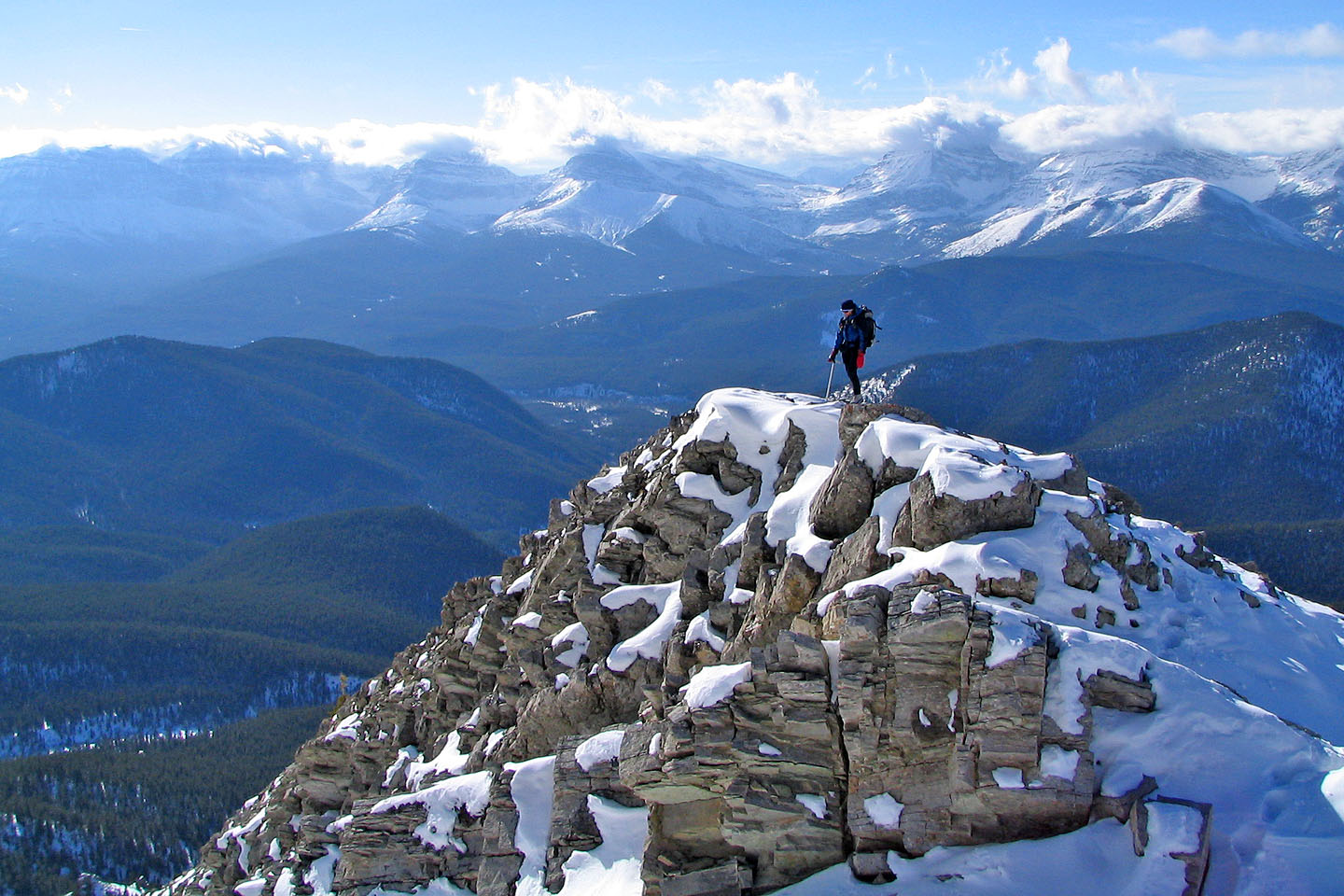
On top of the first peak. Second peak is on the left.
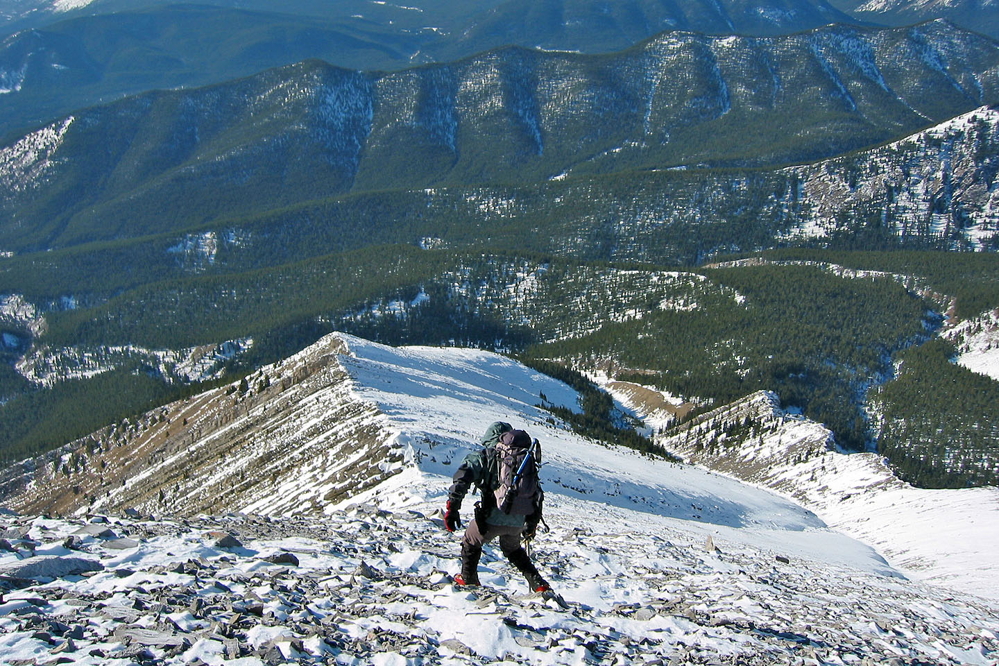
Starting back down
Heading back
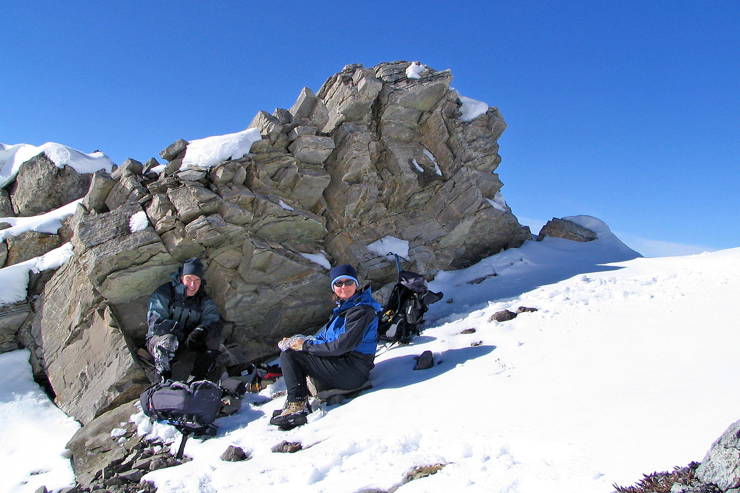
On the way down, we found shelter and took a break
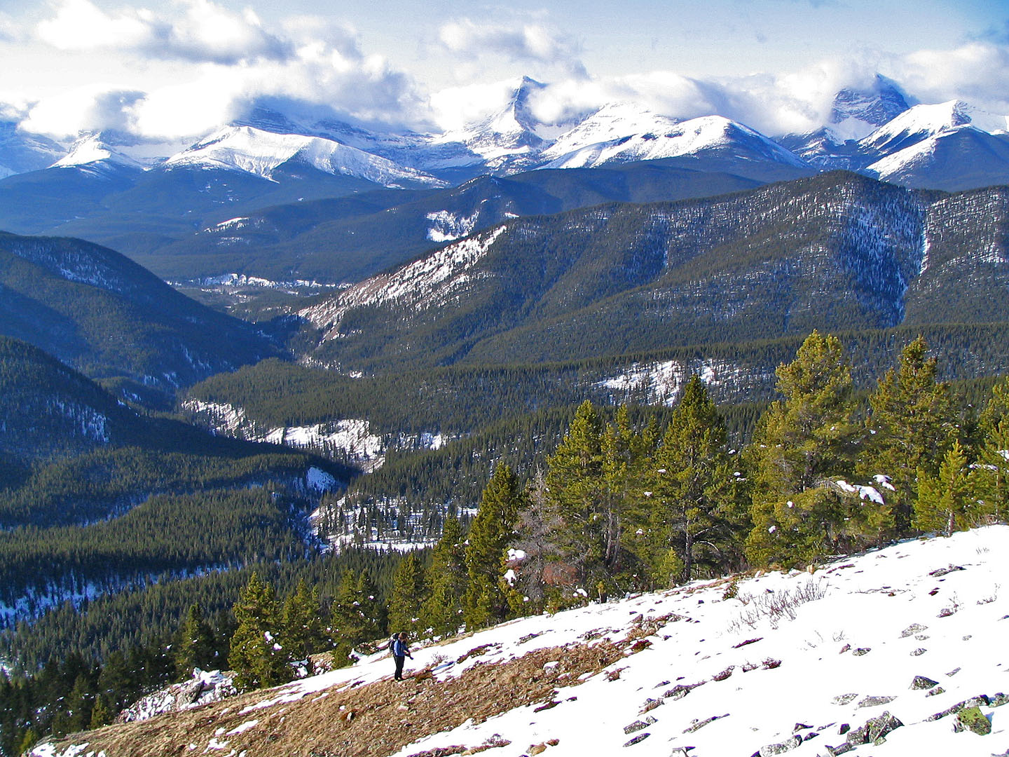
Dinah pauses on a high point
82 J/7 Mount Head