bobspirko.ca | Home | Canada Trips | US Trips | Hiking | Snowshoeing | MAP | About
Odlum Ridge
Kananaskis, Alberta
November 15, 2008
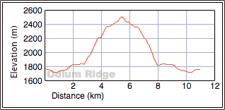
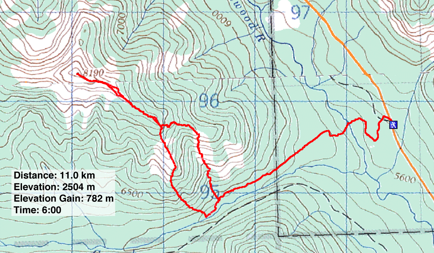
Distance: 11.0 km (6.8 mi)
Cumulative Elevation Gain: 847 m (2779 ft)
After I attempted Bishop Ridge last week and saw how dry Highwood Pass was, Dinah and I returned to ascend the highest point on Odlum Ridge, the East Peak. We drove a short distance past Lantern Creek day use area and parked at the side of the road by the trailhead.
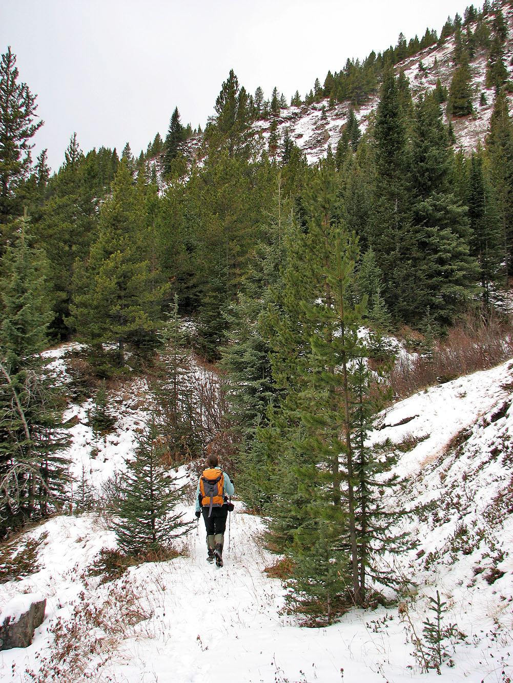
After passing the boulders that mark the start of the trail, we almost missed the sharp left turn just metres from the boulders. This road sent us around a long, U-shaped bend before reaching the Highwood River. After crossing the river, we ditched our waders on the other side and hiked up the road to the cutline.
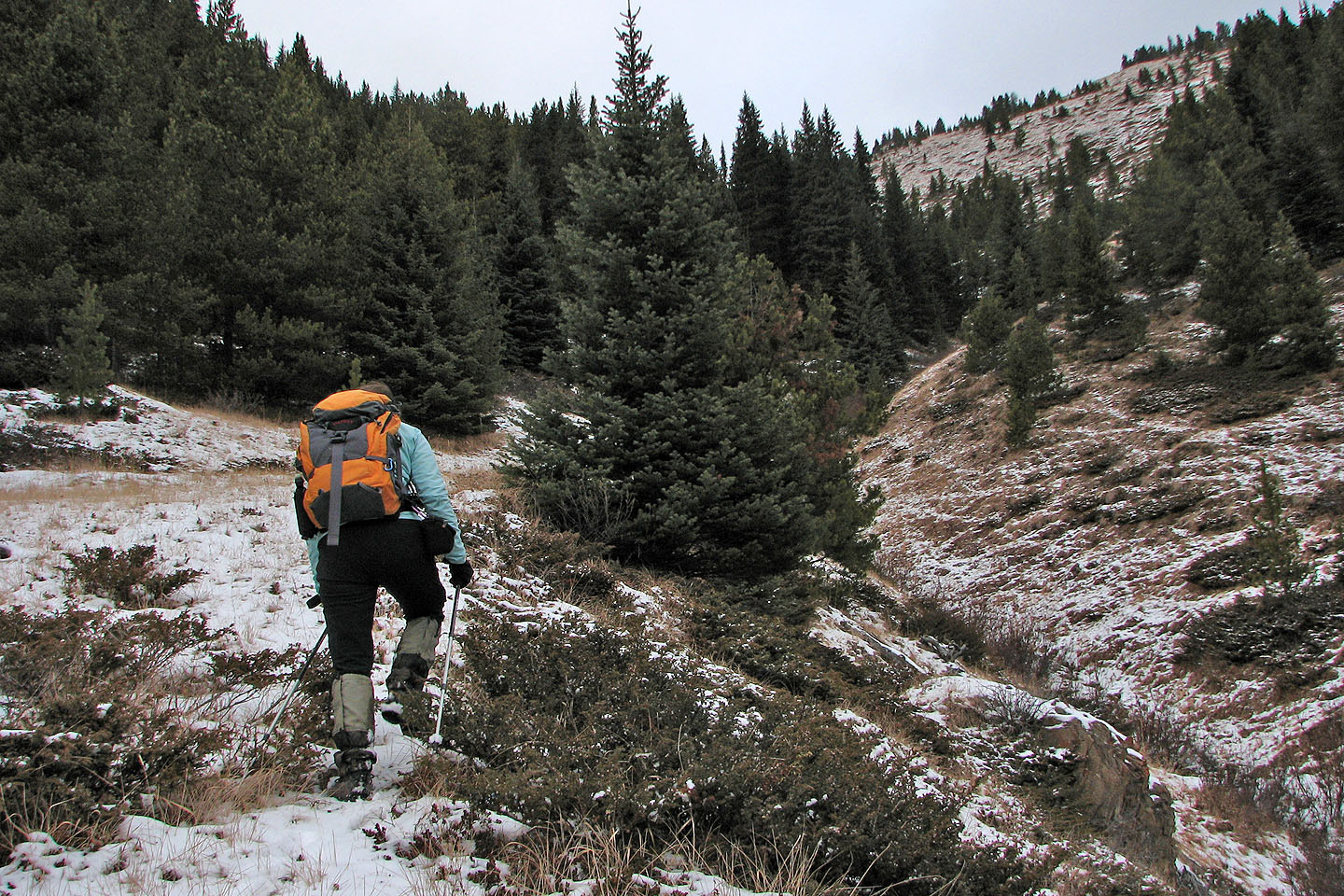
Forty minutes after leaving the river, we reached an obvious drainage and crossed it. We started up the left bank before realizing there was no easy way to reach the open slope on our left because of a steep, treed slope. (Later, on the descent, we concluded we should have walked 100-200 m past the drainage before leaving the trail and starting our ascent.)
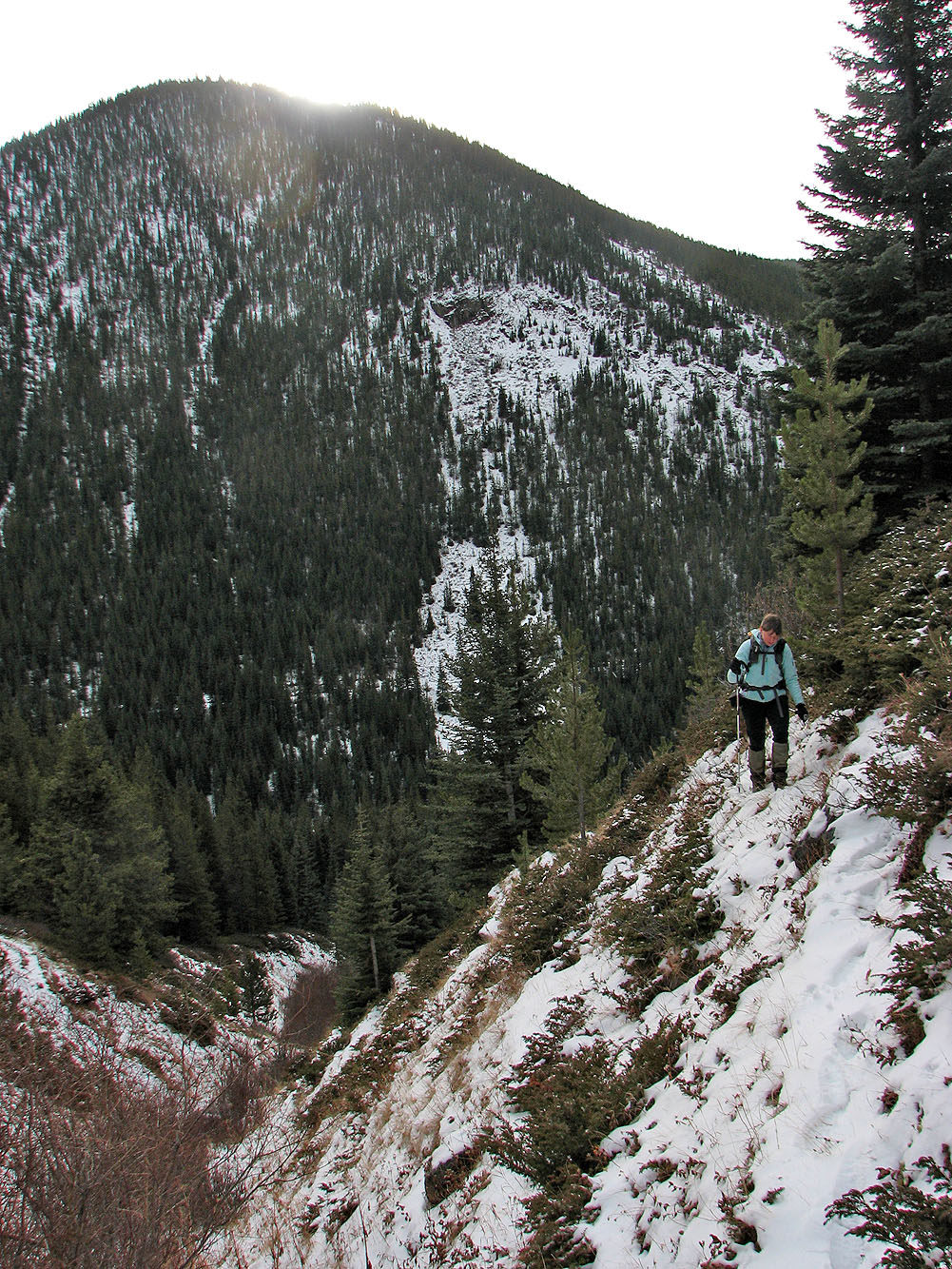
We continued up the left side of the drainage until we were forced to cross to the open, grassy slope on the other side. Ascending this took us to the crest of the southeast ridge. Once on the ridge, we followed it to the East Peak.
Our stay was brief. There was little to see or photograph because of clouds and blowing snow. I had to confine my panorama to the east for fear getting the lens pelted with snow. On a nicer day, we would have continued to the centre peak, but we headed back along the ridge. This time we kept right and passed our ascent ridge. We followed the grass-covered south spur until it descended into trees where we picked up animal trails leading to the bottom. The network of crisscrossing trails was so dense that one could travel easily in any direction. We ended up on the main trail 200 metres west of where we started our ascent.
Odlum Ridge probably doesn't see many ascents, but even in poor weather, we thought it was a worthwhile, late-season climb.
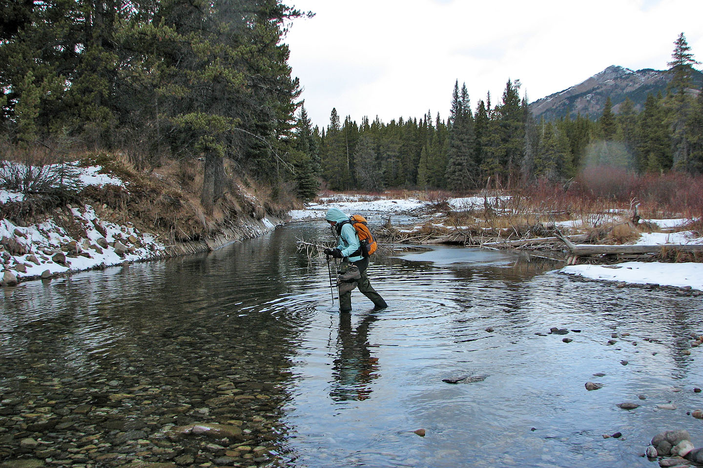
The Highwood River crossing was 40 metres lower than the trailhead
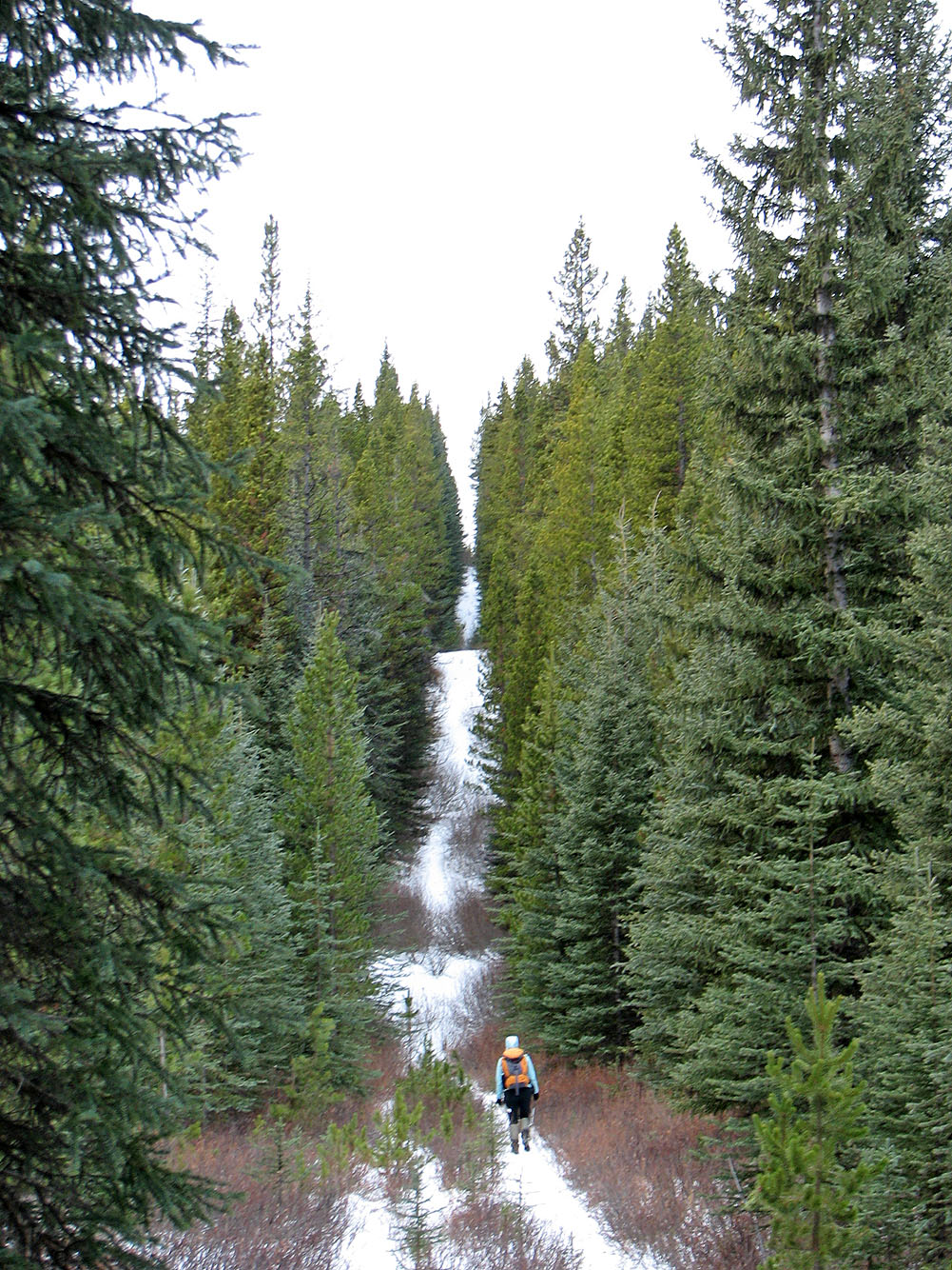
Hiking up the two steep hills on the cutline
The drainage before the south spur
Hiking up the drainage
It became impossible to stay on the west side of the drainage so ...
...we crossed the drainage and followed an animal trail. Eventually we ended up
on the shoulder ahead on the skyline.
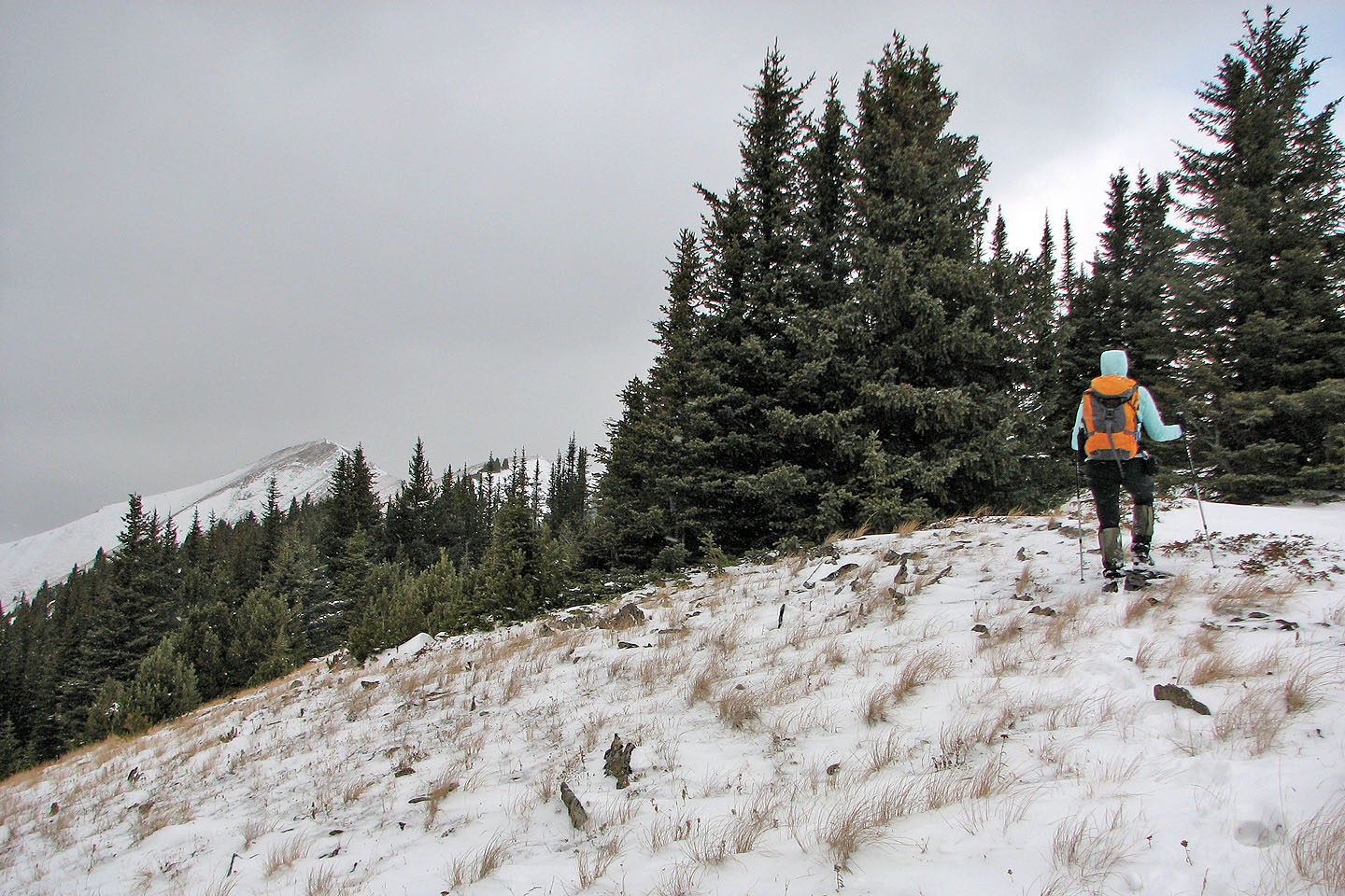
After the trail deteriorated, we took to the open slope
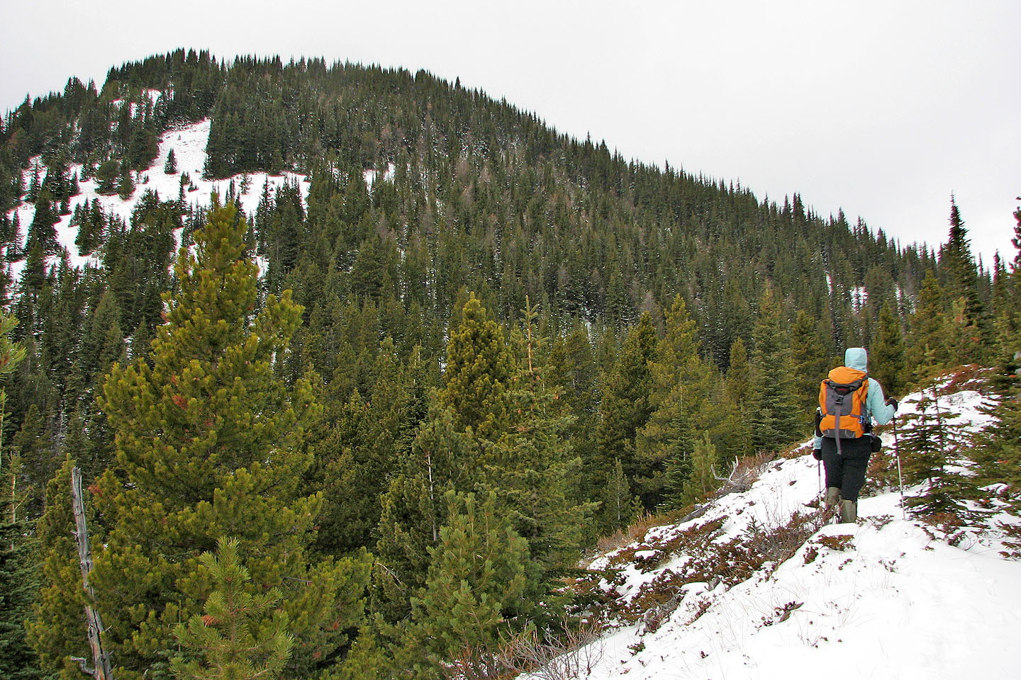
We followed the ridge to the shoulder on our left
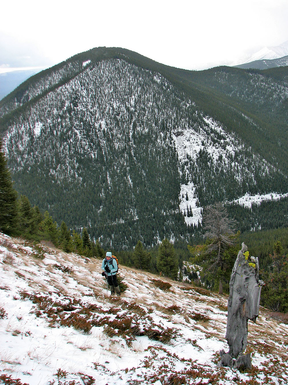
Partway up the shoulder, looking down where we had been
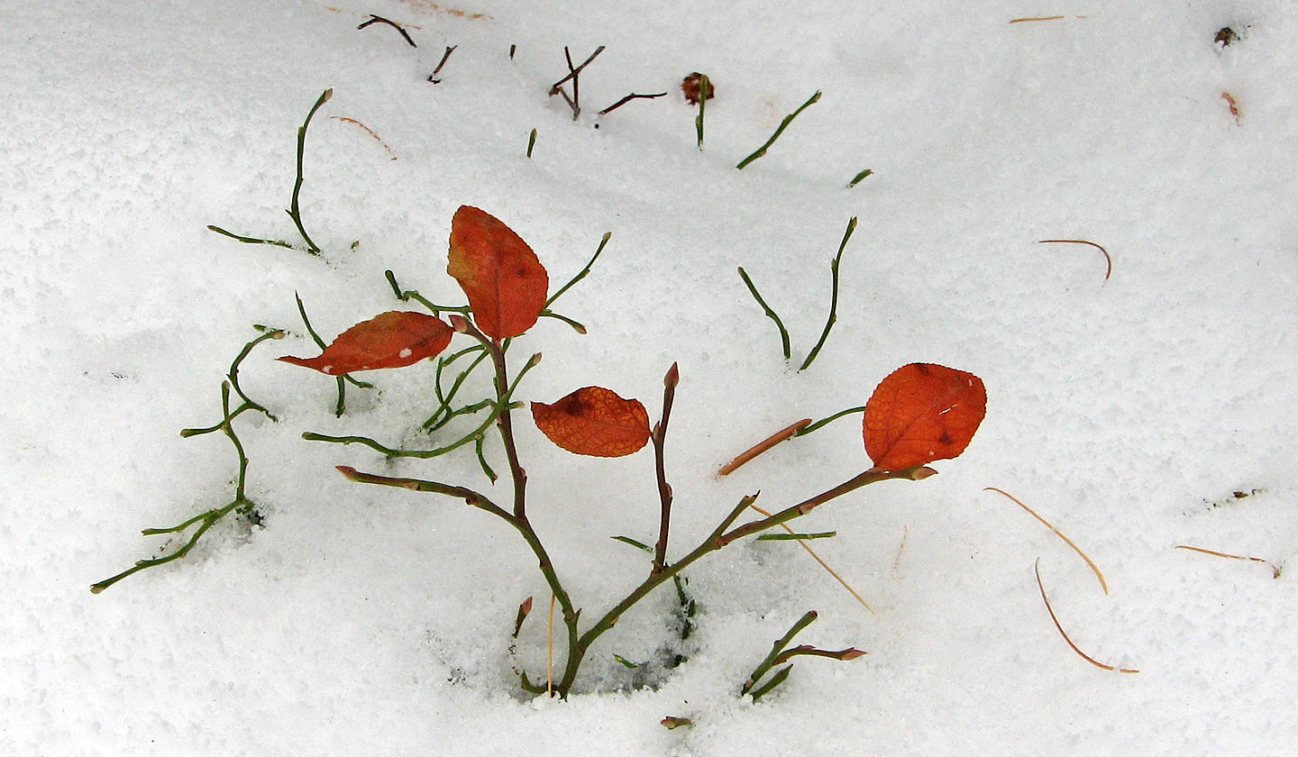
Last of the fall colours
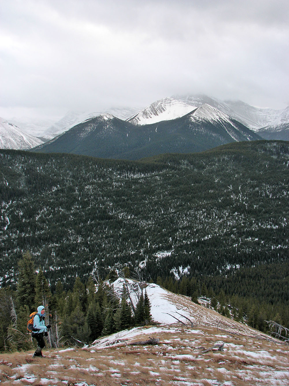
After reaching the southeast ridge, we can see the summit (far left)
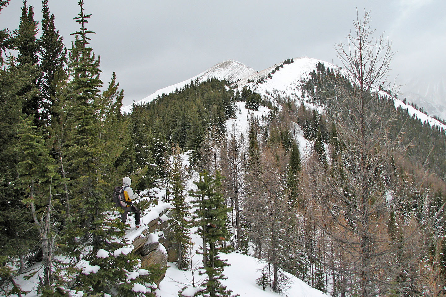
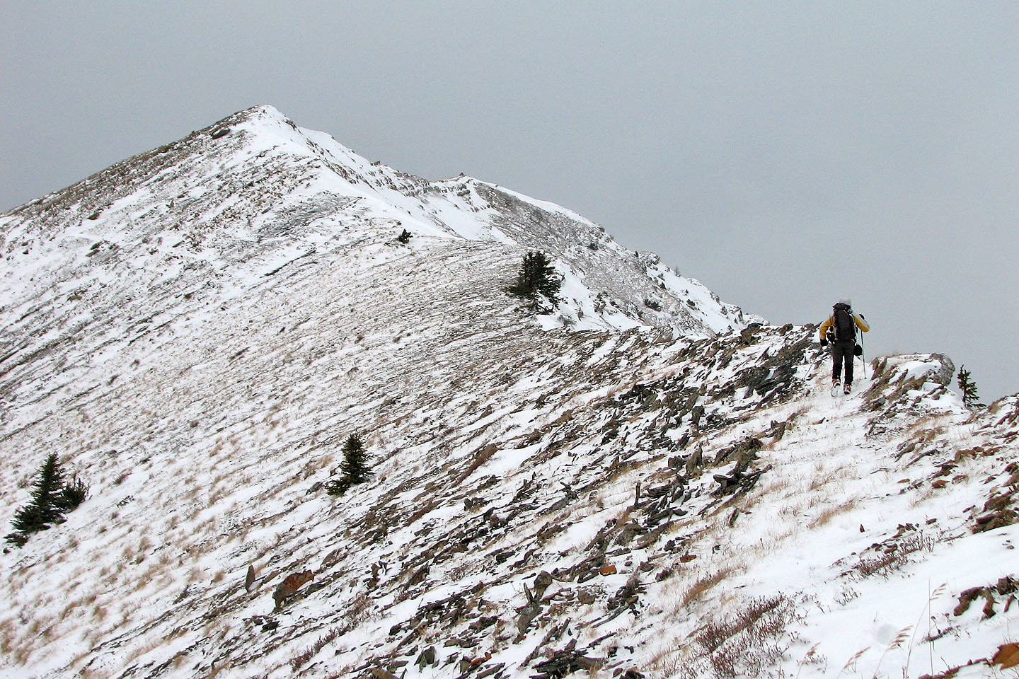
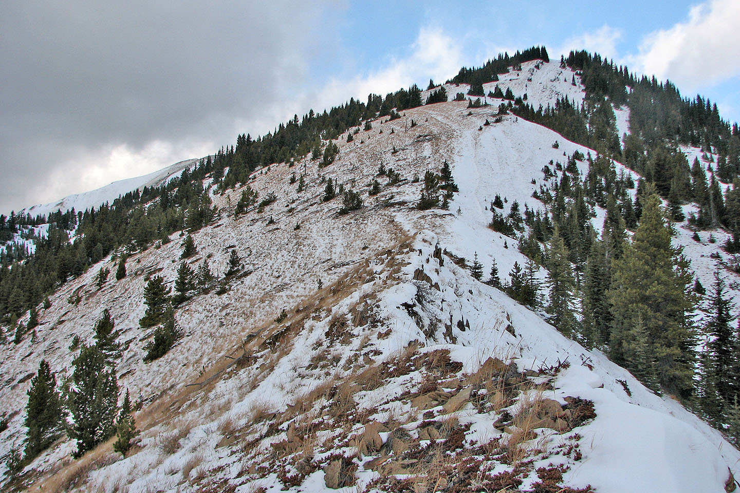
The ridge is treed for a short way
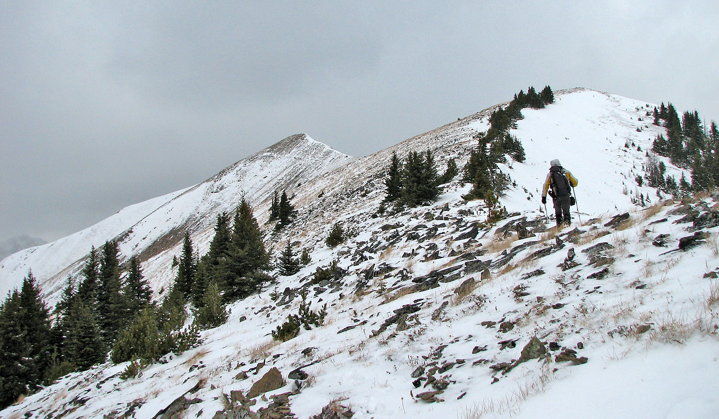
The way is clear after the trees
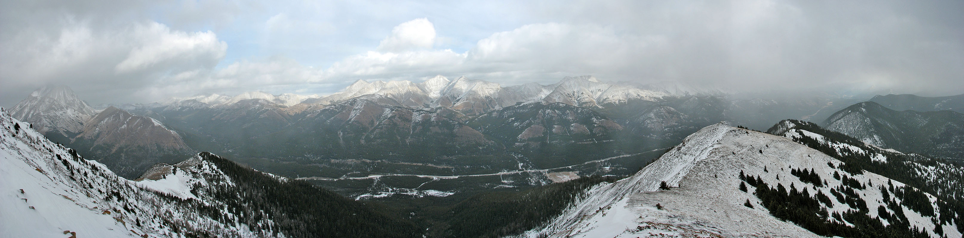
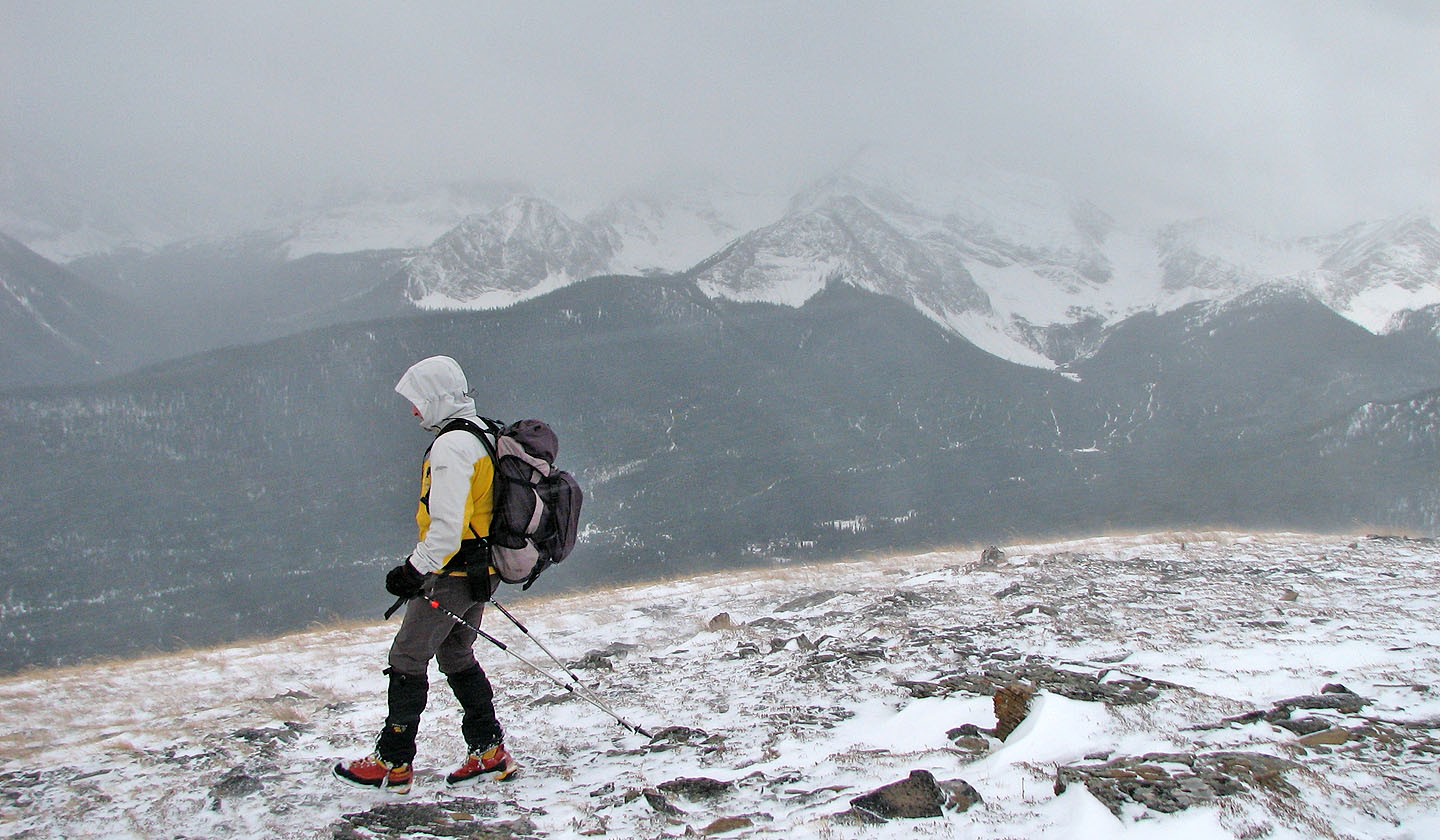
Poor weather limited the view of surrounding peaks
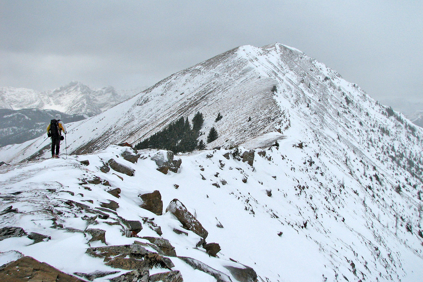
Leaving the high point before the summit
Last stretch to the summit
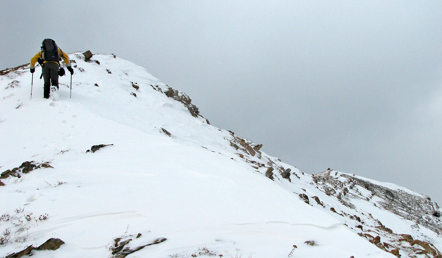
Kicking into the snow. Summit is on the right.
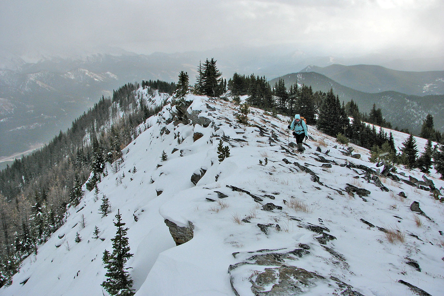
Looking back along the ridge
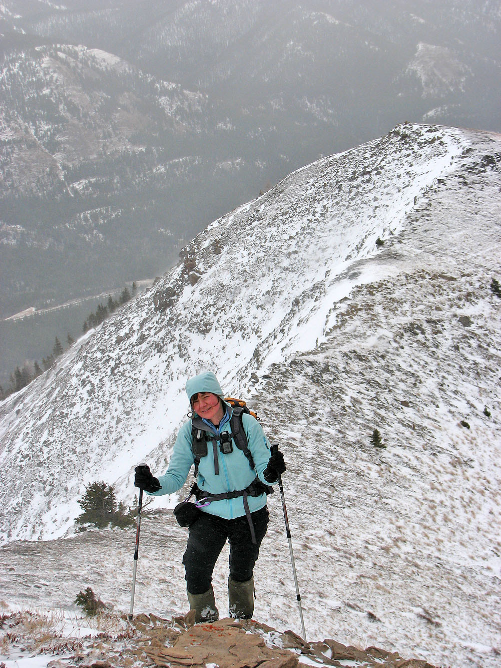
Dinah reaches the summit
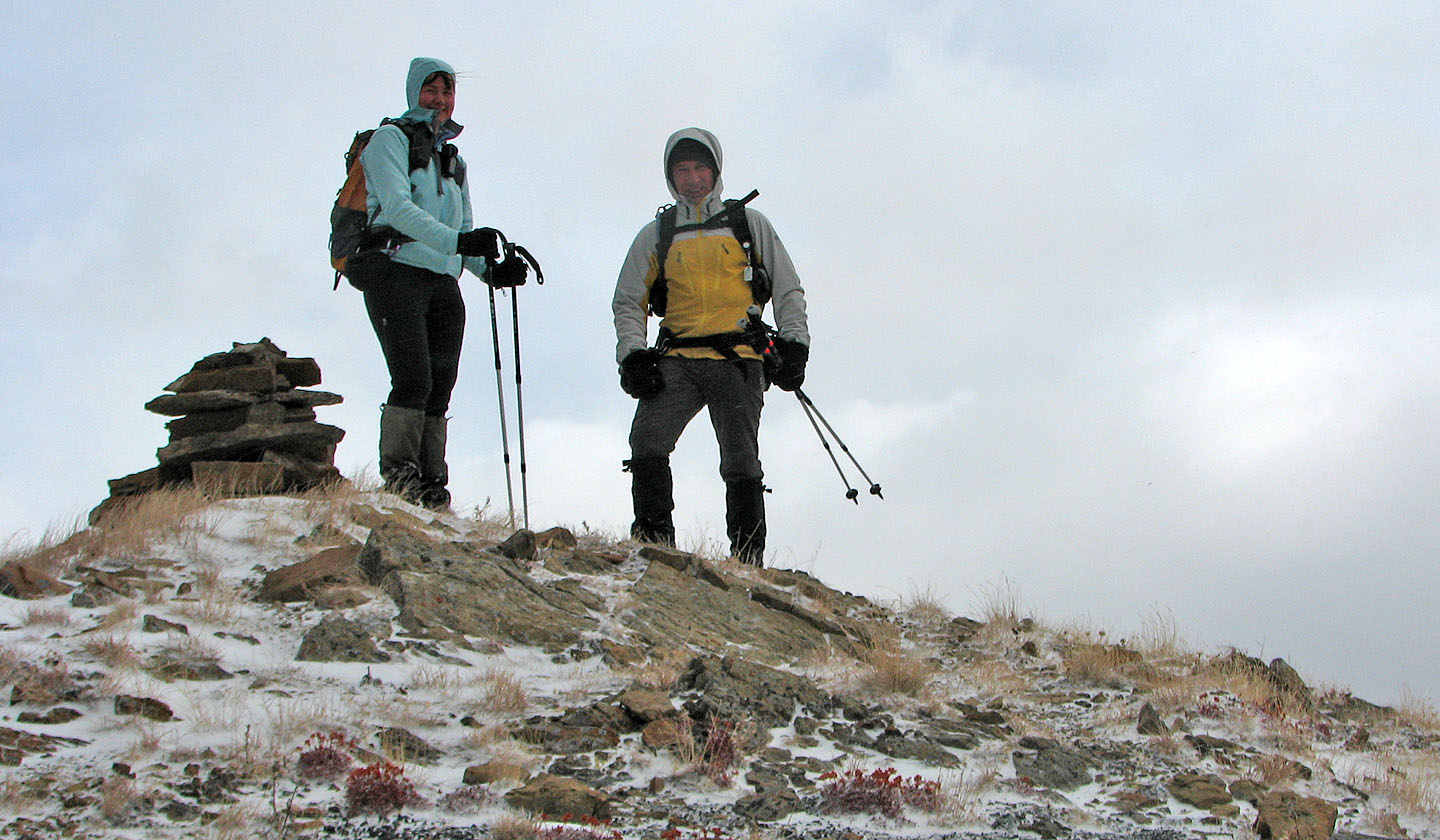
The summit
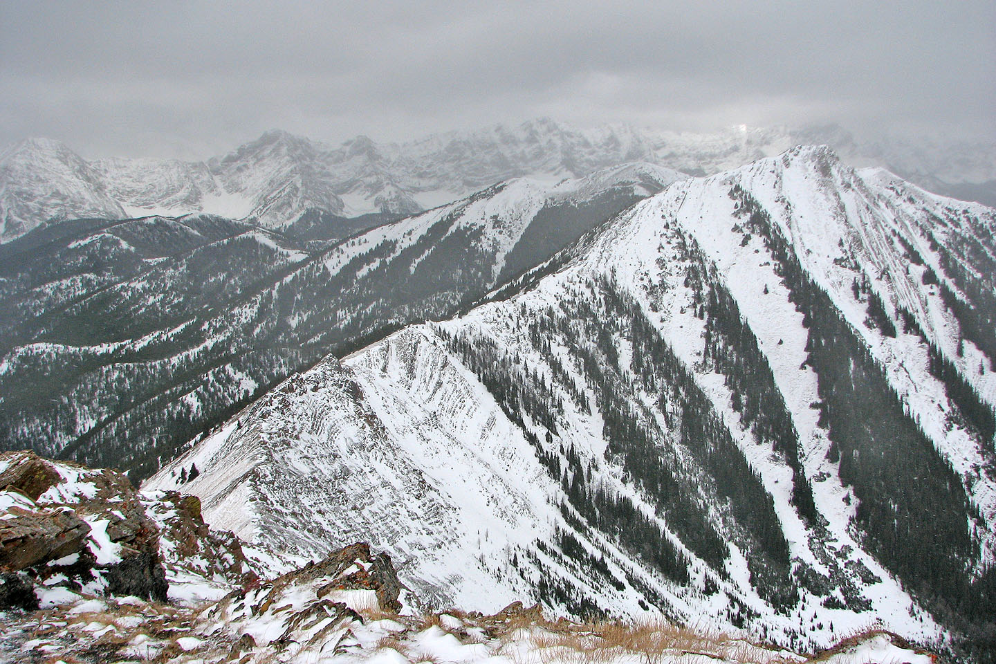
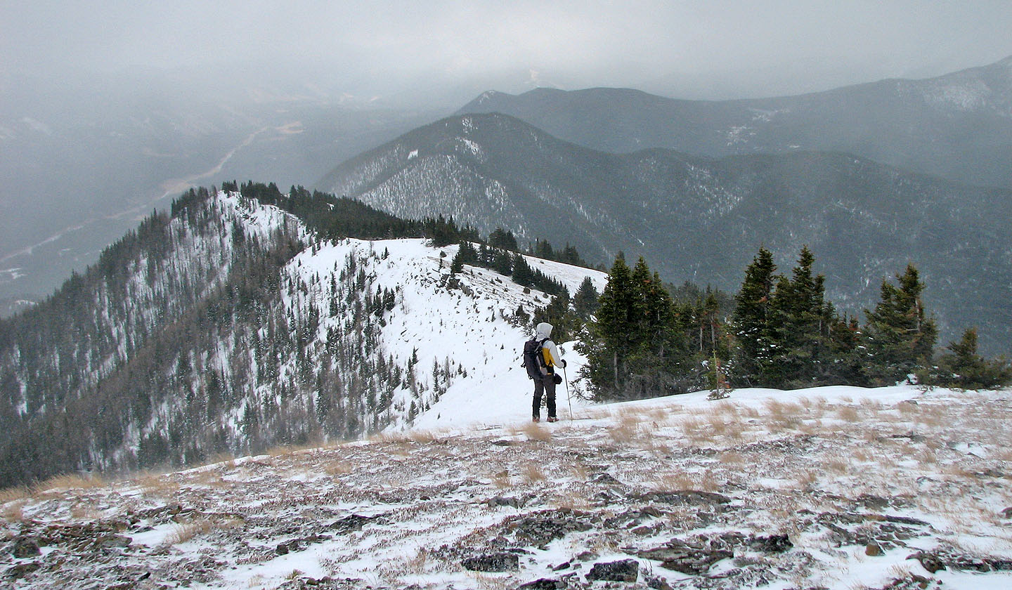
The ridge continues to the centre peak
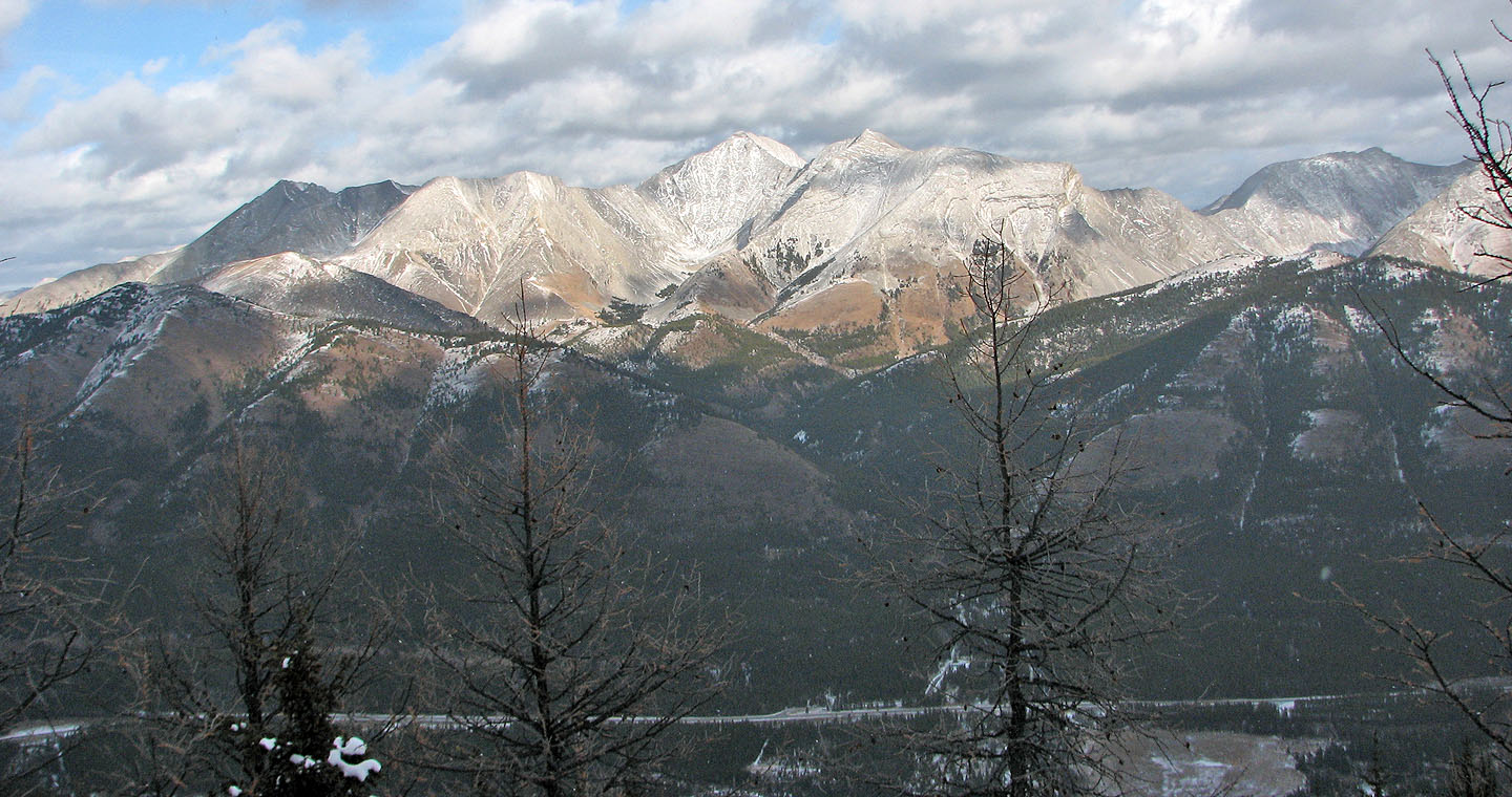
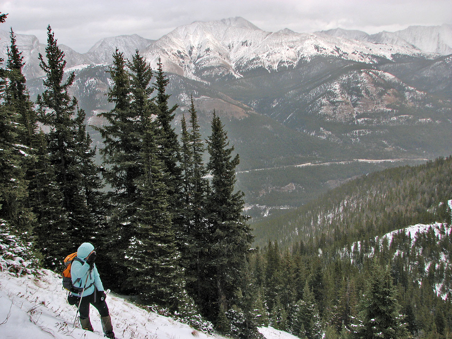
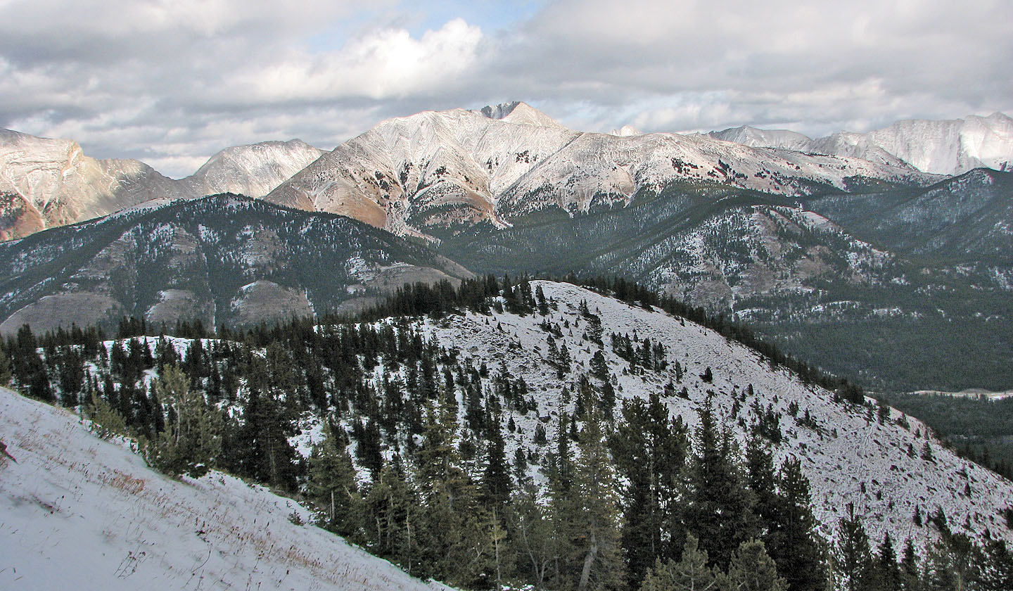
We hiked under gray skies and in blowing snow, but the peaks on the other side of the highway
basked in sunlight
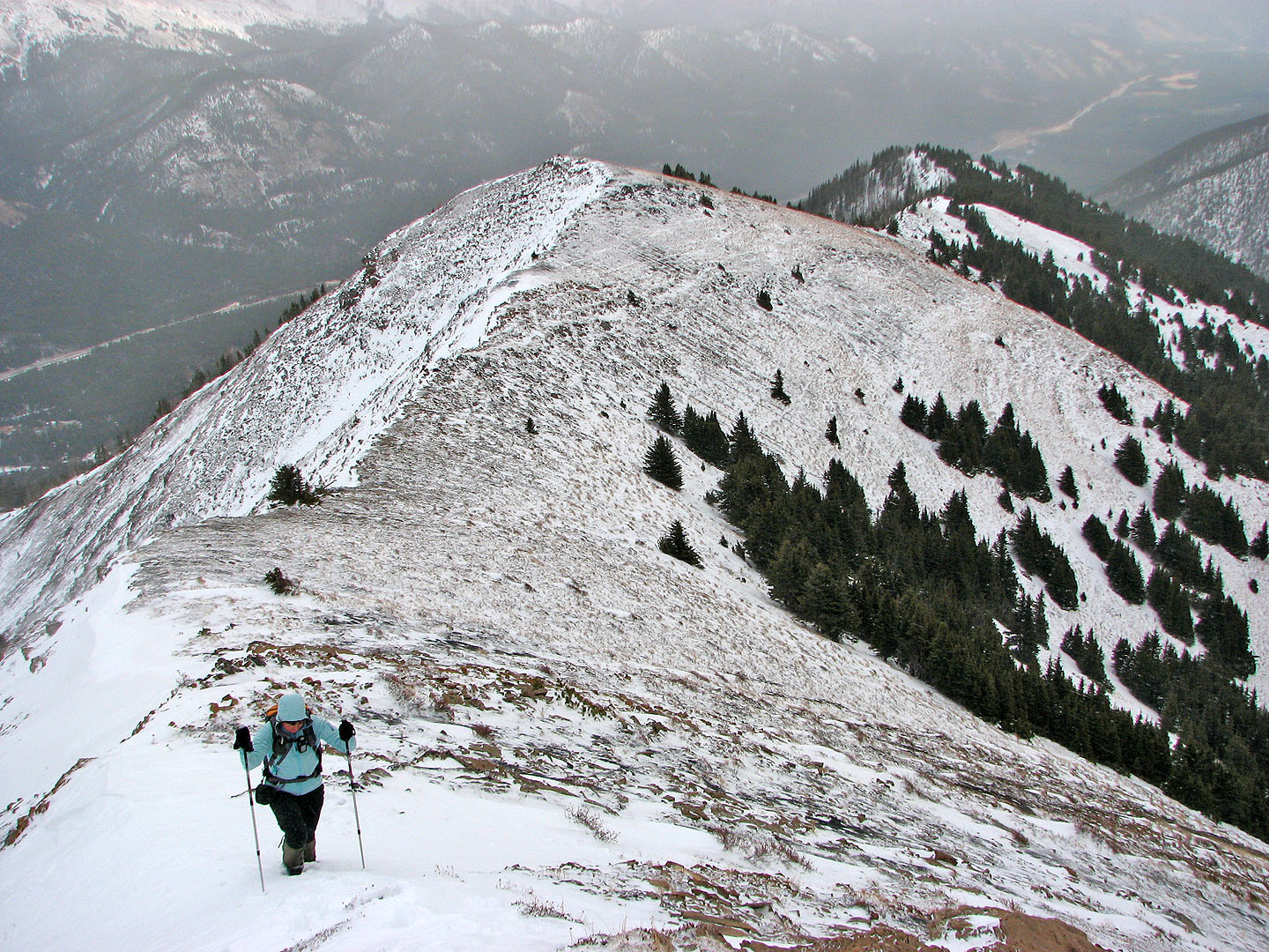
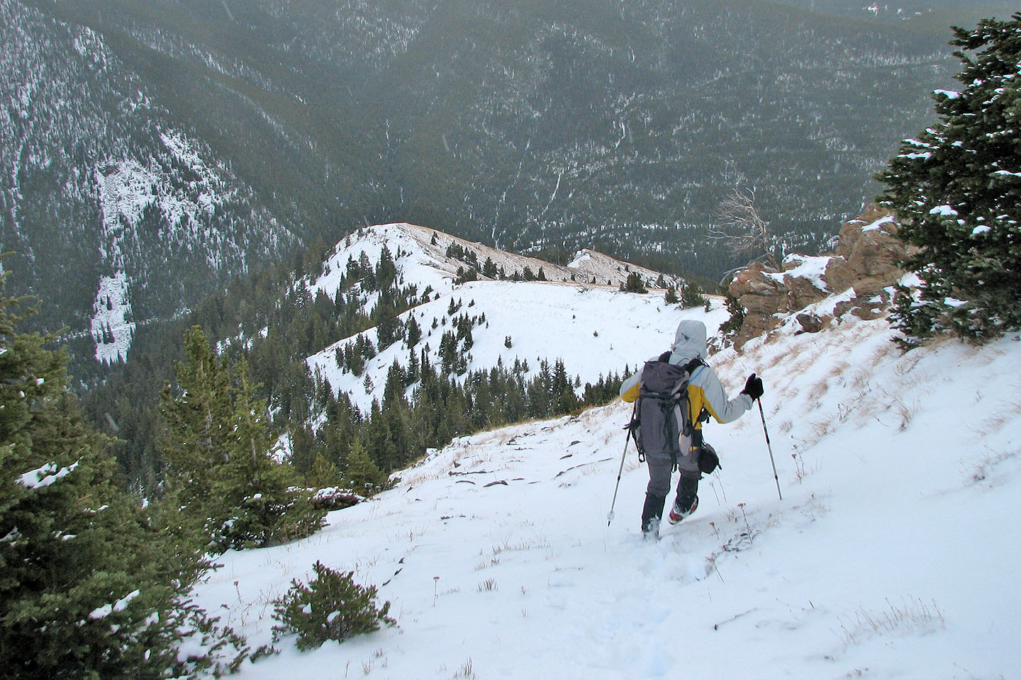
Starting back down
Following the ridge back
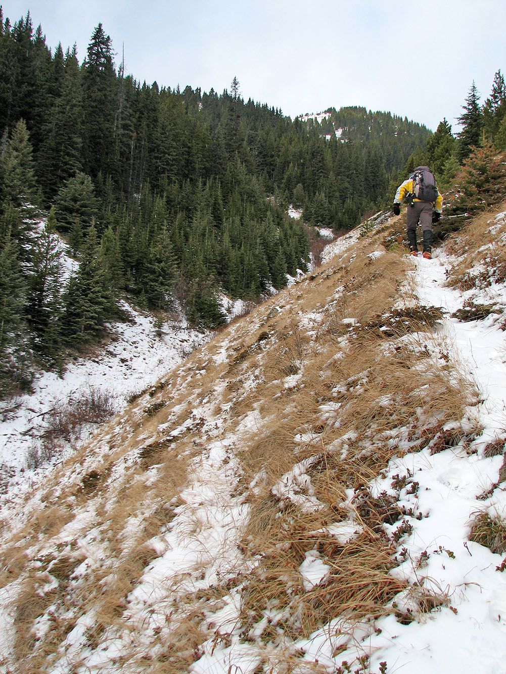
We followed the south spur back down to the Odlum Creek trail
Looking back at the notch in the trees that we came down
Looking northwest at Lineham Ridge.
Below is the ridge we ascended from the drainage.
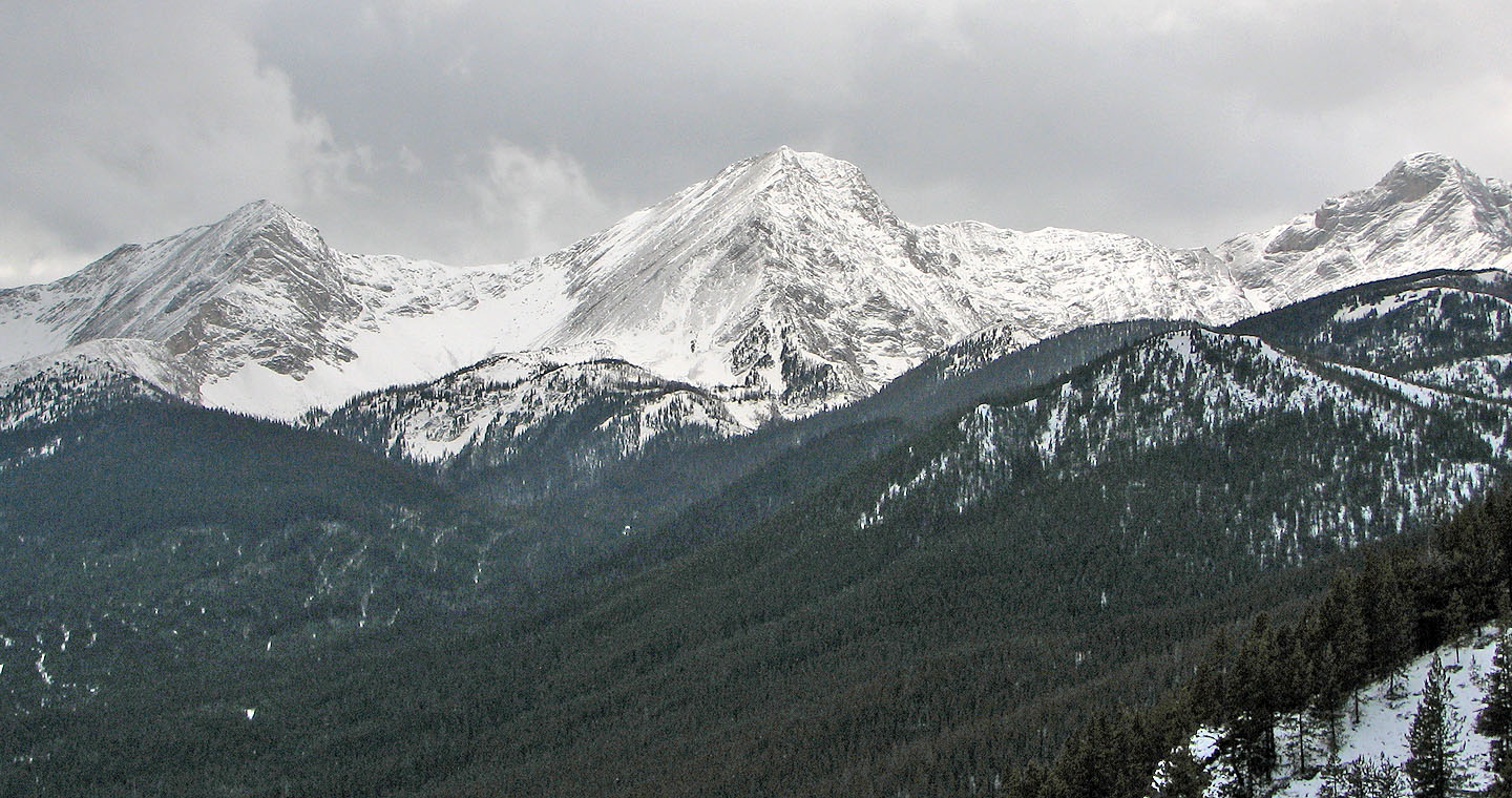
Mount Odlum (centre) to the west
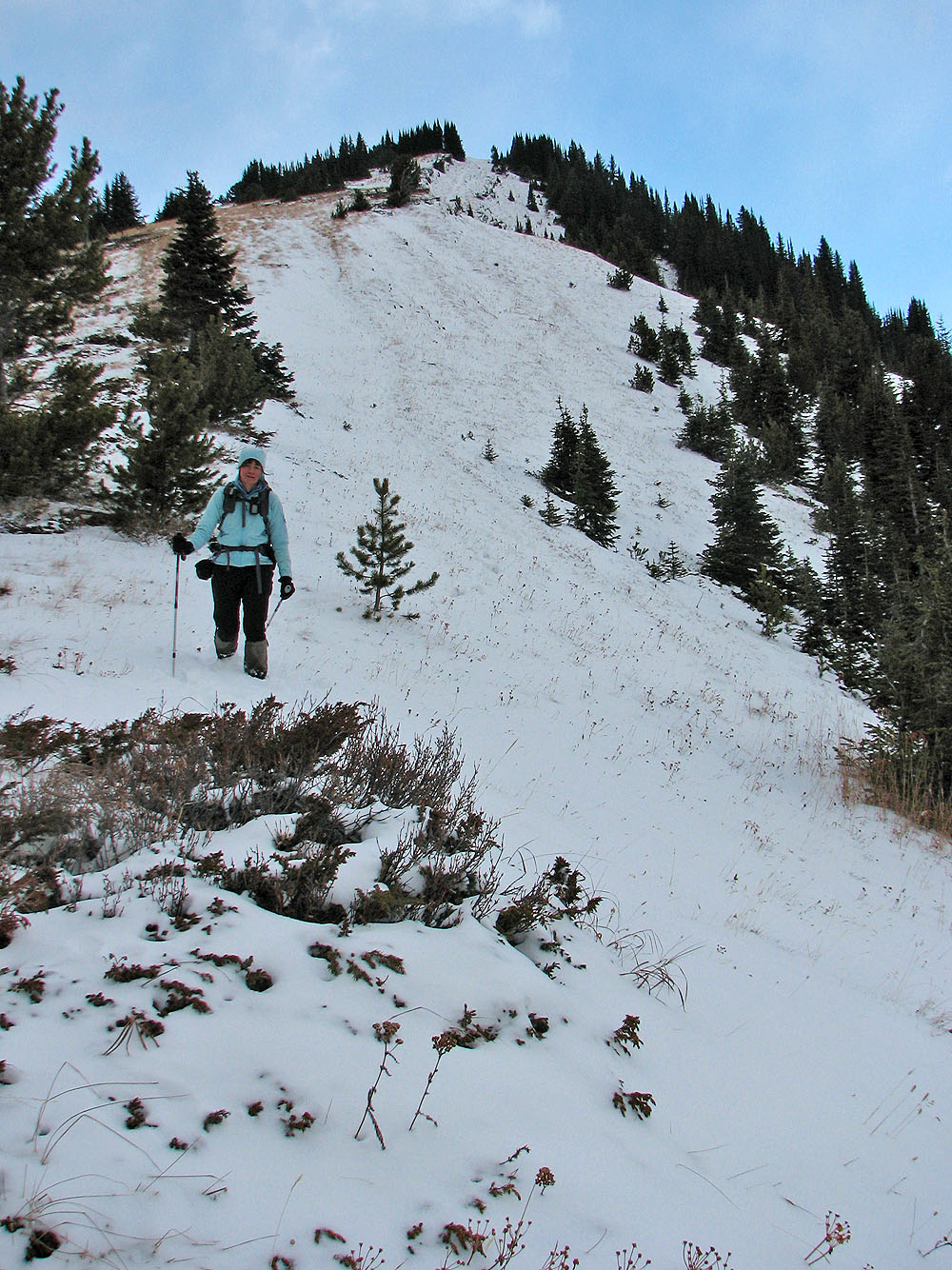
Looking back up the south spur
The south spur splits lower down. We took the open right side (seen here).
The East Peak and Bishop Ridge are in the background.
82 J/7 Mount Head