bobspirko.ca | Home | Canada Trips | US Trips | Hiking | Snowshoeing | MAP | About
Chaffen Ridge East Peak
Bob Creek Wildland, Alberta
December 6, 2008
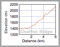
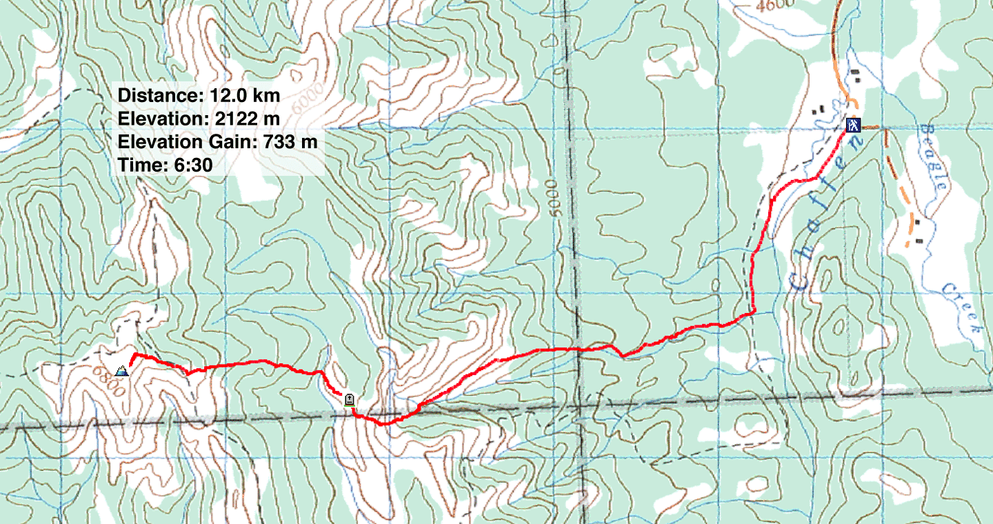
Distance: 12.0 km (7.5 mi)
Cumulative Elevation Gain: 788 m (2585 ft)
Chaffen Ridge lies west of Whaleback Ridge, and although traversing its entirety wouldn't be practical during the short days of December, its east peak appeared to be a worthy ascent.
Dinah and I drove nearly to the end of Chimney Rock Road off of Highway 22, south of Chain Lakes, and parked on the corner where the road bends ninety degrees left, the same trailhead we used for Chimney Rock and White Ridge. A gated fence barred access to a road going south and displayed faded signs warning: “No Fire,” “No Camping,” and “No Trespassing.” We hadn't noticed the “No Trespassing” sign before but having parked here undisturbed on other occasions I assumed it was intended for hunters.
As we started gearing up, a truck suddenly drove up and the driver asked if we were hiking. After affirming we were and explaining what we were doing, he suggested the trail we should take. (I had already mapped our trip, but I politely listened.) After the truck disappeared back to whatever farm it came from, we shouldered our packs and set out.
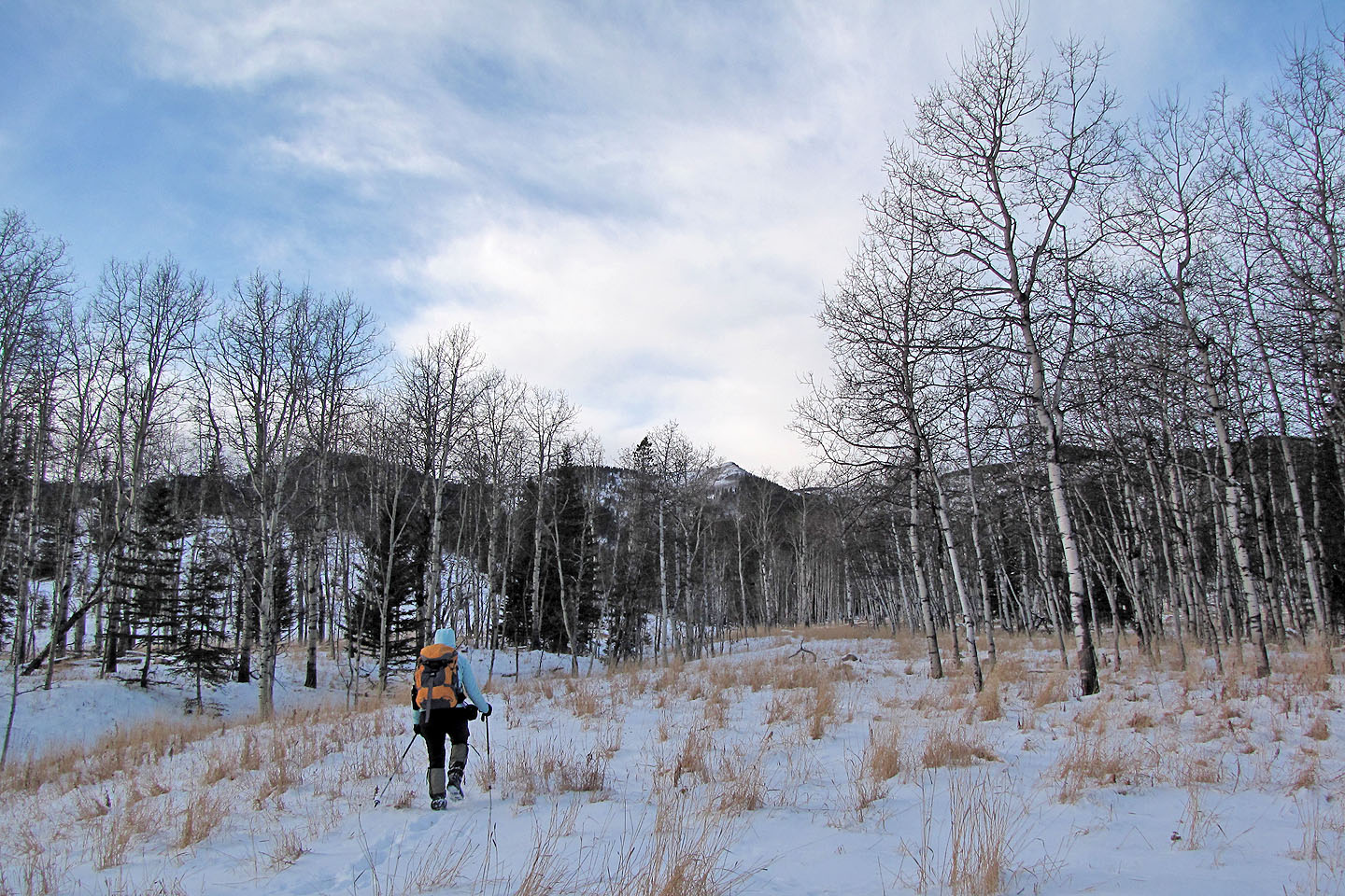
After hopping the fence, we walked down the road 1.7 km to a drainage. Our route would follow the north side of this drainage so we started up it. I was expecting an off-trail hike so I was pleasantly surprised to find trails that followed alongside the drainage. Eventually we settled on a single track that ascended well above the drainage and headed toward the open slopes of a nameless ridge. We left the trail before it crossed the drainage and ascended the ridge.
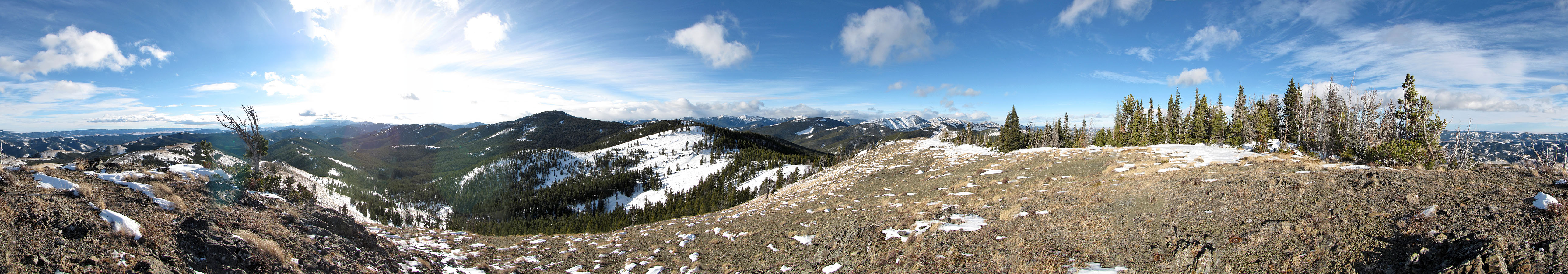
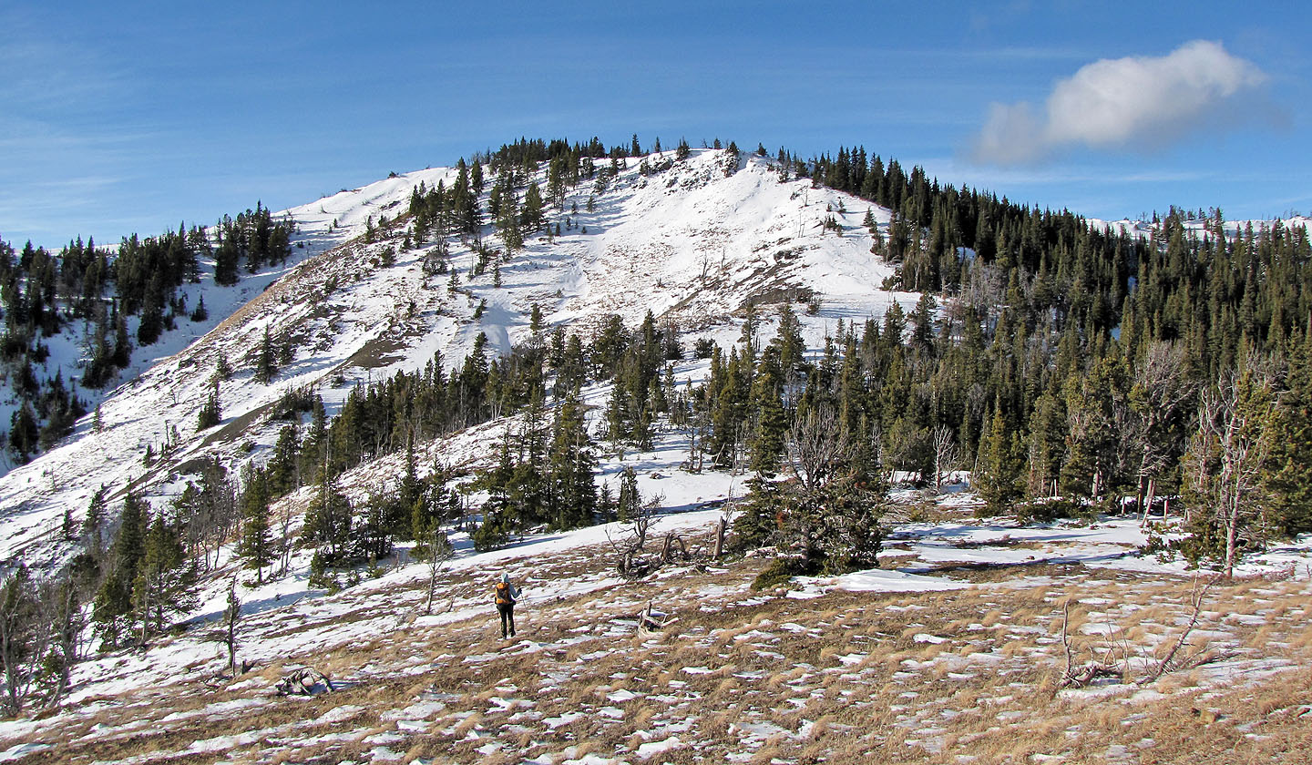
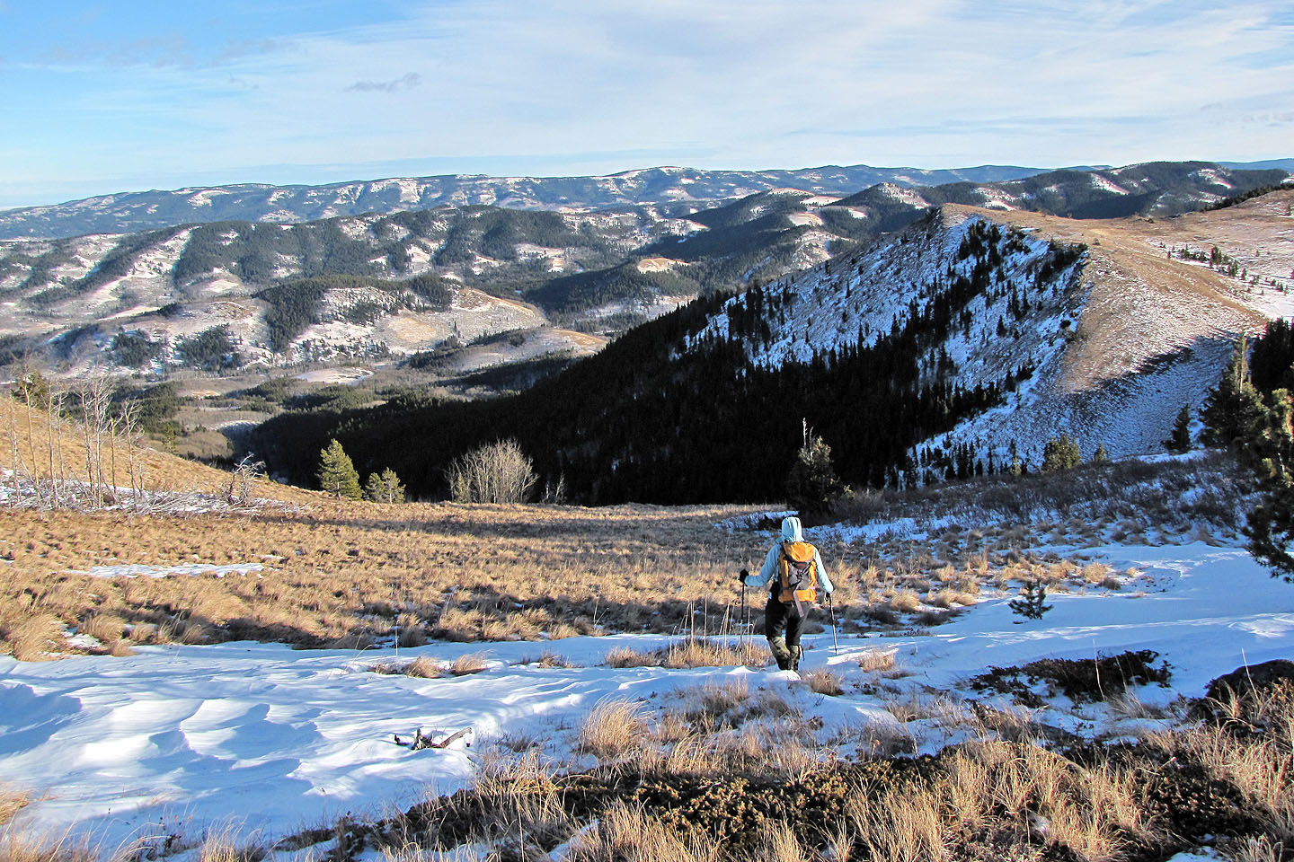
From the ridge, we could see the east peak of Chaffen Ridge. We dropped down to a drainage and then ascended a treed ridge that led to the summit. Although not completely free of trees, it did provide good views of the mountains west. The west peak and highest point on Chaffen Ridge lay nearly 4 km west and 100 m higher, too far from where we stood. After looking around, we headed back the same way.
In 2015 I used the west approach to ascend the West Peak of Chaffen Ridge.
Postscript: Although I had no trouble accessing the cattle land, Gerry Richardson, Event Coordinator Calgary Outdoor Club, emailed me a caveat.
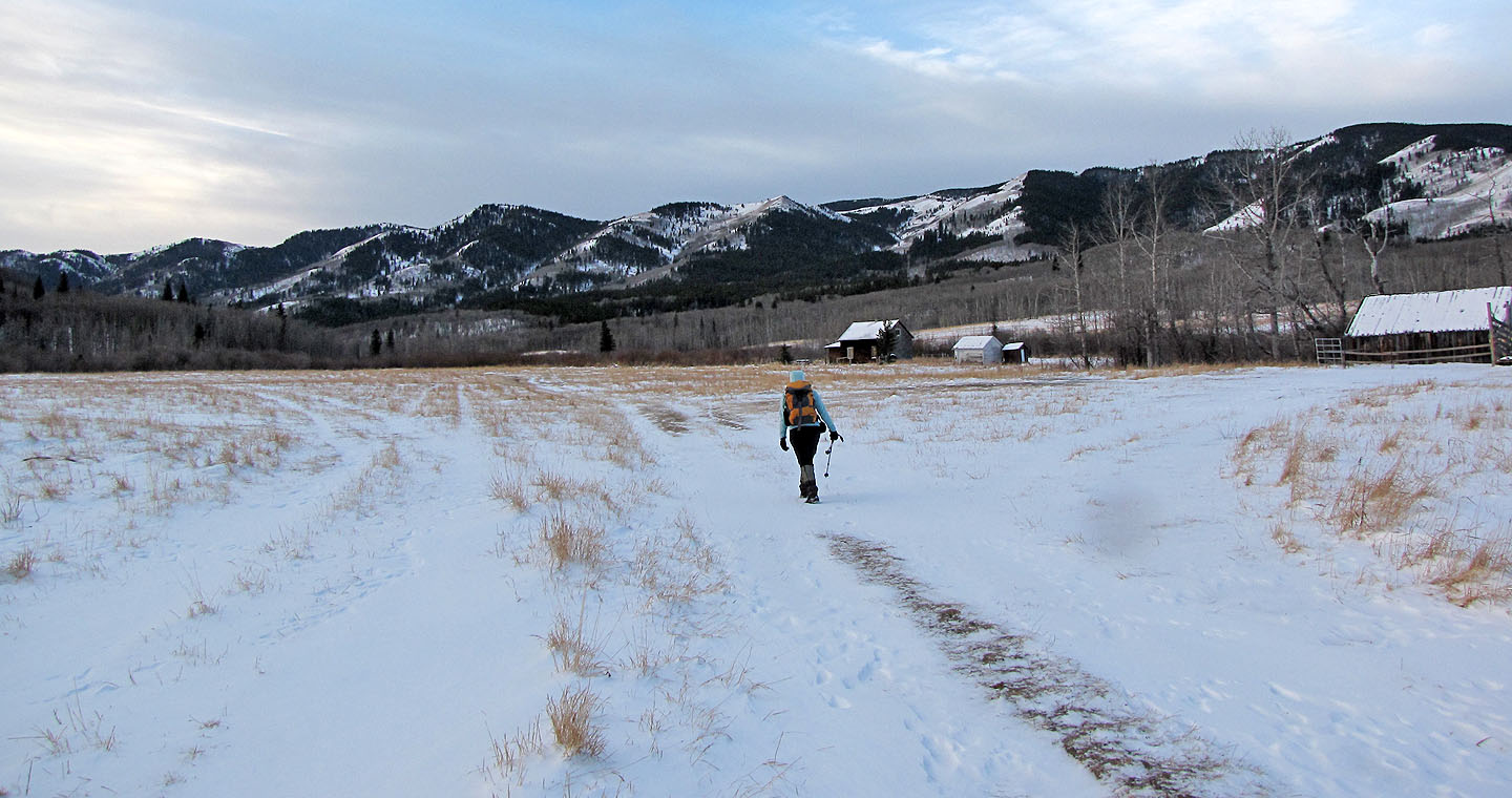
After parking, we started up the road. We're headed to the open slopes above the buildings.
After leaving the road we followed a drainage
We were pleased when we soon found a trail

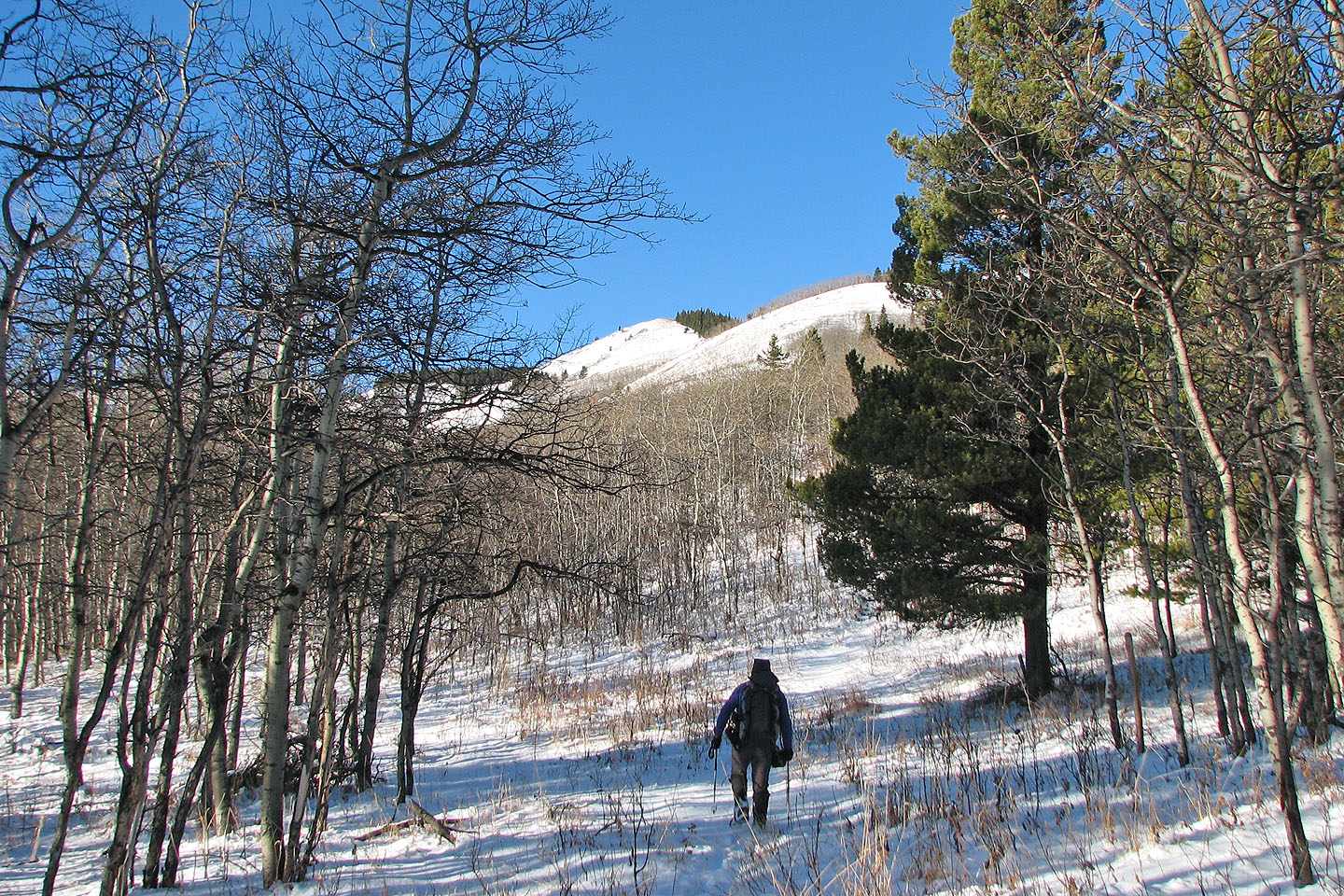
On track to reaching the open slopes
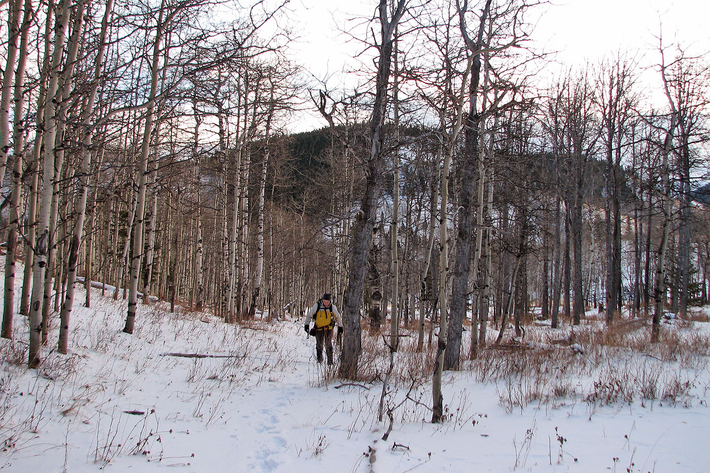
Hiking through a grove of aspens
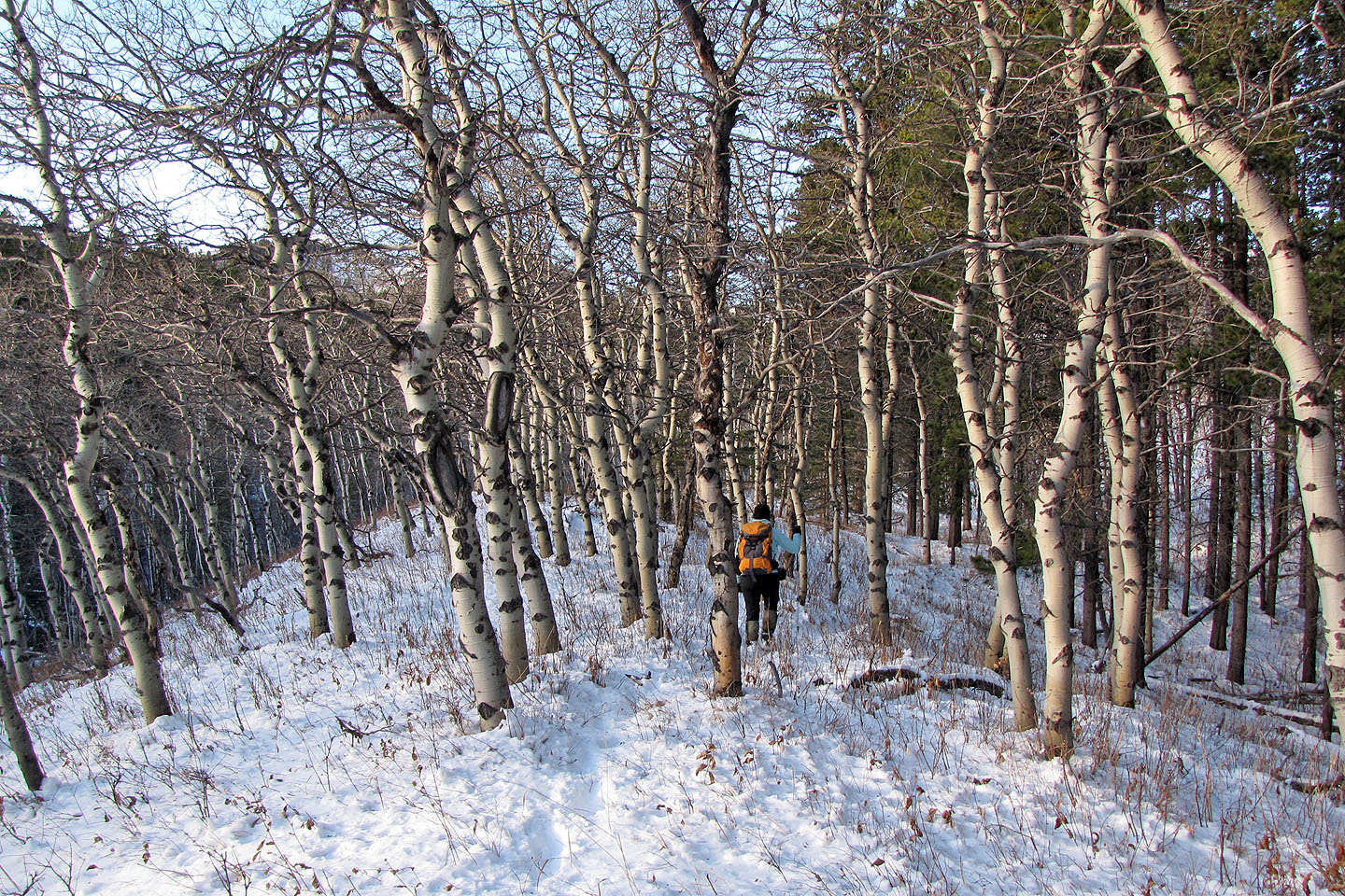
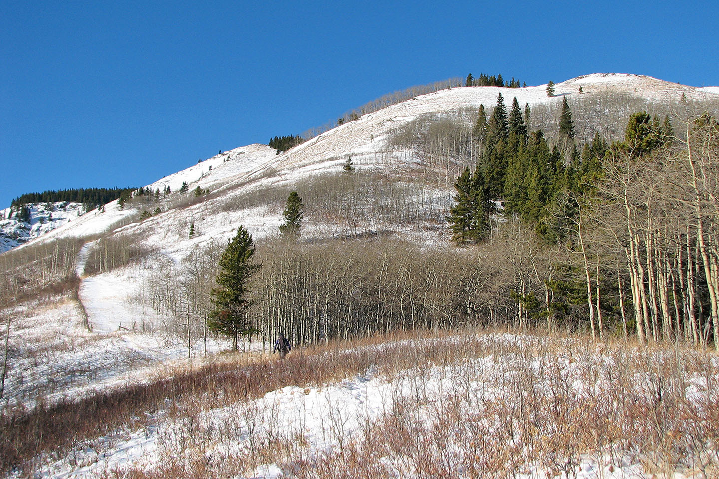
Nearing the open slopes
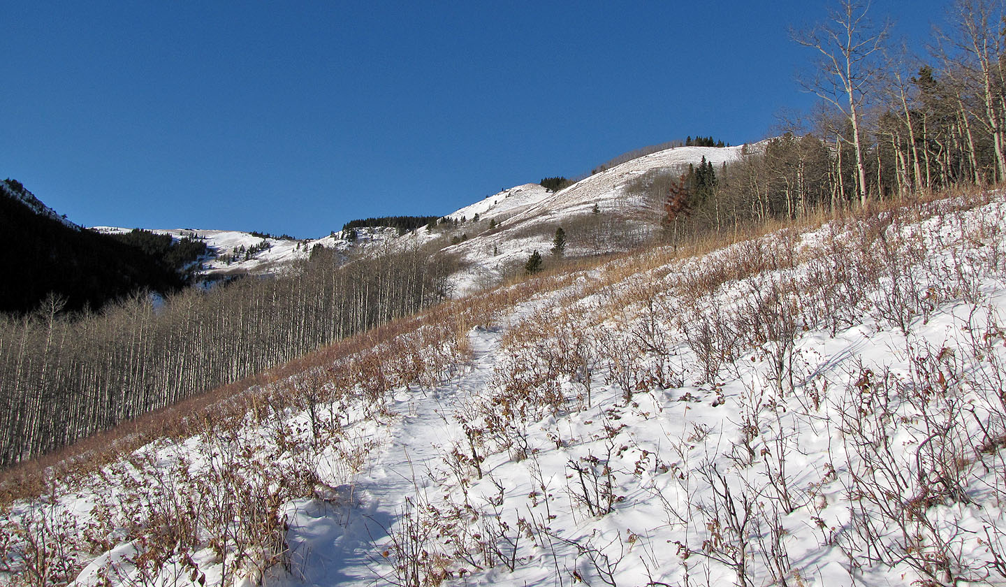
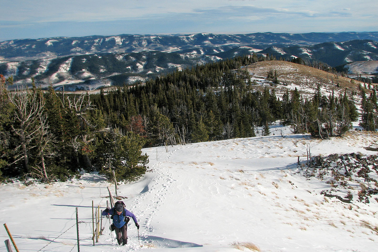
This trail extends to the end of this valley before crossing the drainage and veering left
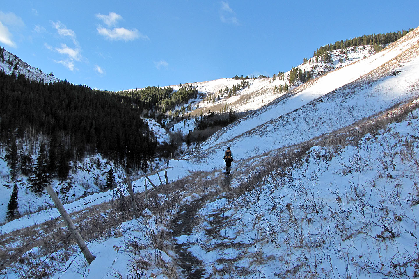
Ahead, the trail follows a fence
Whaleback Ridge left and
Chimney Rock far right
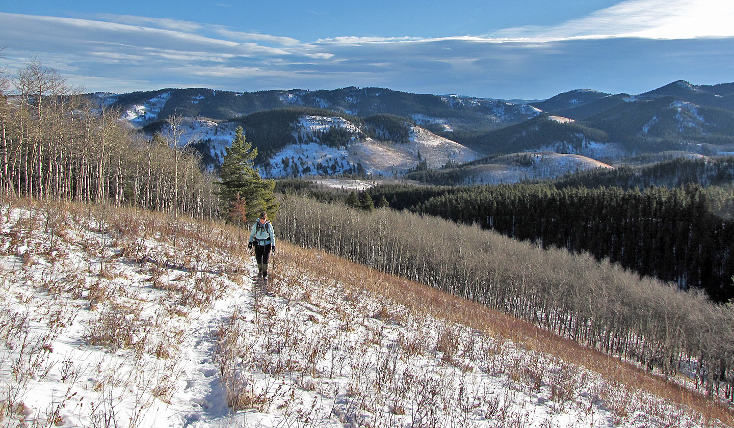
We continued hiking up the trail
We left the trail soon after crossing this side drainage
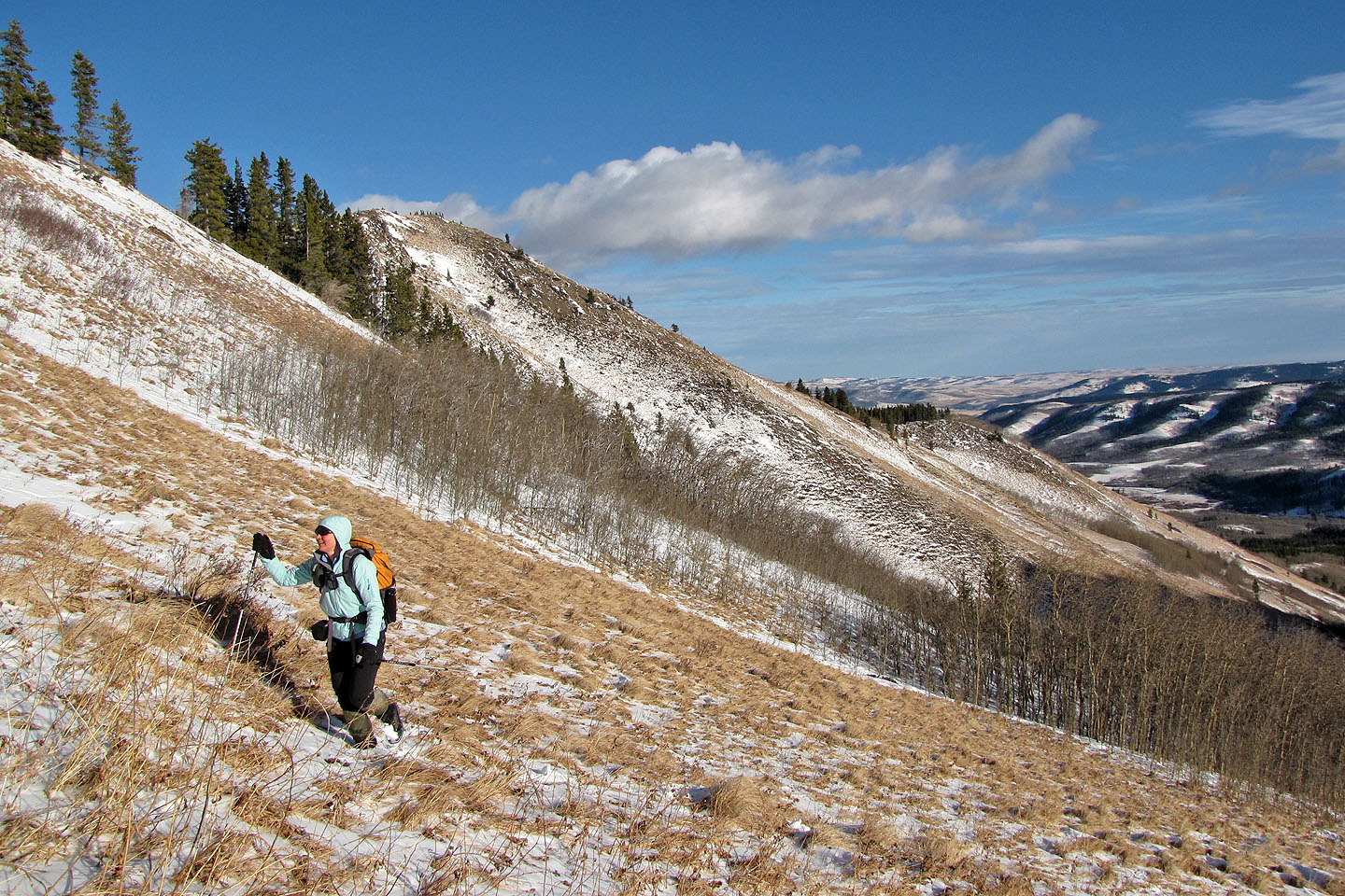
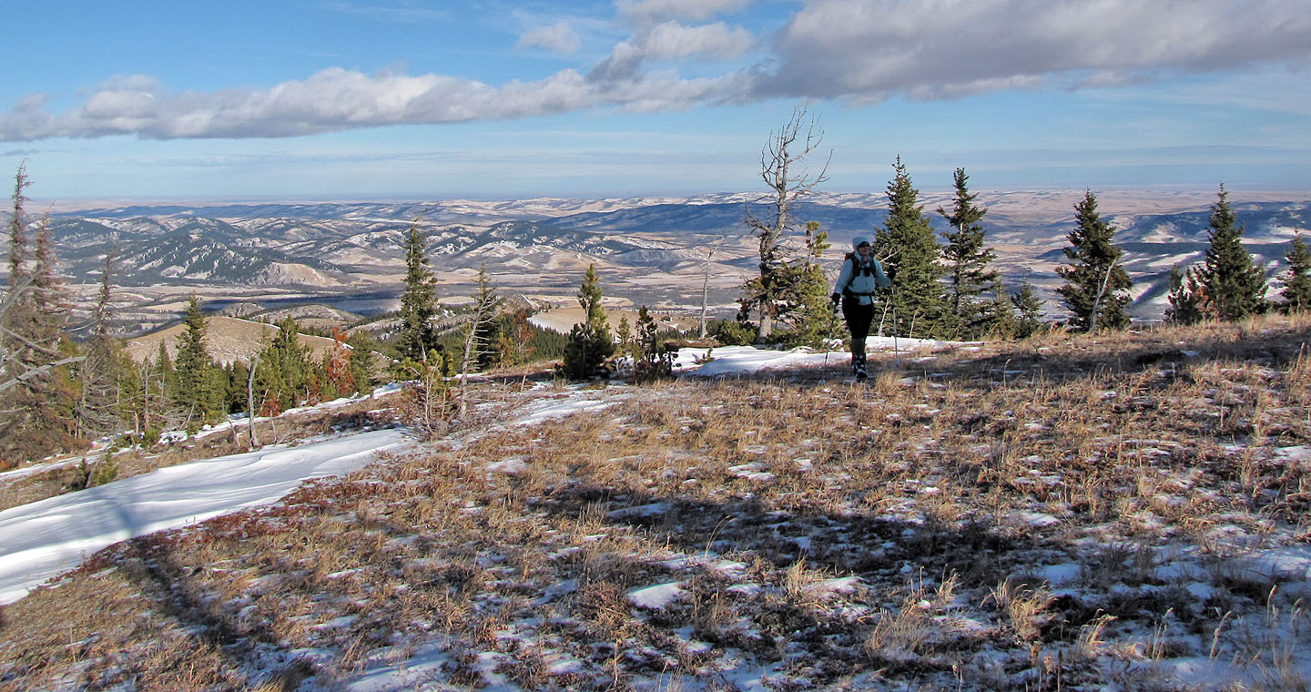
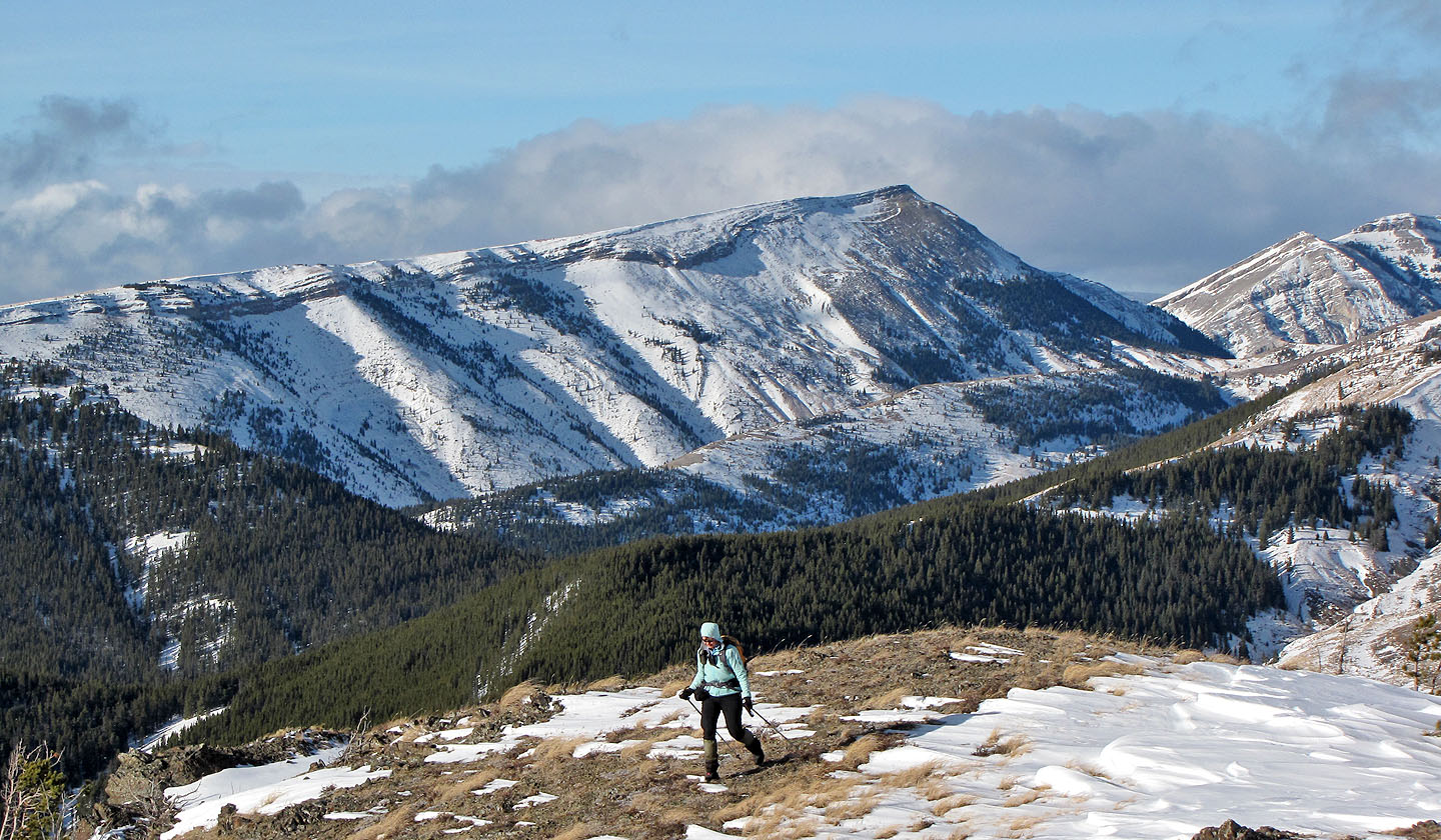
Hiking up a grassy slope after leaving the trail
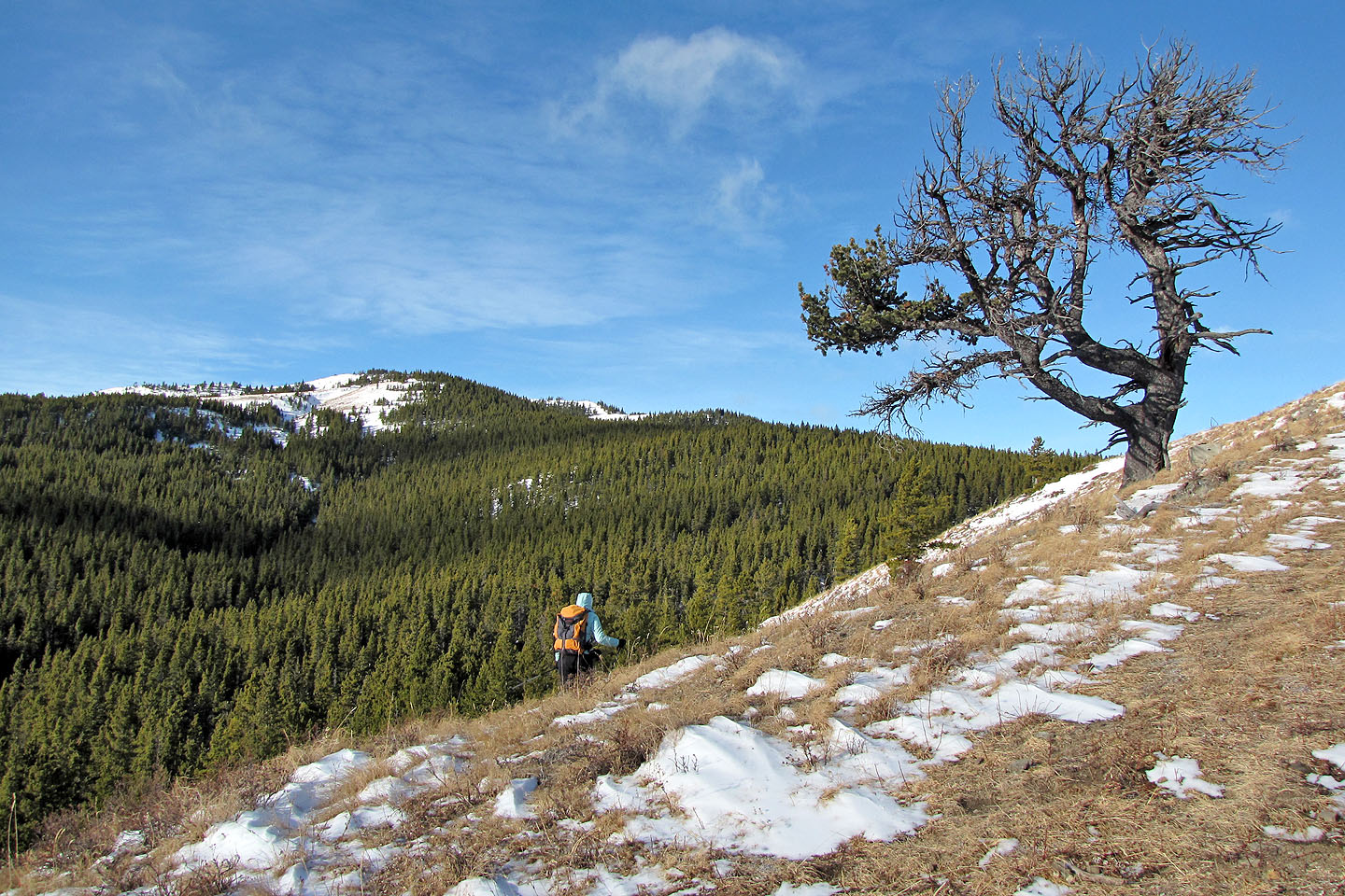
We passed a solitary tree on our way to the east peak (left)
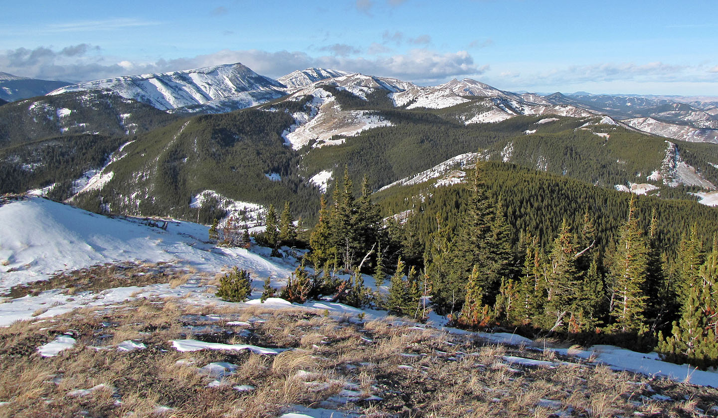
From a break in the trees we could see the grassy ridge we were on
Looking down a ridge running south. White Ridge is on the left.
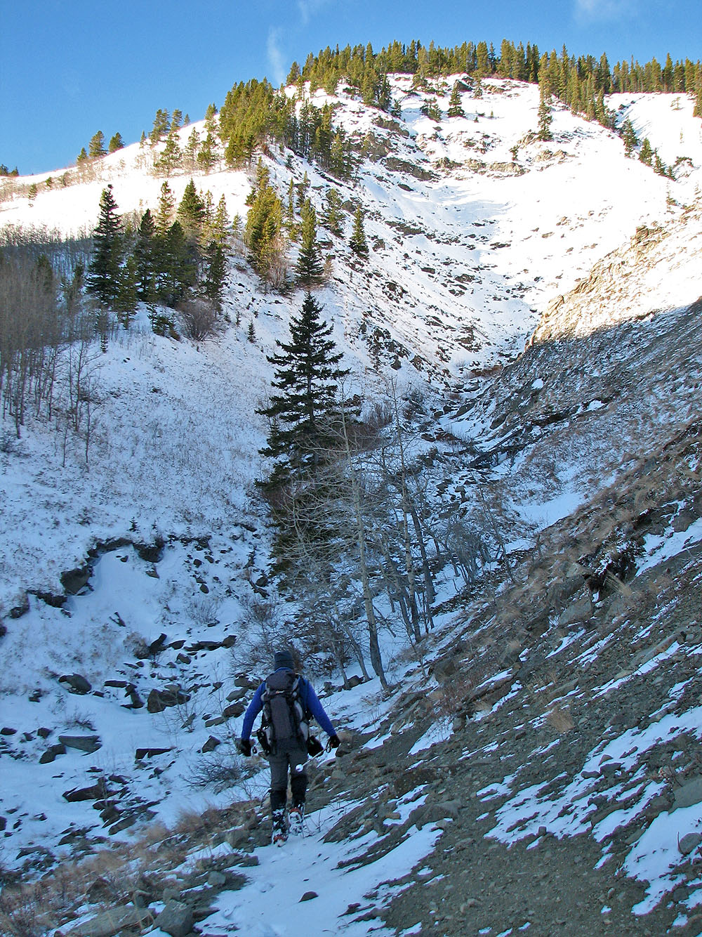
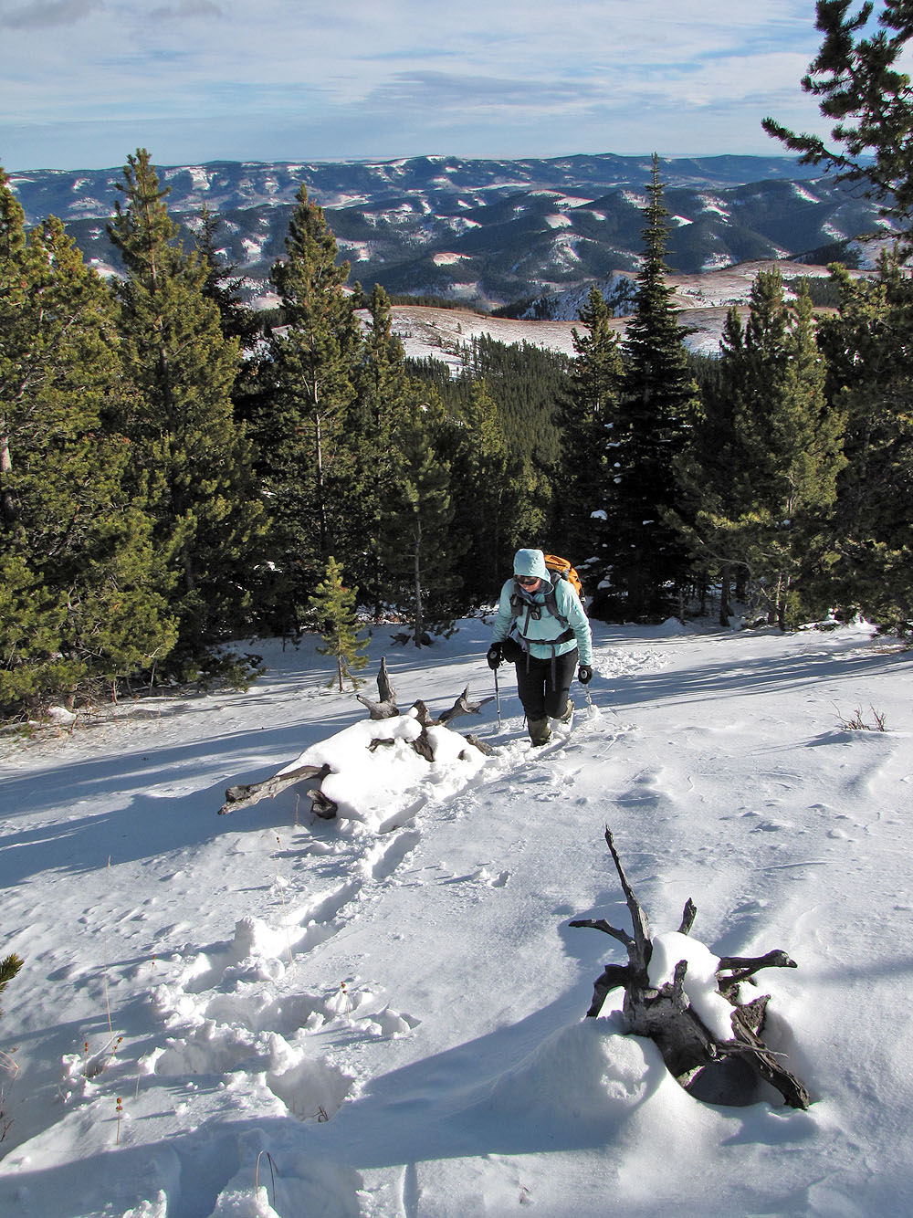
Heading to the summit
Another fence reminds us we are not far from civilization
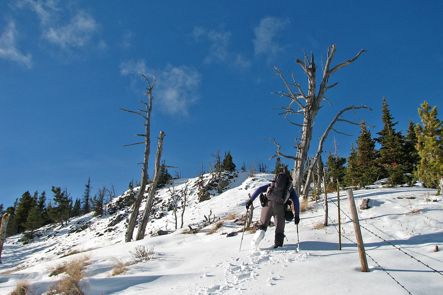
The final stretch before the summit
We arrived on the summit
On the summit
Coffin Mountain,
Mount Livingstone,
Sheep Mountain and
Saddle Mountain
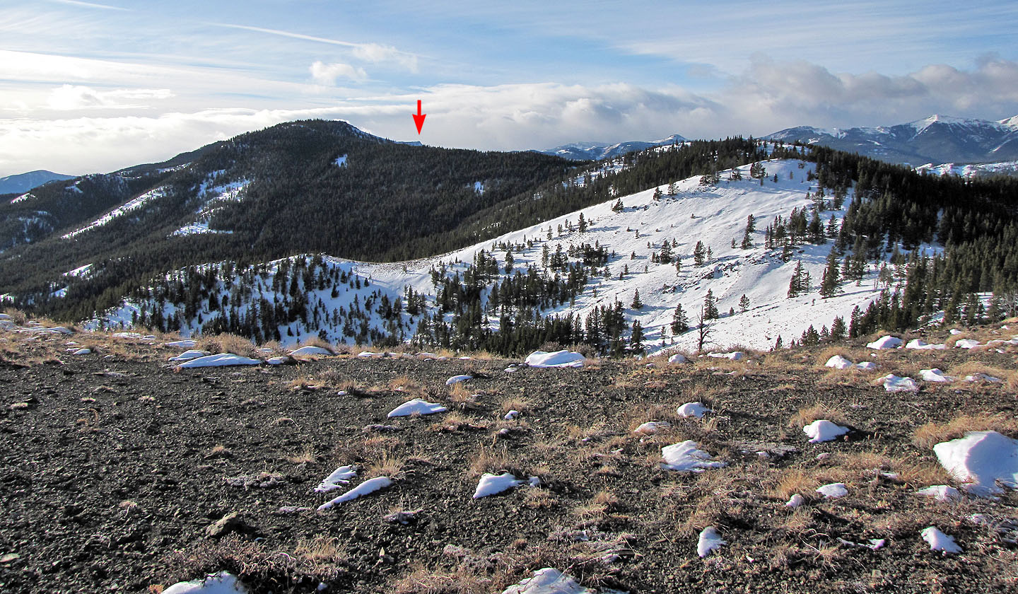
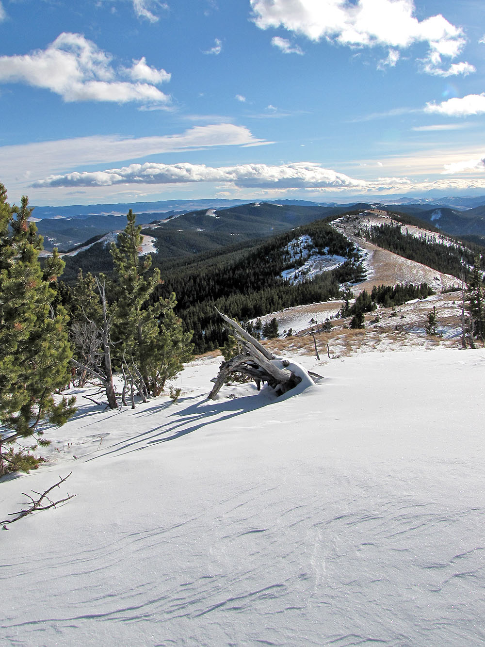
Chaffen Ridge continues southwest. The
West Peak is
barely visible (mouse over).
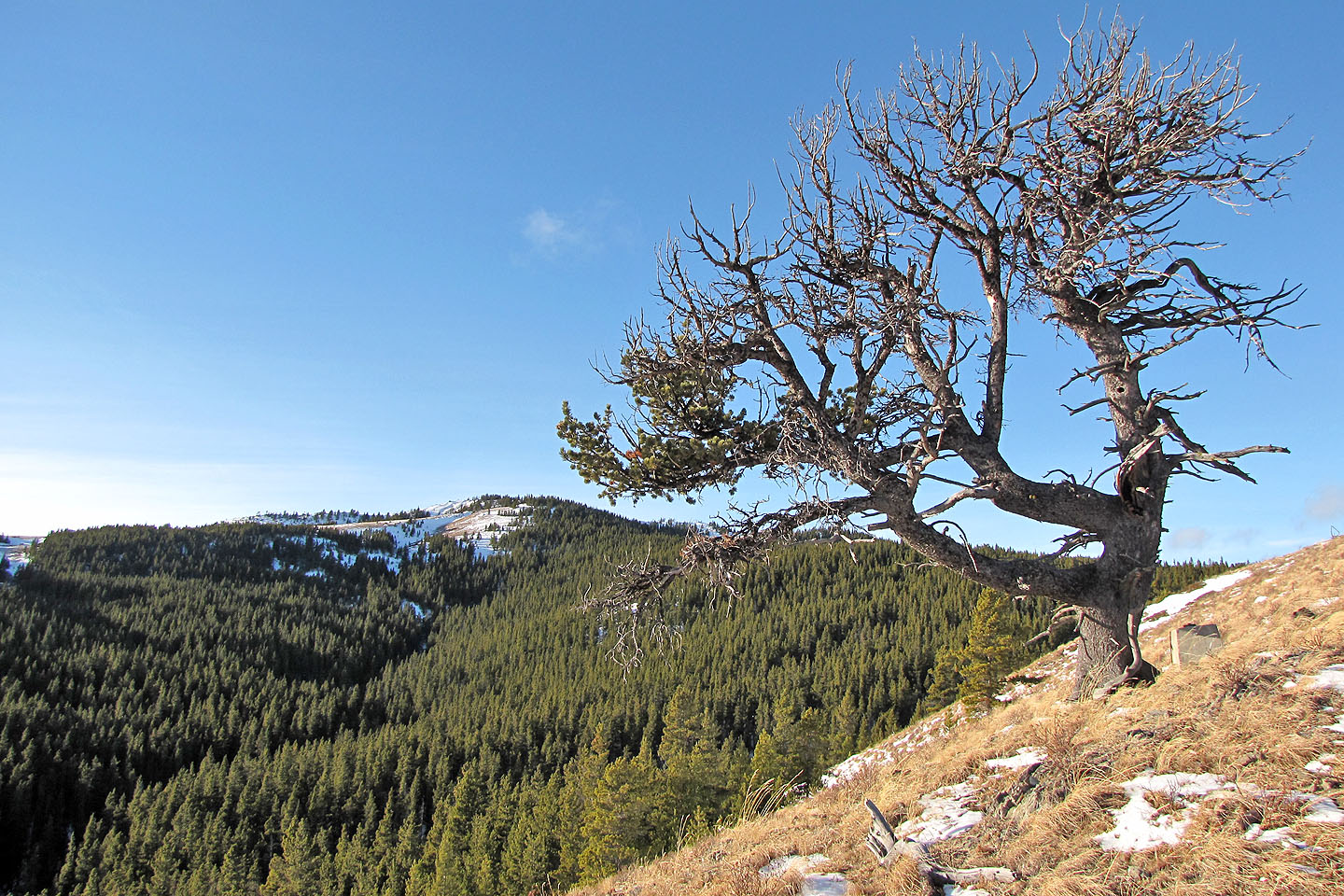
Back at the solitary tree we found a tombstone (mouse over)
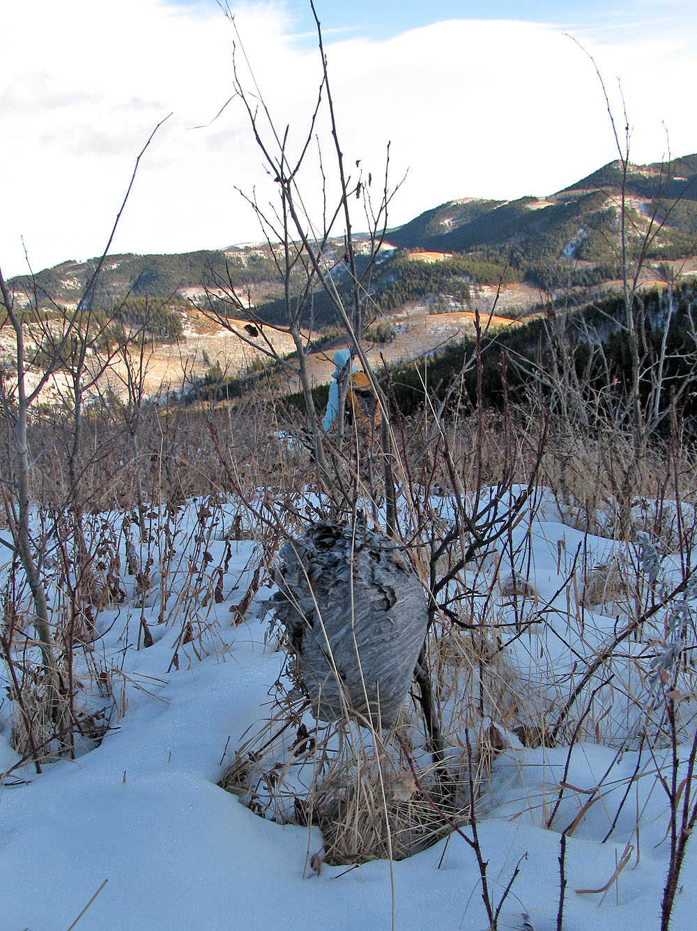
We passed by a wasp nest
Heading back to the trail below
82 J/1 Langford Creek