bobspirko.ca | Home | Canada Trips | US Trips | Hiking | Snowshoeing | MAP | About
Whaleback Peak
Bob Creek Wildland, Alberta
December 8, 2007
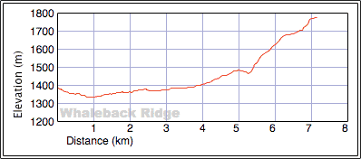
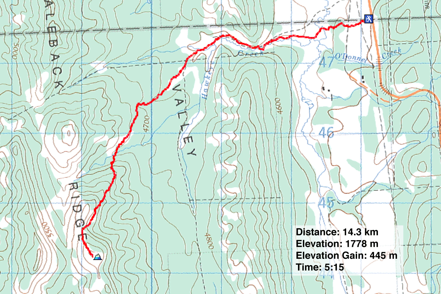
Distance: 14.3 km (8.9 mi)
Cumulative Elevation Gain: 487 m (1598 ft)
The popular route to the summit of Whaleback Ridge begins well south, but the highest point on Whaleback Ridge, Whaleback Peak, is north. Lacking daylight for such a long trip, we decided on a direct route. We parked at a turn-off where a road runs south and parallel to Highway 922. This put us west of a gap in Whaleback Ridge where Hawkeye Creek runs through. After going through the gap and going south in the valley a short way, we easily reached the summit.
We couldn't be sure where the exact summit was as there was no marker, nothing showing above the snow. But we tramped around and covered the highest points on the ridge. There were too many trees on the summit for me to take a summit panorama. We soon headed back the same way.
Although we had no trouble accessing the cattle land, Gerry Richardson, Event Coordinator Calgary Outdoor Club, emailed me a caveat.
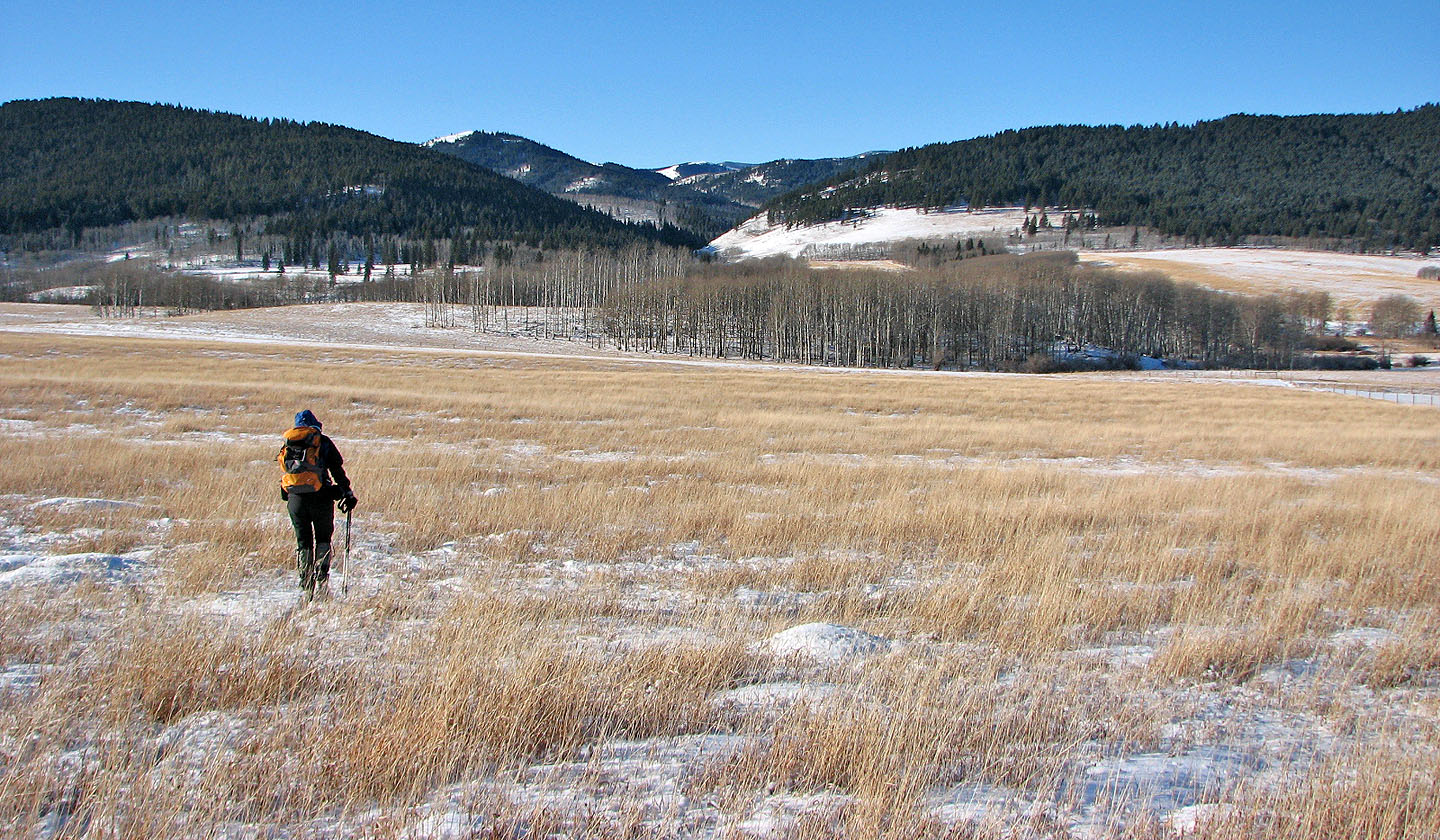
We headed across the field toward the gap
Behind is one of a few fences we had to climb over
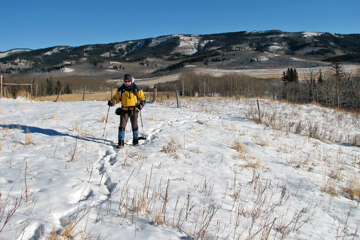
Almost at the gap where we came to a road that we would use to get us through
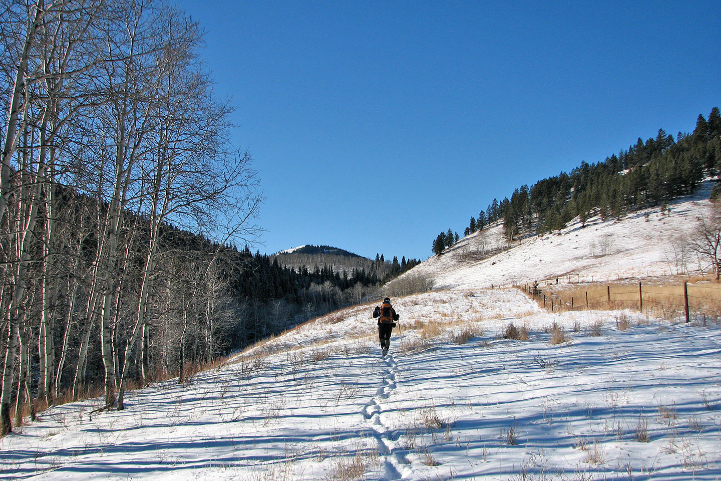
After passing through the gap I stopped to get my bearings
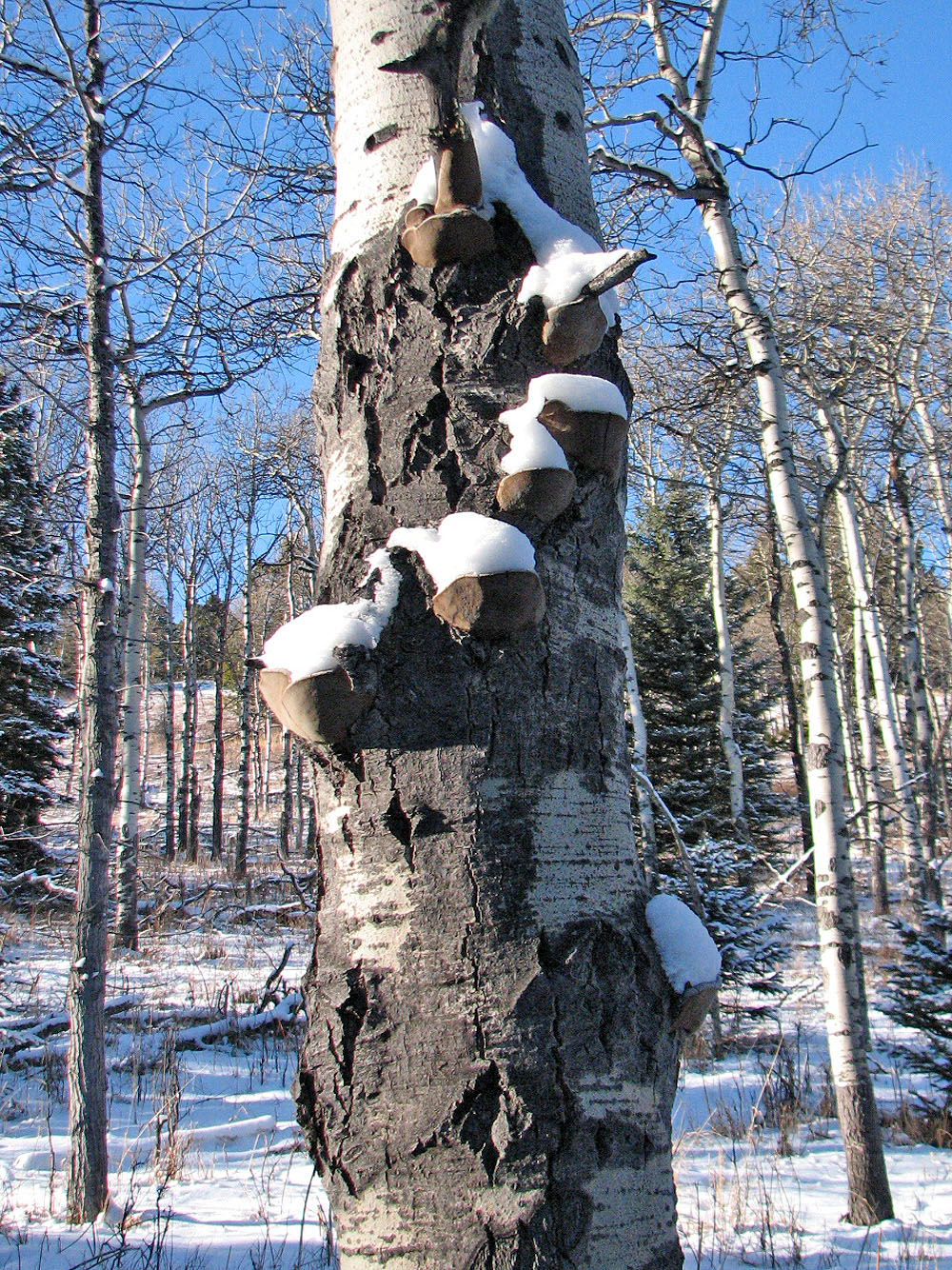
Fungi create a staircase up a tree
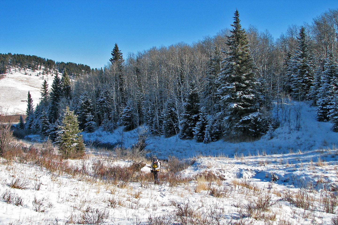
Before we reach the ridge on the left, we had to cross the drainage below it
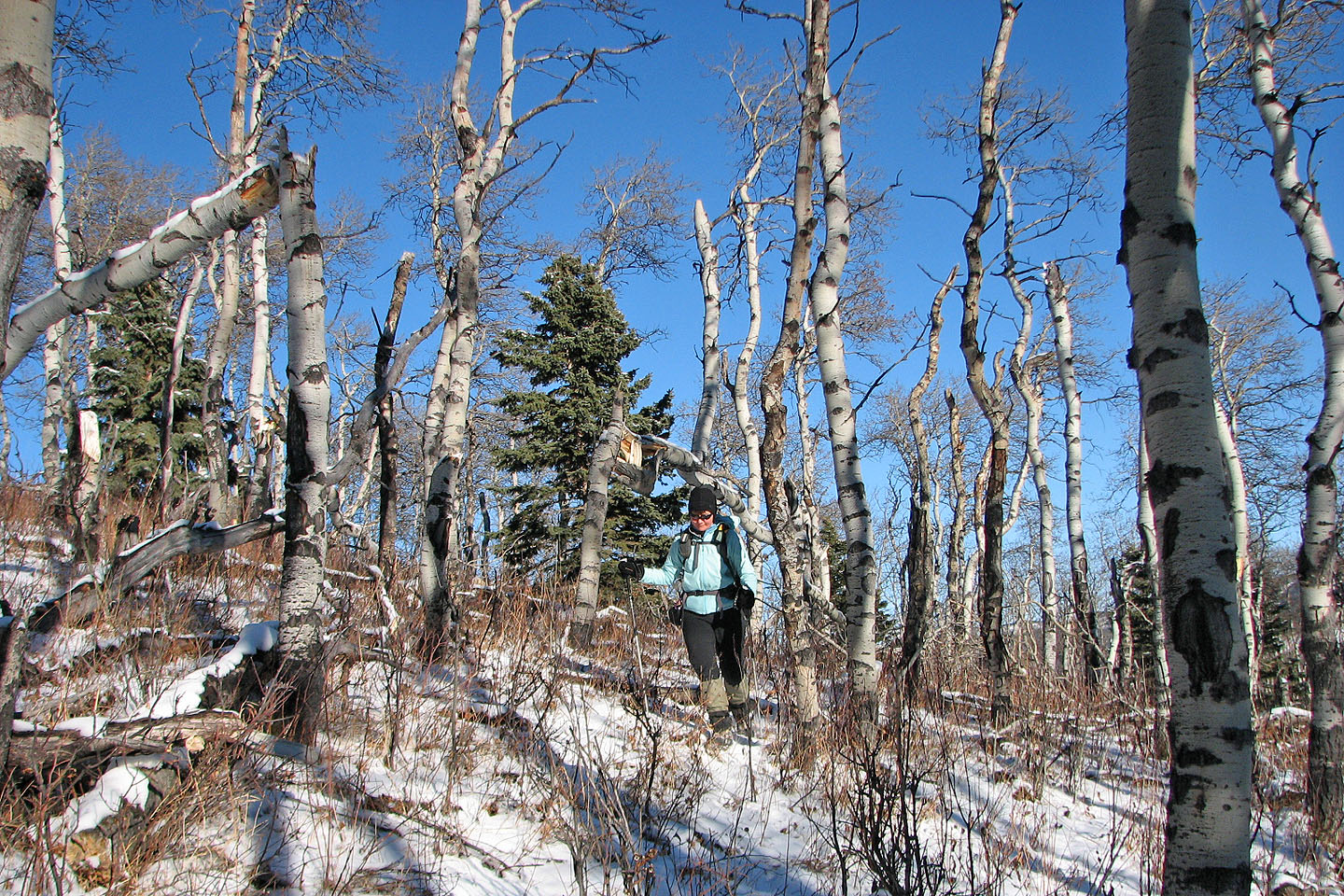
We hiked through twisted aspen
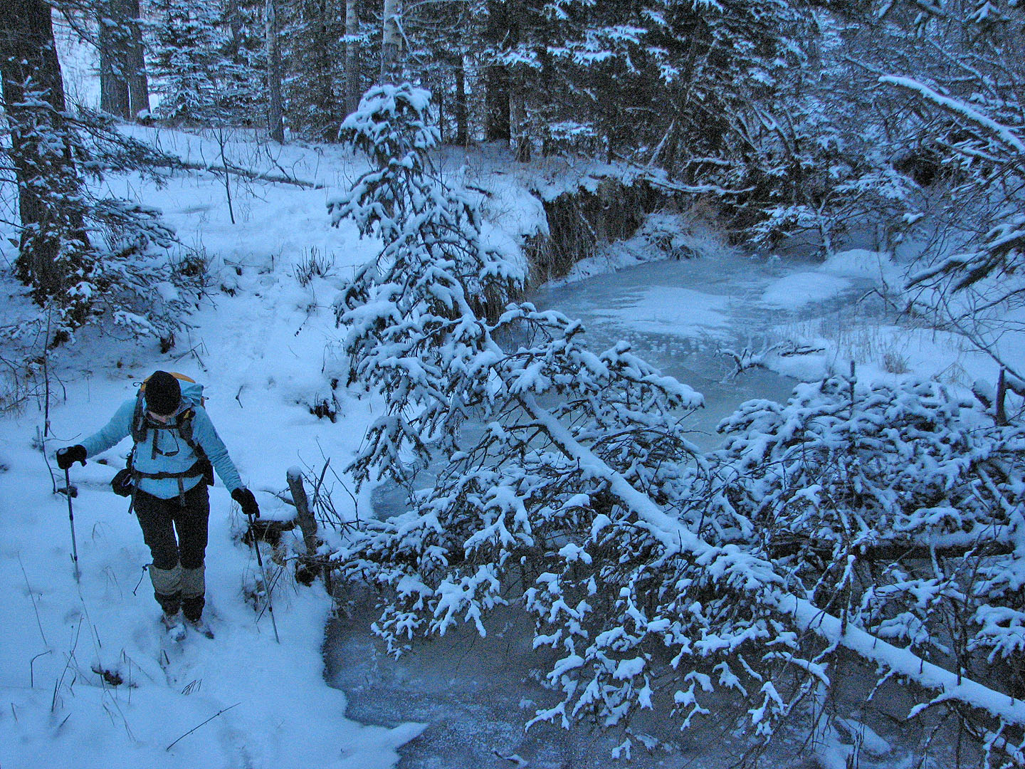
Crossing the frozen creek
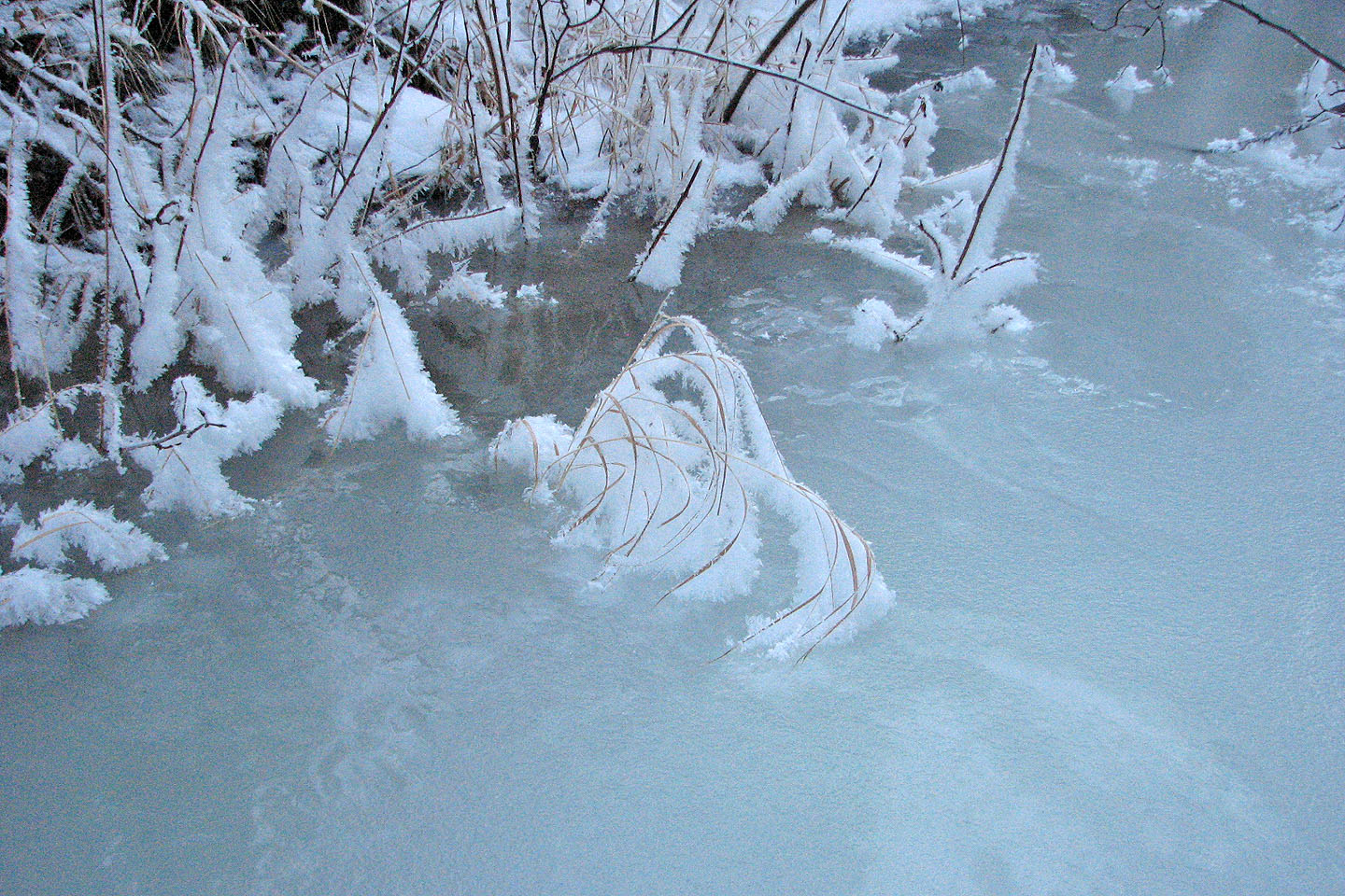
Grass frosted and frozen in the creek
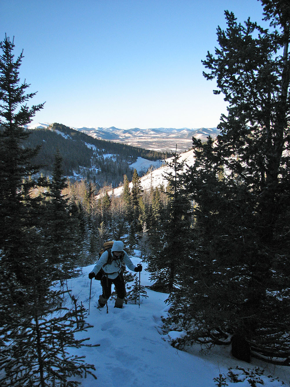
After reaching the ridge we headed to the summit
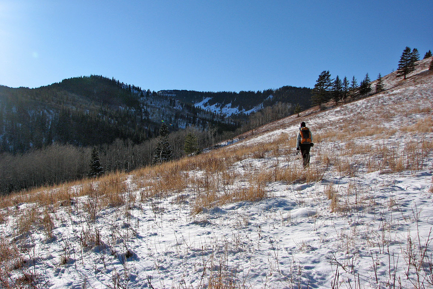
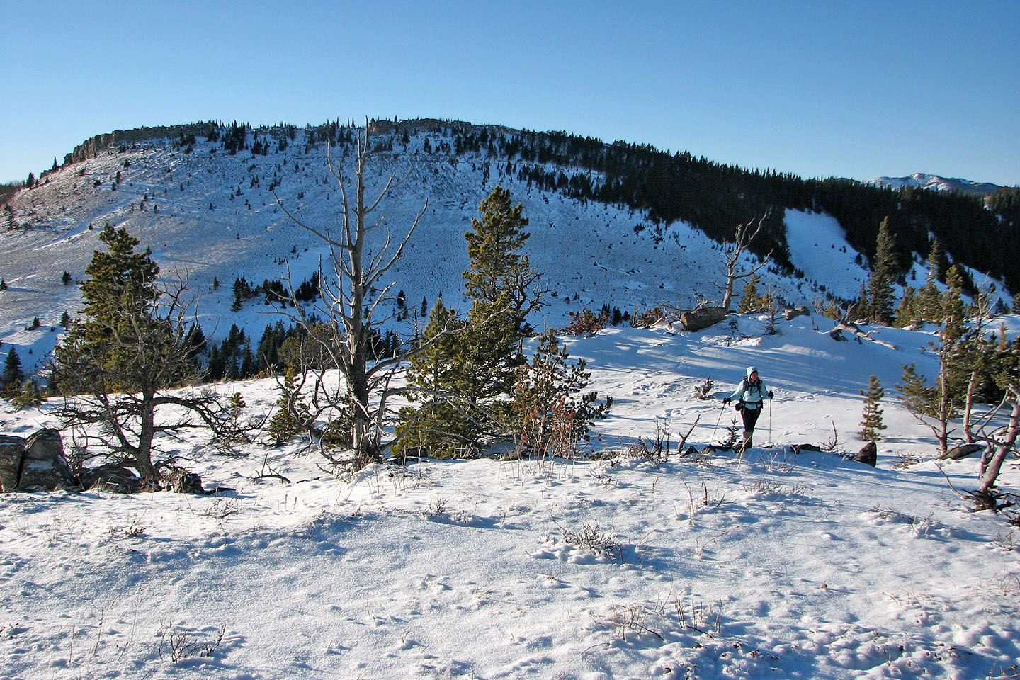
The sunny, bare slopes behind looked more enticing than where we were!
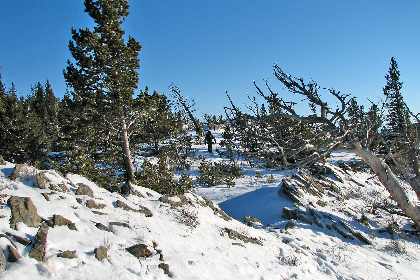
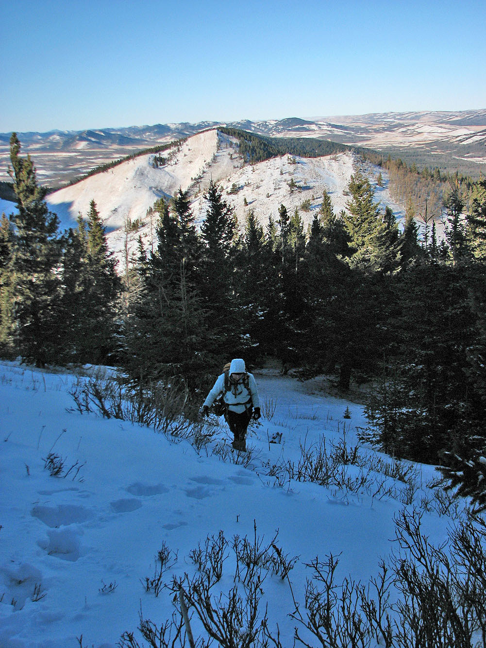
Looking for the highest point on the ridge
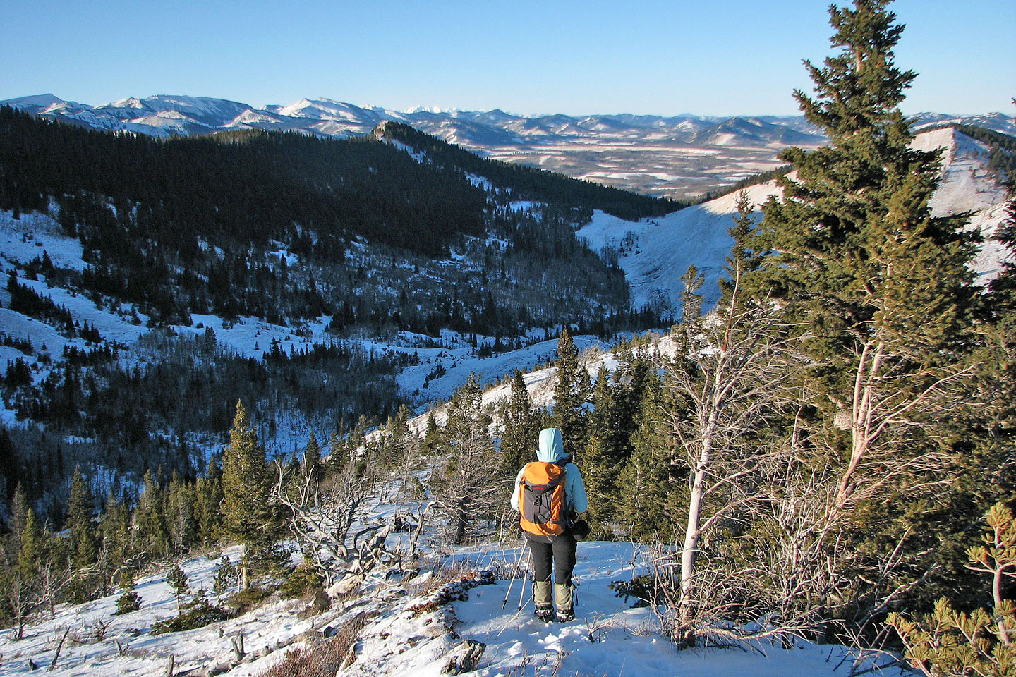
To the west is an unnamed ridge that I reached earlier in the year when I climbed
Chimney Rock
As we headed back we see Saddle Mountain and Chimney Rock (mouse
over)
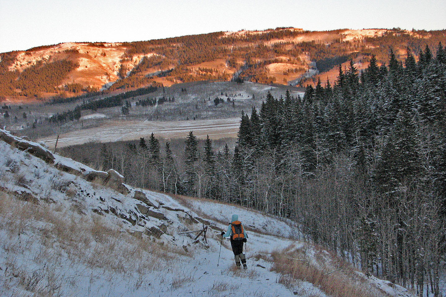
The sun set as we hiked along the road through the gap
82 J/1 Langford Creek