bobspirko.ca | Home | Canada Trips | US Trips | Hiking | Snowshoeing | MAP | About
Chaffen Ridge
aka Chaffen Peak
Livingstone Range, Alberta
May 23, 2015
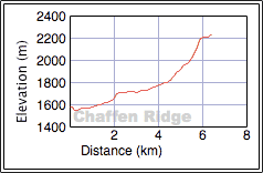
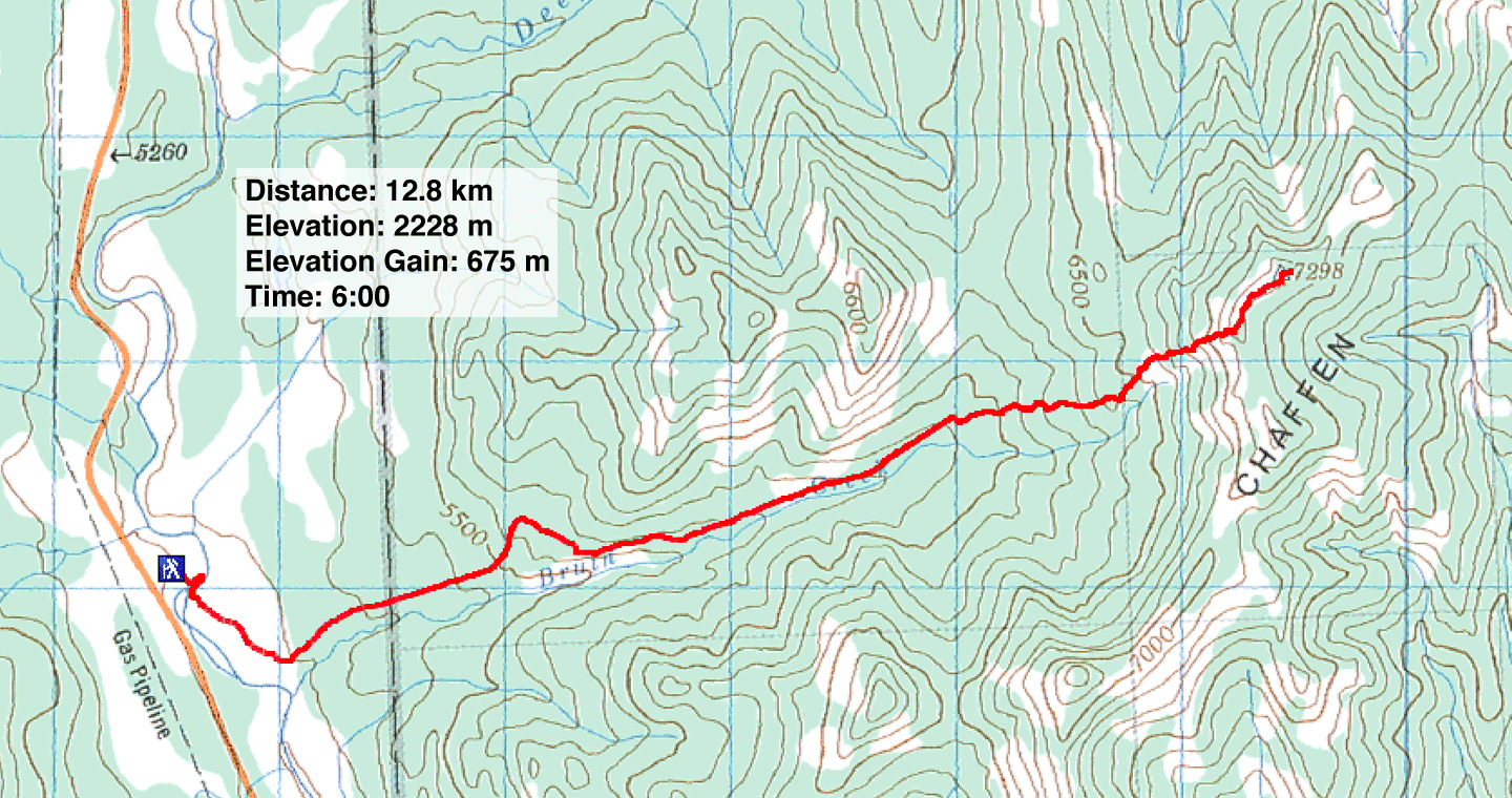
Distance: 12.8 km (8.0 mi)
Cumulative Elevation Gain: 706 m (2316 ft)
Having done the East Peak of Chaffen Ridge years ago, I wanted to return to climb the highest point on the ridge, referred to as Chaffen Peak on some maps. Unlike the East Peak, we approached it from the west. (The peaks are 3.5 km apart, too far to consider doing together when I did the East Peak in the short days of December.) Sonny agreed to join me on this little adventure.
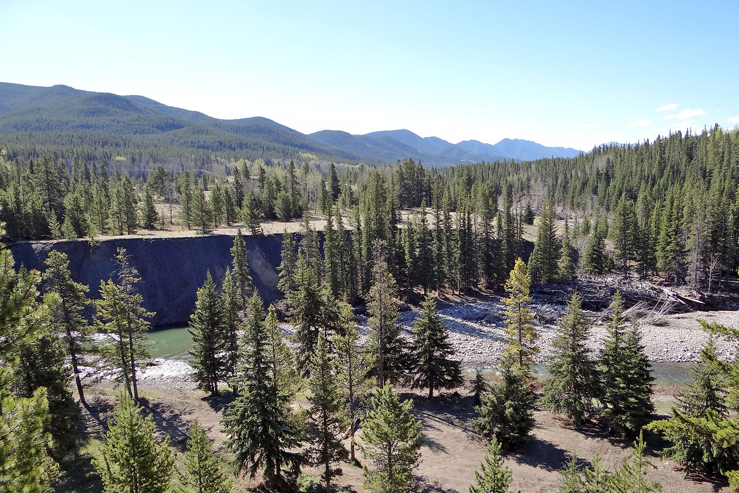
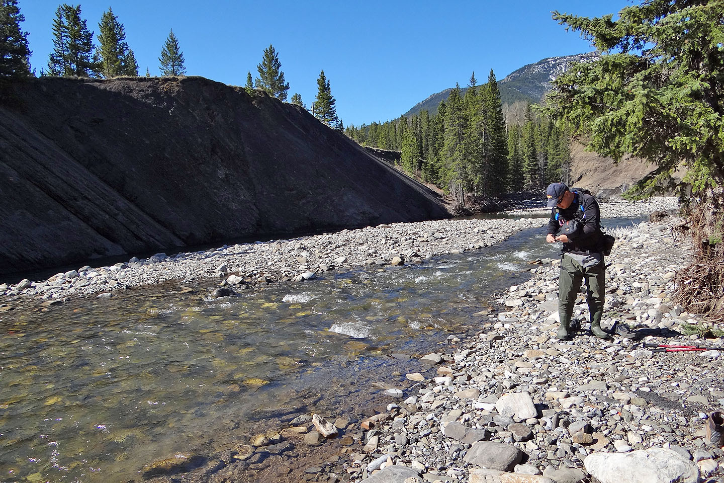
Most of our approach is taken up by an old road running alongside Bruin Creek, but reaching the road was the crux of the trip: we had to ford Livingstone River. After parking on the west bank, Sonny and I, hip waders in hand, dropped down to the river. After putting on our waders, we easily crossed a braided stream before taking on a bigger chunk of the river, one that was more forceful than it looked. It was also deep, rising well above our knees. We struggled to reach the other side. (We saw a shallower place to cross, but it was far upstream.)
After changing into hiking boots, we climbed the bank and immediately found the road. The road was pleasant enough, and we kept to it except to take a short detour that spared us from unnecessary elevation gain where it climbed over a rise and brought us to a viewpoint high above the creek. From there we had our first glimpse of the summit still some distance away.
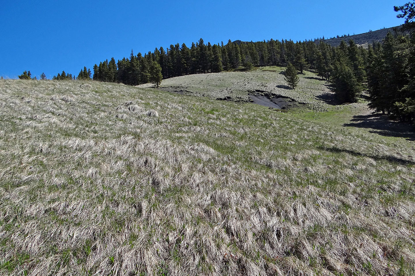
All good things must come to an end, and we had to break from the road and begin climbing and bushwhacking. Our route, however, passed through a few glades, so our time spent in the trees was blessedly brief. Eventually we escaped the forest altogether and reached the grassy ridge crest. The summit, a little rocky point, was on our left, a short distance away.
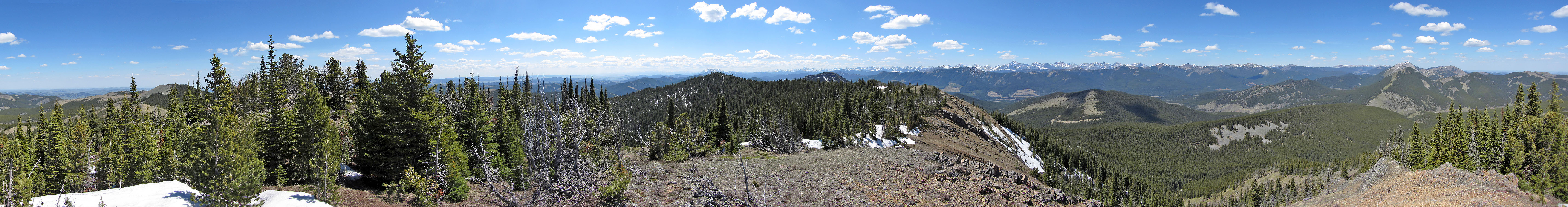
For a minor peak, Chaffen Ridge provided surprisingly far-ranging views. We could see Livingstone Lookout south, Mount Livingstone north, and Tornado Mountain west. And we had time to take it all in. Calm winds and warm temperatures allowed us to linger comfortably on the top – sans jackets – for 45 minutes before we started back down. The return trip went quickly, although we didn't look forward to crossing Livingstone River again. But the river shouldn't discourage anyone from trying Chaffen Ridge. It's probably best to do it late in the season when water levels should be low.
KML and GPX Tracks
Sonny's Trip Report
First we had to ford Livingstone River
Sonny prepares to make the first crossing
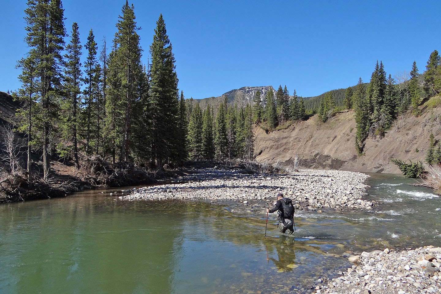
The second crossing was much tougher and we had to fight the current to reach the other side
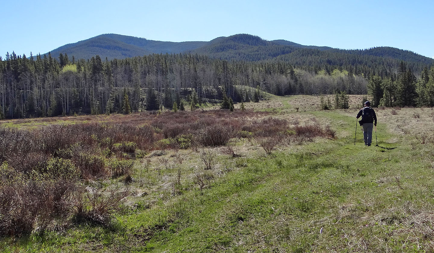
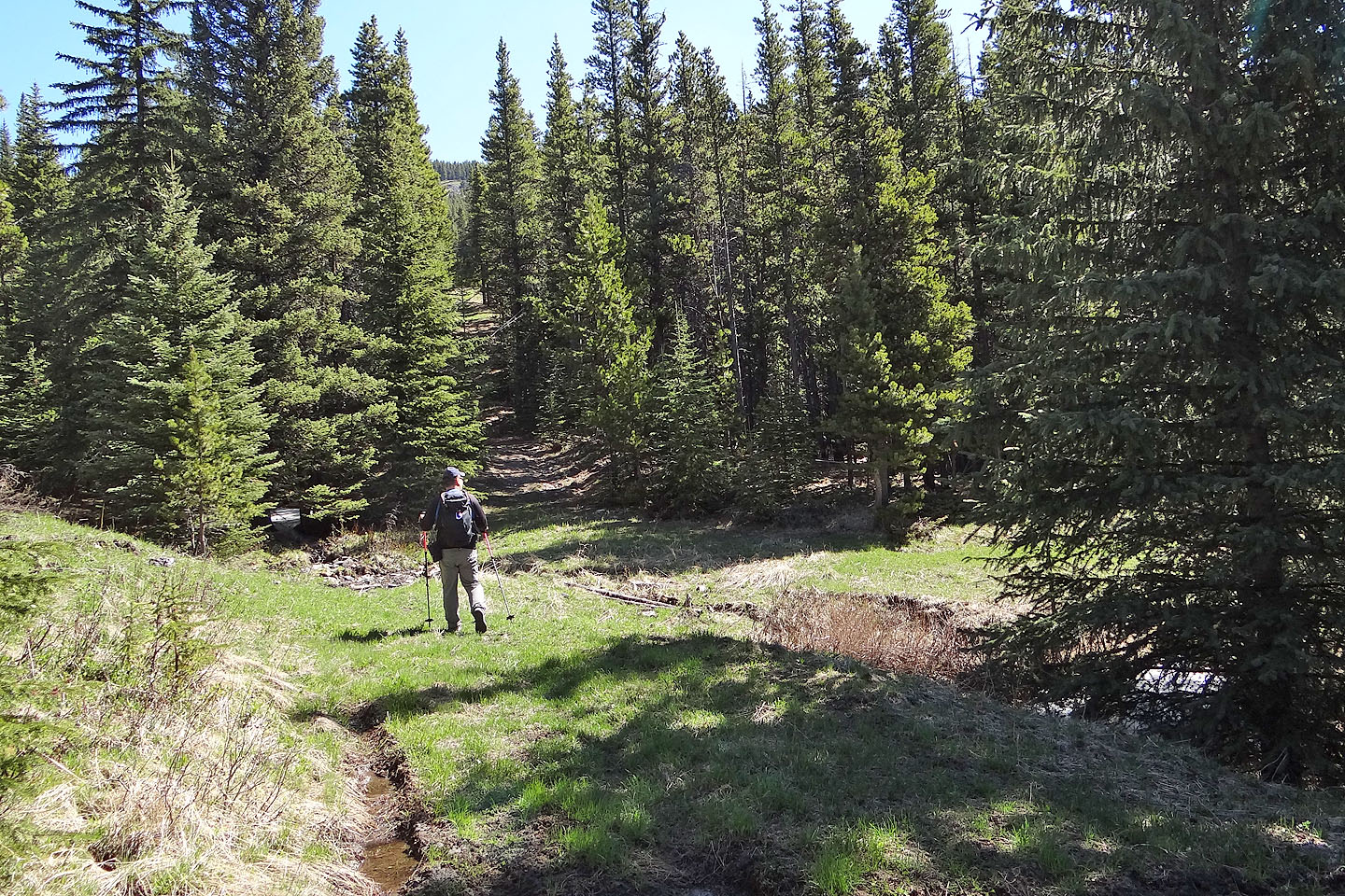
Soon after starting up the road, it turned left, up a ramp seen in the centre
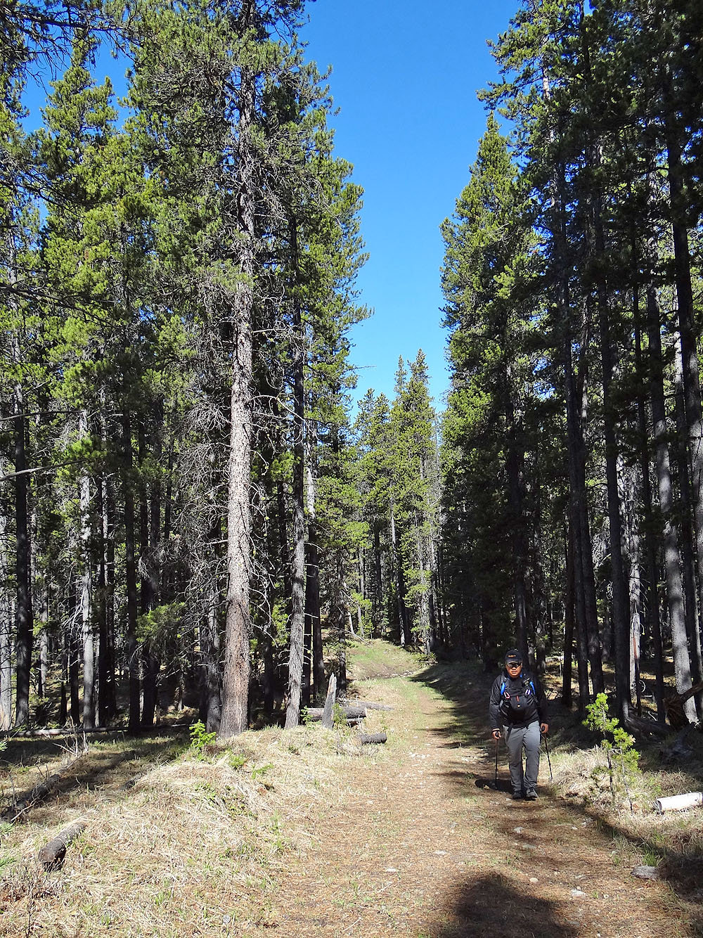
There was little to see along the tree-lined road
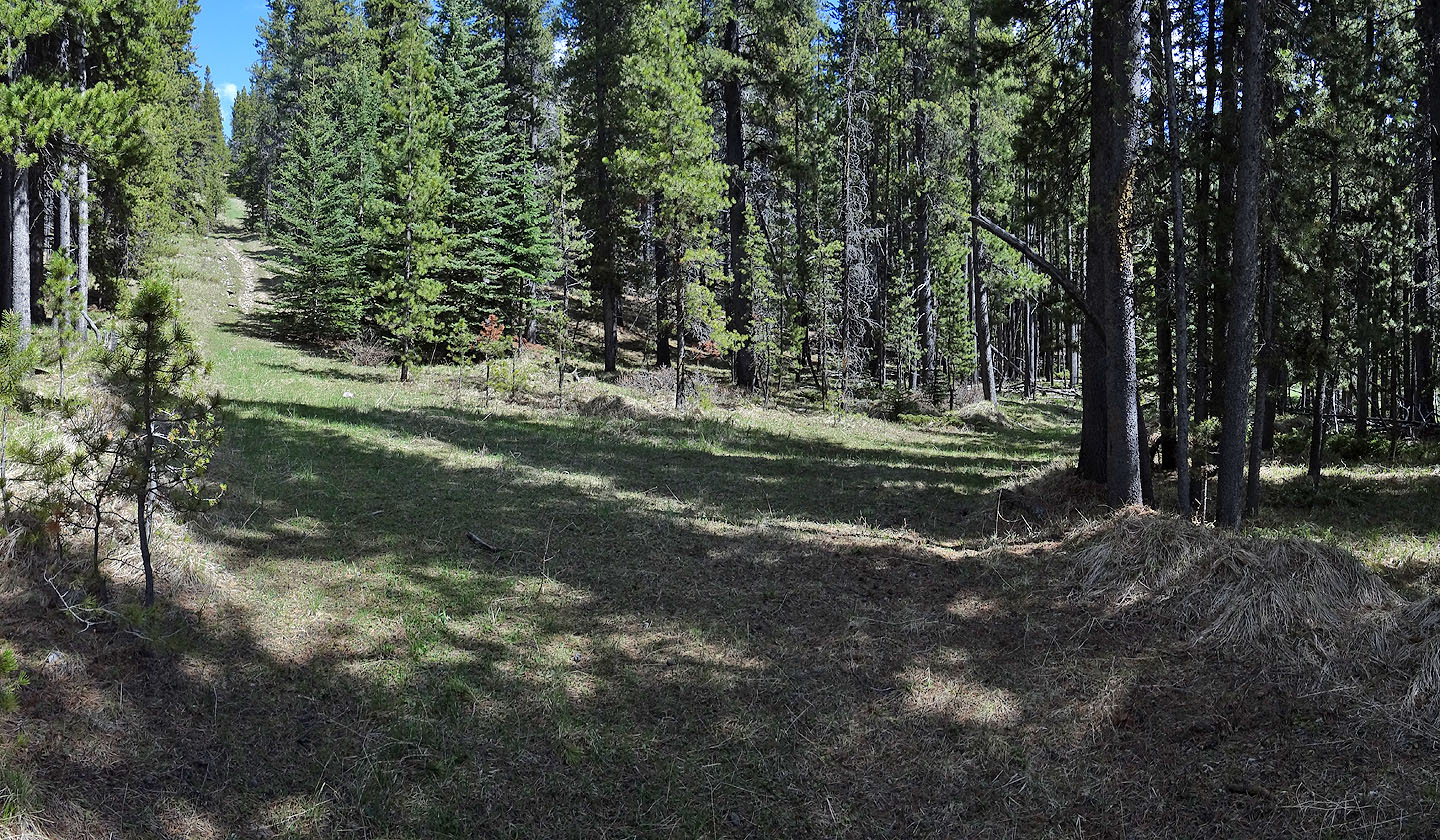
The road climbs over a rise, but we avoided the unnecessary elevation gain by going right
and contouring back to the road
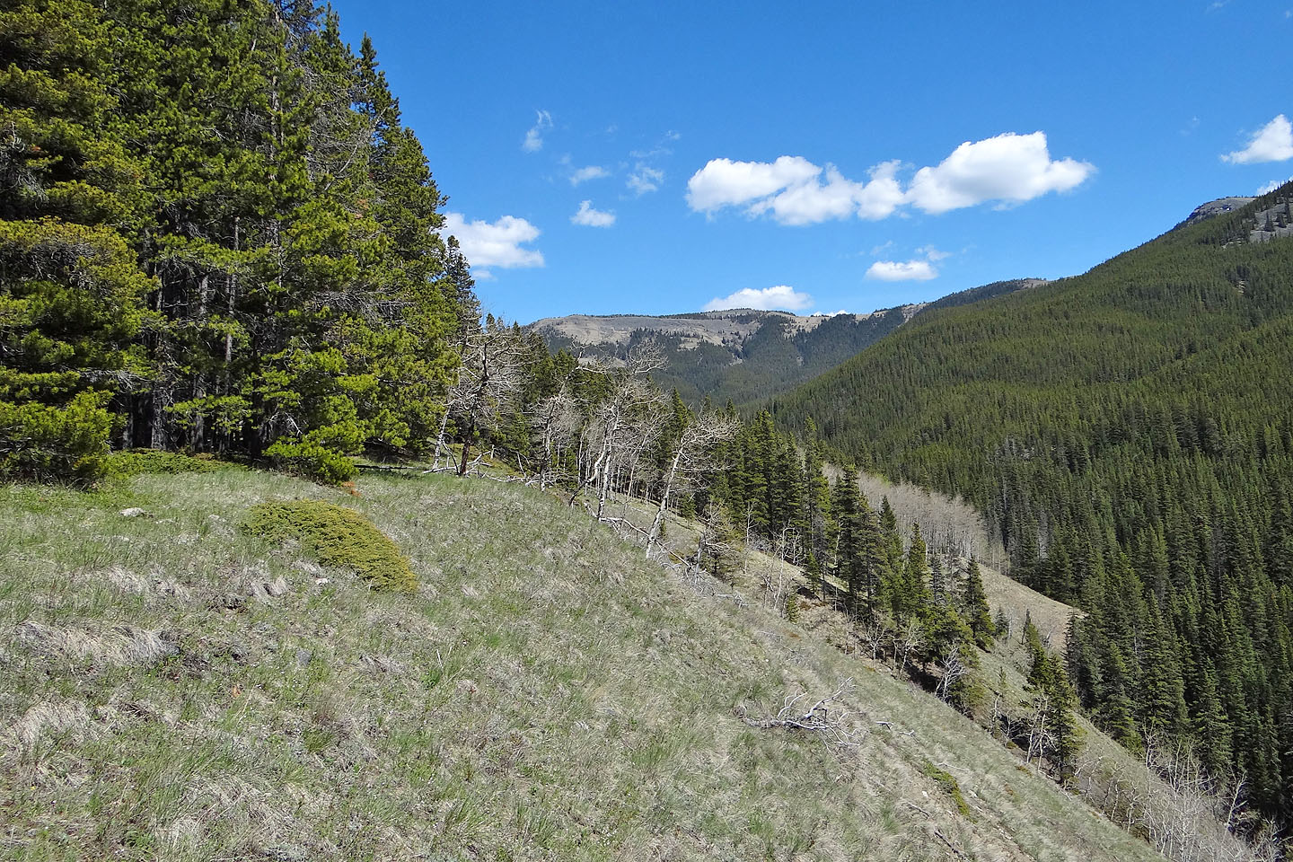
The detour afforded us a view of Chaffen Ridge (mouse over for a close-up)
View of the ridge from the road a few minutes later
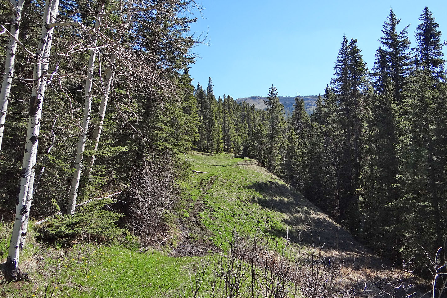
We left the road here, going right, and immediately came to the first clearing
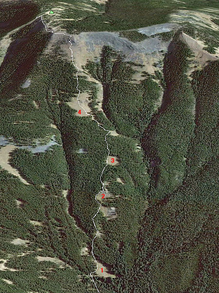
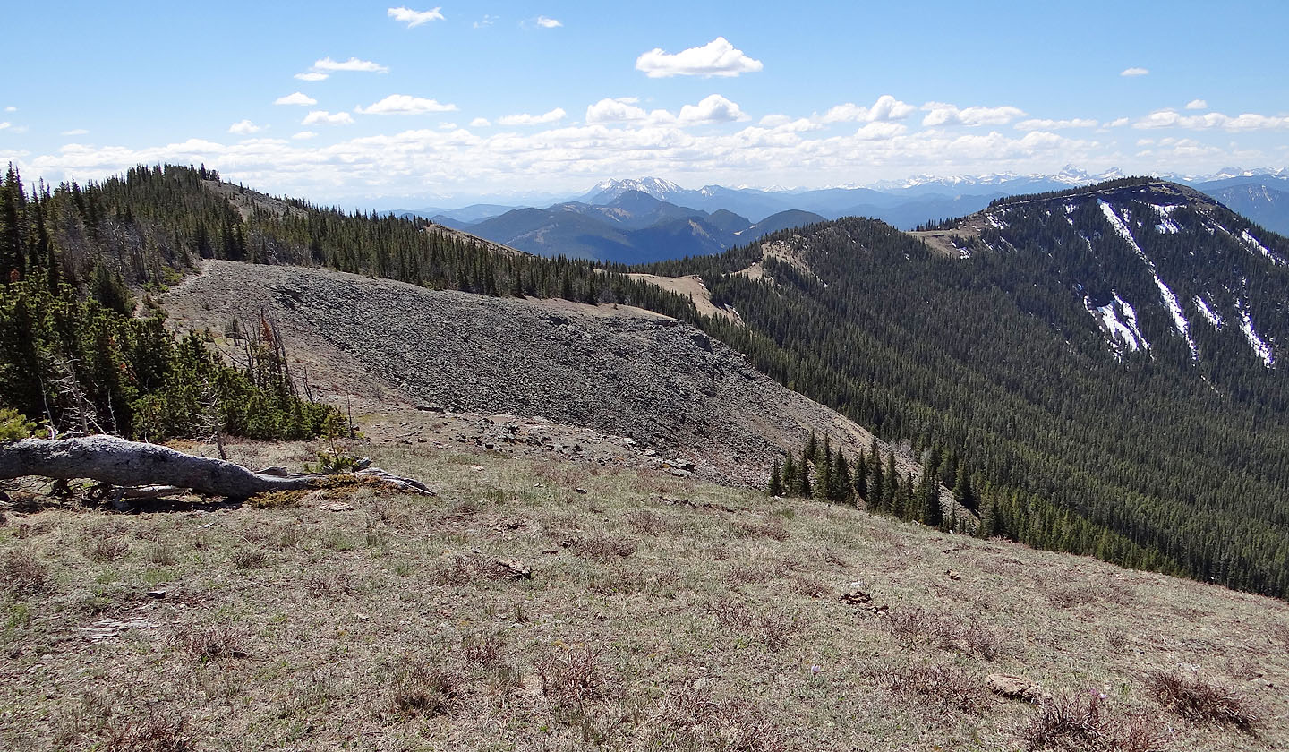
By linking together several clearings
we avoided prolonged bushwhacking
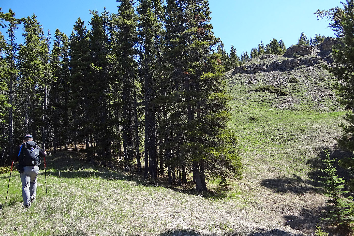
The second clearing is topped by a rock outcropping
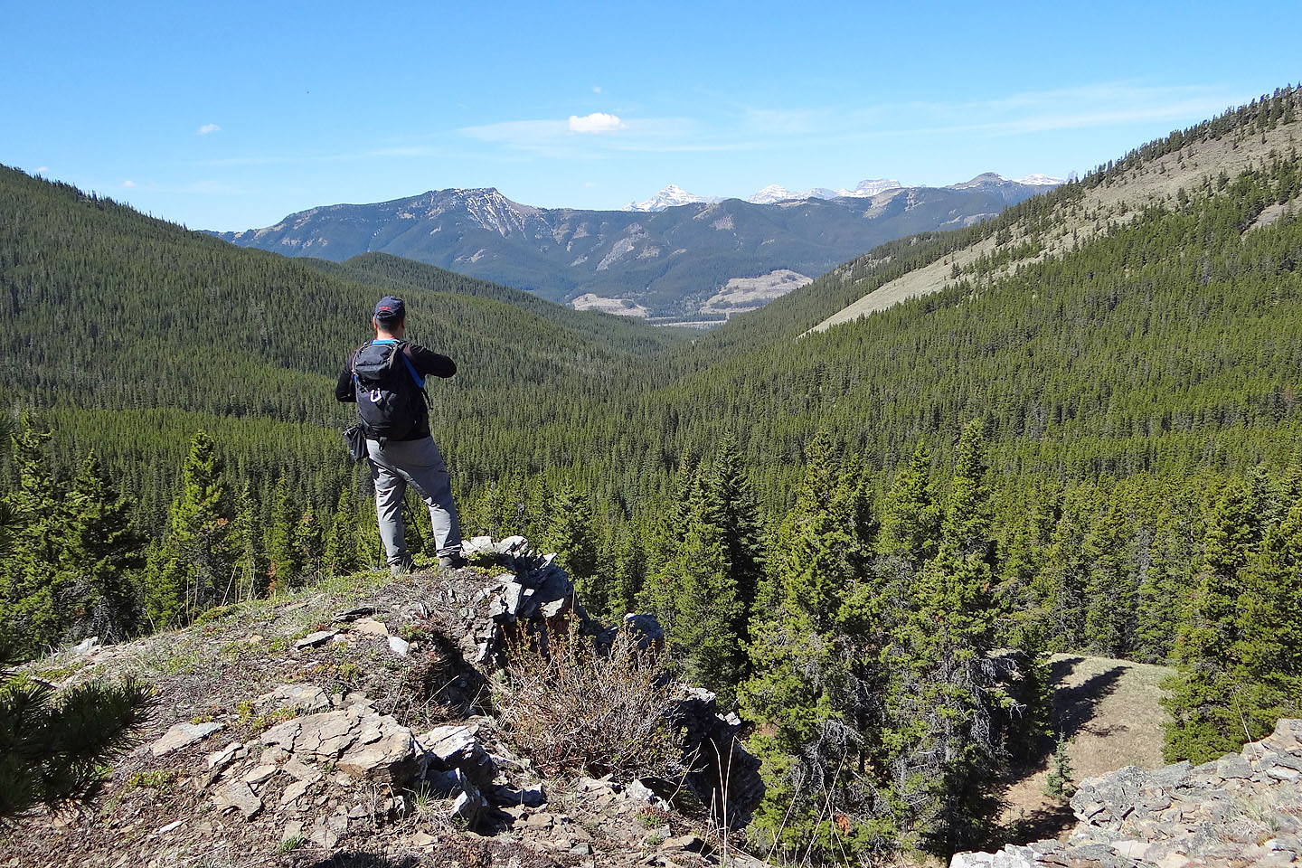
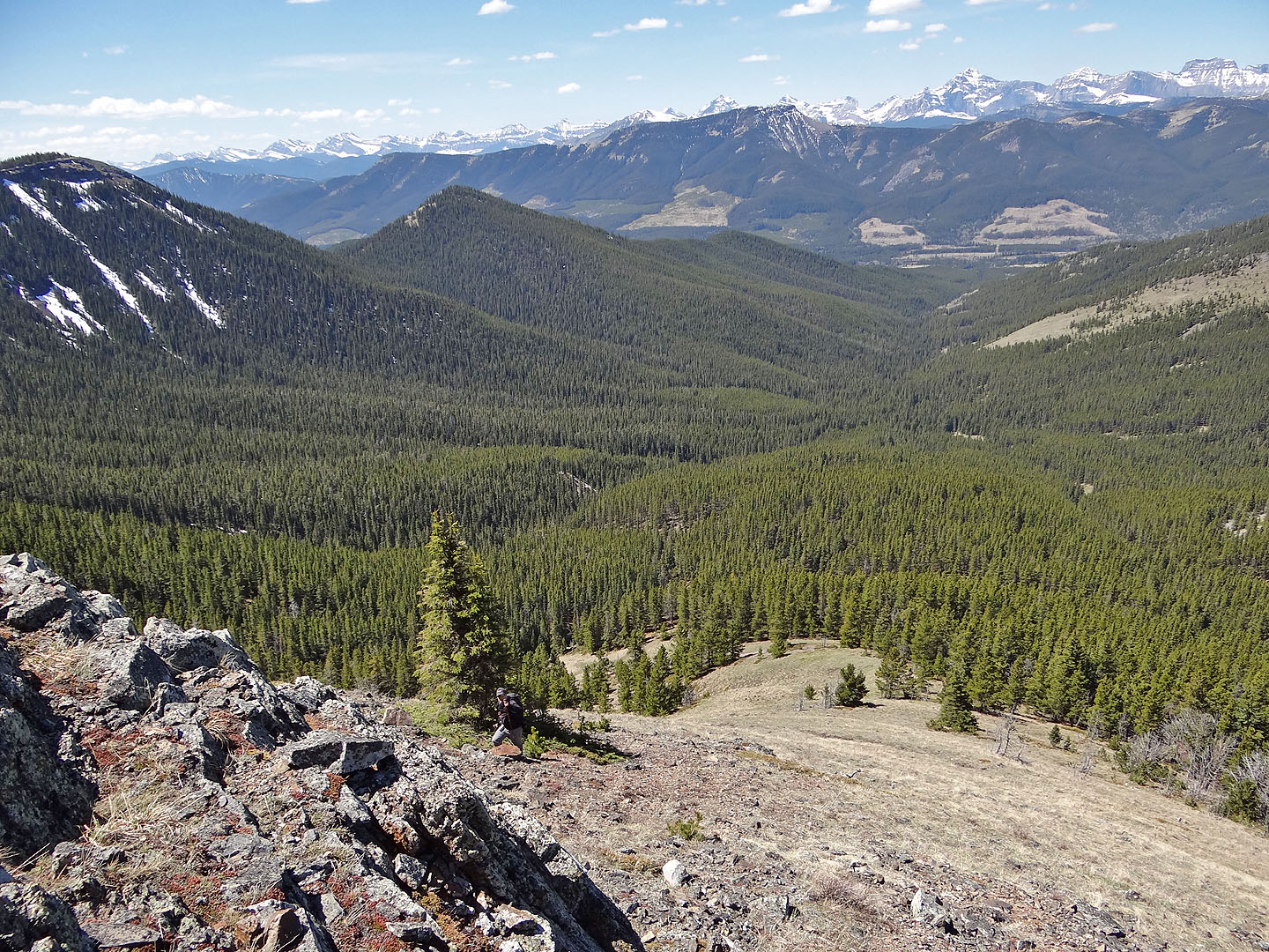
Looking down Bruin Creek Valley
The fourth and largest clearing
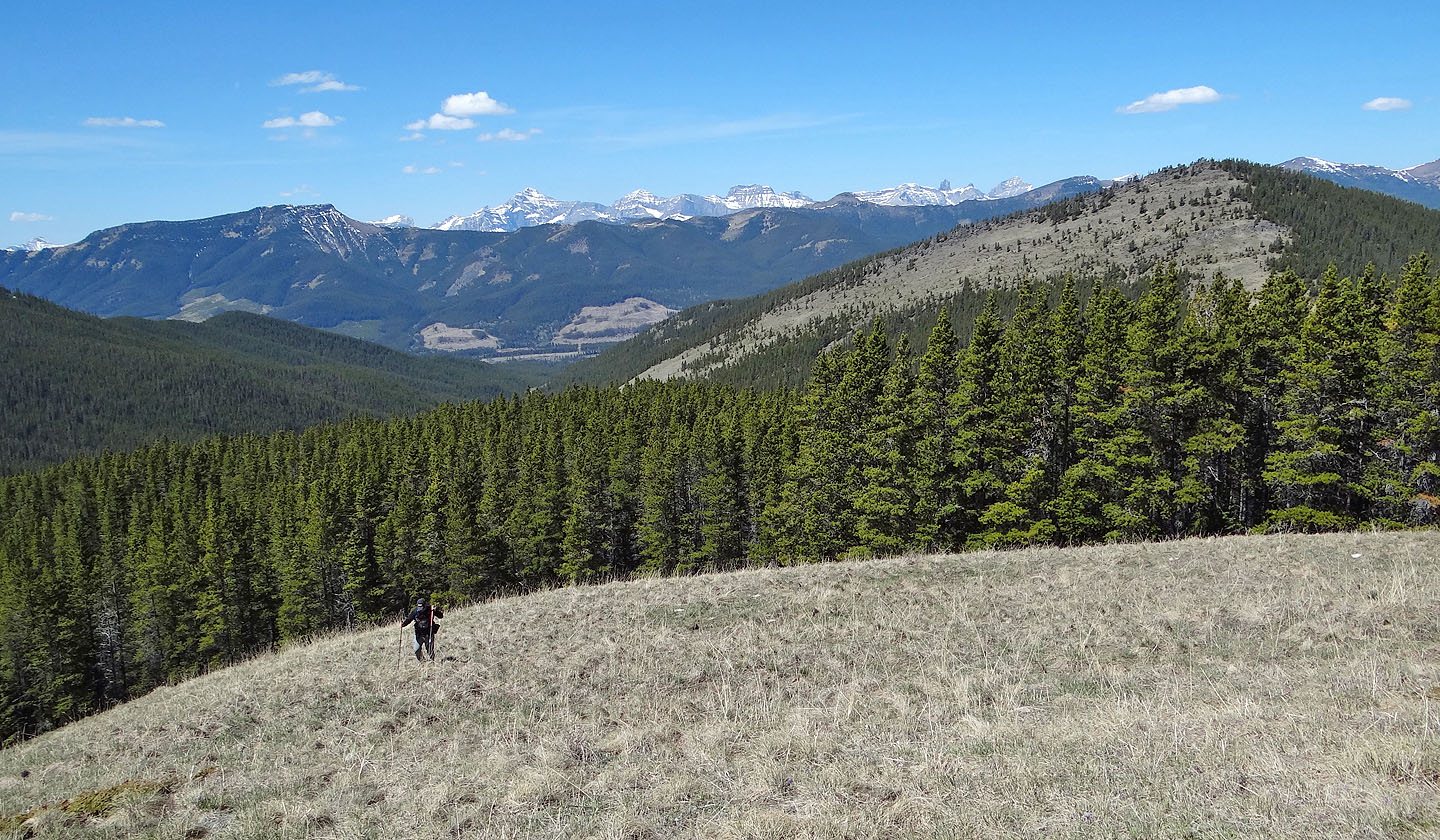
Above Sonny is Tornado Mountain (mouse over)
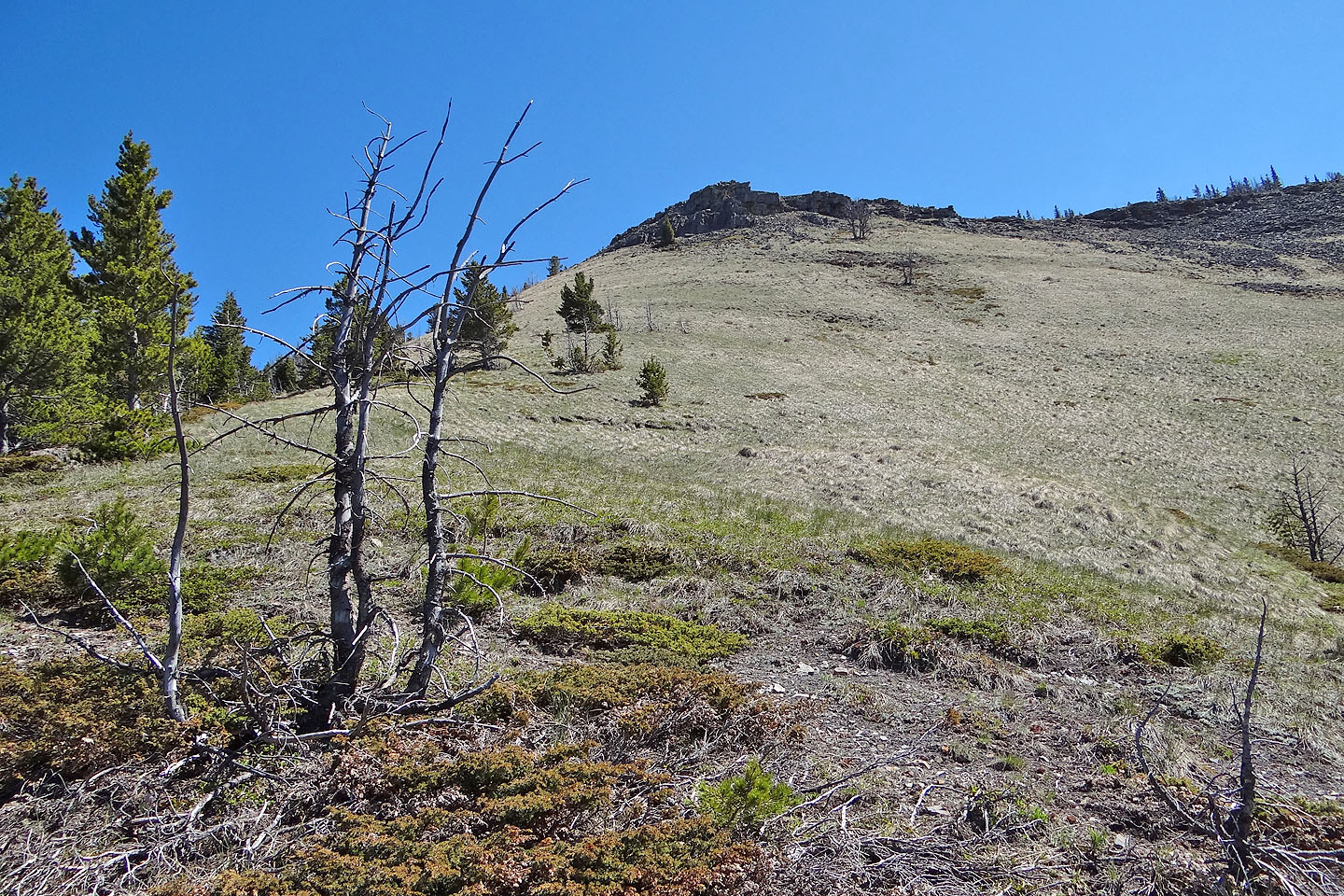
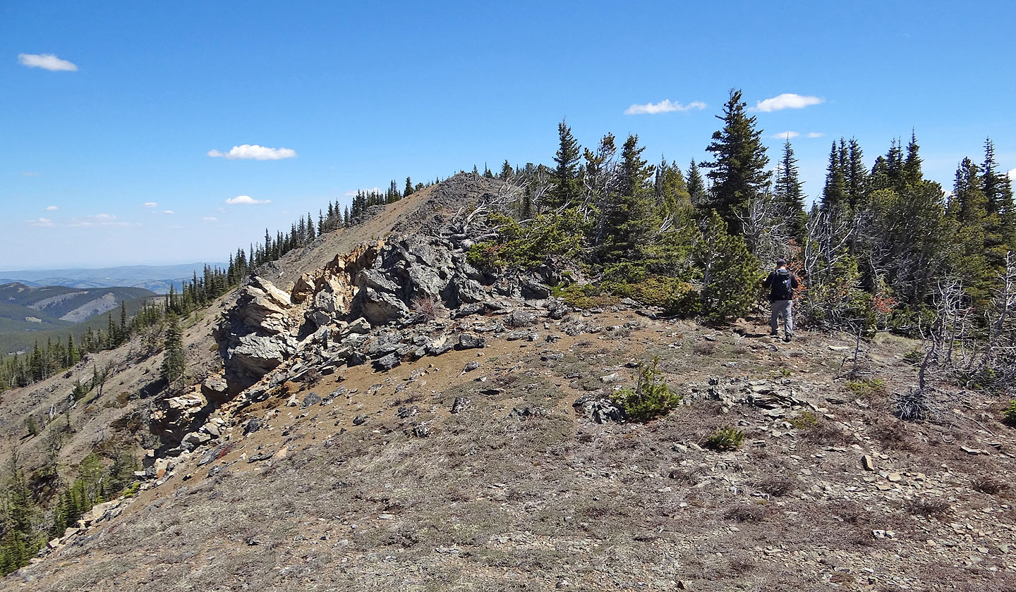
An outcrop lies below the ridge crest
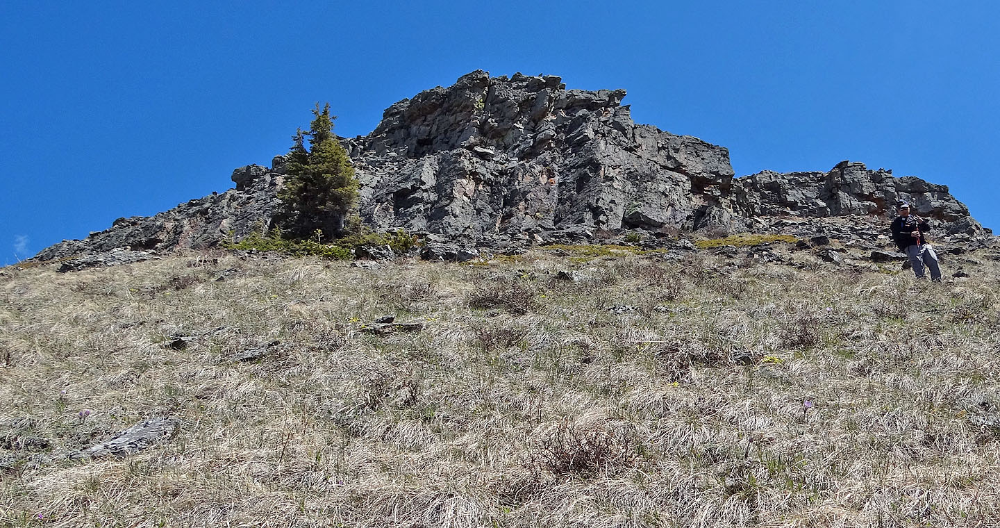
We easily scrambled up the left side
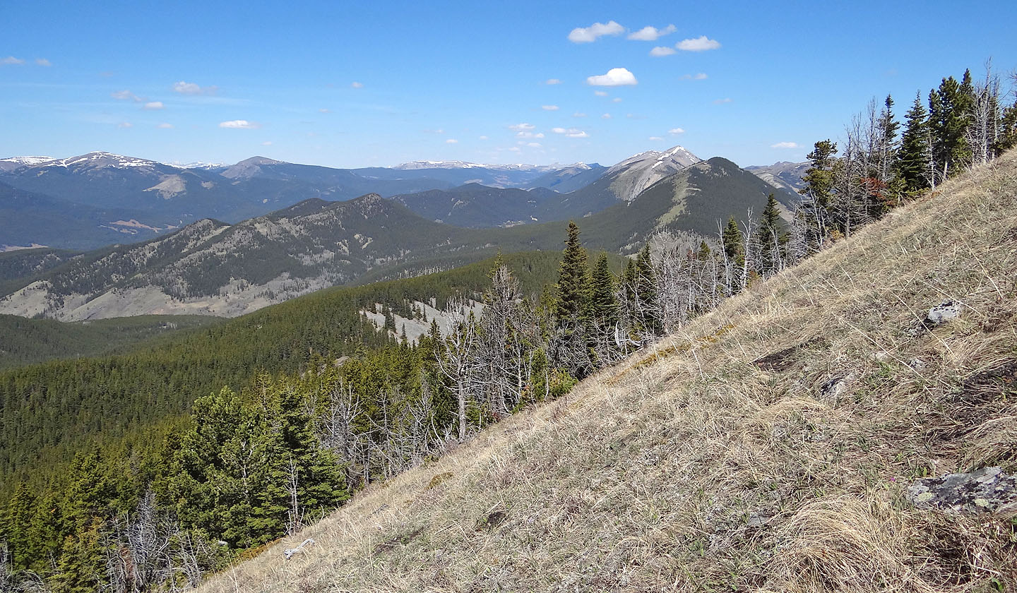
Looking north at Mount Livingstone and Coffin Mountain (mouse over)
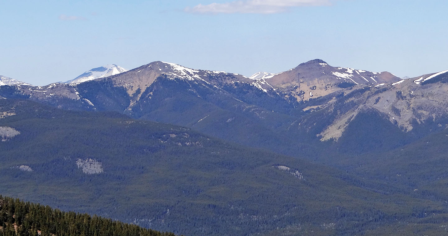
Twin Peaks, the highest points on Cabin Ridge
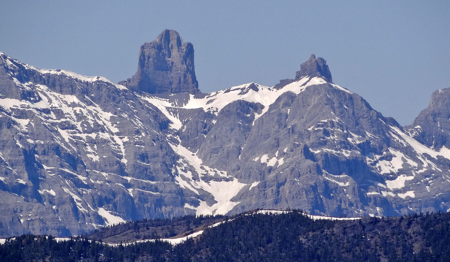
The Elevators
Sonny at the base of the outcrop
Looking south along the ridge
Heading north to the summit
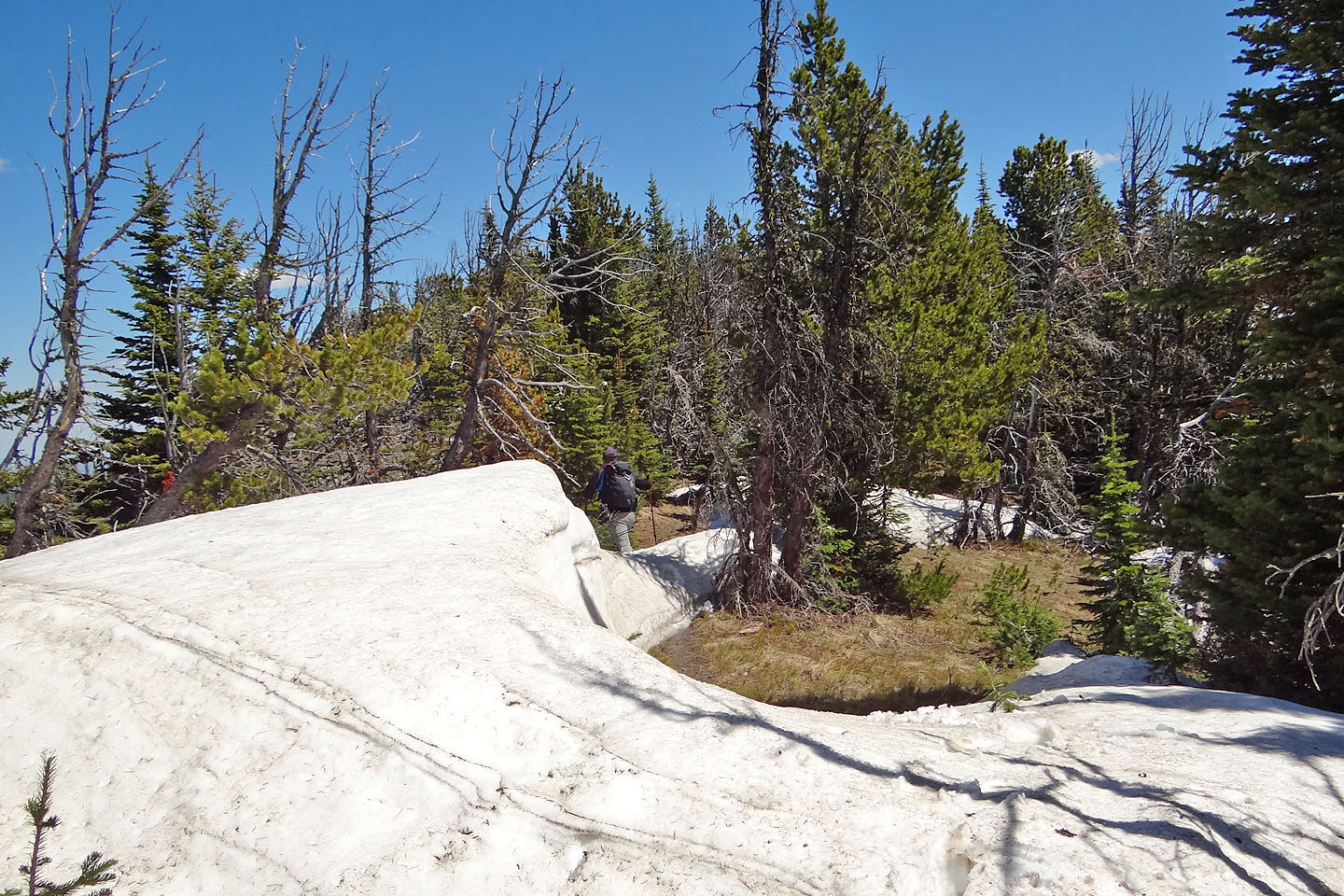
Lingering snow
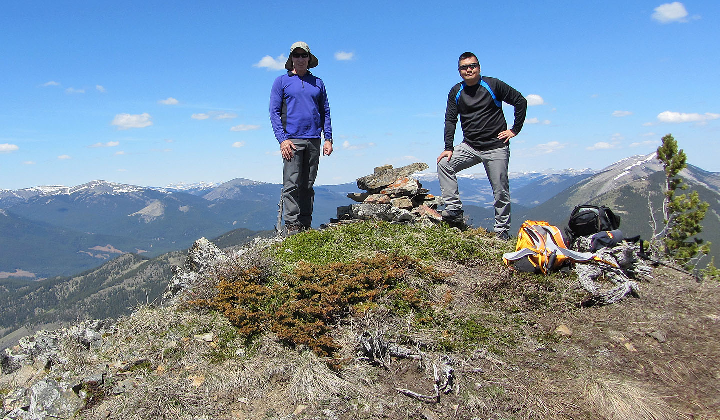
On the summit
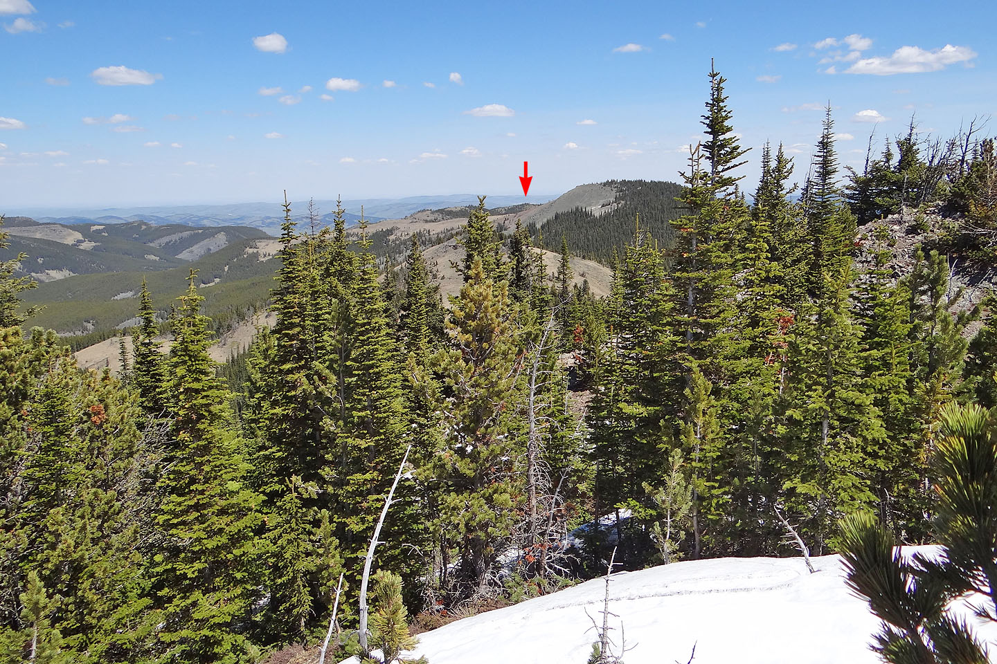
The east peak is 3 km away
82 J/1 Langford Creek