bobspirko.ca | Home | Canada Trips | US Trips | Hiking | Snowshoeing | MAP | About
Volcano Peak
Kananaskis, Alberta
April 23, 2004
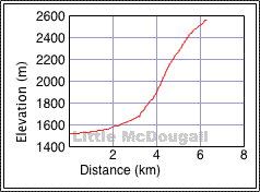
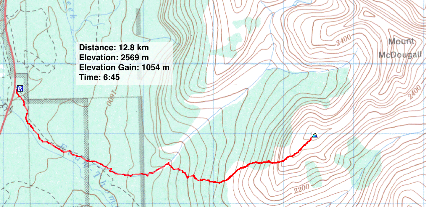
Distance: 12.8 km (8.0 mi)
Cumulative Elevation Gain: 1106 m (3629 ft)
A roadside view of Volcano Peak suggested a good early or late season climb, and it was. Dinah and I followed the Evan-Thomas trail before leaving for the side trail following McDougall Creek. Just before reaching the edge of the trees, we crossed the creek and bushwhacked until we reached the edge of a talus slope. We continued hiking up until we reached the summit.
The endeavour was little more than a steep hike. (I called it "Little McDougall," but a couple years later, Andrew Nugara climbed it and named it "Volcano Peak." (We also climbed Volcano Peak in 2005 when we attempted Mount McDougall in 2005. We took a course that avoided the bushwhacking and talus slope. but it had routefinding challenges.)
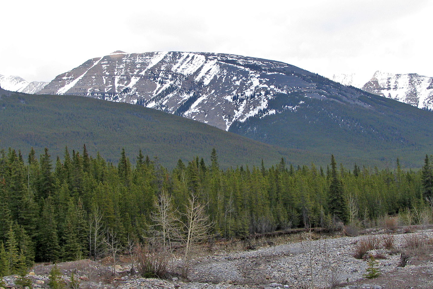
Volcano Peak seen from
Wedge Pond parking lot. If it weren't for deep snow, we would have gone farther up
the trail to avoid most of the bushwhacking which was awful.
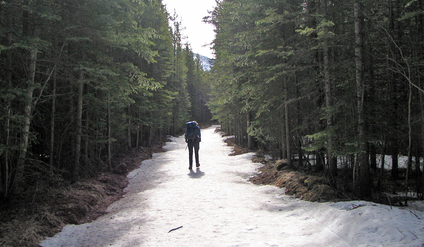
Evan-Thomas trail
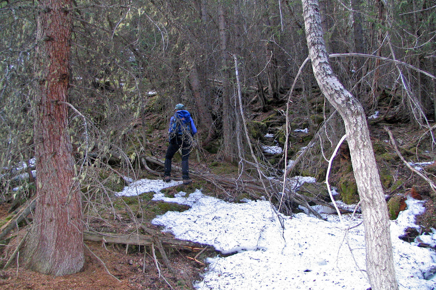
After crossing the creek we began bushwhacking
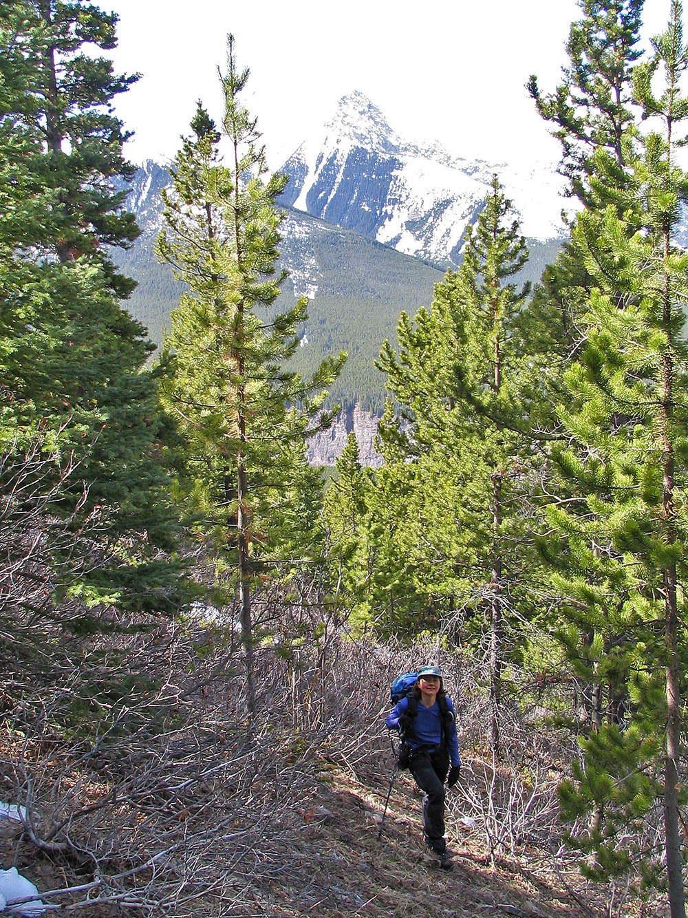
We continued up the slope
We finally broke free of the trees
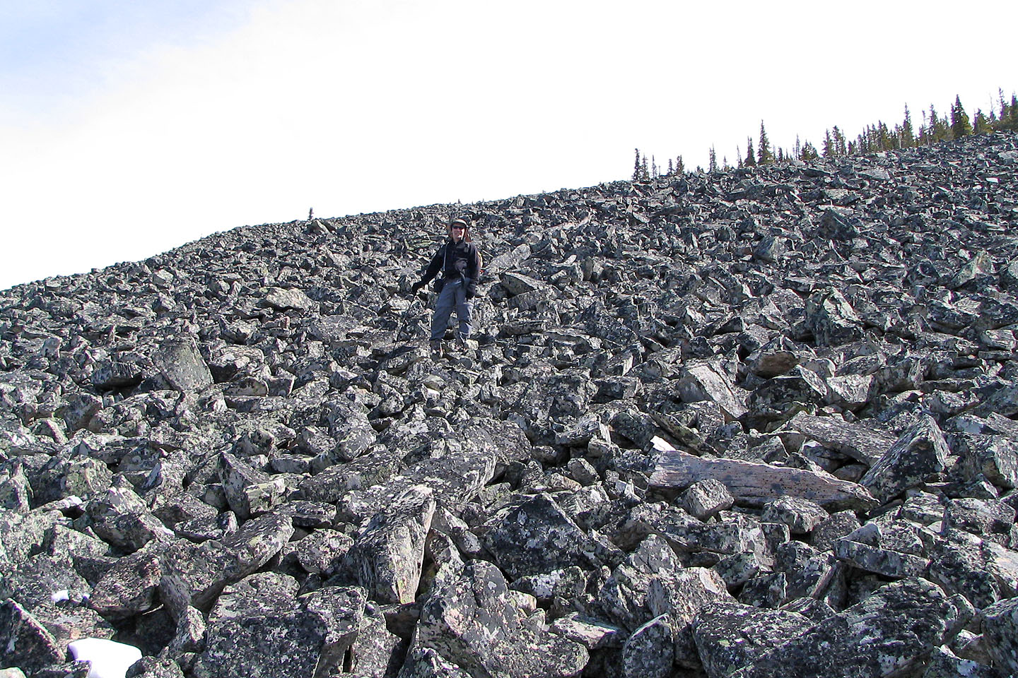
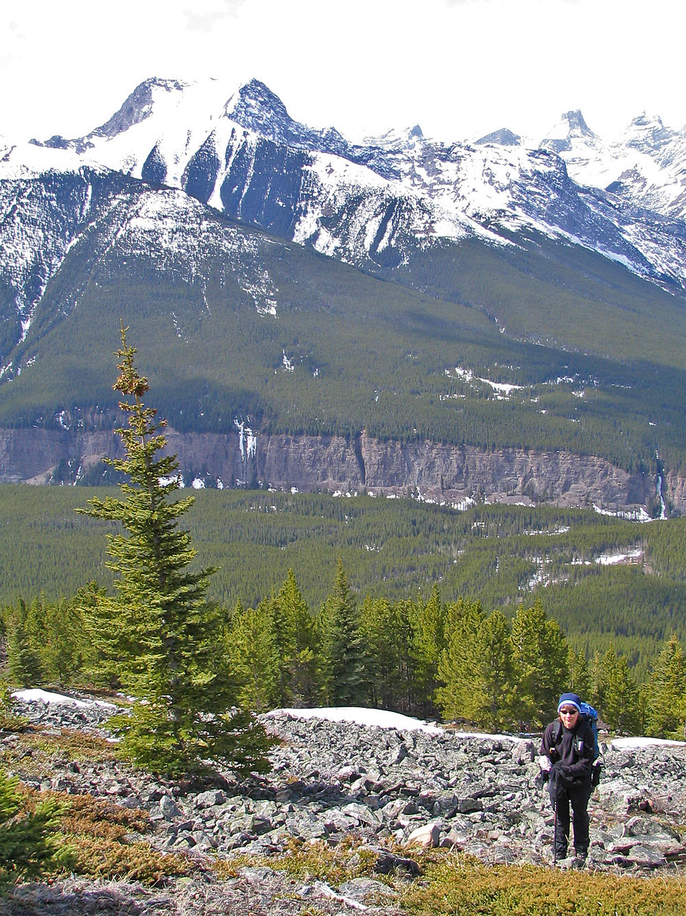
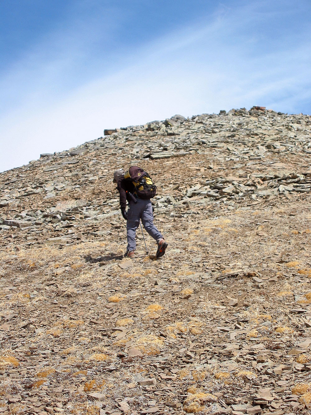
On the talus slope
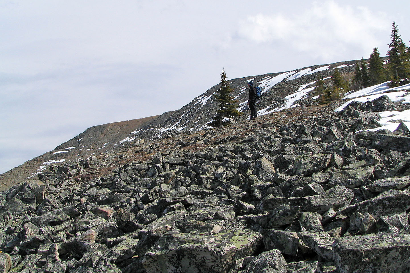
After climbing up the talus, trees barred the way so we skirted left (north) around them
The low ridge on the left is Old Baldy
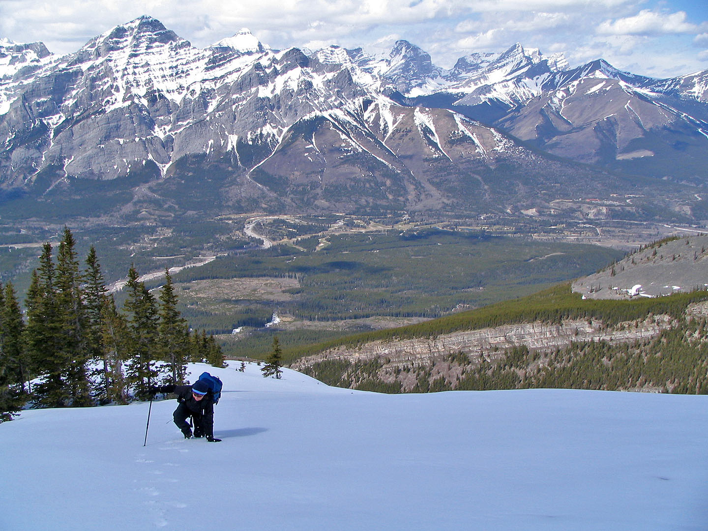
The snow was was mostly firm but sometimes we punched through the crust
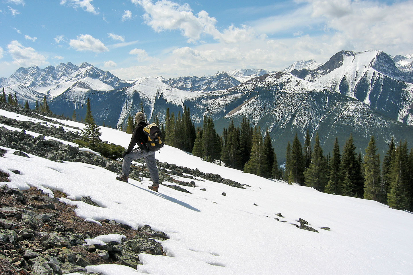
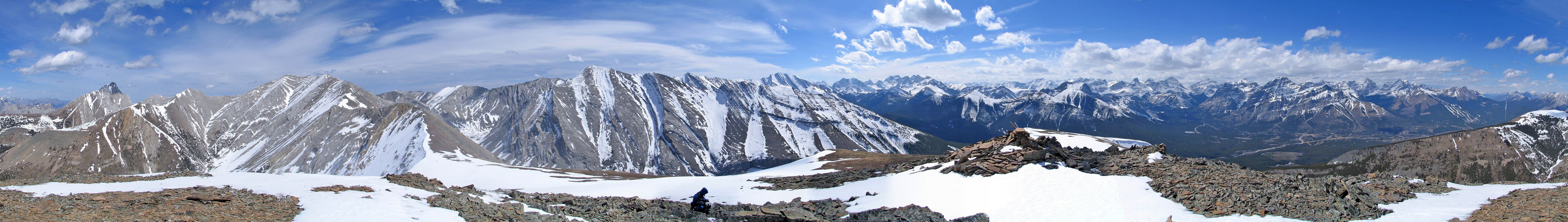
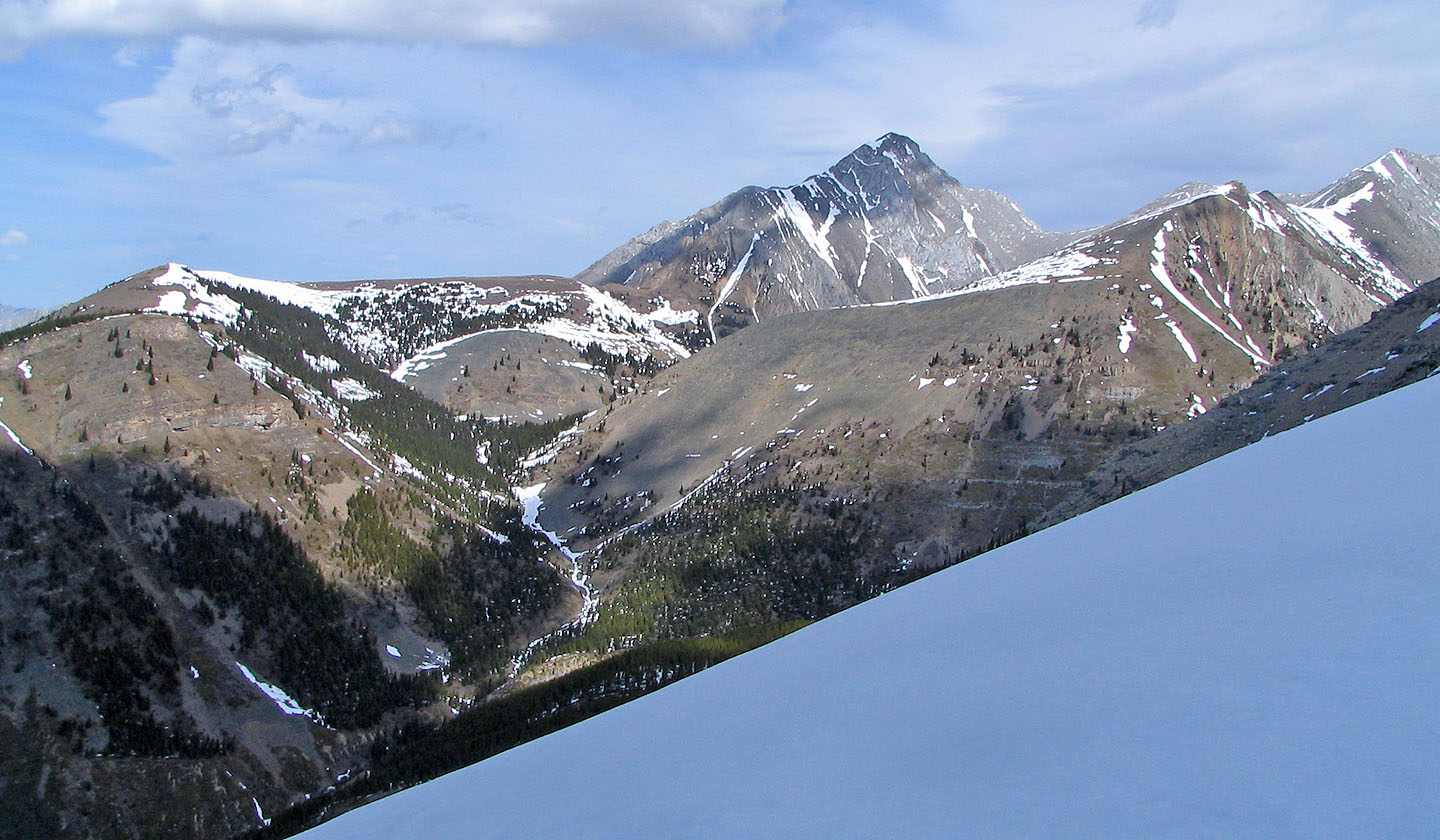
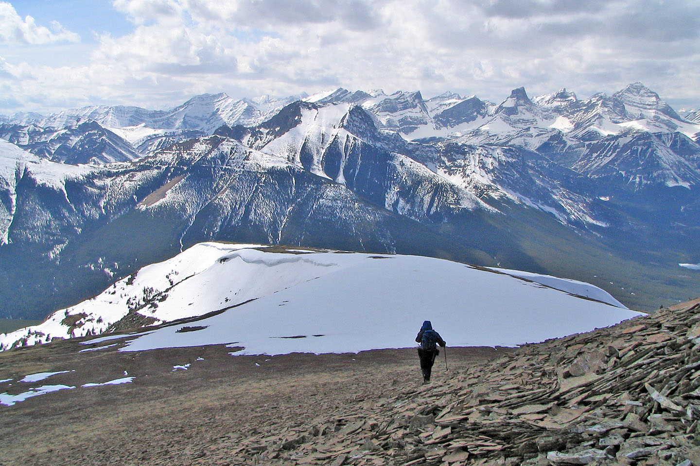
The Wedge (far right)
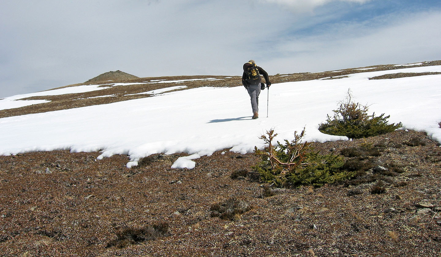
Summit bump comes in view
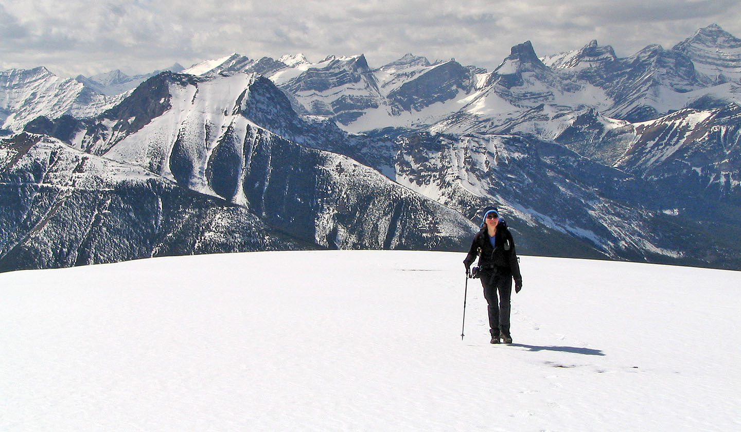
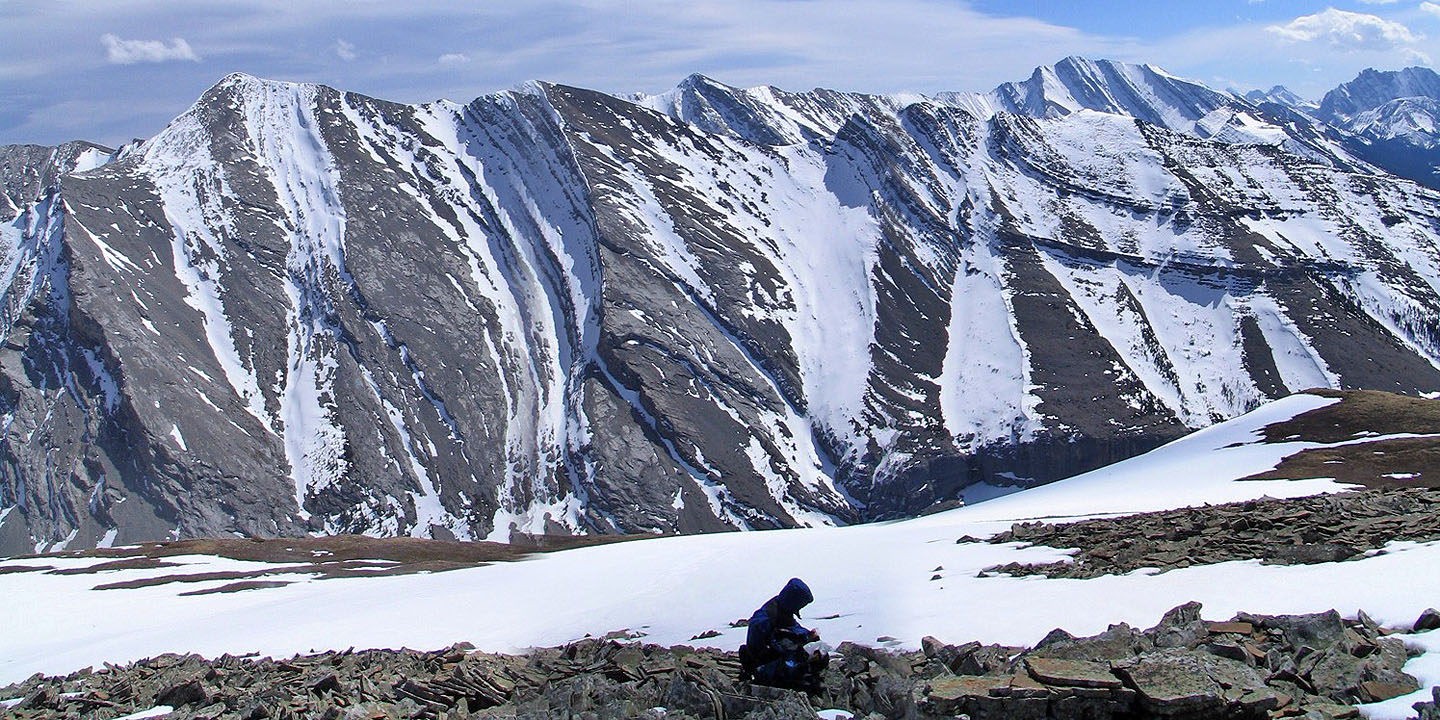
The Fortress (above Dinah)
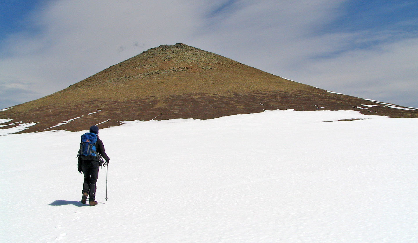
Distinctive shape of the summit
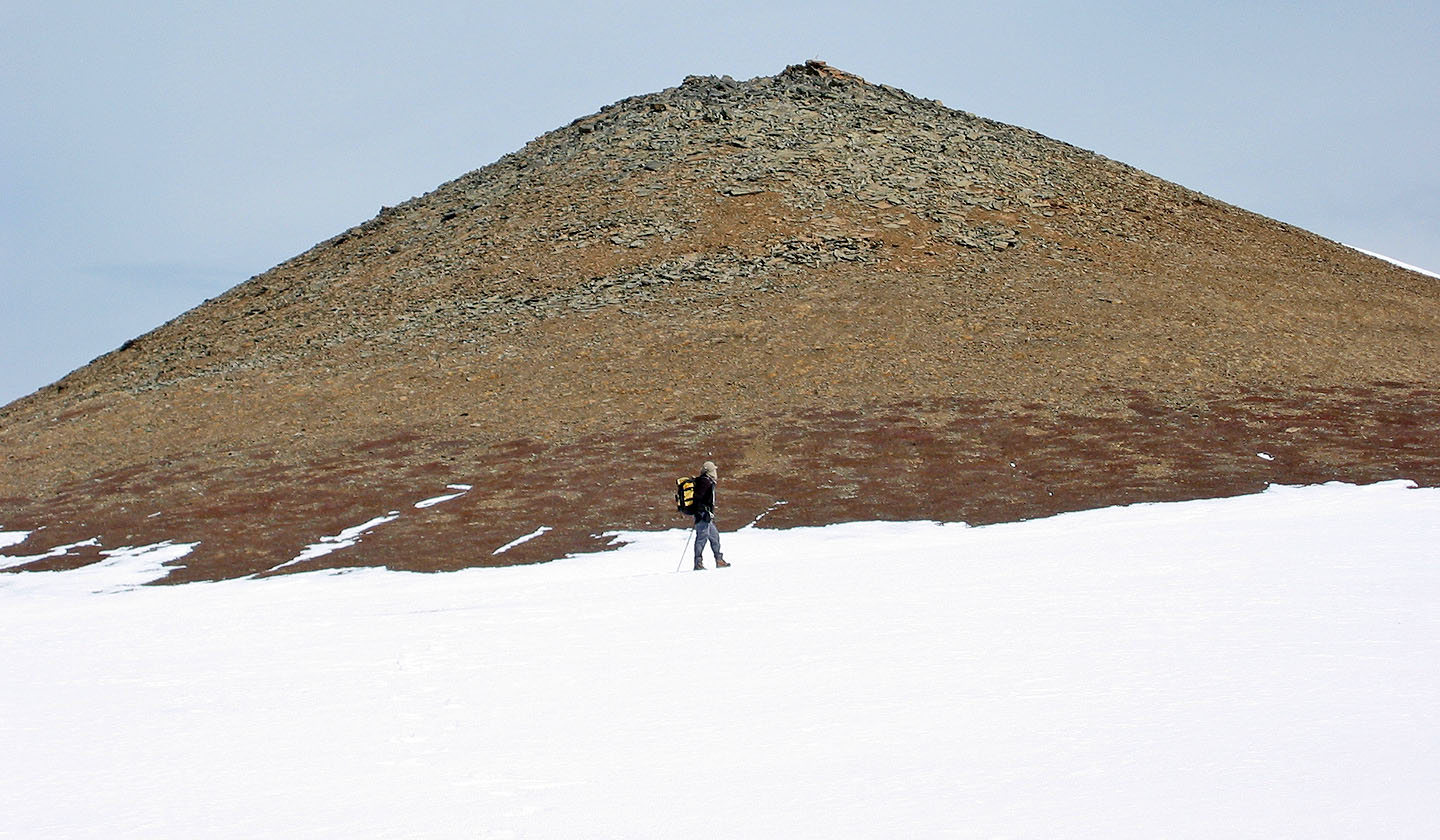
From here it's a short climb to the top
Almost on the summit
Dinah relaxes on the summit
Heading down from the summit
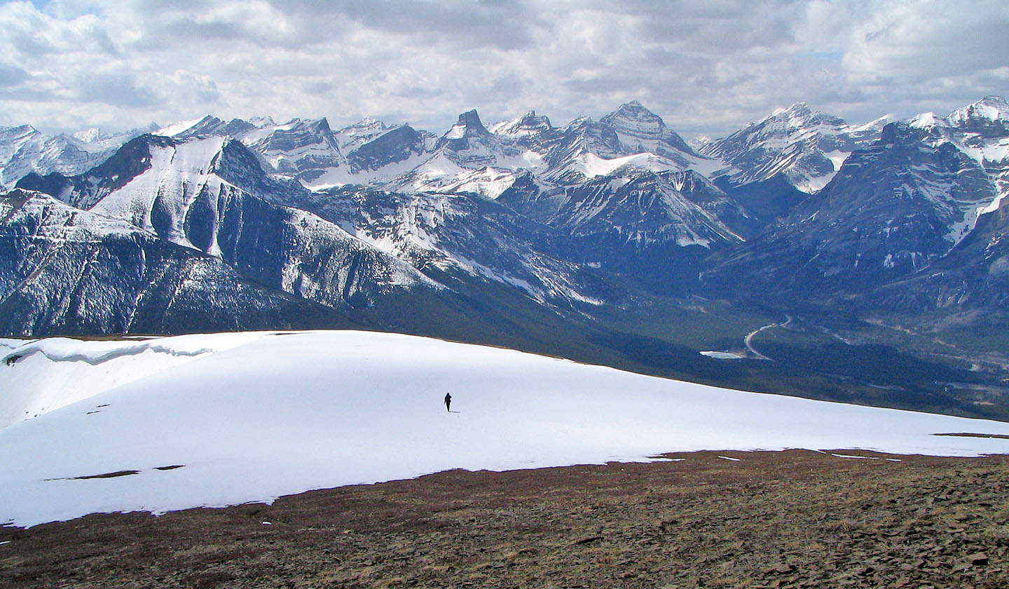
Crossing the snow
82 J/14 Spray Lakes Reservoir