bobspirko.ca | Home | Canada Trips | US Trips | Hiking | Snowshoeing | MAP | About
Old Baldy
Kananaskis, Alberta
July 22, 2017
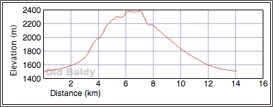
Distance: 14.1 km (8.8 mi)
Cumulative Elevation Gain: 890 m (2920 ft)
After ascending Old Baldy using the southwest ridge, I wondered why this trail wasn’t popularized. Unlike the rocky valley trail, it’s mostly smooth sailing to the summit on a good trail with pleasant scenery to boot. Partway up, one must negotiate a talus slope, but the rocks are stable, firm footing throughout. To make the most of Old Baldy, Zora and I went up the ridge trail and down the valley trail.
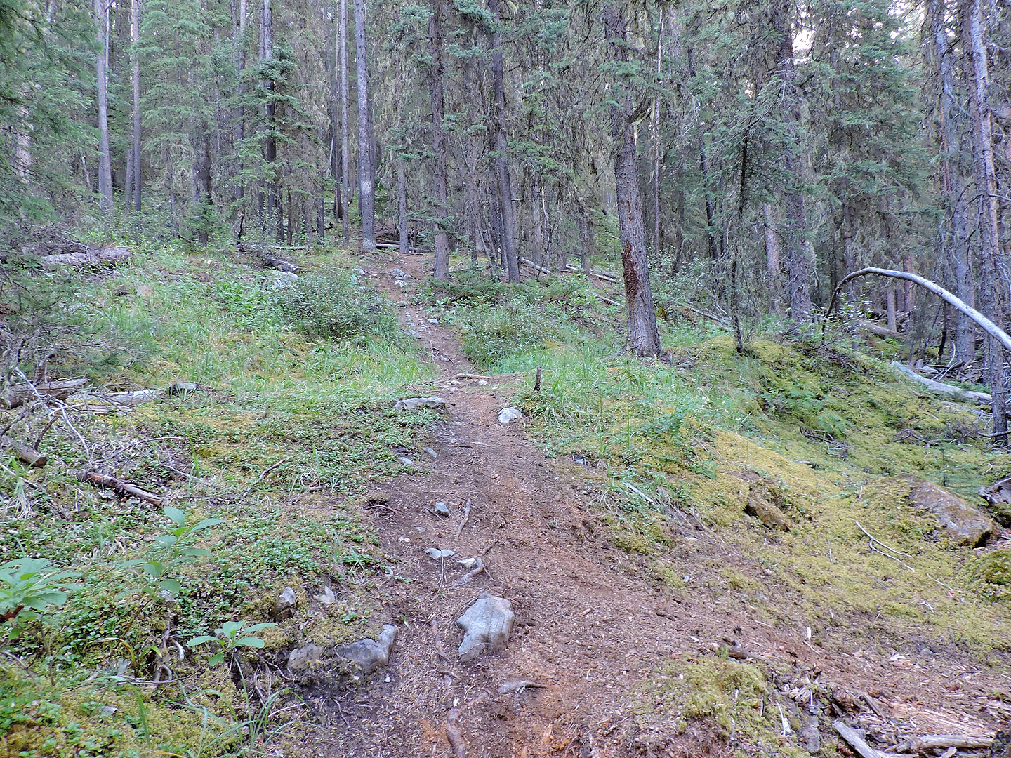
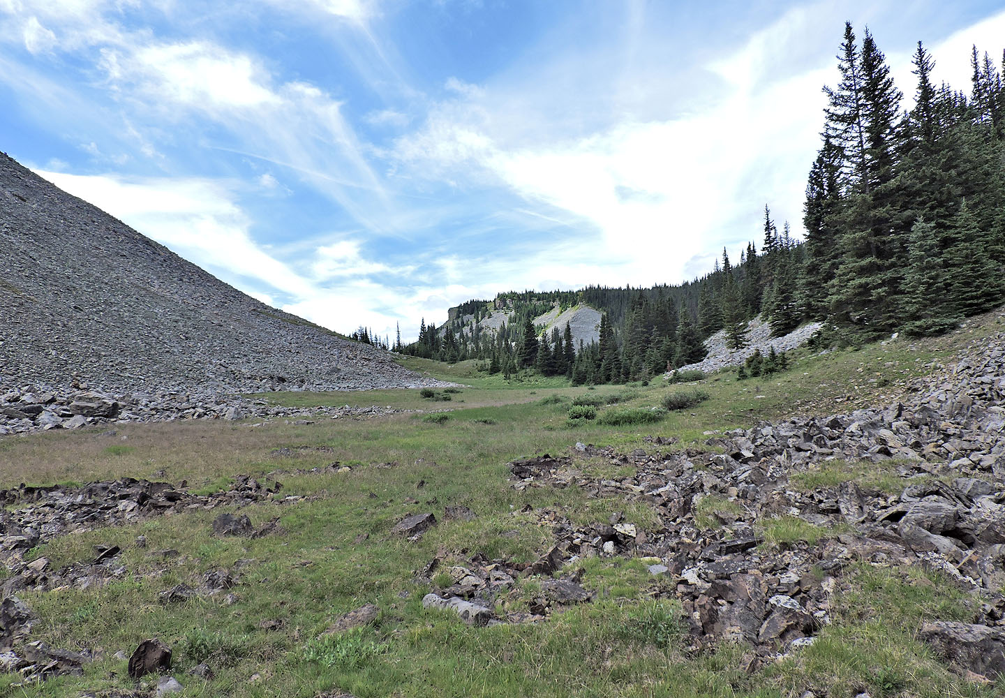
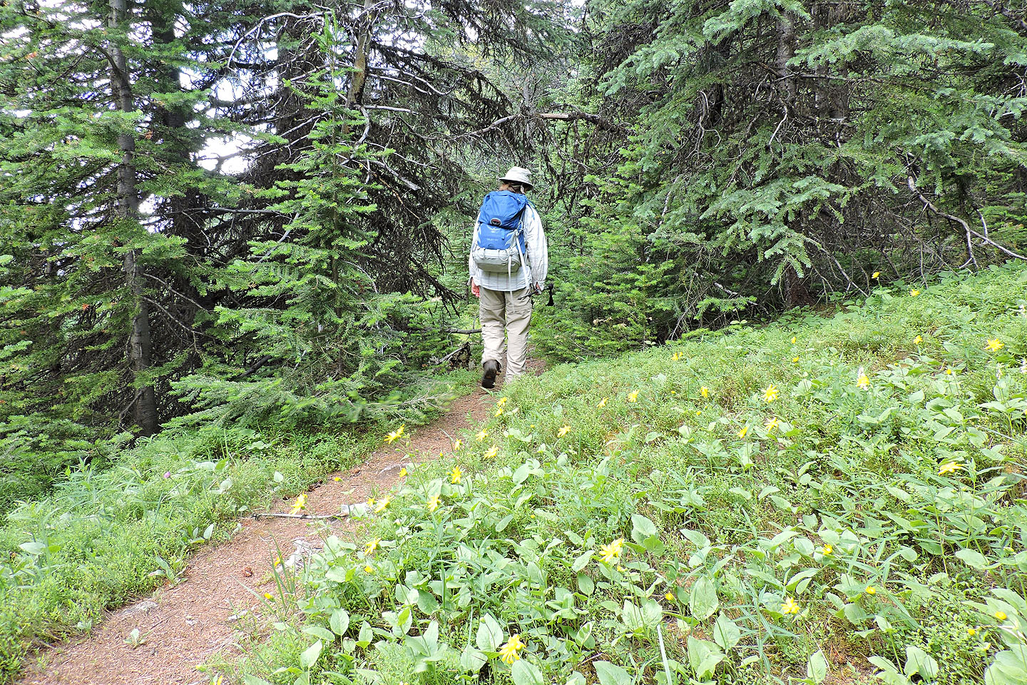
The ridge trail shares the approach with the valley trail. We hiked 2 km up Evan-Thomas trail to the side trail alongside McDougall Creek. Another 600 m brought us to a cairned fork: the valley trail continues along the creek while the ridge route ascends left. We followed the ridge trail in trees for some time before catching clearings that provided a few views. From one of the glades, we caught a glimpse of the talus slope that we had to climb. When we got there, numerous cairns kept us on track through the rocks, and a pika entertained us with its squealing and scampering. In a short time, we regained the ridge crest lined with burnt trees. The trail becomes spotty here and eventually vanished on a plateau, but the open summit ridge of Old Baldy ahead left no question where to go. A final, brief stretch of trail traverses a scree slope before petering out on a grassy slope. When the trail disappeared, we hiked up to the ridge and sauntered to the summit.
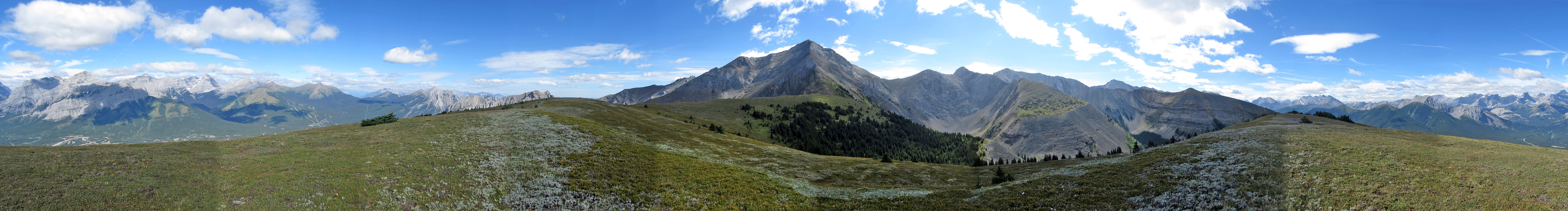
We welcomed the open summit ridge that stretched before us, but the flat summit itself was unmarked and inconsequential. I took a panorama but darting clouds wreaked havoc, creating a patchwork of shadows. We picked a spot out of the wind and relaxed for an hour before continuing west along the ridge. Just before reaching the col at the far end, we dropped down to a cobalt tarn where we picked up the valley trail.
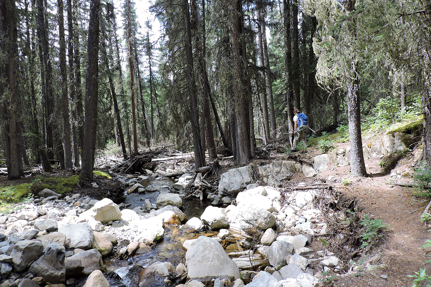
We were concerned about the effects of the 2013 flood on the valley trail, but to our surprise, good detours are in place, and the trail runs nearly seamlessly. The valley trail offered little of interest, and as we hiked back, we agreed that the southwest ridge was the preferred route for Old Baldy.
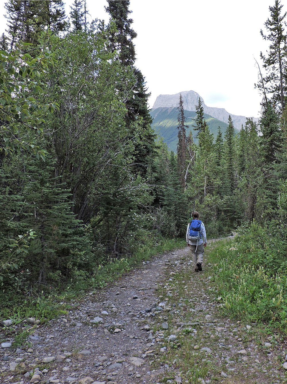
Hiking up Evan-Thomas trail. The side trail is just ahead.

Turning off onto the McDougall Creek trail
The ridge trail splits from the creek trail
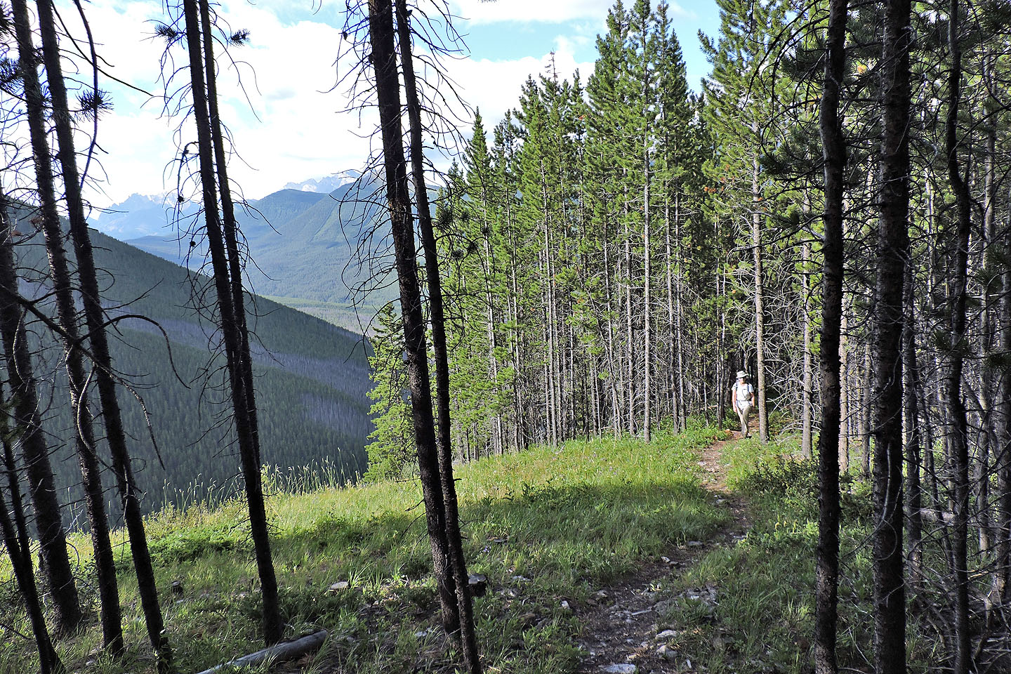
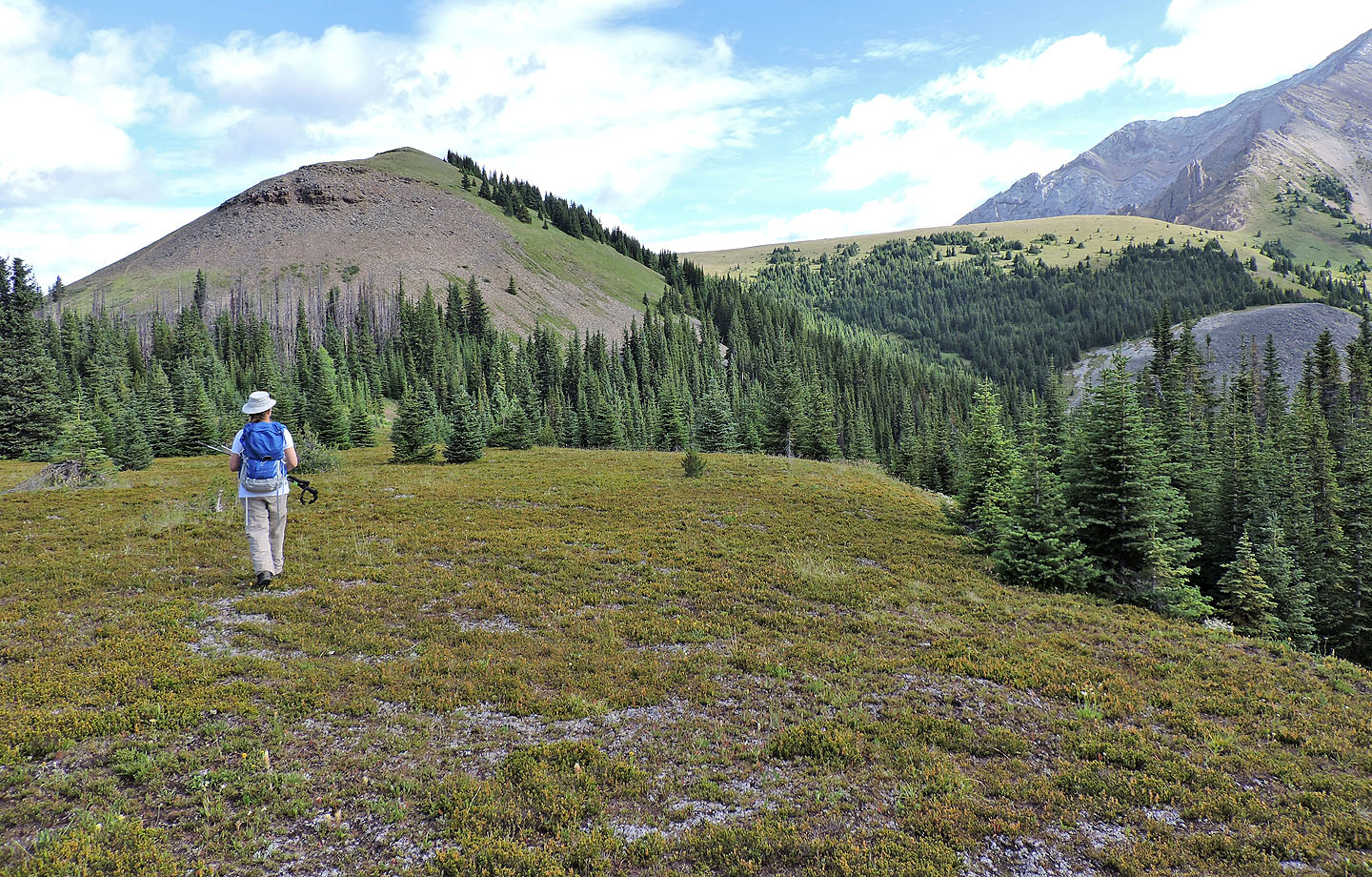
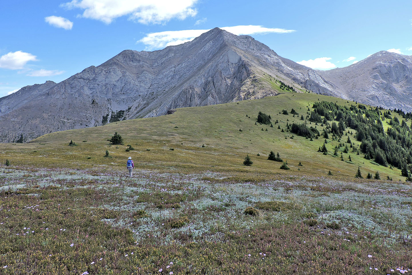
The trail mostly follows the ridge crest
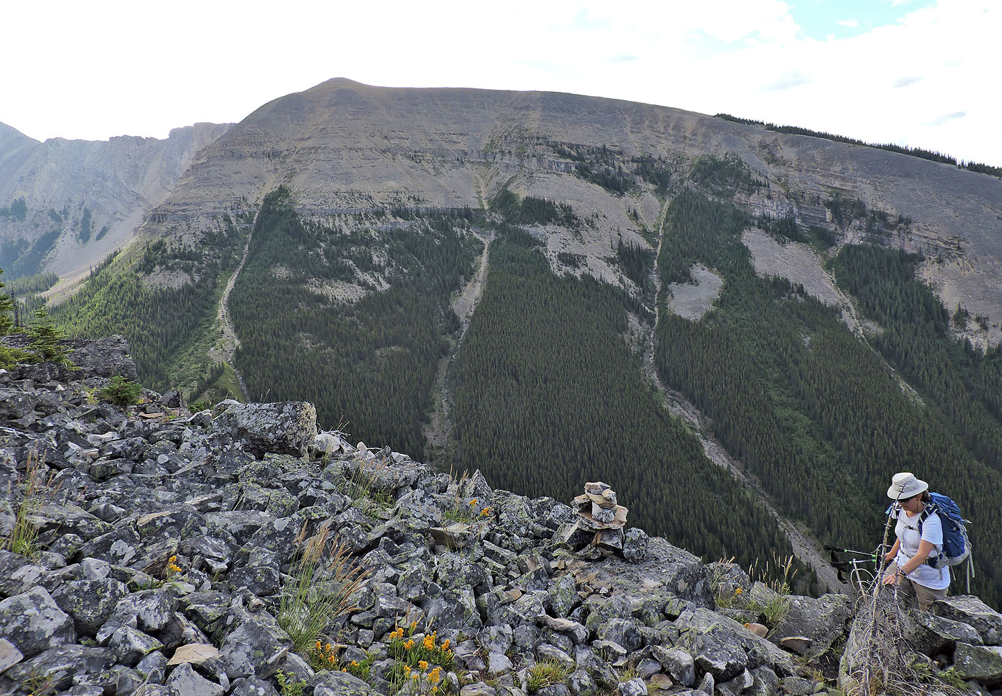
A huge talus slope lies ahead
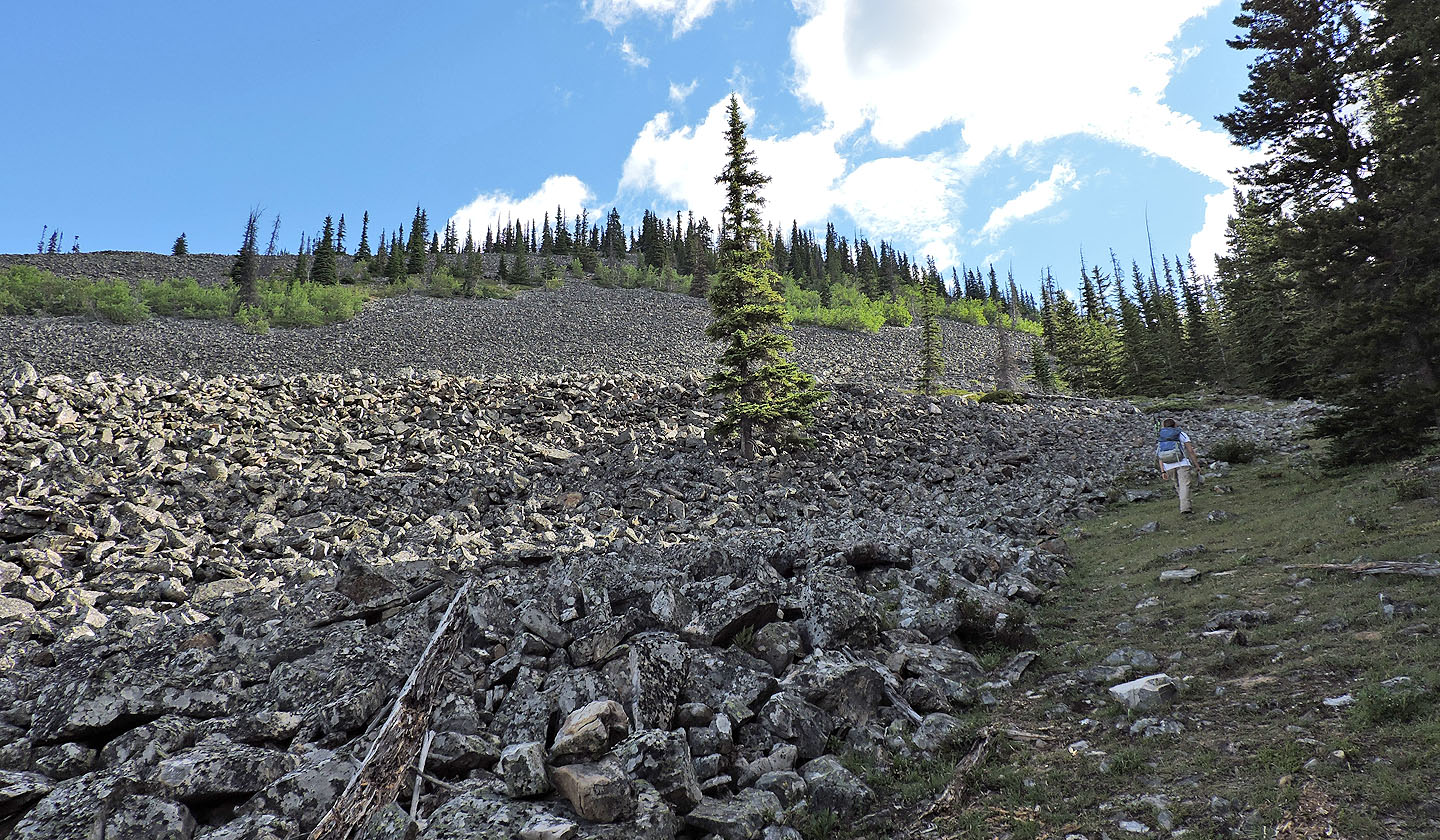
The route skirts the edge of the rocks
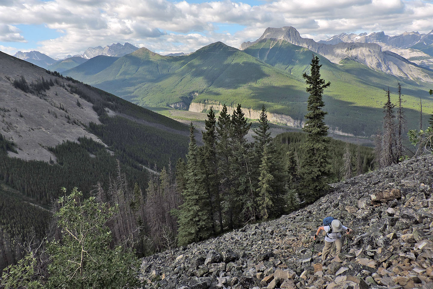 Then it runs up the talus slope. In the background are Mackay Hills and The Wedge.
Finally we get off the talus slope and onto the ridge. Behind is Volcano Peak.
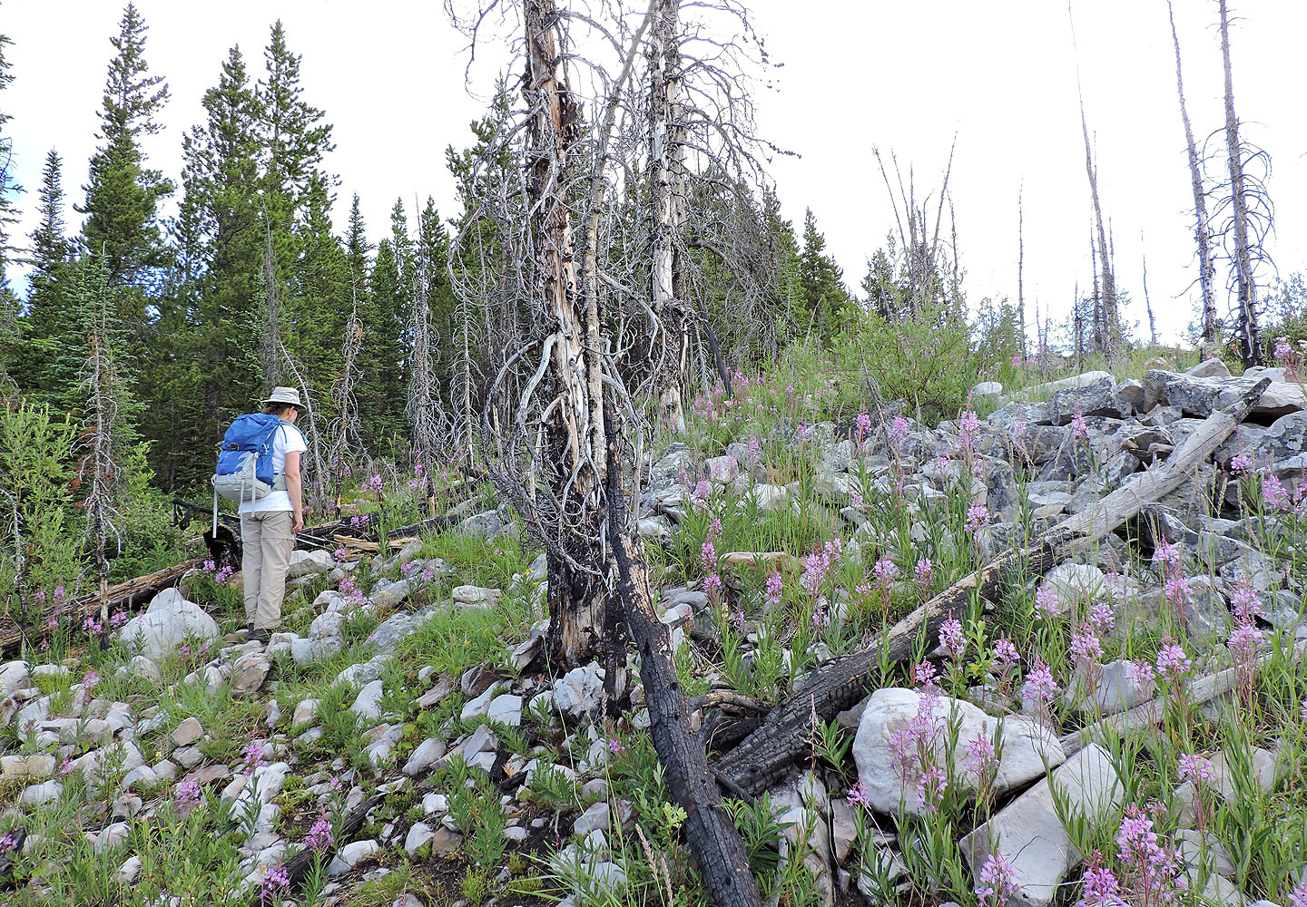
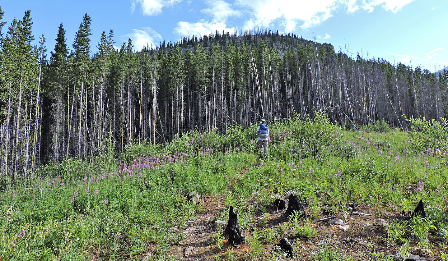
Rampikes and fireweed cover the next ridge section
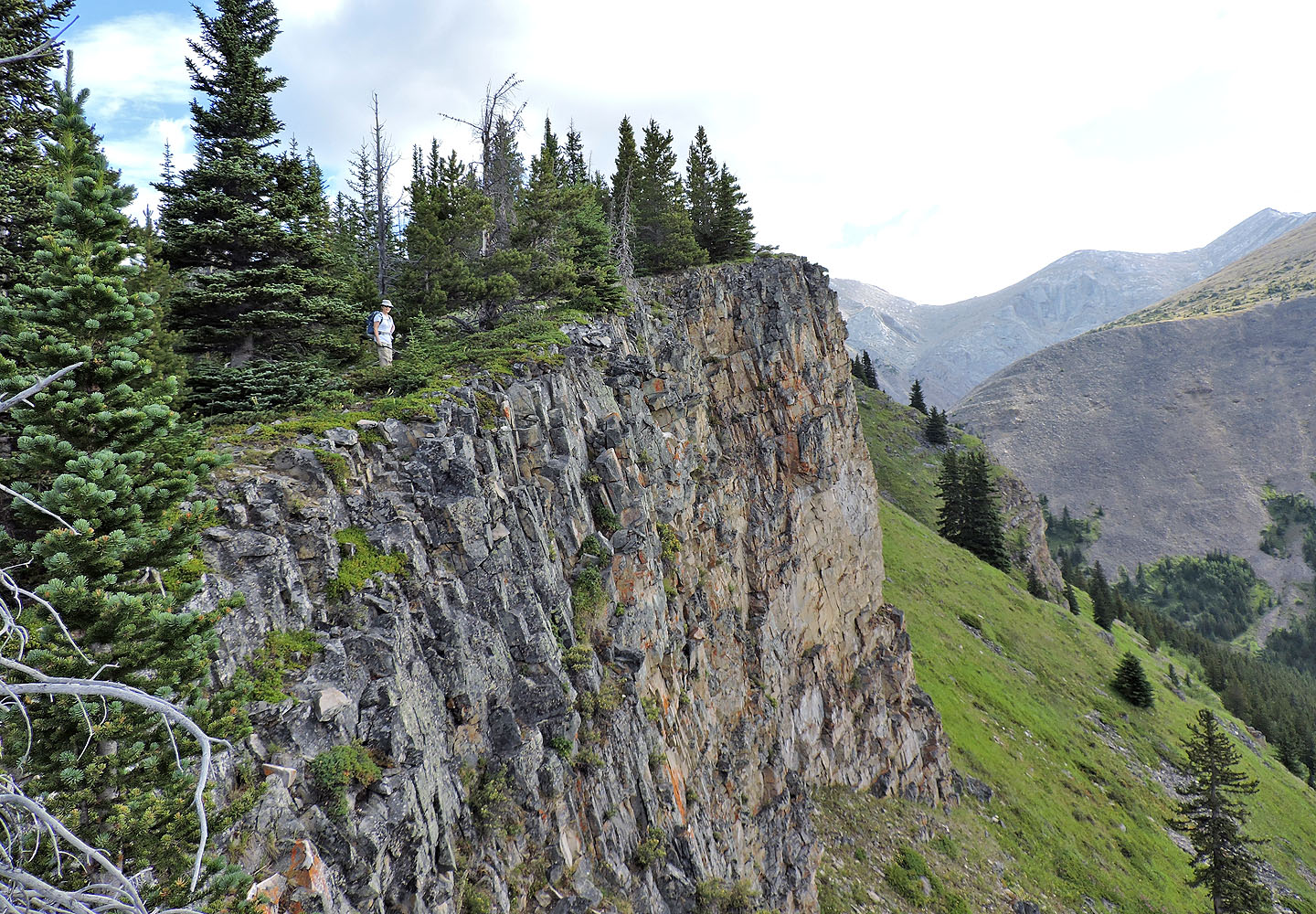
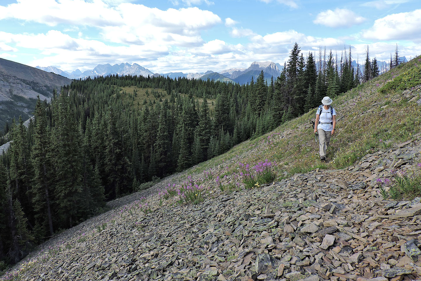
The trail follows the clifftops

More cliffs ahead
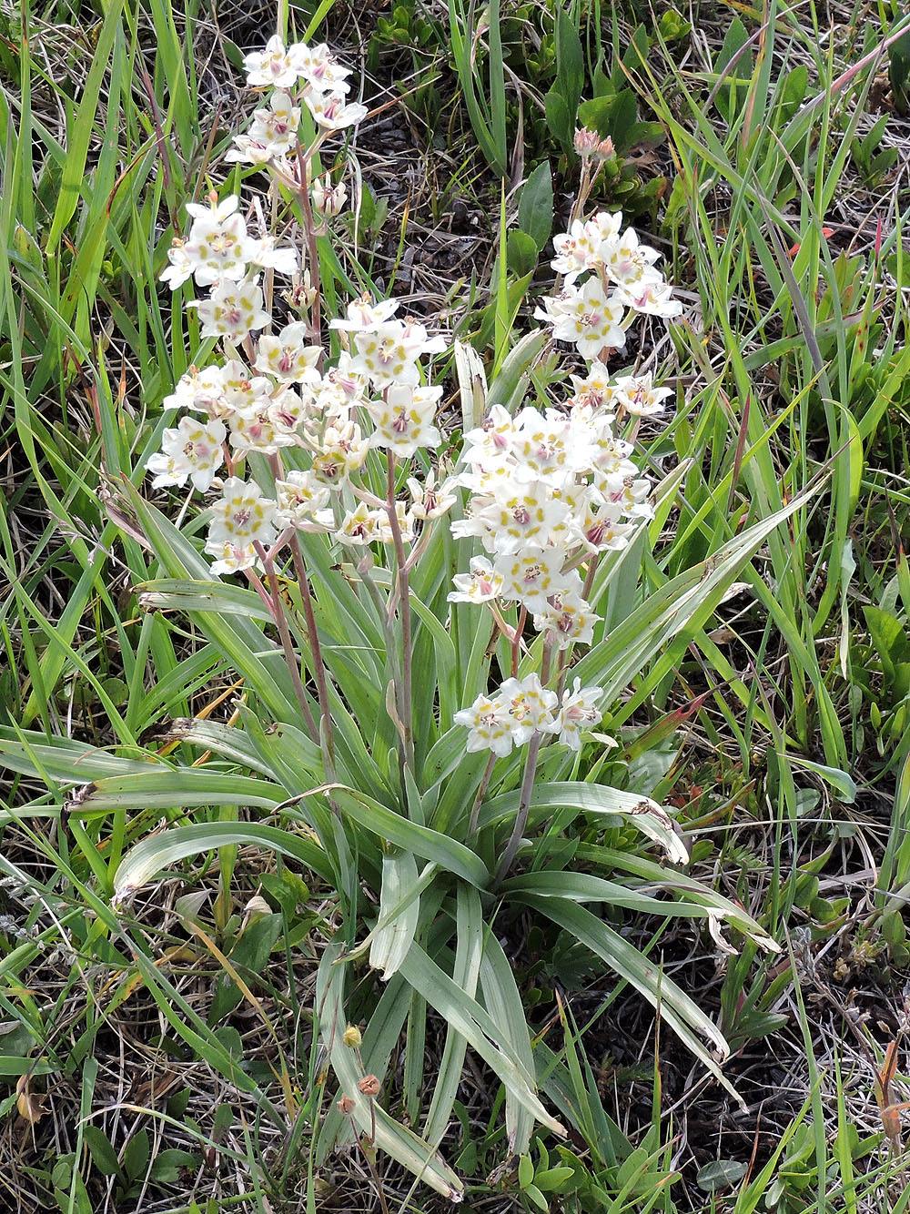
White camas, a poisonous plant
The trail disappears on a plateau and reappears on the scree slope ahead only to vanish in the grassy slope
On the trail in the scree
After the trail disappeared we hiked up to the ridge
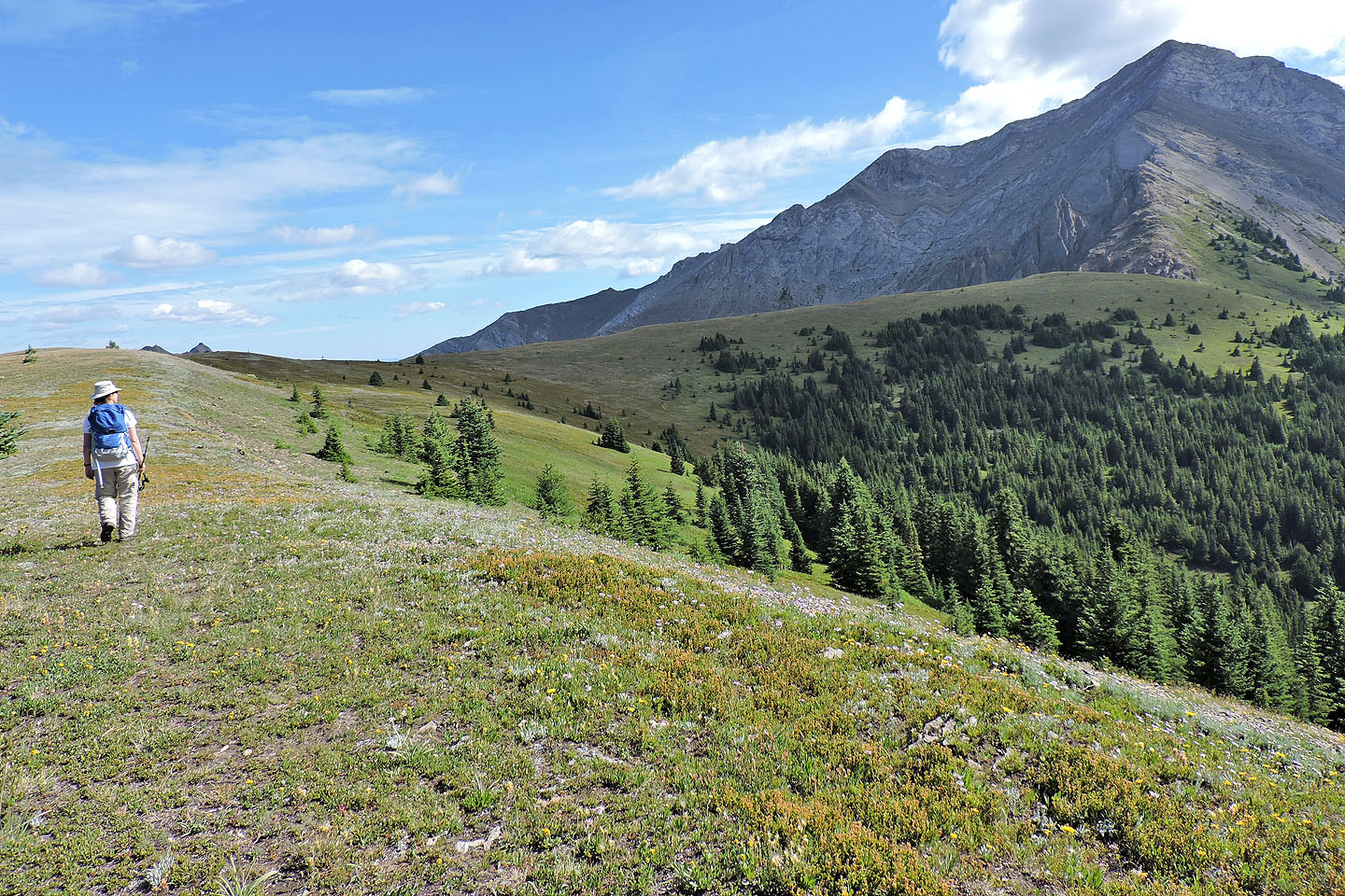
We followed the curve of the ridge to the grassy summit on the right and dropped down to a tarn
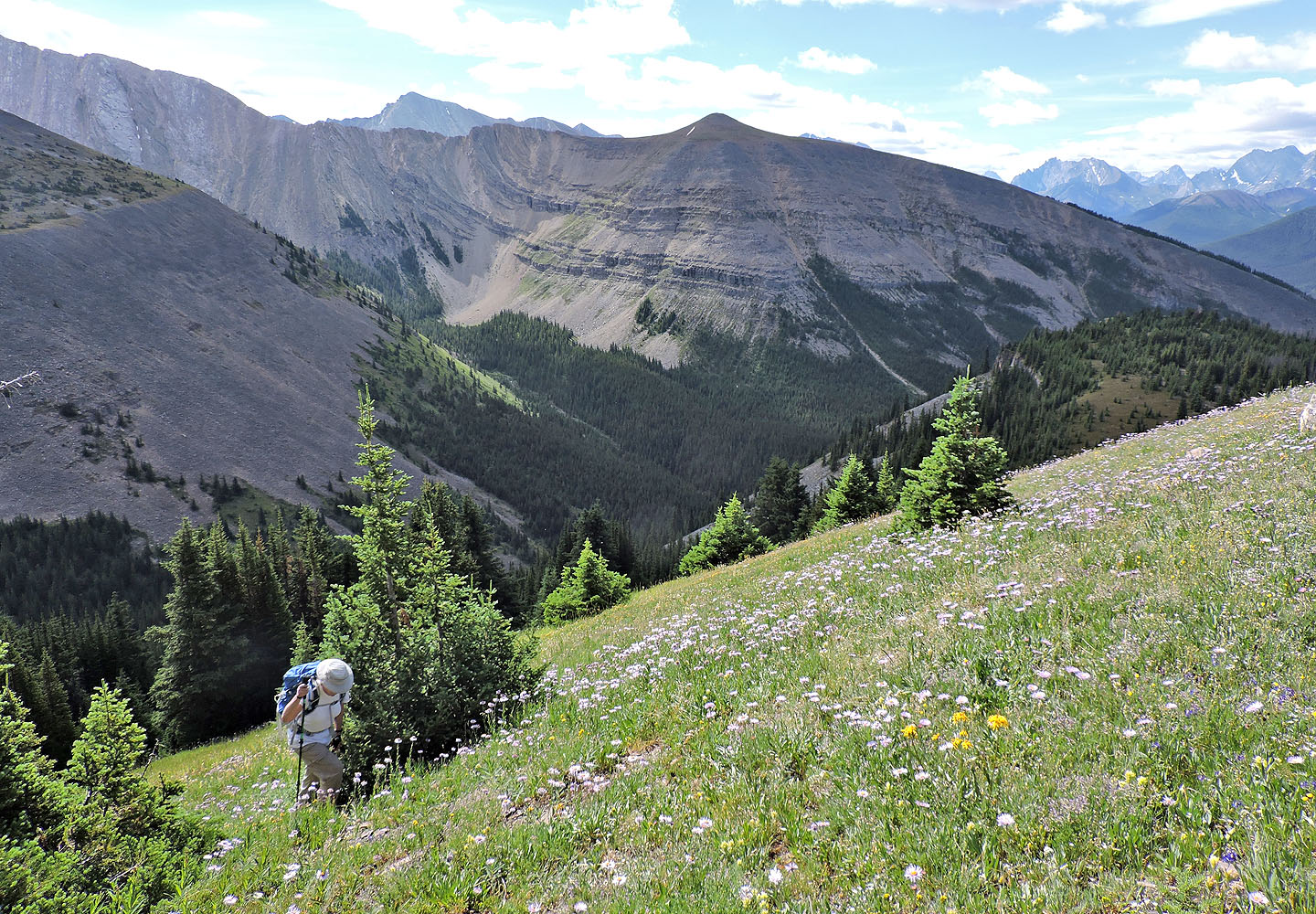
Old Baldy Mountain ahead
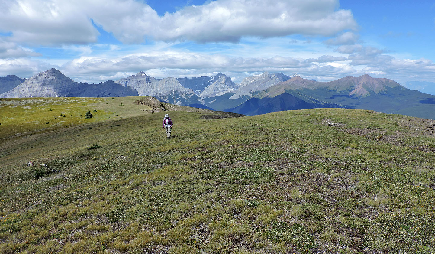
Looking back along the expansive summit ridge
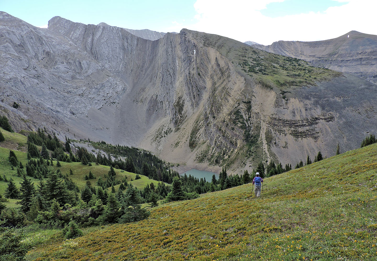
We headed to the tarn
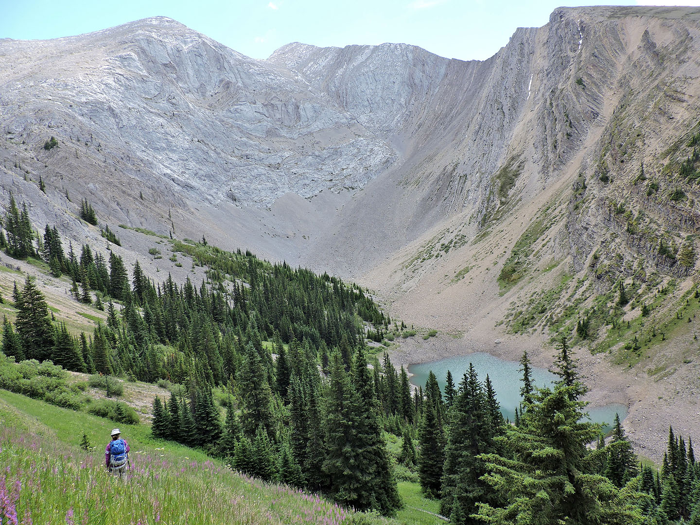
On the lower slope, we came across a trail and followed it to the lake
We picked up a trail in the valley where it soon turned into the trees
We passed a patch of heart-leaf arnica (mouse over)
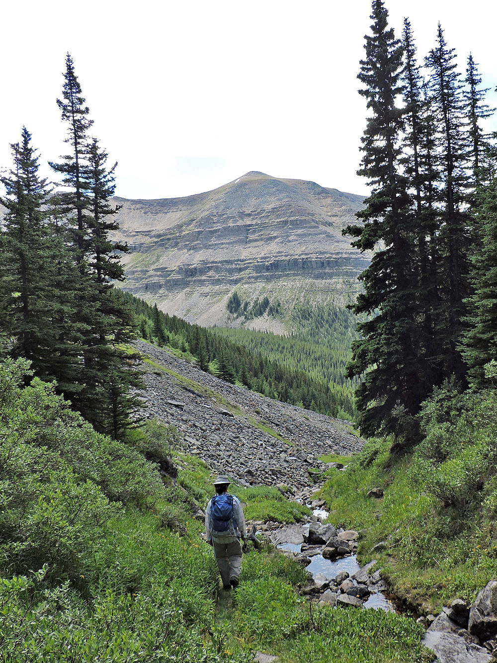
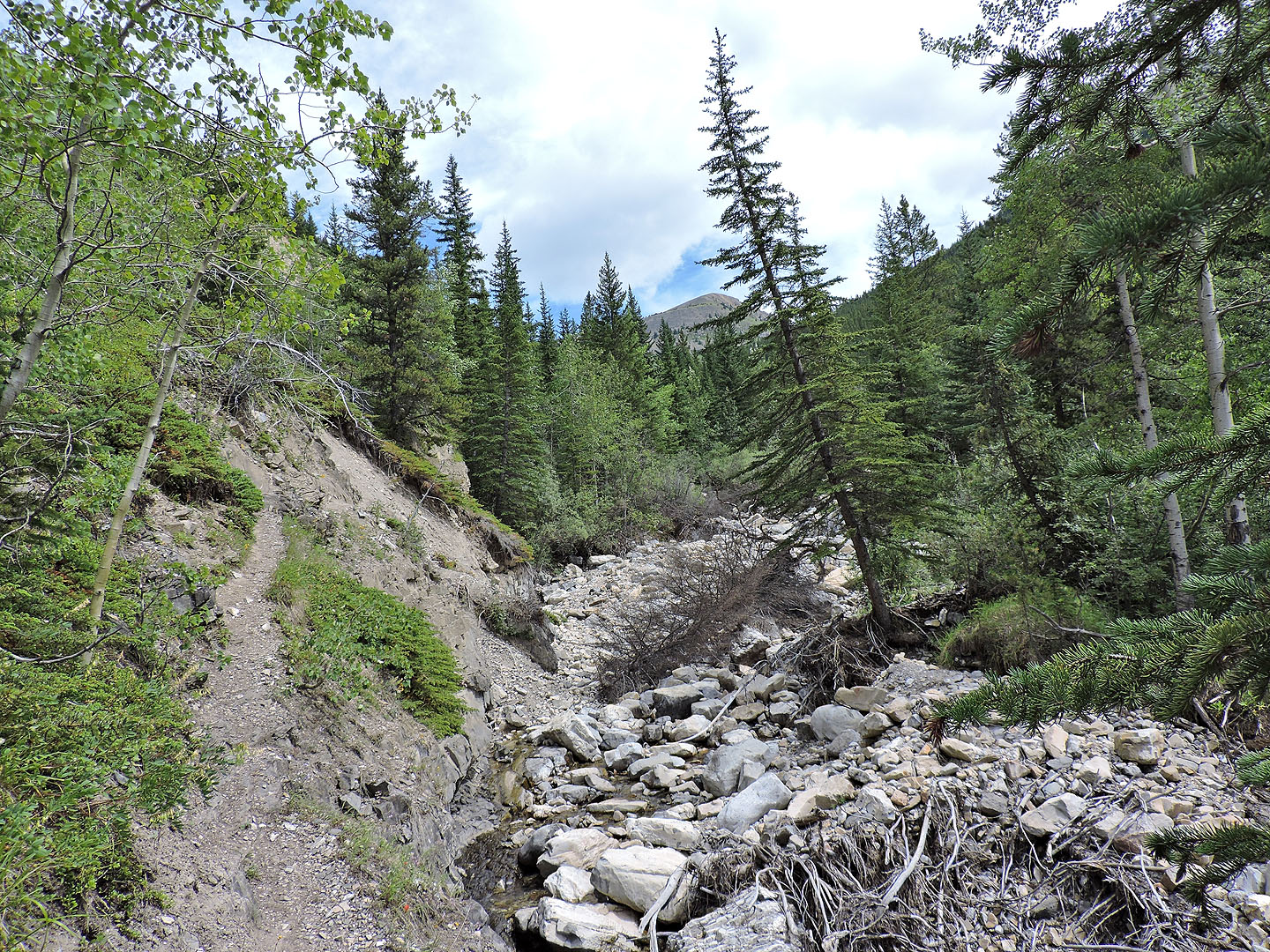
The trail follows a side creek that drains into McDougall Creek
The fork where the side creek meets McDougall Creek
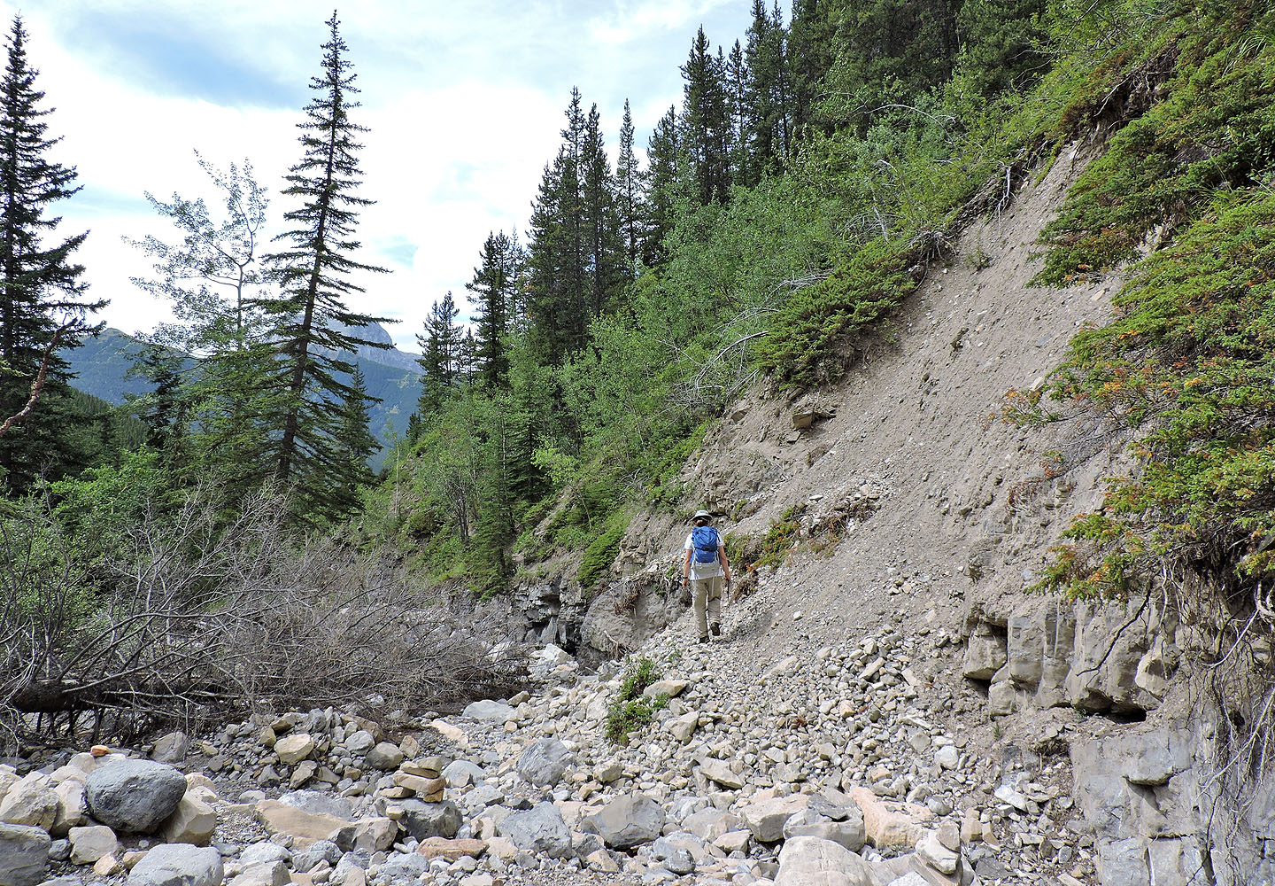
Part of a trail cuts into the bank above Zora; the initial section was lost in the 2013 flood
Starting along the trail
Looking back at the trail
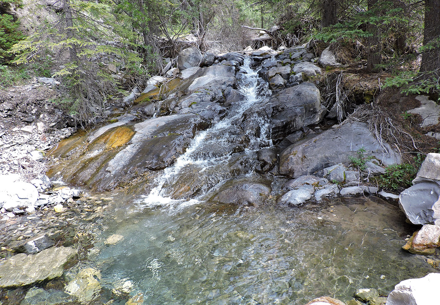
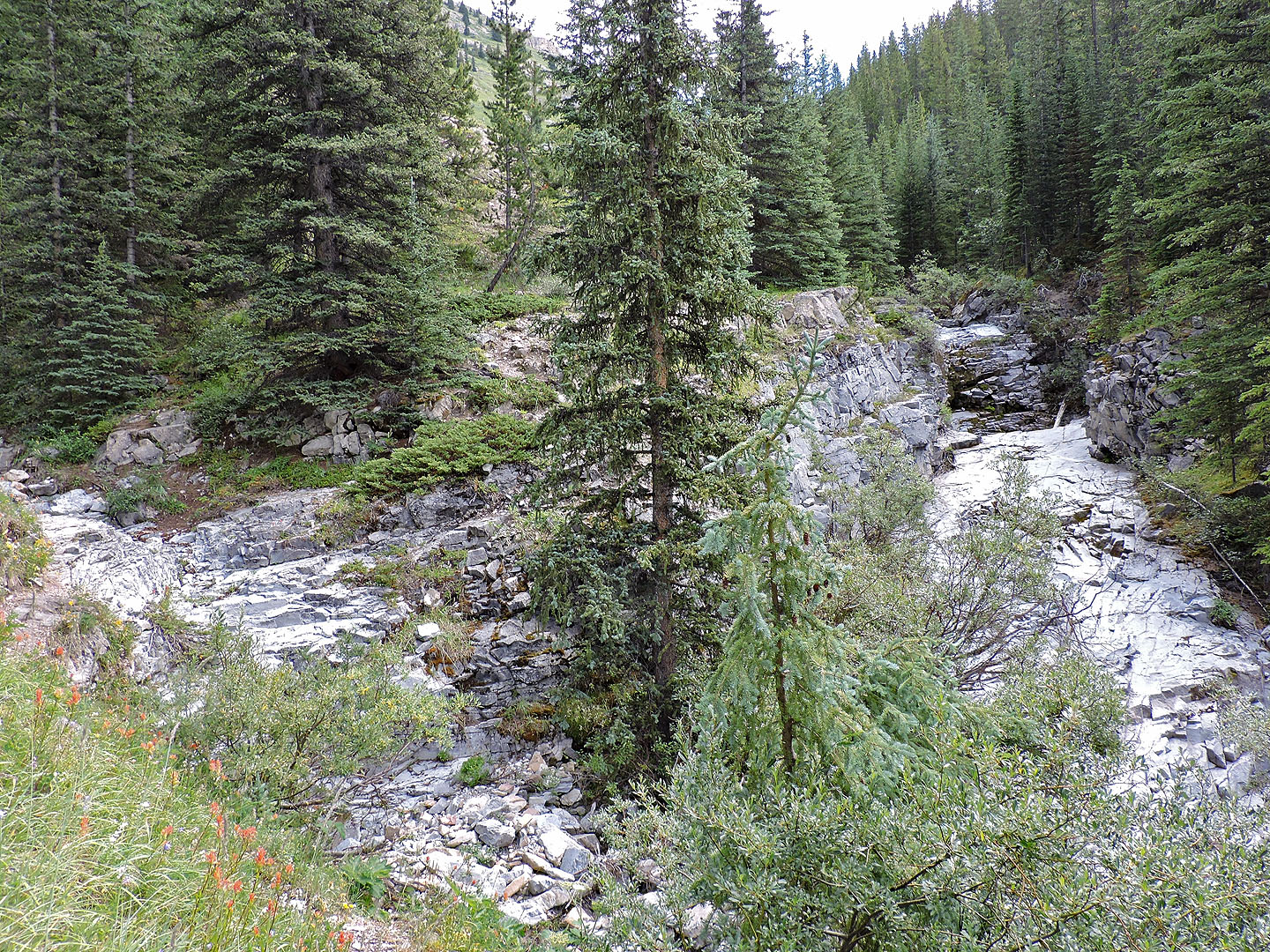
Cascading water
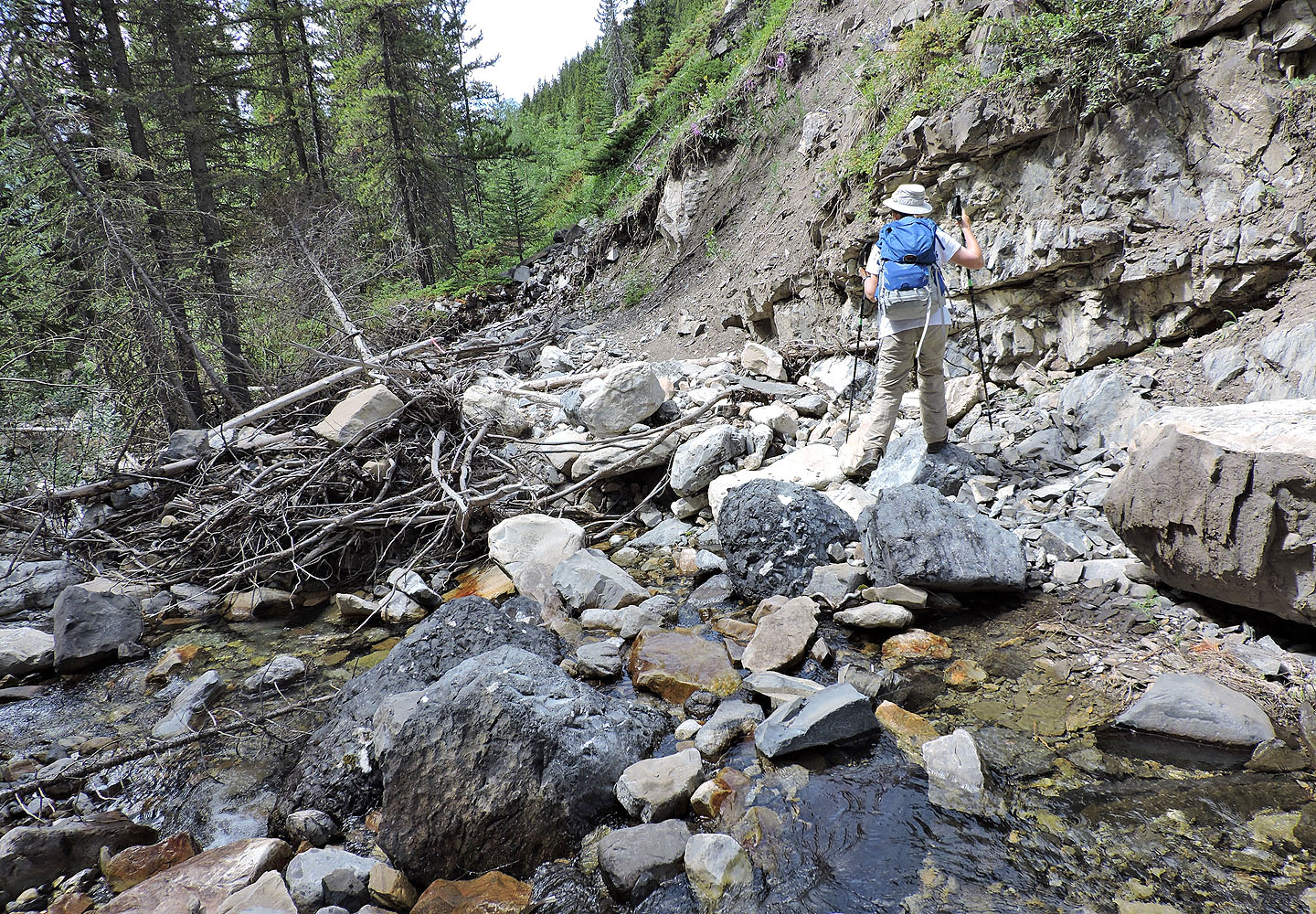 There were a few creek crossings, but none left our feet wet
We're almost at the junction where the ridge trail begins
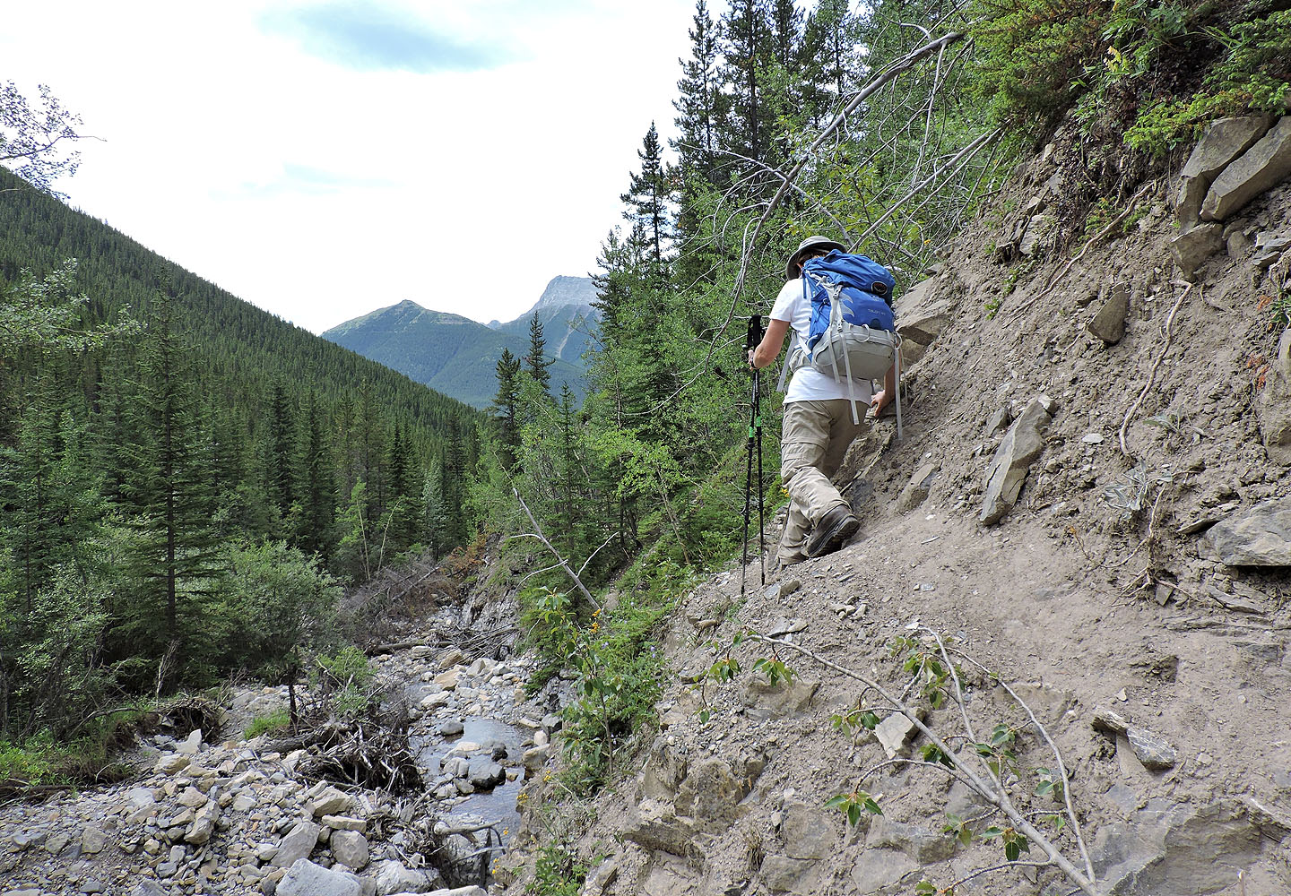
Hiking back on a newly-built section of trail
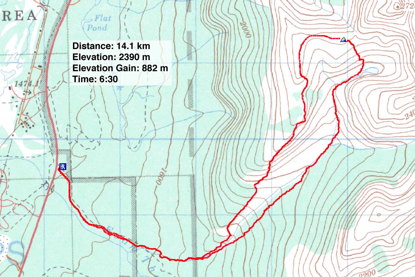
82 J/14 Spray Lakes