bobspirko.ca | Home | Canada Trips | US Trips | Hiking | Snowshoeing | MAP | About
Storethusa Ridge
Kananaskis, Alberta
August 30, 2024
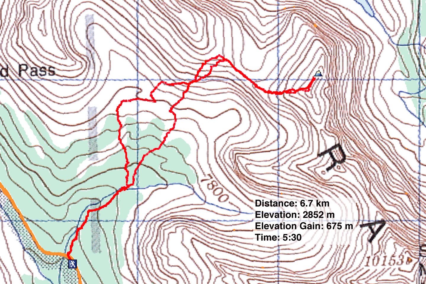
Distance: 6.7 km (4.2 mi)
Cumulative Elevation Gain: 760 m (2493 ft)
Storethusa Ridge offers an easy ascent from Arethusa Cirque. A steep, scree hike from Arethusa-Storm Col reaches the top of Storethusa. The col, in turn, can be reached using trails running through the cirque and up a scree slope. As you might have guessed, Storethusa lies between Storm Mountain and Arethusa Peak. For a modest elevation gain, Storethusa Ridge offers far-ranging views of the Highwood Range, Elk Range and beyond.
Fortunately the summit views were superb because the conditions were not. Melting snow had left the trails in the cirque muddy and slippery, while clouds resisted the sun's attempt to appear. Furthermore, once Wayne and I left the forest, we were exposed to strong, westerly winds; we found no respite from the gale anywhere above the treeline.
The trail for Arethusa Cirque begins south of Highwood Pass. 800 m from the trailhead, the trail splits three ways. We crossed Arethusa Creek and took the left fork. Although longer, it soon opened up to give us a nice view of the col and Storethusa.
On the other side of the cirque, we made our way up the scree slope using a hodge-podge of trails that tended to disappear in the rocks. We headed to the right side of a prominent buttress where trails reached the southeast ridge of Mount Arethusa.
After dropping 50 m to the col, we hiked up the scree on the broad west ridge of Storethusa. We went straight up before realizing Storethusa had two summits. After reaching the south summit, we followed a short, rugged ridge to the cairned north summit, one metre higher according to my GPS. The summit register dates back to 2019, although Nugara climbed Storethusa in 2007.
We identified peaks near and far, took several photos and then quickly descended to the col. There we took a slightly lower trail, one that goes down a rock chimney to the scree slope. We descended the slope to the centre trail in the cirque and followed it back to our car.
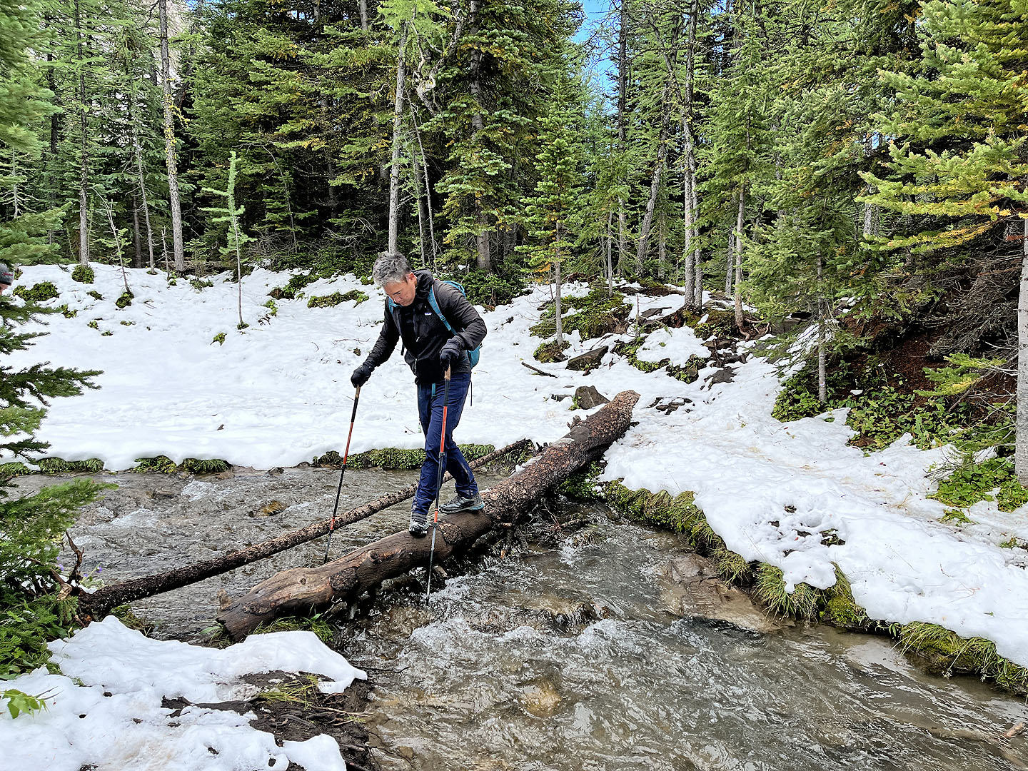 Wayne carefully crosses a slippery log
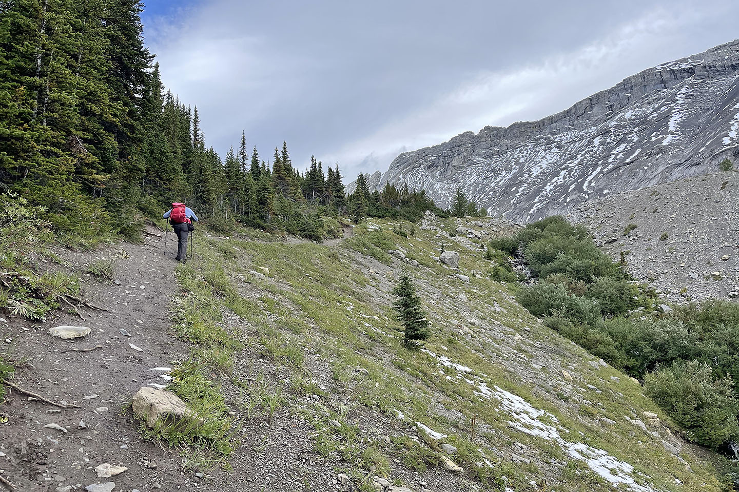 We took the left fork which is more scenic
 Looking back after reaching the open cirque
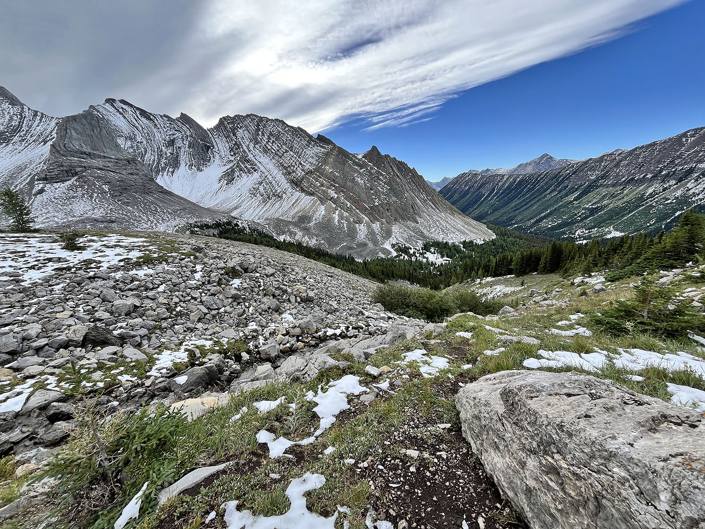
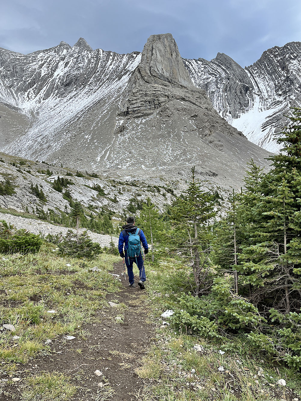
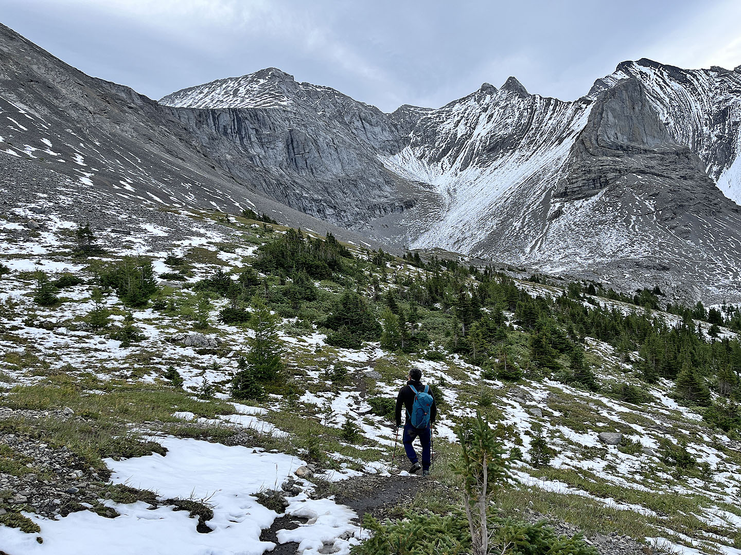 The col and Storethusa Ridge are on the left
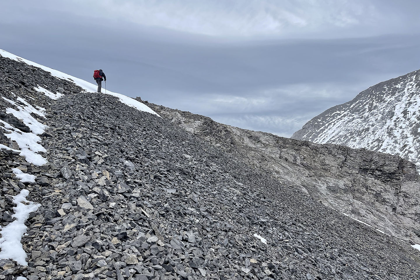
 We followed a scree ramp to where it intersected a trail in the slope
 The trail is barely visible in the centre
 Looking back after losing the trail in the scree
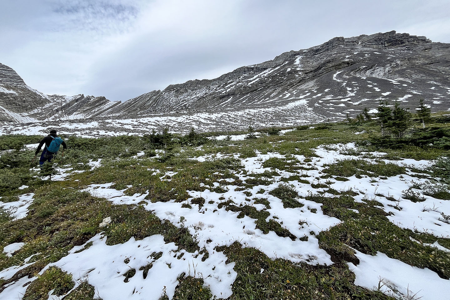
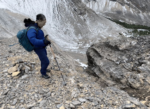
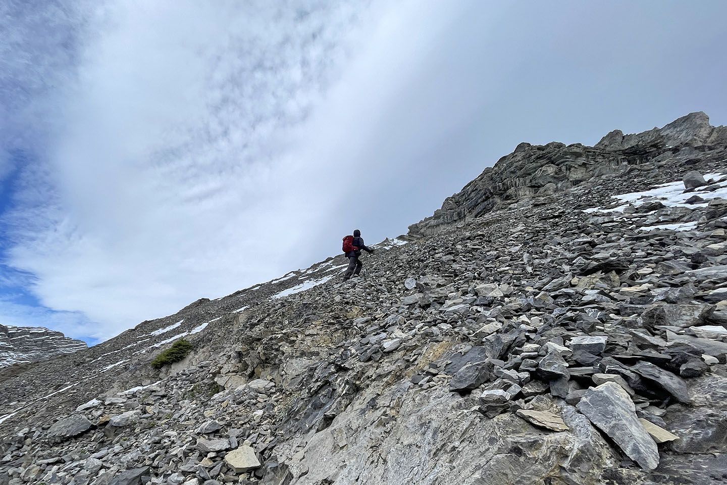 We saw no sign of a trail here but headed to the right side of the buttress above
 Wayne slogs up the scree slope with our objective in view
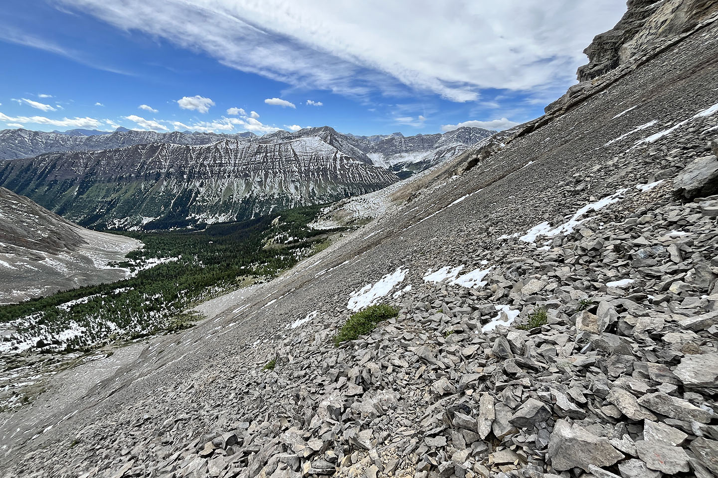
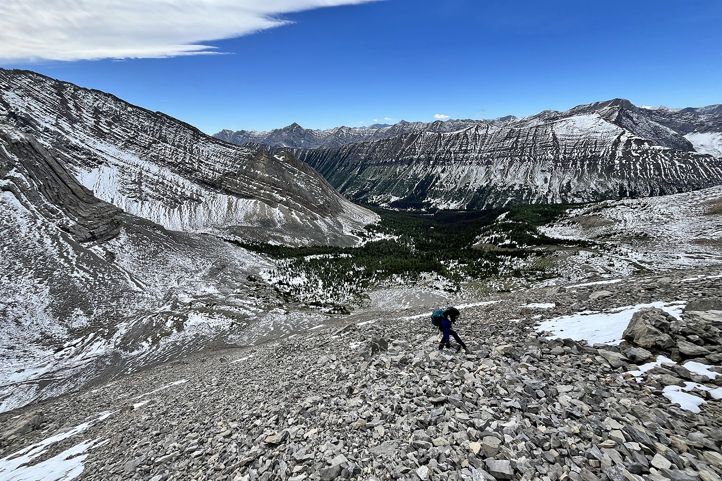 Looking down at Arethusa Cirque
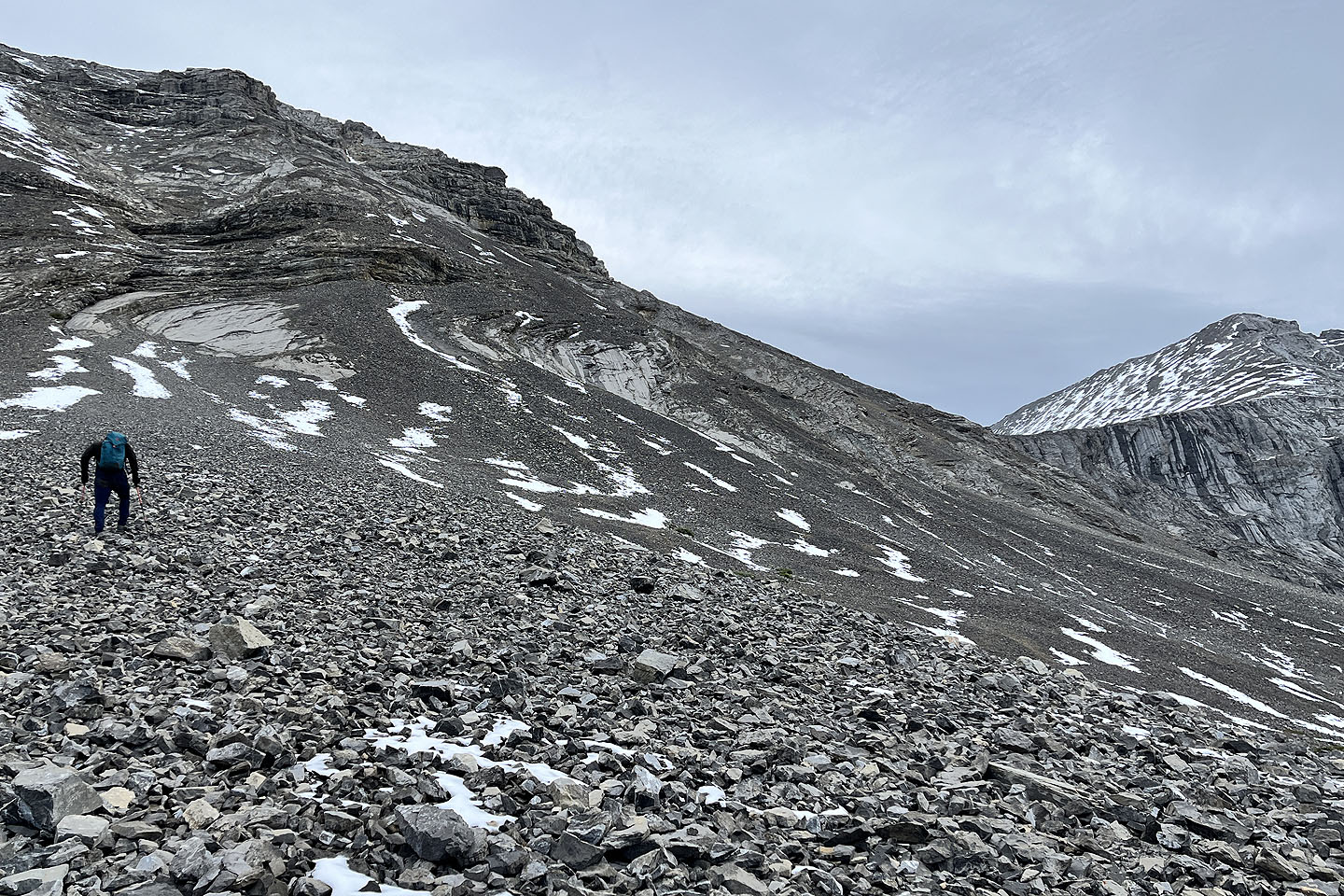
 Coming up to the southeast ridge of Mount Arethusa
 The view of Storethusa after reaching the ridge (note the trail cairn lower right)
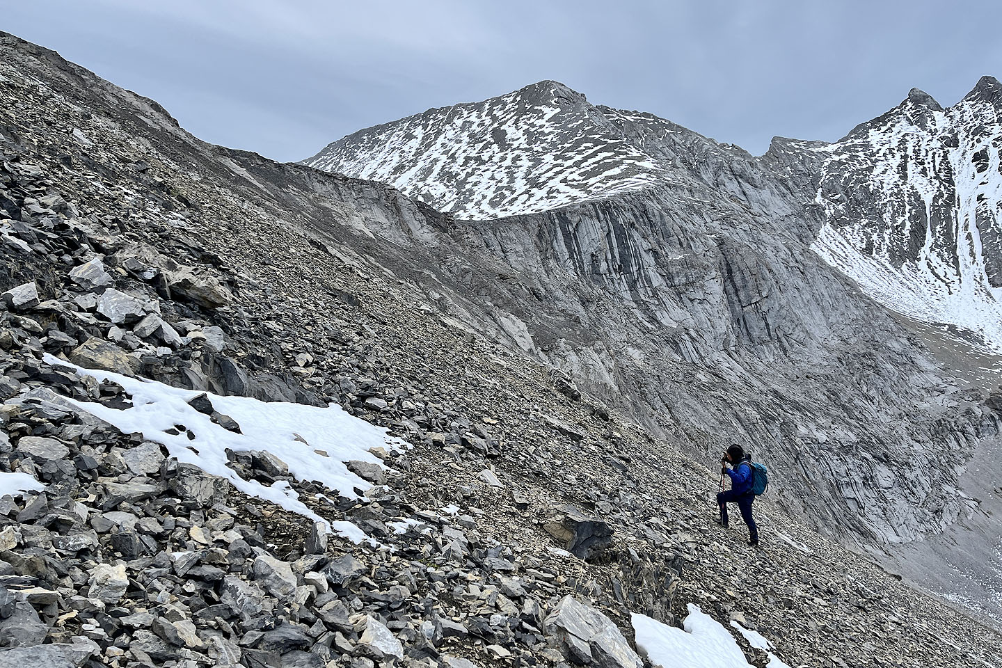
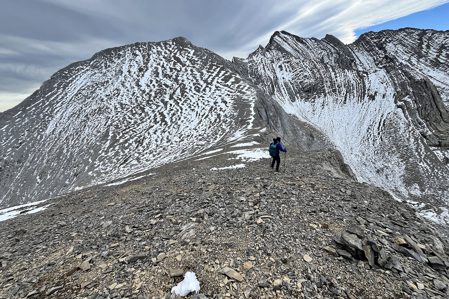
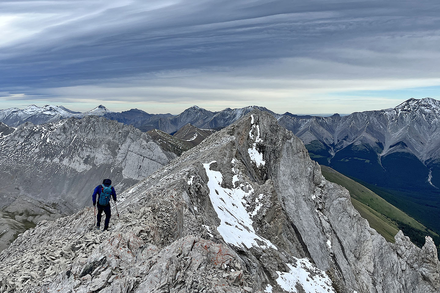
 After starting up Storethusa, Mount Arethusa appears behind us. Left of it is Little Arethusa.
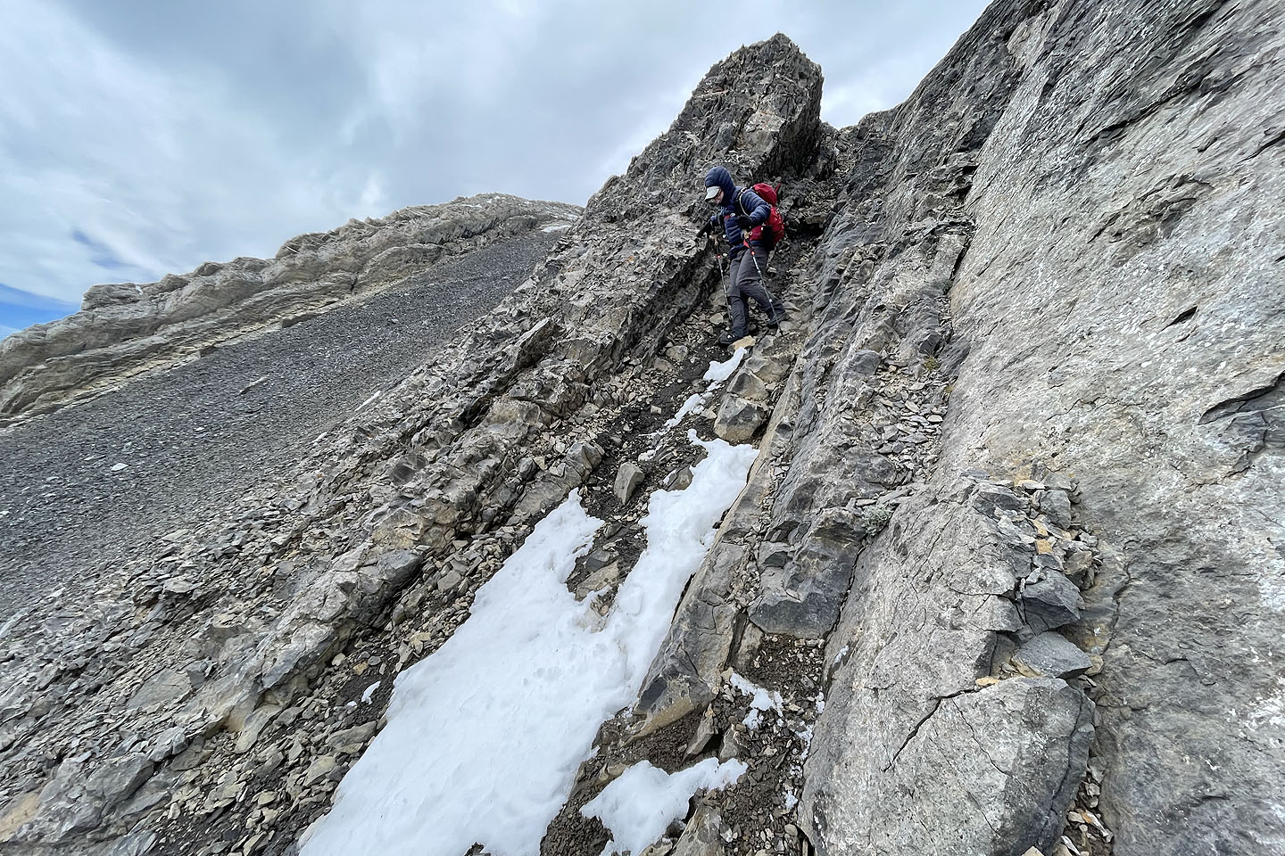
 It's steep but the rock is fairly stable
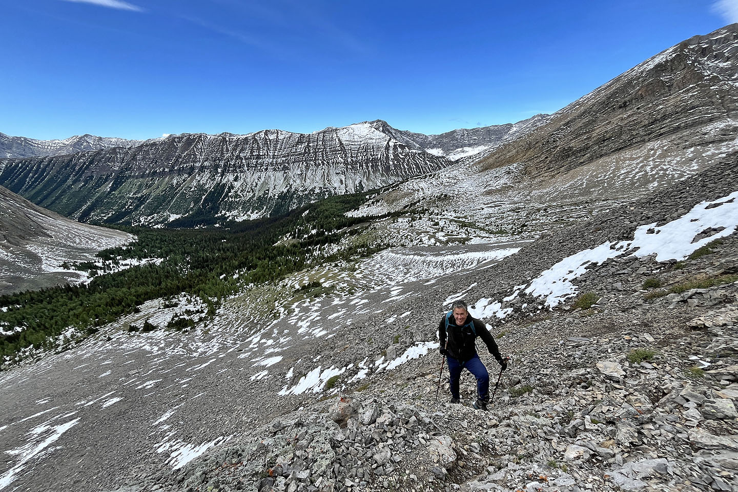
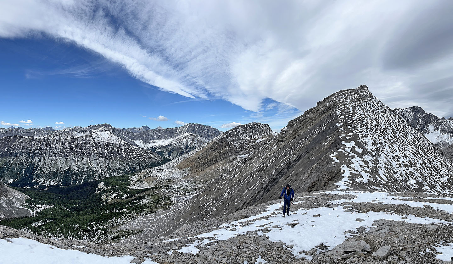
 Looking back as we approached the south summit. Mount Rae towers over Burns Lake.
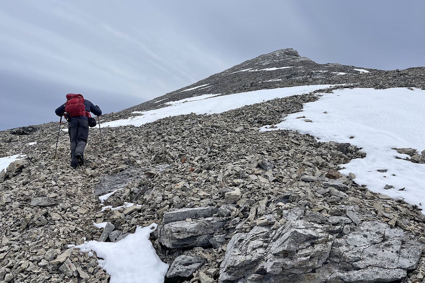
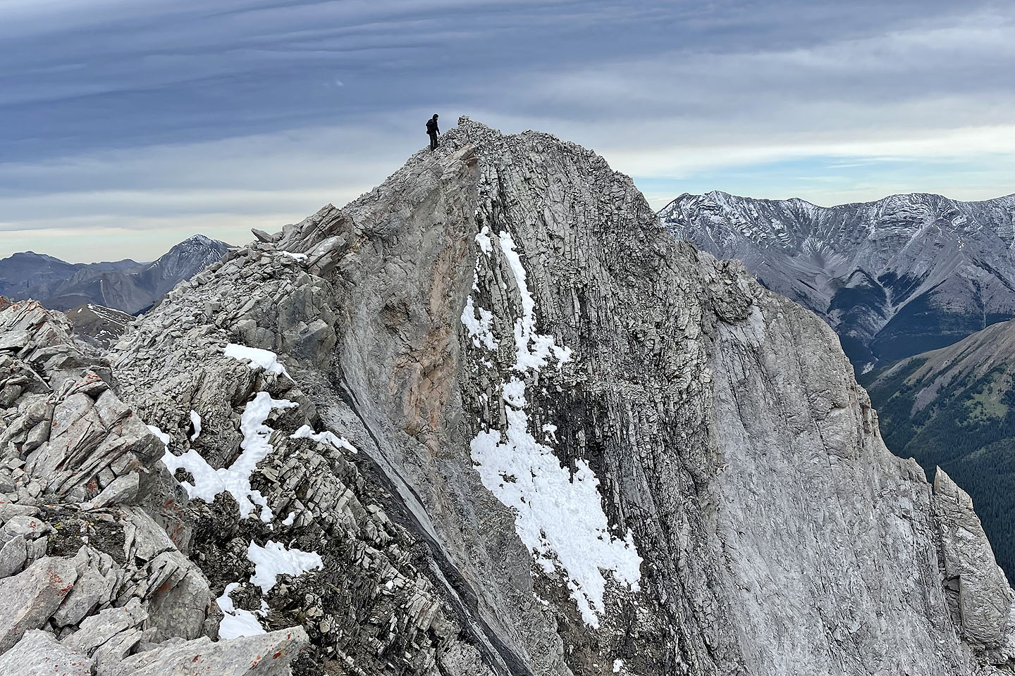
 Wayne heads to the north summit
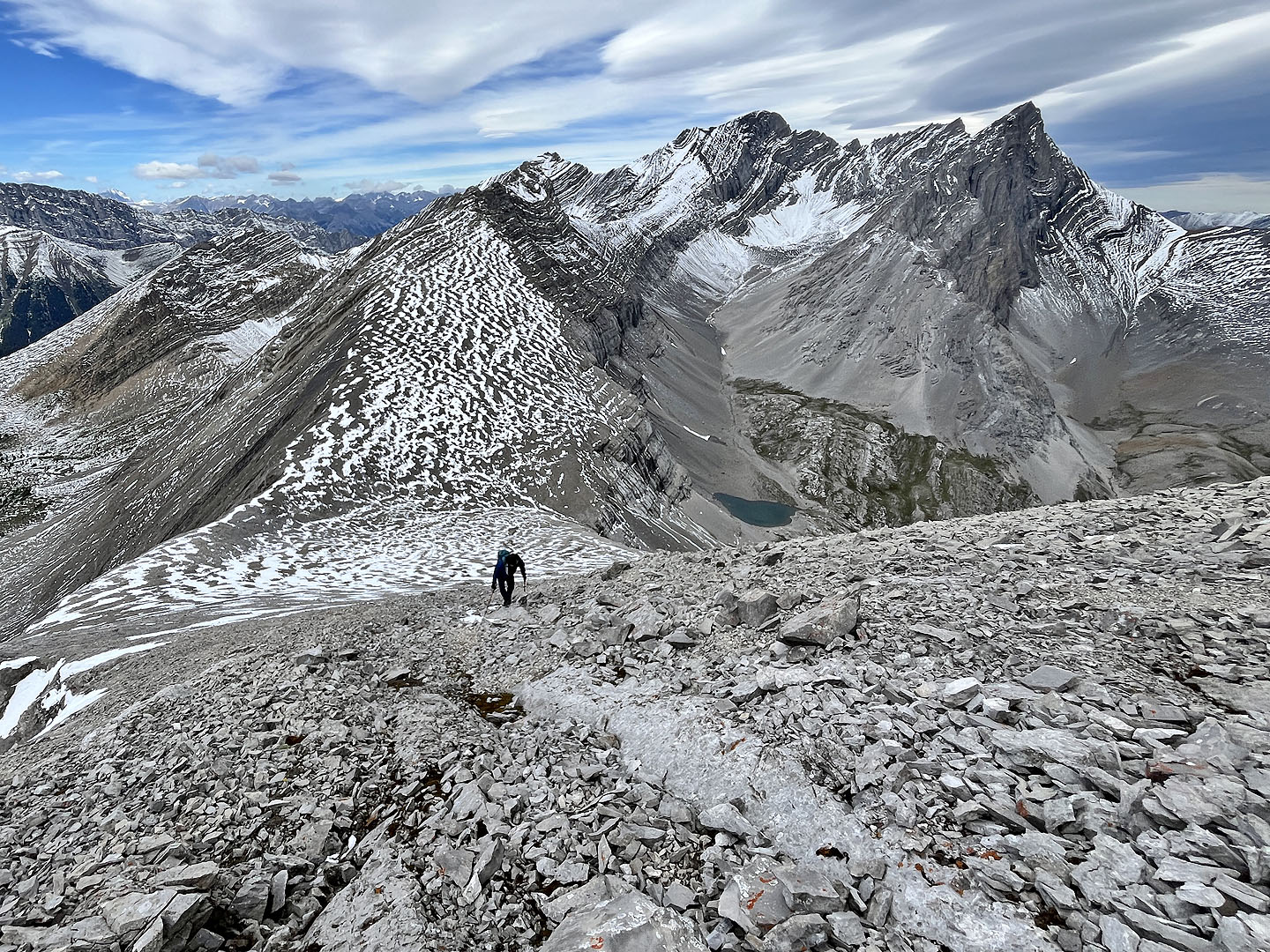
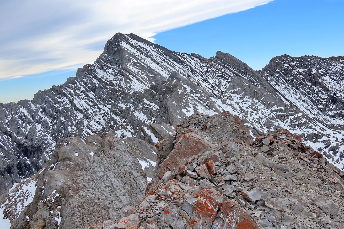
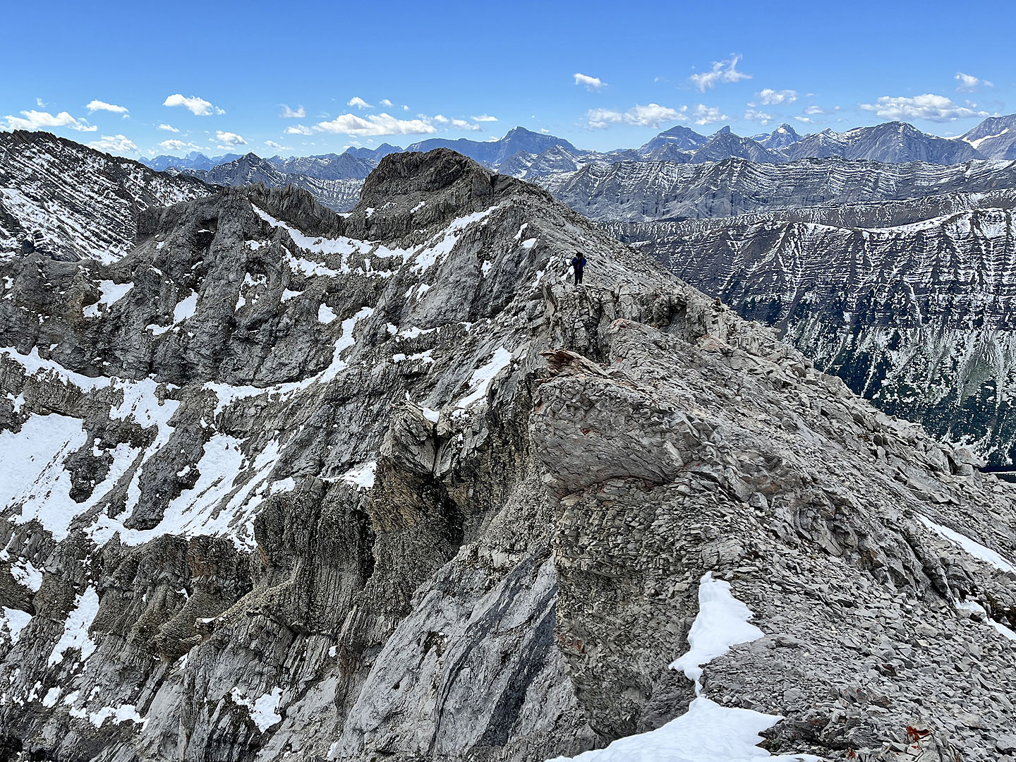 Looking back along the connecting ridge
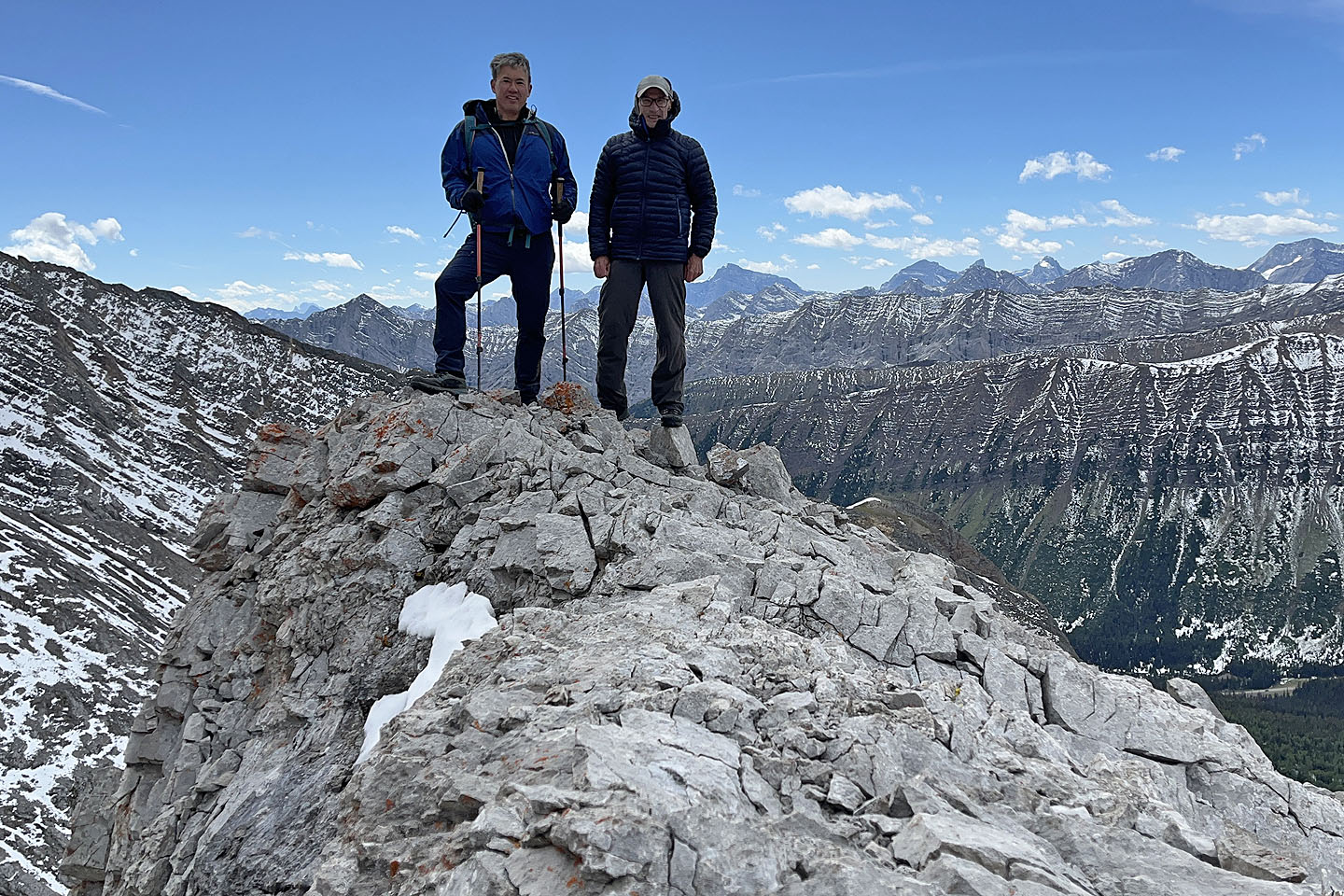
 Arriving at the summit
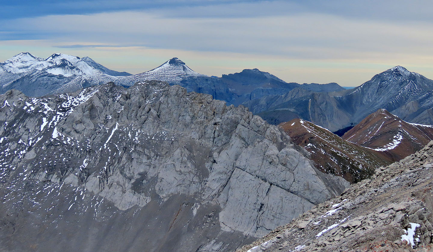 The snow-covered peaks left are Mount Cornwall, Outlaw Peak, Mount Glasgow and Banded Peak. Cougar Mountain far right.
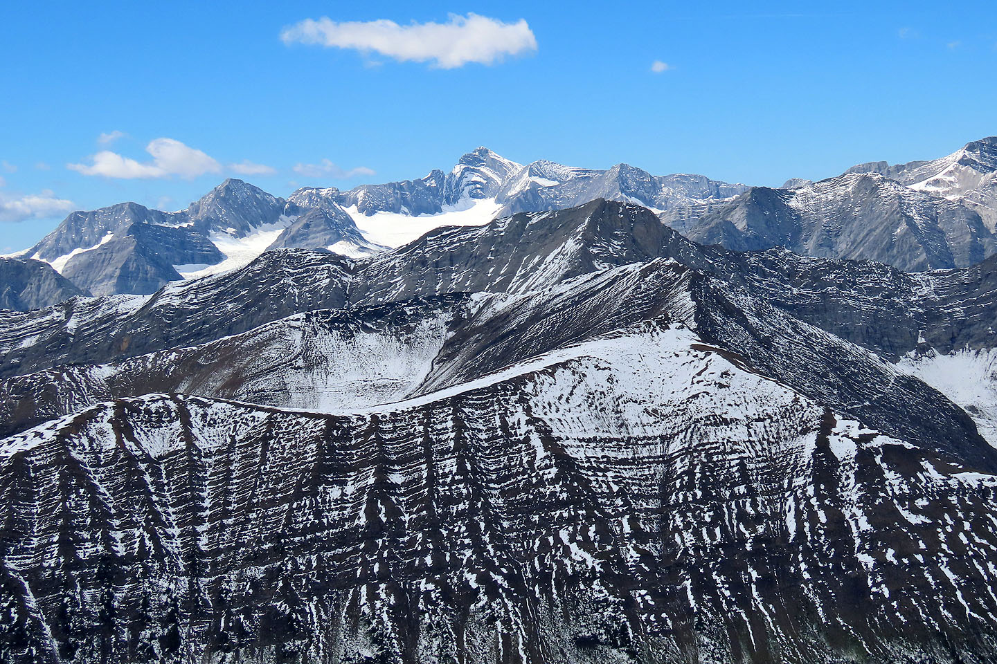 Mount Joffre top centre. Below it are Mount Tyrwhit, Grizzly Peak and Highwood Peak
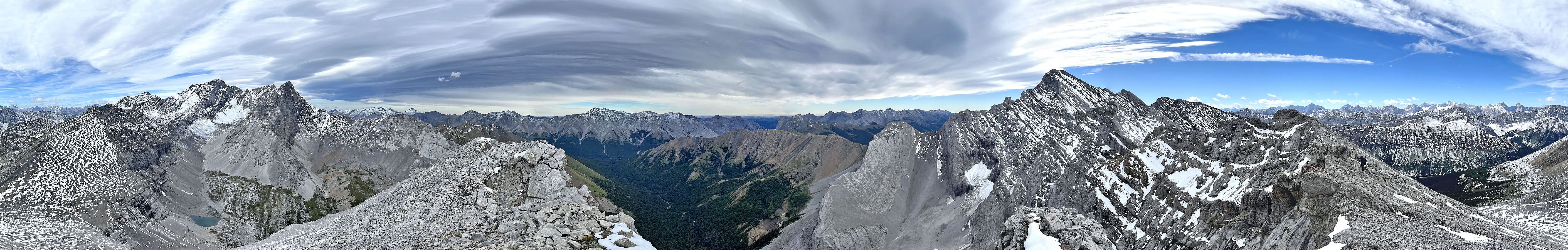
 It was too windy to set up a tripod on the summit, so we took a photo lower down
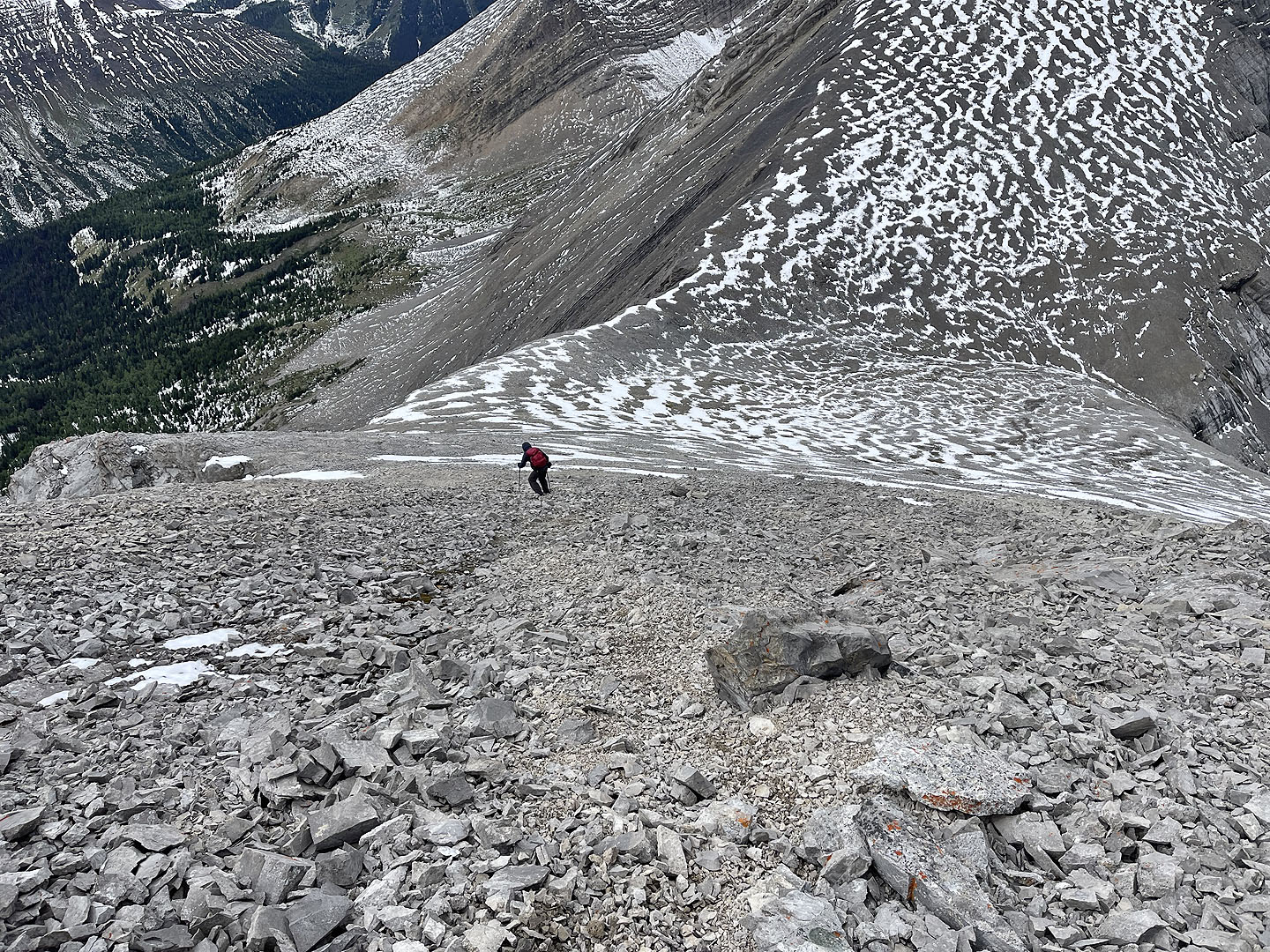 We took advantage of soft scree to drop down quickly to the col
 Amidst strong winds, Wayne starts down the chimney from the col. This trail is 10 m below the trail we ascended.
 Coming down the chimney
 We made our way back down to Arethusa Cirque
Back in the cirque
82 J/10 Mount Rae