bobspirko.ca | Home | Canada Trips | US Trips | Hiking | Snowshoeing | MAP | About
Hearts Peak
Crowsnest Pass, Alberta
May 21, 2017
Distance: 10.3 km (6.4 mi)
Cumulative Elevation Gain: 559 m (1834 ft)
Hearts Peak apparently attracts few visitors: there was no summit cairn let alone a summit register. Nonetheless it seemed like an interesting early-season goal, and for me, an ambitious one.
Recovering from a dislocated shoulder on Sandy McNabb Hills, I didn’t have the option of taking a shorter route, scrambling up the cliff band below the summit like others have. I was still a few months away from complete recovery. My shoulder was still sore, and my arm too weak to haul myself up rock, nor could I risk re-injuring my shoulder if I lost my footing. So I elected to traverse the ridge. I anticipated an enjoyable ridgewalk, but that never happened.
I started up the trail – an old road that runs along the base of Hillcrest Mountain – until I was within striking distance of the south end of the ridge. The ridge looked reasonable on Google Earth, but the devil is in the details. What I thought were grassy slopes were young pine trees laced with deadfall. It was a nasty start, but I expected the ridge crest to be clear. It wasn’t. There were a few clearings, but most of the ridge was strewn with rampikes, a Canadian word meaning “a dead tree, especially the bleached skeleton or splintered trunk of a tree.” Rampikes, both fallen and still standing, are everywhere on Hearts Peak.
Just before the summit, I came across footprints in the snow. Some able-bodied person had scrambled up and down the cliff band.
I had lunch on top, took some pictures and then continued down the other side of the ridge. Like the south ridge, the north ridge was plagued with rampikes, so I was glad to set foot on the trail. I still faced three kilometres of postholing, but it beat crawling over deadfall.
Despite the challenges, or maybe because of them, I relished my trip. But I don’t expect anyone will want to traverse the long, heartless ridge as I did, not when there’s a short, scrambling route to Hearts Peak.
Postscript: I learned later the unknown climber was Matthew Clay.
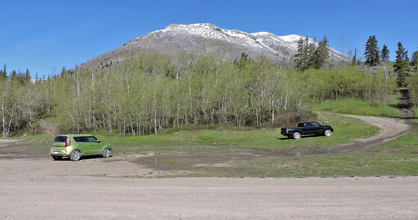
The trailhead: Hearts Peak is hidden behind Hillcrest Mountain
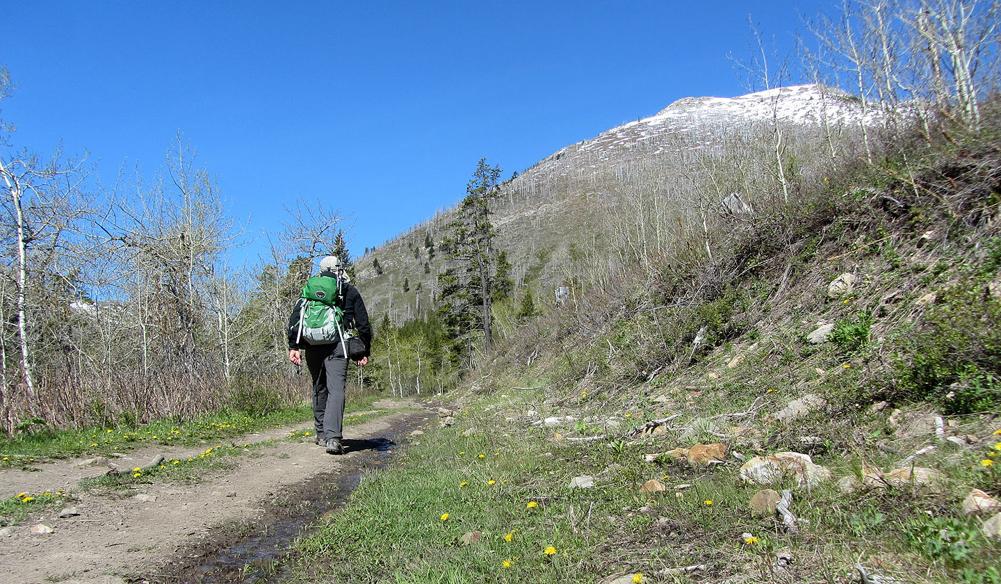
Hiking down the road
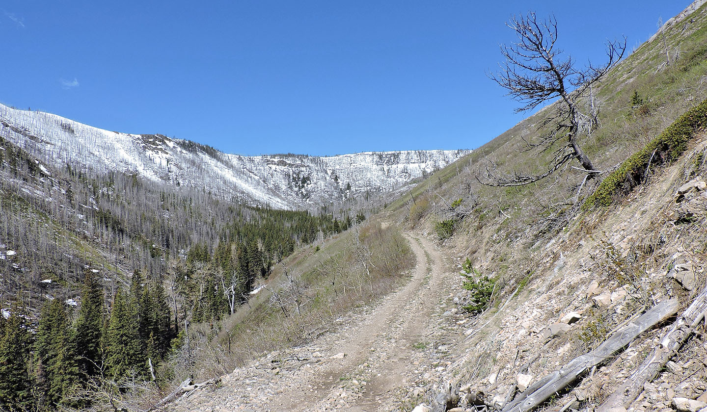
Hearts Peak is just around the corner. The snow-covered ridge is an extension of Spades Peak.
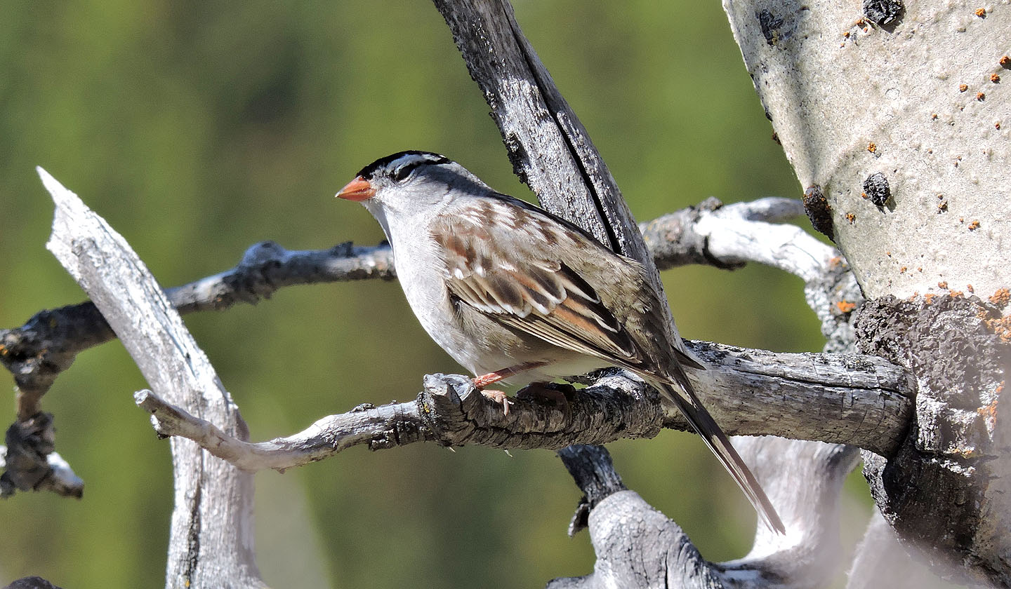
Plenty of song birds were singing, like this white-crowned sparrow
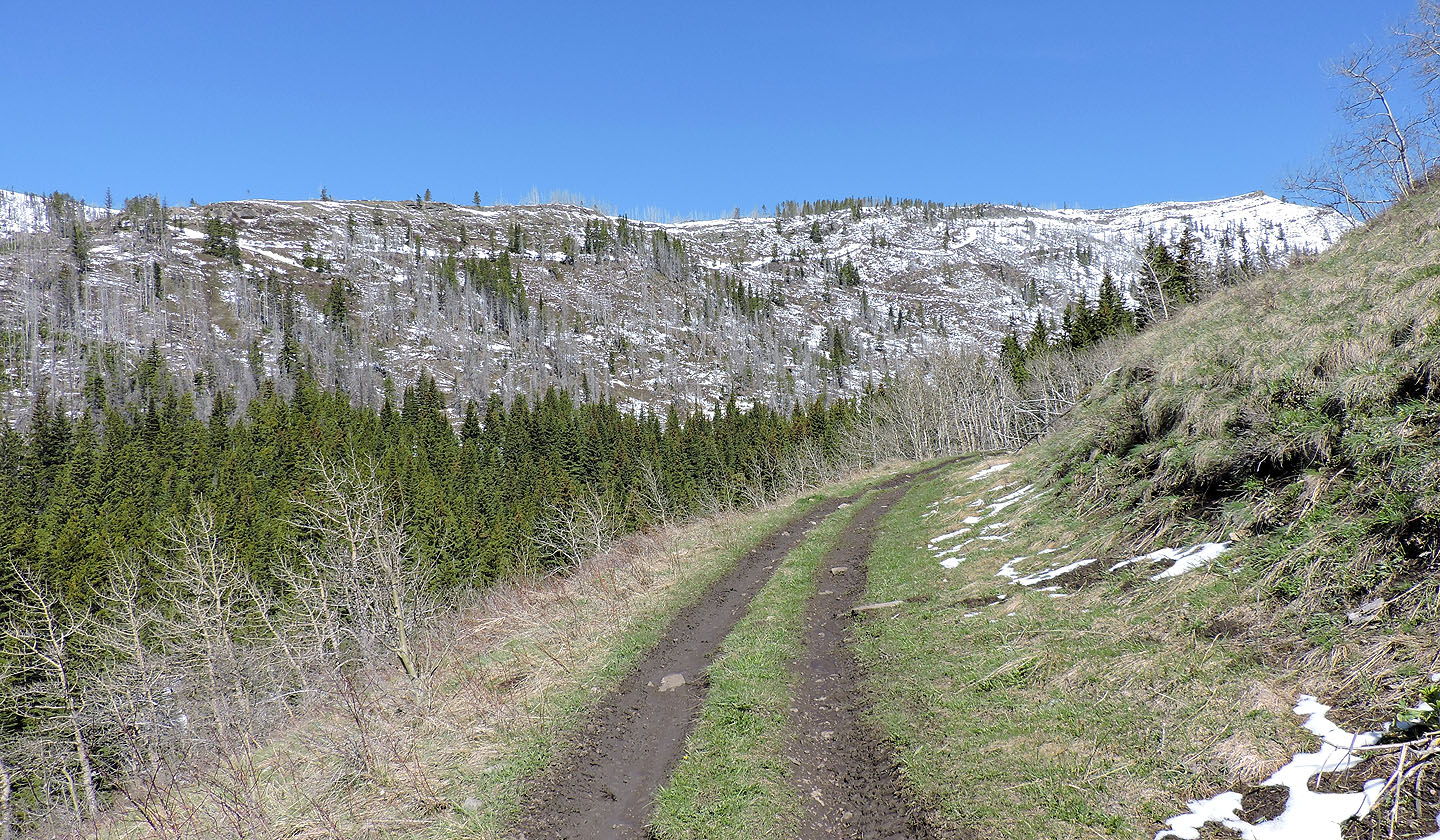
Hearts Peak ahead
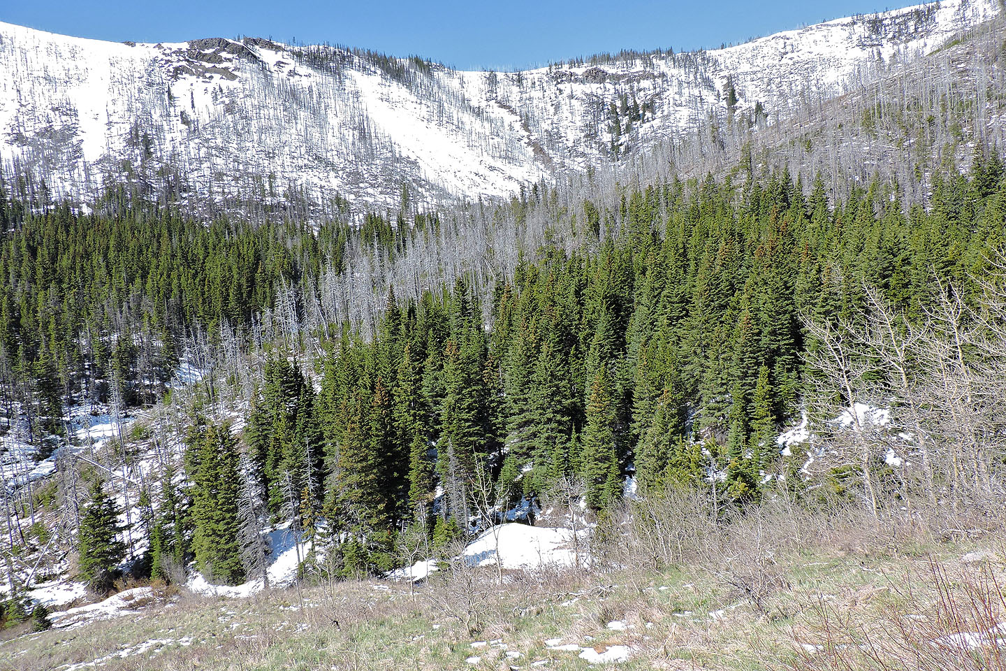
I left the road here, dropped down, crossed a creek and started up the south end of the ridge
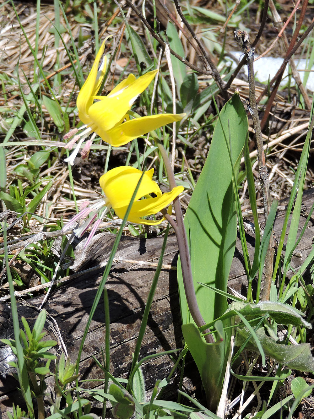
Glacier lilies were out
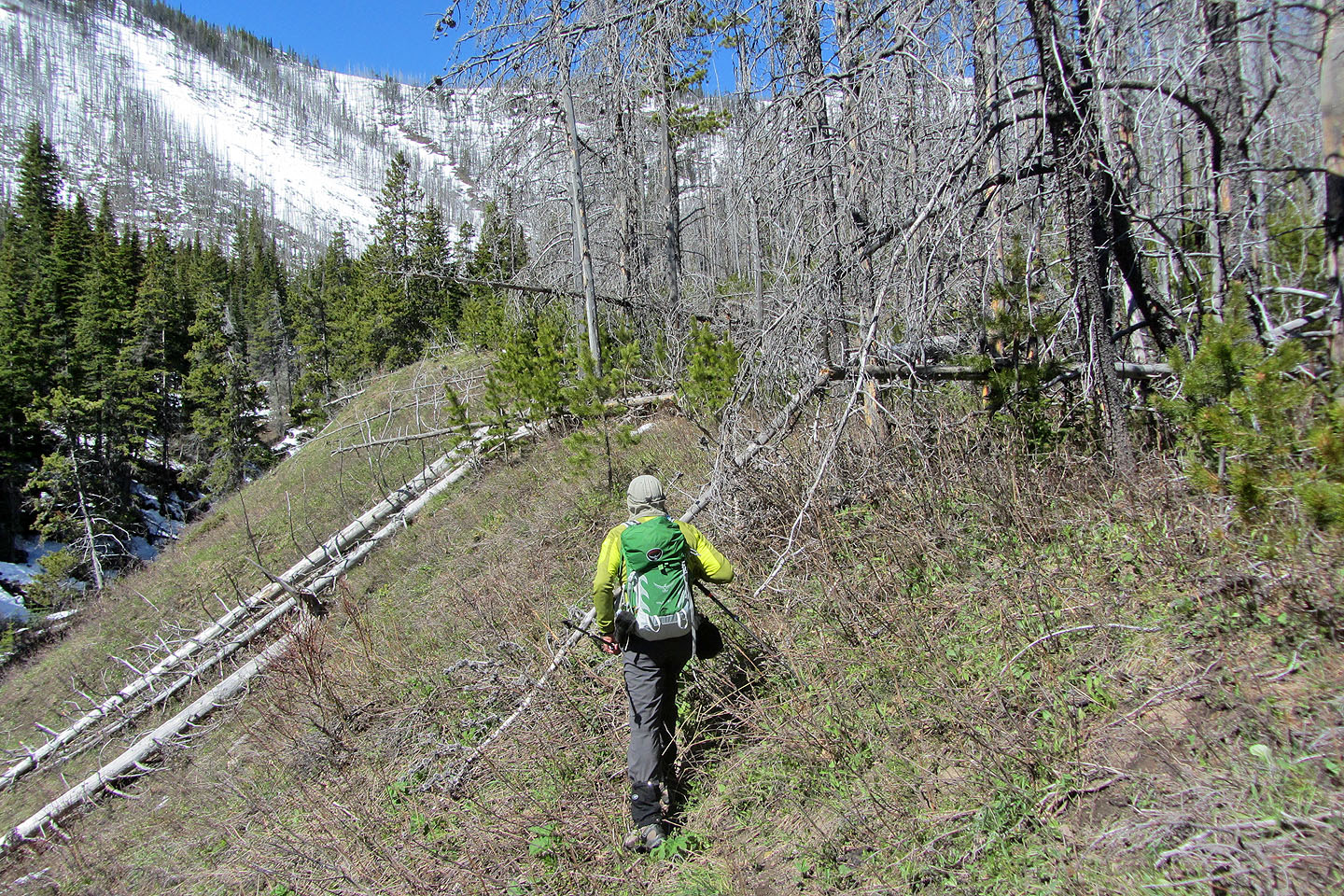
I tried skirting the deadfall mess but eventually I had to bite the bullet
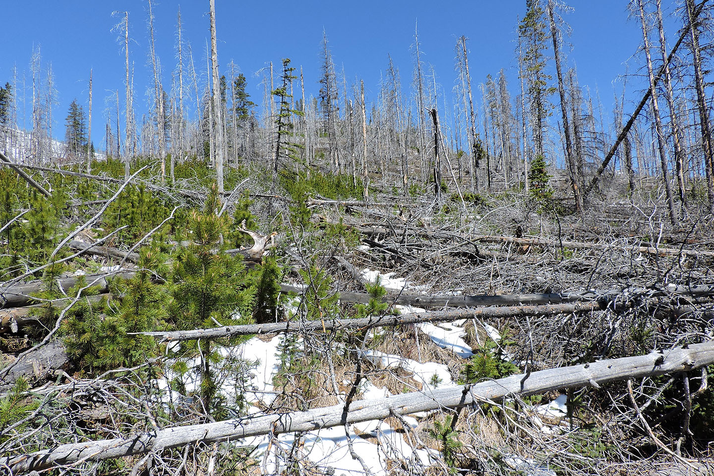
For most of the lower slope, I barreled through this crap
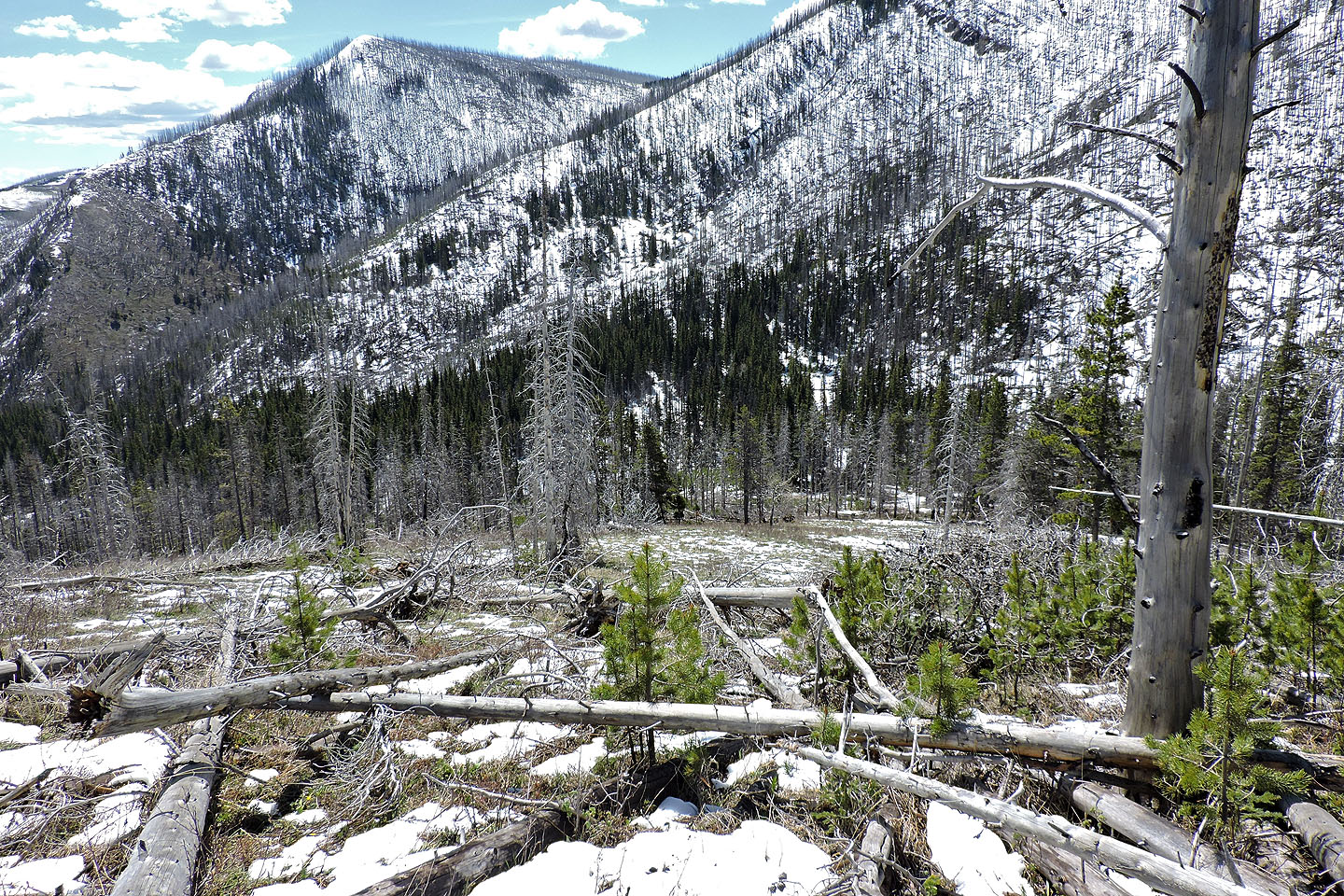
Looking back at one of the easier sections
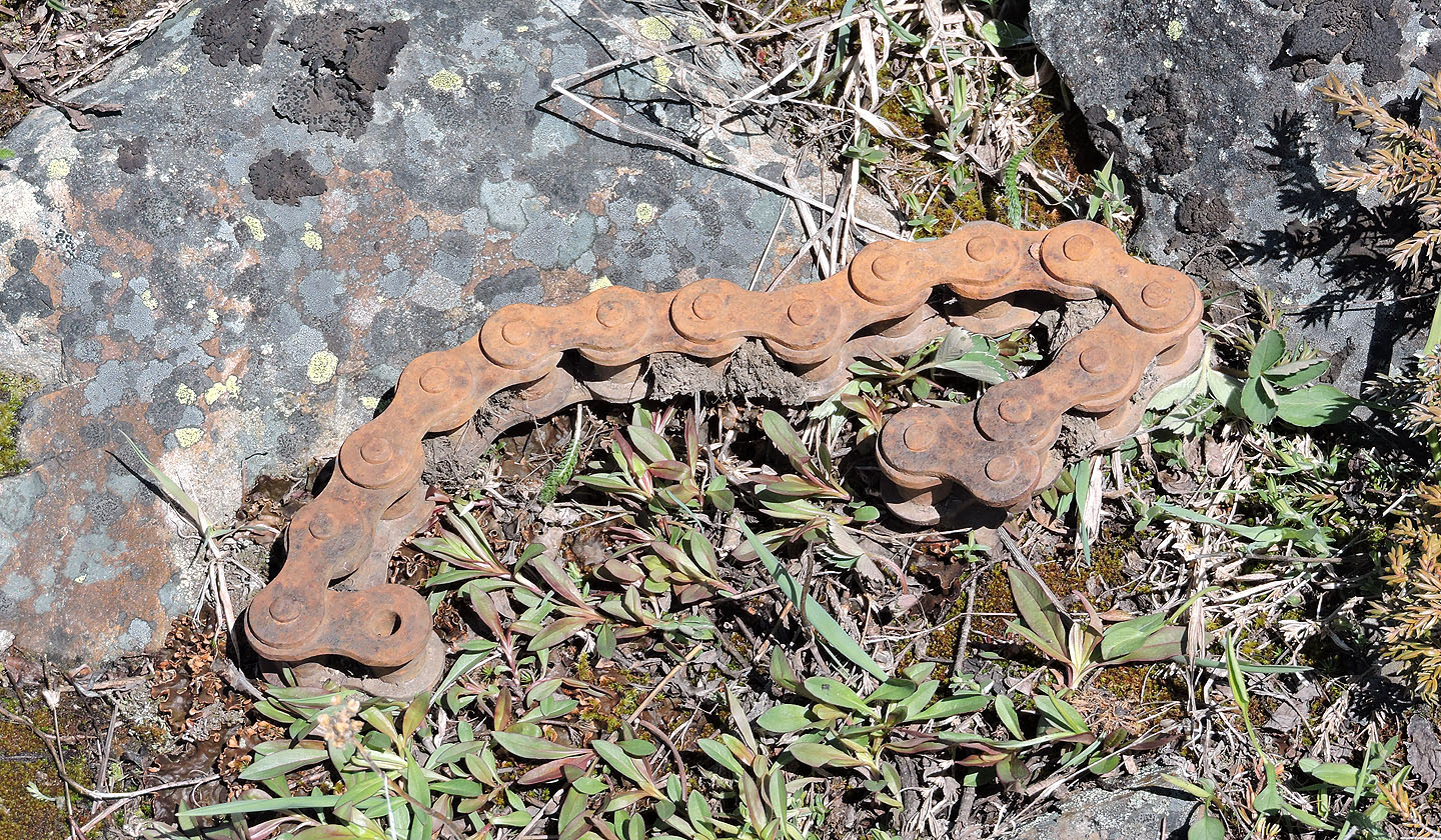
It was strange to find this huge chain here, each link the size of my thumb
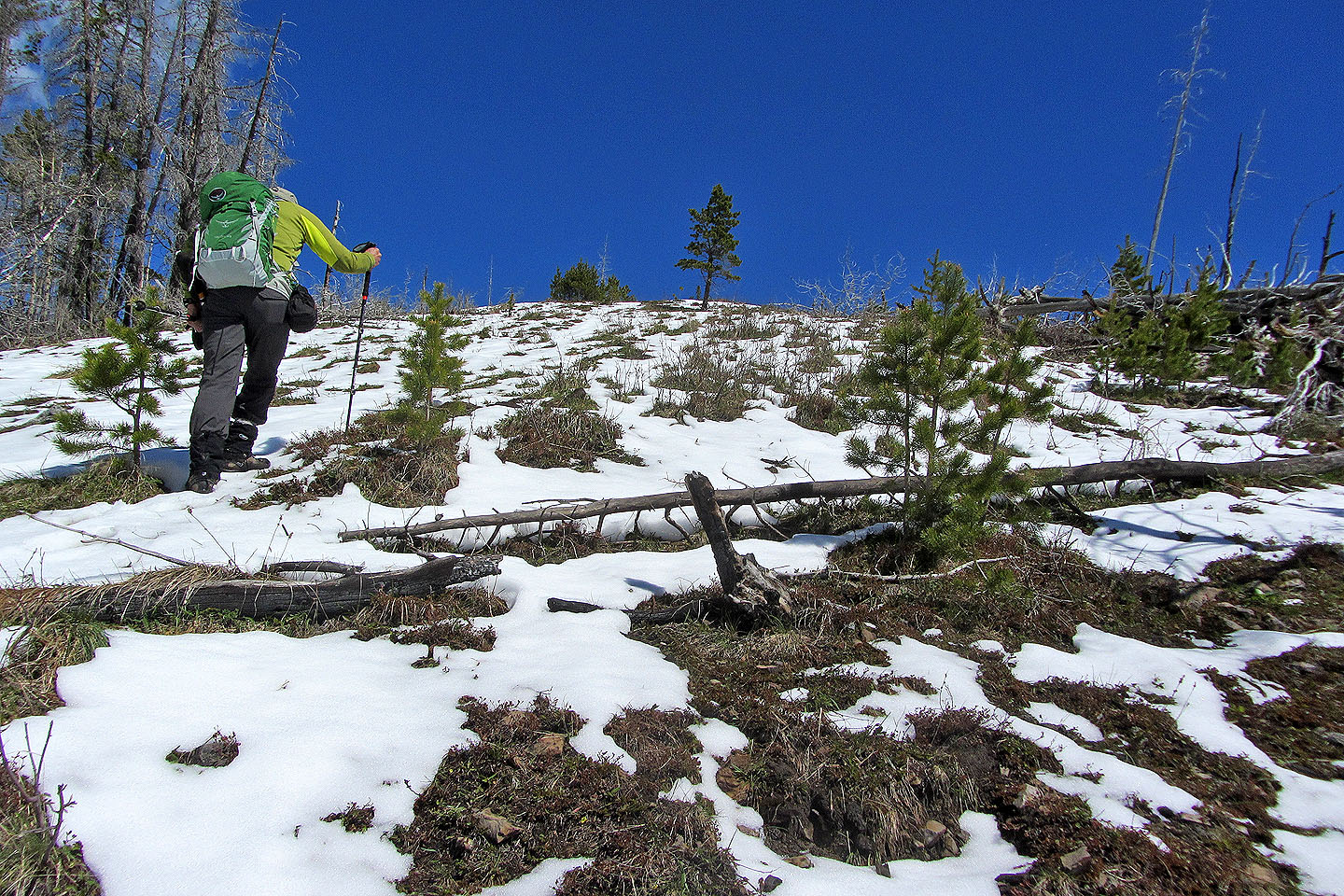
I thought I was home free when I reached this bare section of ridge but I was wrong
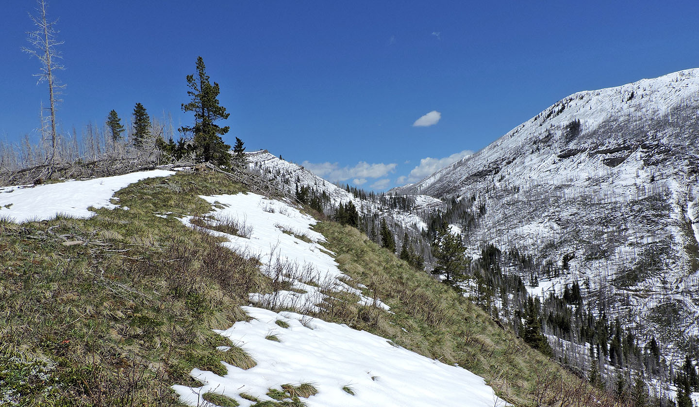
Deadfall impedes the way to the summit
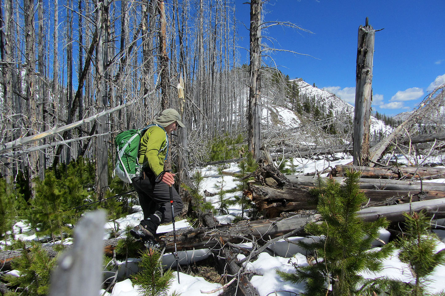
Painstaking work to go along the ridge
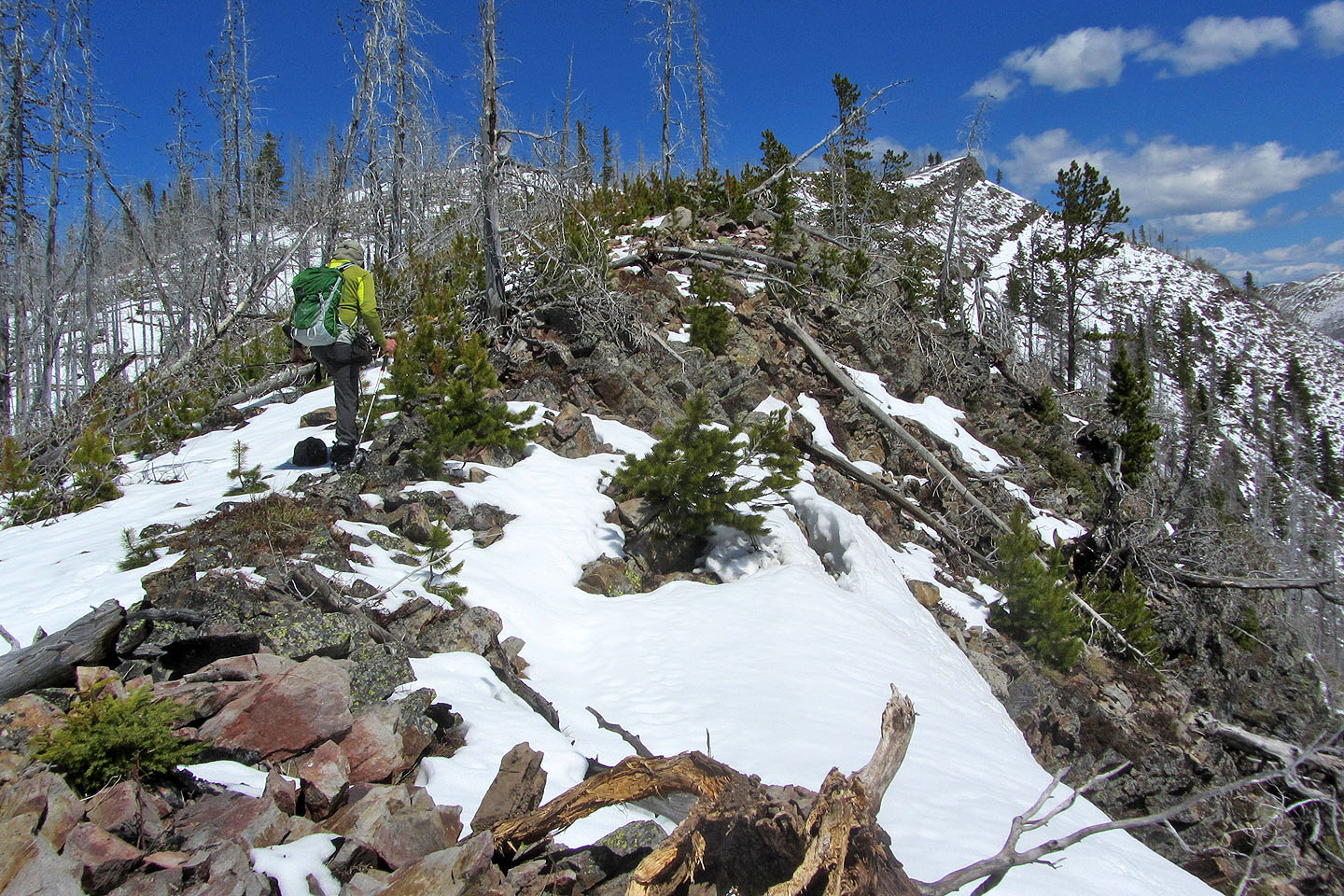
The ridge becomes more defined but no easier to travel on
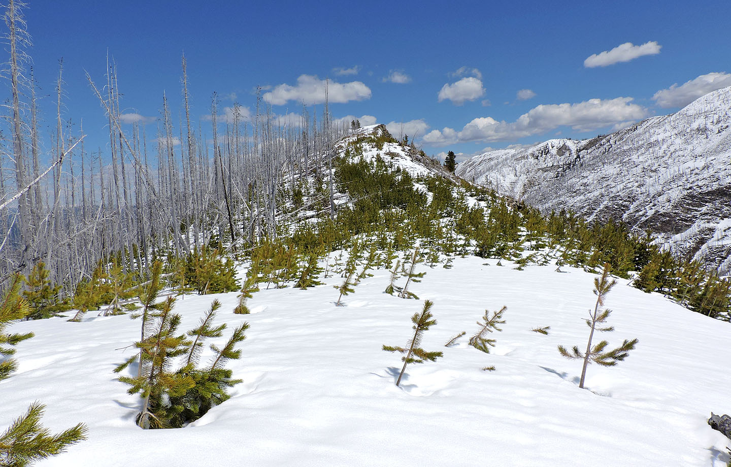
The last 300 m to the summit was mercifully free of deadfall
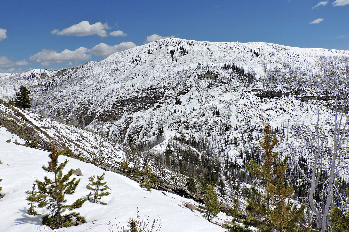
The trail runs over the Hearts-Hillcrest col
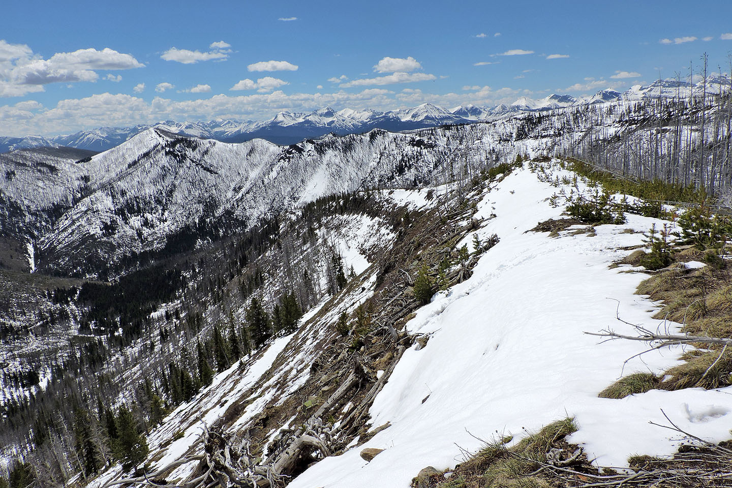
Looking back along the ridge. Footprints in snow lead to a spot where someone scrambled up.
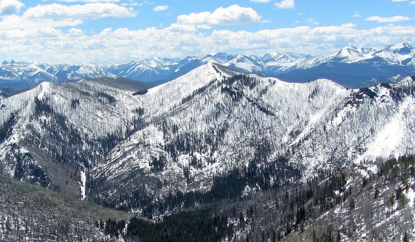
Spades Peak lies south
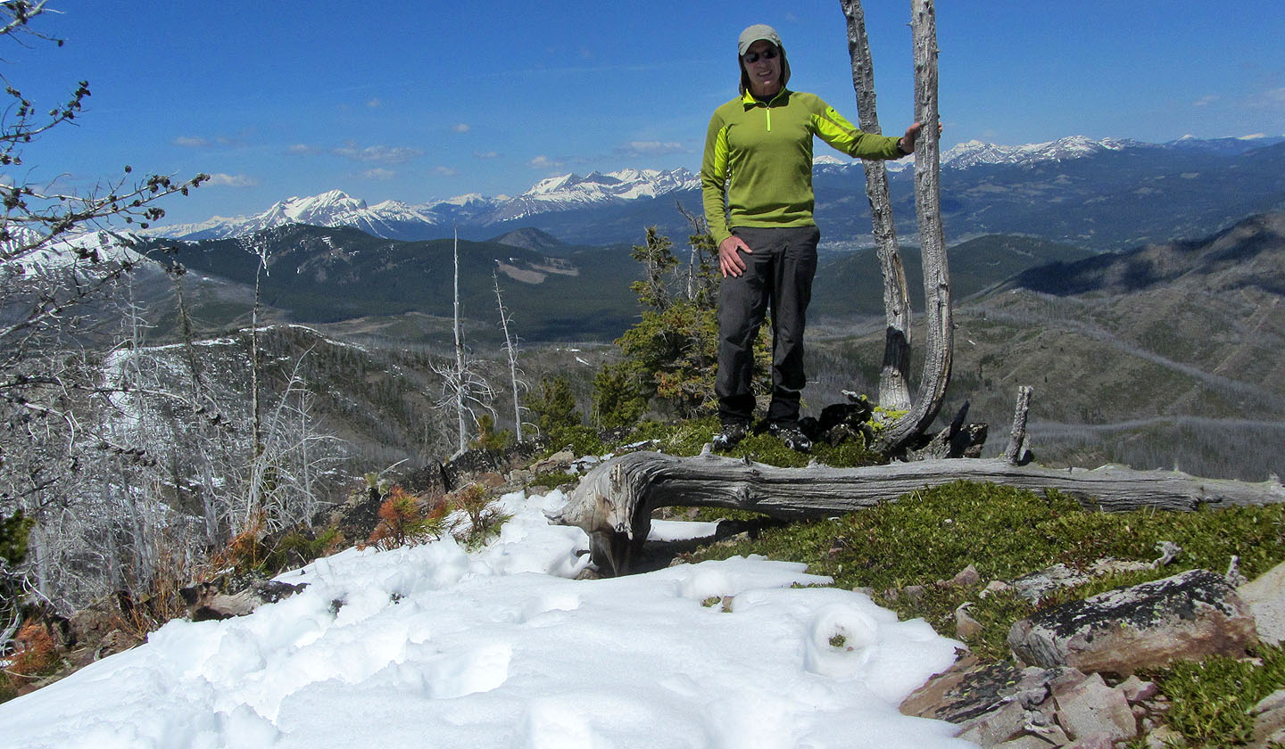
On the summit
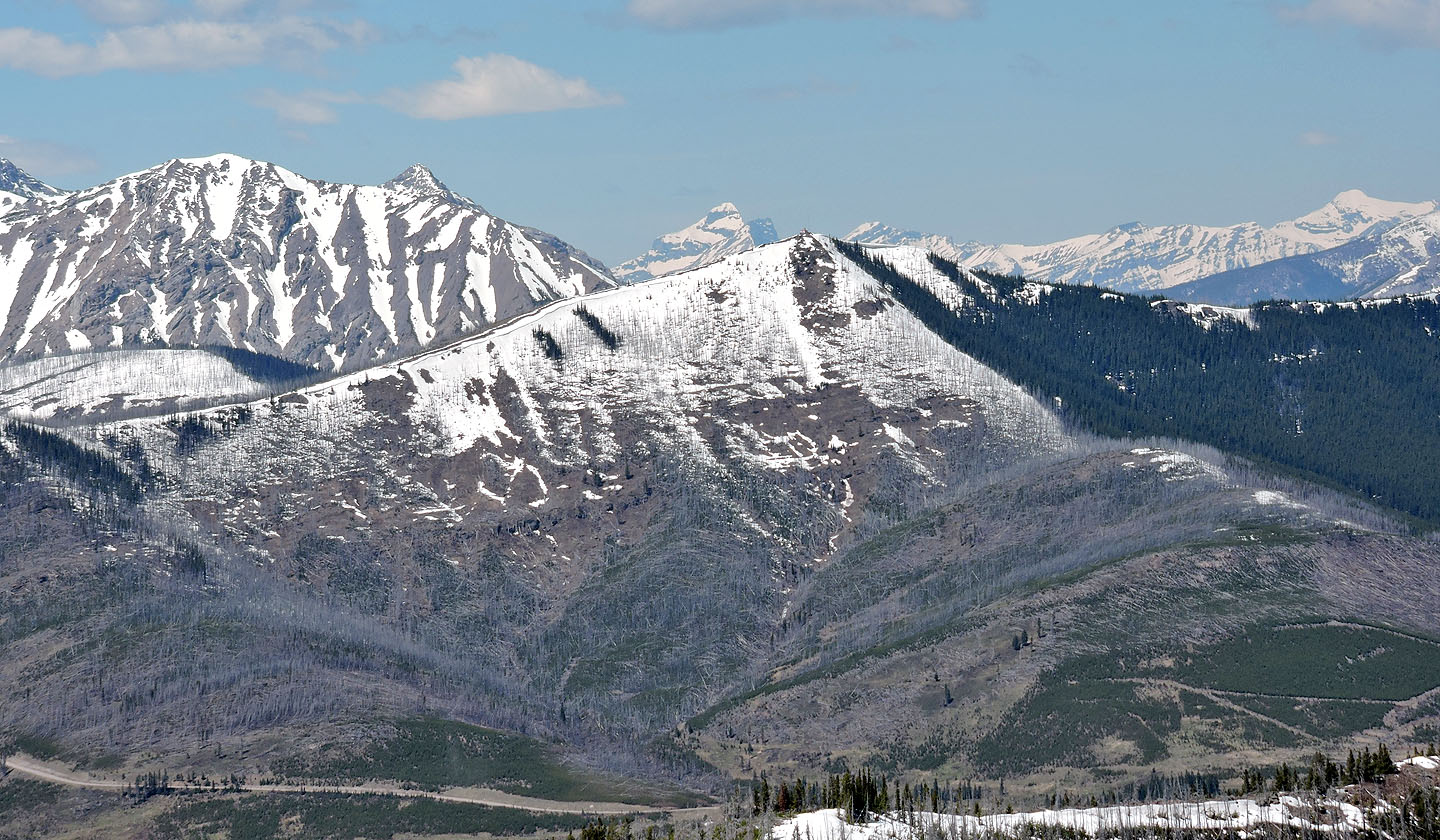
Mount McLaren and Willoughby Ridge. Mouse over to see Ironstone Lookout.
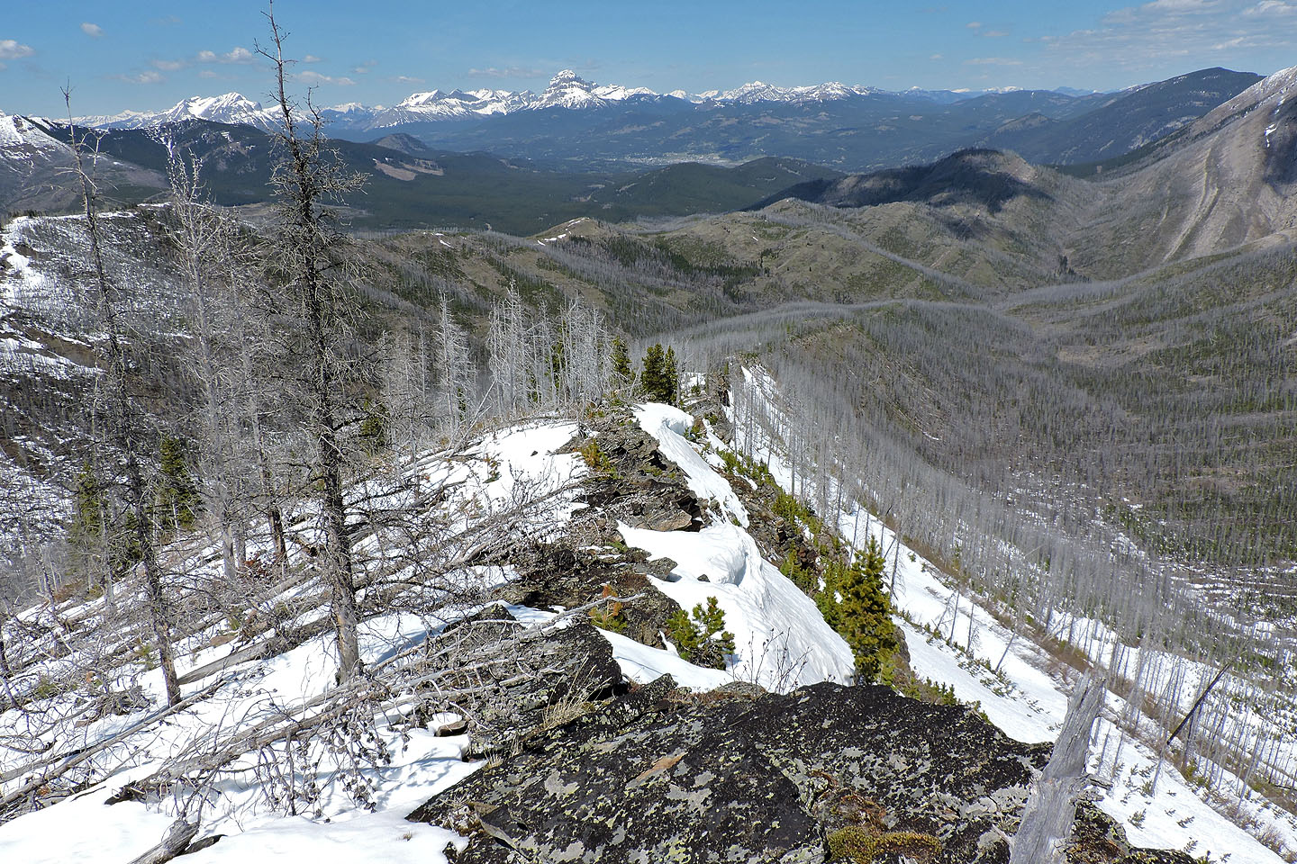
I made my way down the north ridge to the trail
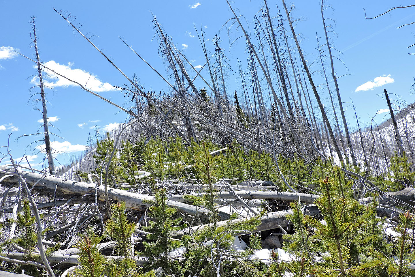
Looking back at a horrendous section I went through just before reaching the trail
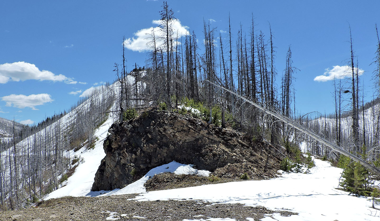
I was glad to be back on the trail, but I still
faced three kilometres of postholing
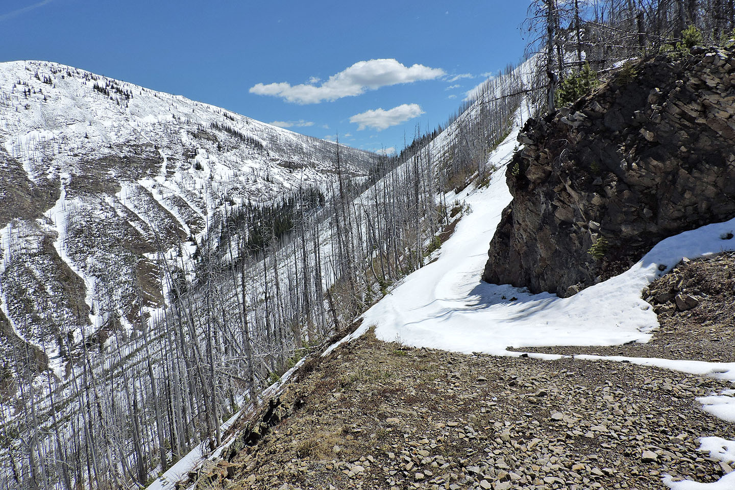
The trail leads to the Hillcrest-Hearts col
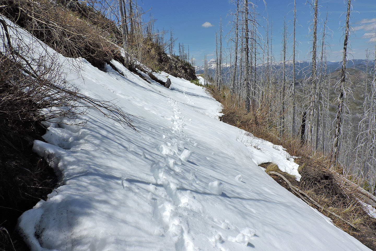
Looking back at my tracks
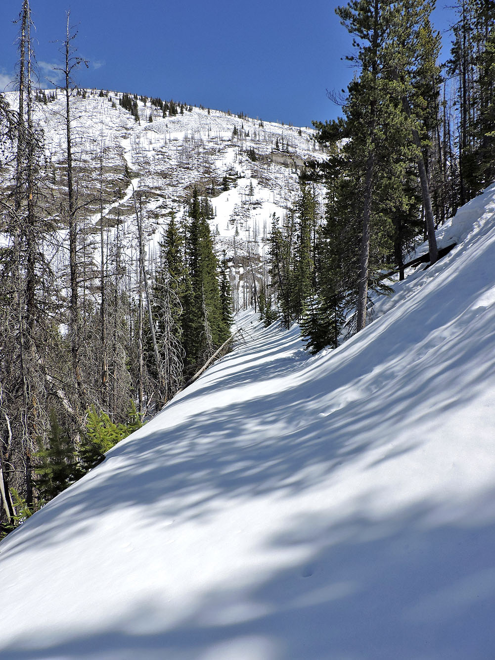
It was a long slog to reach the col
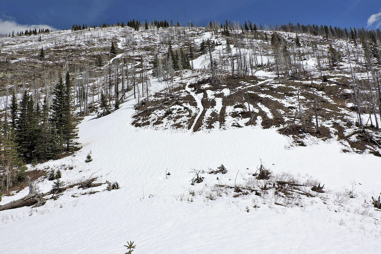
Looking up at Hillcrest Mountain from the col
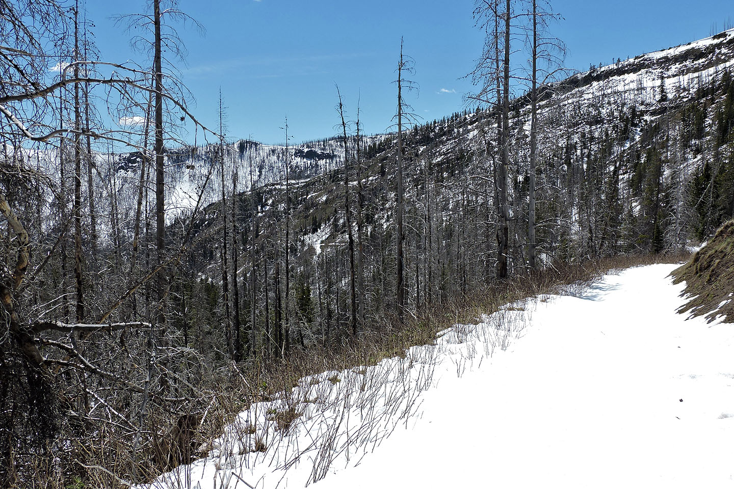
The long switchback on the other side: barely visible in the centre is the corner of the switchback
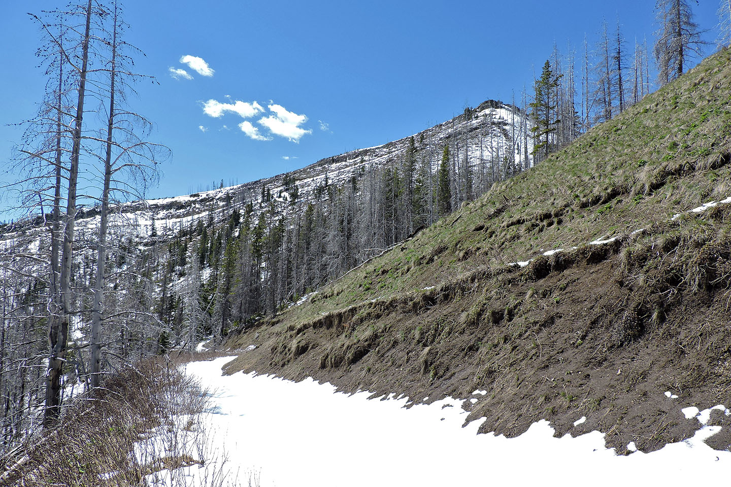
The summit of Hearts seen from the trail: note the cliff band
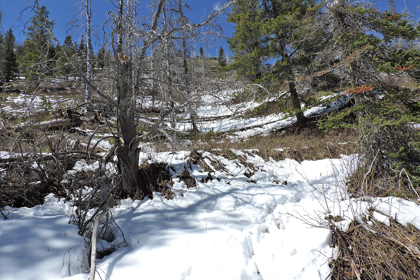
Here's where Matthew Clay started his ascent from the road (864901)
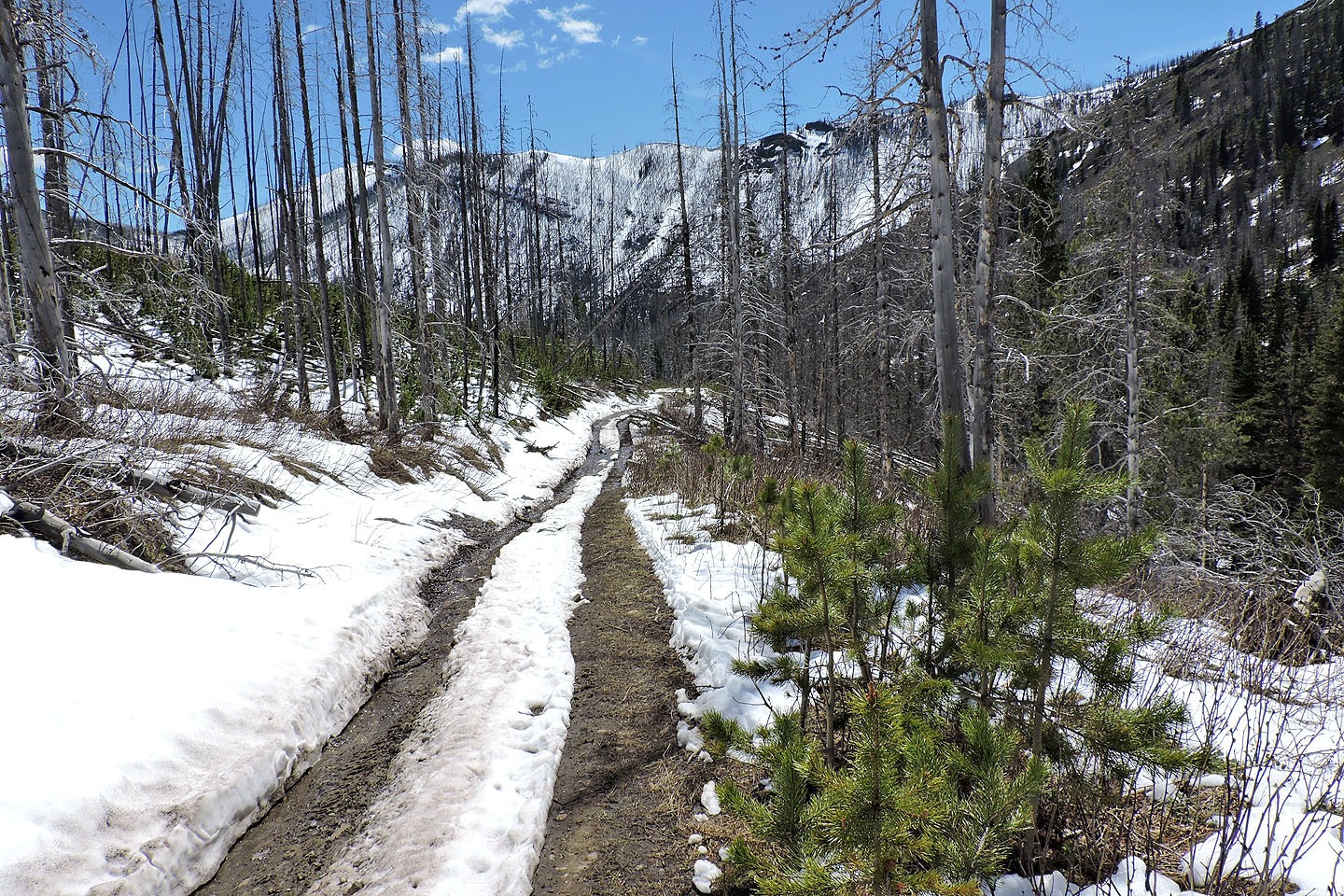
My postholing ordeal finally ended, and I can see the south end of Hearts Peak where I began my ascent
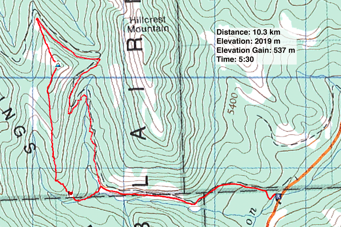
82 G/9 Blairmore
