bobspirko.ca | Home | Canada Trips | US Trips | Hiking | Snowshoeing | MAP | About
Cat Creek Knob
Kananaskis, Alberta
August 24, 2019
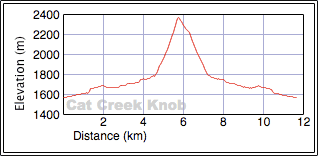
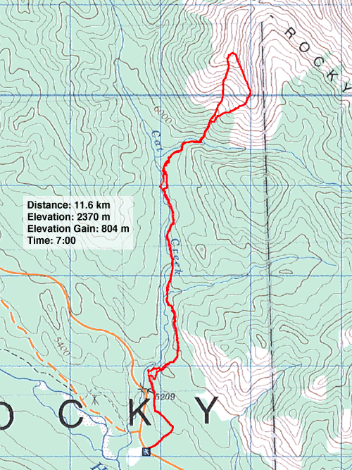
Distance: 11.6 km (7.2 mi)
Cumulative Elevation Gain: 832 m (2730 ft)
Some things improve with age, but the trail to Cat Creek Knob isn't one of them. When Dinah and I hiked it in 2004 we had no issues. So in mind to do a relatively easy trip, I set off with Zora, Jonathan and Goulfia. But the last 15 years have not been kind to the trail. Like Dr. Jekyll and Mr. Hyde, it started friendly but turned fiendish. Overgrown, hampered by deadfall, and with some parts wiped out, it was a trail to be reckoned with.
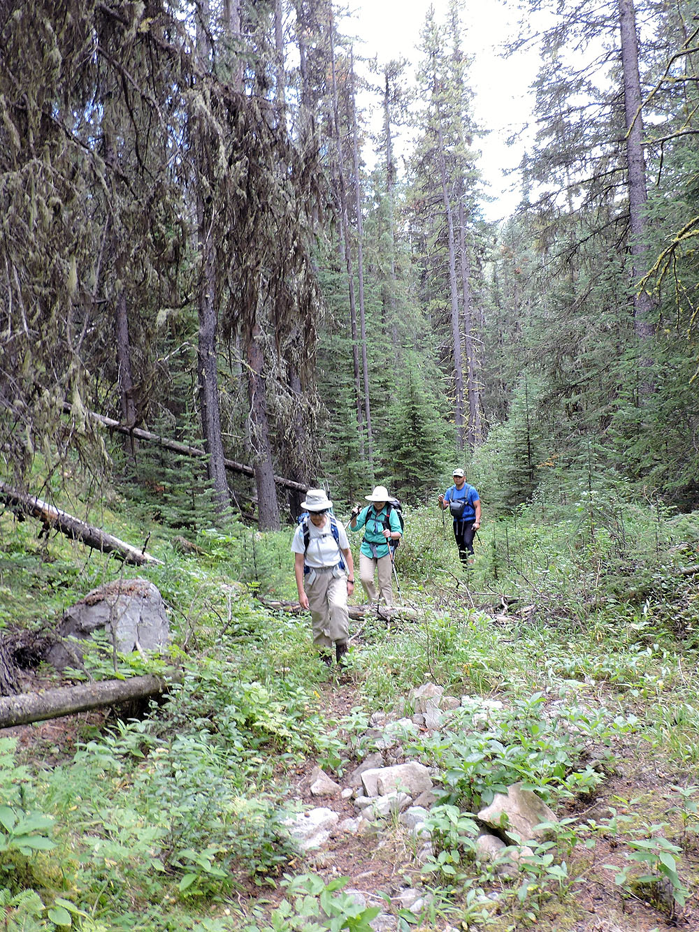
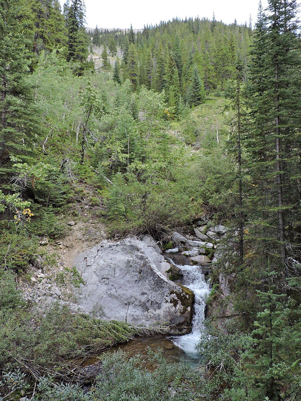
We parked at the start of a logging road, just south of a bridge and the Cat Creek day use area. We followed the road along its long, straight stretches until we neared Cat Creek. Then we left the road to take a trail to view two waterfalls. We continued up this trail and got back on the logging road.
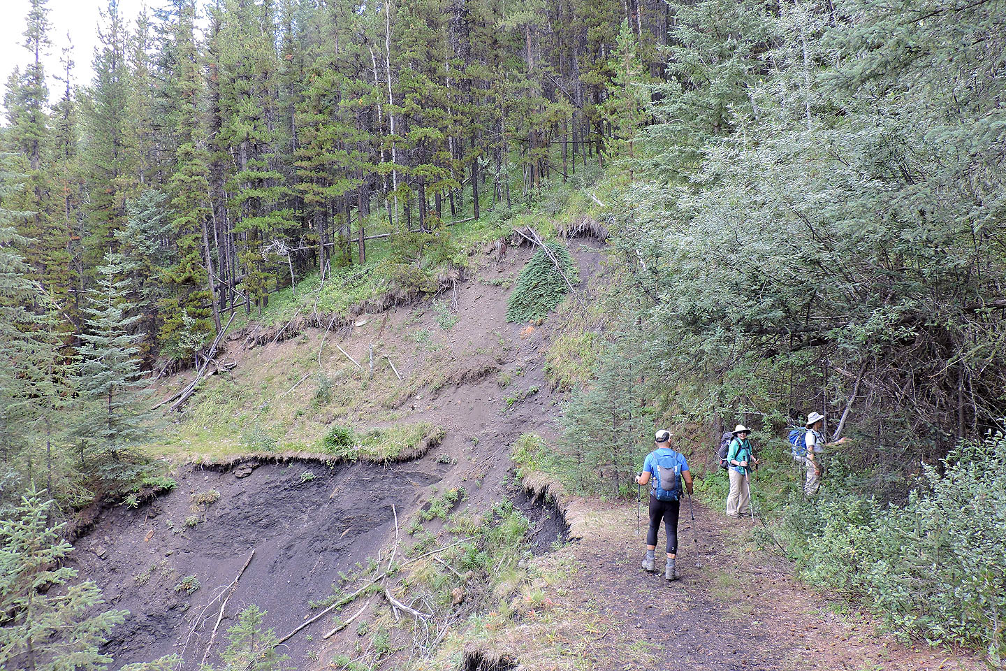
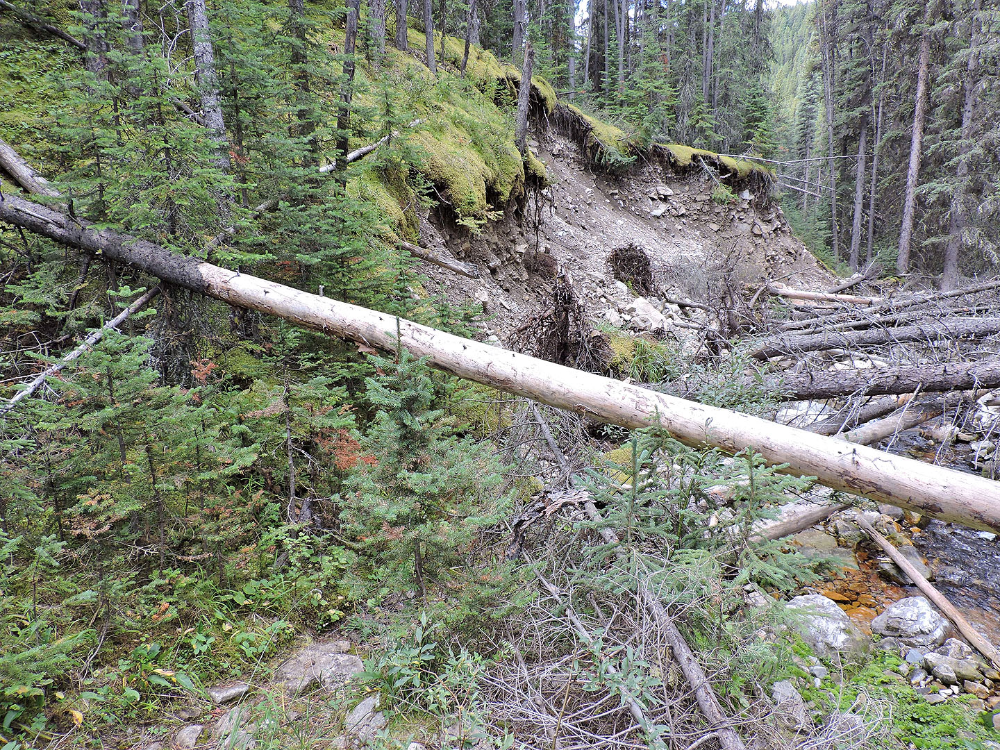
Everything went smoothly until we reached the last trail section, which Gillean calls trail 25C. It follows Cat Creek for 1.6 km before turning east to go along a side creek. But 300 m before the side creek, the trail was gone, hundreds of metres likely slid away after the 2013 flood. Nor could we simply follow the bank as it was 25 m high and too steep to traverse comfortably. So we climbed to the top of it, bushwhacked hundreds of metres, and dropped down to trail 25C next to the side creek. By sheer luck, we hit the trail exactly right, at a new starting point. Just a few feet behind us, there was no trail; it was ripped away along with much of the slope.
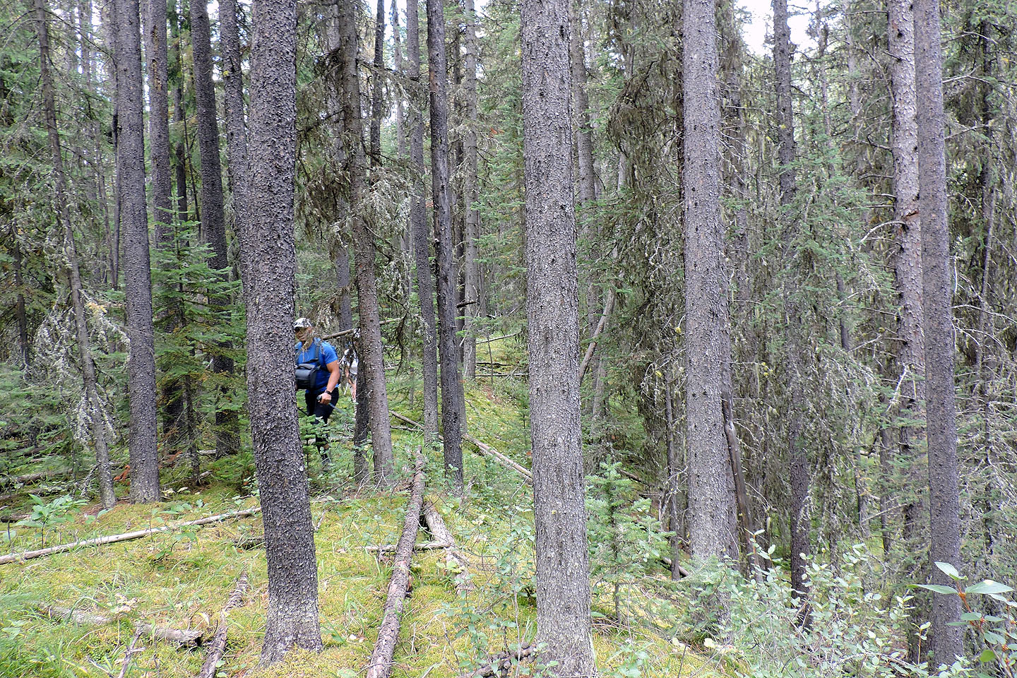
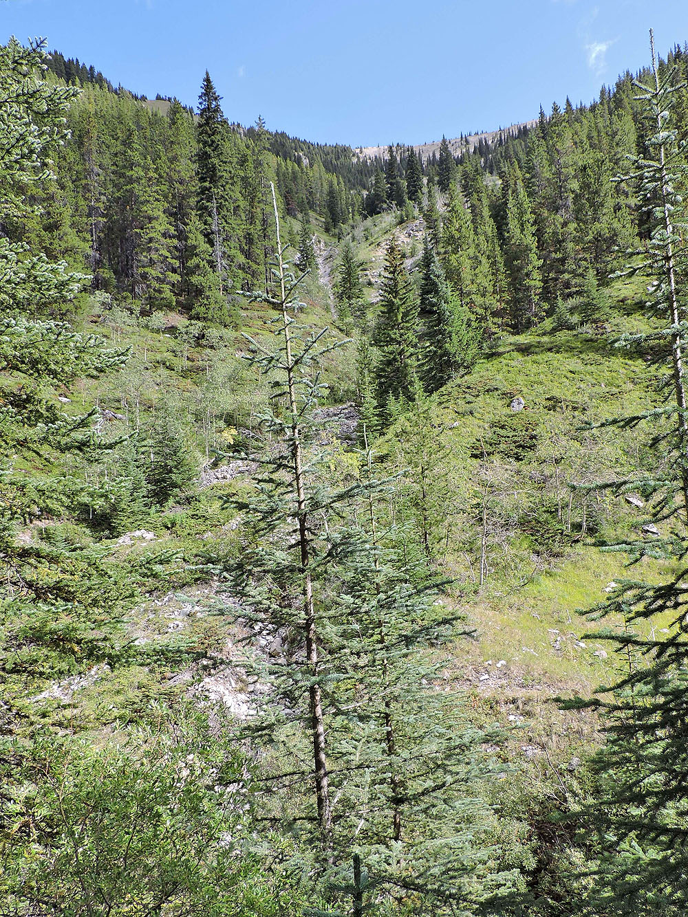
Although it wasn't washed away, the trail ahead was in poor shape. Overgrown and beset with deadfall, it was hardly a trail at all. We followed it and after crossing the creek twice, we were near the gully we wanted to ascend. (In 2004 Dinah and I climbed the southwest ridge, but that entailed bushwhacking; the gully is mostly open.)
After passing a small waterfall we looked for a place to cross the bushy creek. But when the trail ended abruptly, it forced the issue; we backtracked a short way, crossed easily, and found ourselves at the bottom of the gully. Exactly two hours after we started, we began our ascent.
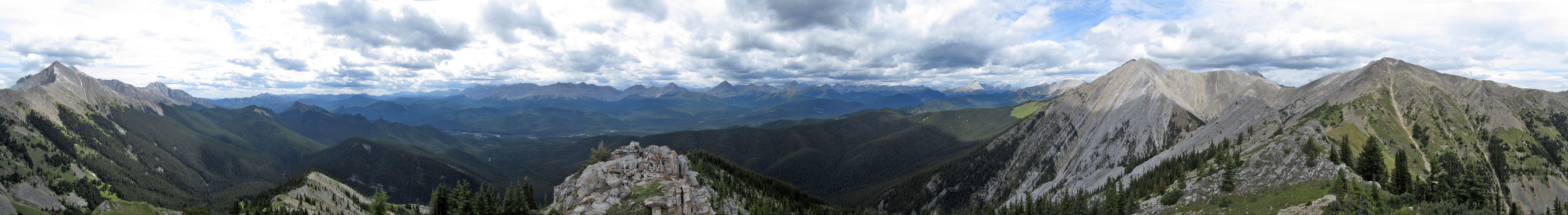
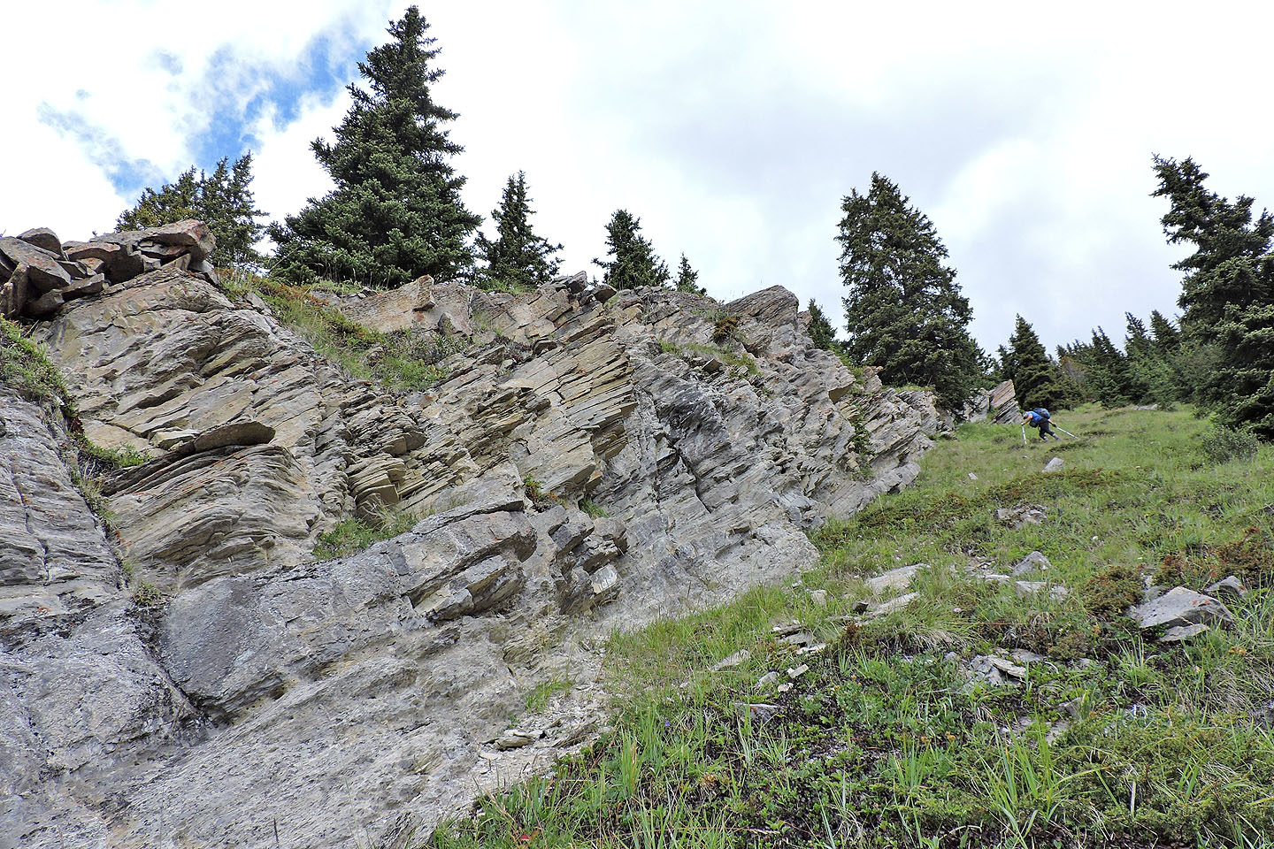
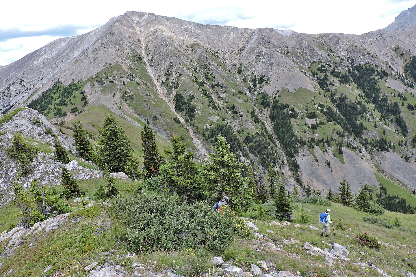
Navigation couldn't be simpler. We ascended the gully until we came to a cliff band on our left. This cliff band, 200-300 metres long, extends almost to the summit. We hiked up the grassy strip next to it. It was a long, steep climb and we all wondered if it would ever end. But eventually it did. We reached the ridge crest just a few dozen metres short of the summit.
From the summit, I scanned our surroundings for mountain goats. When Dinah and I climbed Cat Creek Knob we saw five. A year later while exploring the area we saw a herd of twelve! And that same year I saw one on nearby Serendipity Peak. But on this trip, we saw none.
For our return, we started down the south ridge before swinging right to get back to the gully. Except for a bit of loose rock partway, it was an easy descent. The last 200 m drop was down a pleasant, grassy slope. We retraced our steps down the gully to the side creek and followed 25C to where it had been washed away. We bushwhacked back to the trail along Cat Creek but avoided the steep slope we ascended.
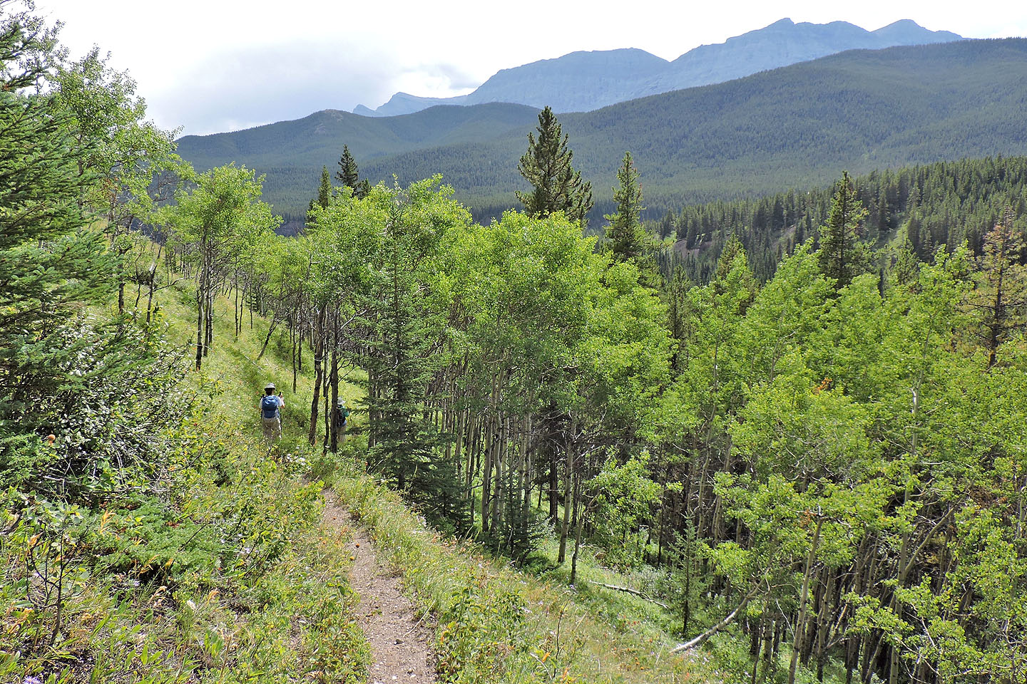
We followed the trail back except for one change. We took a different trail that skipped the falls. However, it took us down a meadow for a final view of the mountains before dropping onto the wooded road.
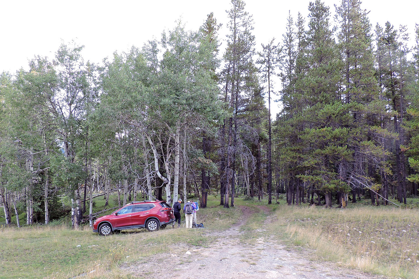
We parked at the start of a logging road
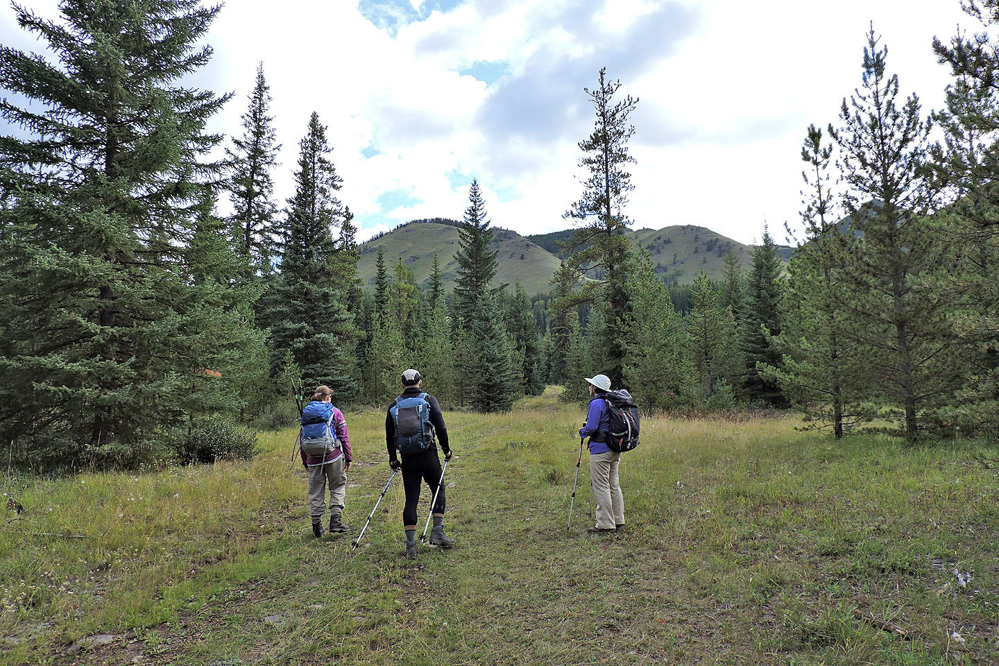
From the road we can see Cat Creek Hills but won't catch sight of Cat Creek Knob for a long time
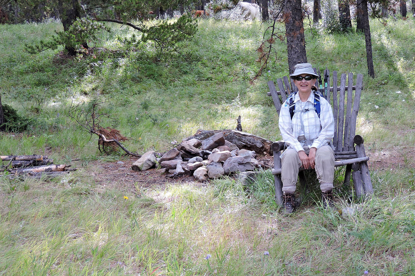
Zora takes a break in a roadside chair
We left the road and followed a side trail to the falls
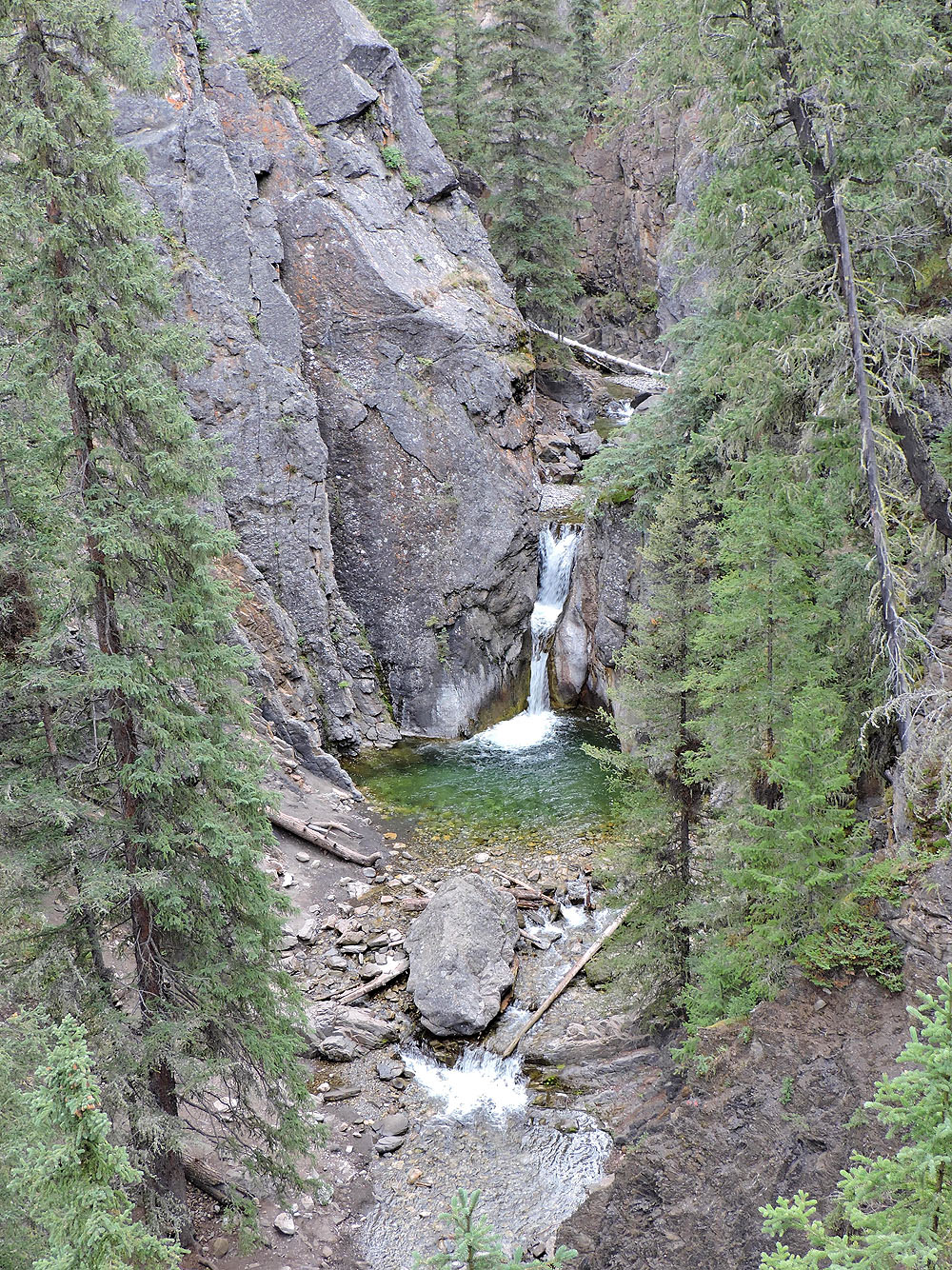
Lower falls (mouse over for a closer look)
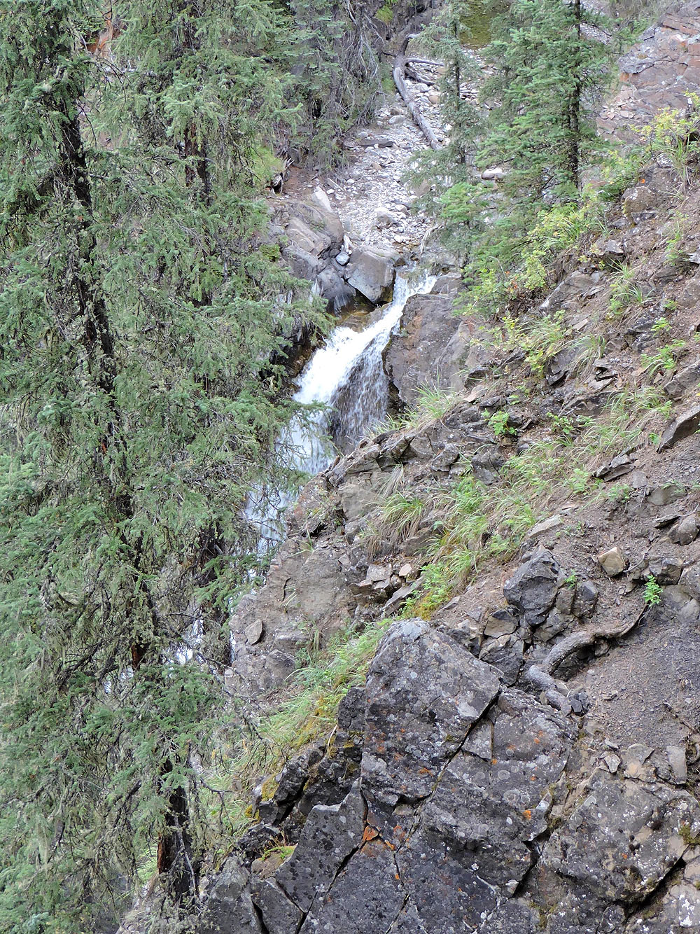
Upper falls
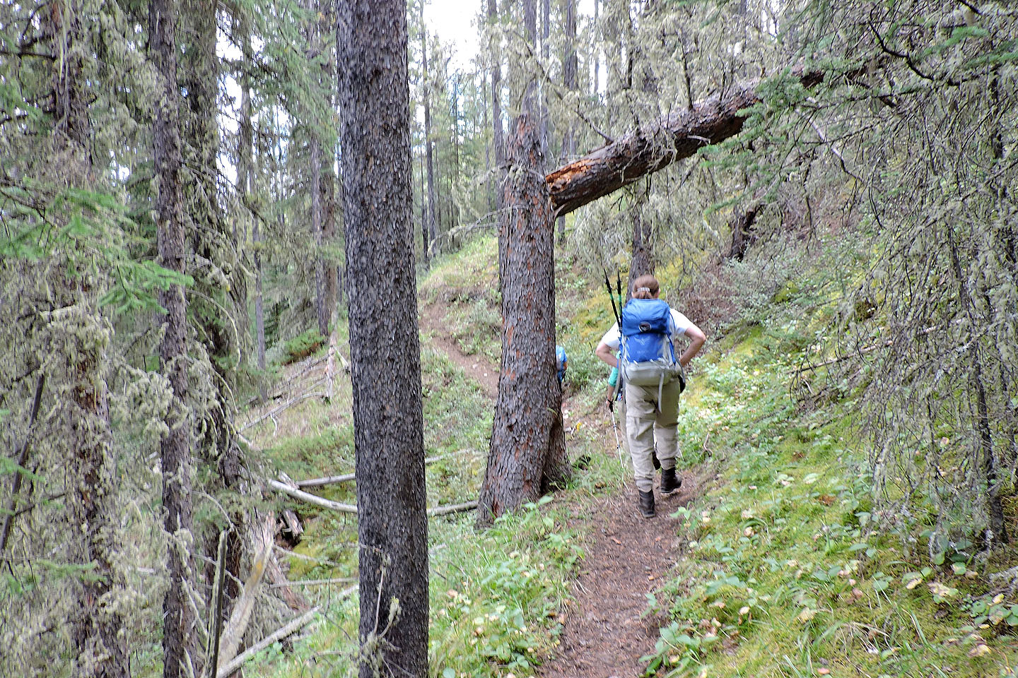
A tree appears ready to fall
Back on the logging road, we stopped to examine an adit (mouse over)
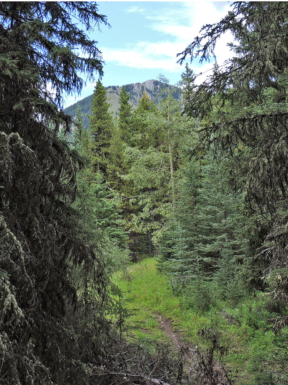
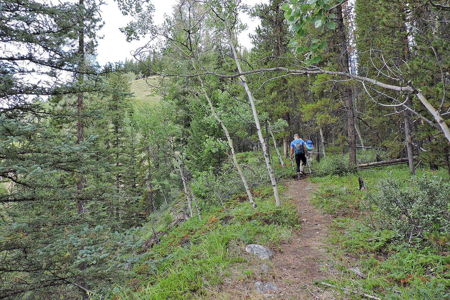
We caught a glimpse of our peak ahead
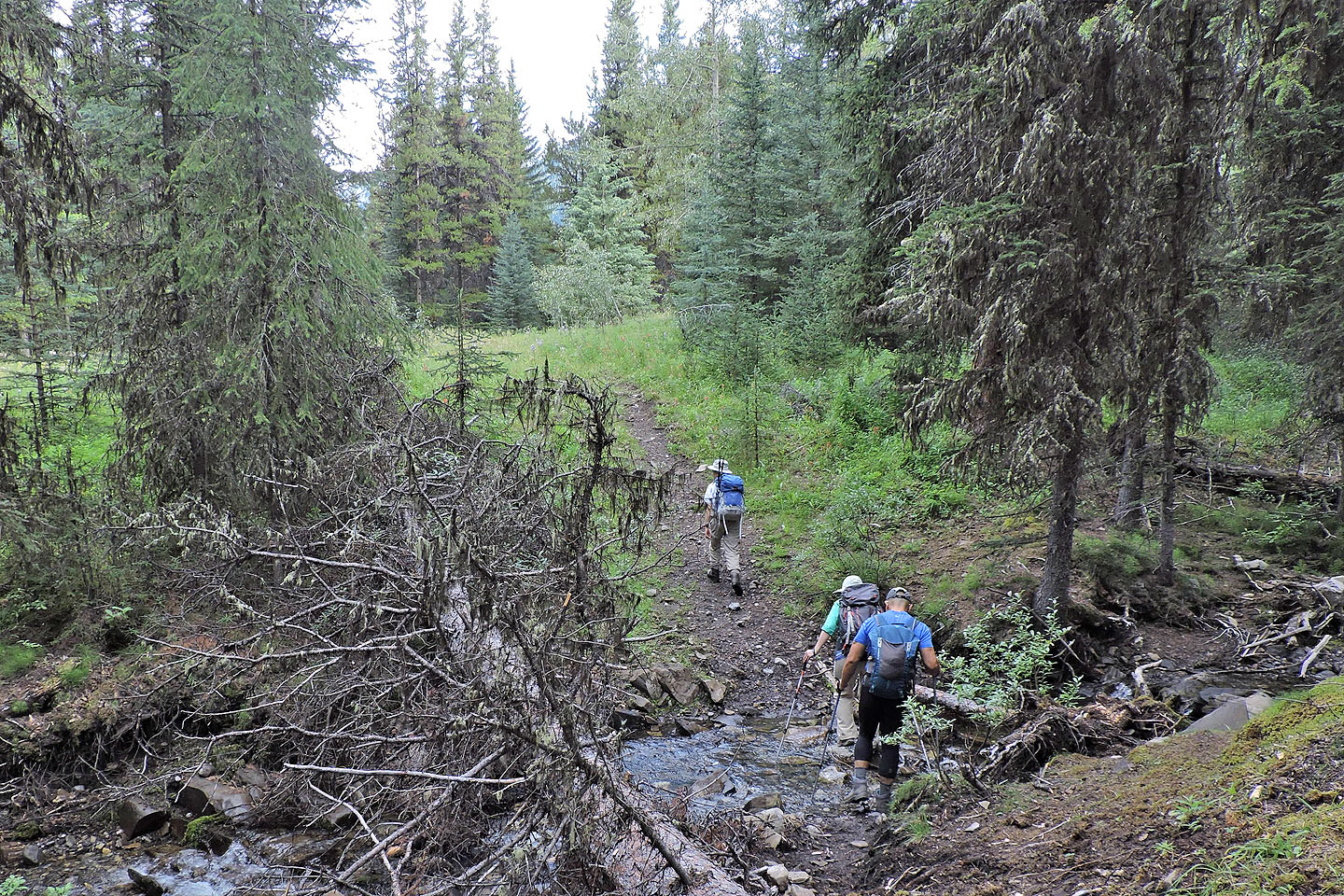
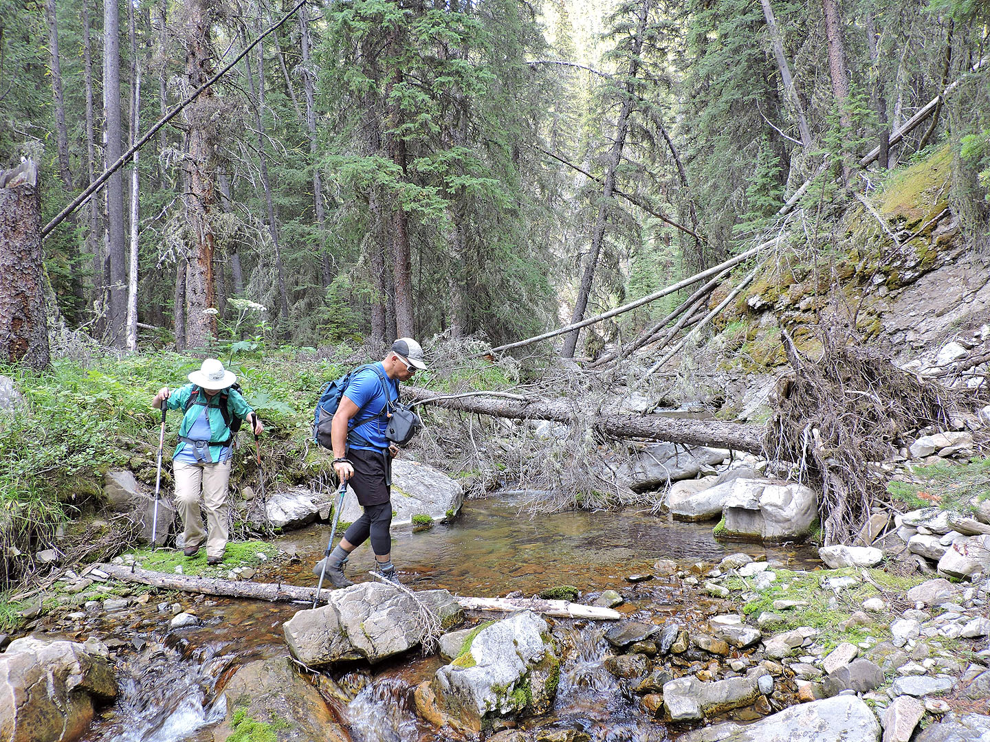
Trail 25C begins after this stream
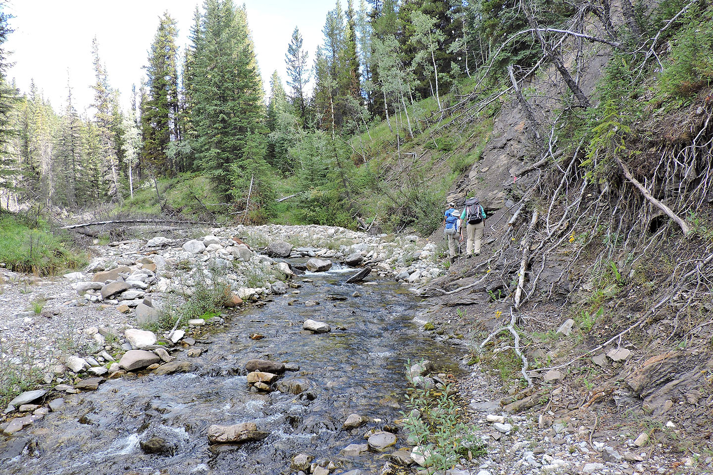
The trail briefly touches the bank of Cat Creek but continues up the rise ahead
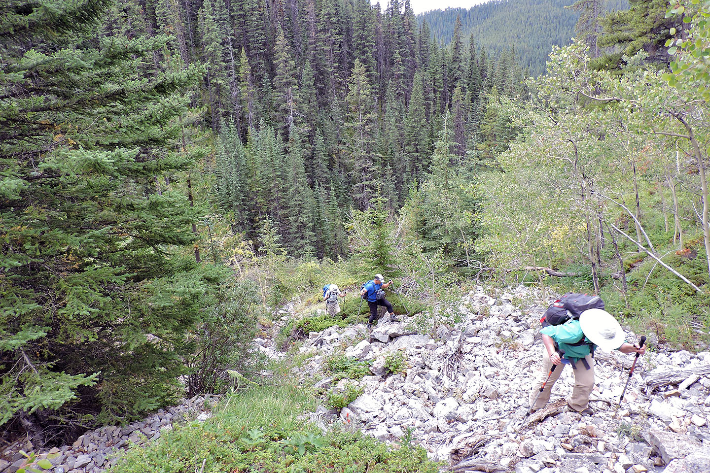
A short time later the trail ended, completely vanished

We climbed to the top of the bank
We bushwhacked to get back onto trail 25C by the side creek
We got on trail 25C (visible lower left) to discover that it was completely gone behind us
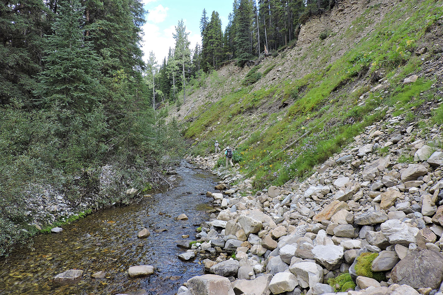
The trail wasn't much of a trail at all. This is one of the nicer sections.
To reach the ascent gully, we crossed the creek above this waterfall
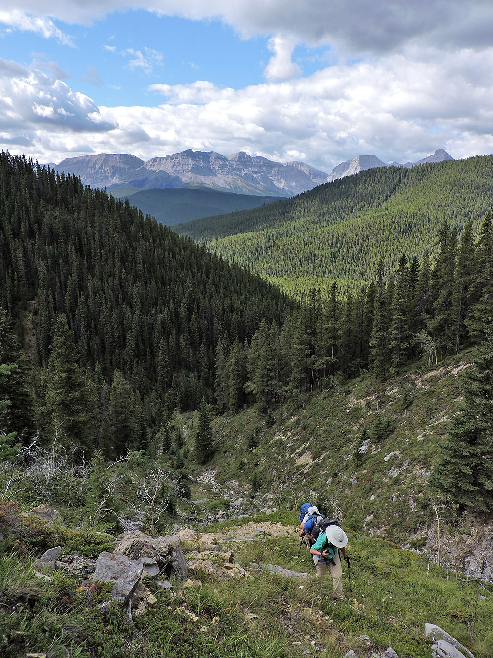
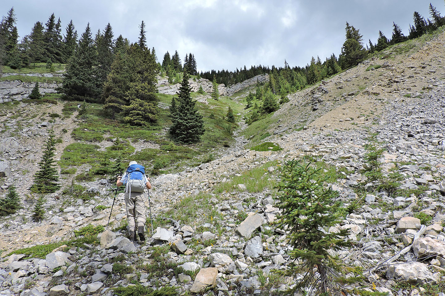
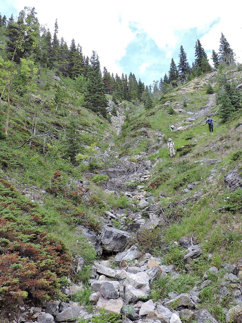
Looking up the gully
Starting up the gully
We faced a long, steep hike
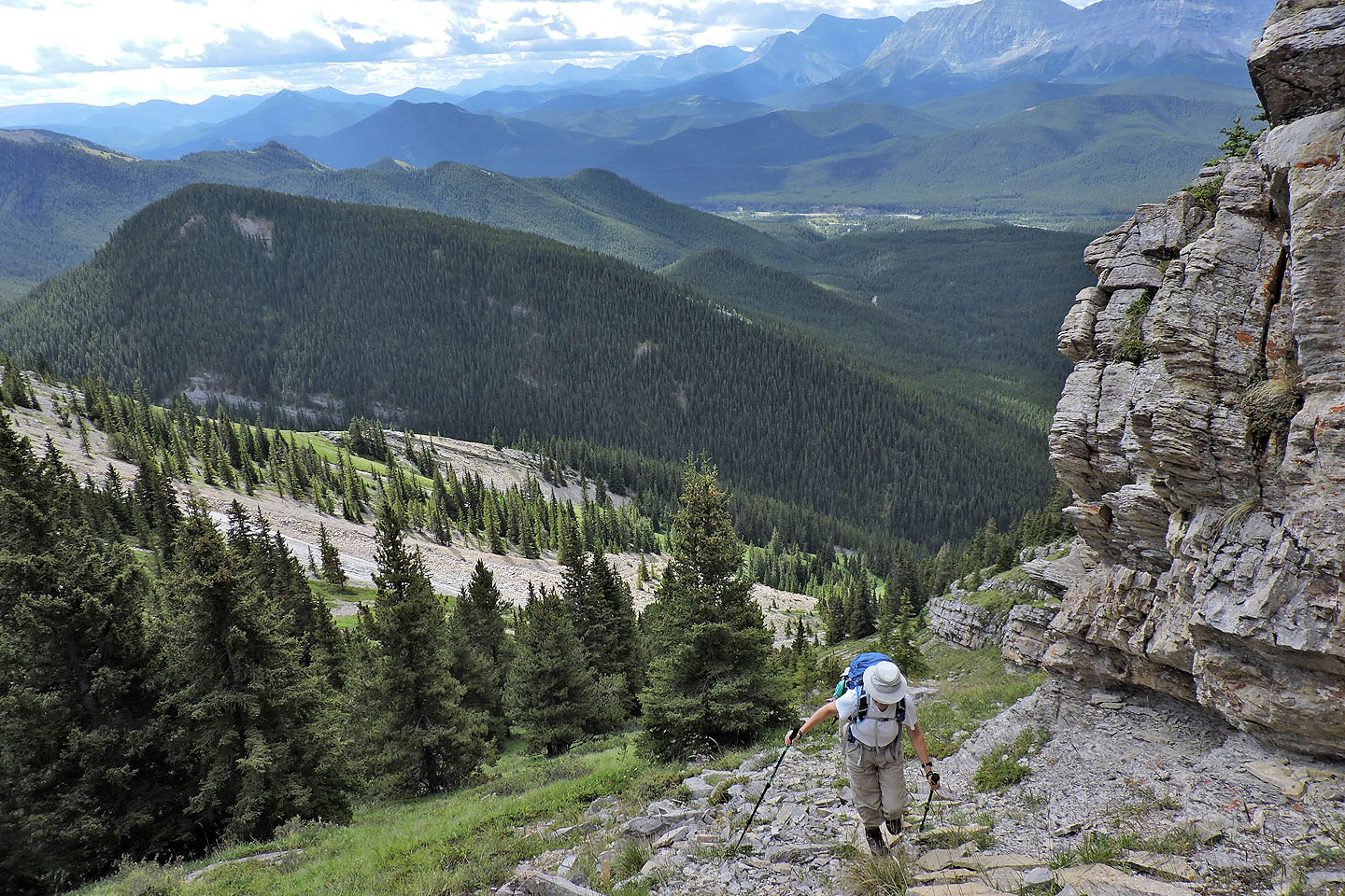
From here we followed the base of the cliff band almost to the summit
Later we descended the ridge on the left
The cliff band goes on and on
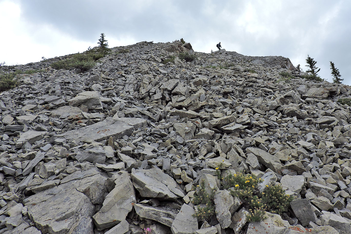
We encountered loose rock just below the ridge crest
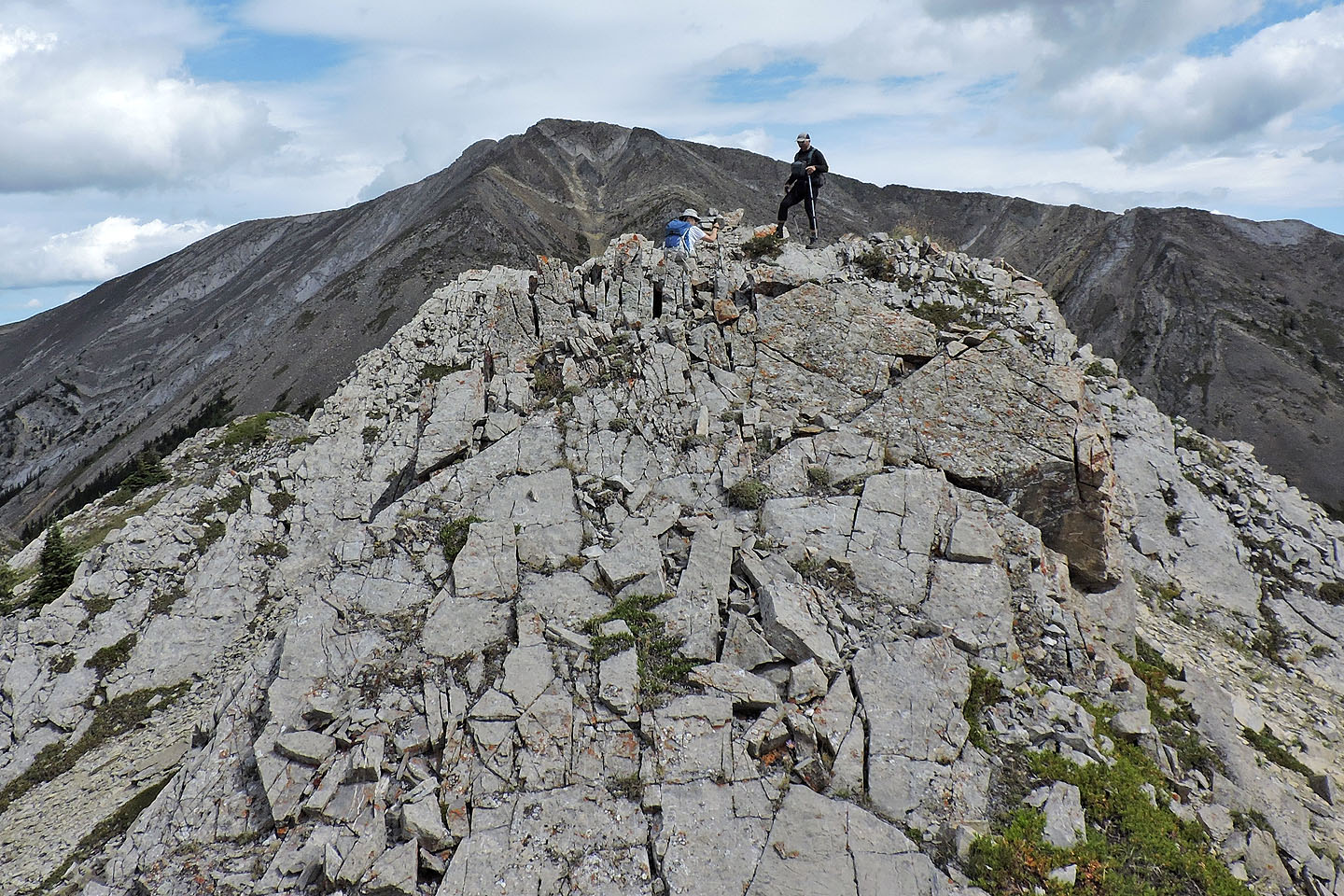
Zora and Jonathan reach the summit
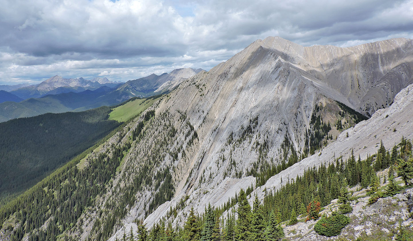
North is Serendipity Peak
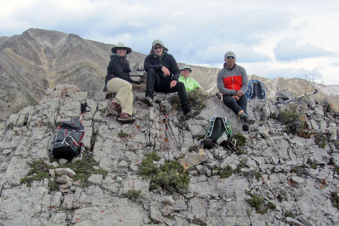
Goulfia, me, Zora and Jonathan relax on the summit
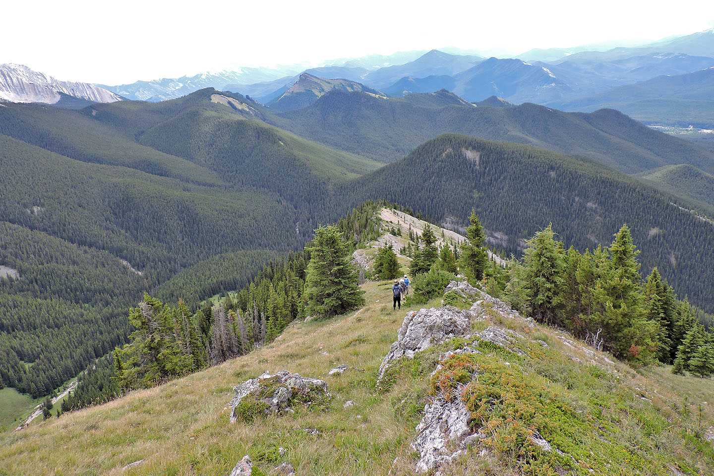
Starting down the south ridge from the summit. In the background is Cat Creek Ridge.
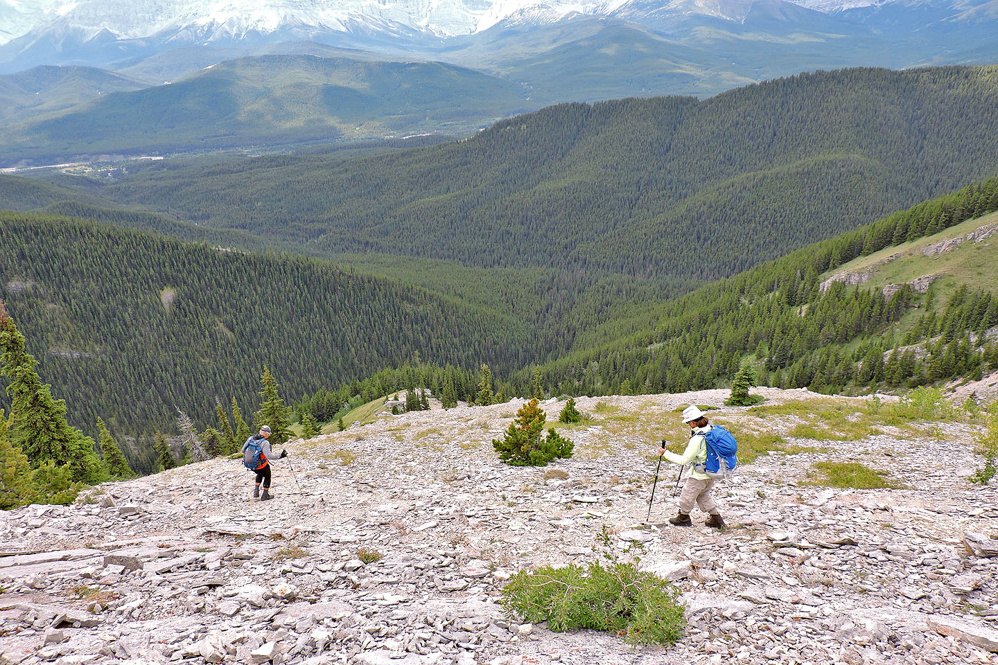
The entire descent back to the gully – nearly a 400 m drop –
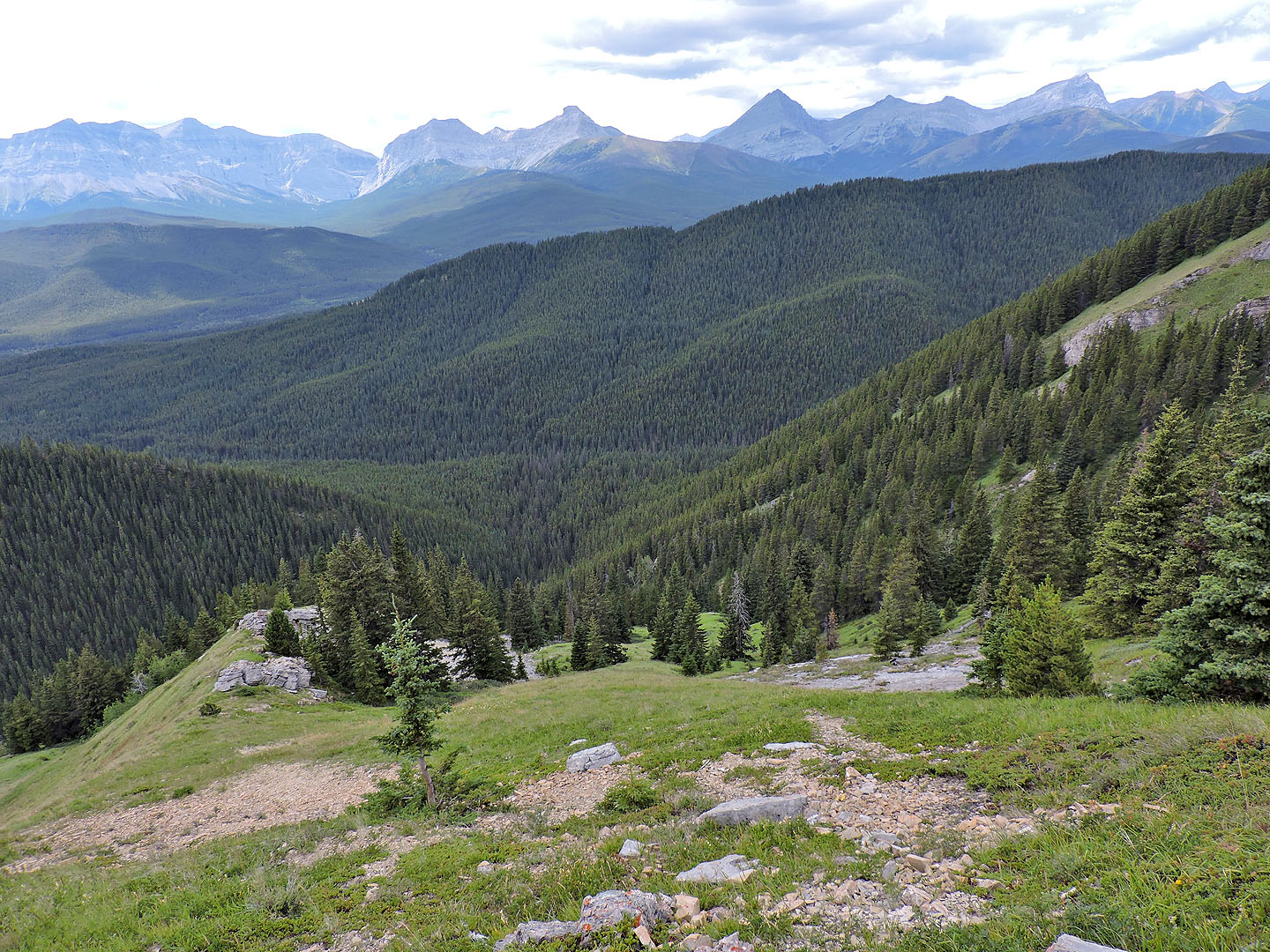
was pleasant. The two hills near the top (mouse over) are Stony Ridge and the highest point in Cat Creek Hills.
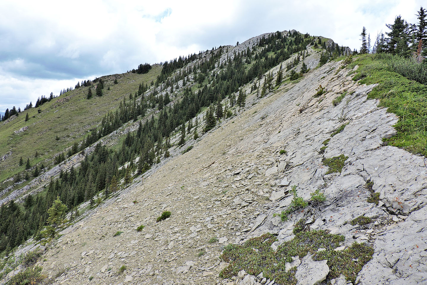
Looking back at the summit after descending partway. Left is the long cliff band we ascended beside.
We followed the ridge almost to the point ahead before turning right
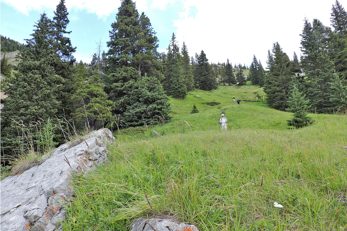
Below the rock, we welcomed a long stretch of grassy slope
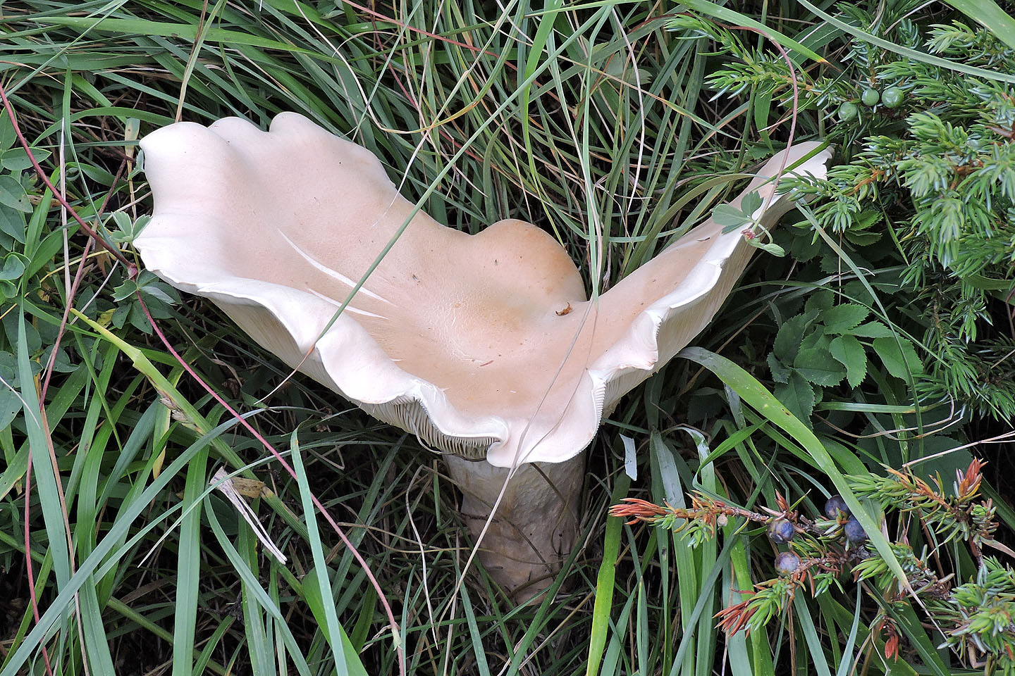
We came across a large, beautiful mushroom in the grass
Looking back up the slope
Coming down the gully. The ascent and descent routes meet near top right.
 Back on trail 25C where it crosses the side creek
20 minutes from the car, we took a different trail back that skips the falls
82 J/7 Mount Head