bobspirko.ca | Home | Canada Trips | US Trips | Hiking | Snowshoeing | MAP | About
Cat Creek Ridge
Kananaskis, Alberta
October 14, 2006
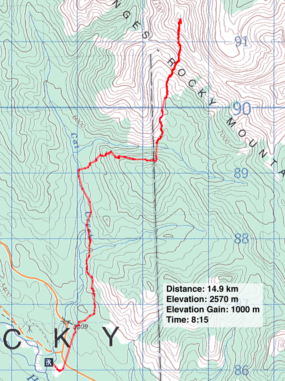
Distance: 14.9 km (9.3 mi)
Cumulative Elevation Gain: 1073 m (3520 ft)
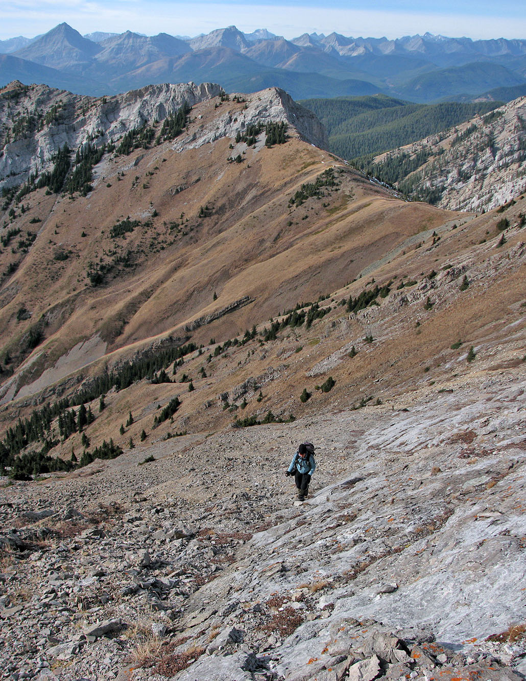
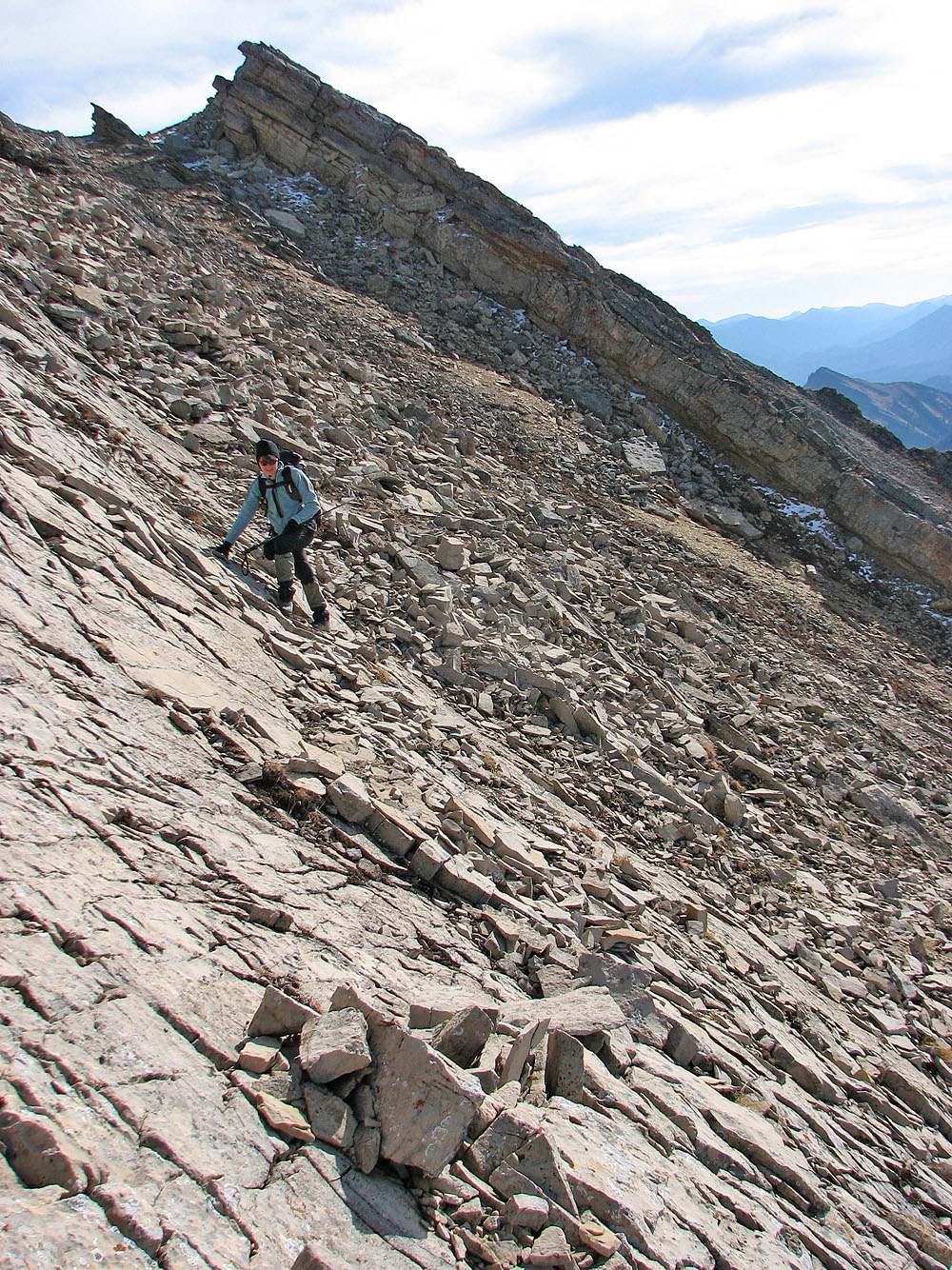
After last year's attempt to reach the summit, we returned this year to bag the peak. This time we hiked deeper into the valley below the ridge before starting our ascent. We were hoping to do a ridge walk, but the crest was a crumbling knife-edge, so we dropped down and traversed on the rubble below it.
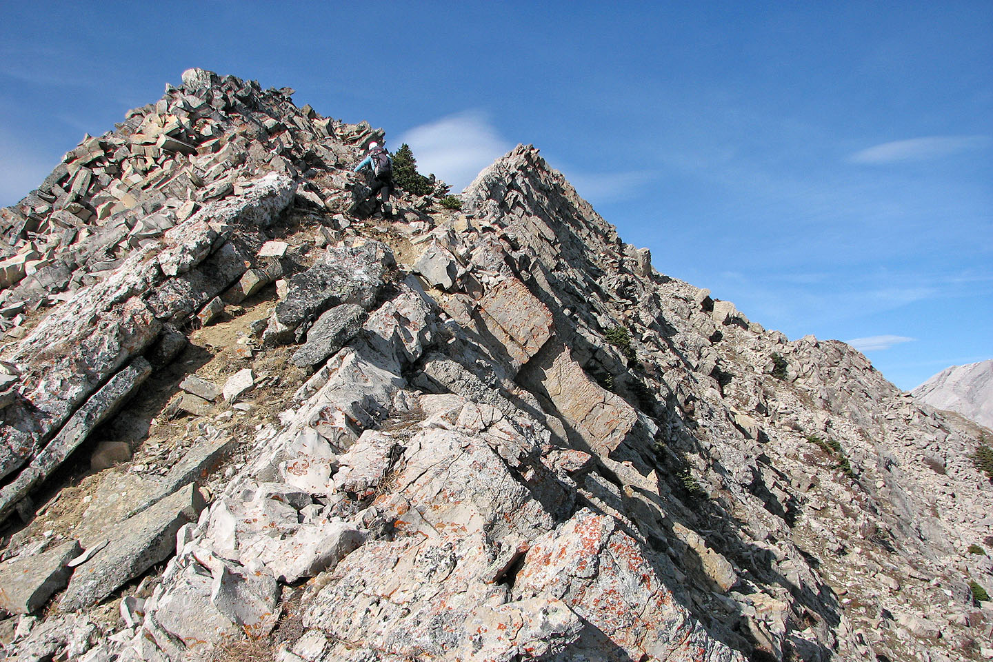
We headed for an obvious point, but it turned out to be a false summit. Behind it was another sharp ridge. The left side of the ridge was a steep slab, but fortunately we were able to traverse on the right side where we could easily scramble up to the summit.
Instead of returning the same way, we dropped down the southwest side and angled back down to the valley where we had started the ascent. (Map shows our descent route.)
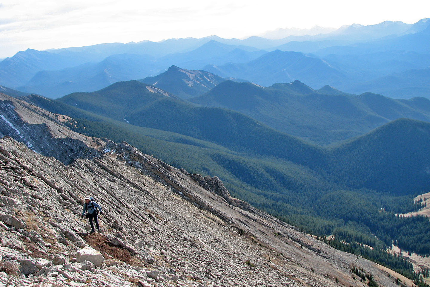
It was a fine day with surprisingly warm temperatures. The slopes were completely dry. In contrast, our mid-September trip last year was cold and the mountain was under snow. However, last year we saw a dozen mountain goats on the mountain. We were disappointed not to see any on this trip. Instead, we caught only a glimpse of a mountain sheep.
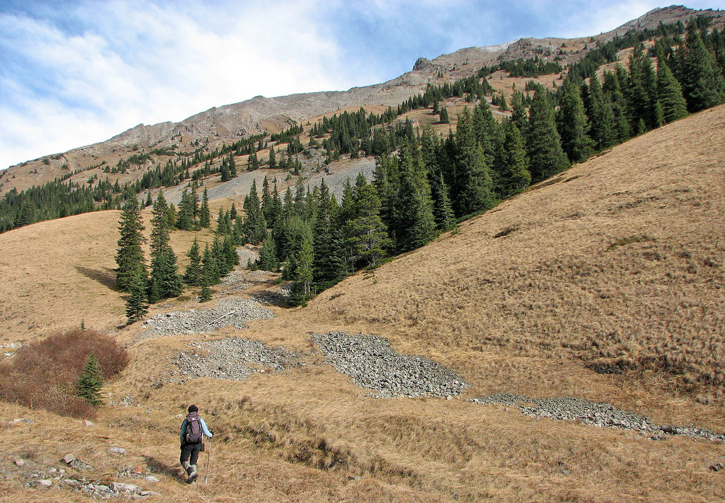
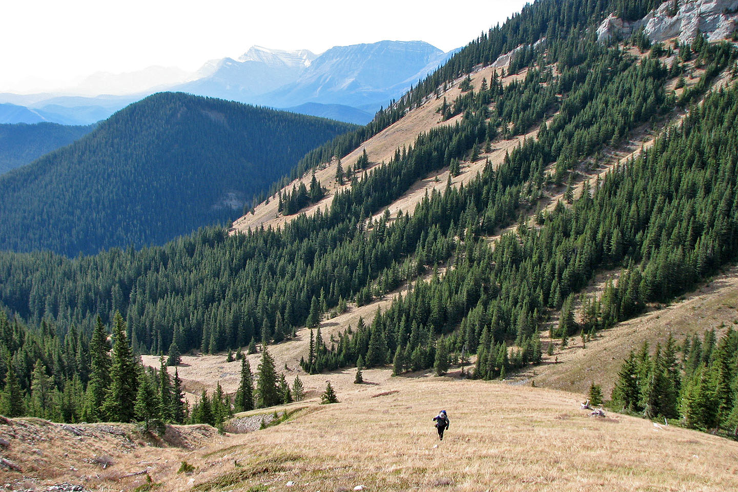
Entering the valley
Before reaching the end of the valley, we headed up the slope on the right
Seen from below, the summit lies between the low bump on the left and rock outcrop right of centre
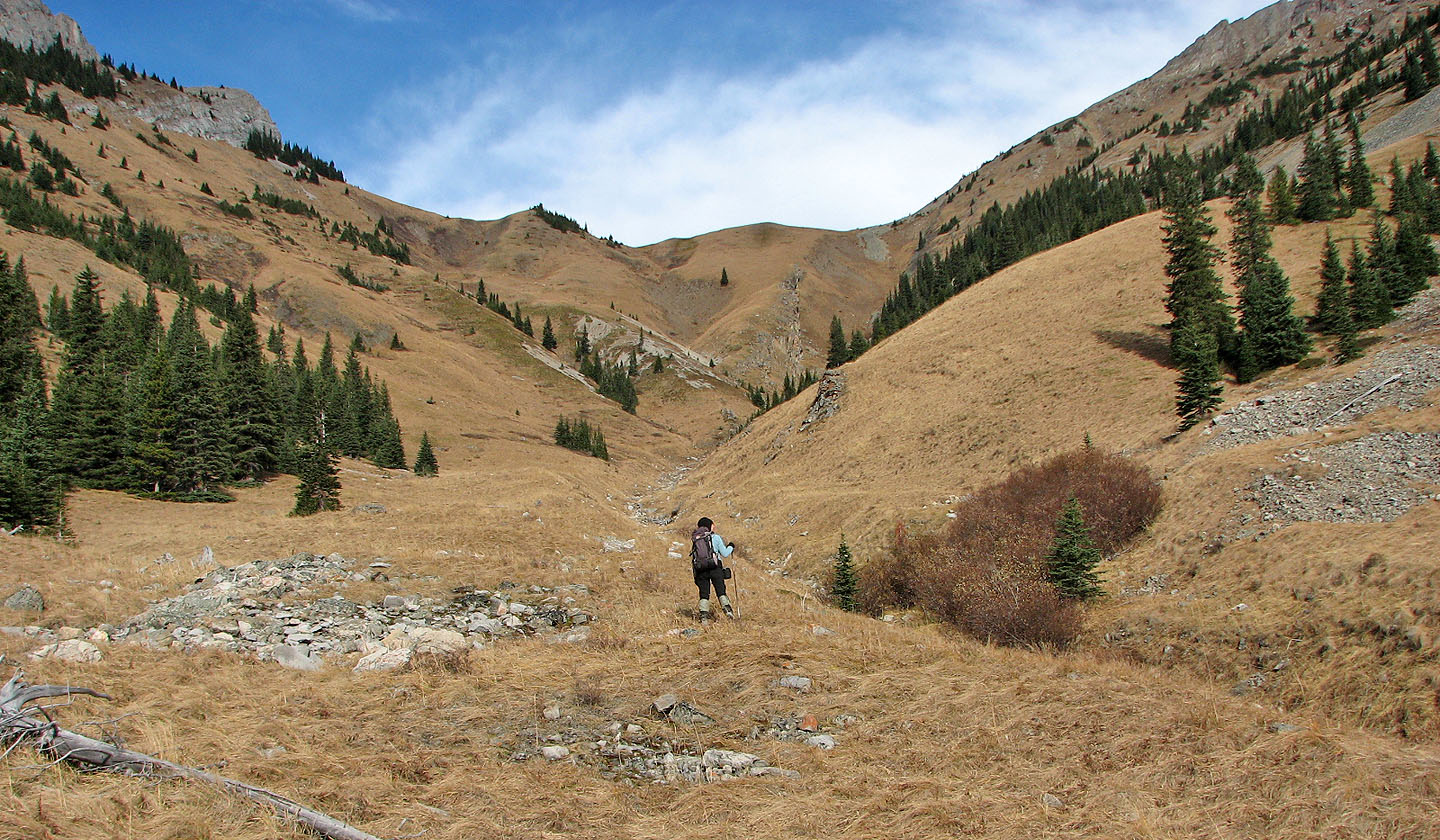
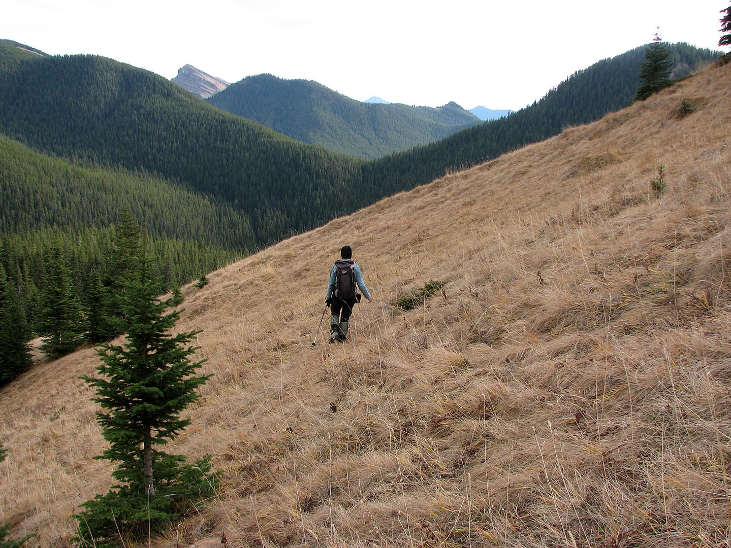
Starting up
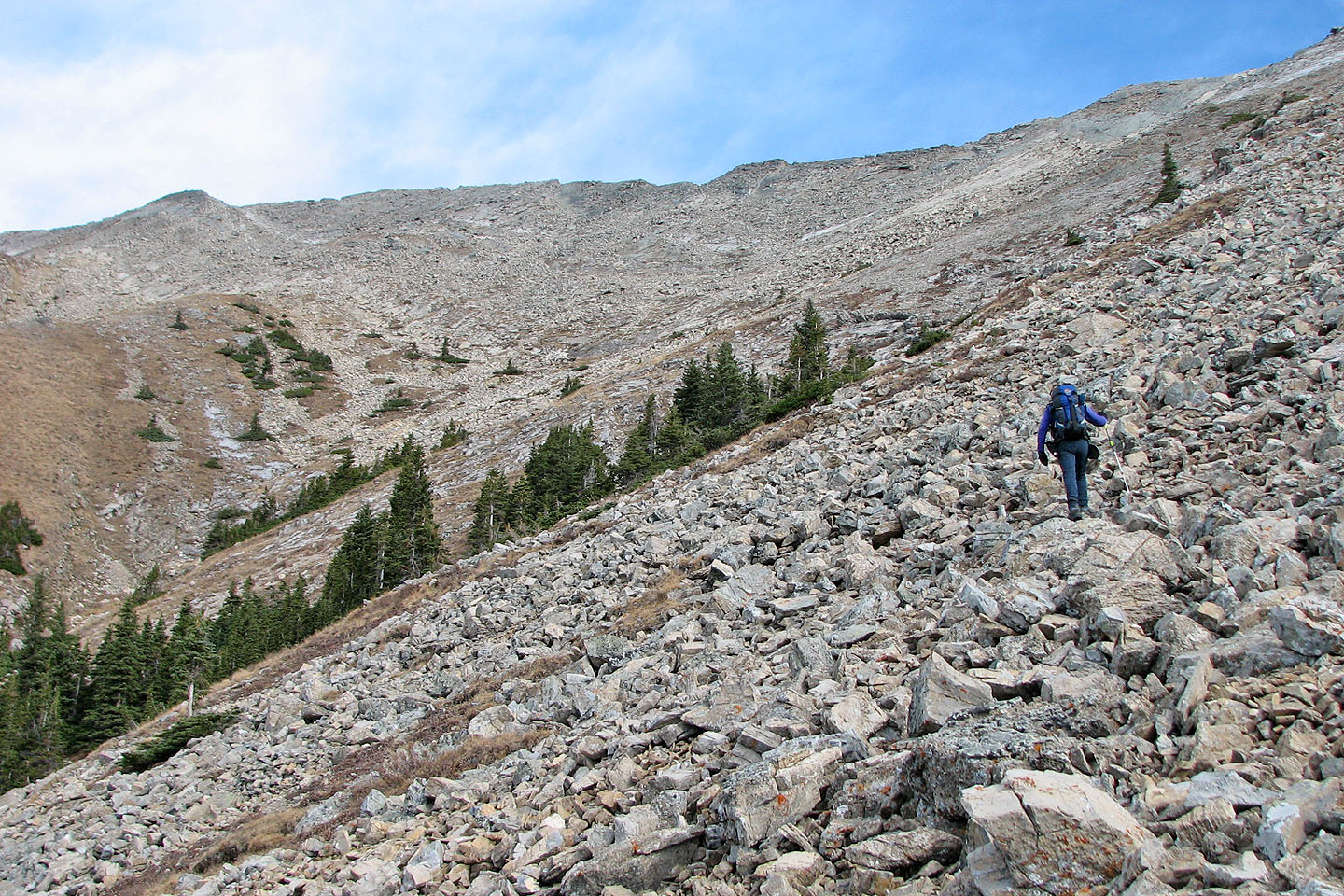
We left the grassy slopes and started up the rubble
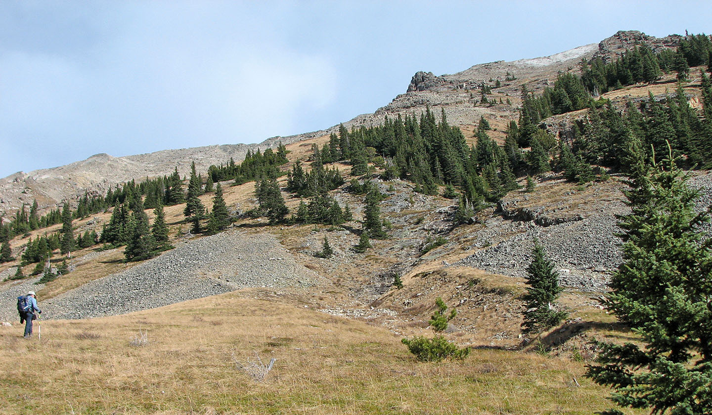
Cat Creek Knob behind us
We headed to the false summit
Looking down at the col between Cat Creek Knob and Cat Creek Ridge
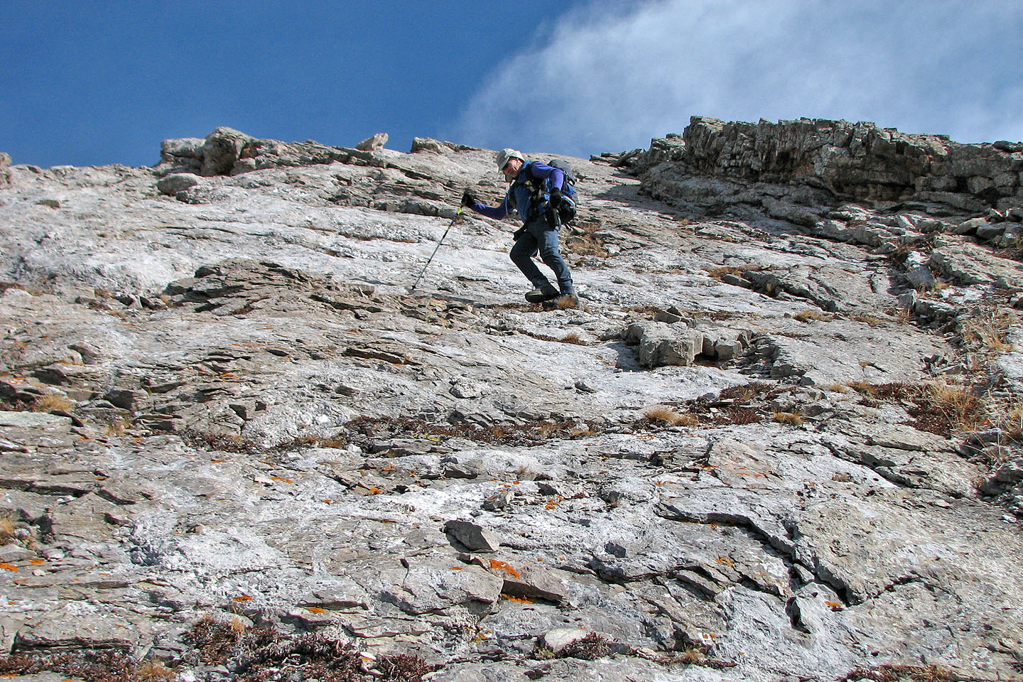
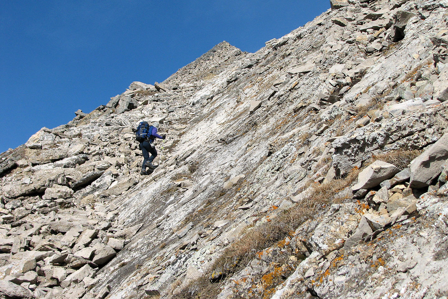
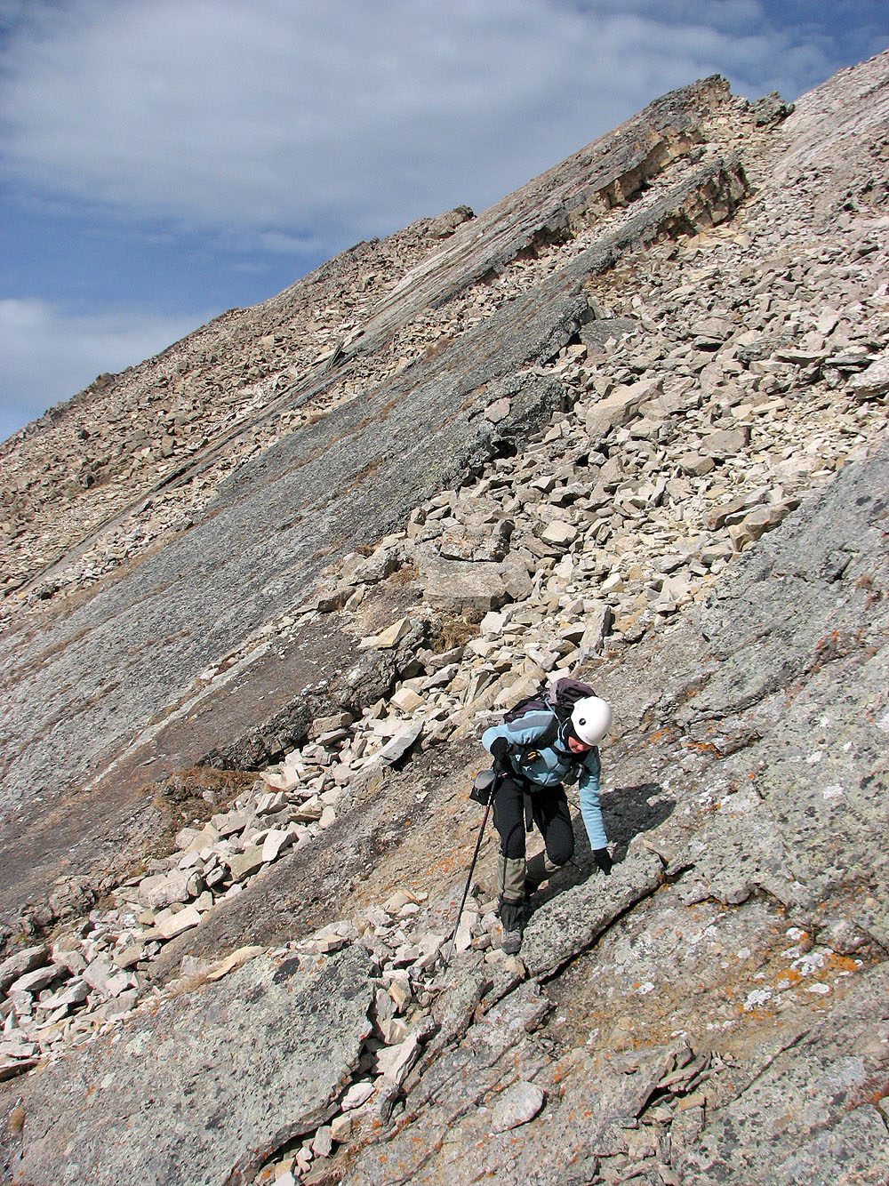
Traversing slabs
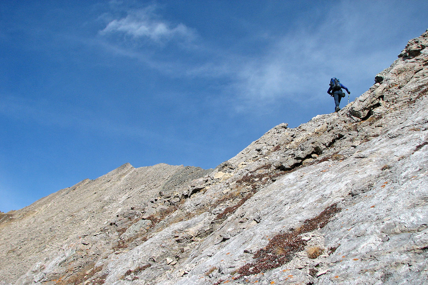
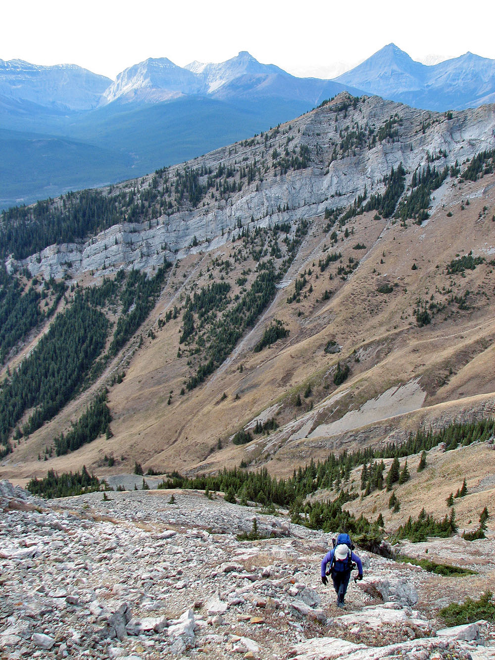
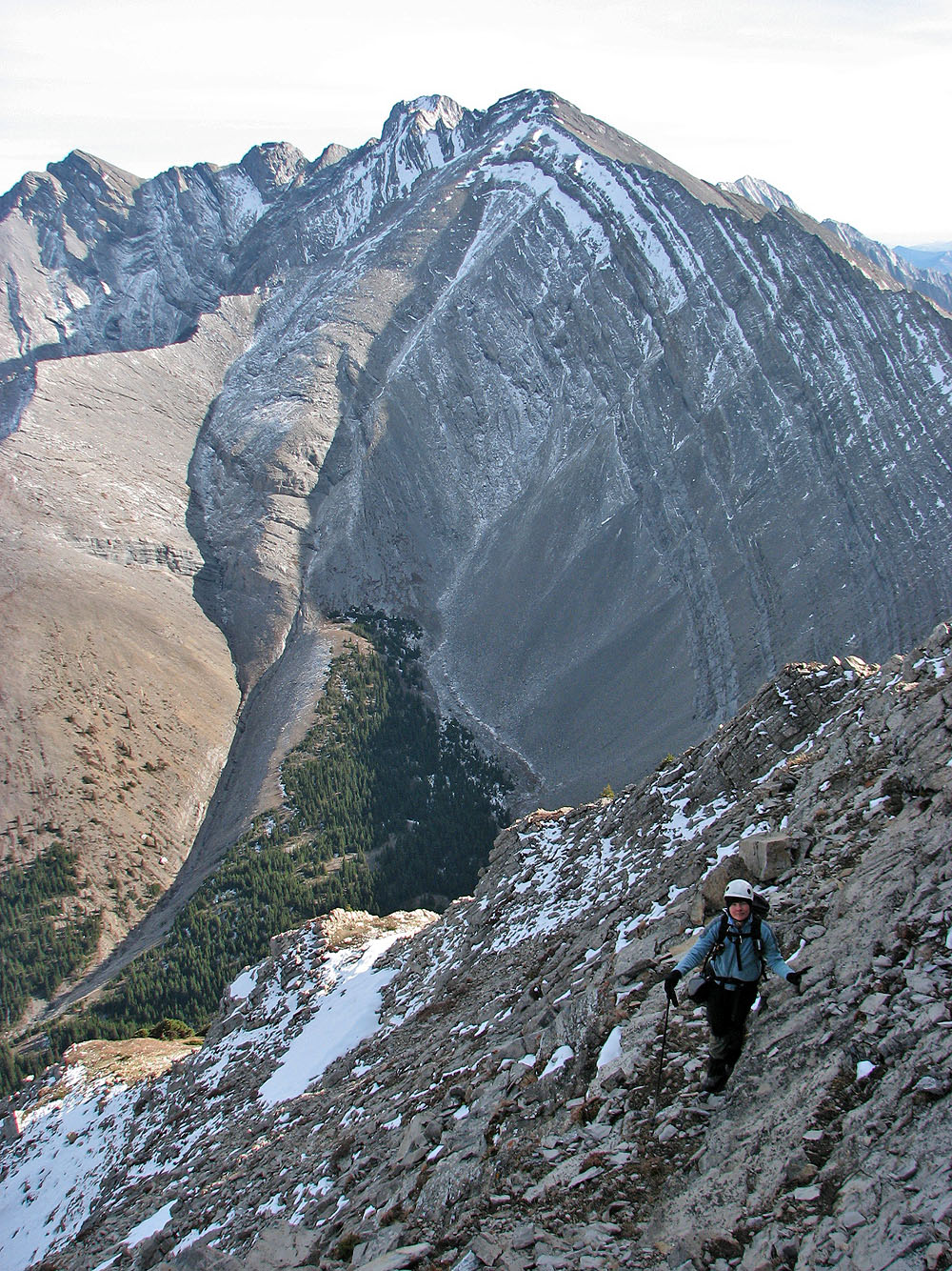
The false summit is still distant as we ascended the ridge
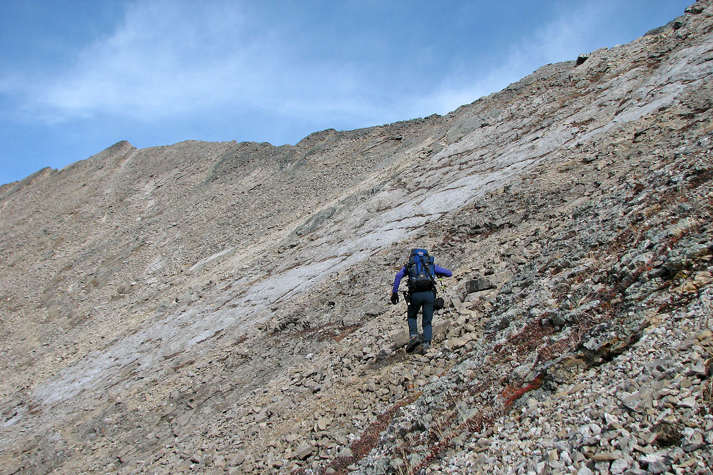
Following the ridge isn't the way to go, so we dropped down and traversed below it
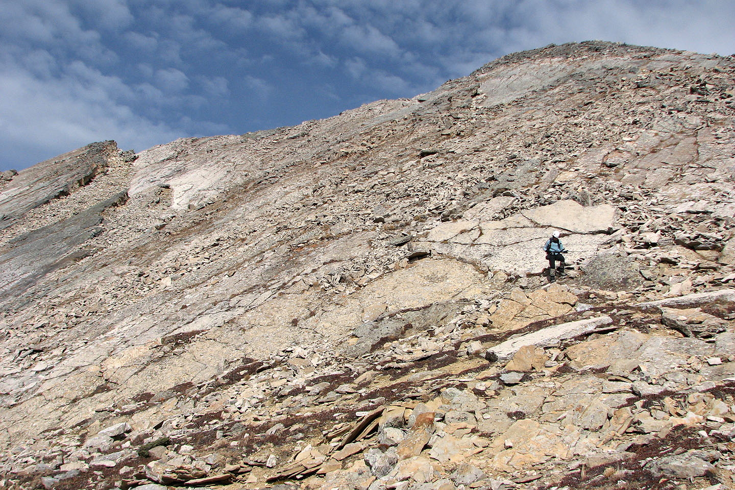
Looking back from where we had gained the ridge
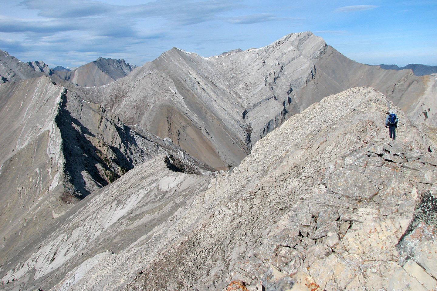
False summit above
Looking back
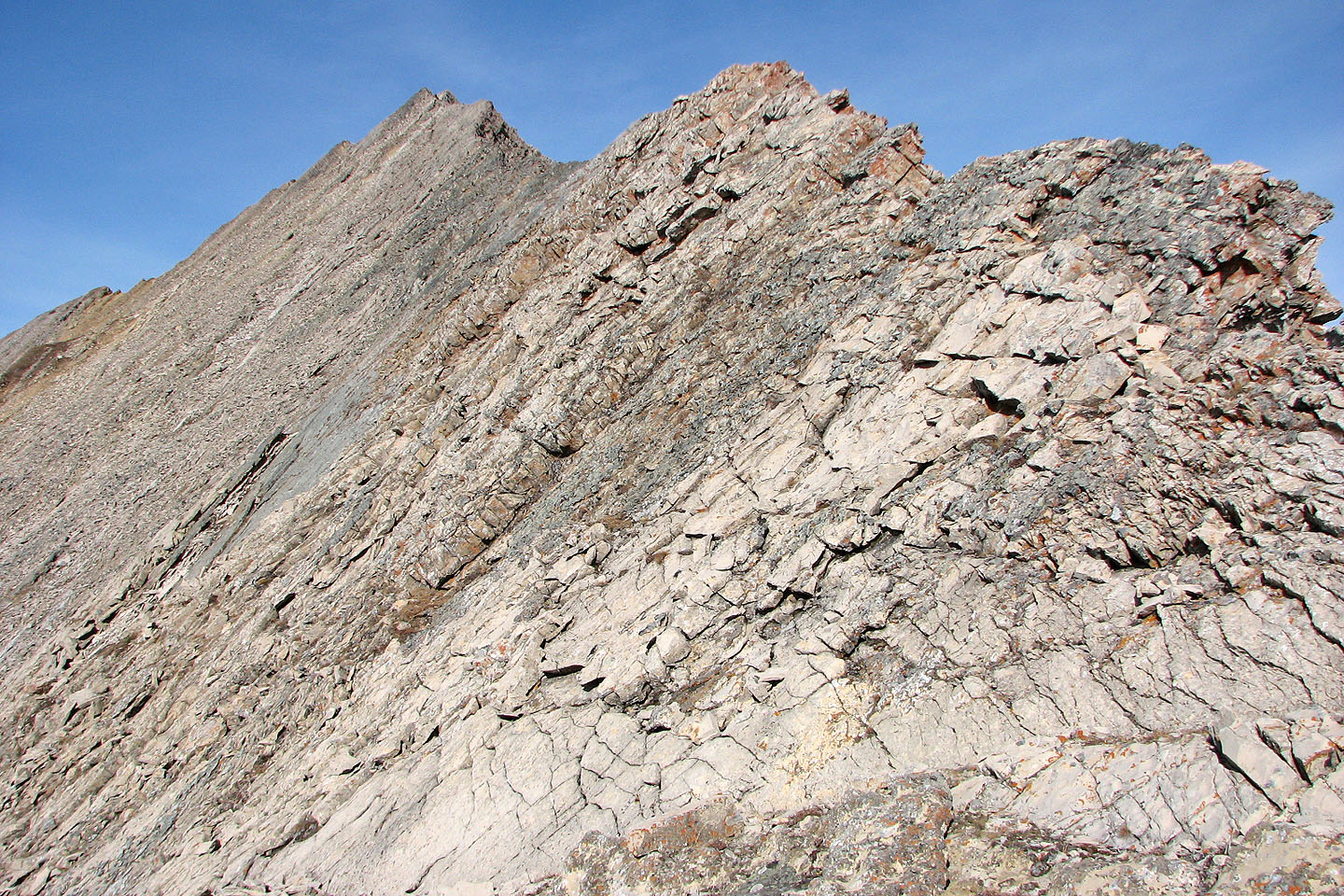
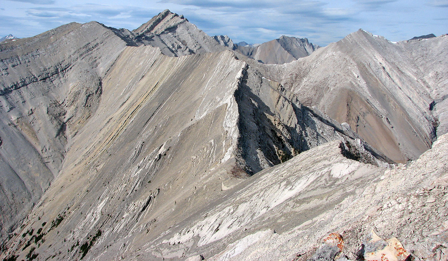
False summit on the left. The true summit is just beyond the point on the right.
Traversing below the summit on the backside
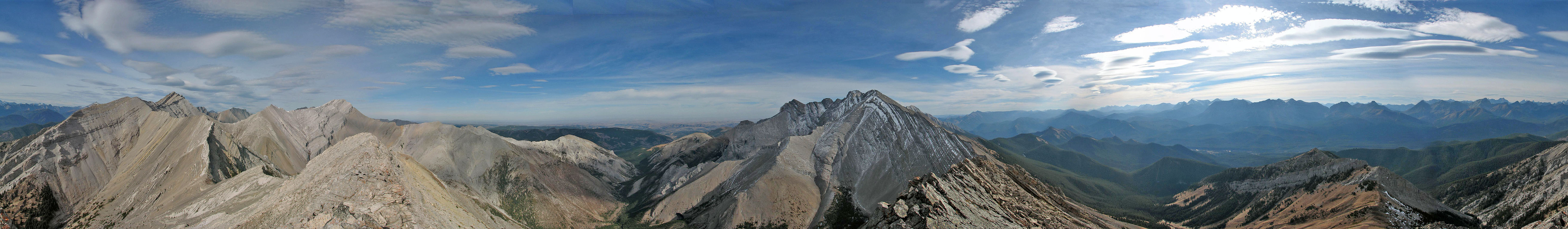
Patterson's Peak on the right
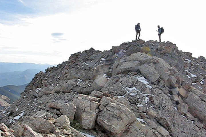
On the summit
Serendipity Peak far left
On our way down
False summit is above Dinah. The true summit is in the centre.
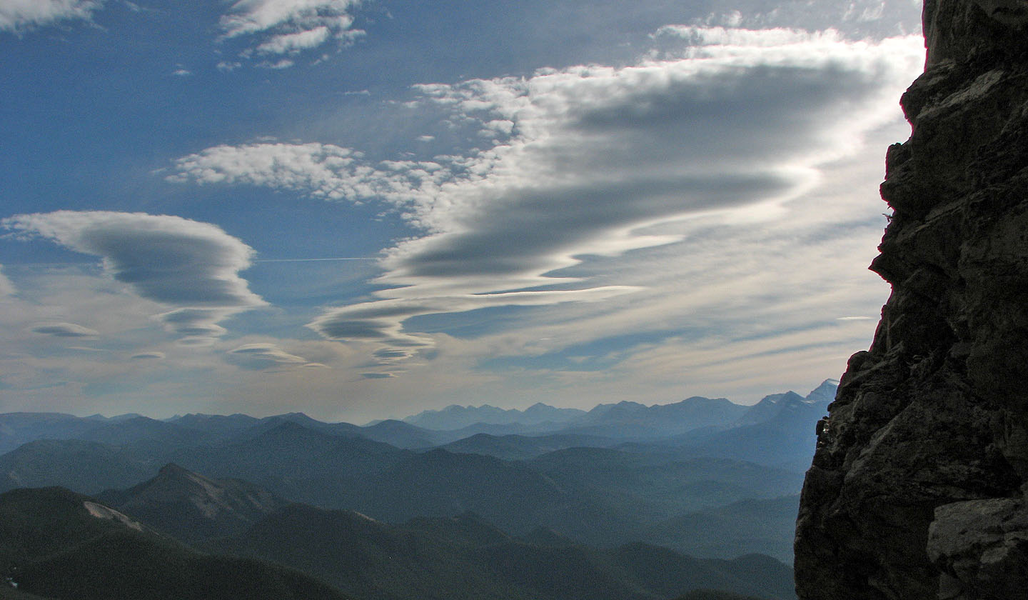
Interesting cloud formation
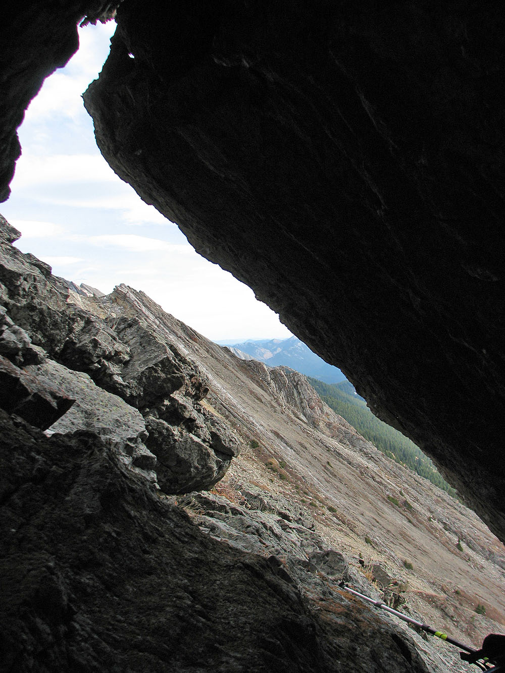
Looking back at the ridge from a window (mouse over)
Heading back, the tip of Junction Hill appears
(mouse over)
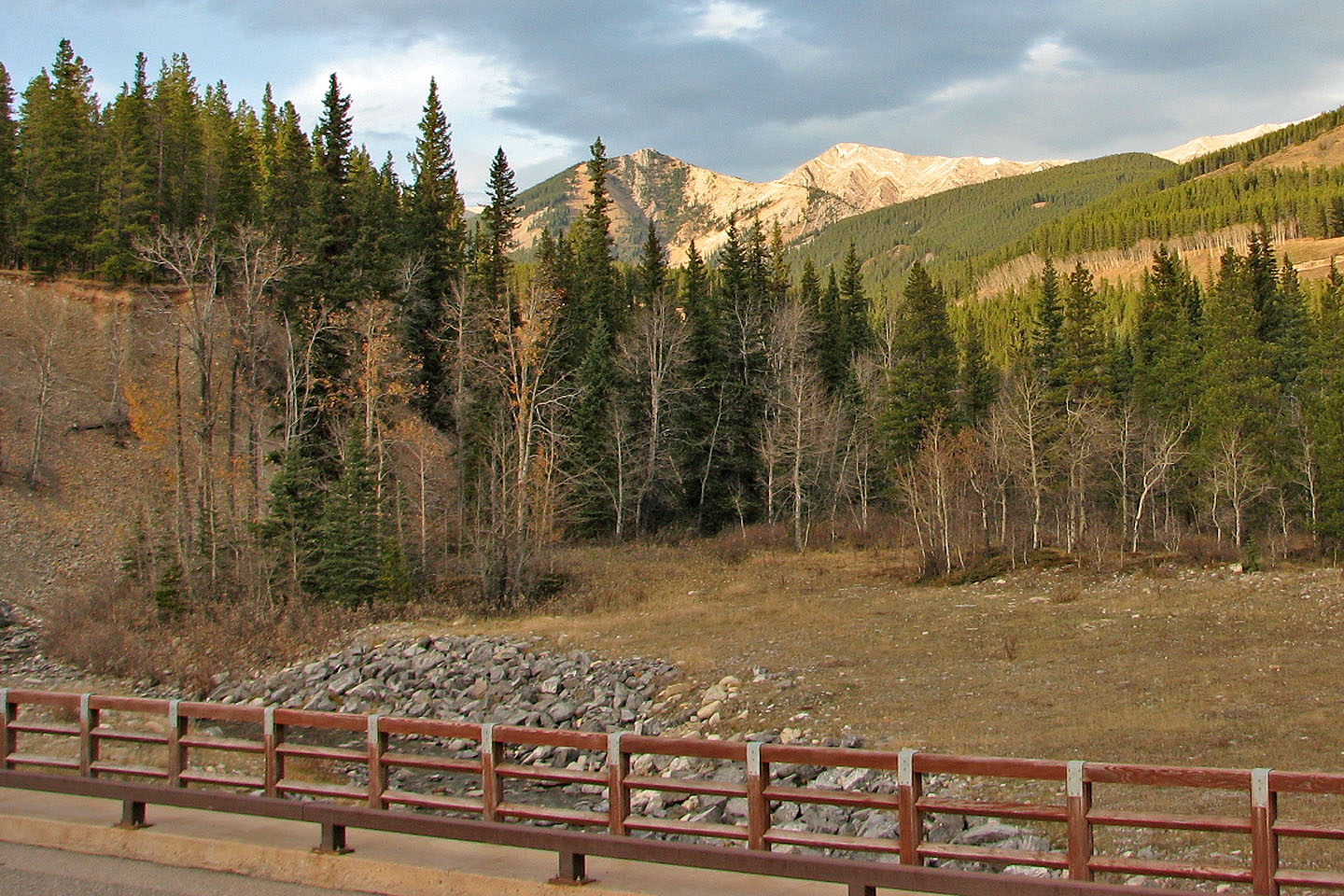
Cat Creek Ridge from the highway (mouse over for our route)
82 J/7 Mount Head