bobspirko.ca | Home | Canada Trips | US Trips | Hiking | Snowshoeing | MAP | About

Serendipity Peak
Kananaskis, Alberta
October 24, 2005
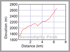
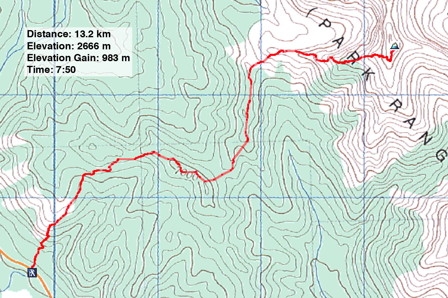
Distance: 13.2 km (8.2 mi)
Cumulative Elevation Gain: 1115 m (3658 ft)
What began as a reconnaissance became a successful bid on an unnamed peak. Since I was fortunate to ascend the unplanned peak late in the season – an enjoyable trip to boot – it seemed apt to call it Serendipity Peak.
I planned this trip when I noticed a two low ridges on the map. These led to the base of the Highwood Range where I could scope out possible routes. Despite the bushwhacking approach, I knew from experience in this area that grassy slopes would ease my journey. I needed to traverse two ridges on the approach. I planned to follow semi-open slopes to reach the first ridge (running west to east) that led to a high point (615911). From there I could drop down about 100 m and follow the second ridge (south to north) to another high point (619923). I figured that this would give me a good vantage point and from there possibly climb higher. In particular, I was interested in ascending 629934, which, as it turns out, appeared too steep to climb. But I was able to reach a smaller peak south: 623927, Serendipity Peak.
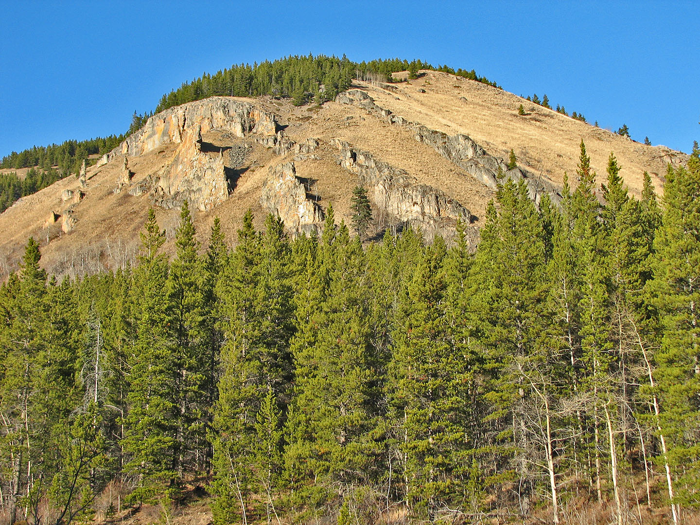
I parked about a kilometre south of Lineham Creek near a culvert and below a grassy hillside with huge rock fins. In a short time, I climbed 300 m and started traversing along the slopes, aiming for the west end of the first ridge. It was easy bushwhacking, although I managed to make enough noise to startle a rabbit. When I reached the first ridge, travel became easy, a pleasant hike on an animal trail. Just before I reached the east end, I dropped down the north side and was soon hiking up the second ridge.
The animal trails on the second ridge were even better defined than the first ridge, and I moved easily along it. Along the way I was accosted by a flock of chickadees. When I stopped to watch them, four or five flew to a nearby tree to investigate me. Hopping from branch to branch, one came particularly close and peered at me from only three feet away! I tried snapping photos, but the tiny birds didn't hold still long enough.
Eventually the trail dropped down, and I emerged on the edge of an enormous expanse of grassy hillside. Reaching this area was worthy of a trip in itself. But the dry, higher slopes beckoned so I continued.
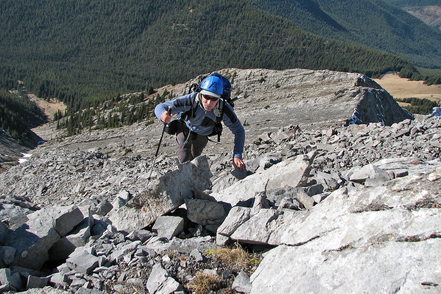
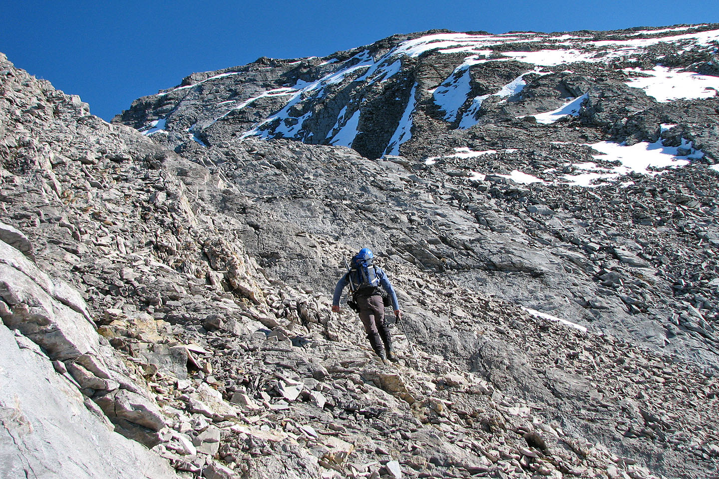
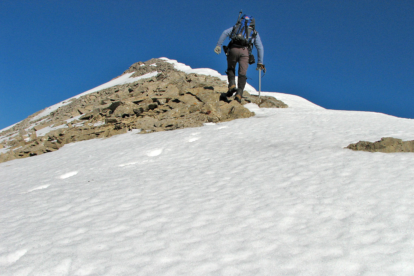
At first I stayed below the ridge crest to avoid the trees, but in retrospect it would have been better to follow the crest. Higher up, well above the treeline, the grade became steeper but no more than a moderate scramble. I encountered snow just below the summit. I was able to avoid most of it and didn't need crampons (which I hadn't brought along). Minutes later I was on the summit.
After studying the nearby peaks and snapping a few photos, I started my descent. It proceeded smoothly until I reached the south end of the second ridge. I hadn't noticed that it split into two ridges and as luck would have it, I hiked down the wrong one! It was some time before I realized my error. As a result, instead of losing 100 m between the first and second ridges, I lost 250 m! I had a miserable time regaining the elevation because of the deadfall. After that I paid more attention to where I was going and returned to the car without further incident.
View of the starting slope from the highway
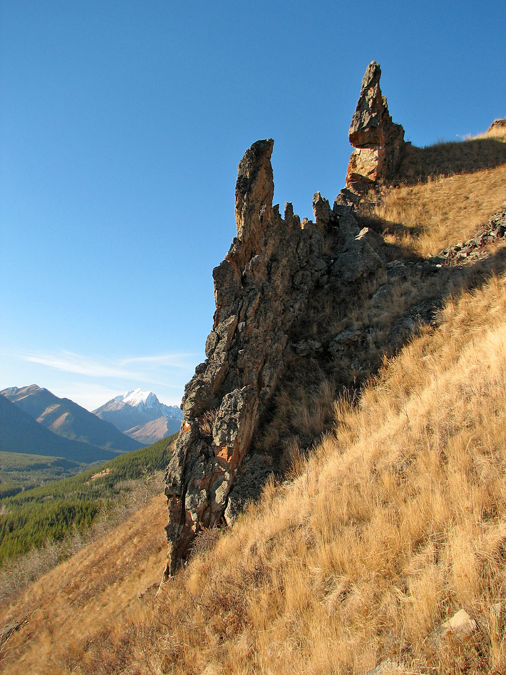
Closer look at one of the rock fins
Hiking the open slopes. Serendipity Peak is on the right, partly obscured by a forested ridge.
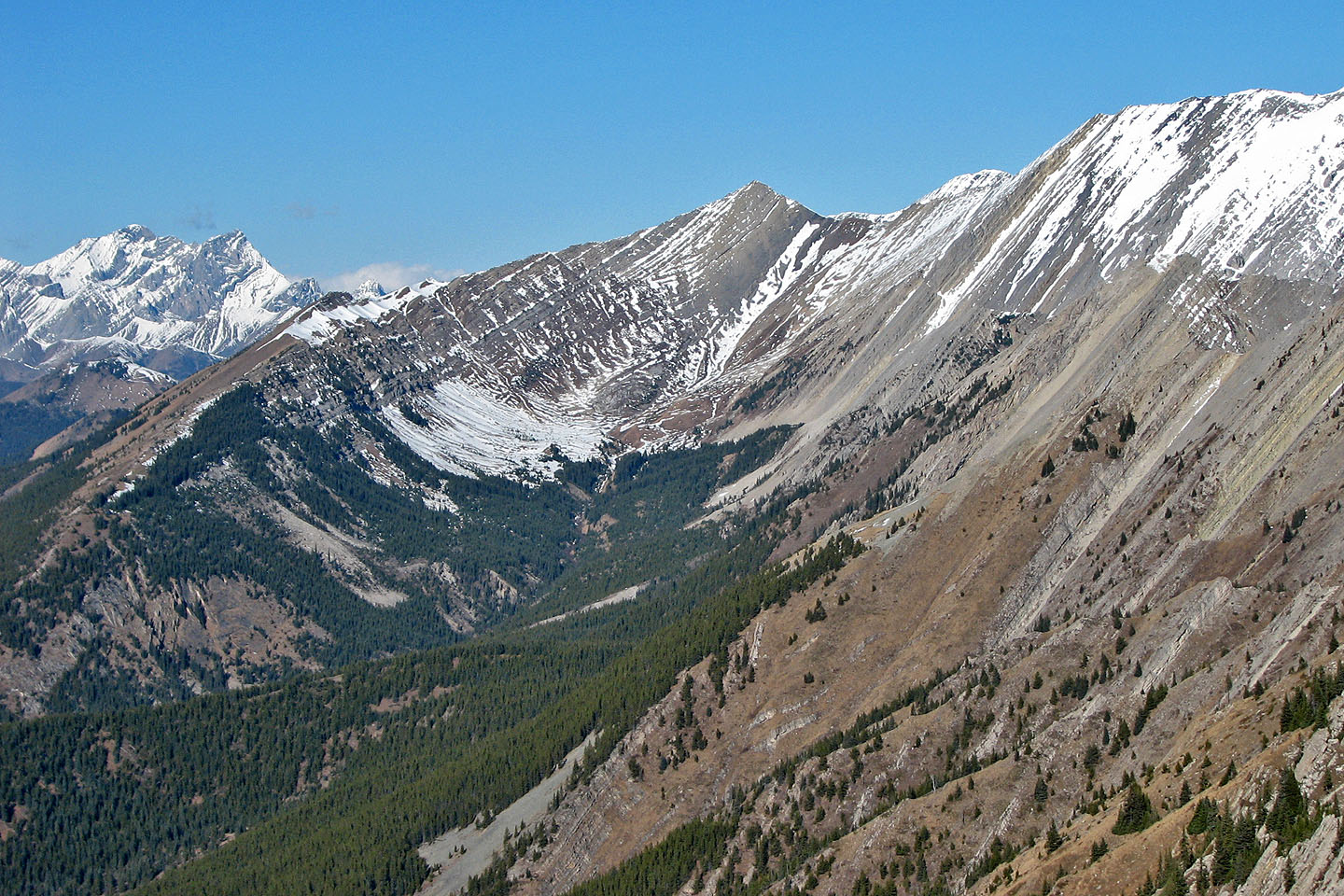
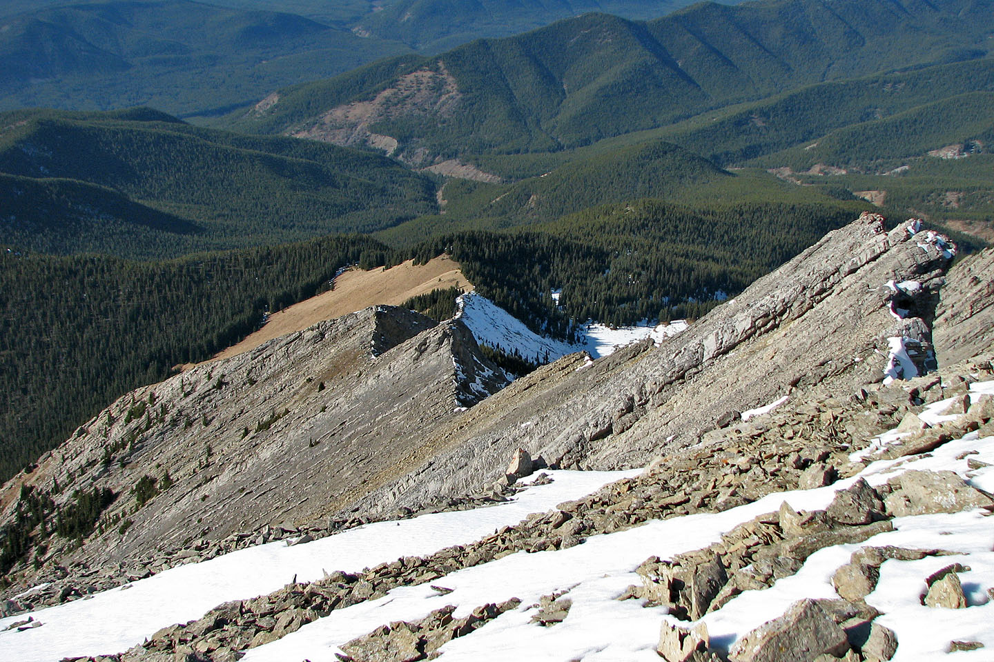
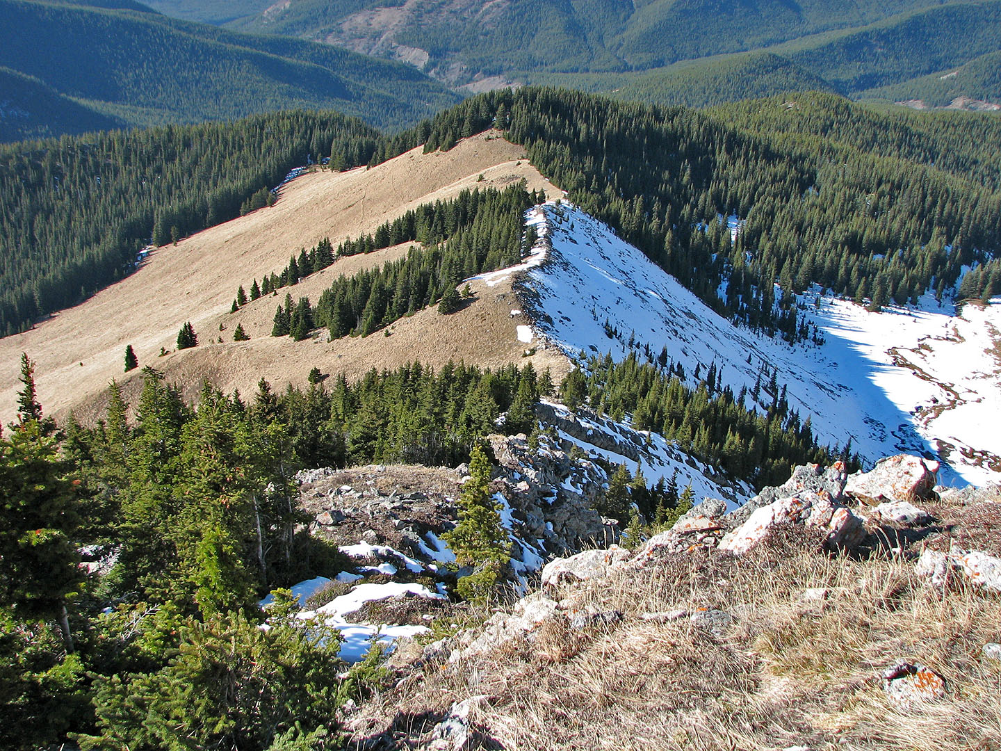
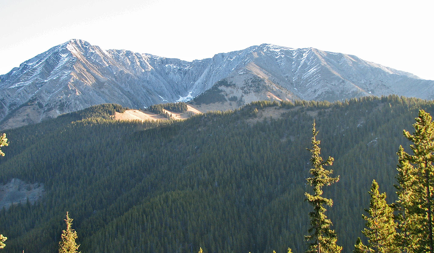 View from the first ridge shows the second ridge leading to the summit
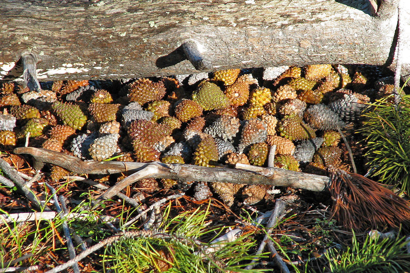
A cache that a squirrel prepared for winter
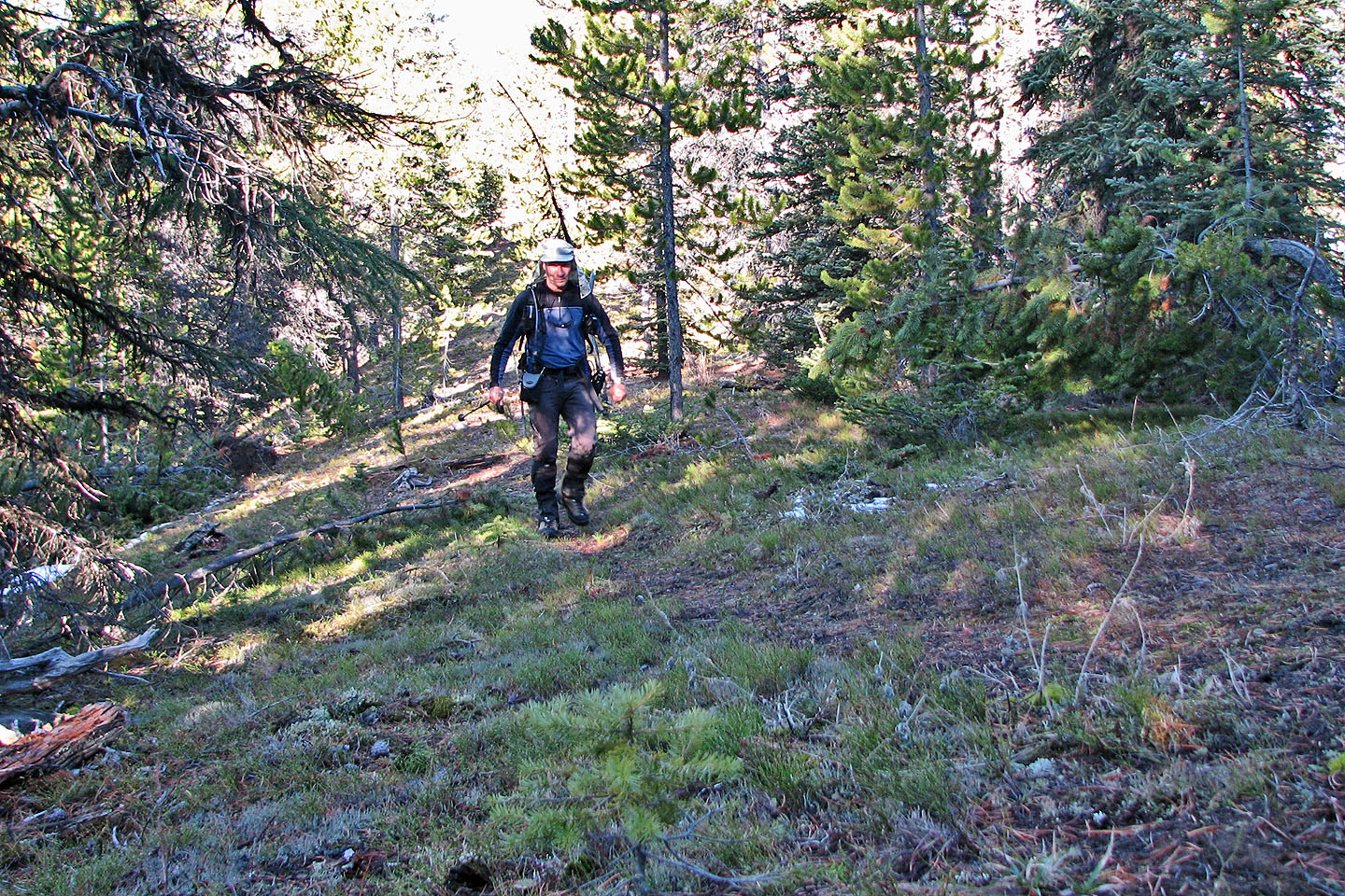
Hiking along the first ridge
View of the summit (right) from the second ridge (mouse over for a close-up).
On the ascent I stayed on the grassy slope, but on the return I stuck to the crest.
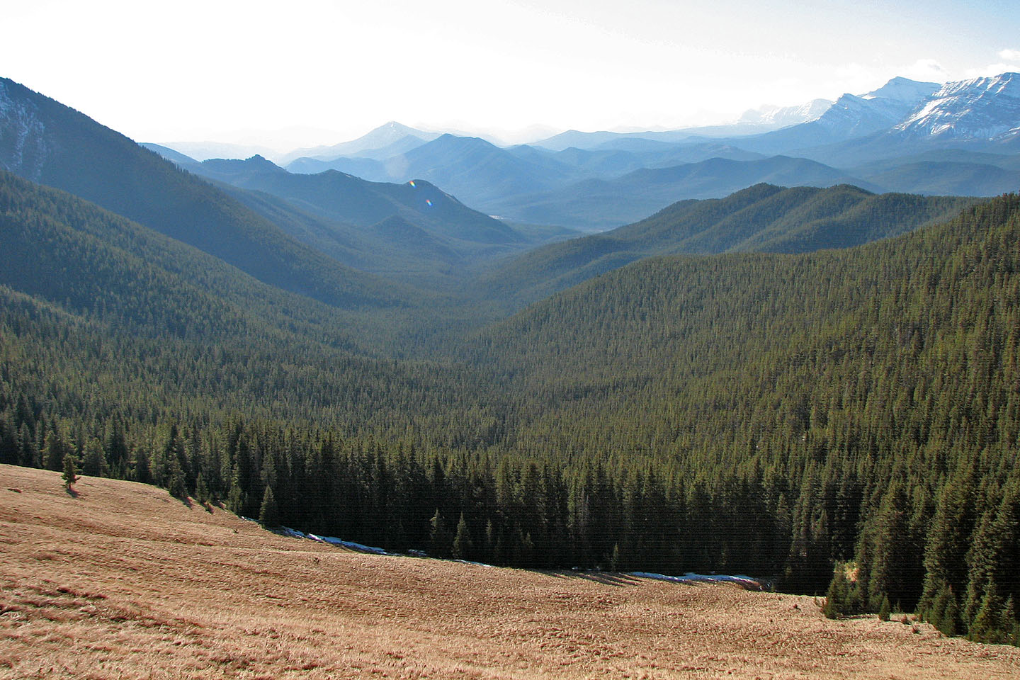
Looking south down Cat Creek Valley
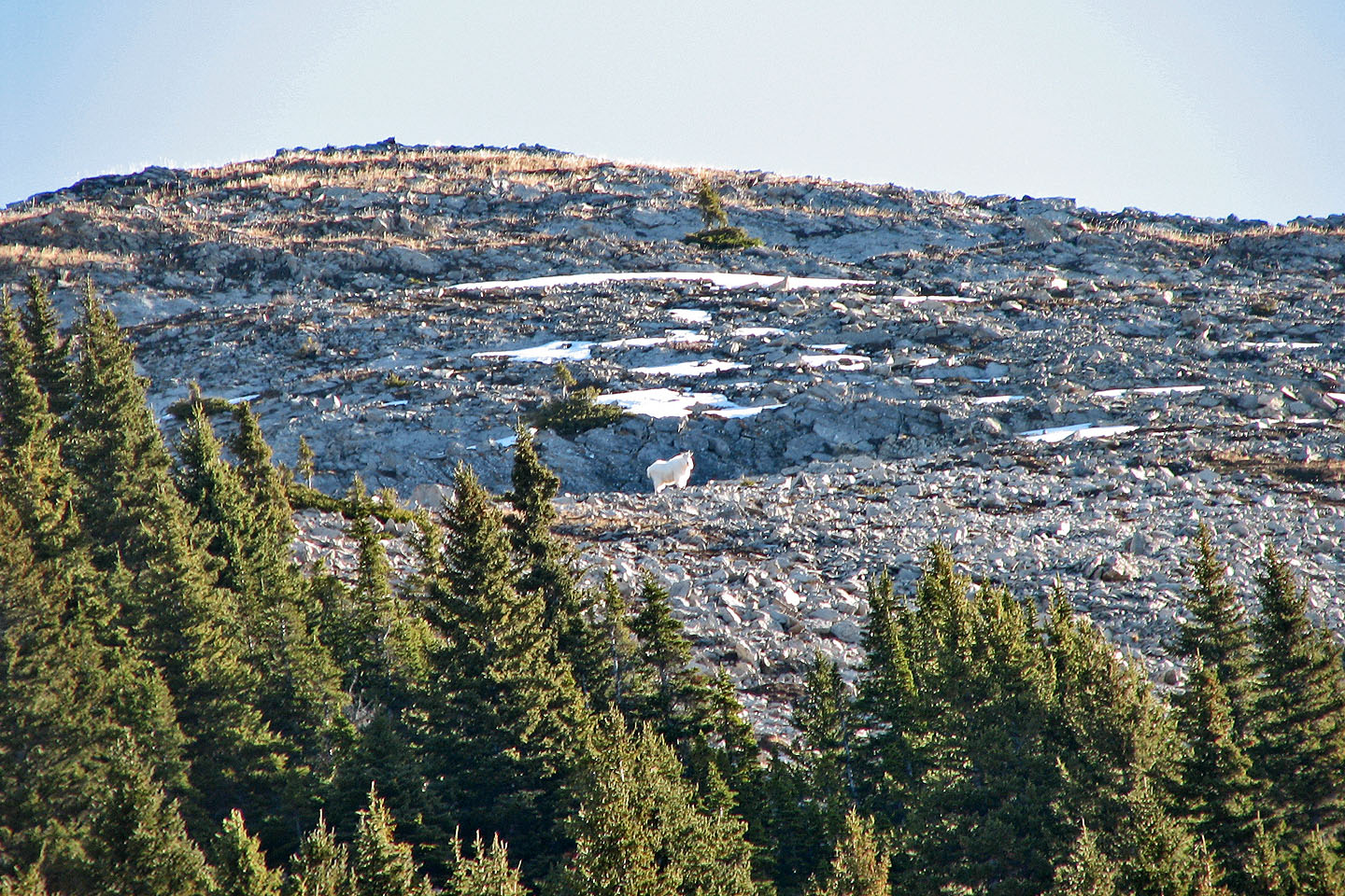
The lower slopes offer easy terrain. The mountain goat disappeared after taking this
photo (mouse over).
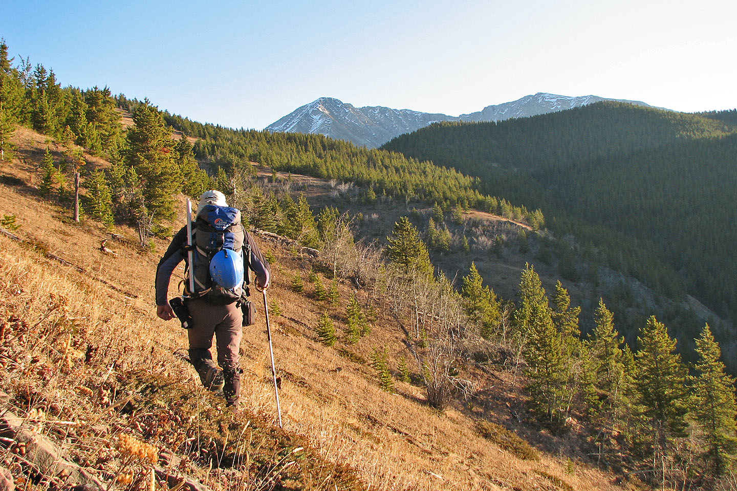
From here, I'll gain the ridge and follow it up
More easy terrain ahead
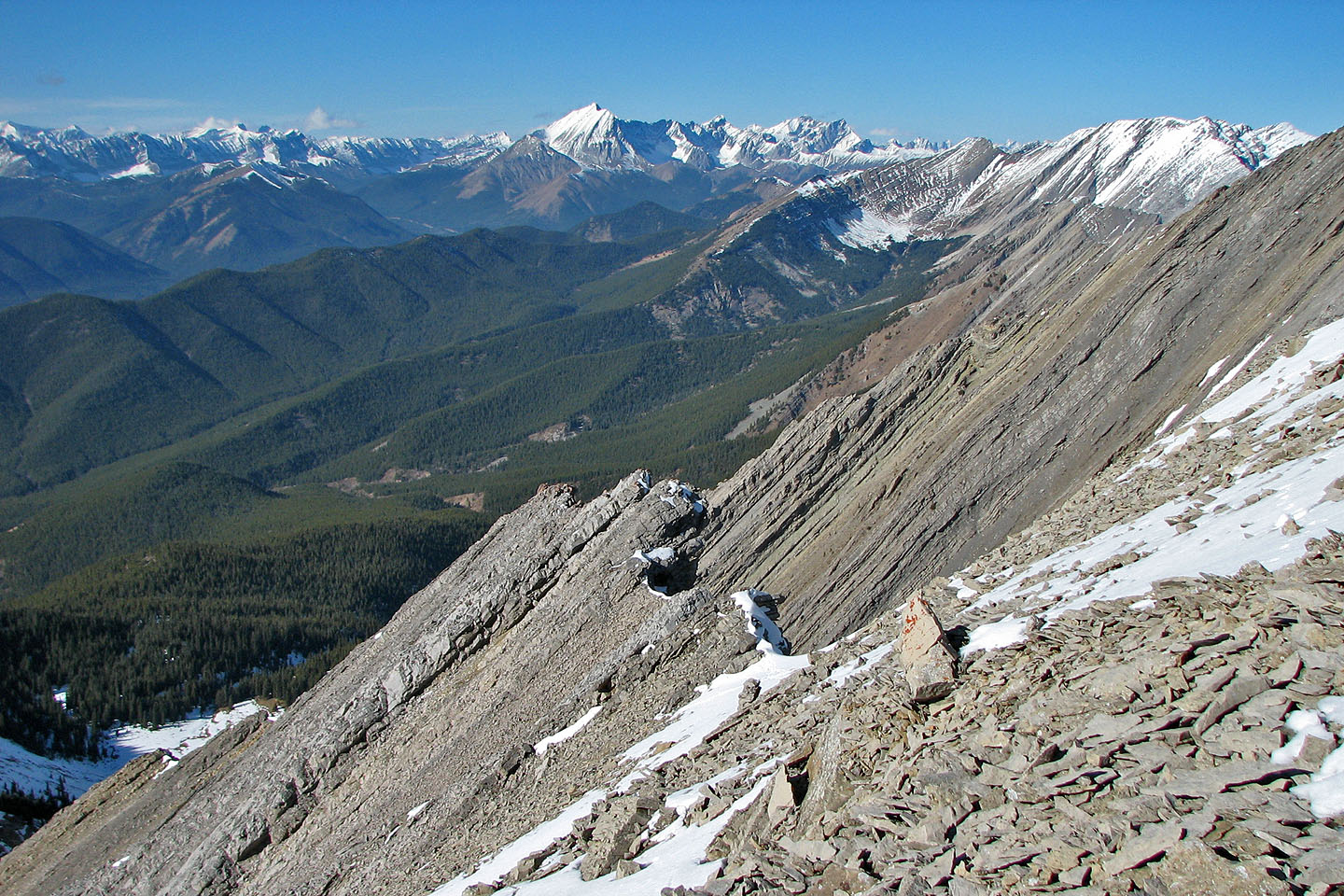
Looking northeast at Lineham Ridge
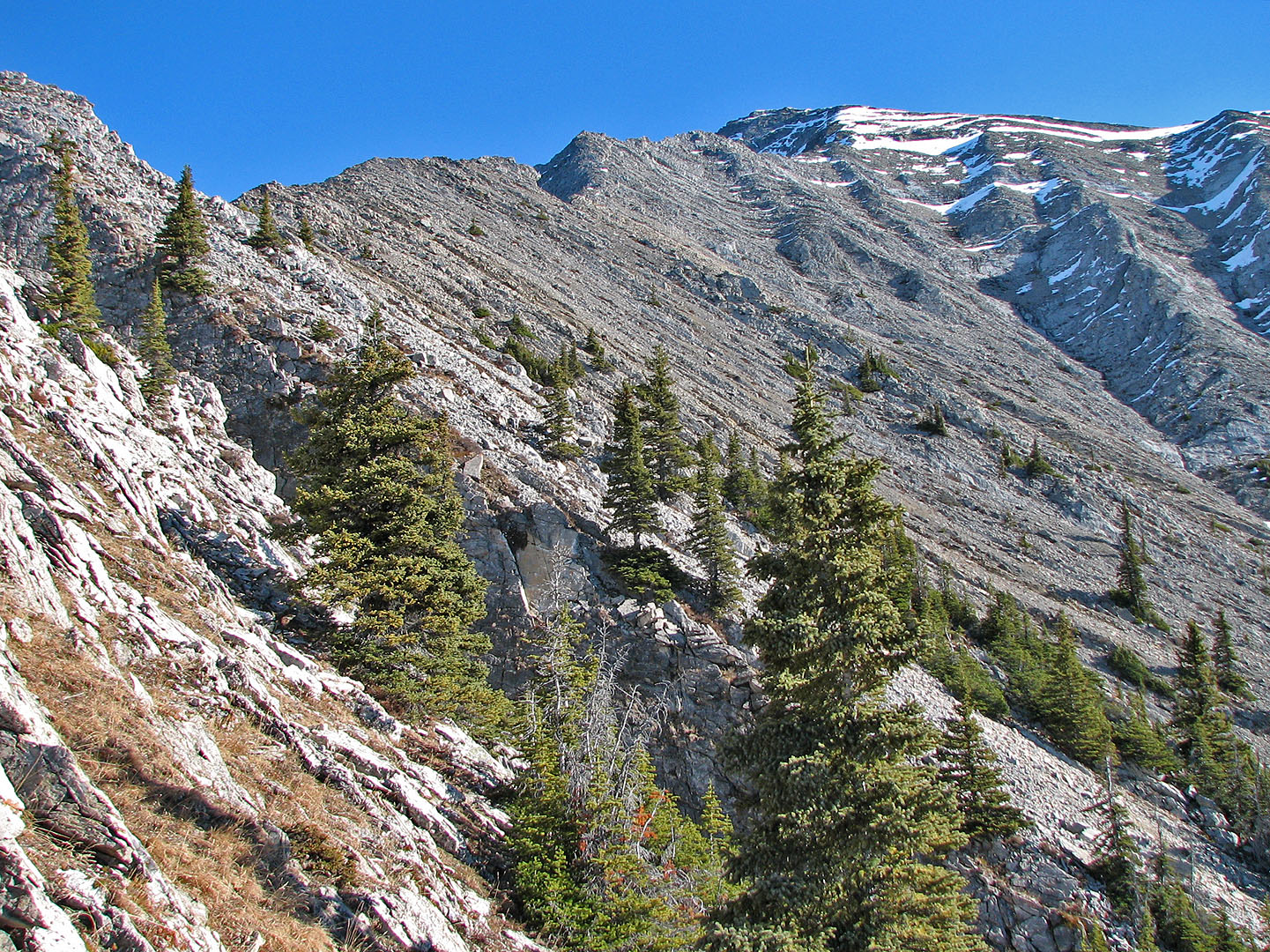
Looking back after easily negotiating this point. Elk Range in the background.
Another view looking back
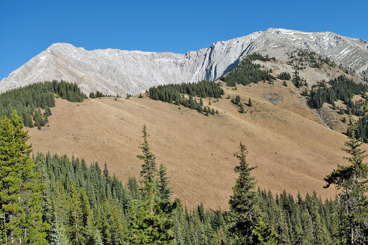
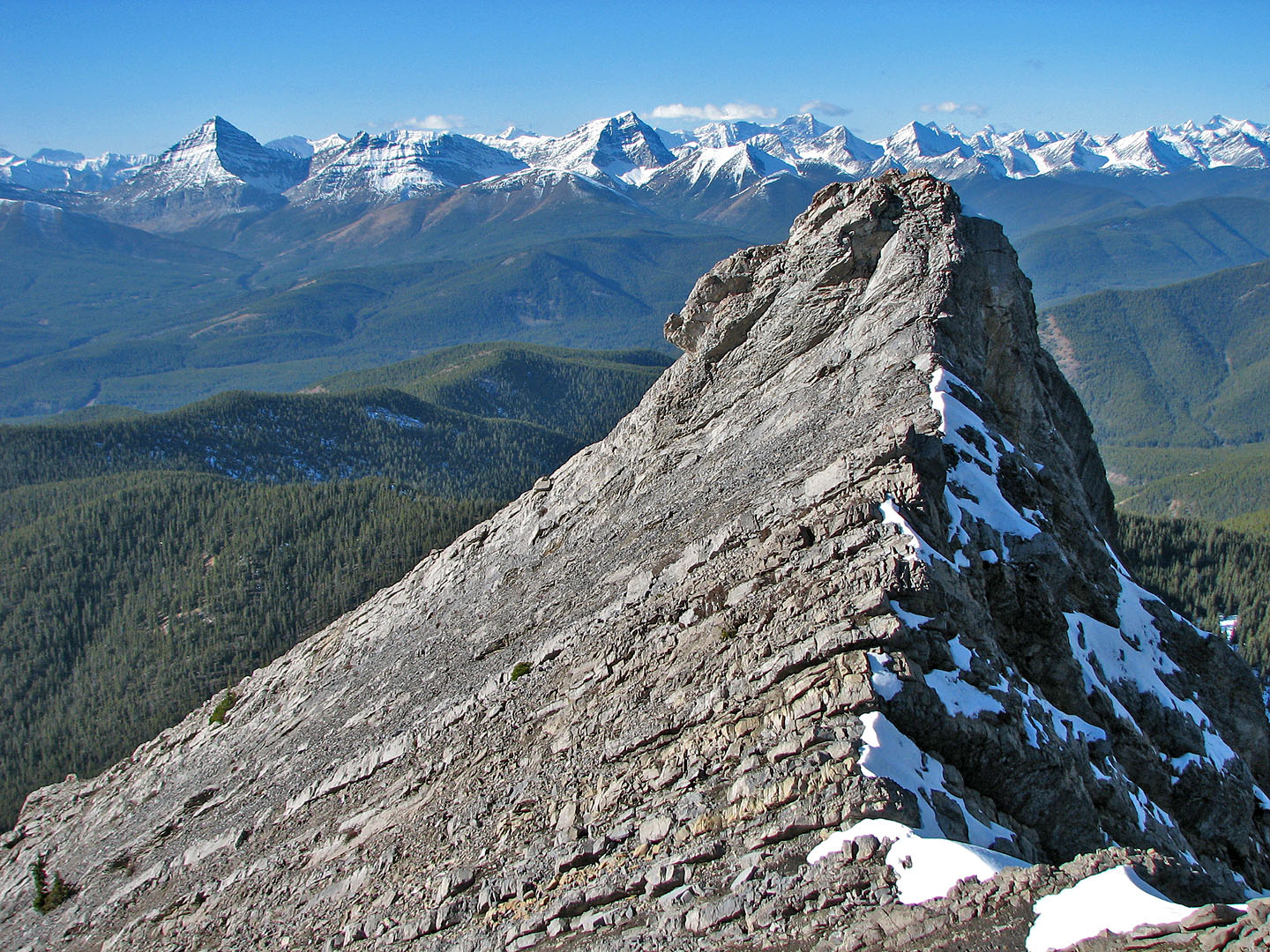
 The summit is on the far left
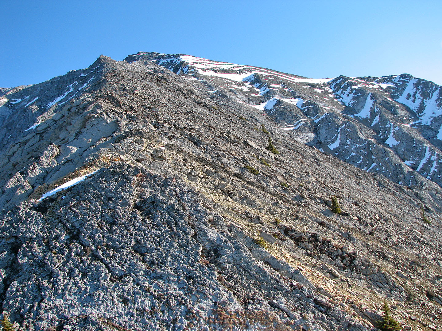
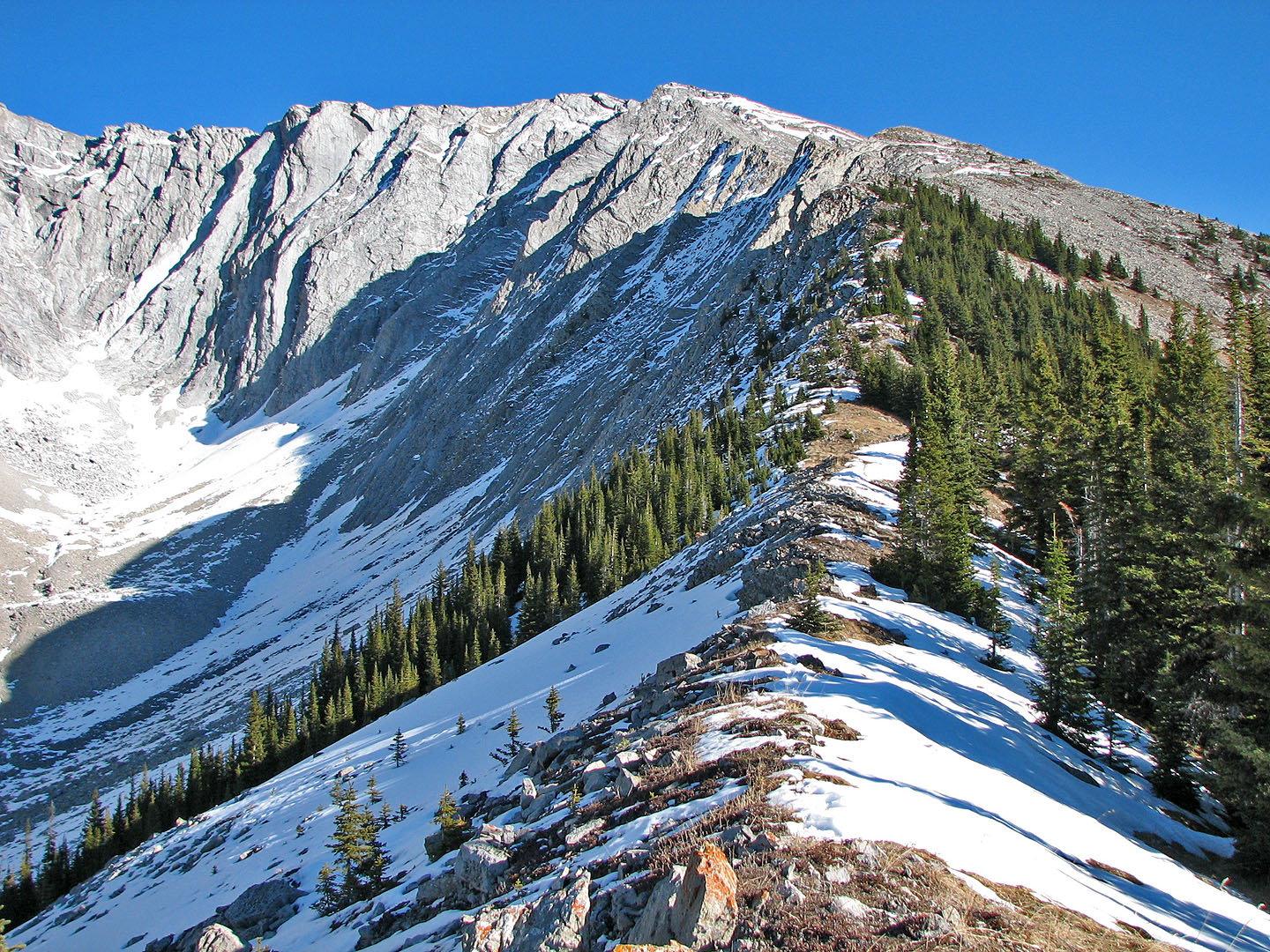
This turned out to be the false summit, but the true summit is three minutes away
Looking back along the ridge from below the false summit
View to the northeast shows Mist Mountain (mouse over)
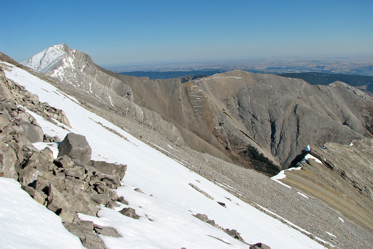
Patterson's Peak on the left. Note the switchbacks.
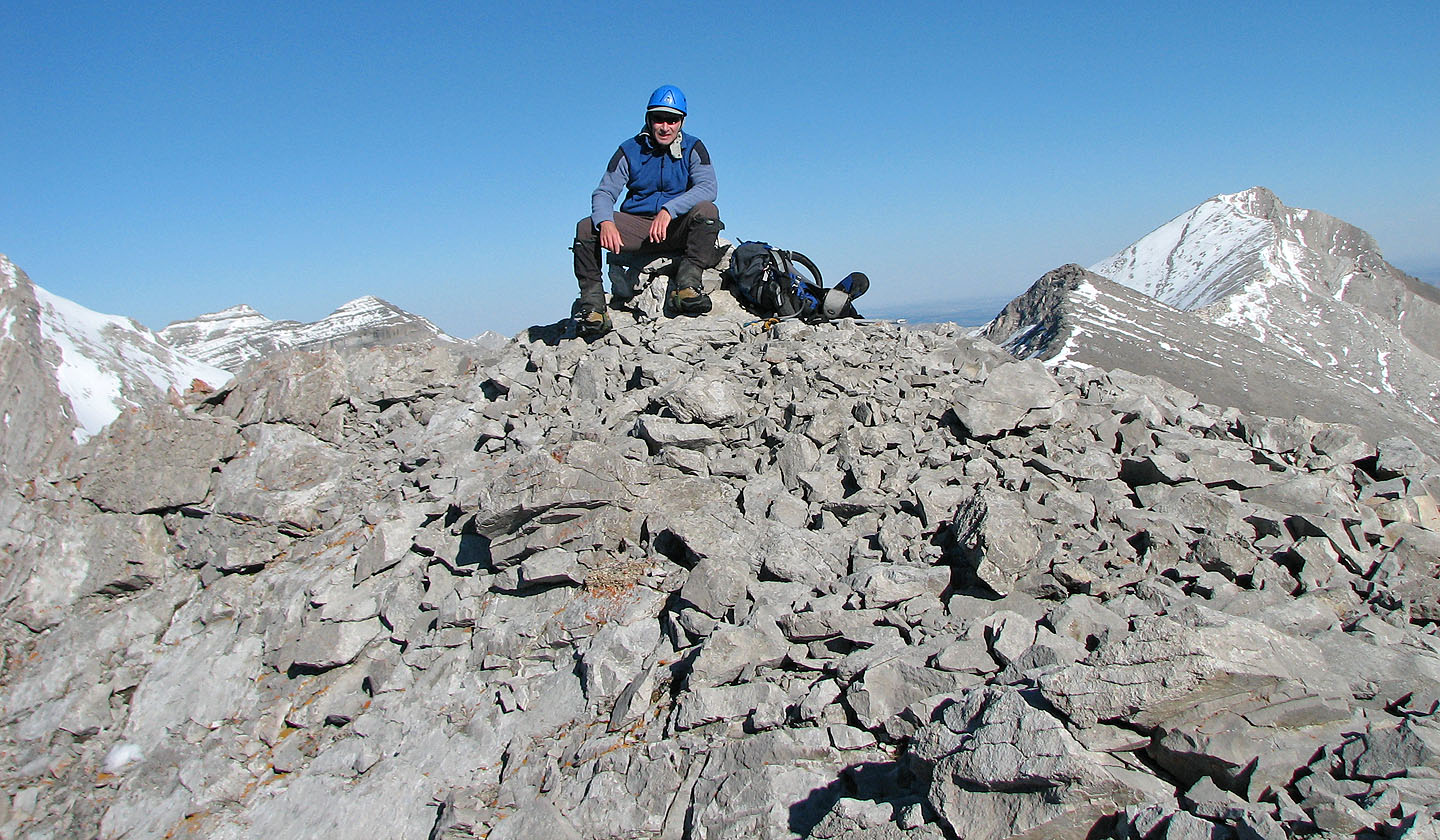
Sitting on the summit cairn
On the descent, I followed the ridge back
Looking back up the ridge. Summit is left of the centre.
82 J/7 Mount Head