bobspirko.ca | Home | Canada Trips | US Trips | Hiking | Snowshoeing | MAP | About
Stony Ridge
aka Stony Cat Ridge
Kananaskis, Alberta
December 1, 2012
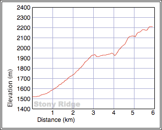
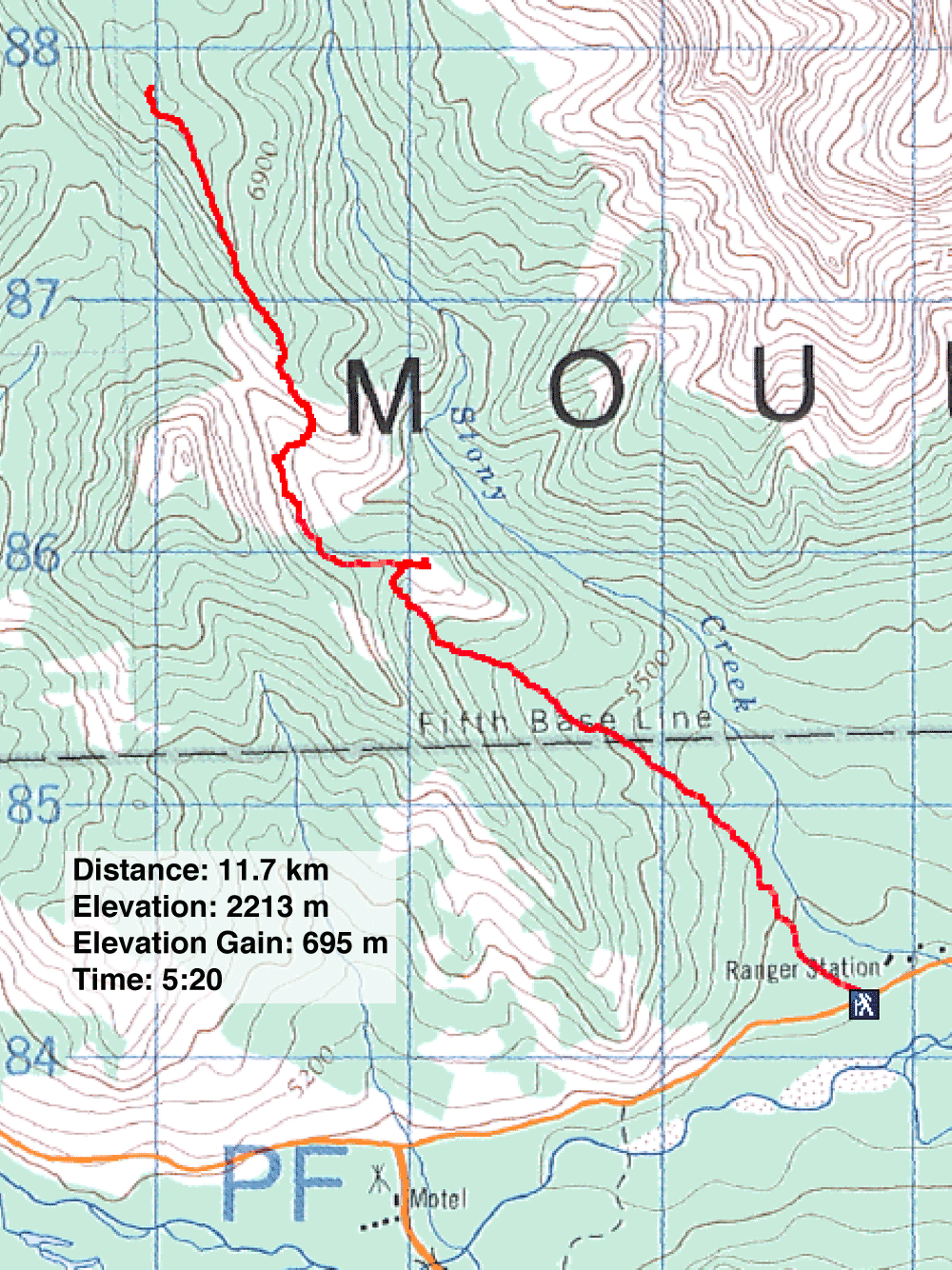
Distance: 11.7 km (7.3 mi)
Cumulative Elevation Gain: 775 m (2543 ft)
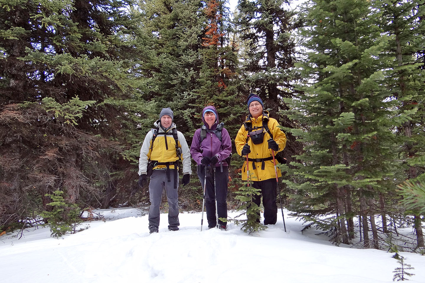
A year and a half ago Dinah, Sonny and I stood on the highest point in the Cat Creek Hills and gazed east across an abyss at a higher, unnamed ridge. It was impractical to attempt the ridge from where we were, but fortunately there's an easy way to reach it. Using a prospecting road, one can reach the pass between Junction Hill and the ridge. From near the pass, it's possible to gain the south end of the ridge and follow the crest north to the summit. The three of us got together and did just that.
I got the idea for the route from the Kananaskis Country Trail Guide. The book describes two roads – the Ford Highwood Colliers Roads – of which the lower road interested us. Trees and bushes constricted the road to a single track, and except for a couple of fallen trees, it was in good shape. After hiking for about two hours, we saw a grassy knoll on our right and were drawn to it. It provided an excellent view of the surrounding mountains, including our objective. Since Stony Creek runs parallel to it, I refer to it as Stony Ridge. (Three years later, in the 2015 edition of Kananaskis Country Trail Guide, Gillean called it Stony Cat.)
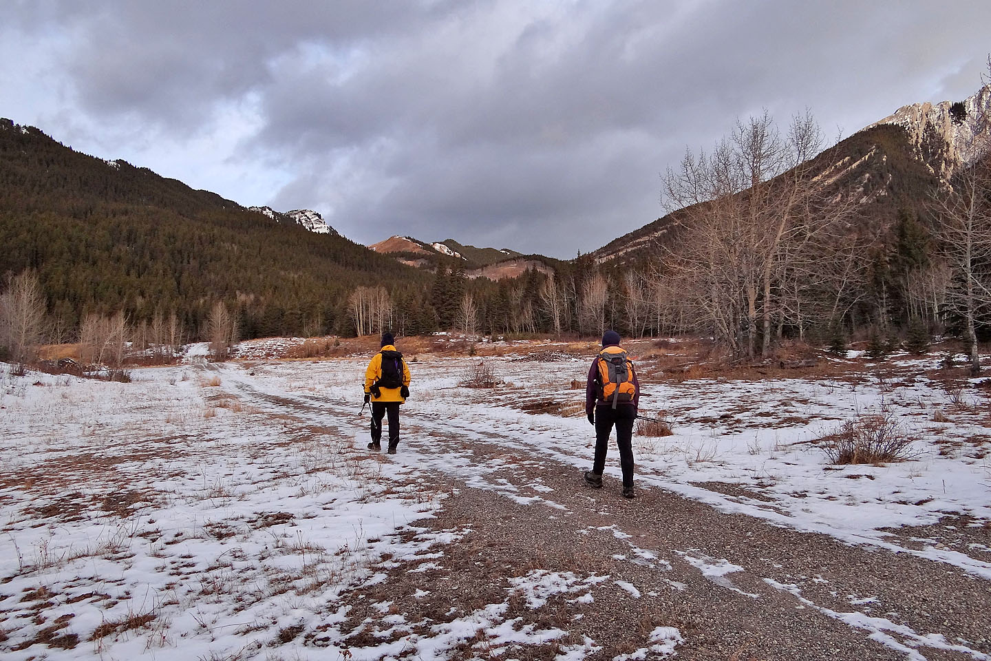
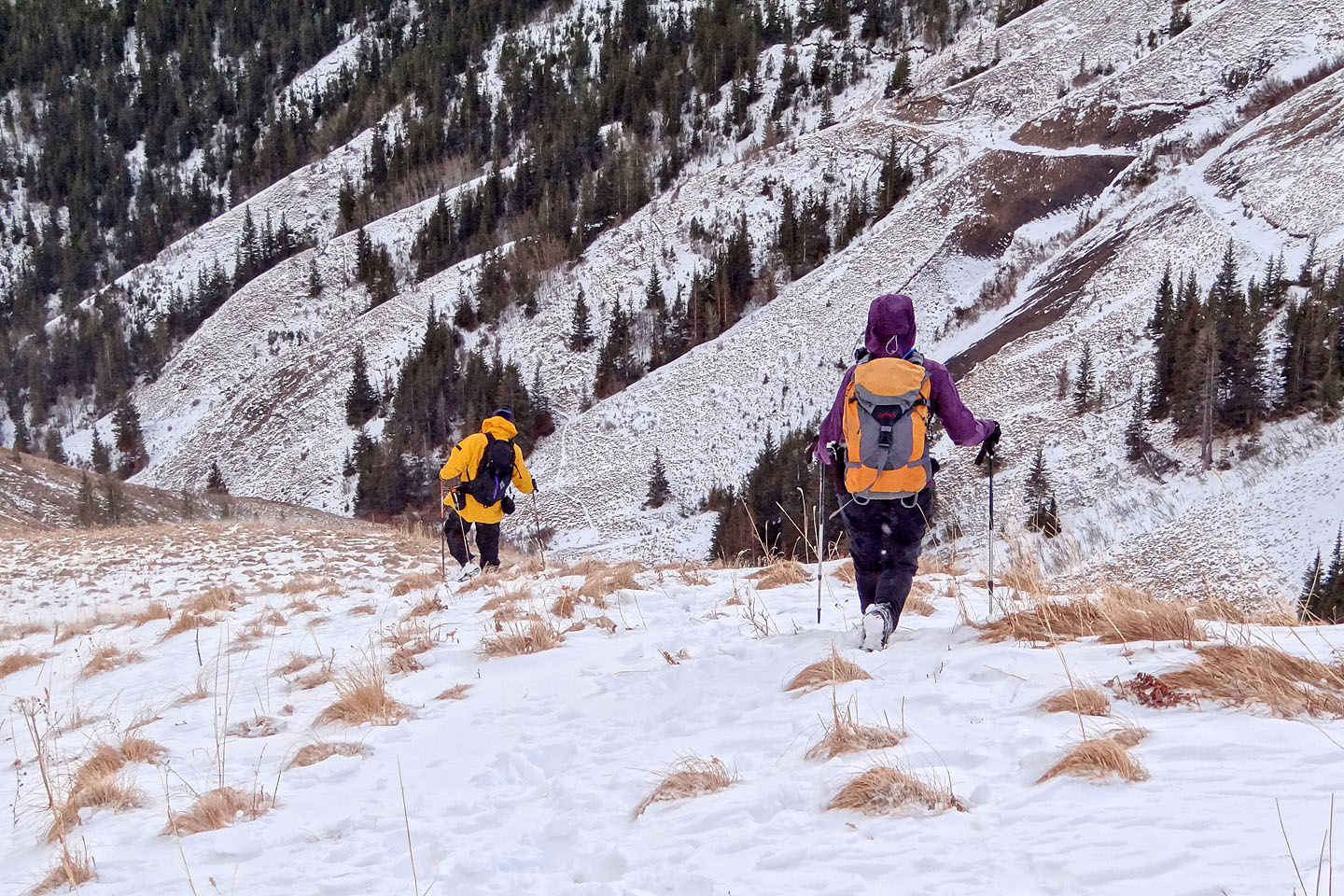
After looking around from the knoll, we dropped back onto the road and proceeded to the pass. The road winds through trees before breaking out onto an open slope. From there we saw a way up Stony Ridge. Before reaching the pass, we left the road, dropped down and ascended the ridge. The only thing separating us from the summit now was an enjoyable 1.5 km ridgewalk.
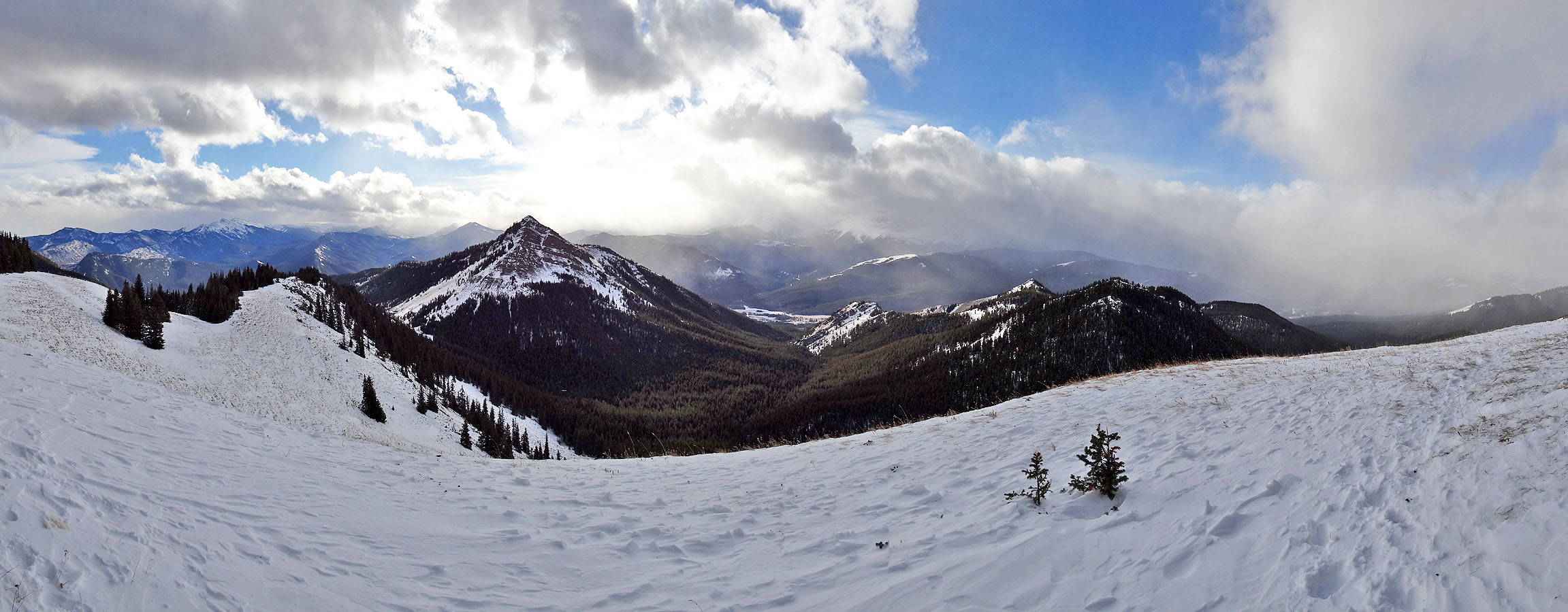
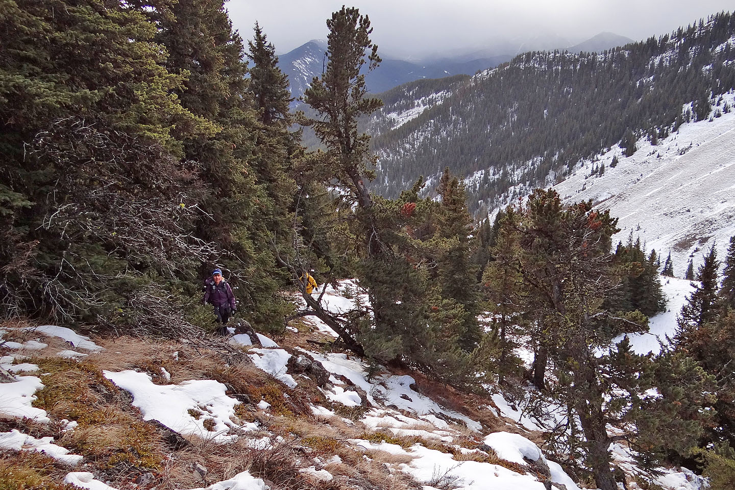
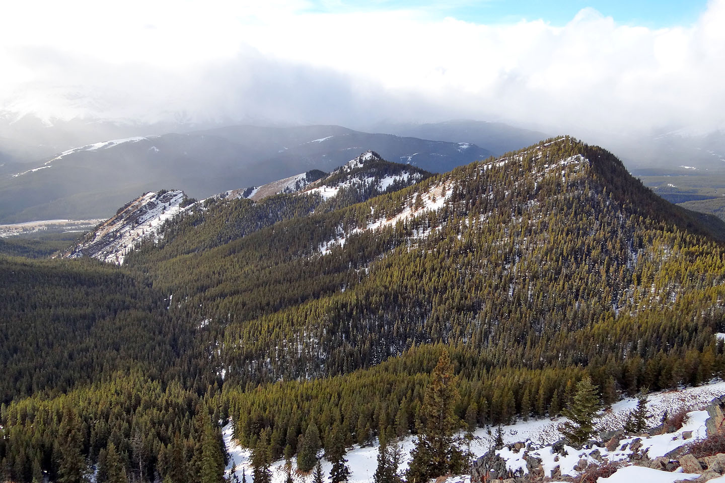
At first, trees blocked our view, but farther along they began to disappear so we could take in our surroundings. On our left, the Cat Creek Hills appeared, while behind us, Junction Hill rose up like a ship's prow. But on our right, trees lined the ridge and prevented a clear view of Holy Cross Mountain. Ahead, grass competed with trees for the round summit of Stony Ridge. We prefer a summit open to the sky, of course, but sadly, the grass was losing ground, and the forest capped the top. However, we weren't able to ascertain that until we actually stood on it. We didn't stay long and returned the same way.
With ever-changing scenery along the way, Stony Ridge provides a delightful hike, even late in the season. If the ridge had an official name, I think it would become popular.
KML and GPX Tracks
Sonny's Trip Report
Starting up the road. The grassy knoll is above Sonny. The summit of Stony Ridge is well in the background,
the tiny bump with two snow patches.
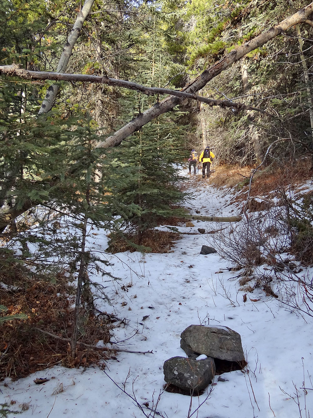
The trail is an overgrown road
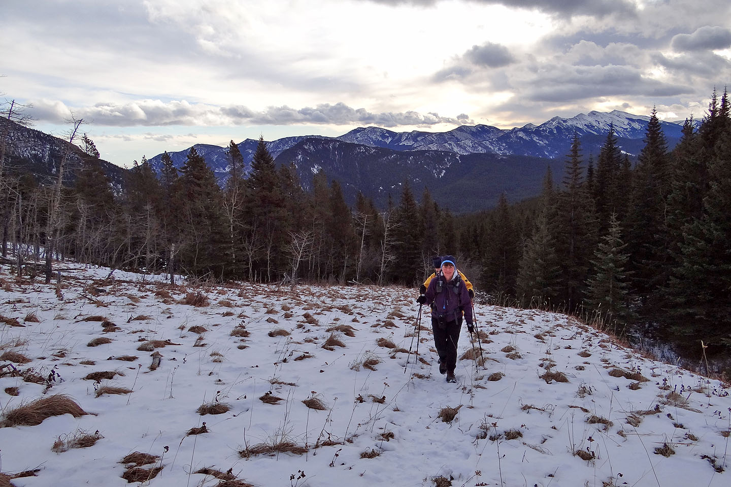
The trail passes through a meadow
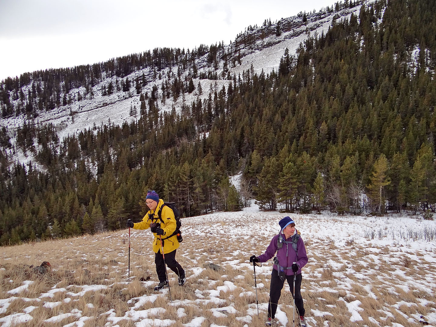
We left the trail to hike up the knoll
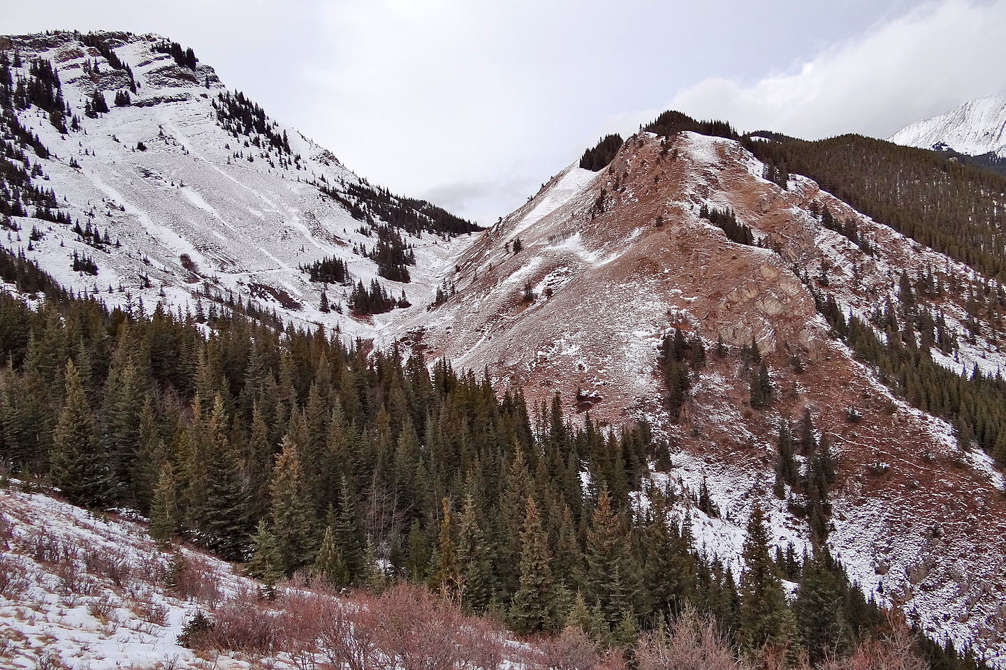
Looking southeast. Zephyr Creek Hills left, in the background
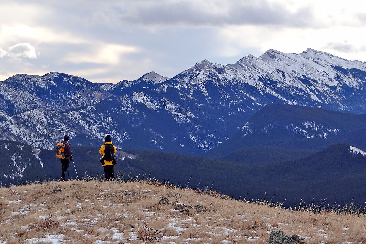
Junction Hill and Stony Ridge
The road runs to West Stony Pass, but we'll leave it well before we reach the pass
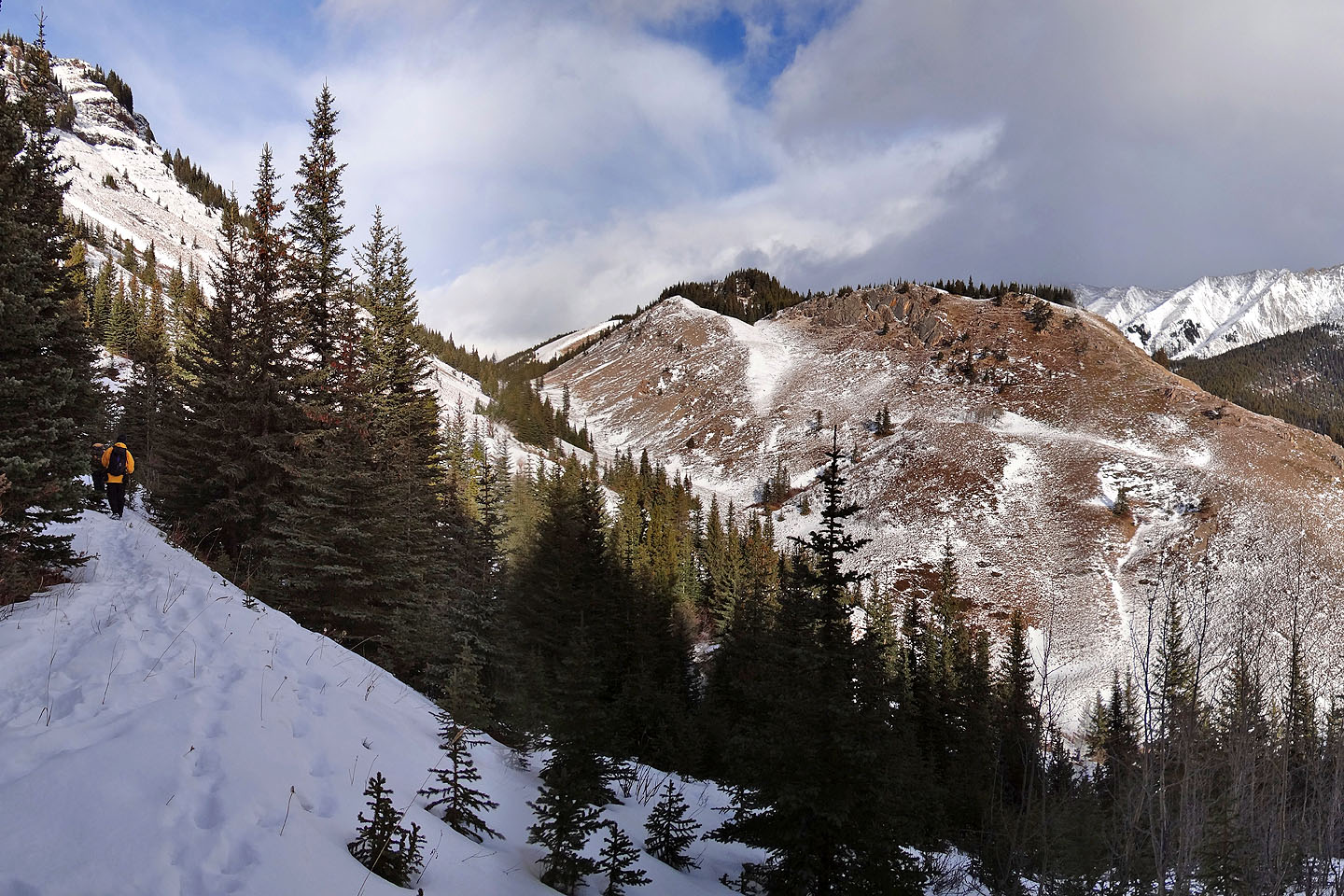
Back on the road, we made our way to Stony Ridge
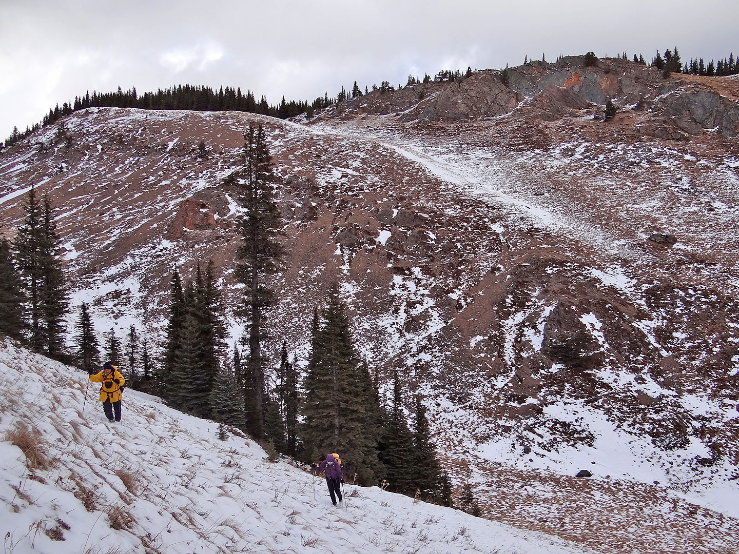
We'll soon drop down and head for the snow-covered ramp above Dinah
Looking back down the road
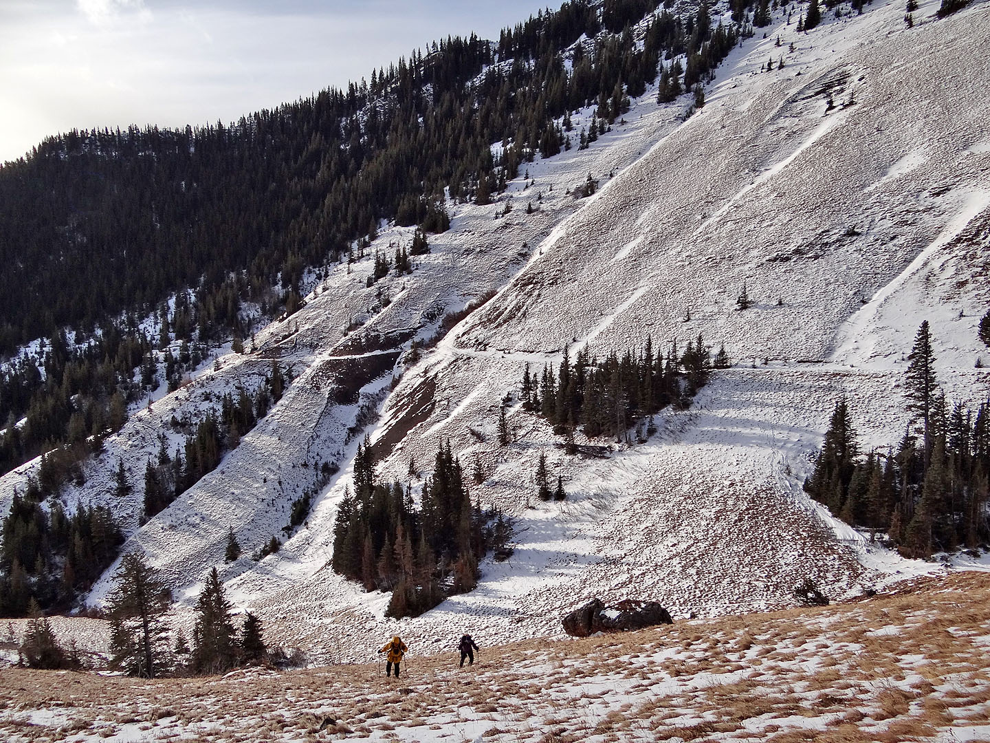
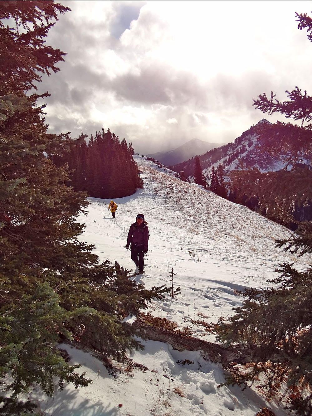
Starting up the ramp
On the ramp (mouse over to look back)
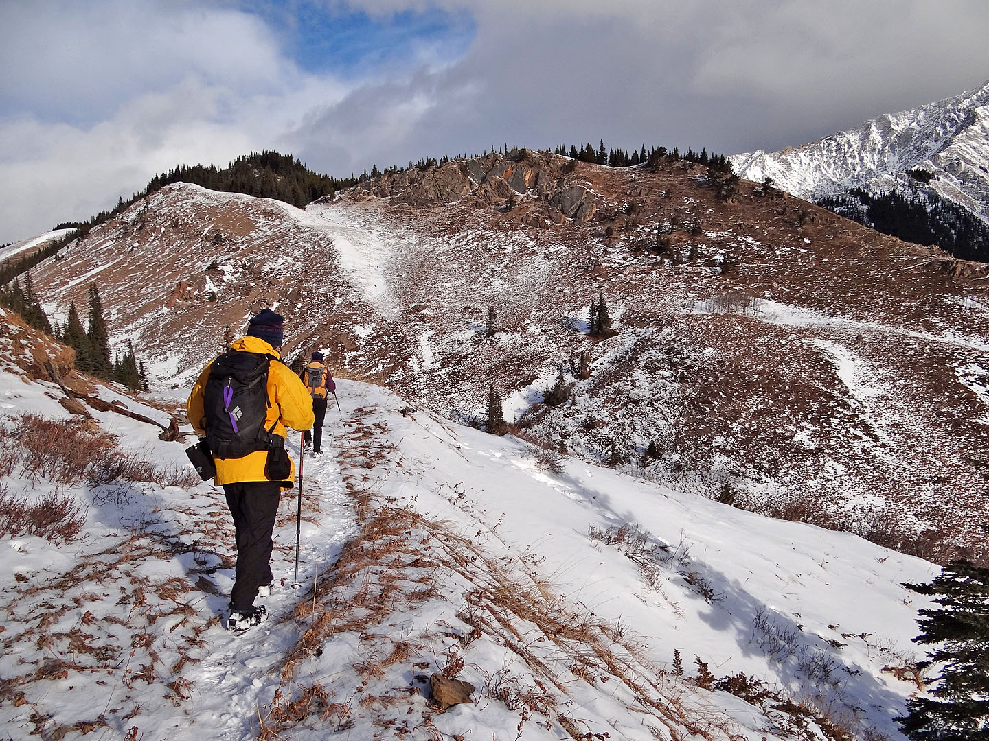
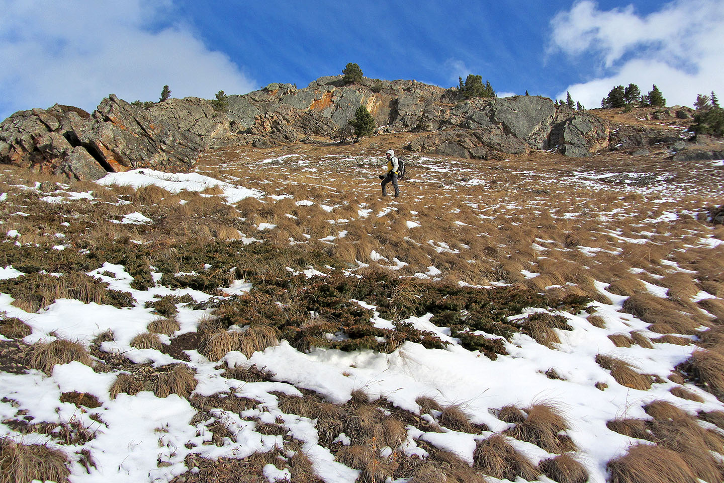
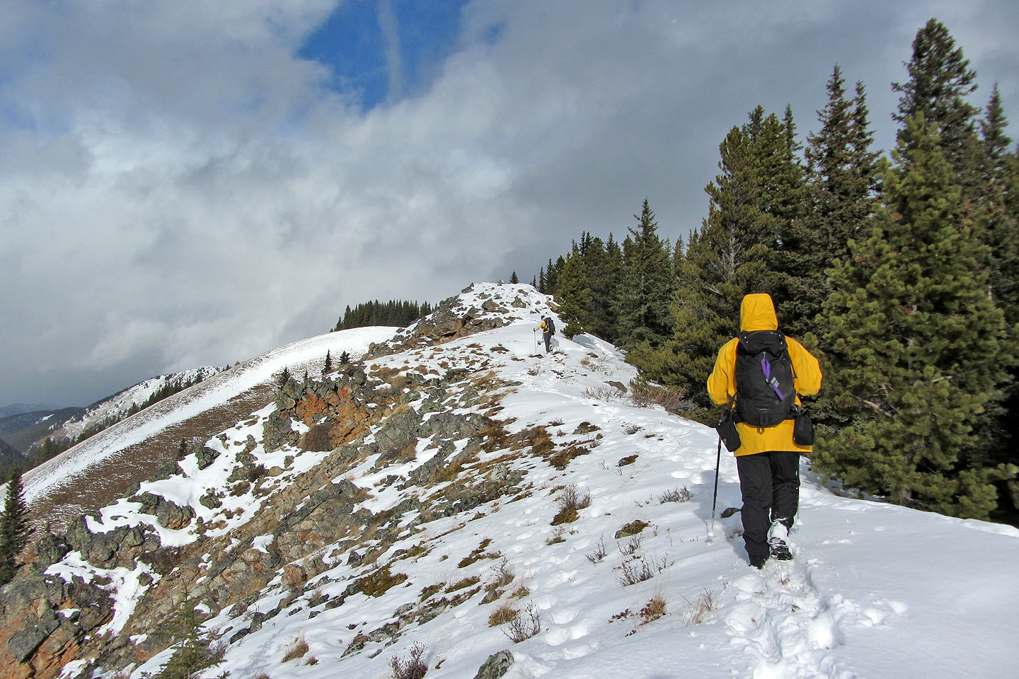
Gaining the ridge crest
Looking back
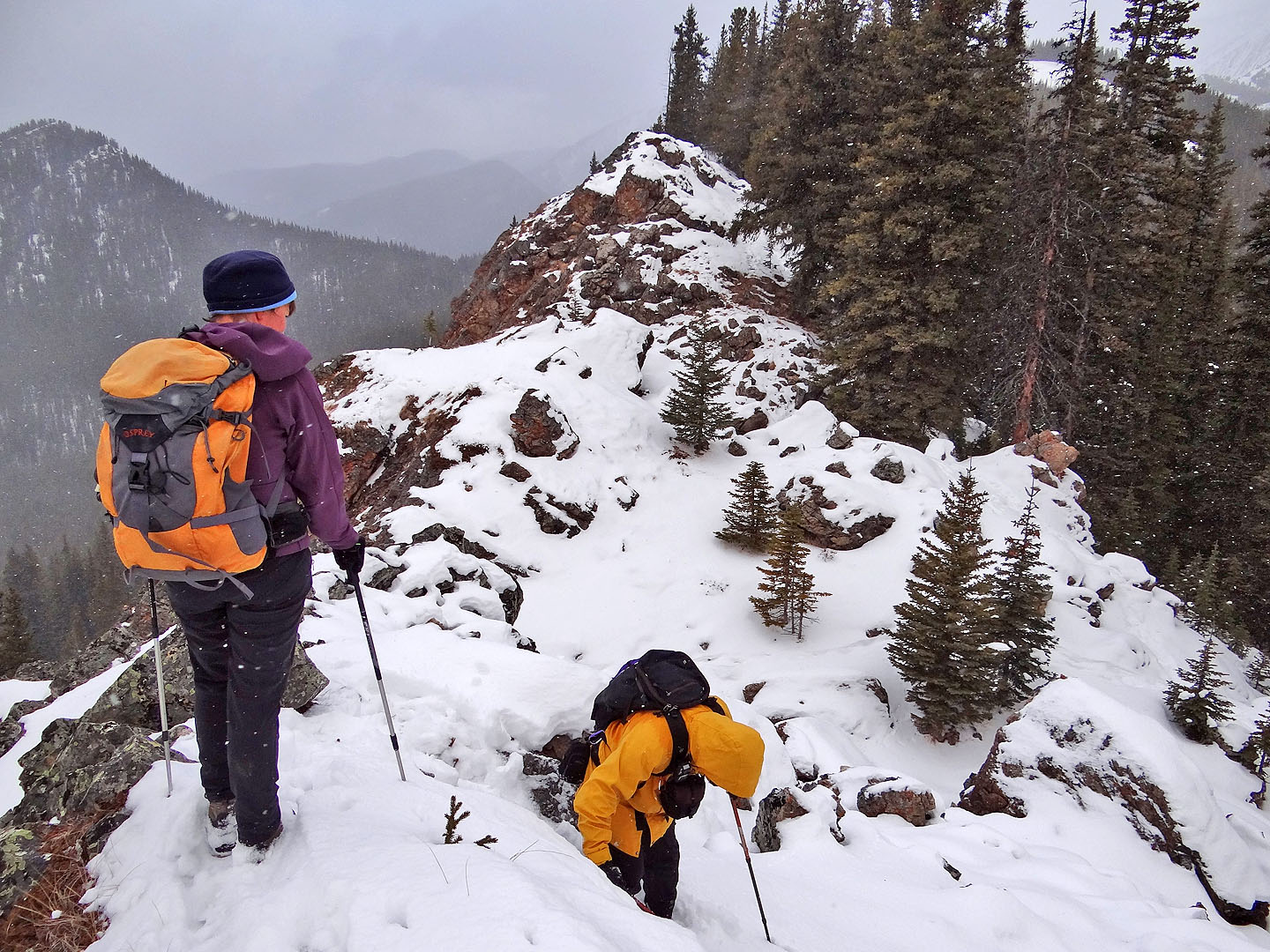
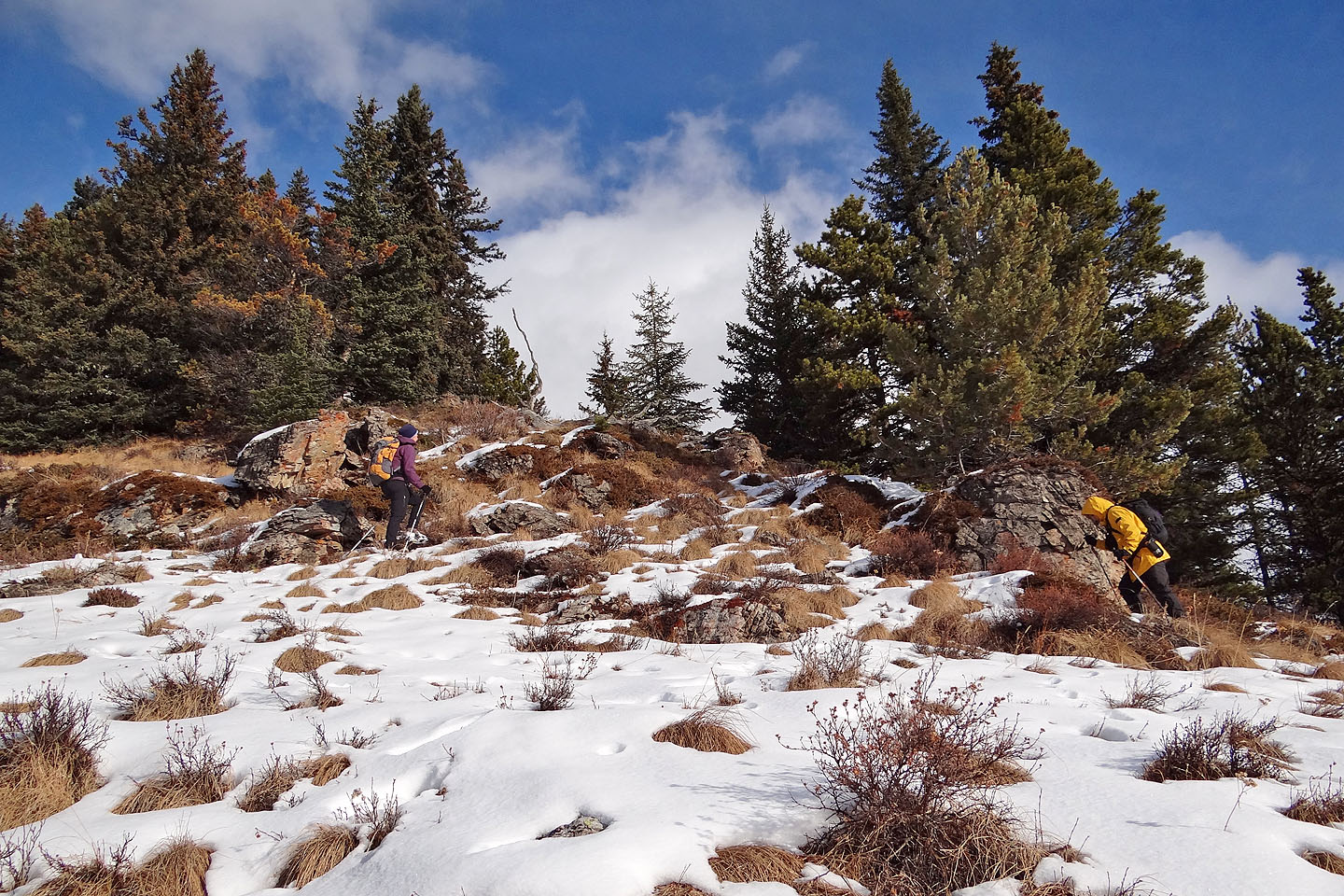
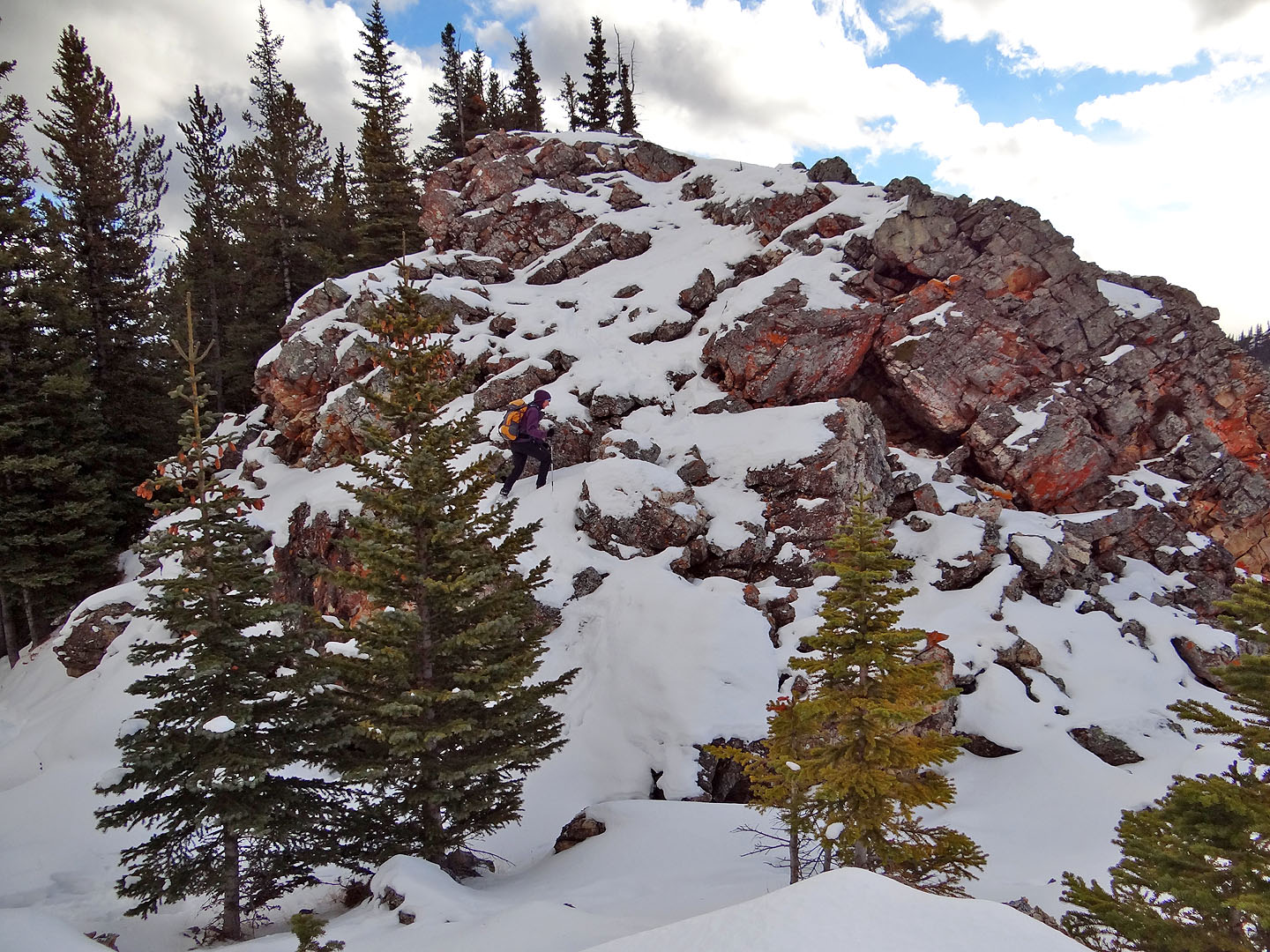
We soon came across this stony section on the ridge
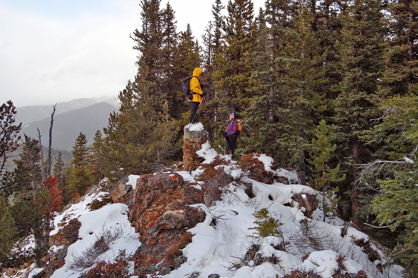
Dinah coaxes Sonny off his pedestal
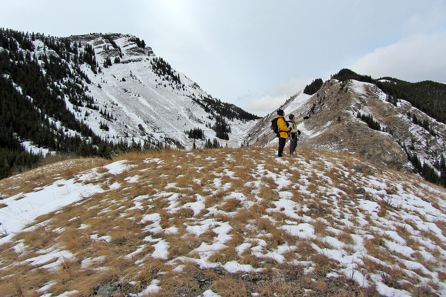
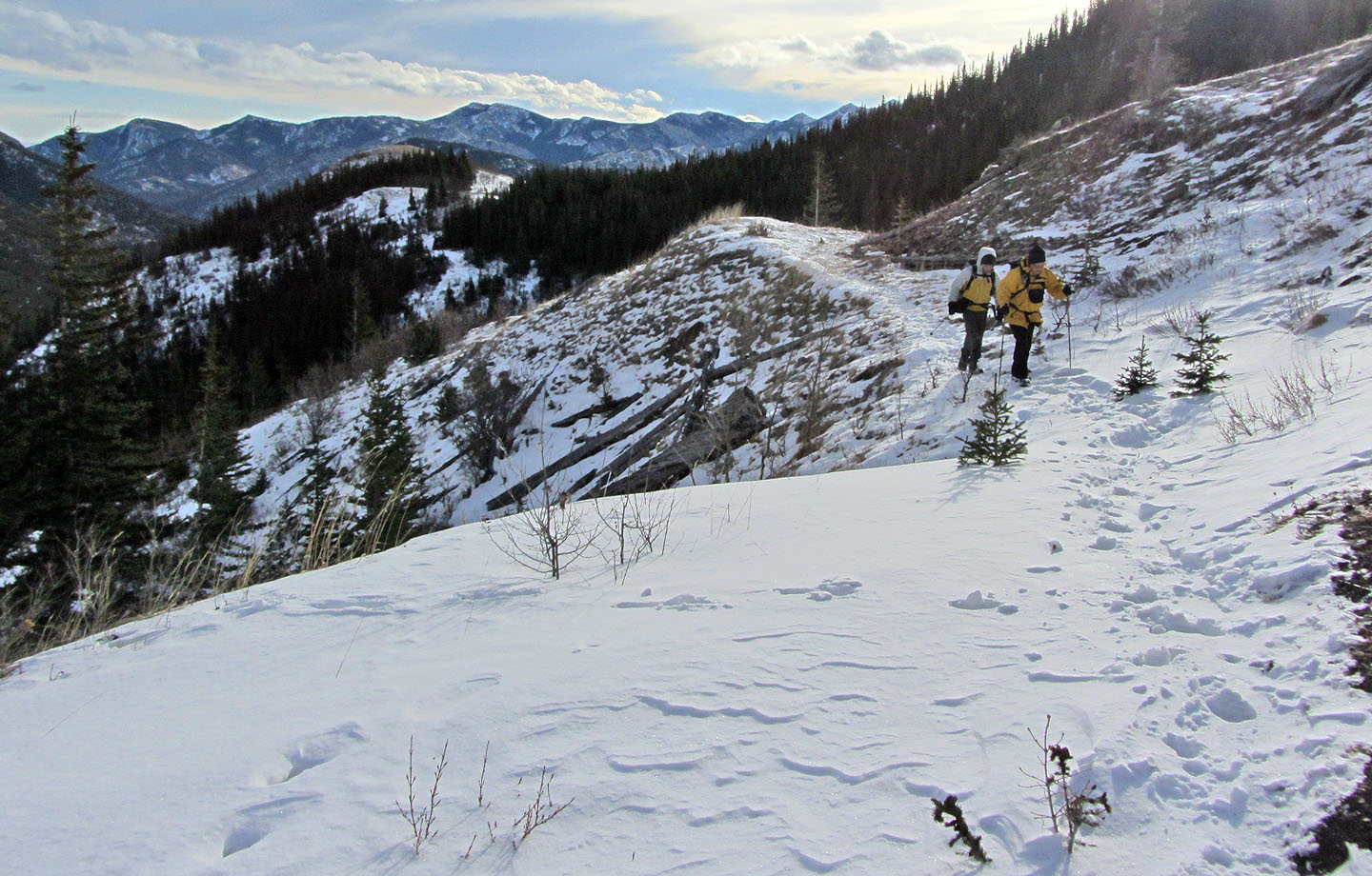
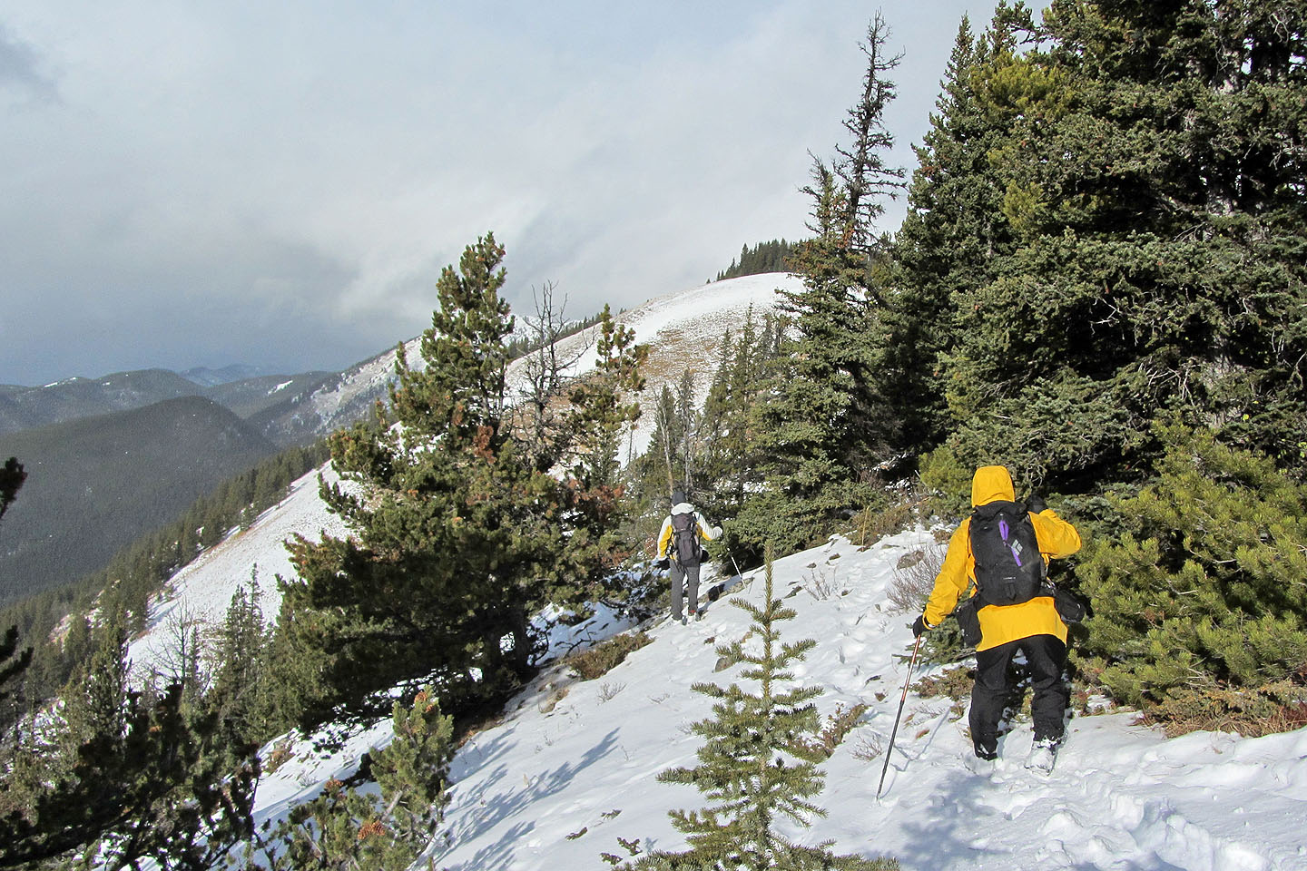
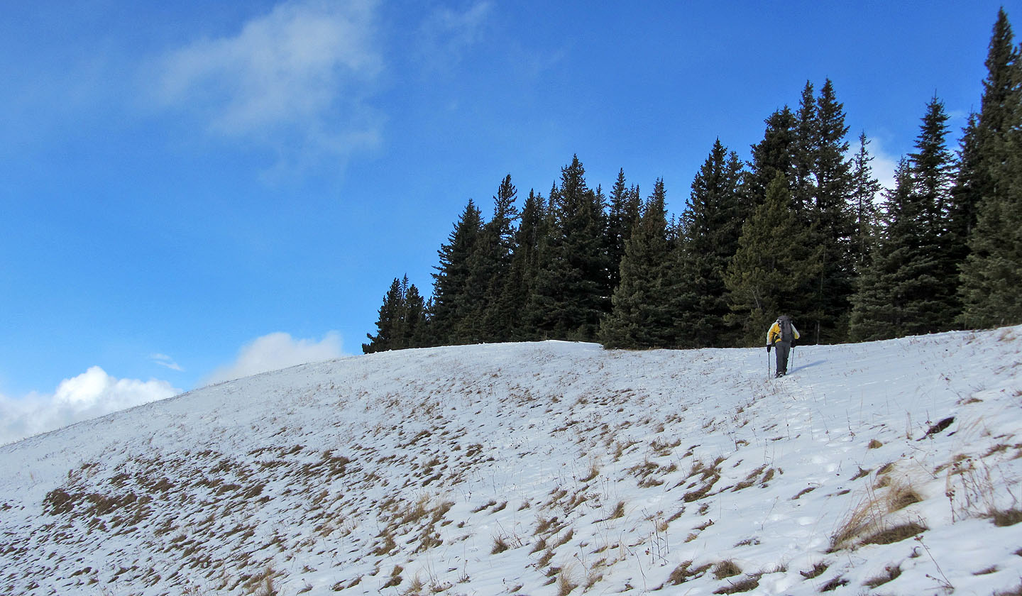
The west side of the ridge opens up and we can see Junction Hill behind us
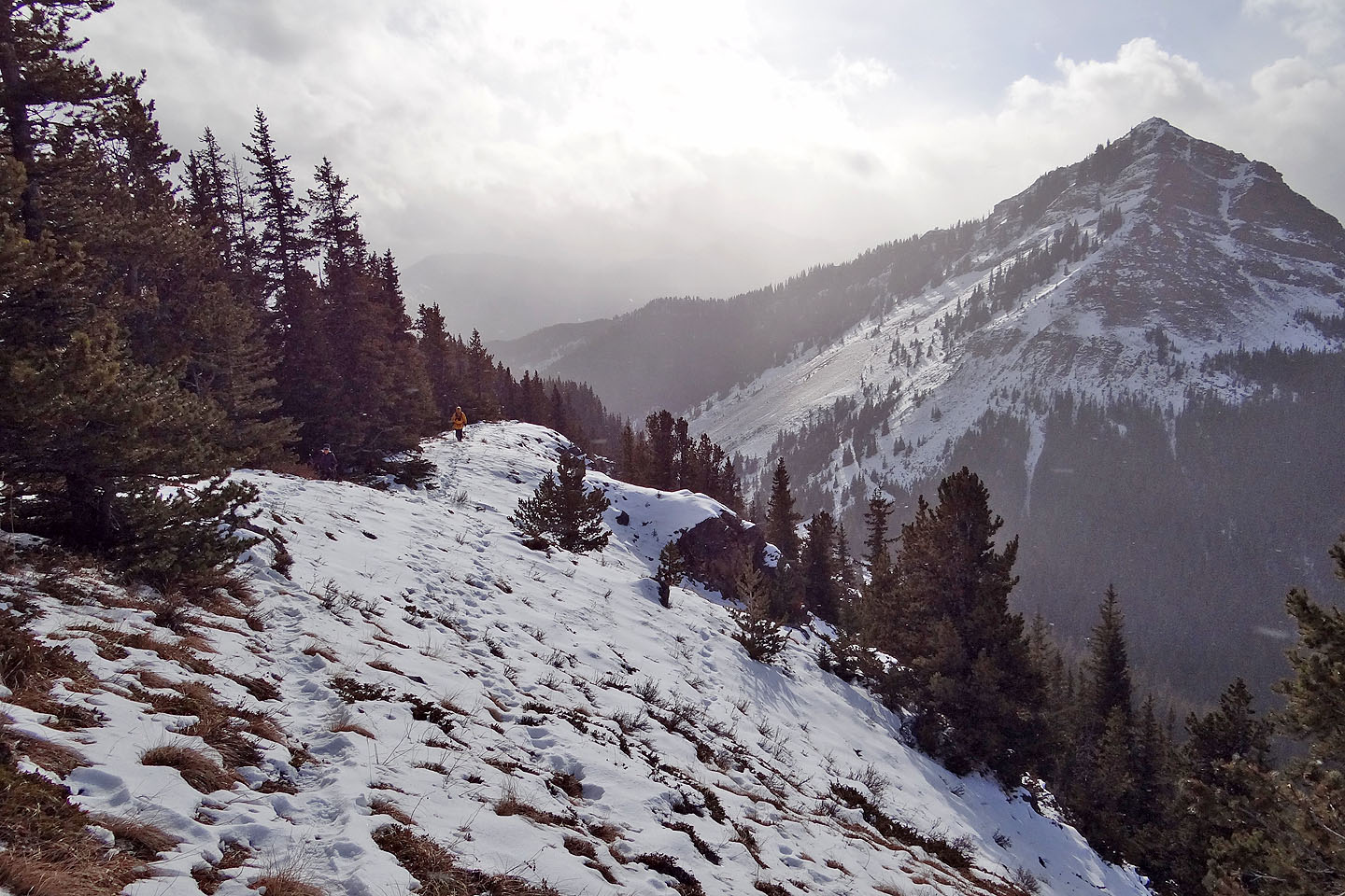
The summit of Stony is ahead
A rocky section before the summit (mouse over to look back)
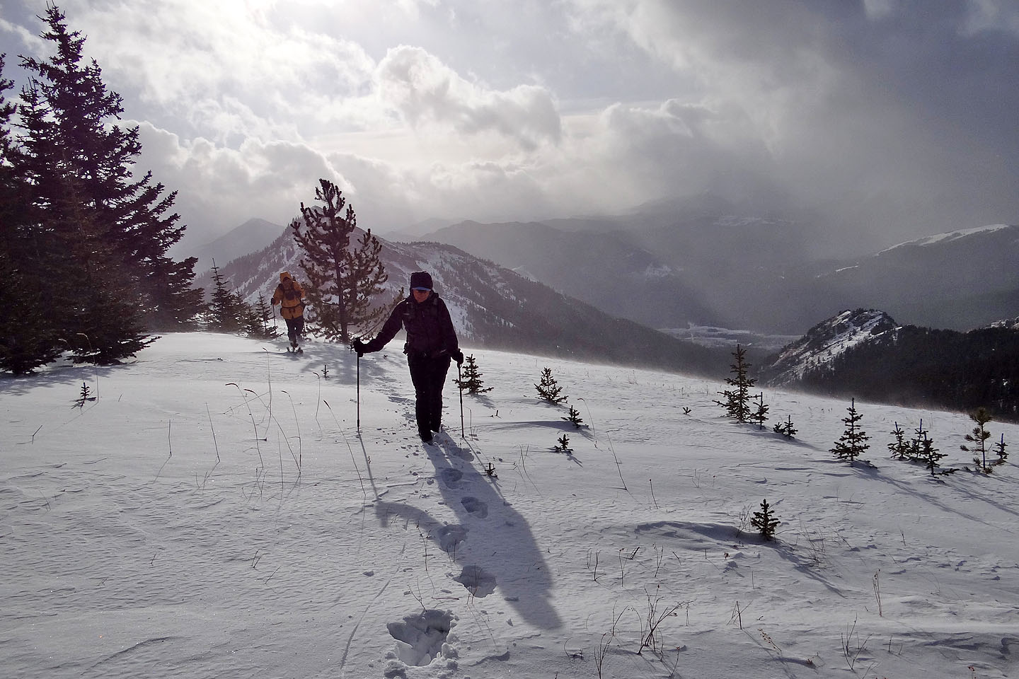
The ridge drops down a bit before the summit
Heading to the top of Stony Ridge (mouse over to look back)
We skirted along the edge of the forest before realizing the summit was in the trees
This is a summit!?
Heading back
And there's the road
Looking back from the road
82 J/7 Mount Head