bobspirko.ca | Home | Canada Trips | US Trips | Hiking | Snowshoeing | MAP | About
Cat Creek Hills (Southwest Ridge Approach)
Kananaskis, Alberta
May 14, 2011
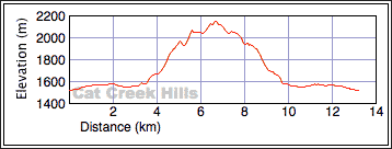
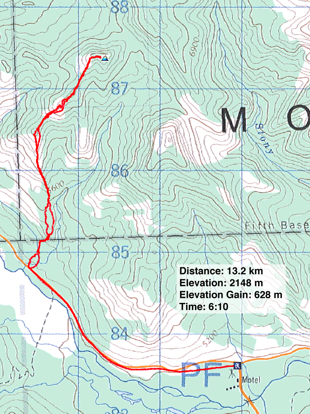
Distance: 13.2 km (8.2 mi)
Cumulative Elevation Gain: 790 m (2592 ft)
Having done many of the peaks surrounding Cat Creek Hills, it seemed appropriate to climb the highest point of Cat Creek Hills itself. Despite being an offtrail hike, the southwest ridge appeared to be the best spring route since extensive open sections along the ridge should be clear of snow. The West Ridge Approach, in contrast, takes advantage of trails but is mostly in trees.
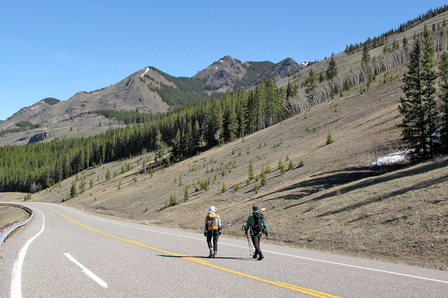
Still there were drawbacks. Since the area is home to a large number of elk (we saw two herds), we had to watch where we stepped as well as check ourselves for ticks. (Indeed, afterwards I found one of the little suckers feasting on my belly, probably attracted to the post-trip pizza I had.) Also, we had to park at the seasonal gate at Highwood Junction and walk 3 km up Highway 22 before we hit the end of the ridge. But those drawbacks didn't deter Sonny and Dinah from joining me.
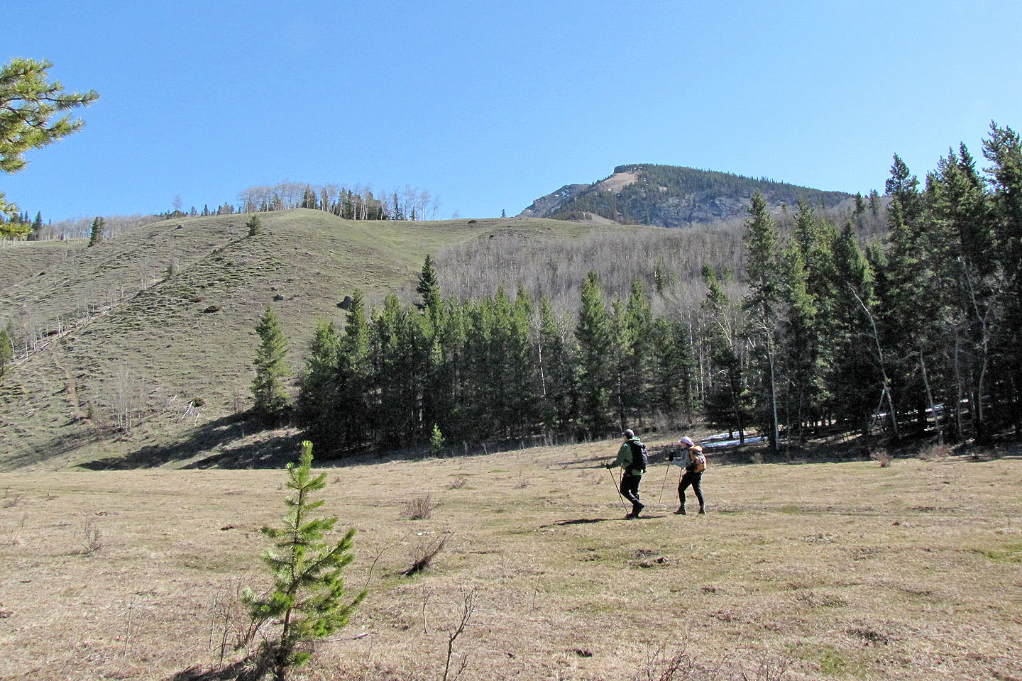
We walked up the highway, and once we passed the creek that drains between Junction Hill and Cat Creek Hills, we started up a ridge. We soon realized, however, that this was a low intervening ridge. After dropping down the other side to an old road, we found the correct ridge. (We should have followed the left bank of the creek after leaving the highway.)
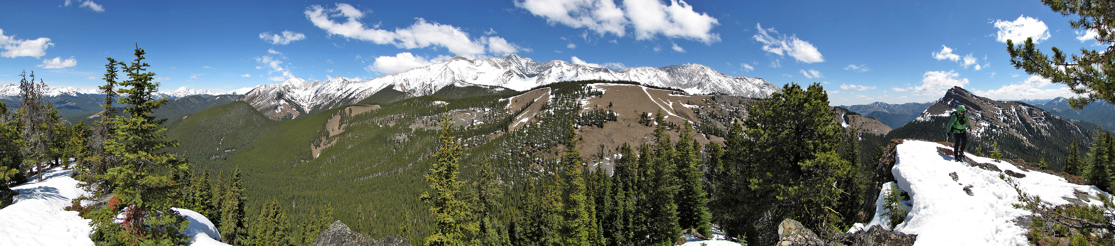
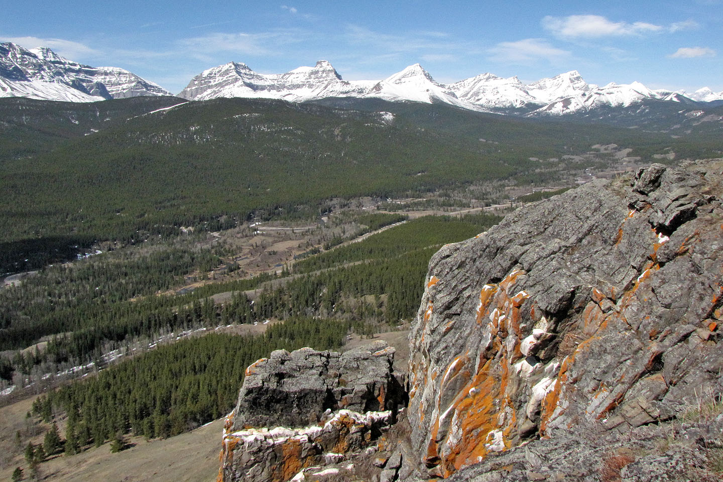
Once on the southwest ridge, we had only to follow the crest. We hiked along scenic grassy sections and went over two high points. There were plenty of vistas on the open ridges, but the high point in Cat Creek Hills – the summit – was partially treed, confining views to the east.
On the way back, we saved ourselves some effort by skirting the high points on the south side. As we walked back along the highway, we encountered cyclists taking advantage of the highway closure. At the gate, we noticed several parked cars, some for cyclists but others for hikers going up Junction Hill. But although Junction Hill attracts more hikers, Cat Creek Hills holds the best attractions.
KML and GPX Tracks
Sonny's Trip Report
From the highway we spot the first and second high points (centre). The summit is hidden.
On the road, approaching the start of the ridge. Junction Hill on the right.
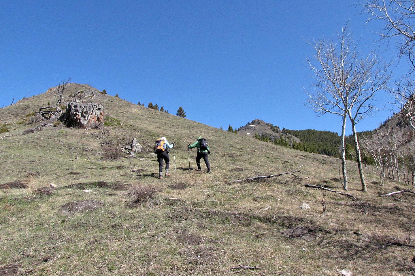
Ascending the ridge
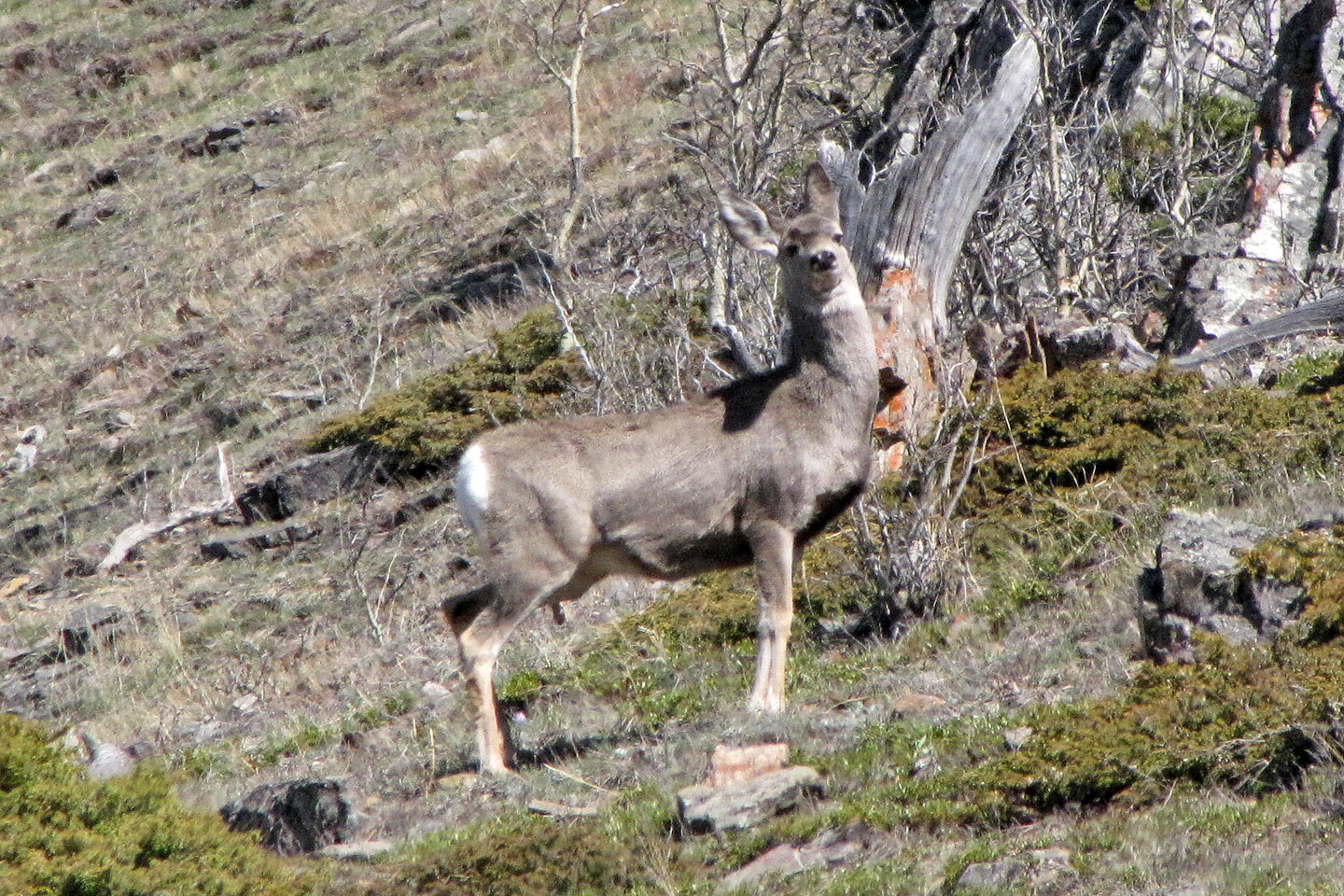
A deer pauses to watch us
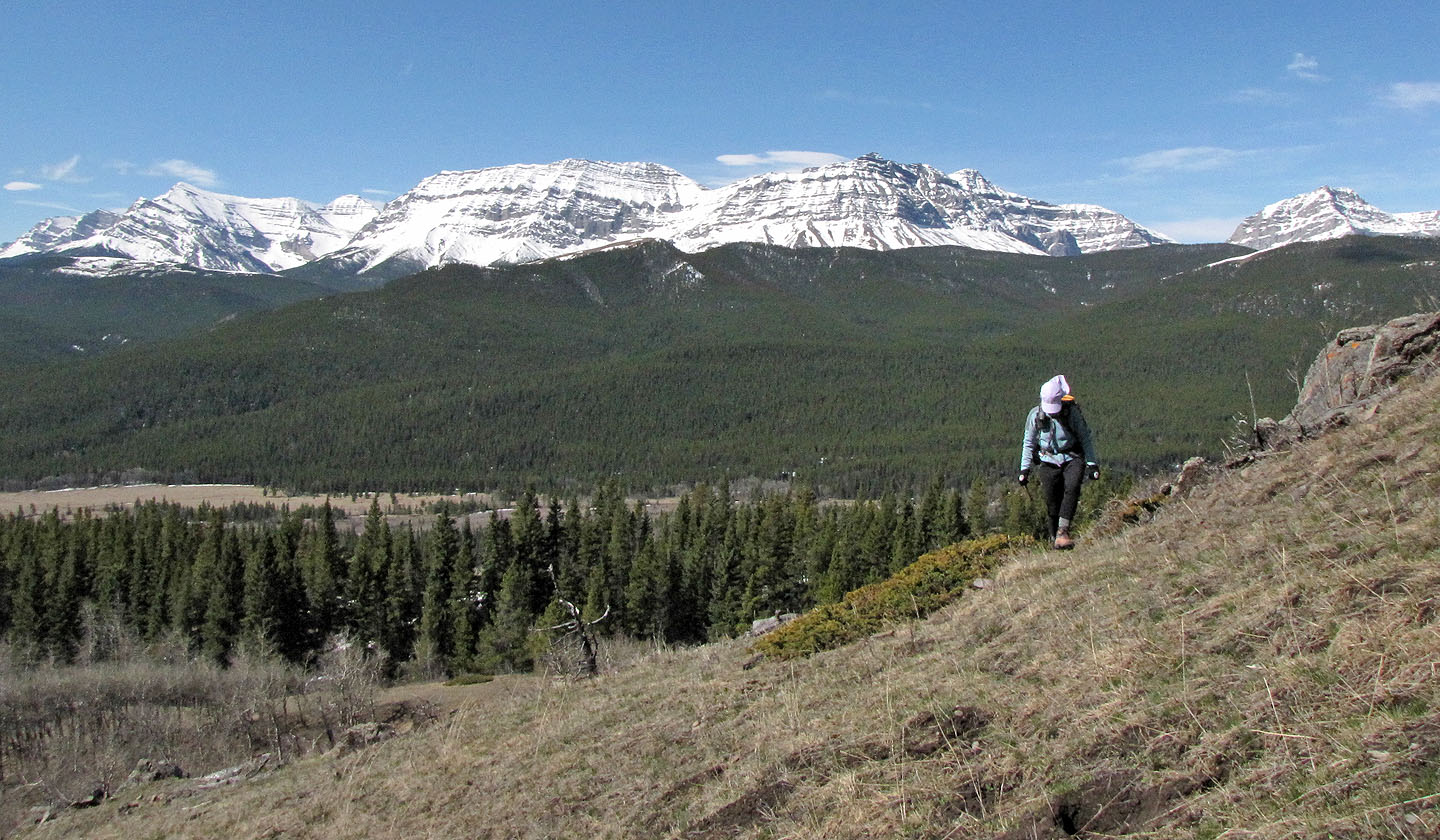
Mount Armstrong sets the backdrop
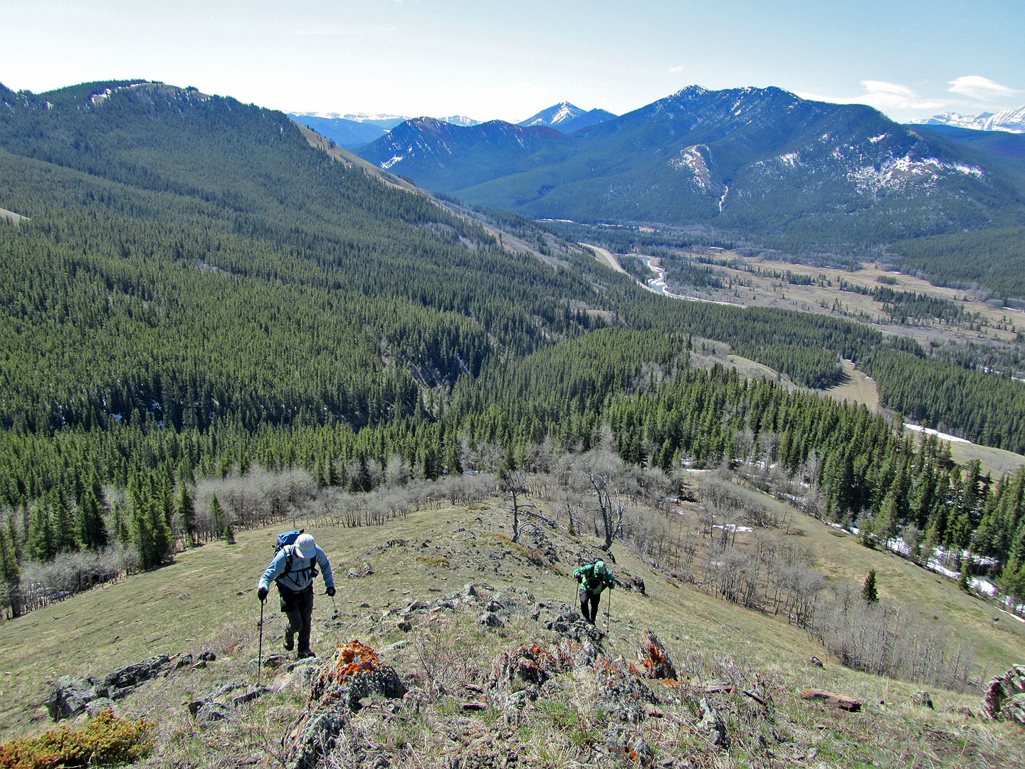
Looking back down the ridge
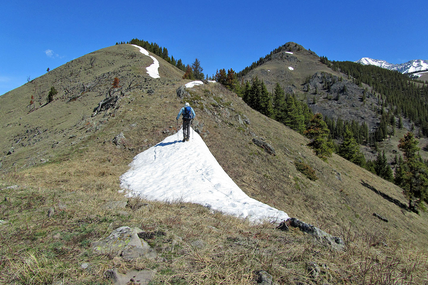
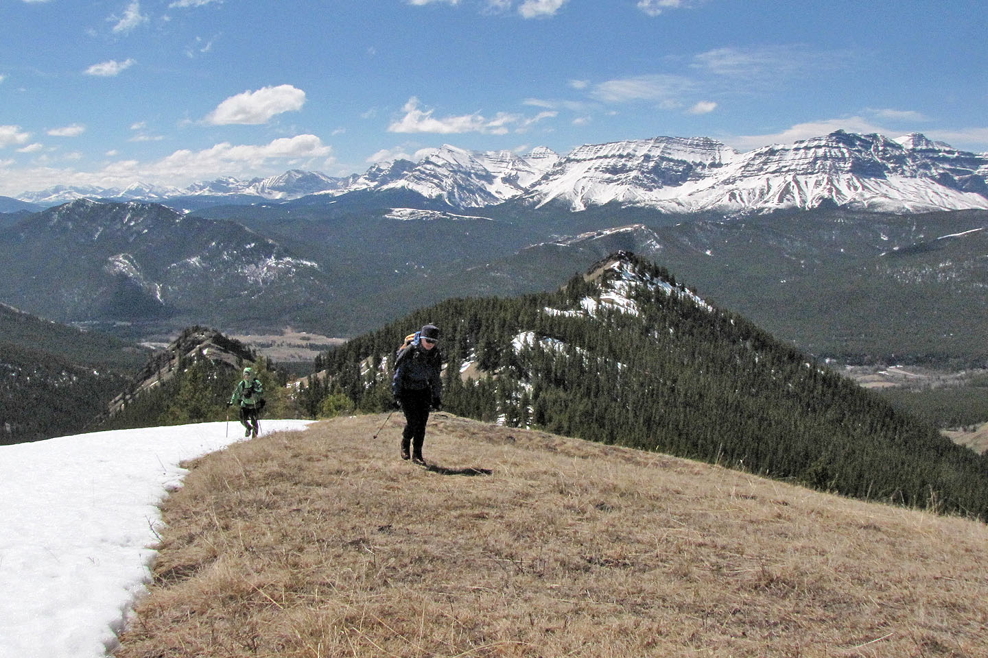
As we head to the first high point, the second high point appears on our right
Mounts Strachan, Muir and McPhail in the centre (mouse over for a close-up)
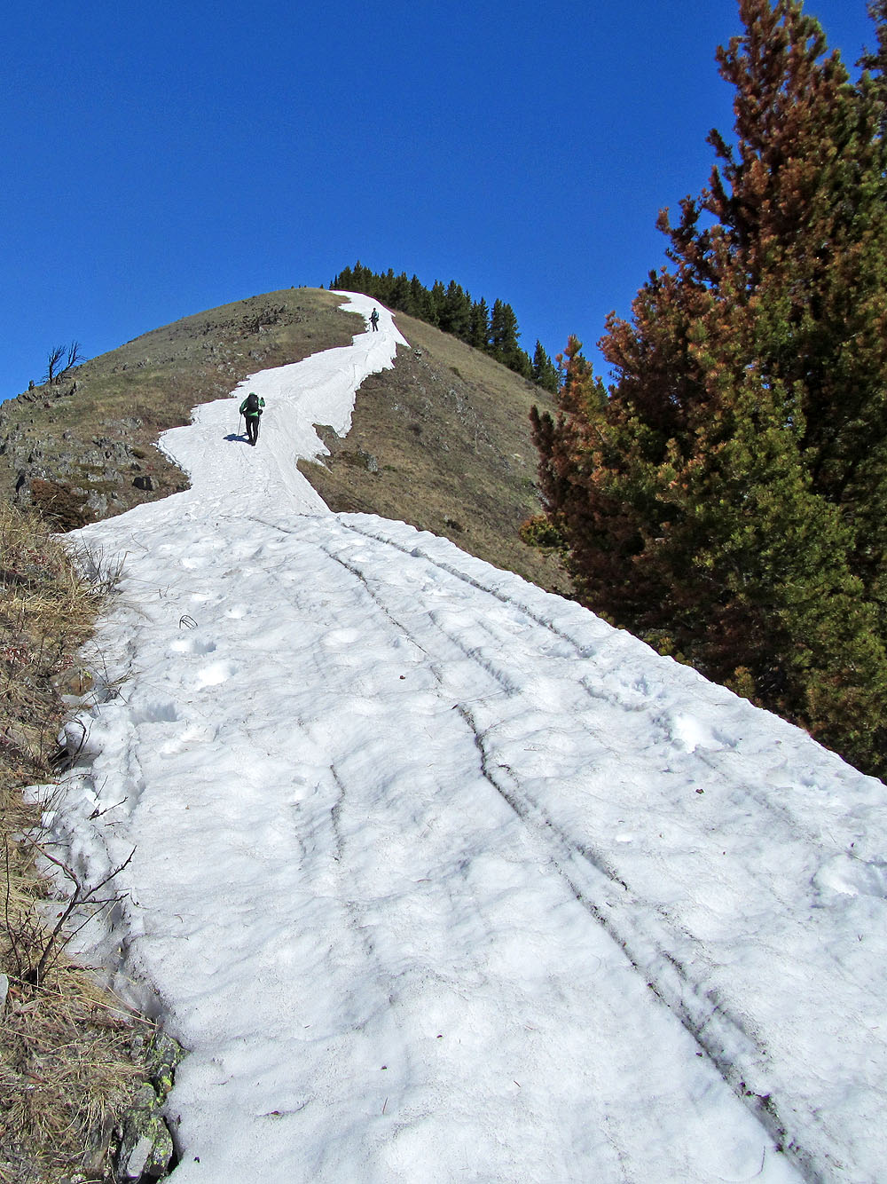
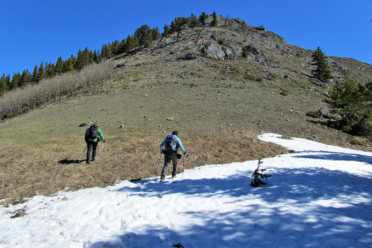
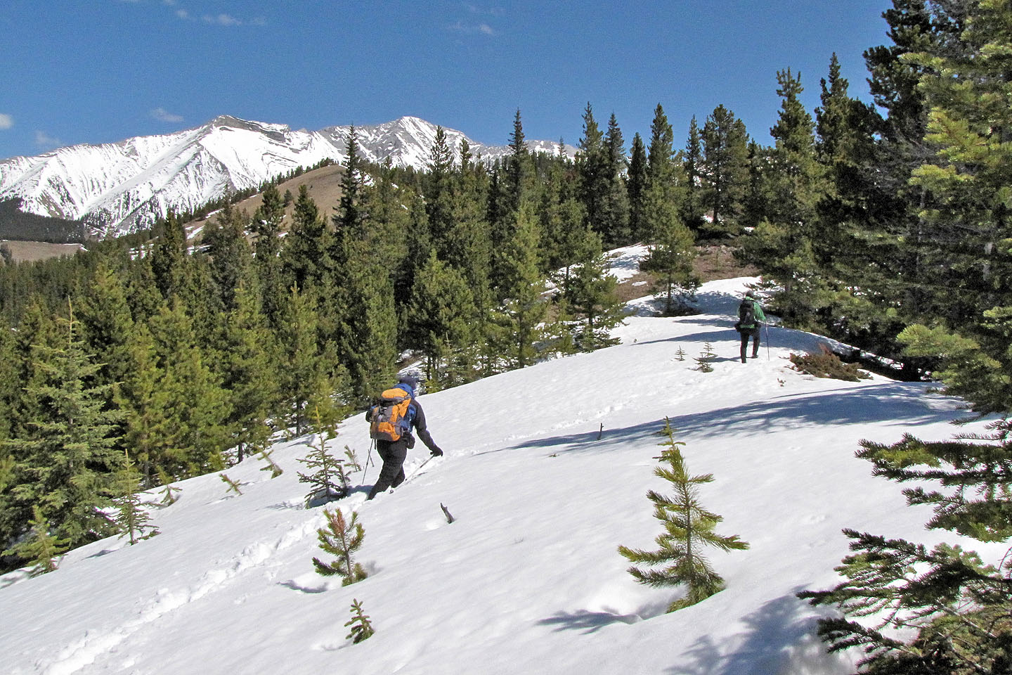
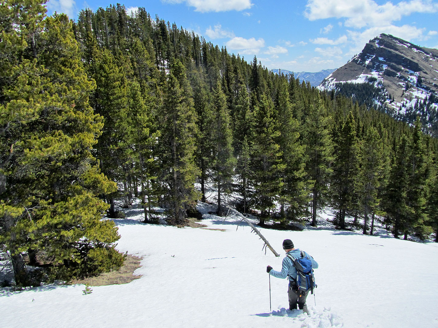
It was easier to travel on the snow (mouse over to look back)
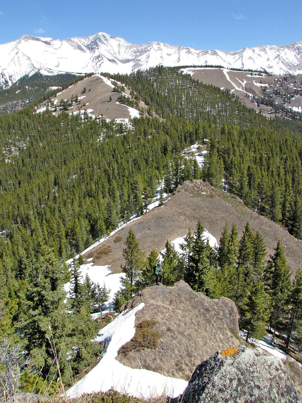
After reaching the first high point we head to the second.
Partway up
is a herd of elk (mouse over for a close-up).
Starting up the second high point

Looking back at the first high point
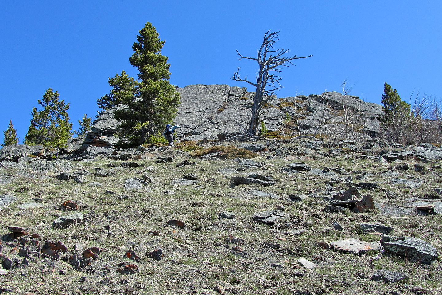
Midway we hit a wall
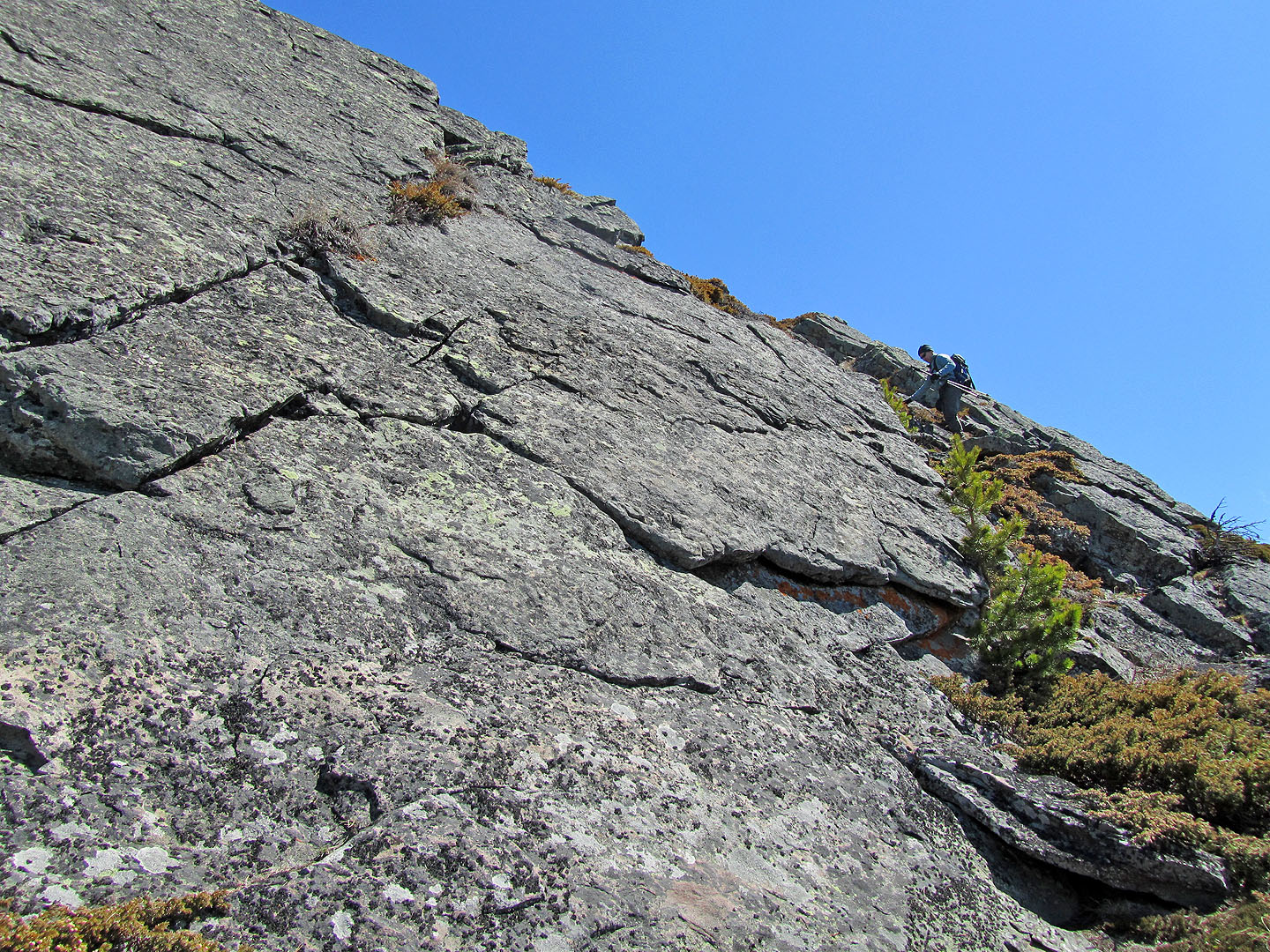
Dinah and I scrambled up the wall while Sonny went left around it
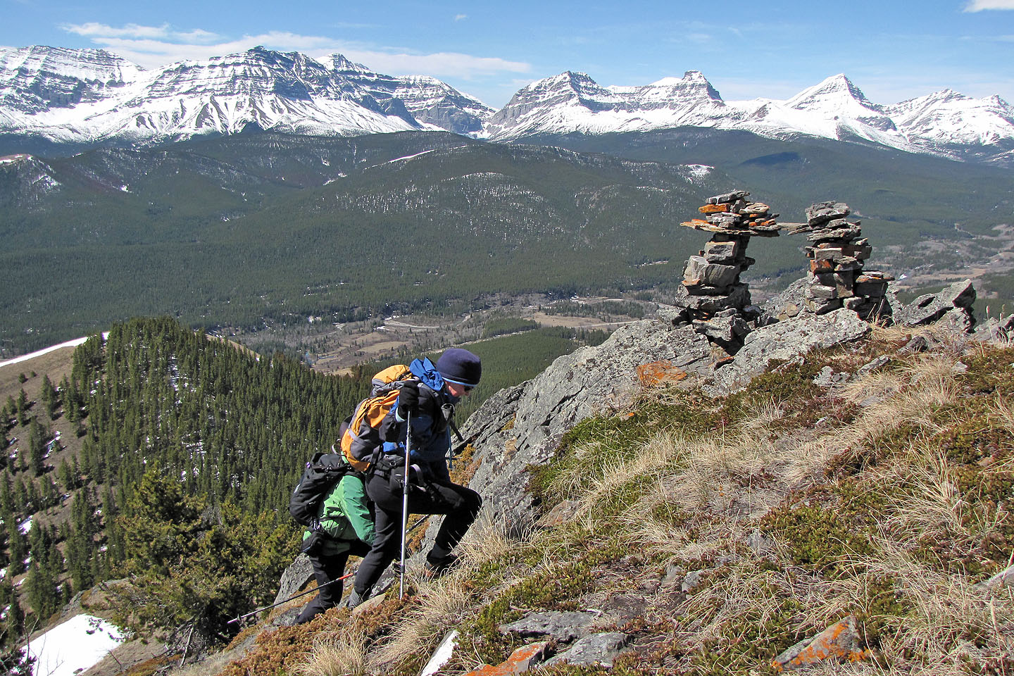
An elaborate cairn marks the second high point
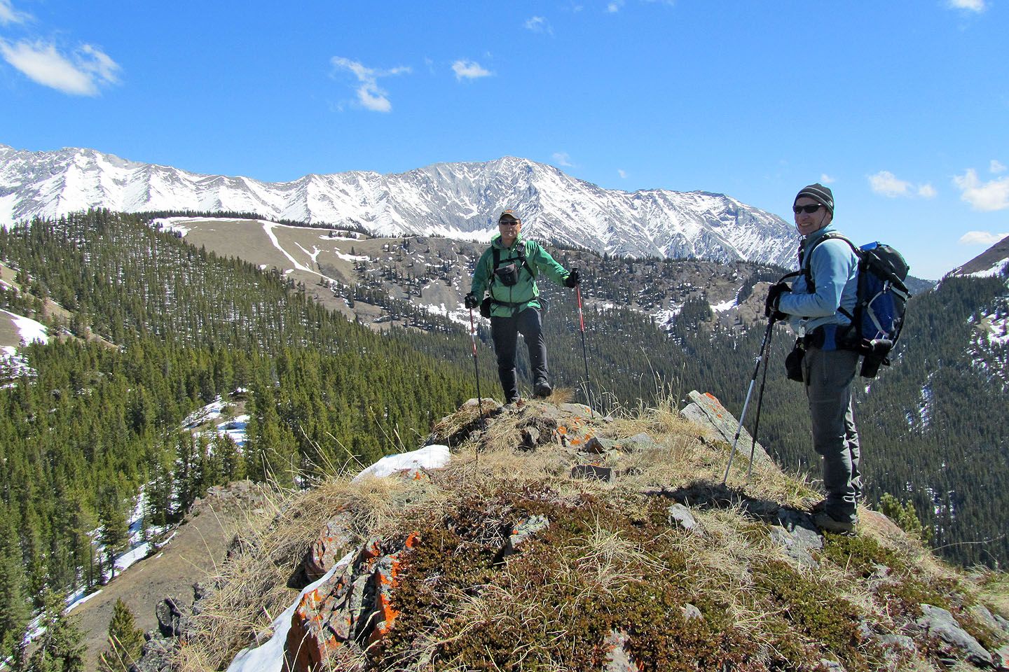
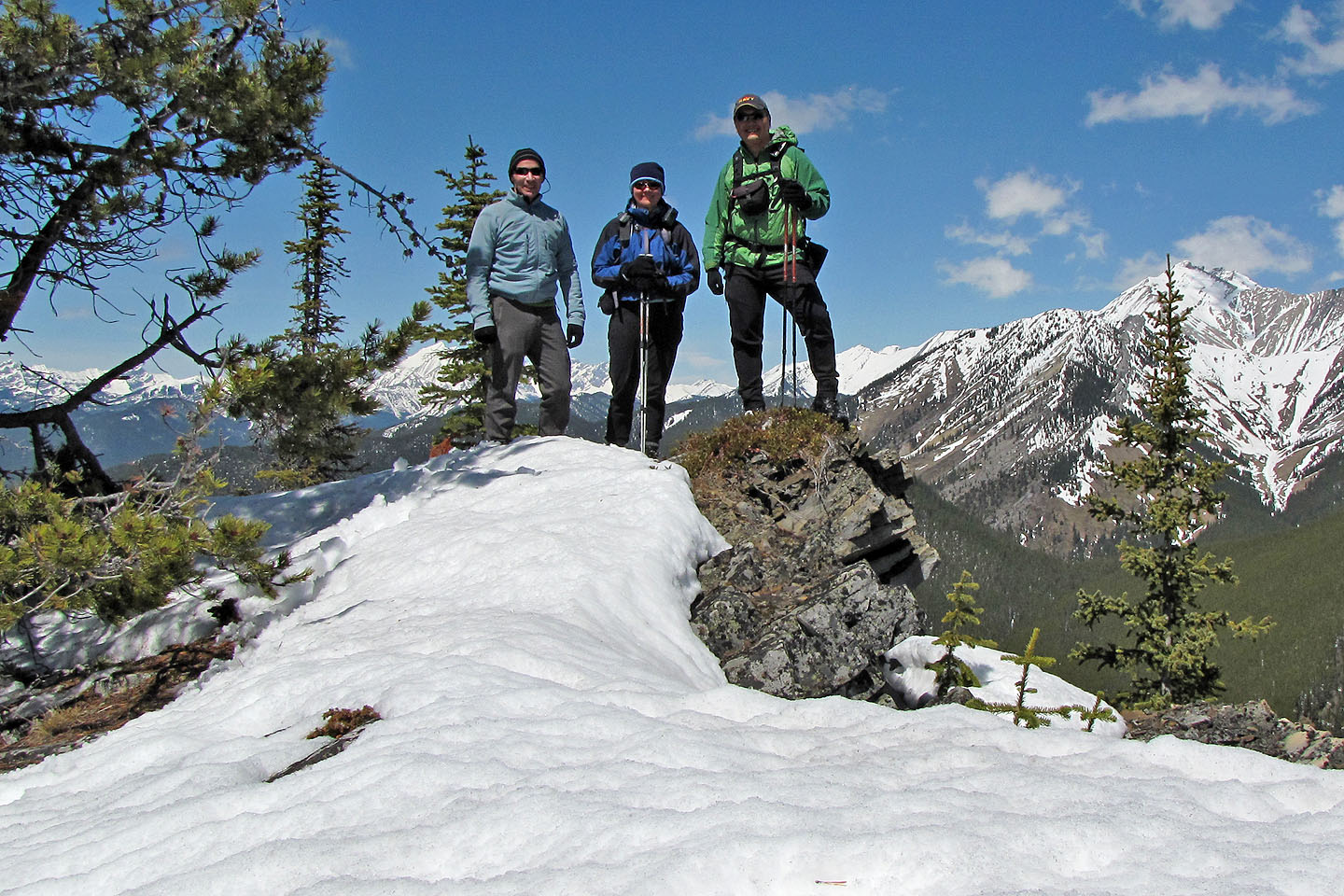
On the second high point. The ridge immediately behind us is Stony Ridge
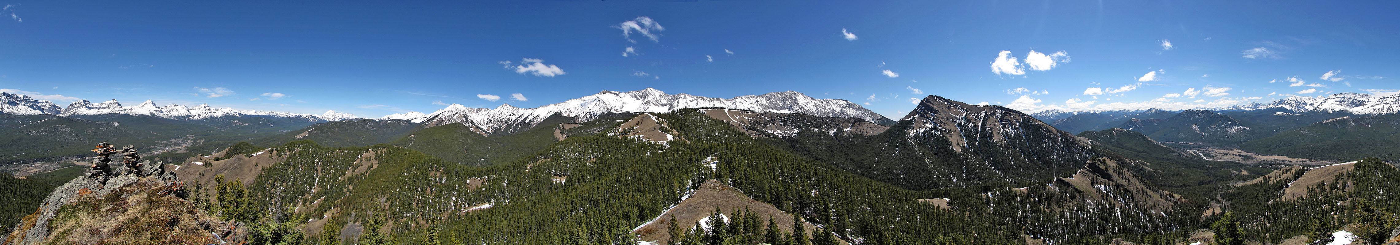
Panorama from the second high point
Sonny pauses below me on our way to the summit (centre, treed)
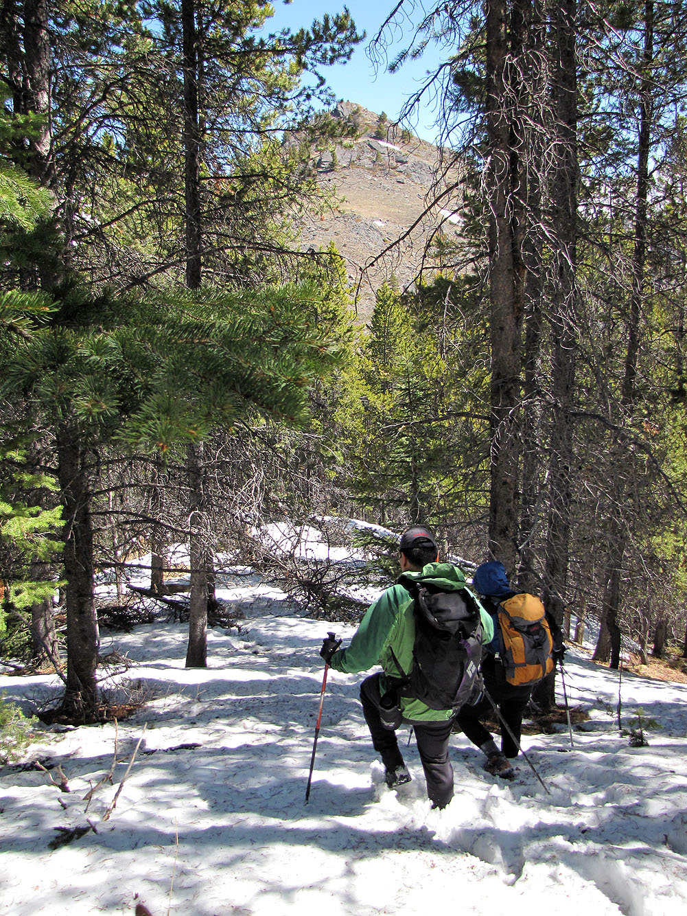
Post-holing to the summit
Arriving on the open ridge before the summit
On to the summit
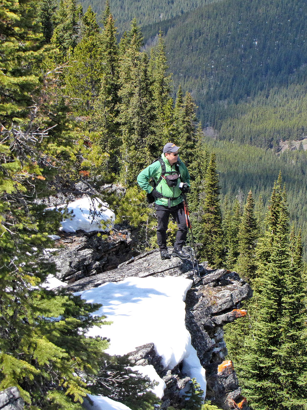
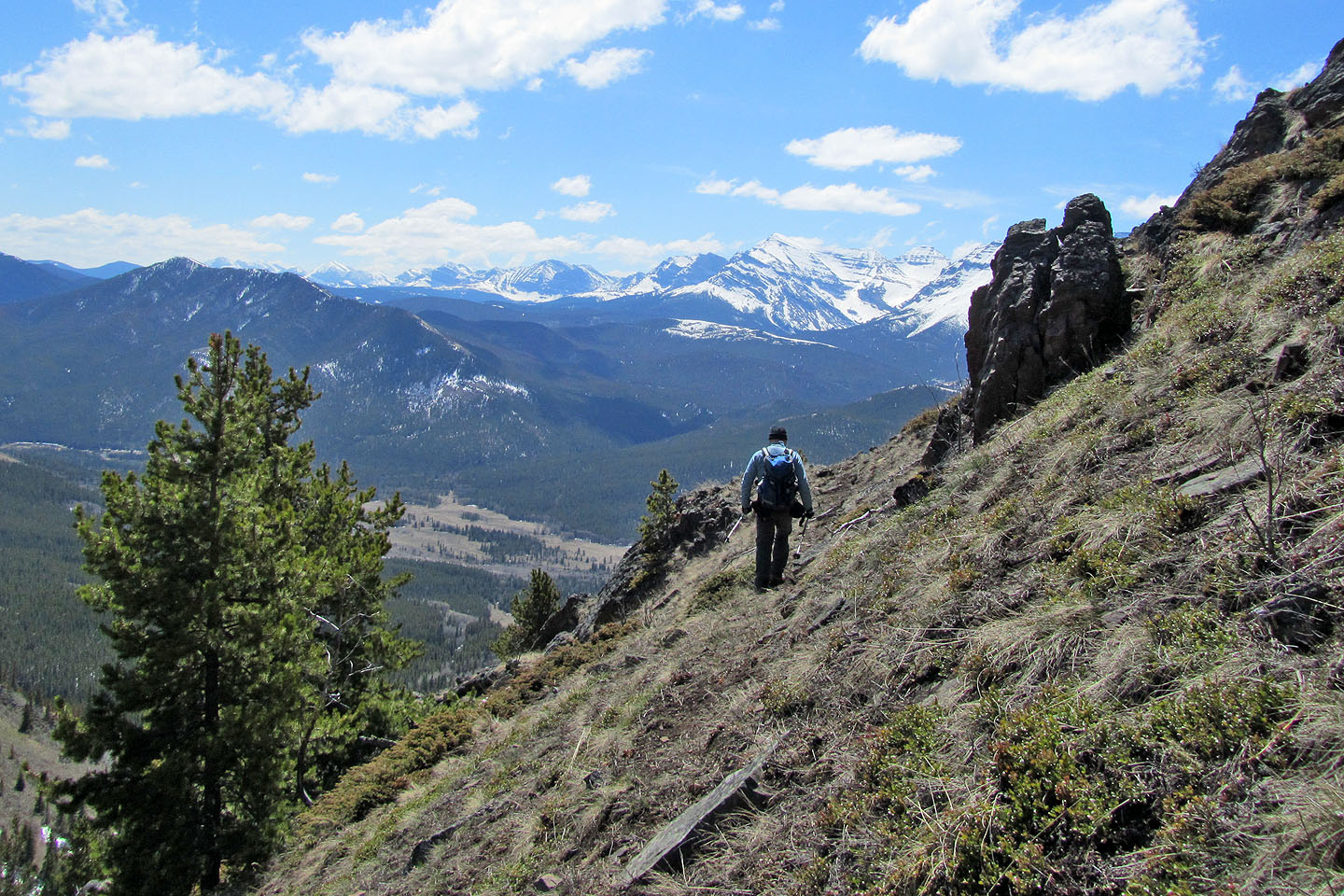
On the rocky ridge that leads to the summit, Sonny stops to look around (mouse over to zoom out)
On the highest point of Cat Creek Hills. Cat Creek Ridge far right.
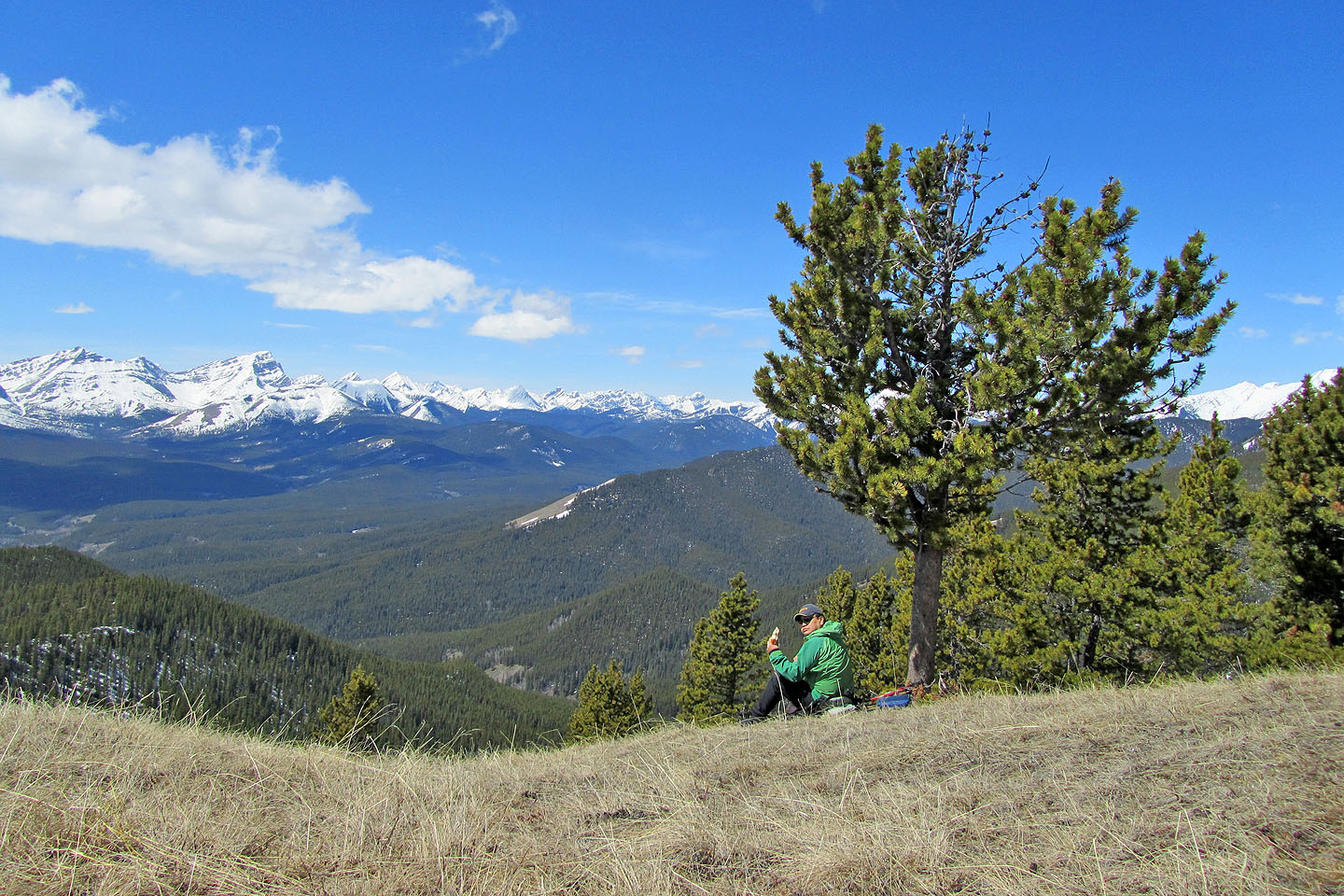
Lunch on the open slope
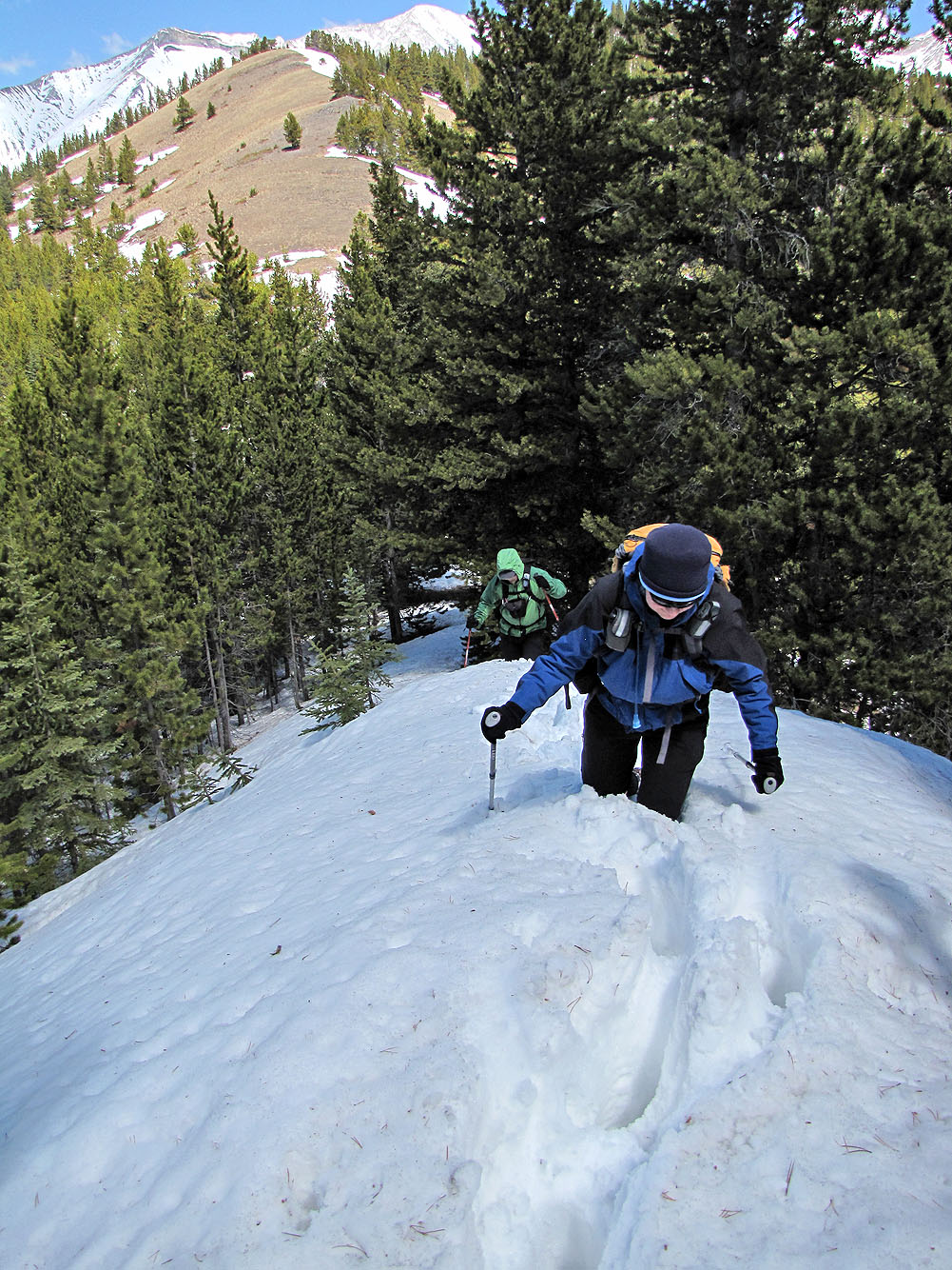
Post-holing back
Using an animal trail cut into the south side, we avoided going over the second high point
82 J/7 Mount Head